Access Sites in South Carolina
Find mapped boat ramps, launches, and public water access points across the United States.
766
Total Sites
24
Loaded
1
Regions
Map view
Explore nearby access
Pan or zoom to load the sites in view, then open a marker for details and directions.
Interactive access map
Loads after the directory is visible.
Loading...
Navigation Tips
- Zoom in to load more sites in your area of interest
- Click on clusters (numbered circles) to zoom into that area
- Click on individual markers for site details and directions
- Use scroll wheel or pinch to zoom, drag to pan
Directory results
Loaded access sites
The list reflects the current page and can be narrowed with the search field.
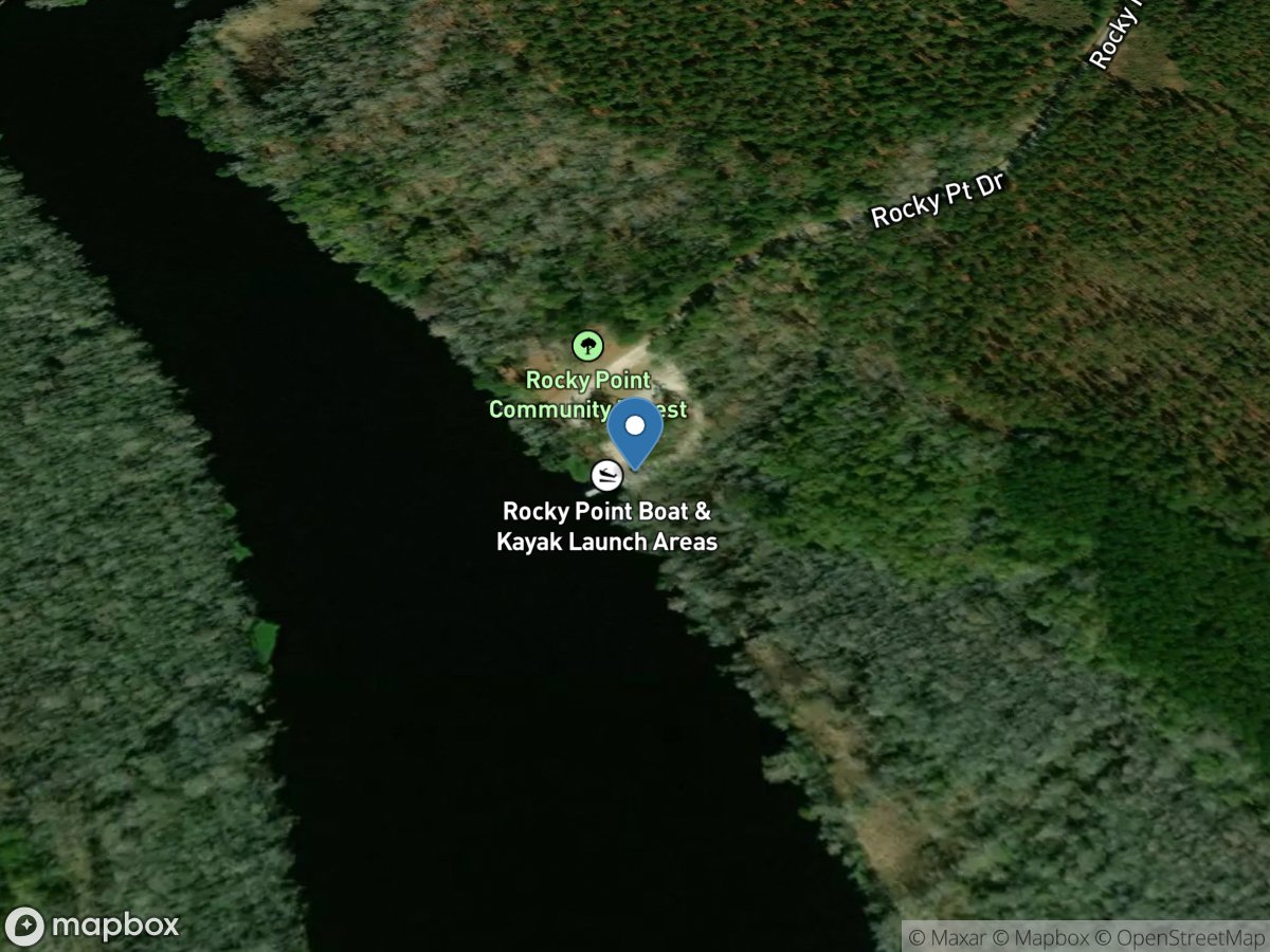
Rocky Point Landing
Access Site
Black River
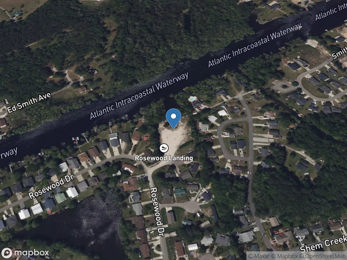
Rosewood Boat Ramp
Access Site
Atlantic Intracoastal Waterway
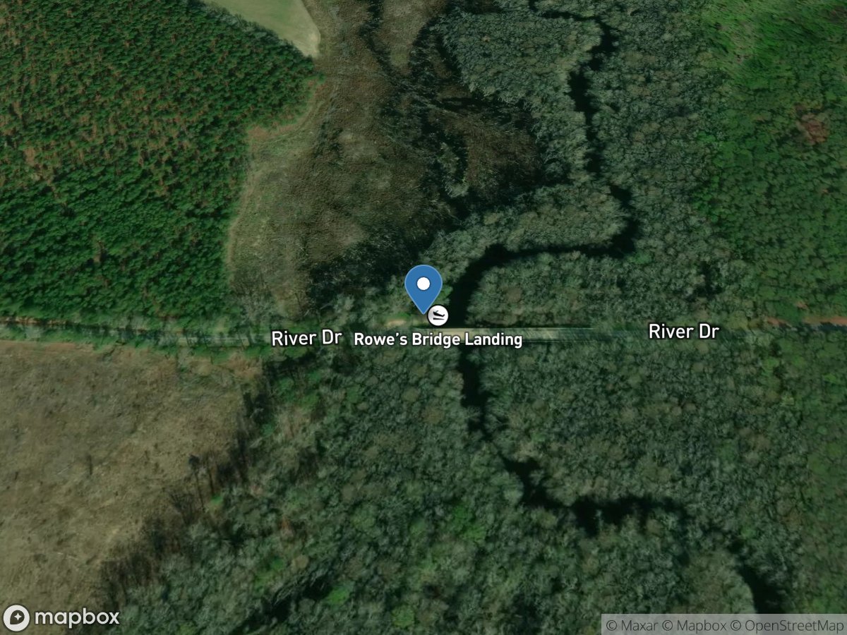
Rowes Bridge
Access Site
North Fork Edisto River
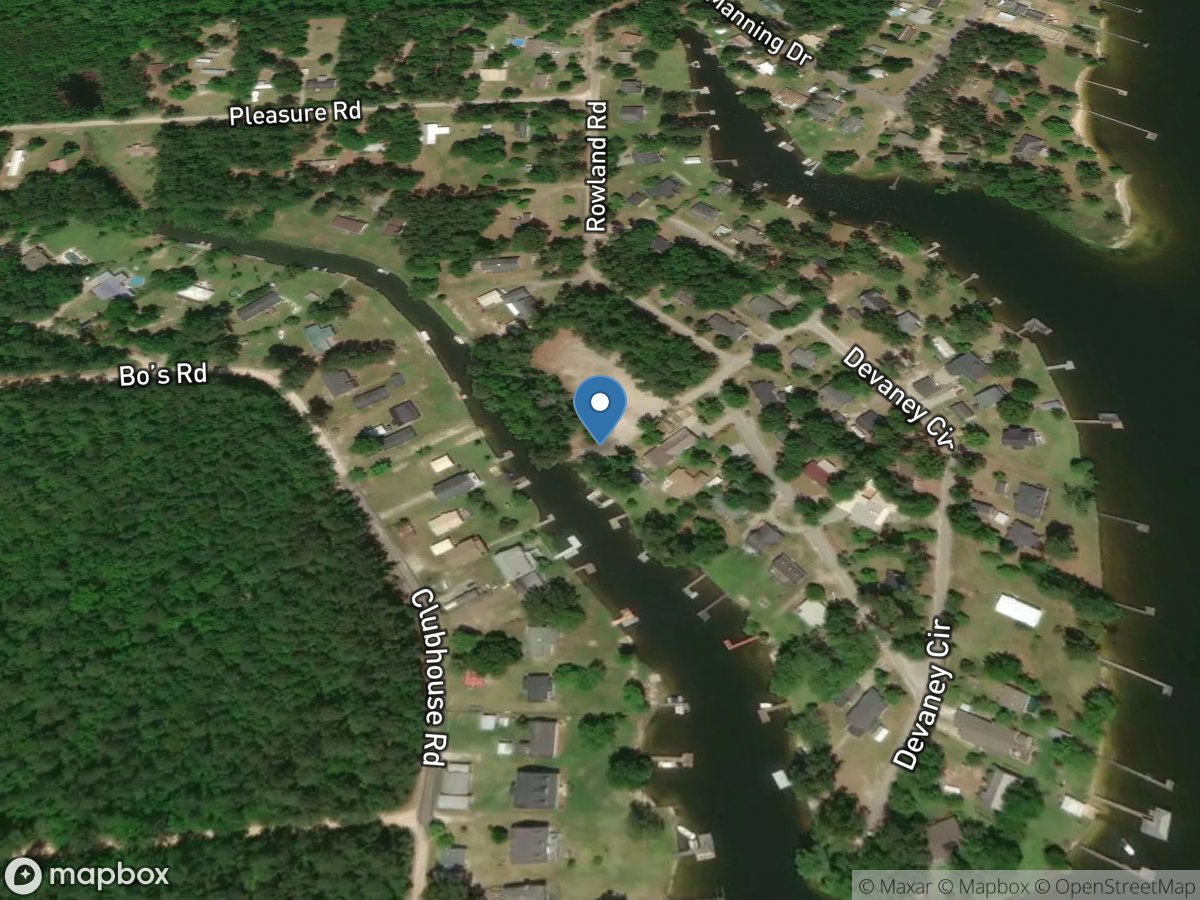
Rowland Subdivision
Access Site
Lake Marion
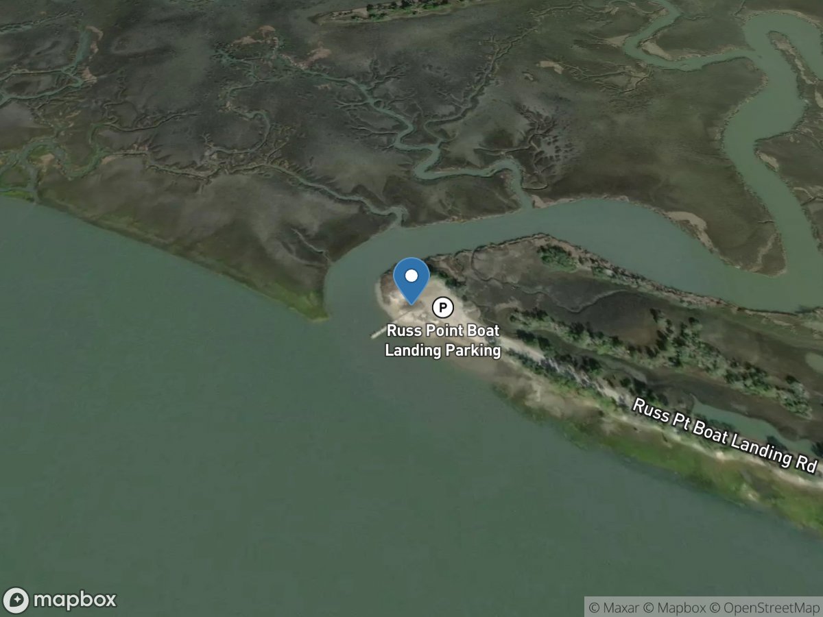
Russ Point Boat Ramp
Access Site
Fripp Inlet
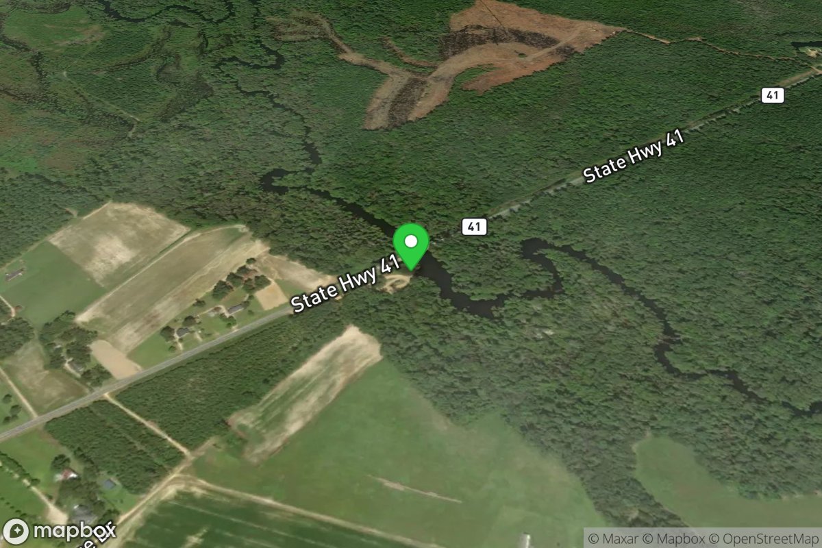
S-41/Huggins Bridge Landing
Access Site
Little Pee Dee River
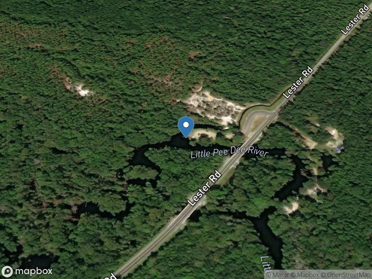
S-45/Floyd Dale Bridge Landing
Access Site
Little Pee Dee River

S-60 Bridge Access
Access Site
Little Pee Dee River
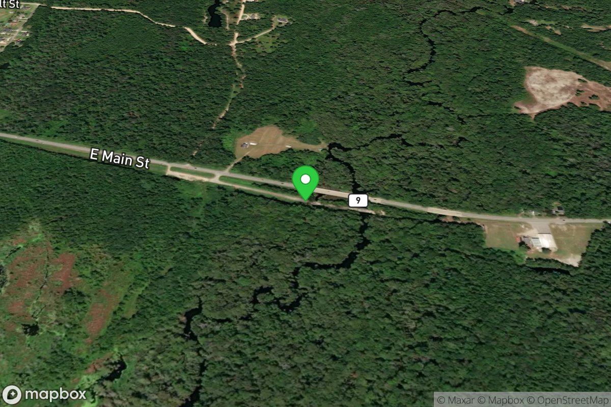
S.C. Highway 9 Throw-In
Access Site
Little Pee Dee River
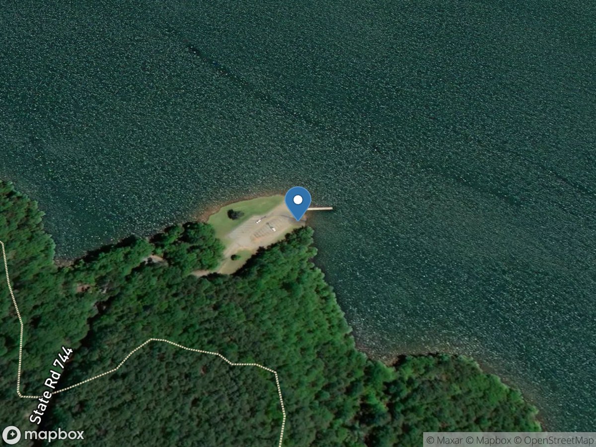
Sadlers Creek State Park
Access Site
Savannah River - Lake Hartwell
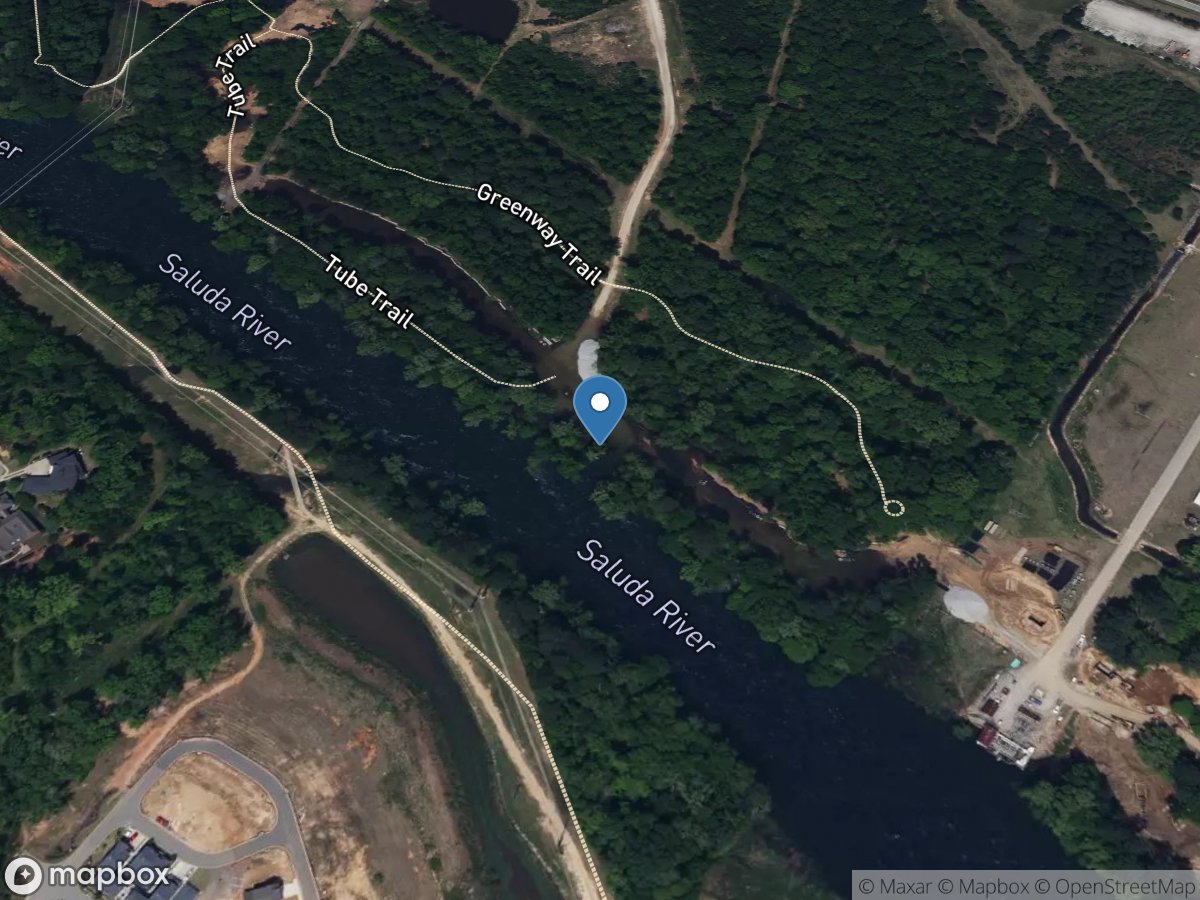
Saluda Shoals (Lower)
Access Site
Saluda River
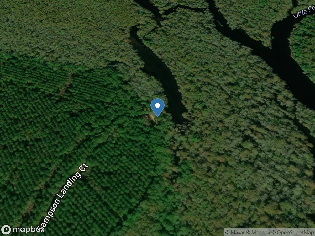
Sampson Landing
Access Site
Little Pee Dee River
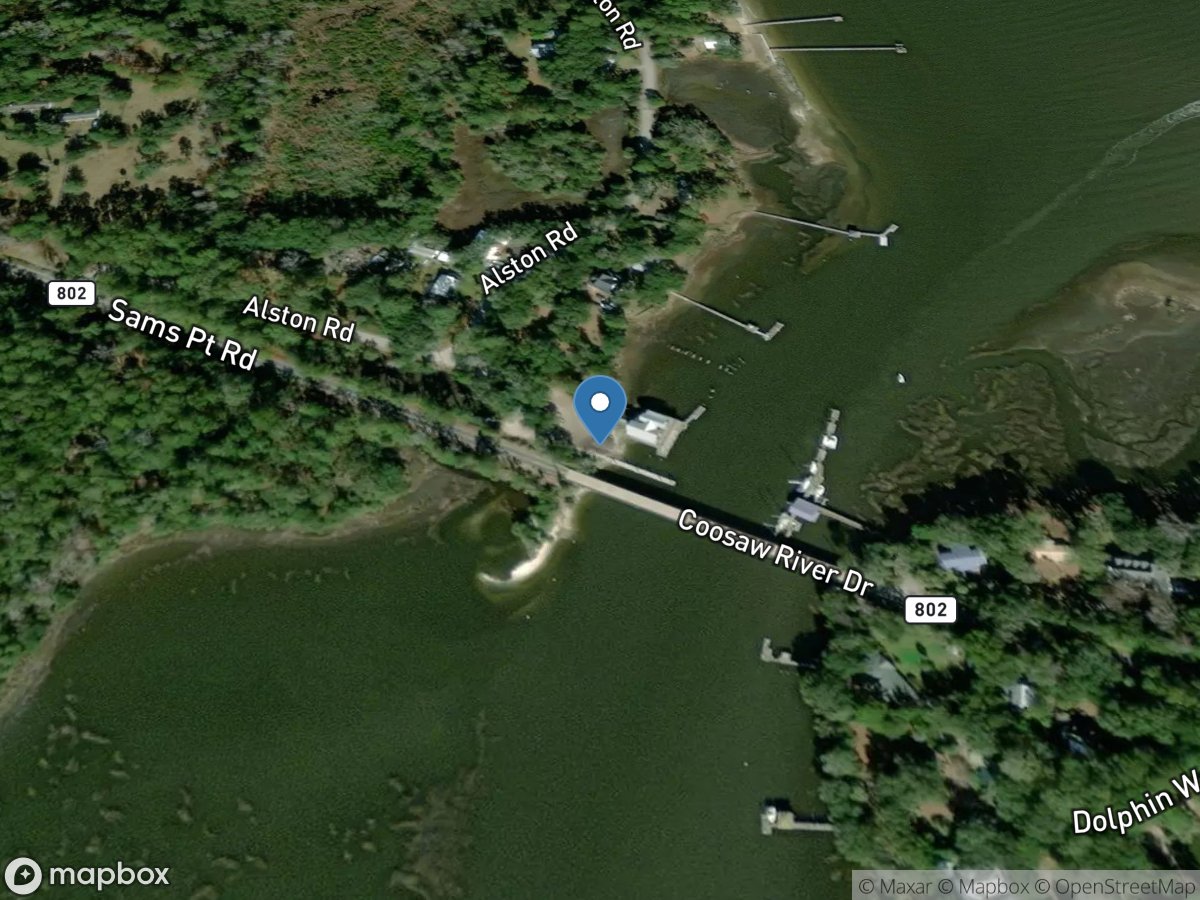
Sams Point Boat Ramp
Access Site
Lucy Point Creek
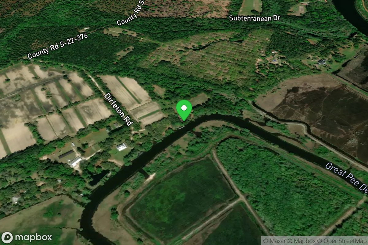
Samworth WMA
Access Site
Pee Dee River
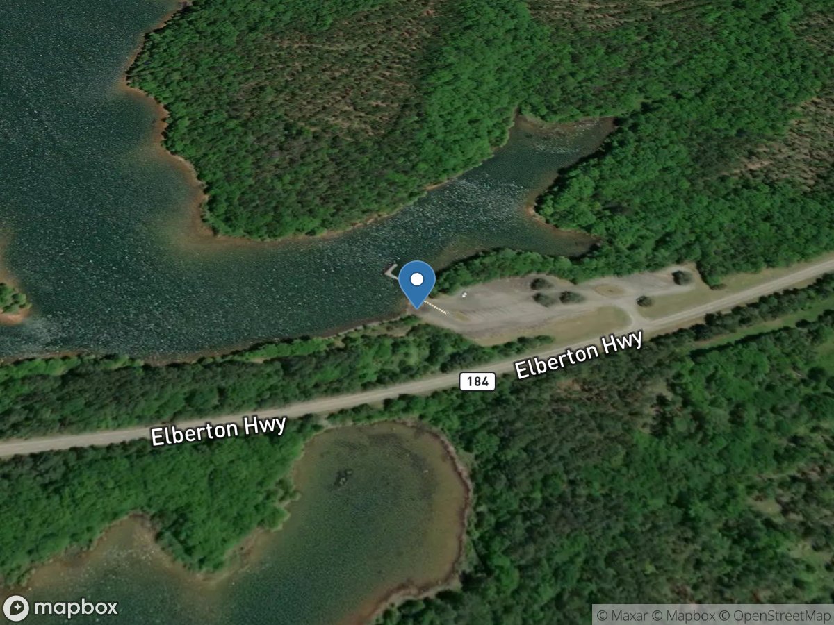
Sanders Ferry
Access Site
Savannah River - Lake Richard B. Russell
Sanders Landing
Access Site
Little Pee Dee River
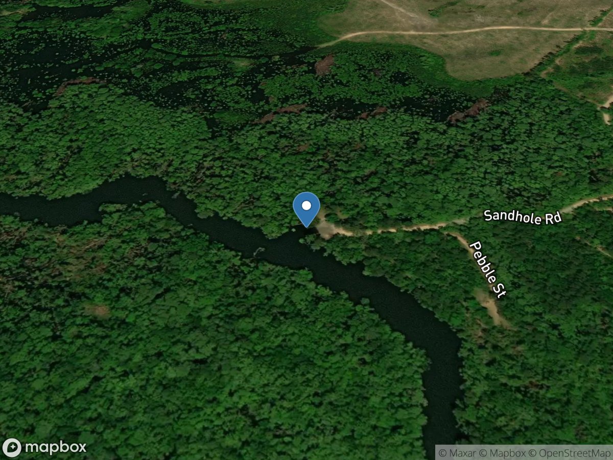
Sandhole
Access Site
Wadmacon Creek
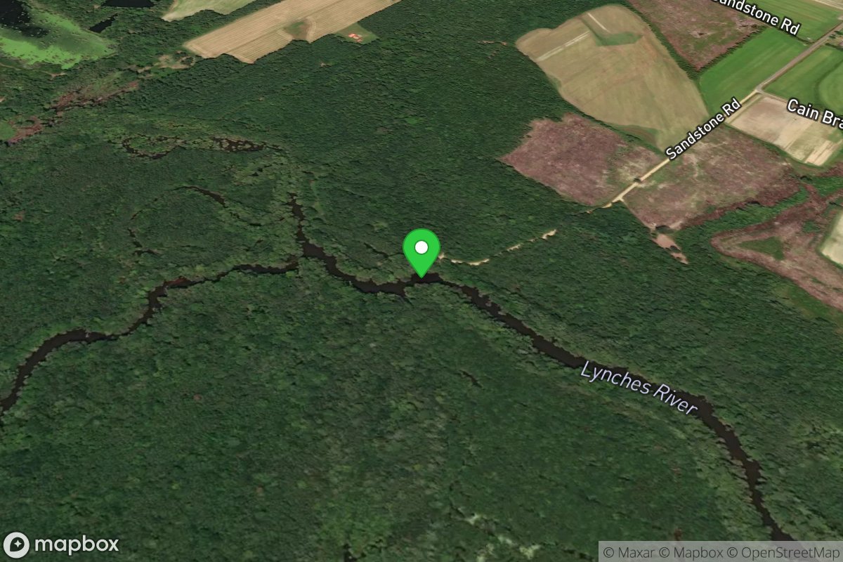
Sandstone Landing
Access Site
Lynches River
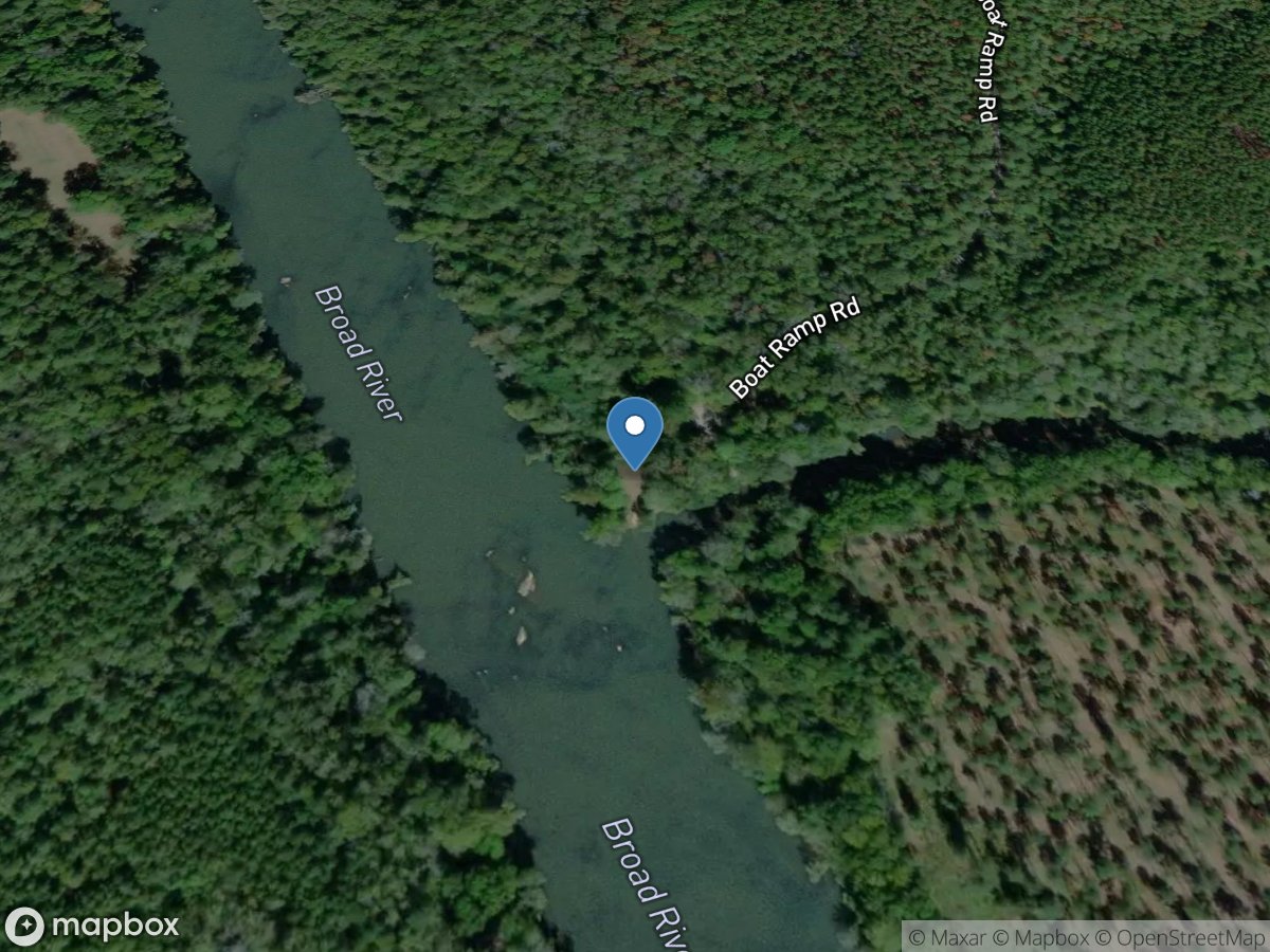
Sandy and Broad River
Access Site
Sandy River
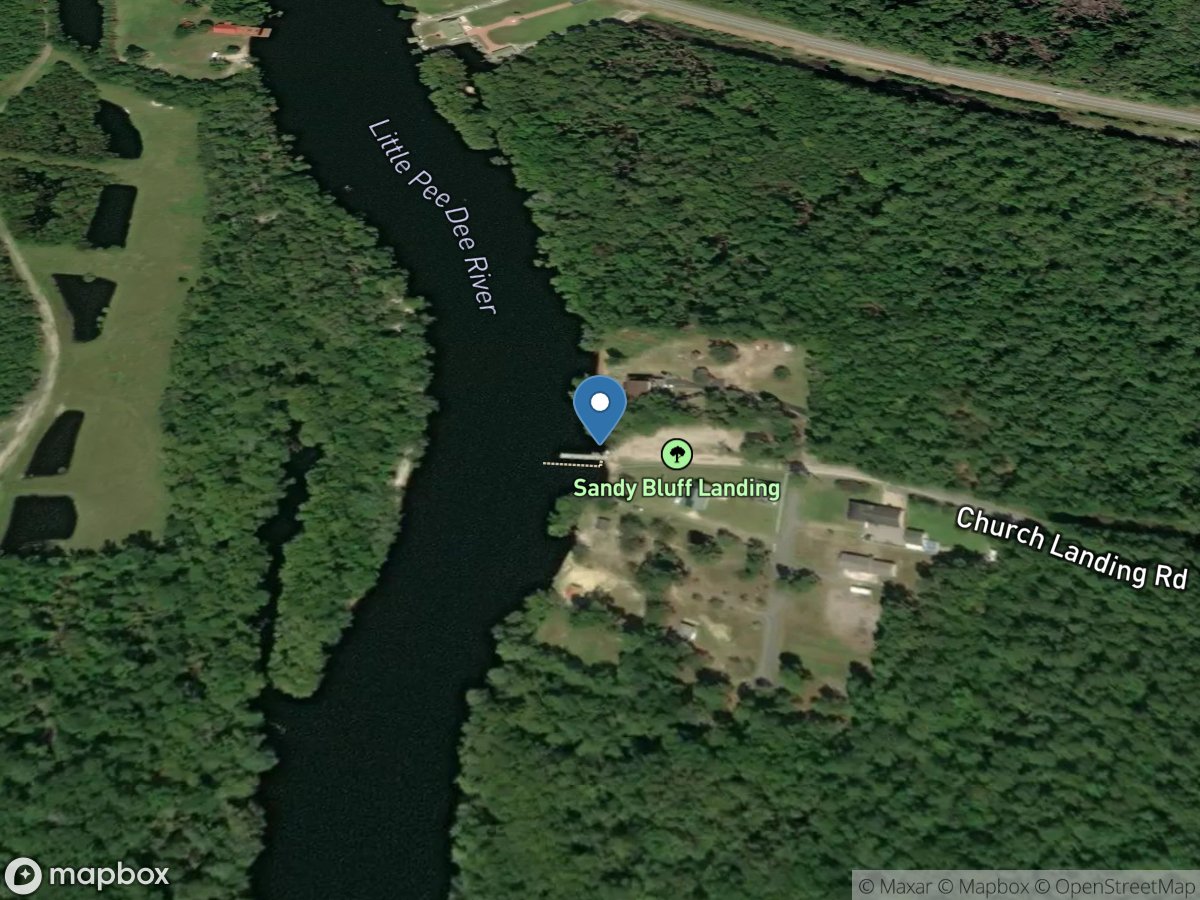
Sandy Bluff Landing
Access Site
Little Pee Dee River
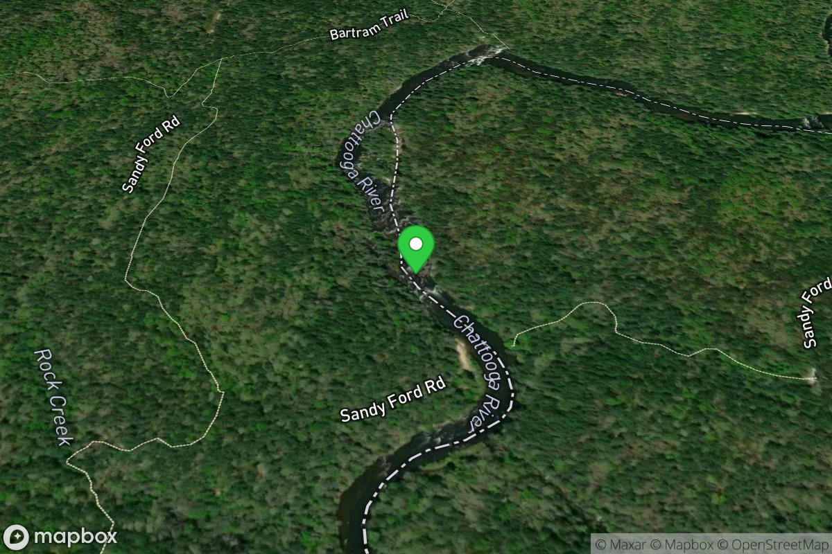
Sandy Ford Rapid
Access Site
Chattooga
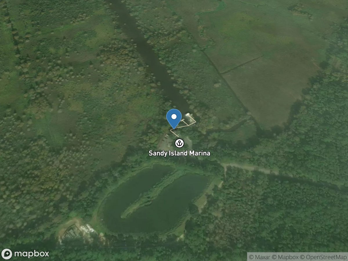
Sandy Island Boat Ramp
Access Site
Waccamaw River
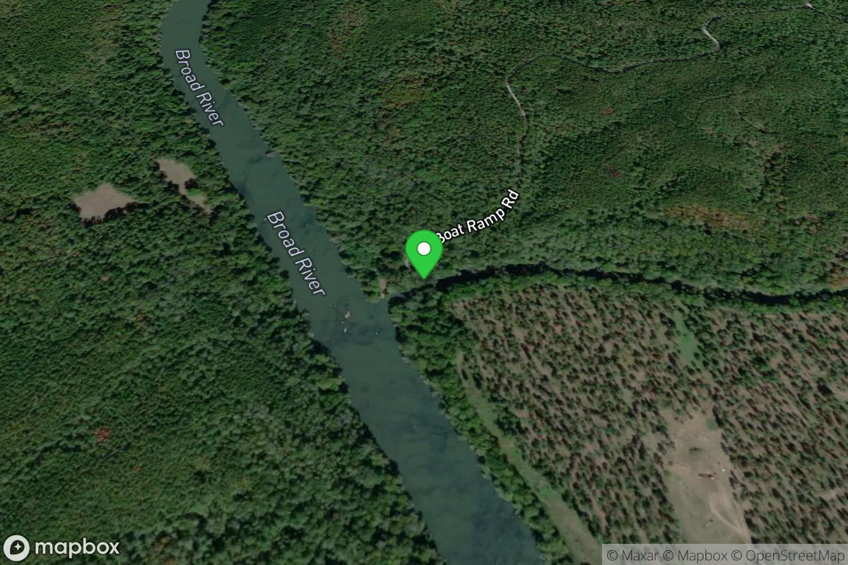
Sandy River Access
Access Site
Broad River
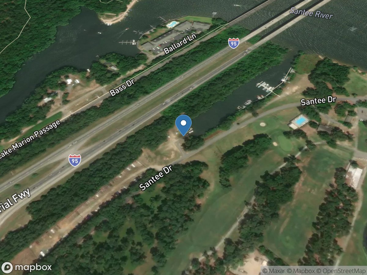
Santee Cooper Country Club
Access Site
Lake Marion