Access Sites in New Hampshire
Find mapped boat ramps, launches, and public water access points across the United States.
488
Total Sites
24
Loaded
1
Regions
Map view
Explore nearby access
Pan or zoom to load the sites in view, then open a marker for details and directions.
Interactive access map
Loads after the directory is visible.
Loading...
Navigation Tips
- Zoom in to load more sites in your area of interest
- Click on clusters (numbered circles) to zoom into that area
- Click on individual markers for site details and directions
- Use scroll wheel or pinch to zoom, drag to pan
Directory results
Loaded access sites
The list reflects the current page and can be narrowed with the search field.
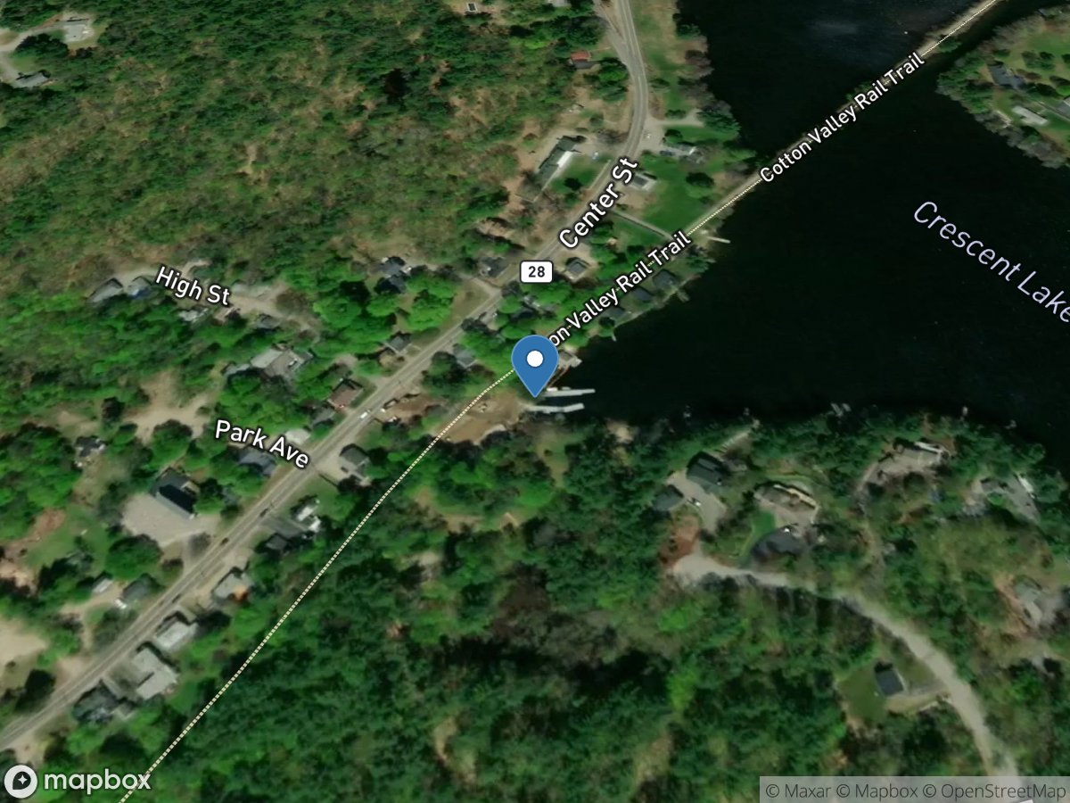
Mast Landing
Access Site
Crescent Lake
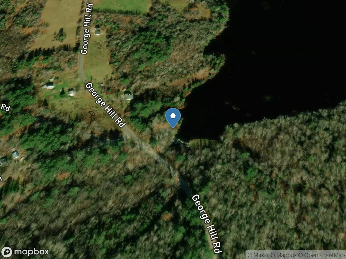
McDaniels Marsh Waterfowl Management Area
Access Site
McDaniels Marsh
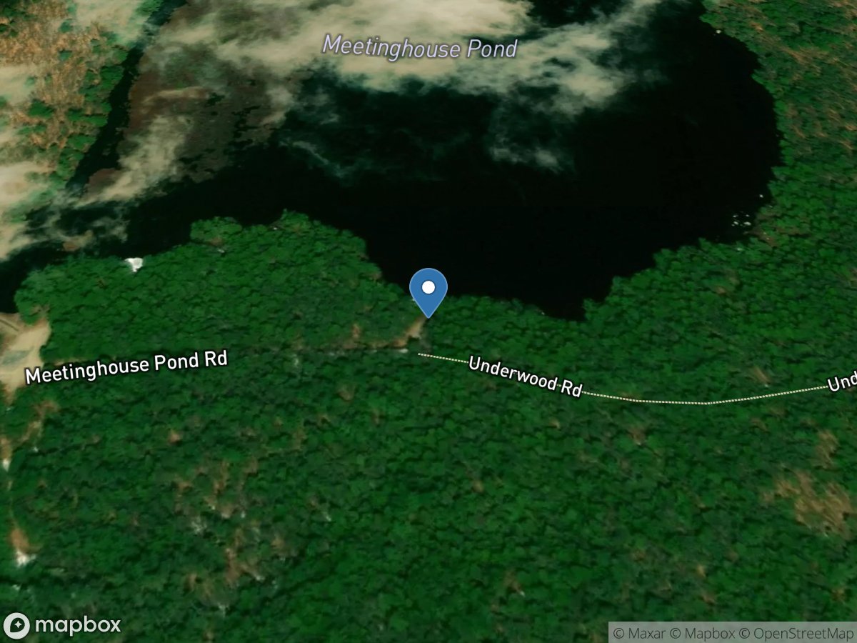
Meetinghouse Pond
Access Site
Meetinghouse Pond
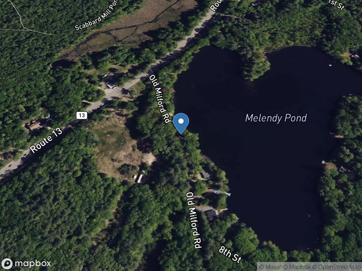
Melendy Pond
Access Site
Melendy Pond
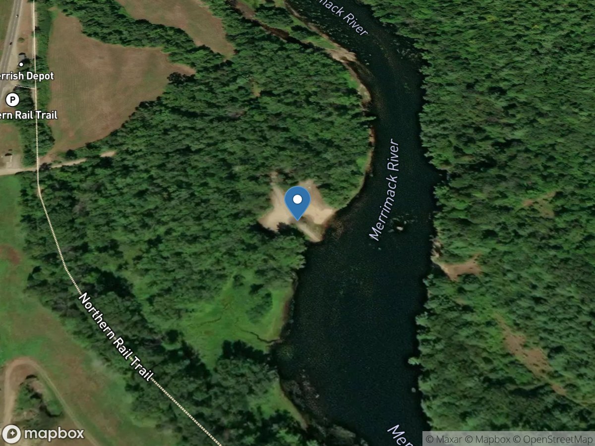
Merrimack County Facility
Access Site
Merrimack River
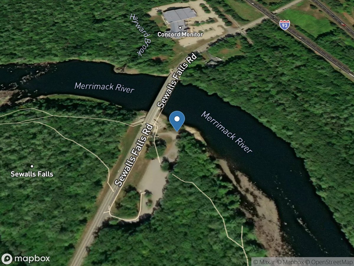
Merrimack River
Access Site
Merrimack River
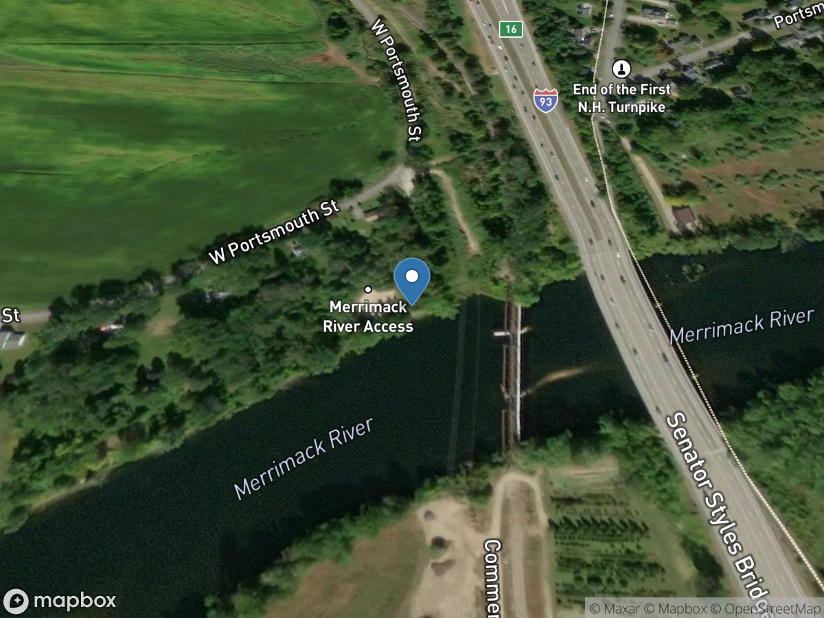
Merrimack River (East Concord)
Access Site
Merrimack River
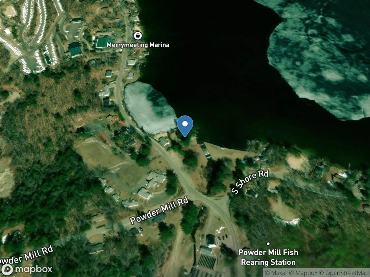
Merrymeeting Lake
Access Site
Merrymeeting Lake
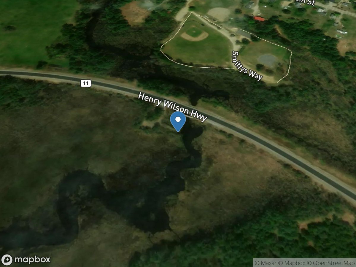
Merrymeeting Marsh
Access Site
Merrymeeting River
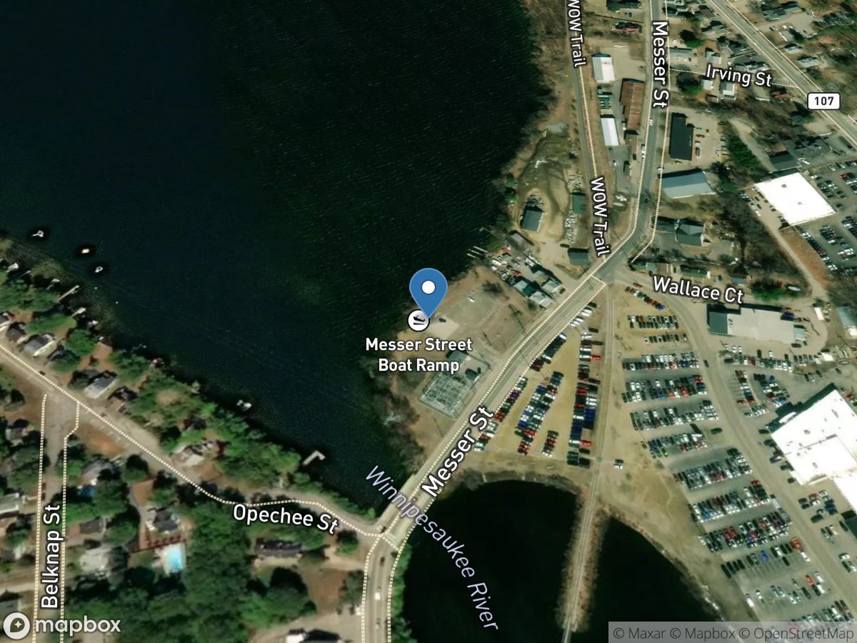
Messer Street
Access Site
Opechee Bay
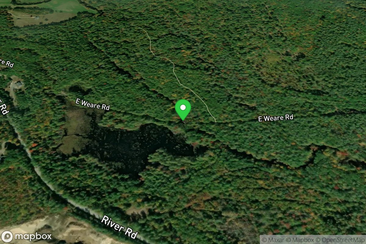
Middle Take-out
Access Site
Piscataquog, North Branch
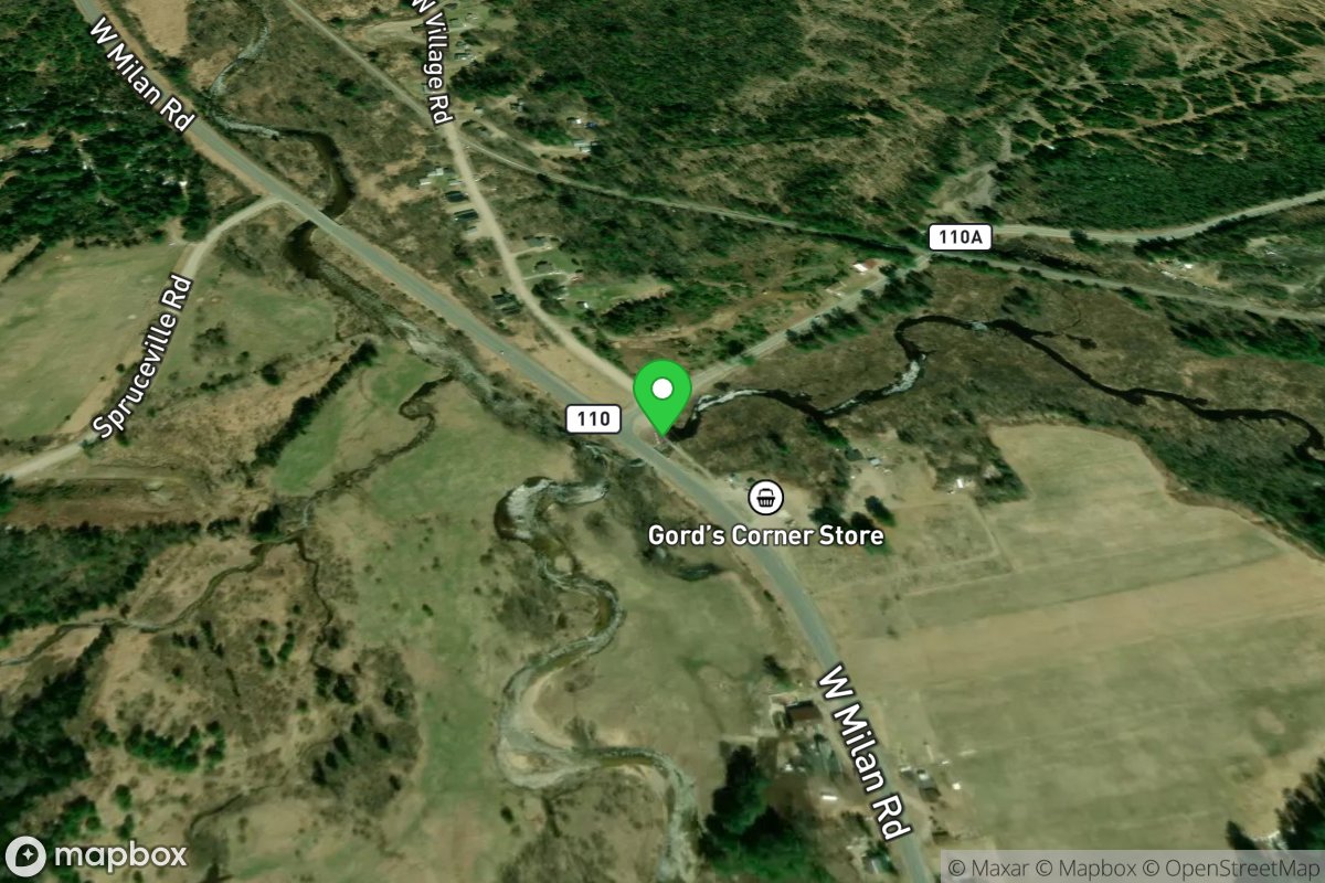
Milan
Access Site
Northern Forest Canoe Trail
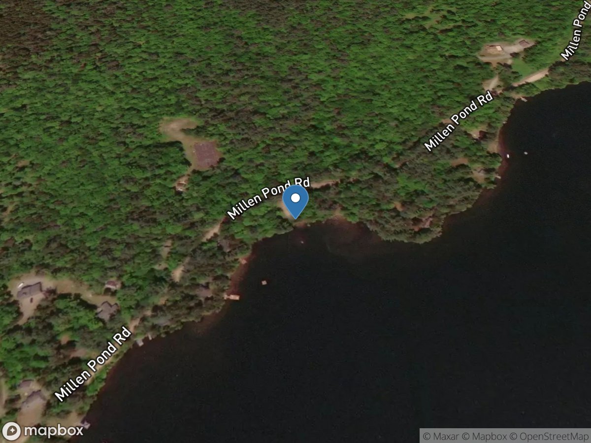
Millen Lake Access
Access Site
Millen Lake
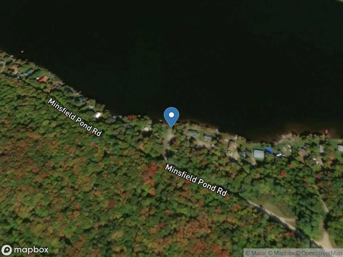
Millsfield Pond
Access Site
Millsfield Pond
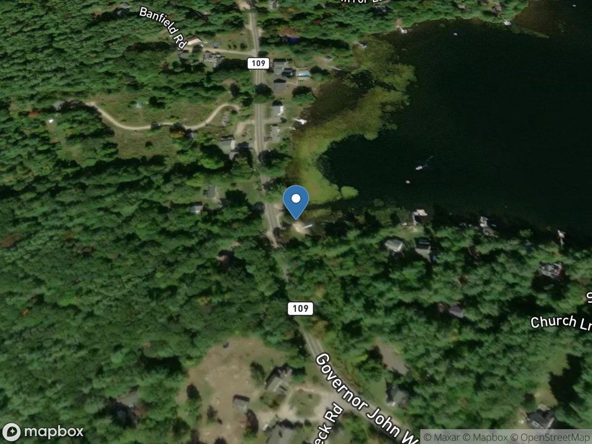
Mirror Lake
Access Site
Mirror Lake
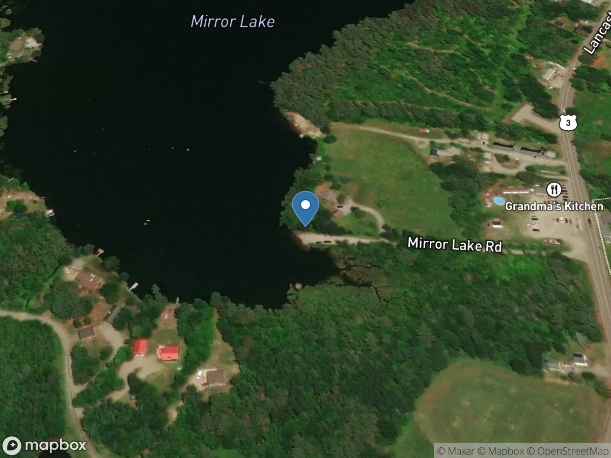
Mirror Lake
Access Site
Mirror Lake
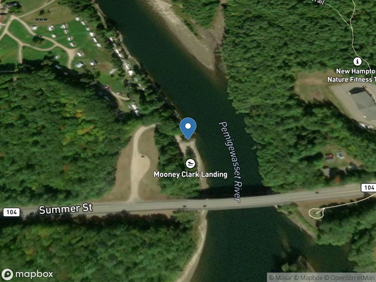
Mooney Clark Landing
Access Site
Pemigewasset River
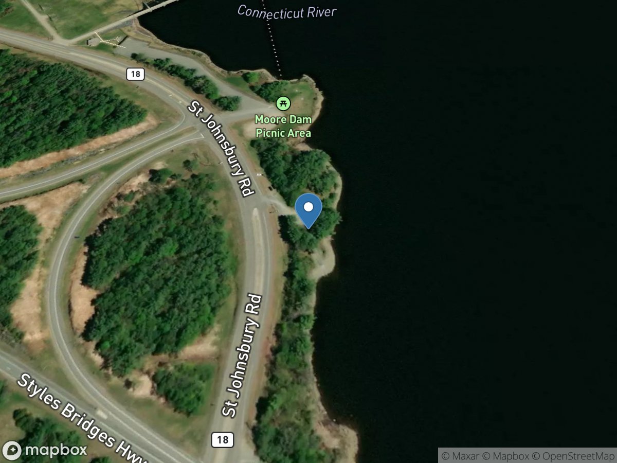
Moore Dam Visitor Center
Access Site
Connecticut River (Moore Reservoir)
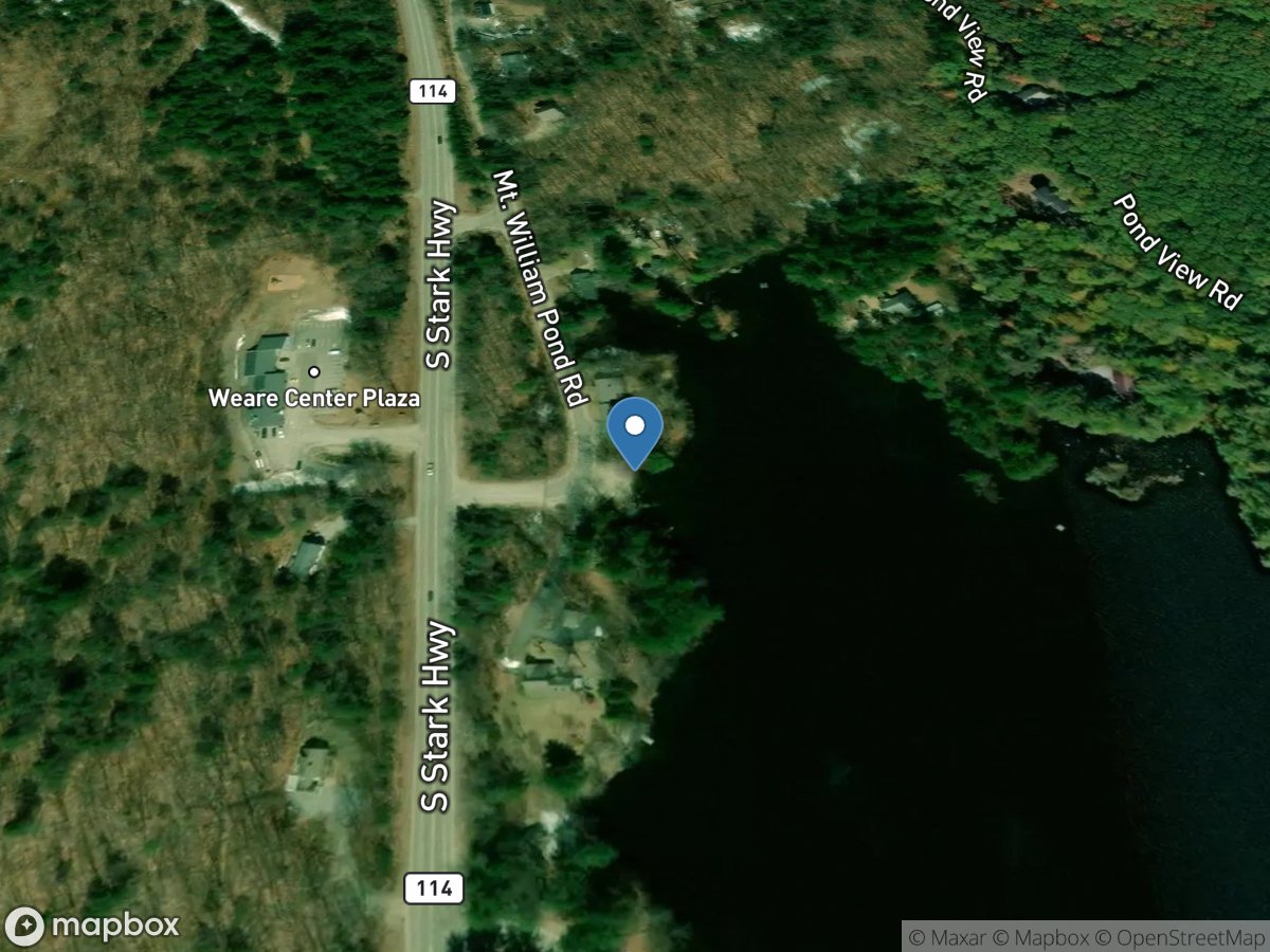
Mount William Pond
Access Site
Mount William Pond
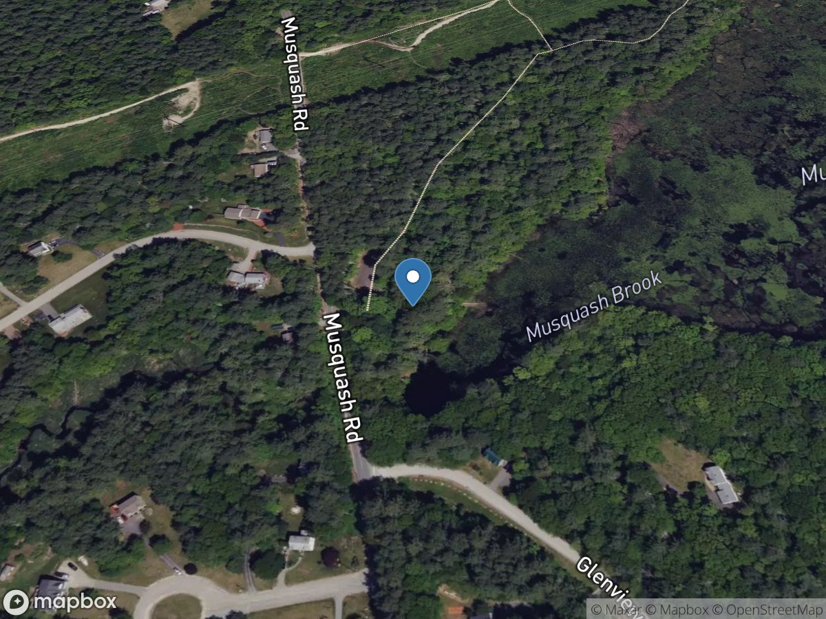
Musquash Pond Conservation Area
Access Site
Musquash Pond
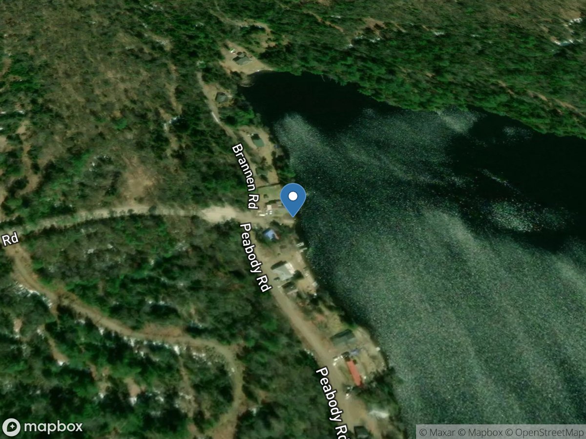
Nay Pond
Access Site
Nay Pond
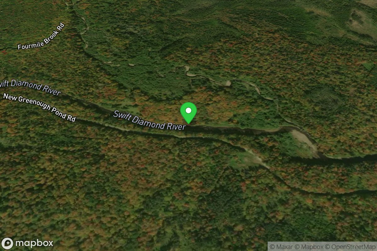
New Greenough Pond Road Put In
Access Site
Diamond River
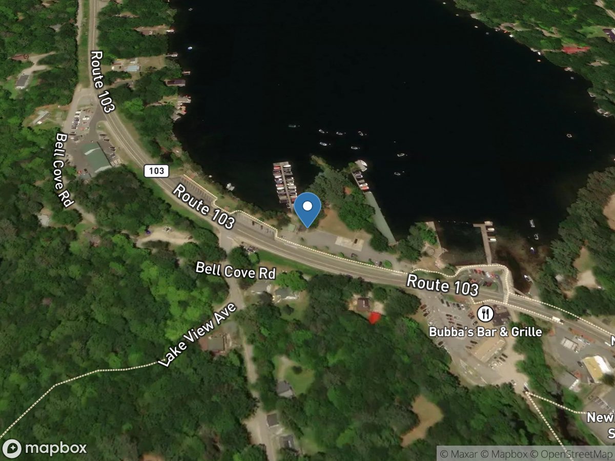
Newbury Station Marina
Access Site
Sunapee Lake
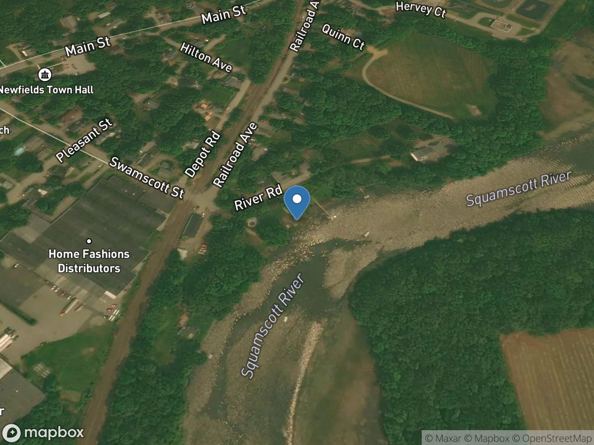
Newfields Town
Access Site
Squamscott River