Access Sites in West Virginia
Find mapped boat ramps, launches, and public water access points across the United States.
1,015
Total Sites
24
Loaded
1
Regions
Map view
Explore nearby access
Pan or zoom to load the sites in view, then open a marker for details and directions.
Interactive access map
Loads after the directory is visible.
Loading...
Navigation Tips
- Zoom in to load more sites in your area of interest
- Click on clusters (numbered circles) to zoom into that area
- Click on individual markers for site details and directions
- Use scroll wheel or pinch to zoom, drag to pan
Directory results
Loaded access sites
The list reflects the current page and can be narrowed with the search field.
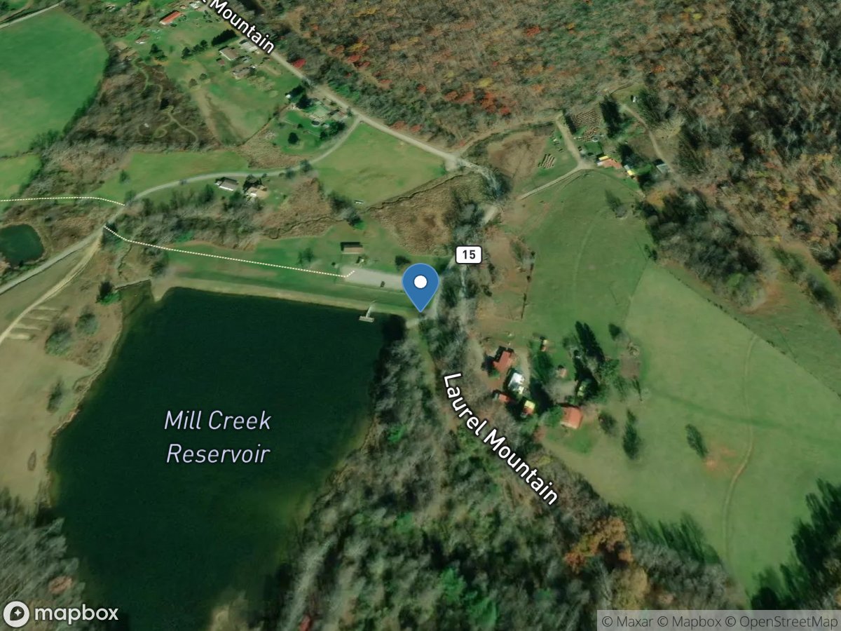
Laurel Hill
Access Site
Mill Creek Reservior
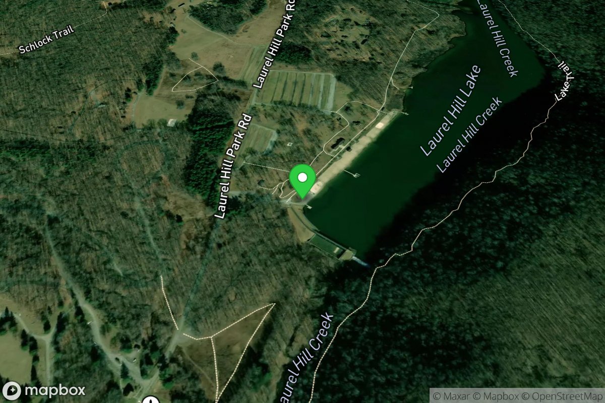
Laurel Hill Lake
Access Site
Laurel Hill Lake
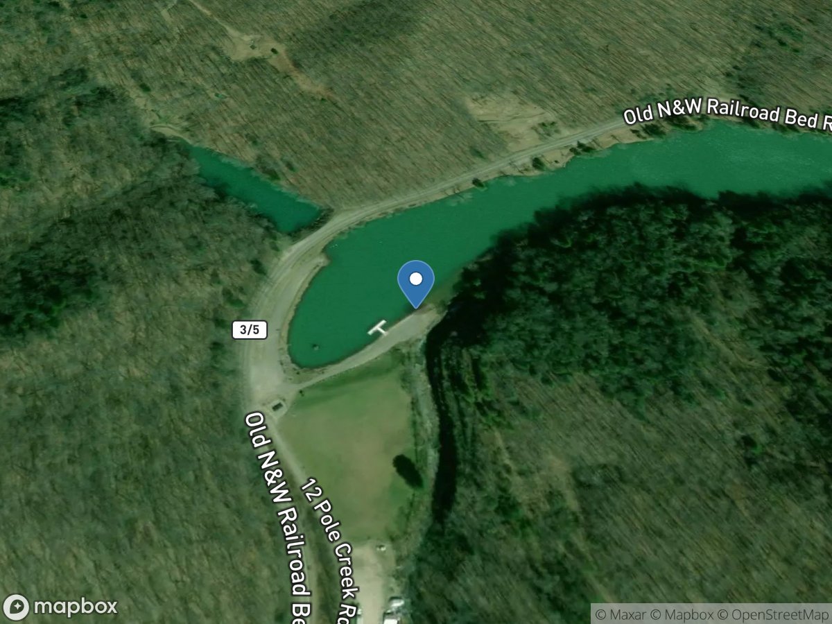
Laurel Lake Water Management Area
Access Site
Laurel Lake
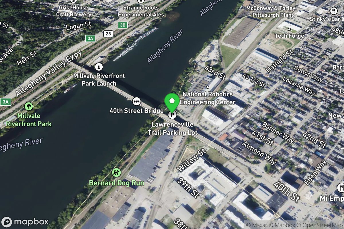
Lawrenceville/40th Street Bridge
Access Site
Allegheny River
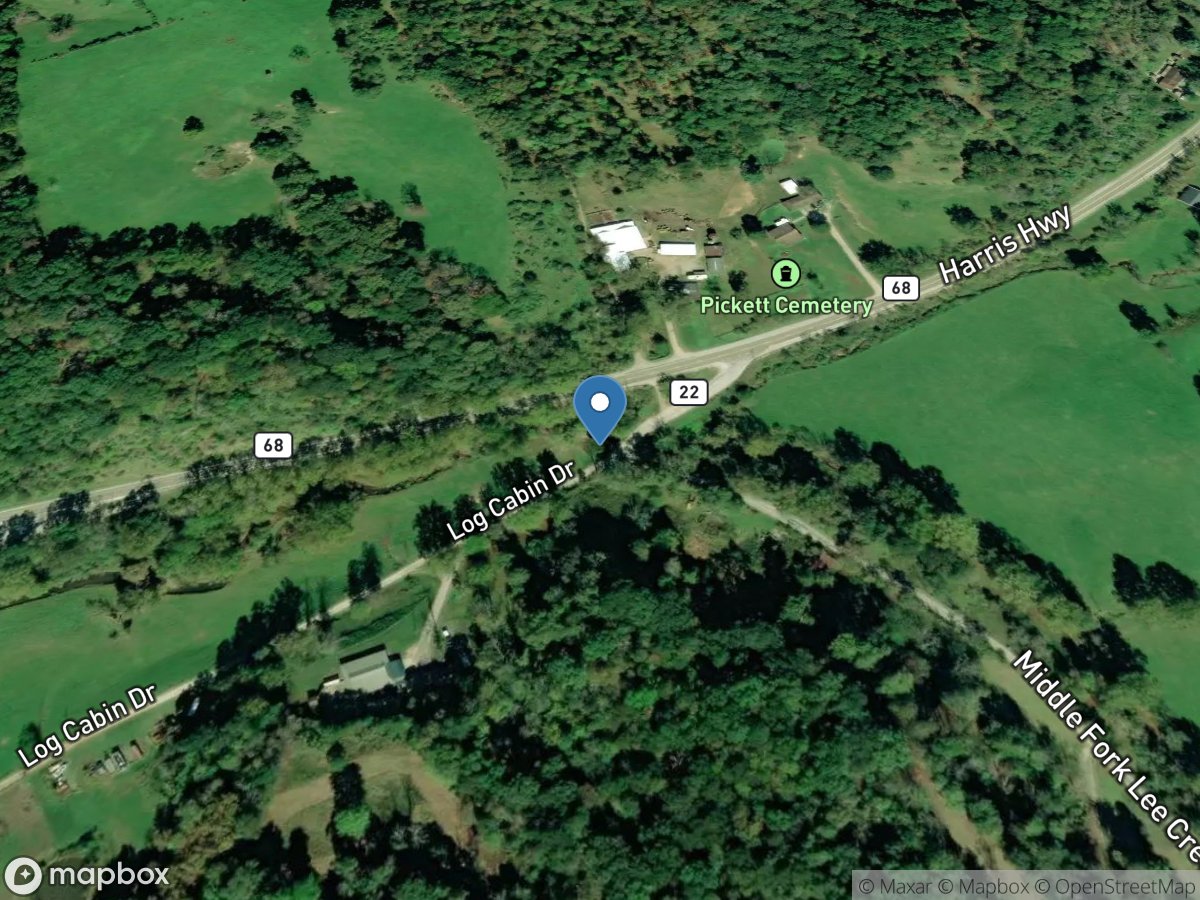
Lee Creek
Access Site
Lee Creek
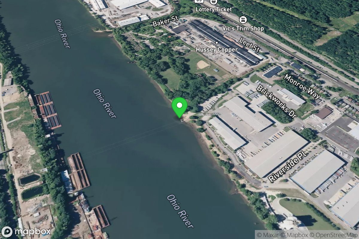
Leetsdale
Access Site
Ohio River
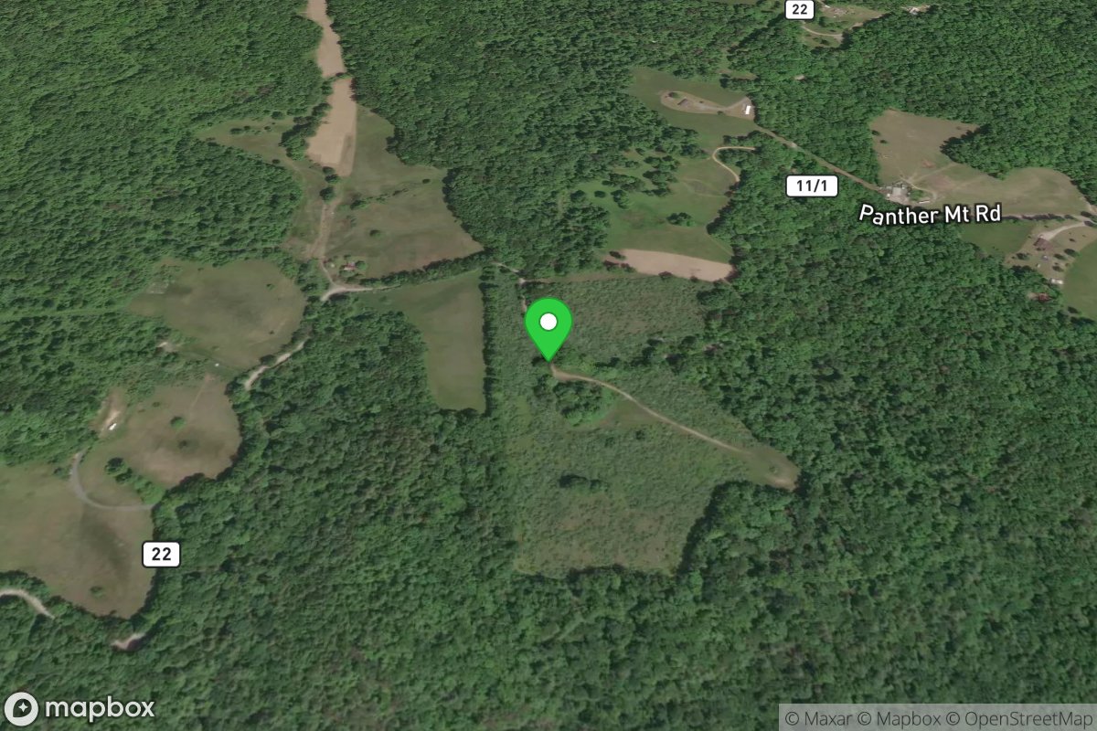
Legg Field, America Whitewater Parking
Access Site
Gauley
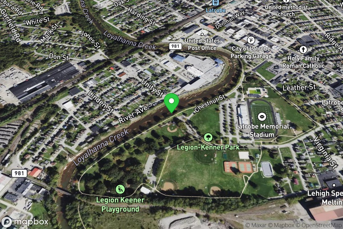
Legion-Keener Park
Access Site
Loyalhanna Creek
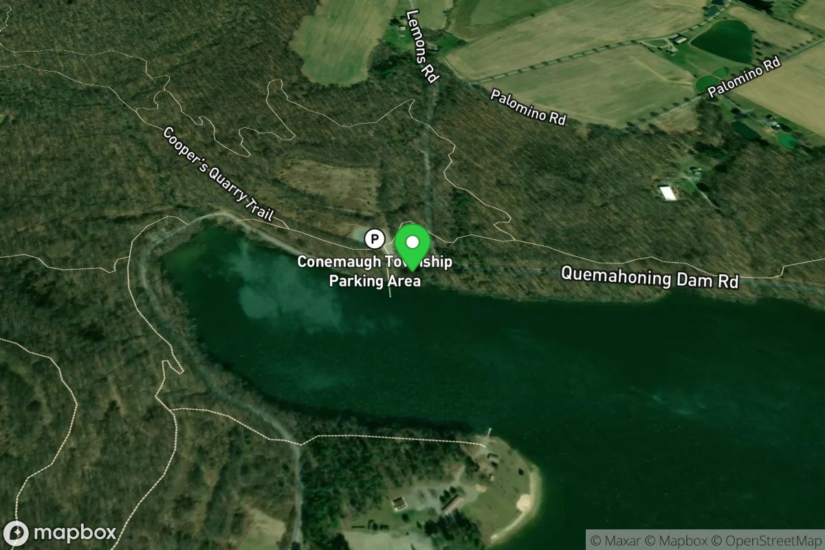
Lemon Road
Access Site
Quemahoning Reservoir
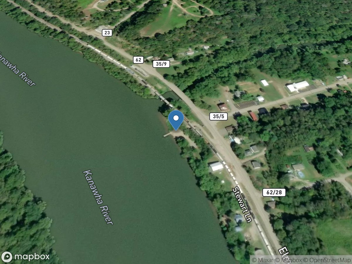
Leon
Access Site
Kanawha River
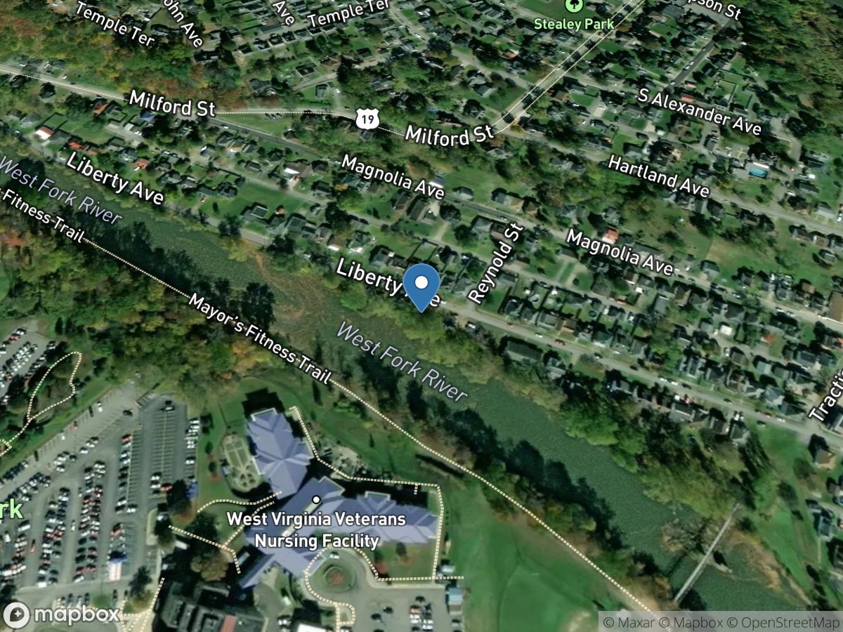
Liberty Avenue
Access Site
West Fork River
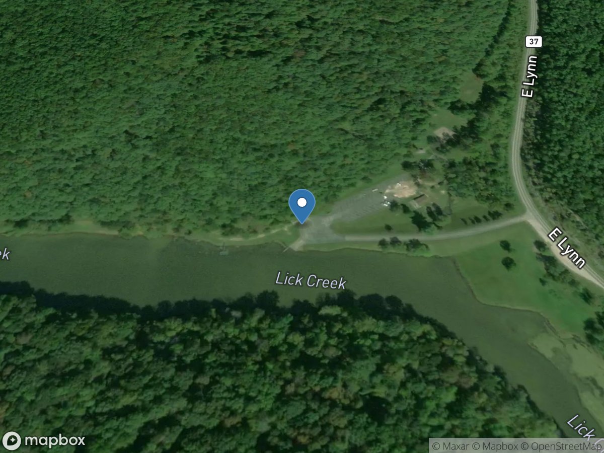
Lick Creek Ramp
Access Site
East Lynn Lake
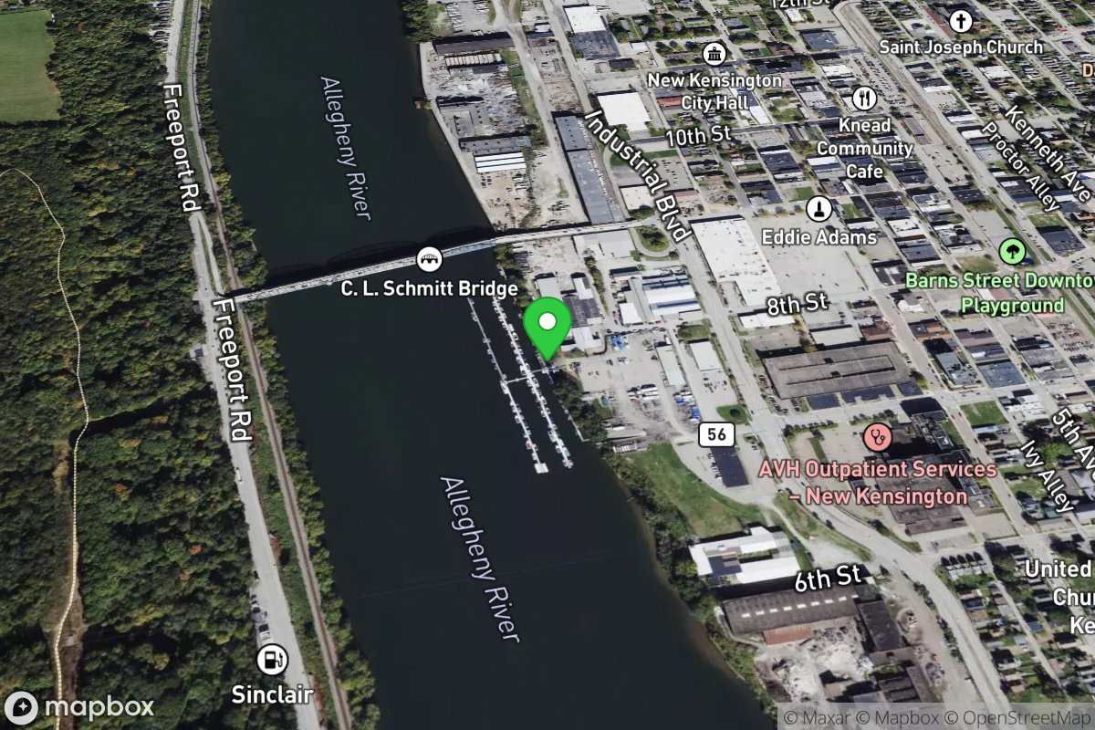
Lighthouse Marine Sales, Inc.
Access Site
Allegheny River
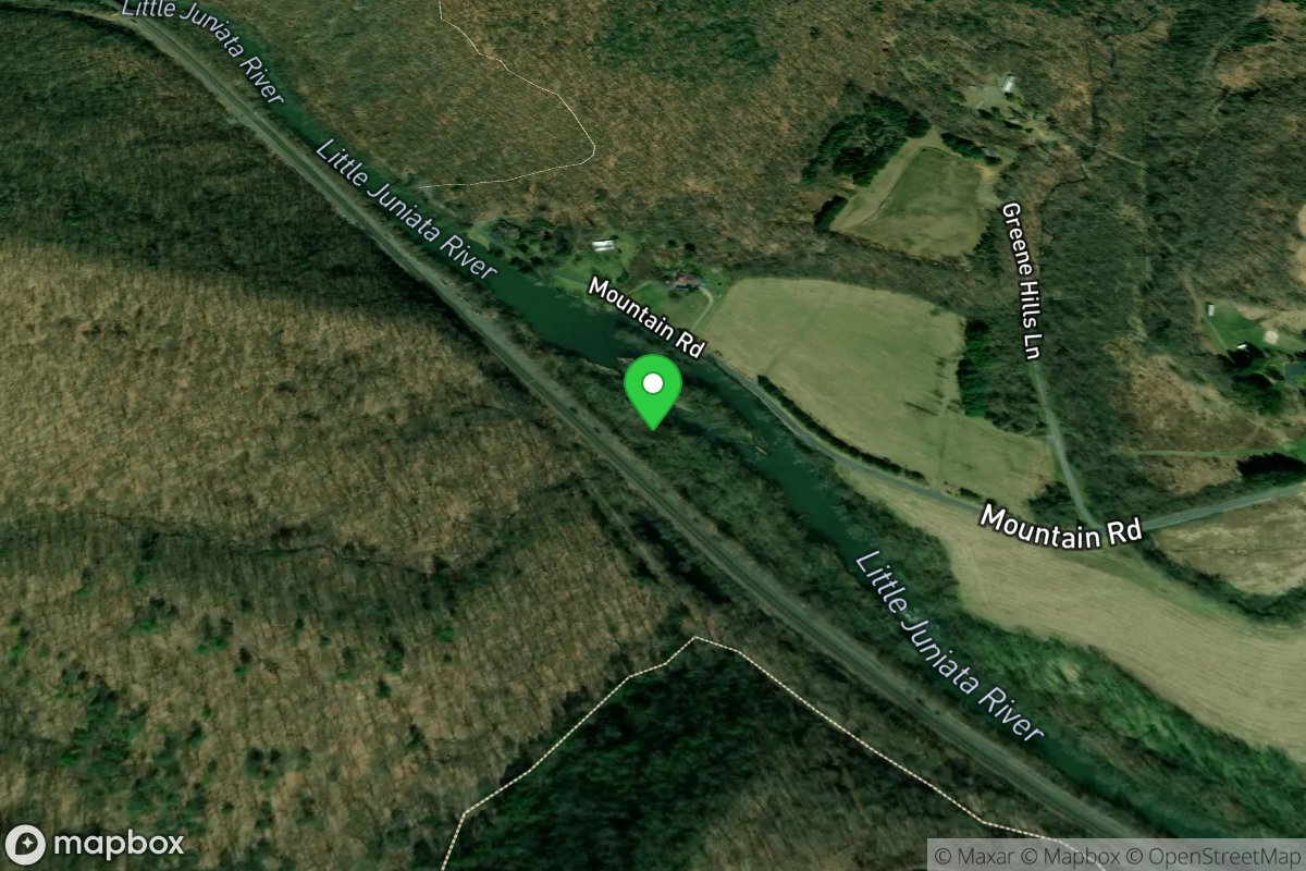
Little Juniata R. Natural Area
Access Site
Little Juniata River
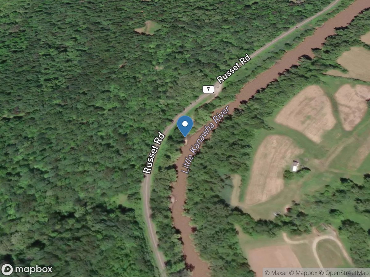
Little Kanawha River
Access Site
Little Kanawha River
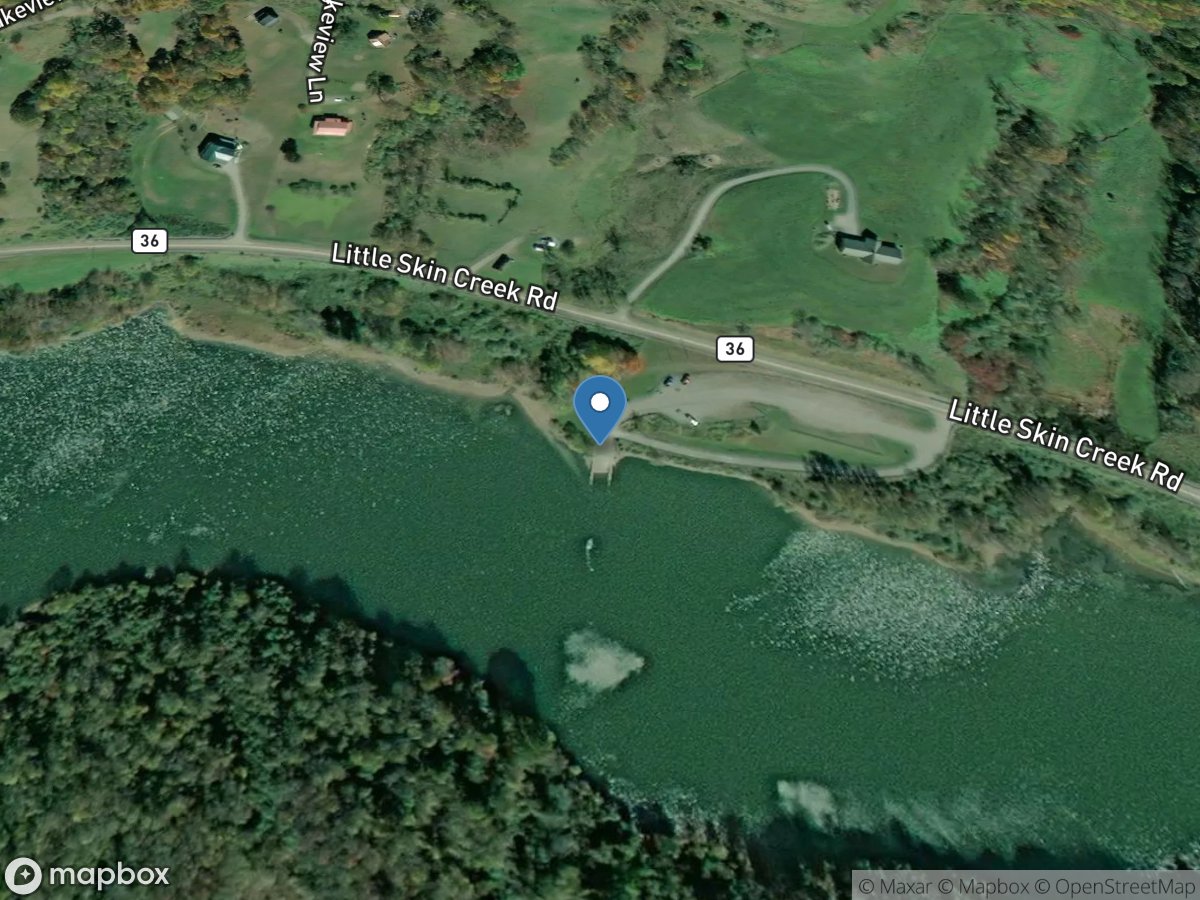
Little Skin Creek
Access Site
Little Skin Creek
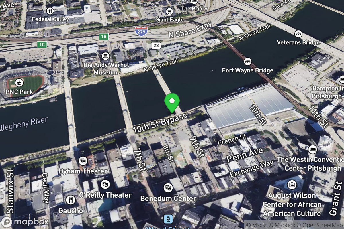
Lock Wall One
Access Site
Allegheny River
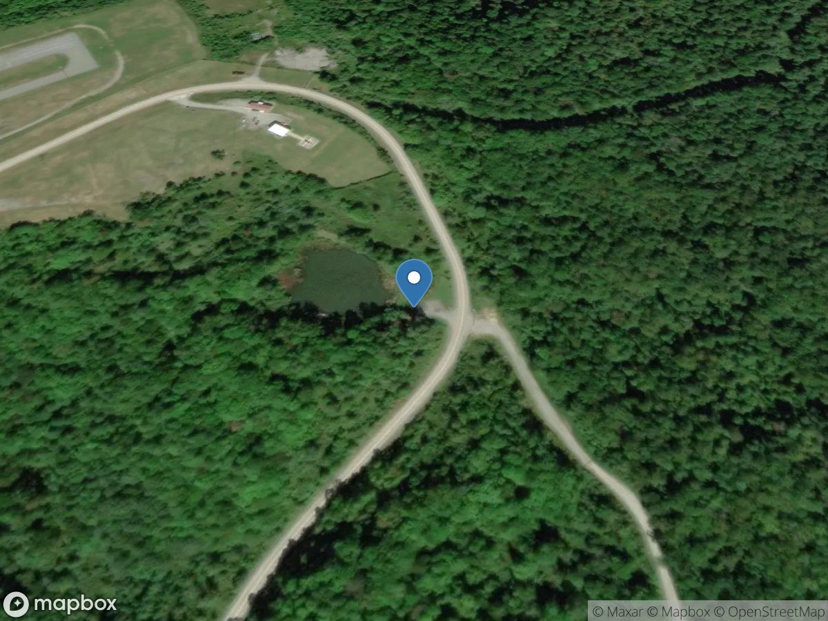
Logan County Airport Pond
Access Site
Unnamed Creek
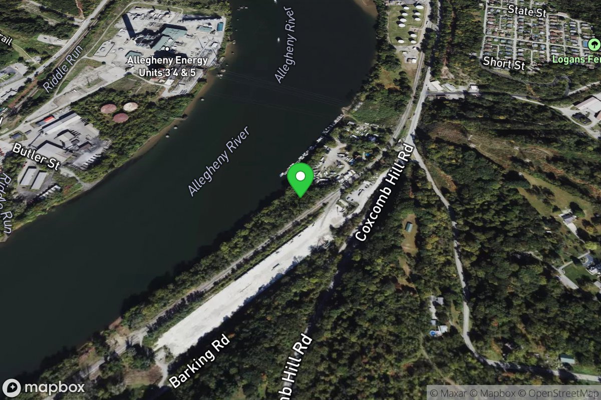
Logan's Ferry Marina
Access Site
Allegheny River
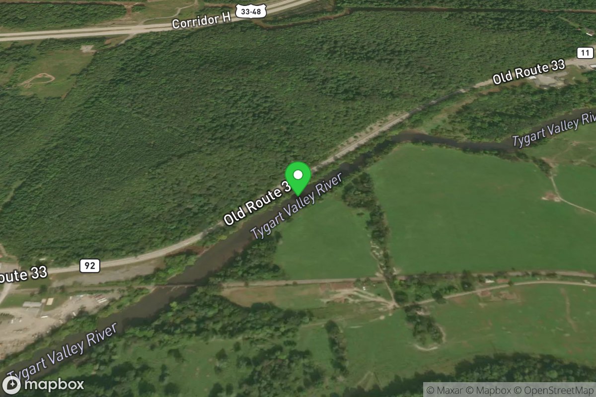
Long Put In - Aggregates
Access Site
Tygart Valley
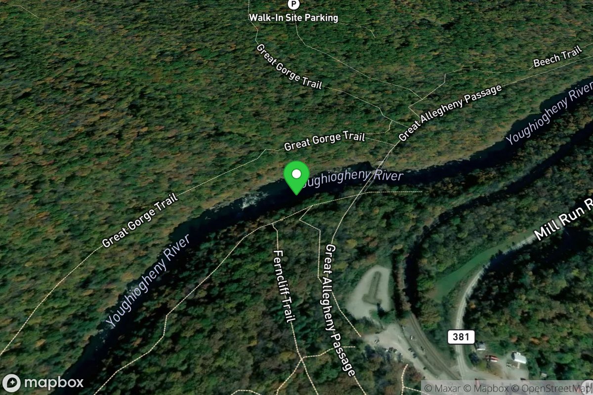
Loop Take-Out
Access Site
Youghiogheny River
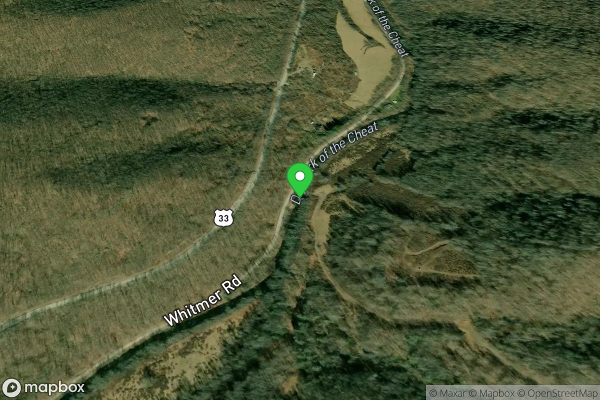
Low Water Crossing - Short Put-in
Access Site
Cheat, Dry Fork
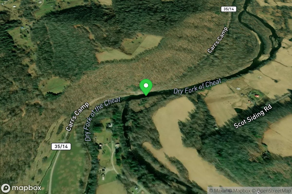
Low Water Put-in - Red Creek Confluence
Access Site
Cheat, Dry Fork
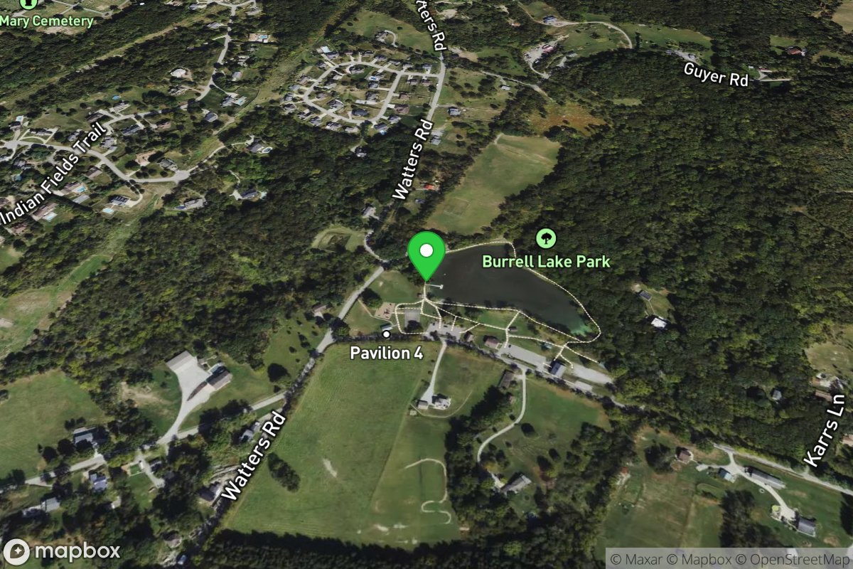
Lower Burrell Park Pond
Access Site
Lower Burrell Park Pond