Access Sites in Wisconsin
Find mapped boat ramps, launches, and public water access points across the United States.
3,358
Total Sites
24
Loaded
1
Regions
Map view
Explore nearby access
Pan or zoom to load the sites in view, then open a marker for details and directions.
Interactive access map
Loads after the directory is visible.
Loading...
Navigation Tips
- Zoom in to load more sites in your area of interest
- Click on clusters (numbered circles) to zoom into that area
- Click on individual markers for site details and directions
- Use scroll wheel or pinch to zoom, drag to pan
Directory results
Loaded access sites
The list reflects the current page and can be narrowed with the search field.
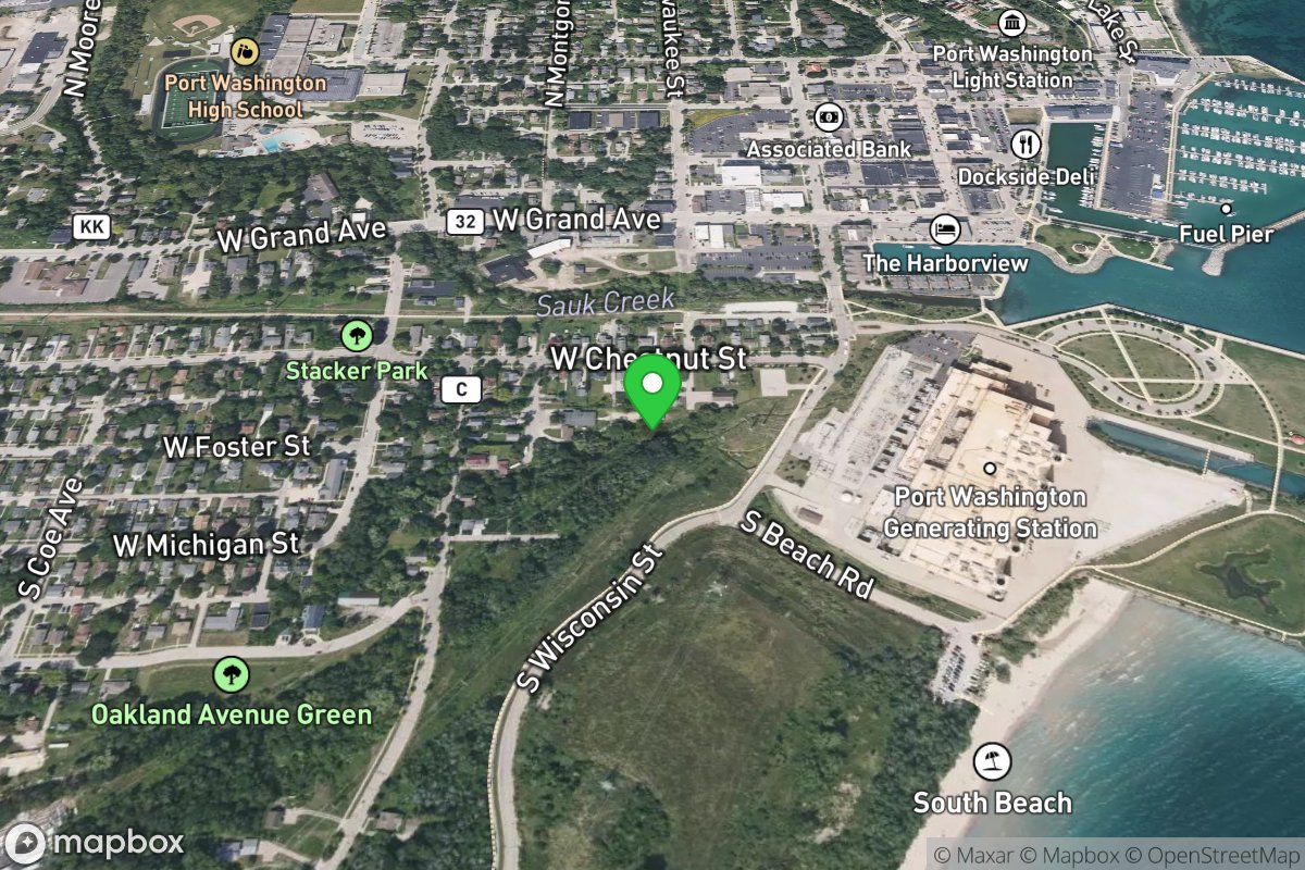
Take Out: Milwaukee Avenue
Access Site
Mineral Springs Creek
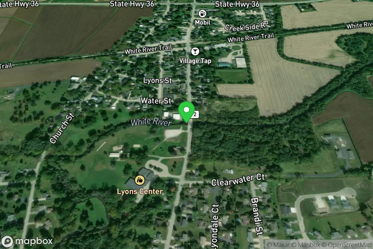
Take Out: Riverview Park
Access Site
White (Fox/Illinois trib.)
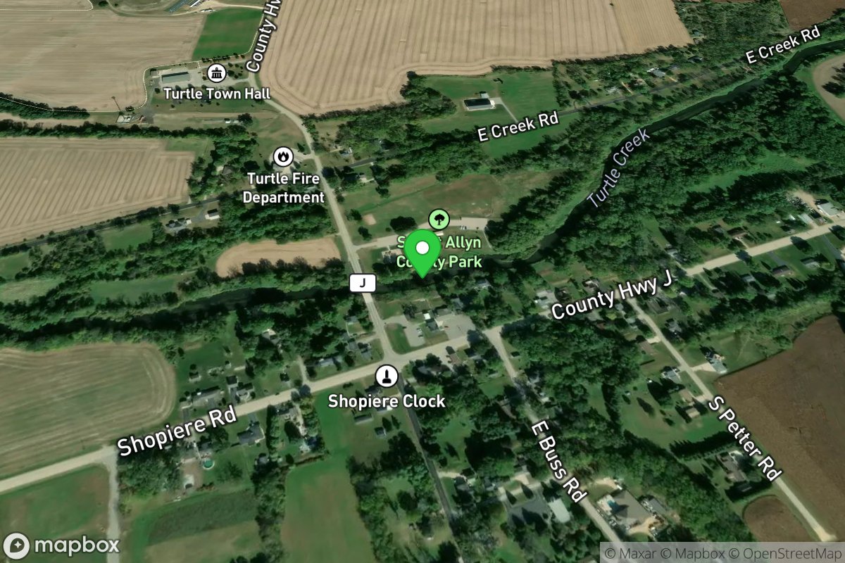
Take Out: Sweet-Allyn Park
Access Site
Turtle Creek
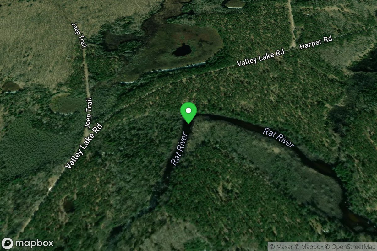
Take Out: Valley Lake Road / FR2141
Access Site
Rat
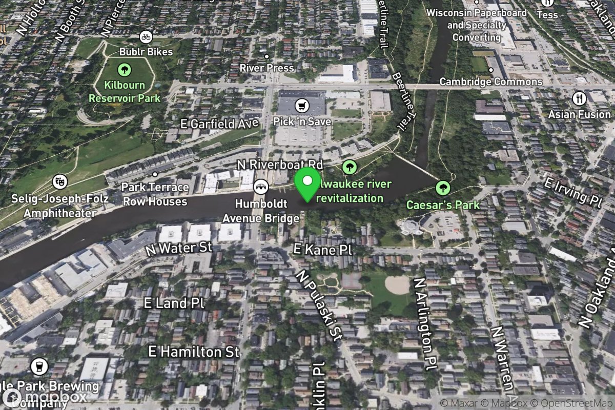
Take-out
Access Site
Milwaukee
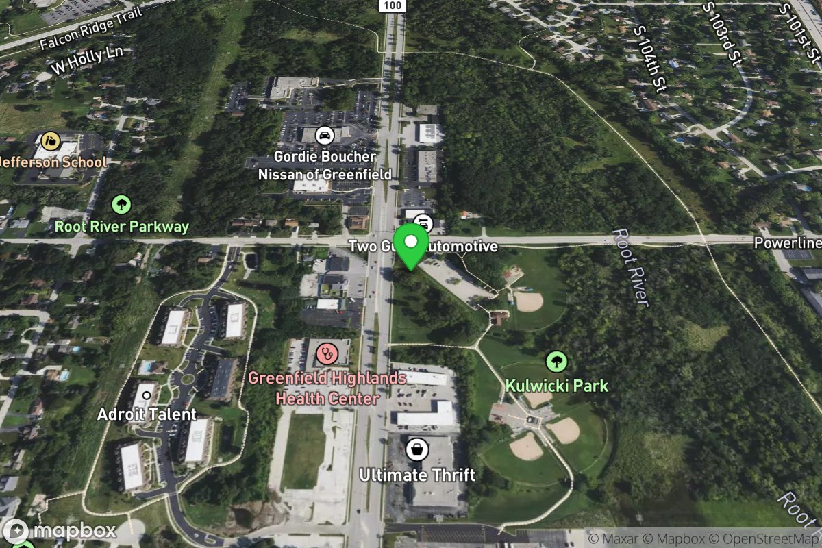
Take-out
Access Site
Wildcat Creek
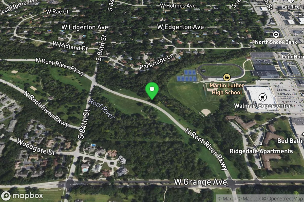
Take-out
Access Site
Southridge Ditch
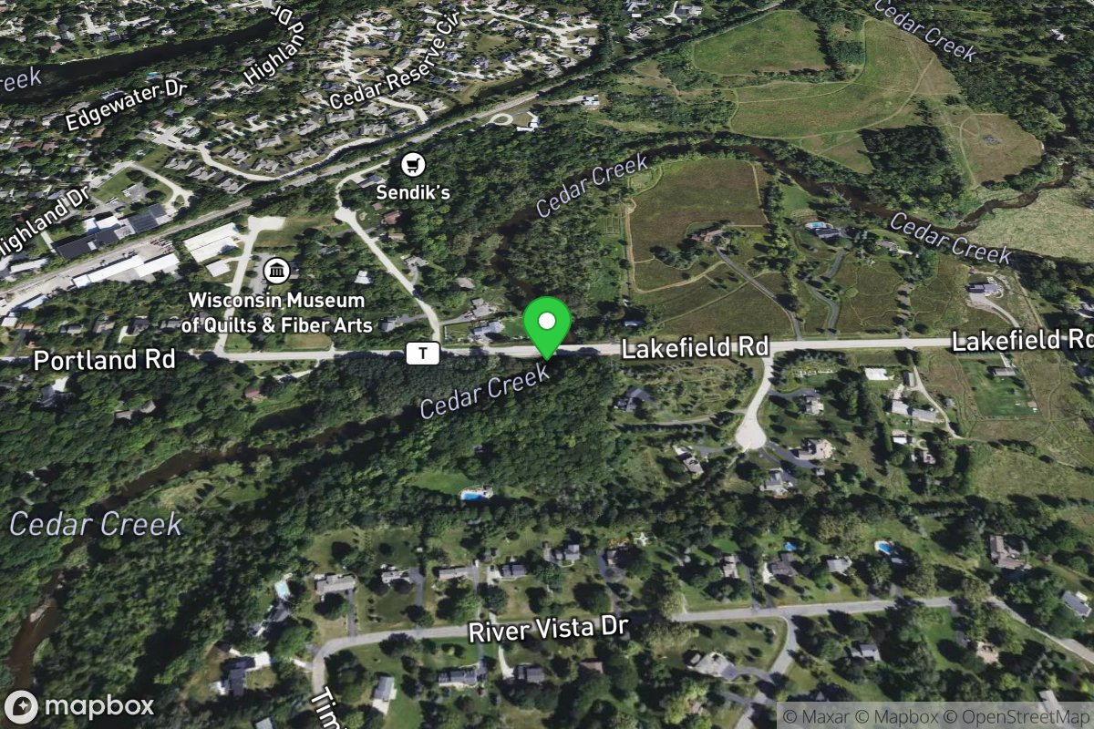
Take-out (CTH.T/Lakefield Road)
Access Site
Cedar Creek
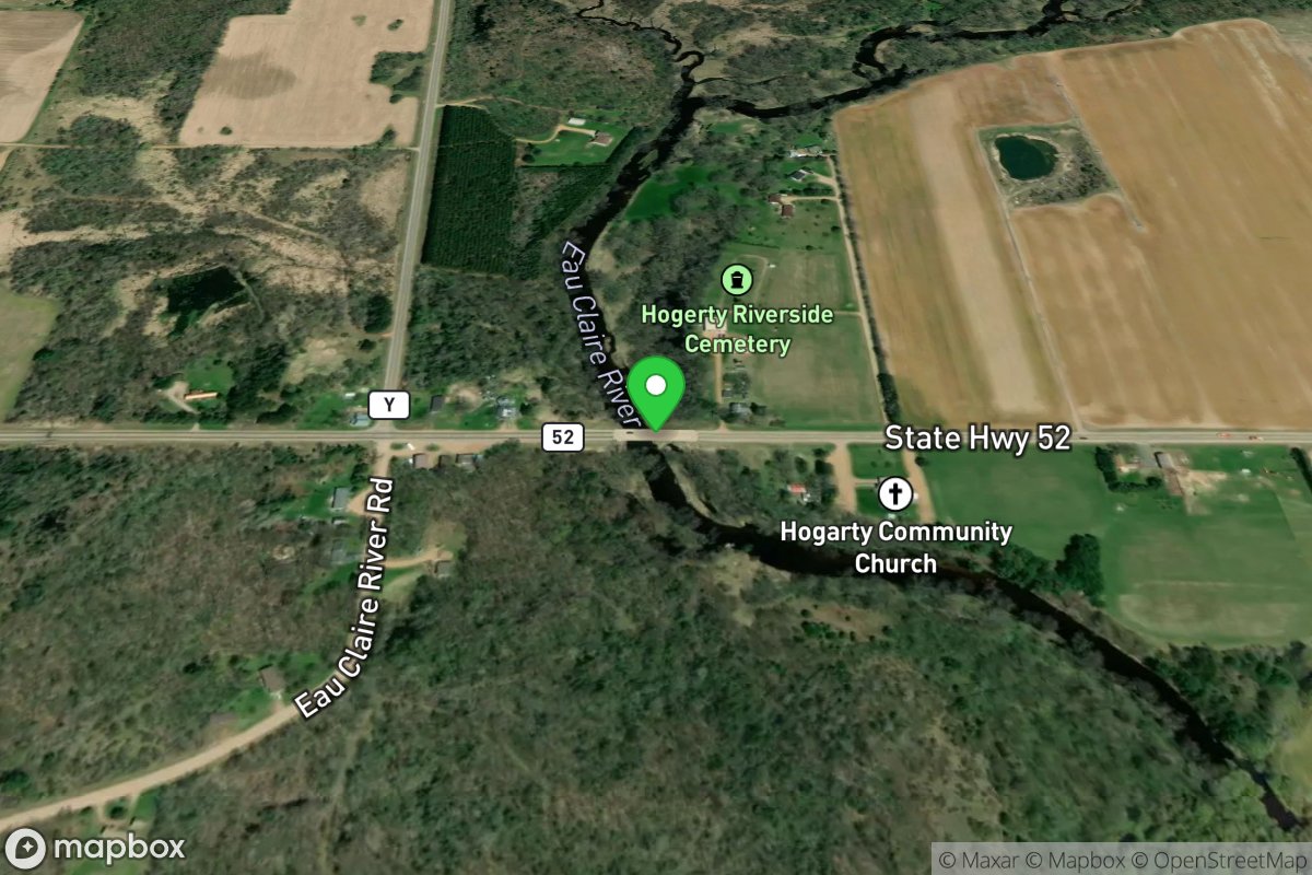
Take-out, or continuing downstream ...
Access Site
Eau Claire (Wisconsin R. trib)
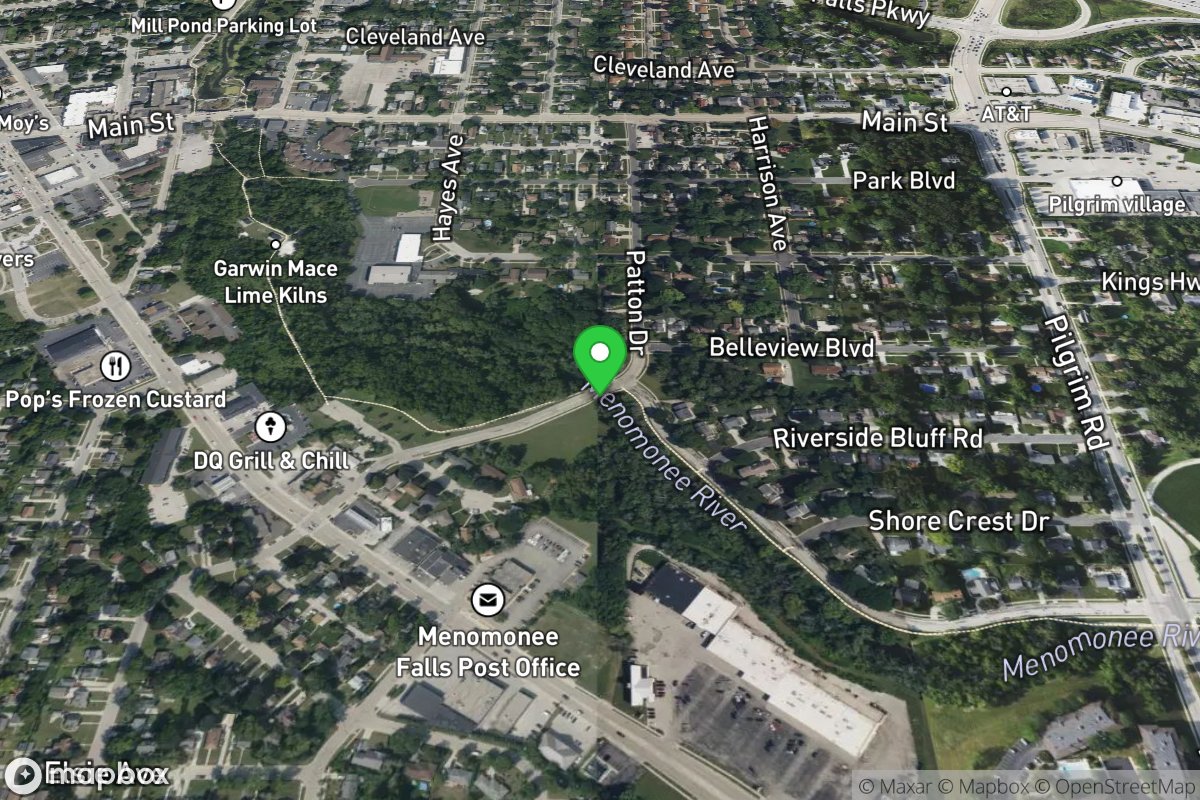
Take-out: Arthur Avenue
Access Site
Menomonee
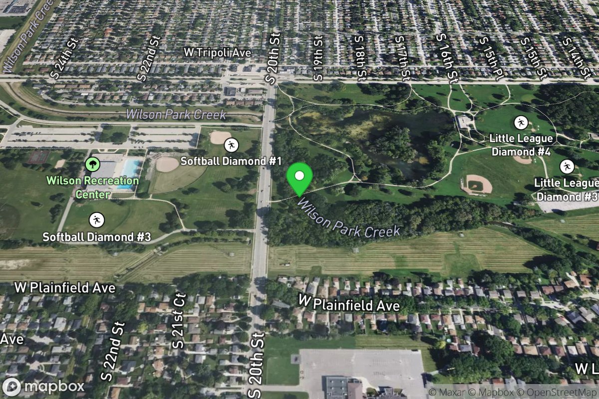
Take-out: Pedestrian Bridge
Access Site
Villa Mann Creek
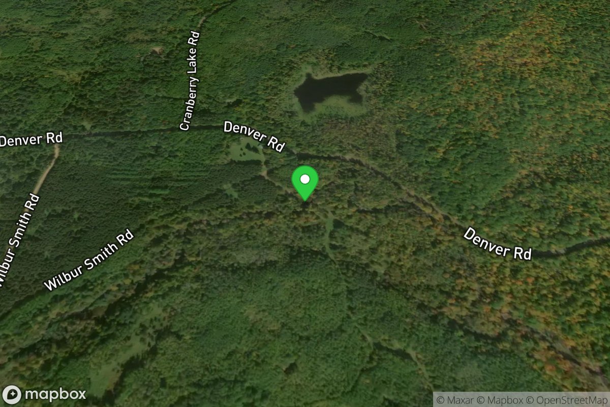
Take-out: stub off of Wilbur Smith Road
Access Site
Ounce
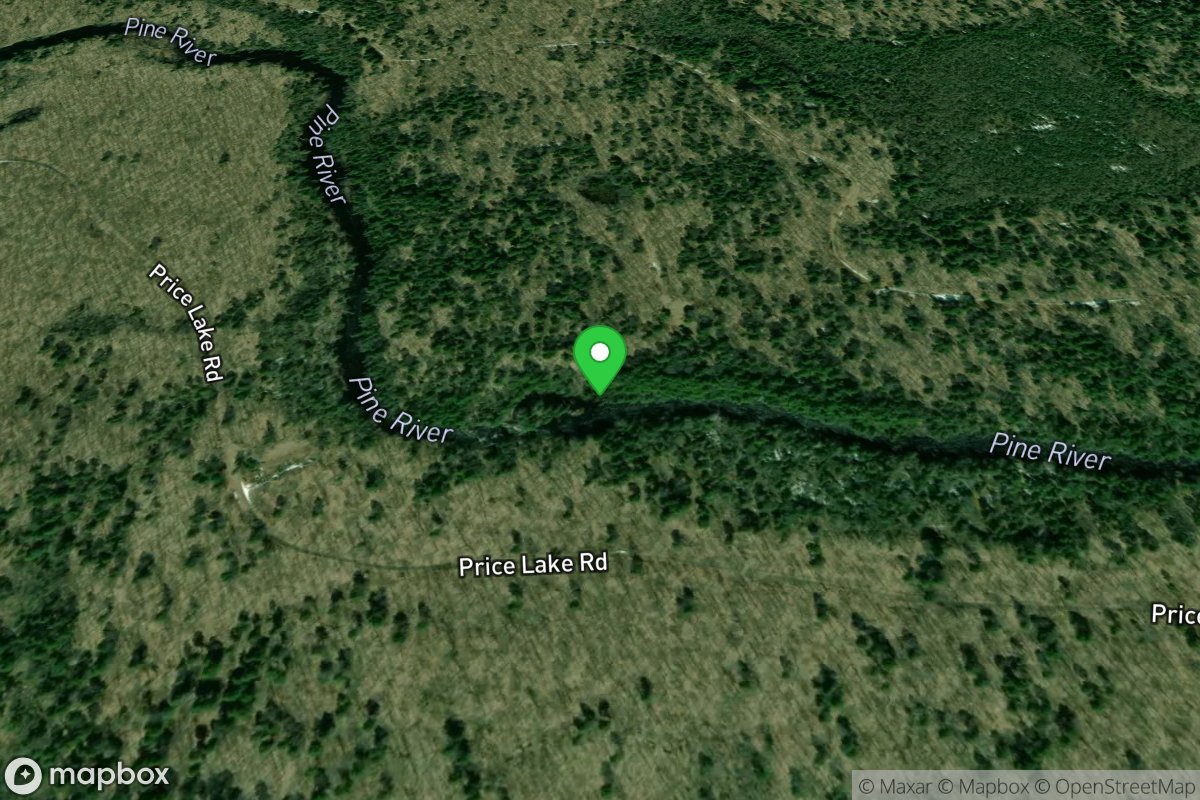
Takeout at Bull Falls and Other Takeout Options
Access Site
Pine
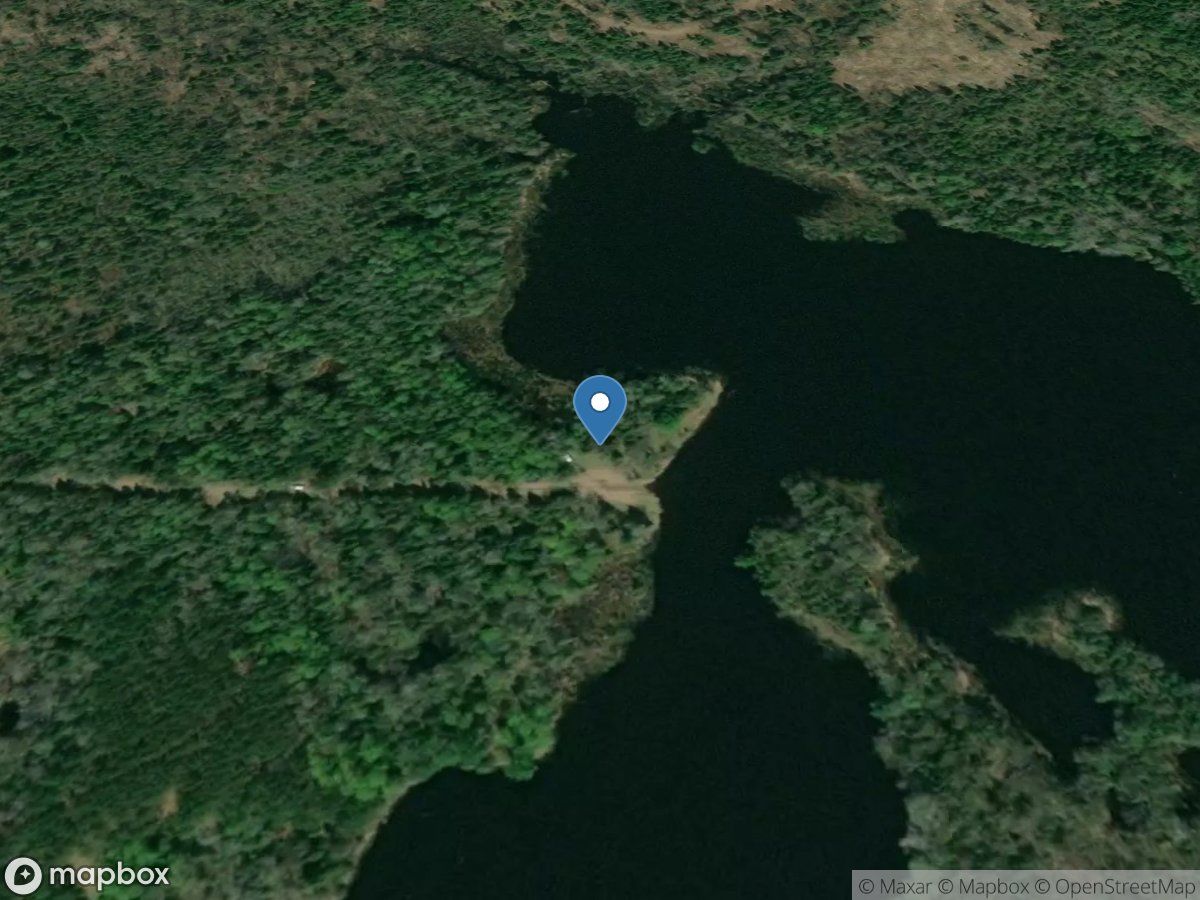
Talbots
Access Site
Willow River
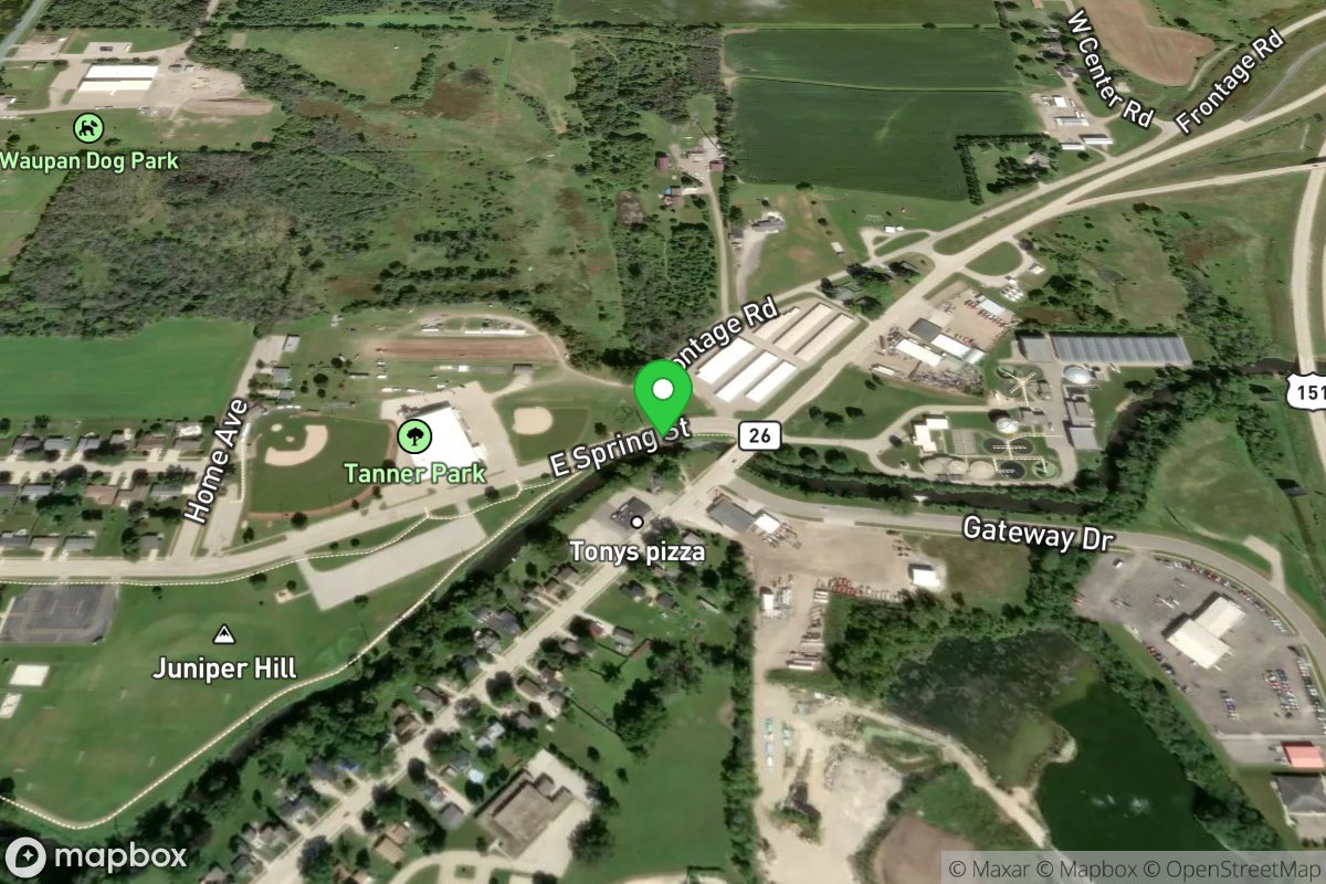
Tanner Park
Access Site
Rock River
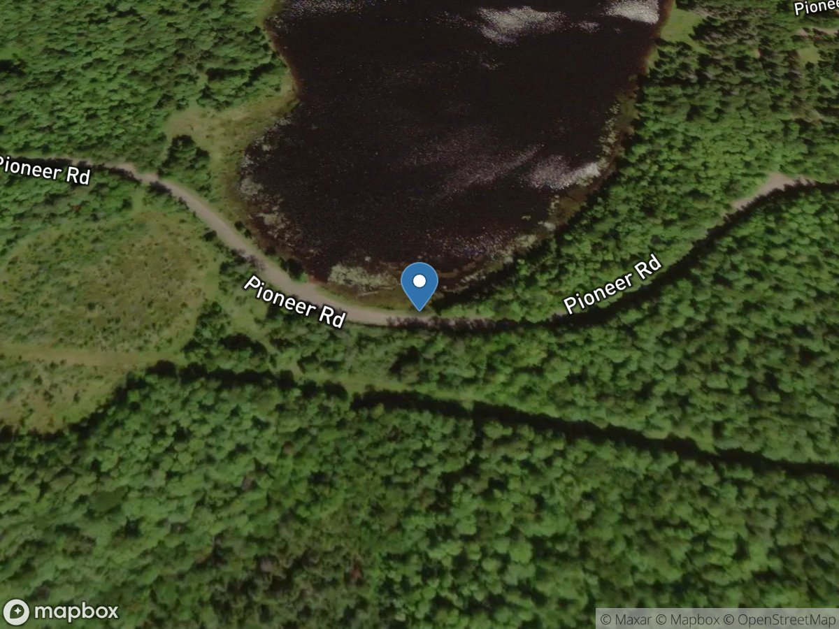
Taylor Lake
Access Site
Taylor Lake
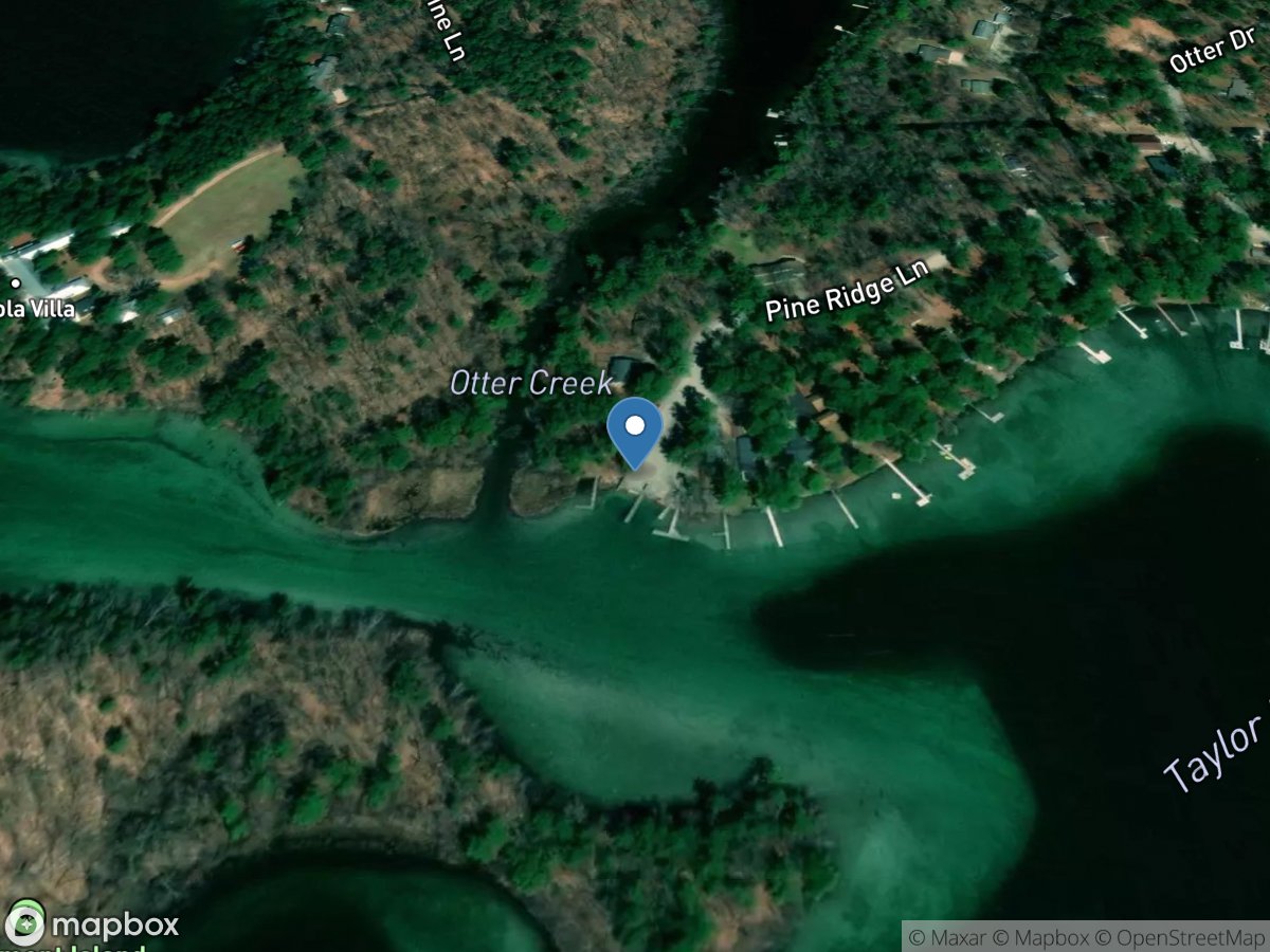
Taylor Lake
Access Site
Taylor Lake
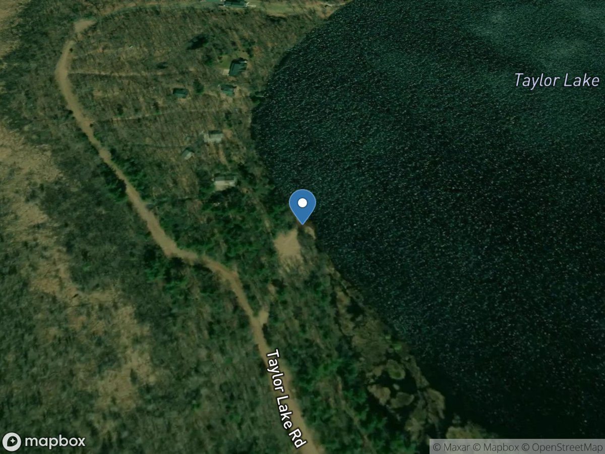
Taylor Lake
Access Site
Taylor Lake
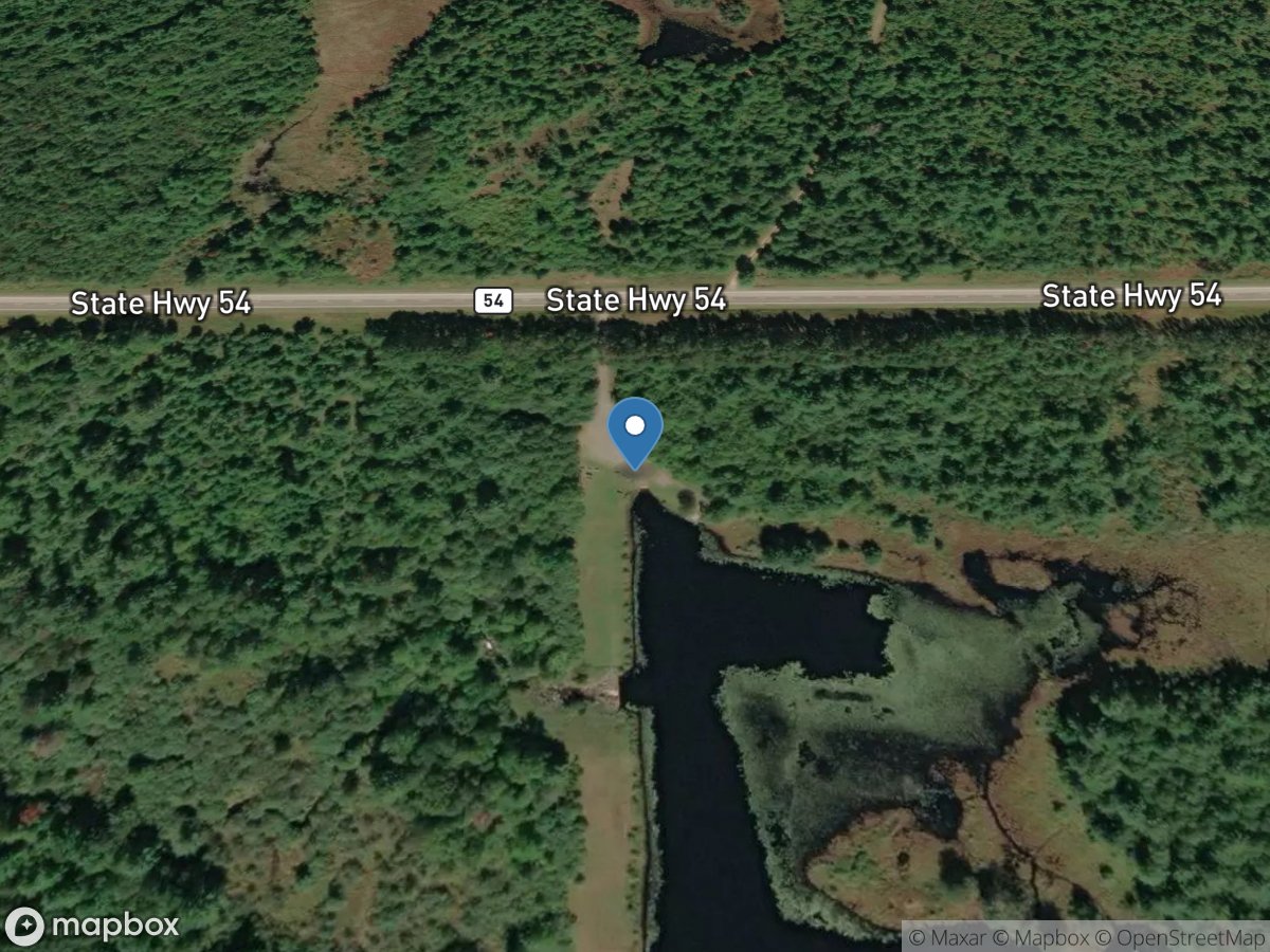
Teal Flowage
Access Site
Teal Flowage
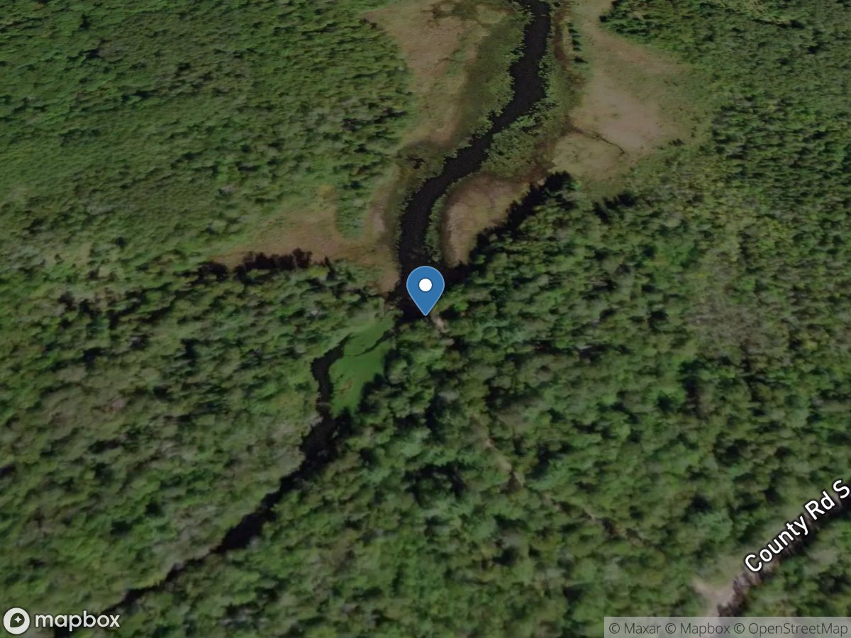
Teal River Flowage
Access Site
Teal River Flowage
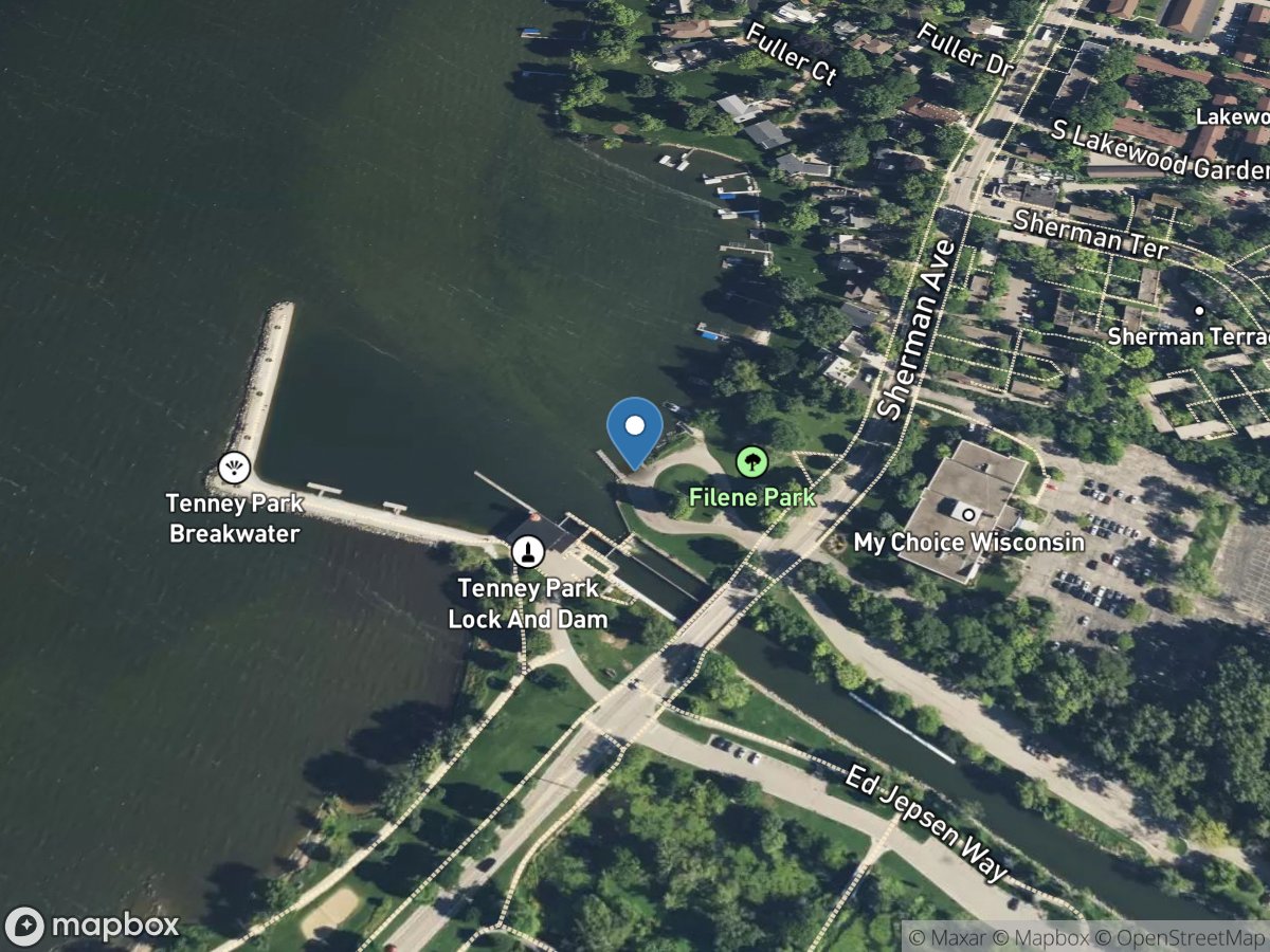
Tenney Park Boat Ramp
Access Site
Lake Mendota
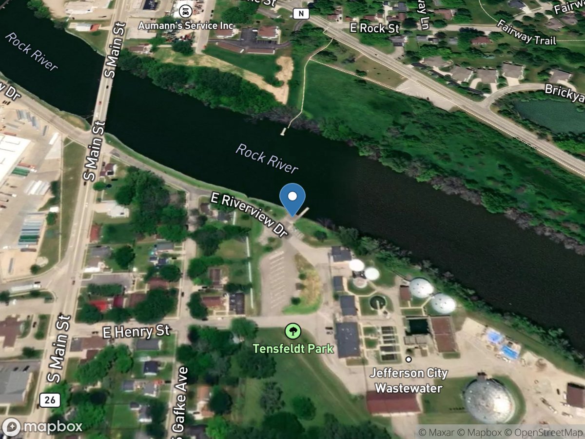
Tensfeldt Park
Access Site
Rock River
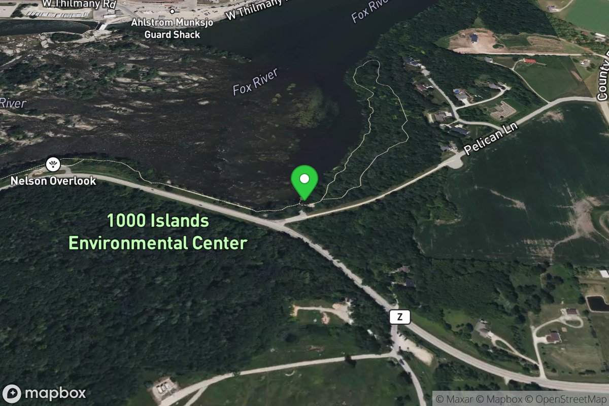
The Landing
Access Site
Fox
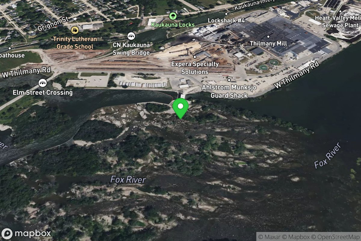
The Paddle Out
Access Site
Fox