Access Sites in North Carolina
Find mapped boat ramps, launches, and public water access points across the United States.
837
Total Sites
24
Loaded
1
Regions
Map view
Explore nearby access
Pan or zoom to load the sites in view, then open a marker for details and directions.
Interactive access map
Loads after the directory is visible.
Loading...
Navigation Tips
- Zoom in to load more sites in your area of interest
- Click on clusters (numbered circles) to zoom into that area
- Click on individual markers for site details and directions
- Use scroll wheel or pinch to zoom, drag to pan
Directory results
Loaded access sites
The list reflects the current page and can be narrowed with the search field.
S-Turn
Access Site
Nantahala
Safe Harbor Peninsula Yacht Club
Access Site
Catawba River
Salmons Landing
Access Site
Roanoke River (Lake Gaston)
Salvo Market Marina & Campground
Access Site
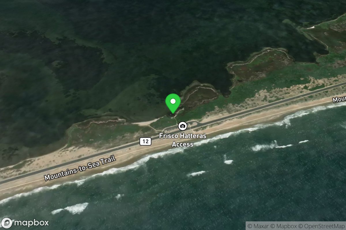
Sandy Bay
Access Site
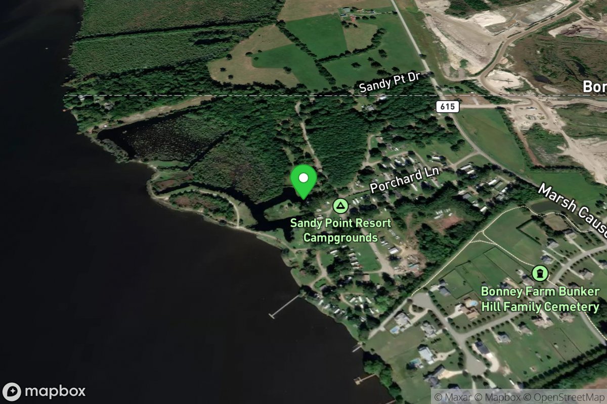
Sandy Point Resort Campground
Access Site
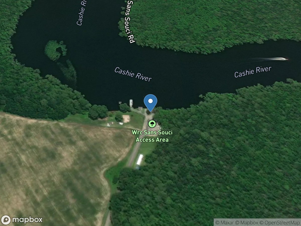
Sans Souci Ferry - Cashie River Access
Access Site
Cashie River
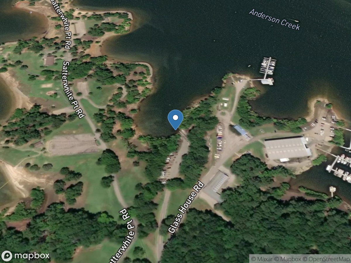
Satterwhite Boat Ramp at Kerr Lake
Access Site
Roanoke River (John H. Kerr Reservoir)
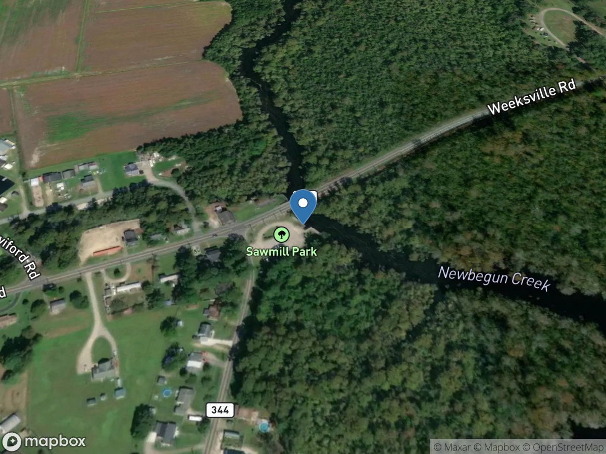
Sawmill Park
Access Site
Pasquotank River (Newbegun Creek)
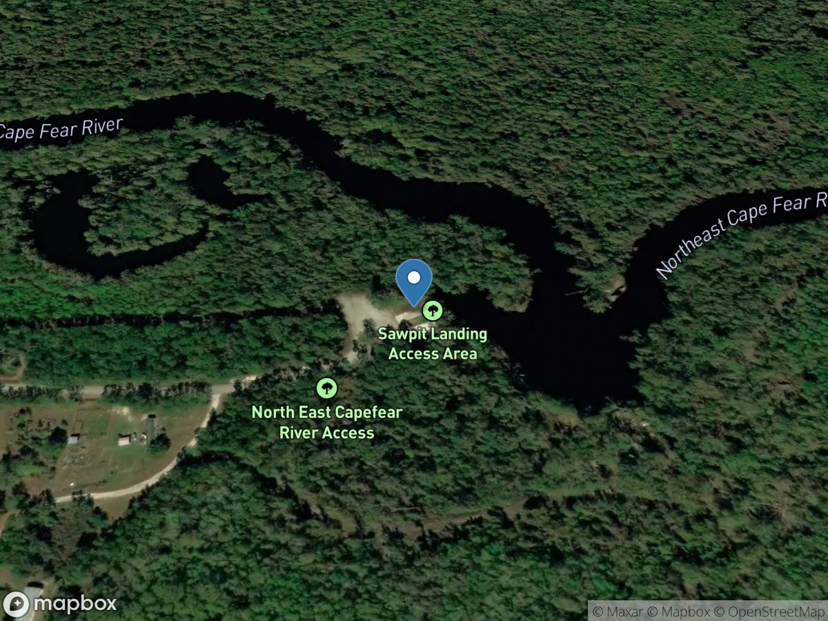
Sawpit Landing
Access Site
Northeast Cape Fear River
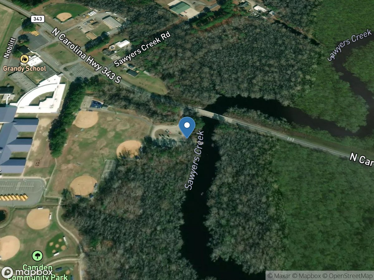
Sawyers Creek
Access Site
Sawyer'S Creek
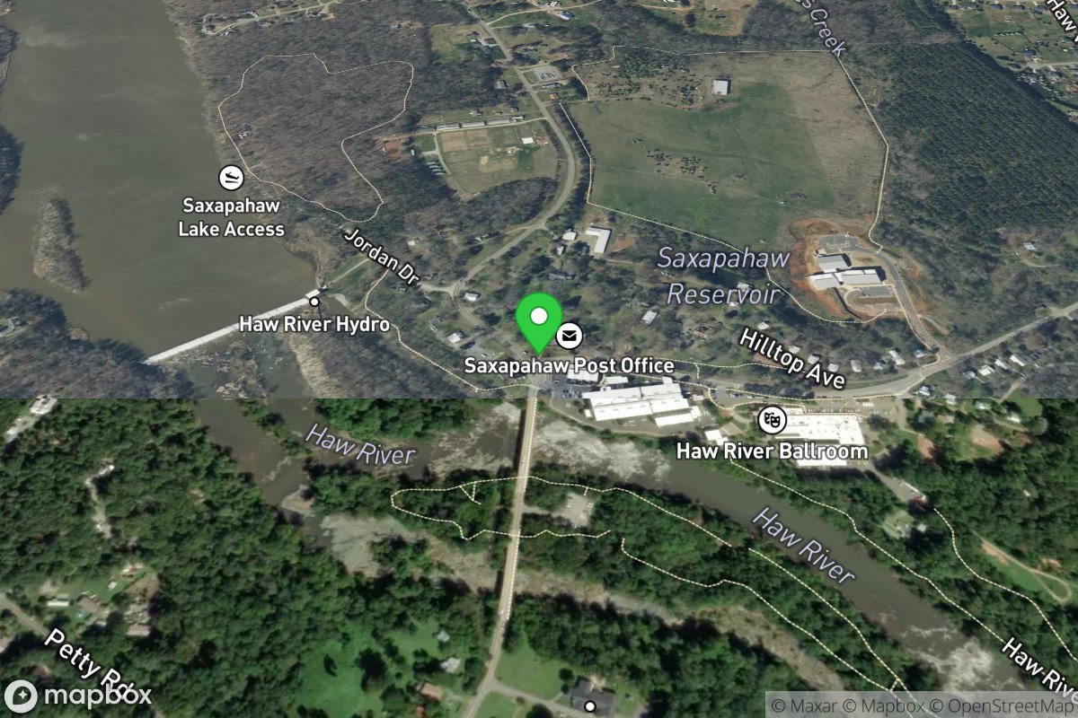
Saxapahaw Mill Race Access
Access Site
Haw River
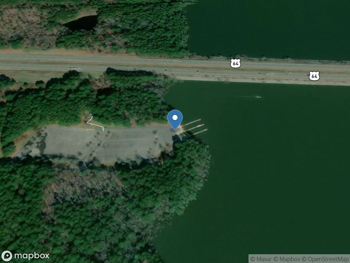
Seaforth Boat Ramp
Access Site
Haw River (Jordan River)
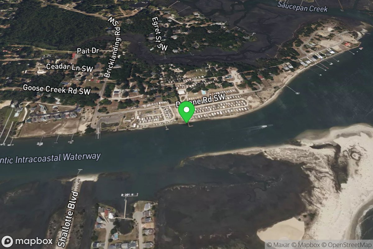
Seamist Camping Resort
Access Site
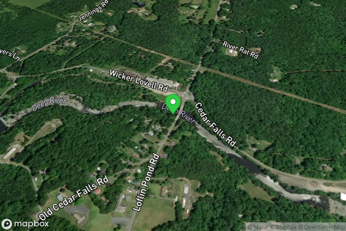
Section 1 Takeout
Access Site
Deep
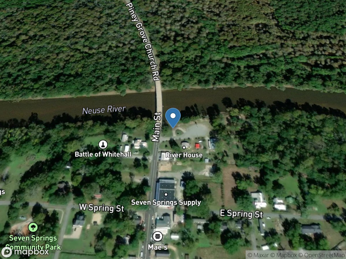
Seven Springs
Access Site
Neuse River
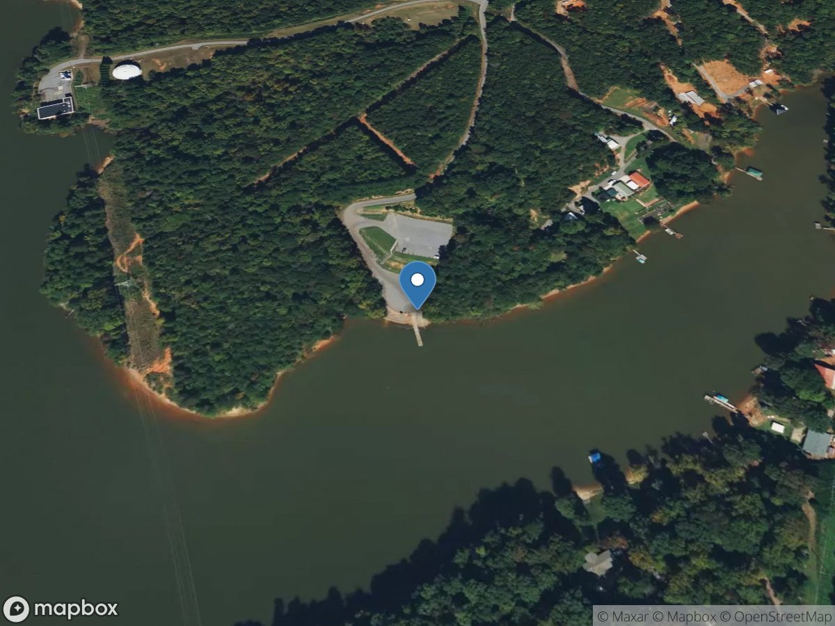
Sharon
Access Site
Catawba River
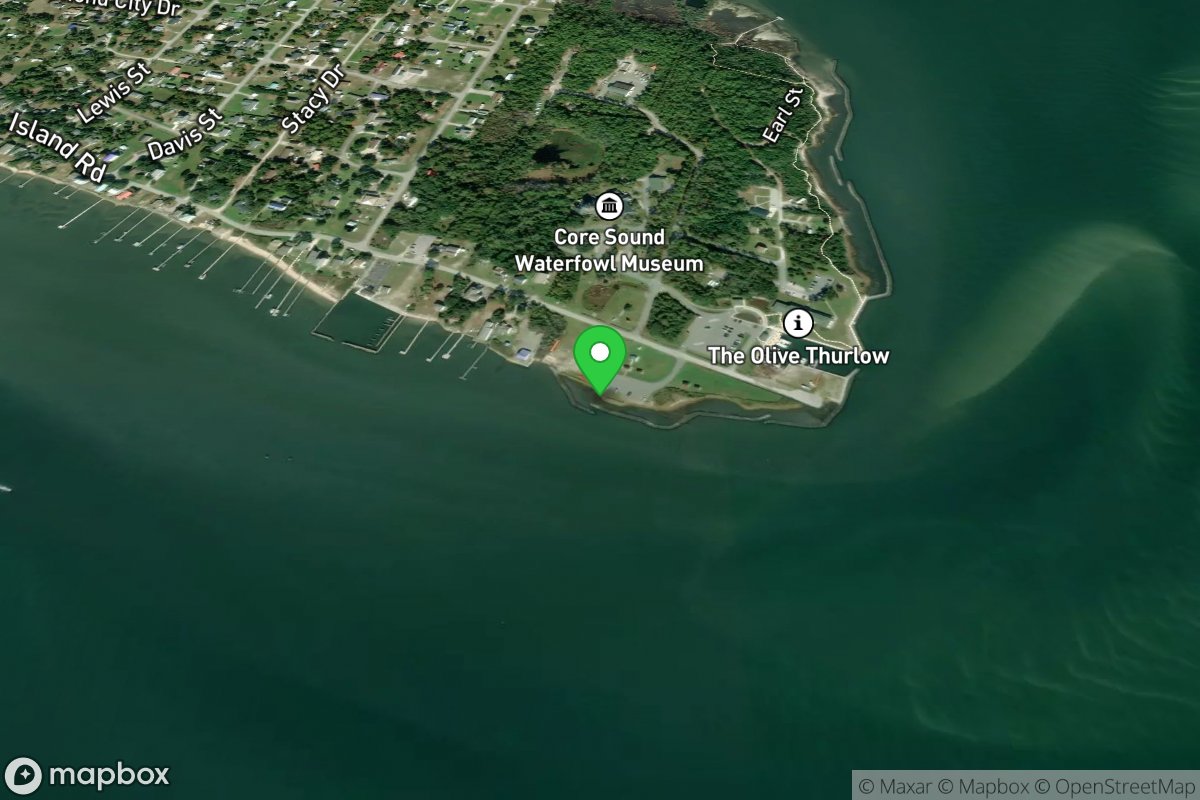
Shell Point Landing
Access Site
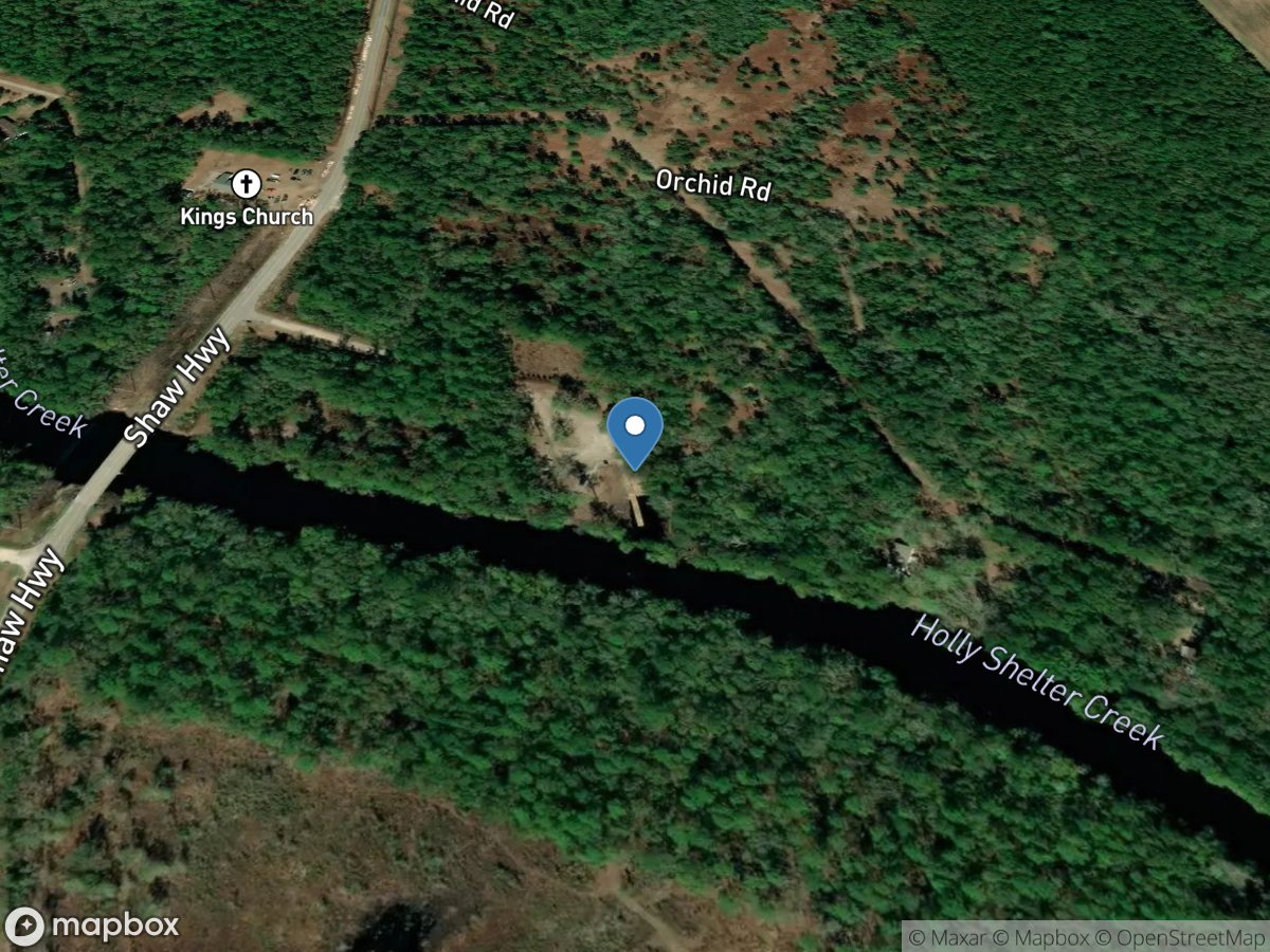
Shelter Creek
Access Site
Holly Shelter Creek
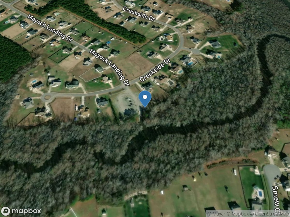
Shingle Landing
Access Site
Moyock Run
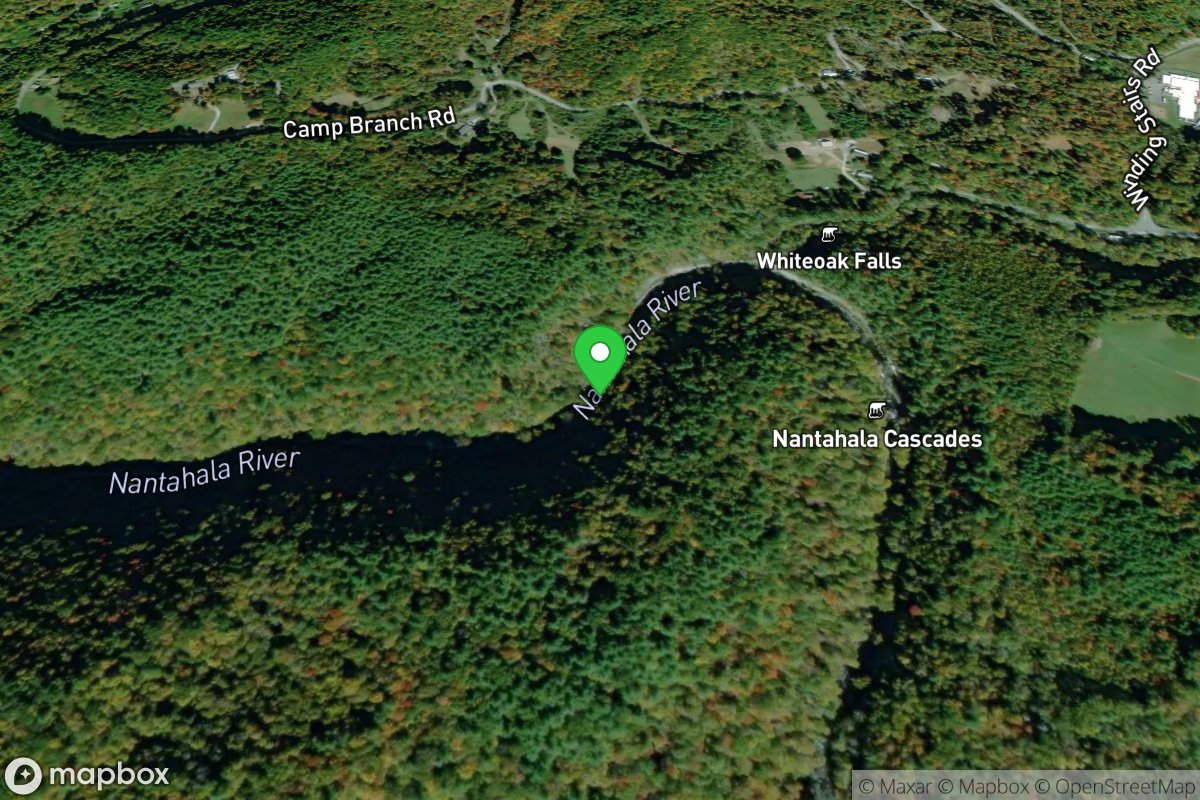
Short / Traditional Put-In
Access Site
Nantahala
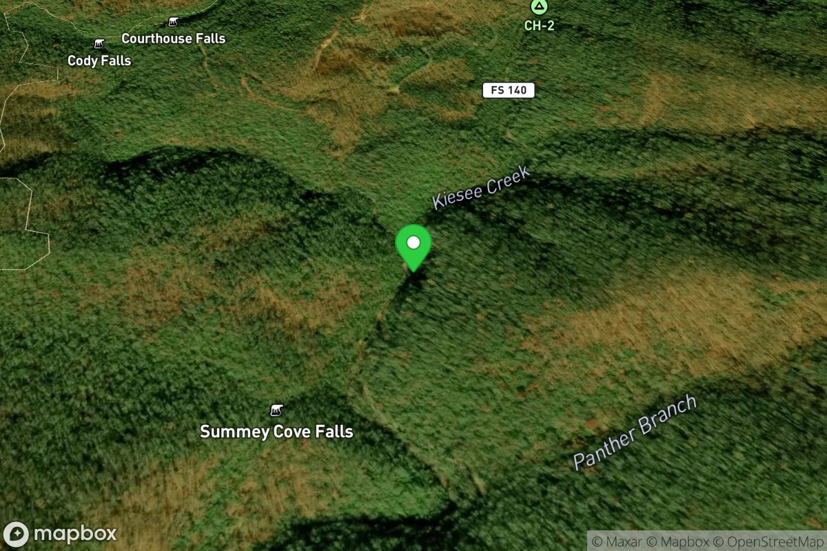
Short Put In
Access Site
Courthouse Creek
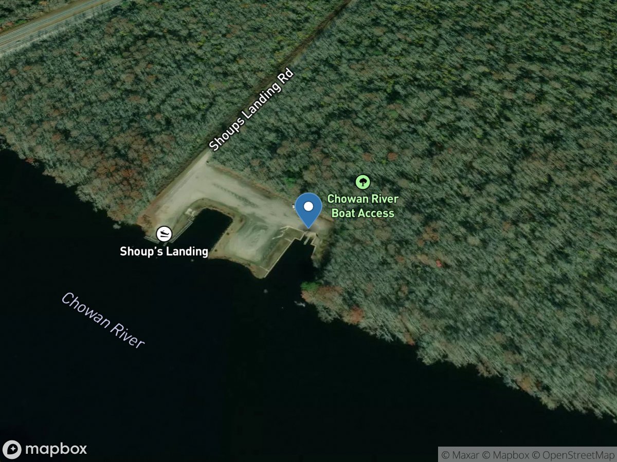
Shoups Landing
Access Site
Chowan River
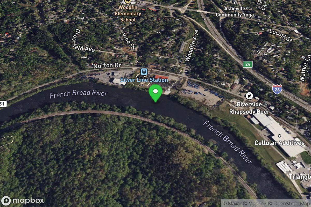
Silver-Line Park Put-In
Access Site
French Broad