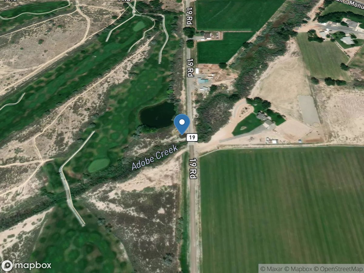
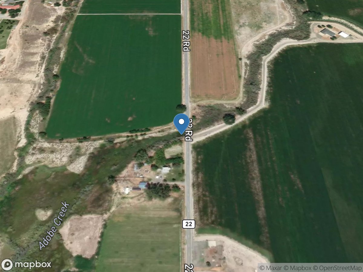
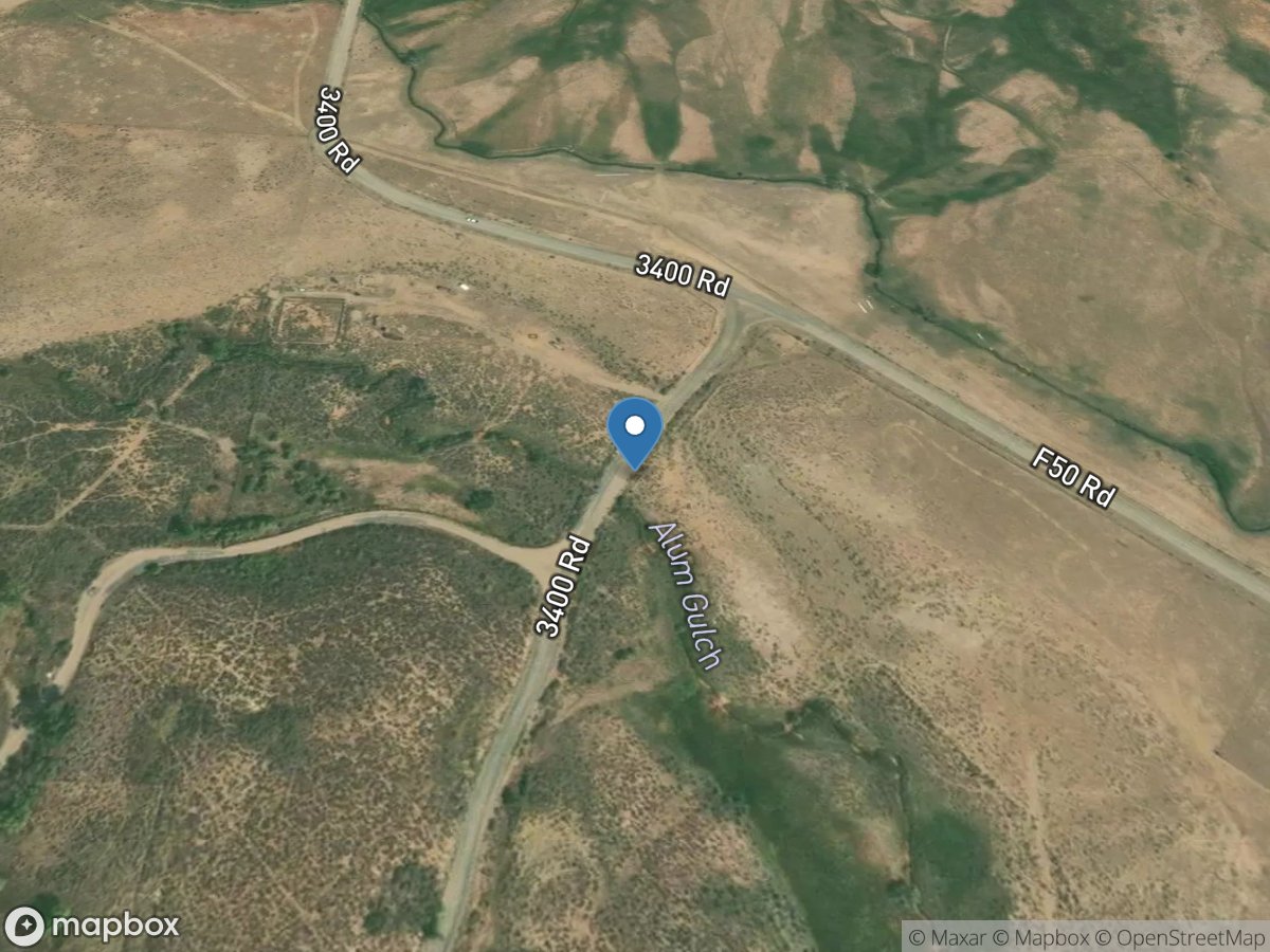
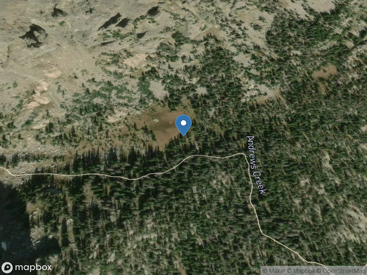
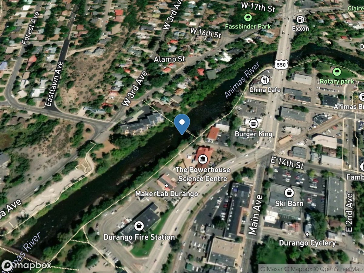
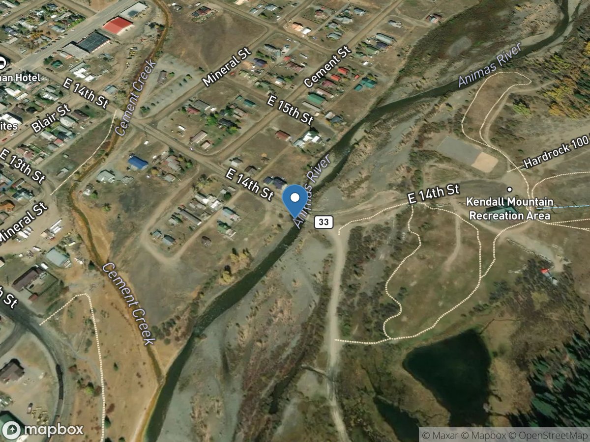
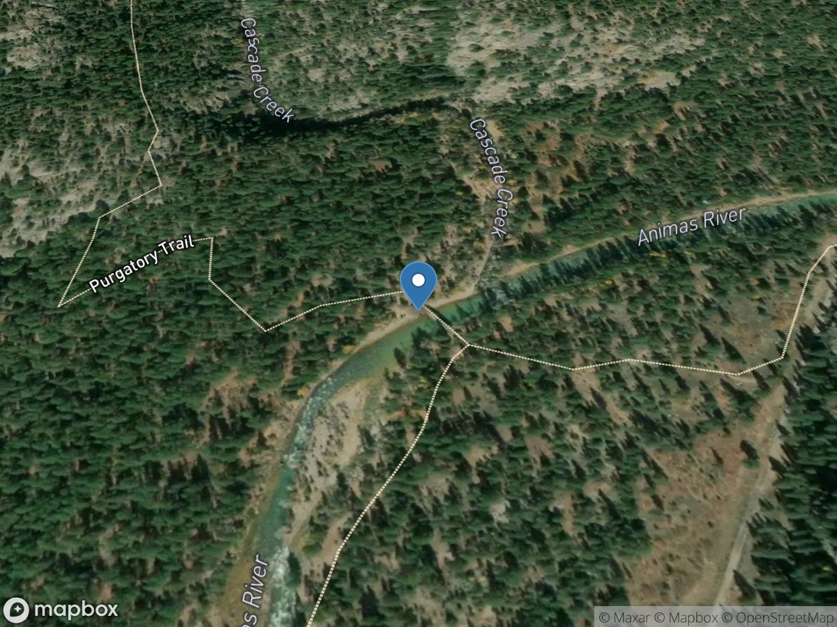
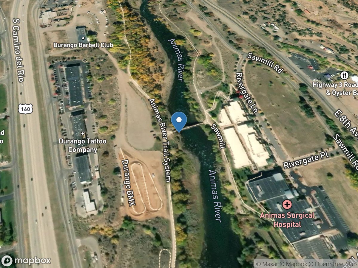
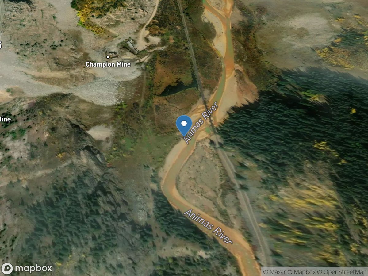
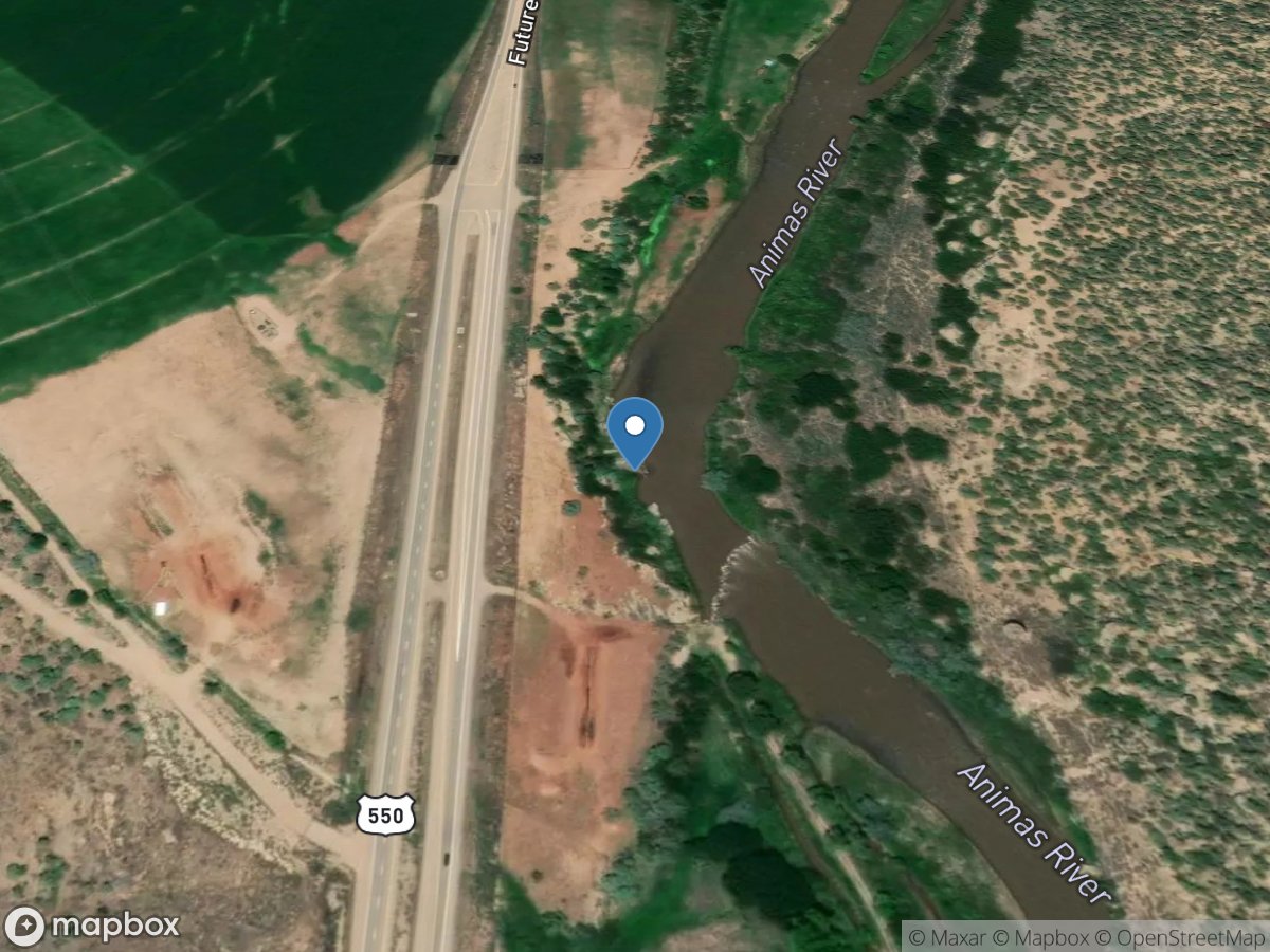
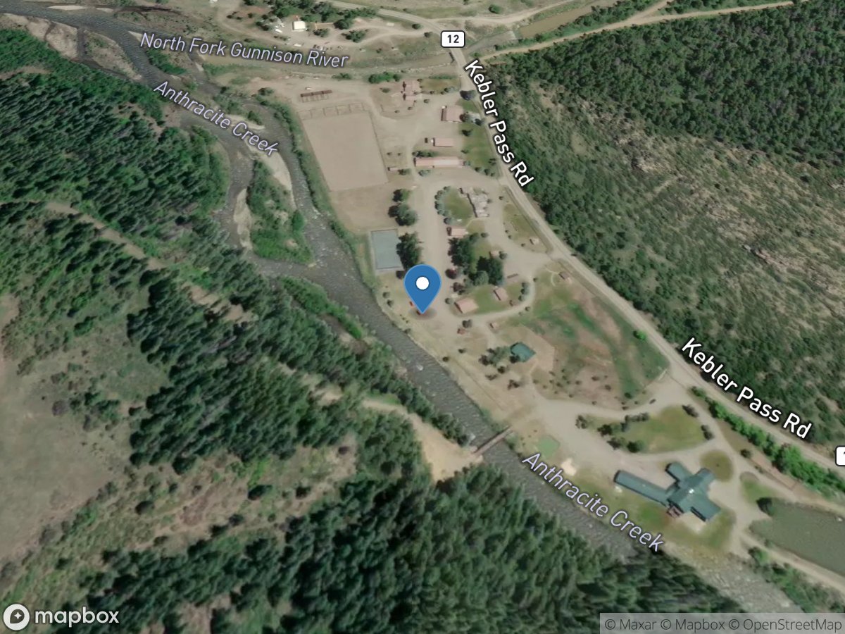
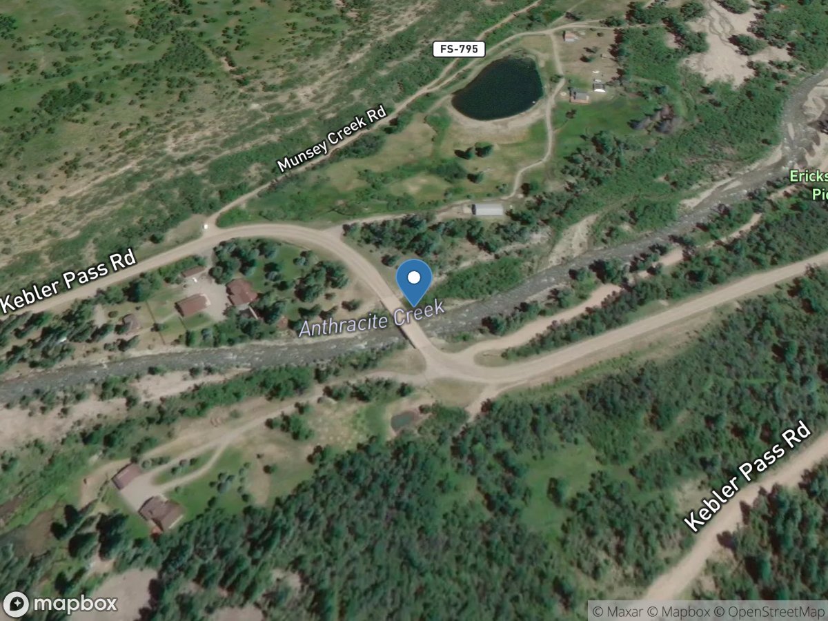
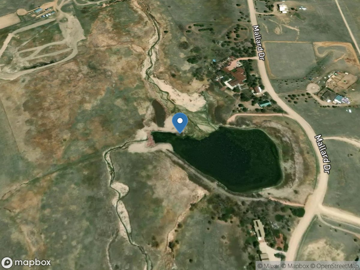
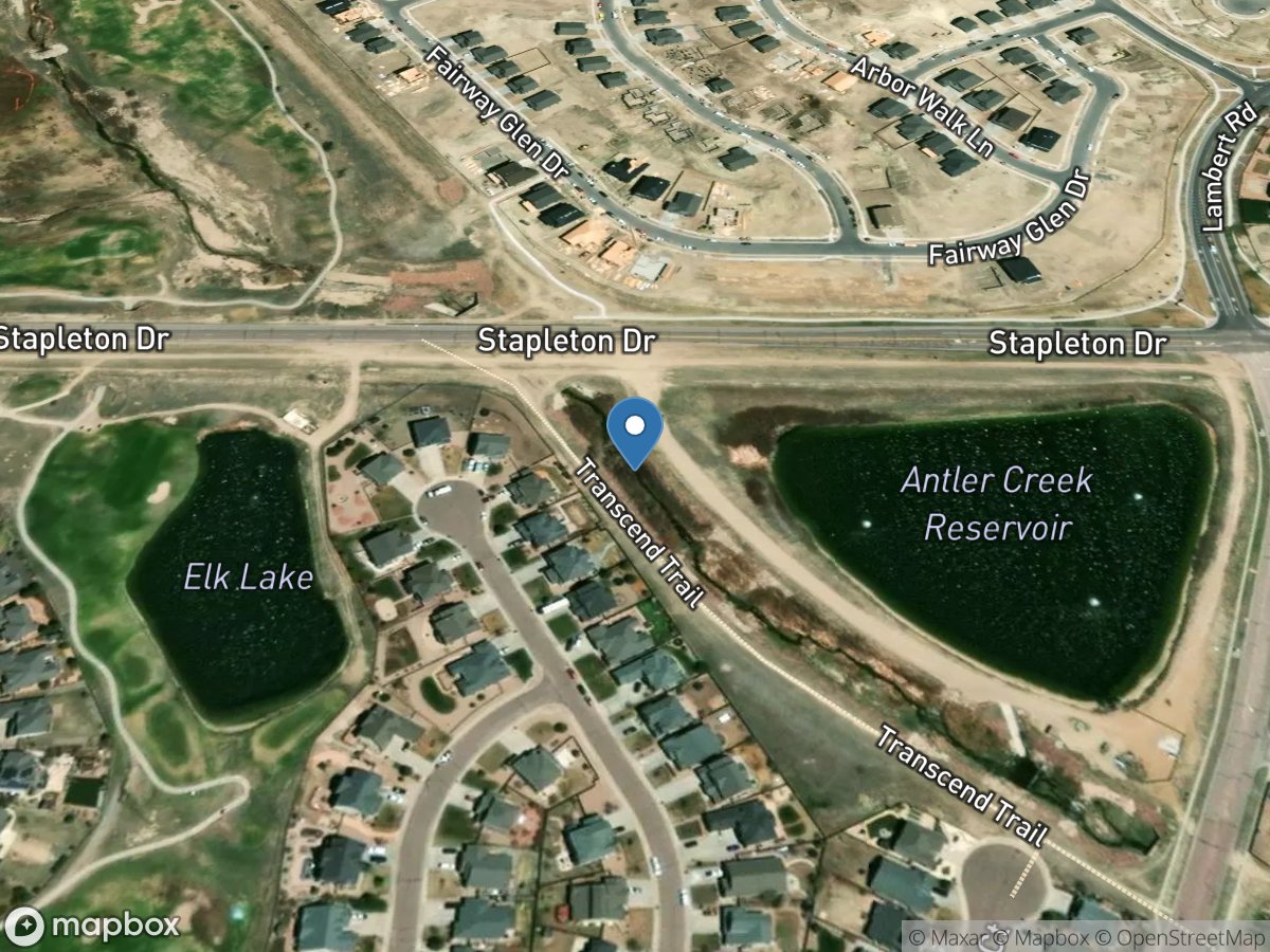
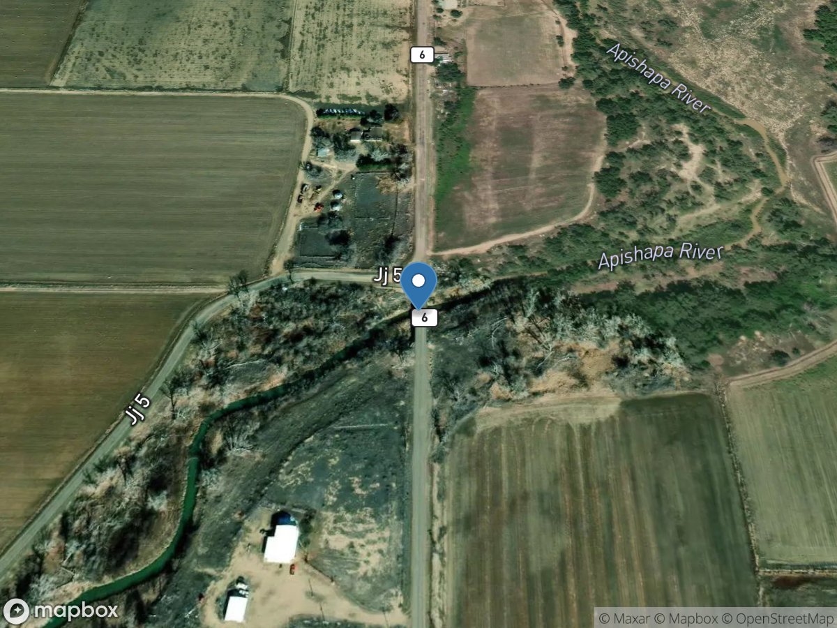
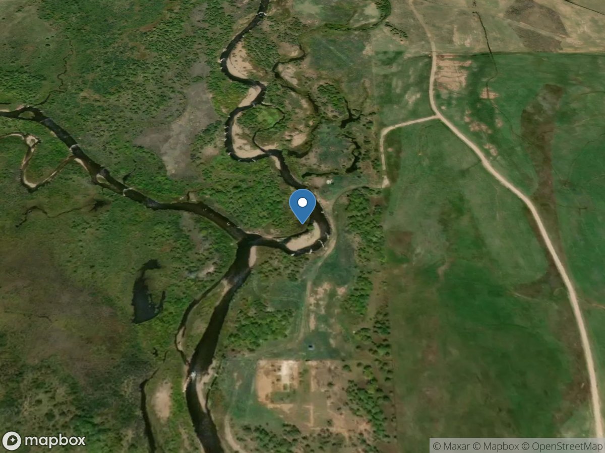
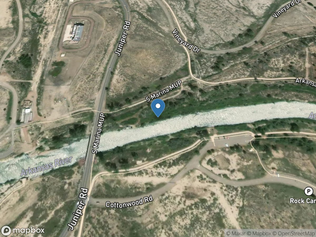
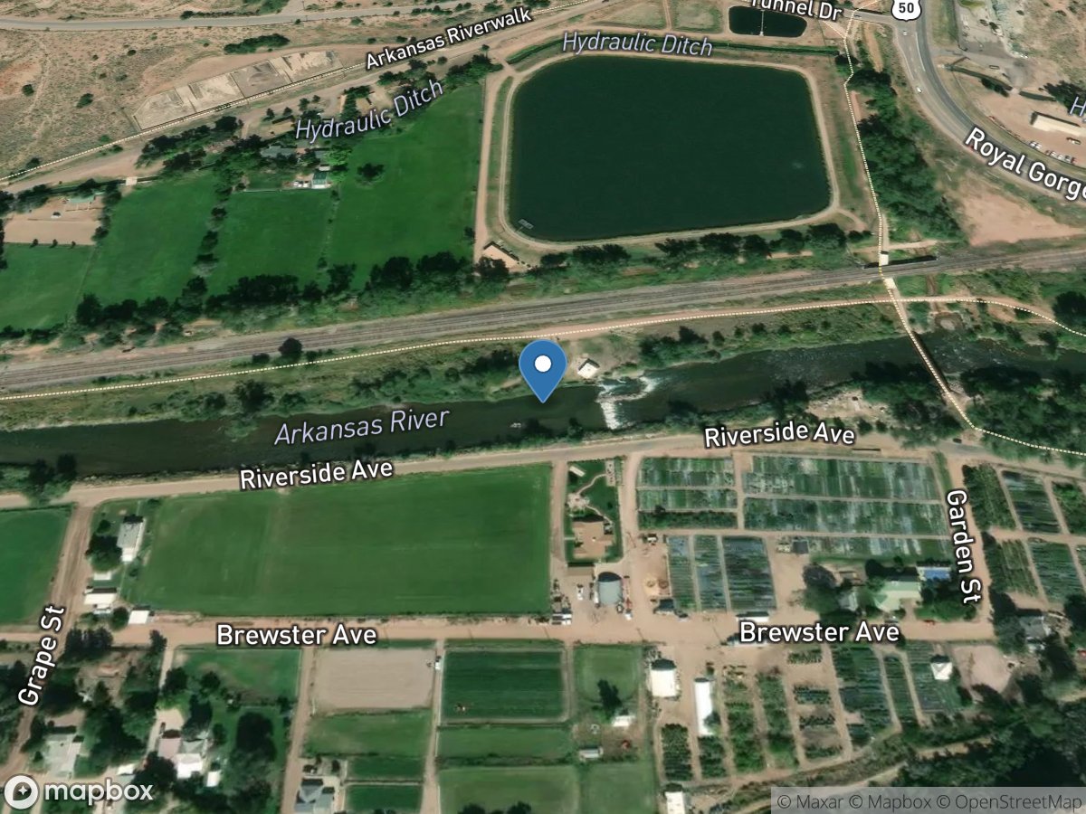
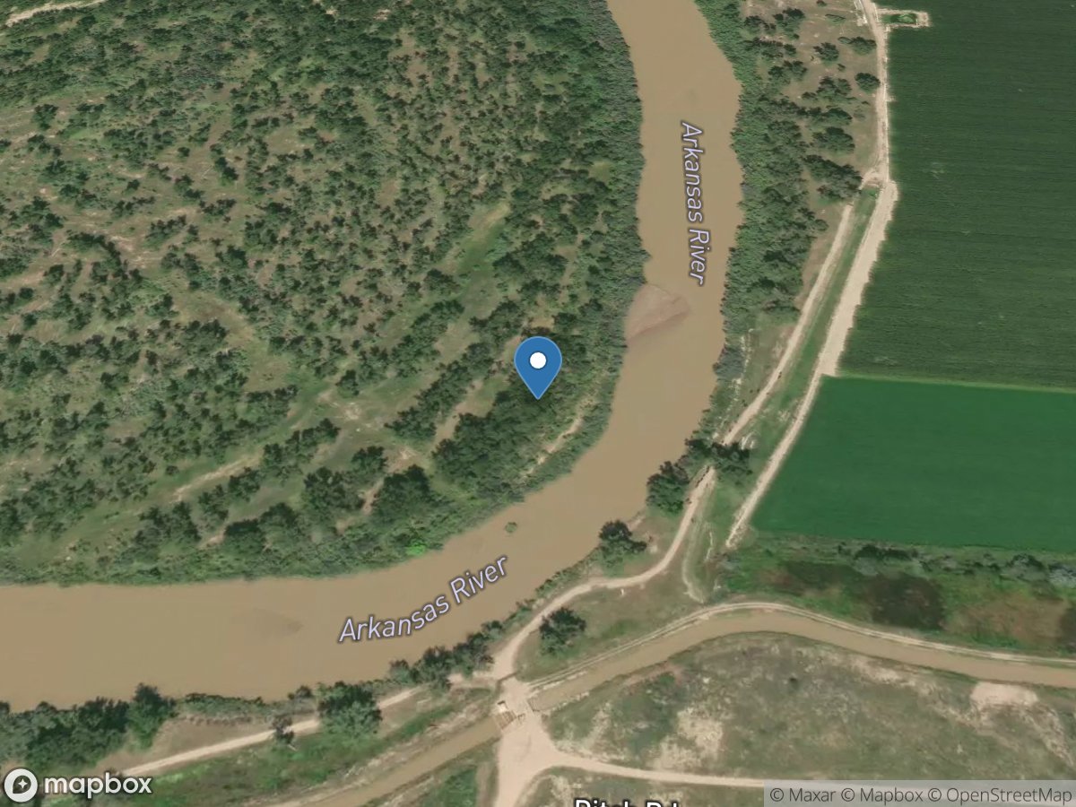
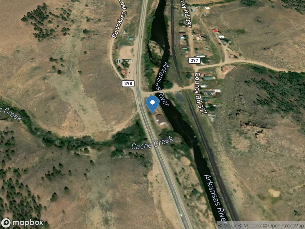
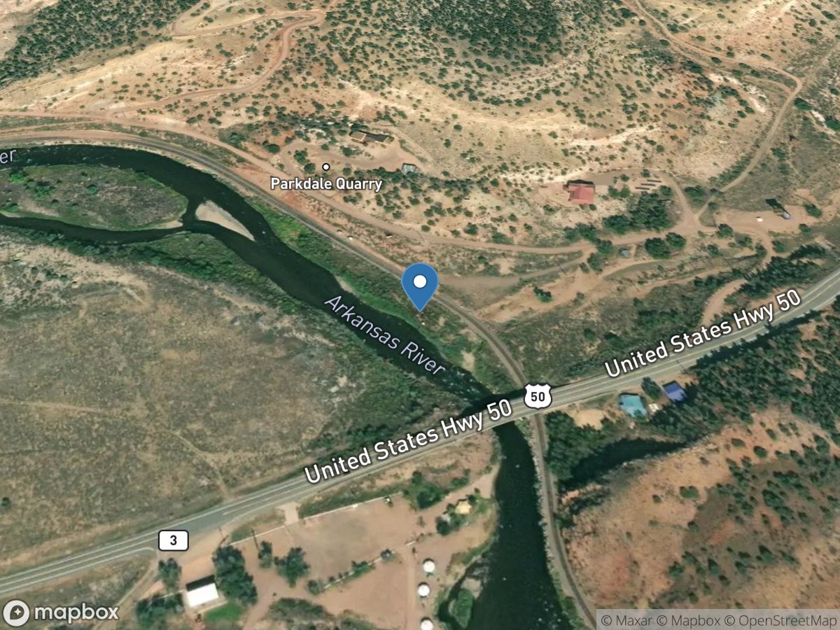
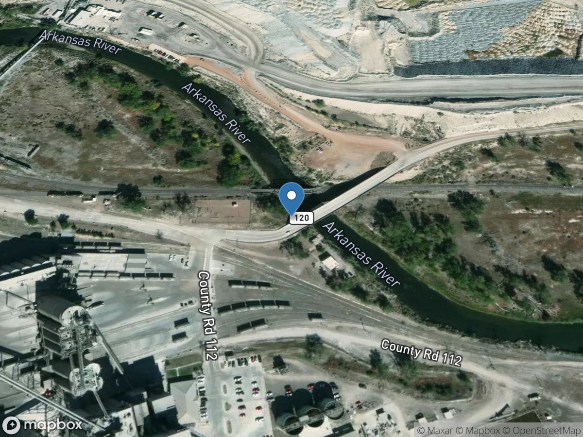
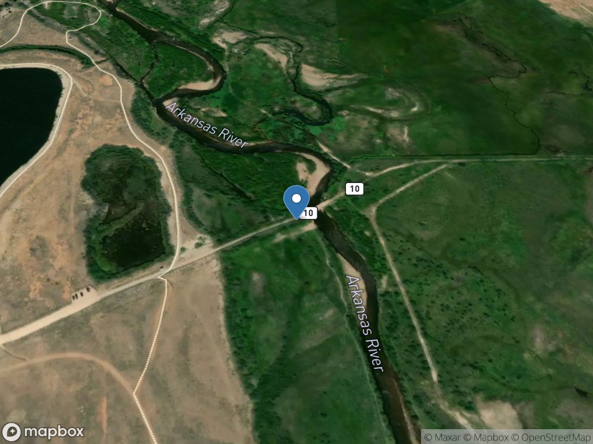
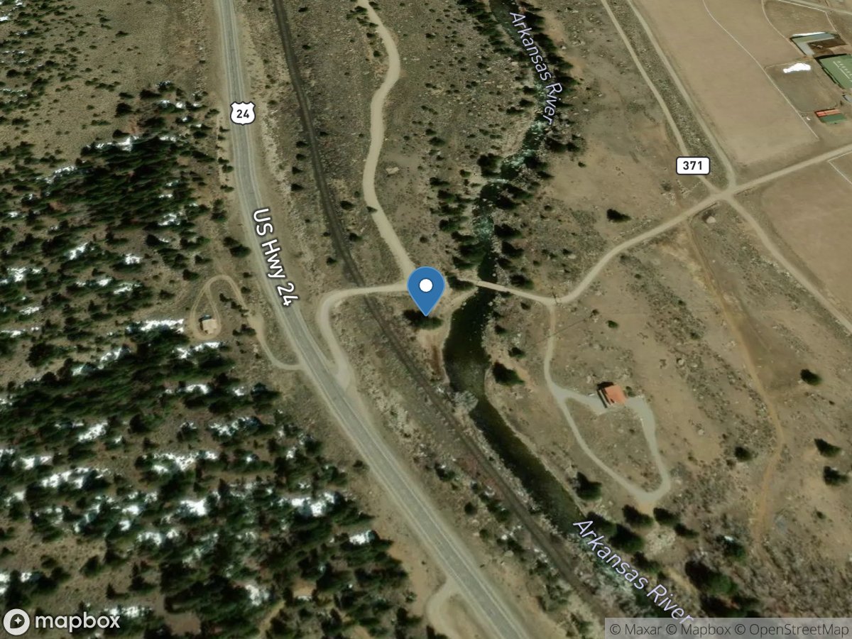
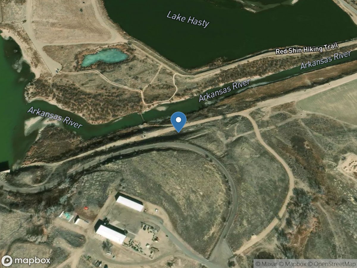
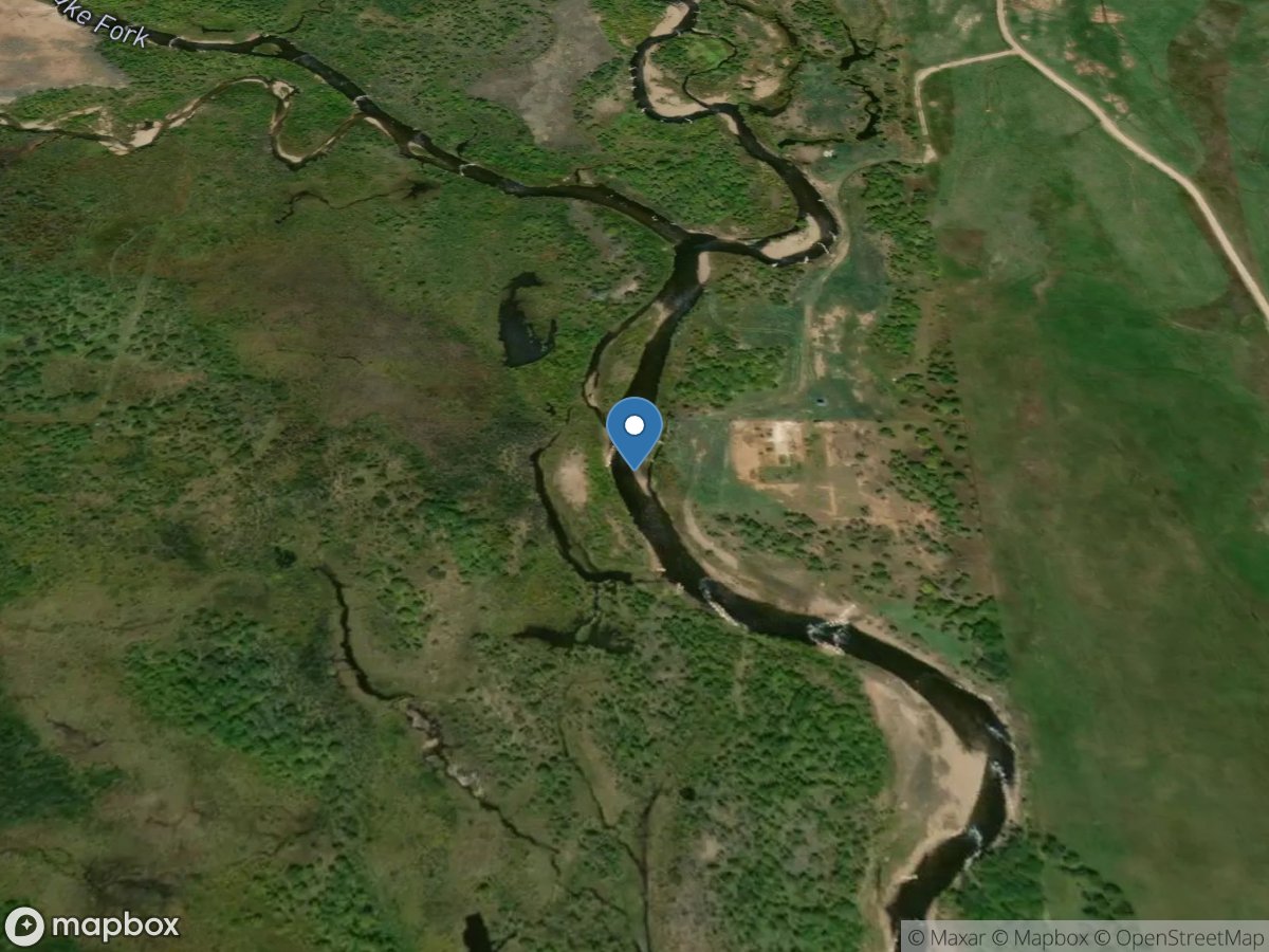
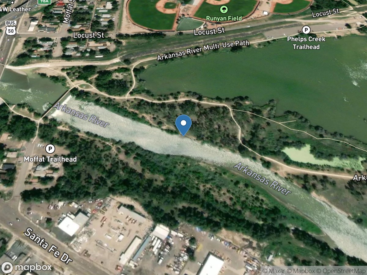
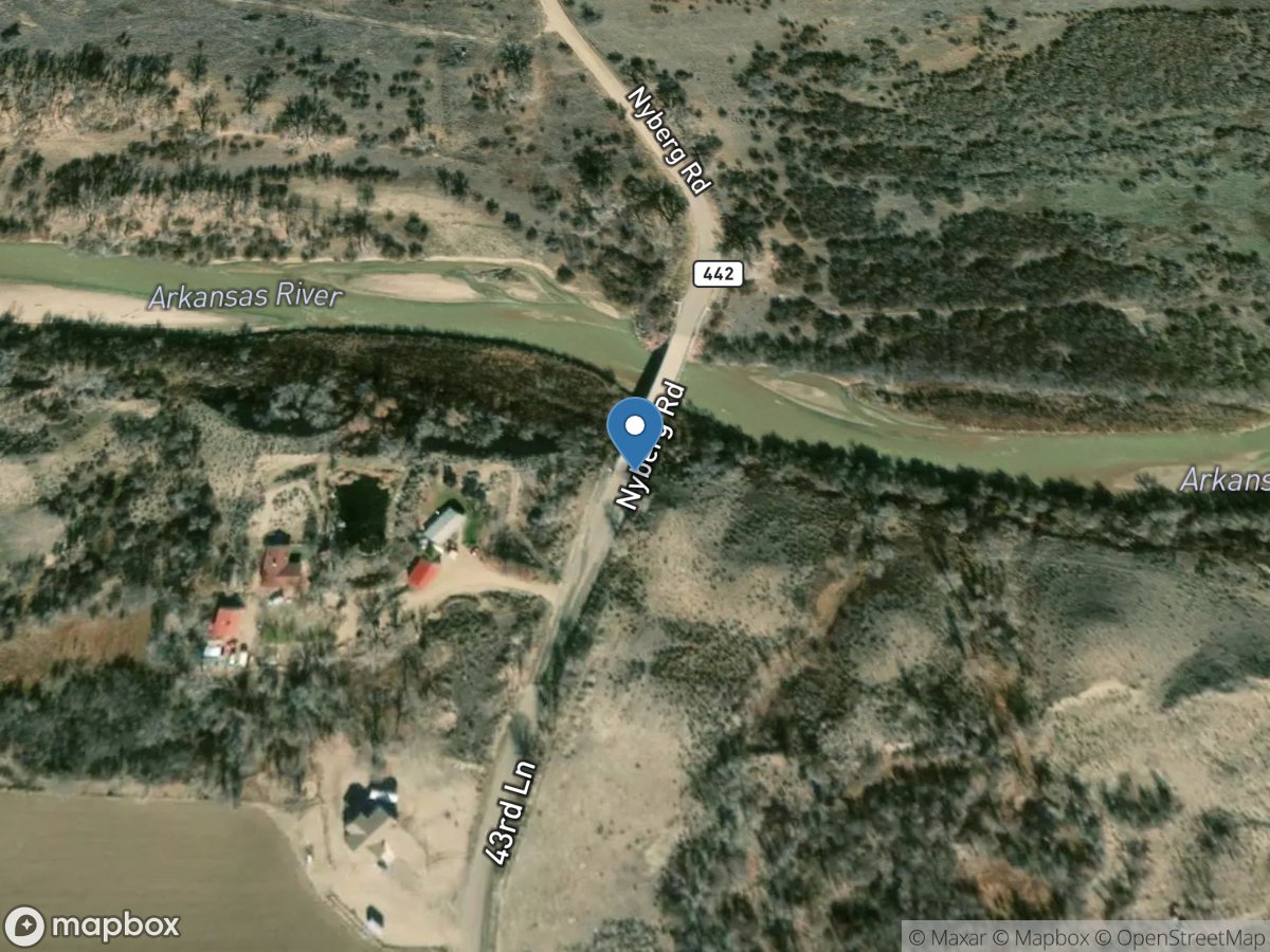
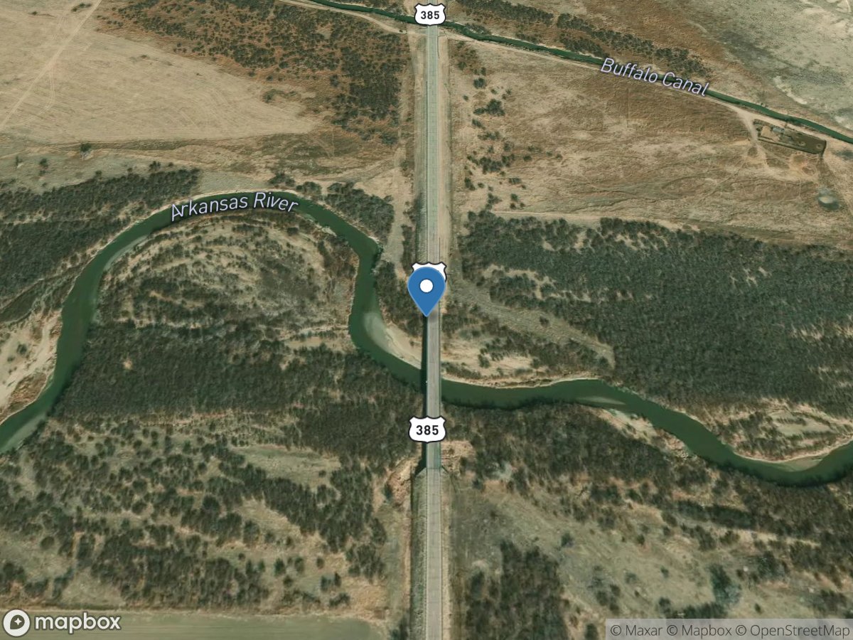
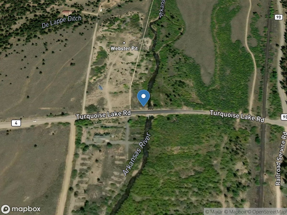
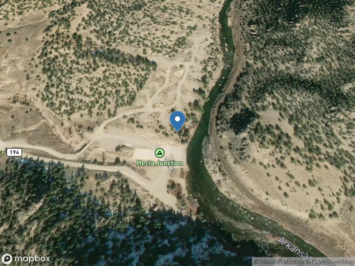
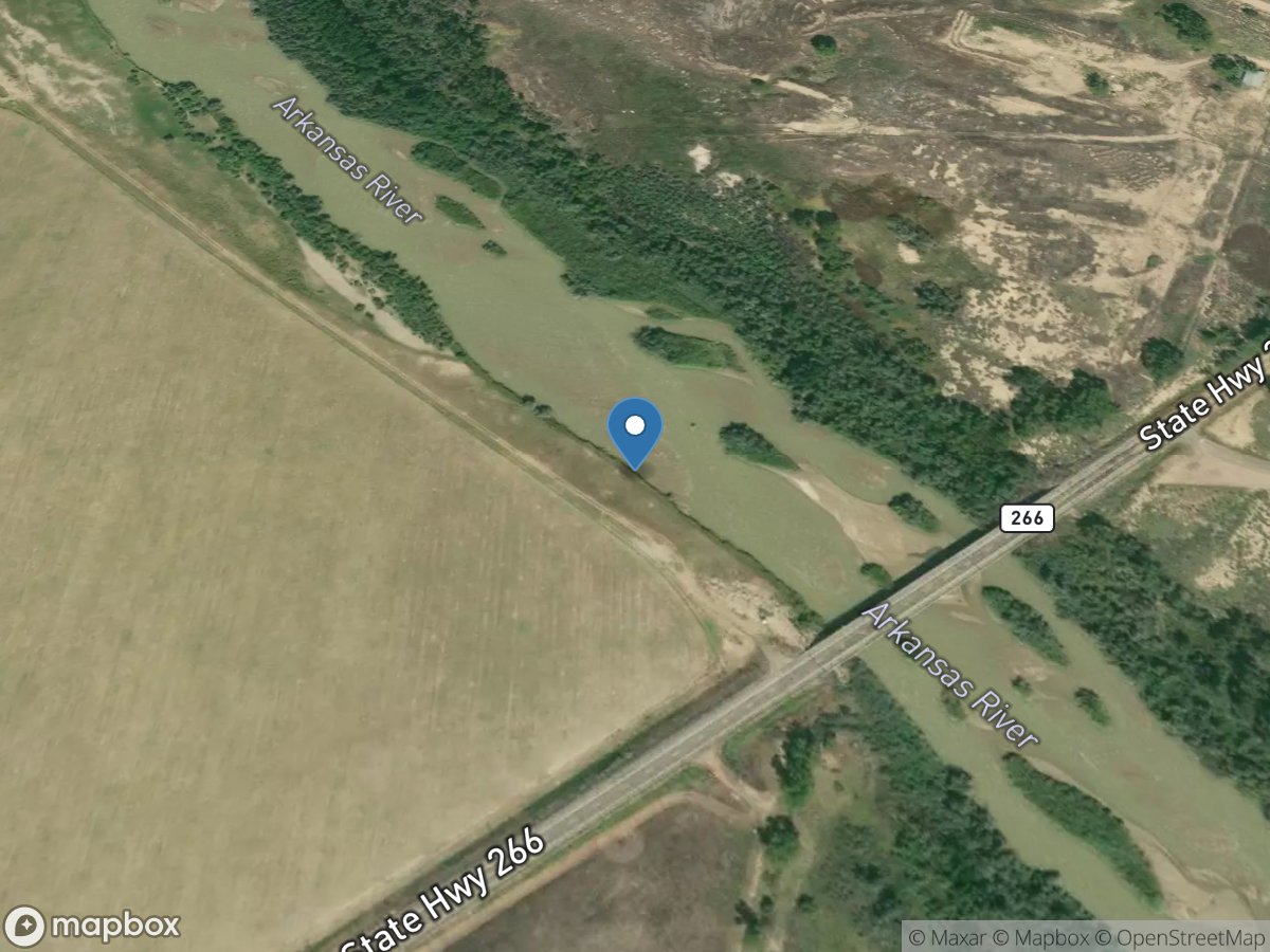
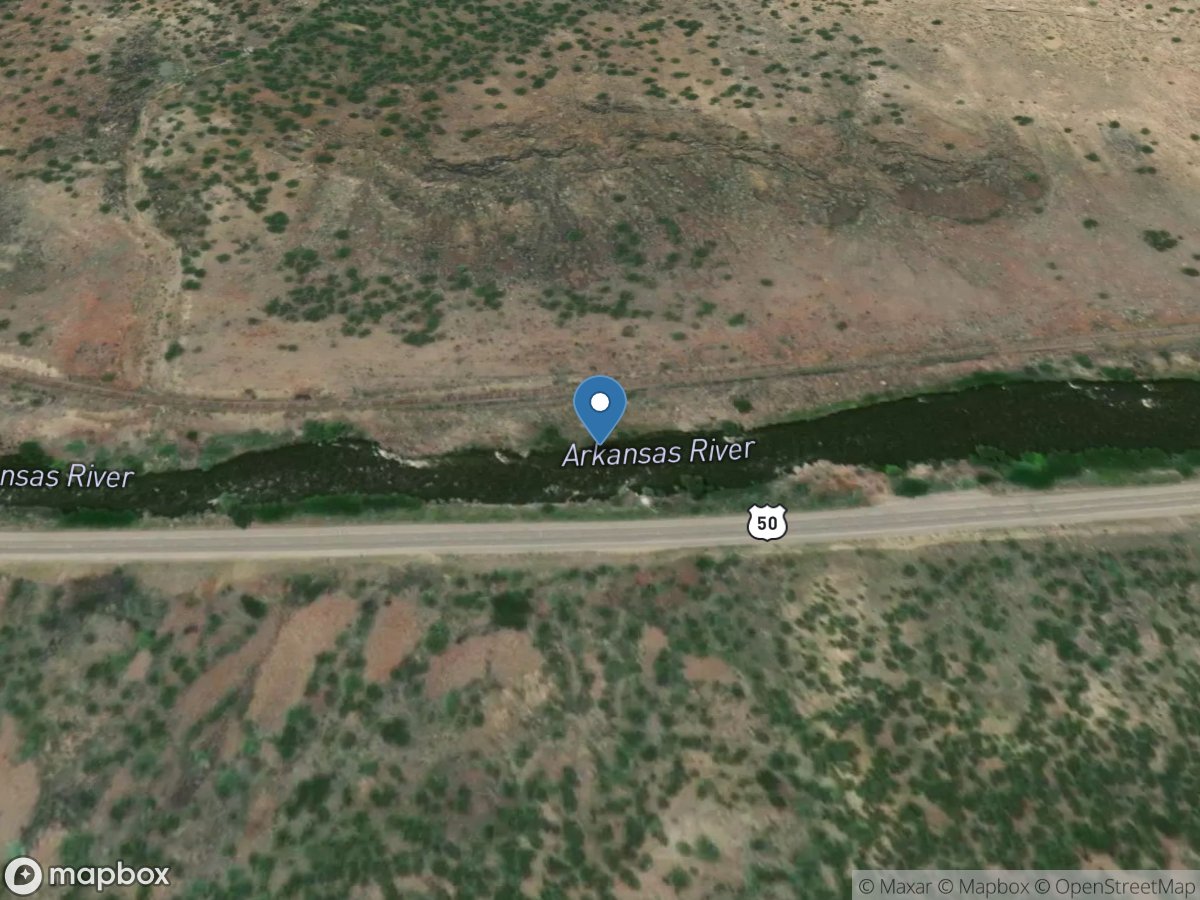
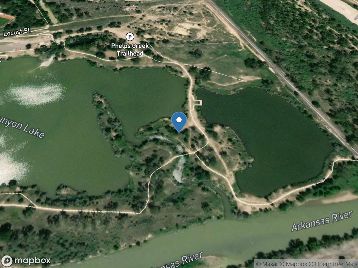
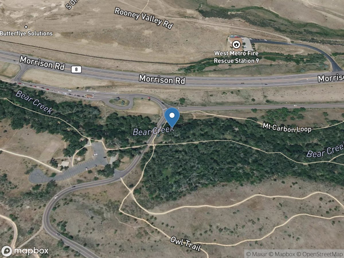
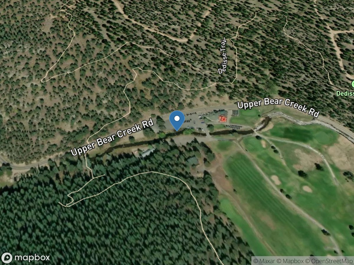
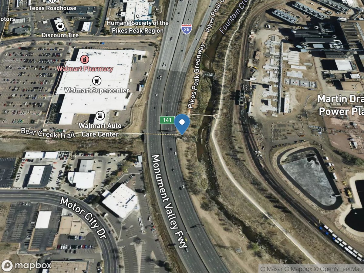
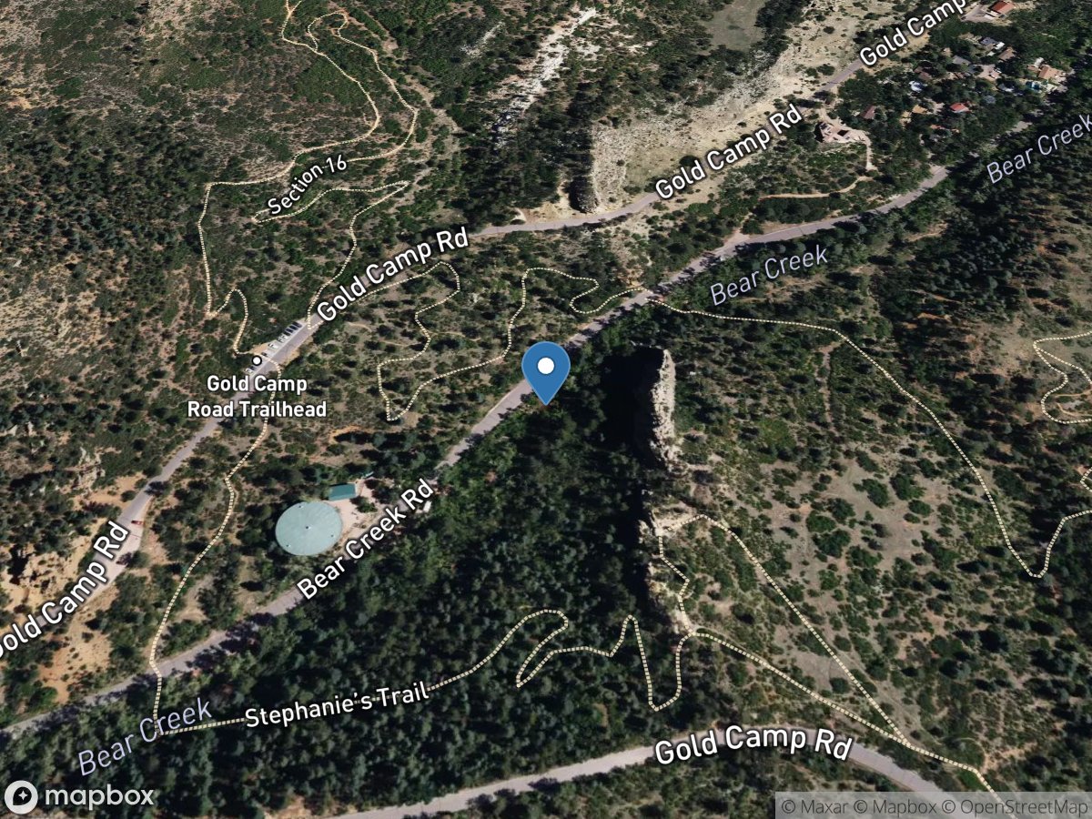
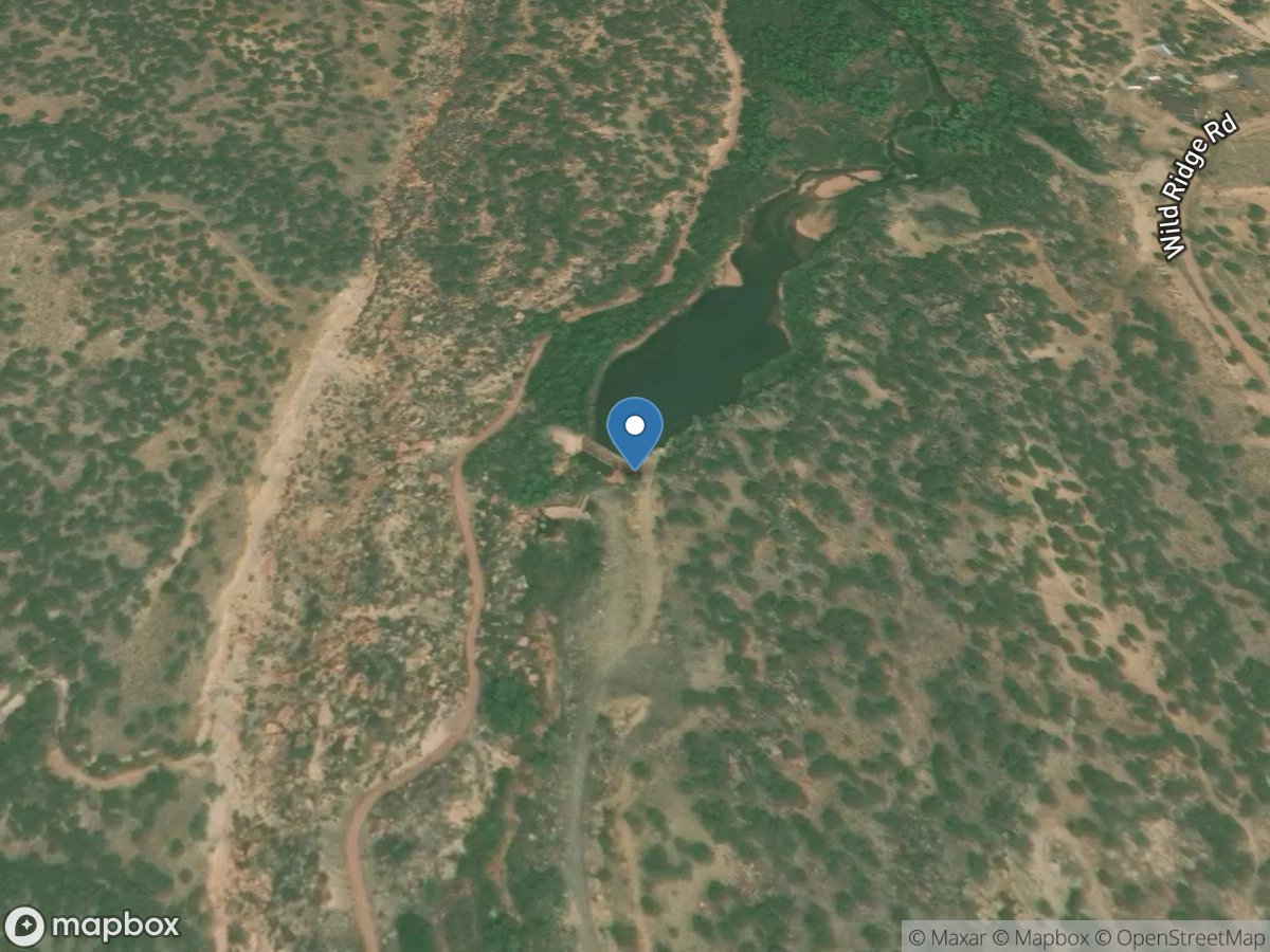
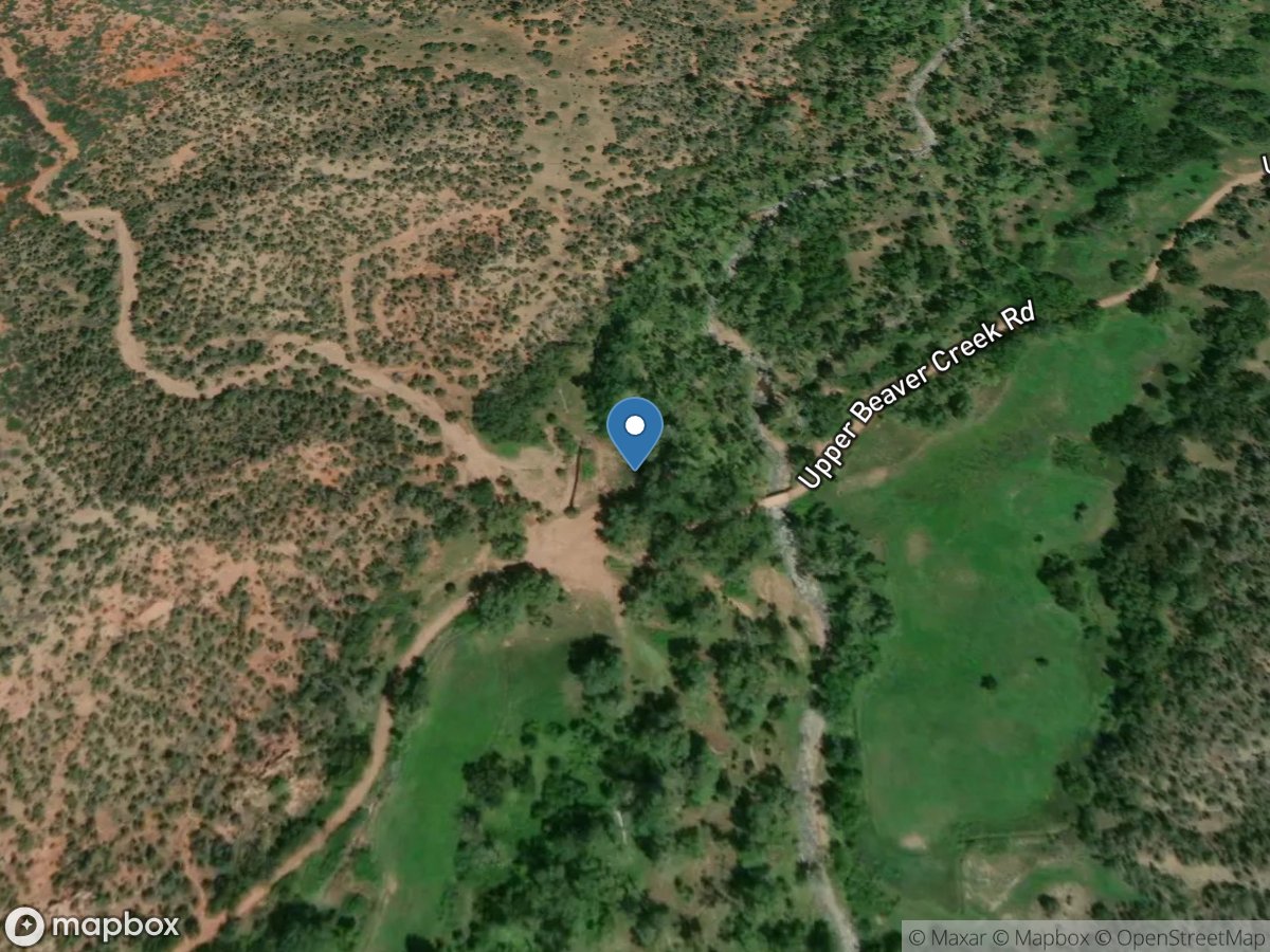
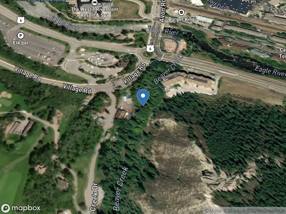
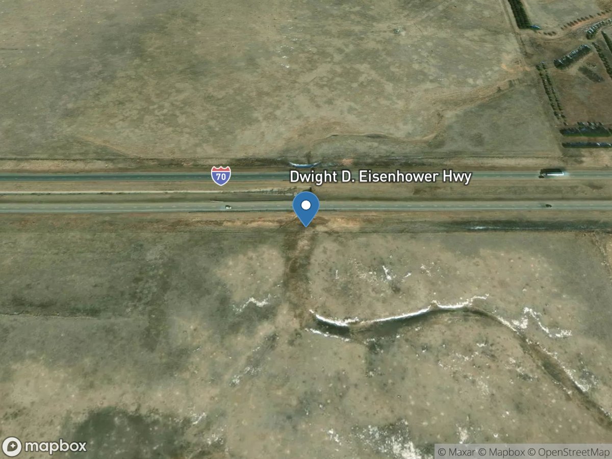
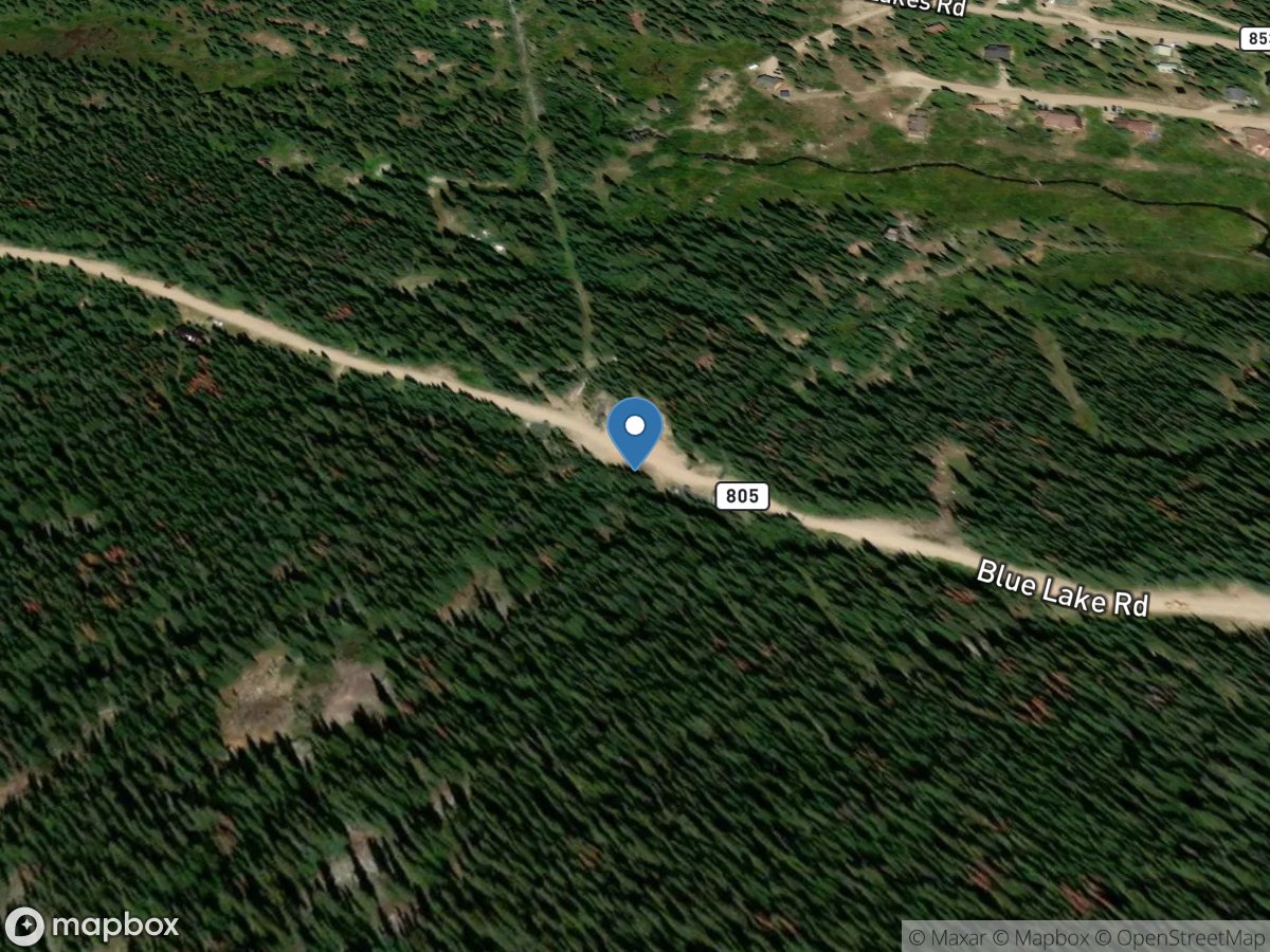
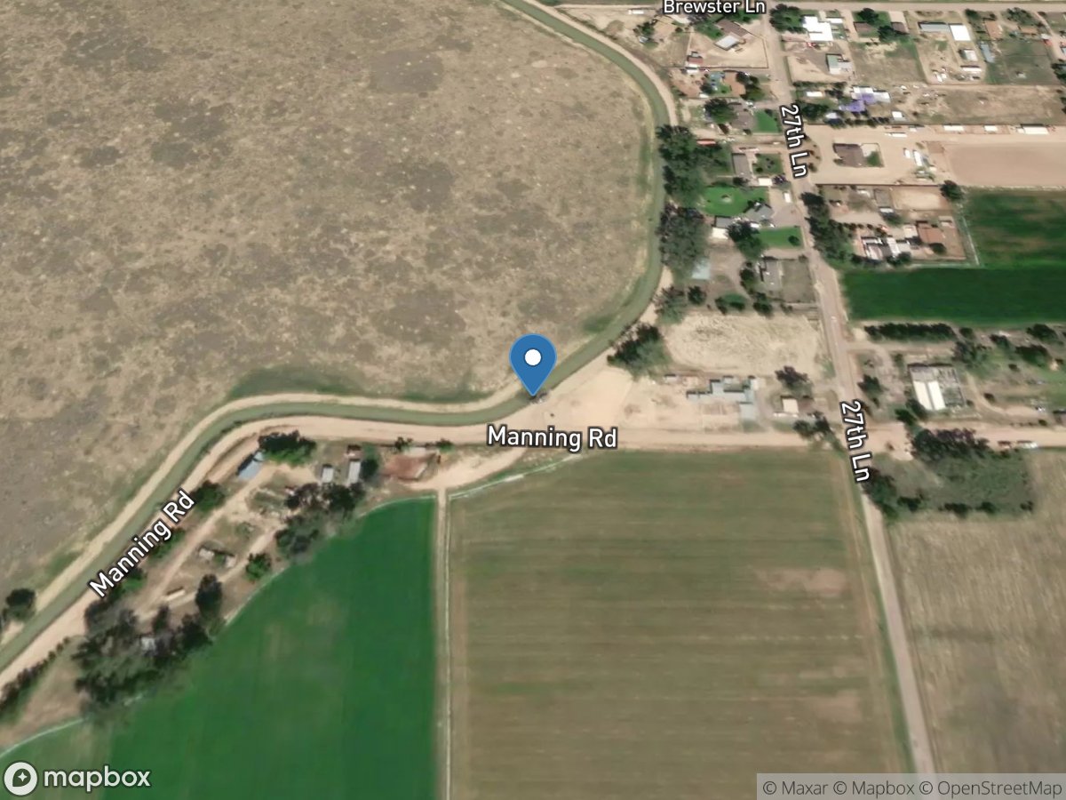
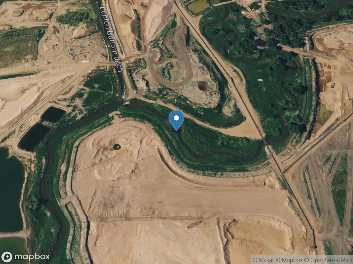
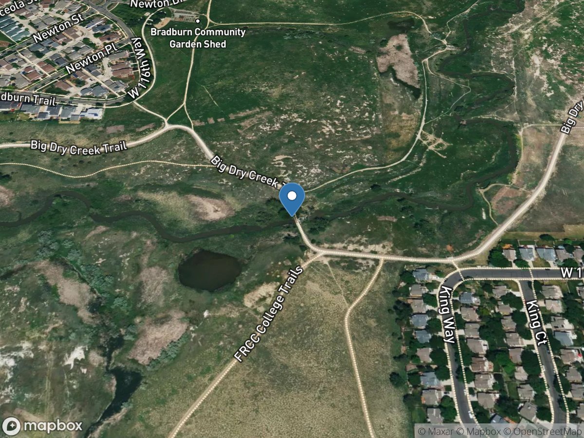
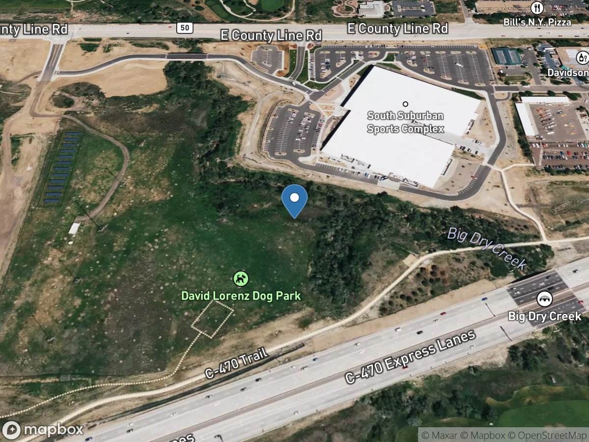
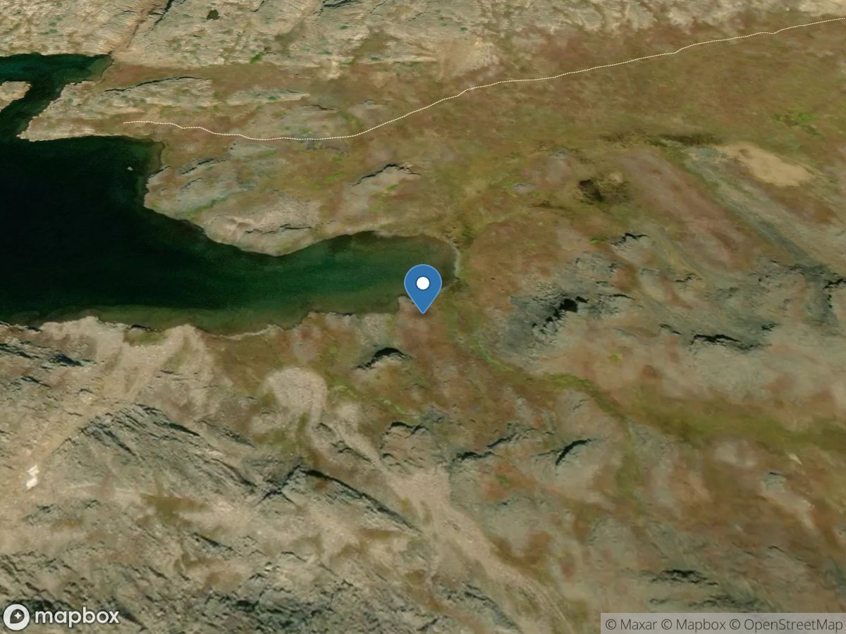
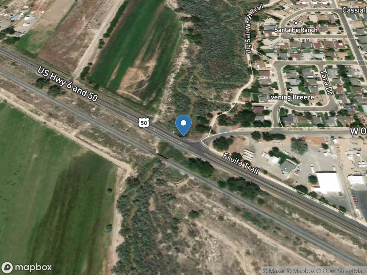
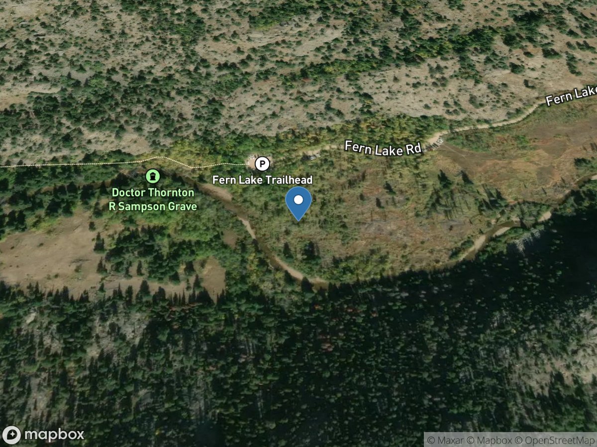
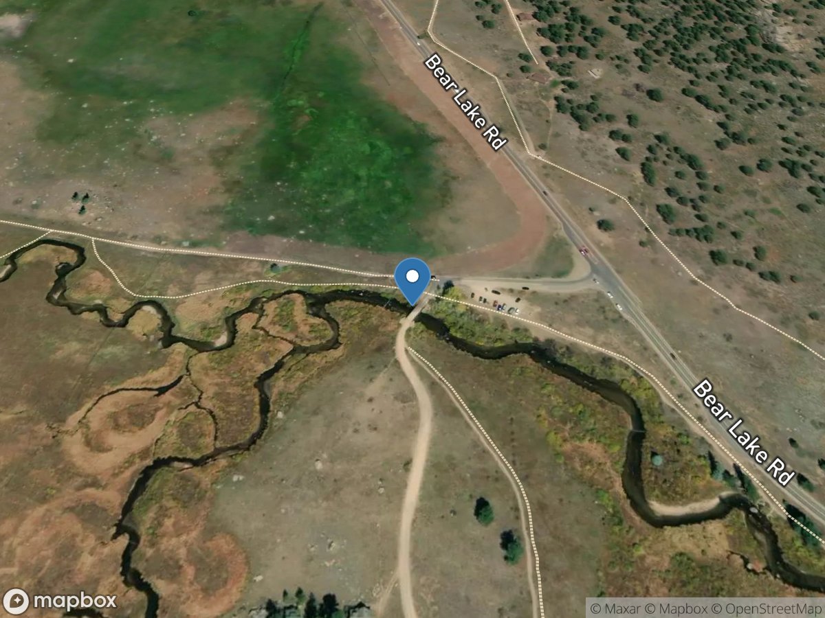
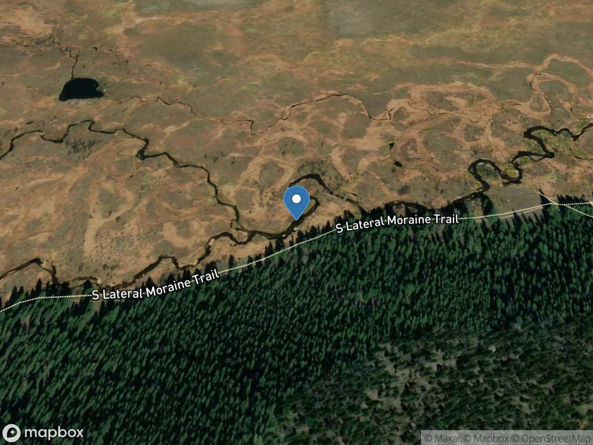
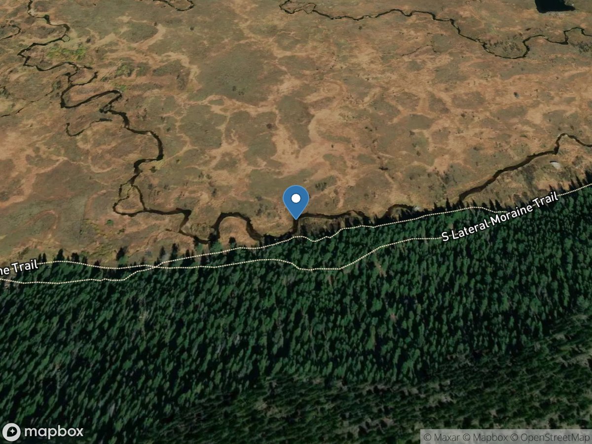
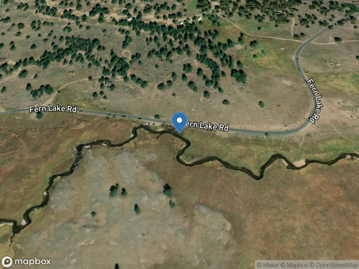
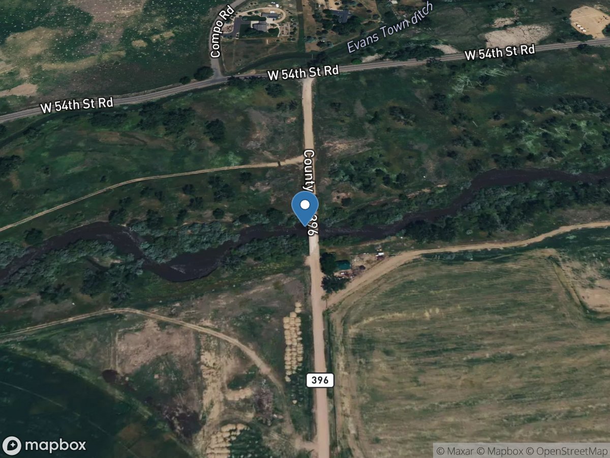
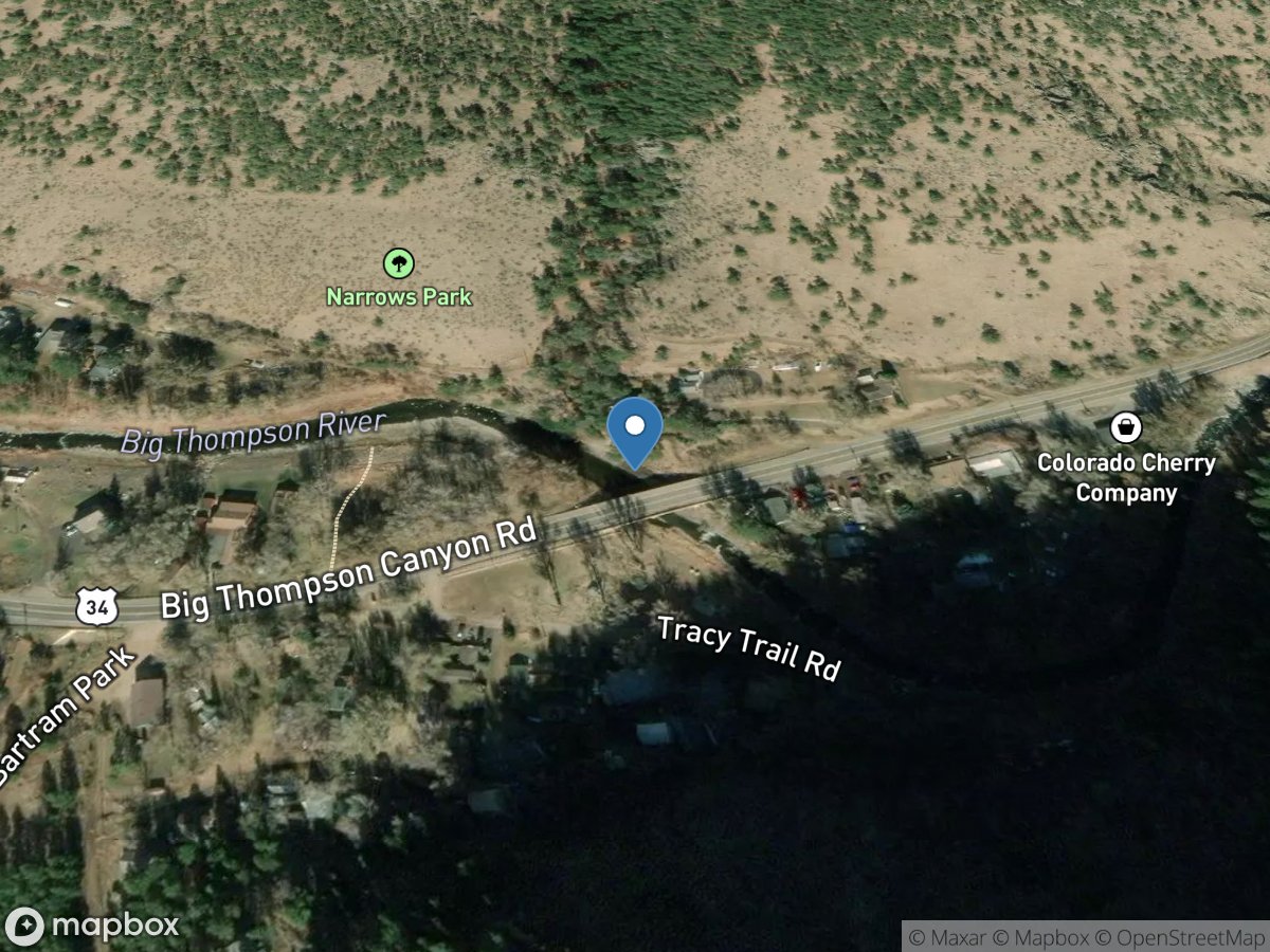
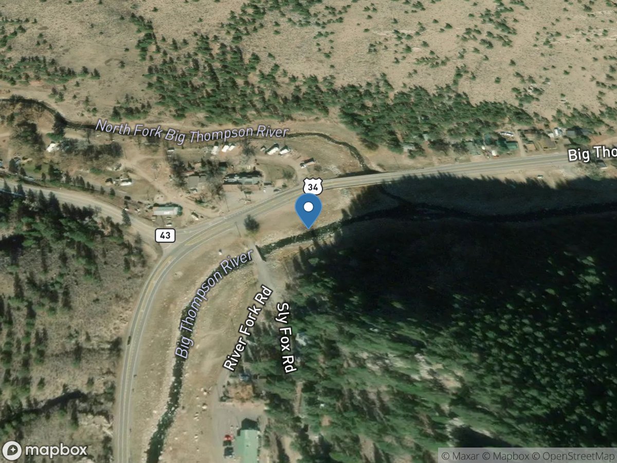
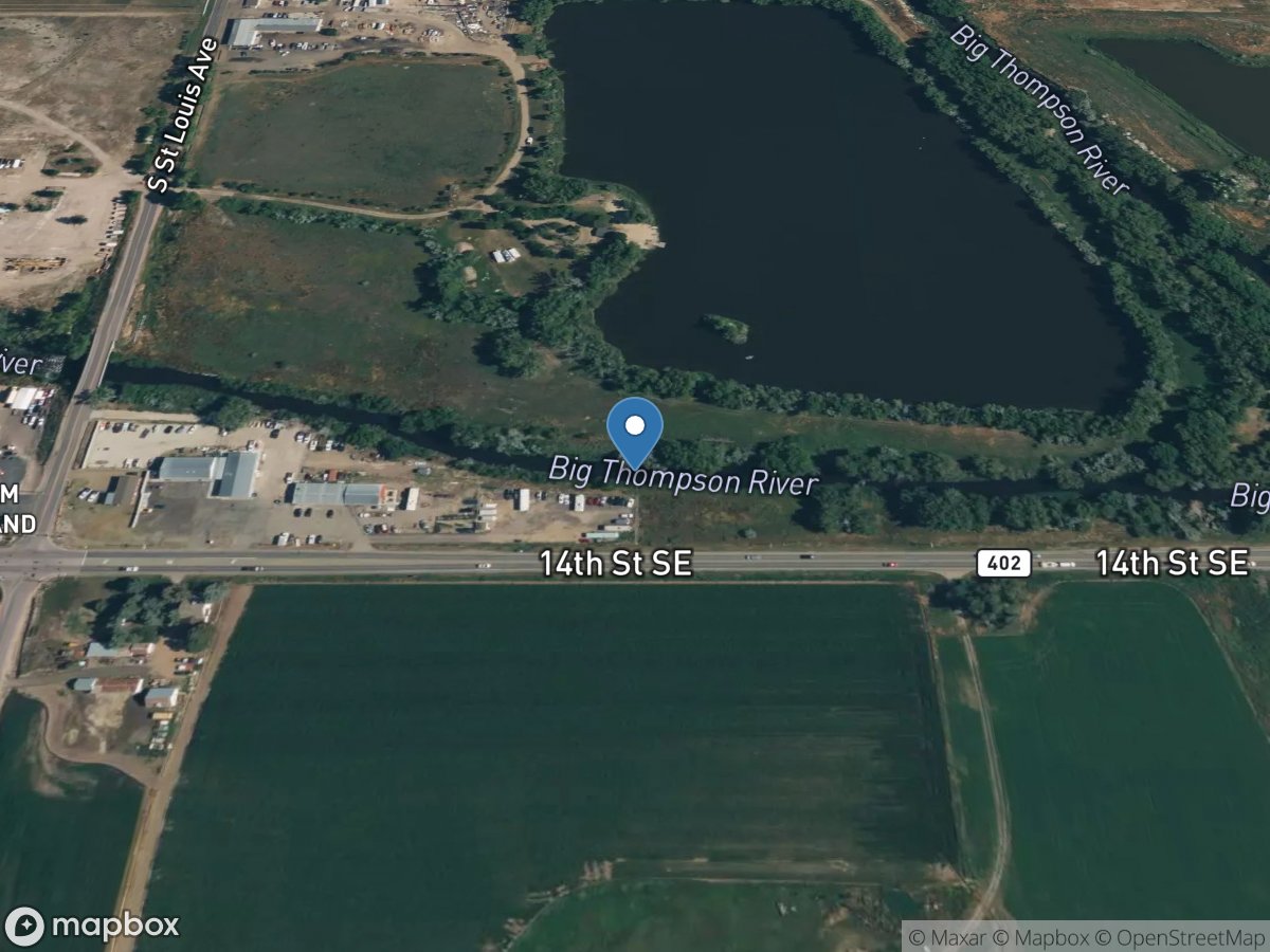
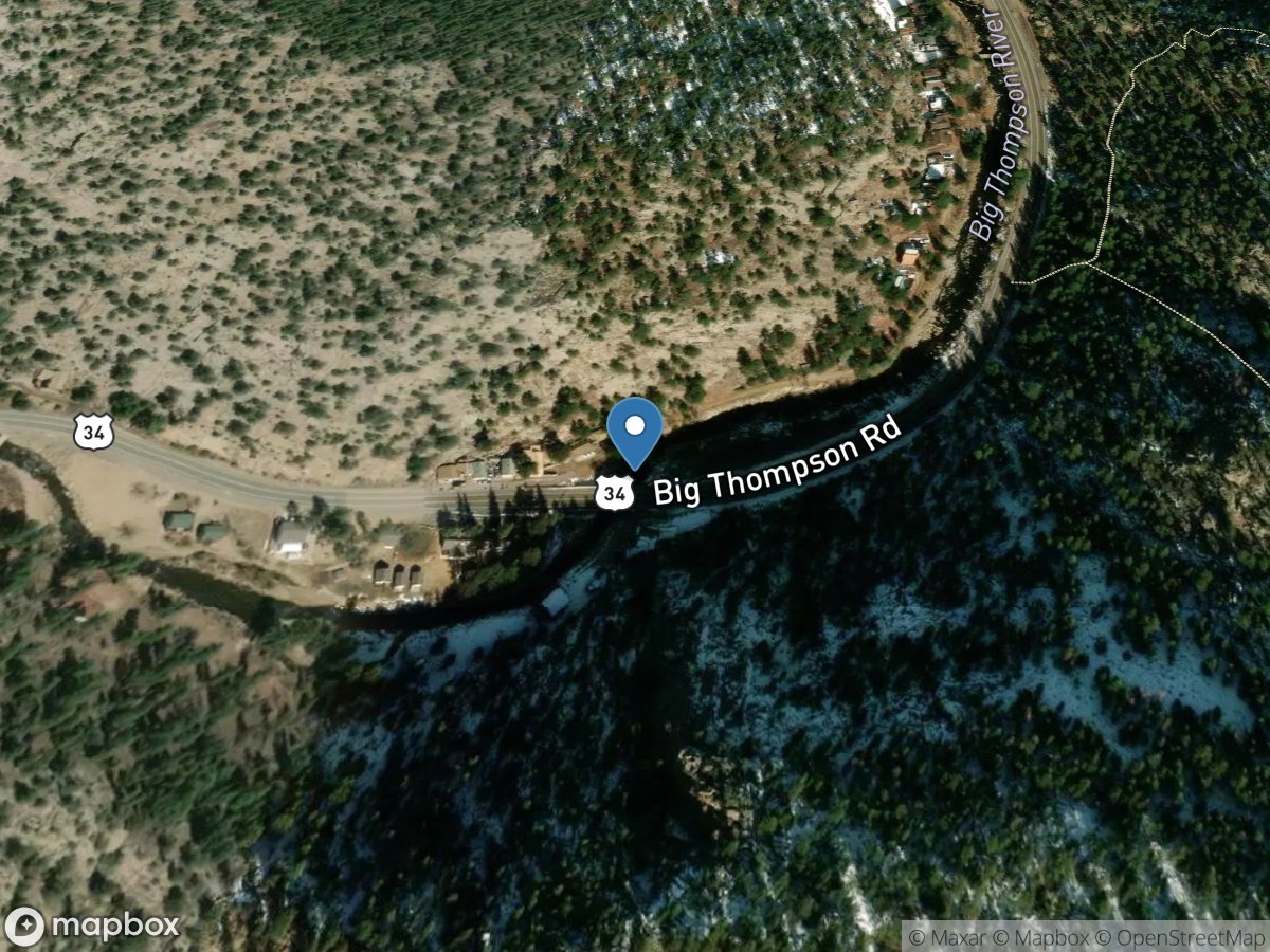
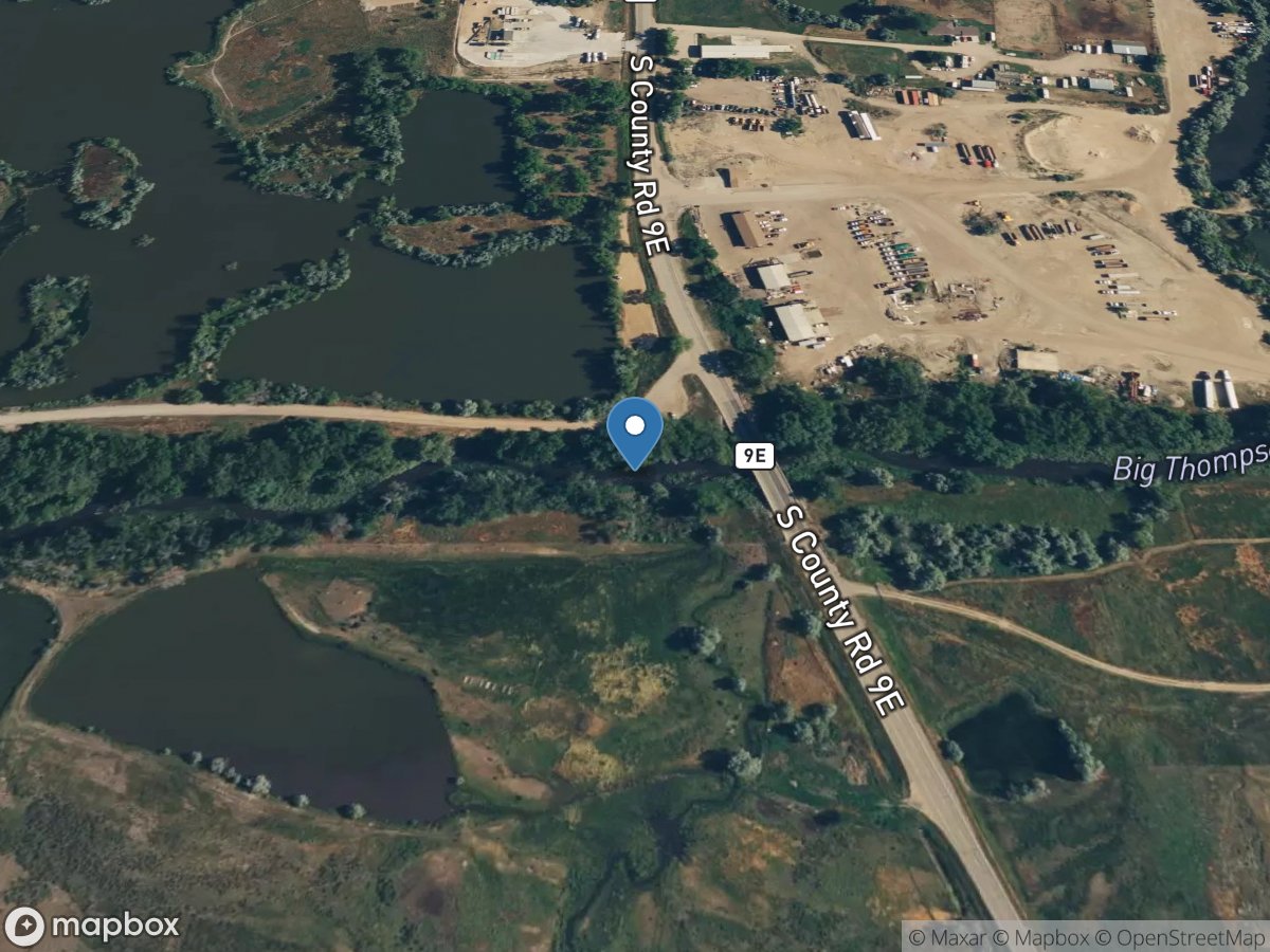
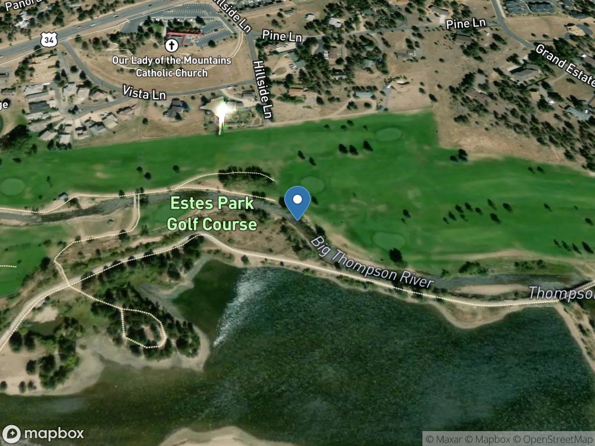
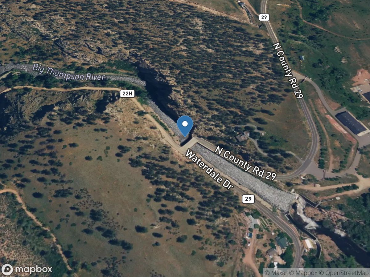
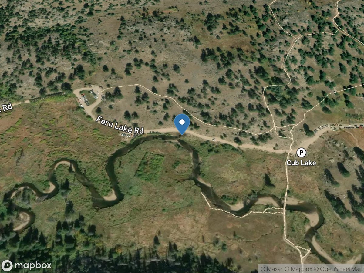
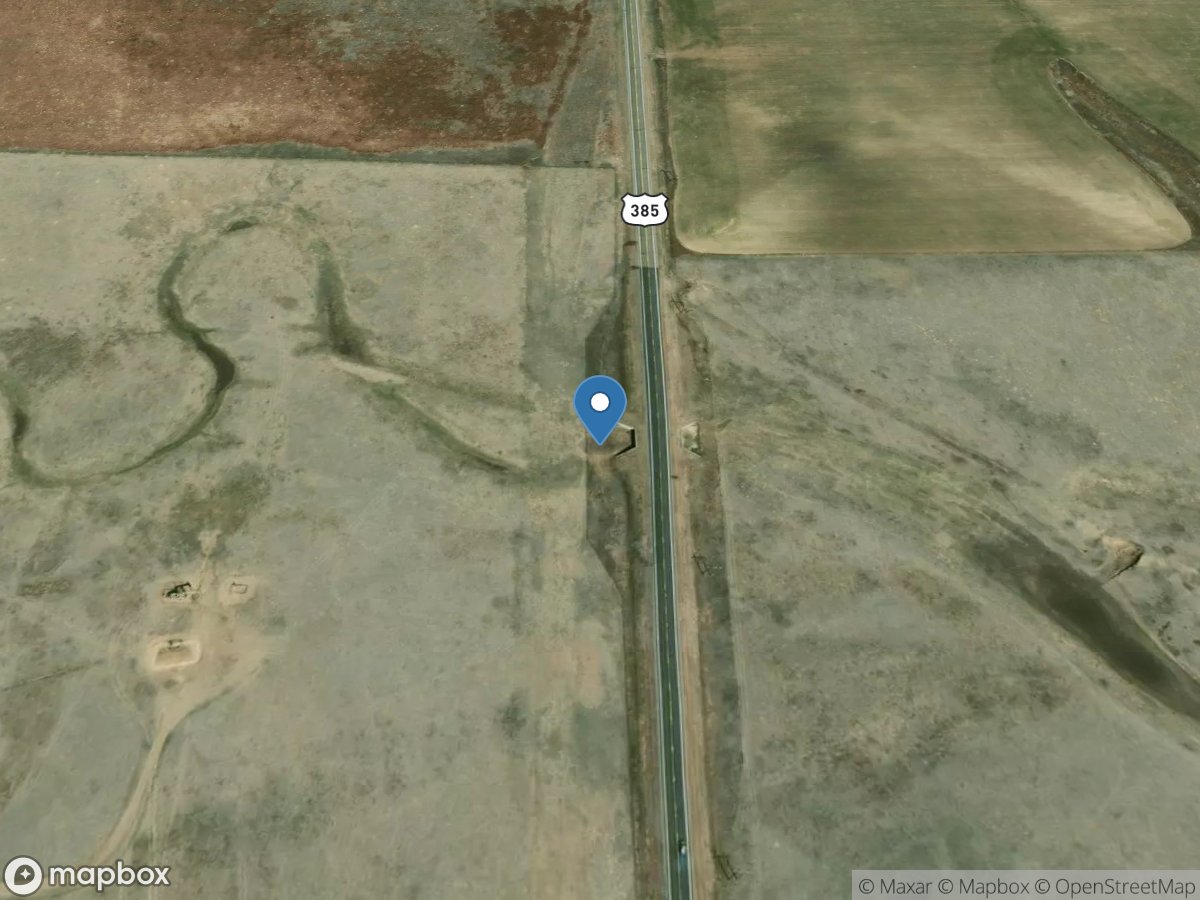
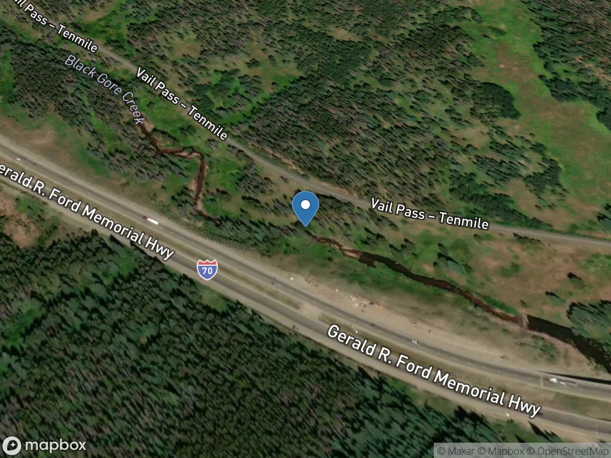
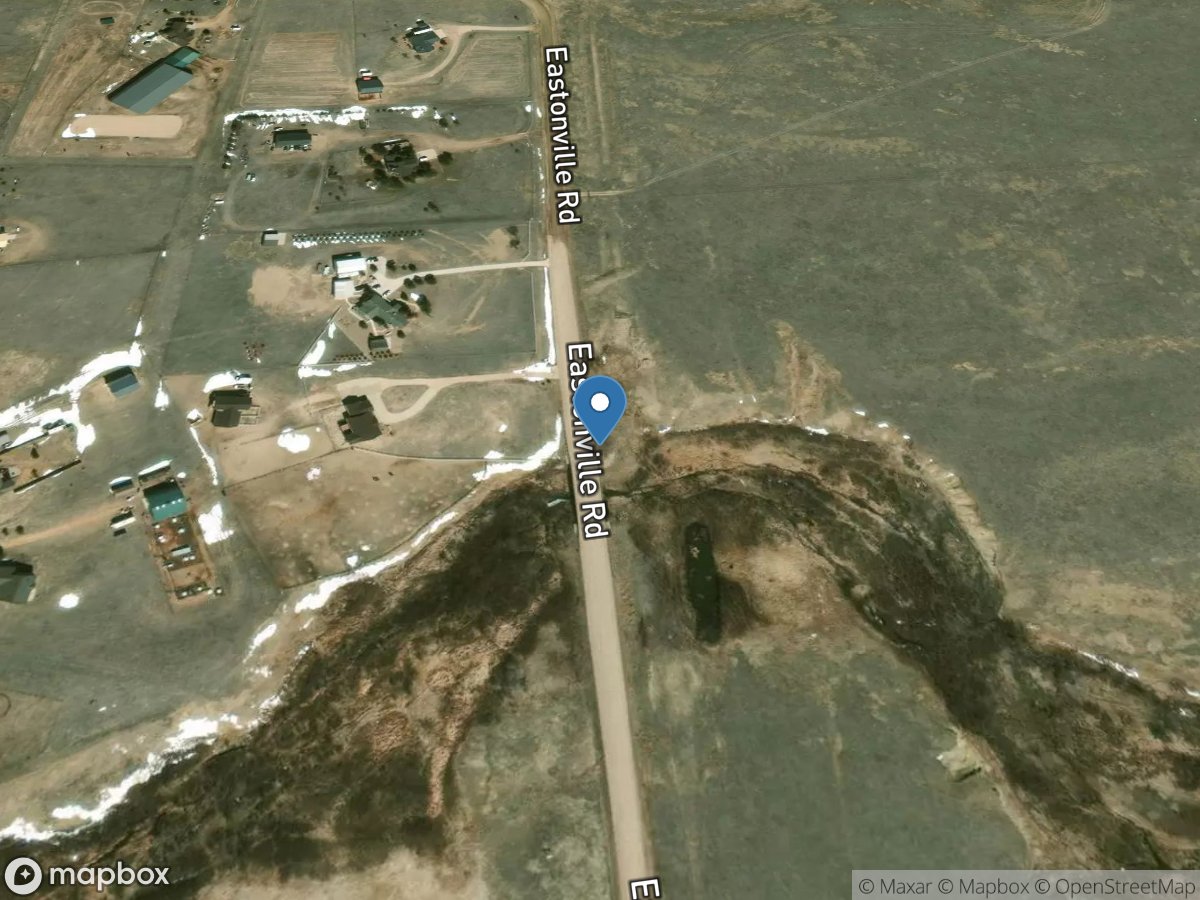
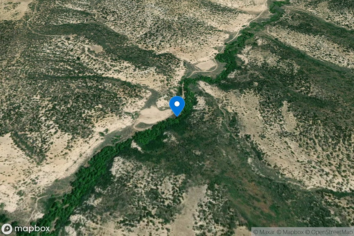
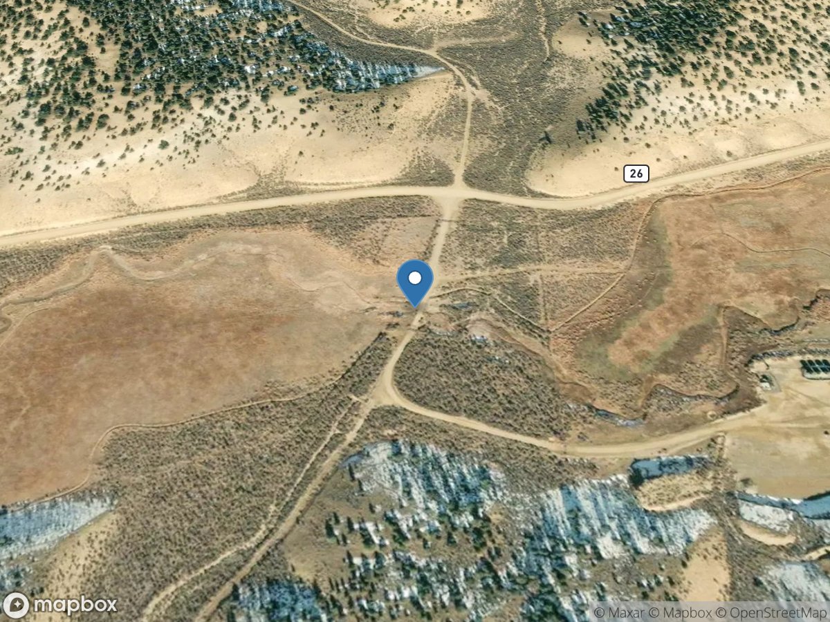
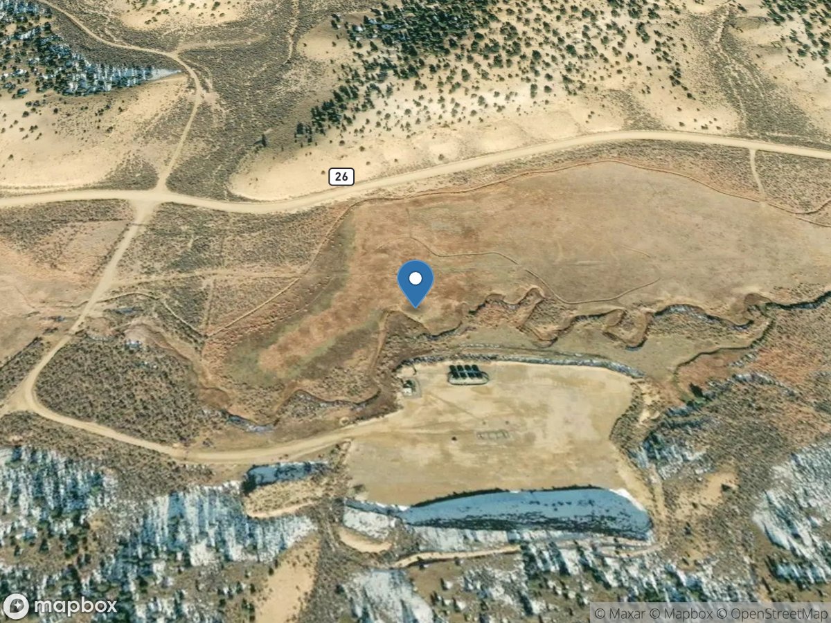
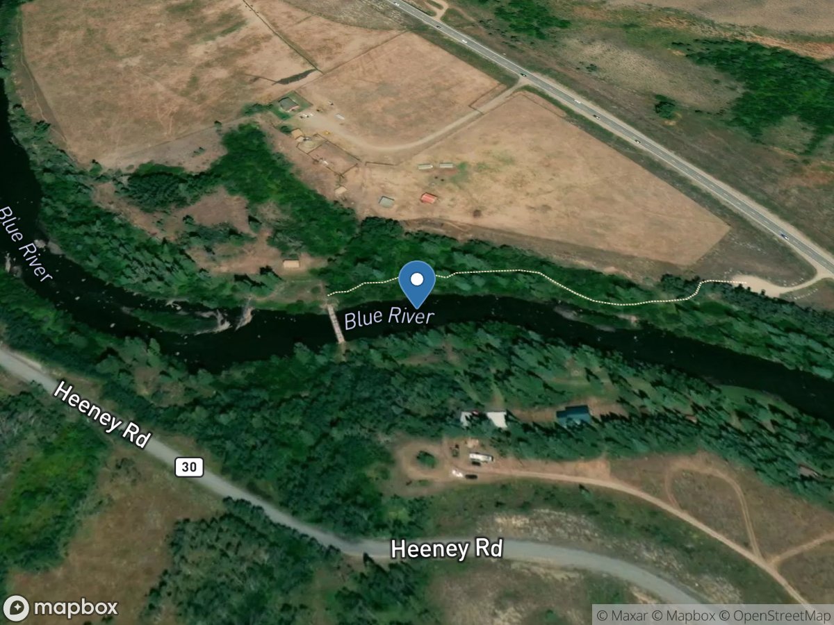
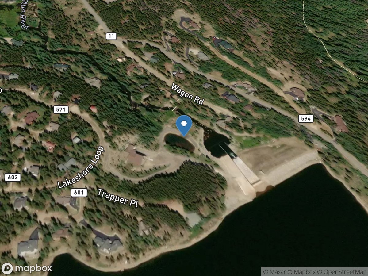
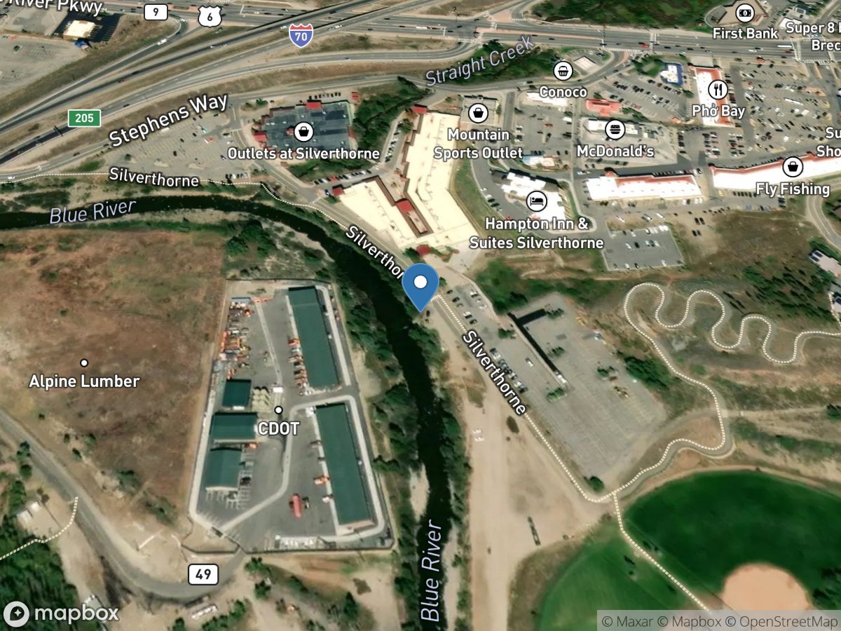
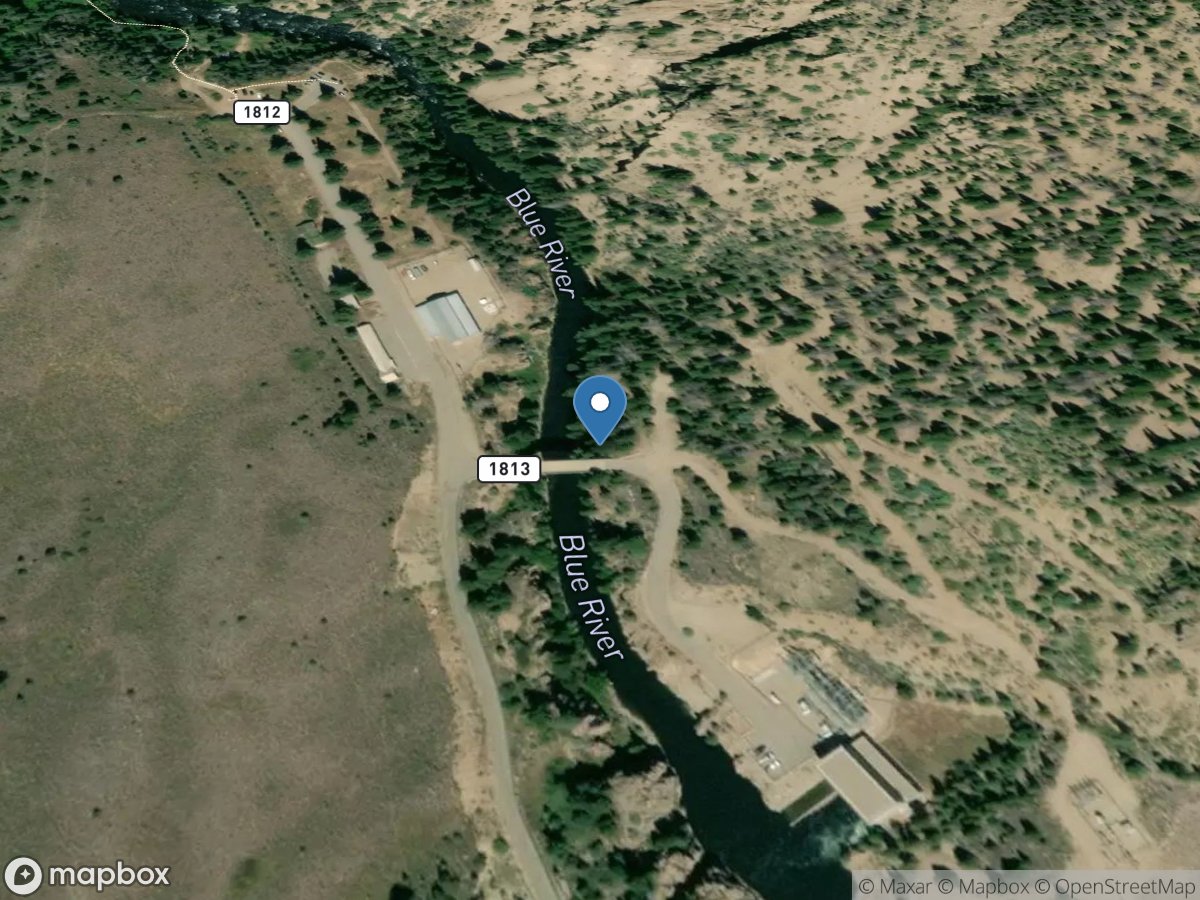
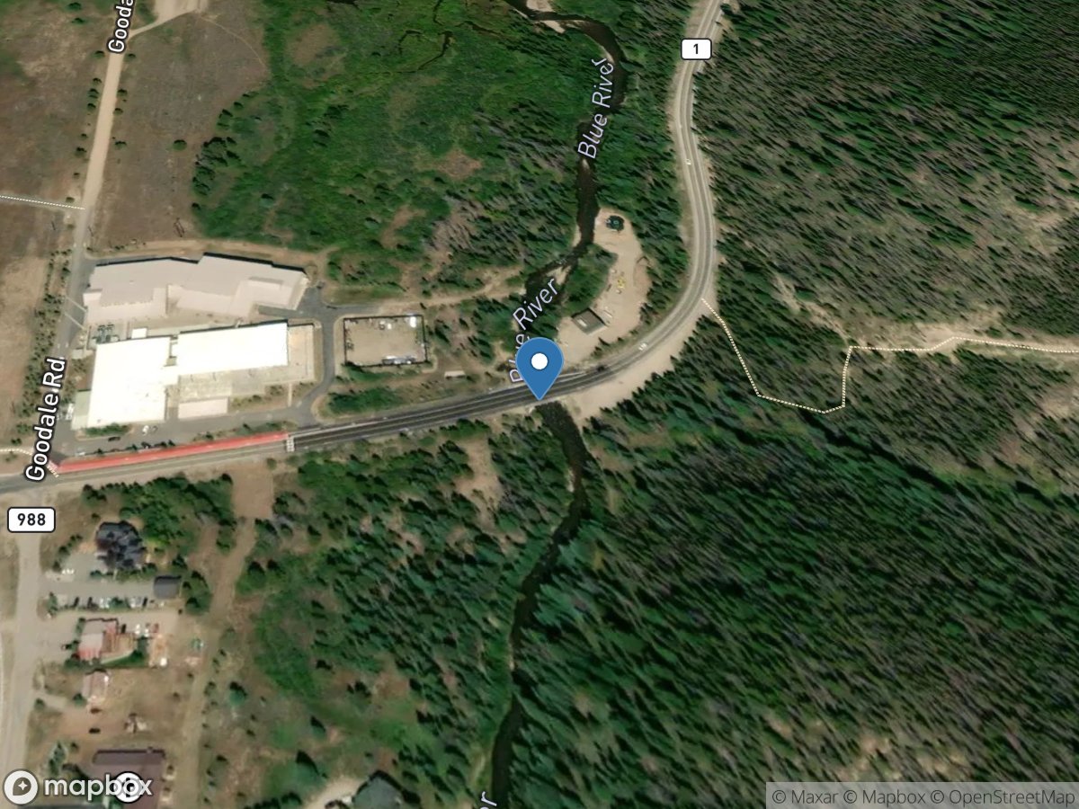
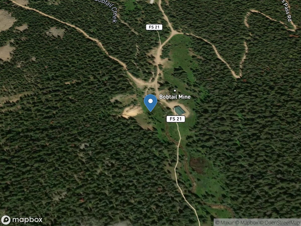
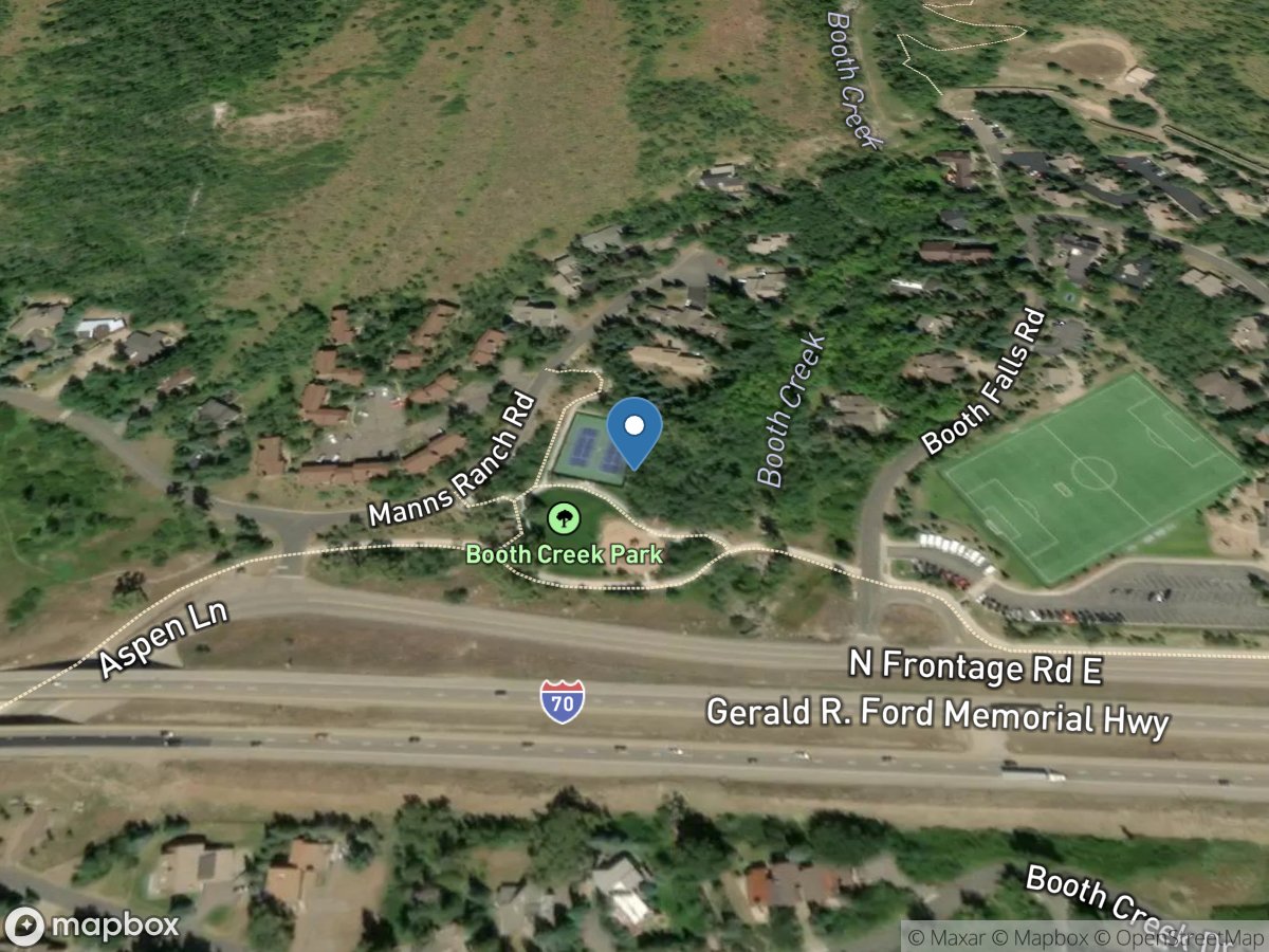
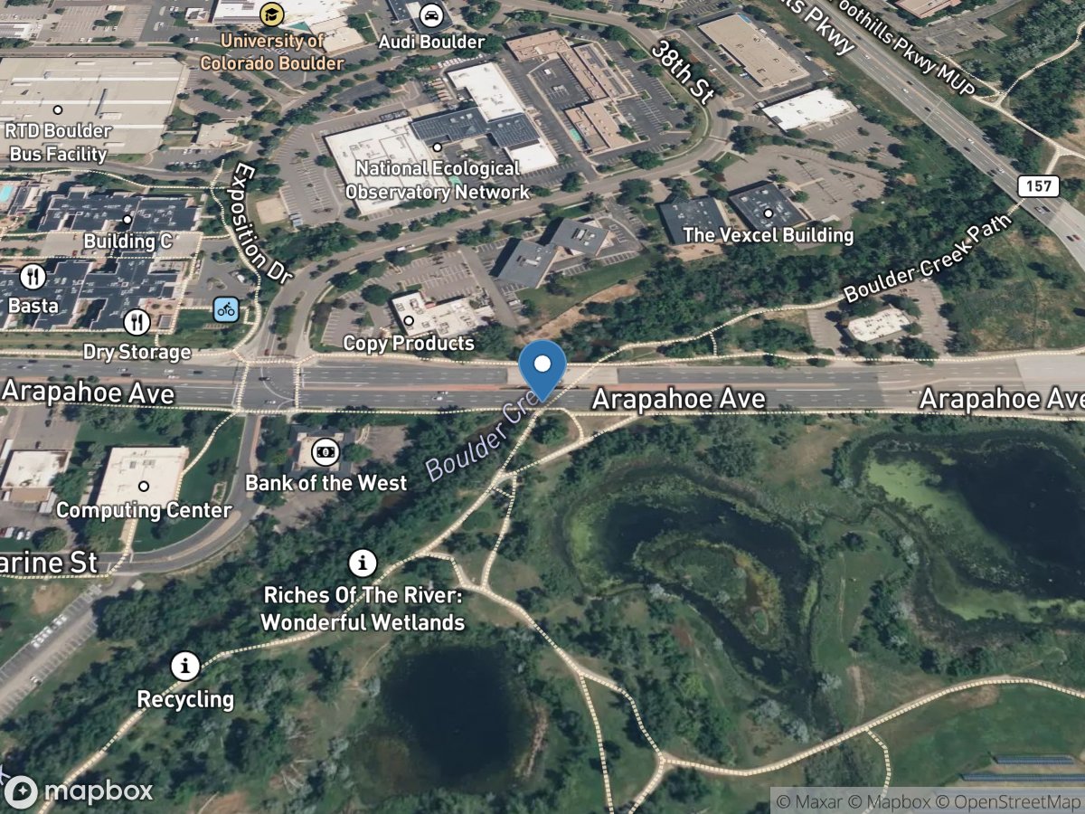
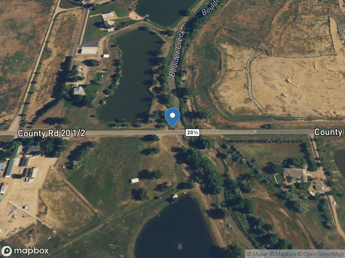
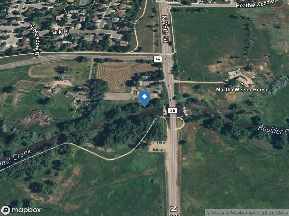
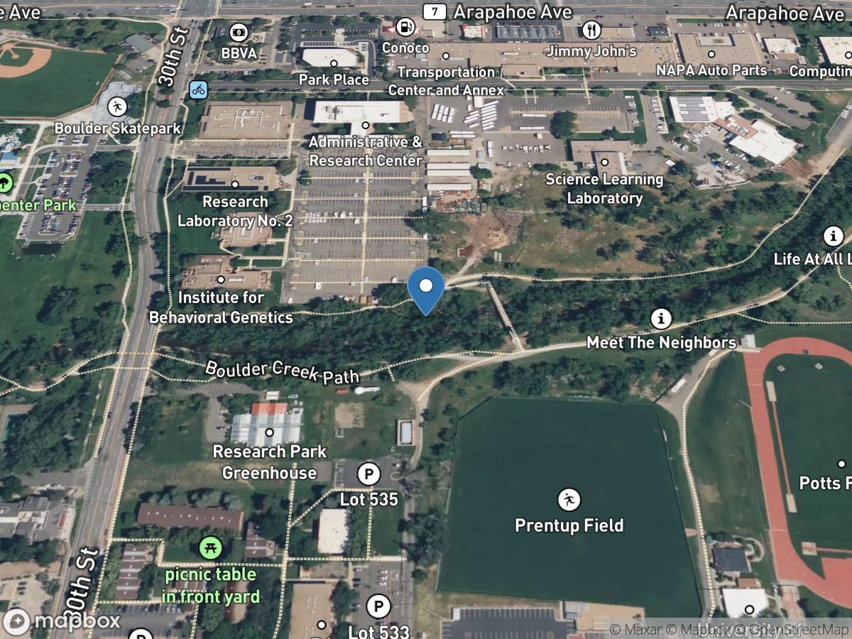
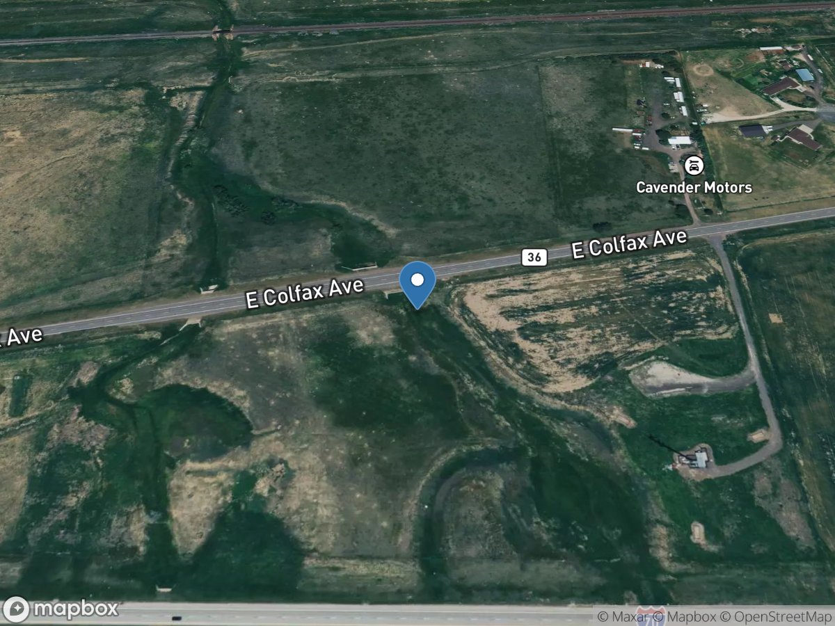
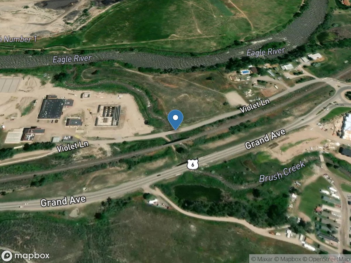
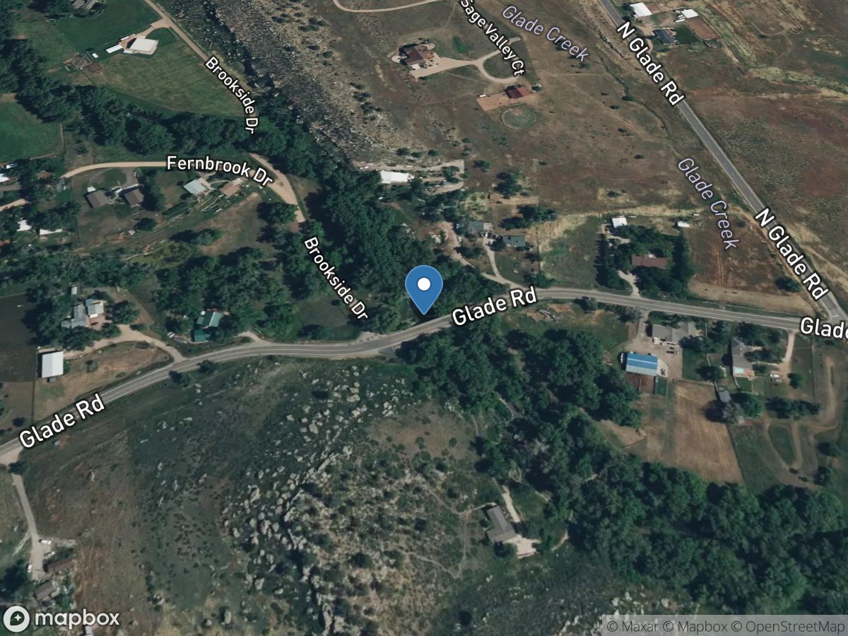
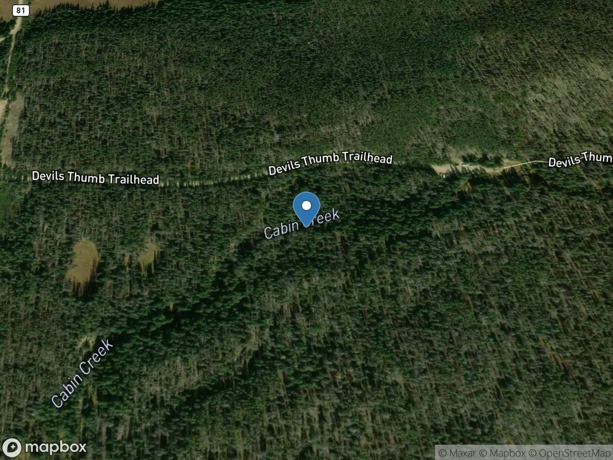
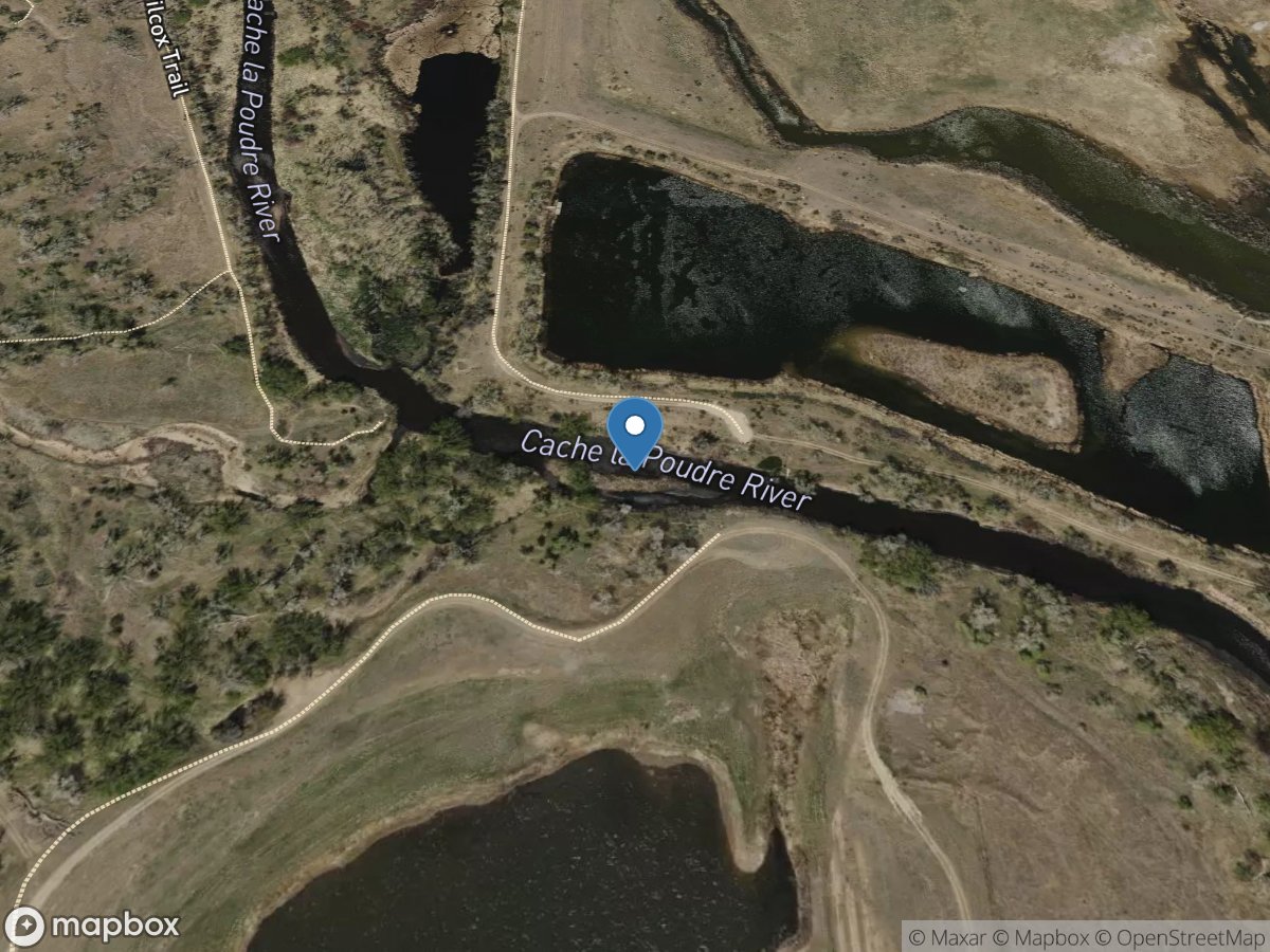
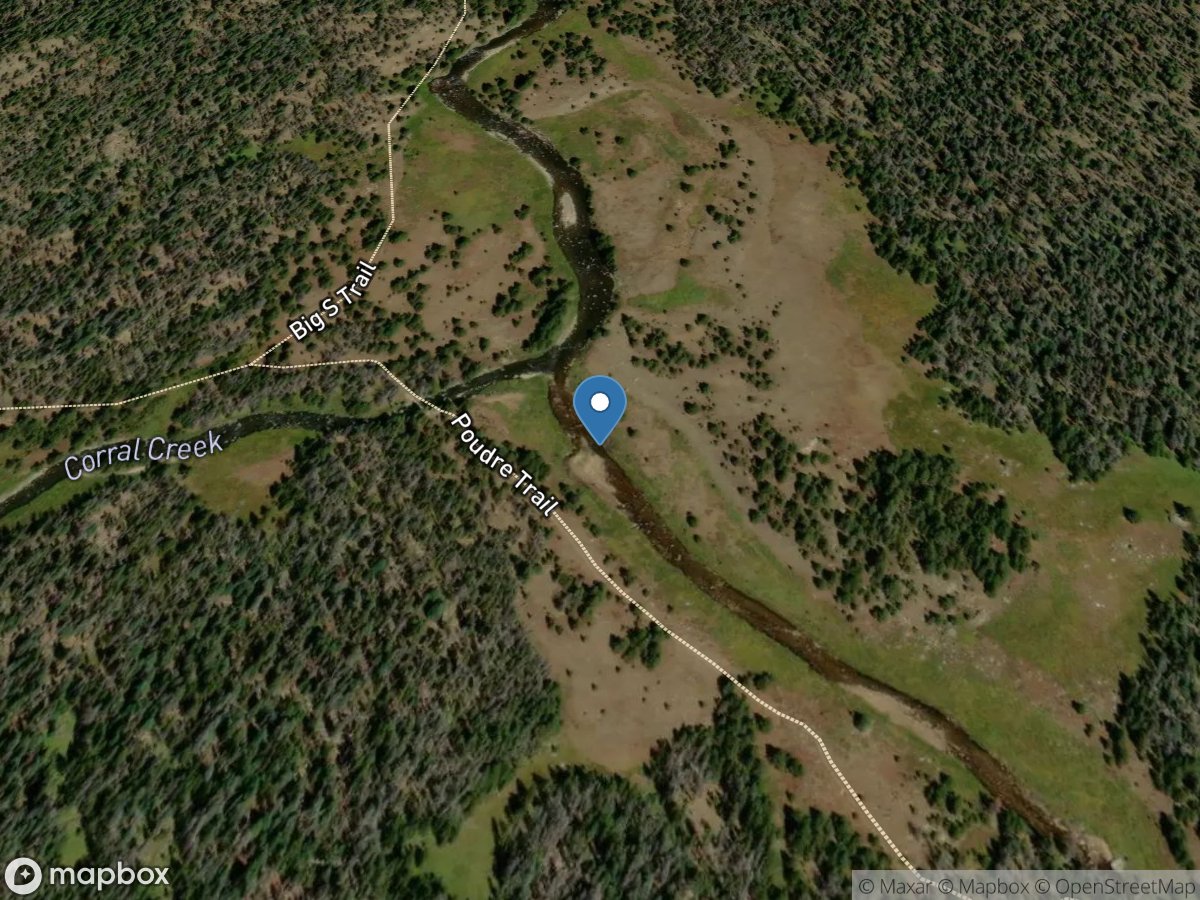
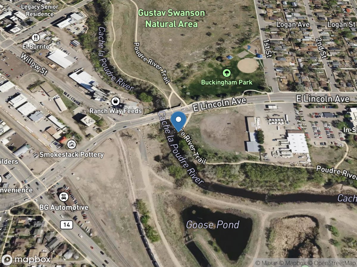
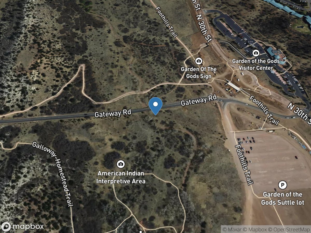
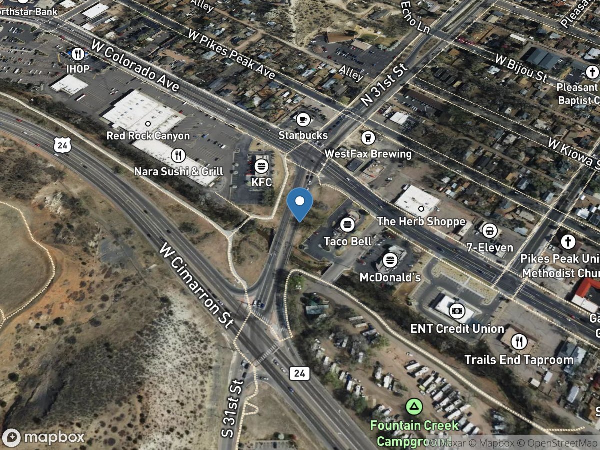
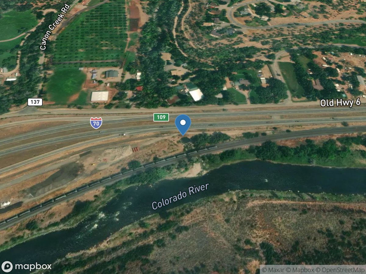
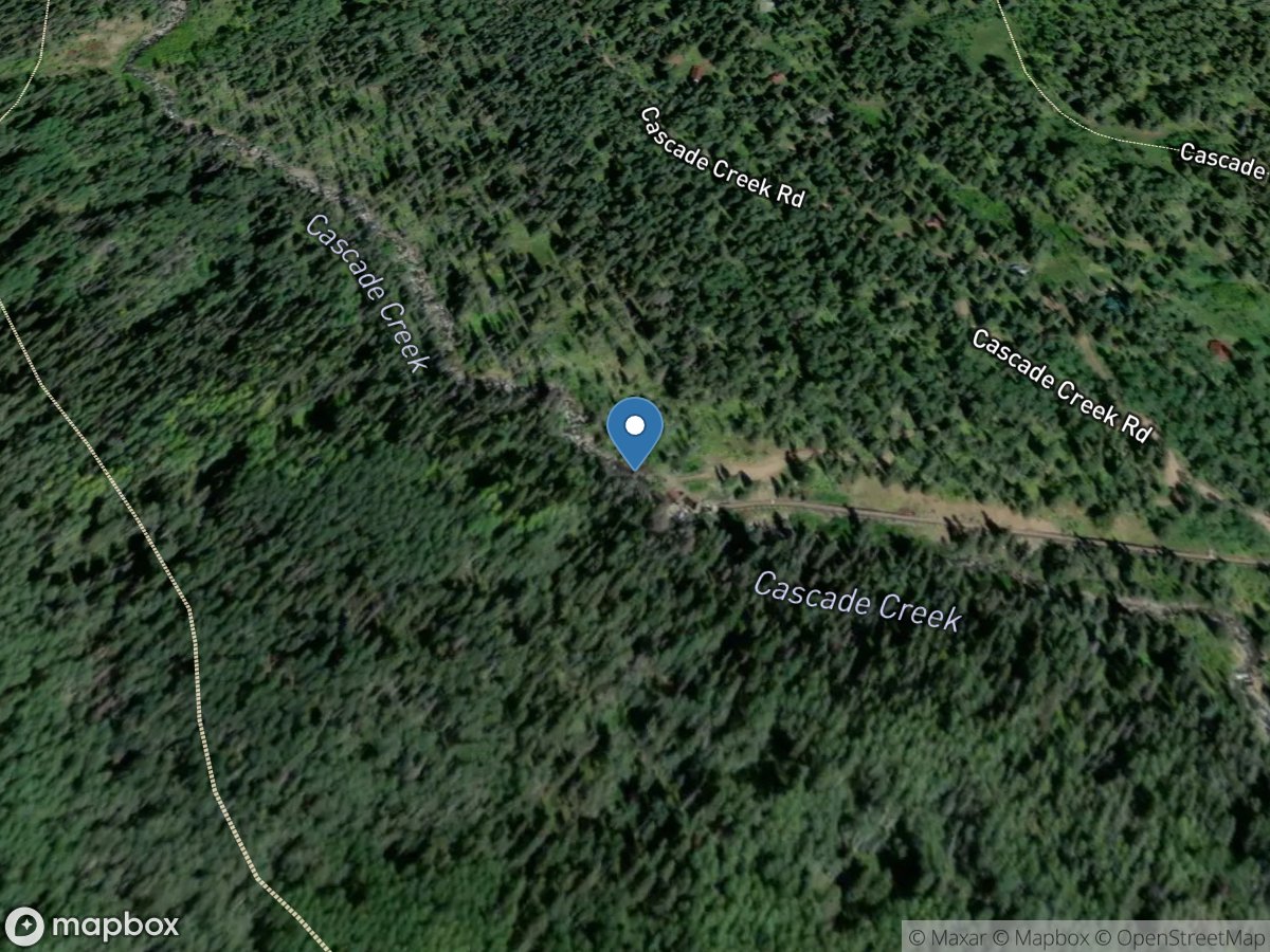
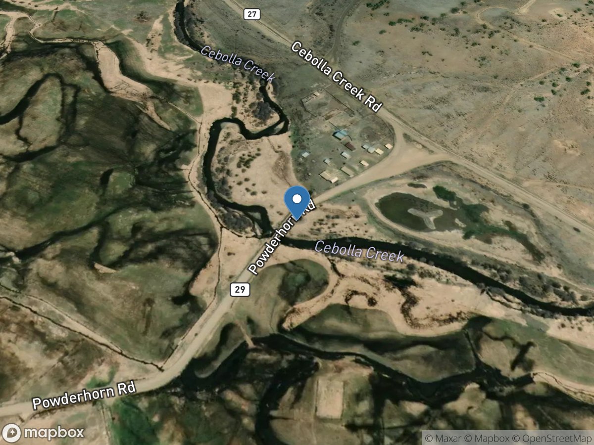
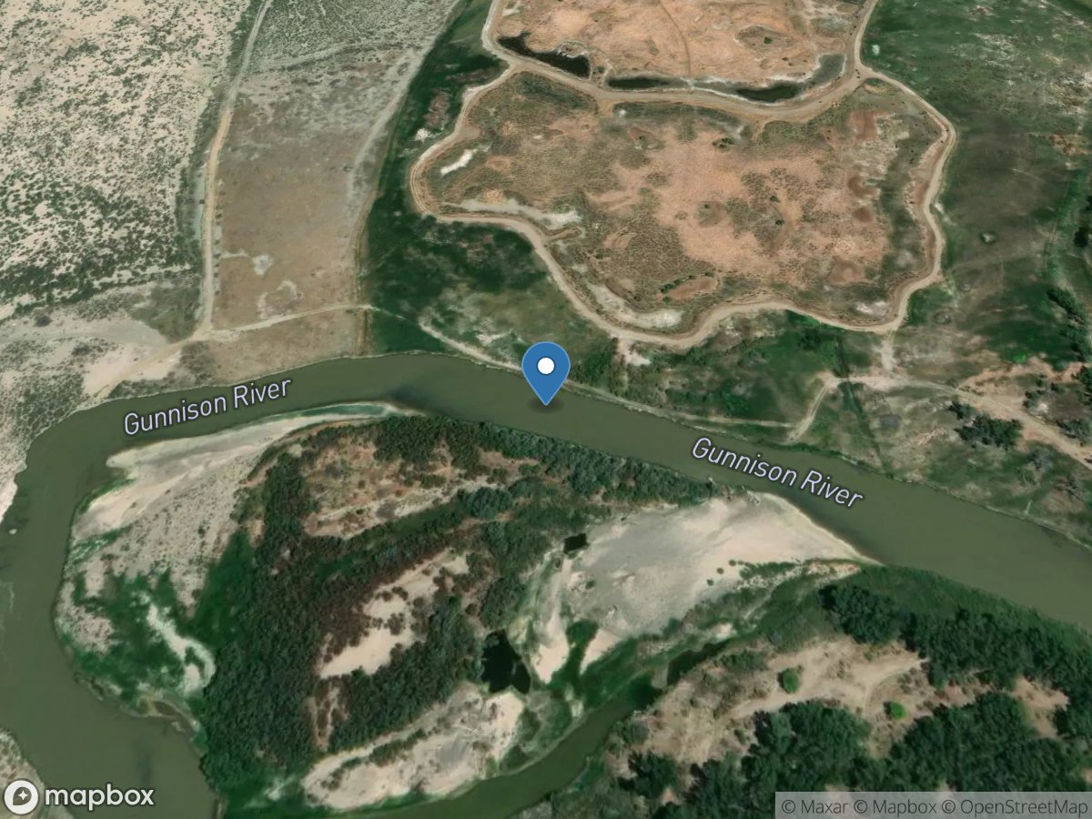
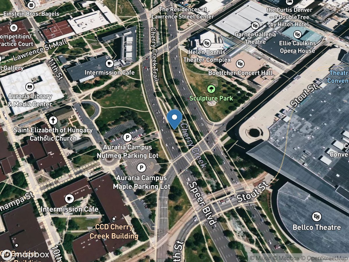
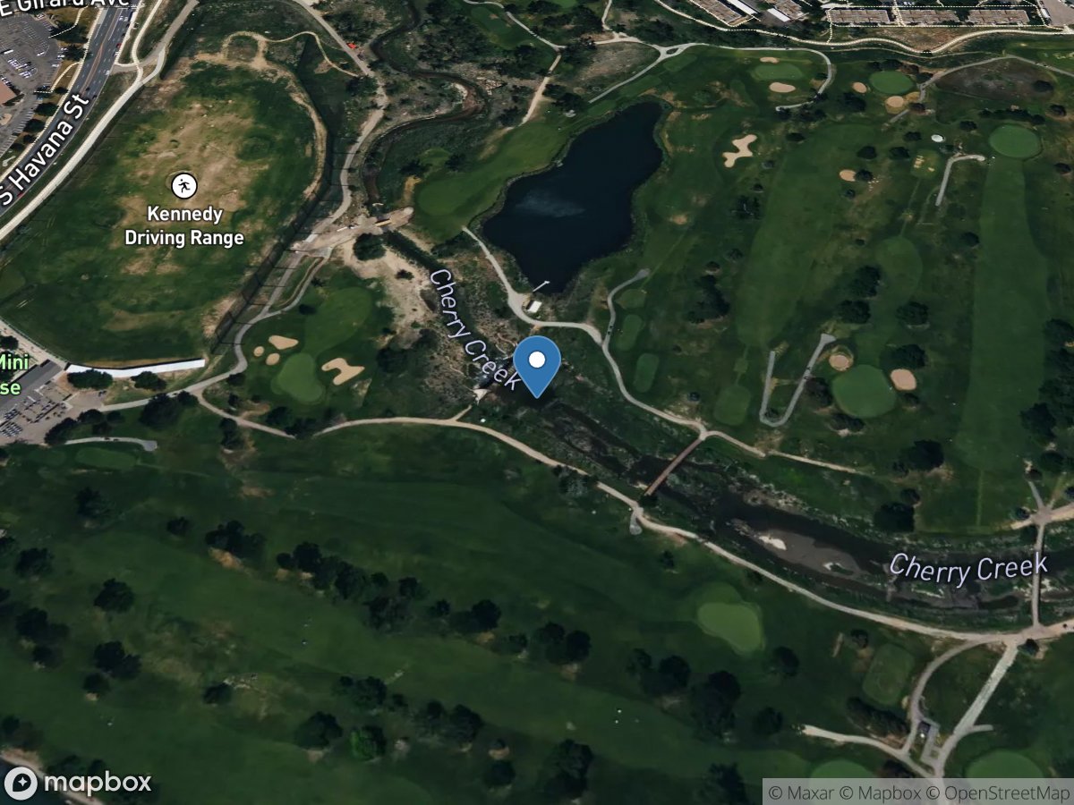
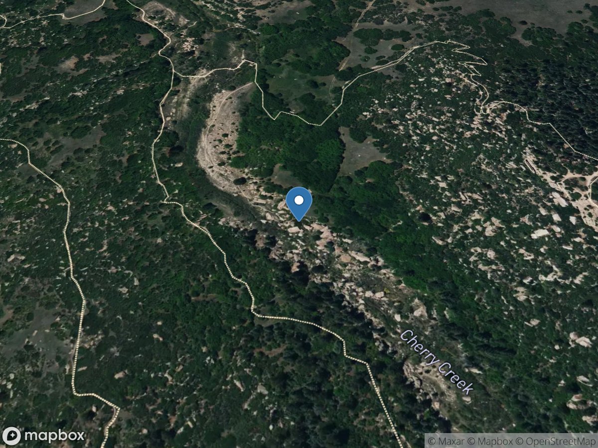
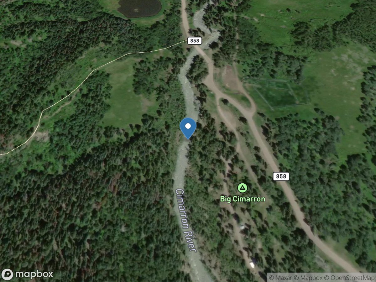
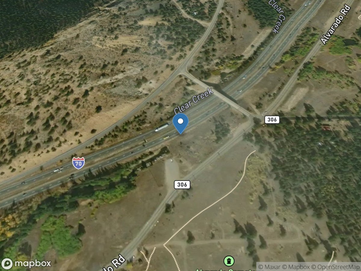
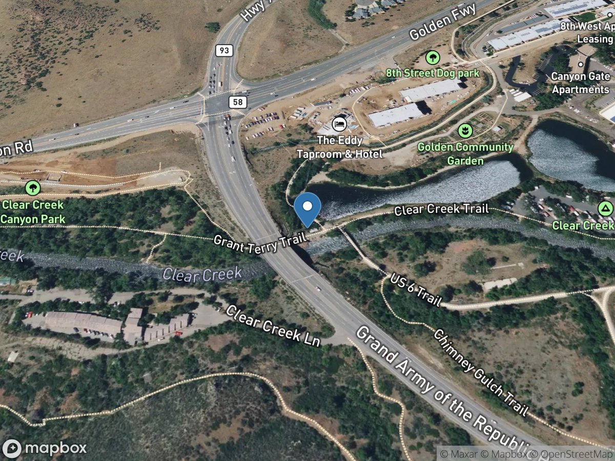
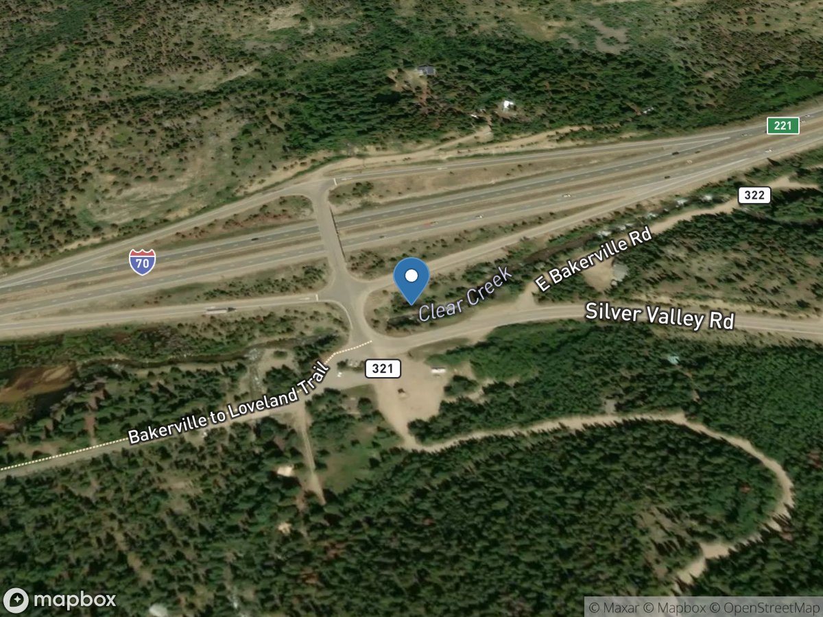
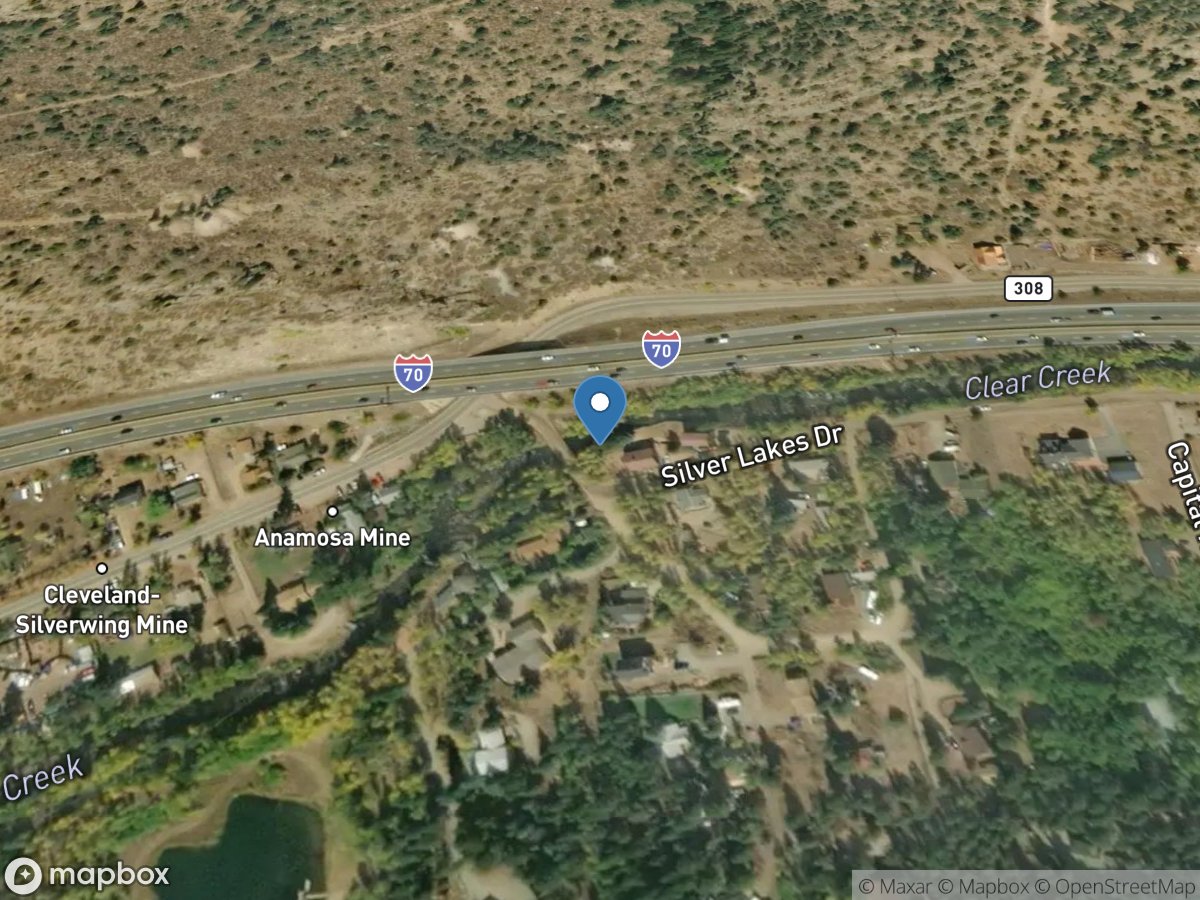
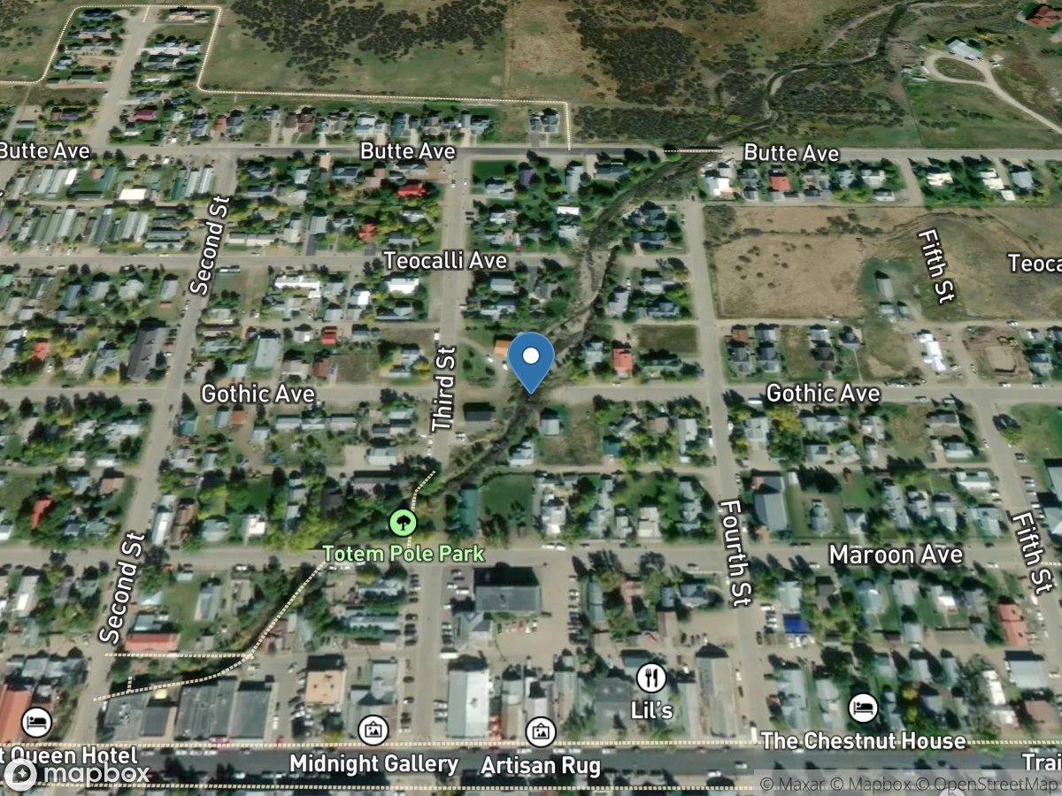
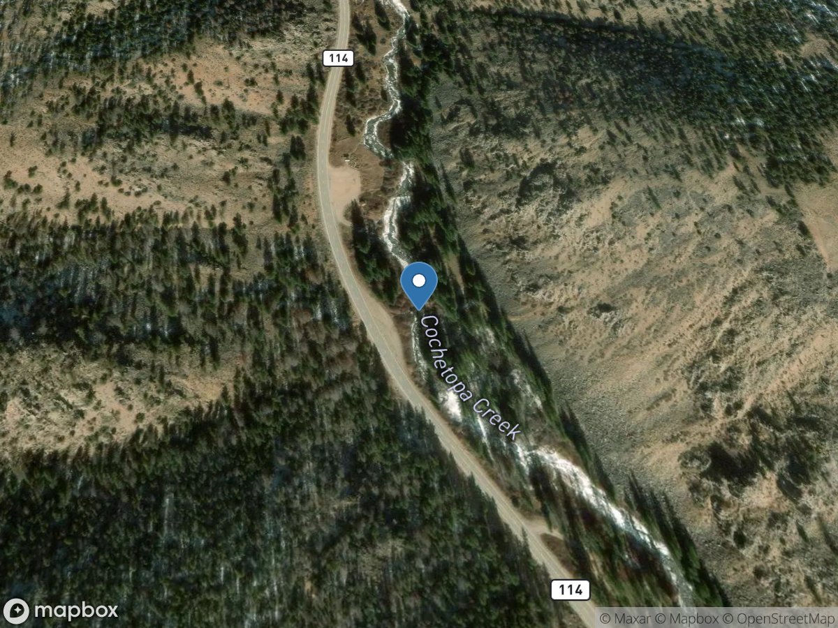
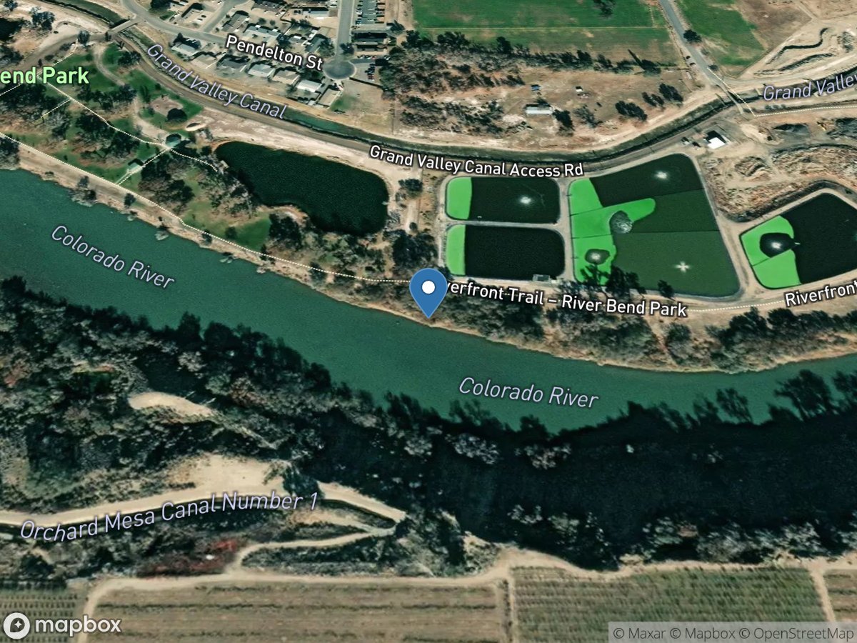
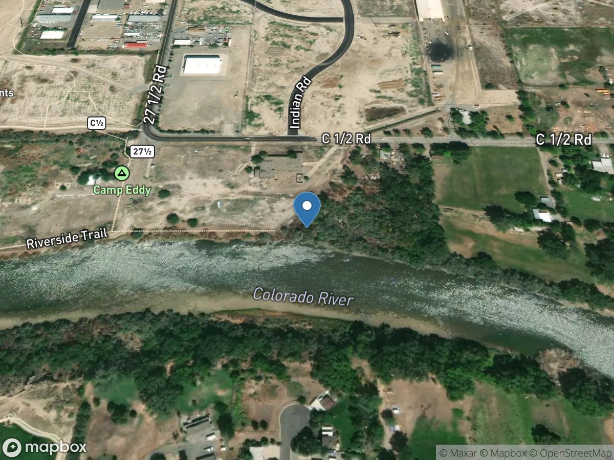
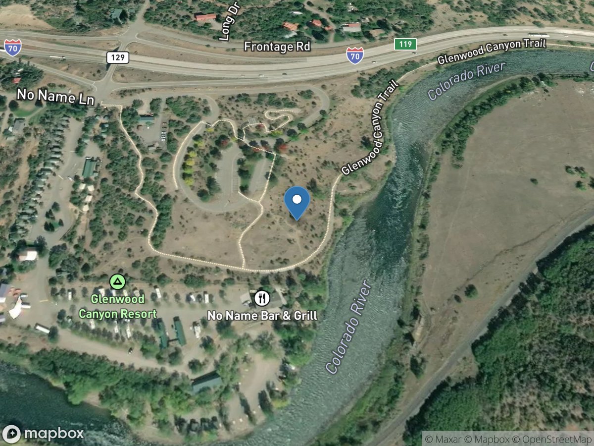
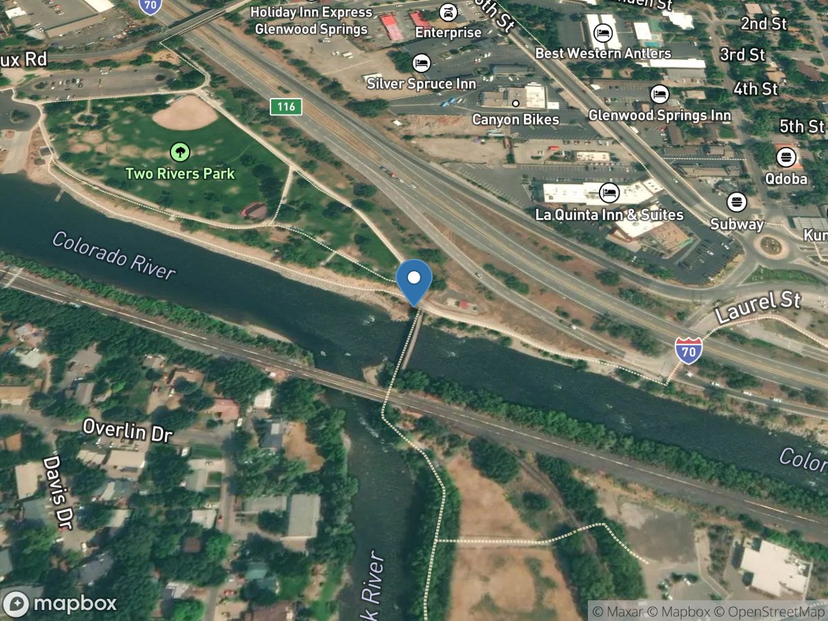
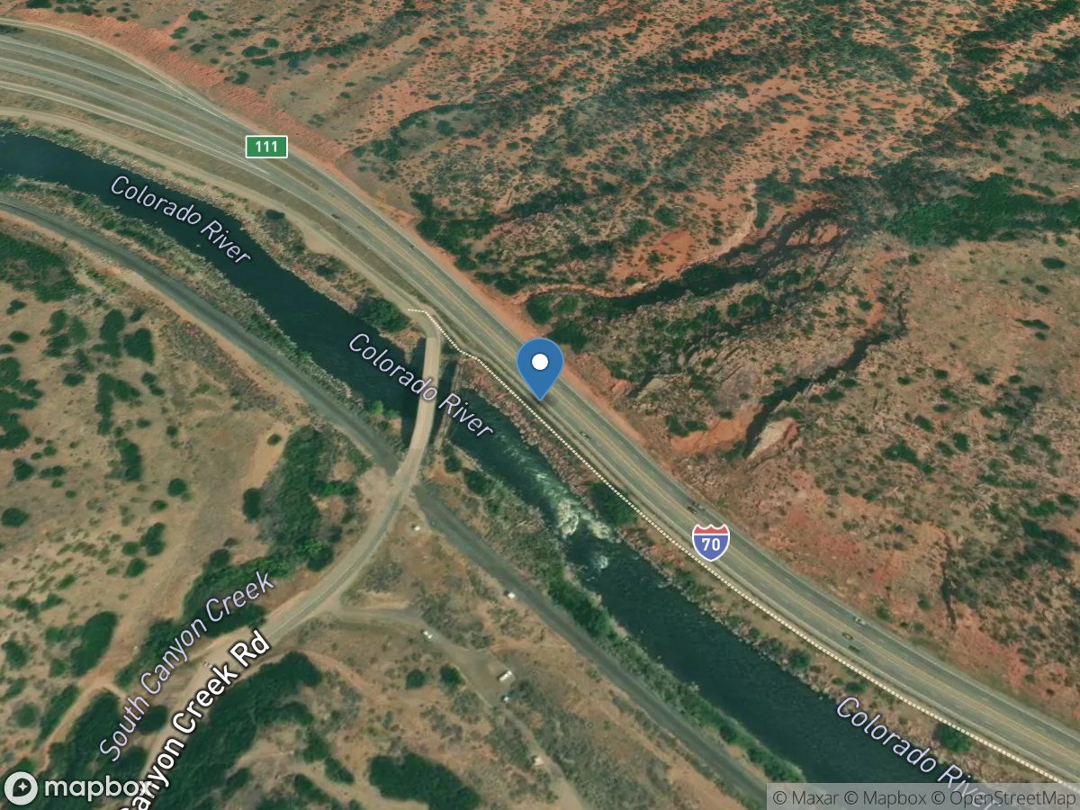
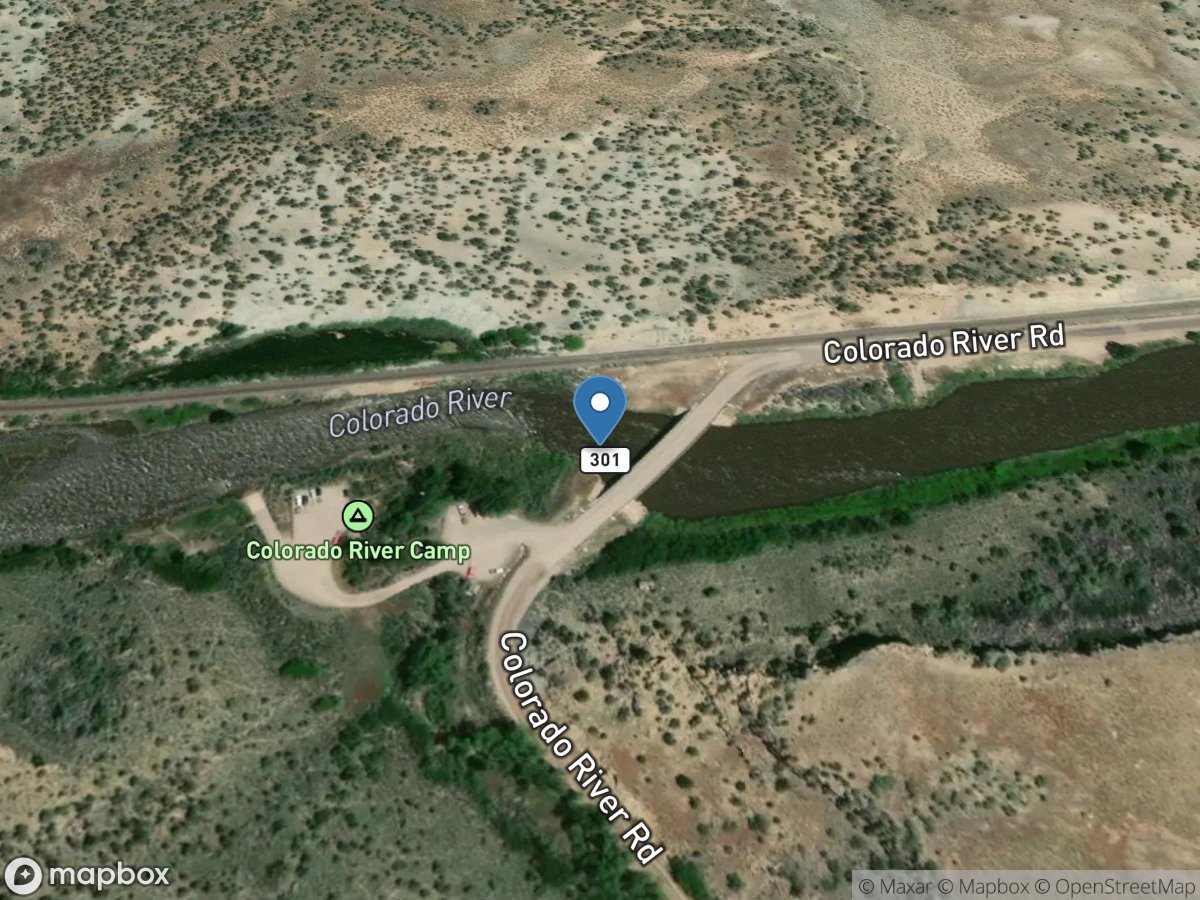
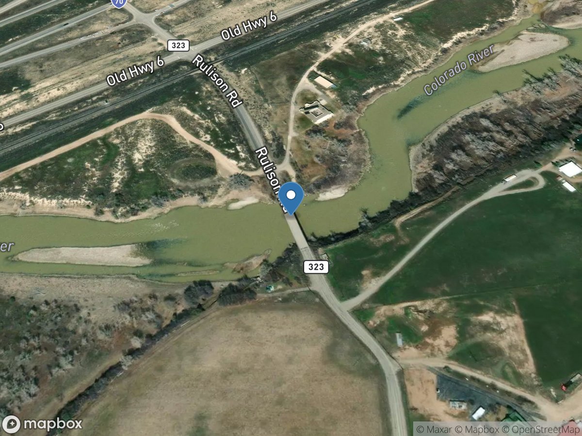
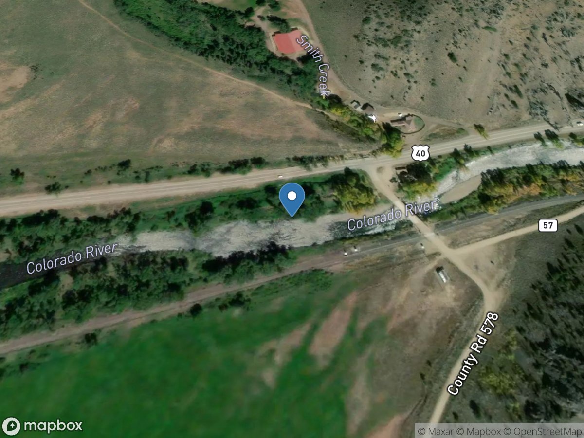
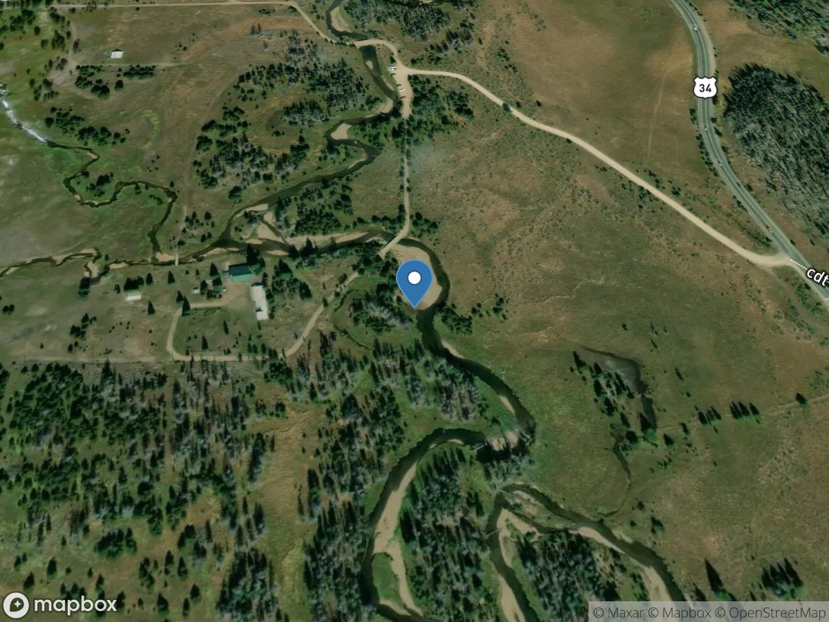
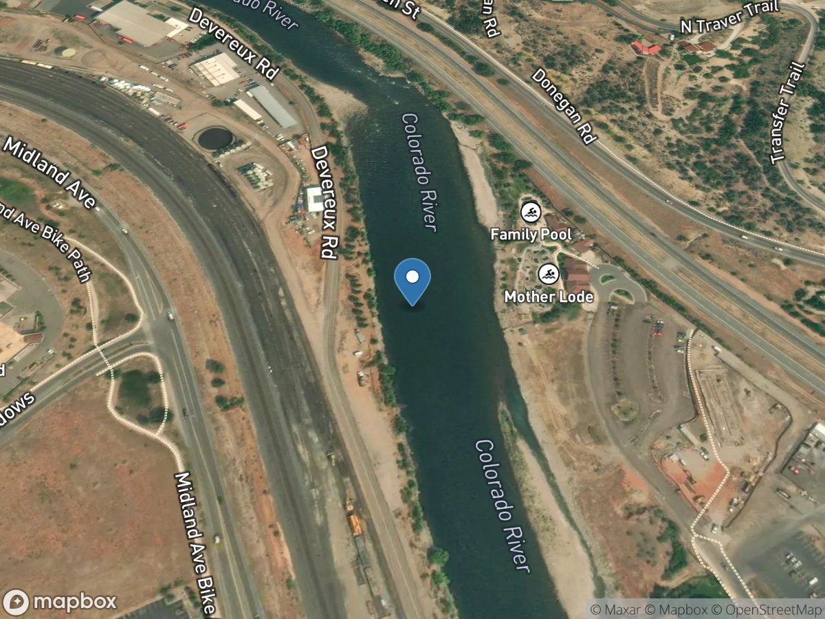
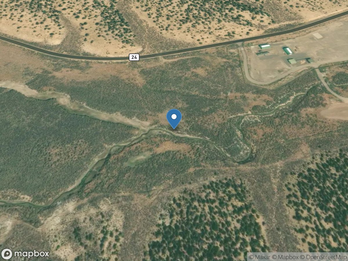
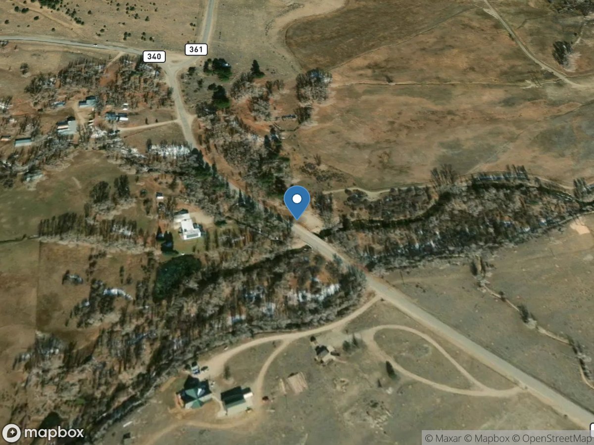
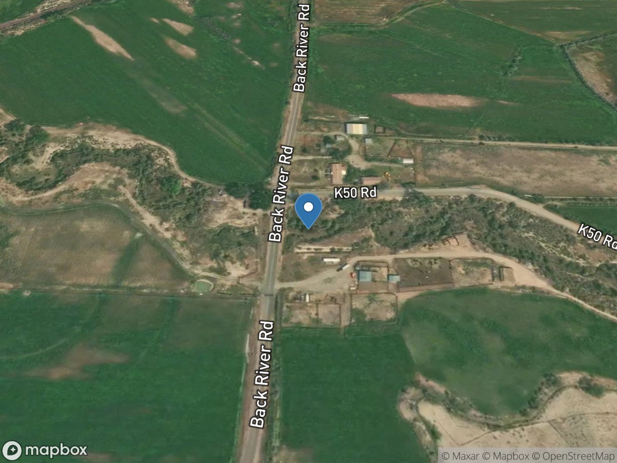
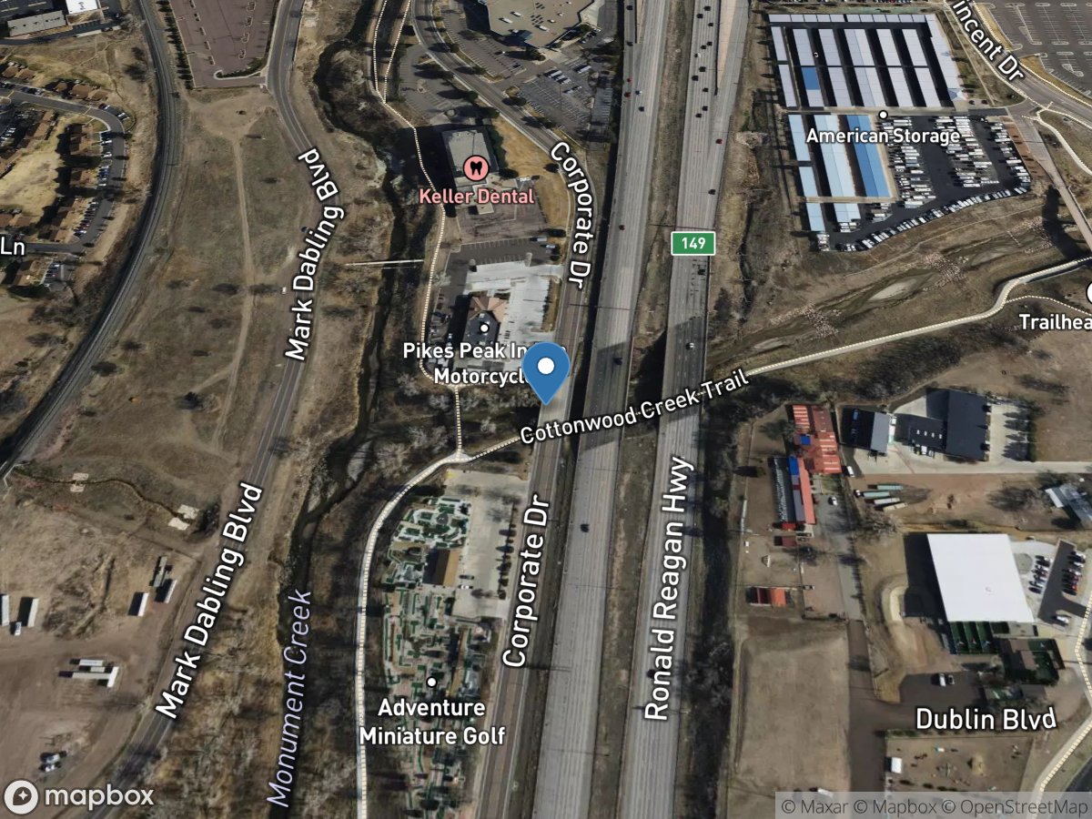
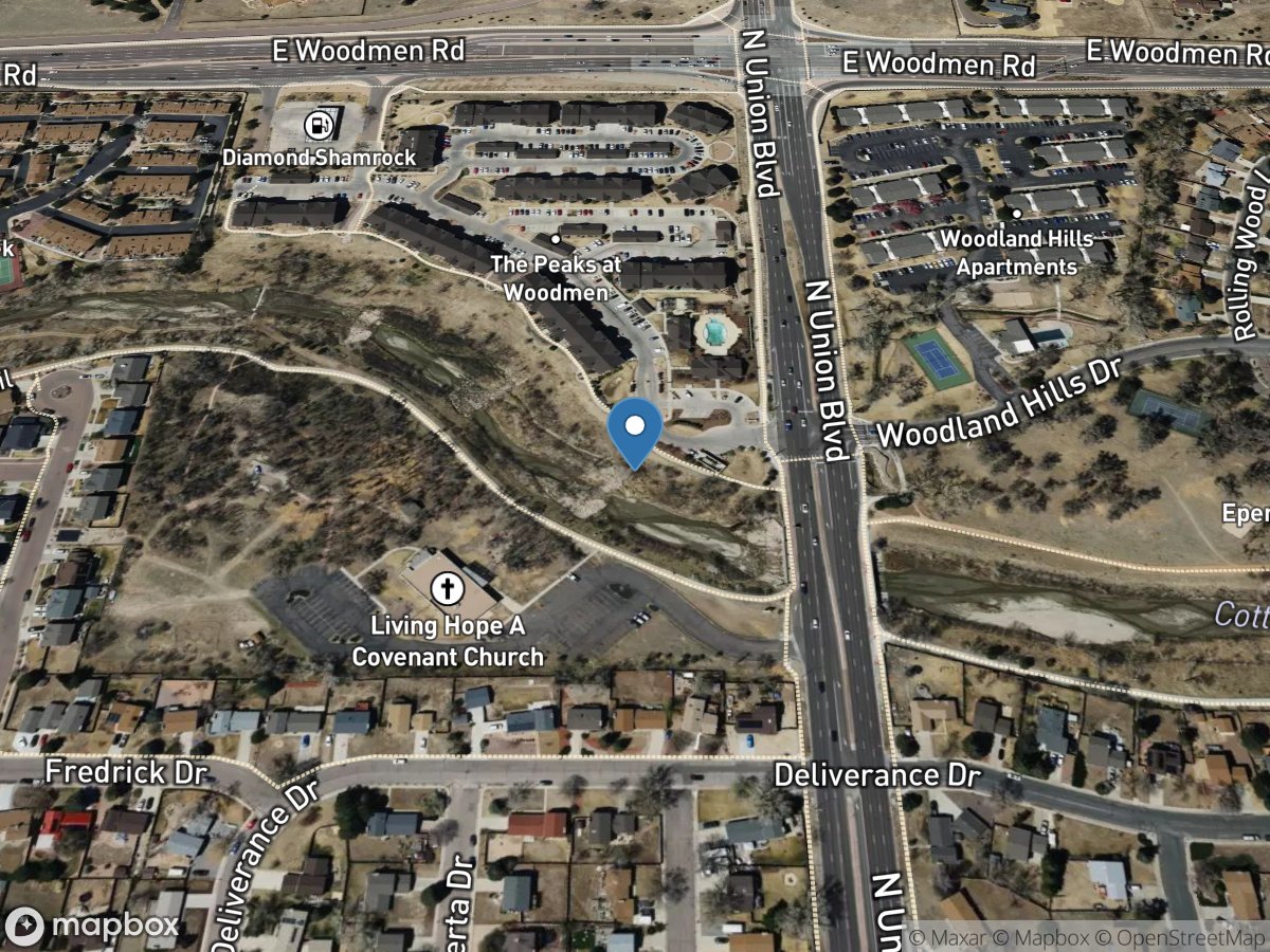
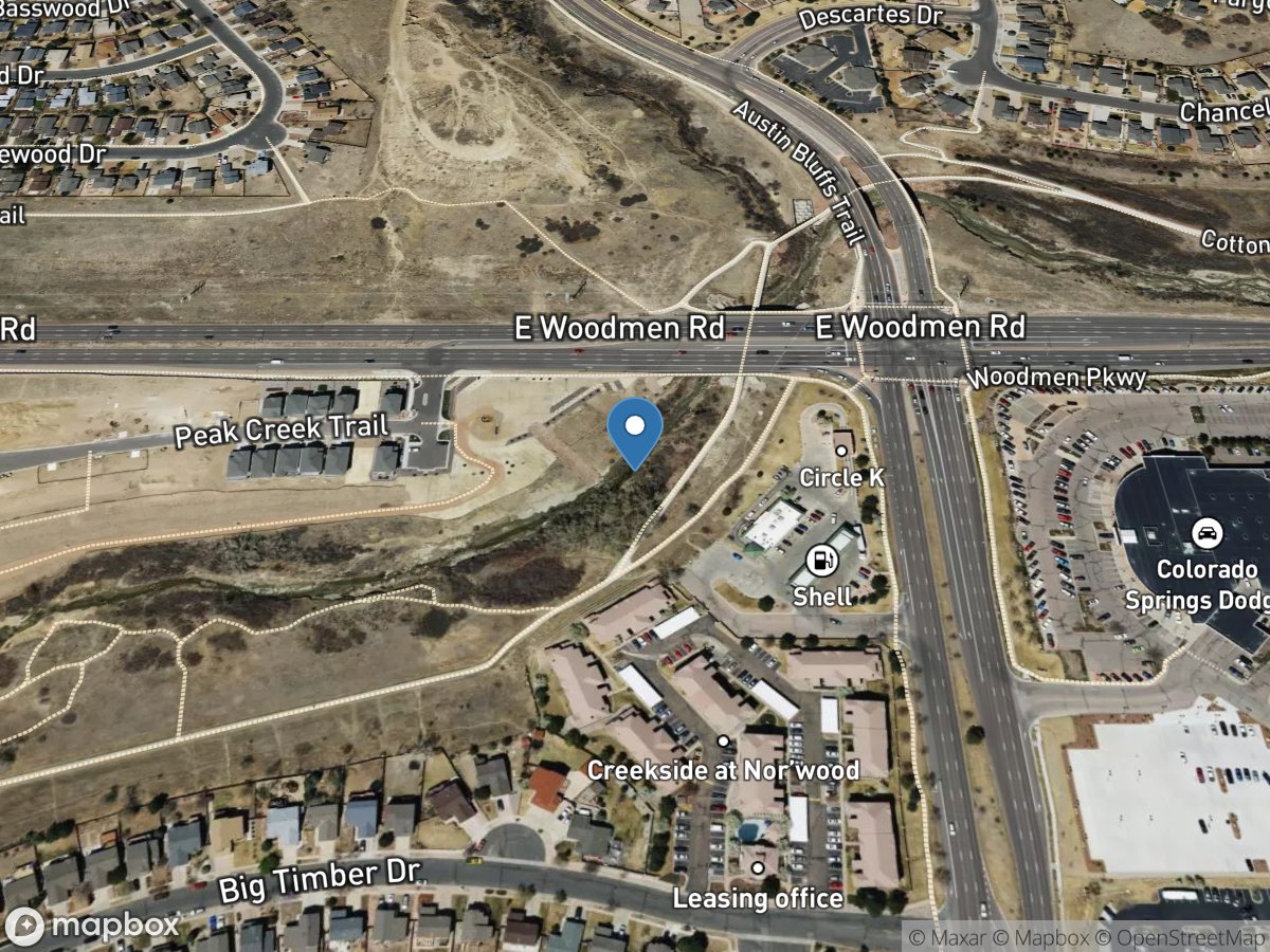
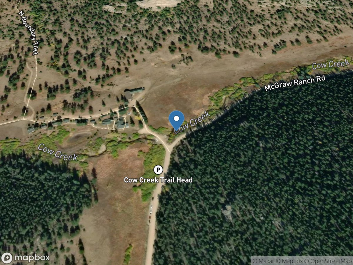
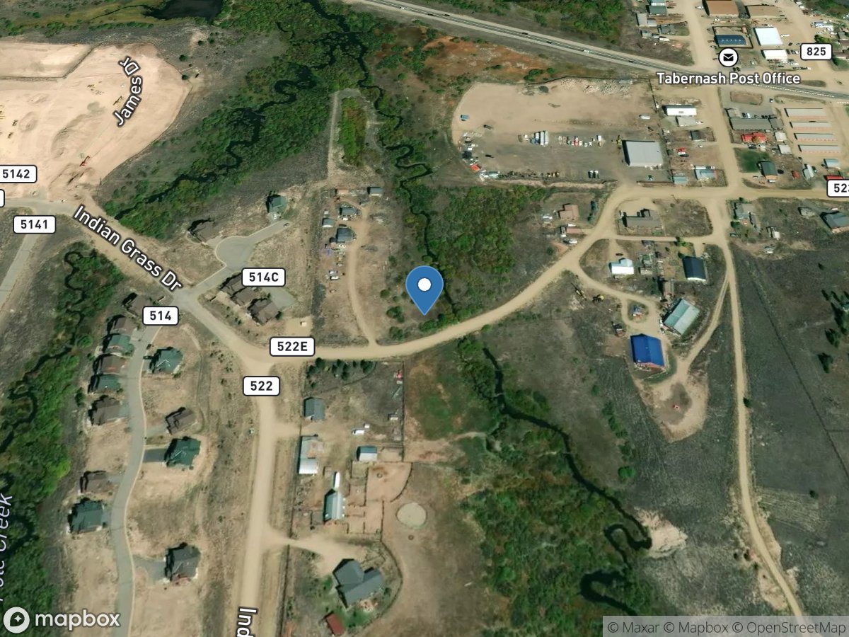
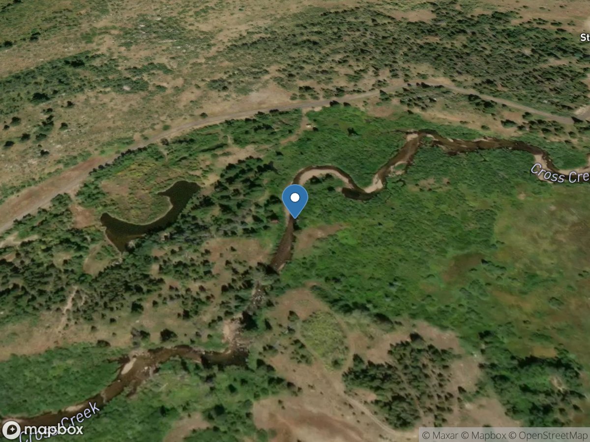
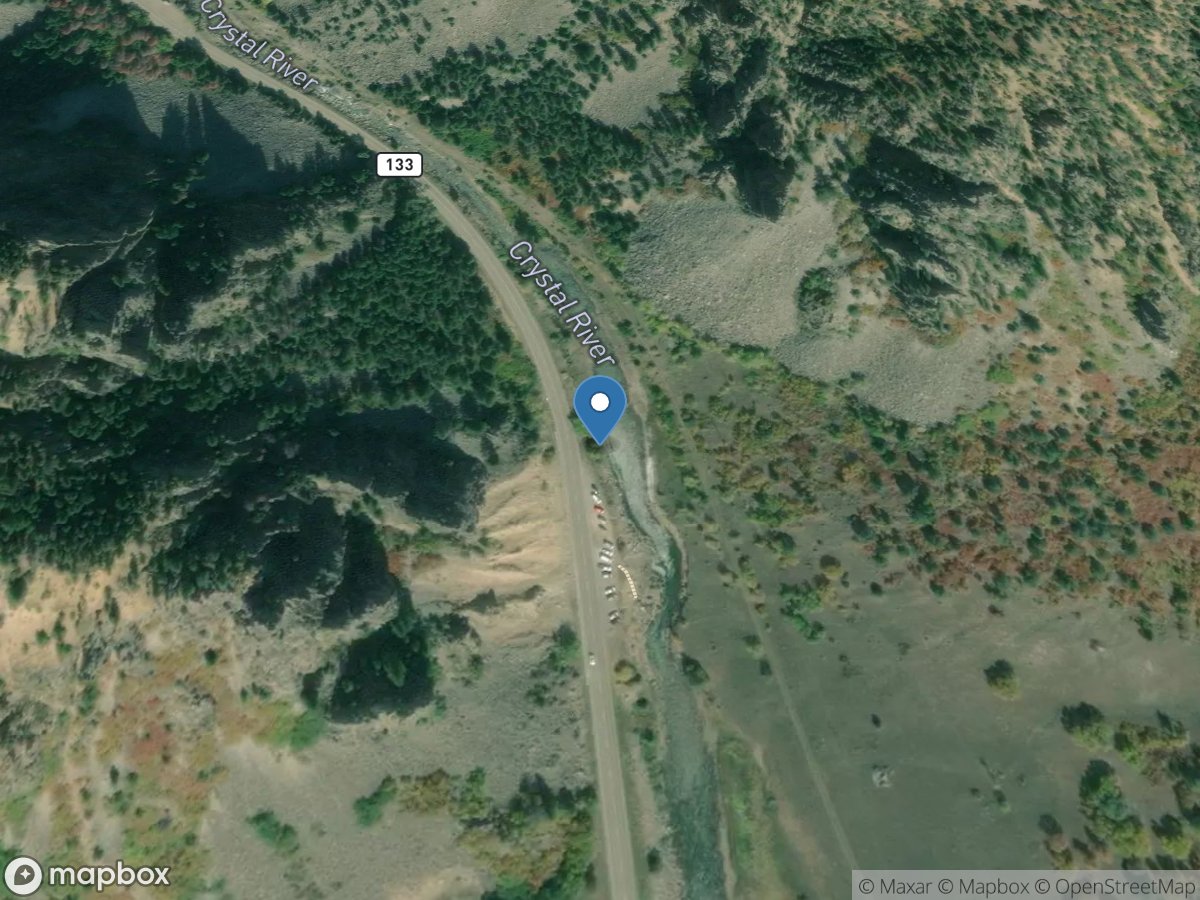
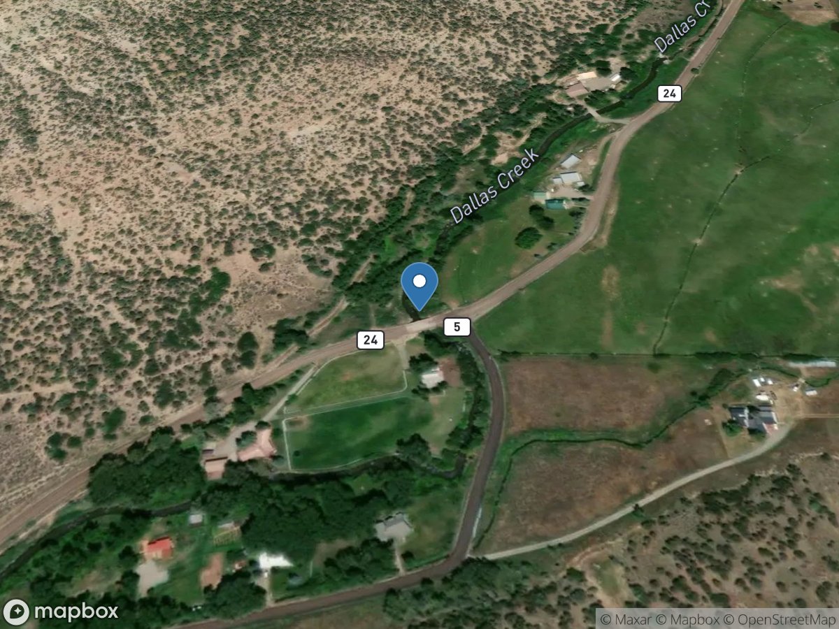
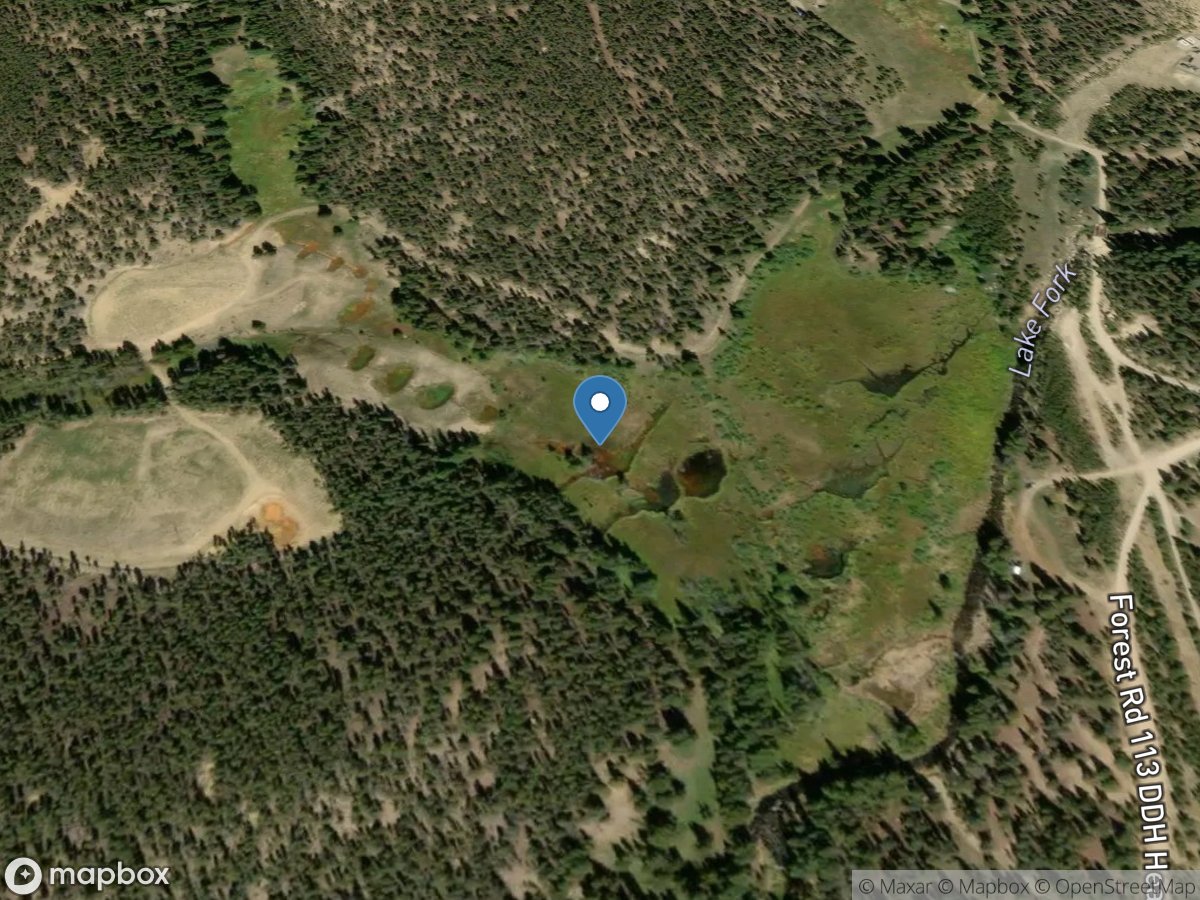
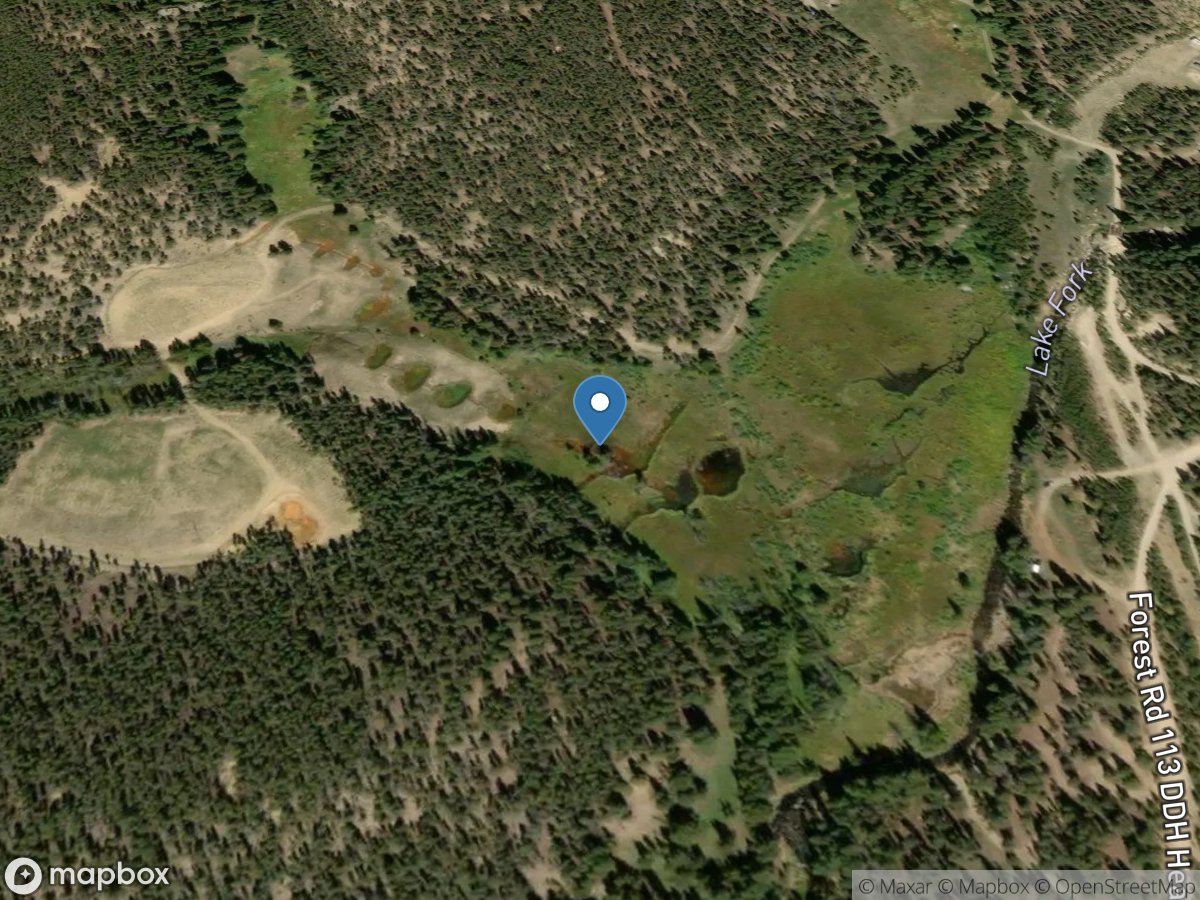
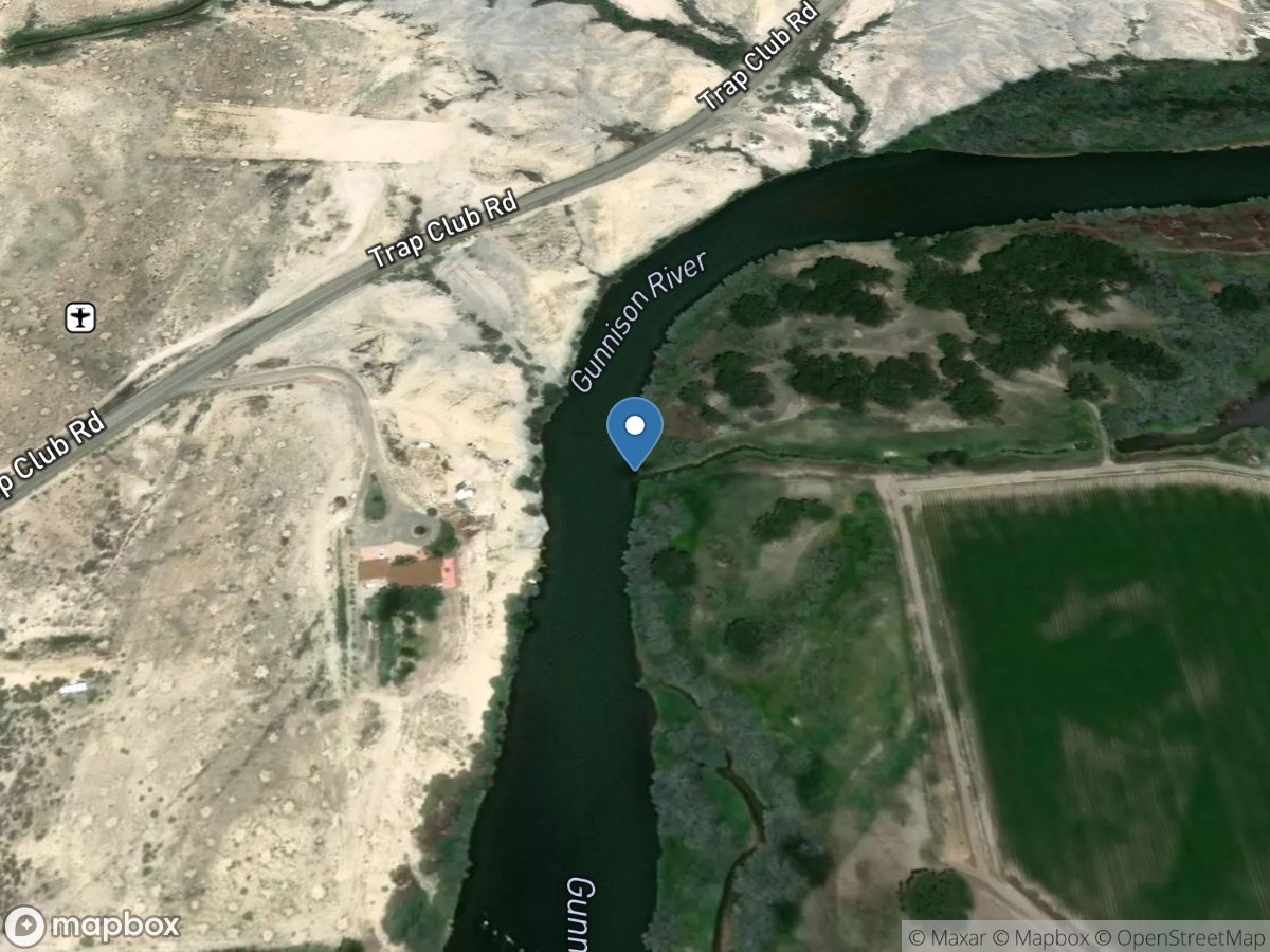
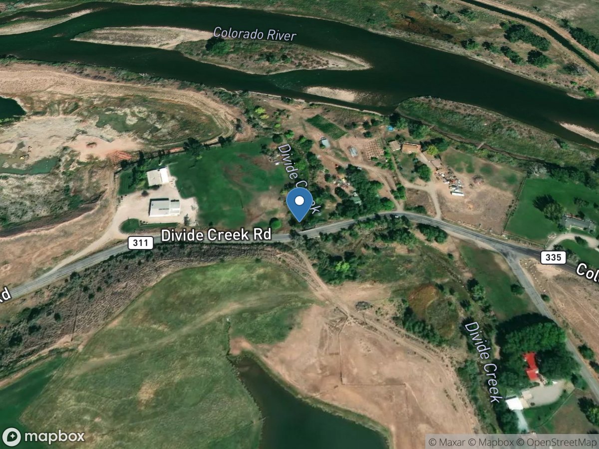
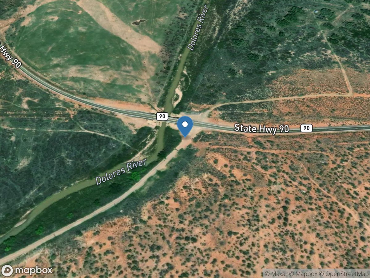
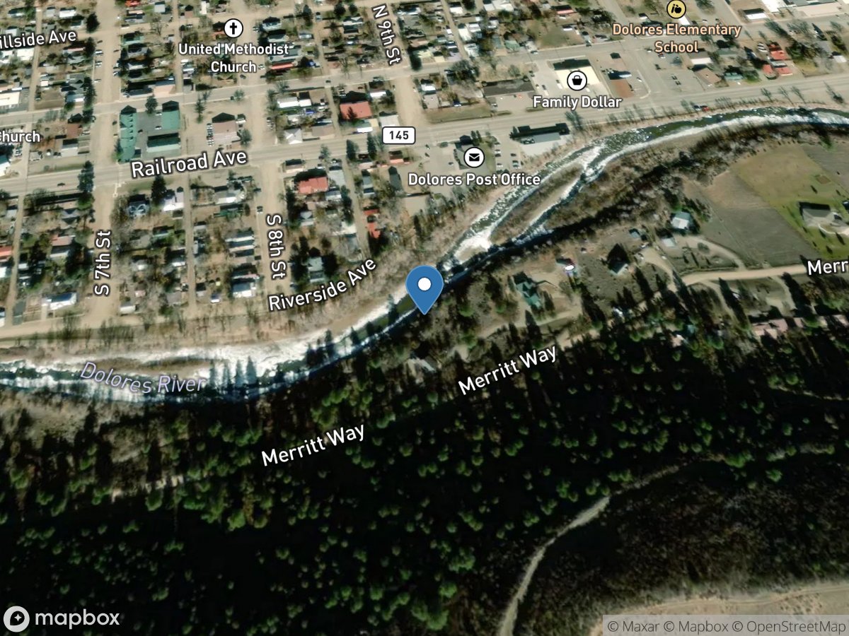
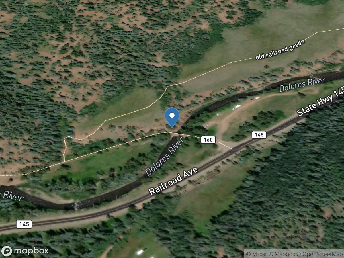
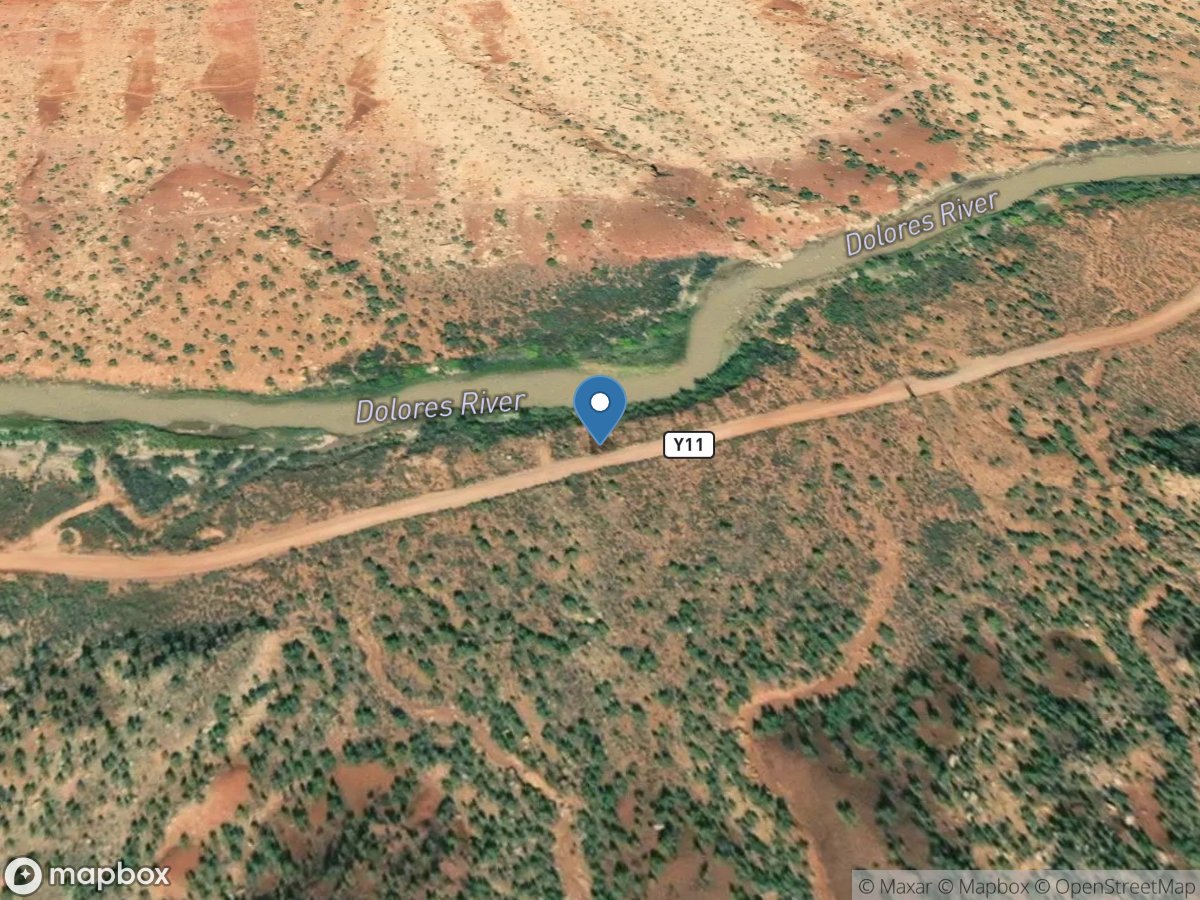
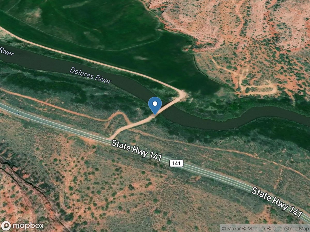
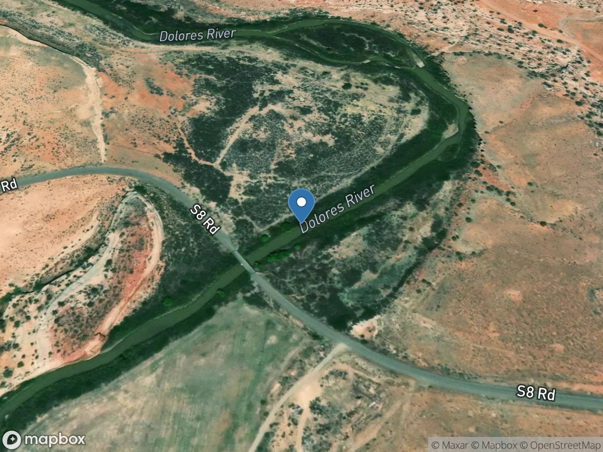
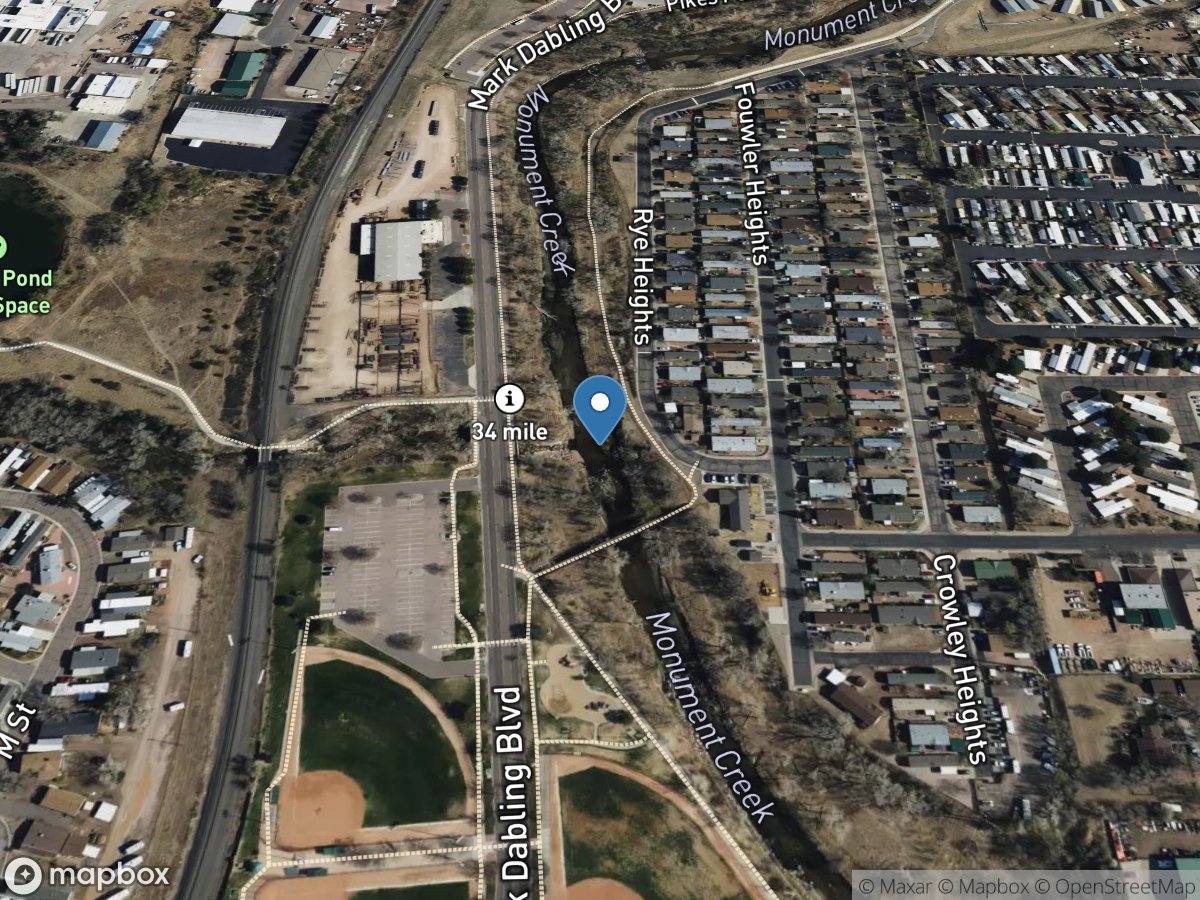
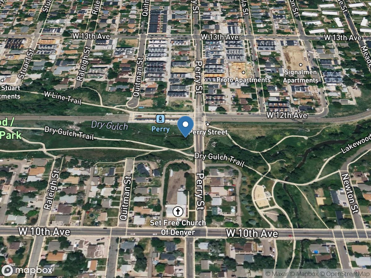
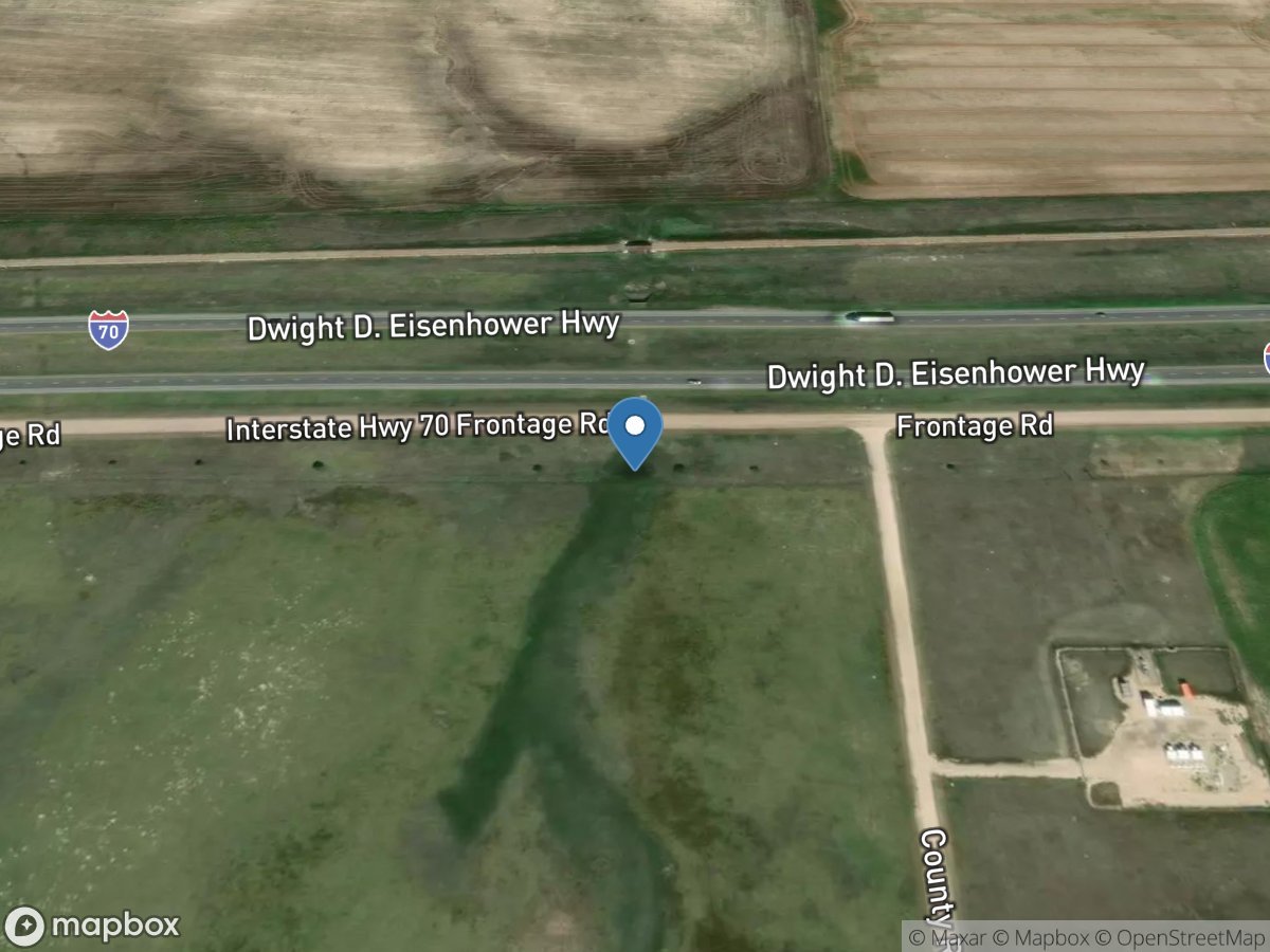
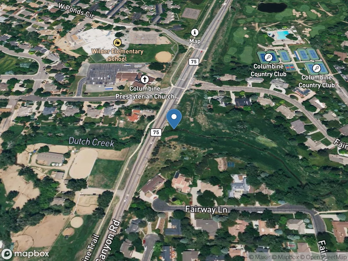
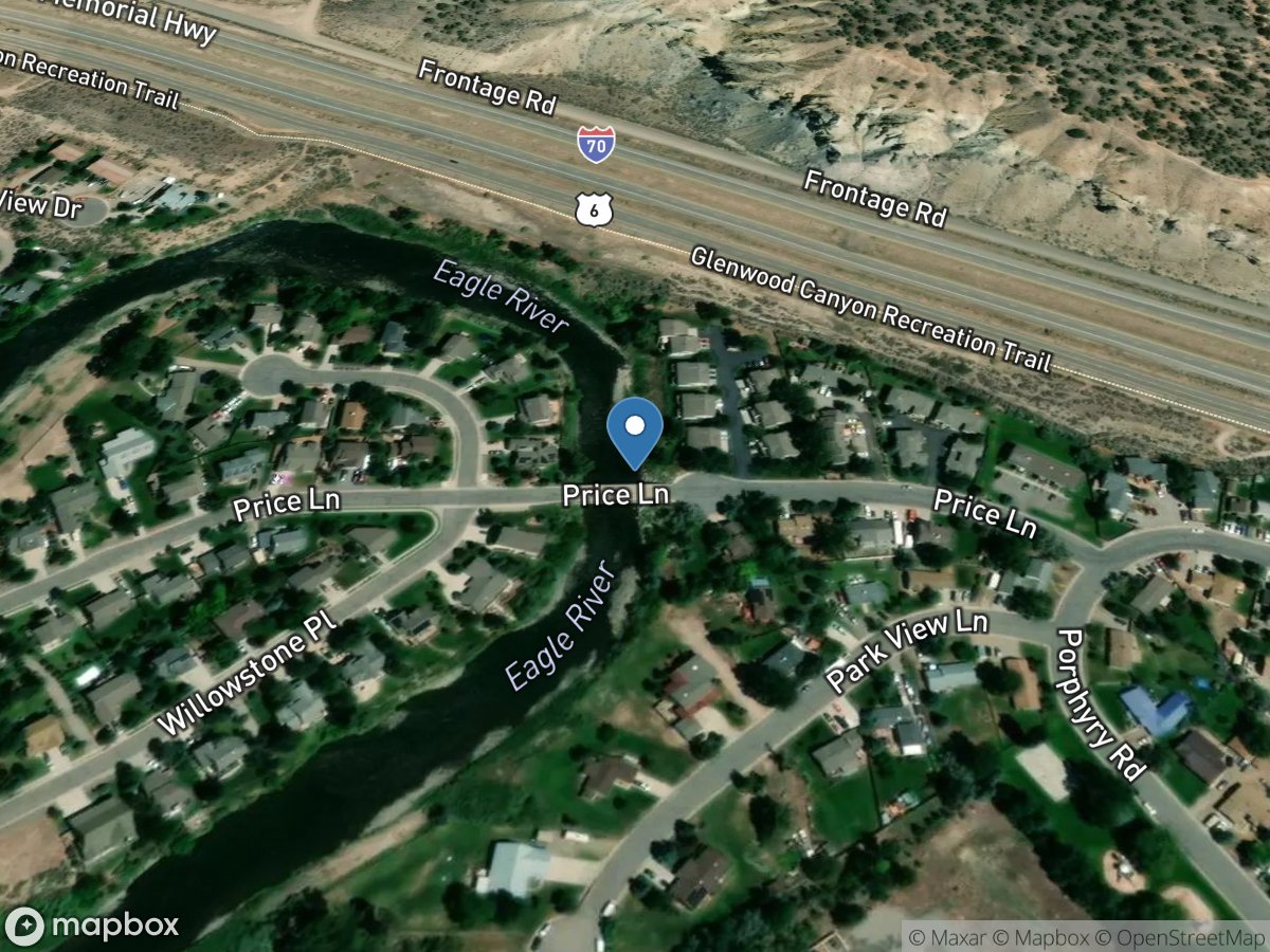
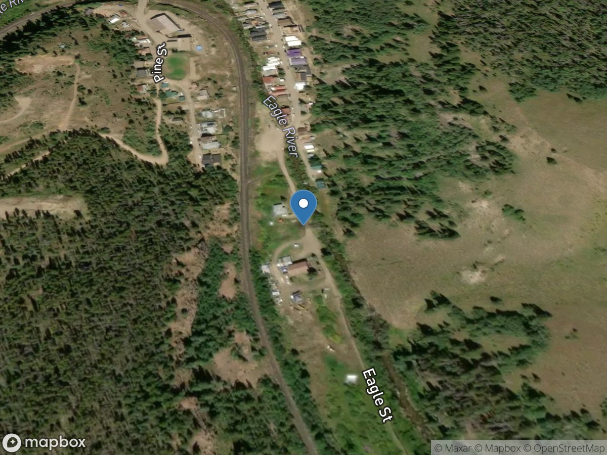
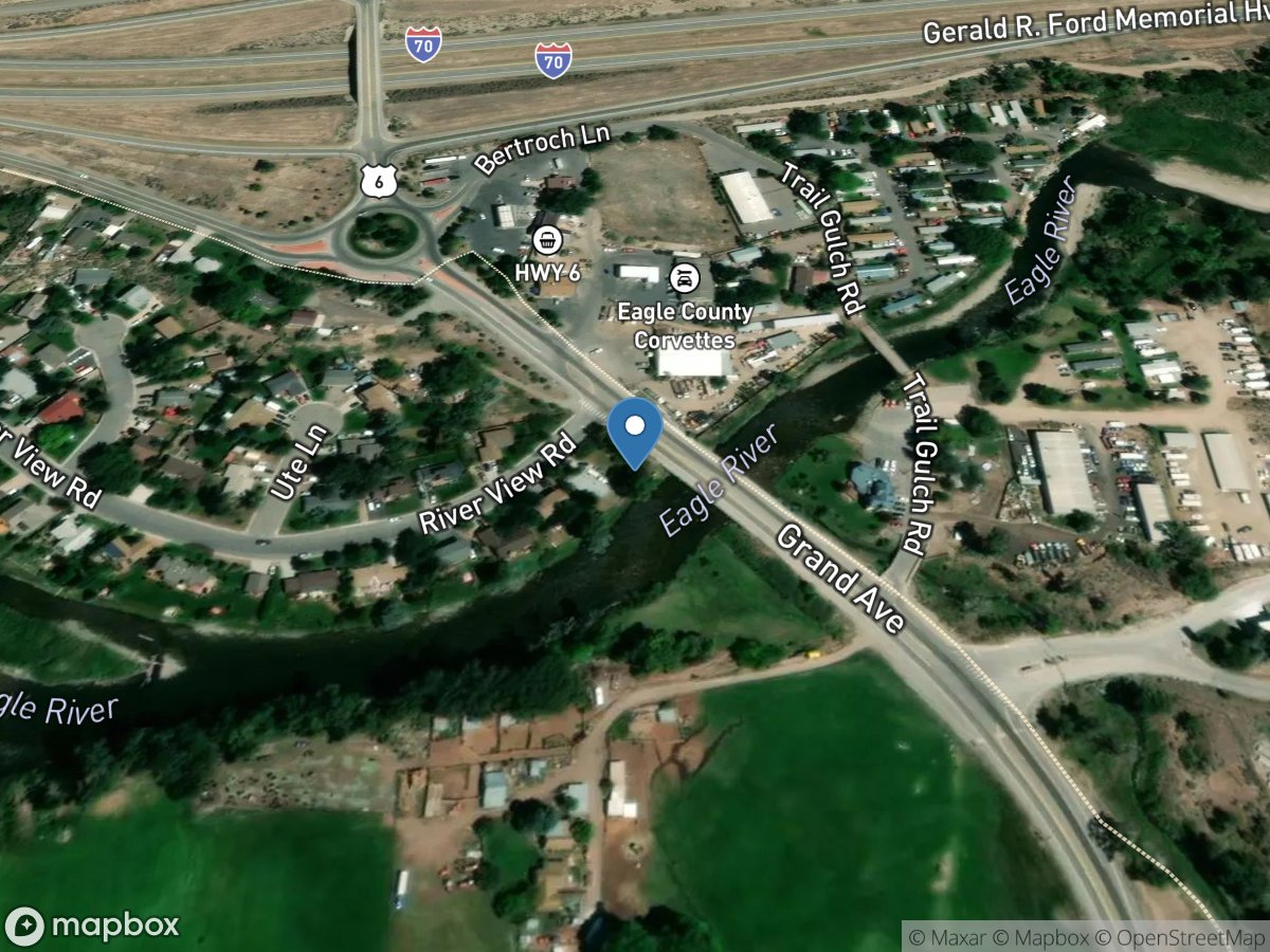
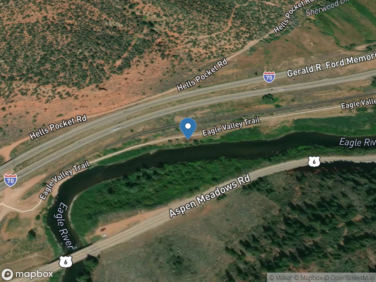
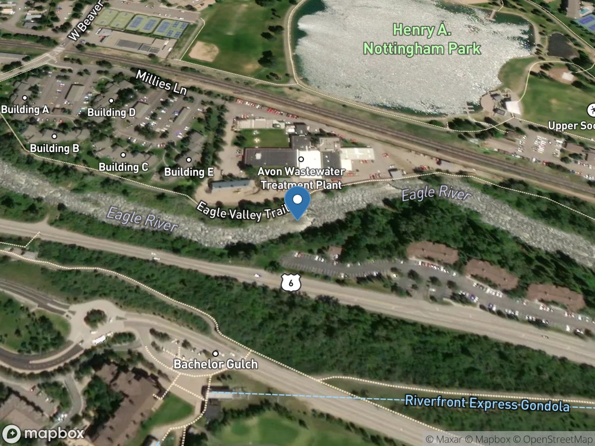
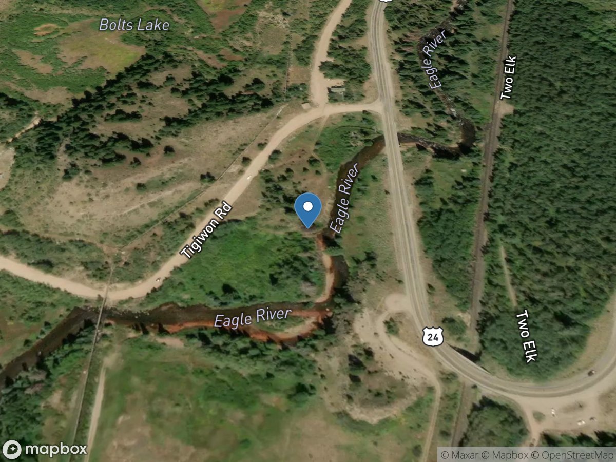
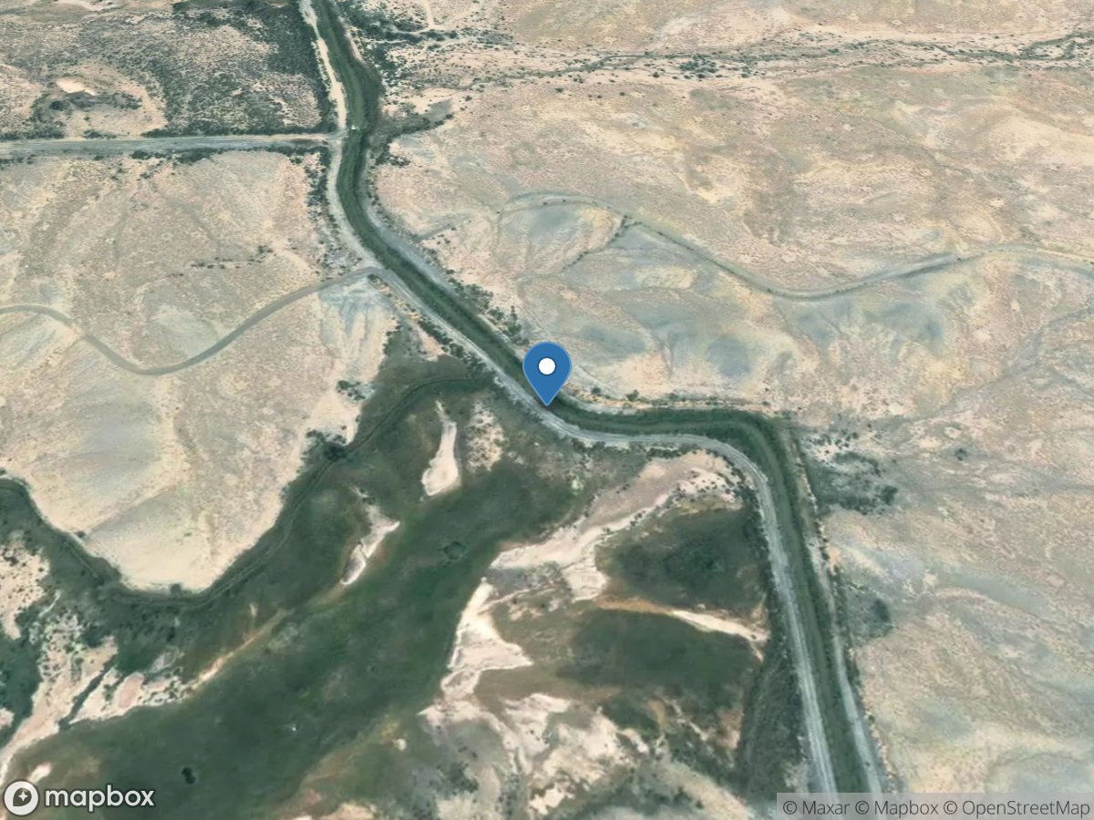
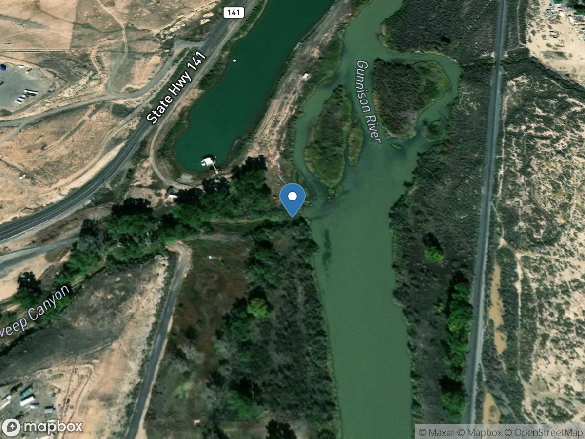
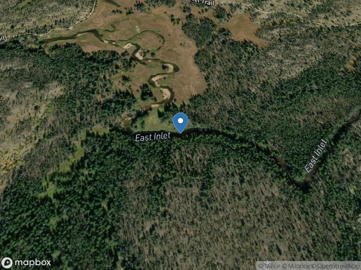
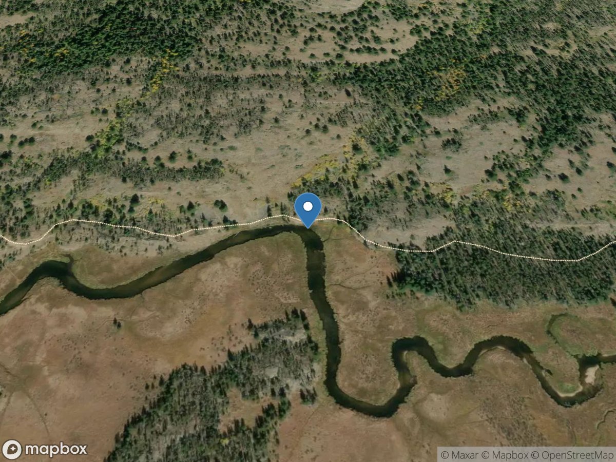
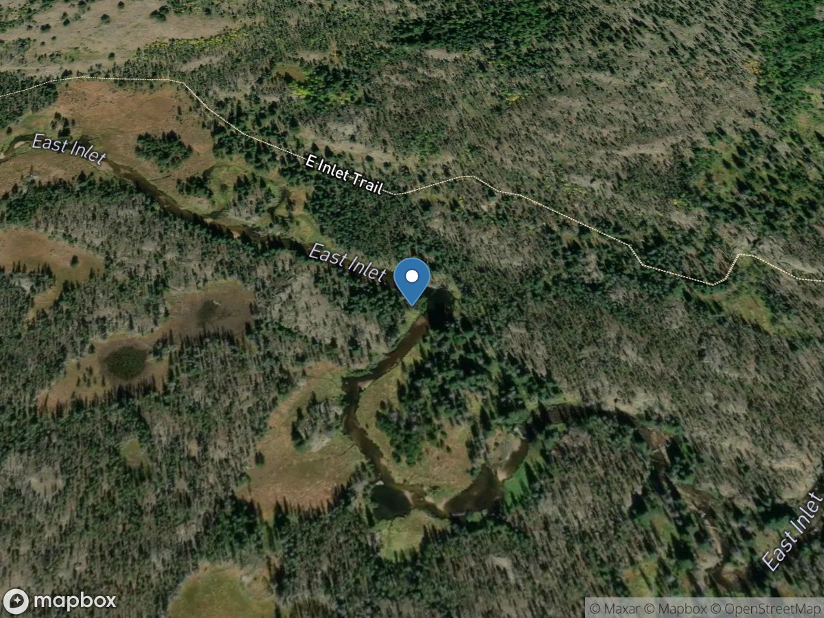
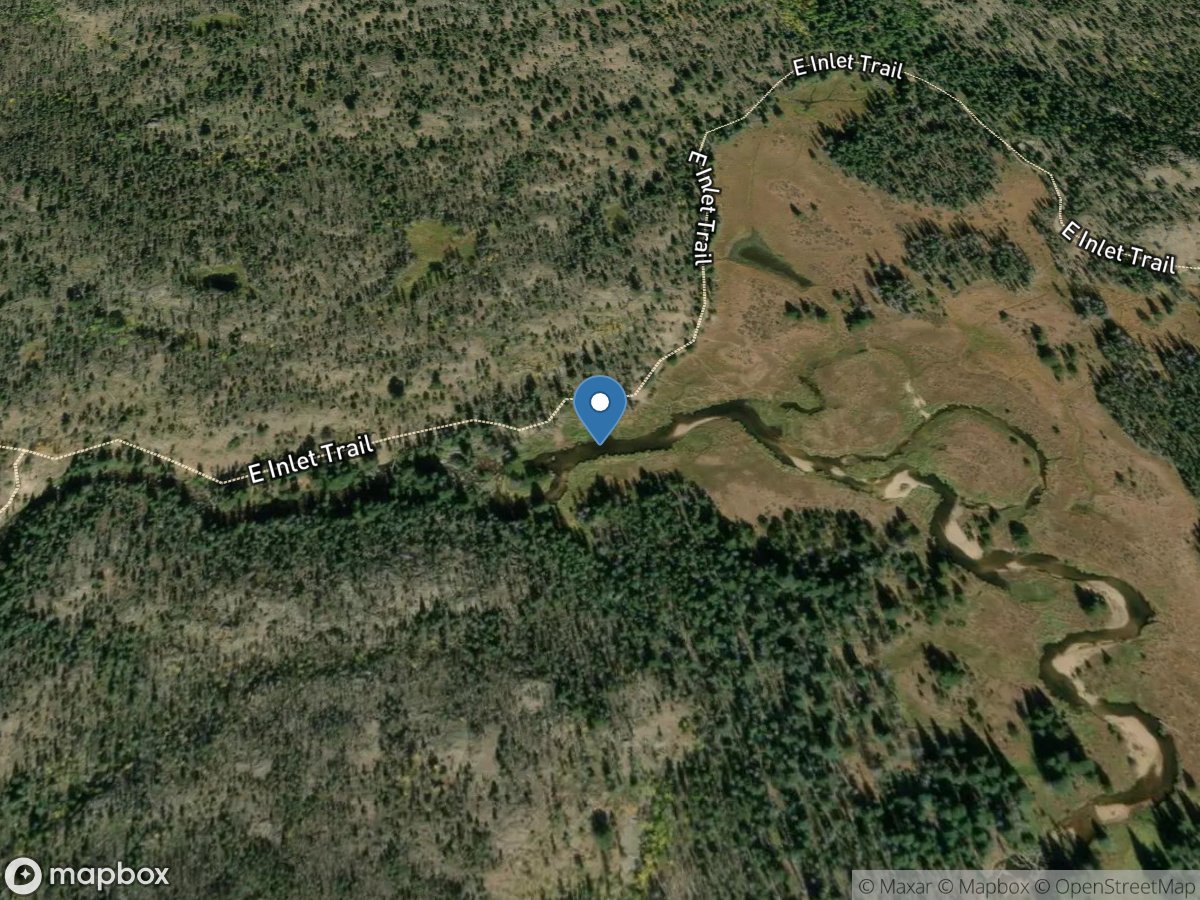
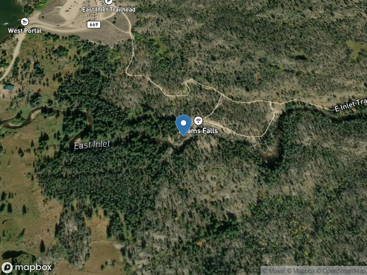
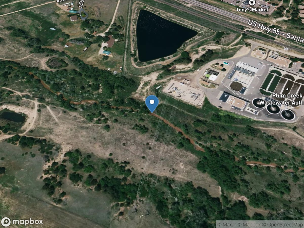
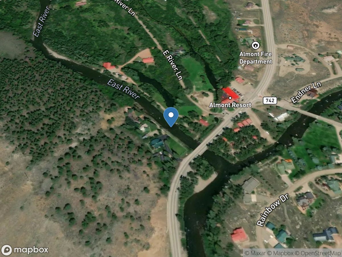
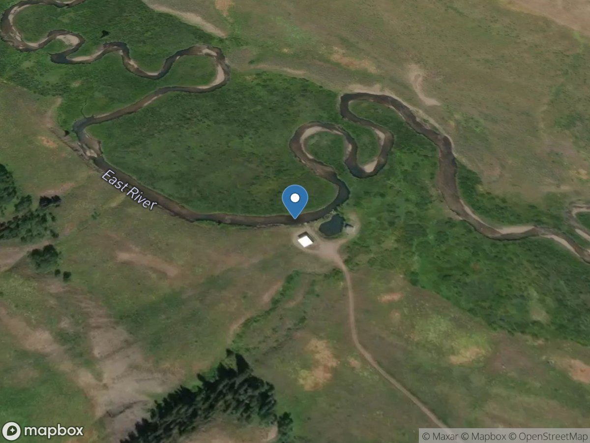
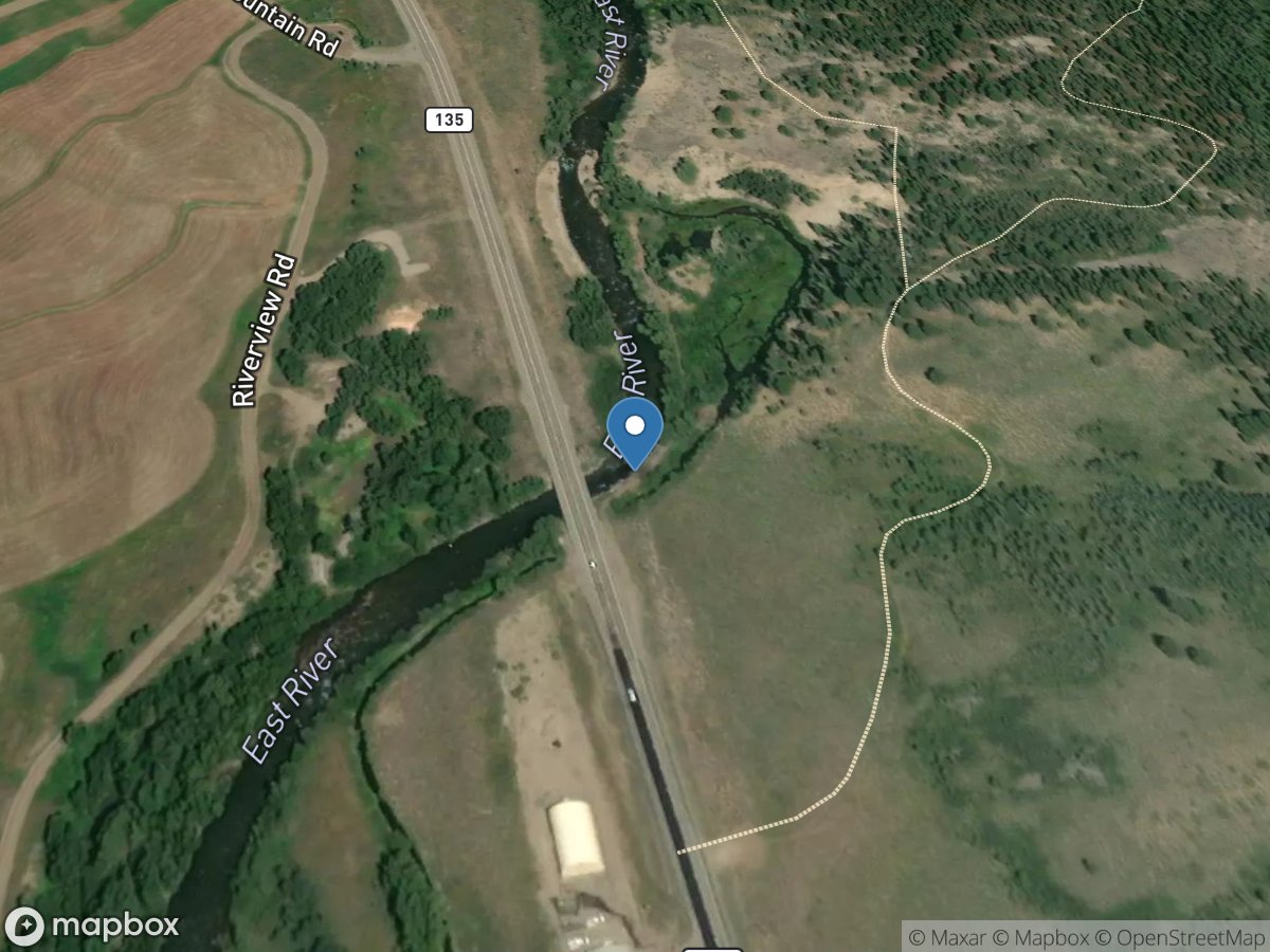
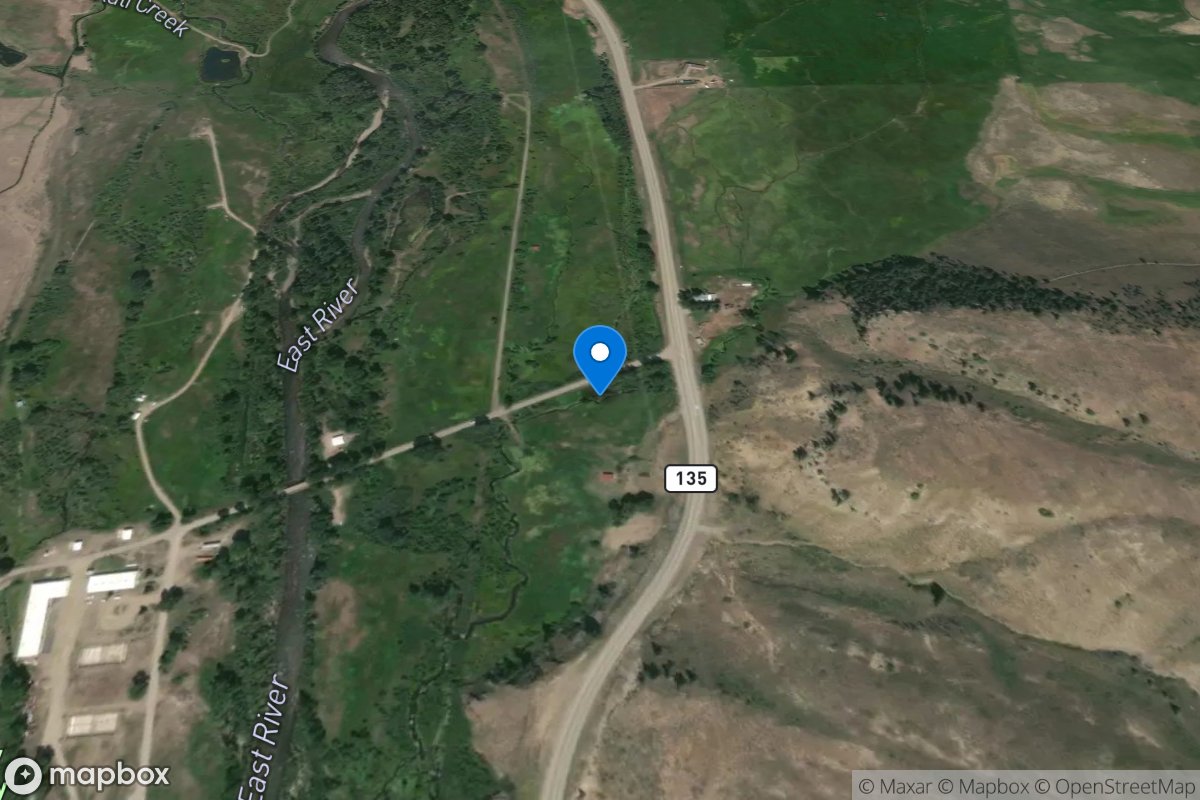
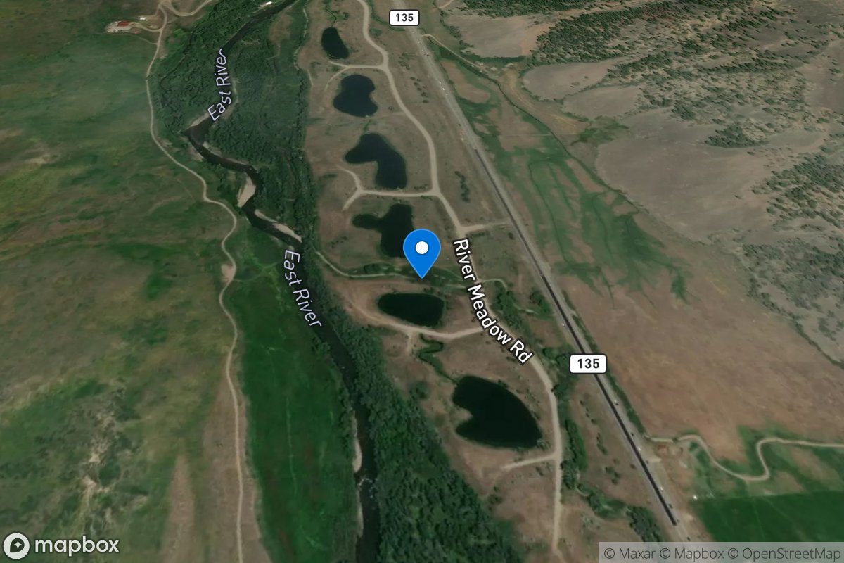
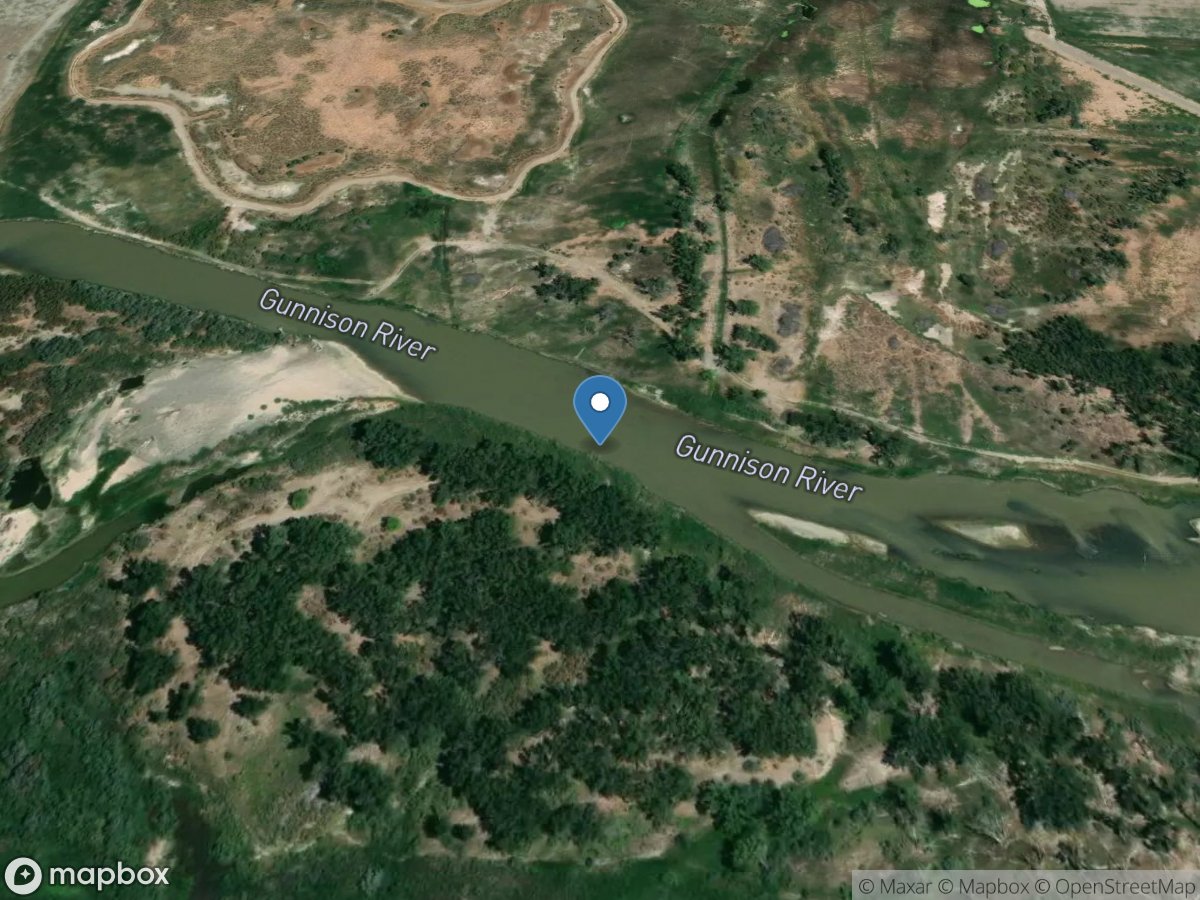
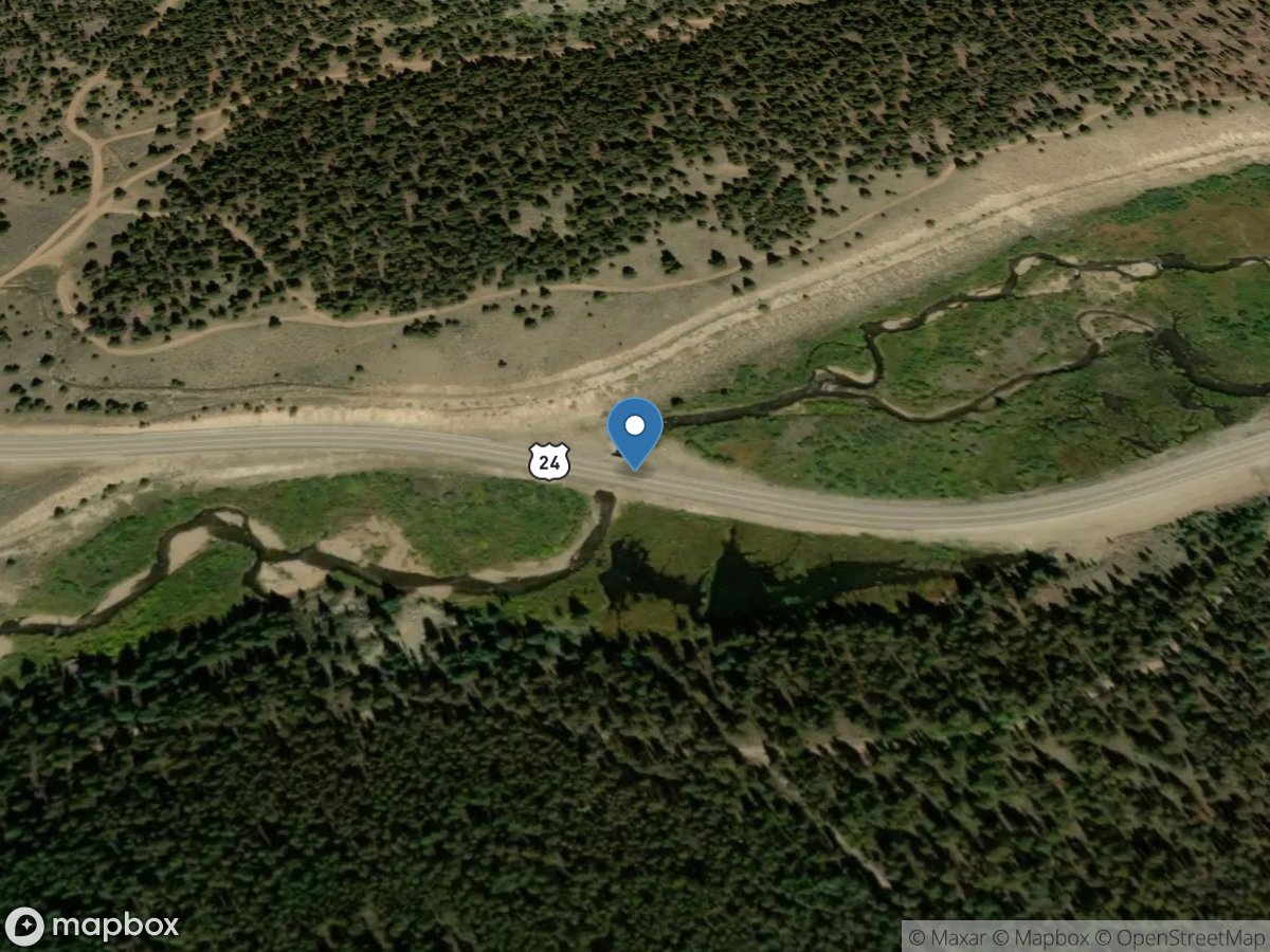
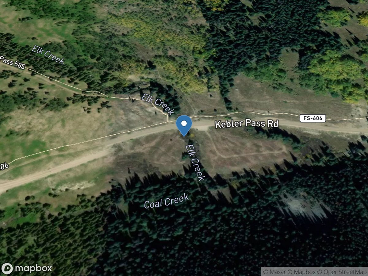
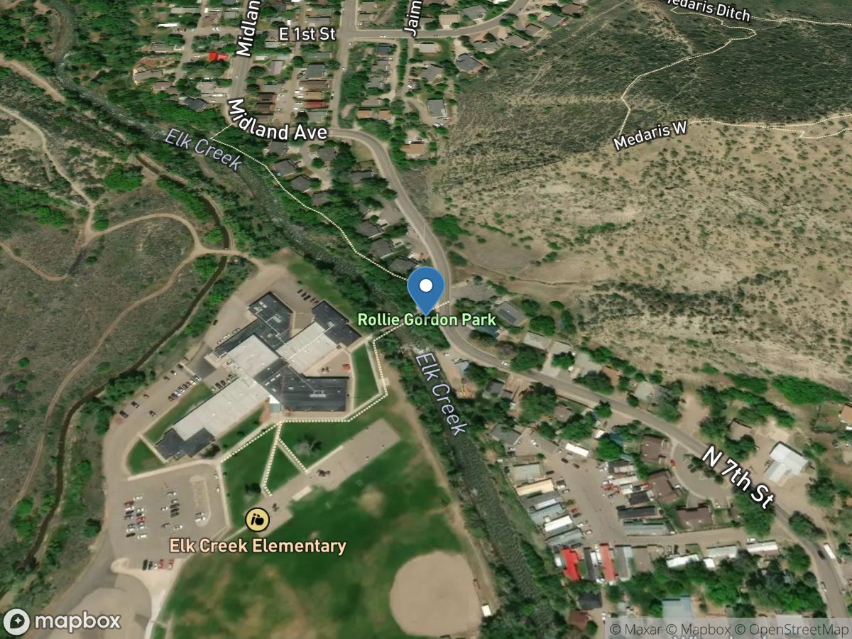
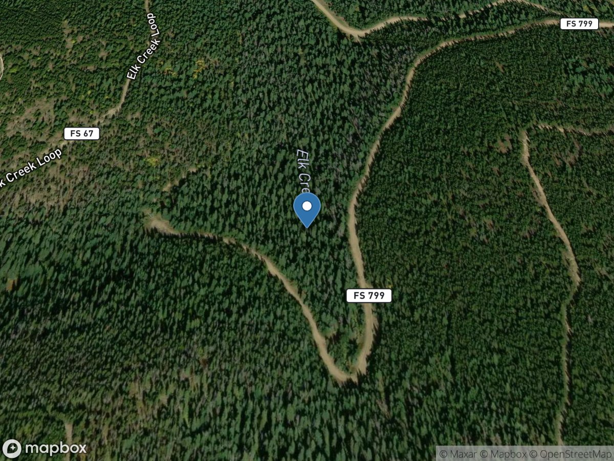
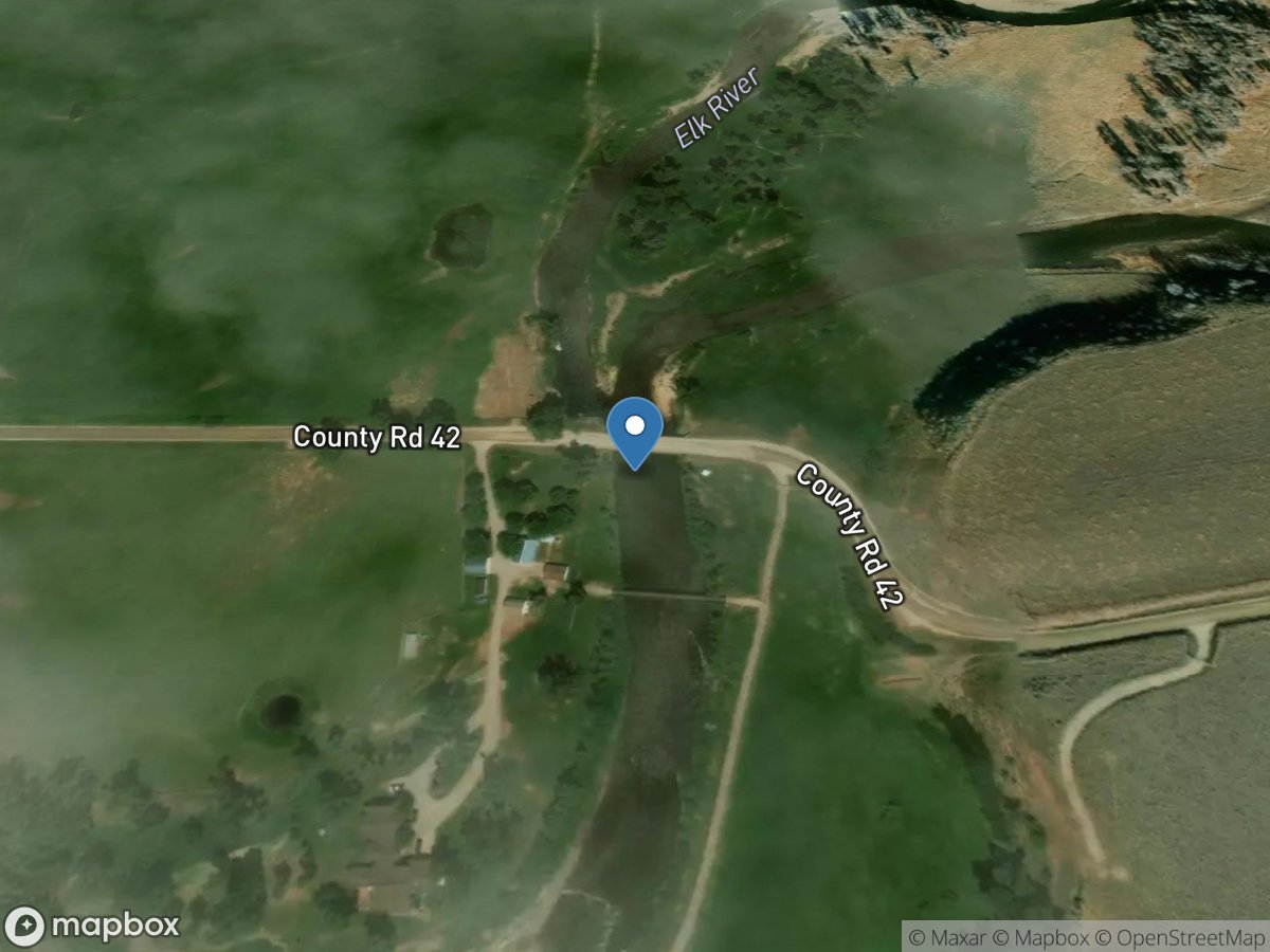
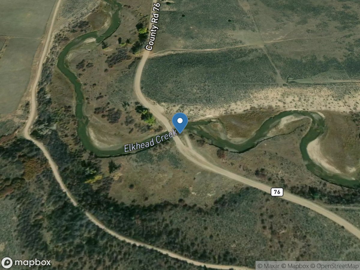
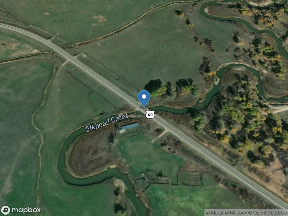
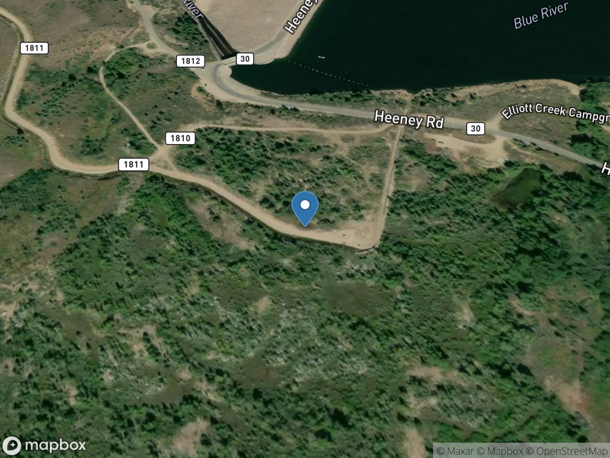
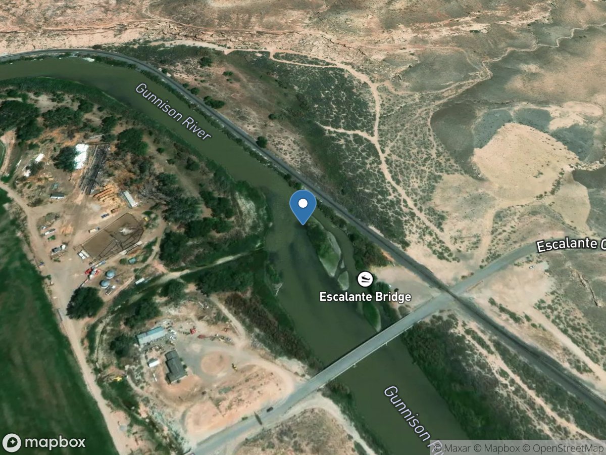
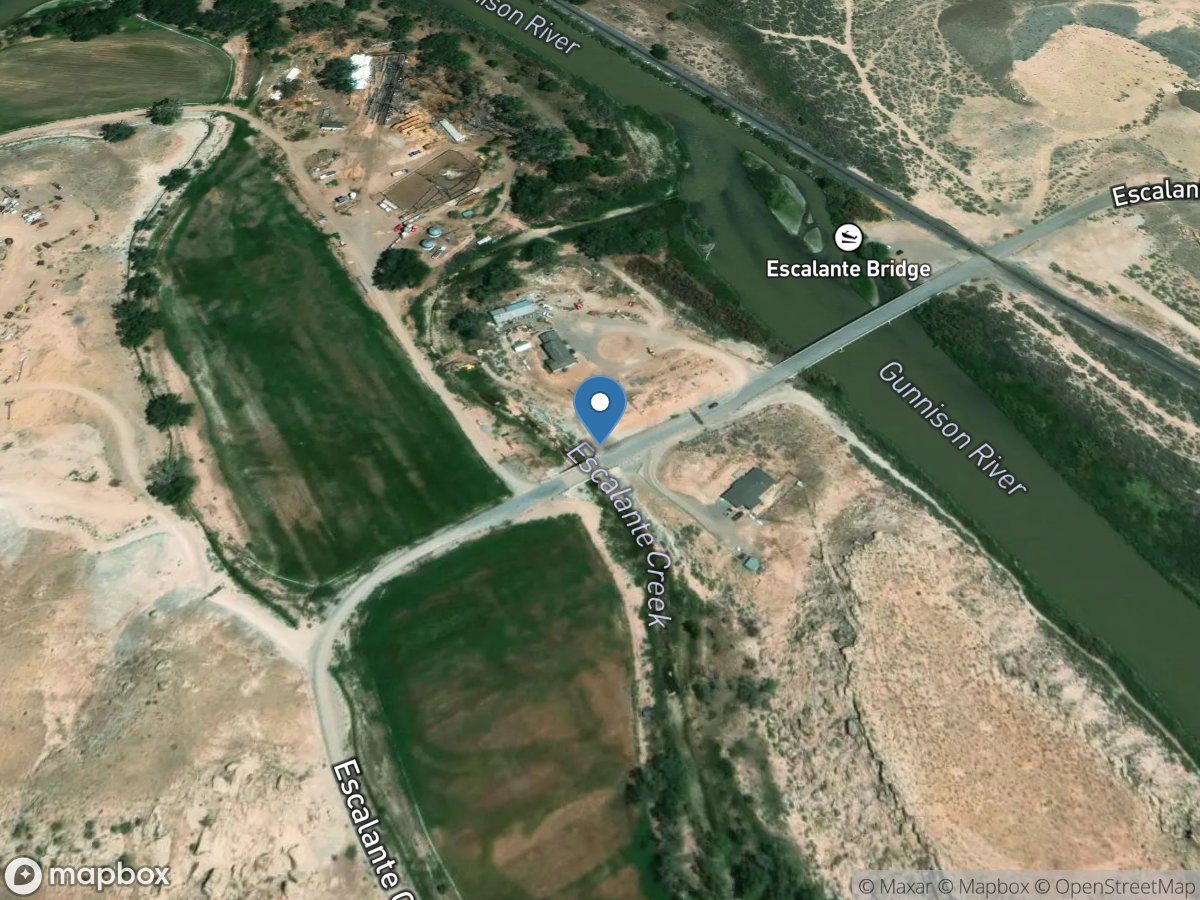
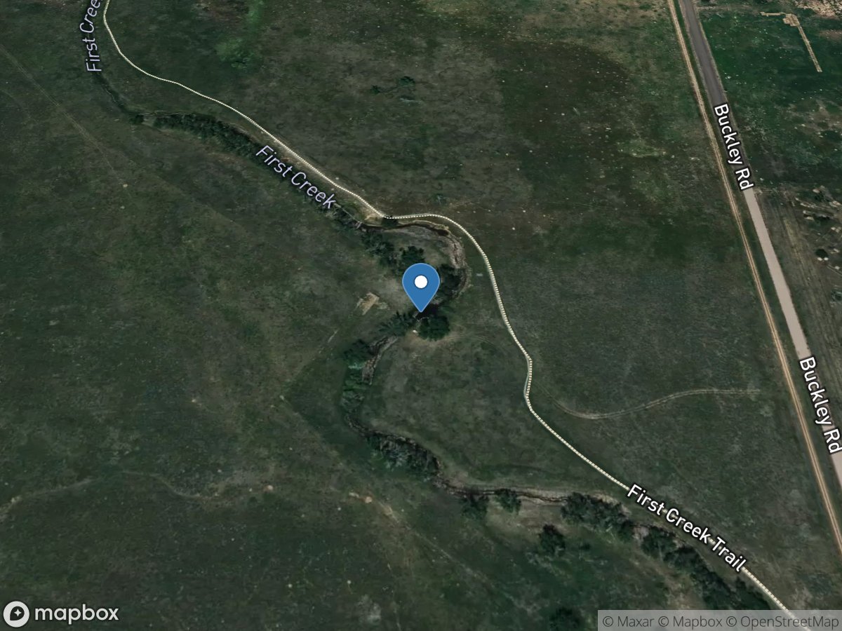
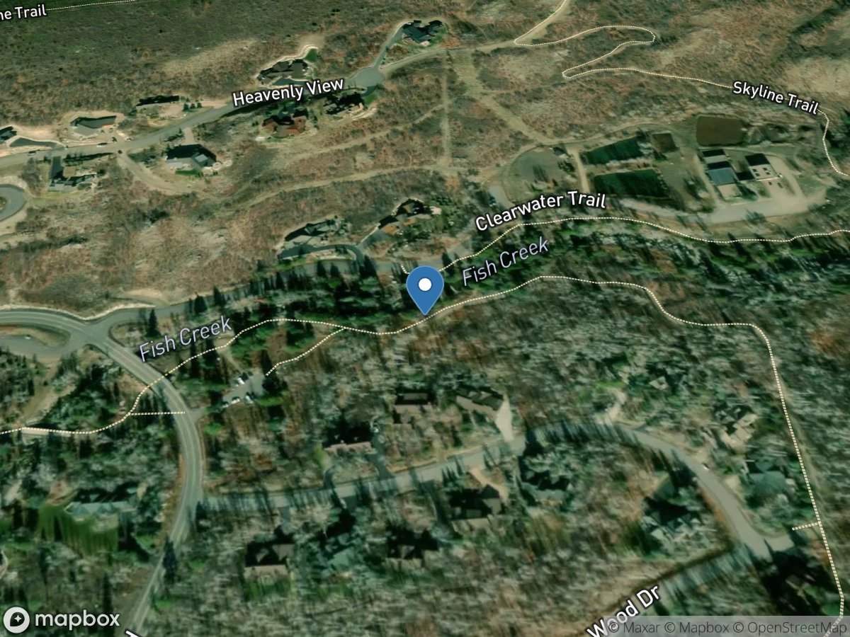
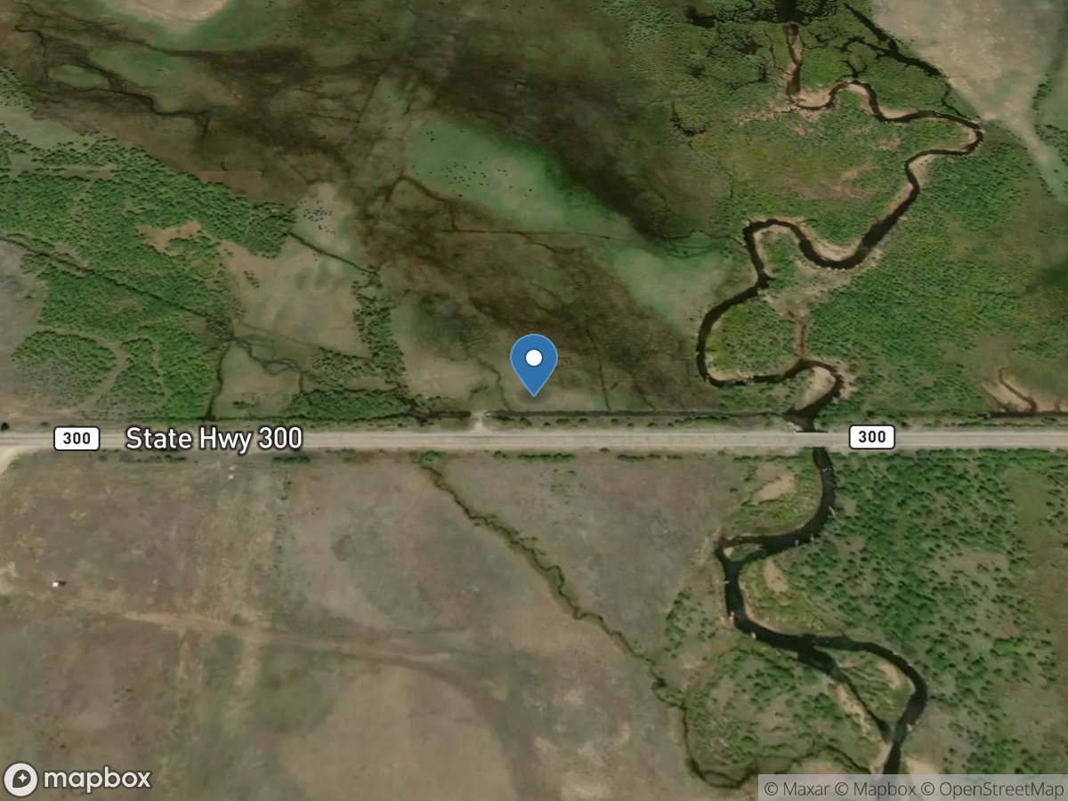
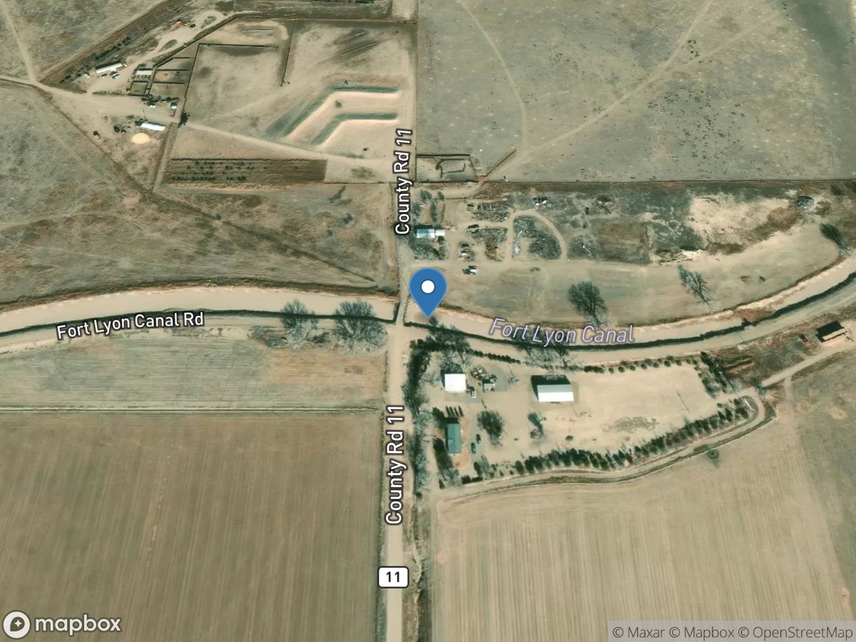
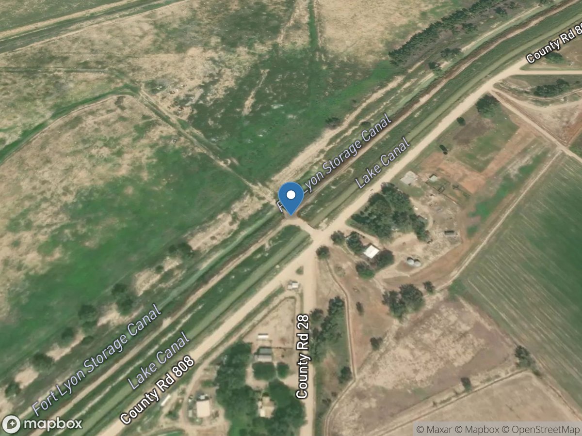
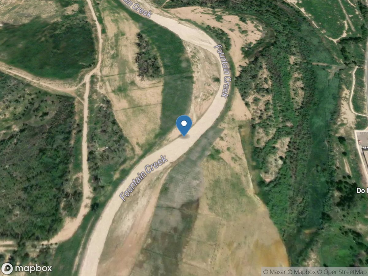
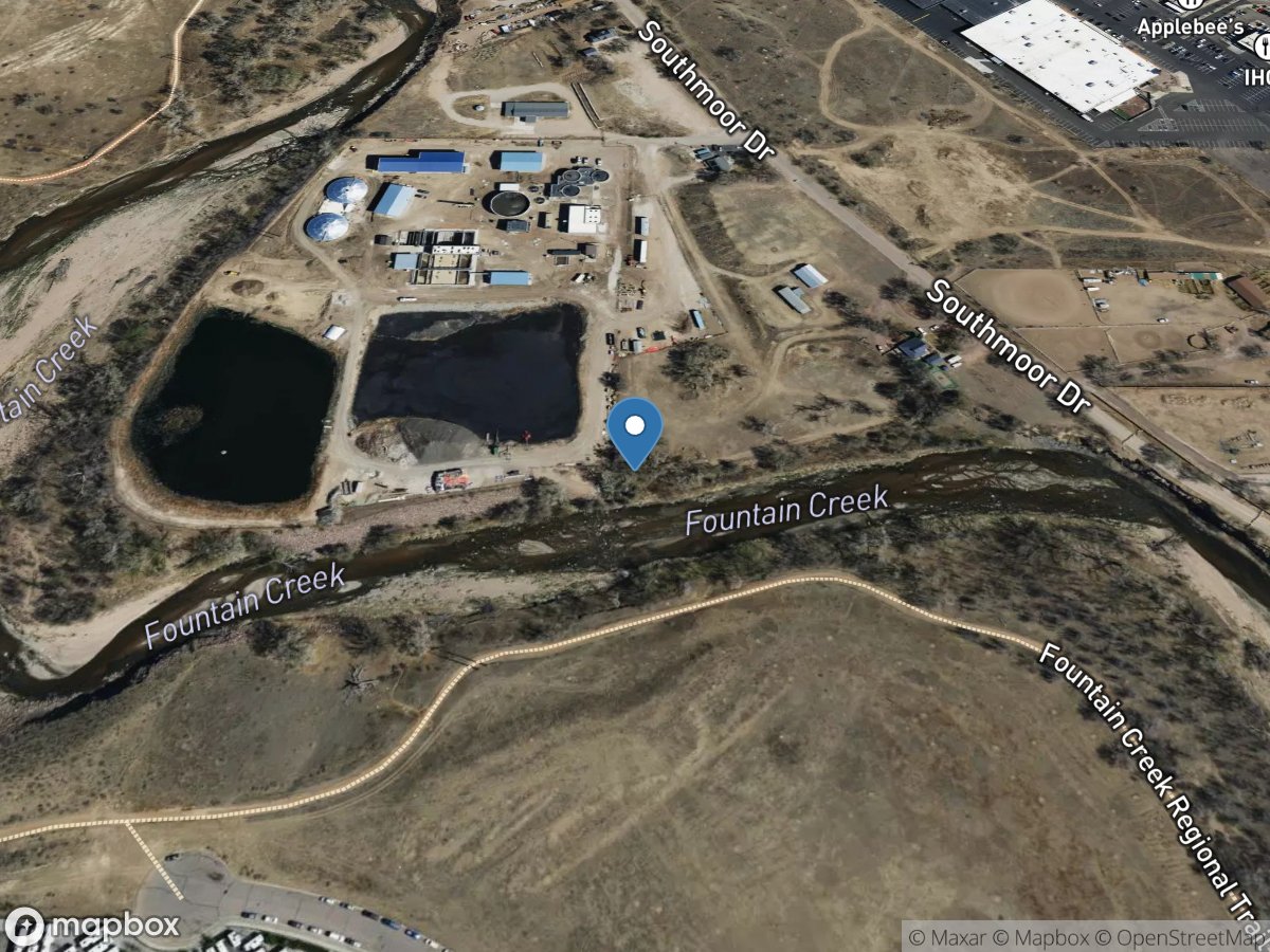
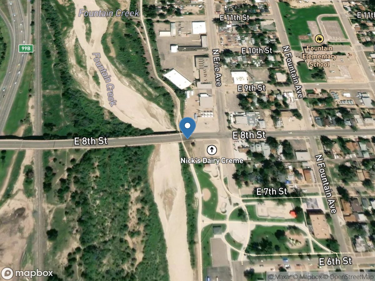
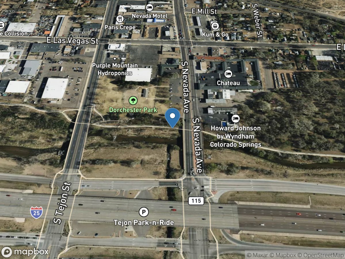
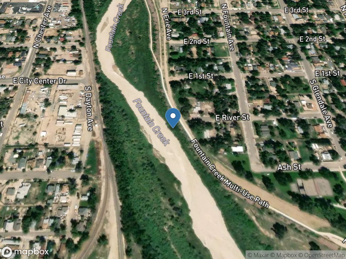
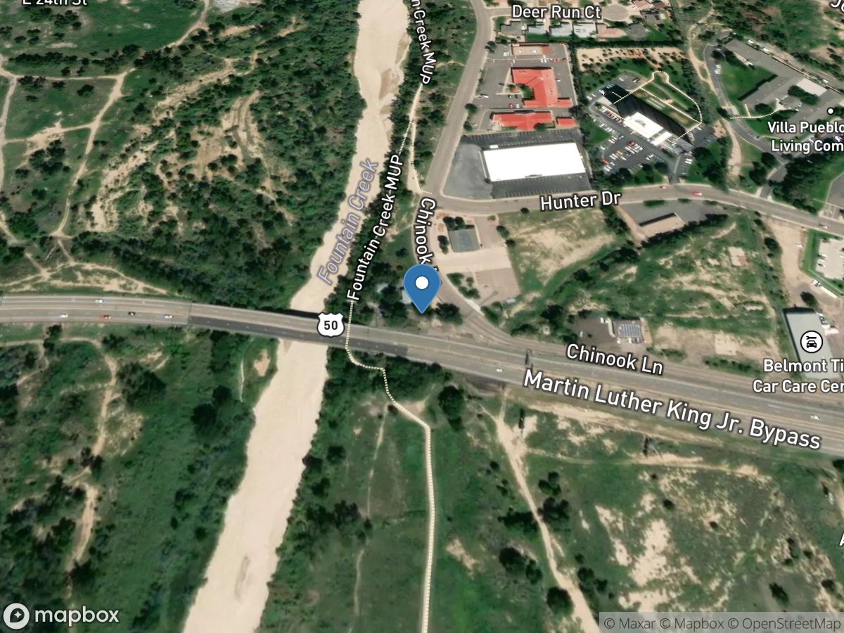
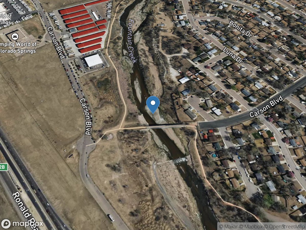
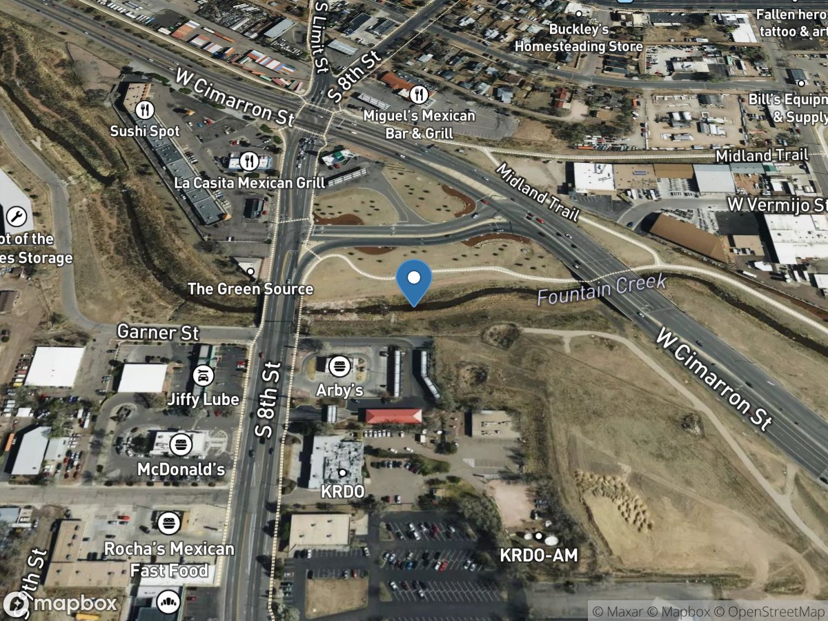
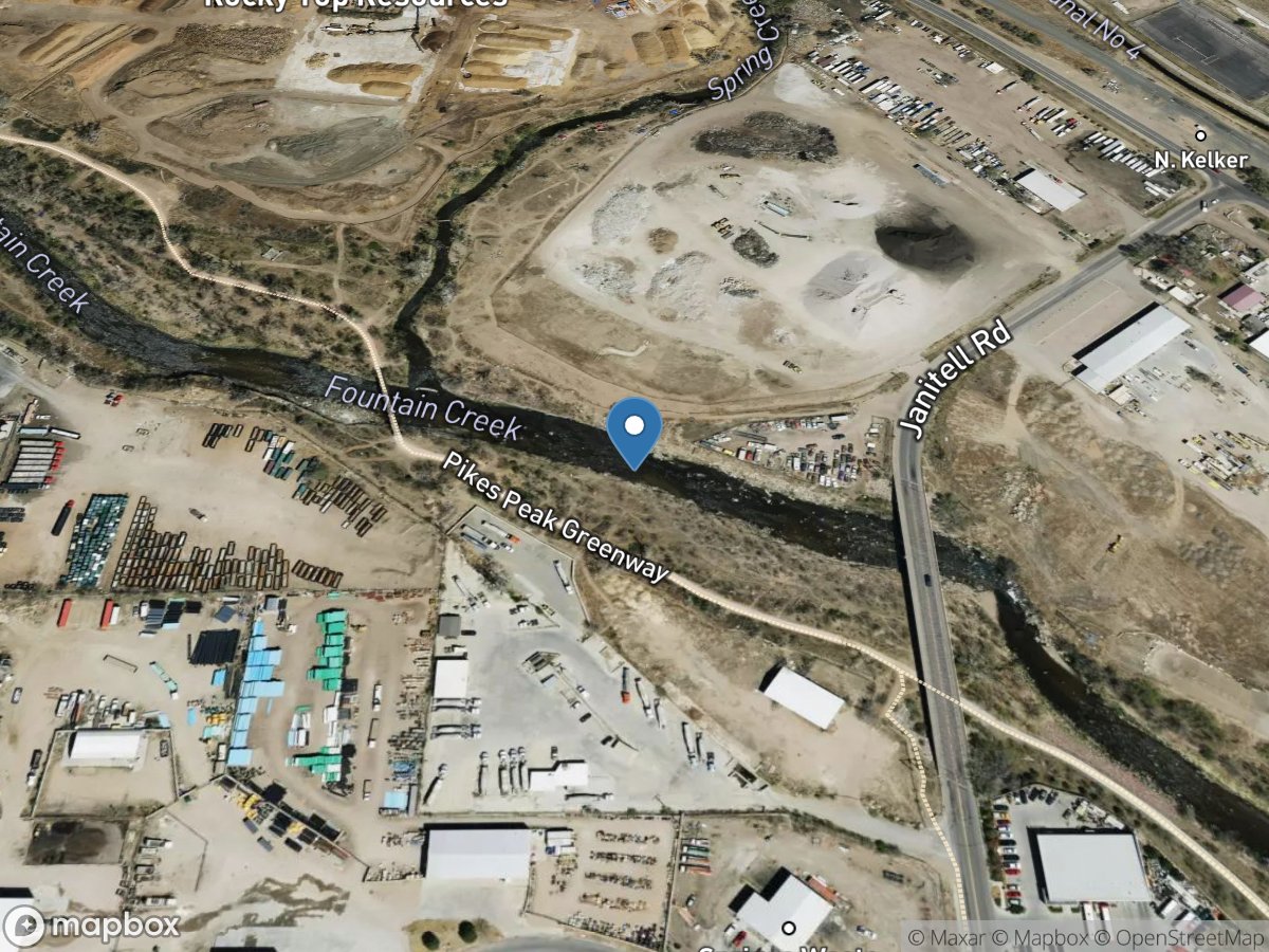
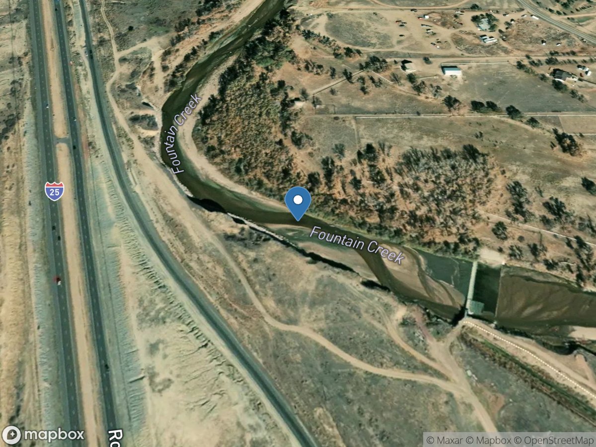
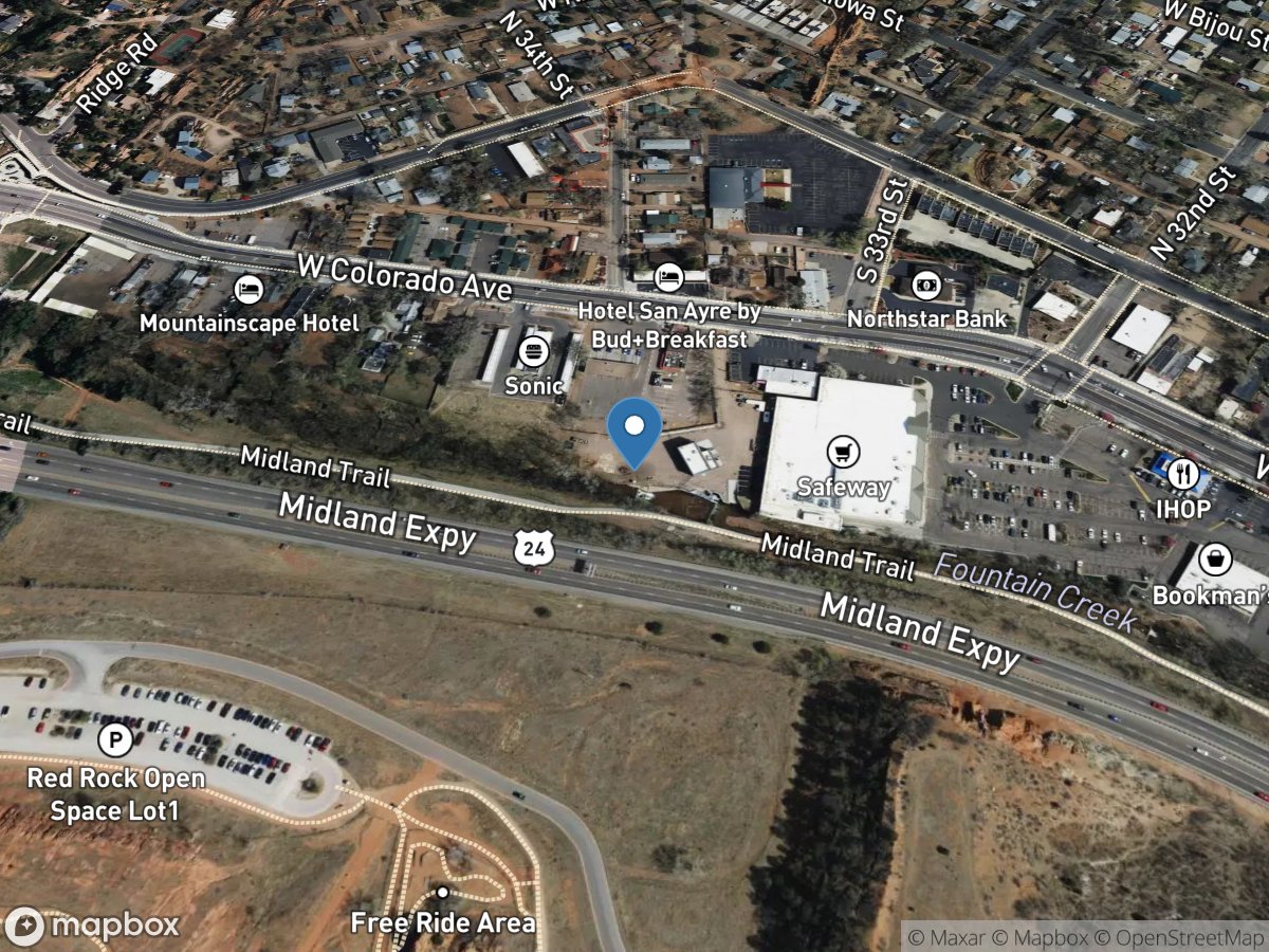
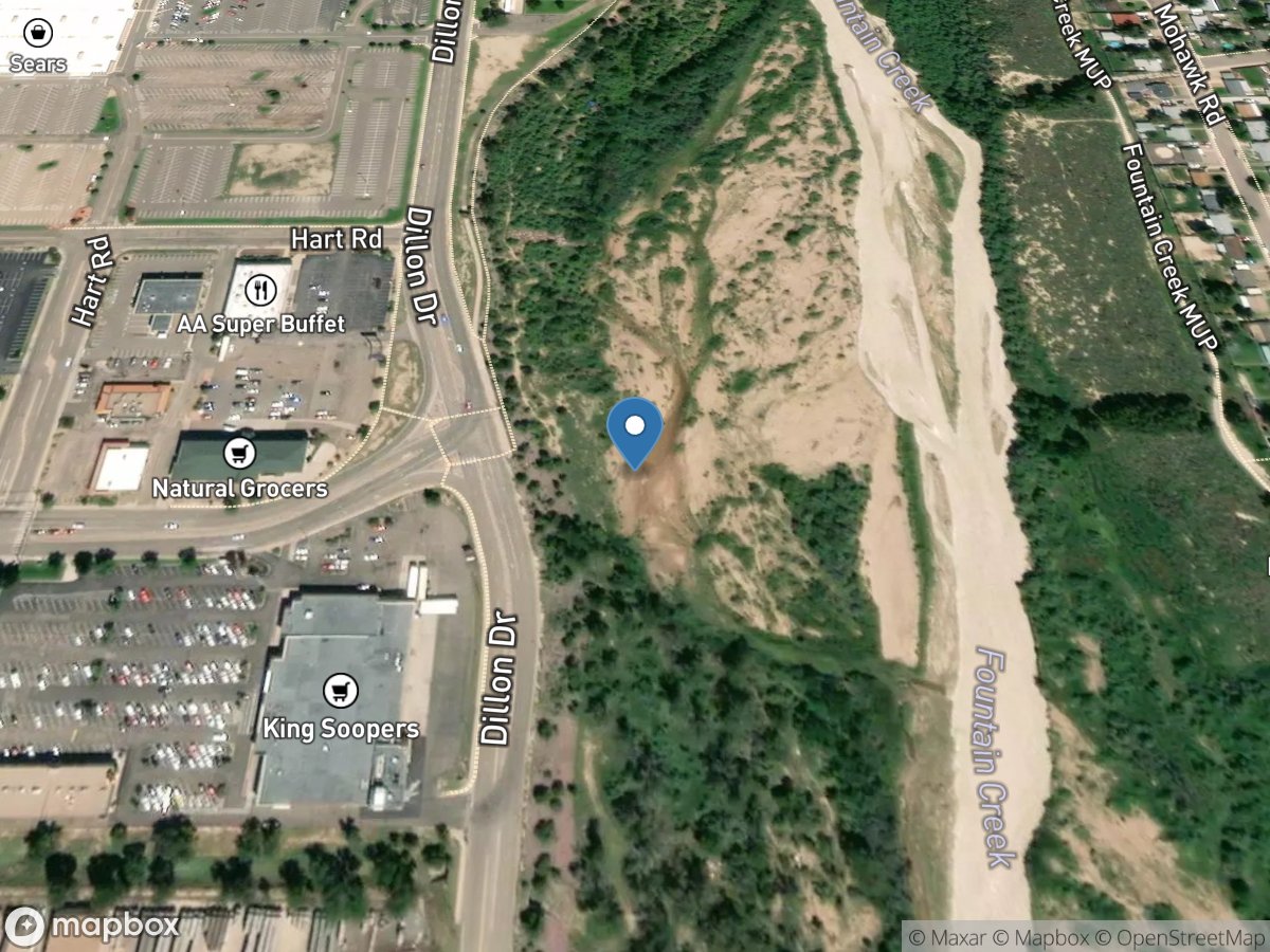
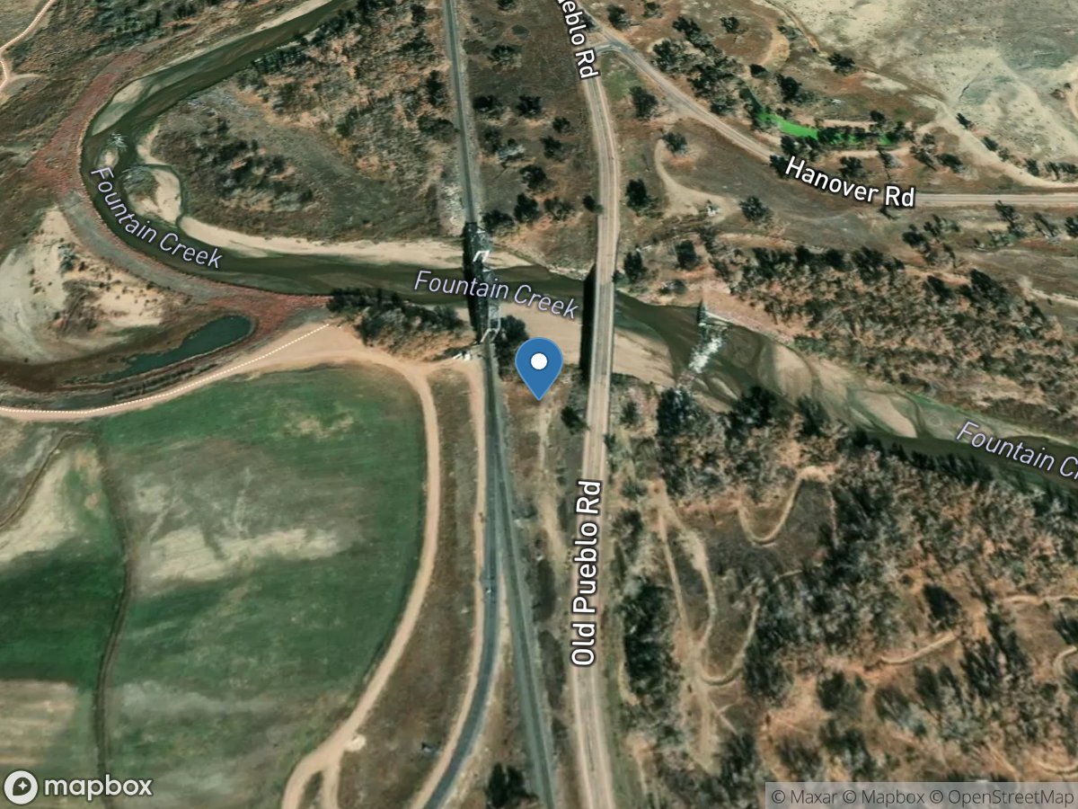
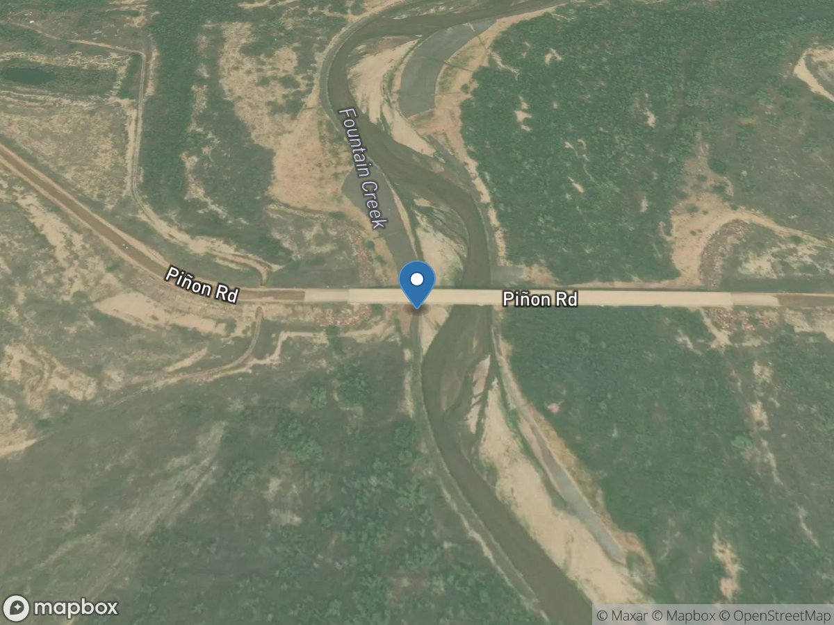
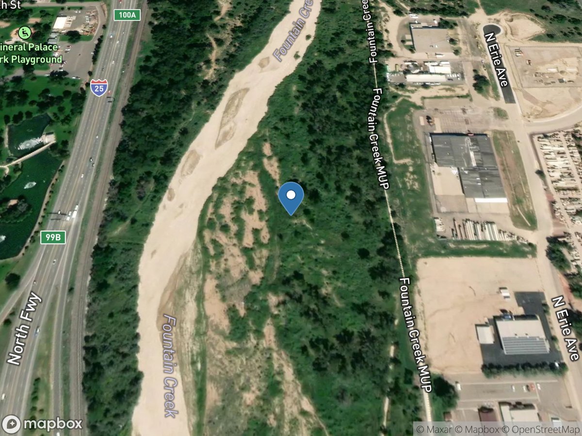
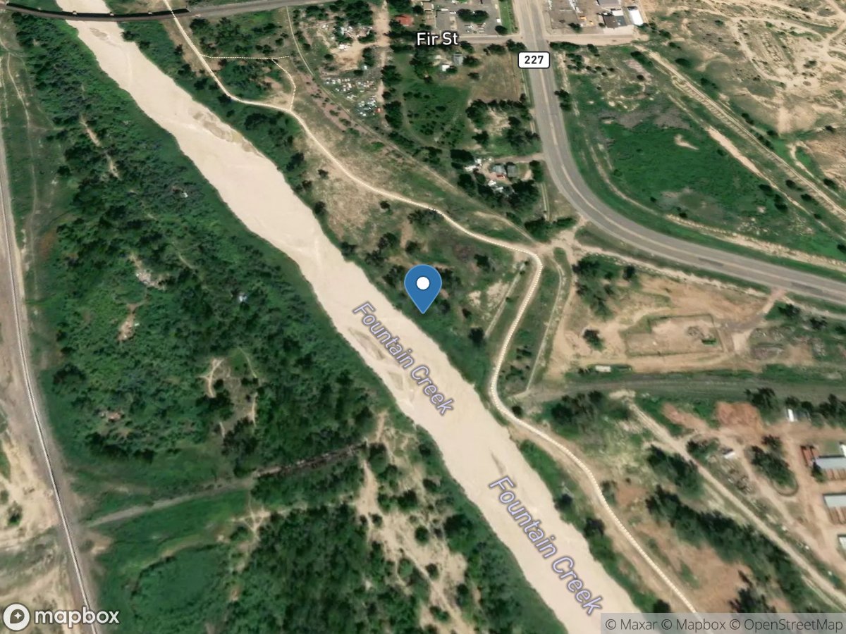
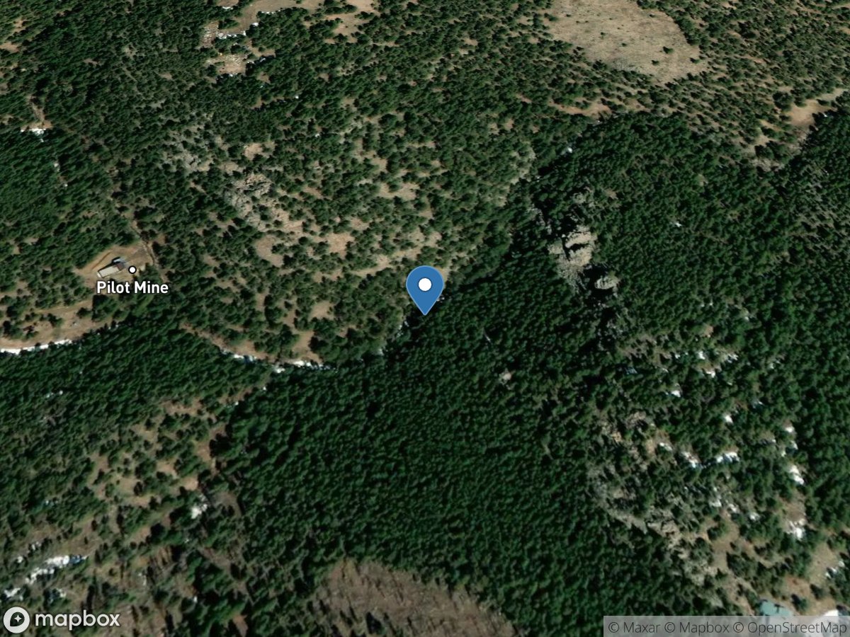
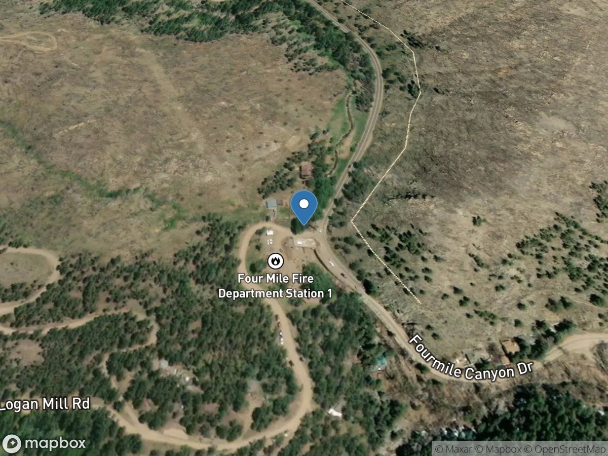
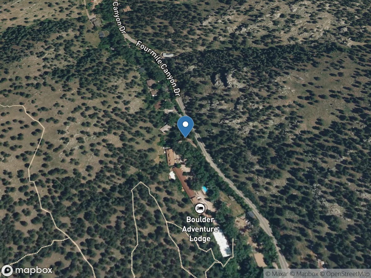
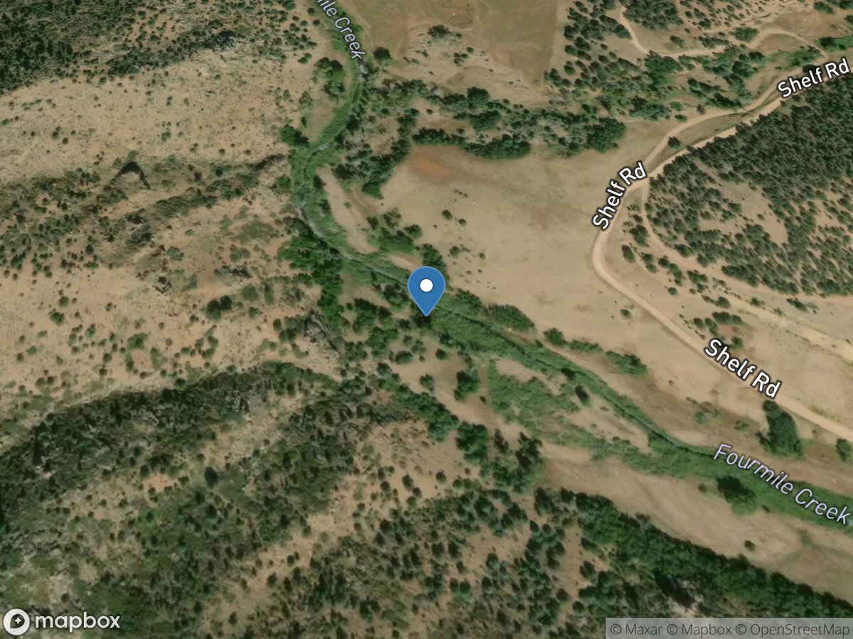
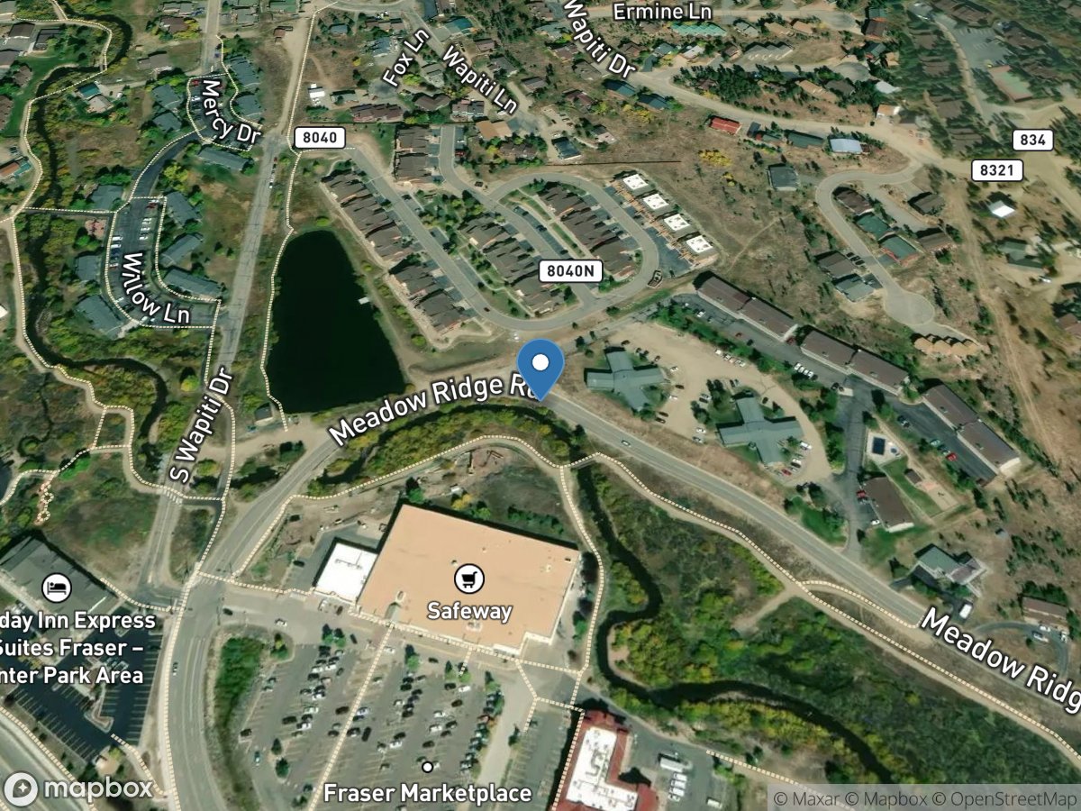
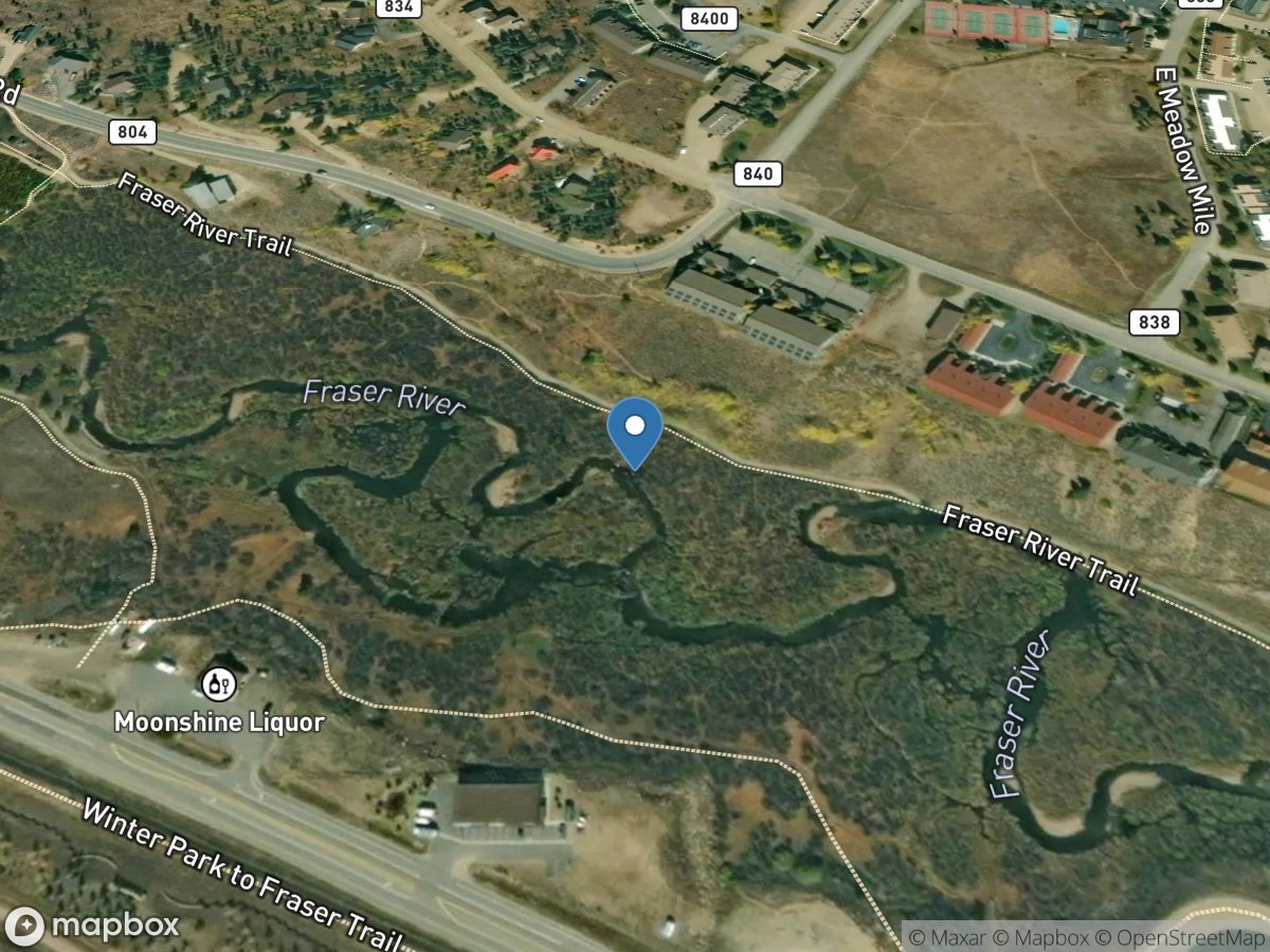
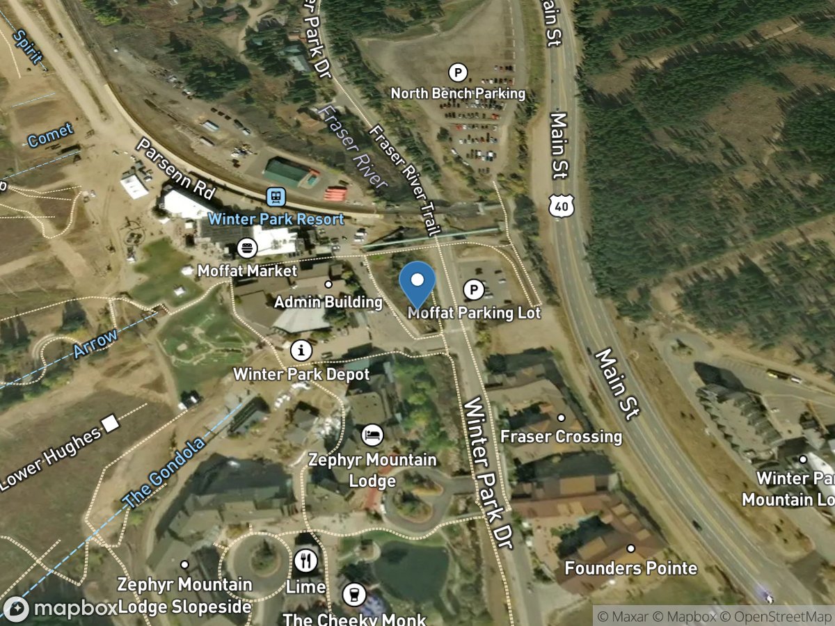
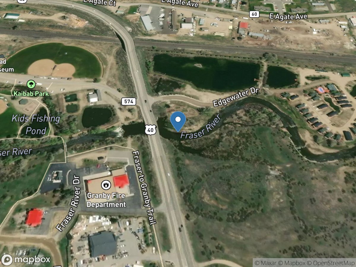
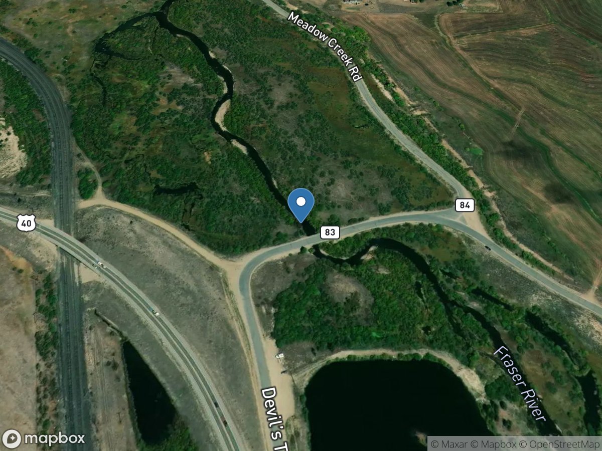
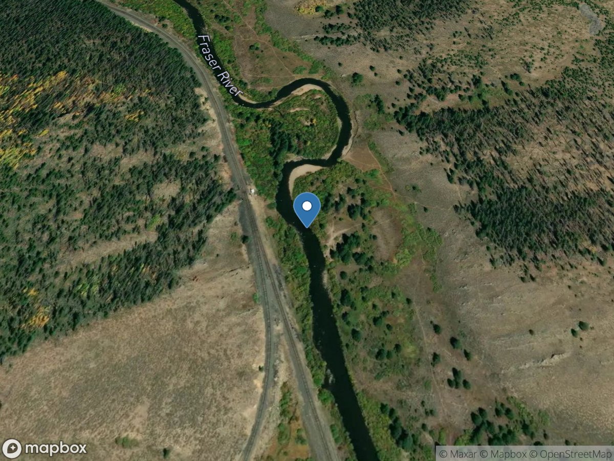
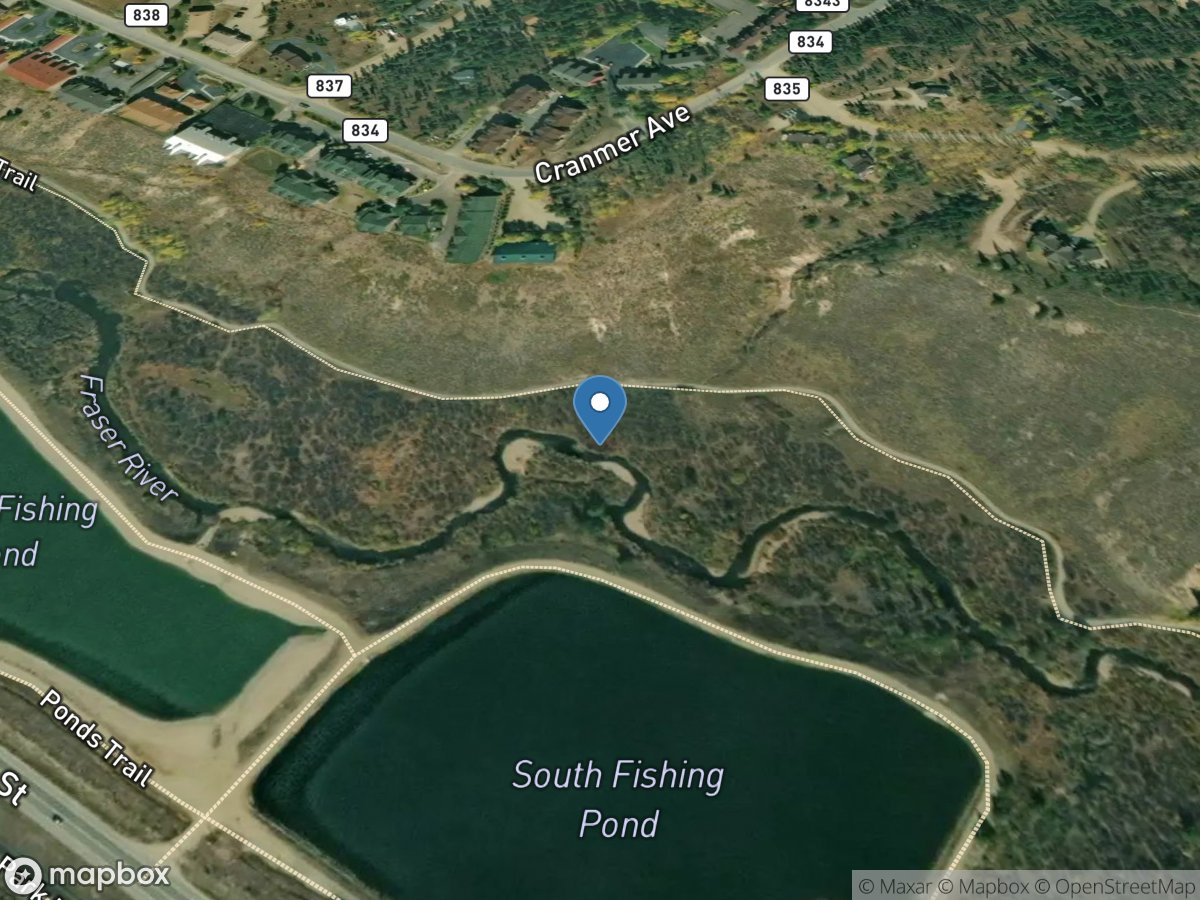
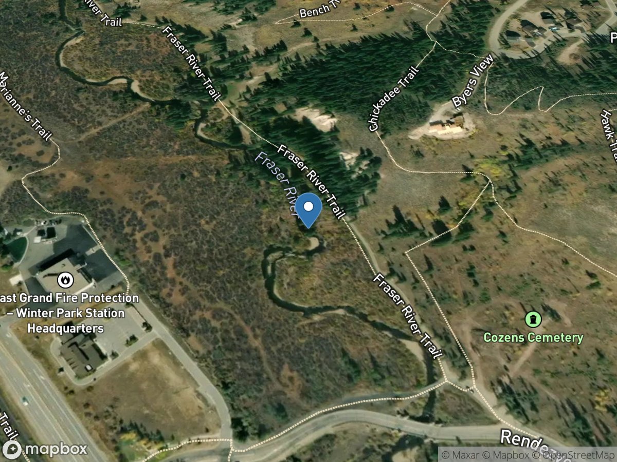
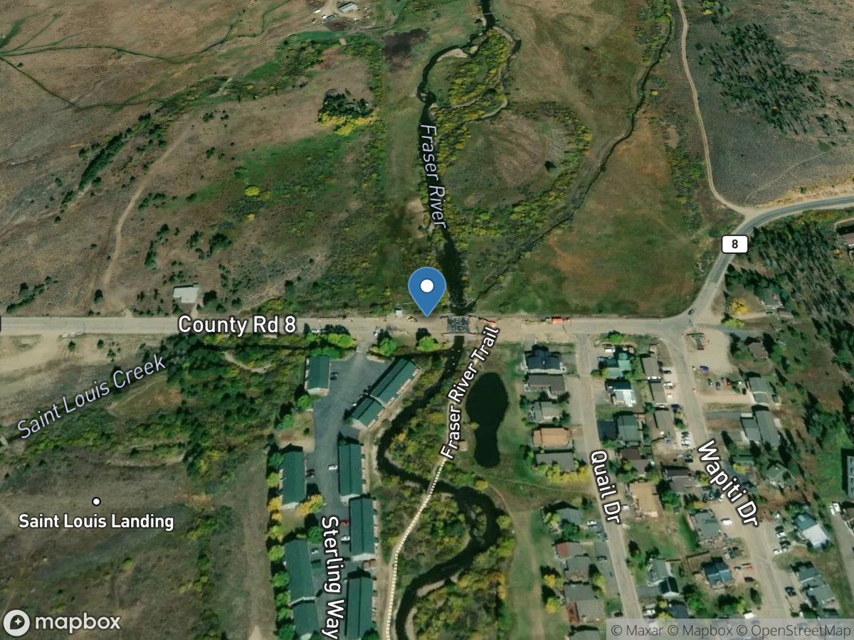
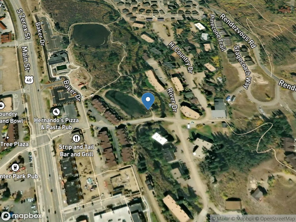
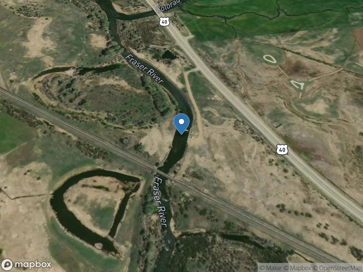
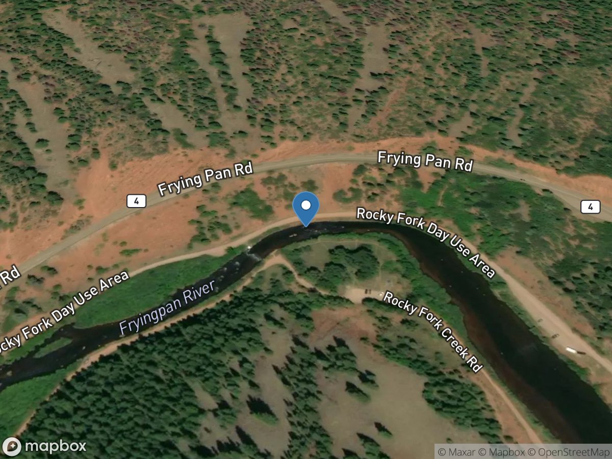
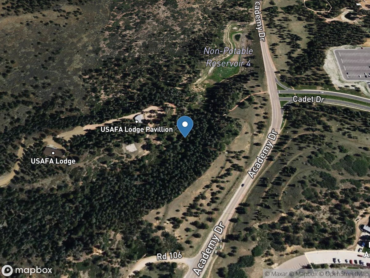
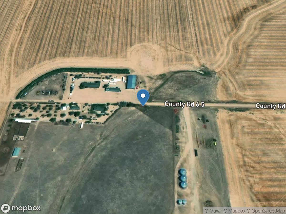
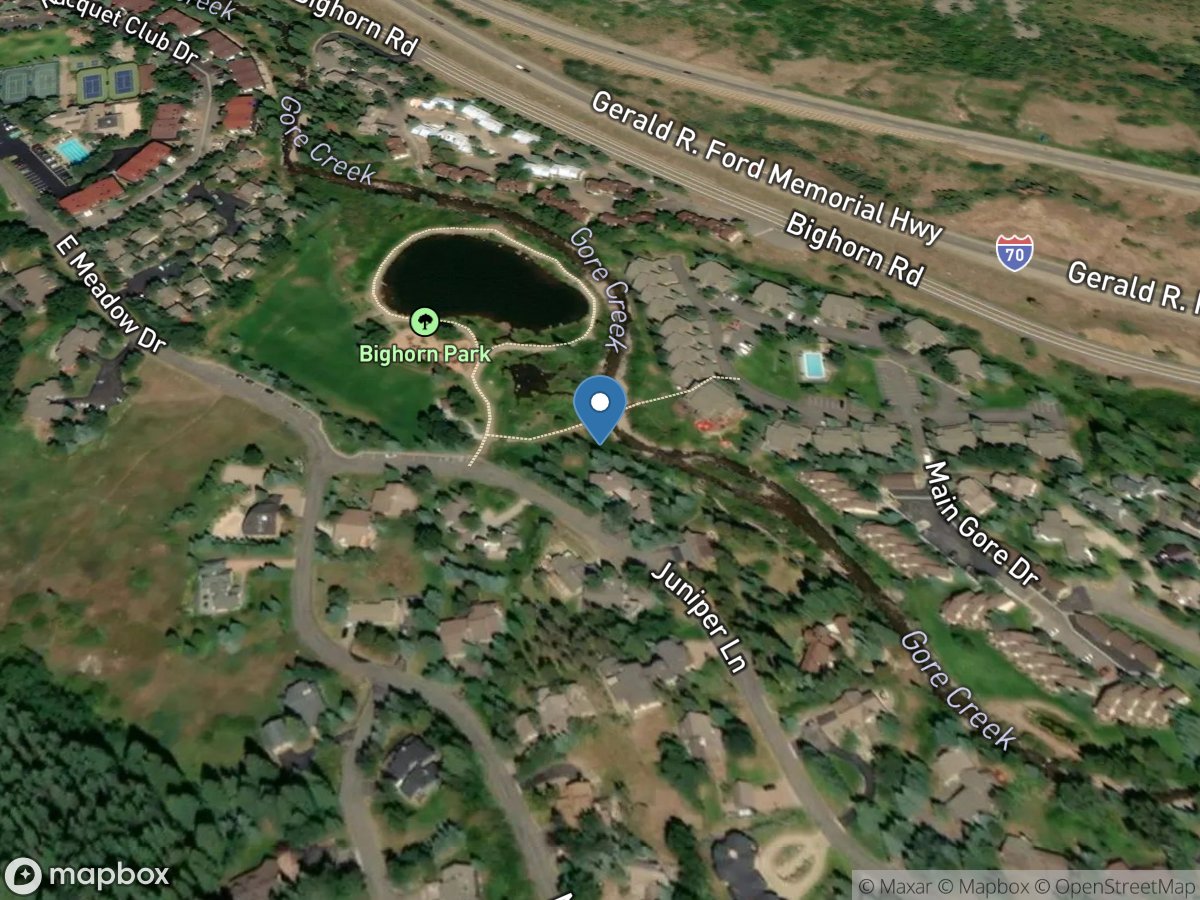
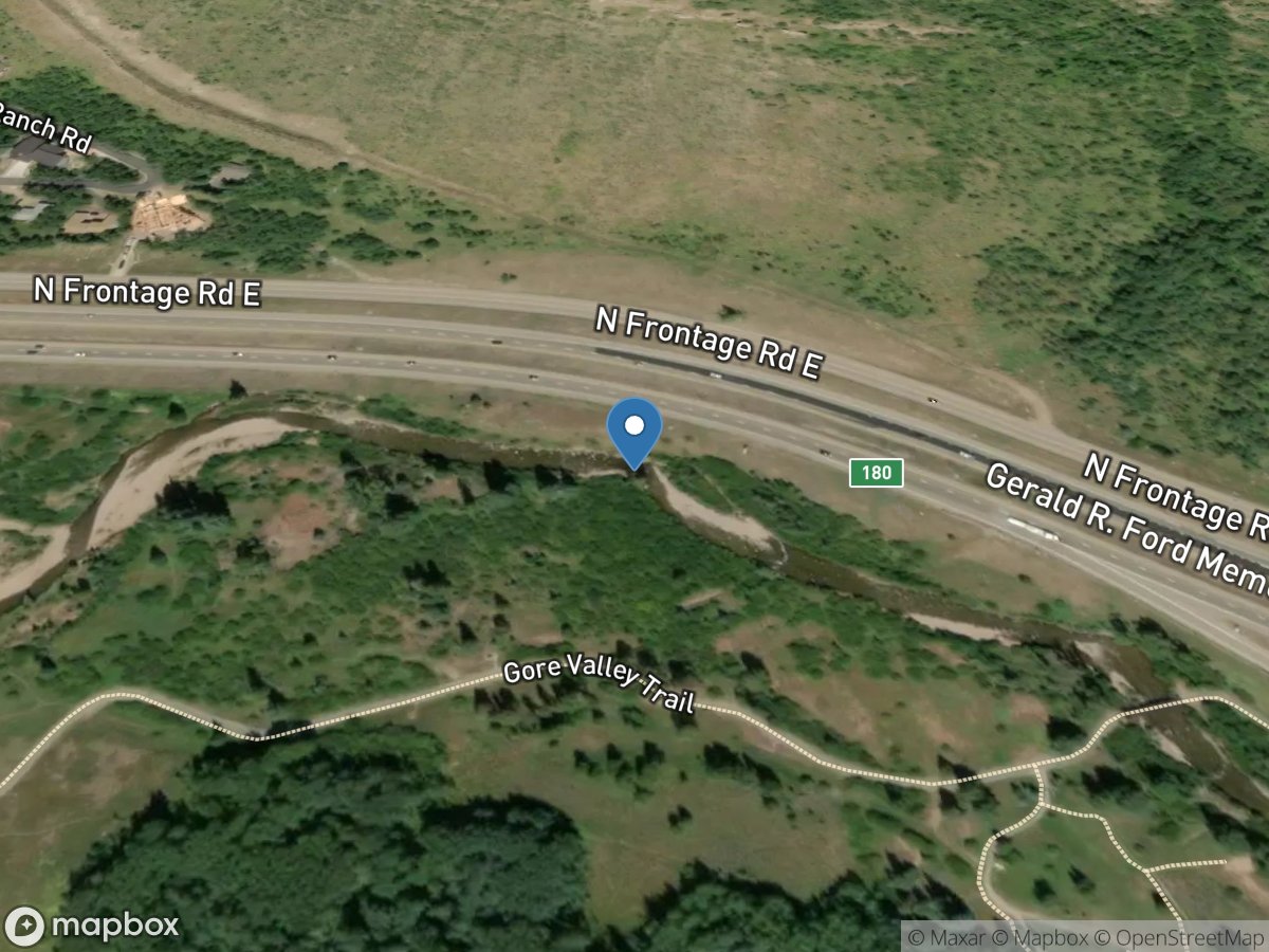
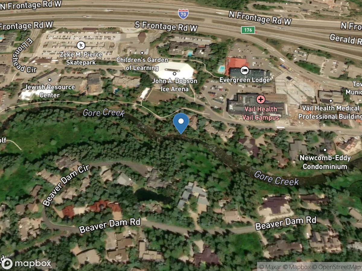
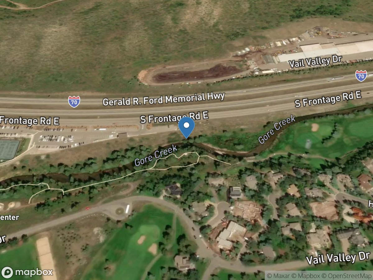
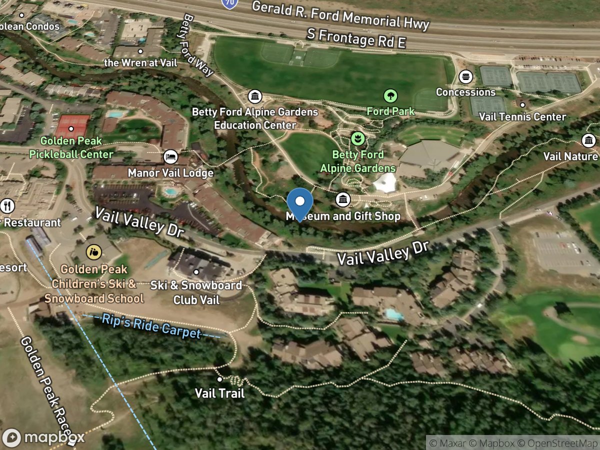
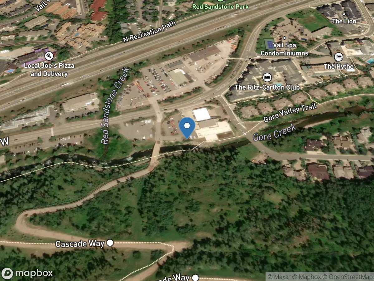
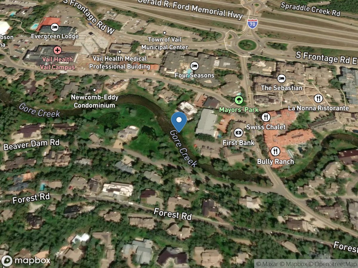
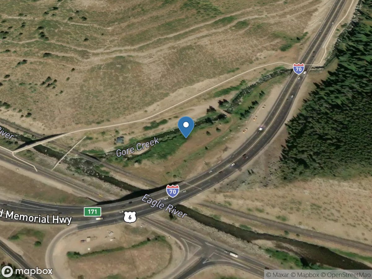
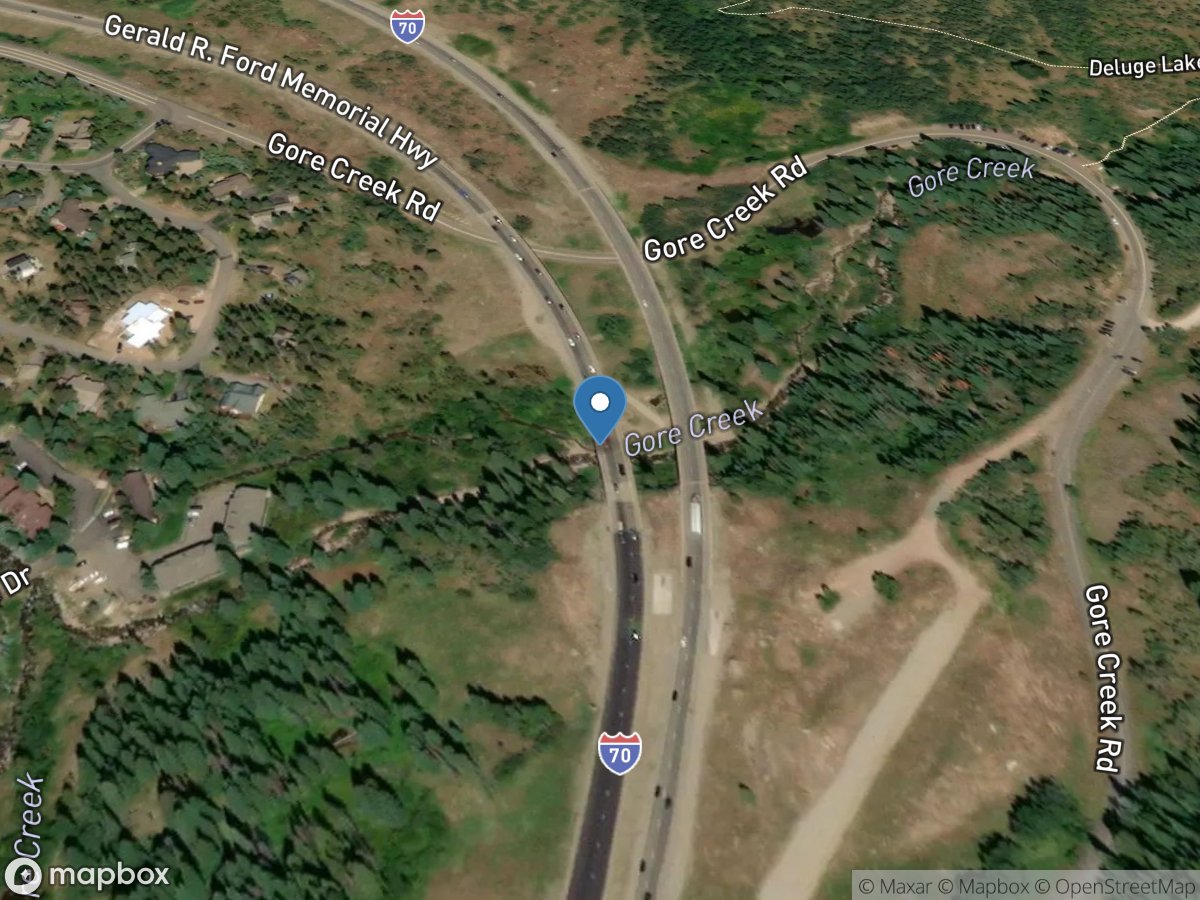
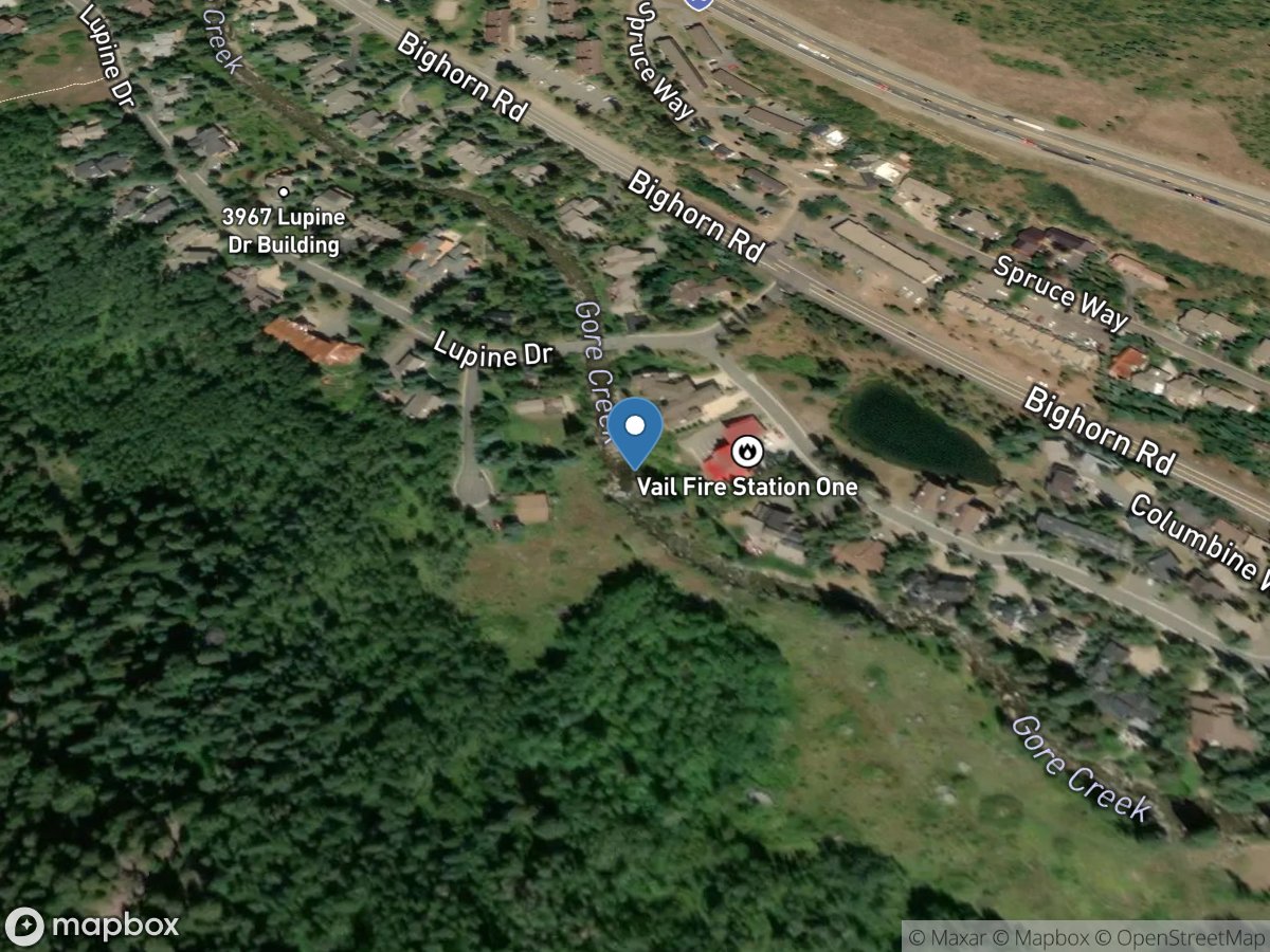
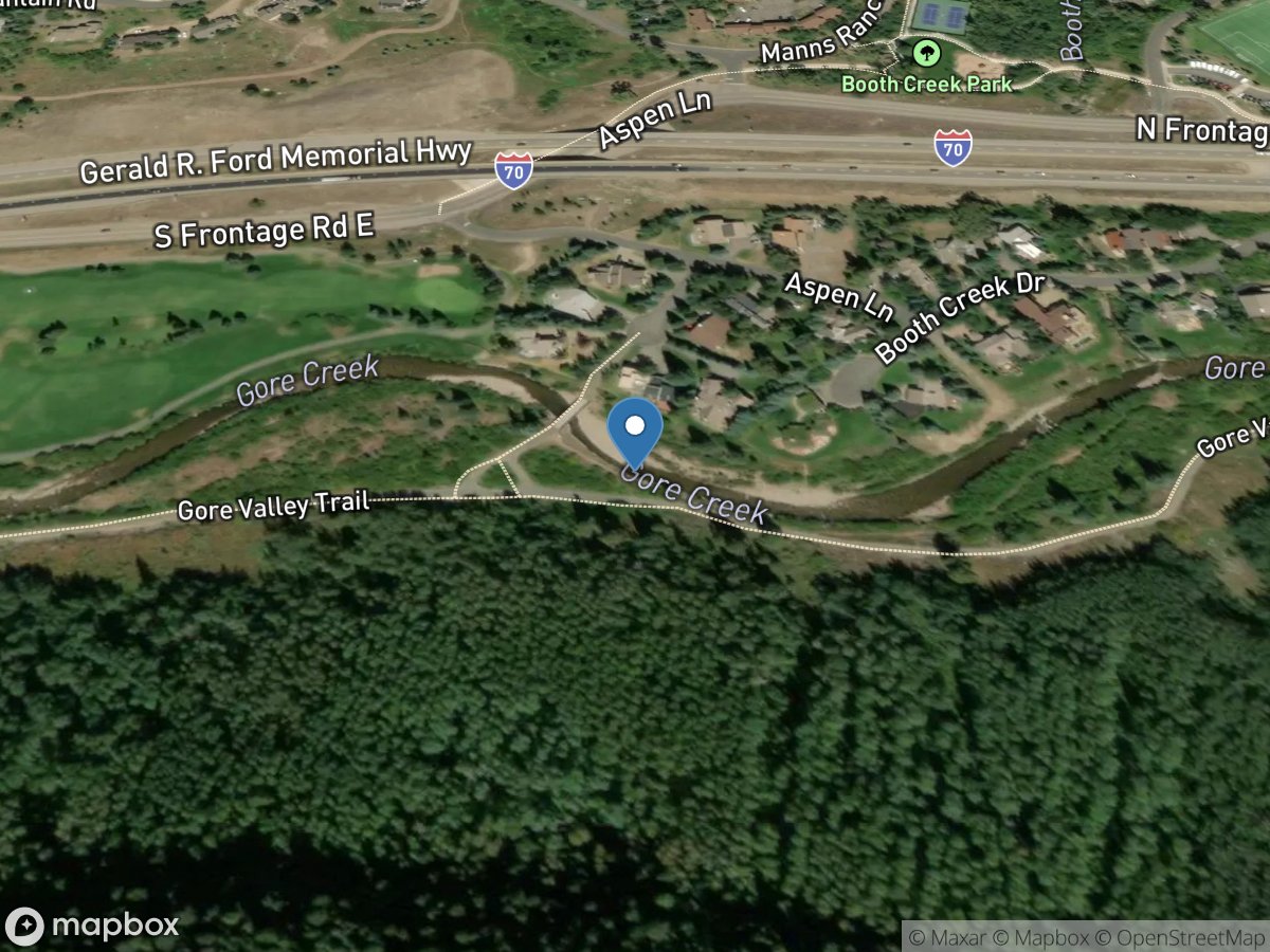
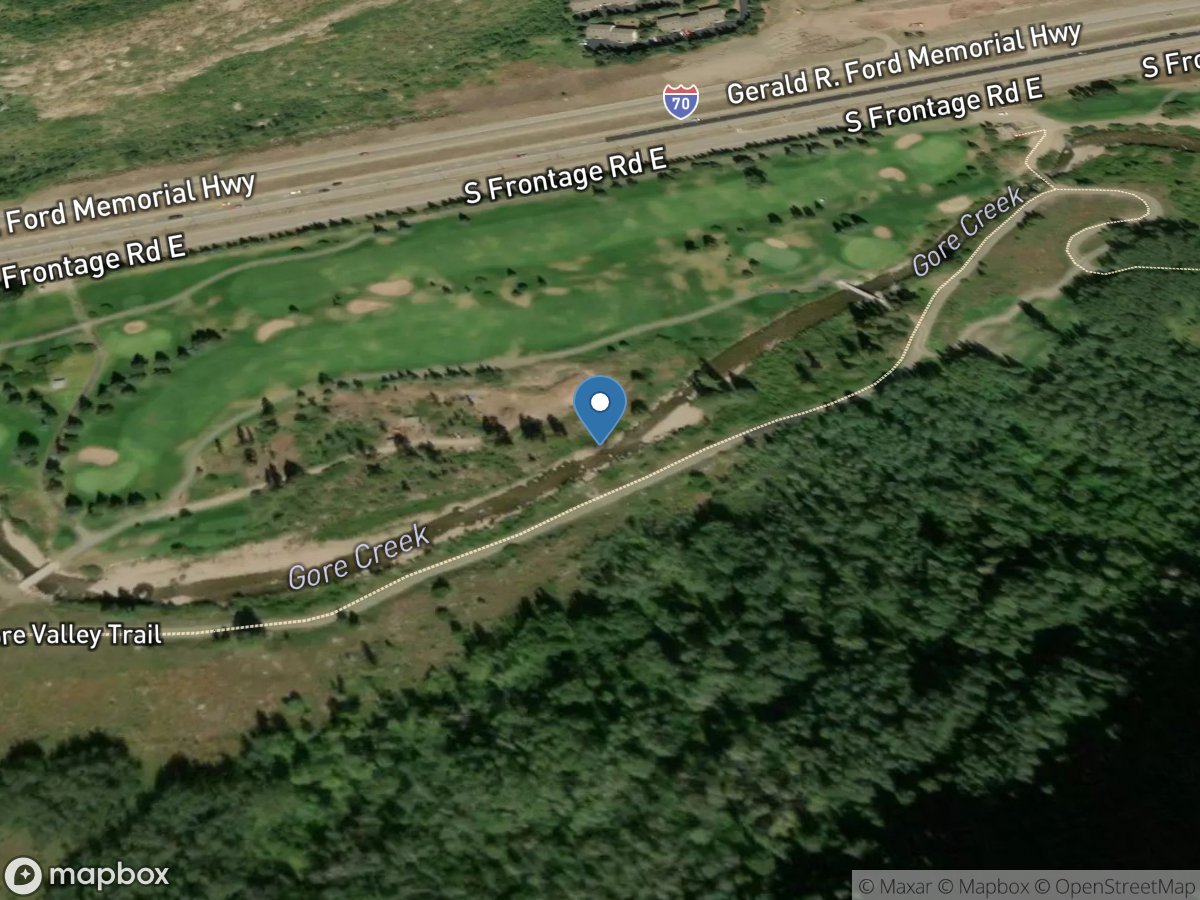
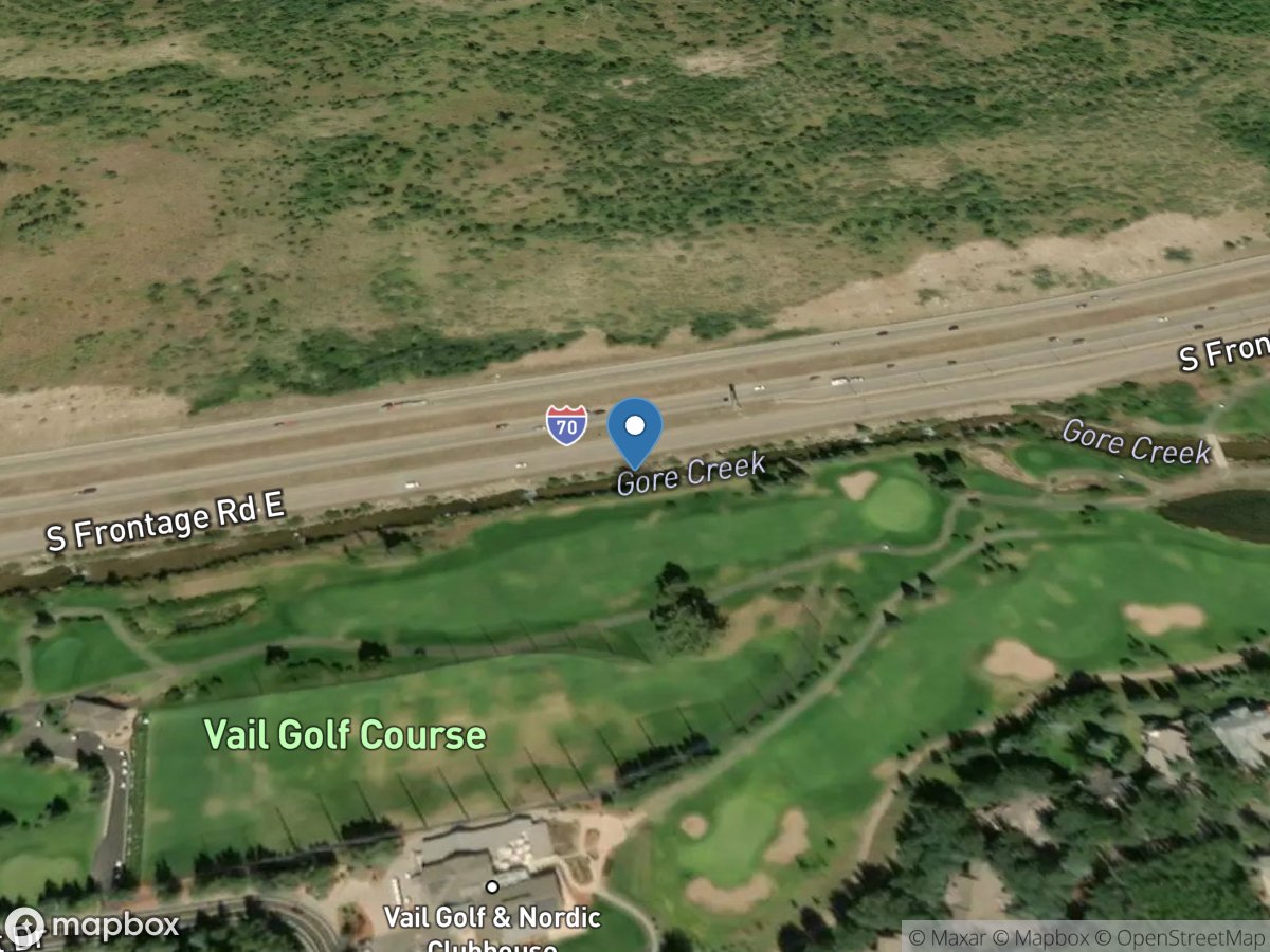
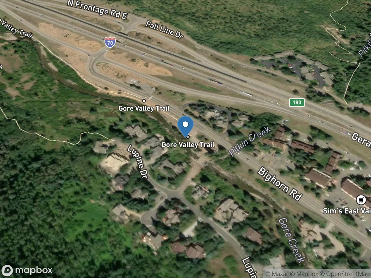
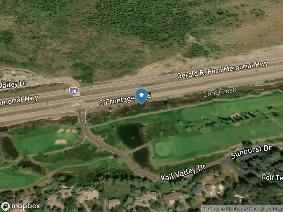
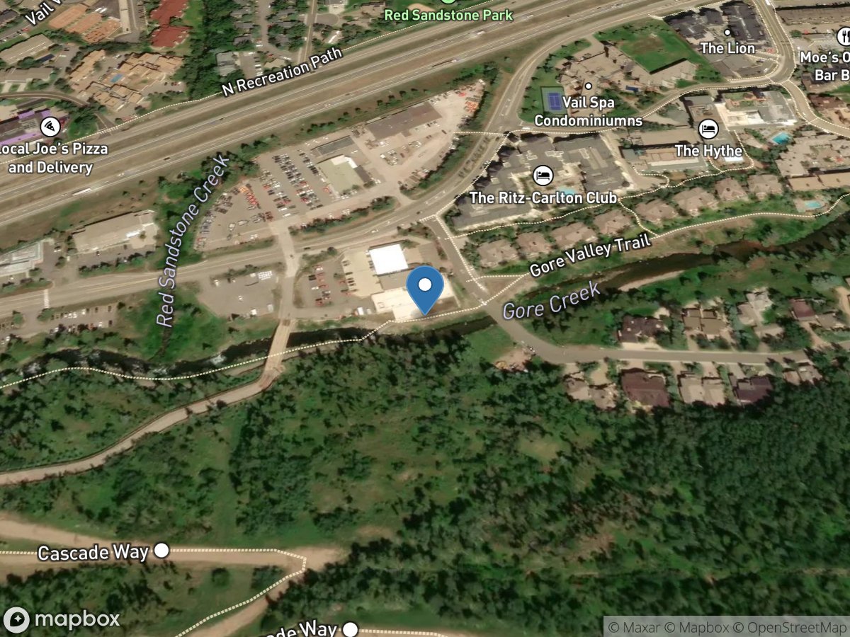
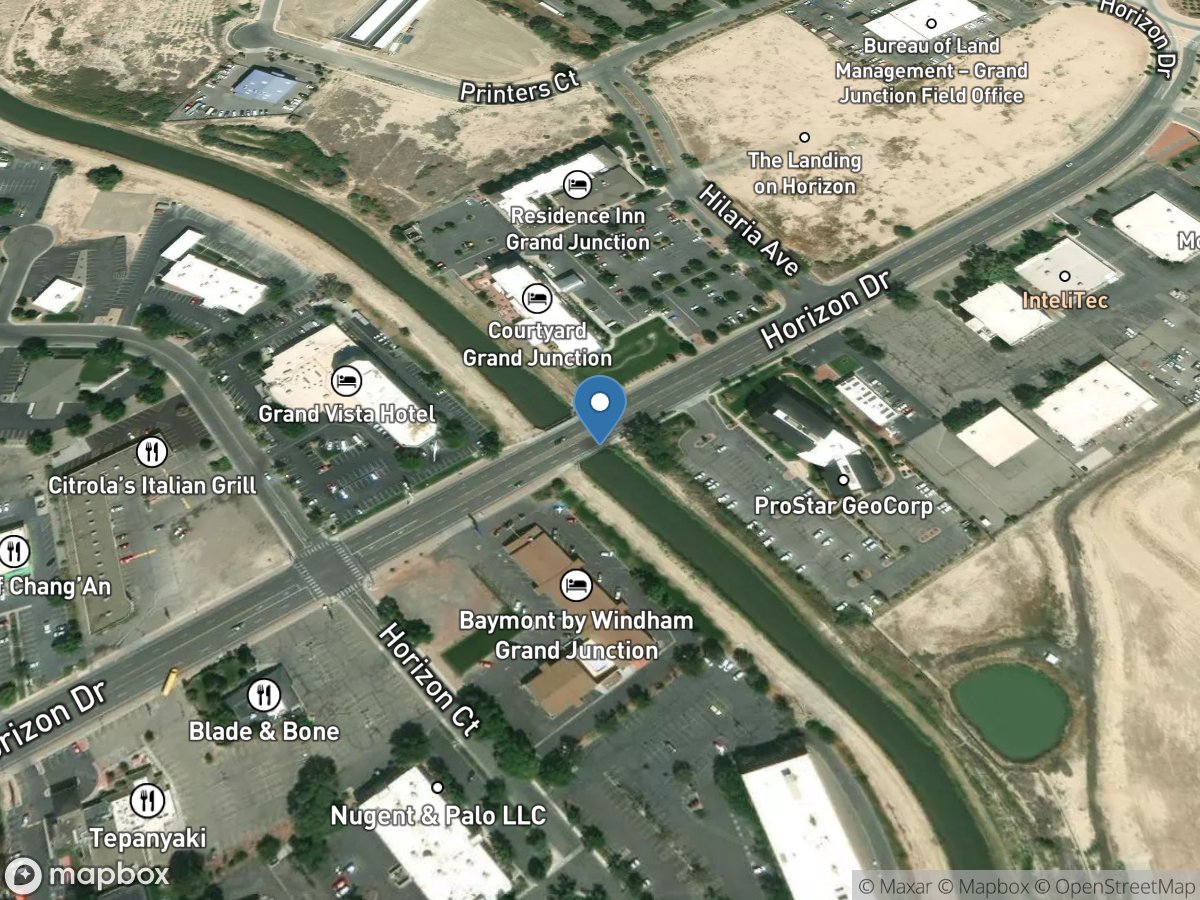
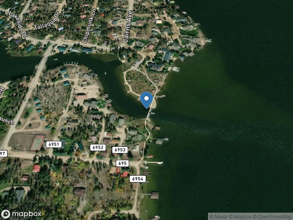
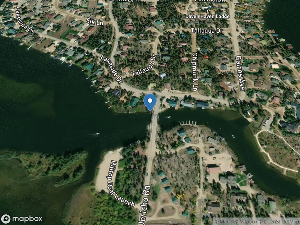
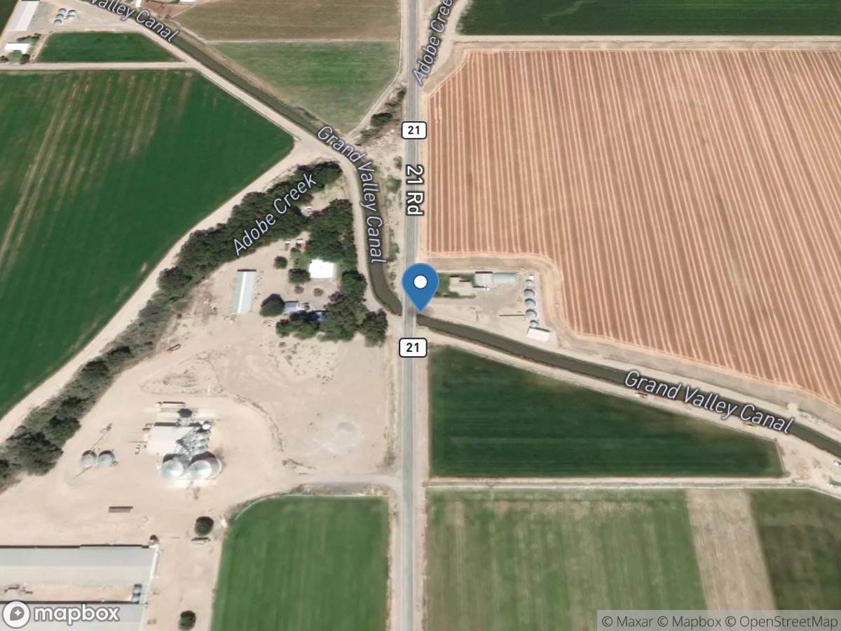
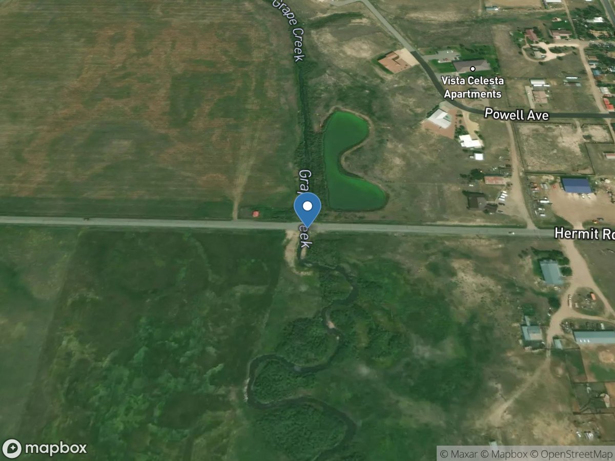
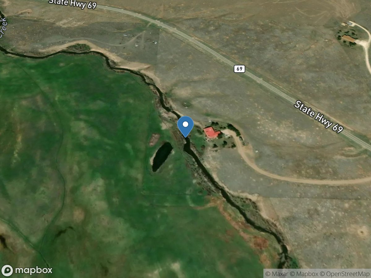
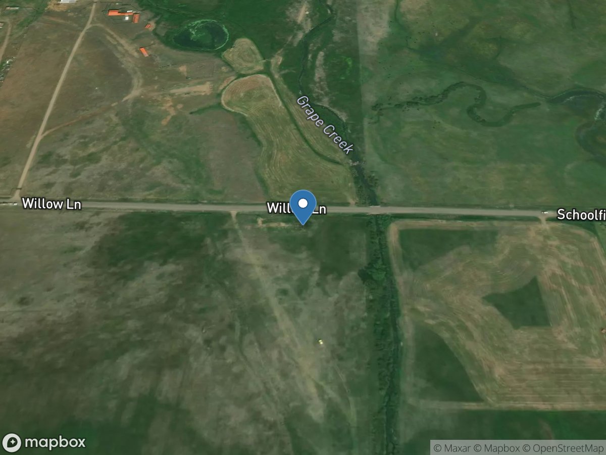
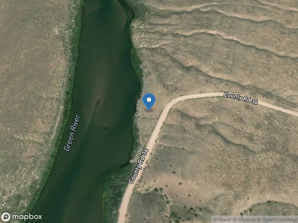
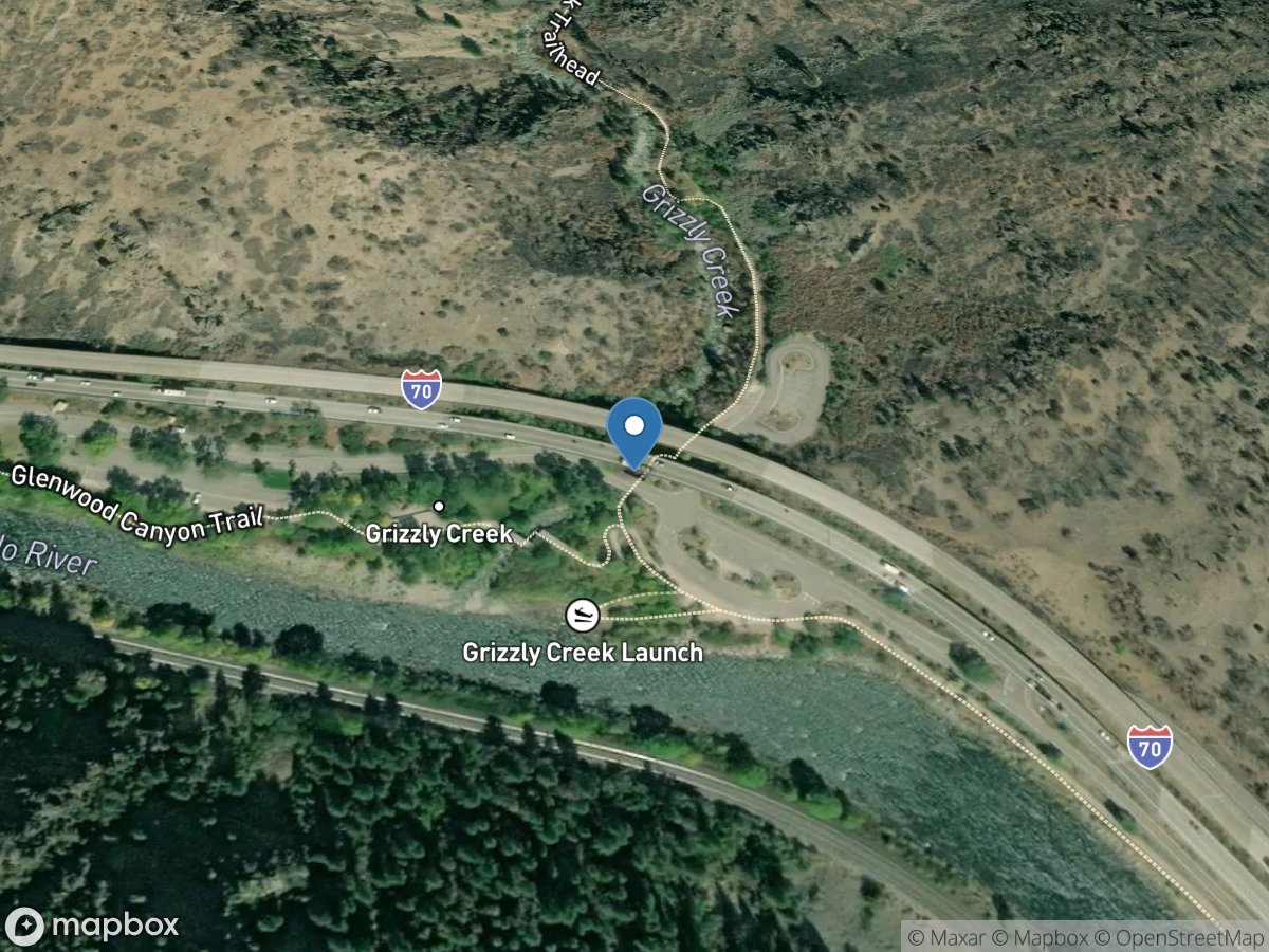
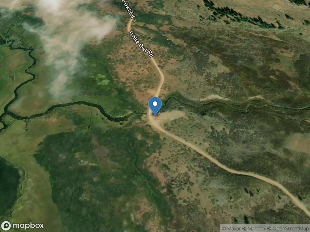
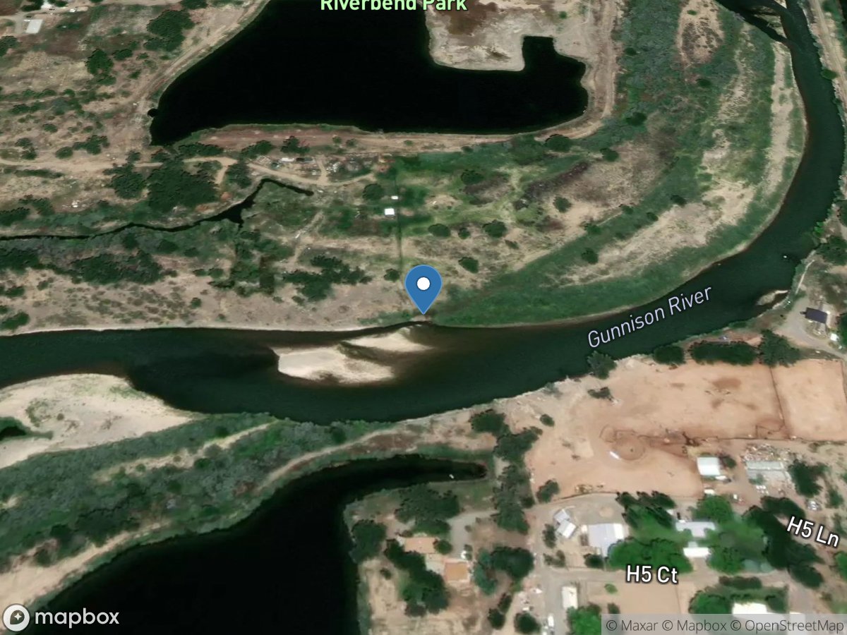
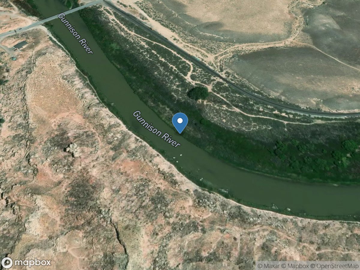
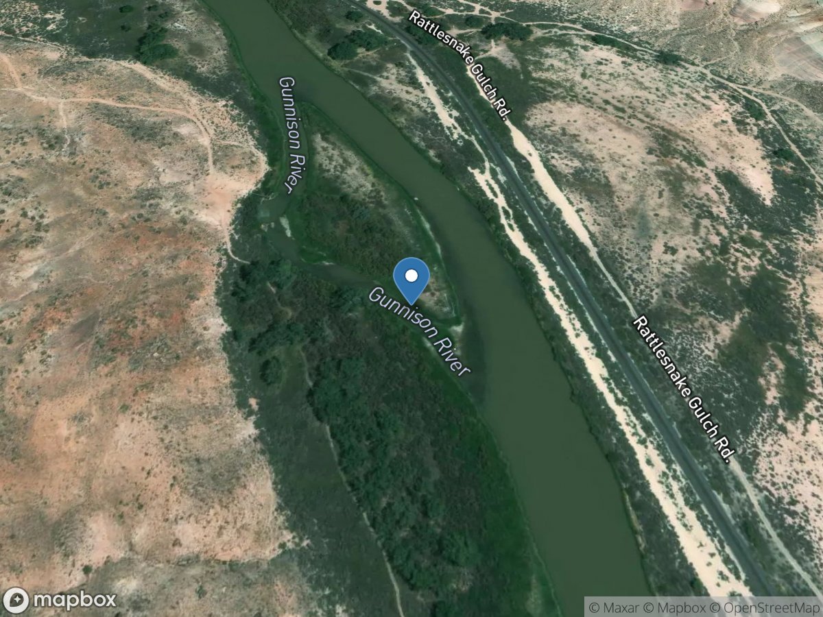
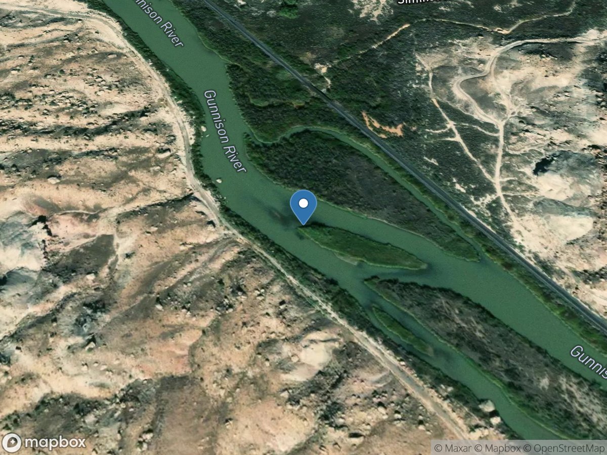
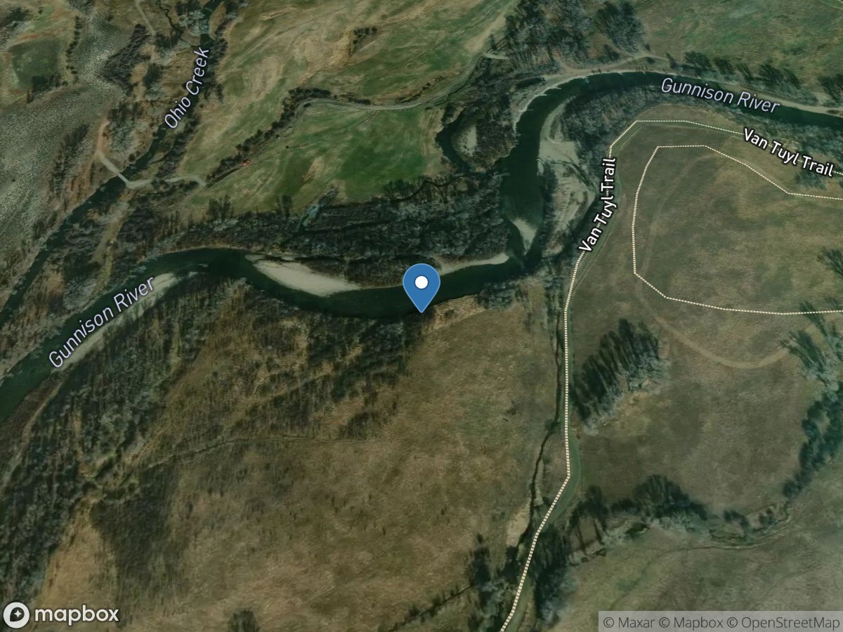
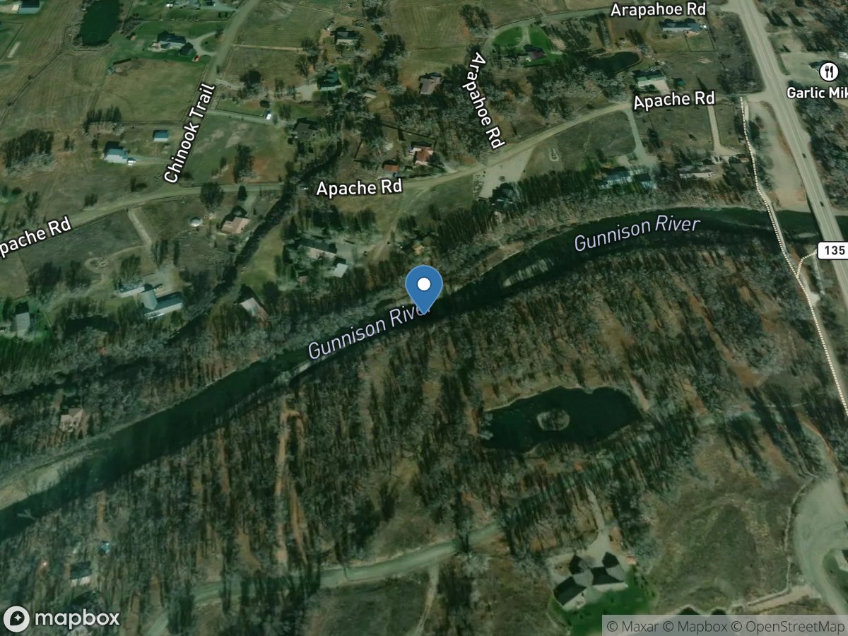
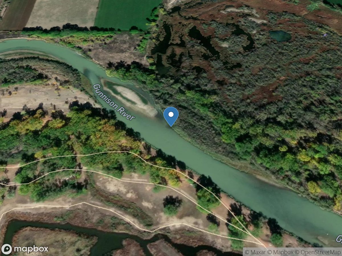
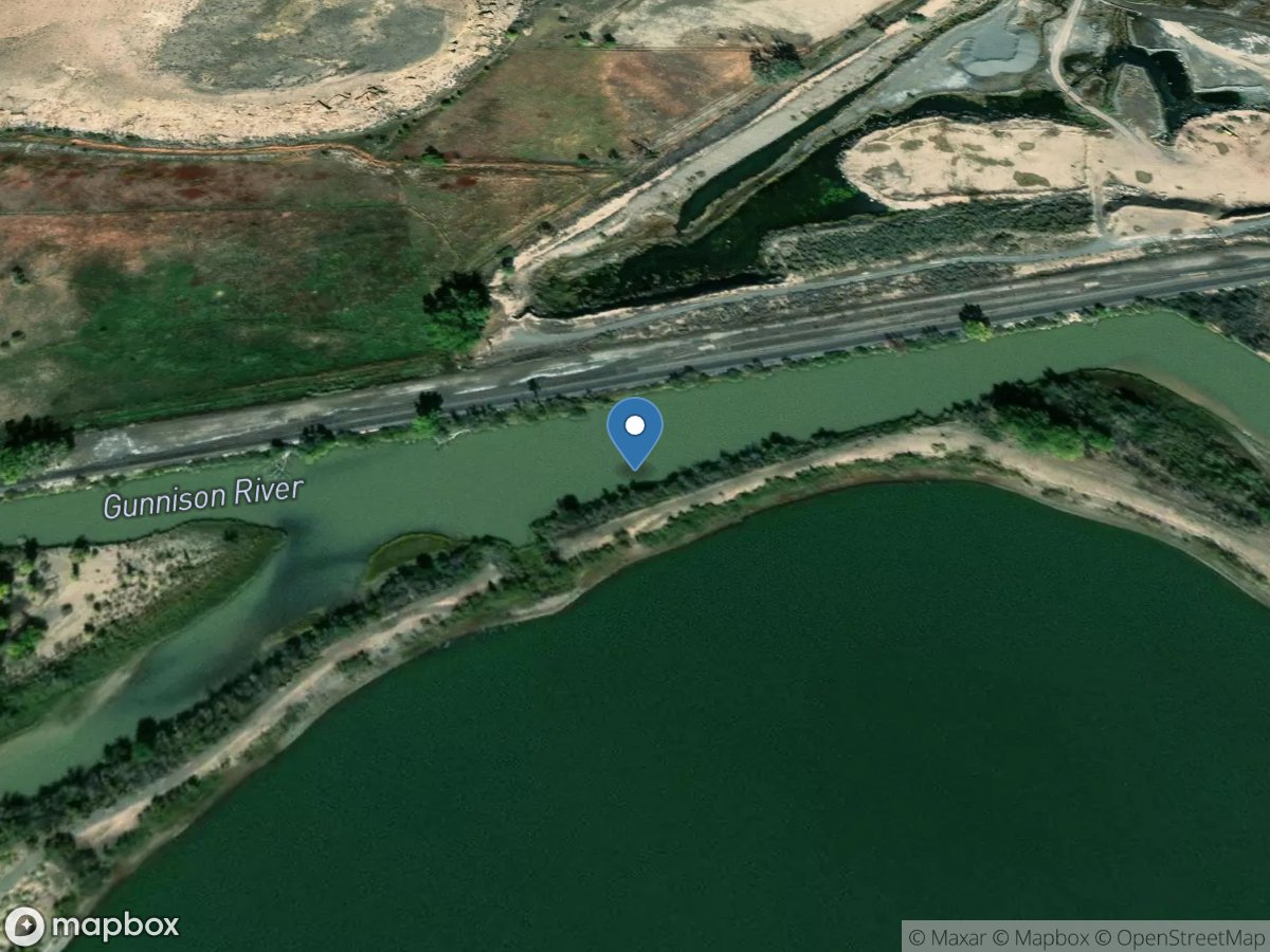
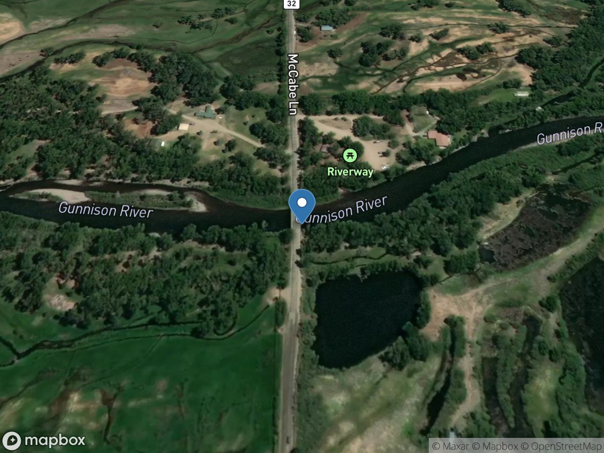
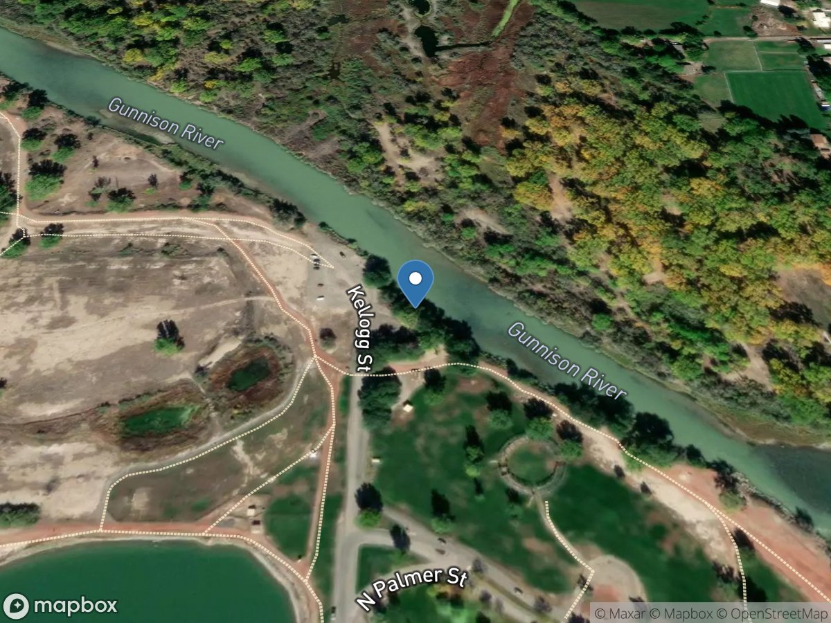
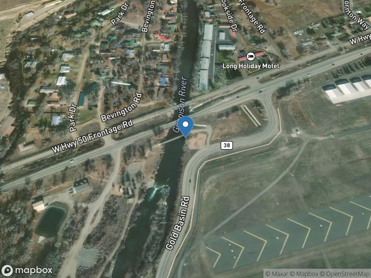
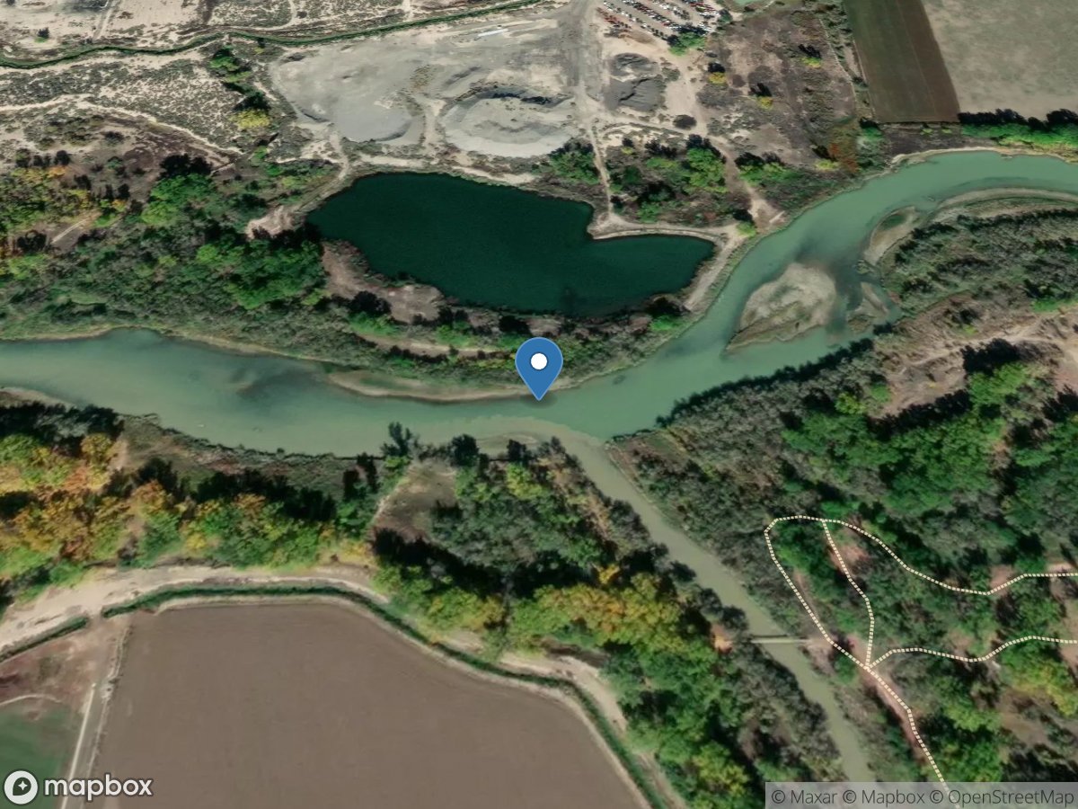
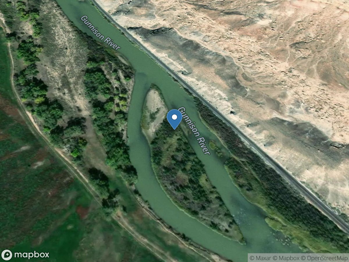
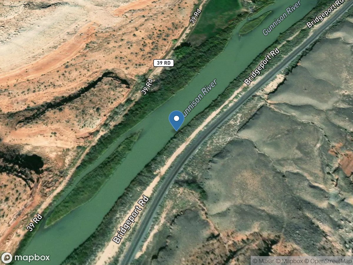
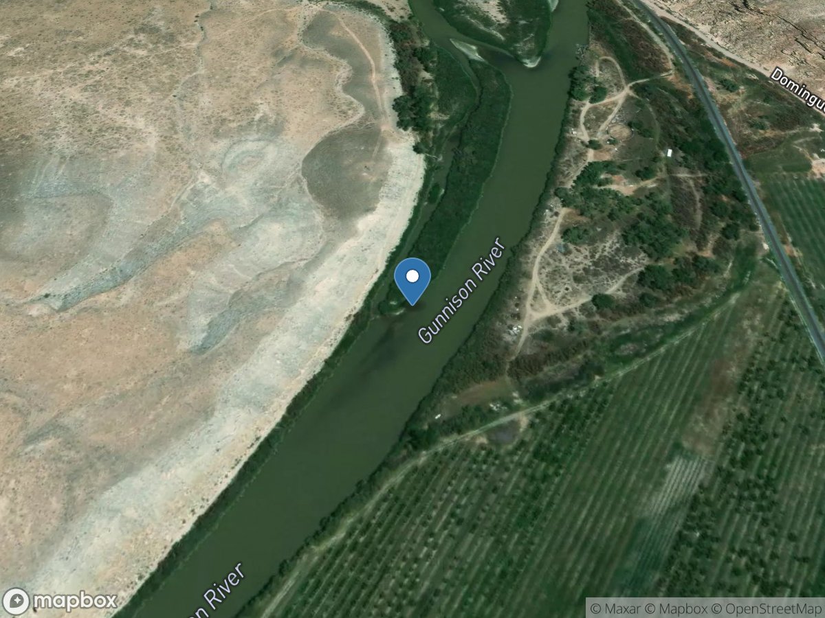
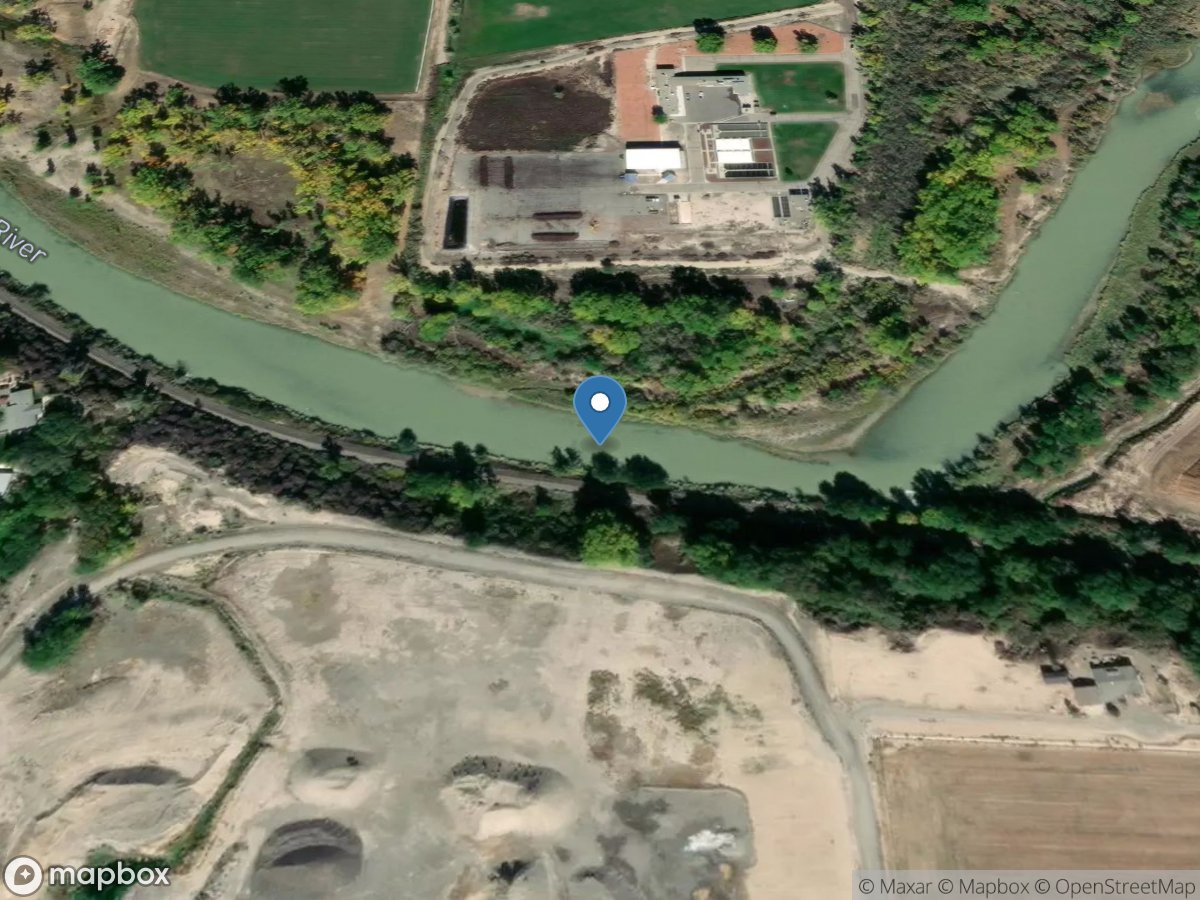
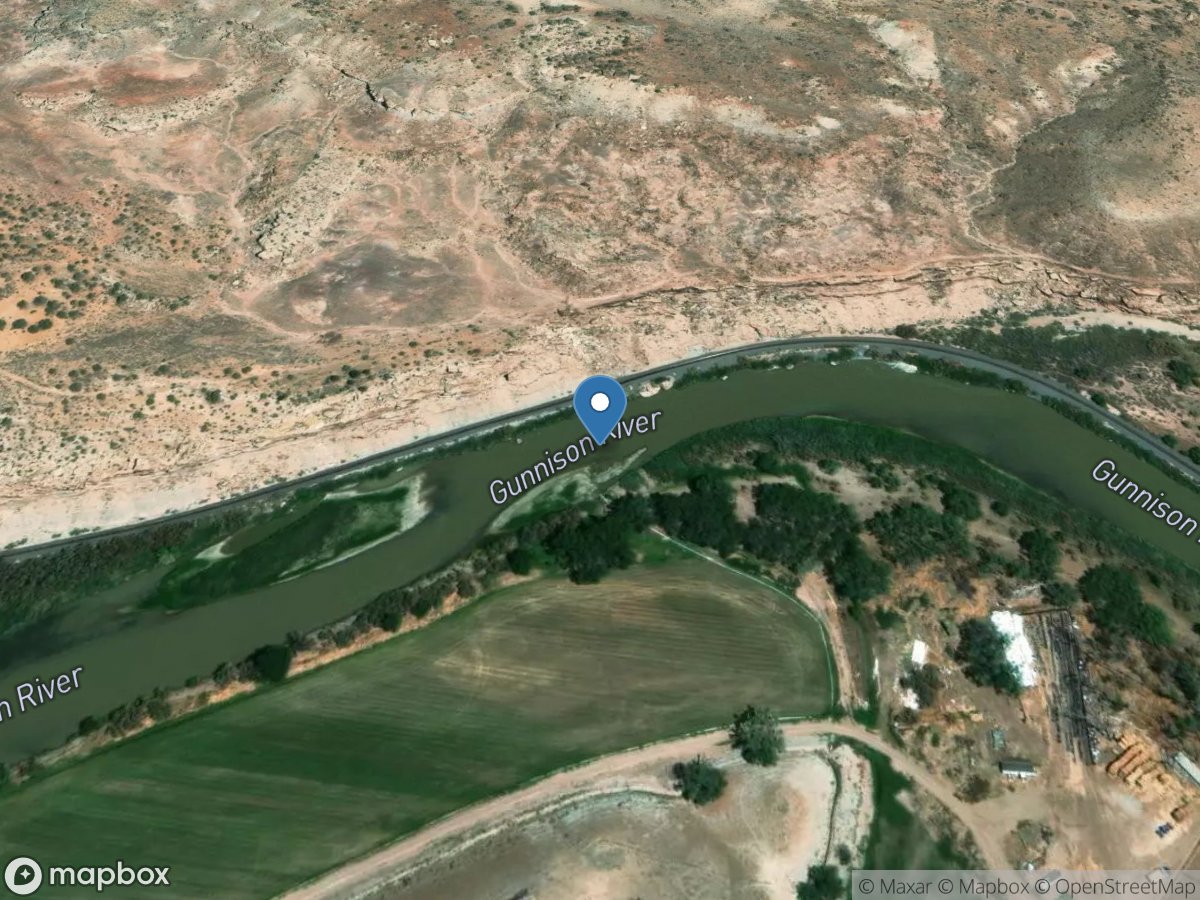
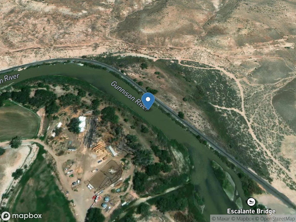
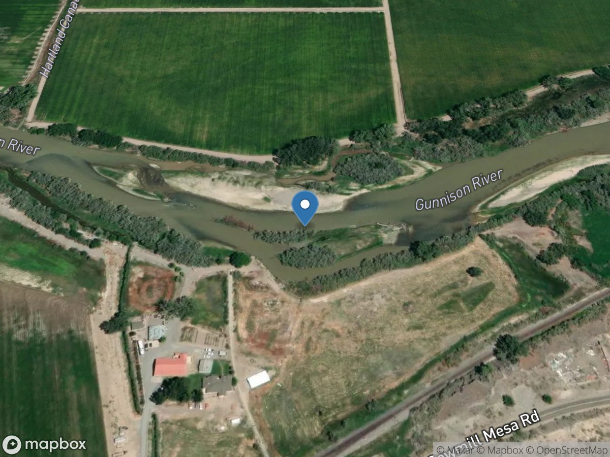
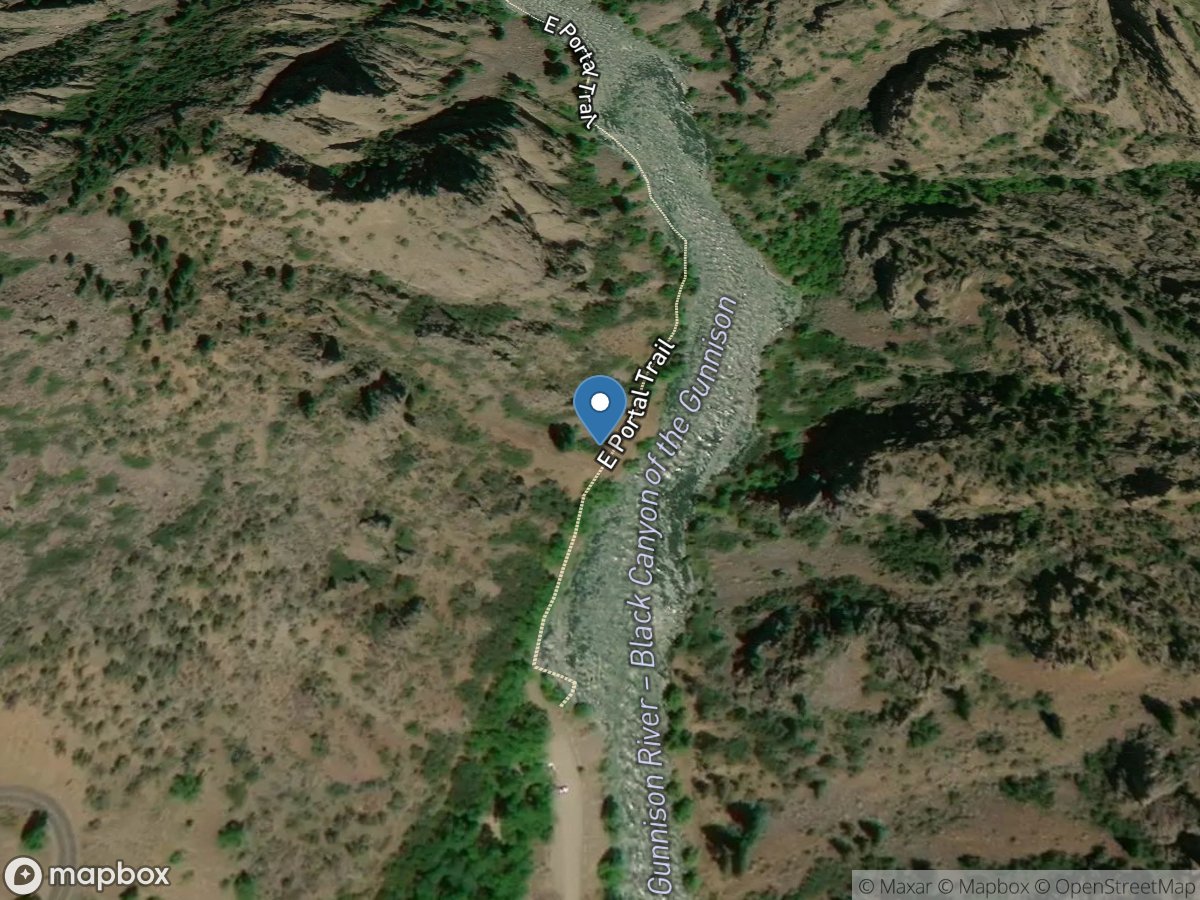
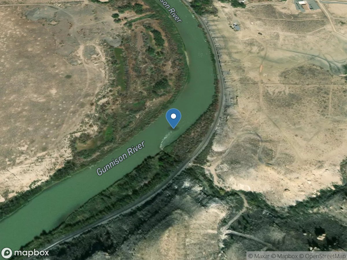
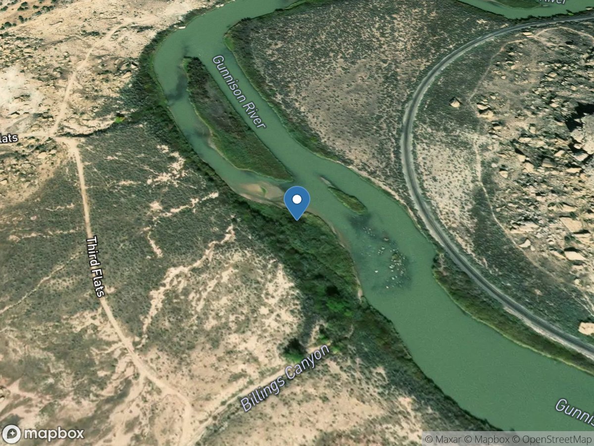
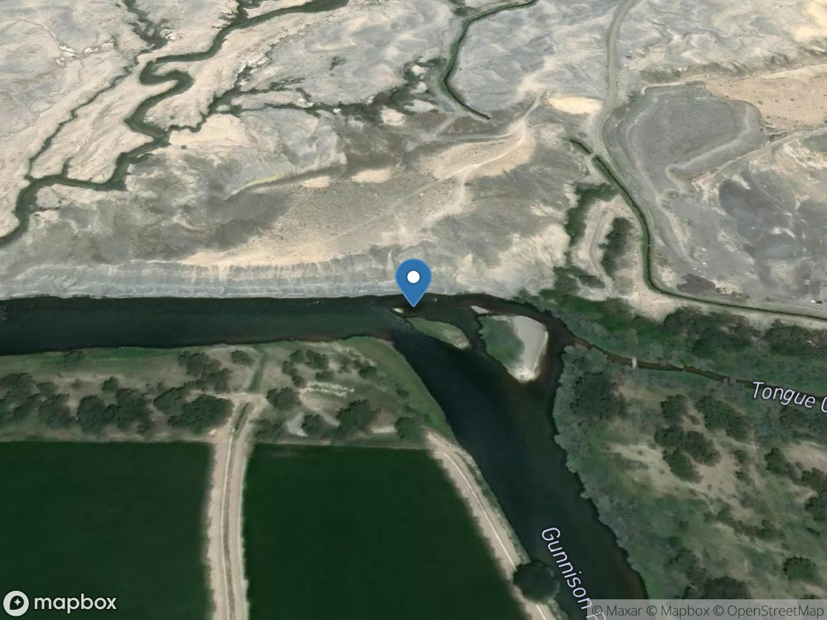
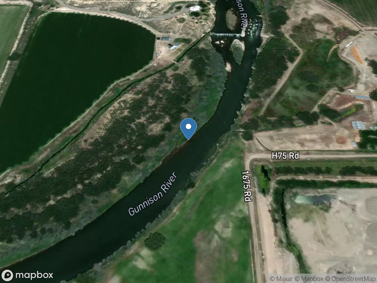
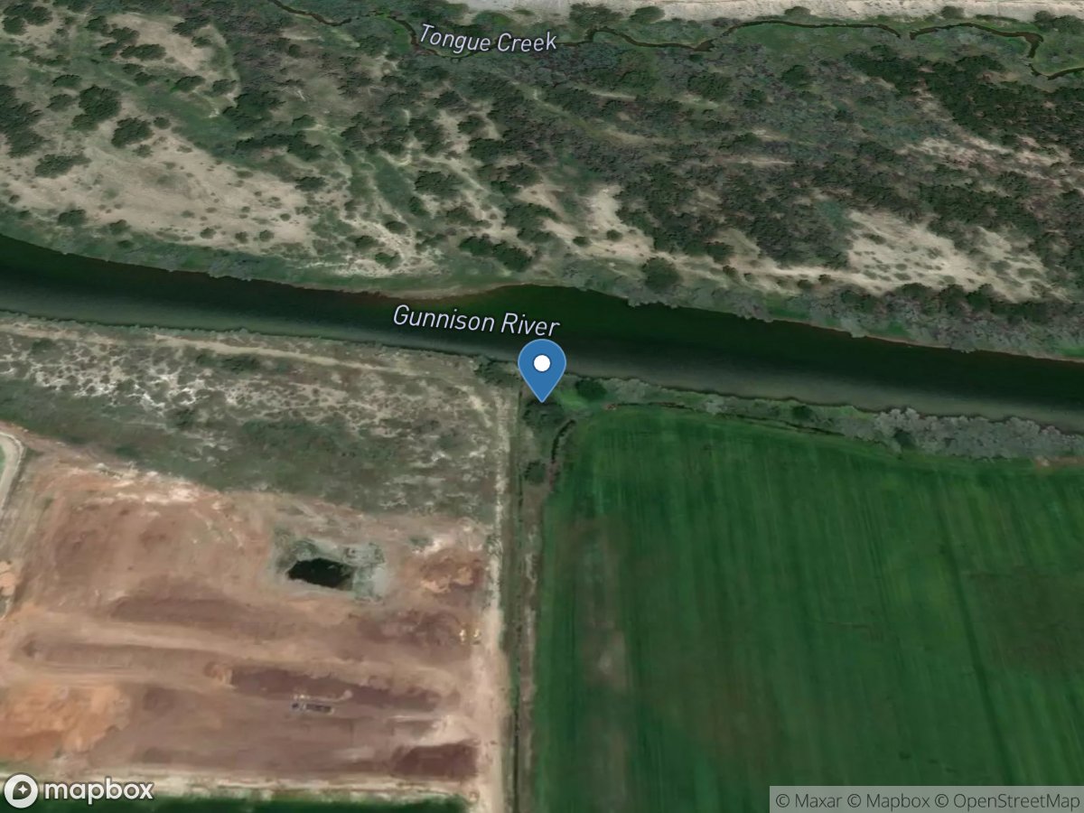
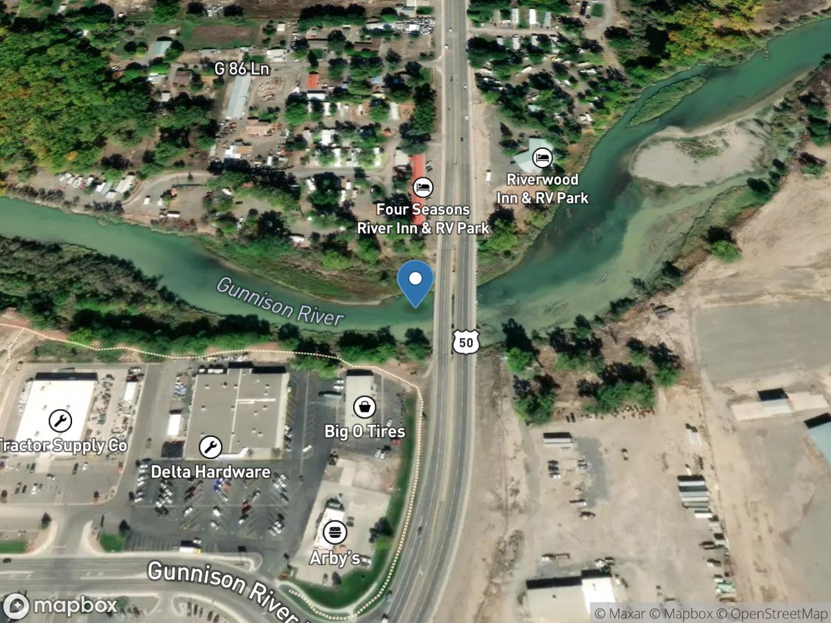
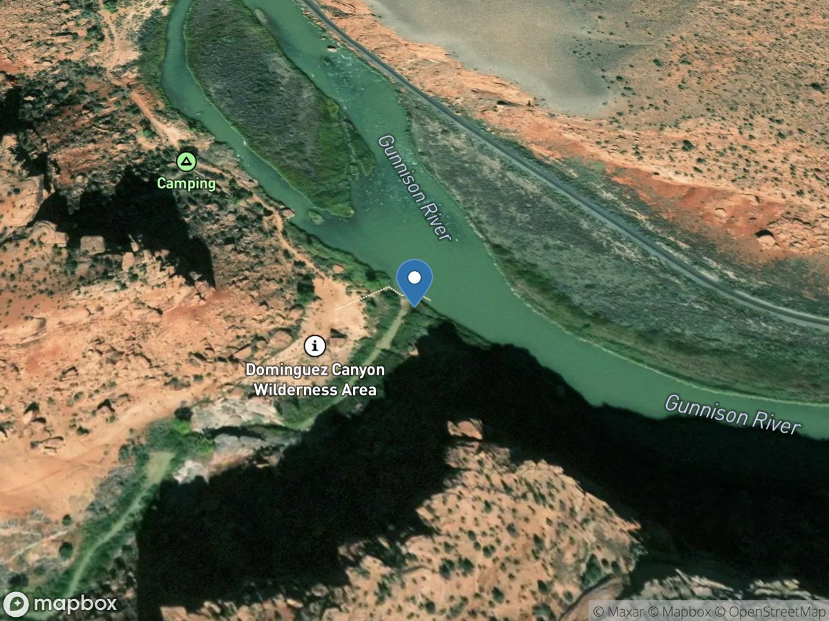
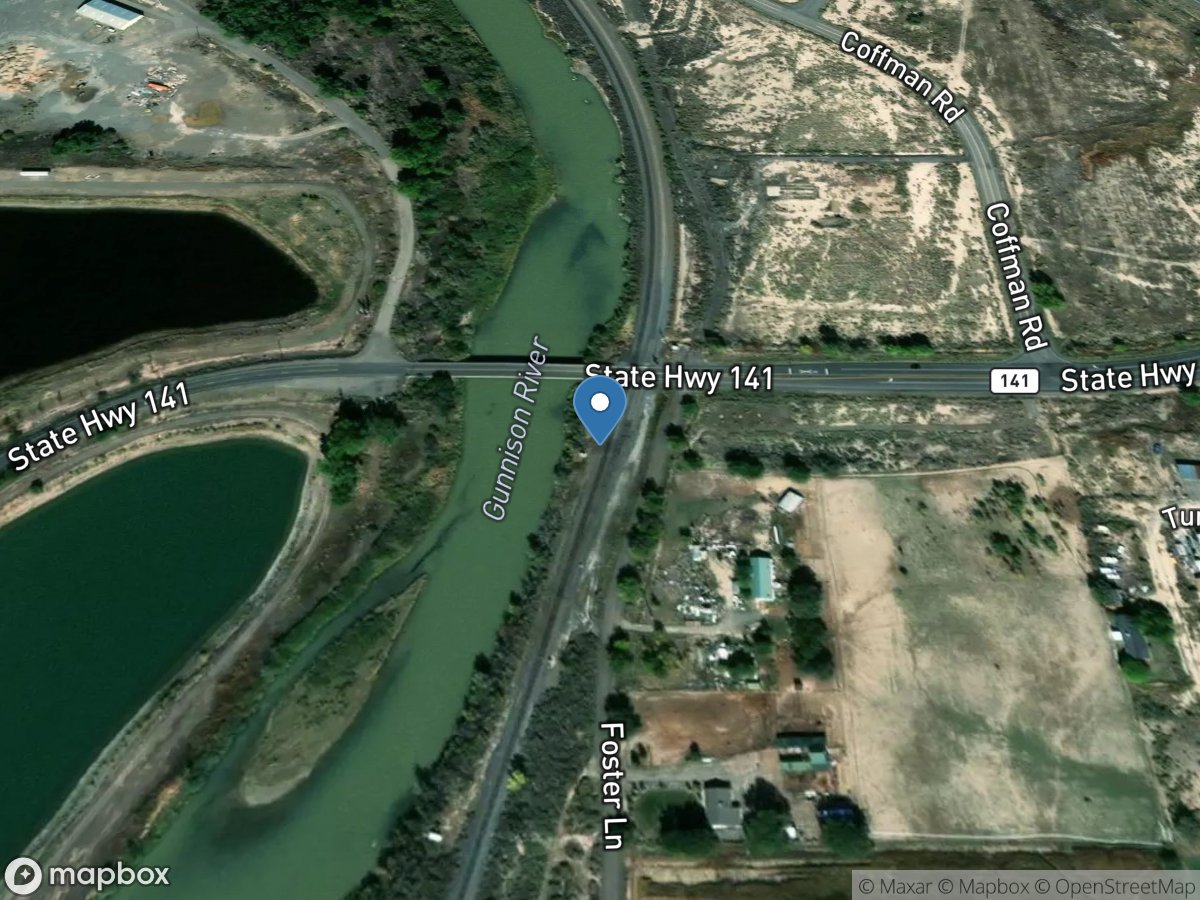
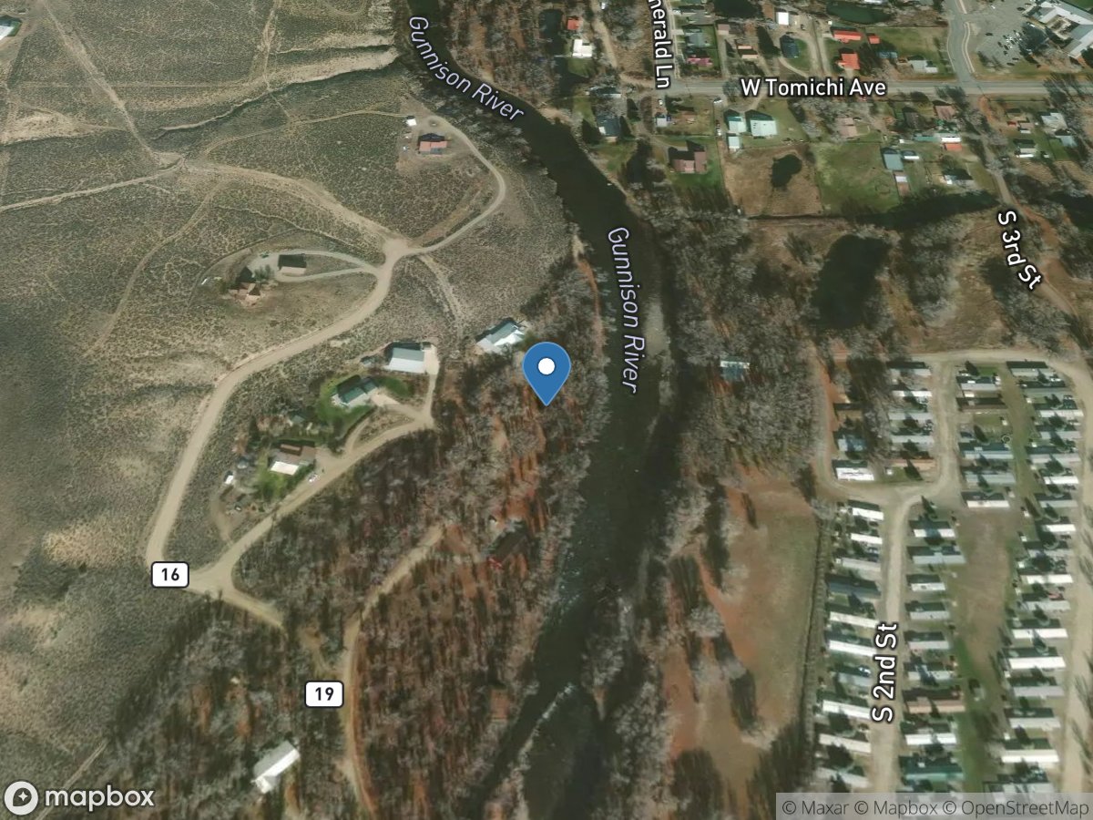
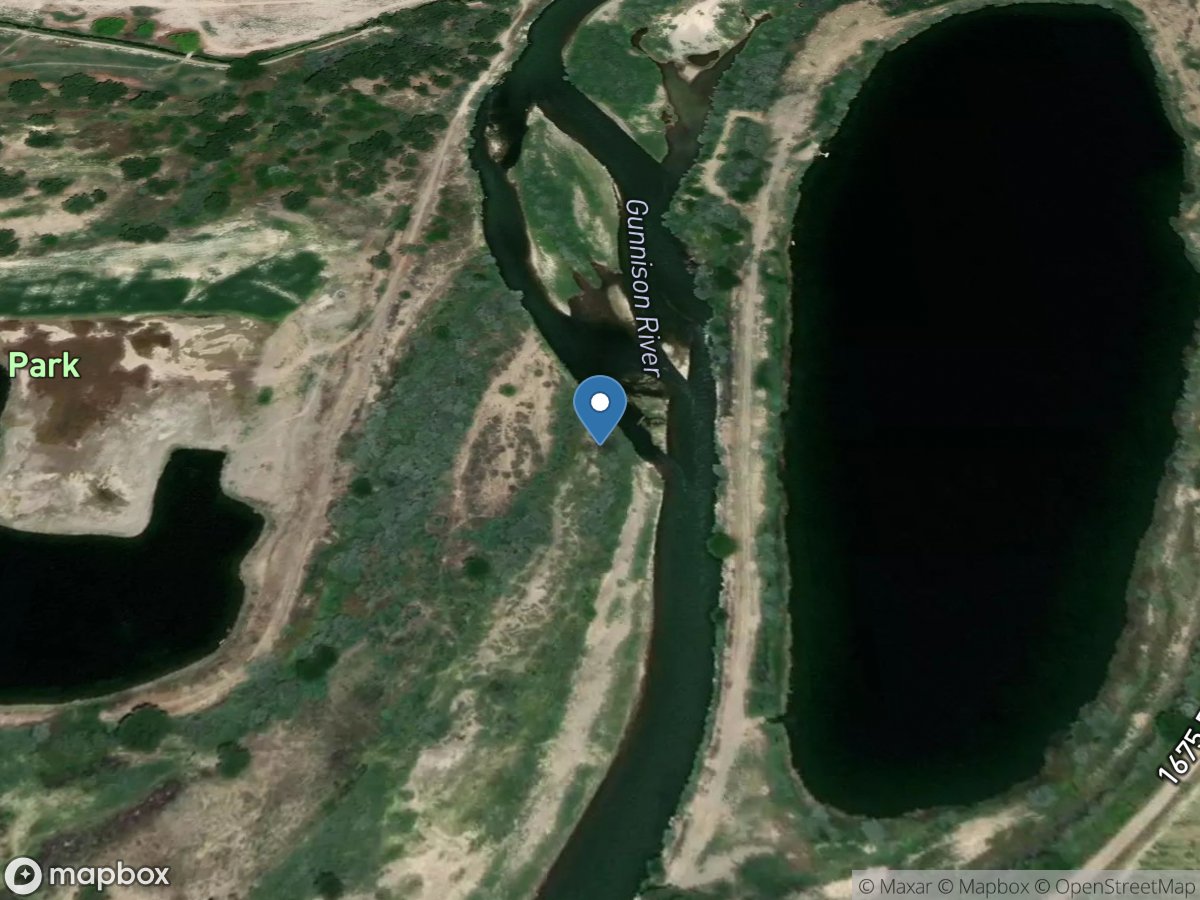
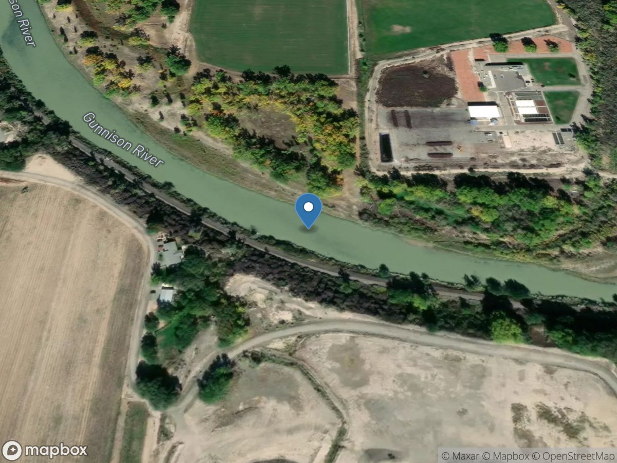
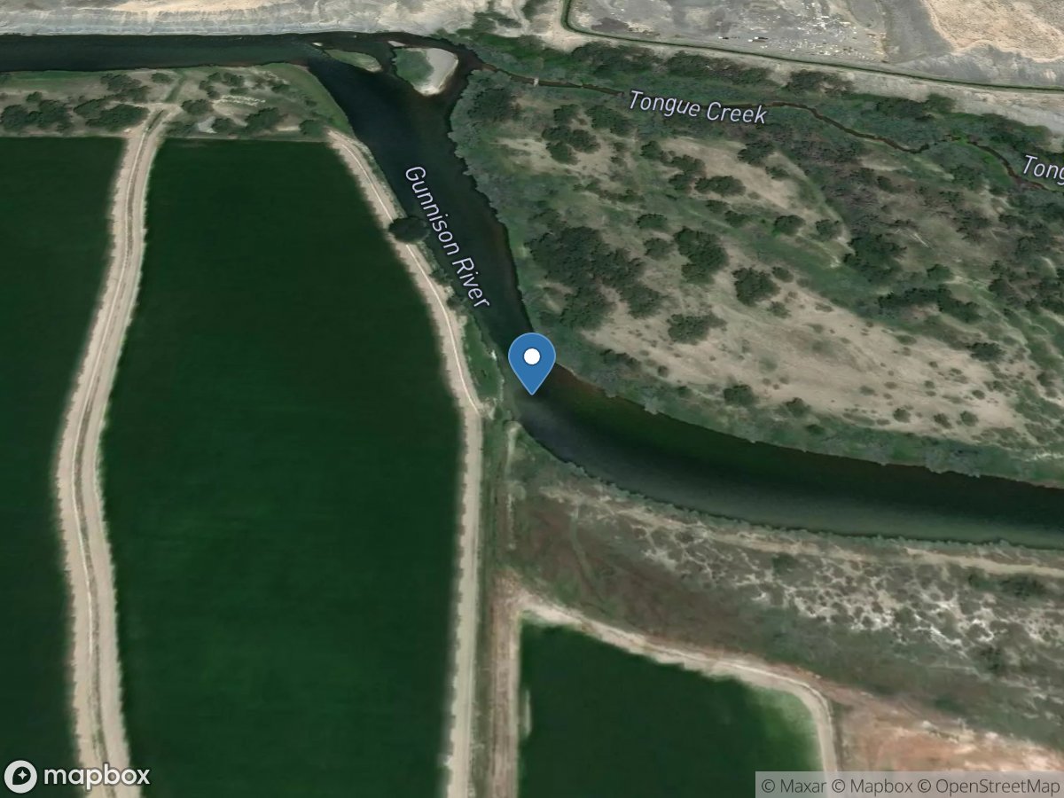
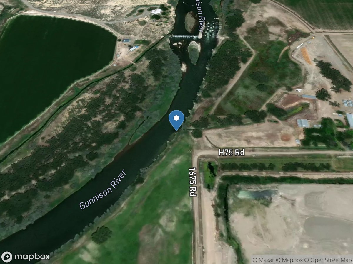
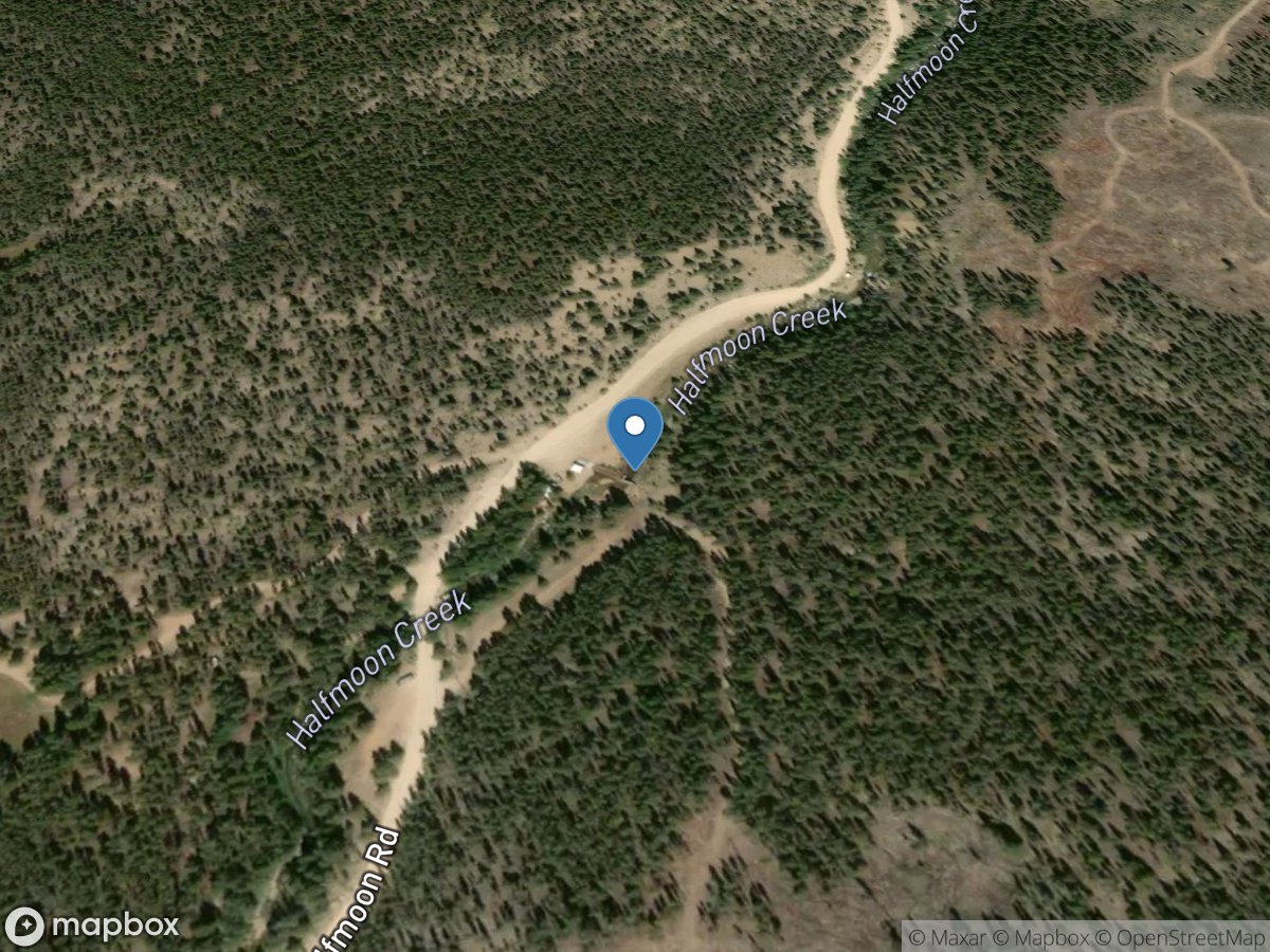
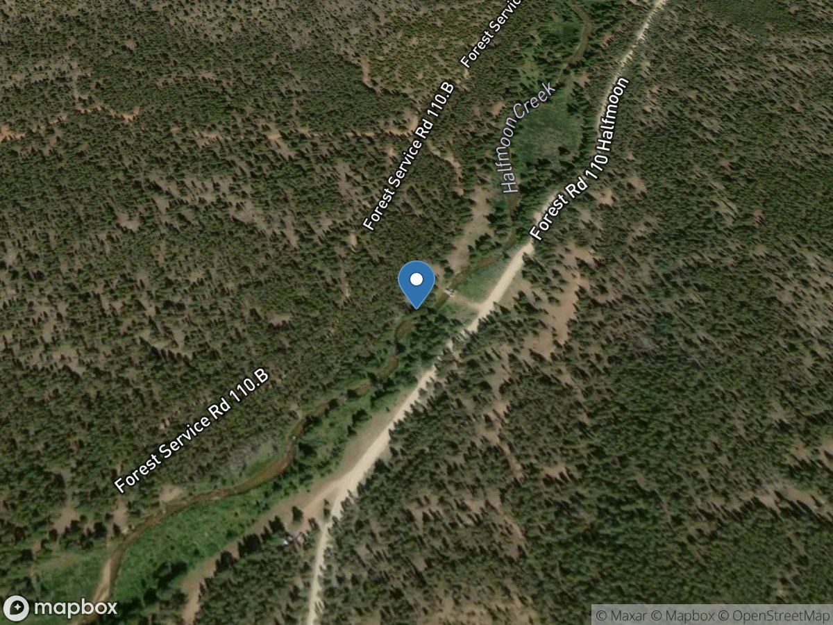
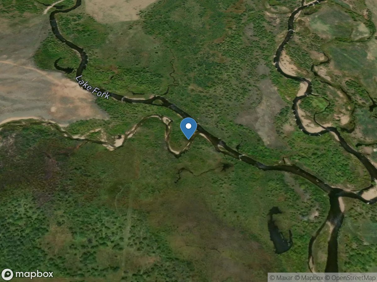
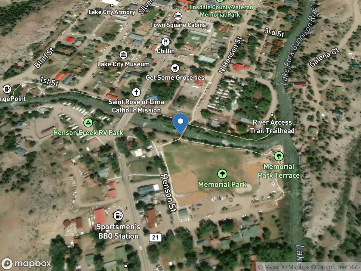
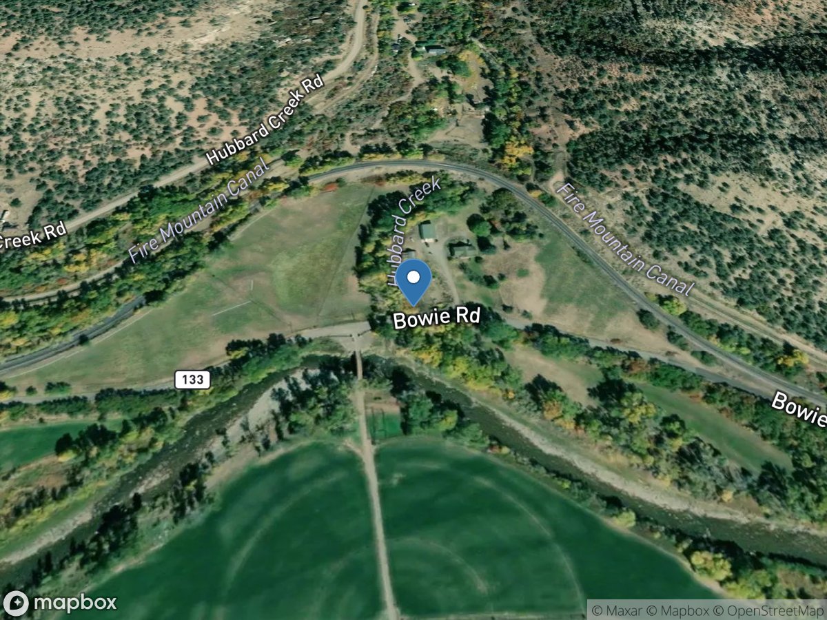
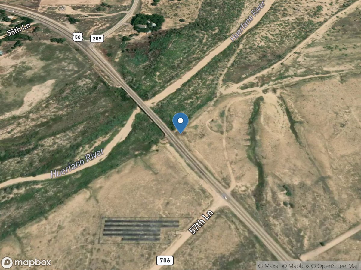
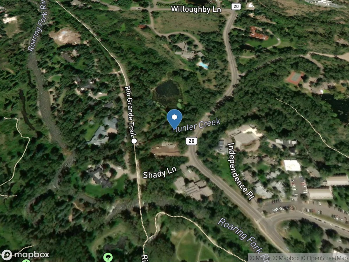
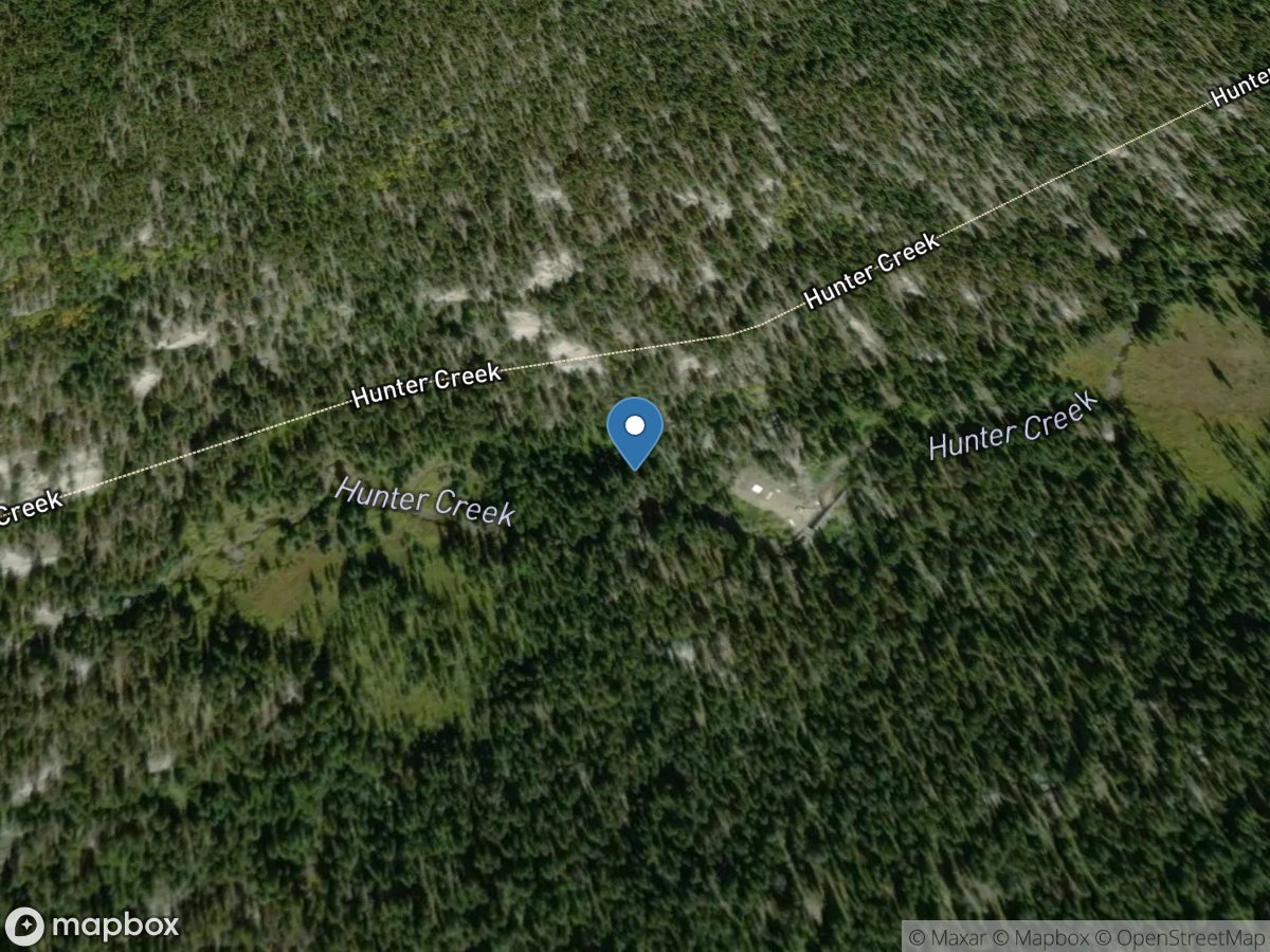
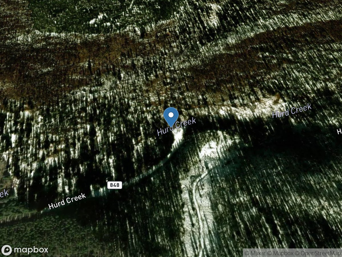
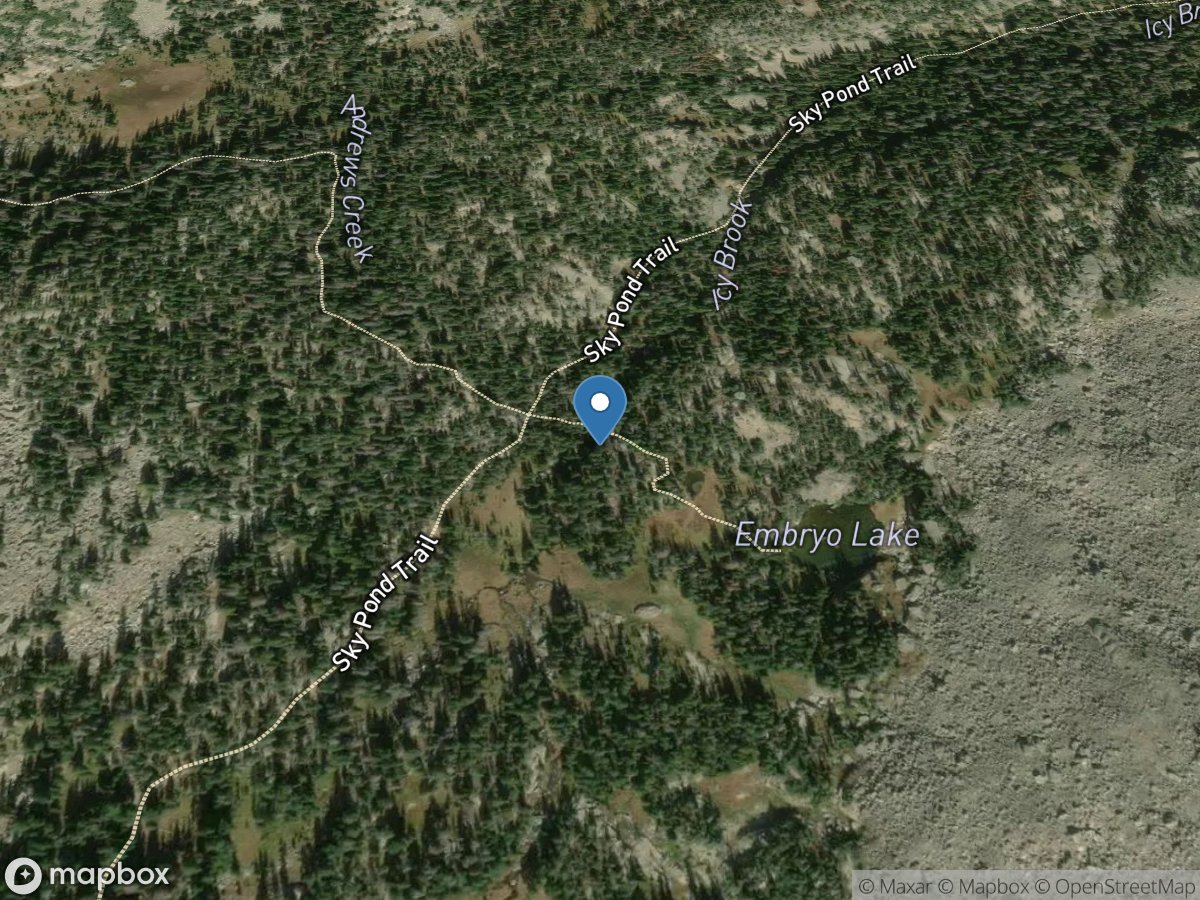
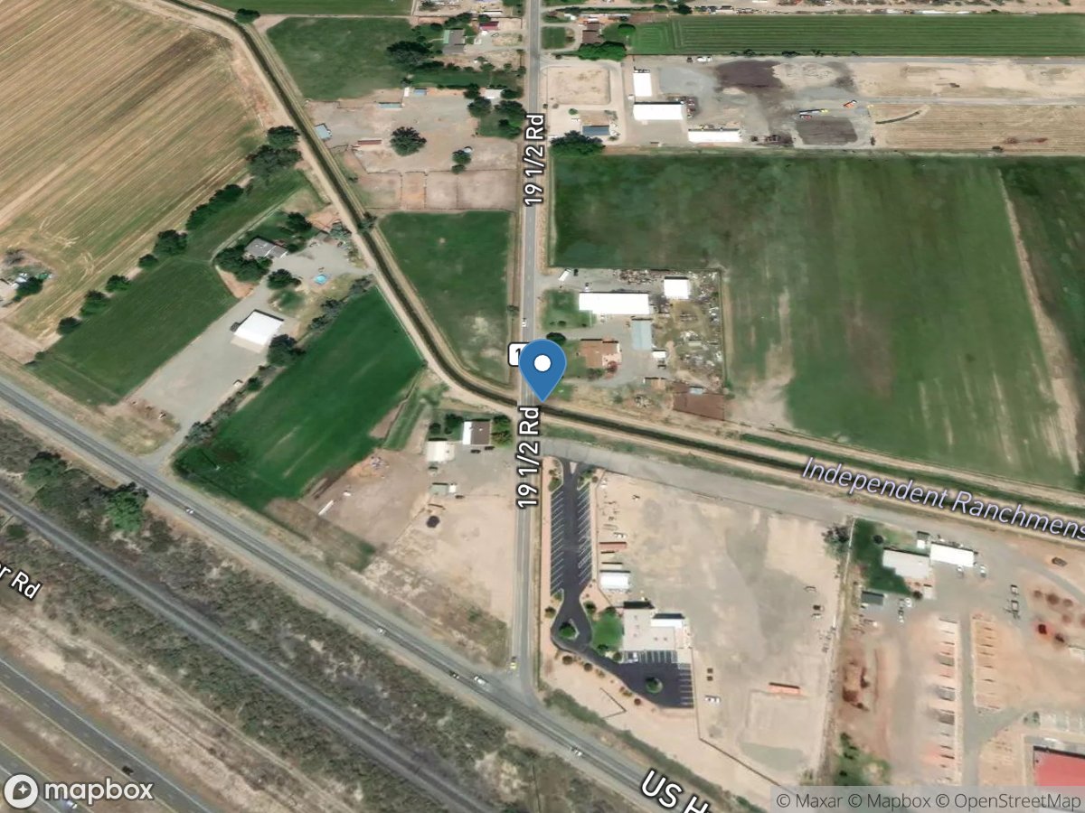
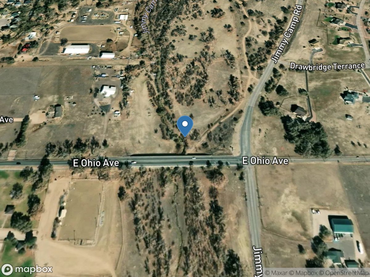
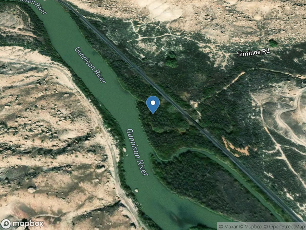
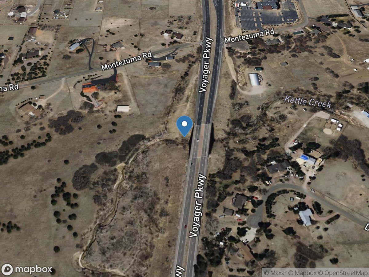
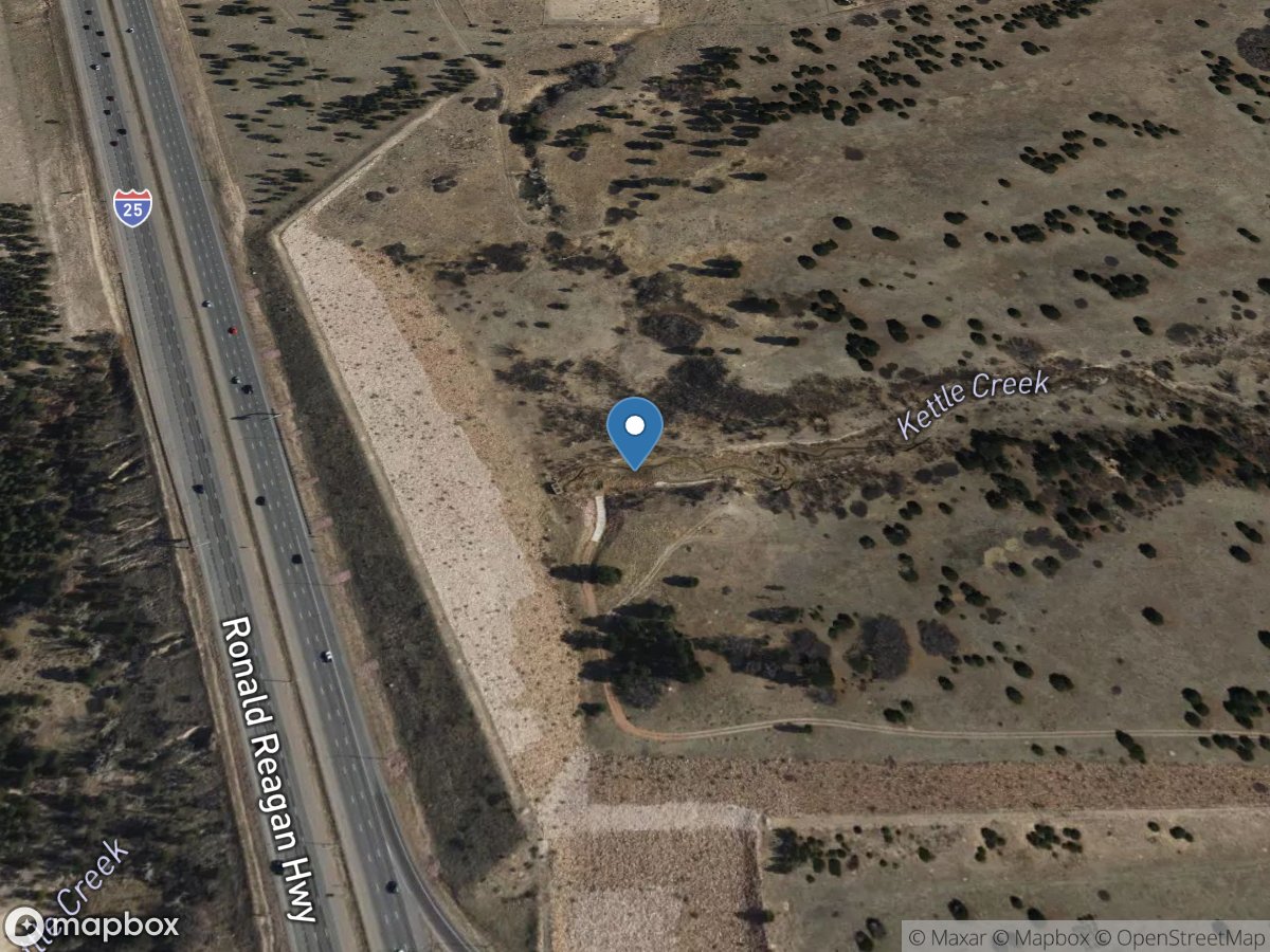
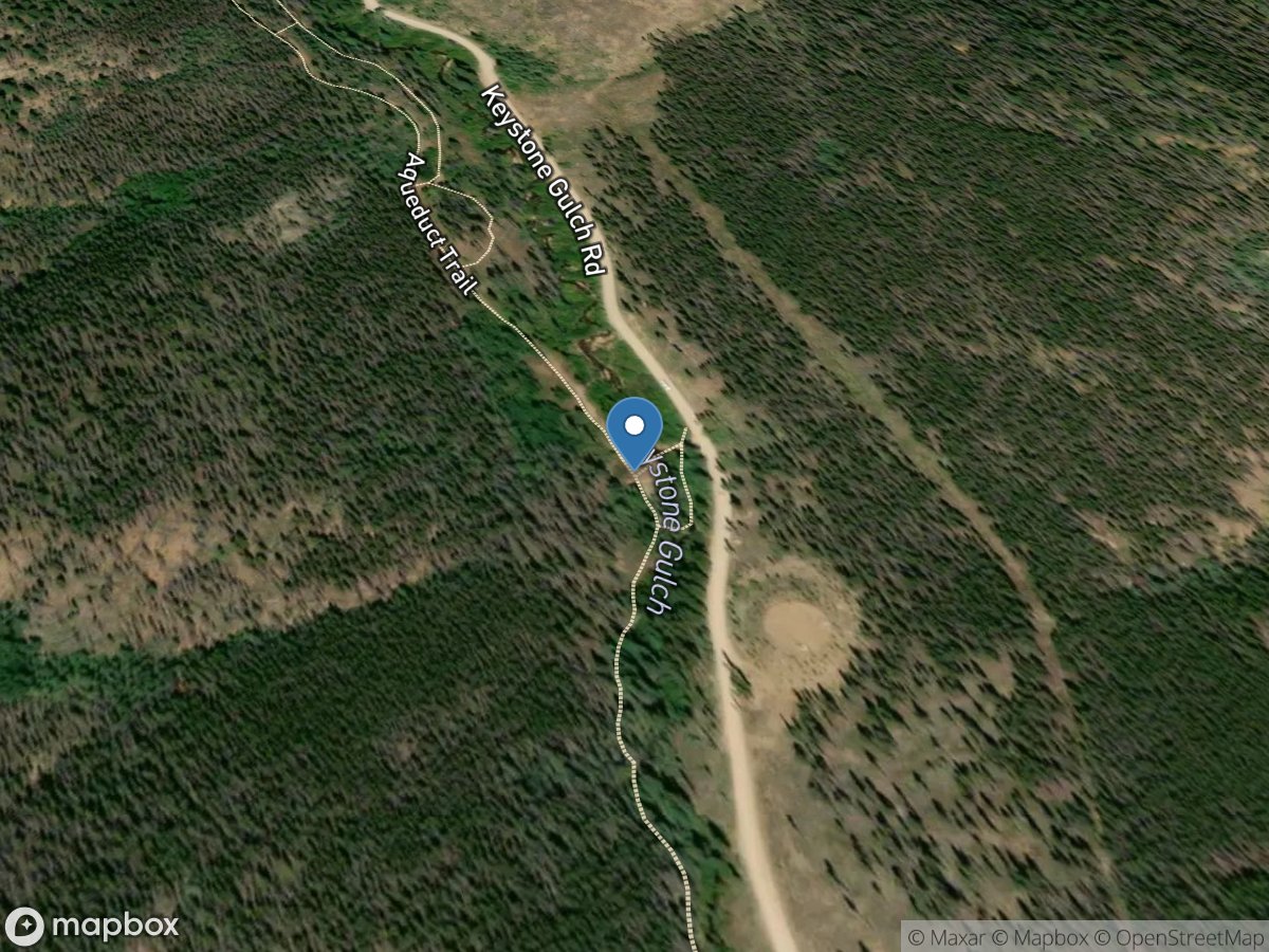
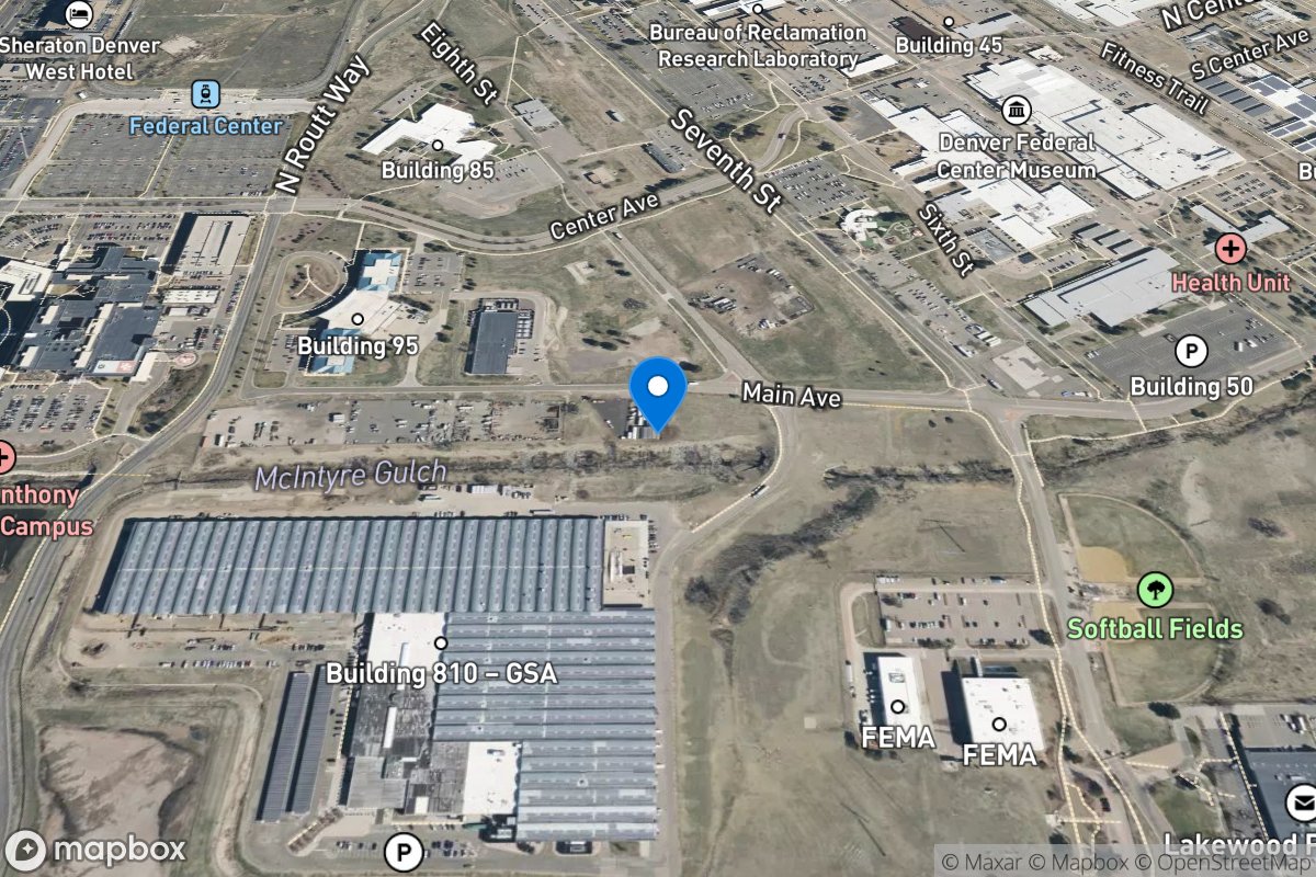
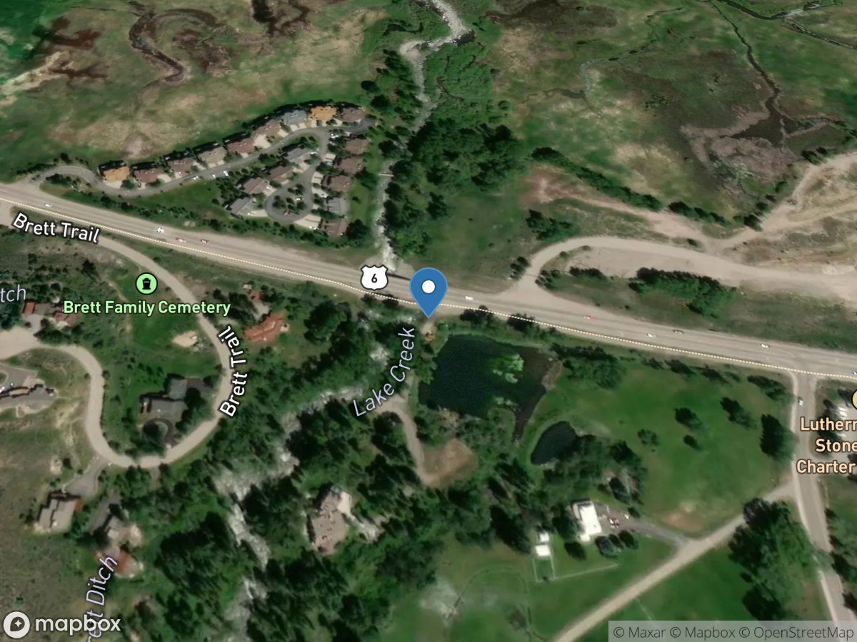
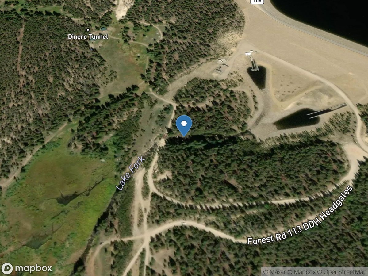
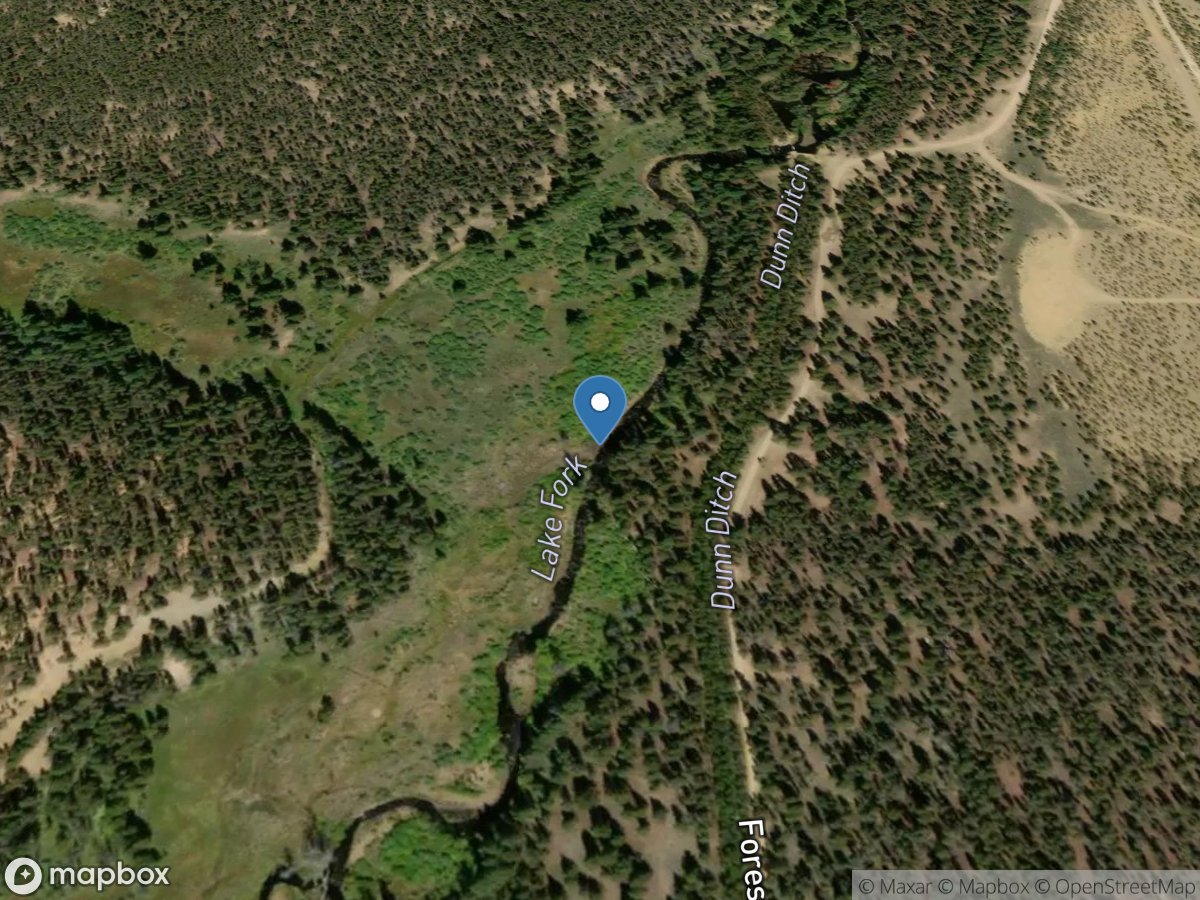
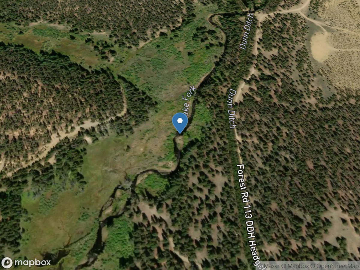
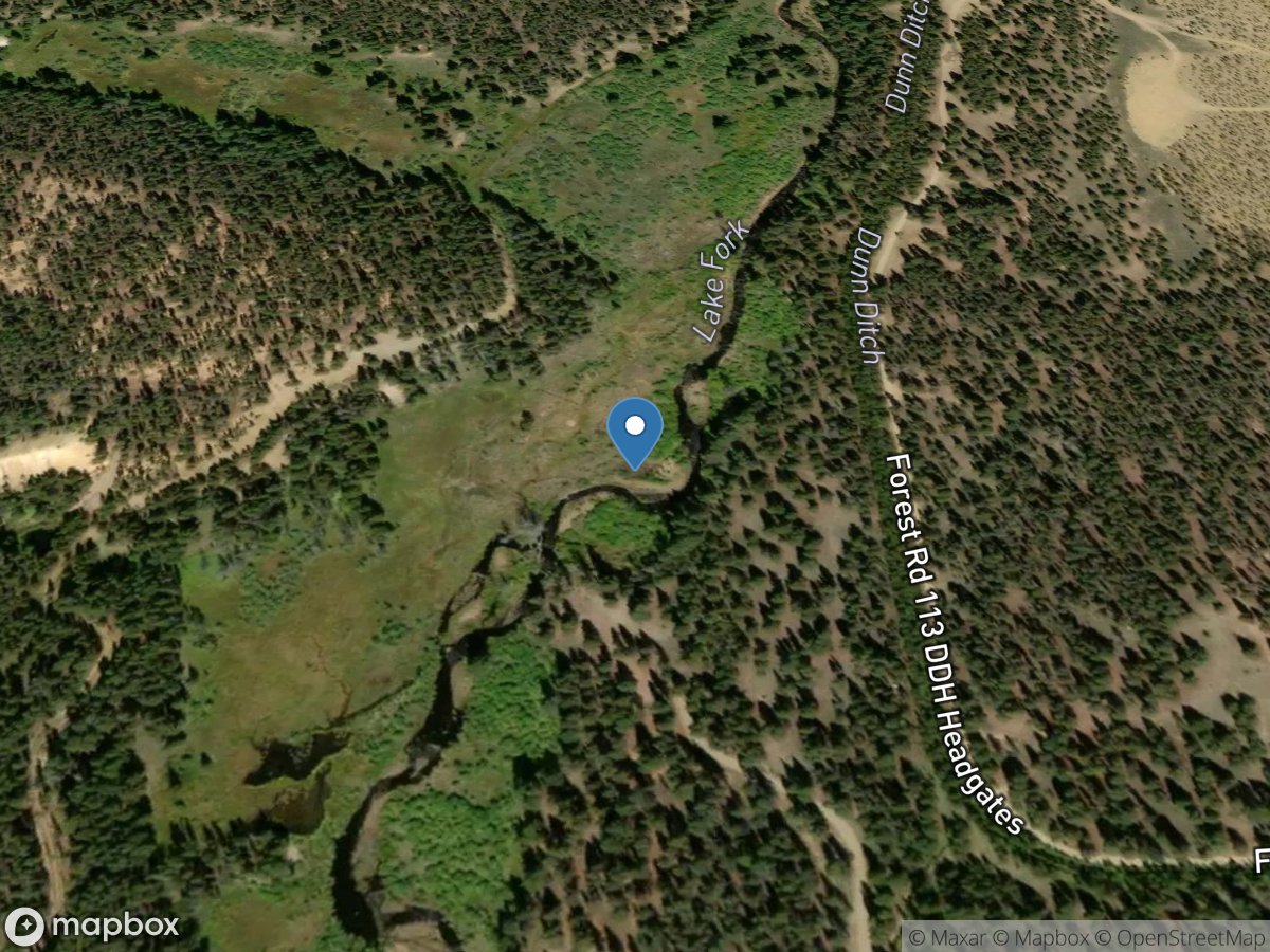
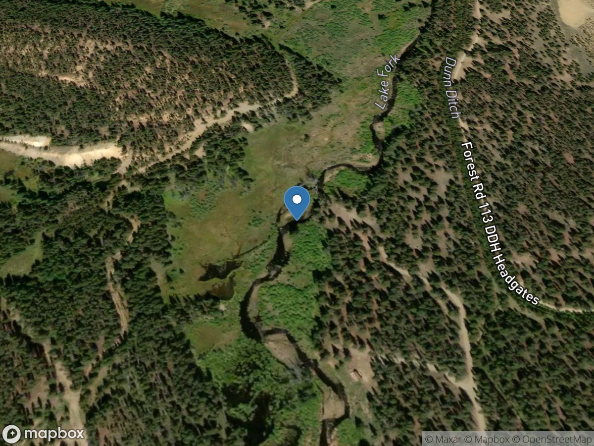
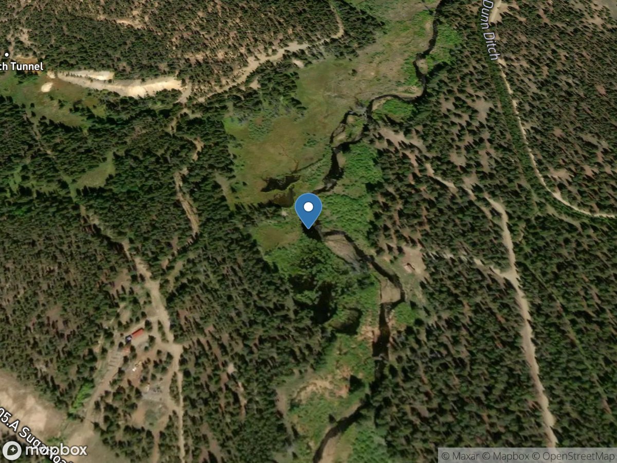
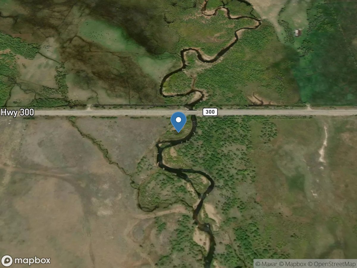
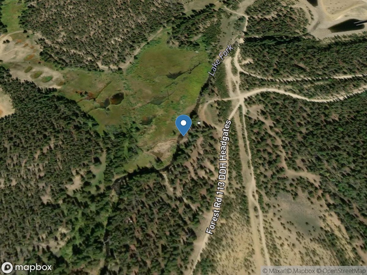
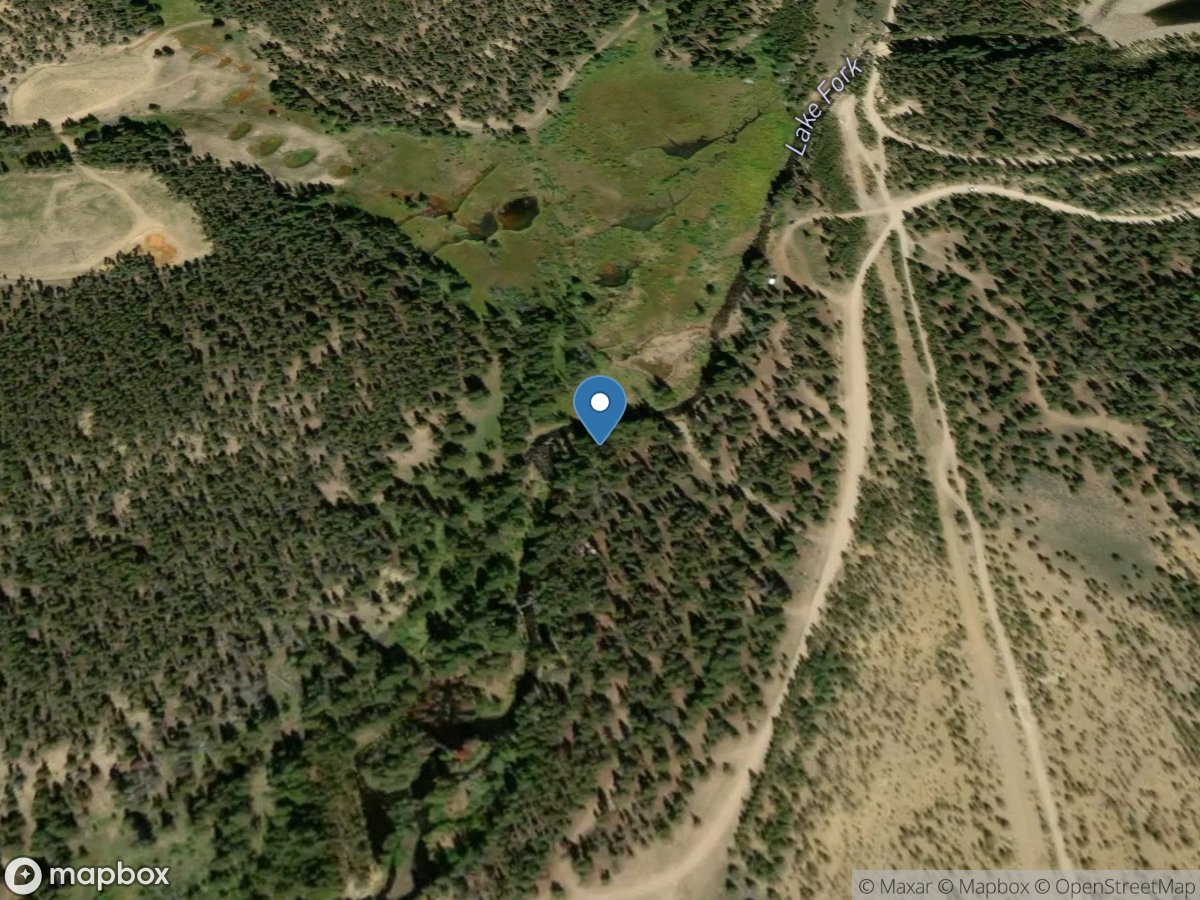
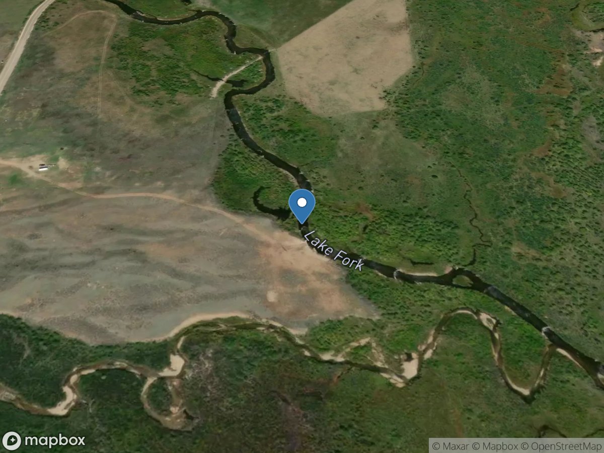
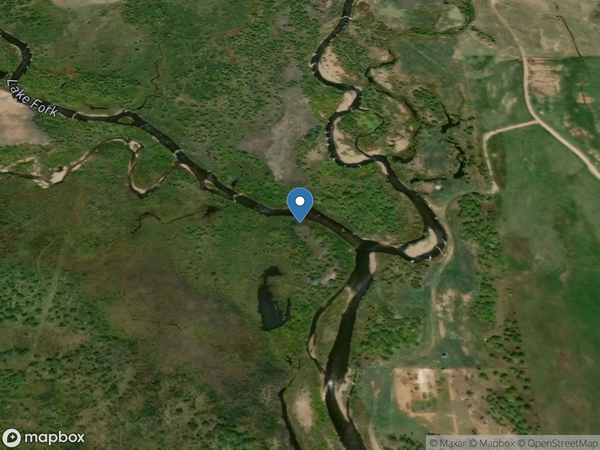
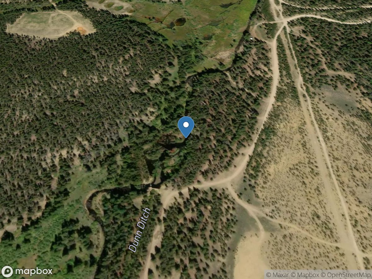
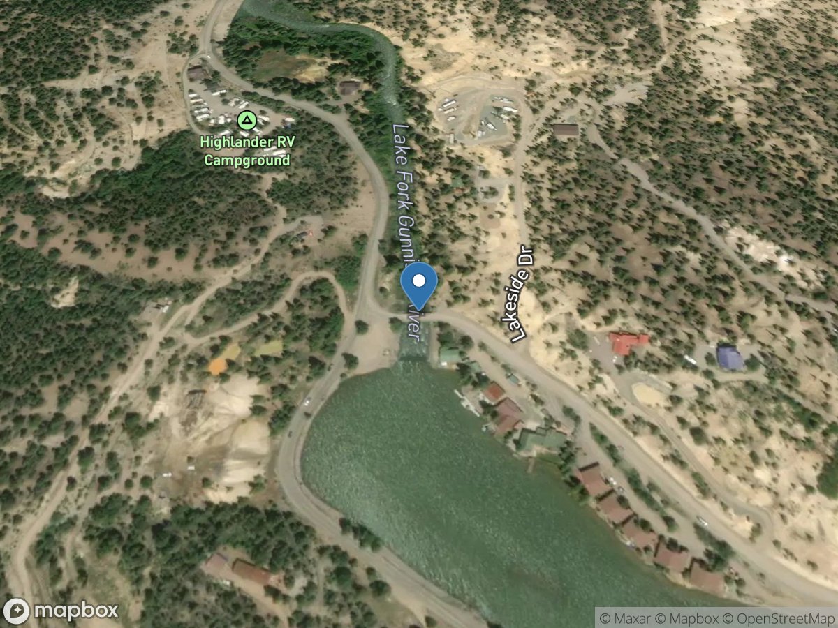
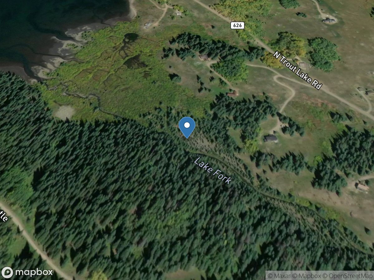
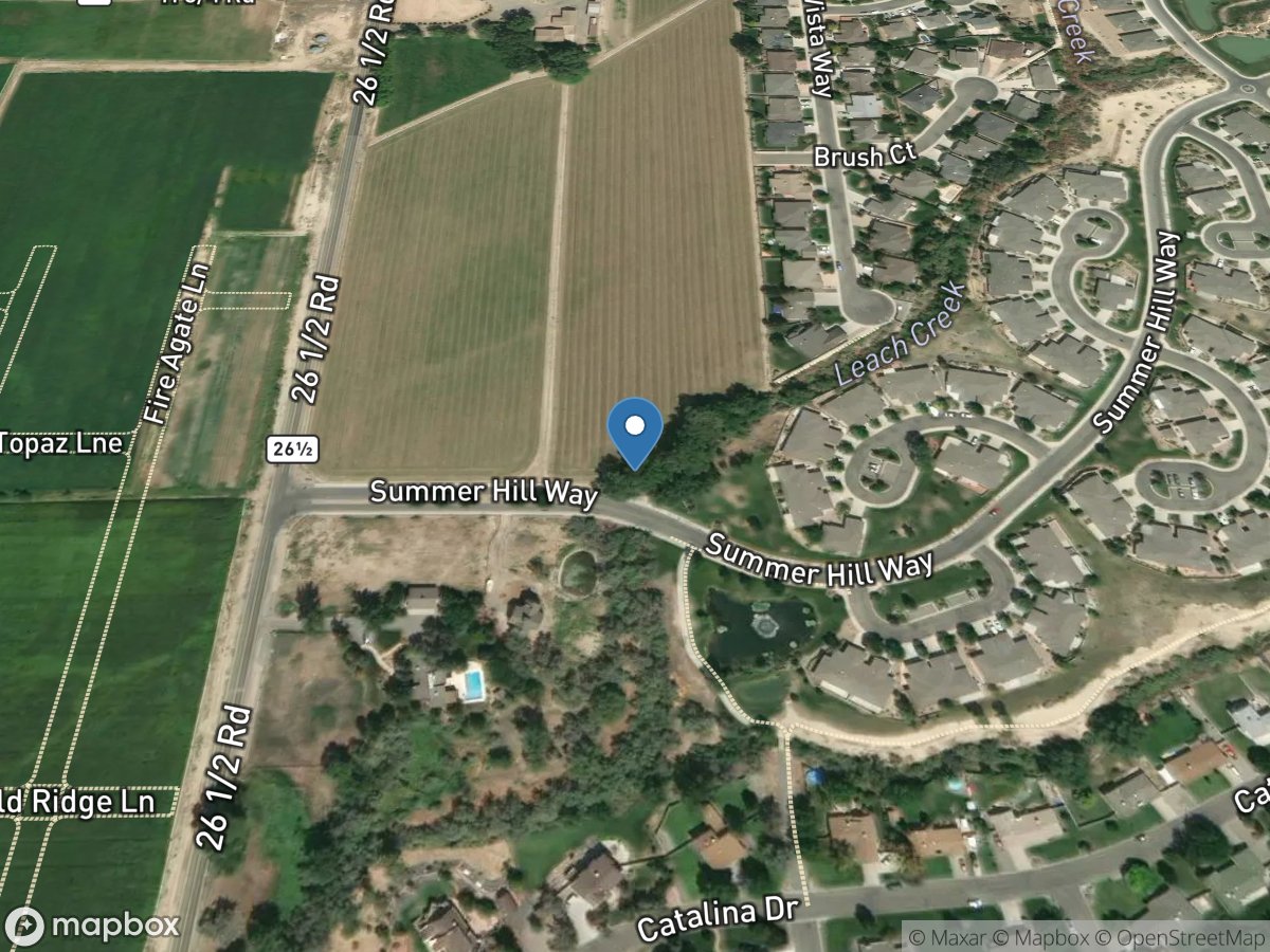
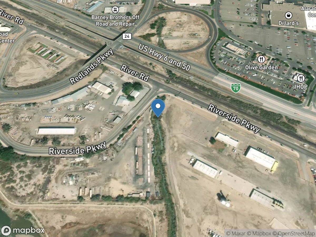
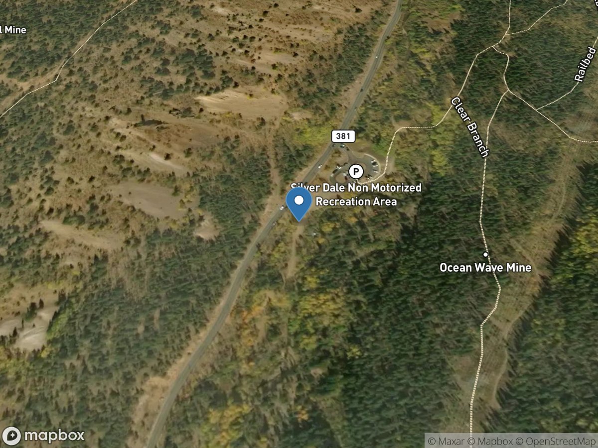
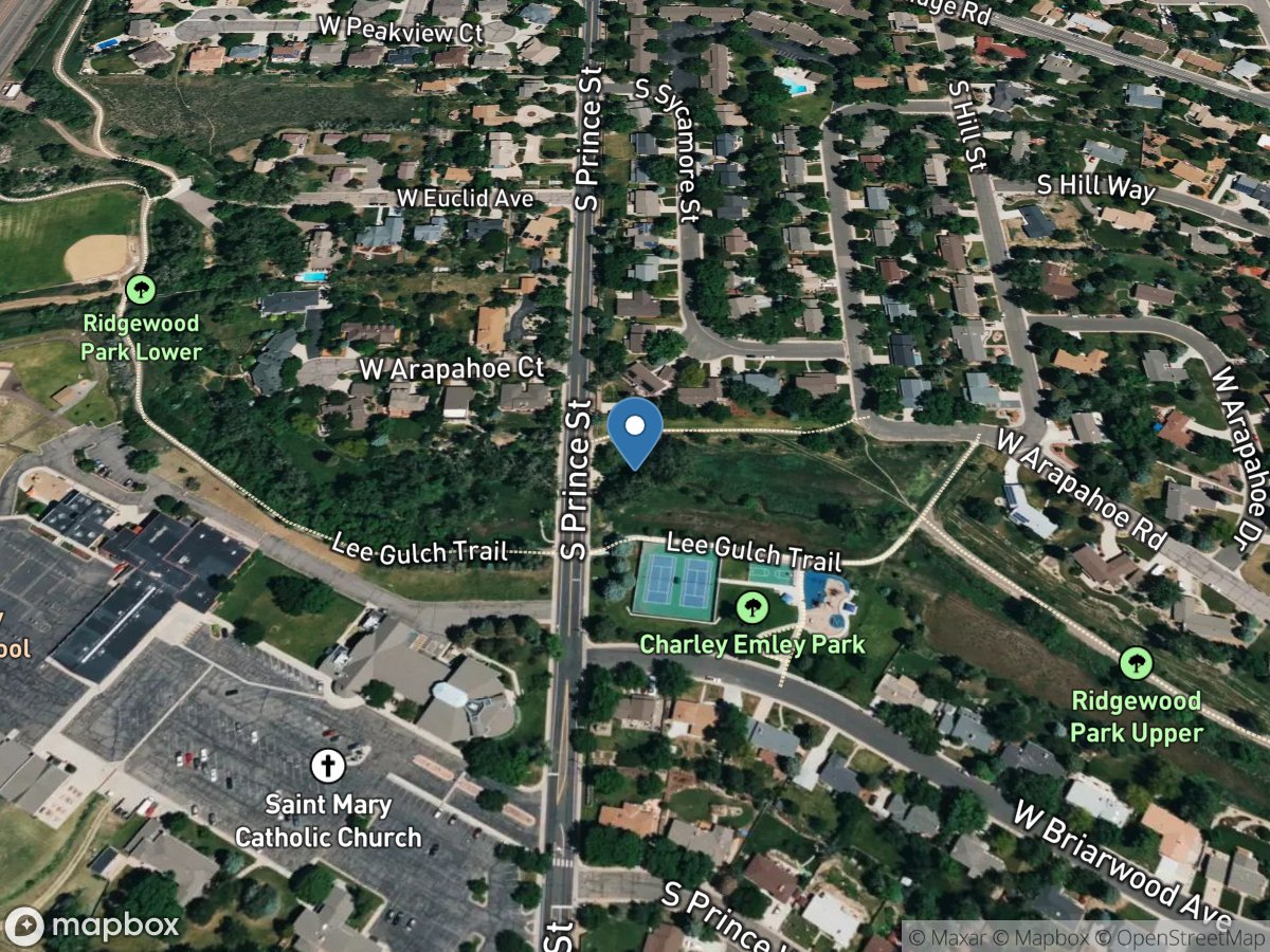
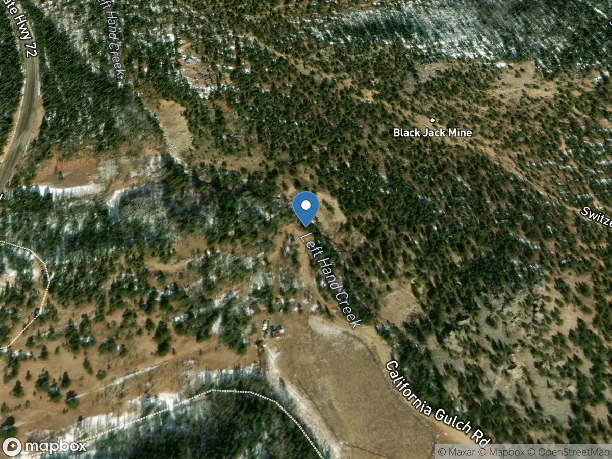
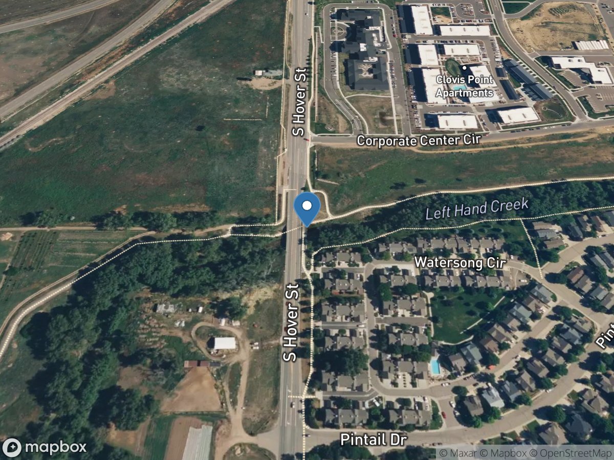
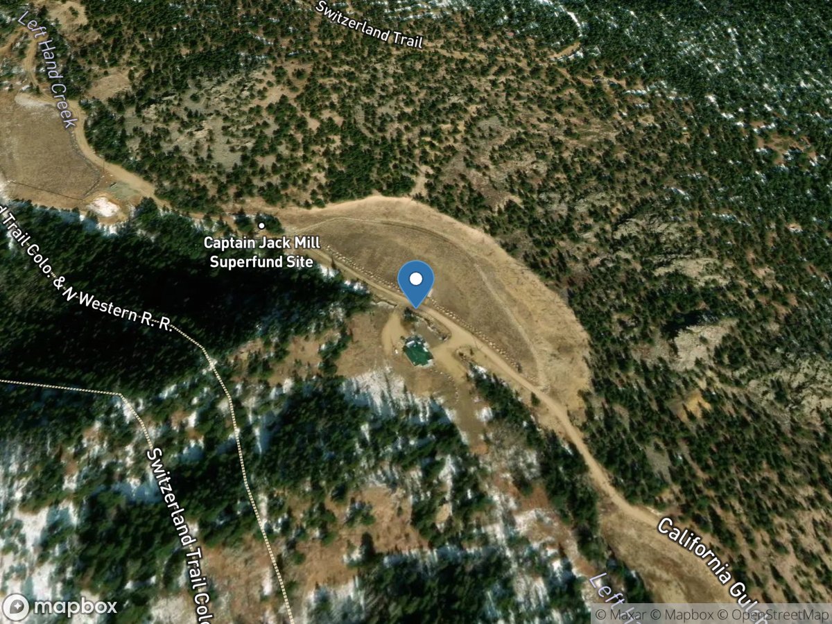
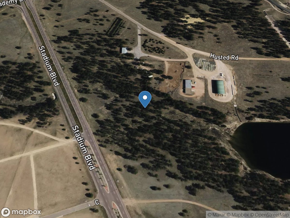
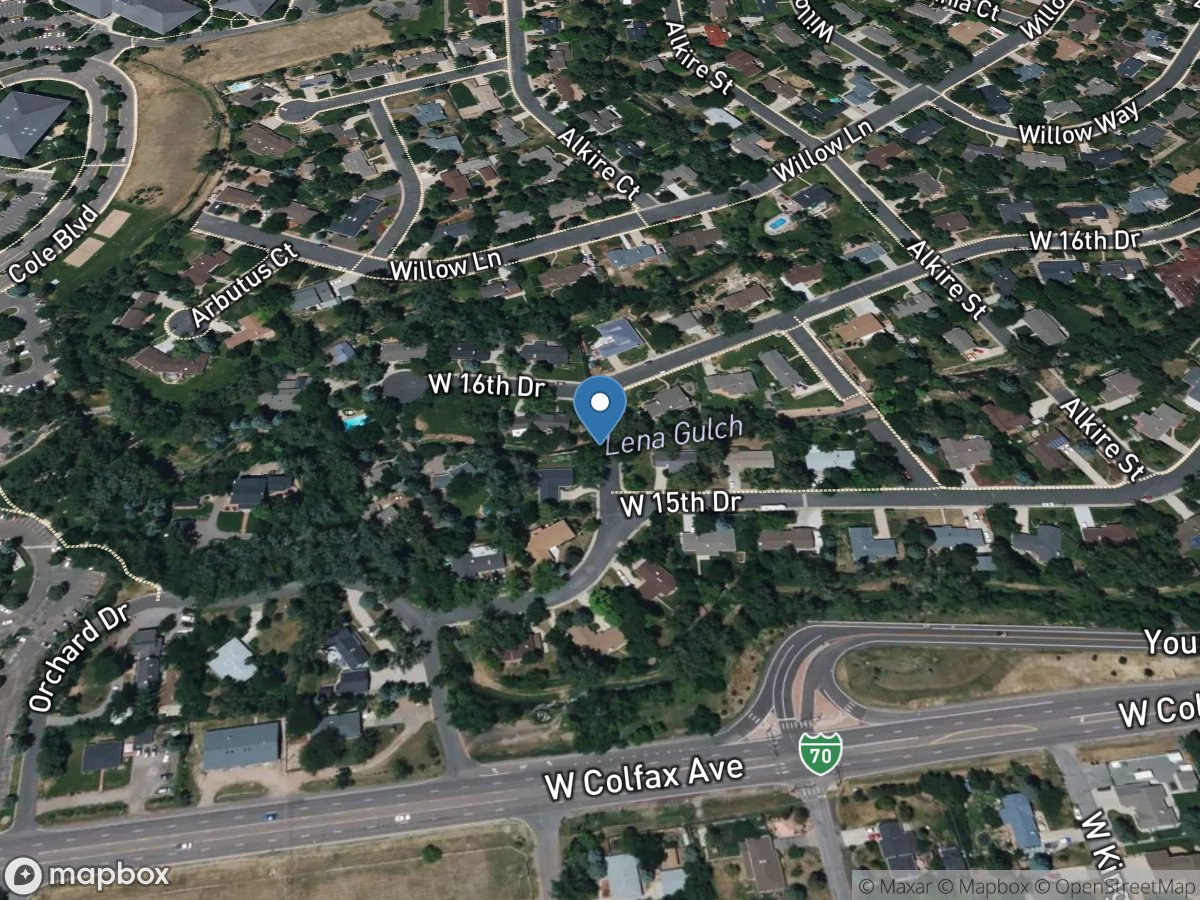
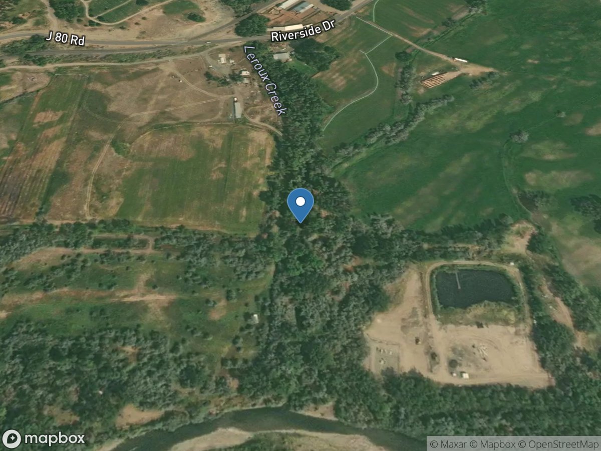
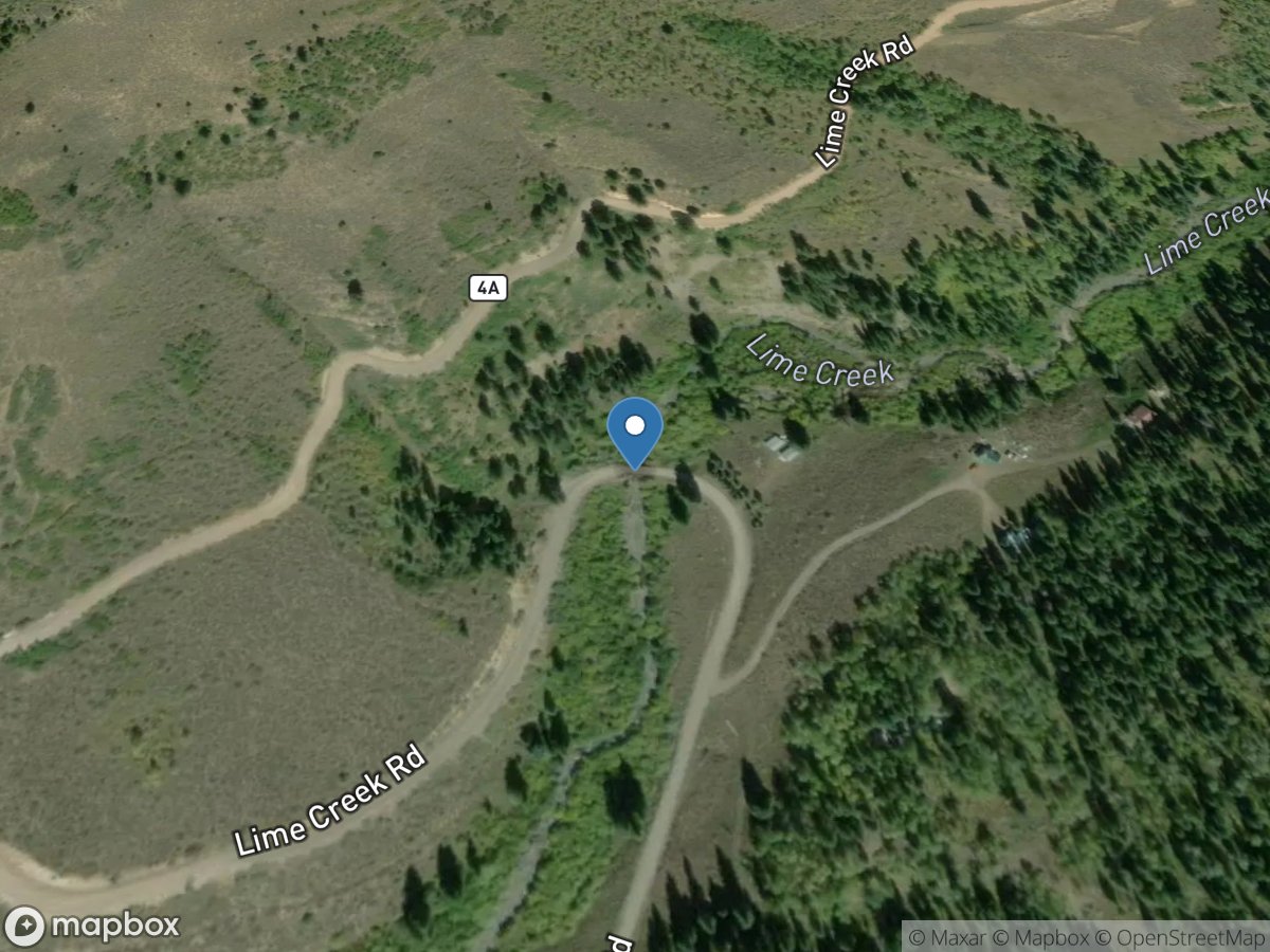
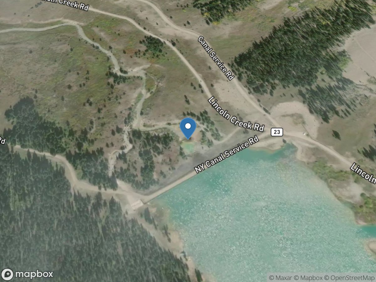
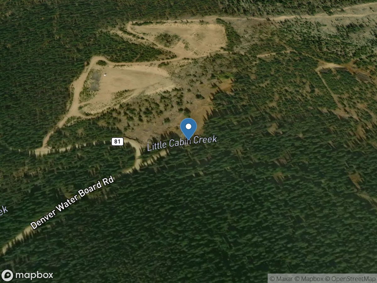
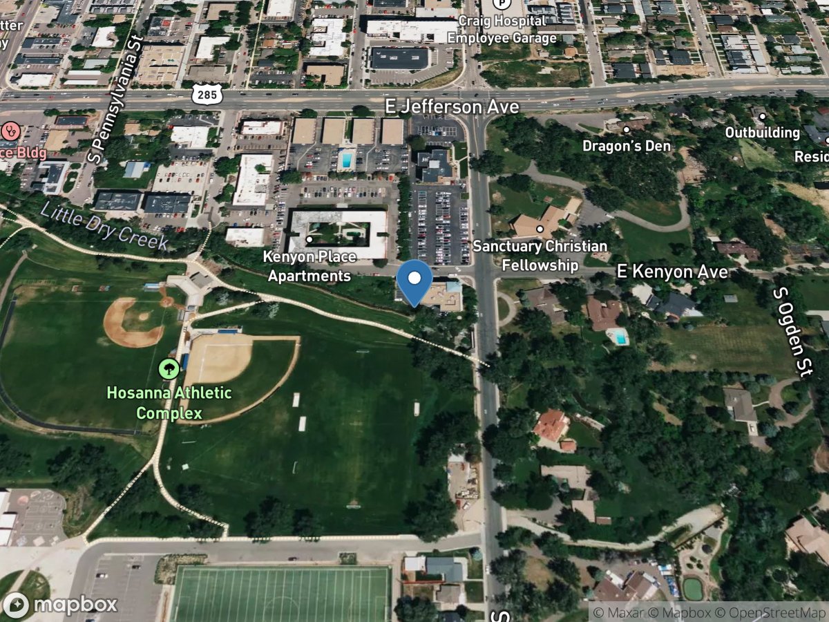
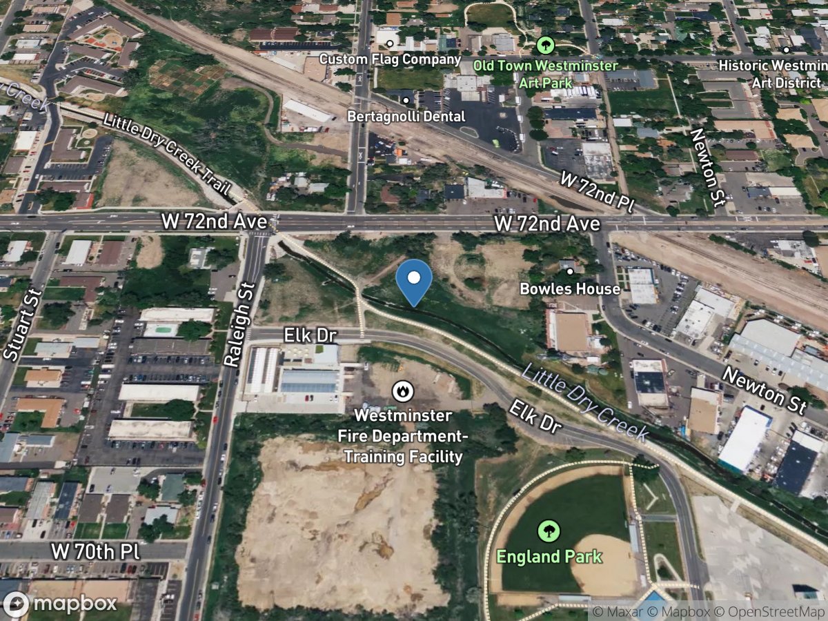
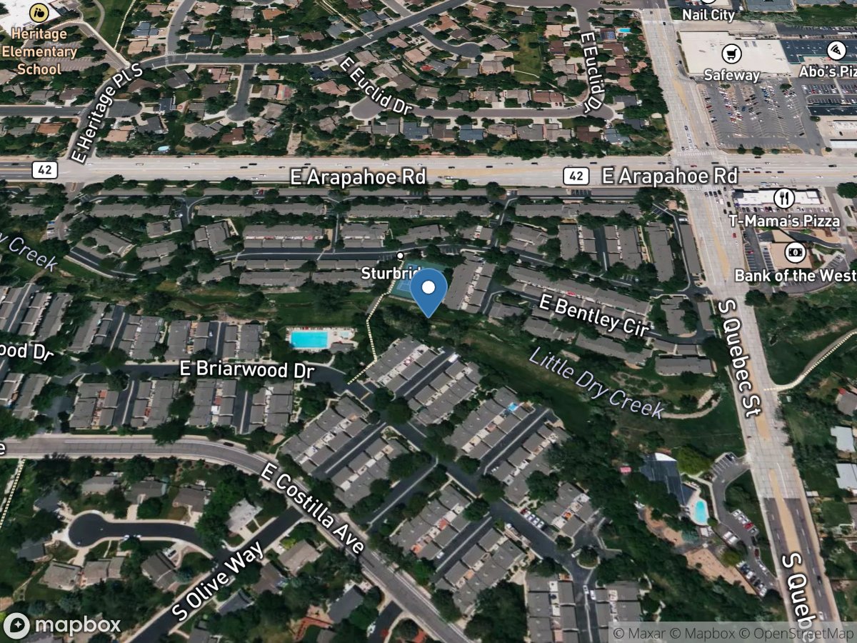
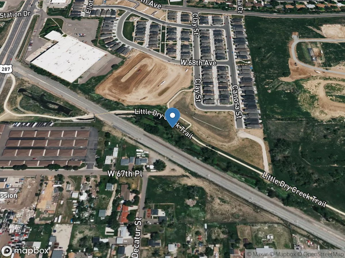
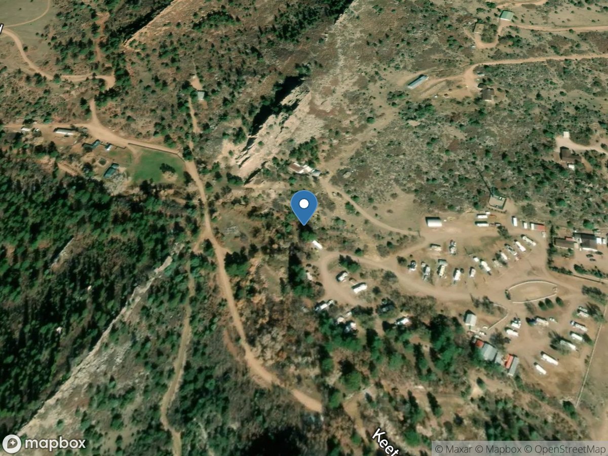
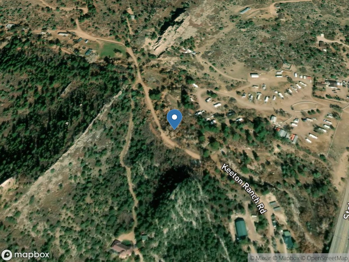
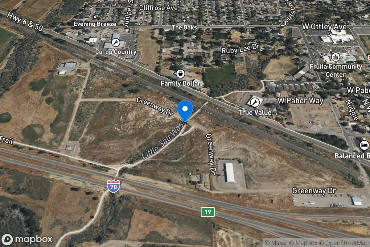
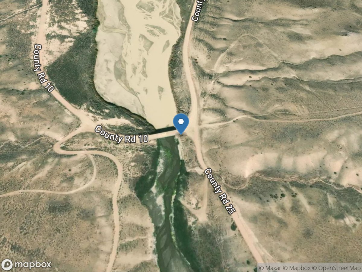
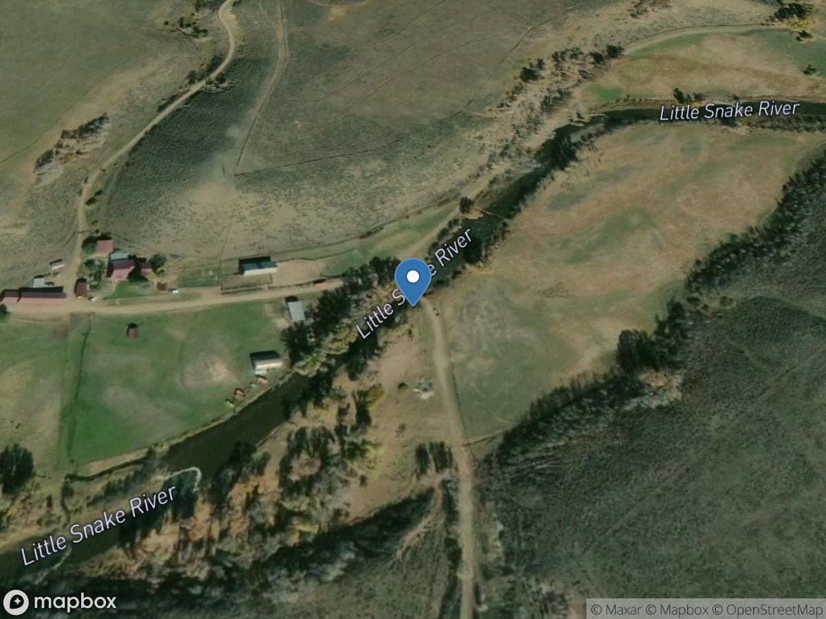
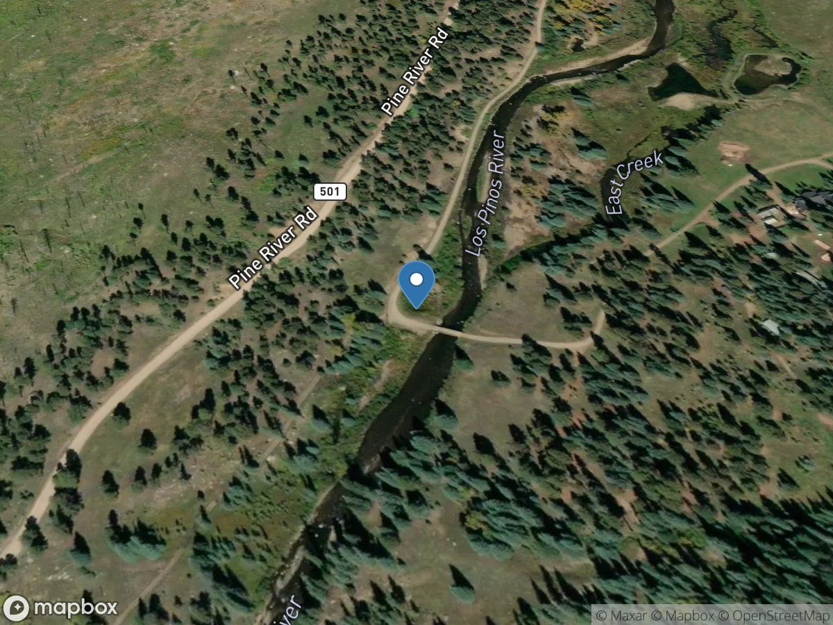
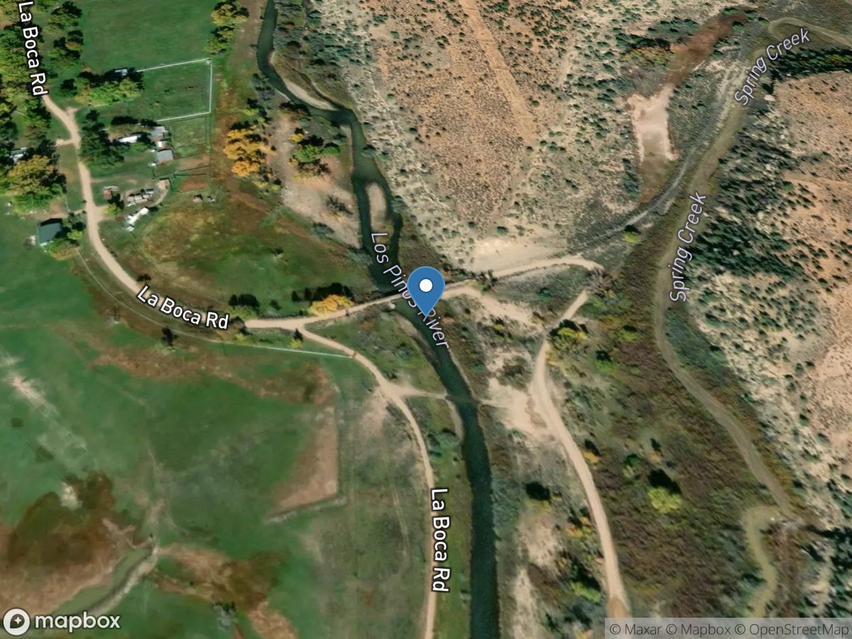
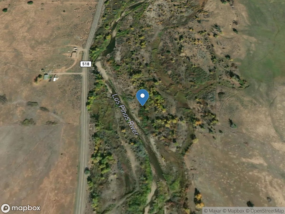
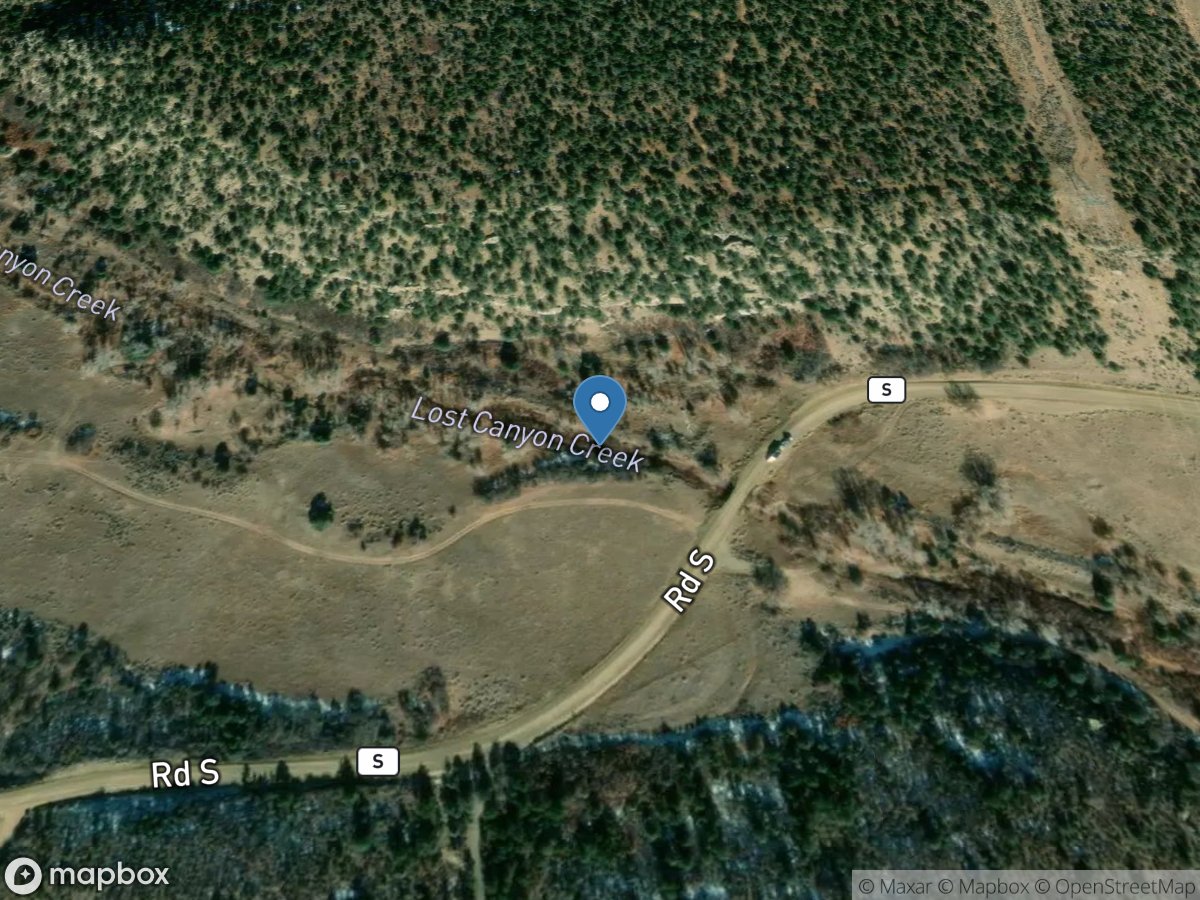
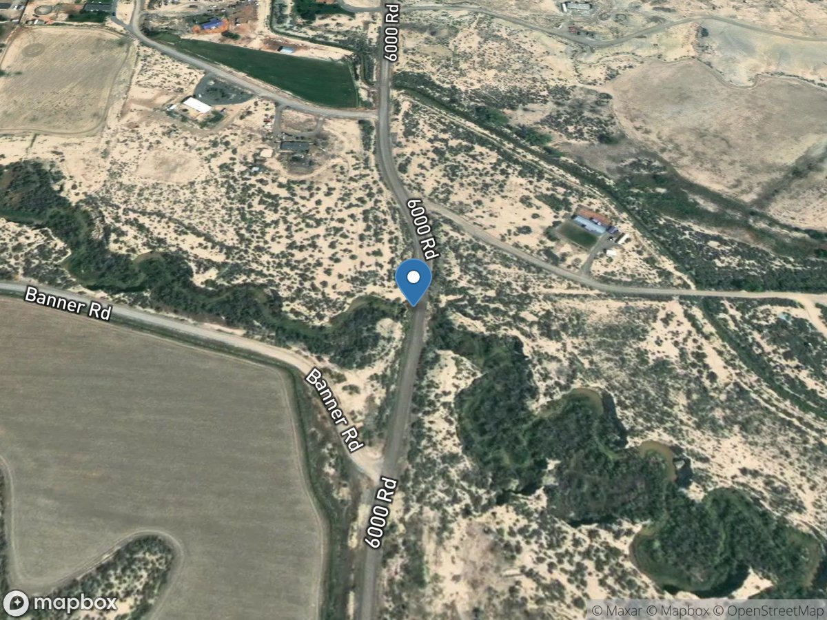
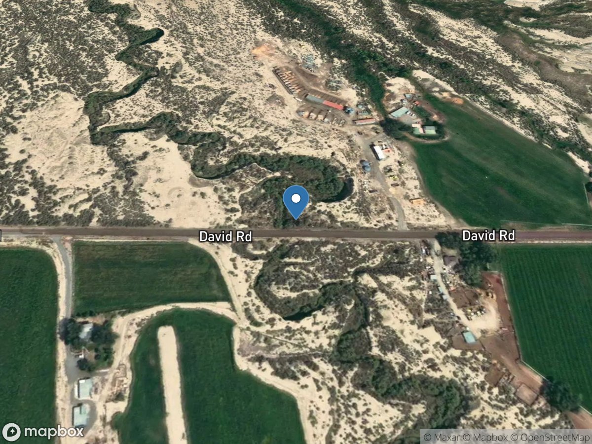
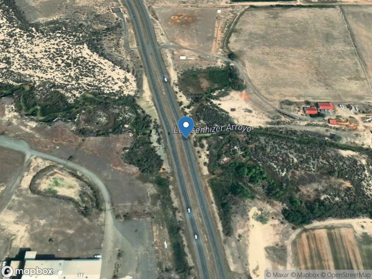
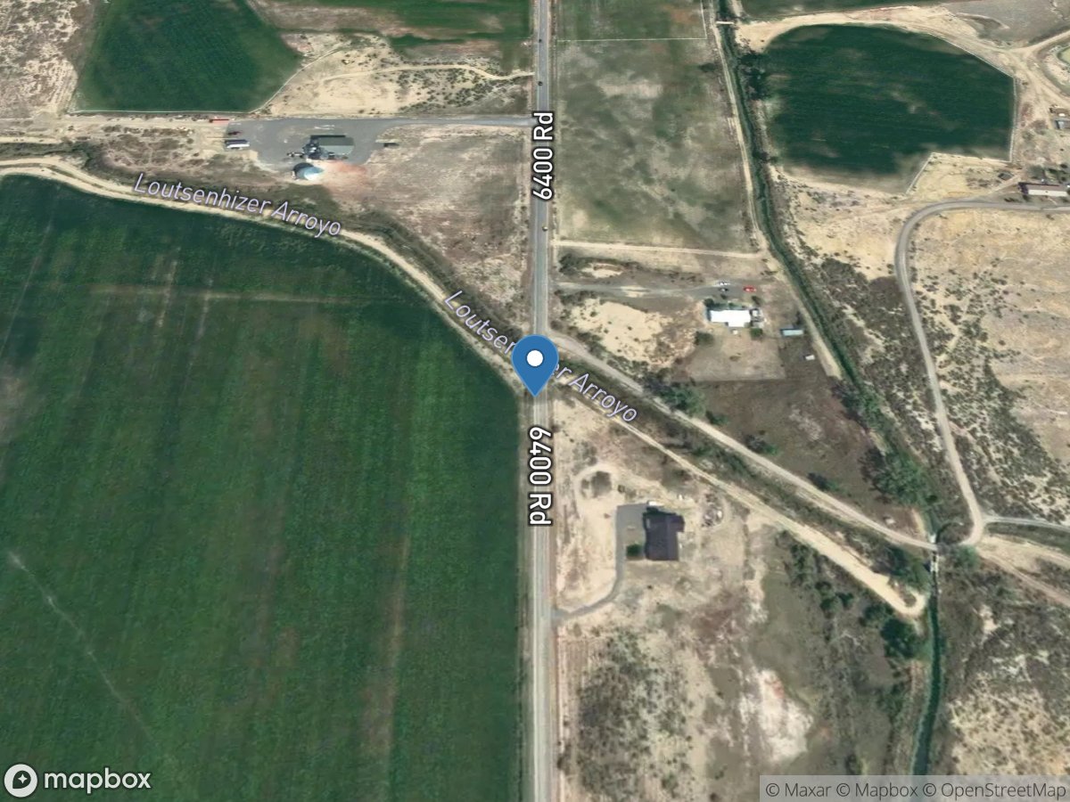
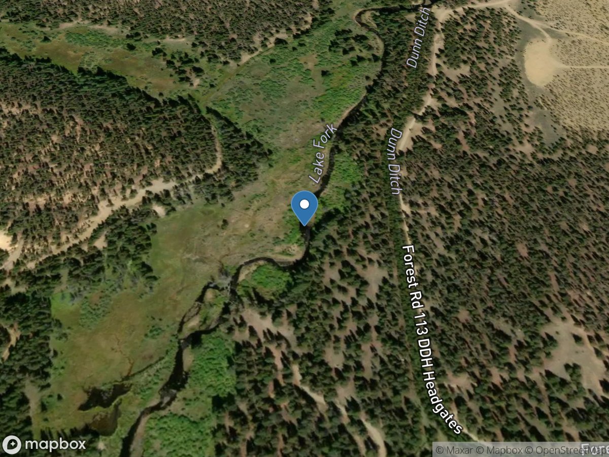
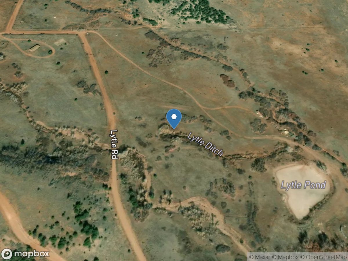
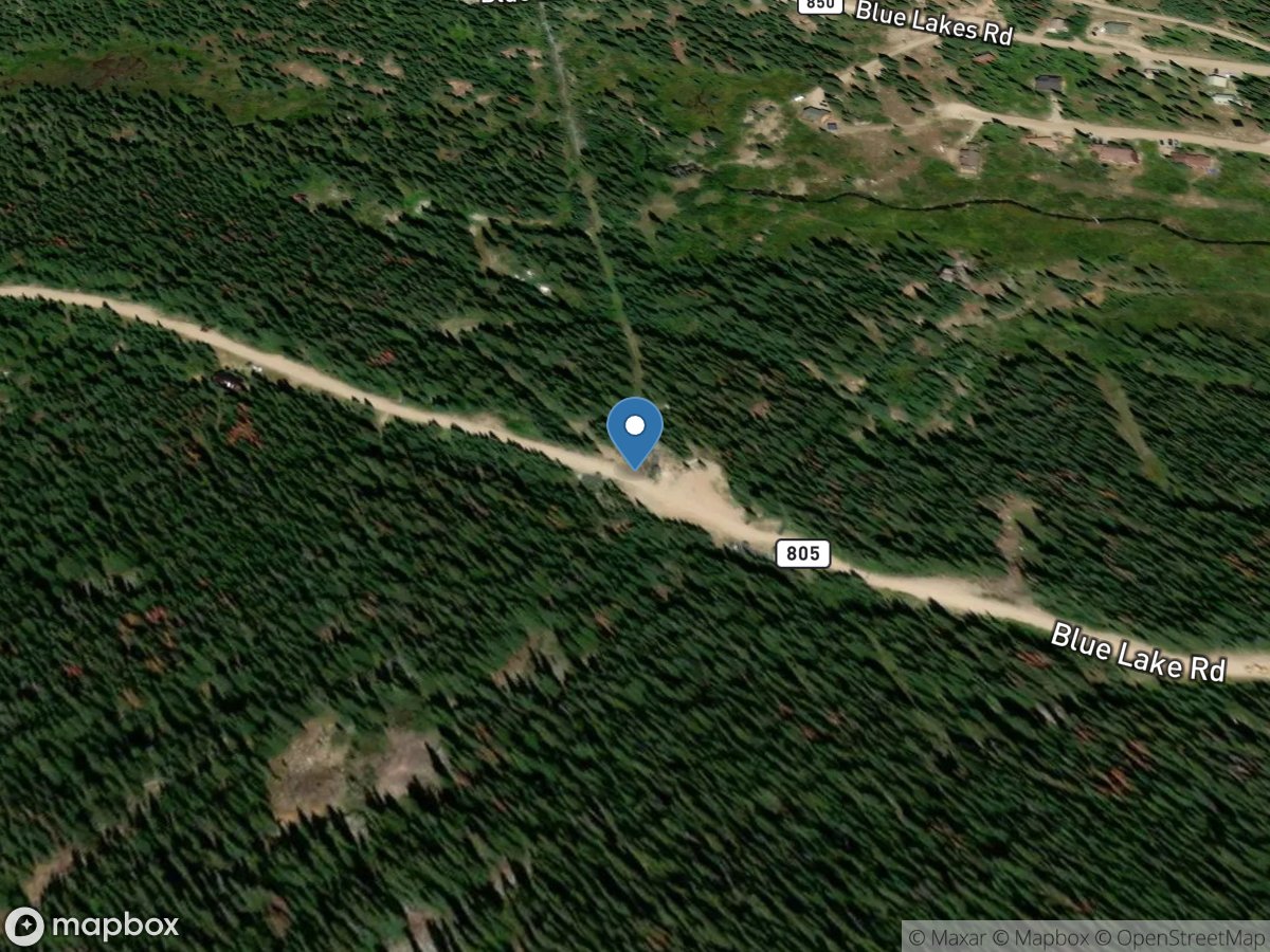
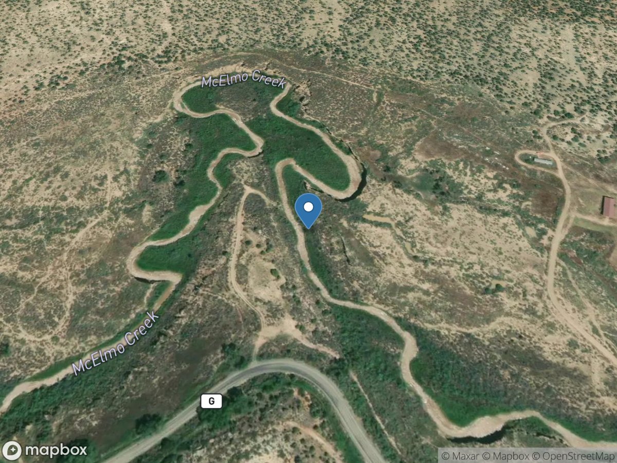
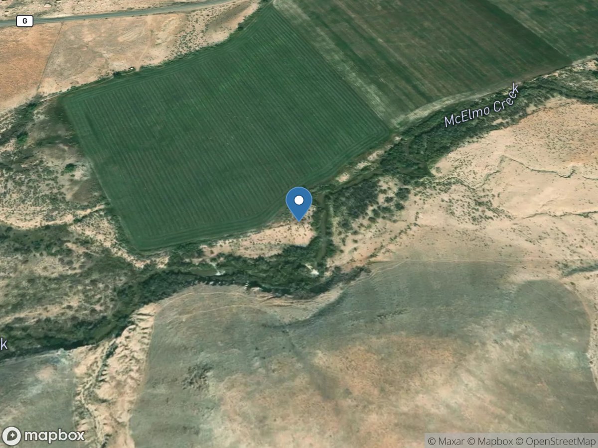
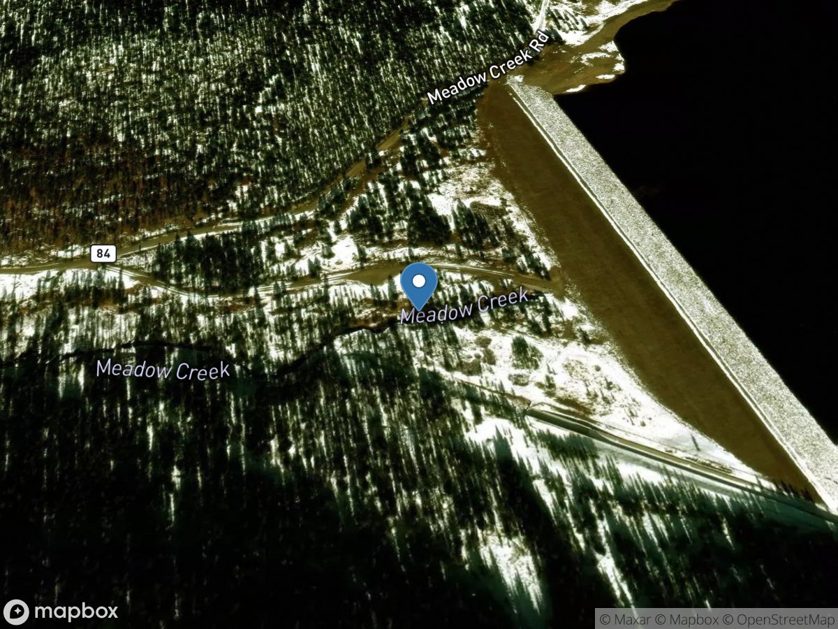
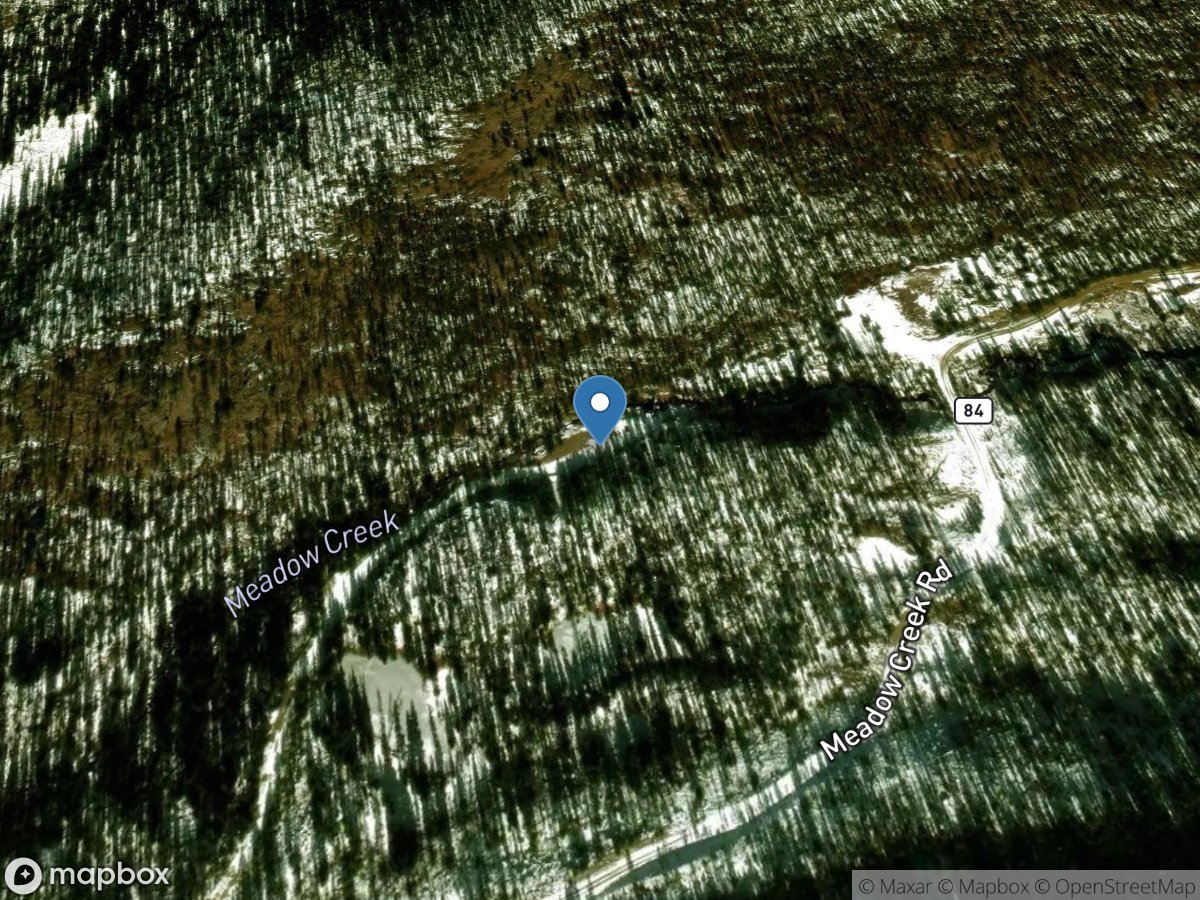
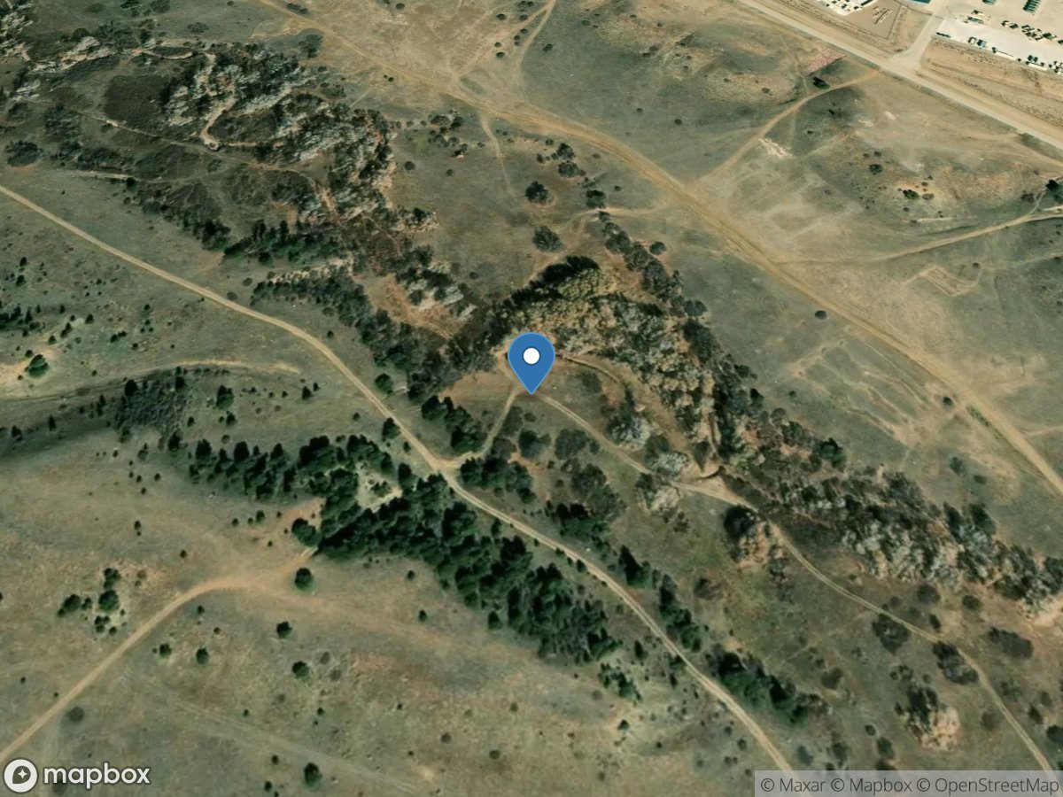
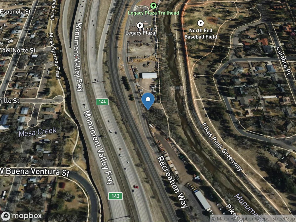
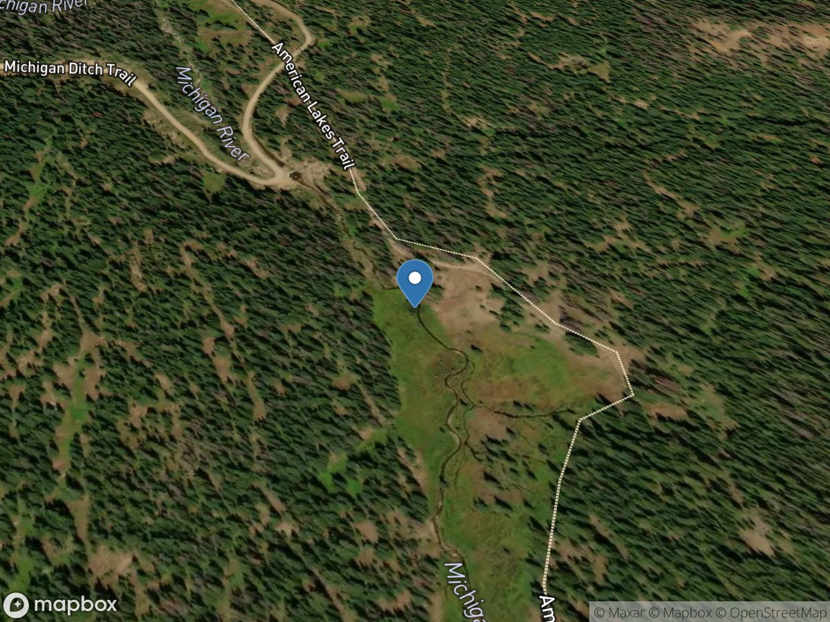
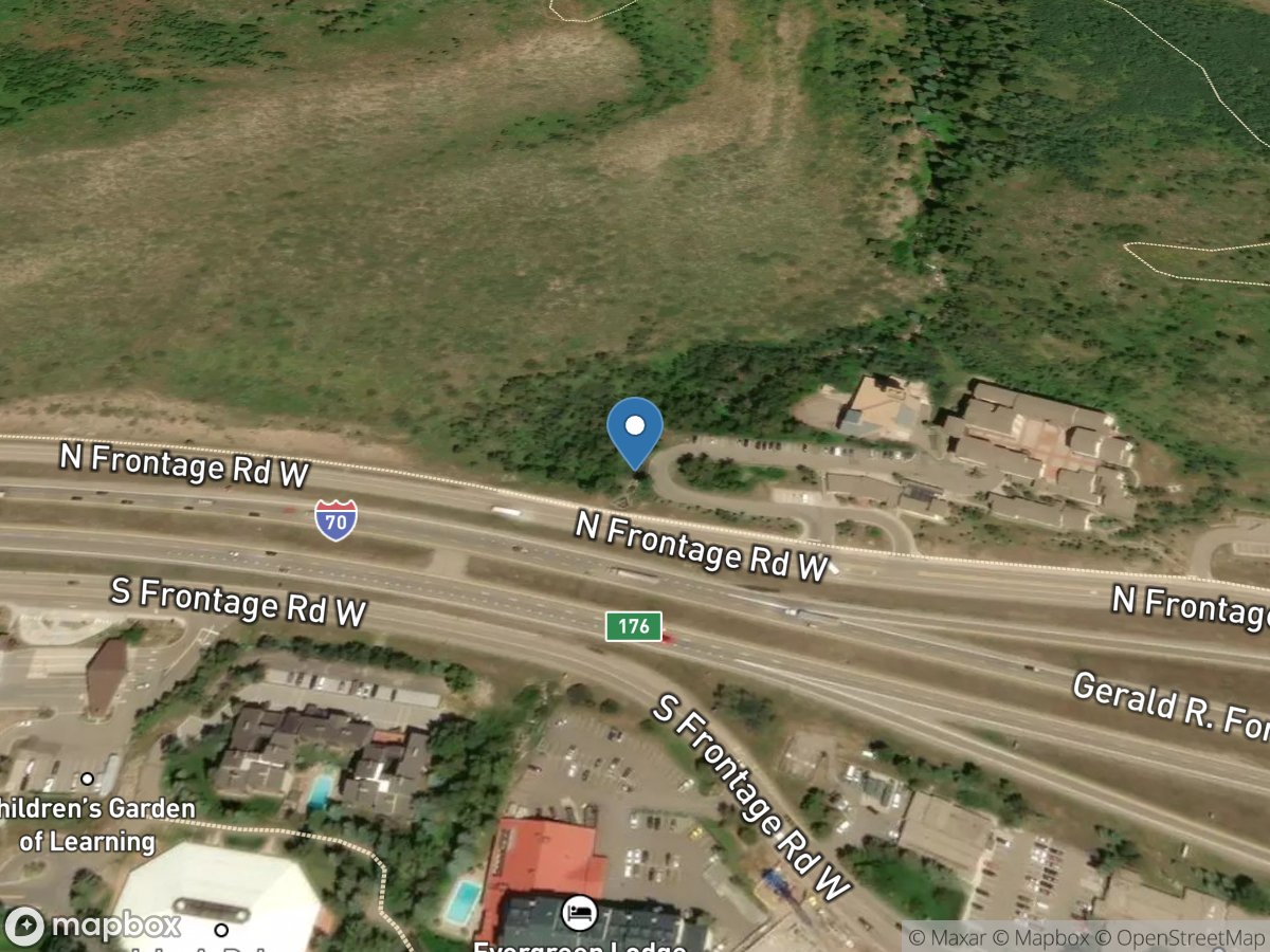
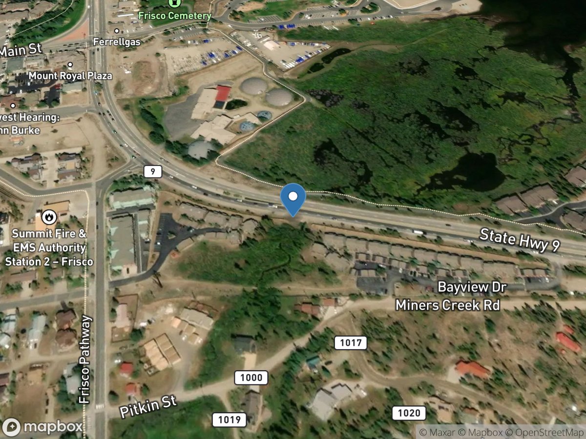
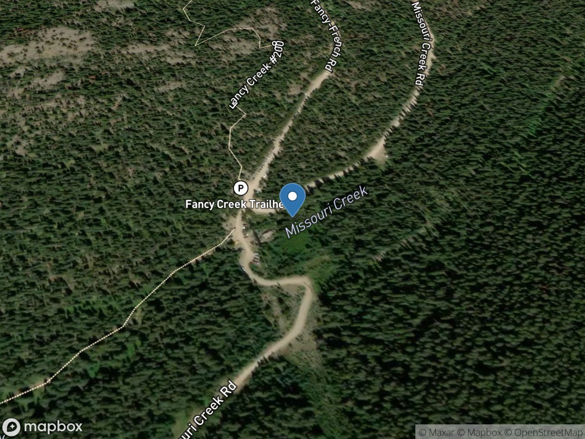
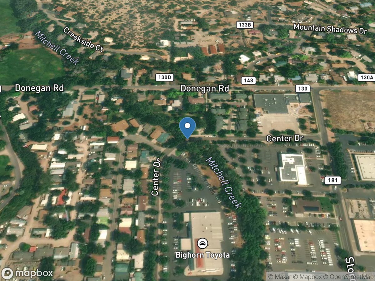
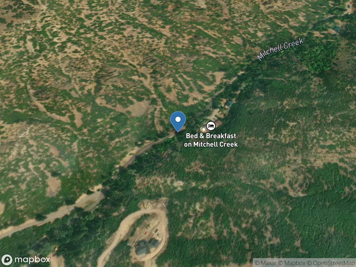
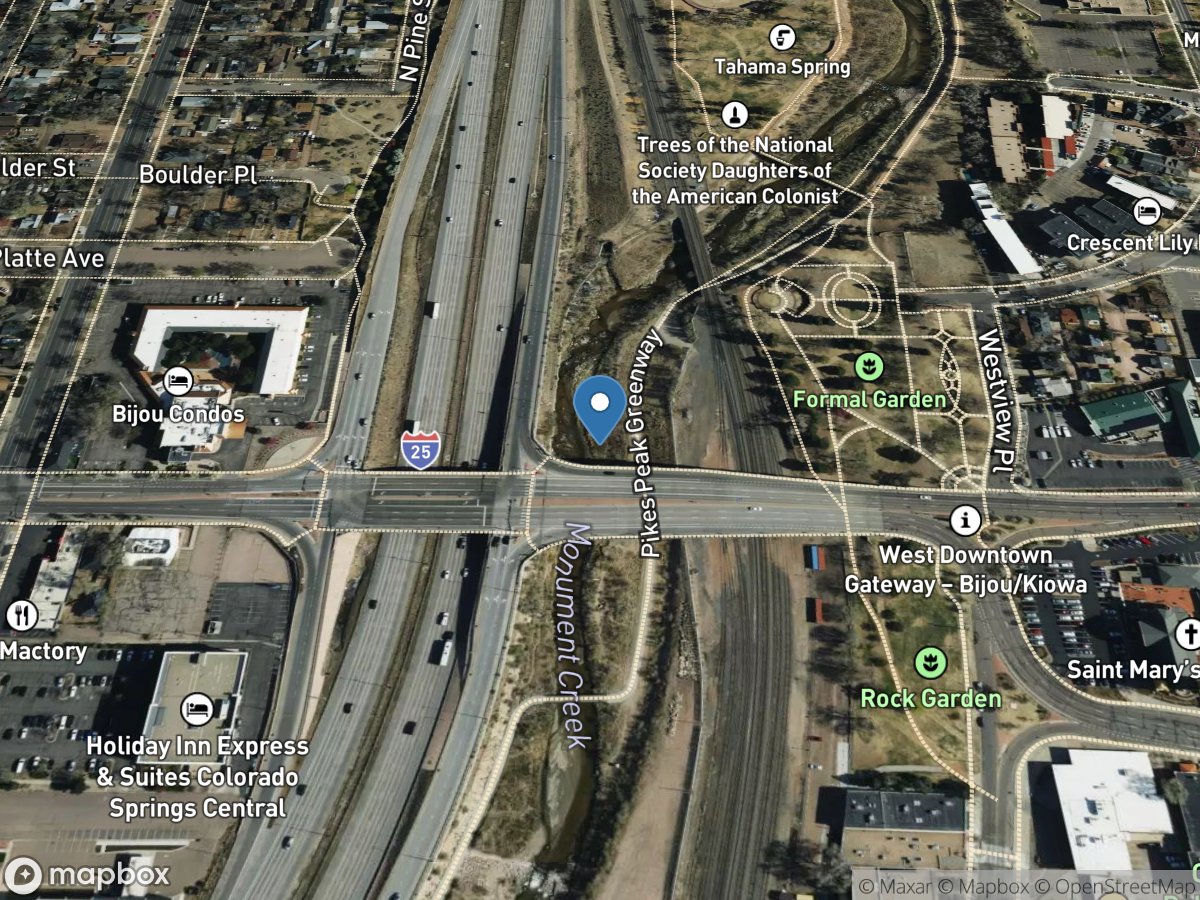
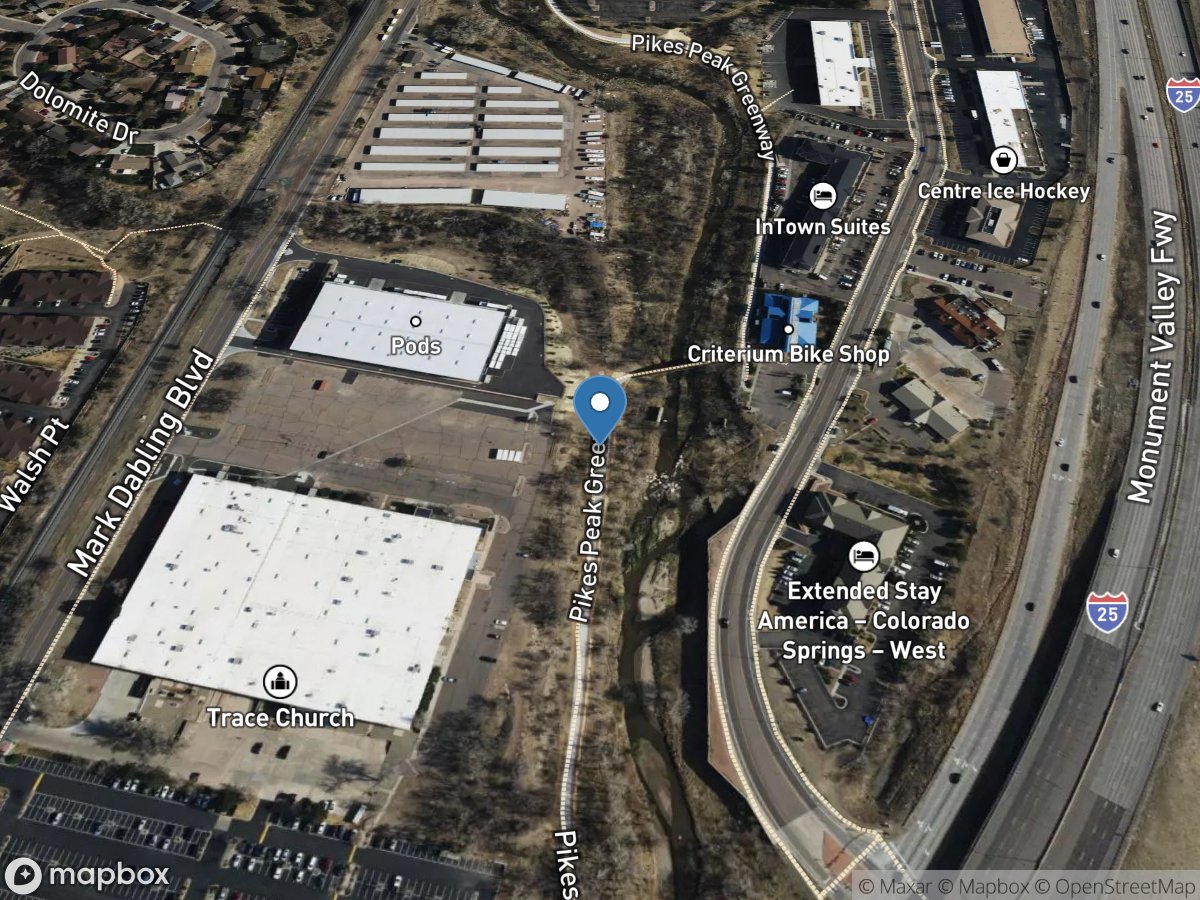
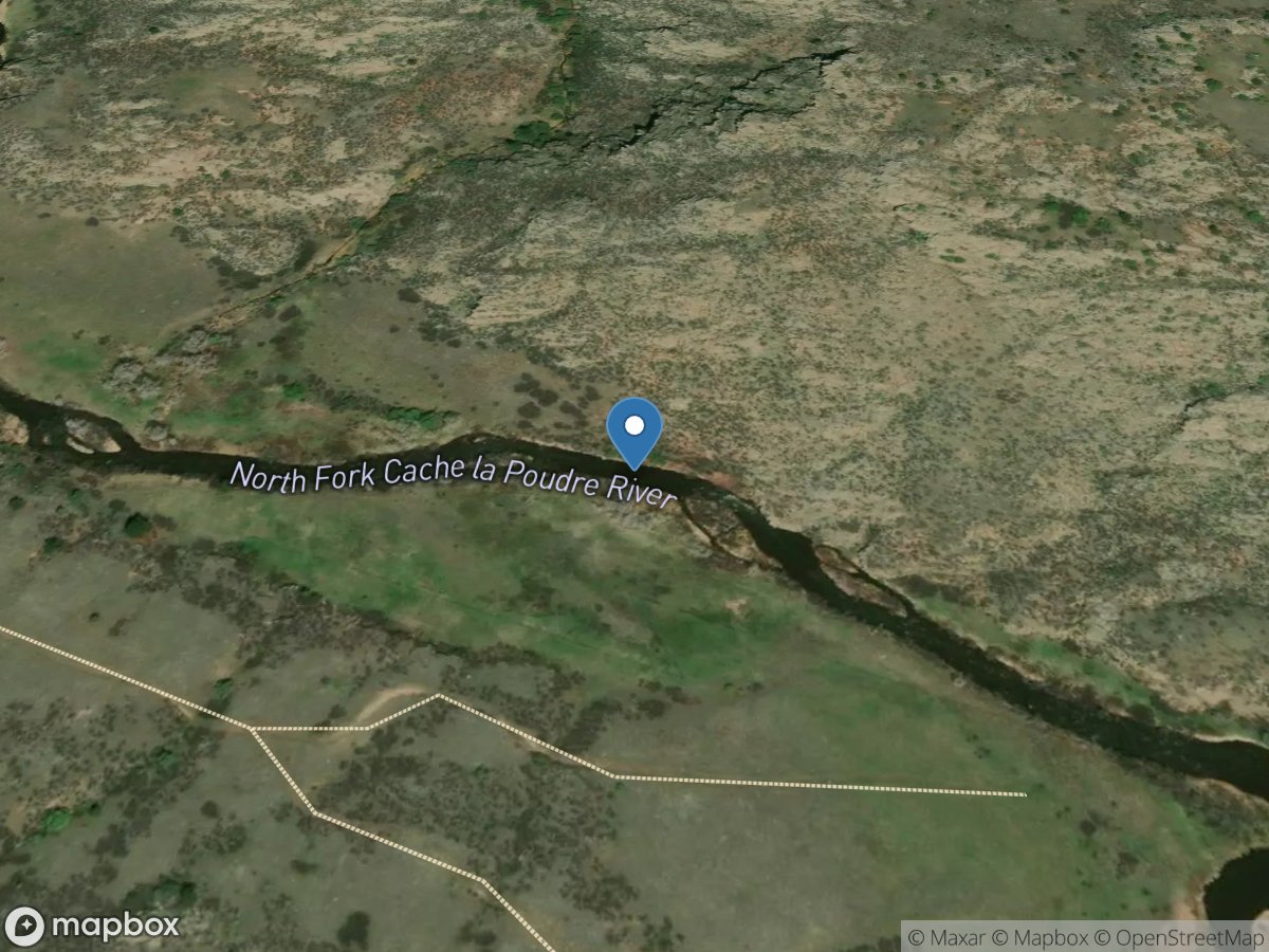
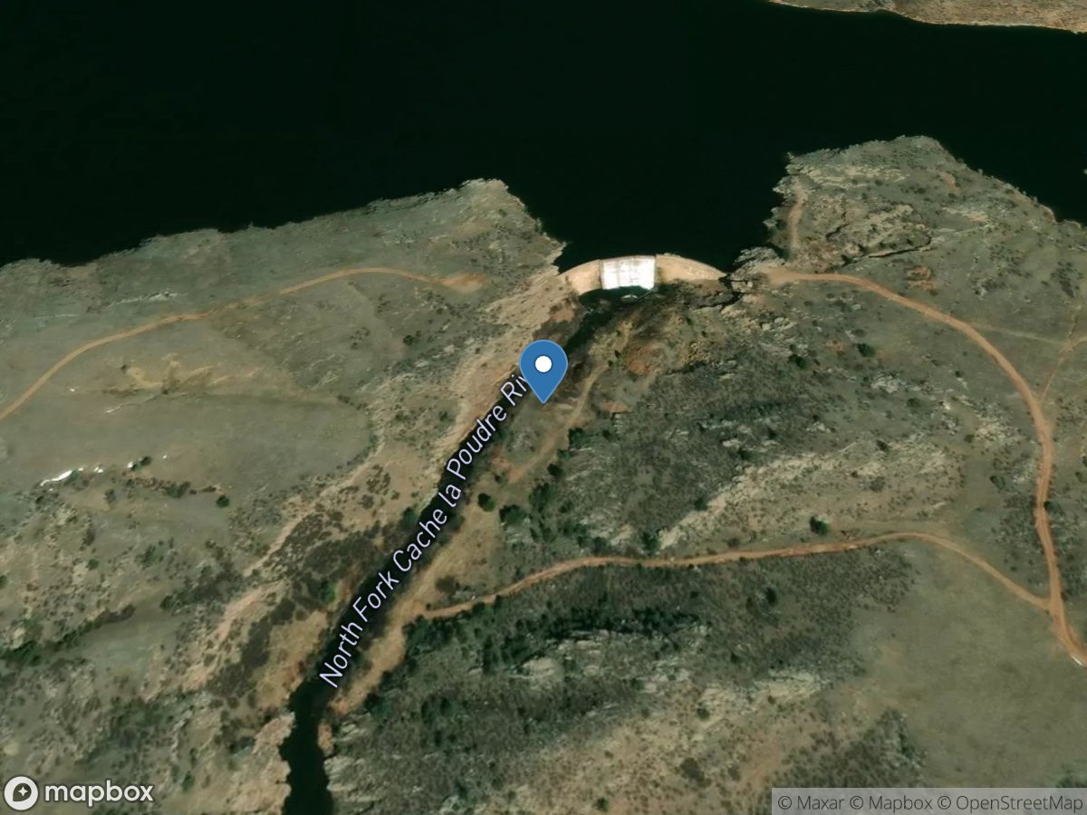
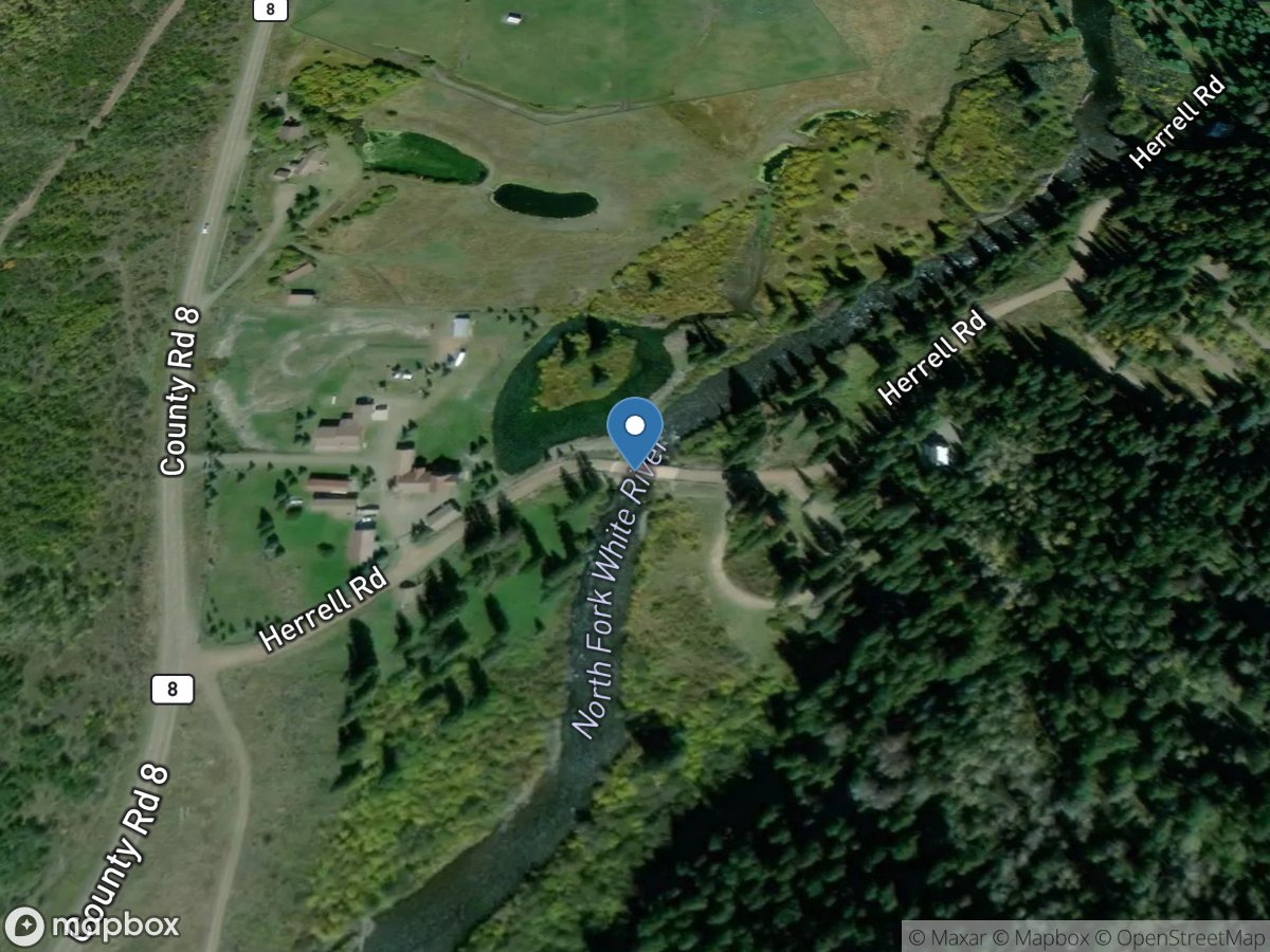
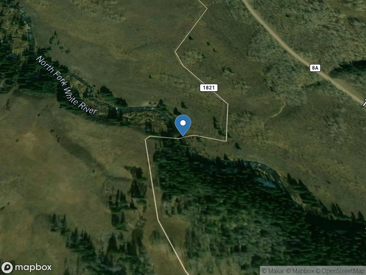
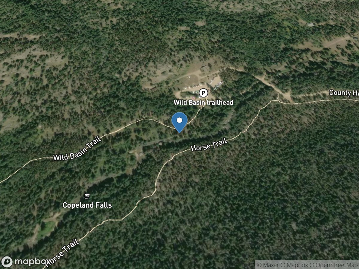
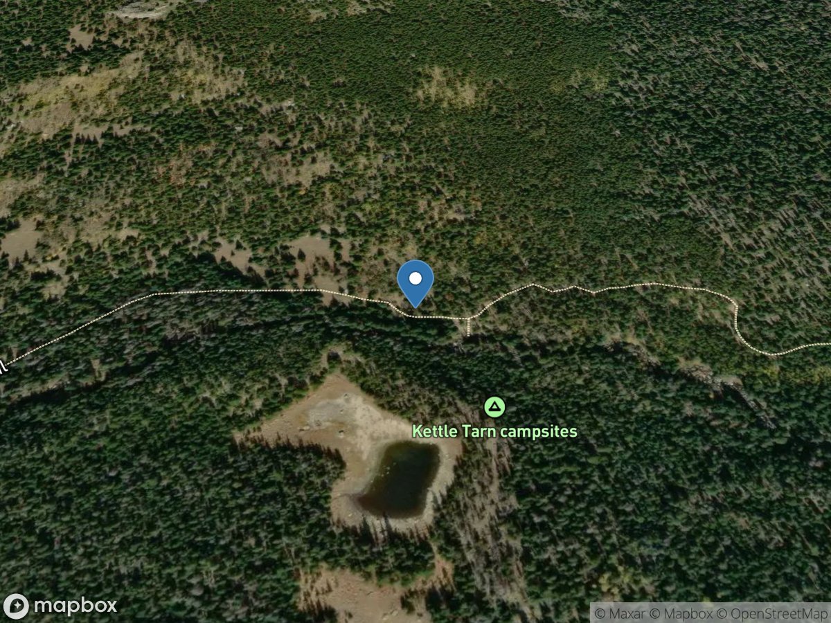
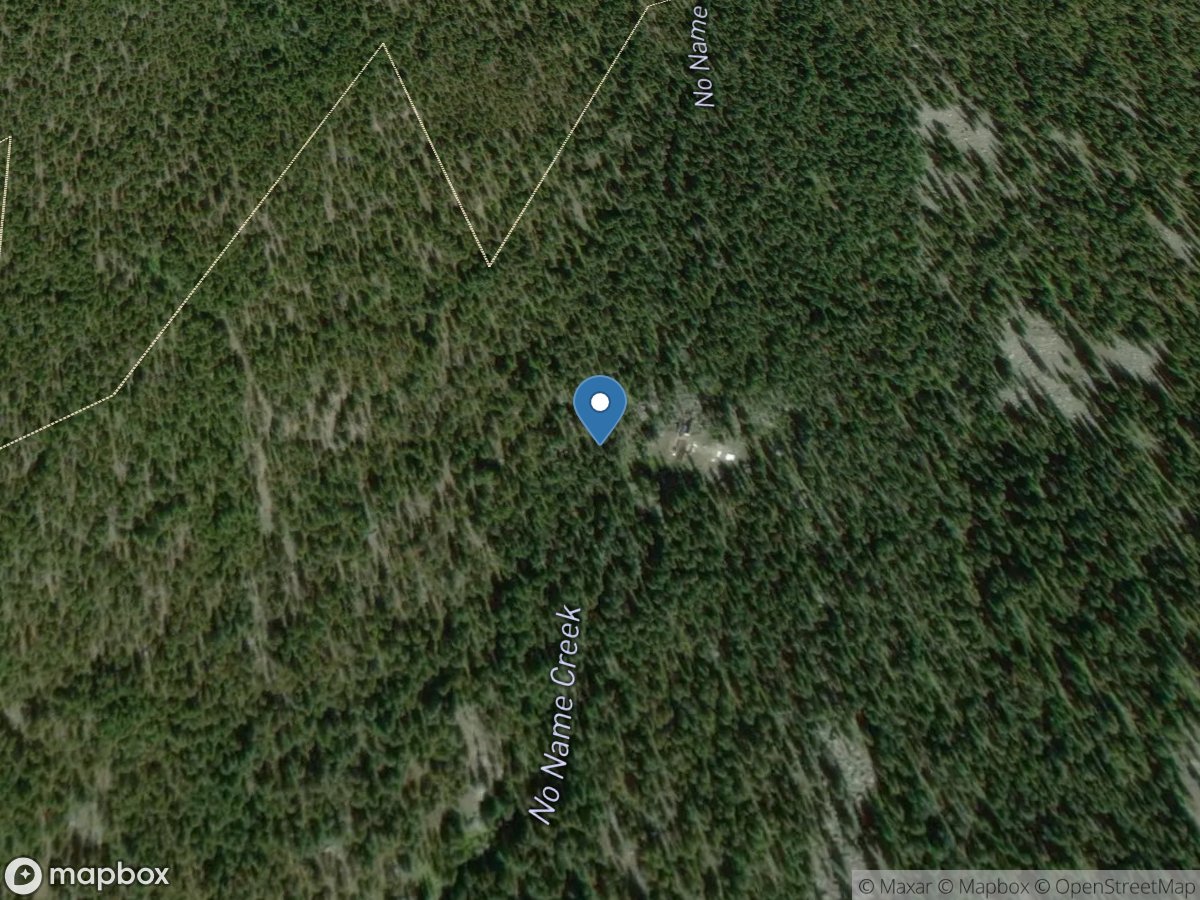
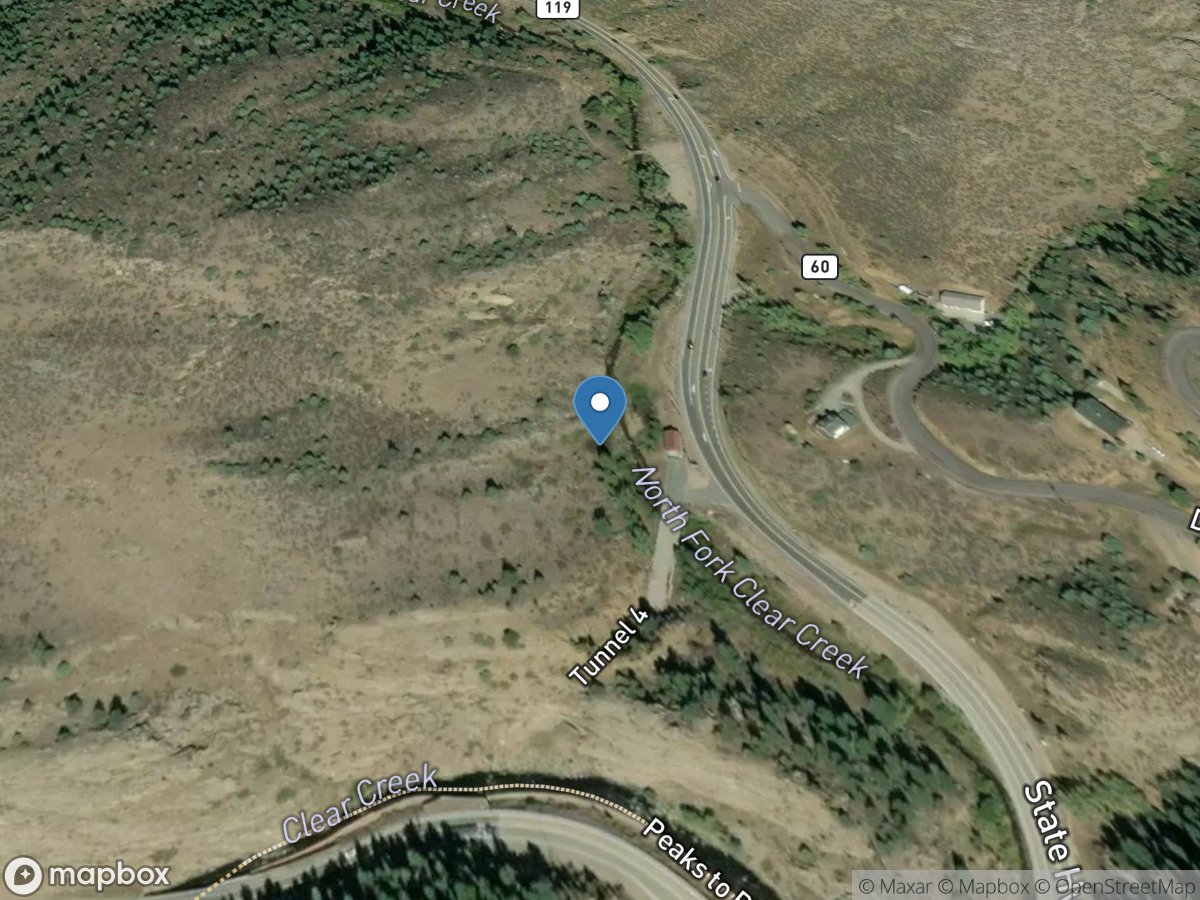
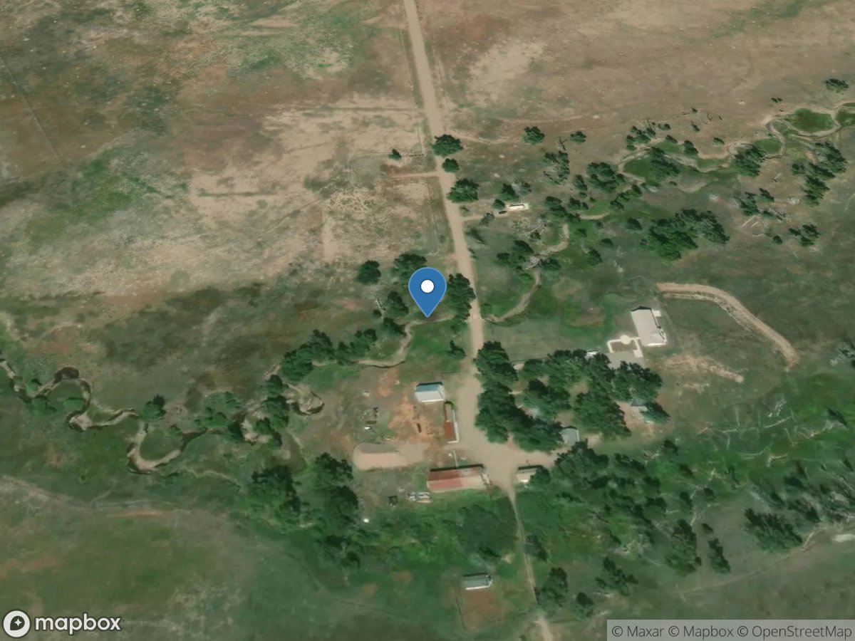
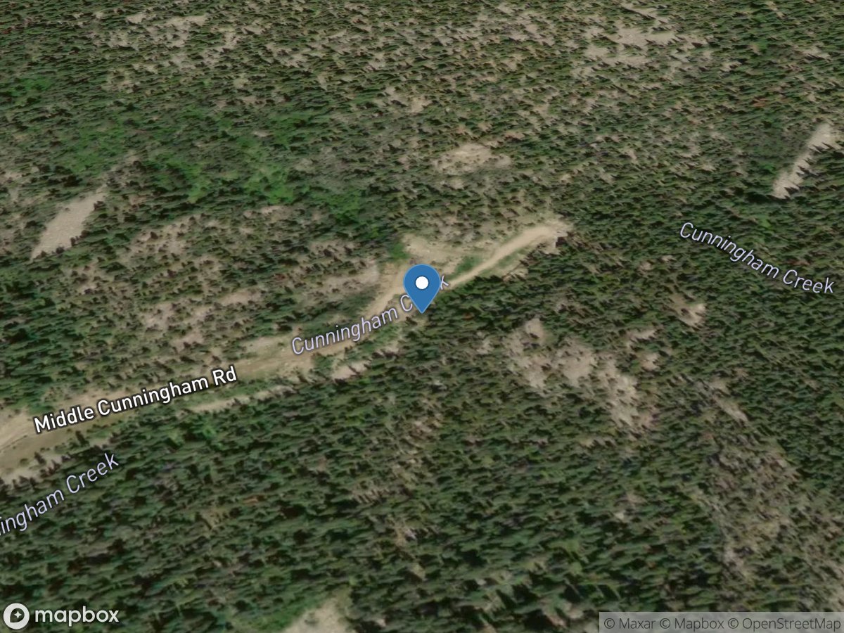
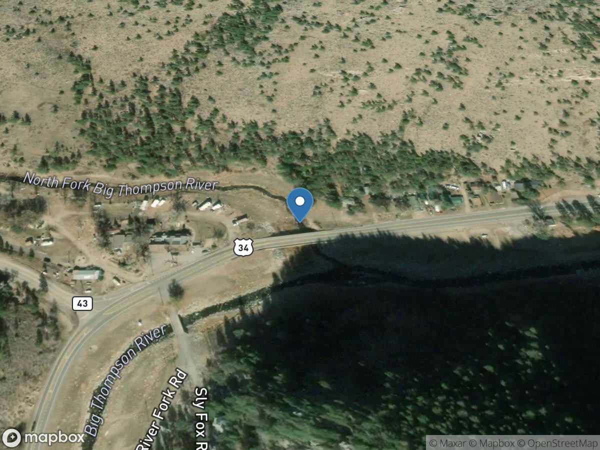
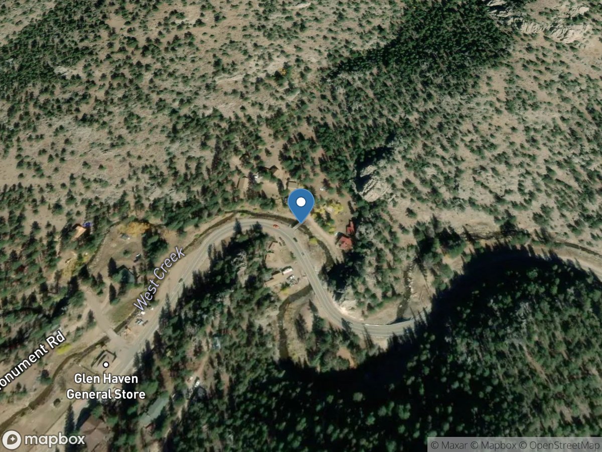
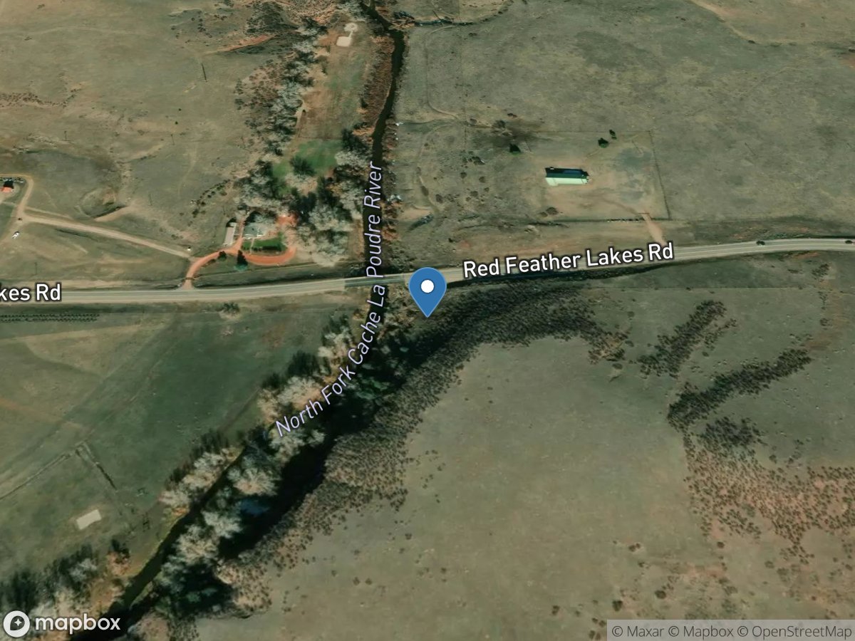
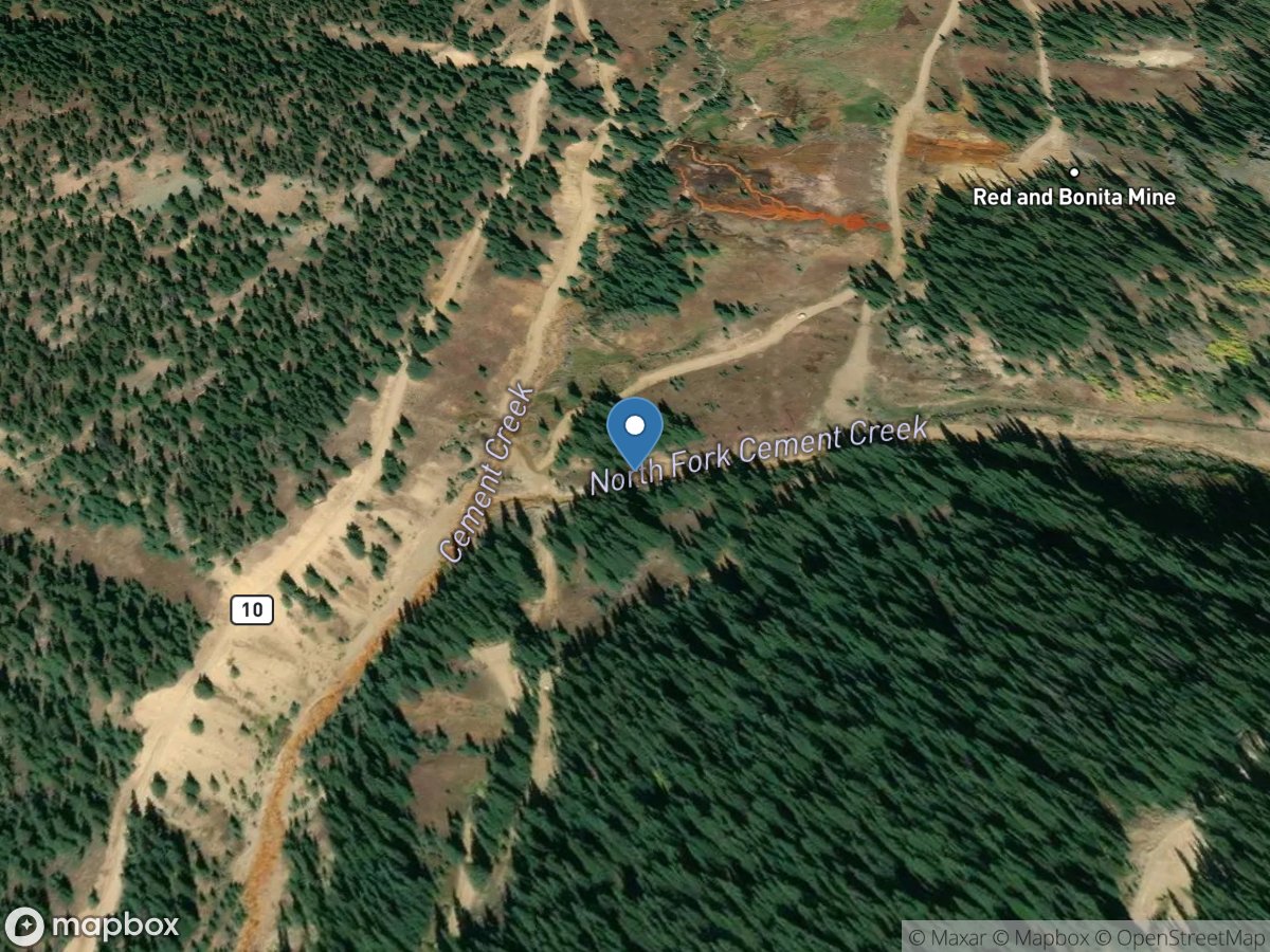
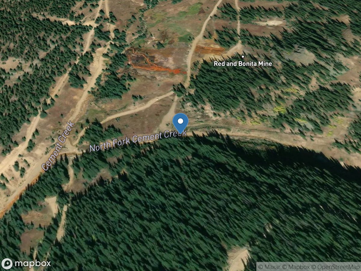
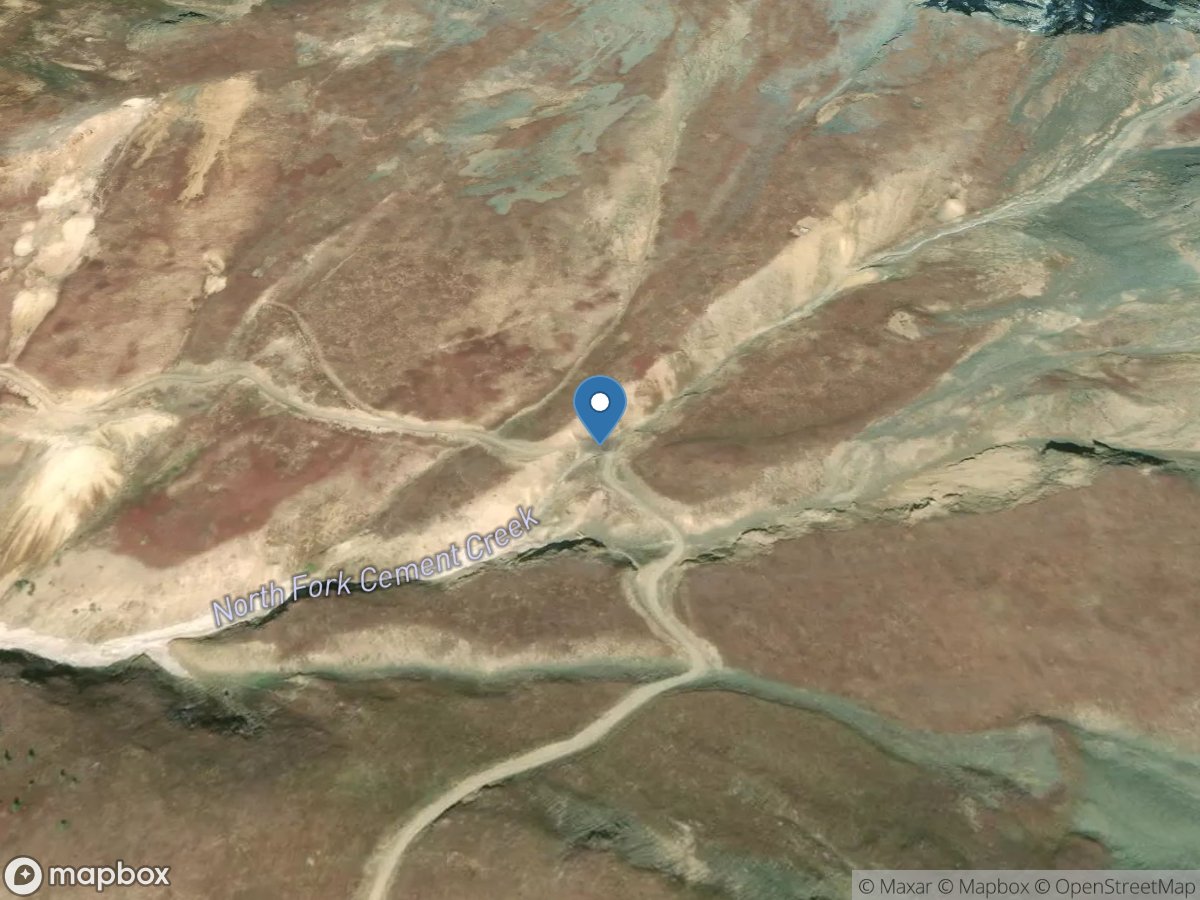
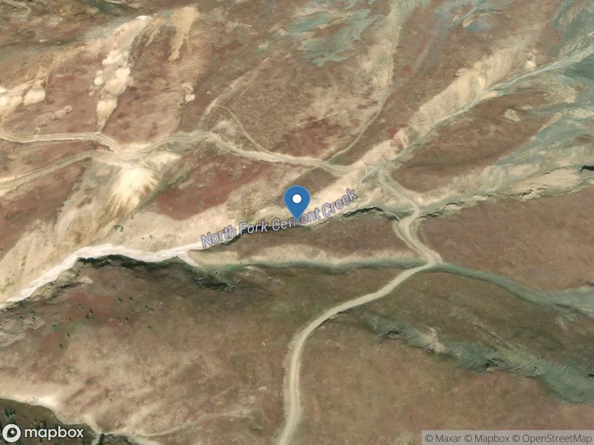
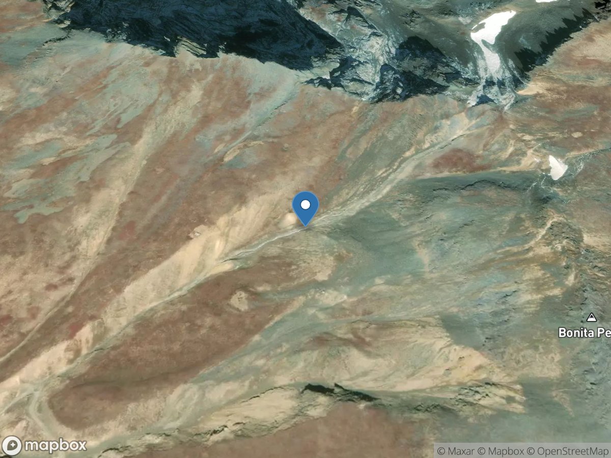
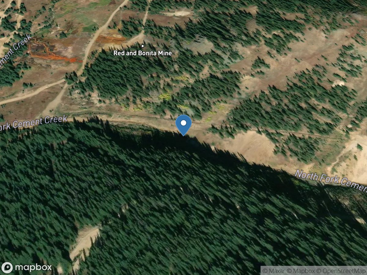
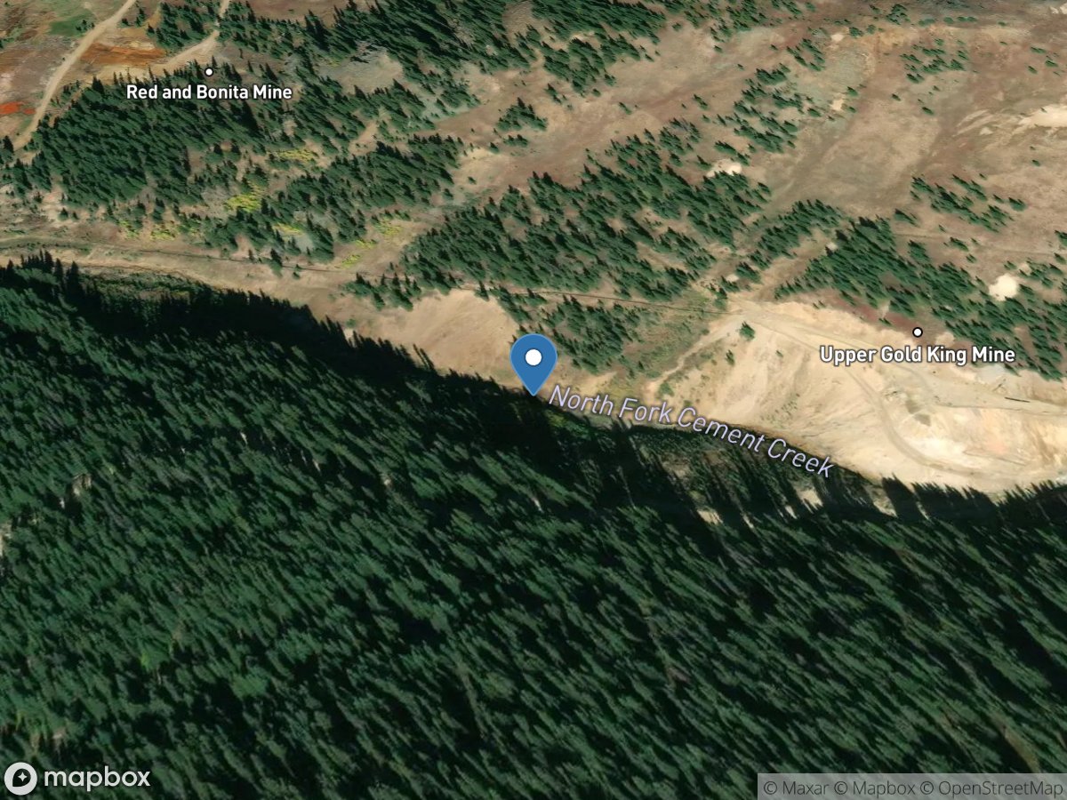
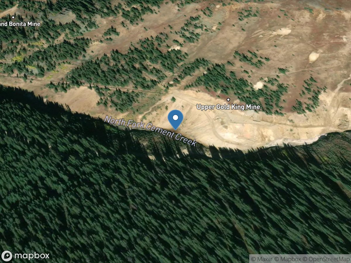
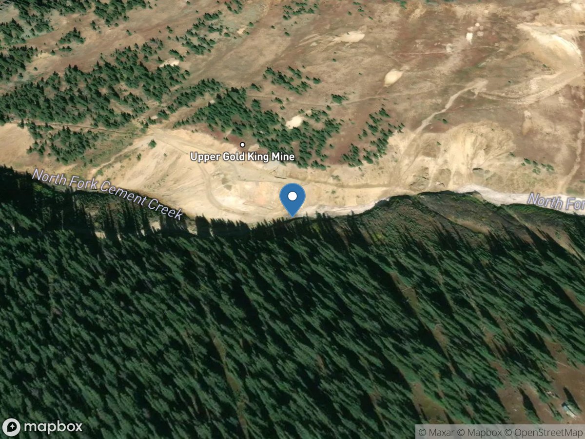
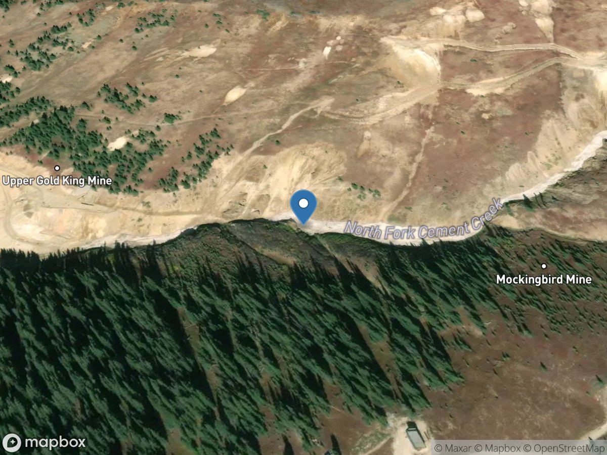
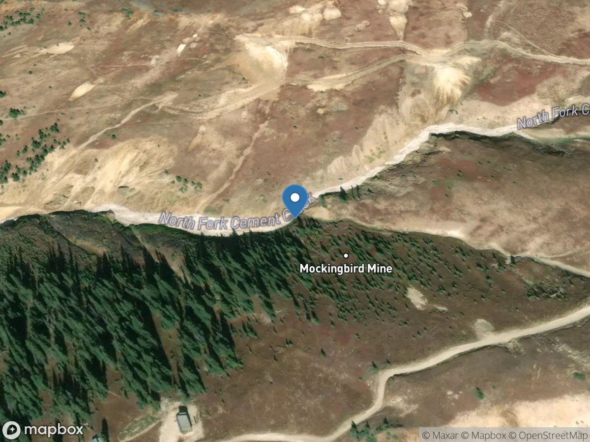
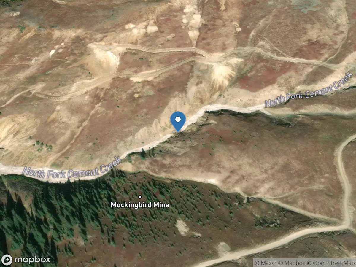
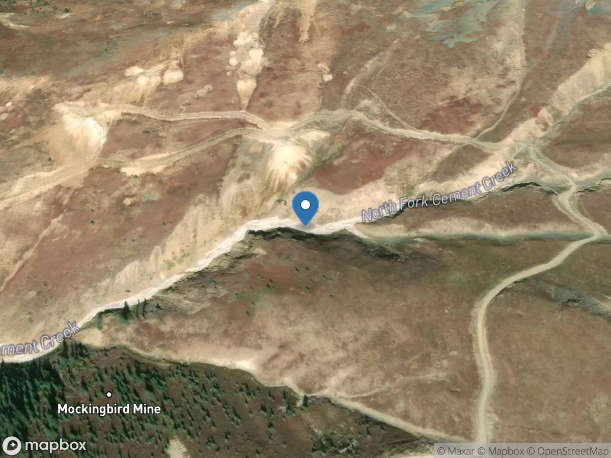
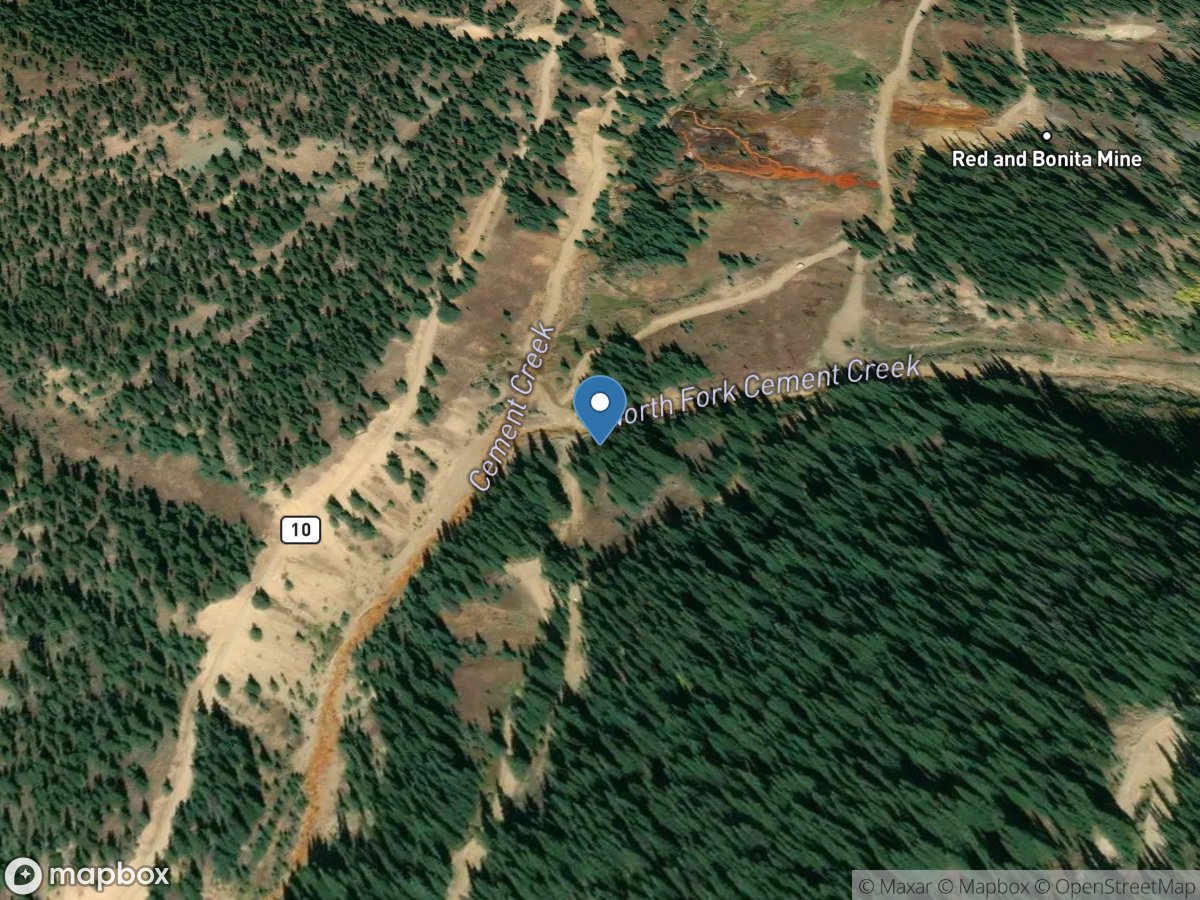
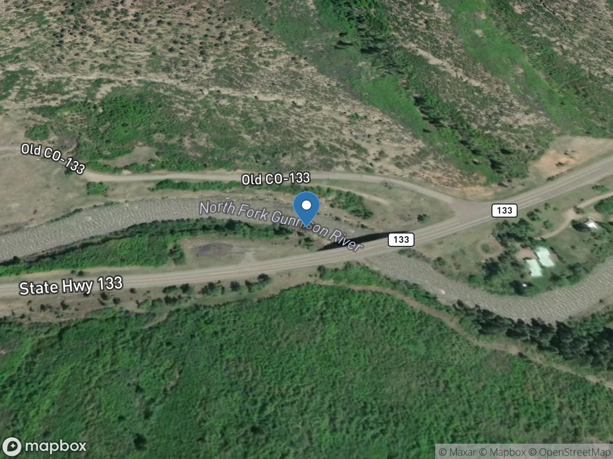
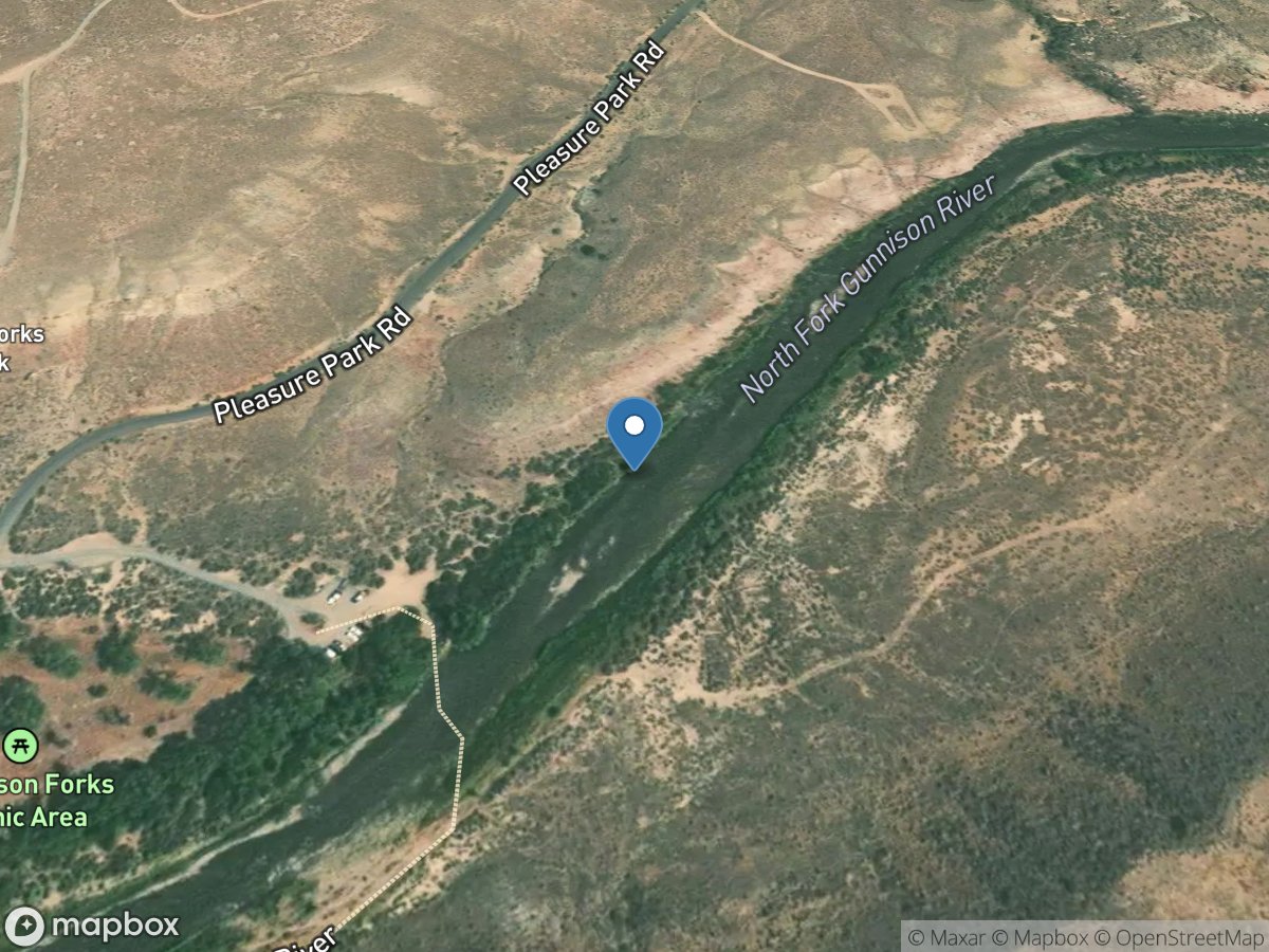
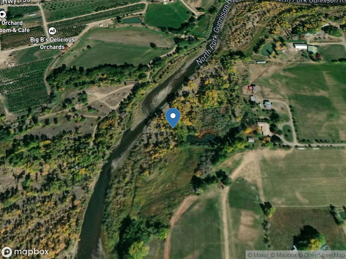
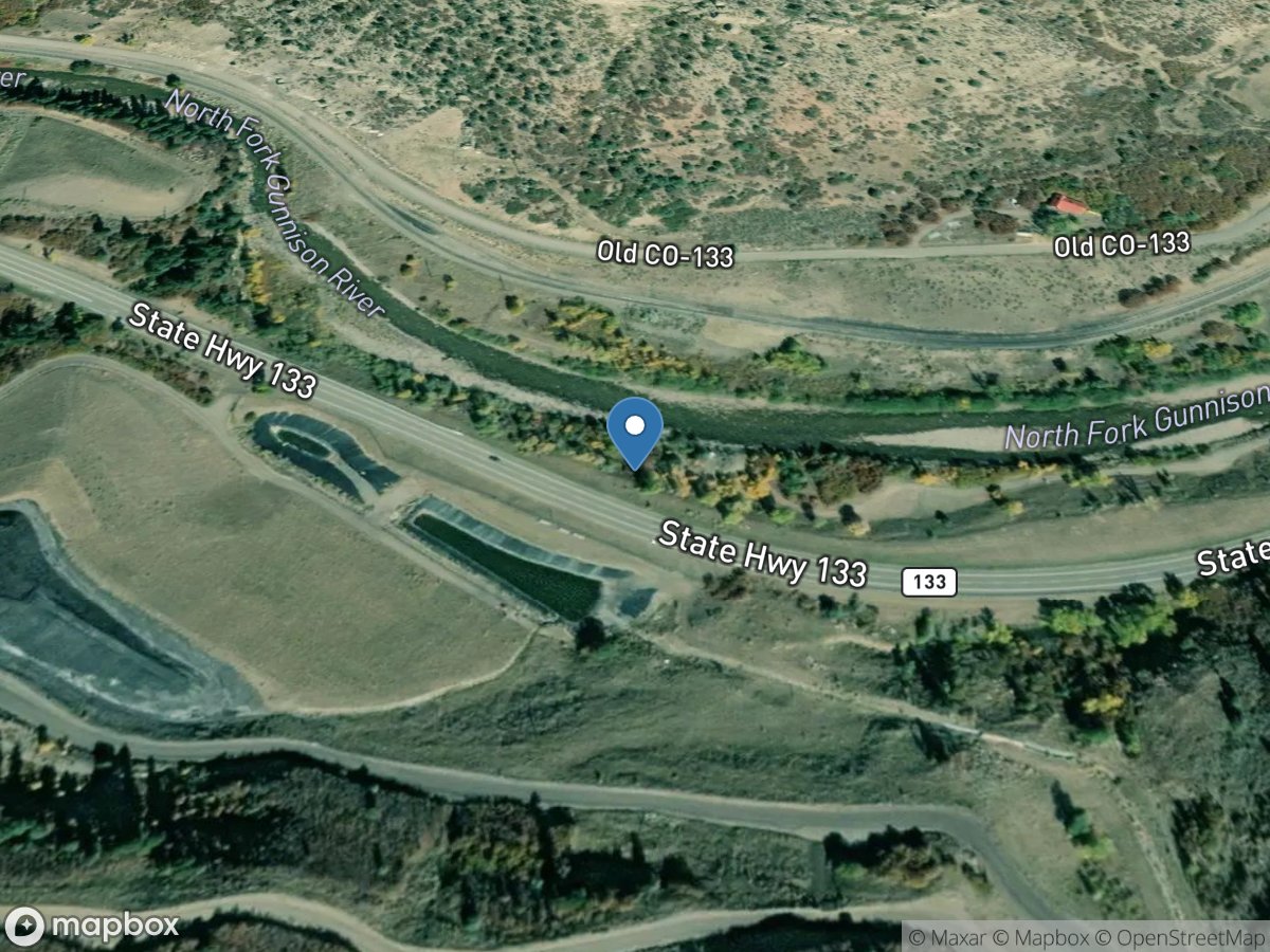
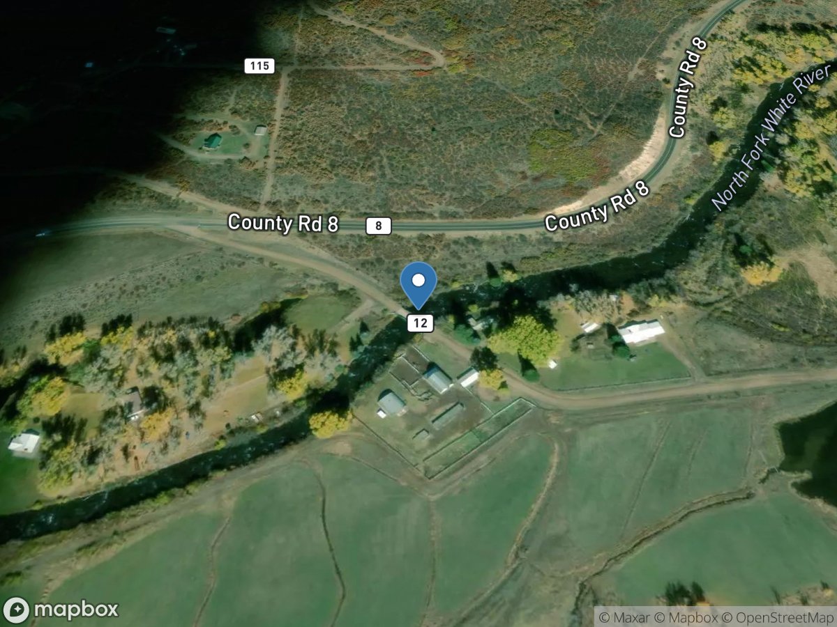
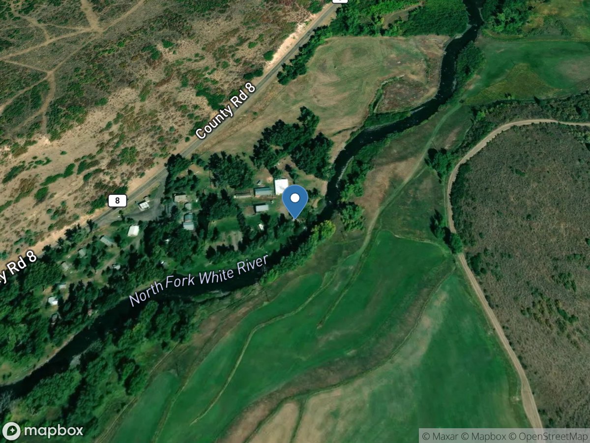
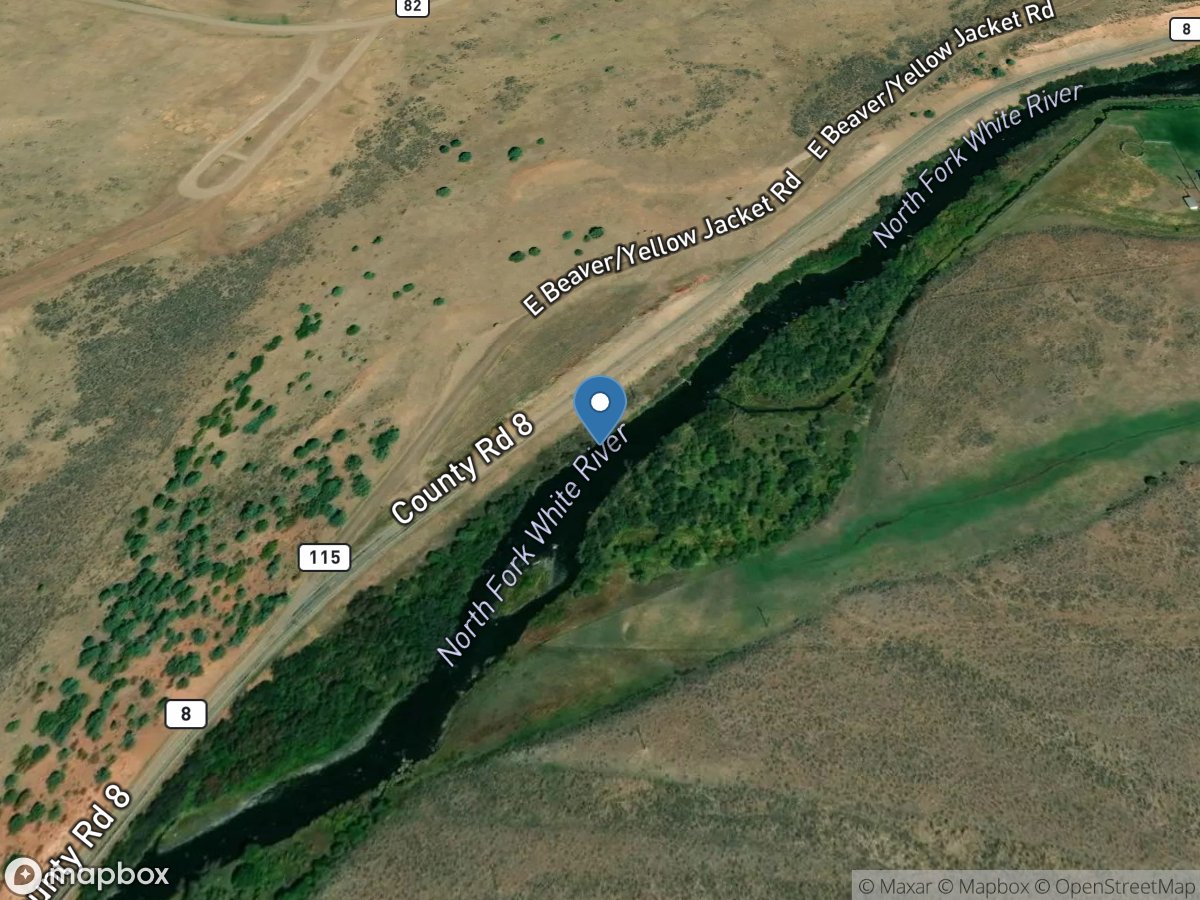
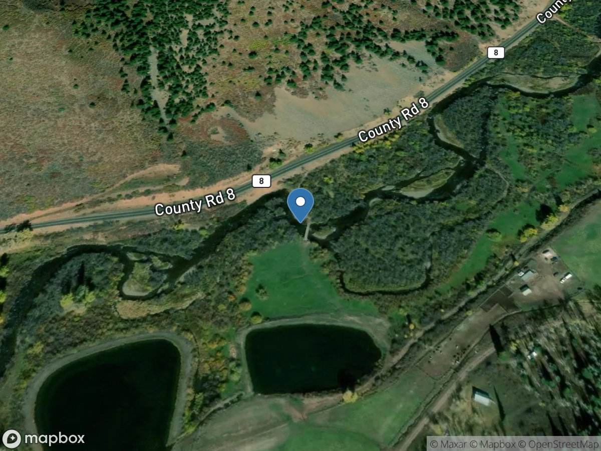
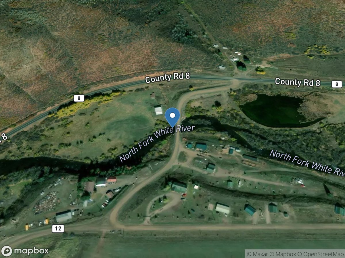
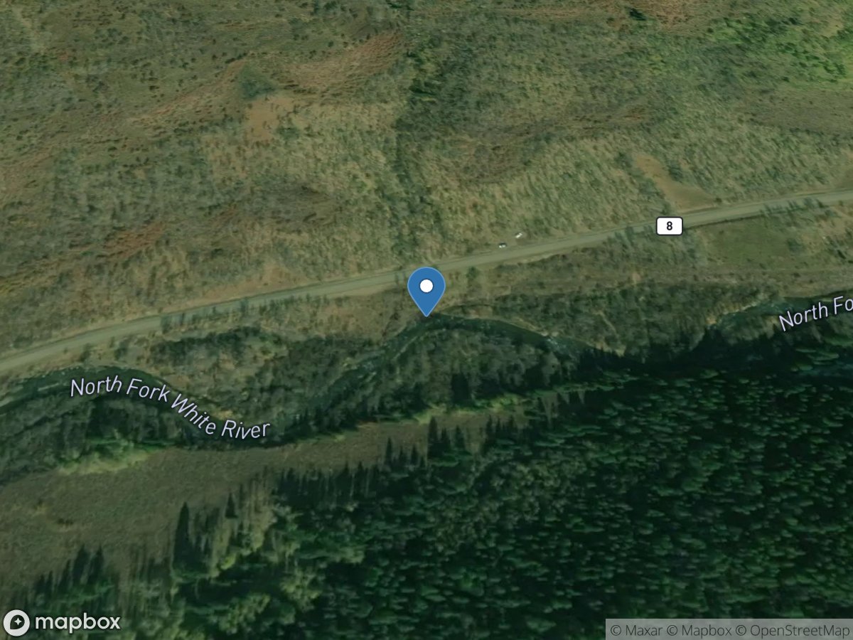
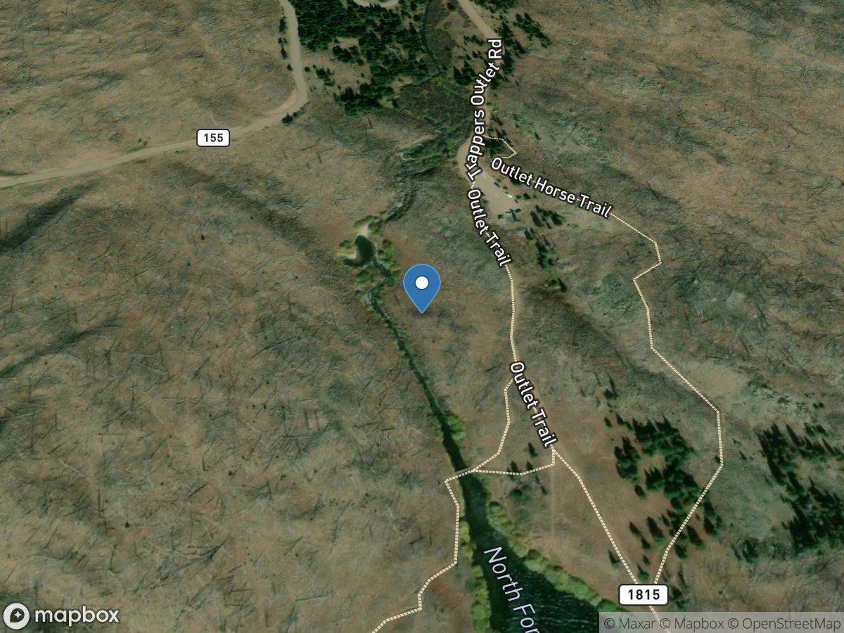
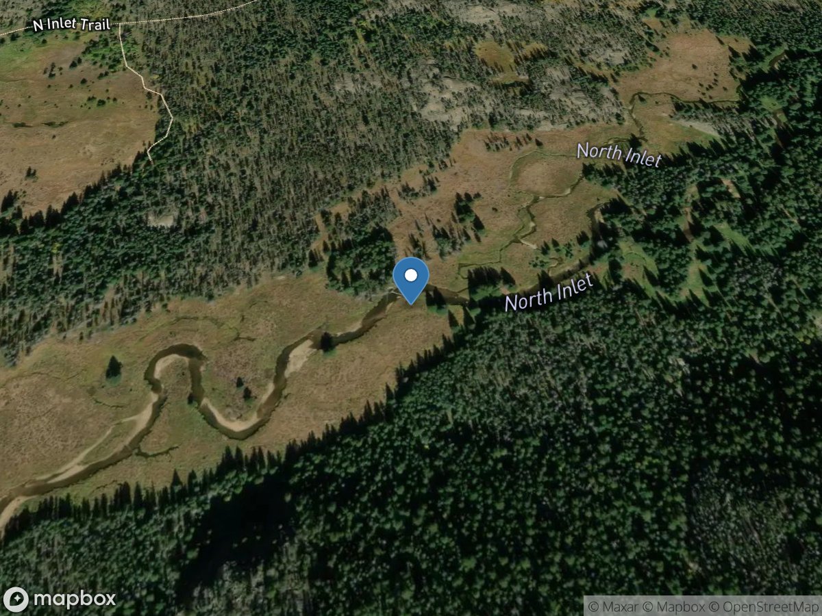
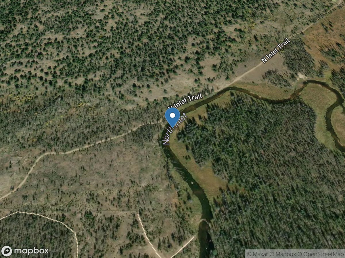
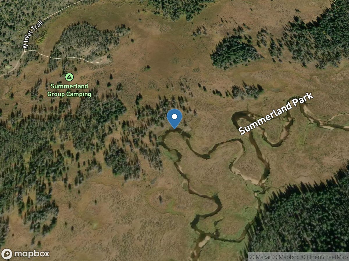
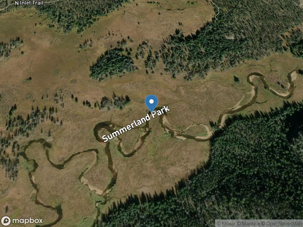
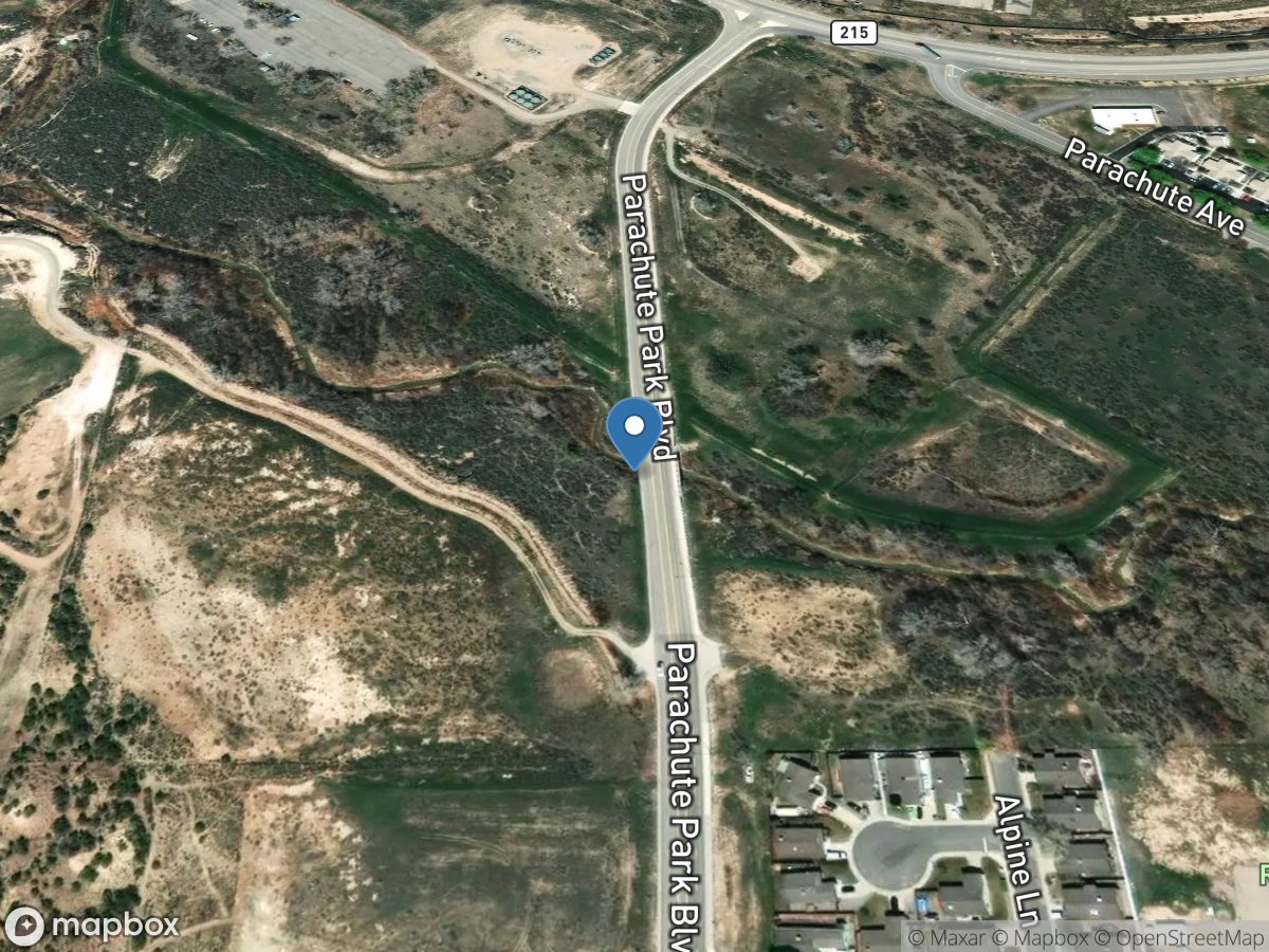
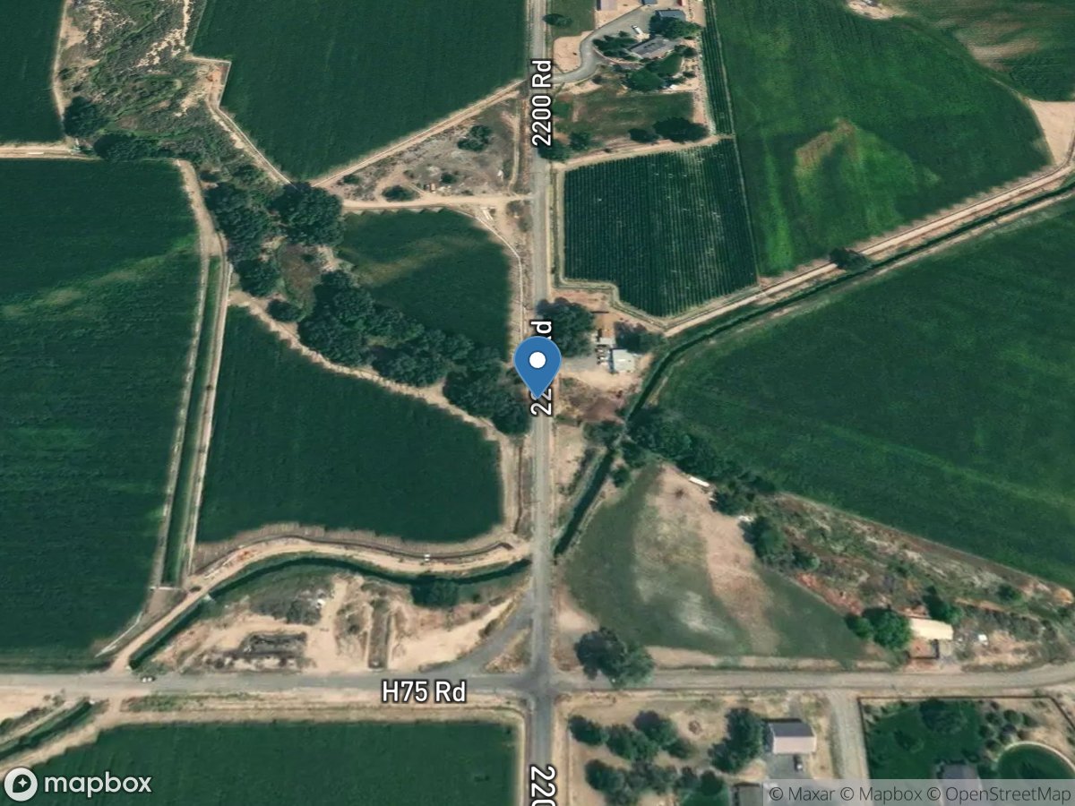
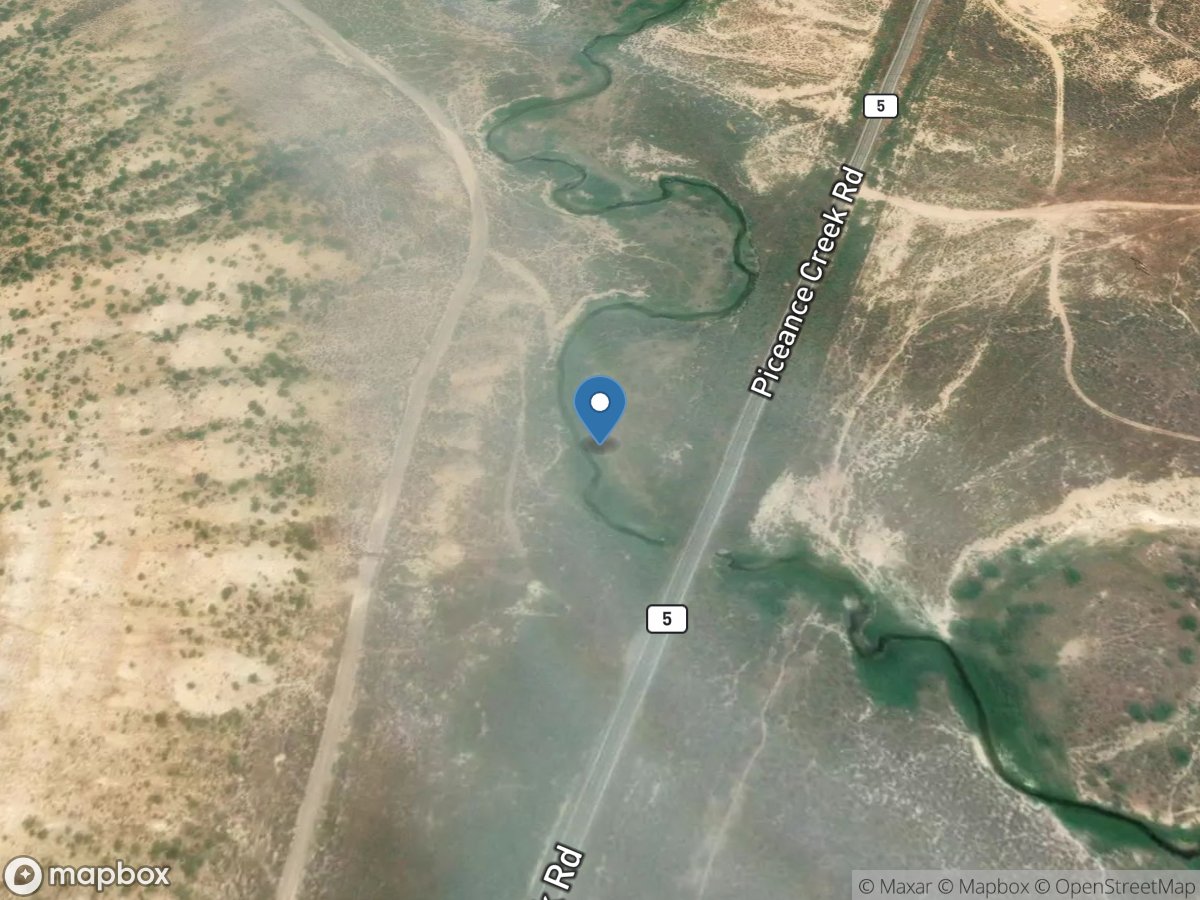
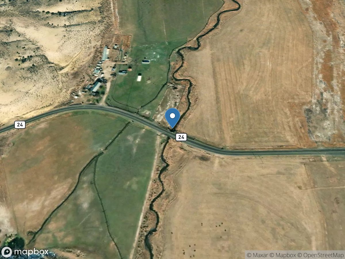
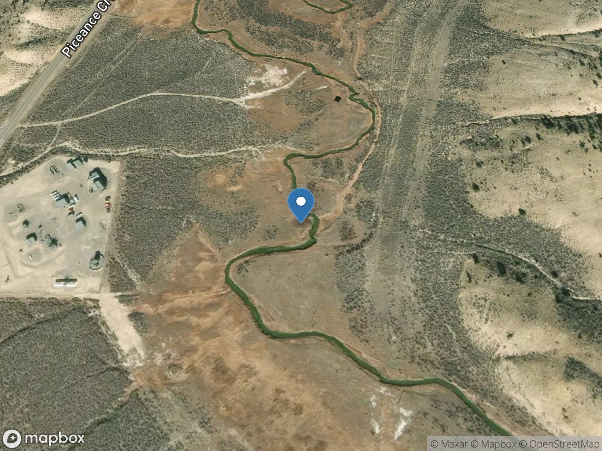
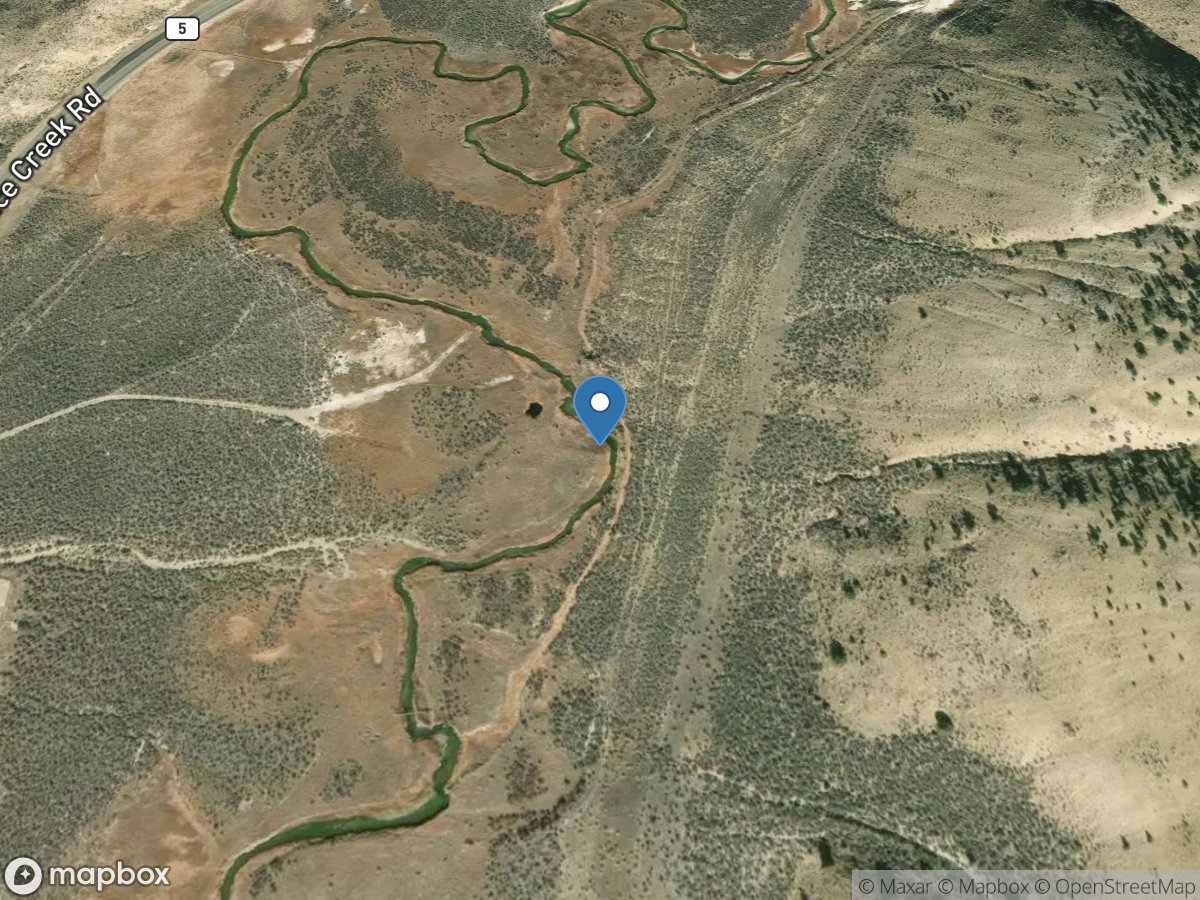
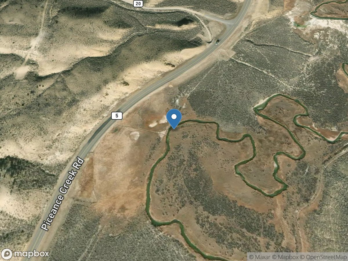
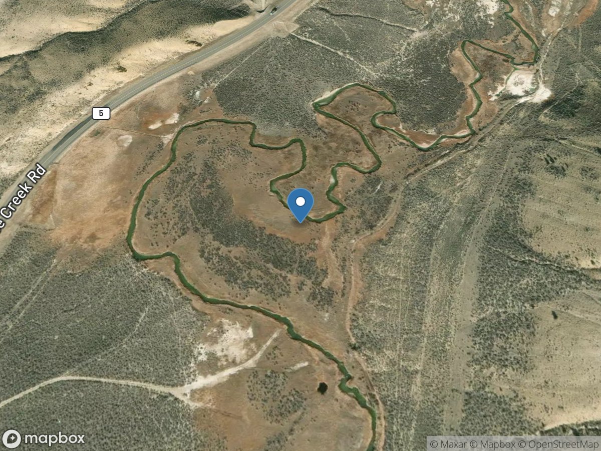
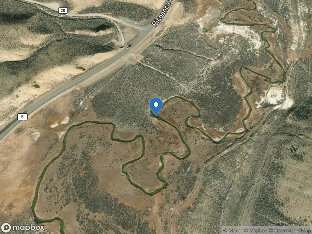
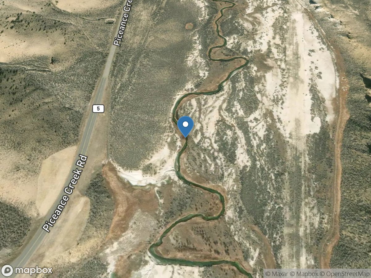
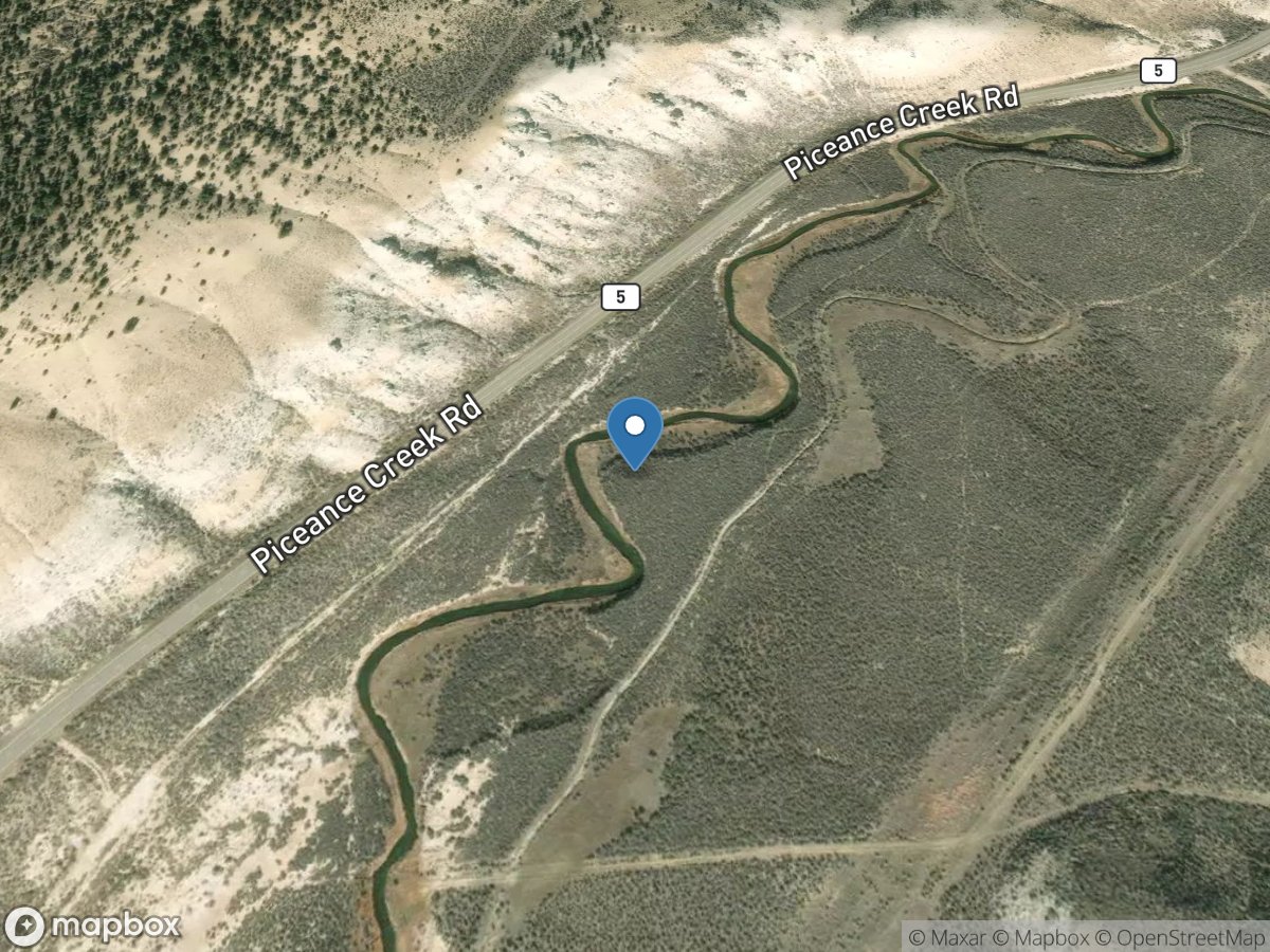
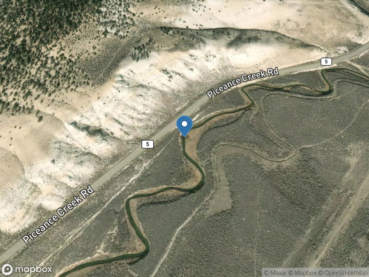
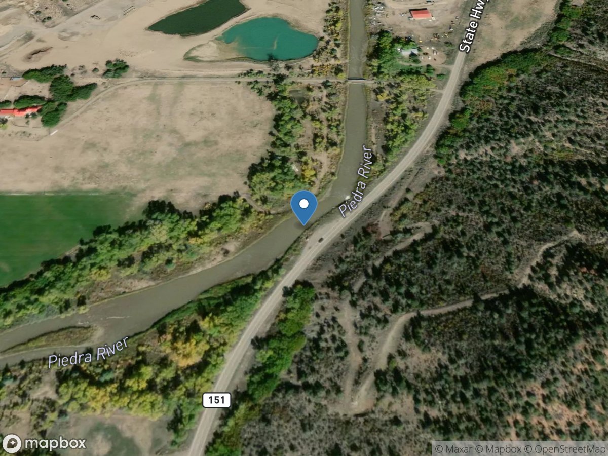
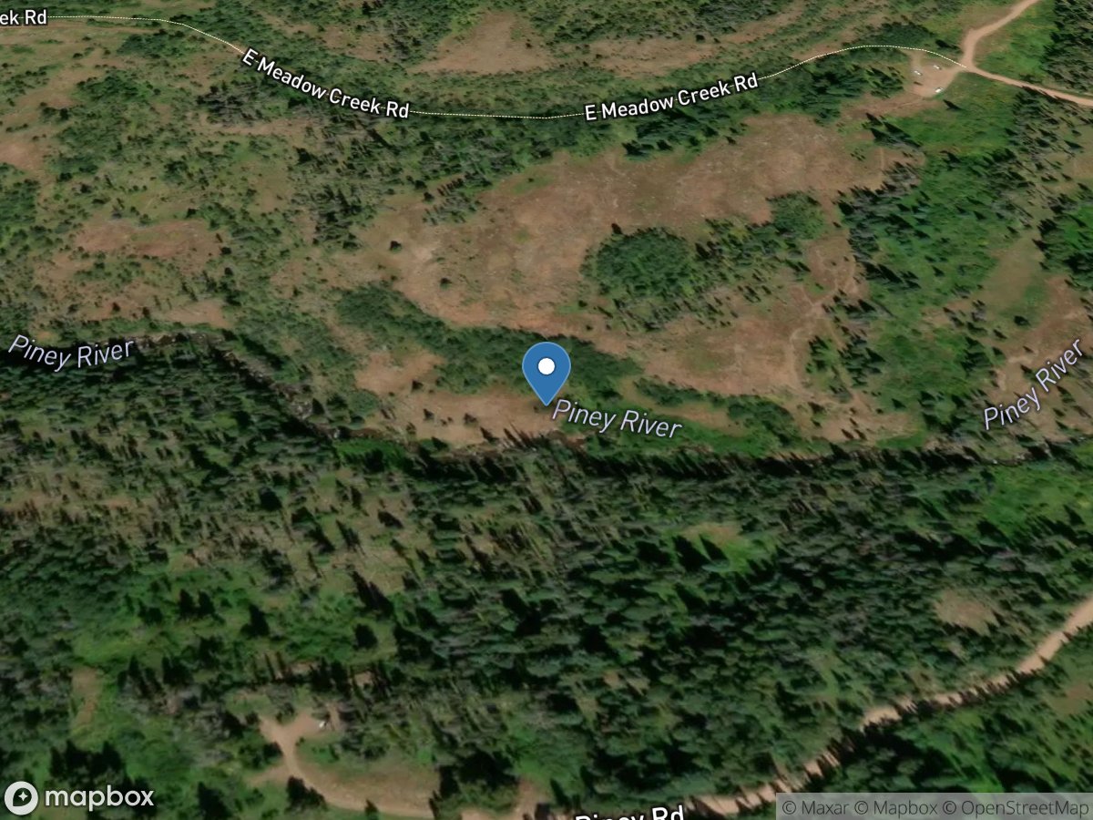
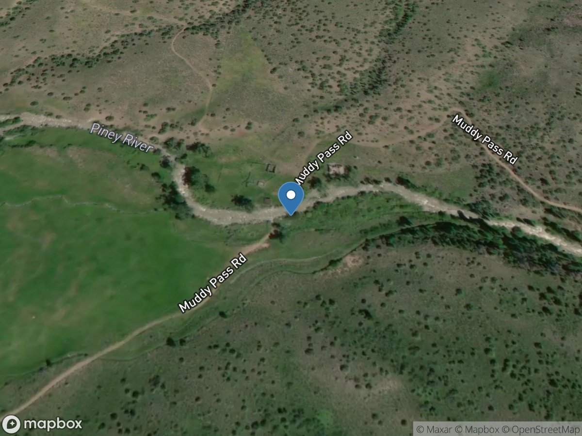
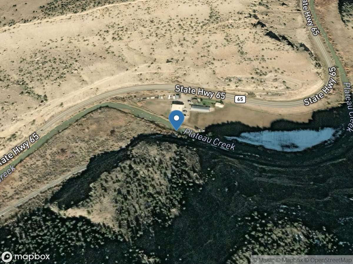
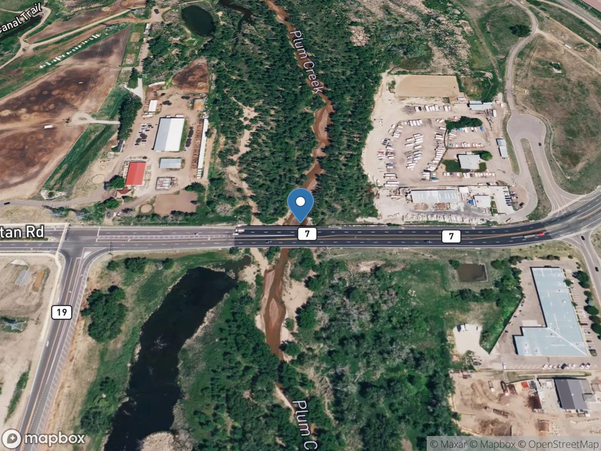
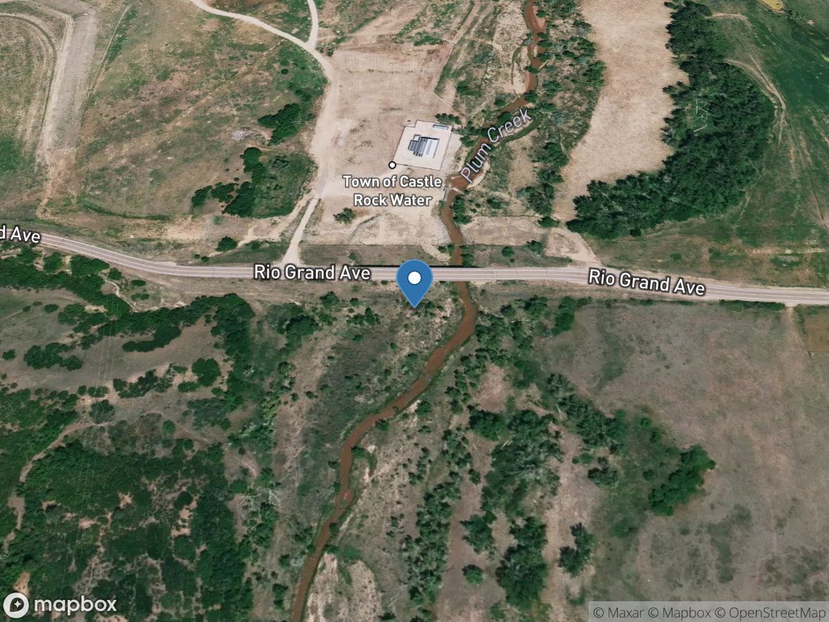
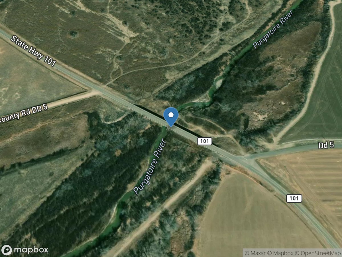
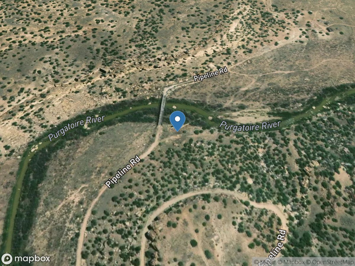
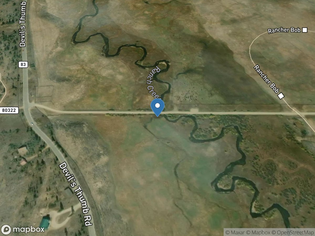
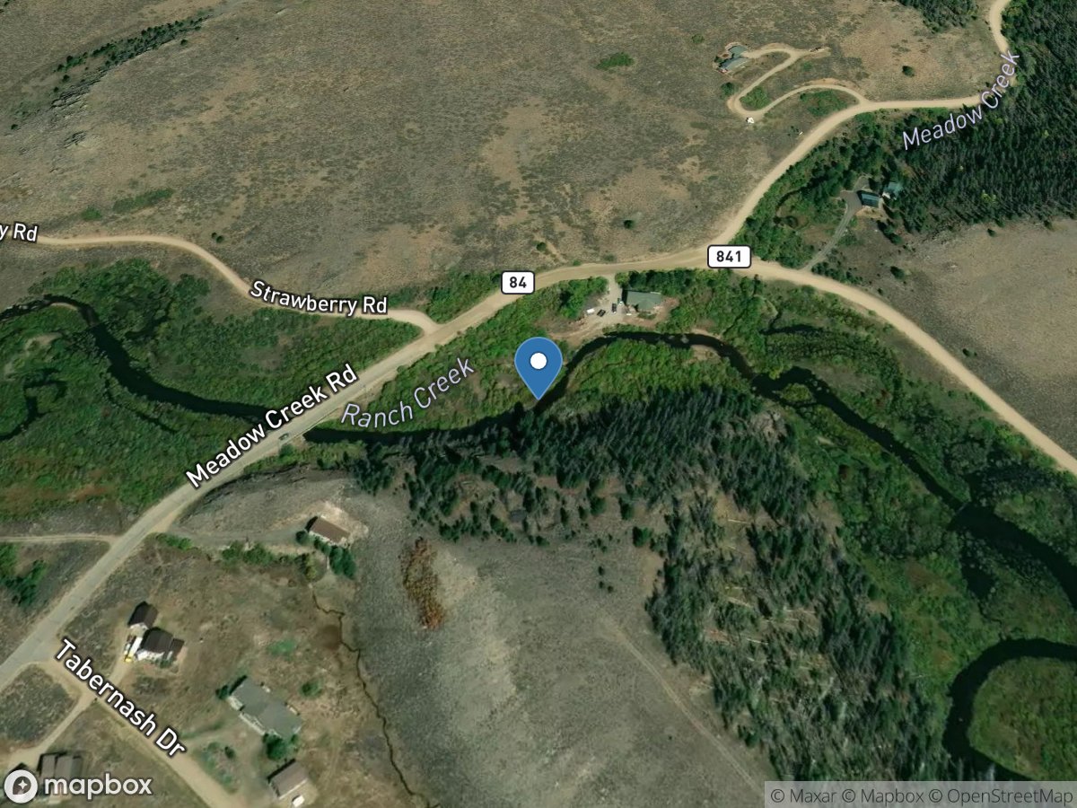
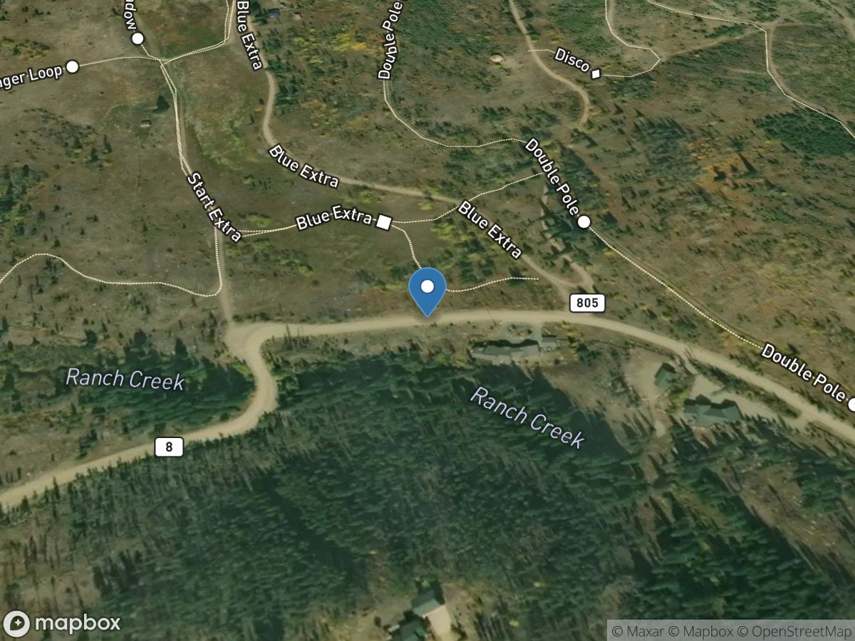
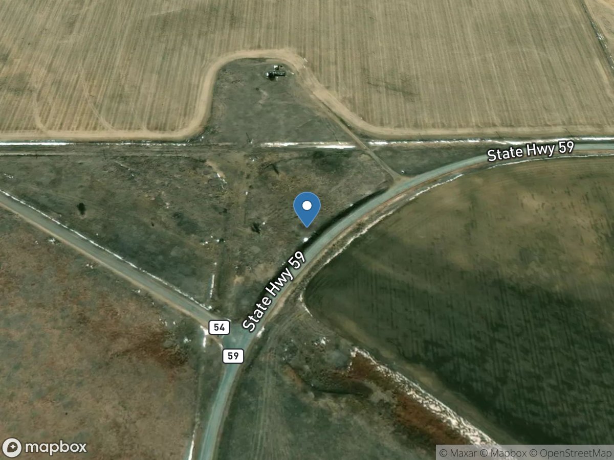
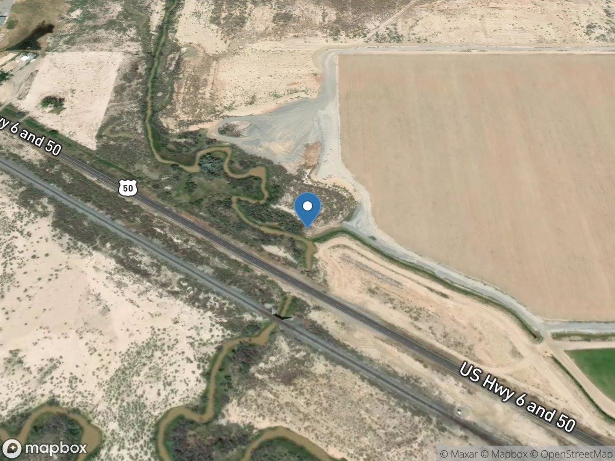
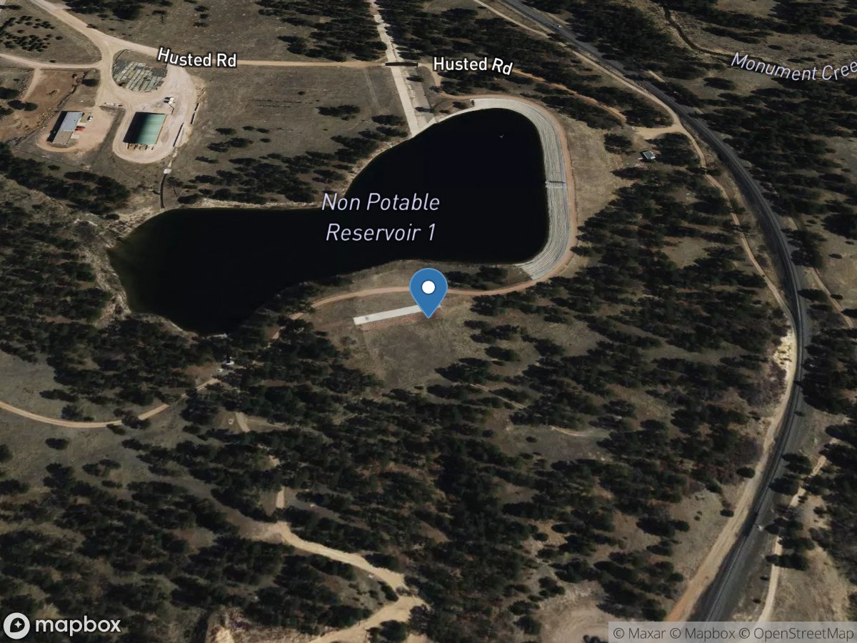
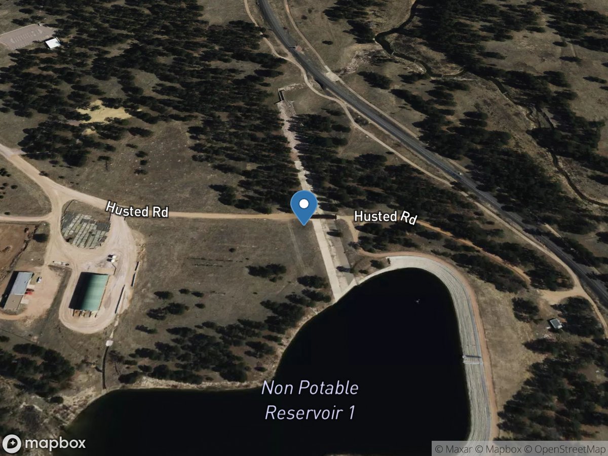
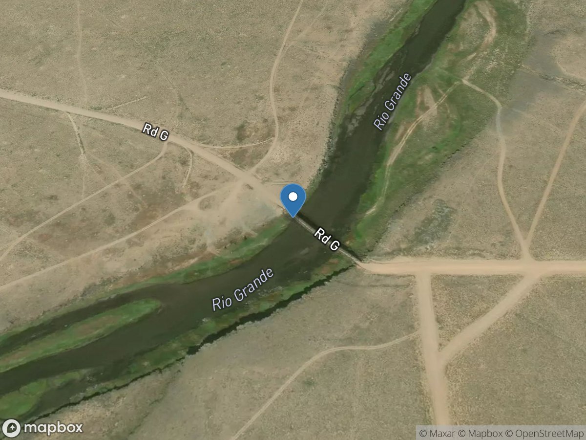
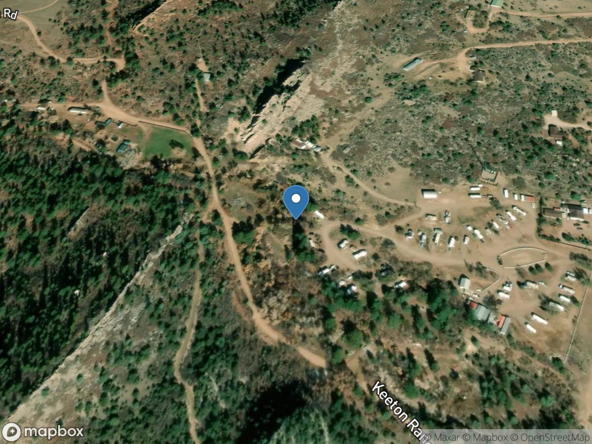
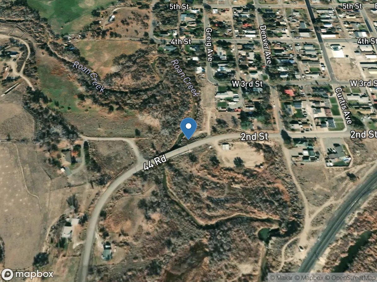
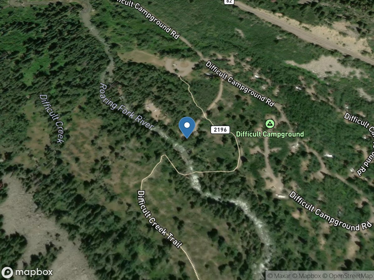
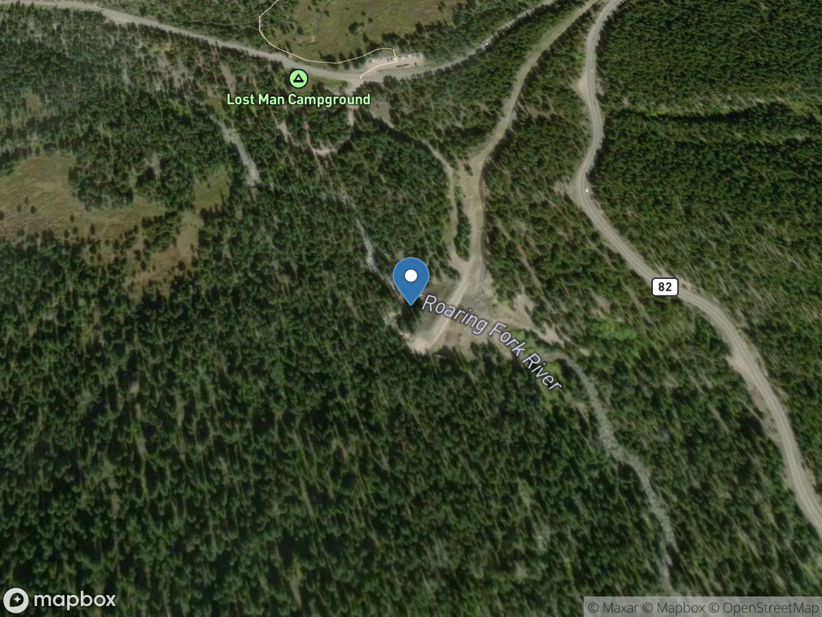
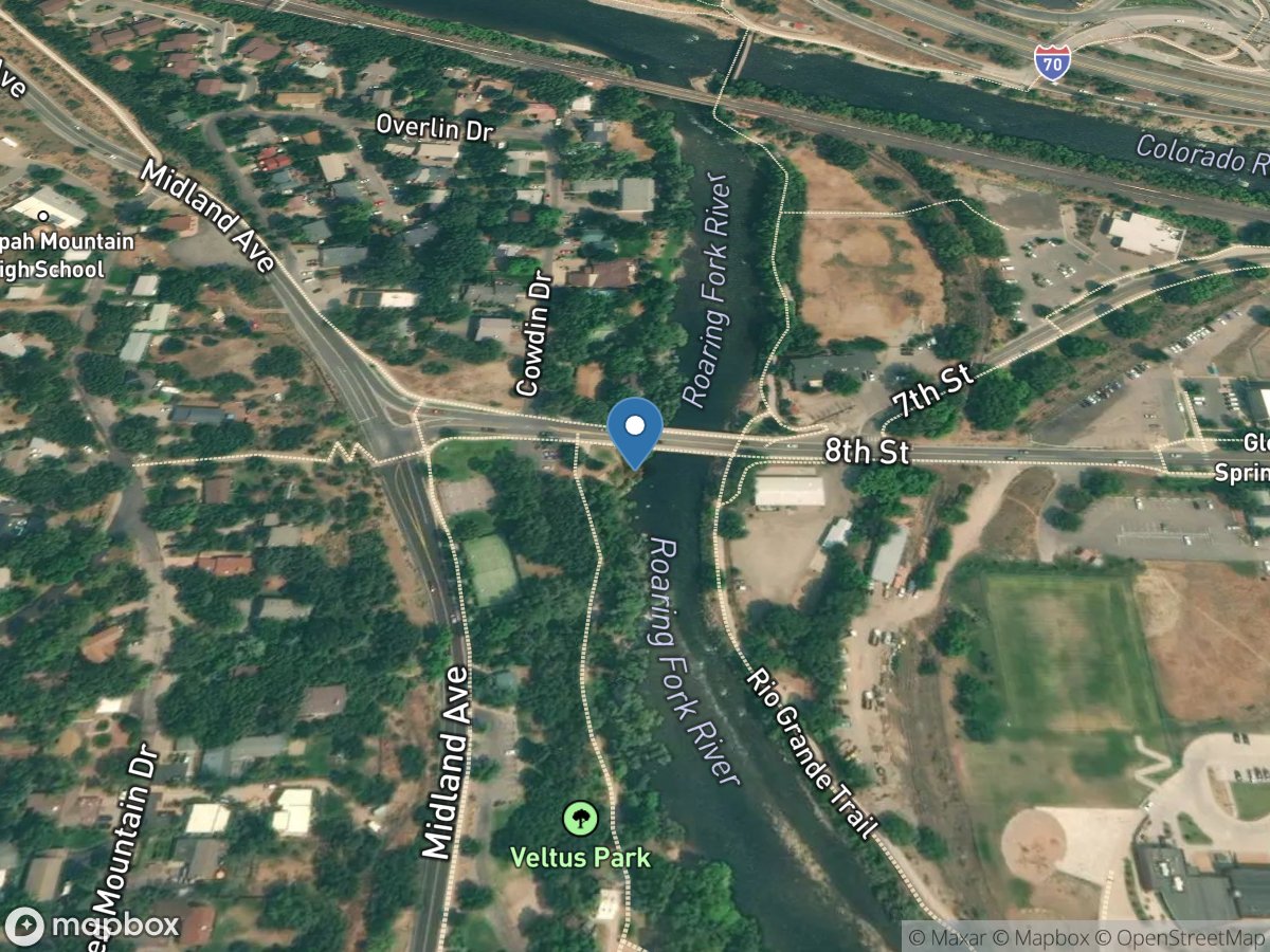
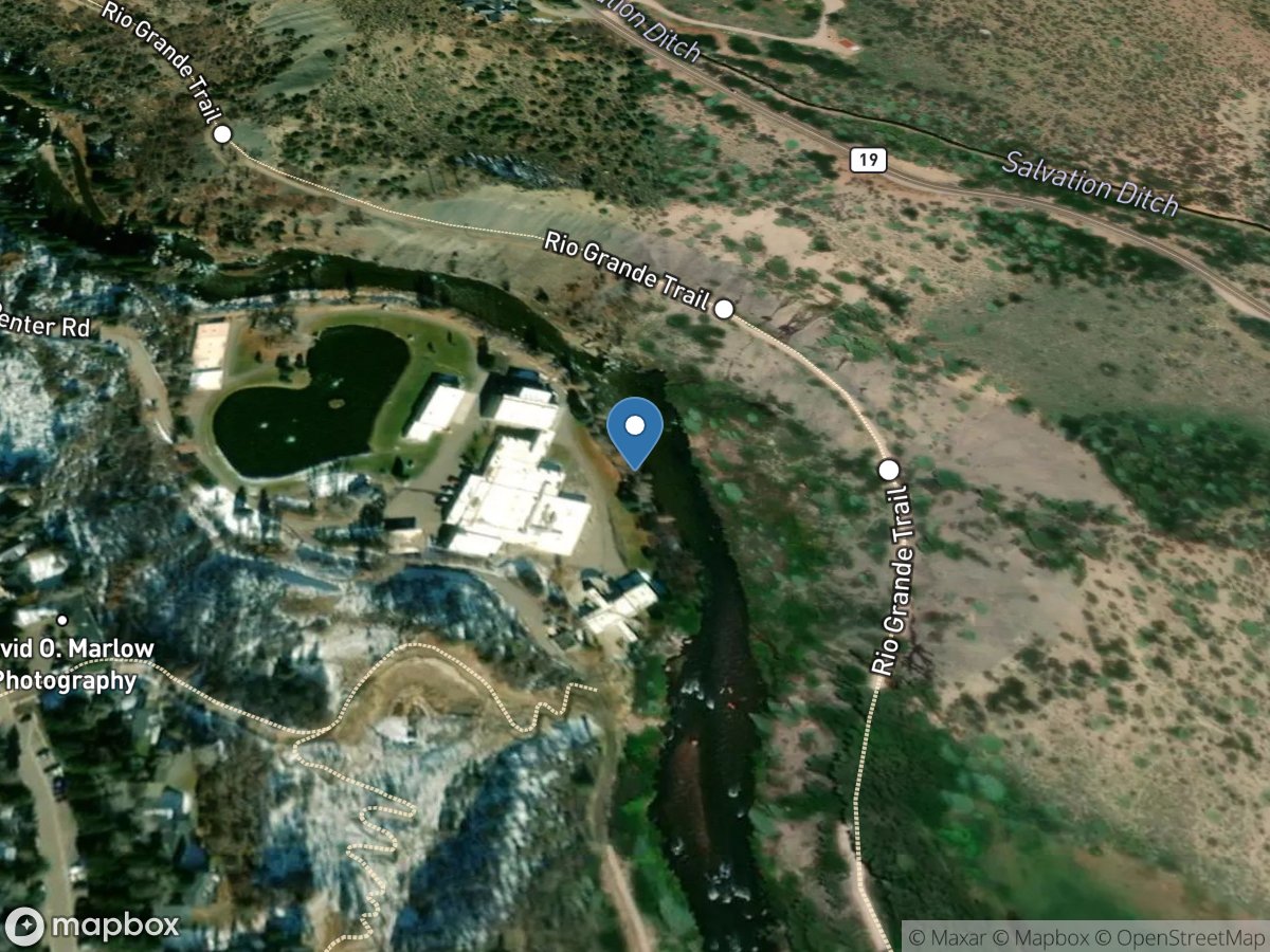
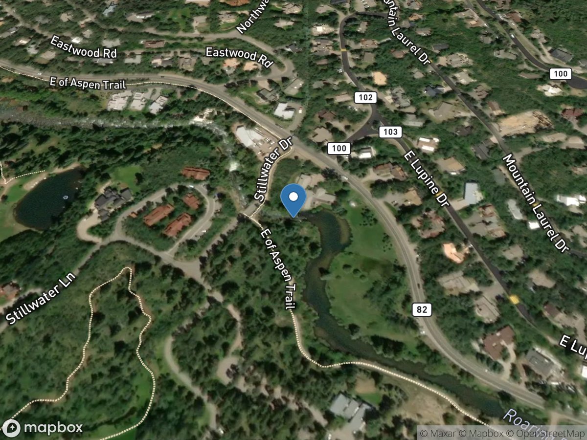
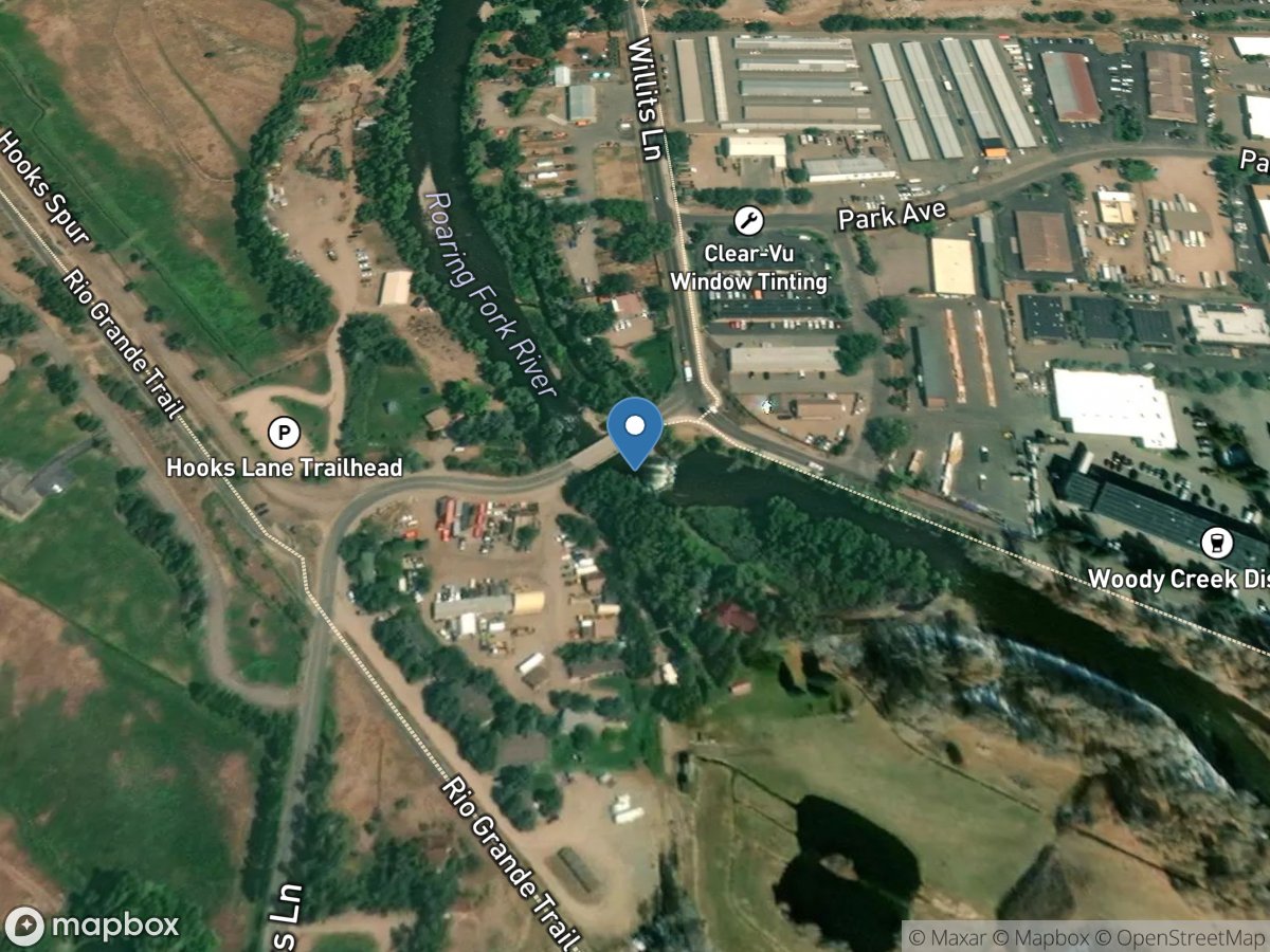
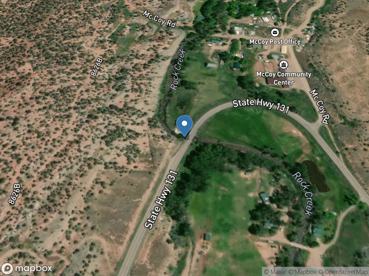
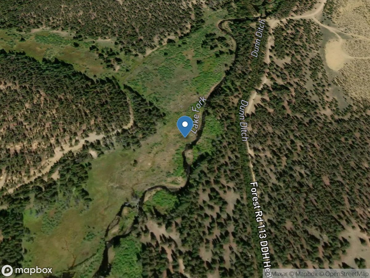
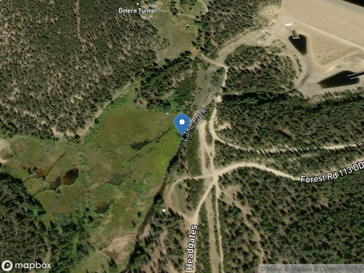
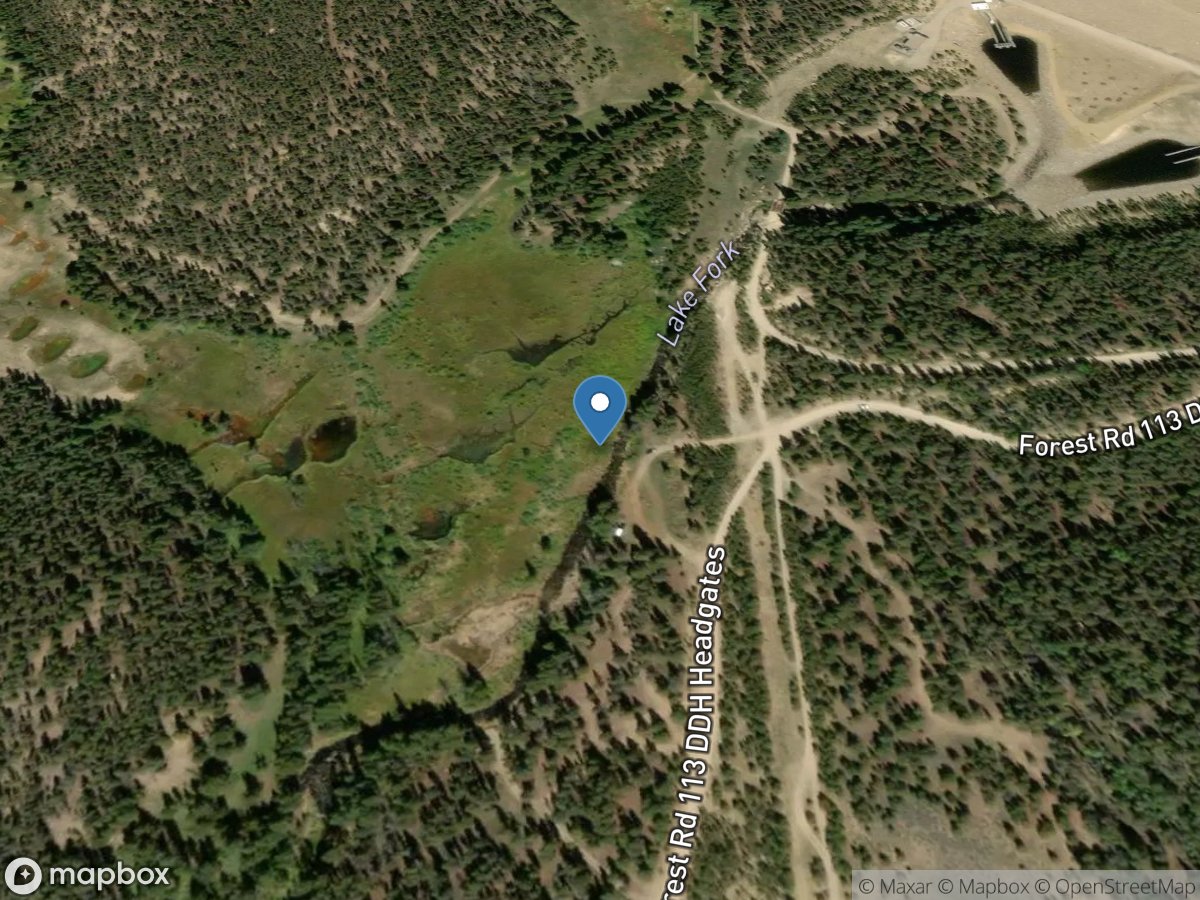
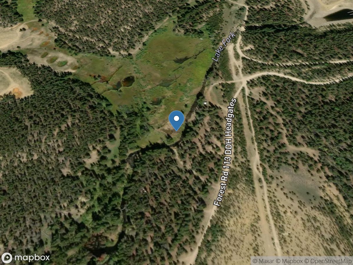
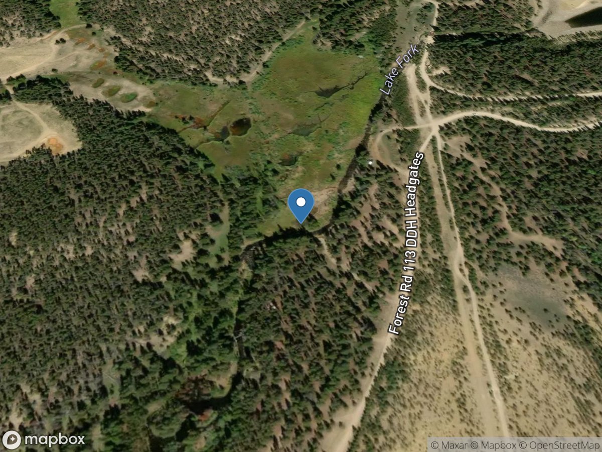
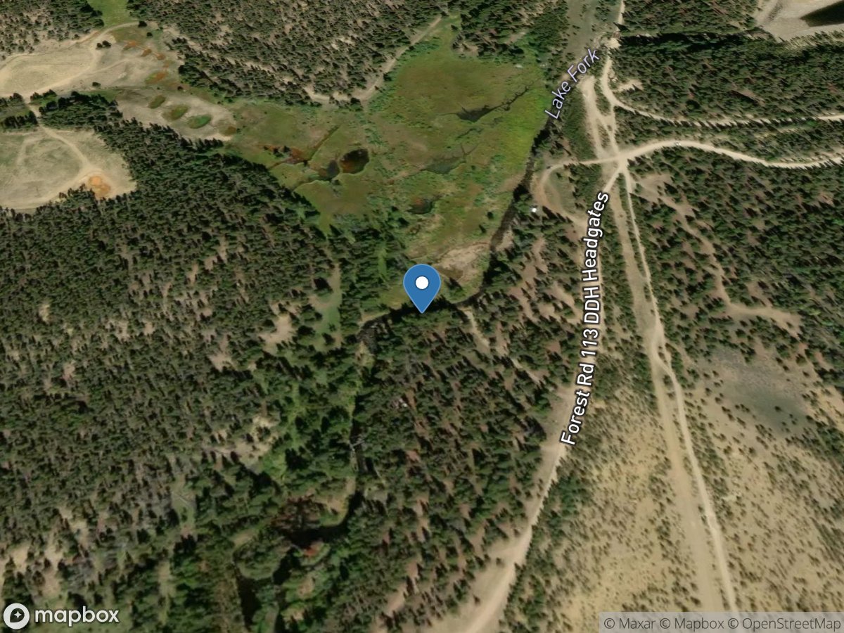
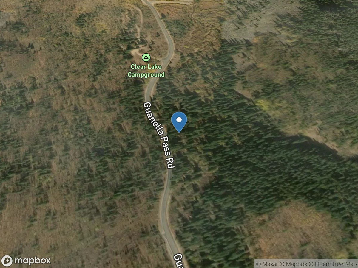
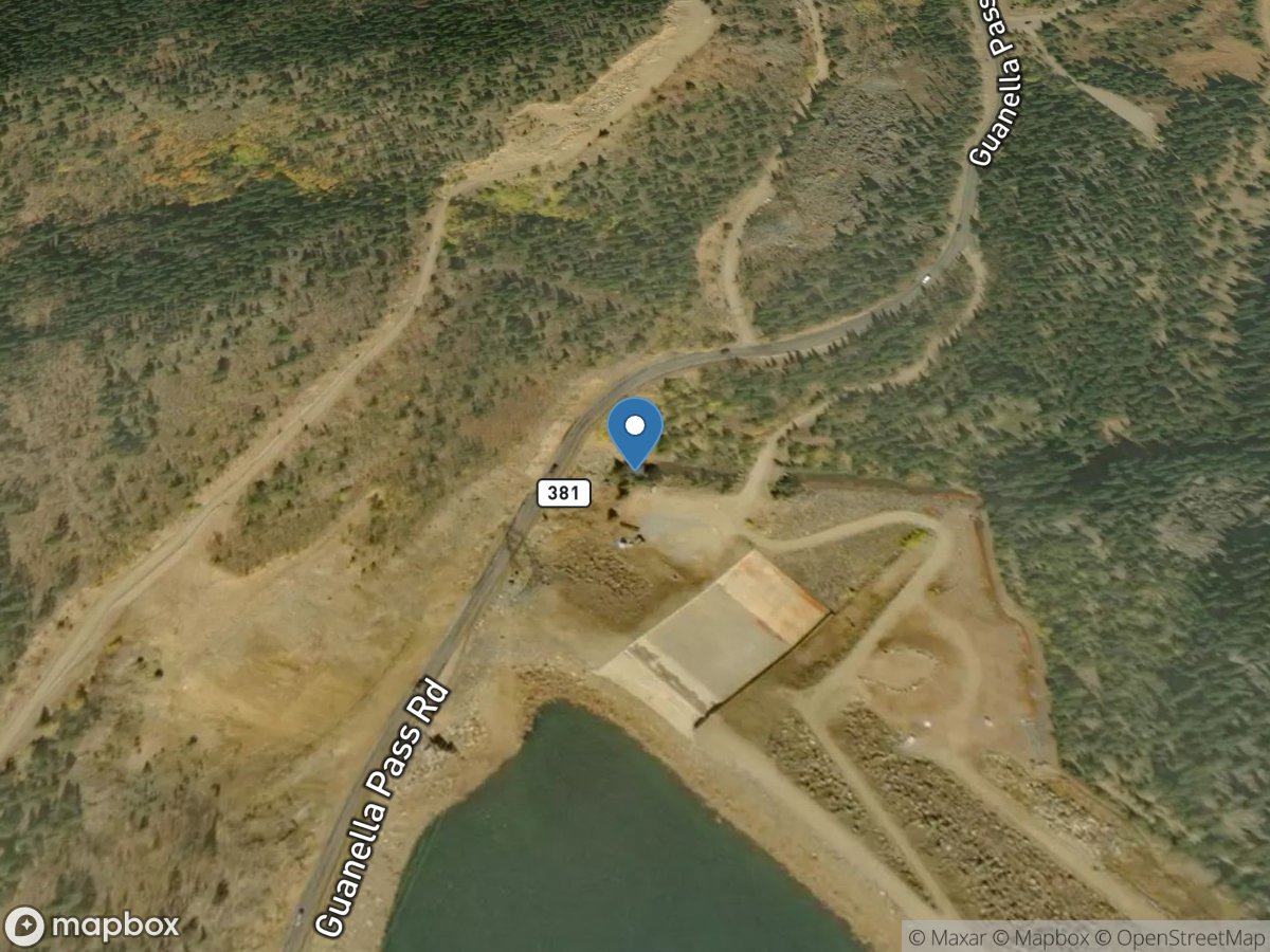
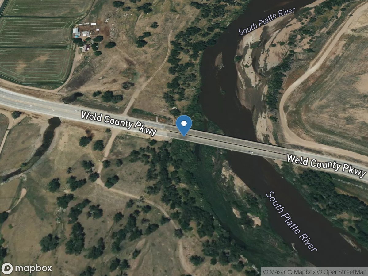
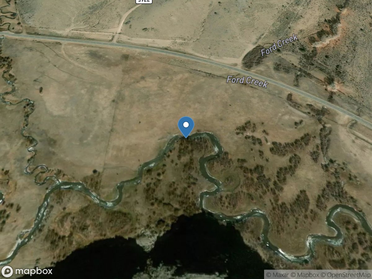
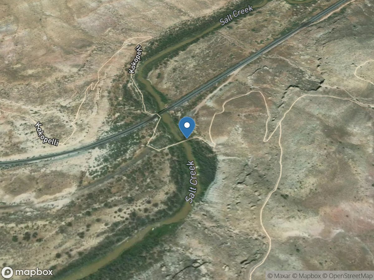
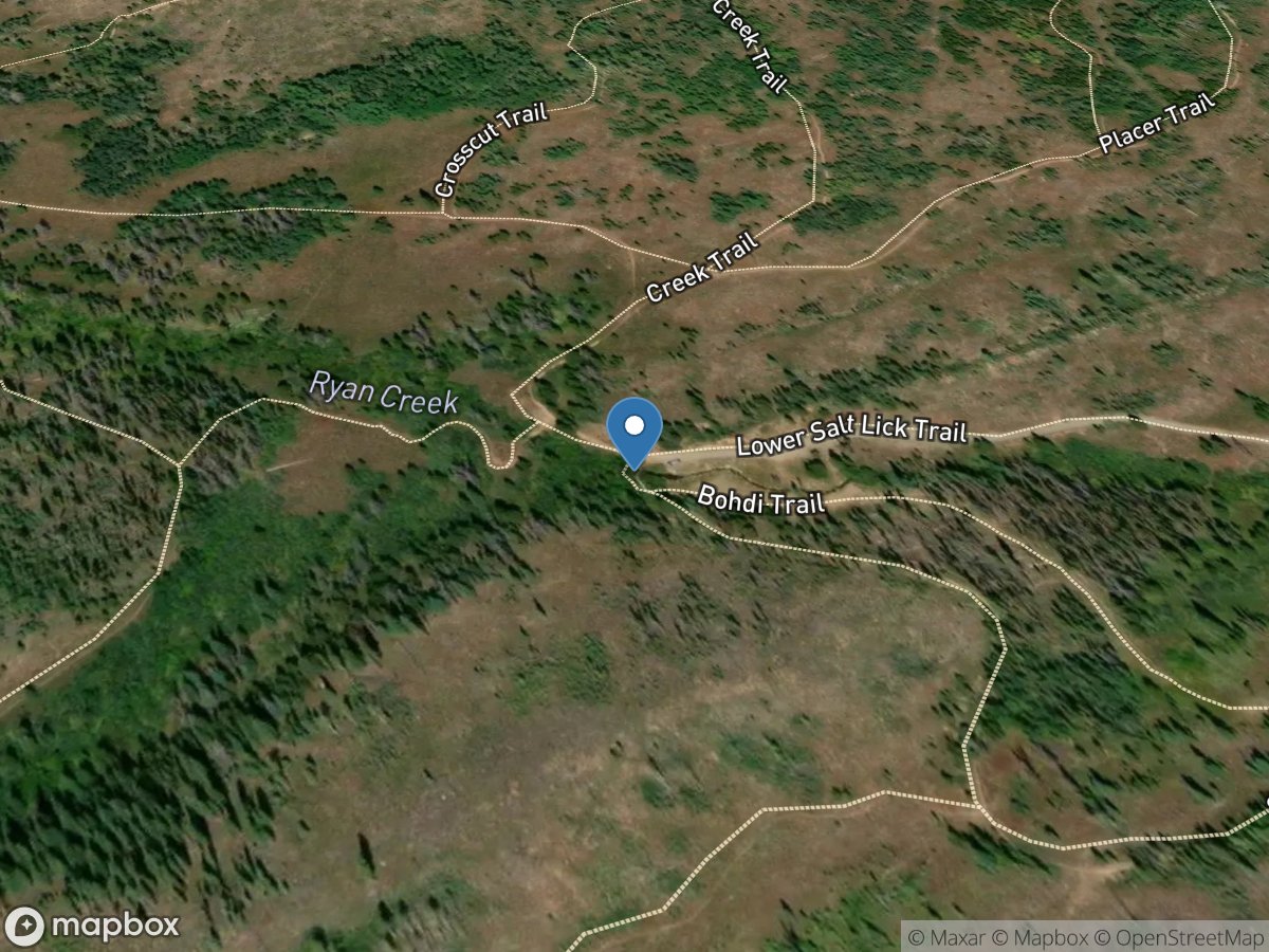
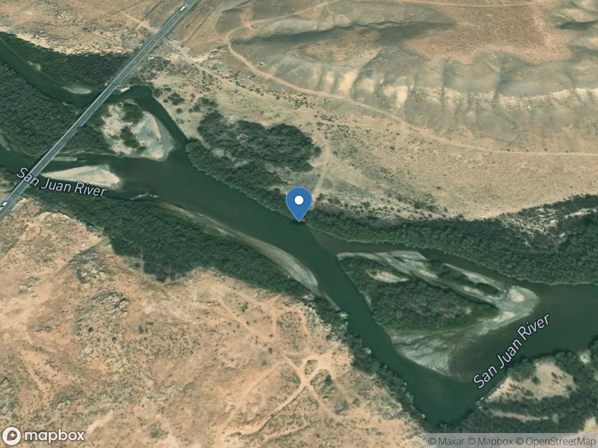
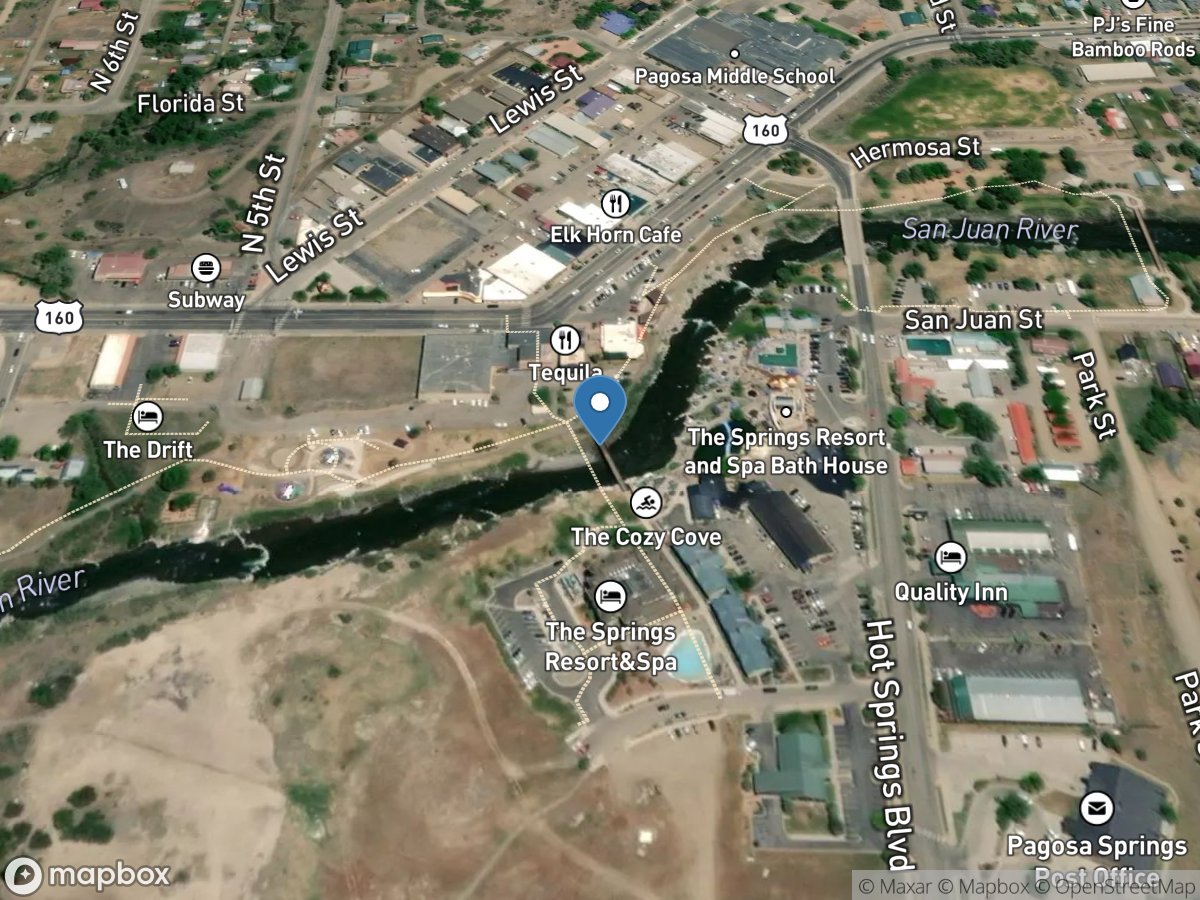
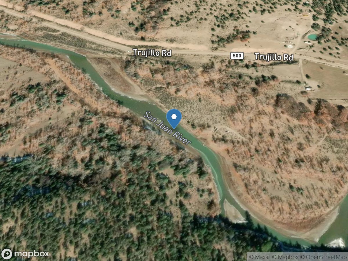
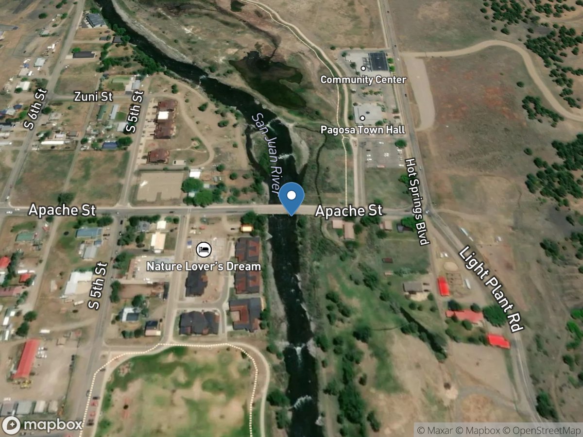
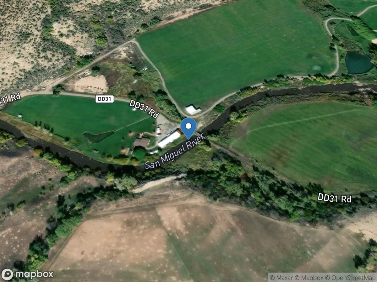
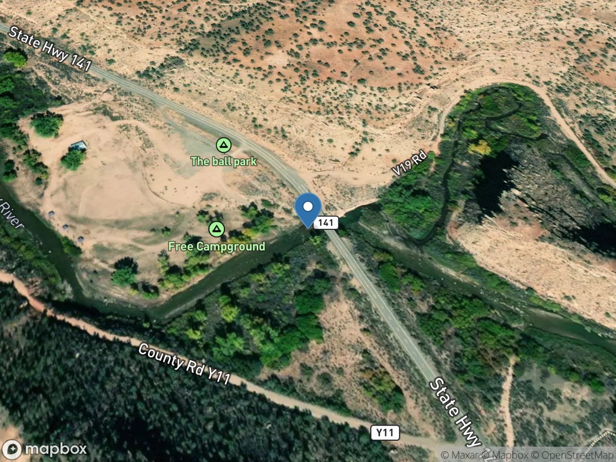
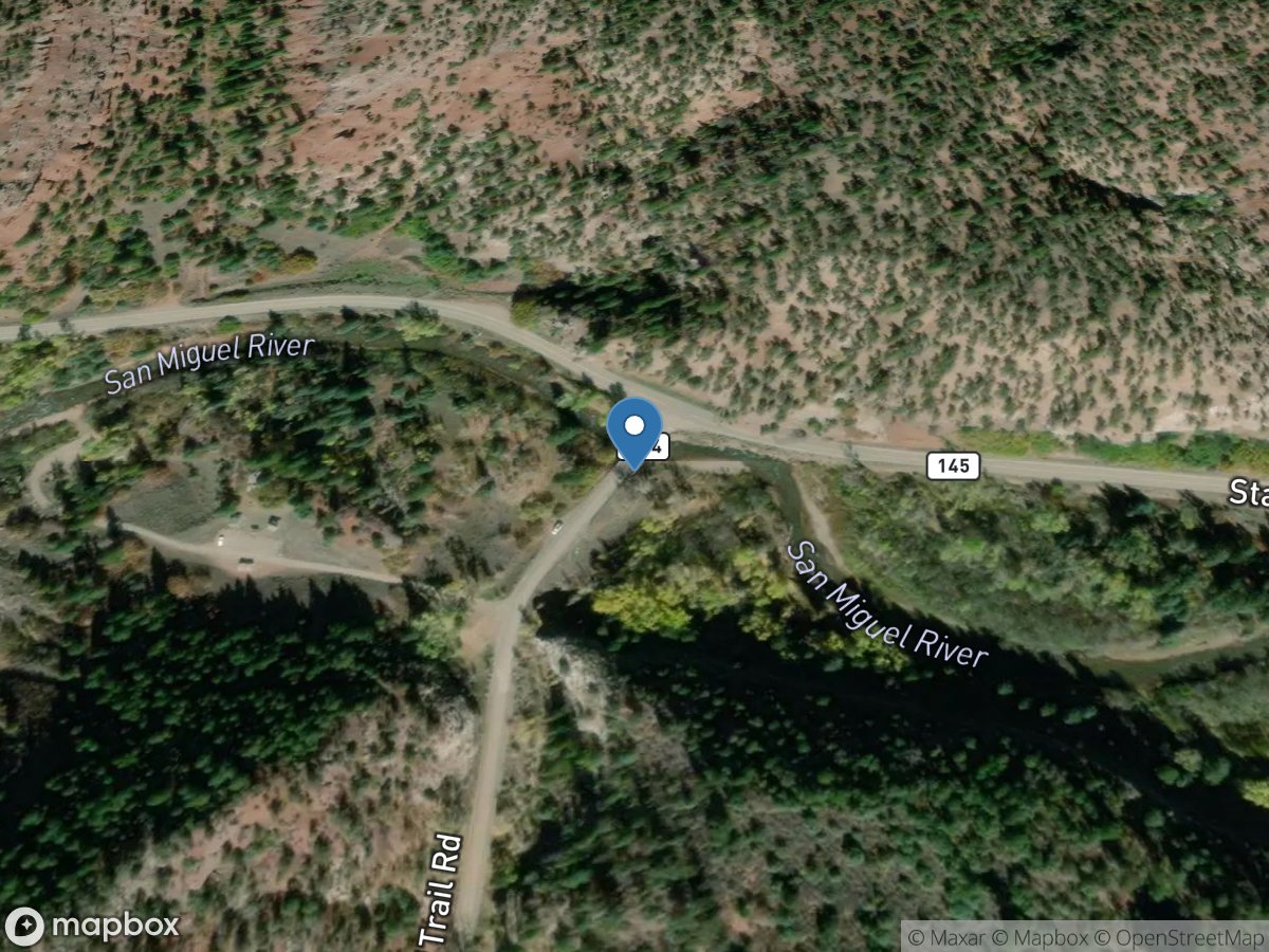
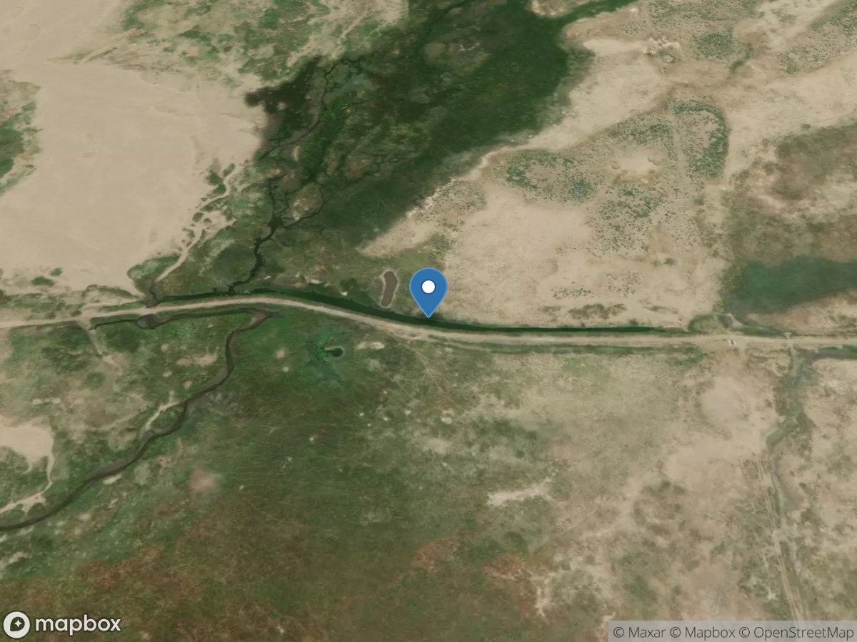
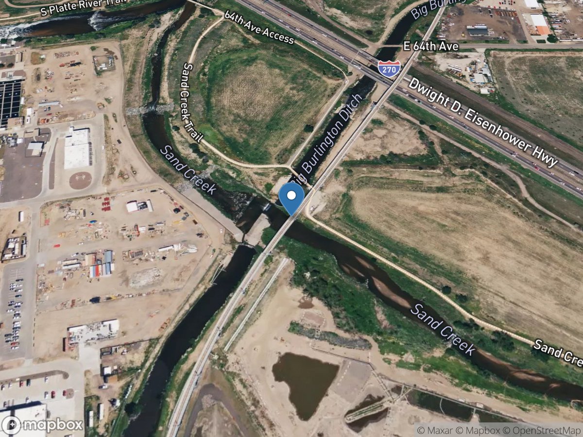
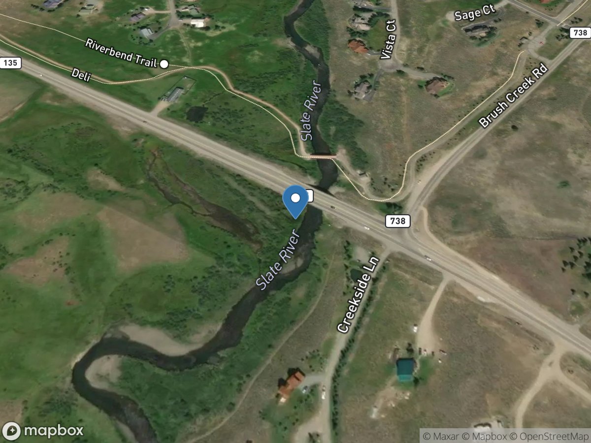
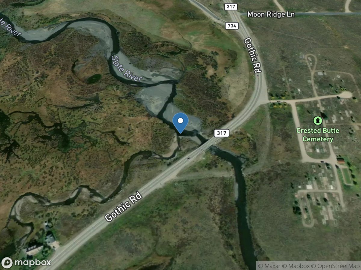
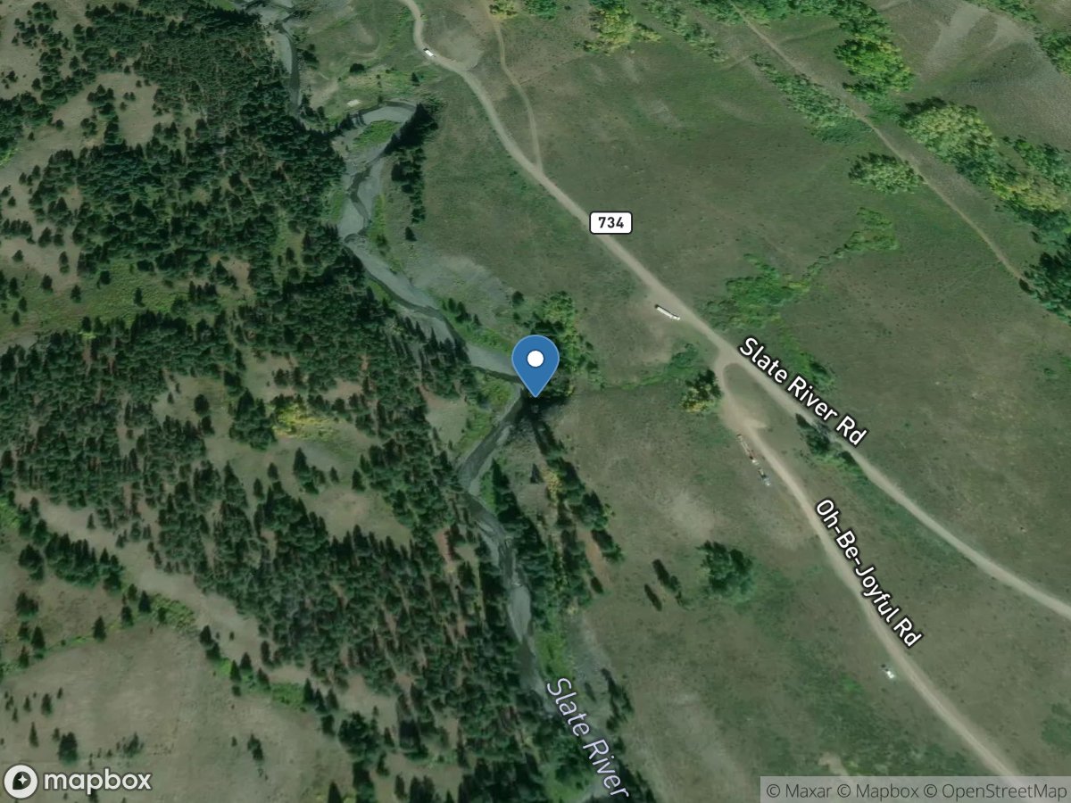
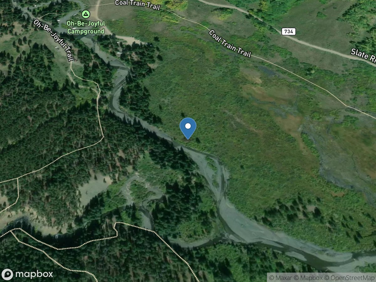
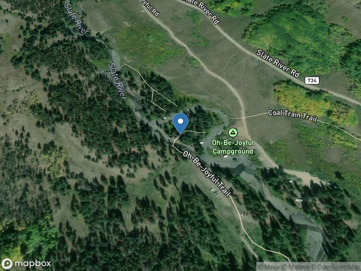
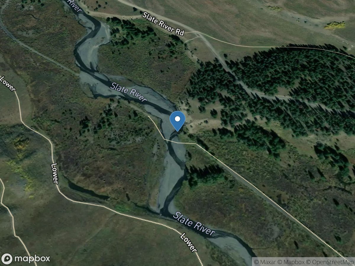
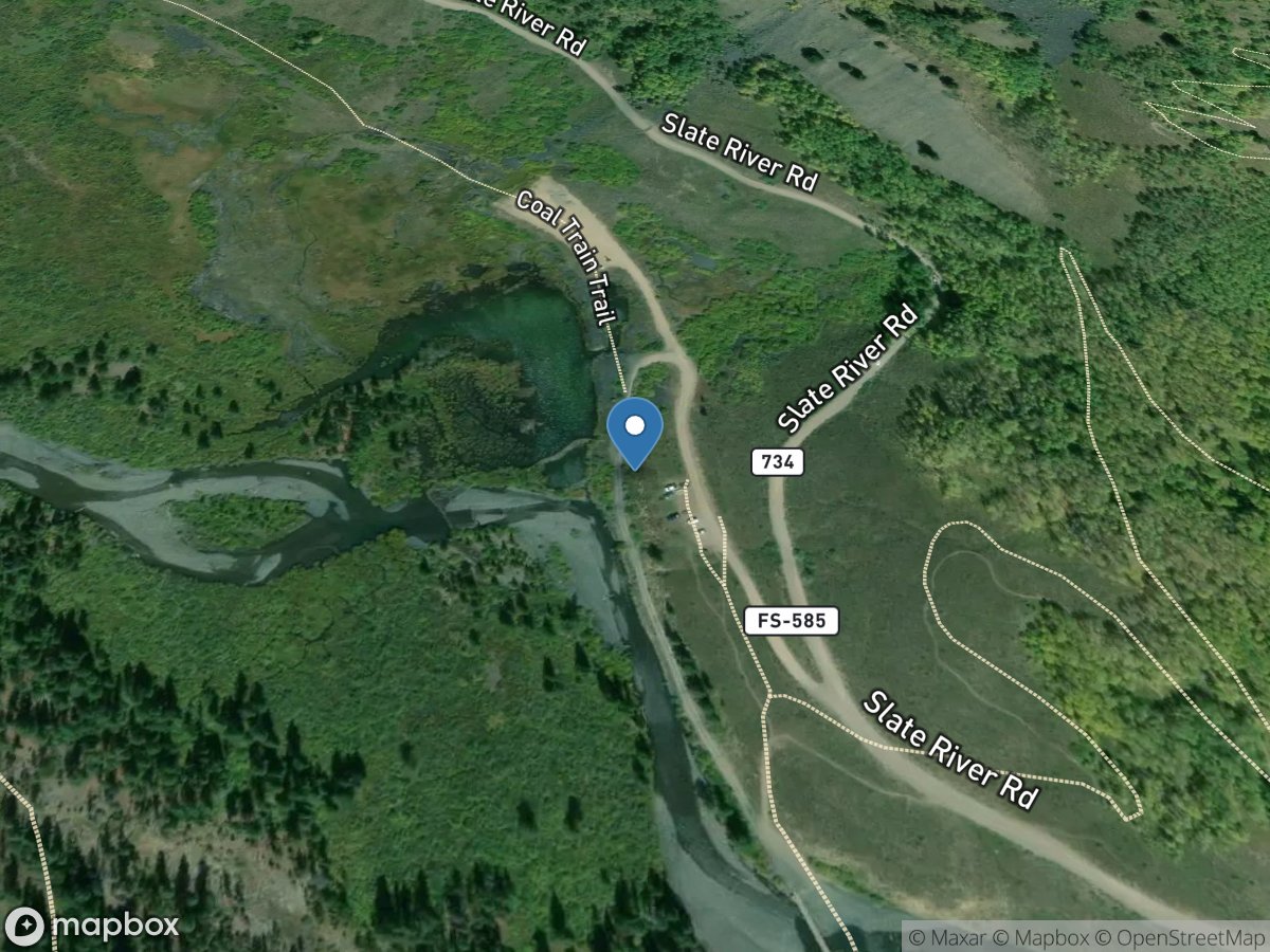
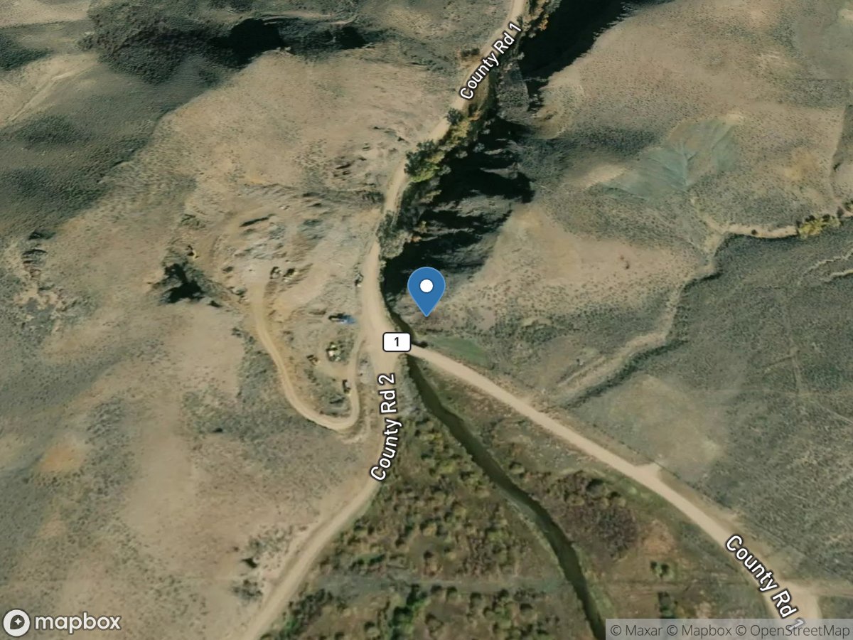
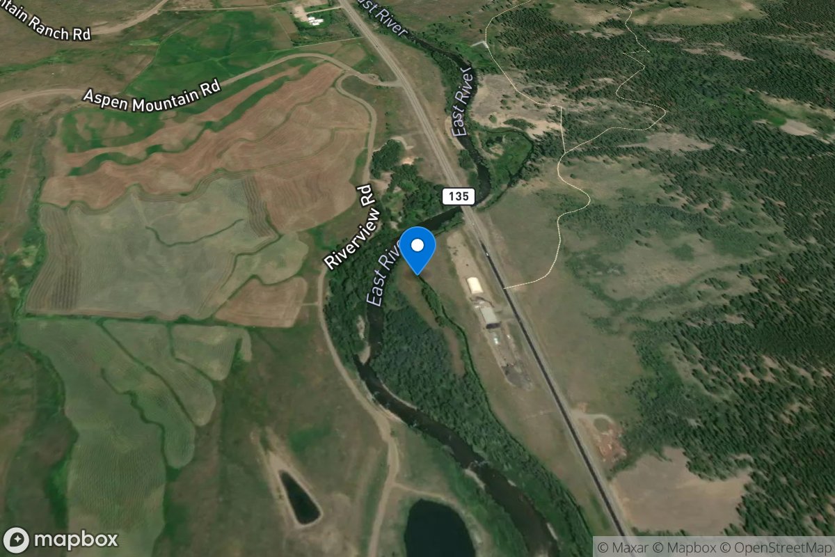
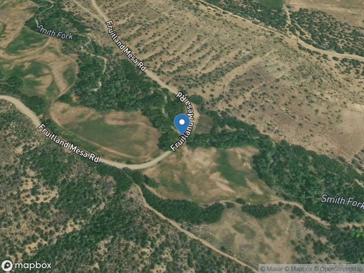
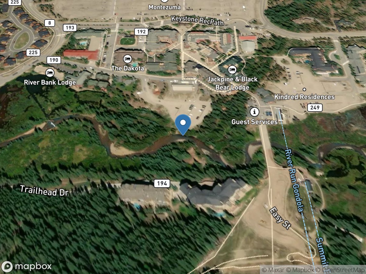
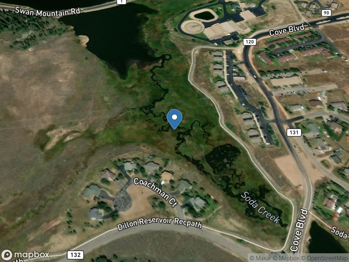
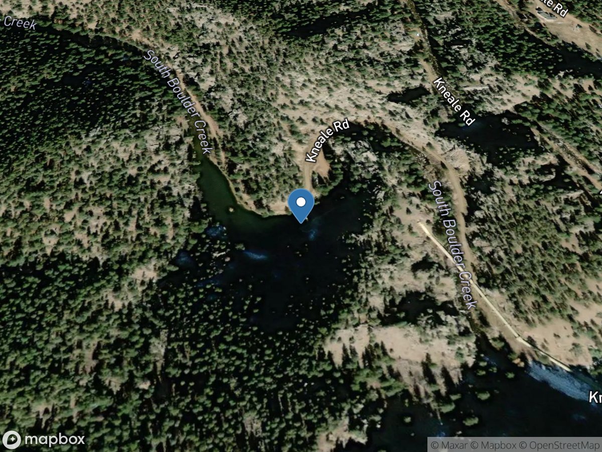
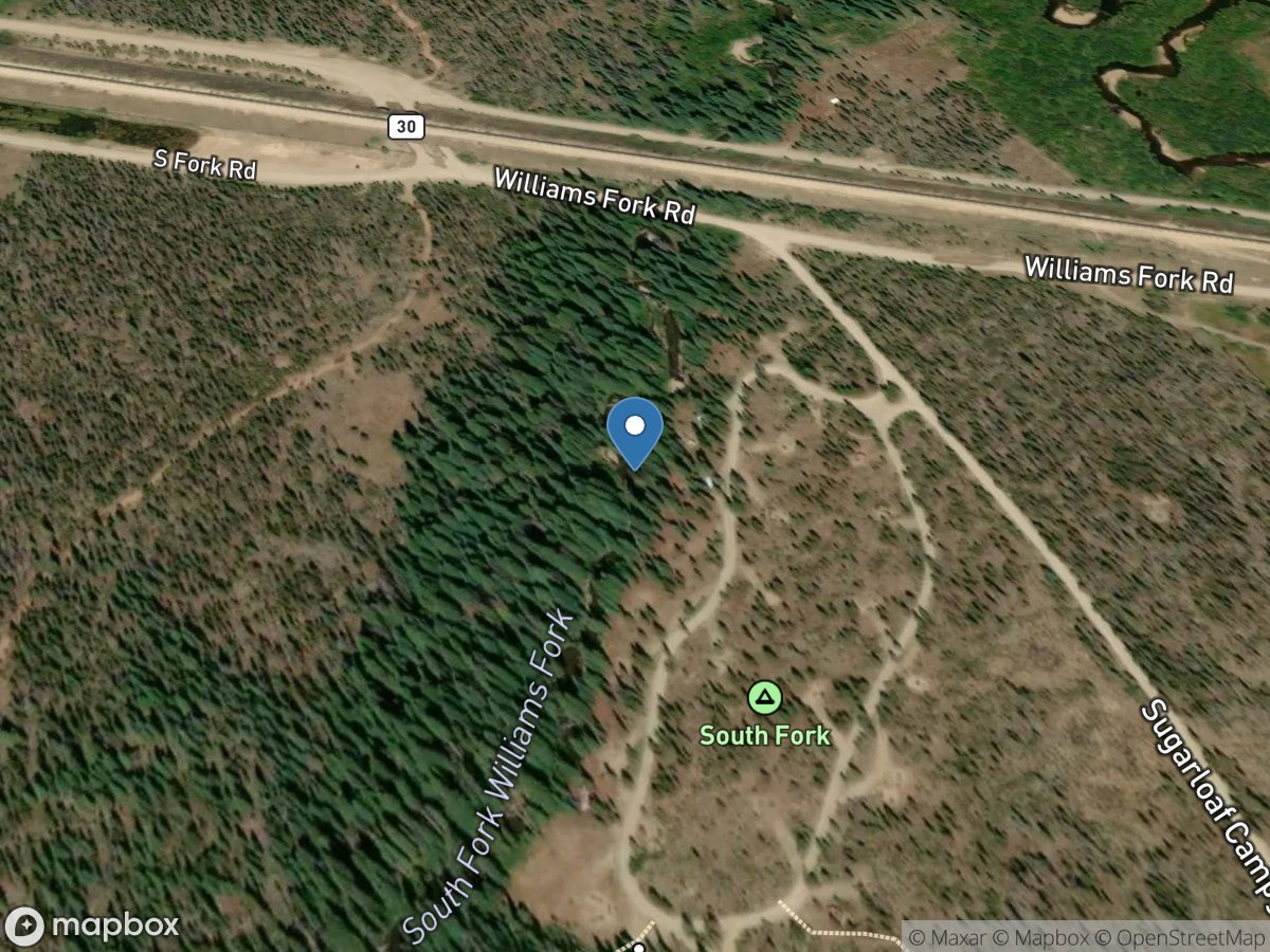
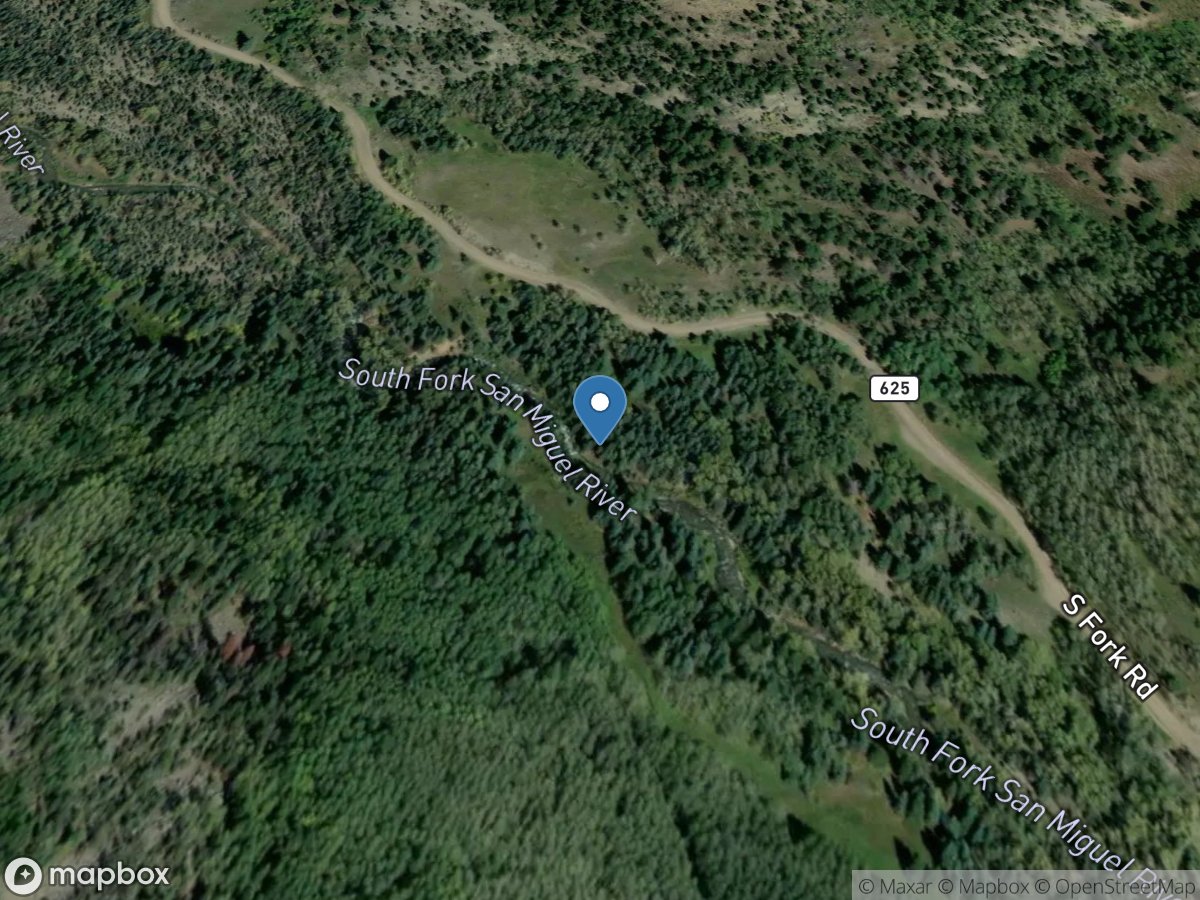
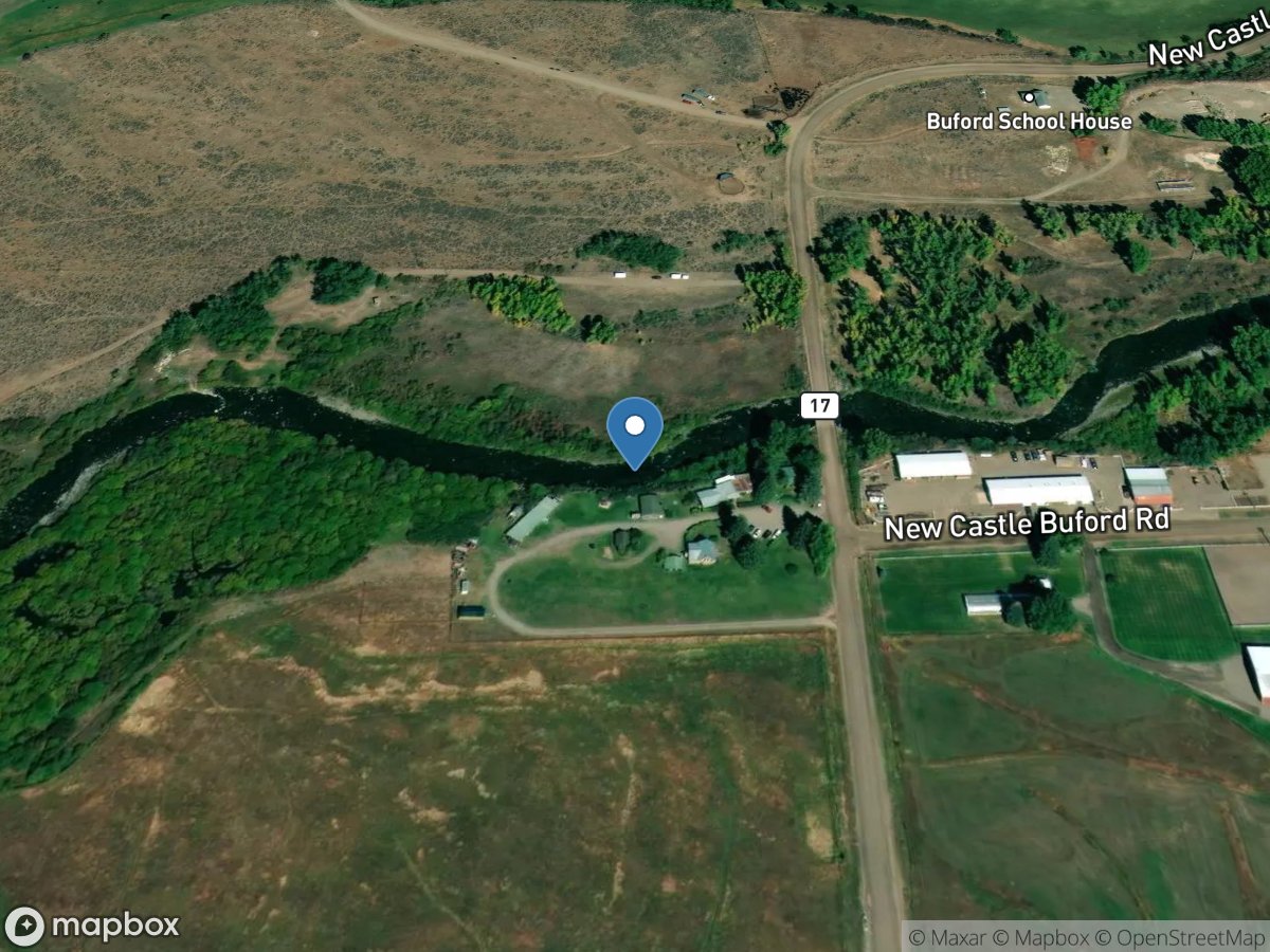
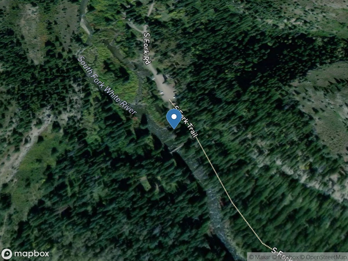
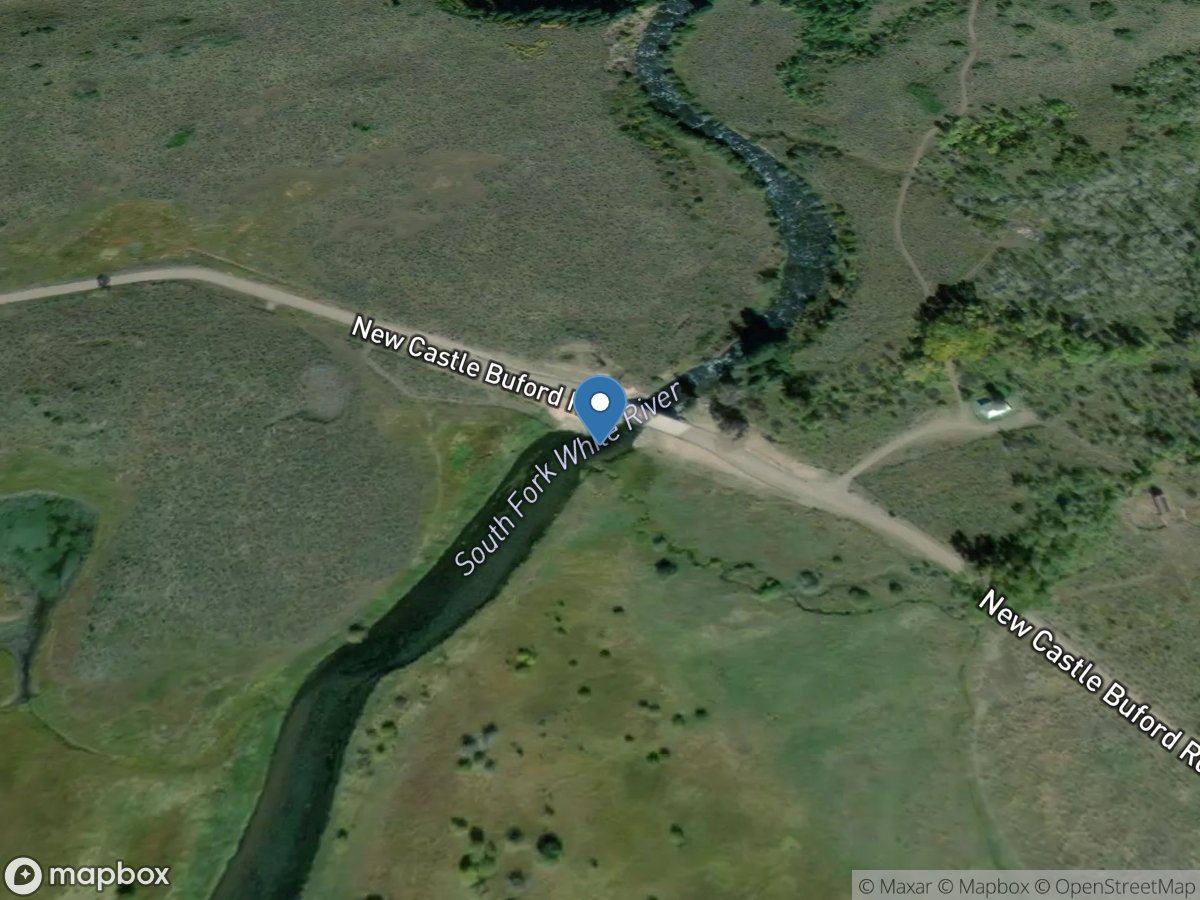
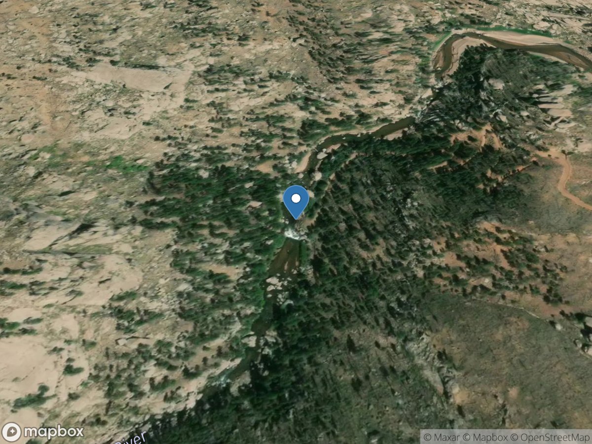
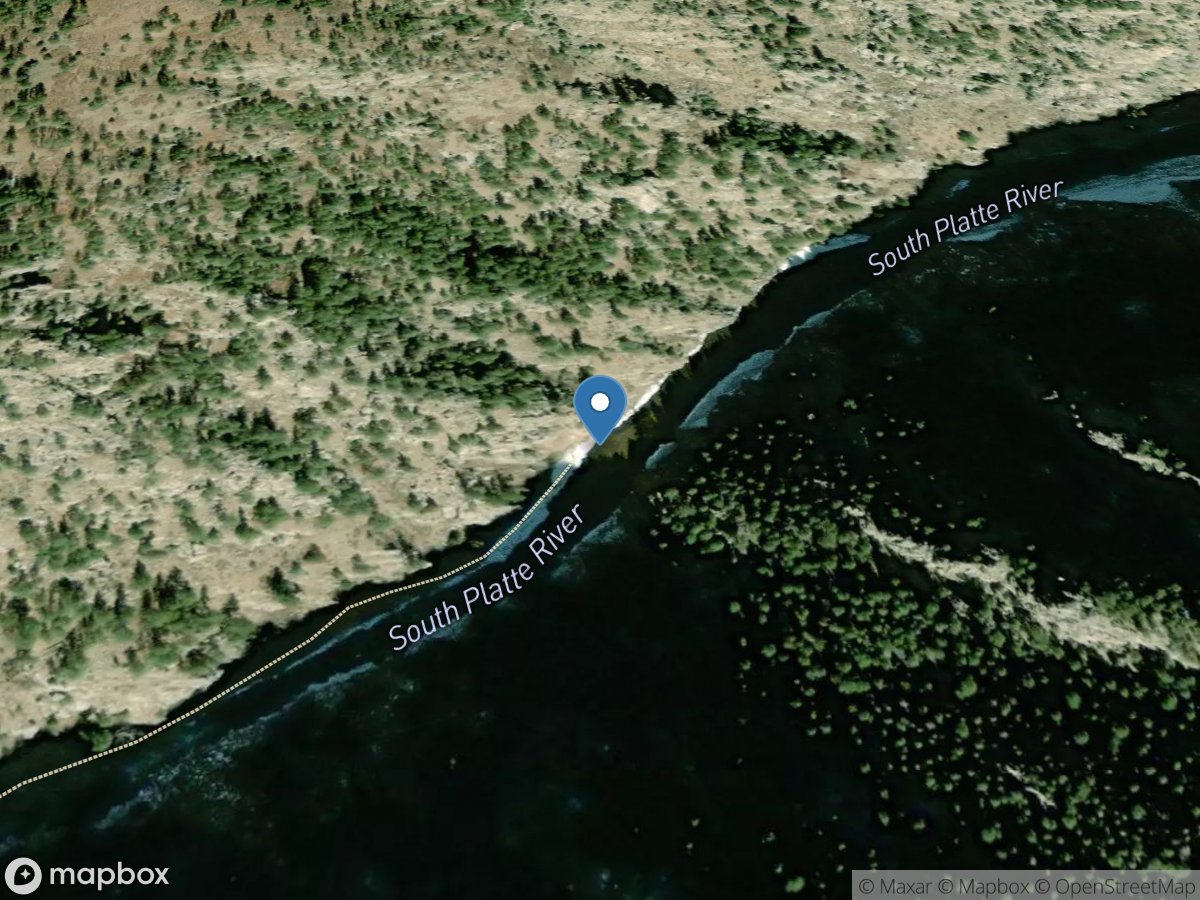
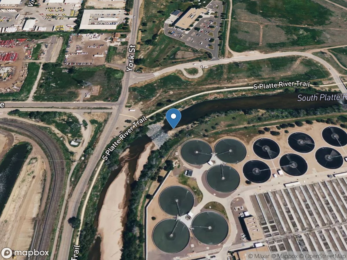
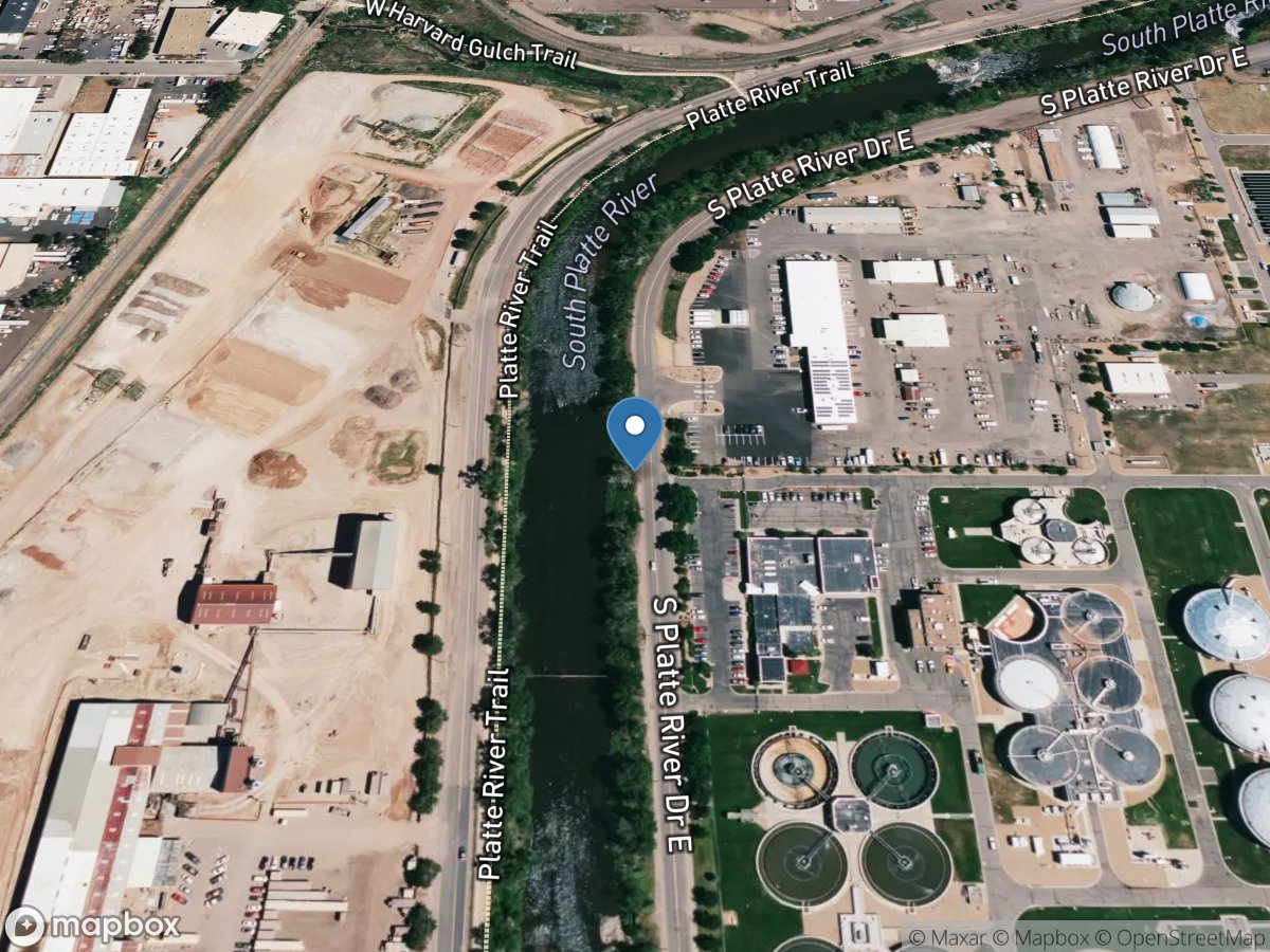
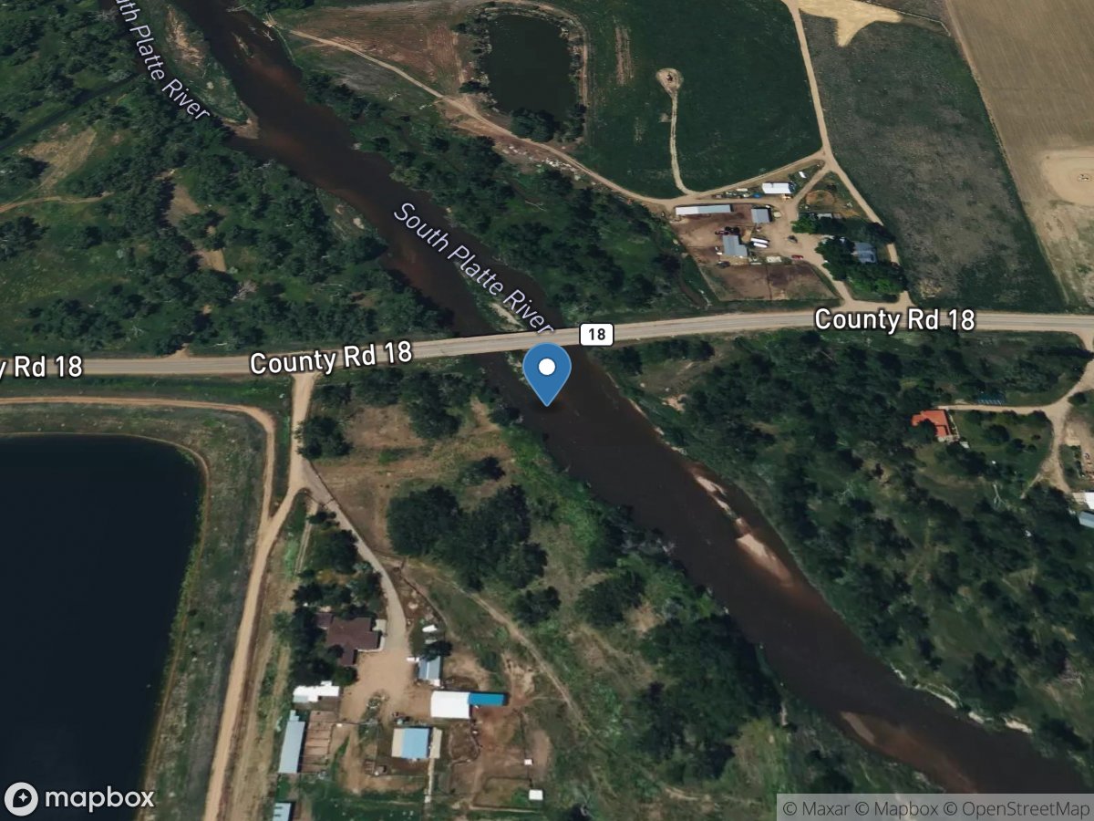
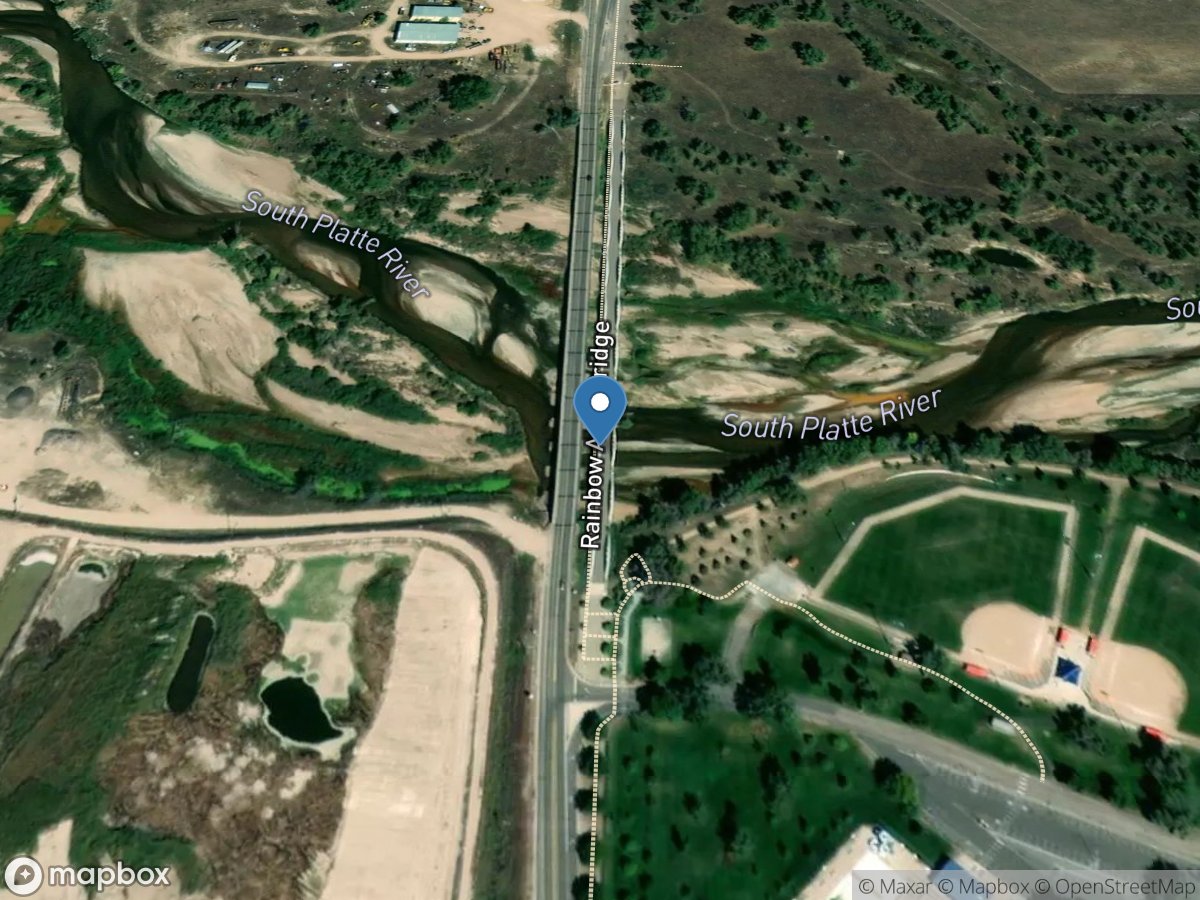
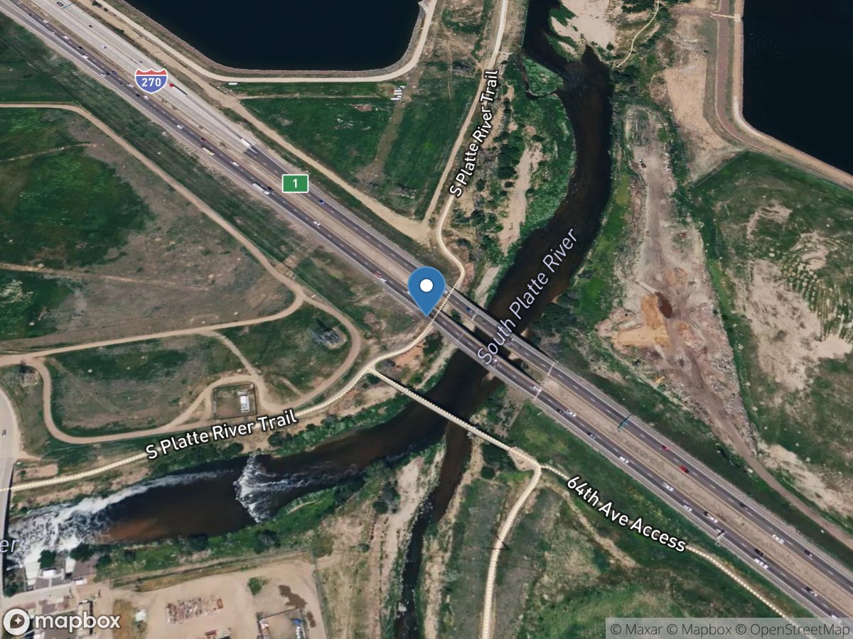
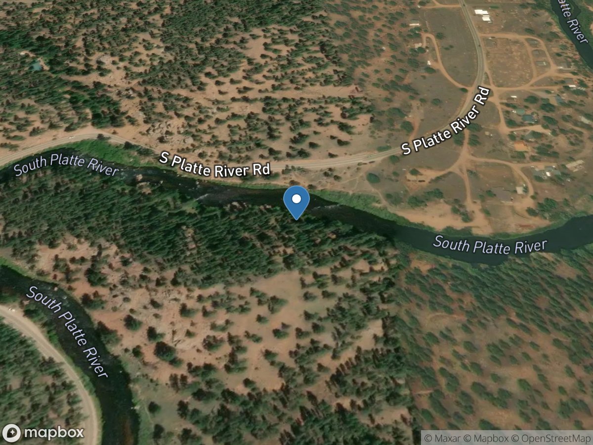
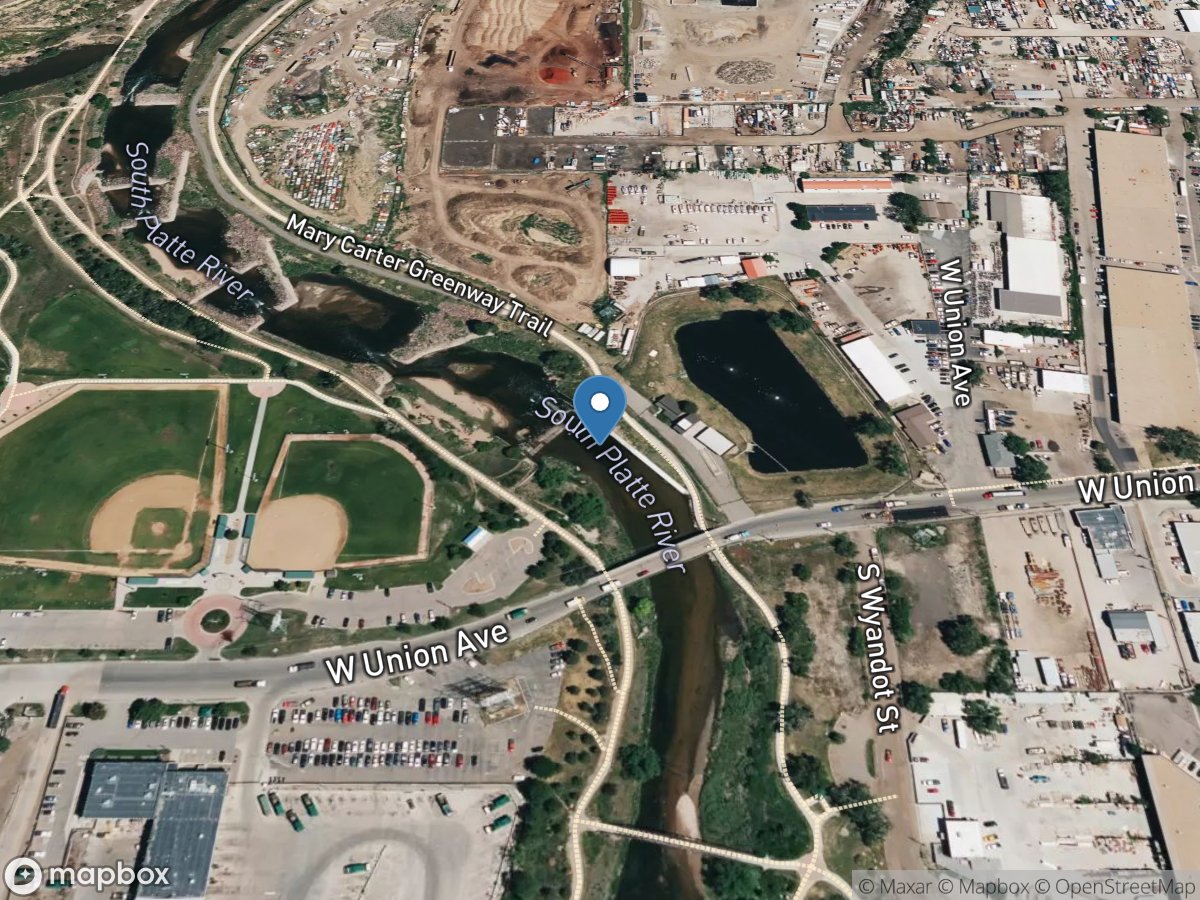
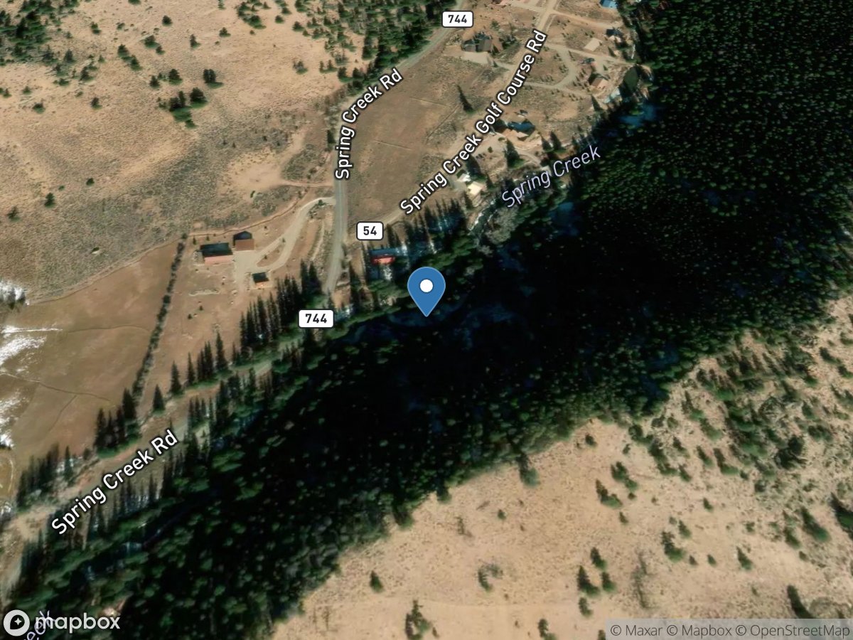
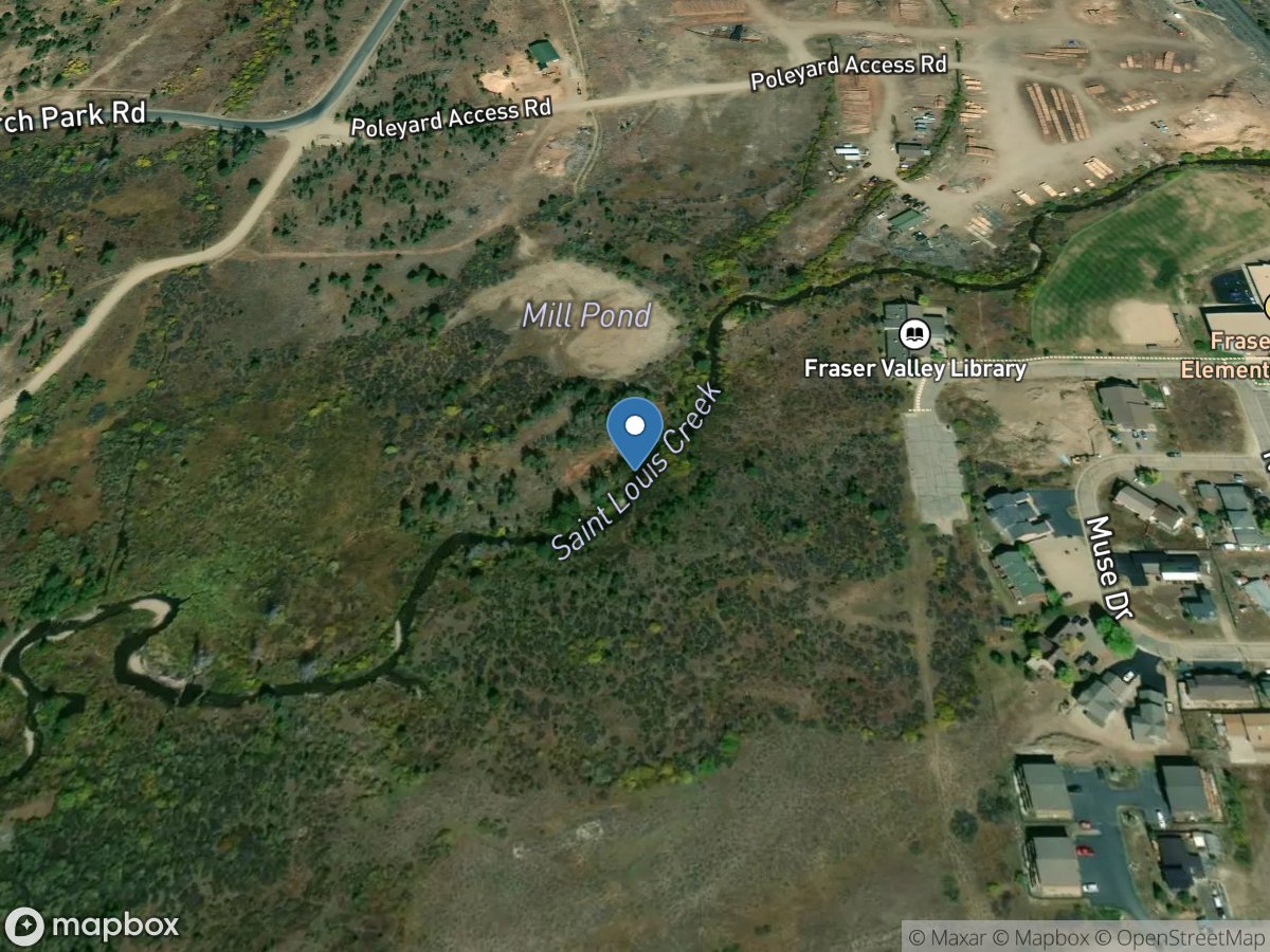
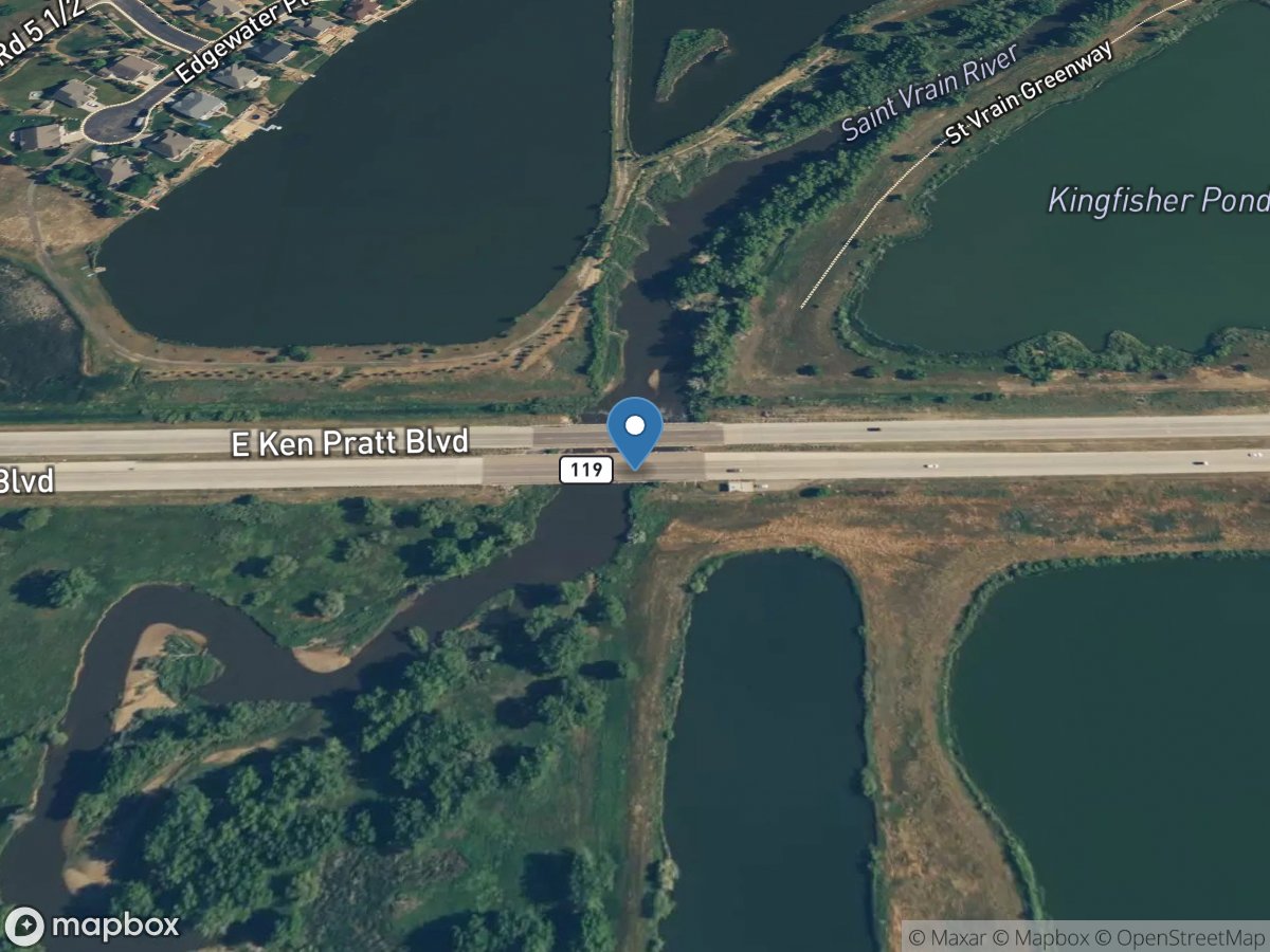
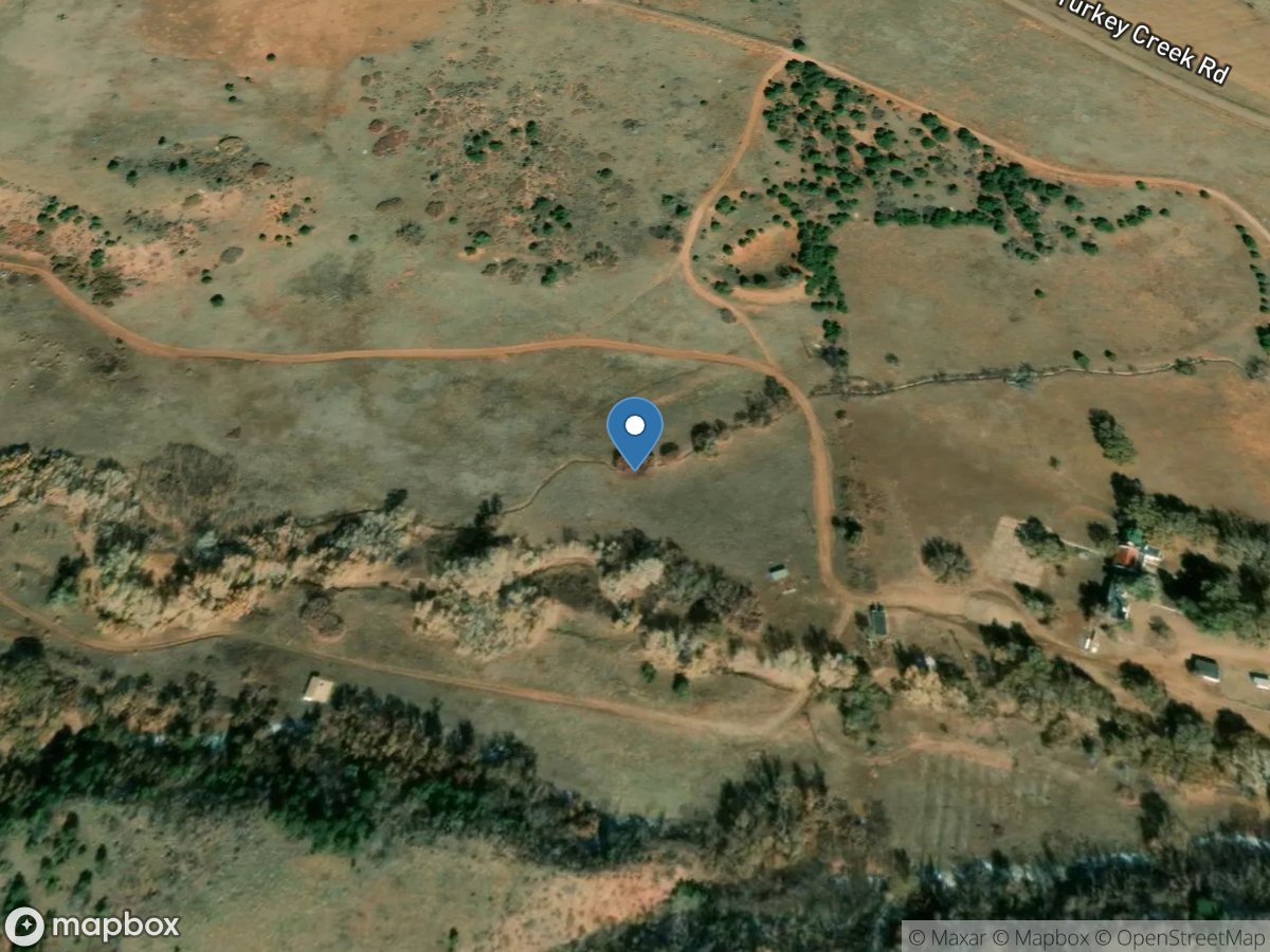
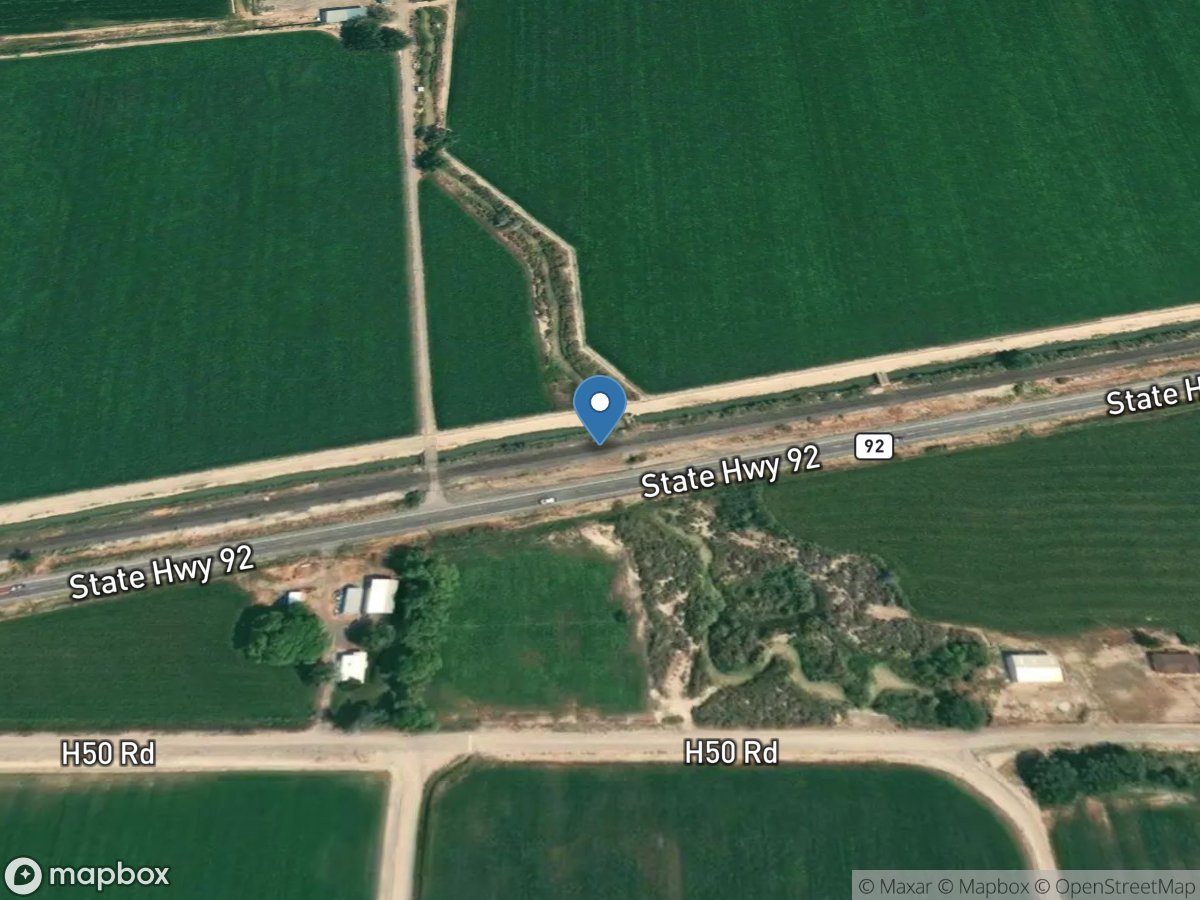
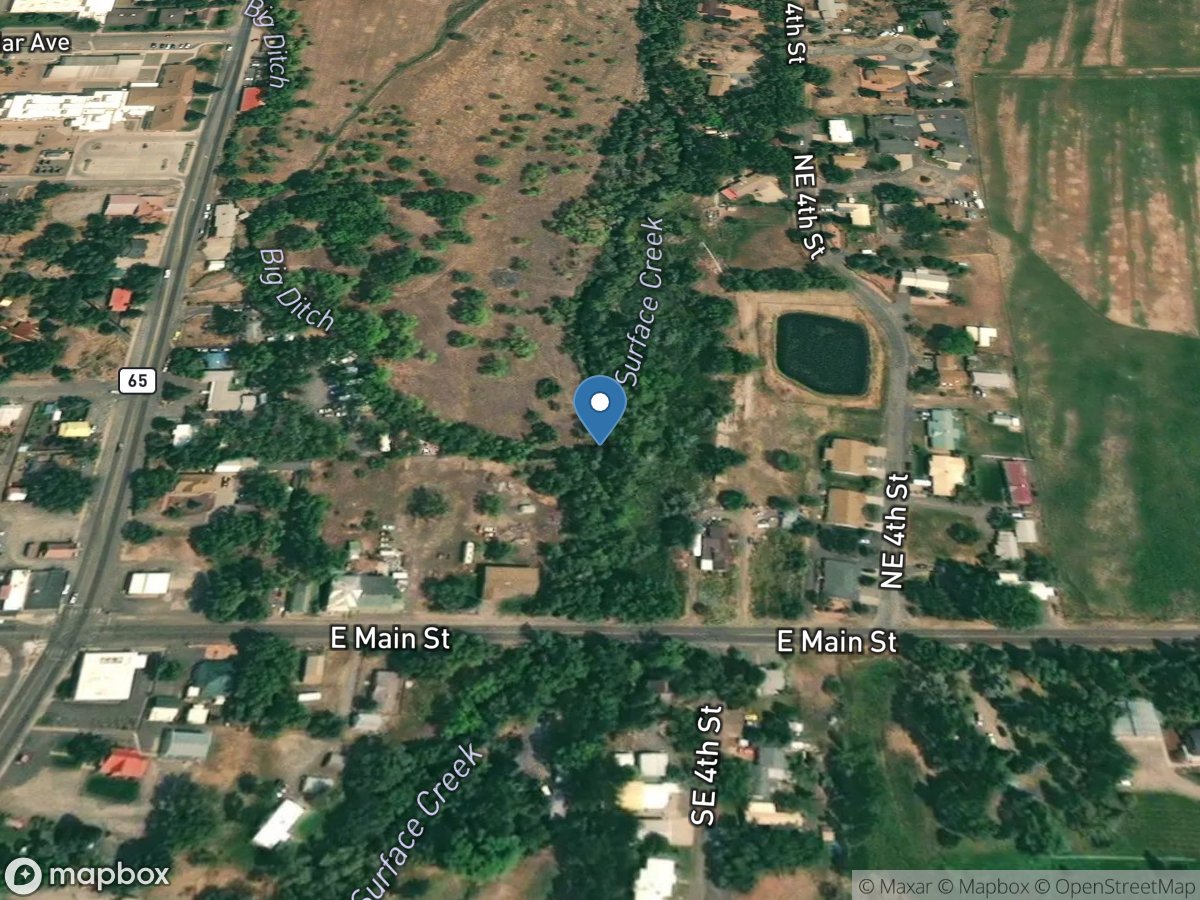
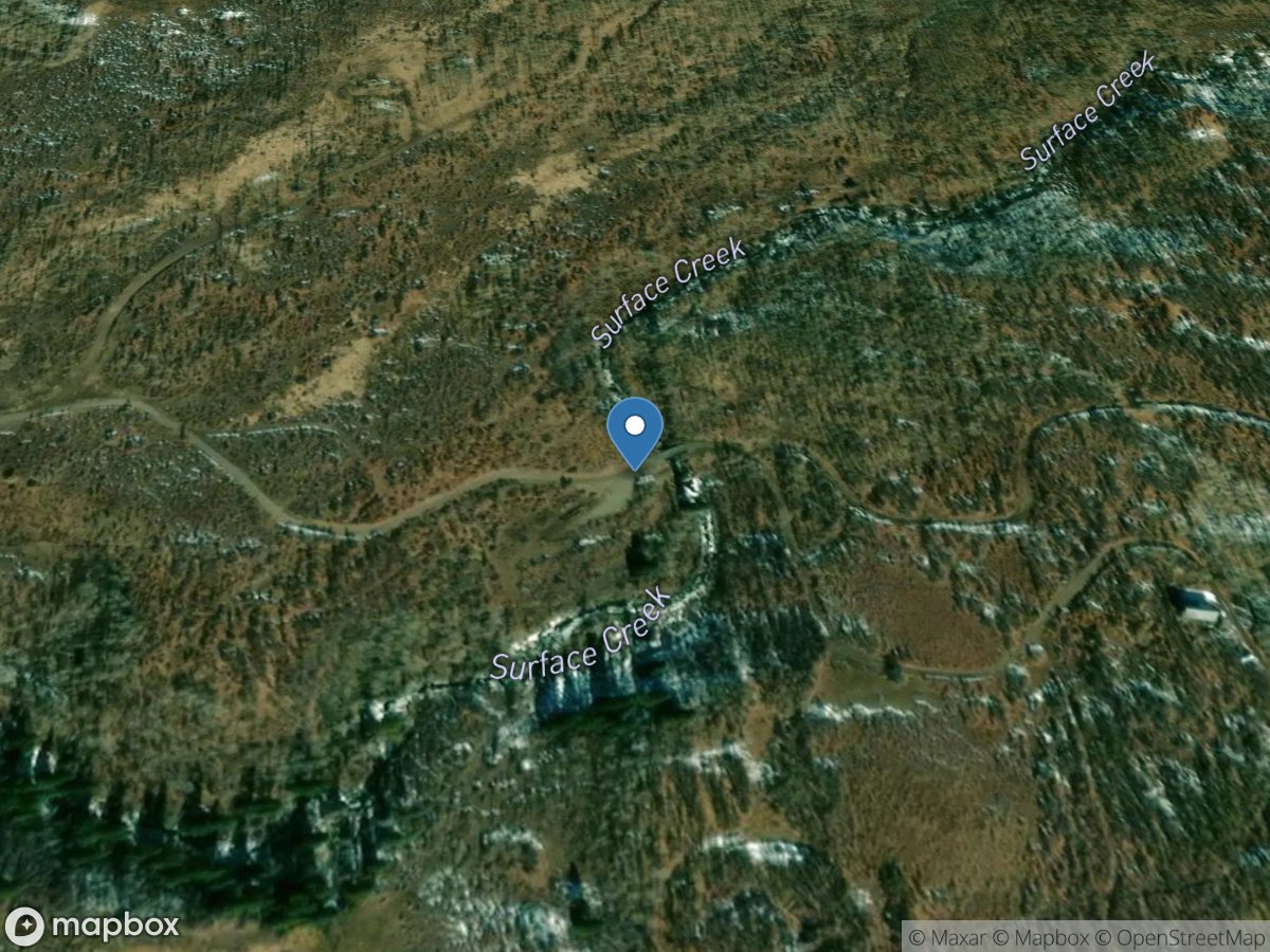
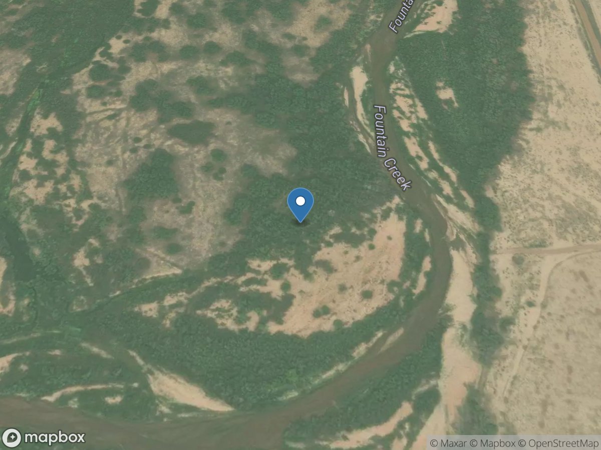
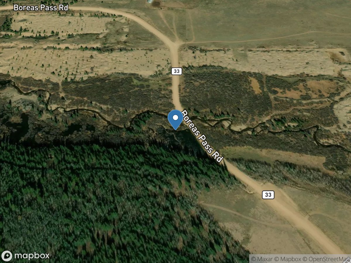
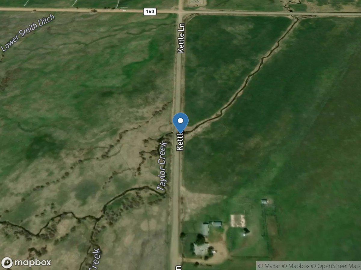
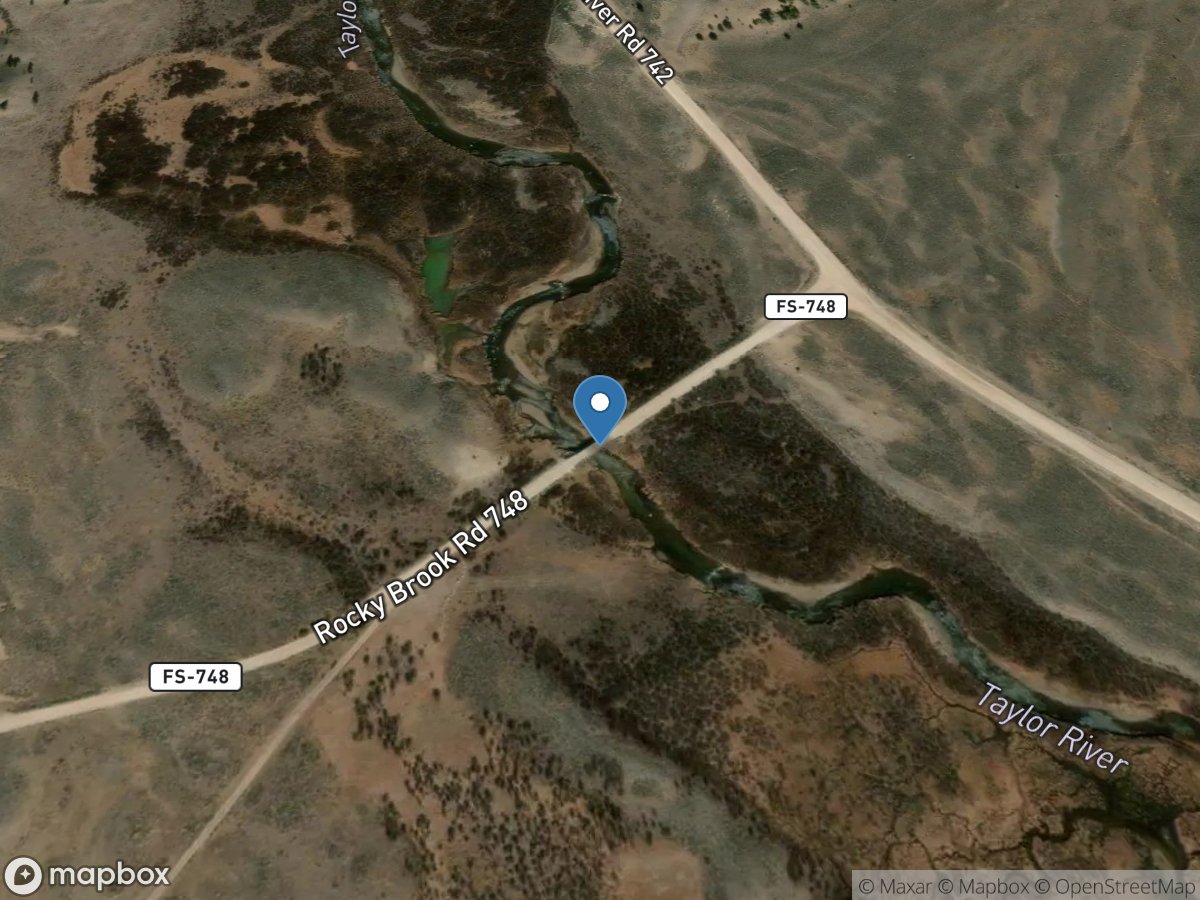
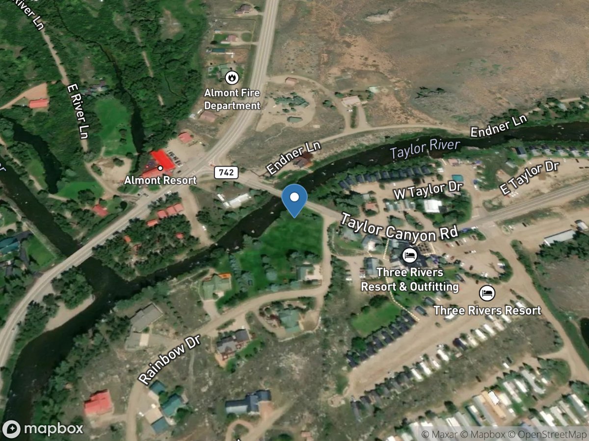
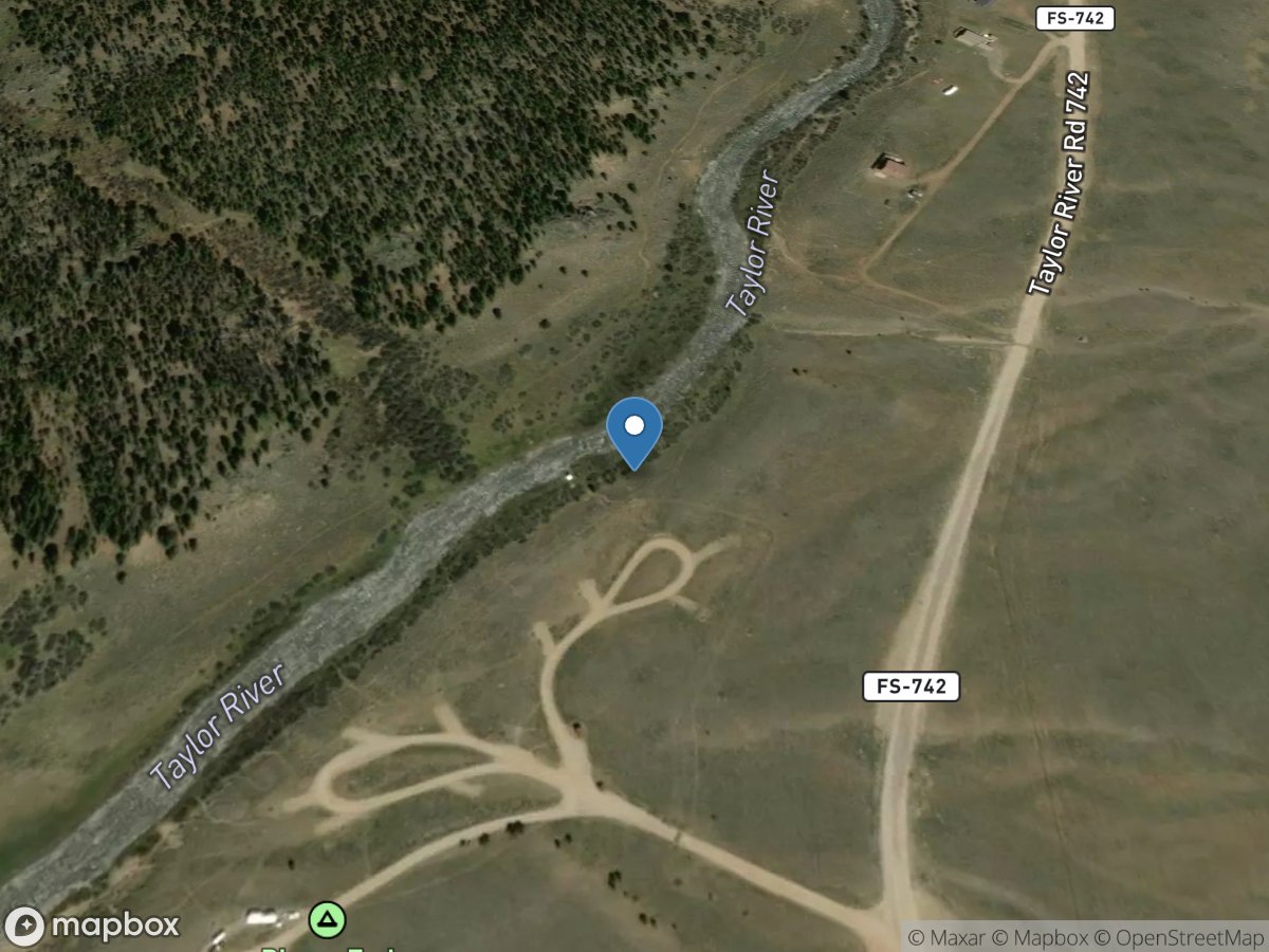
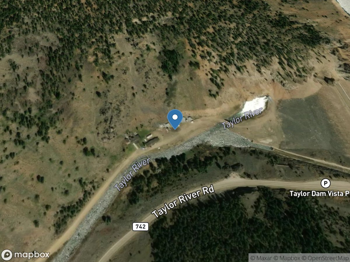
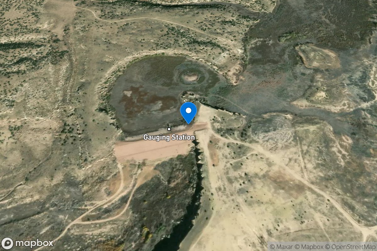
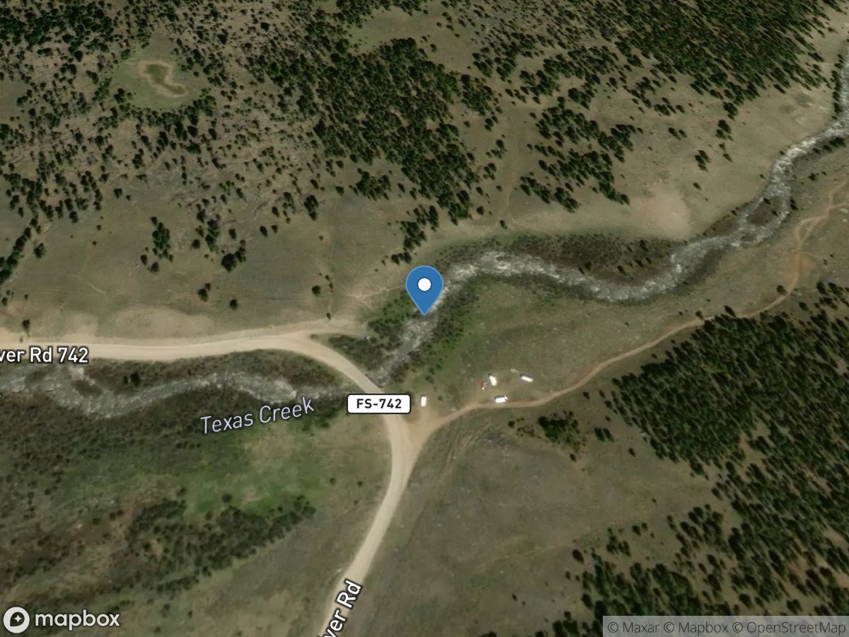
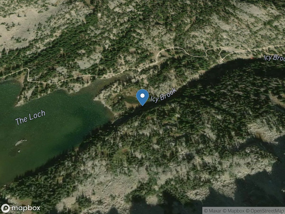
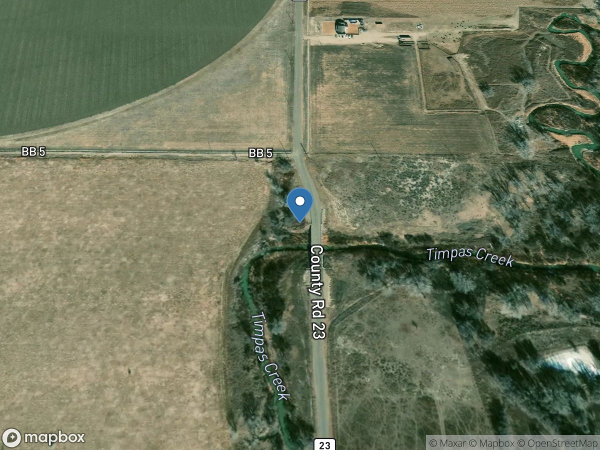
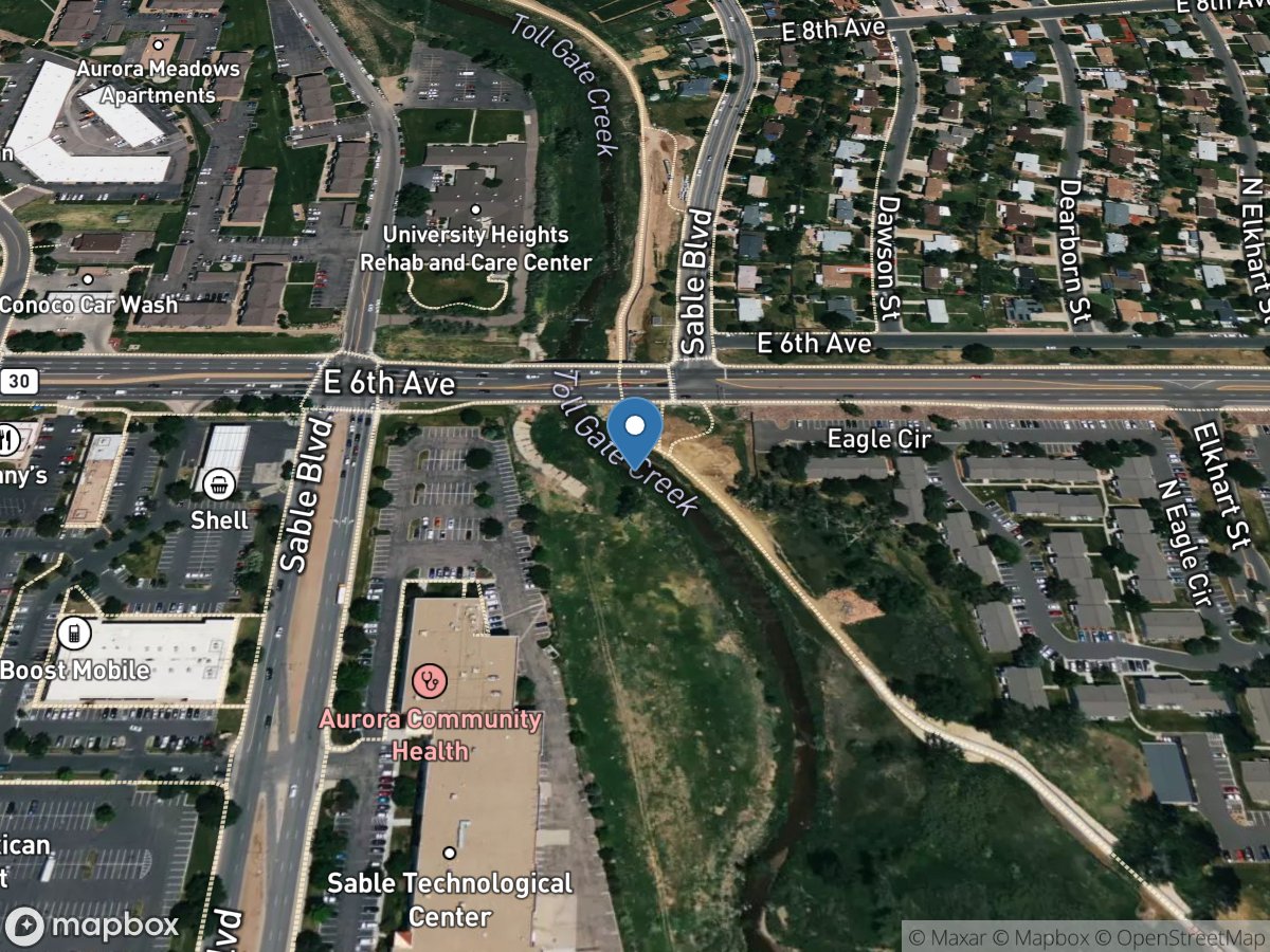
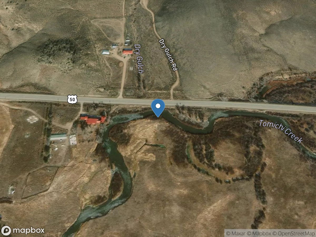
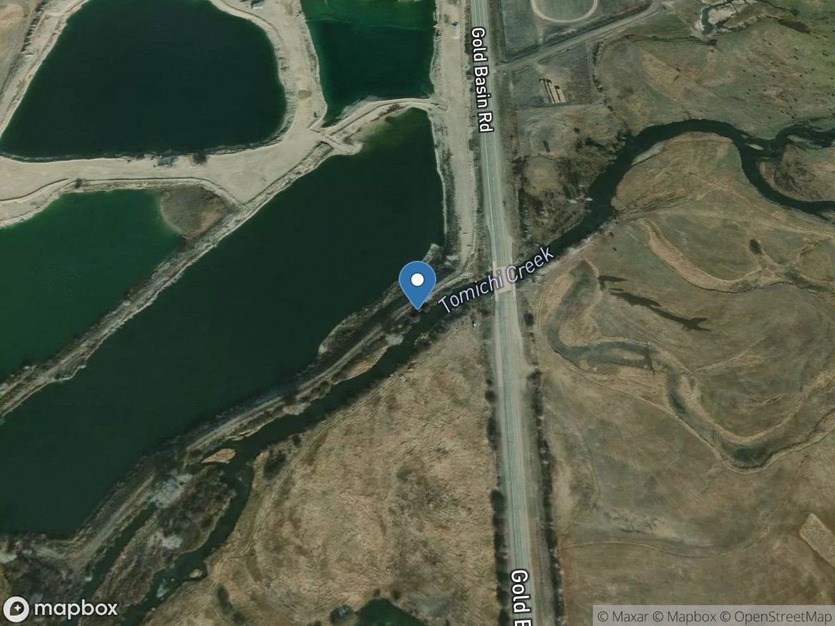
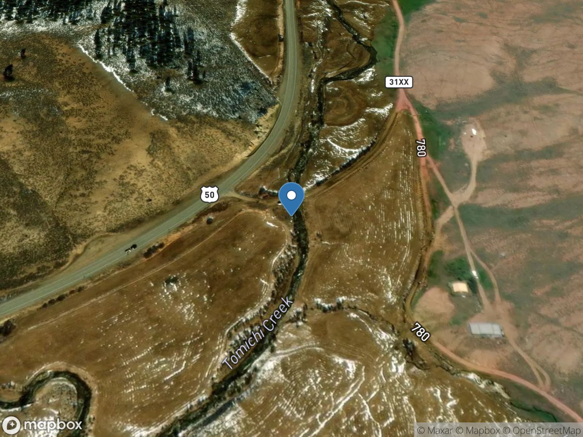
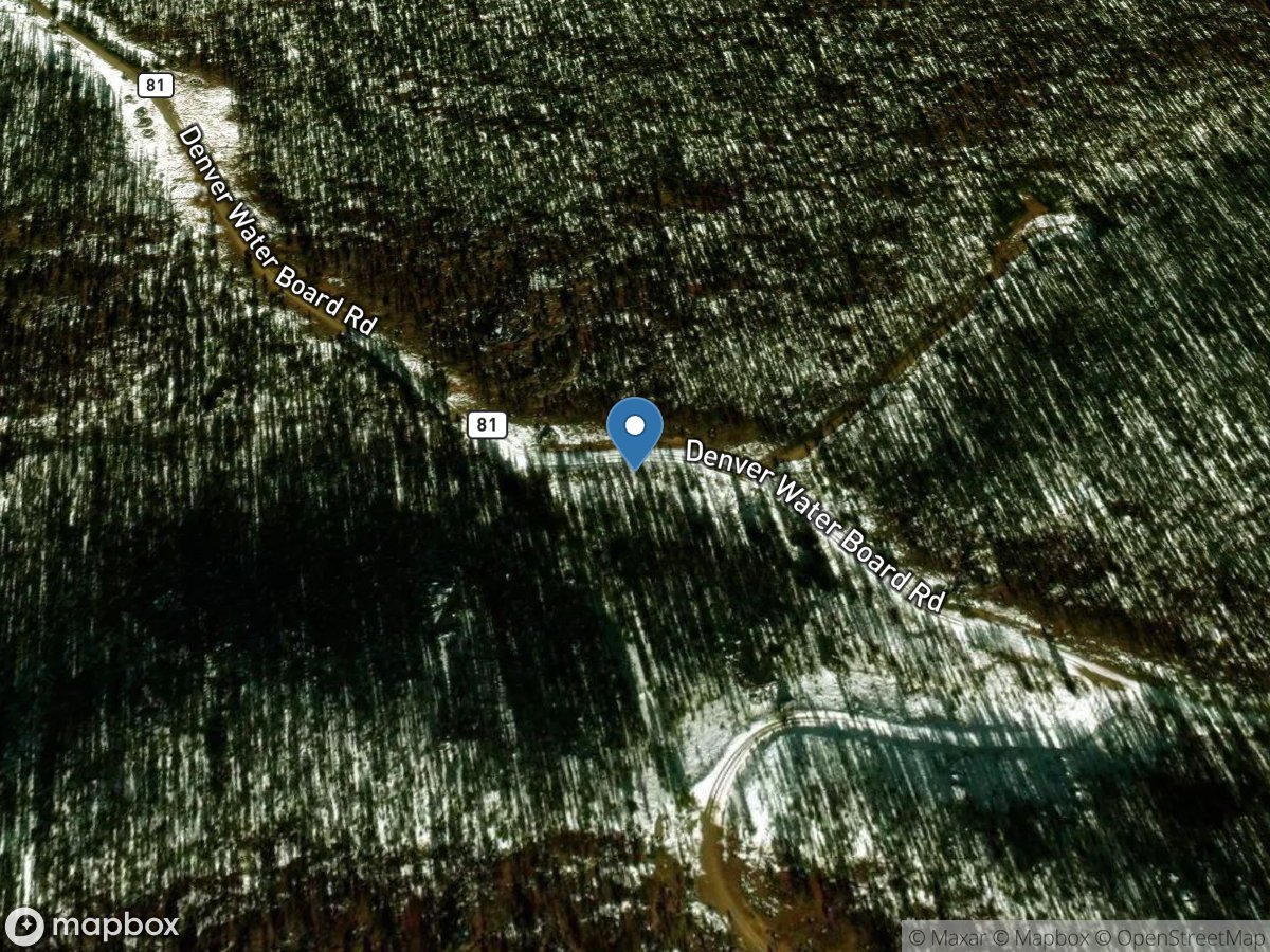
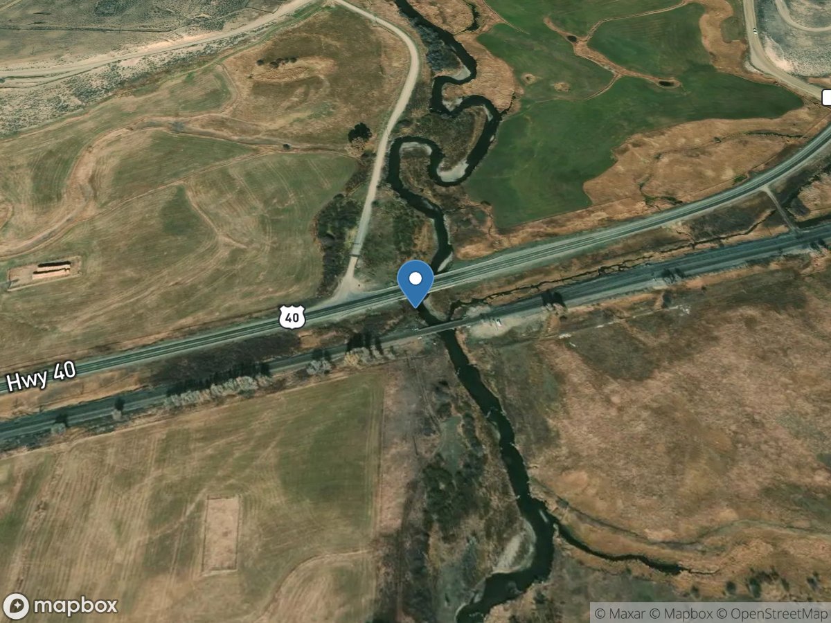
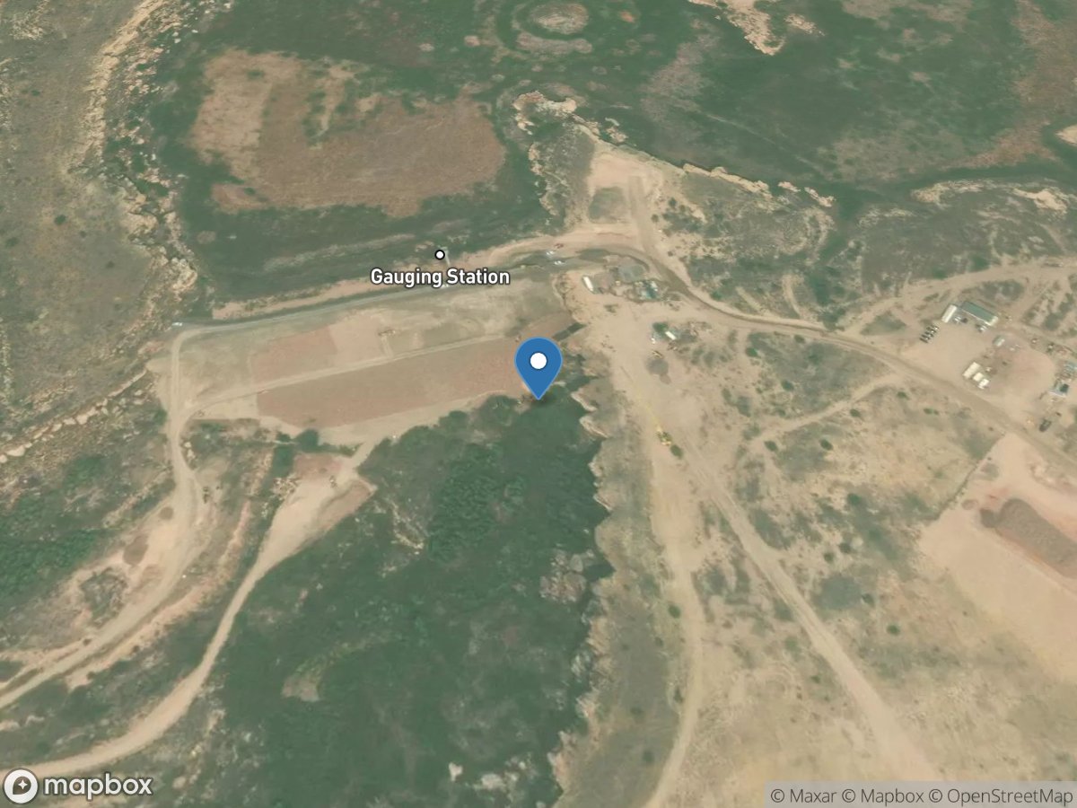
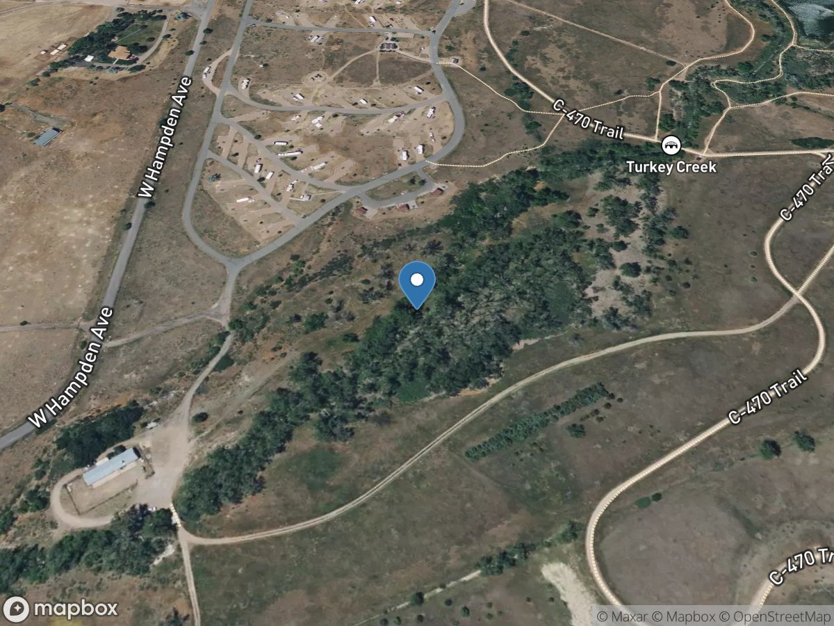
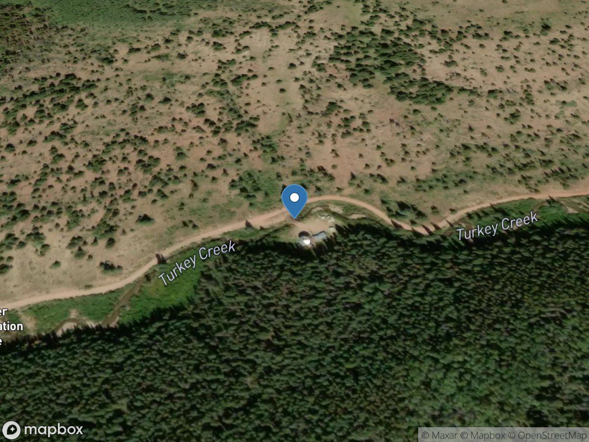
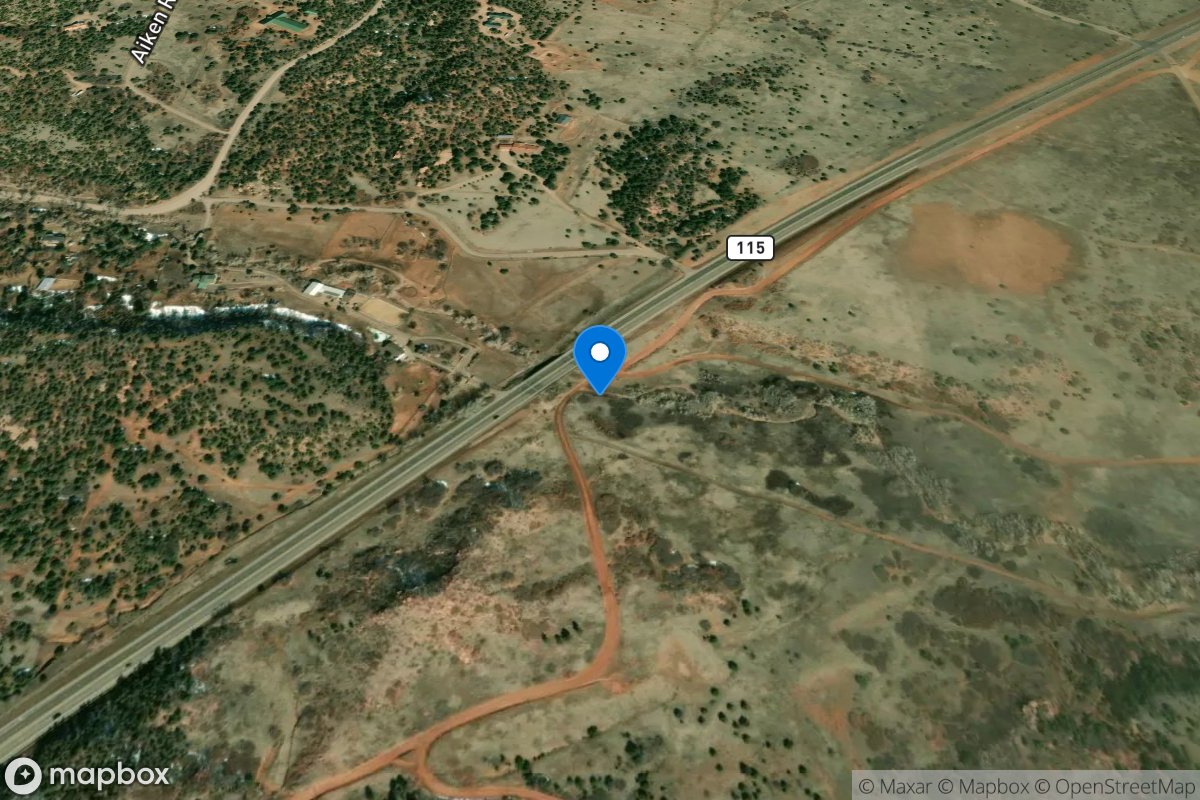
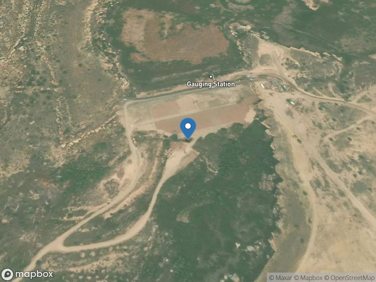
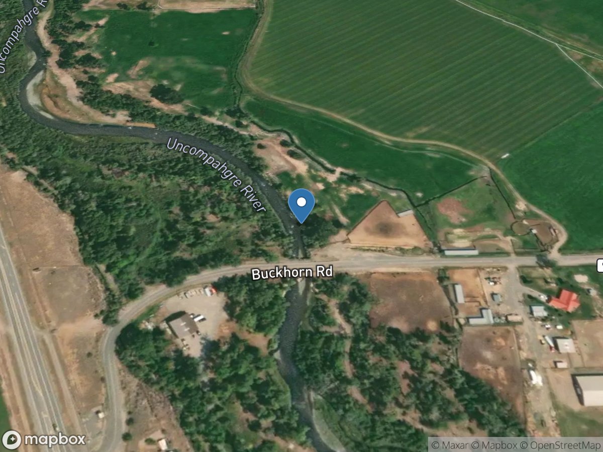
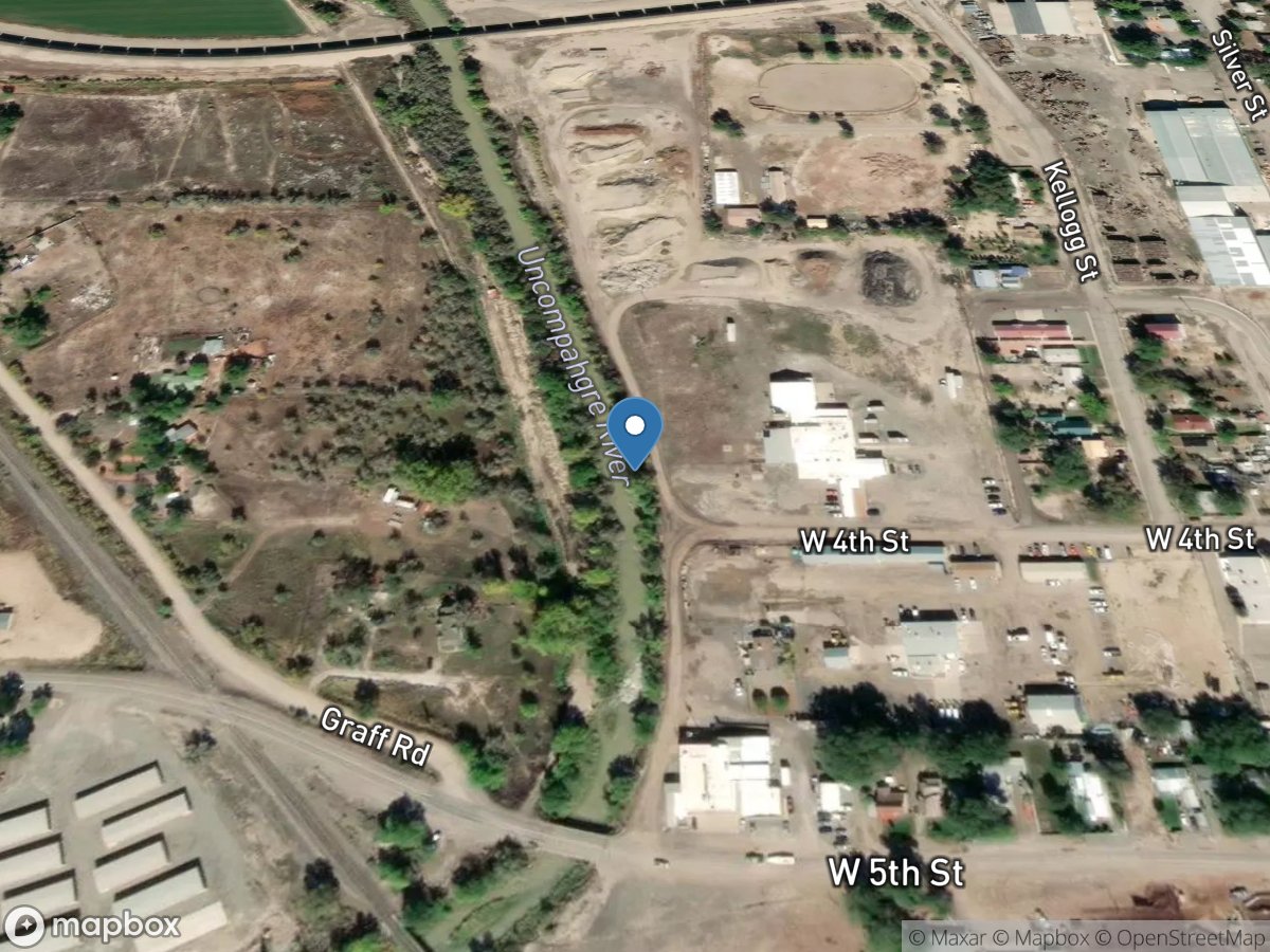
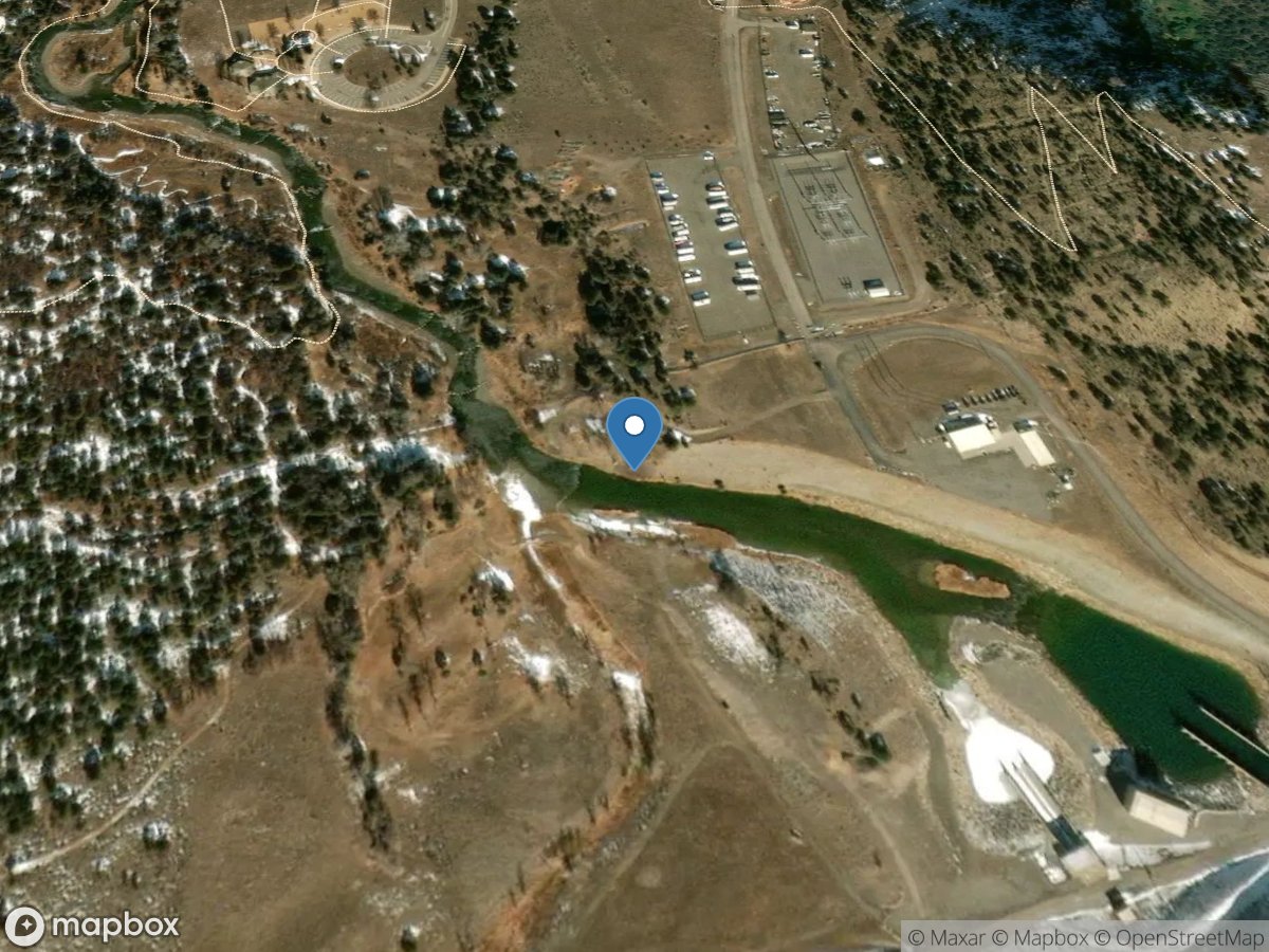
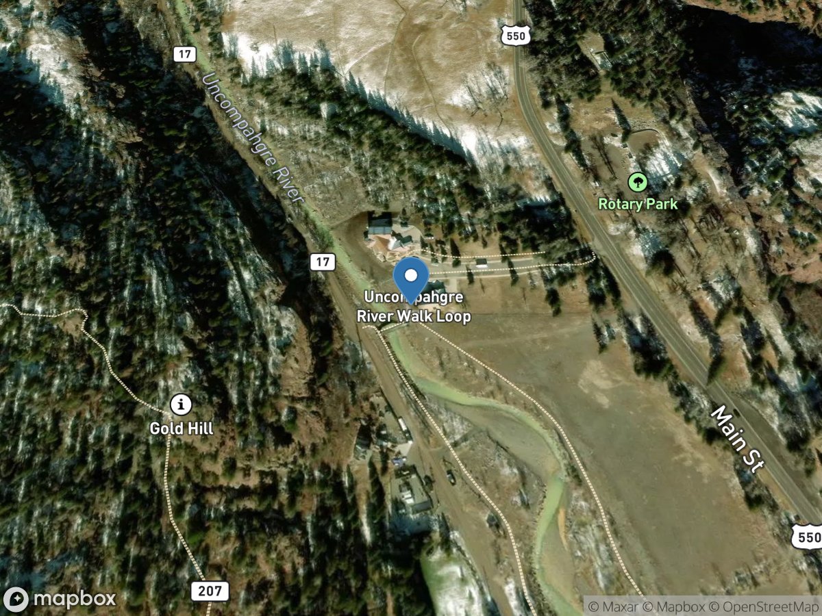
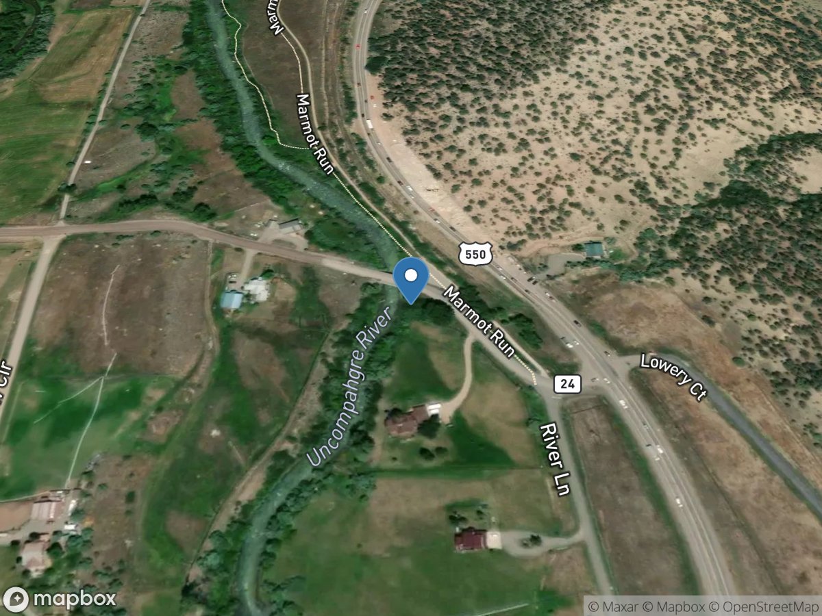
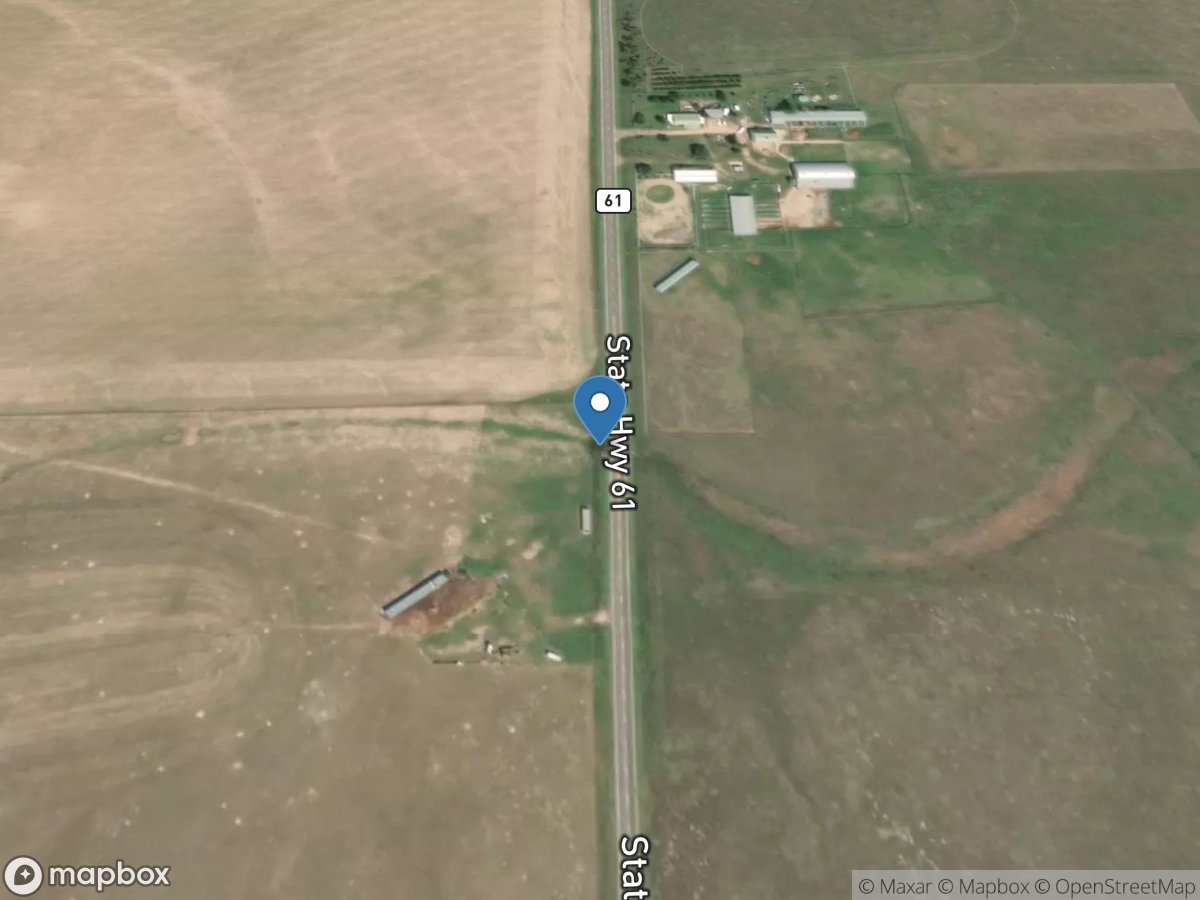
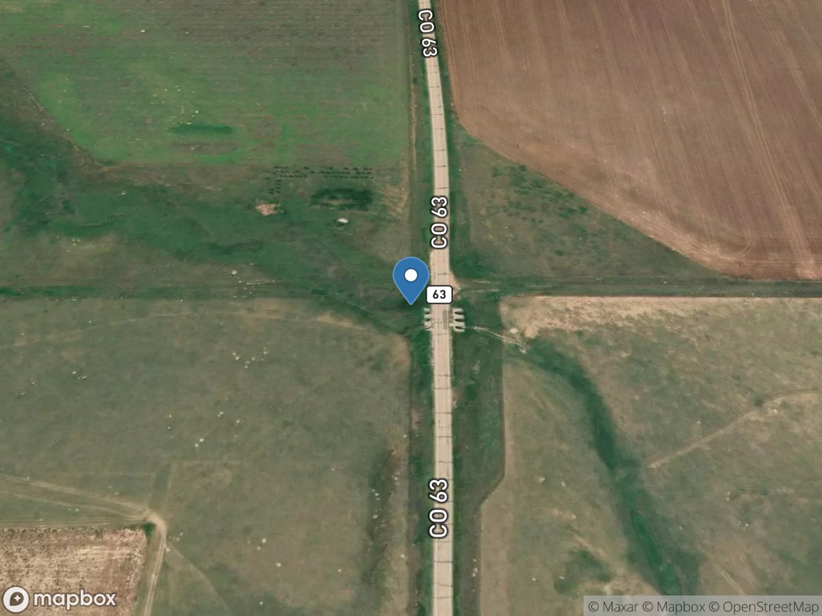
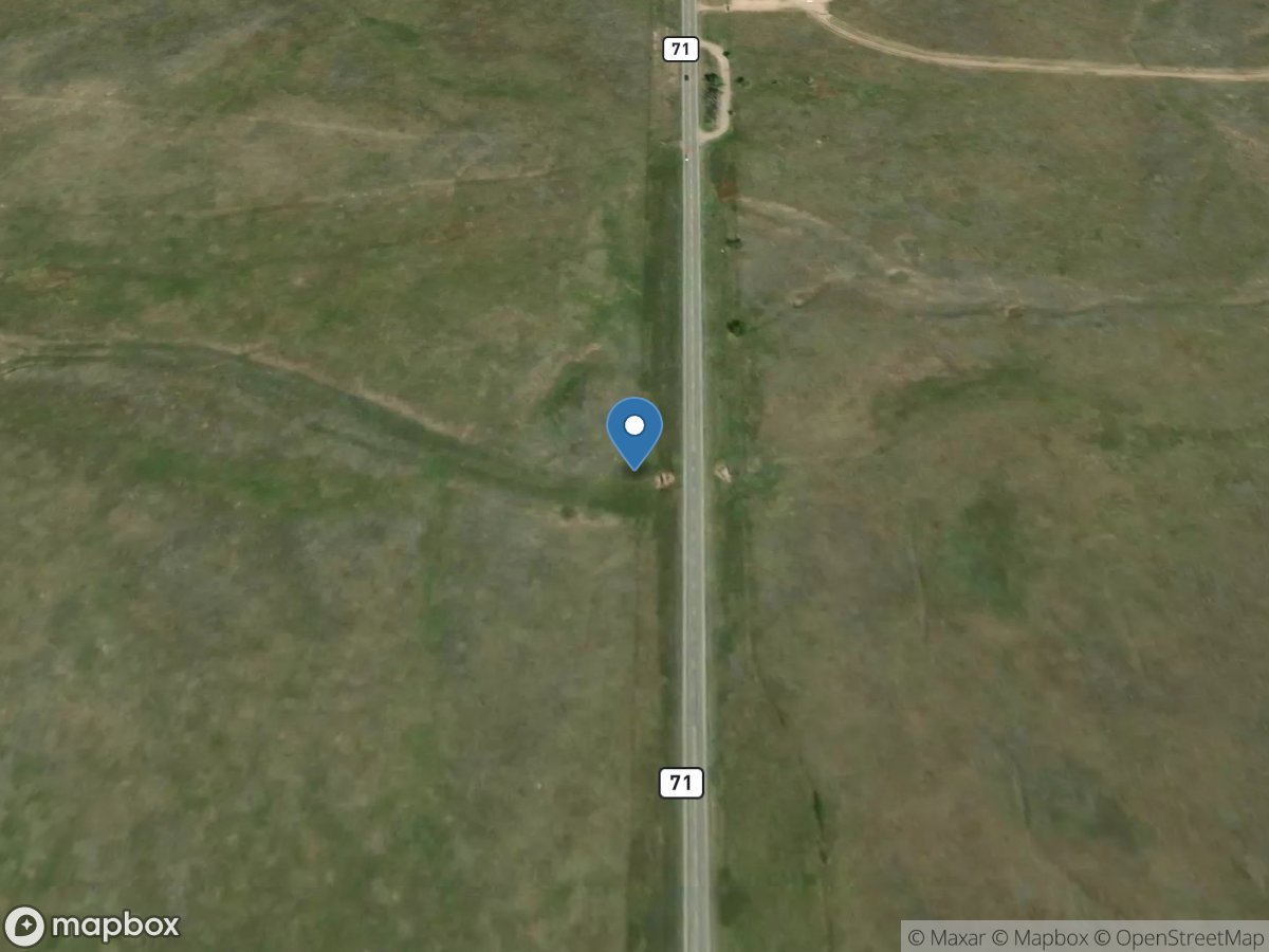
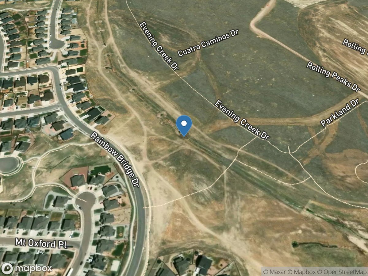
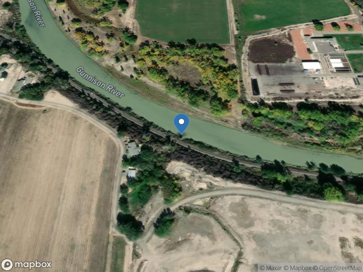
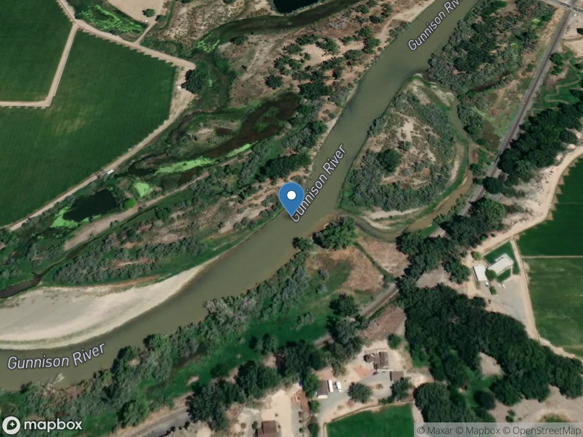
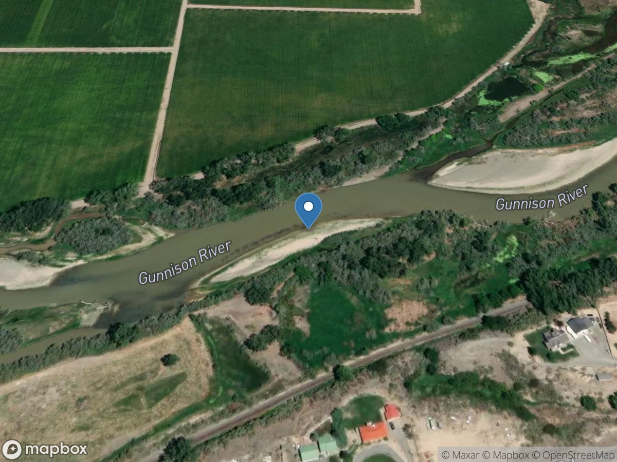
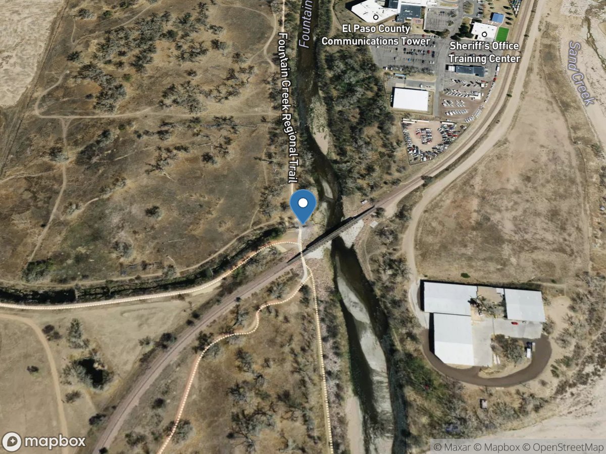
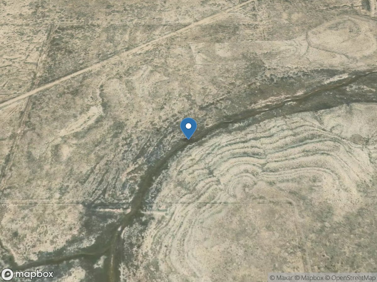
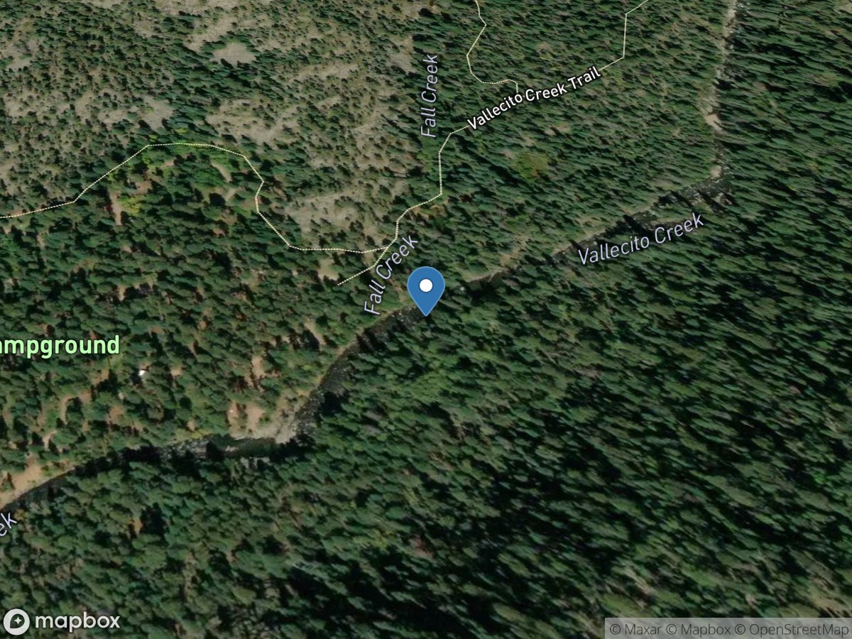
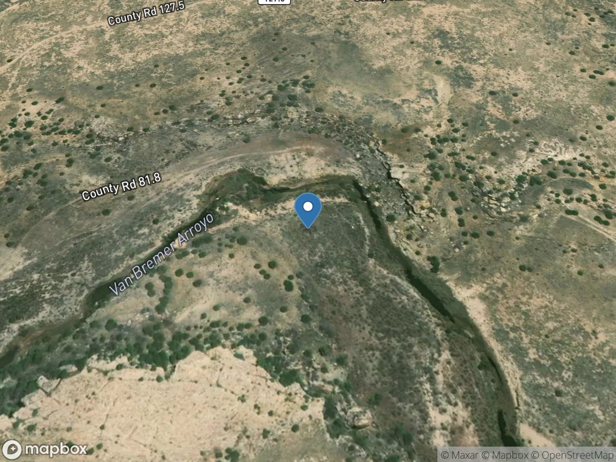
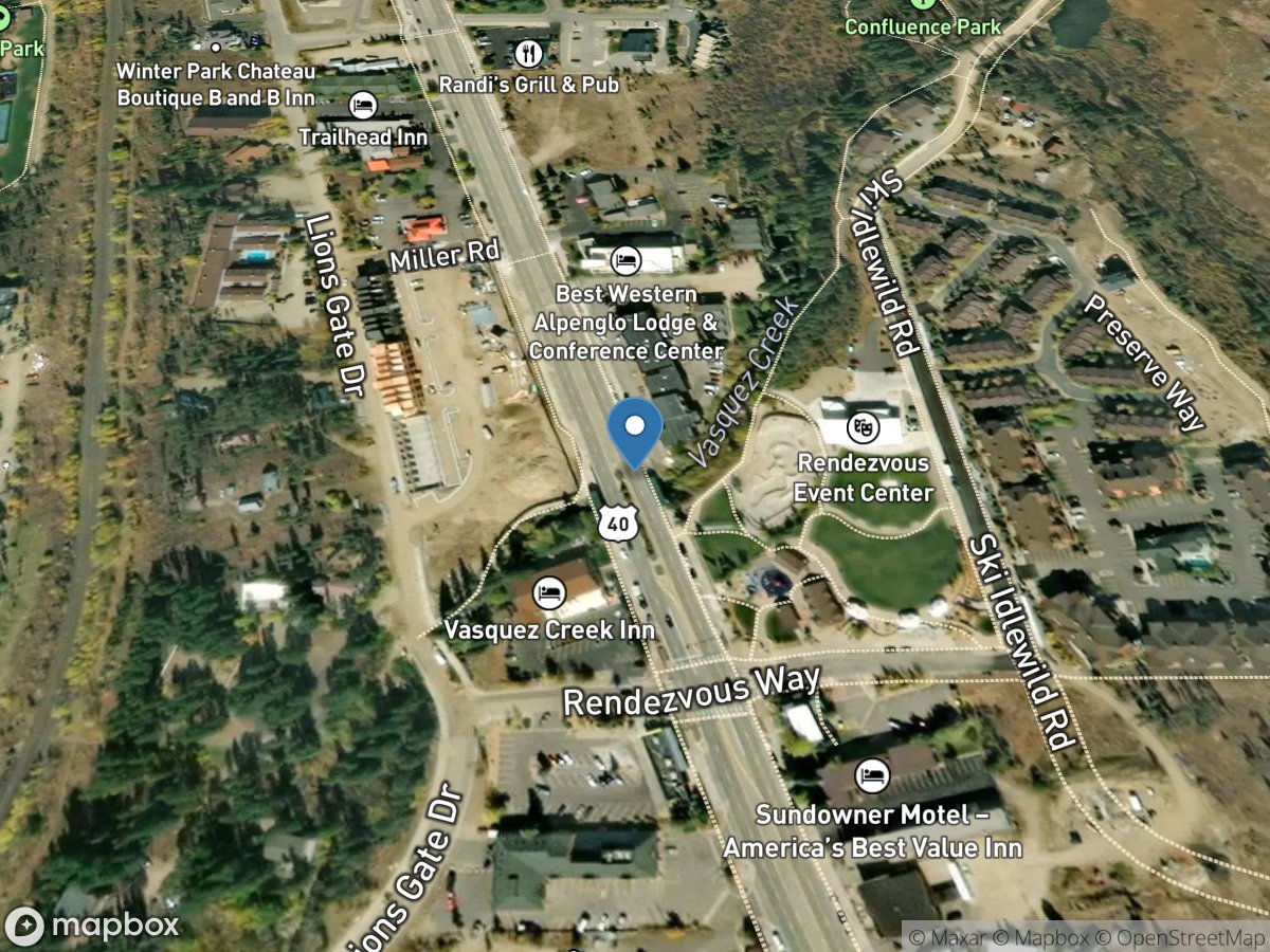
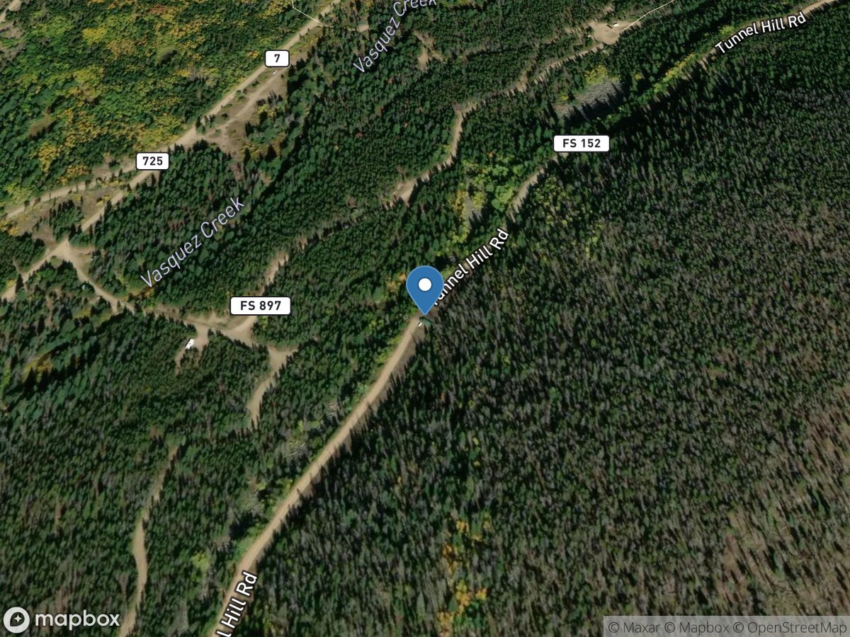
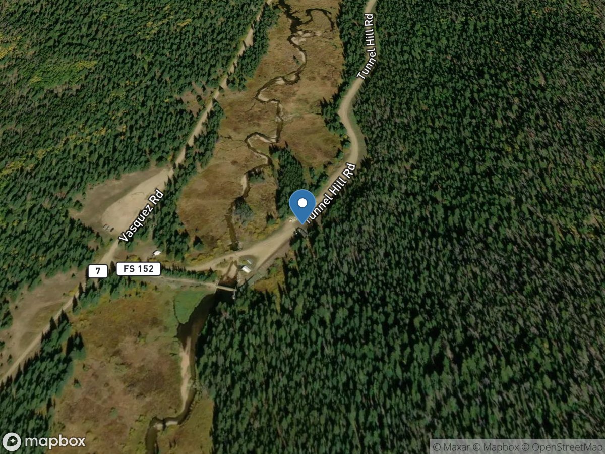
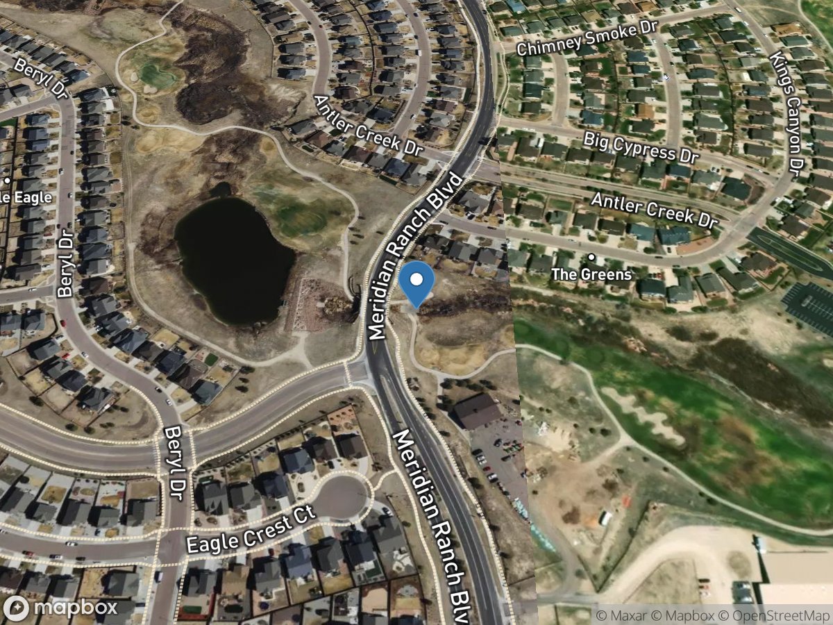
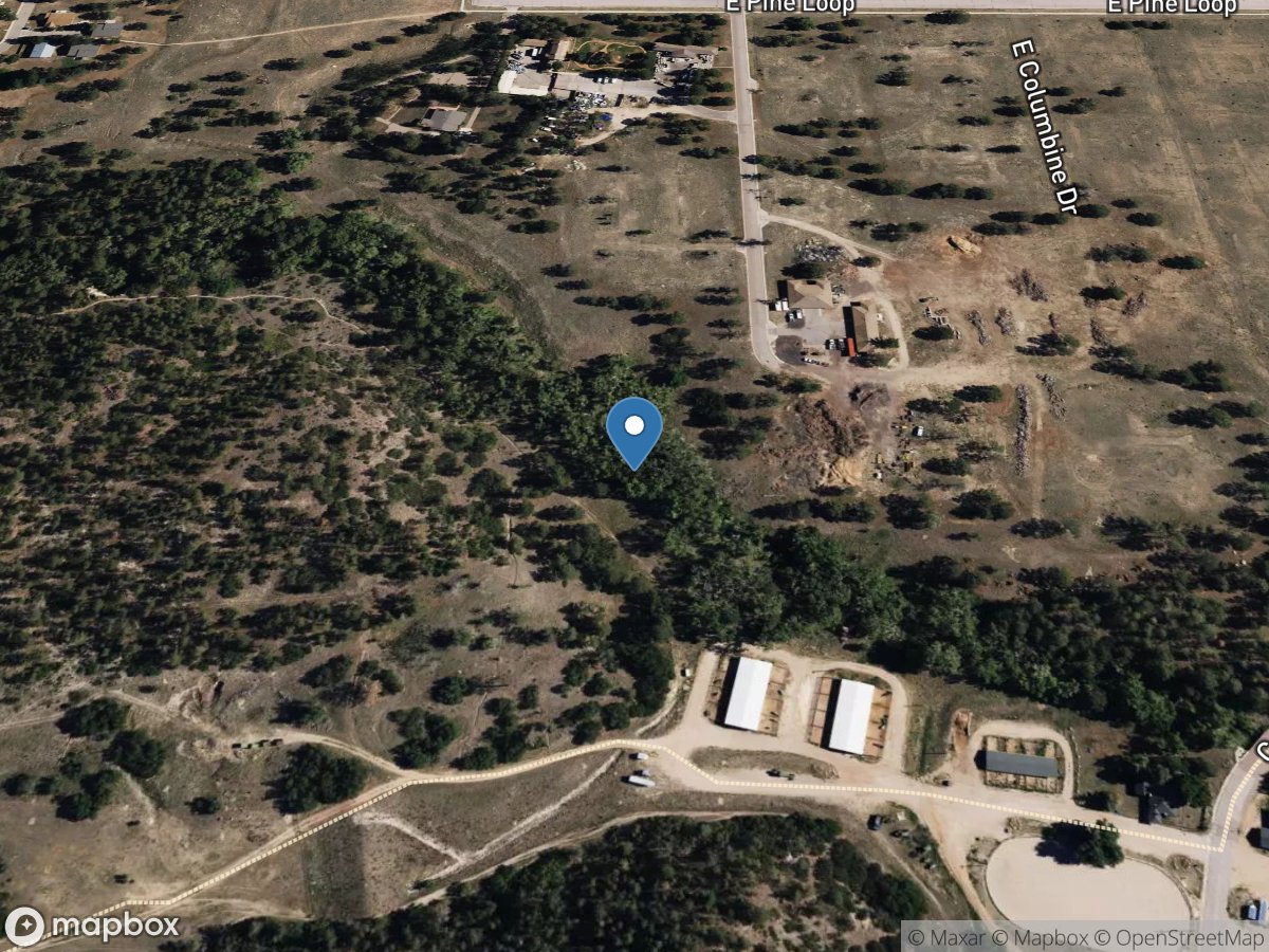
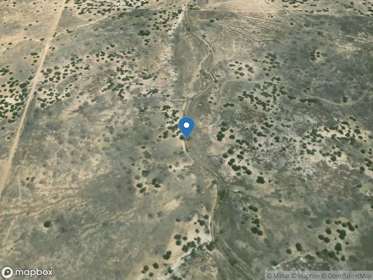
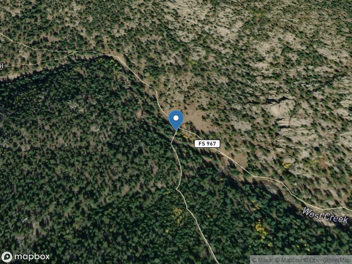
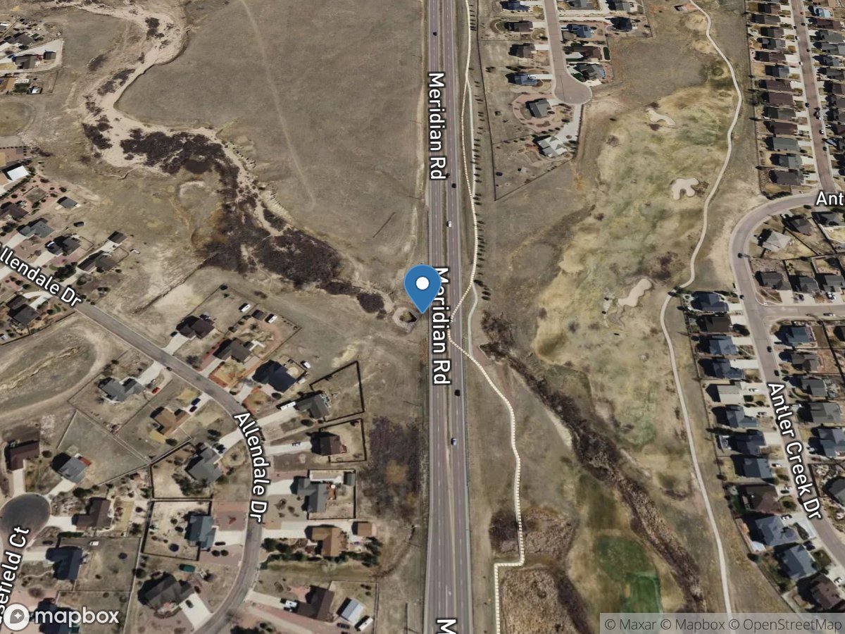
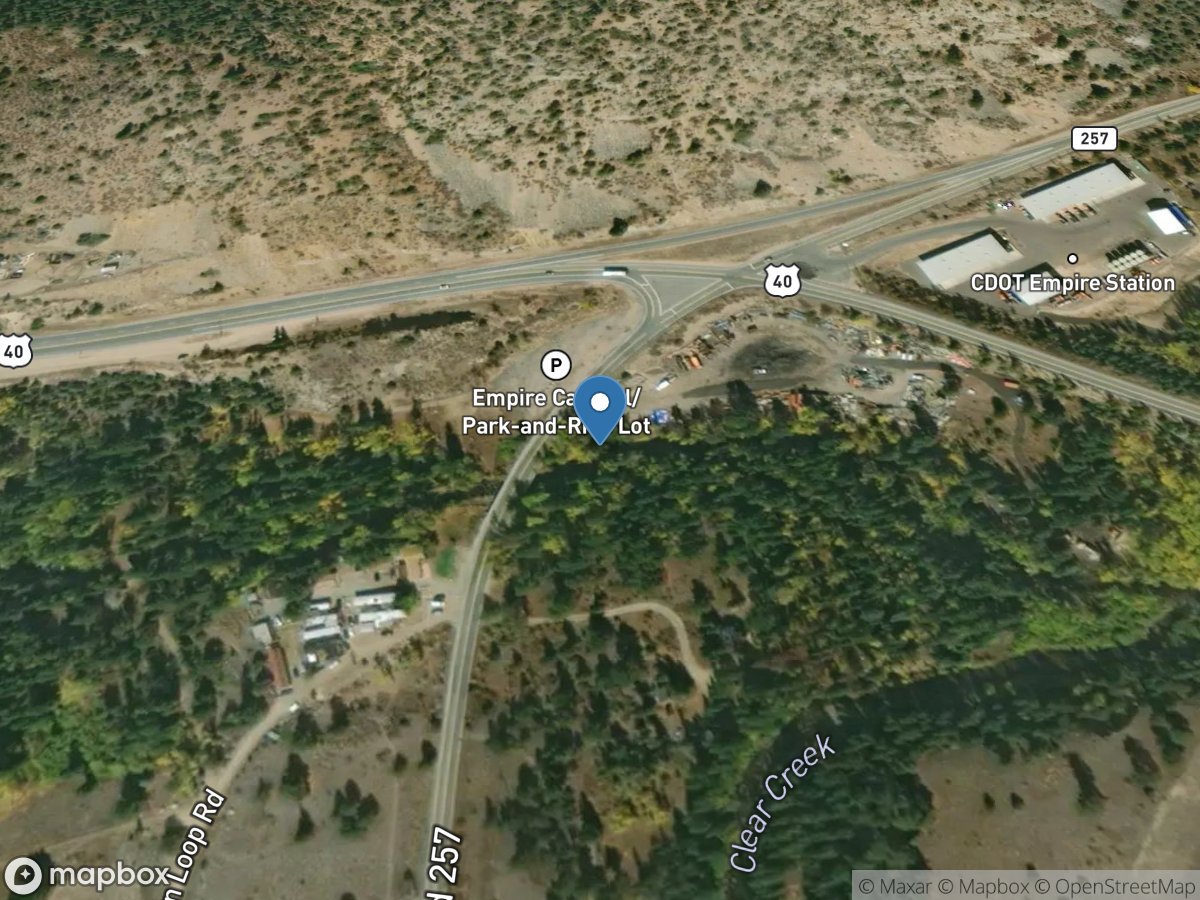
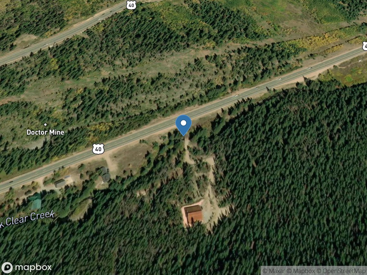
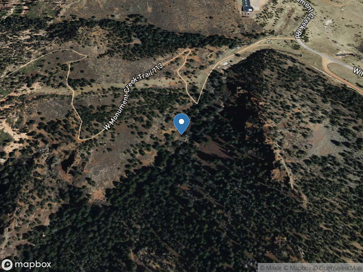
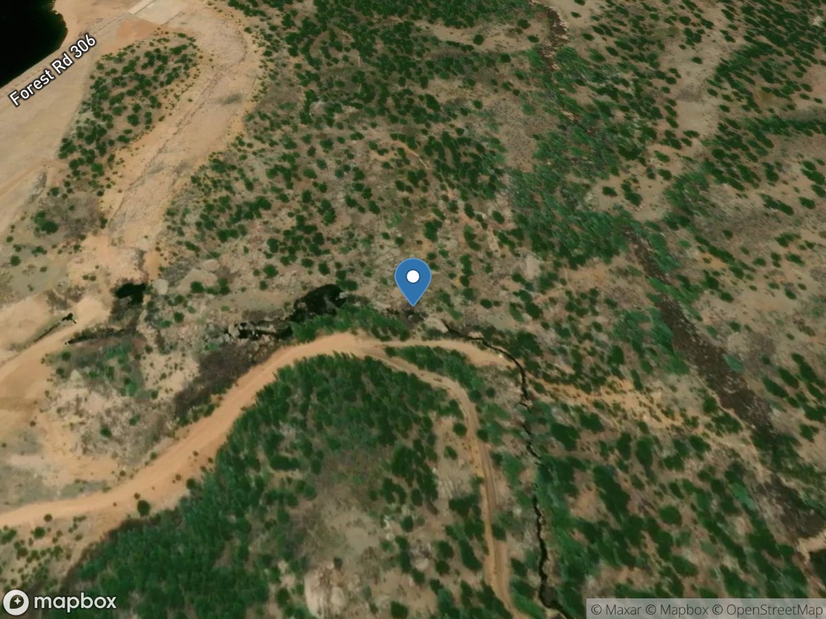
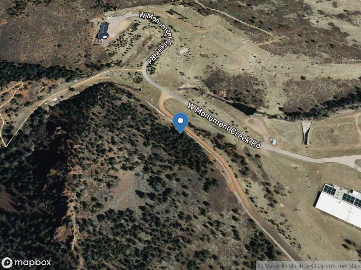
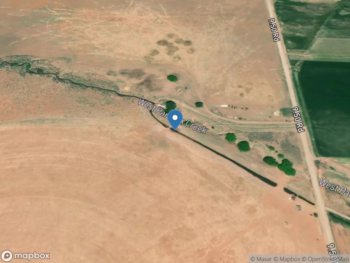
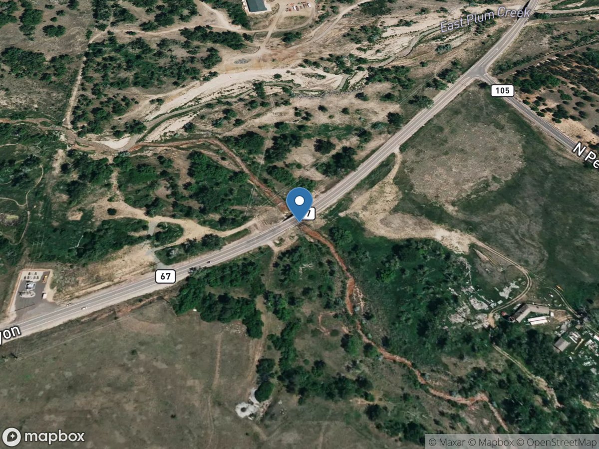
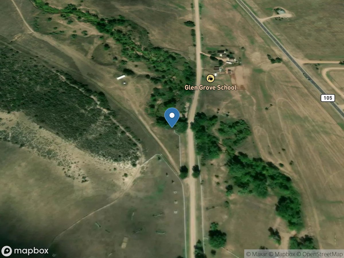
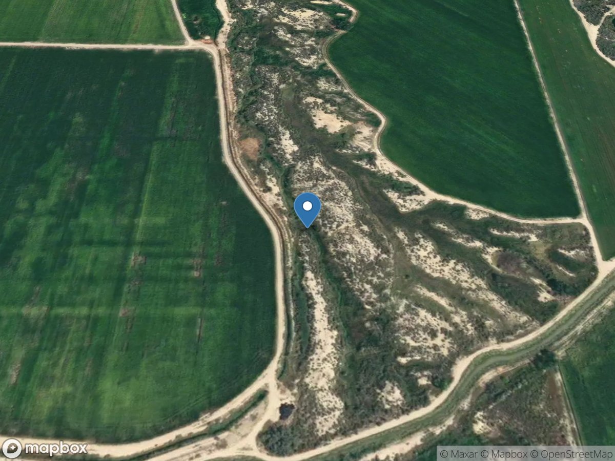
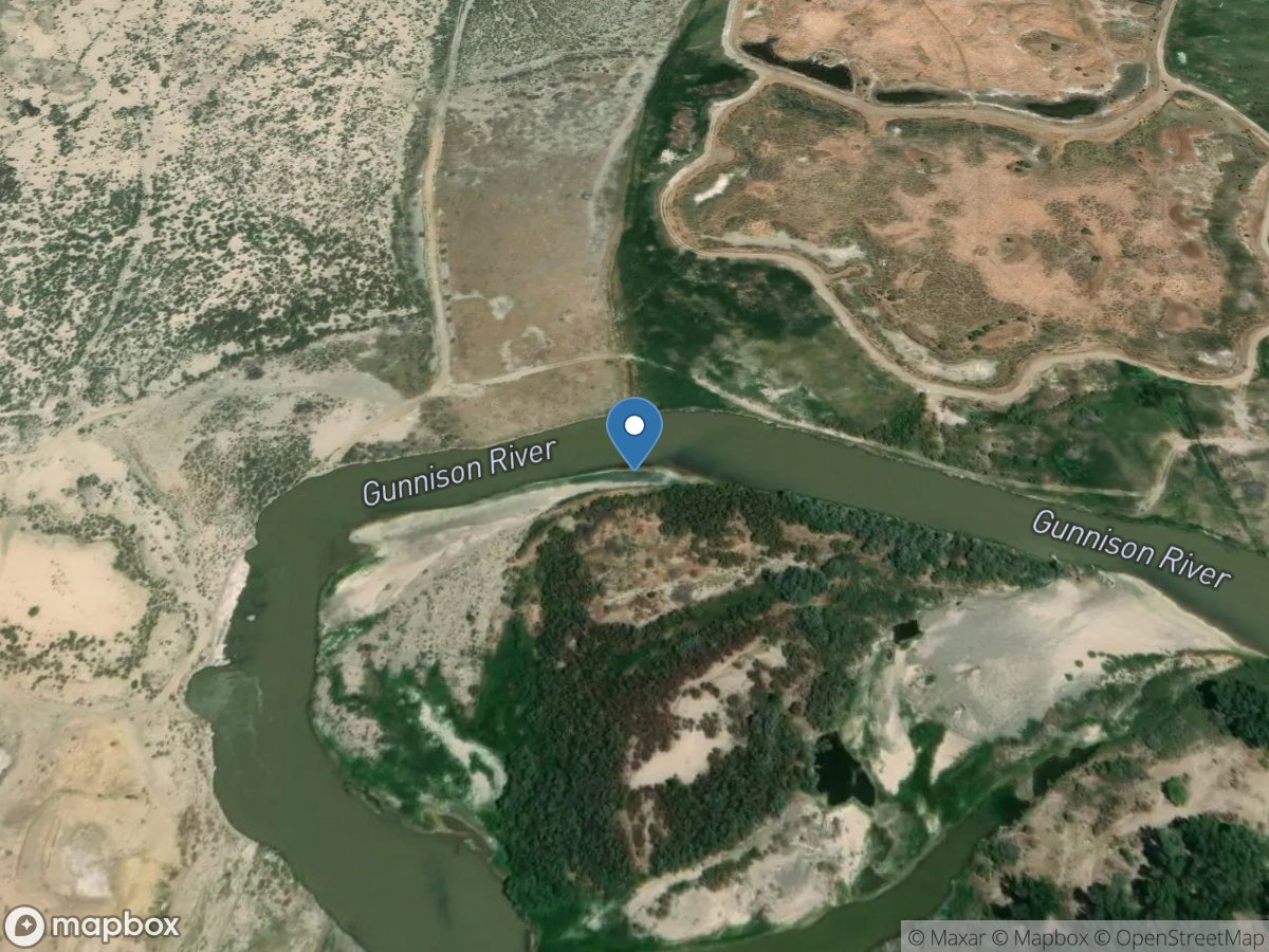
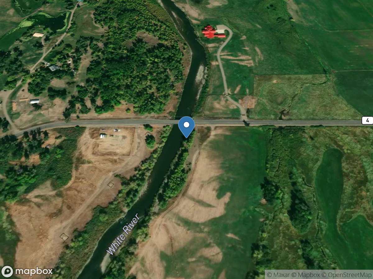
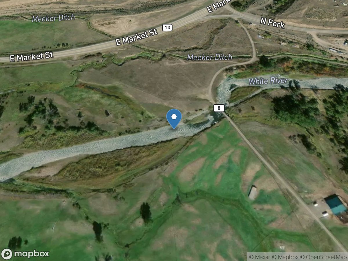
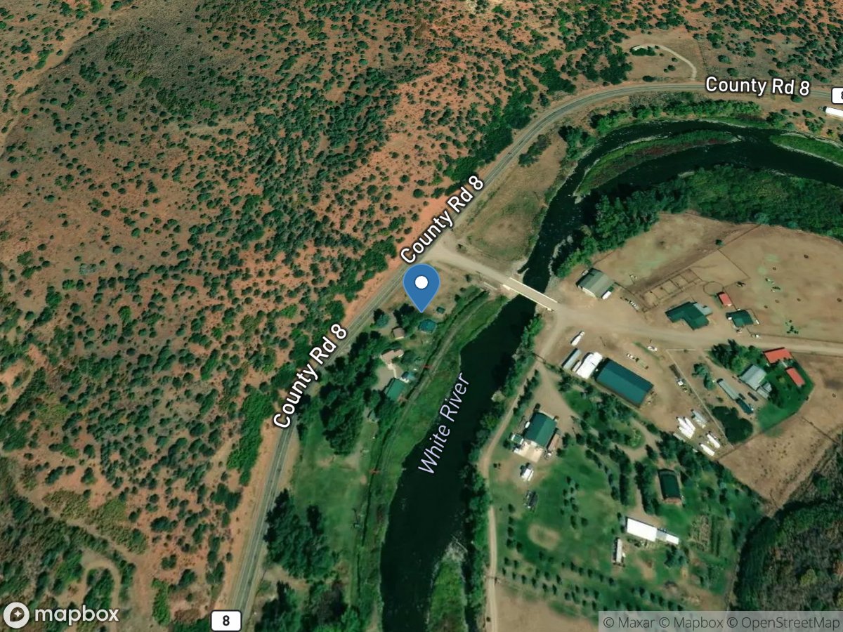
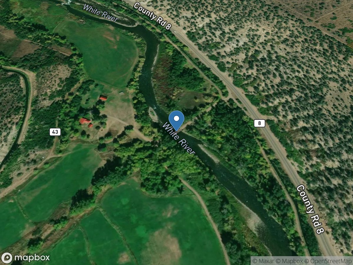
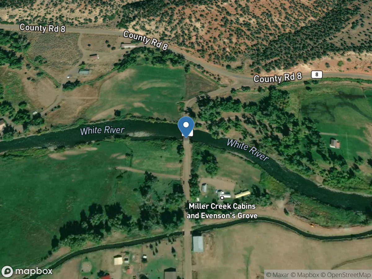
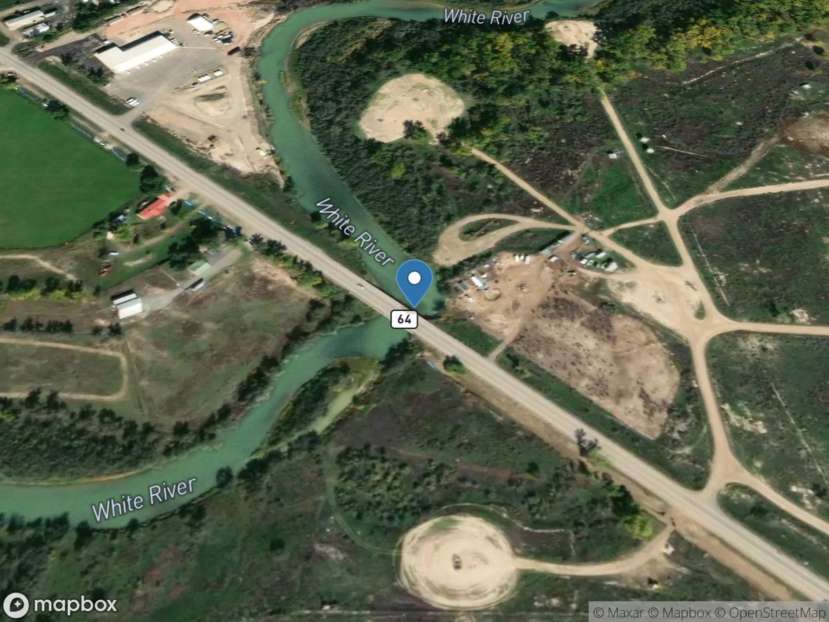
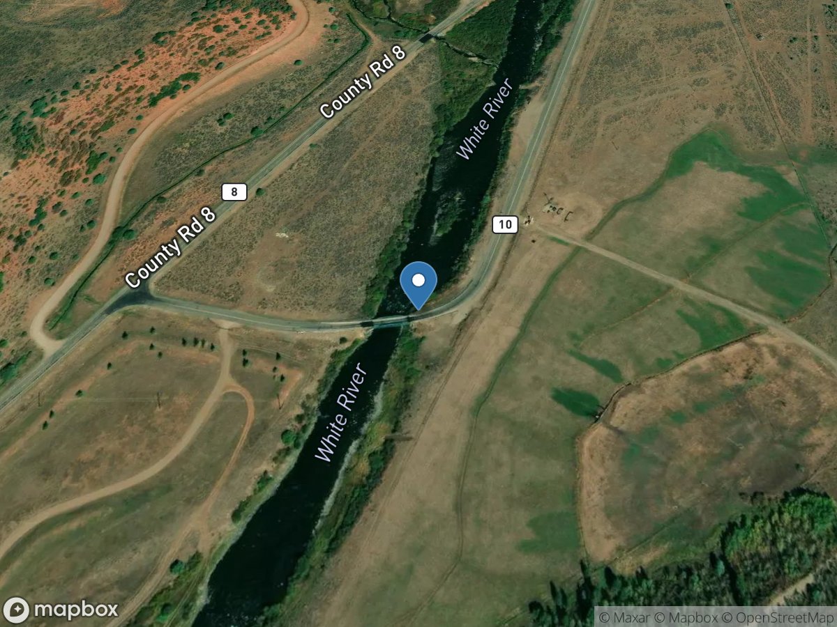
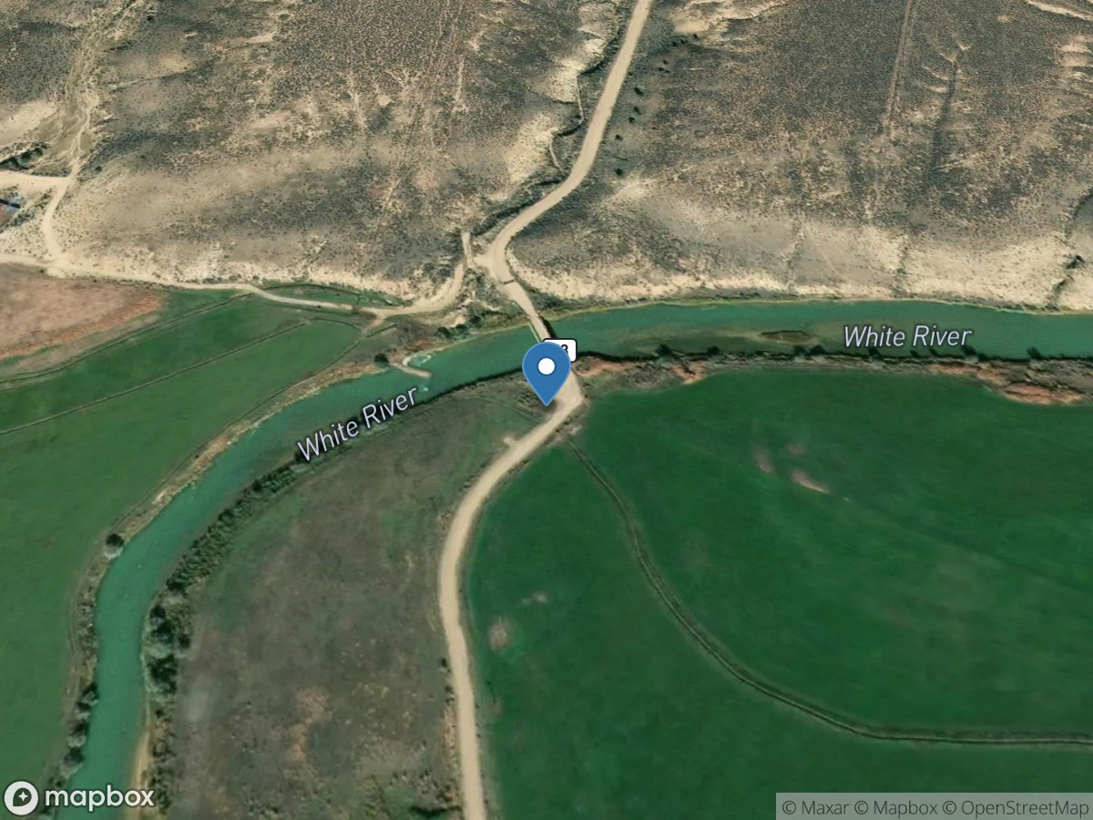
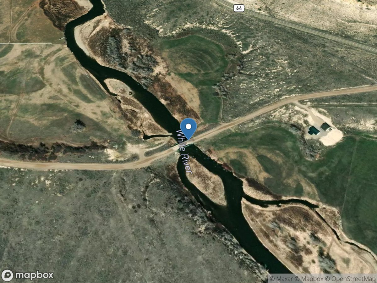
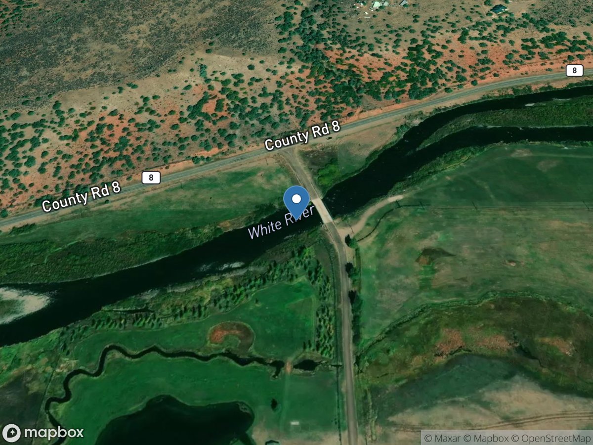
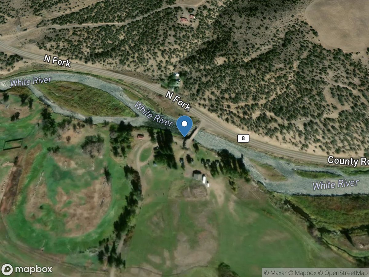
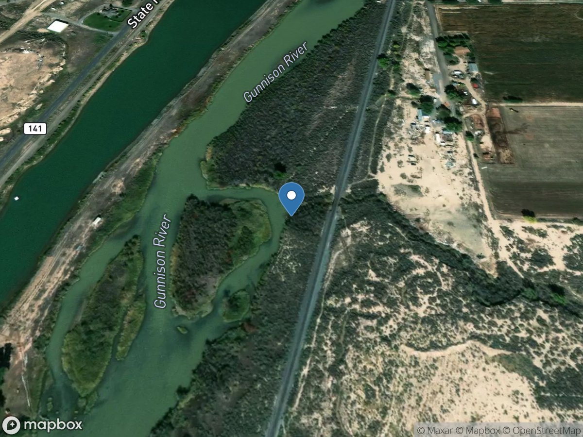
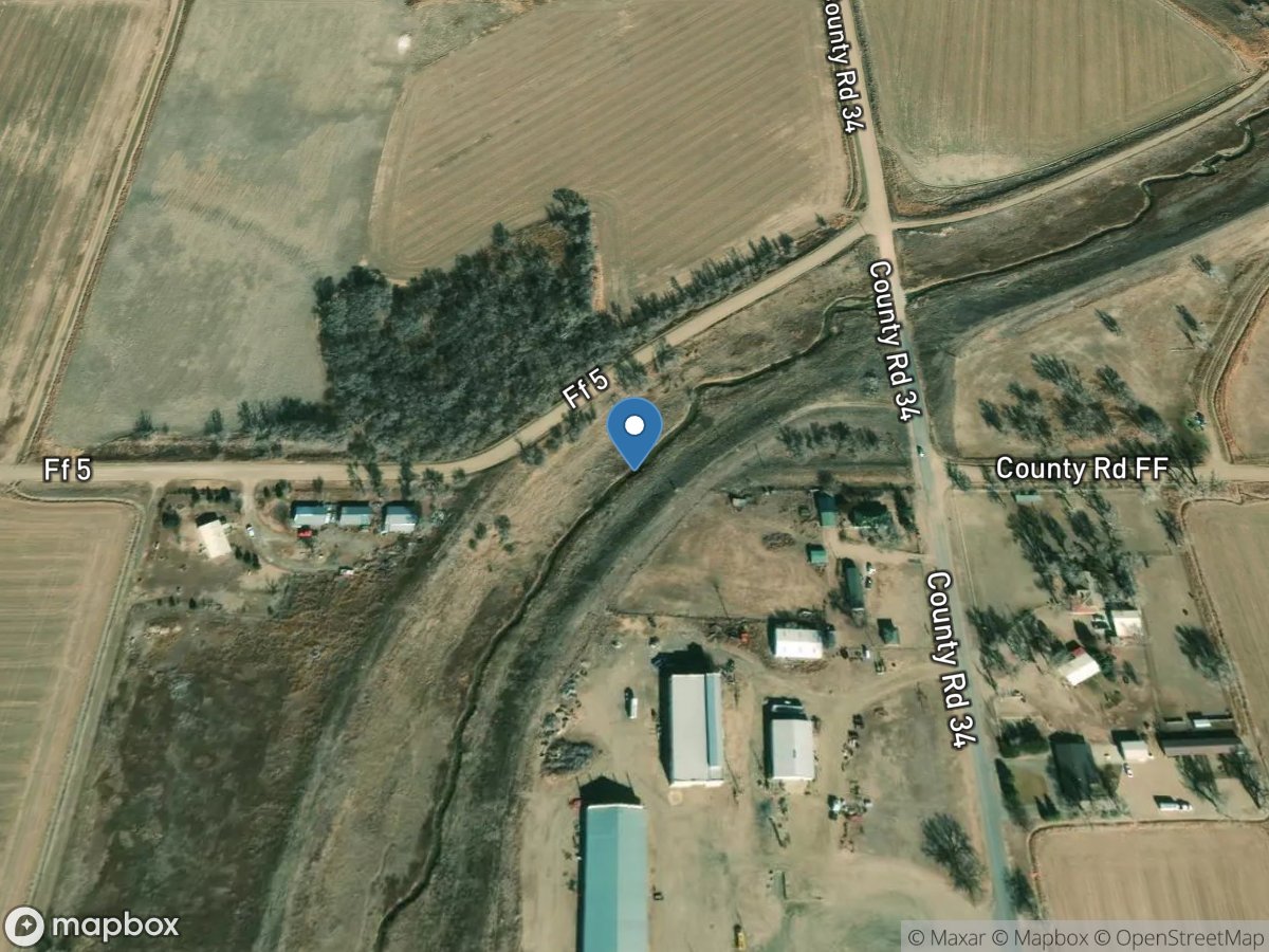
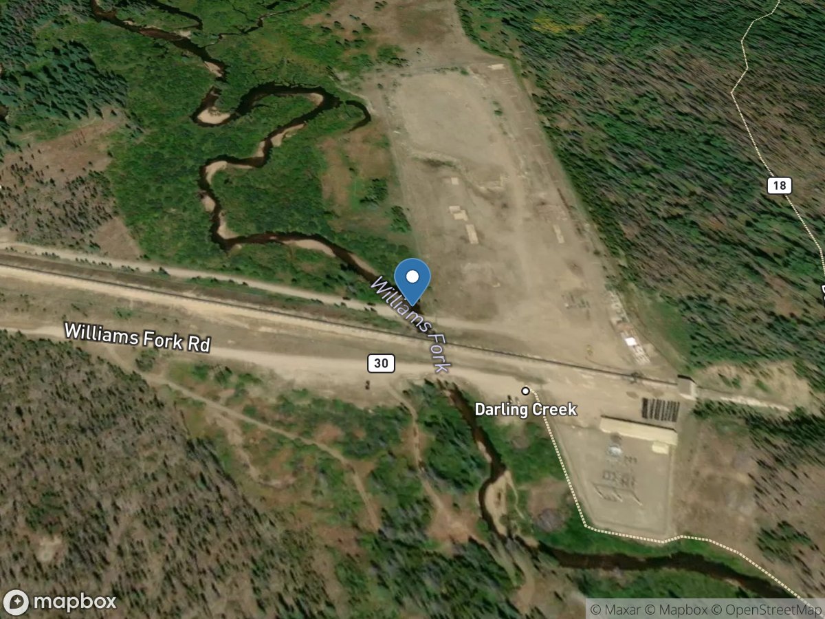
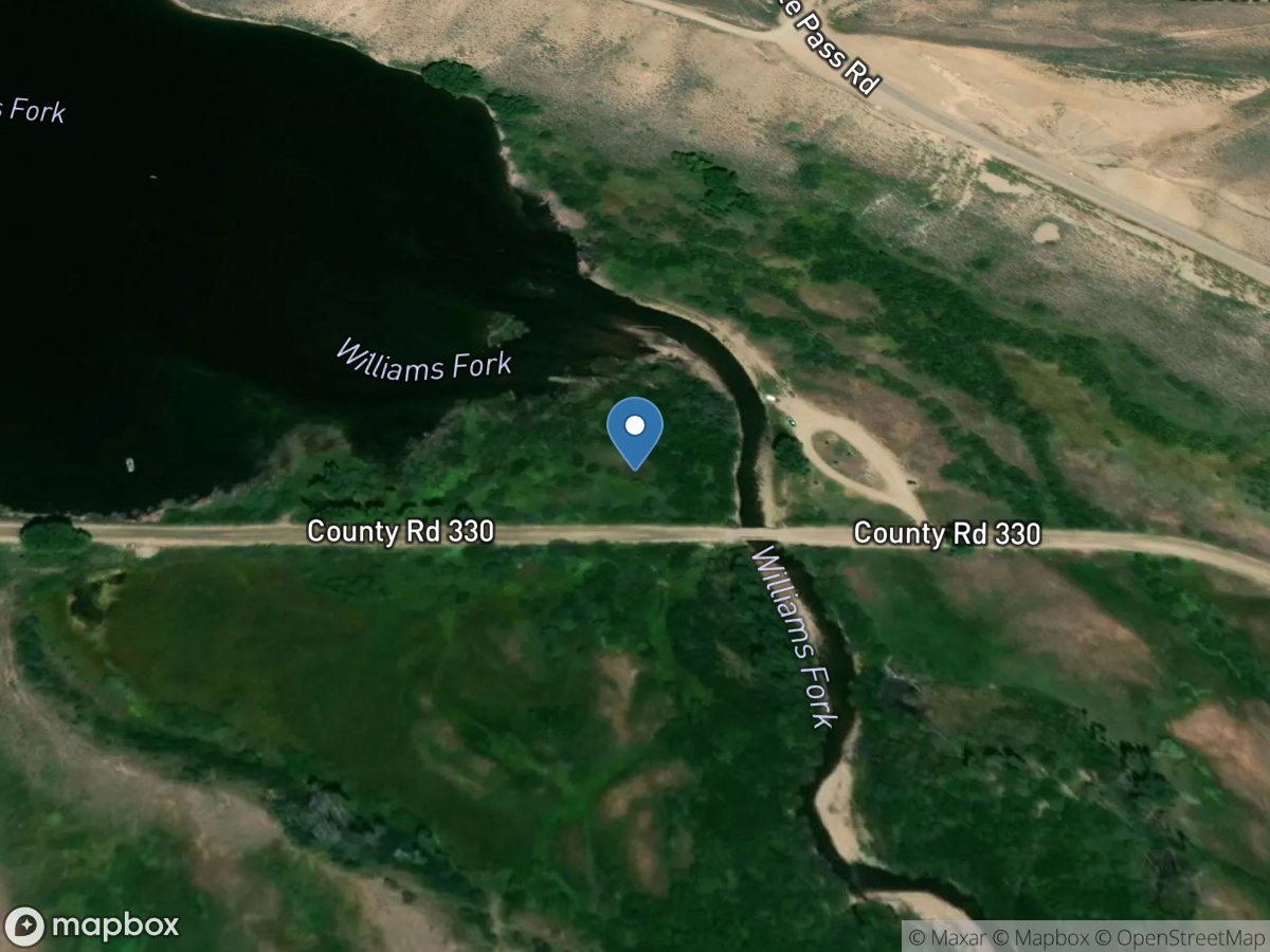
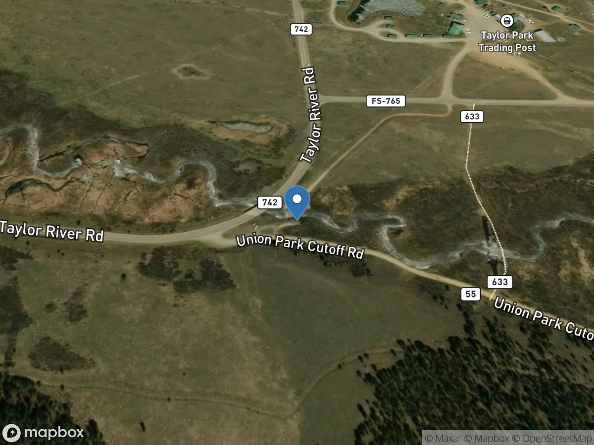
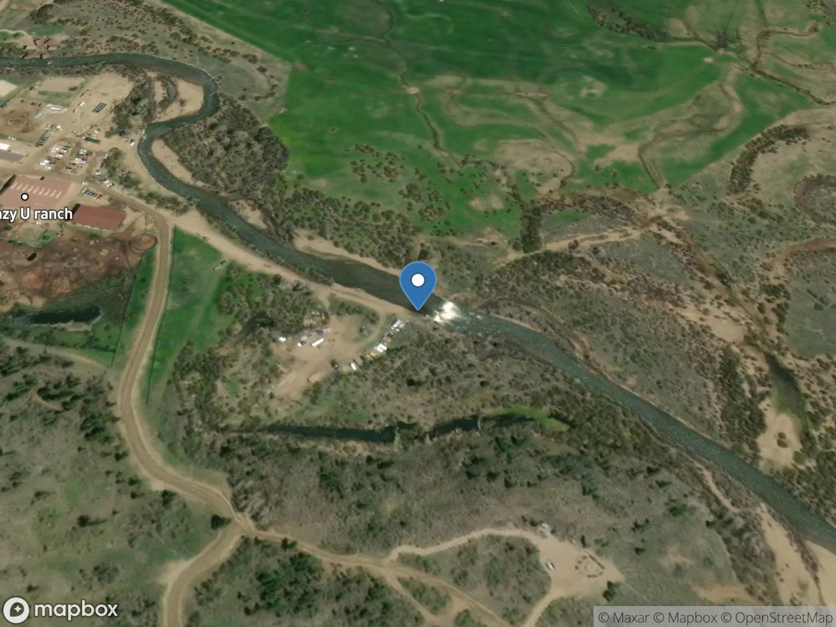
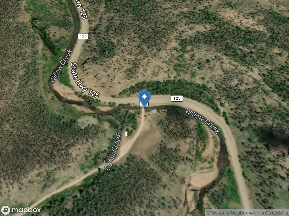
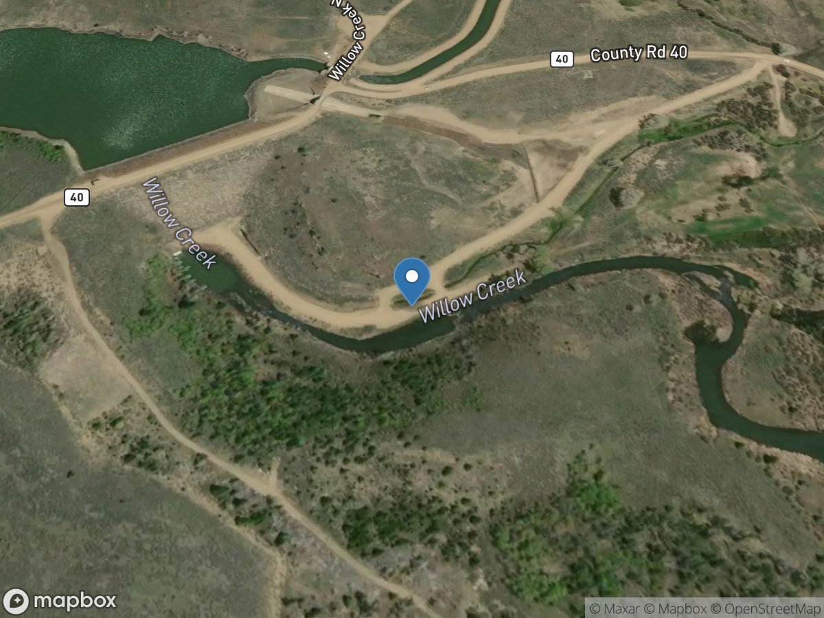
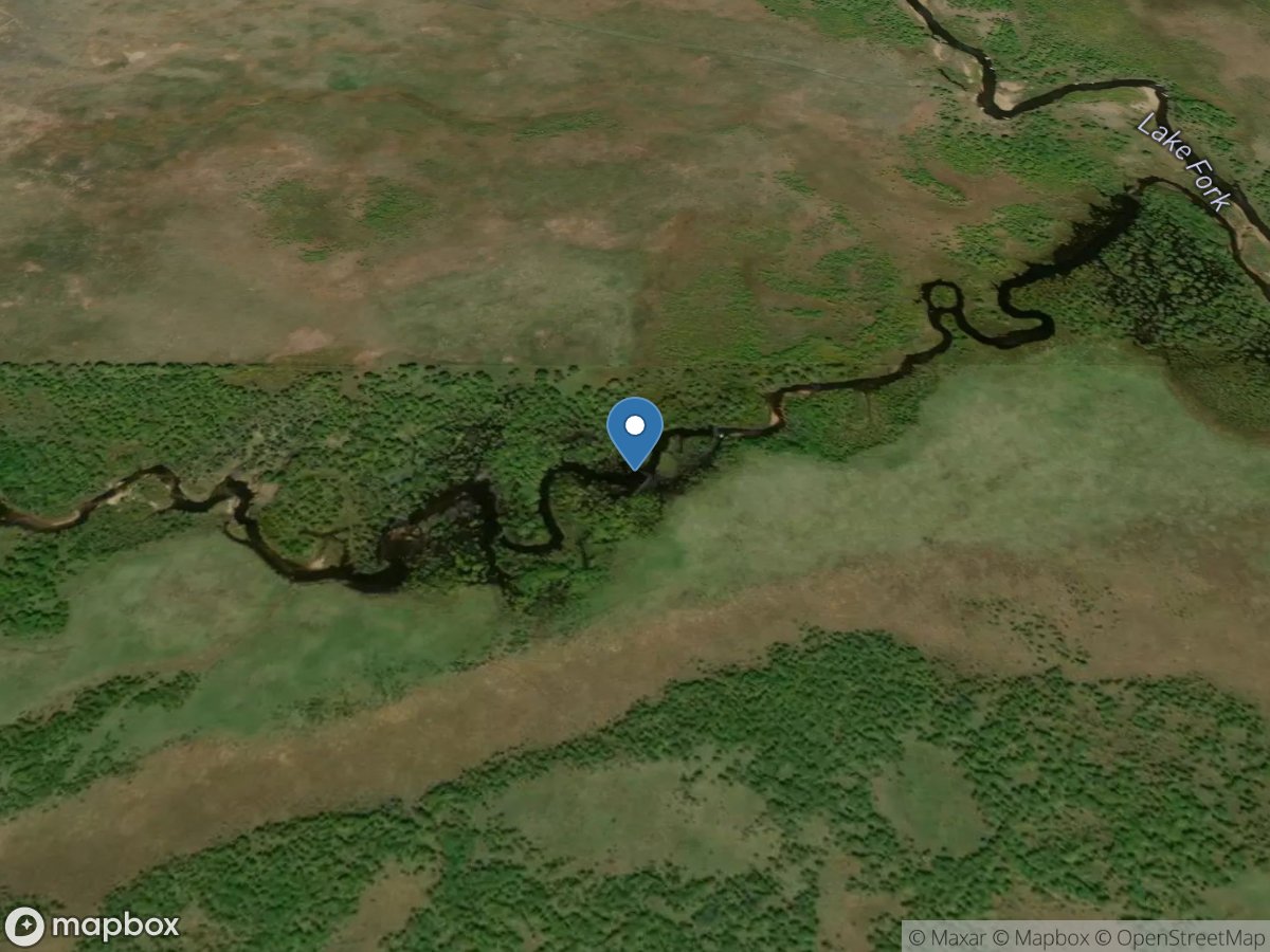
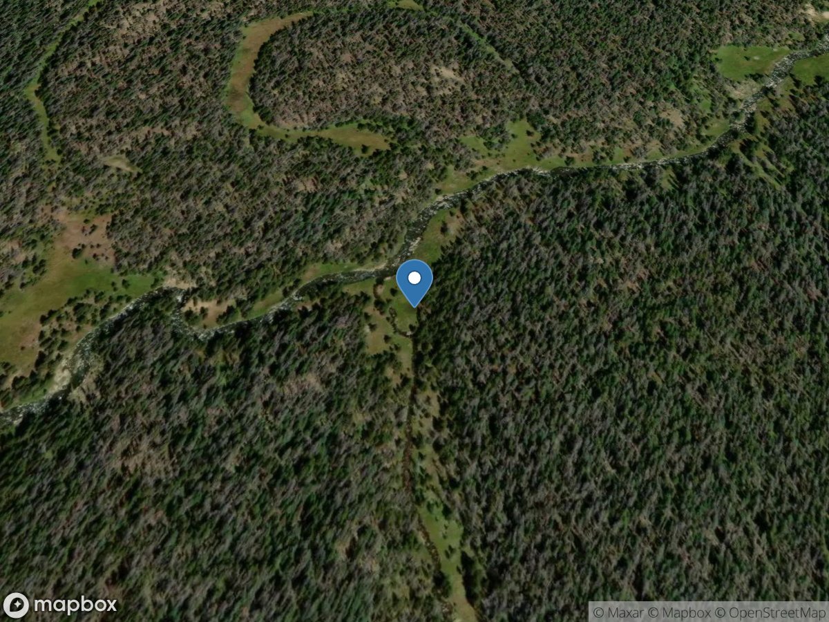
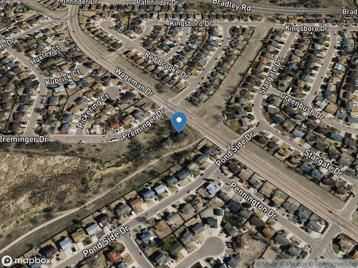
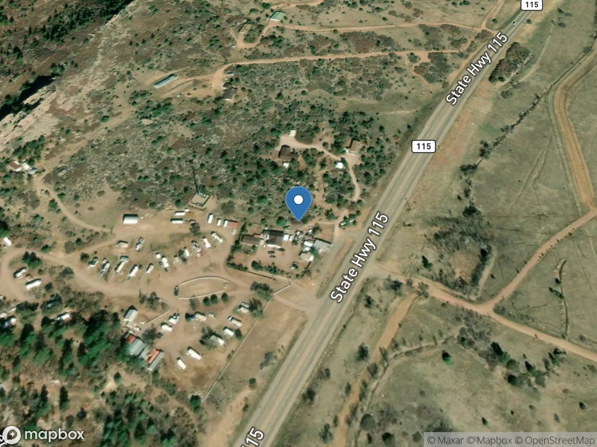
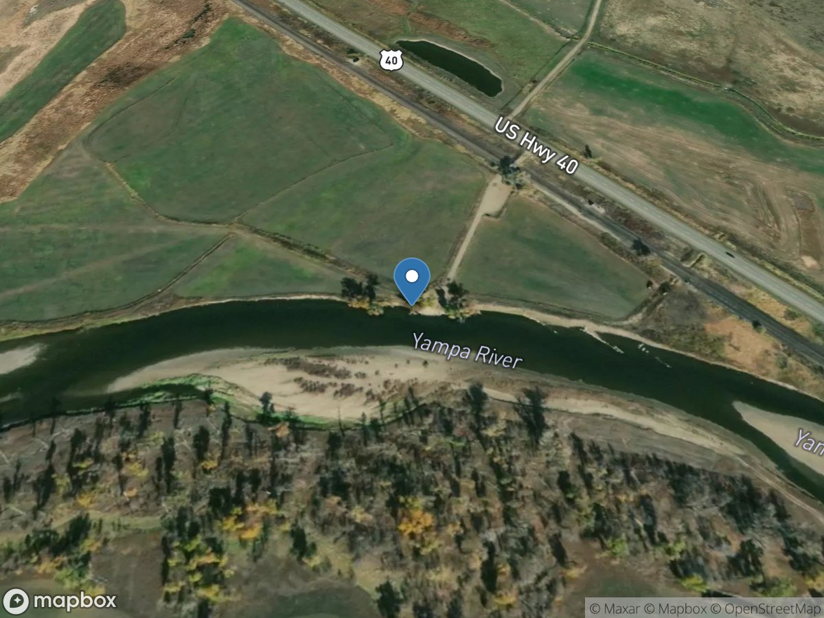
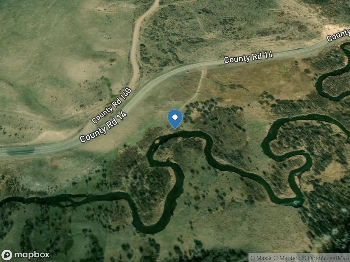
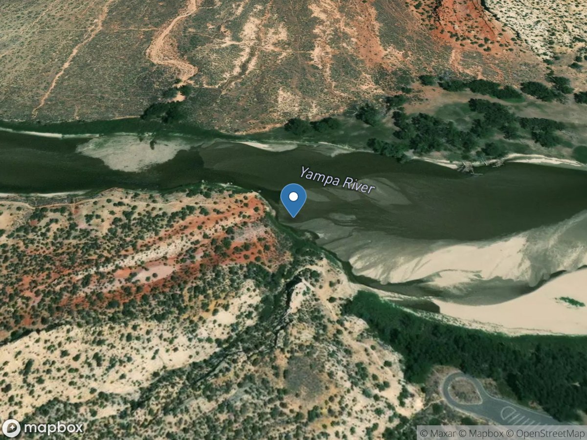
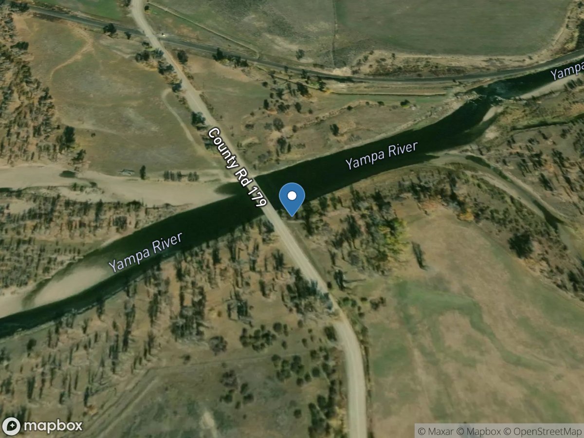
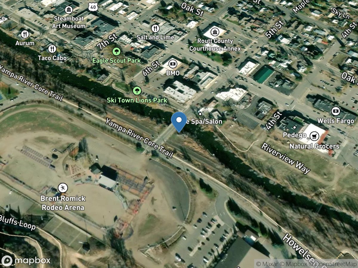
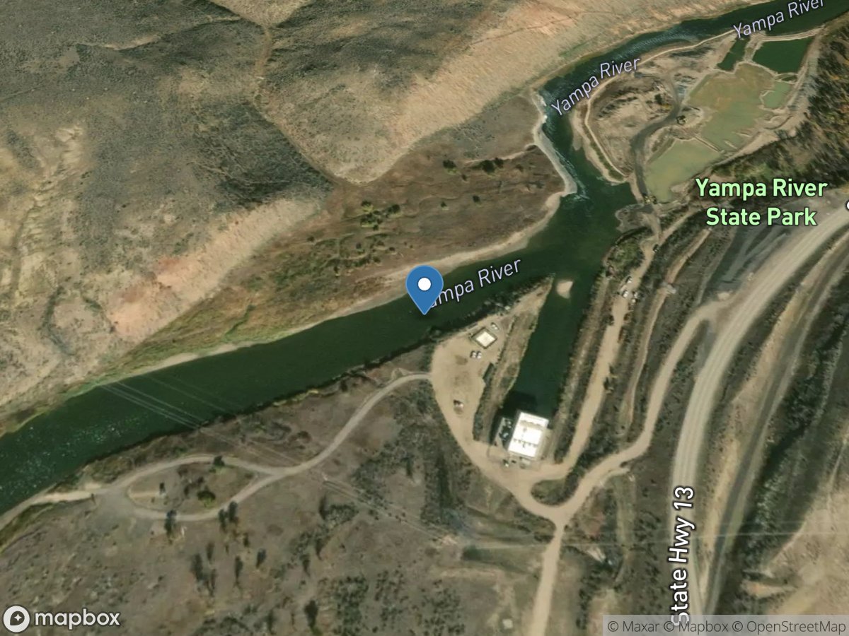
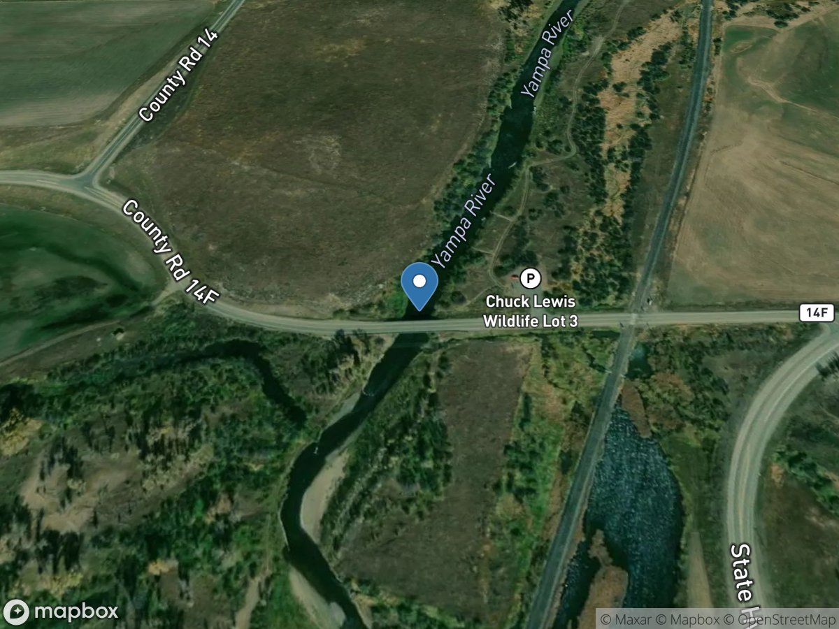
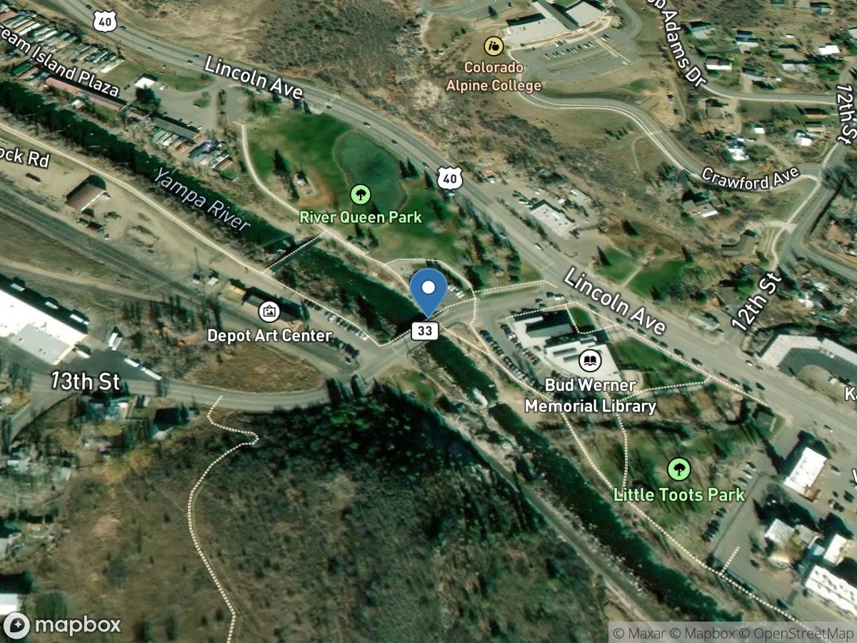
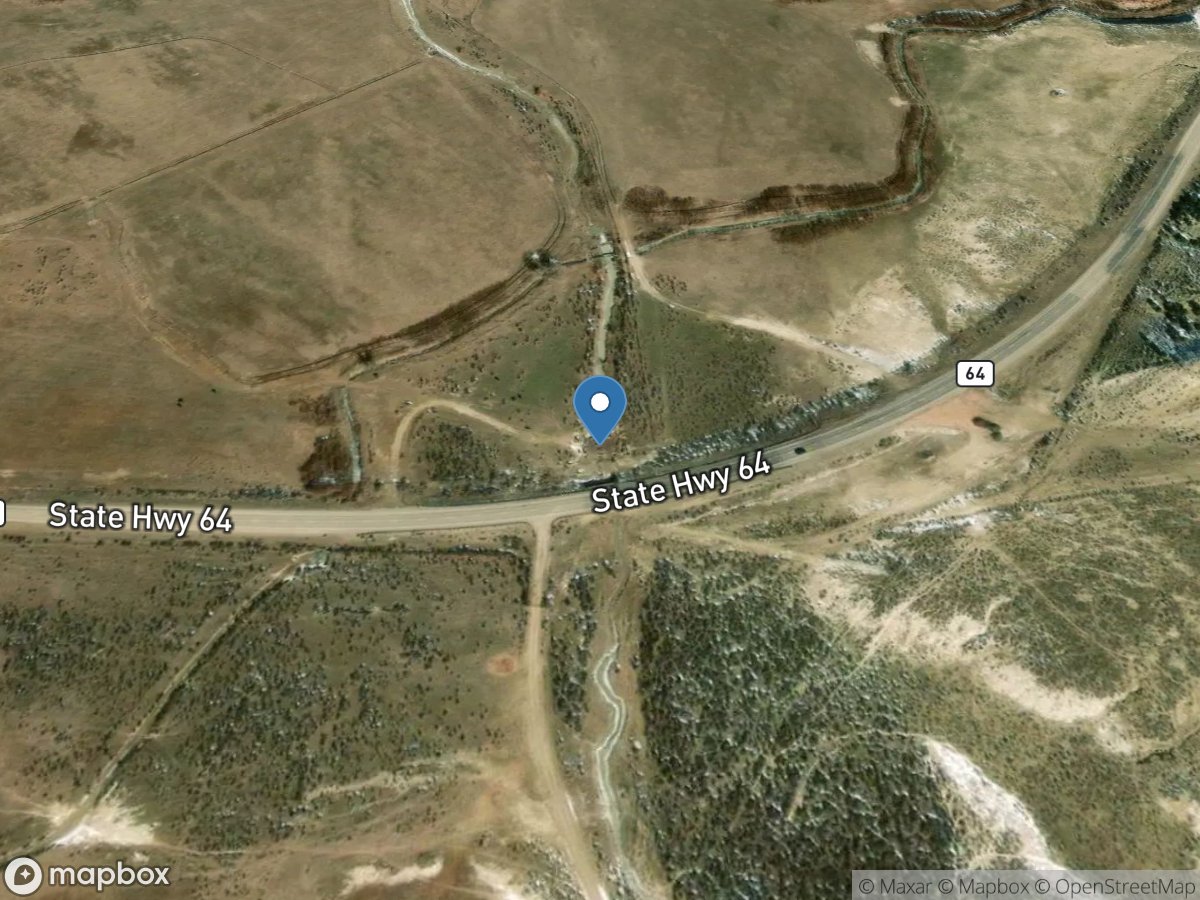
Map view
Colorado gauge network
Open a station for its latest available readings and source details.
USGS Gauges
Rivers & Streams
Directory results
Gauge stations
Search the loaded station list or select a marker on the map.
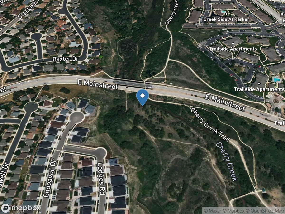
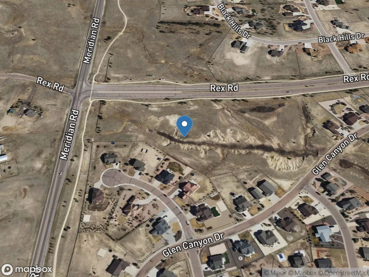
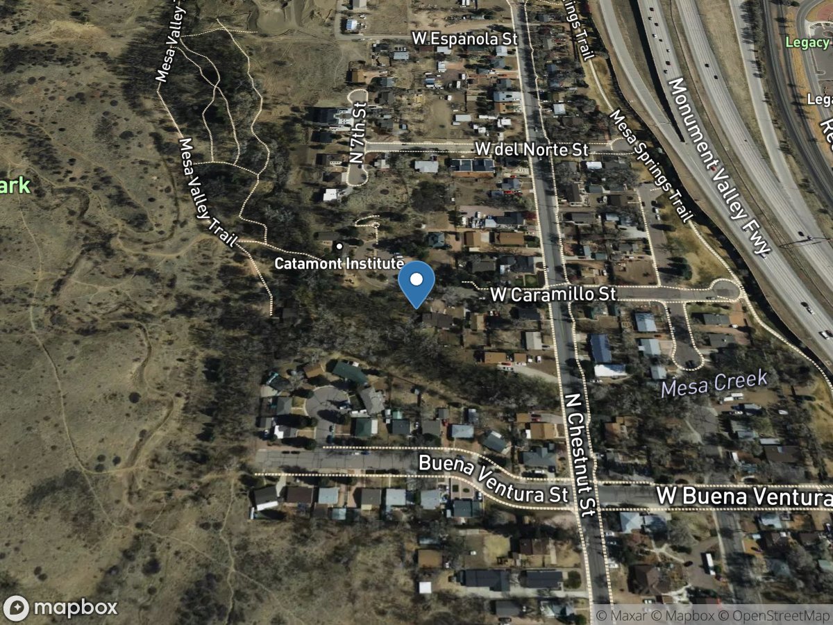
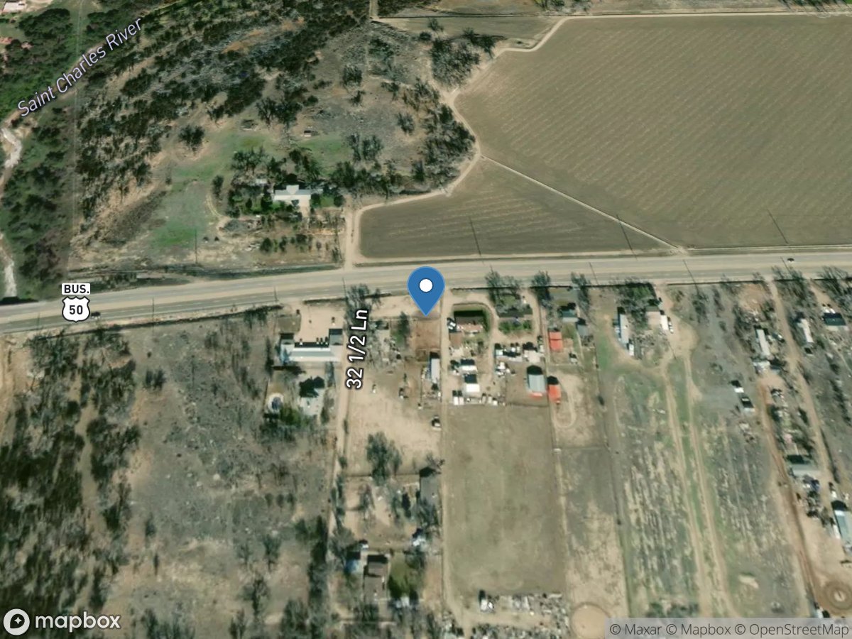
Site: 390755108420200
USGS Gauge
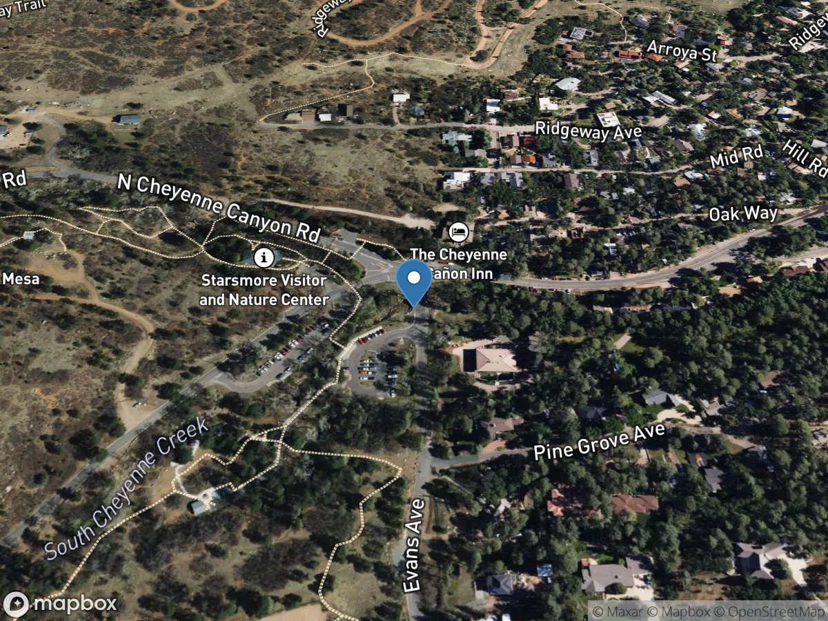
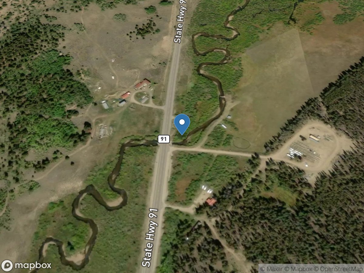
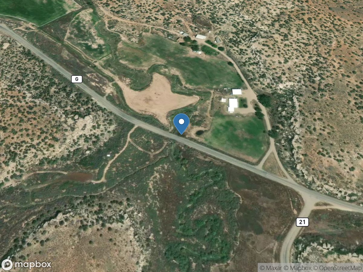
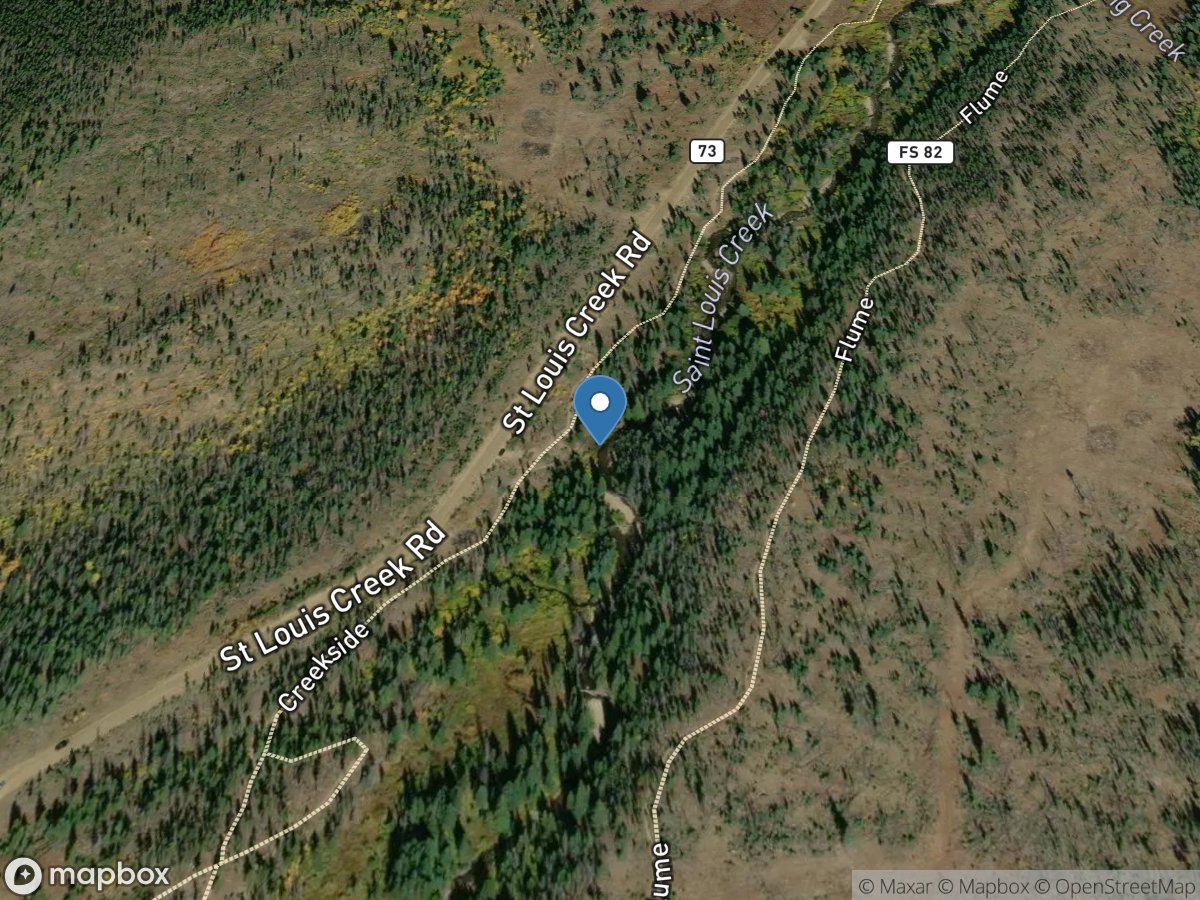
Site: 391119108384100
USGS Gauge
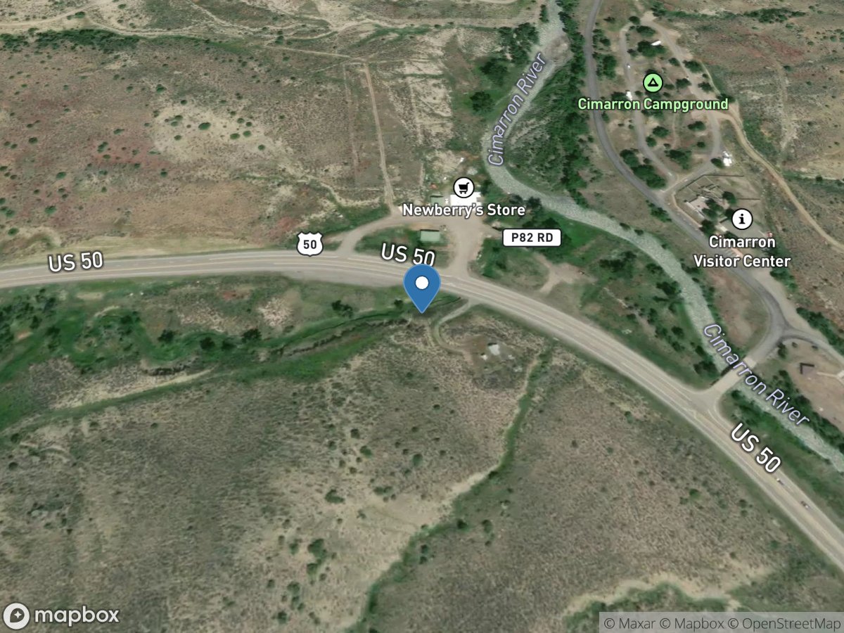
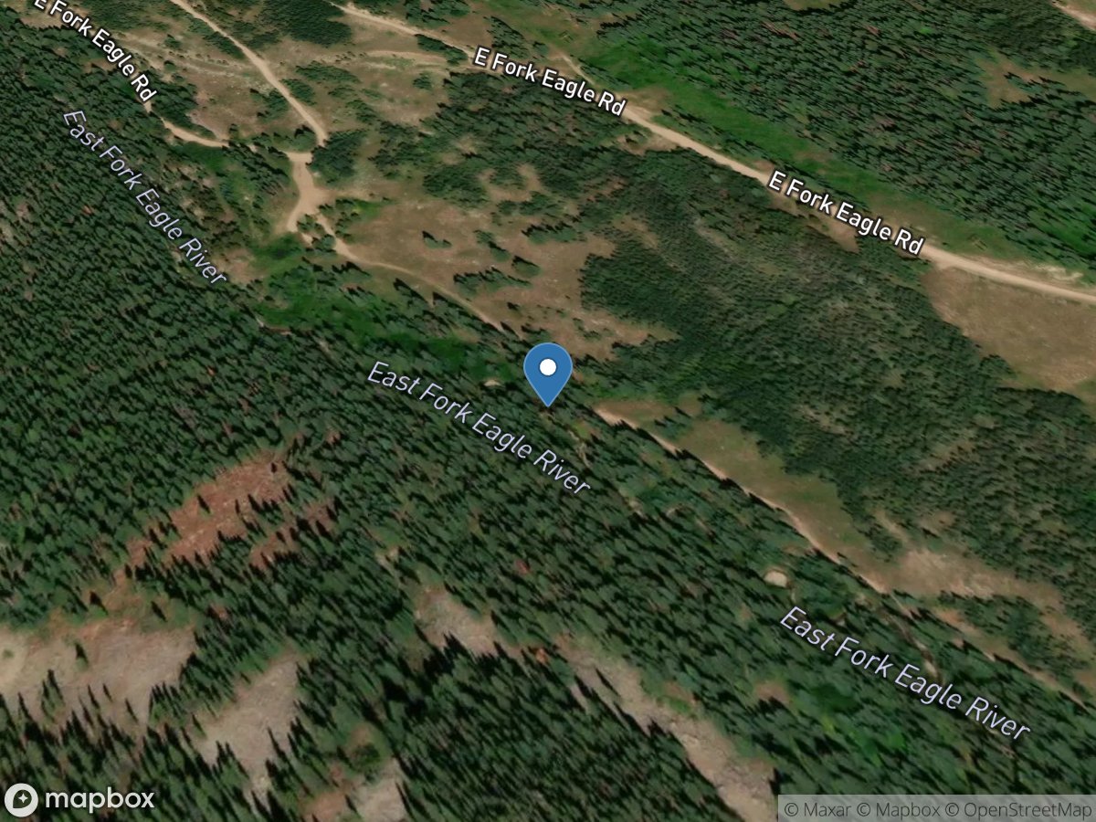
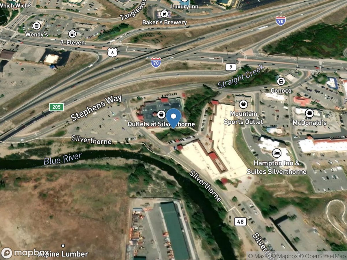
Site: 384434107432701
USGS Gauge
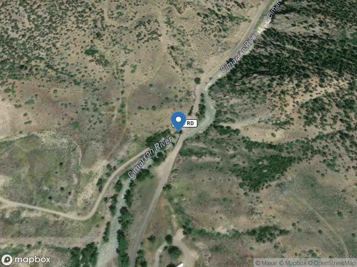
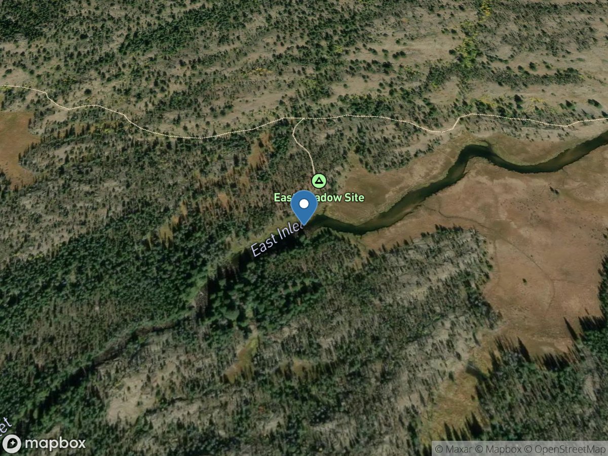
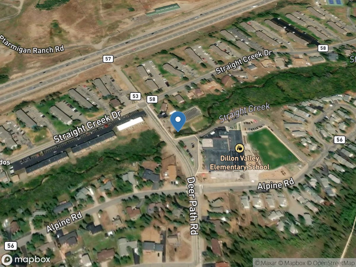
Site: 401723105400000
USGS Gauge
Site: 09361500
USGS Gauge
Site: 09358000
USGS Gauge
Site: 09359500
USGS Gauge
Site: 09362520
USGS Gauge
Site: 09359020
USGS Gauge
Site: 09363500
USGS Gauge
Site: 09132095
USGS Gauge
Site: 09132050
USGS Gauge
Site: 385629104344601
USGS Gauge
Site: 385808104352701
USGS Gauge
Site: 07119500
USGS Gauge

Site: 07099969
USGS Gauge
Site: 391208106211101
USGS Gauge
Site: 07099400
USGS Gauge
Site: 07096000
USGS Gauge
Site: 07119700
USGS Gauge
Site: 07086000
USGS Gauge
Site: 07135500
USGS Gauge
Site: 07133000
USGS Gauge
Site: 07124000
USGS Gauge
Site: 07099970
USGS Gauge
Site: 07094500
USGS Gauge
Site: 07097000
USGS Gauge
Site: 07083710
USGS Gauge
Site: 07087050
USGS Gauge
Site: 07130500
USGS Gauge
Site: 391202106211501
USGS Gauge
Site: 07099971
USGS Gauge
Site: 07109500
USGS Gauge
Site: 07134180
USGS Gauge
Site: 07081200
USGS Gauge
Site: 07091200
USGS Gauge
Site: 07120500
USGS Gauge
Site: 07093700
USGS Gauge
Site: 07099973
USGS Gauge
Site: 06710605
USGS Gauge
Site: 06710385
USGS Gauge
Site: 384921104501001
USGS Gauge
Site: 07105000
USGS Gauge
Site: 07099060
USGS Gauge
Site: 07099050
USGS Gauge
Site: 09067000
USGS Gauge
Site: 06826680
USGS Gauge
Site: 09044300
USGS Gauge
Site: 381312104321001
USGS Gauge
Site: 06720990
USGS Gauge
Site: 06720820
USGS Gauge
Site: 06710150
USGS Gauge
Site: 374239107322601
USGS Gauge
Site: 09153270
USGS Gauge
Site: 402115105375001
USGS Gauge
Site: 402114105350101
USGS Gauge
Site: 402059105355201
USGS Gauge
Site: 402054105361601
USGS Gauge
Site: 402123105355901
USGS Gauge
Site: 06744030
USGS Gauge
Site: 06736700
USGS Gauge
Site: 402554105202100
USGS Gauge
Site: 06741510
USGS Gauge
Site: 402249105282000
USGS Gauge
Site: 06741520
USGS Gauge
Site: 402245105302300
USGS Gauge
Site: 402533105124300
USGS Gauge
Site: 402123105370401
USGS Gauge
Site: 06855001
USGS Gauge
Site: 09066000
USGS Gauge
Site: 390113104335701
USGS Gauge
Site: 394548108280501
USGS Gauge
Site: 395126108210501
USGS Gauge
Site: 395126108205602
USGS Gauge
Site: 395127108204602
USGS Gauge
Site: 395128108204002
USGS Gauge
Site: 394746108262901
USGS Gauge
Site: 09053500
USGS Gauge
Site: 09046490
USGS Gauge
Site: 09050700
USGS Gauge
Site: 09057500
USGS Gauge
Site: 09046600
USGS Gauge
Site: 09034900
USGS Gauge
Site: 09066200
USGS Gauge
Site: 400052105144101
USGS Gauge
Site: 06730500
USGS Gauge
Site: 06730200
USGS Gauge
Site: 400041105150501
USGS Gauge
Site: 06752285
USGS Gauge
Site: 09068500
USGS Gauge
Site: 06739500
USGS Gauge
Site: 09032100
USGS Gauge
Site: 06752280
USGS Gauge
Site: 403123105445201
USGS Gauge
Site: 06752260
USGS Gauge
Site: 07103703
USGS Gauge
Site: 385108104522001
USGS Gauge
Site: 384840104481200
USGS Gauge
Site: 384610104441700
USGS Gauge
Site: 384720104455400
USGS Gauge
Site: 384458104423000
USGS Gauge
Site: 09085500
USGS Gauge
Site: 09359080
USGS Gauge
Site: 09359082
USGS Gauge
Site: 09359081
USGS Gauge
Site: 381633107054700
USGS Gauge
Site: 375333107385401
USGS Gauge
Site: 375433107382701
USGS Gauge
Site: 375344107384801
USGS Gauge
Site: 375352107384501
USGS Gauge
Site: 375322107391101
USGS Gauge
Site: 09358550
USGS Gauge
Site: 375328107385701
USGS Gauge
Site: 384439108092801
USGS Gauge
Site: 06713500
USGS Gauge
Site: 06713000
USGS Gauge
Site: 06712000
USGS Gauge
Site: 393109104464500
USGS Gauge
Site: 07105490
USGS Gauge
Site: 382632107332501
USGS Gauge
Site: 09127000
USGS Gauge
Site: 09126000
USGS Gauge
Site: 06715000
USGS Gauge
Site: 06719505
USGS Gauge
Site: 394131105481500
USGS Gauge
Site: 06716500
USGS Gauge
Site: 07105815
USGS Gauge
Site: 07105820
USGS Gauge
Site: 09110970
USGS Gauge
Site: 09111250
USGS Gauge
Site: 09118450
USGS Gauge
Site: 09106150
USGS Gauge
Site: 09106485
USGS Gauge
Site: 09071750
USGS Gauge
Site: 393259107194801
USGS Gauge
Site: 09085150
USGS Gauge
Site: 09060799
USGS Gauge
Site: 09092570
USGS Gauge
Site: 09034250
USGS Gauge
Site: 09010500
USGS Gauge
Site: 09085100
USGS Gauge
Site: 09019000
USGS Gauge
Site: 09015000
USGS Gauge
Site: 09085160
USGS Gauge
Site: 09095500
USGS Gauge
Site: 09163500
USGS Gauge
Site: 09070500
USGS Gauge
Site: 09019500
USGS Gauge
Site: 09058000
USGS Gauge
Site: 09306242
USGS Gauge
Site: 384952106103800
USGS Gauge
Site: 384822107411201
USGS Gauge
Site: 07103990
USGS Gauge
Site: 07103987
USGS Gauge
Site: 07103980
USGS Gauge
Site: 402552105300101
USGS Gauge
Site: 395927105505700
USGS Gauge
Site: 09065100
USGS Gauge
Site: 09081600
USGS Gauge
Site: 09147000
USGS Gauge
Site: 391459106224503
USGS Gauge
Site: 391459106224502
USGS Gauge
Site: 391459106224501
USGS Gauge
Site: 391459106224401
USGS Gauge
Site: 391500106224401
USGS Gauge
Site: 384620108022801
USGS Gauge
Site: 09090785
USGS Gauge
Site: 09169500
USGS Gauge
Site: 09166500
USGS Gauge
Site: 09165000
USGS Gauge
Site: 09171100
USGS Gauge
Site: 09179450
USGS Gauge
Site: 09168730
USGS Gauge
Site: 385257104494401
USGS Gauge
Site: 06711770
USGS Gauge
Site: 06822210
USGS Gauge
Site: 06709910
USGS Gauge
Site: 09127450
USGS Gauge
Site: 393627106264000
USGS Gauge
Site: 09067005
USGS Gauge
Site: 09069000
USGS Gauge
Site: 09070050
USGS Gauge
Site: 09063000
USGS Gauge
Site: 09070000
USGS Gauge
Site: 394220106431500
USGS Gauge
Site: 09067020
USGS Gauge
Site: 09064600
USGS Gauge
Site: 383915107571201
USGS Gauge
Site: 385835108271601
USGS Gauge
Site: 385925104362001
USGS Gauge
Site: 07079195
USGS Gauge
Site: 09061600
USGS Gauge
Site: 401411105470901
USGS Gauge
Site: 401406105472701
USGS Gauge
Site: 401416105465301
USGS Gauge
Site: 401407105462901
USGS Gauge
Site: 401413105473701
USGS Gauge
Site: 09013500
USGS Gauge
Site: 06708800
USGS Gauge
Site: 09112500
USGS Gauge
Site: 385520106570401
USGS Gauge
Site: 09112200
USGS Gauge
Site: 384301106505401
USGS Gauge
Site: 384611106520501
USGS Gauge
Site: 384609106520001
USGS Gauge
Site: 384435108091801
USGS Gauge
Site: 07079300
USGS Gauge
Site: 09110990
USGS Gauge
Site: 09087500
USGS Gauge
Site: 09025300
USGS Gauge
Site: 09242500
USGS Gauge
Site: 09246200
USGS Gauge
Site: 09246500
USGS Gauge
Site: 09056500
USGS Gauge
Site: 384532108153101
USGS Gauge
Site: 09151500
USGS Gauge
Site: 06720460
USGS Gauge
Site: 09238900
USGS Gauge
Site: 391322106225001
USGS Gauge
Site: 380646103125701
USGS Gauge
Site: 380553103335201
USGS Gauge
Site: 381840104361001
USGS Gauge
Site: 384407104441201
USGS Gauge
Site: 07106510
USGS Gauge
Site: 07105500
USGS Gauge
Site: 381601104355801
USGS Gauge
Site: 07106500
USGS Gauge
Site: 07105800
USGS Gauge
Site: 07103707
USGS Gauge
Site: 07105530
USGS Gauge
Site: 383854104413601
USGS Gauge
Site: 07103700
USGS Gauge
Site: 381754104361902
USGS Gauge
Site: 07106000
USGS Gauge
Site: 07106300
USGS Gauge
Site: 381653104361002
USGS Gauge
Site: 381532104353503
USGS Gauge
Site: 06730160
USGS Gauge
Site: 06727410
USGS Gauge
Site: 06727500
USGS Gauge
Site: 07096250
USGS Gauge
Site: 395648105483901
USGS Gauge
Site: 395632105481201
USGS Gauge
Site: 09023560
USGS Gauge

Site: 395706105485201
USGS Gauge
Site: 400453105554200
USGS Gauge
Site: 09027100
USGS Gauge
Site: 09022000
USGS Gauge
Site: 09024000
USGS Gauge
Site: 09023750
USGS Gauge
Site: 09033300
USGS Gauge
Site: 395624105475001
USGS Gauge
Site: 395607105472701
USGS Gauge
Site: 09027010
USGS Gauge
Site: 09025010
USGS Gauge
Site: 400550105581800
USGS Gauge
Site: 09080400
USGS Gauge
Site: 07103784
USGS Gauge
Site: 06758400
USGS Gauge
Site: 393743106171301
USGS Gauge
Site: 393846106184801
USGS Gauge
Site: 393834106230201
USGS Gauge
Site: 393826106213501
USGS Gauge
Site: 393819106215901
USGS Gauge
Site: 09066325
USGS Gauge
Site: 393830106224701
USGS Gauge
Site: 09066510
USGS Gauge
Site: 09065500
USGS Gauge
Site: 393815106180601
USGS Gauge
Site: 393843106193101
USGS Gauge
Site: 393837106200501
USGS Gauge
Site: 393836106203901
USGS Gauge
Site: 393832106182201
USGS Gauge
Site: 393832106210401
USGS Gauge
Site: 09066310
USGS Gauge
Site: 390654108320301
USGS Gauge
Site: 09014000
USGS Gauge
Site: 09014050
USGS Gauge
Site: 391022108395001
USGS Gauge
Site: 380752105282301
USGS Gauge
Site: 380954105292101
USGS Gauge
Site: 380513105275401
USGS Gauge
Site: 404417108524900
USGS Gauge
Site: 393339107150101
USGS Gauge
Site: 09071295
USGS Gauge
Site: 384527108031301
USGS Gauge
Site: 384517108152001
USGS Gauge
Site: 384458108134601
USGS Gauge
Site: 385610108264601
USGS Gauge
Site: 383413106562401
USGS Gauge
Site: 383447106553201
USGS Gauge
Site: 384428108092301
USGS Gauge
Site: 384410108095701
USGS Gauge
Site: 384632108010701
USGS Gauge
Site: 384524108050101
USGS Gauge
Site: 385909108282301
USGS Gauge
Site: 383103106594200
USGS Gauge
Site: 09144250
USGS Gauge
Site: 09114520
USGS Gauge
Site: 385617108264901
USGS Gauge
Site: 385224108253501
USGS Gauge
Site: 390147108325001
USGS Gauge
Site: 384525108052501
USGS Gauge
Site: 385105108223201
USGS Gauge
Site: 385025108224501
USGS Gauge
Site: 384910108194101
USGS Gauge
Site: 384406108120101
USGS Gauge
Site: 384334108104101
USGS Gauge
Site: 384515108044801
USGS Gauge
Site: 384445108071701
USGS Gauge
Site: 384458108061101
USGS Gauge
Site: 384538108154901
USGS Gauge
Site: 384536108153601
USGS Gauge
Site: 384429108075101
USGS Gauge
Site: 09128000
USGS Gauge
Site: 385620108265201
USGS Gauge
Site: 384350108101701
USGS Gauge
Site: 384401108100501
USGS Gauge
Site: 390132108315401
USGS Gauge
Site: 390107108323701
USGS Gauge
Site: 384636108011001
USGS Gauge
Site: 384600108023201
USGS Gauge
Site: 384510108055601
USGS Gauge
Site: 384517108054101
USGS Gauge
Site: 385843108271302
USGS Gauge
Site: 385851108270901
USGS Gauge
Site: 384622108004901
USGS Gauge
Site: 384502108041101
USGS Gauge
Site: 384946108224301
USGS Gauge
Site: 09152500
USGS Gauge
Site: 09114500
USGS Gauge
Site: 384537108030101
USGS Gauge
Site: 384500108061701
USGS Gauge
Site: 384625108010401
USGS Gauge
Site: 384601108023101
USGS Gauge
Site: 07083200
USGS Gauge
Site: 07083000
USGS Gauge
Site: 391210106212201
USGS Gauge
Site: 09032200
USGS Gauge
Site: 06711570
USGS Gauge
Site: 06711575
USGS Gauge
Site: 06613880
USGS Gauge
Site: 09124010
USGS Gauge
Site: 09361000
USGS Gauge
Site: 09064000
USGS Gauge
Site: 380959103303301
USGS Gauge
Site: 09132960
USGS Gauge
Site: 07116500
USGS Gauge
Site: 09074500
USGS Gauge
Site: 09073721
USGS Gauge
Site: 09032300
USGS Gauge
Site: 401716105395001
USGS Gauge
Site: 390809108413101
USGS Gauge
Site: 07105900
USGS Gauge

Site: 06746110
USGS Gauge
Site: 385617108264801
USGS Gauge
Site: 07103960
USGS Gauge
Site: 385821104481601
USGS Gauge
Site: 09047700
USGS Gauge
Site: 88080001
USGS Gauge
Site: 09067200
USGS Gauge
Site: 391504106223201
USGS Gauge
Site: 391439106224901
USGS Gauge
Site: 391436106225001
USGS Gauge
Site: 391434106225101
USGS Gauge
Site: 391431106225401
USGS Gauge
Site: 391427106225601
USGS Gauge
Site: 391502106223501
USGS Gauge
Site: 391407106225401
USGS Gauge
Site: 391458106223701
USGS Gauge
Site: 391323106224401
USGS Gauge
Site: 391320106224501
USGS Gauge
Site: 391456106223801
USGS Gauge
Site: 391454106223901
USGS Gauge
Site: 391454106223902
USGS Gauge
Site: 391453106224101
USGS Gauge
Site: 391215106212901
USGS Gauge
Site: 391208106211601
USGS Gauge
Site: 391449106224201
USGS Gauge
Site: 391445106224501
USGS Gauge
Site: 391444106224701
USGS Gauge
Site: 391443106224701
USGS Gauge
Site: 09124500
USGS Gauge
Site: 09123450
USGS Gauge
Site: 09171240
USGS Gauge

Site: 06711780
USGS Gauge
Site: 09078475
USGS Gauge
Site: 390741108333501
USGS Gauge
Site: 390523108362901
USGS Gauge
Site: 06714800
USGS Gauge
Site: 06709740
USGS Gauge
Site: 400352105304301
USGS Gauge
Site: 06724970
USGS Gauge
Site: 400341105302901
USGS Gauge
Site: 07103791
USGS Gauge
Site: 06719560
USGS Gauge
Site: 09135920
USGS Gauge
Site: 09079450
USGS Gauge
Site: 09073005
USGS Gauge
Site: 09032050
USGS Gauge
Site: 06711555
USGS Gauge
Site: 06719840
USGS Gauge
Site: 06711515
USGS Gauge
Site: 06719845
USGS Gauge
Site: 384048104510401
USGS Gauge
Site: 07105932
USGS Gauge
Site: 07105940
USGS Gauge
Site: 09153220
USGS Gauge
Site: 09260000
USGS Gauge
Site: 09253000
USGS Gauge
Site: 09352800
USGS Gauge
Site: 09354500
USGS Gauge
Site: 09353800
USGS Gauge
Site: 09166950
USGS Gauge
Site: 383857107575801
USGS Gauge
Site: 383633107560701
USGS Gauge
Site: 383926107593001
USGS Gauge

Site: 383946107595301
USGS Gauge
Site: 383408107535101
USGS Gauge
Site: 391435106225001
USGS Gauge
Site: 383619104520401
USGS Gauge
Site: 390623108350901
USGS Gauge
Site: 09371000
USGS Gauge
Site: 09076000
USGS Gauge
Site: 382420106245401
USGS Gauge
Site: 09044800
USGS Gauge
Site: 09371520
USGS Gauge
Site: 09372000
USGS Gauge
Site: 09032990
USGS Gauge
Site: 09033010
USGS Gauge
Site: 384037104472001
USGS Gauge
Site: 385124104495701
USGS Gauge
Site: 06614800
USGS Gauge
Site: 09066300
USGS Gauge
Site: 09029995
USGS Gauge
Site: 09073791
USGS Gauge
Site: 09359010
USGS Gauge
Site: 393427106052100
USGS Gauge
Site: 09063900
USGS Gauge
Site: 393353107220601
USGS Gauge
Site: 393455107220701
USGS Gauge
Site: 375431107383101
USGS Gauge
Site: 375431107383001
USGS Gauge
Site: 09041900
USGS Gauge
Site: 382802107513301
USGS Gauge
Site: 07103780
USGS Gauge
Site: 385732104500301
USGS Gauge
Site: 07103970
USGS Gauge
Site: 385203104494301
USGS Gauge
Site: 07104905
USGS Gauge
Site: 07104000
USGS Gauge
Site: 07103790
USGS Gauge
Site: 390036104500301
USGS Gauge
Site: 385124104501301
USGS Gauge
Site: 09371492
USGS Gauge
Site: 09041090
USGS Gauge
Site: 09041400
USGS Gauge
Site: 06751145
USGS Gauge
Site: 06751150
USGS Gauge
Site: 400048107332401
USGS Gauge
Site: 400329107192801
USGS Gauge
Site: 401226105340100
USGS Gauge
Site: 402953105313701
USGS Gauge
Site: 09073891
USGS Gauge
Site: 06718550
USGS Gauge
Site: 08227510
USGS Gauge
Site: 09078141
USGS Gauge
Site: 06736000
USGS Gauge
Site: 06735750
USGS Gauge
Site: 06751490
USGS Gauge
Site: 375351107373901
USGS Gauge
Site: 375343107384701
USGS Gauge
Site: 375344107384201
USGS Gauge
Site: 375347107374501
USGS Gauge
Site: 375345107374801
USGS Gauge
Site: 375352107373602
USGS Gauge
Site: 375342107383401
USGS Gauge
Site: 375340107382802
USGS Gauge
Site: 375339107382302
USGS Gauge
Site: 375338107381702
USGS Gauge
Site: 375339107380901
USGS Gauge
Site: 375339107380201
USGS Gauge
Site: 375342107375801
USGS Gauge
Site: 375343107375401
USGS Gauge
Site: 375342107384801
USGS Gauge
Site: 385553107243301
USGS Gauge
Site: 09136100
USGS Gauge
Site: 09134100
USGS Gauge
Site: 09132500
USGS Gauge
Site: 400158107313101
USGS Gauge
Site: 09303000
USGS Gauge
Site: 395835107380401
USGS Gauge
Site: 400239107283301
USGS Gauge
Site: 400238107294901
USGS Gauge
Site: 400351107244701
USGS Gauge
Site: 09302400
USGS Gauge
Site: 401540105470801
USGS Gauge
Site: 401530105475401
USGS Gauge
Site: 401534105473101
USGS Gauge
Site: 401525105473601
USGS Gauge
Site: 401530105474801
USGS Gauge
Site: 401536105472301
USGS Gauge
Site: 06620000
USGS Gauge
Site: 09113980
USGS Gauge
Site: 09113500
USGS Gauge
Site: 09093500
USGS Gauge
Site: 384604107570701
USGS Gauge
Site: 09306222
USGS Gauge
Site: 09306200
USGS Gauge
Site: 400202108153501
USGS Gauge
Site: 400207108153201
USGS Gauge
Site: 400217108153901
USGS Gauge
Site: 400213108153401
USGS Gauge
Site: 400218108153301
USGS Gauge
Site: 400217108152701
USGS Gauge
Site: 400222108152201
USGS Gauge
Site: 400228108152601
USGS Gauge
Site: 400233108152501
USGS Gauge
Site: 400240108152301
USGS Gauge
Site: 400248108152301
USGS Gauge
Site: 400254108151901
USGS Gauge
Site: 400258108151601
USGS Gauge
Site: 400302108151401
USGS Gauge
Site: 09349800
USGS Gauge
Site: 09058500
USGS Gauge
Site: 09059500
USGS Gauge
Site: 09105000
USGS Gauge
Site: 06709530
USGS Gauge
Site: 06709000
USGS Gauge
Site: 395930105510700
USGS Gauge
Site: 07124200
USGS Gauge
Site: 07126485
USGS Gauge
Site: 07124410
USGS Gauge
Site: 07128500
USGS Gauge
Site: 07126300
USGS Gauge
Site: 395840105472700
USGS Gauge
Site: 09033100
USGS Gauge
Site: 09032000
USGS Gauge
Site: 06822700
USGS Gauge
Site: 09153300
USGS Gauge
Site: 385956104500101
USGS Gauge
Site: 07103792
USGS Gauge

Site: 09062600
USGS Gauge
Site: 08251500
USGS Gauge
Site: 384047104510301
USGS Gauge
Site: 391953108130201
USGS Gauge
Site: 09073300
USGS Gauge
Site: 09072550
USGS Gauge
Site: 09085000
USGS Gauge
Site: 09076300
USGS Gauge
Site: 09073400
USGS Gauge
Site: 09081000
USGS Gauge
Site: 07105945
USGS Gauge
Site: 09060770
USGS Gauge
Site: 391436106225101
USGS Gauge
Site: 391433106225401
USGS Gauge
Site: 391430106225501
USGS Gauge
Site: 391429106225701
USGS Gauge
Site: 391501106223601
USGS Gauge
Site: 391500106223601
USGS Gauge
Site: 391500106223701
USGS Gauge
Site: 391459106223801
USGS Gauge
Site: 391458106223802
USGS Gauge
Site: 391457106223701
USGS Gauge
Site: 391458106223801
USGS Gauge
Site: 391456106223901
USGS Gauge
Site: 391455106223901
USGS Gauge
Site: 391454106224001
USGS Gauge
Site: 391454106224101
USGS Gauge
Site: 06714400
USGS Gauge
Site: 06714500
USGS Gauge
Site: 402435104371001
USGS Gauge
Site: 08227000
USGS Gauge
Site: 09163492
USGS Gauge
Site: 09051300
USGS Gauge
Site: 09371010
USGS Gauge
Site: 09342500
USGS Gauge
Site: 09346400
USGS Gauge
Site: 09342600
USGS Gauge
Site: 09174600
USGS Gauge
Site: 09177000
USGS Gauge
Site: 09172500
USGS Gauge
Site: 07105600
USGS Gauge
Site: 06756350
USGS Gauge
Site: 394839104570300
USGS Gauge
Site: 383325104424801
USGS Gauge
Site: 374319105424200
USGS Gauge
Site: 06714360
USGS Gauge
Site: 385106106571000
USGS Gauge
Site: 385239106583700
USGS Gauge
Site: 385508107021201
USGS Gauge
Site: 385441107015101
USGS Gauge
Site: 385450107015700
USGS Gauge
Site: 385407107010901
USGS Gauge
Site: 385436107013401
USGS Gauge
Site: 09255000
USGS Gauge
Site: 384658106521901
USGS Gauge
Site: 09129600
USGS Gauge
Site: 09047500
USGS Gauge
Site: 393552106004700
USGS Gauge
Site: 06729470
USGS Gauge
Site: 09035900
USGS Gauge
Site: 09171310
USGS Gauge
Site: 09304000
USGS Gauge
Site: 09303400
USGS Gauge
Site: 09303500
USGS Gauge
Site: 06700000
USGS Gauge
Site: 06707525
USGS Gauge
Site: 06714215
USGS Gauge
Site: 06711565
USGS Gauge
Site: 06721000
USGS Gauge
Site: 06759500
USGS Gauge
Site: 394851104570701
USGS Gauge
Site: 06701900
USGS Gauge
Site: 06710247
USGS Gauge
Site: 09109850
USGS Gauge
Site: 395659105494700
USGS Gauge
Site: 06730525
USGS Gauge
Site: 07108900
USGS Gauge
Site: 09026500
USGS Gauge
Site: 393737106040000
USGS Gauge
Site: 09051050
USGS Gauge
Site: 383637104531301
USGS Gauge
Site: 384551107591901
USGS Gauge
Site: 09143500
USGS Gauge
Site: 09143000
USGS Gauge
Site: 382625104353701
USGS Gauge
Site: 06696980
USGS Gauge
Site: 380745105305101
USGS Gauge
Site: 09106800
USGS Gauge
Site: 09110000
USGS Gauge
Site: 09107000
USGS Gauge
Site: 09109000
USGS Gauge
Site: 07099233
USGS Gauge
Site: 07099238
USGS Gauge
Site: 392950106080901
USGS Gauge
Site: 09050100
USGS Gauge
Site: 381525105352601
USGS Gauge
Site: 09107500
USGS Gauge
Site: 401733105392404
USGS Gauge
Site: 07121500
USGS Gauge
Site: 394329104490101
USGS Gauge
Site: 383126106475600
USGS Gauge
Site: 09119000
USGS Gauge
Site: 09115500
USGS Gauge
Site: 09032400
USGS Gauge
Site: 09040500
USGS Gauge
Site: 382629104493000
USGS Gauge
Site: 06711040
USGS Gauge
Site: 07099230
USGS Gauge
Site: 09063440
USGS Gauge
Site: 07099215
USGS Gauge
Site: 382628104493700
USGS Gauge
Site: 09147500
USGS Gauge
Site: 09149500
USGS Gauge
Site: 09147025
USGS Gauge
Site: 09146020
USGS Gauge
Site: 09146200
USGS Gauge
Site: 06822585
USGS Gauge
Site: 06822550
USGS Gauge
Site: 06760230
USGS Gauge
Site: 385911104351101
USGS Gauge
Site: 384500108061901
USGS Gauge
Site: 384438108072301
USGS Gauge
Site: 384432108074001
USGS Gauge
Site: 384701104465101
USGS Gauge
Site: 372308104081801
USGS Gauge
Site: 09352900
USGS Gauge
Site: 07126200
USGS Gauge
Site: 09025000
USGS Gauge
Site: 09031700
USGS Gauge
Site: 09031600
USGS Gauge
Site: 385822104360601
USGS Gauge
Site: 385800104513101
USGS Gauge
Site: 385254104560401
USGS Gauge
Site: 385309104561101
USGS Gauge
Site: 385344104560601
USGS Gauge
Site: 06711618
USGS Gauge
Site: 373556103575201
USGS Gauge
Site: 402645105301701
USGS Gauge
Site: 385848104362801
USGS Gauge
Site: 06716100
USGS Gauge
Site: 394624105475700
USGS Gauge
Site: 07103800
USGS Gauge
Site: 07103797
USGS Gauge
Site: 07103900
USGS Gauge
Site: 09170800
USGS Gauge
Site: 06708690
USGS Gauge
Site: 06708600
USGS Gauge
Site: 383728107572001
USGS Gauge
Site: 384439108093201
USGS Gauge
Site: 09304200
USGS Gauge
Site: 400210107530201
USGS Gauge
Site: 395650107435600
USGS Gauge
Site: 395830107483601
USGS Gauge
Site: 395643107461200
USGS Gauge
Site: 400535108485700
USGS Gauge
Site: 395756107384601
USGS Gauge
Site: 09306290
USGS Gauge
Site: 09304800
USGS Gauge
Site: 09304115
USGS Gauge
Site: 09304500
USGS Gauge
Site: 385841108271101
USGS Gauge
Site: 07134990
USGS Gauge
Site: 382532104461801
USGS Gauge
Site: 07103100
USGS Gauge
Site: 09035700
USGS Gauge
Site: 09035500
USGS Gauge
Site: 09038500
USGS Gauge
Site: 09036000
USGS Gauge
Site: 09037500
USGS Gauge
Site: 09108250
USGS Gauge
Site: 09020500
USGS Gauge
Site: 09019850
USGS Gauge
Site: 09021000
USGS Gauge
Site: 391240106223801
USGS Gauge
Site: 403047105454101
USGS Gauge
Site: 384522104433101
USGS Gauge
Site: 384048104504901
USGS Gauge
Site: 09244490
USGS Gauge
Site: 09237450
USGS Gauge
Site: 09260050
USGS Gauge
Site: 402840107004200
USGS Gauge
Site: 09239500
USGS Gauge
Site: 09247600
USGS Gauge
Site: 402544106493600
USGS Gauge
Site: 09240020
USGS Gauge
Site: 09237500
USGS Gauge
Site: 09251000
USGS Gauge
Site: 400712108214601
USGS Gauge
Site: 09306255
USGS Gauge
Site: 383130104424201
USGS Gauge