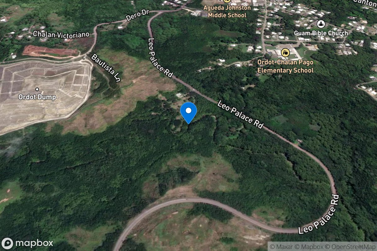
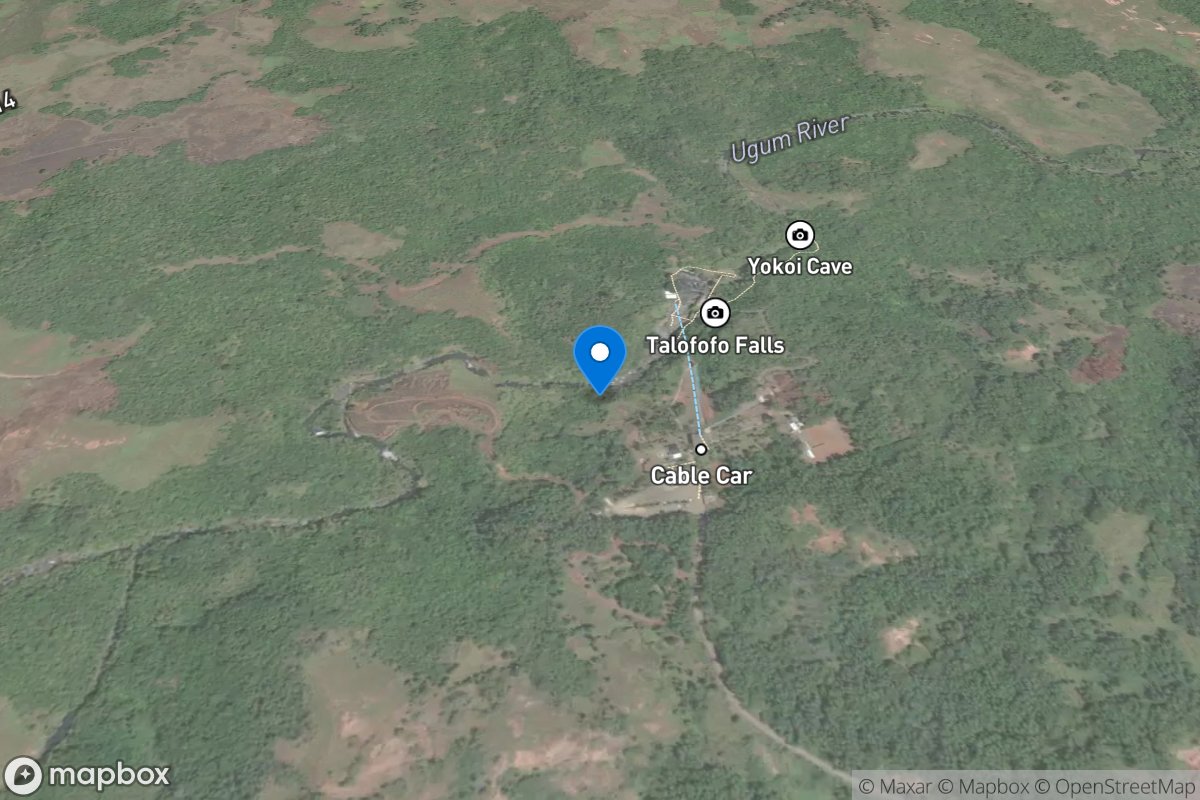
How's Your
River
×
Search
Explore
Explore Map
Water Bodies
Gauges
Access Sites
Tidal Stations
Whitewater
Pricing
Login
Sign Up
USGS Gauge Stations
Real-time water level and flow data from 15,028 USGS monitoring stations across the United States
15,028
Total Gauges
53
States/Territories
6
Gauges in GU
Select State:
-- Choose a State --
Alaska (168)
Alabama (241)
Arkansas (196)
Arizona (254)
California (881)
Colorado (732)
Connecticut (100)
District of Columbia (7)
Delaware (38)
Florida (631)
Georgia (453)
Guam (6)
Hawaii (134)
Iowa (225)
Idaho (293)
Illinois (334)
Indiana (260)
Kansas (285)
Kentucky (235)
Louisiana (370)
Massachusetts (170)
Maryland (175)
Maine (76)
Michigan (308)
Minnesota (260)
Missouri (314)
Mississippi (242)
Montana (340)
North Carolina (291)
North Dakota (147)
Nebraska (162)
New Hampshire (64)
New Jersey (421)
New Mexico (269)
Nevada (266)
New York (454)
Ohio (408)
Oklahoma (199)
Oregon (477)
Pennsylvania (532)
Puerto Rico (112)
Rhode Island (58)
South Carolina (271)
South Dakota (242)
Tennessee (191)
Texas (883)
Utah (216)
Virginia (290)
Vermont (90)
Washington (580)
Wisconsin (365)
West Virginia (172)
Wyoming (137)
Clear Filter
Radar
Rivers
Counties
Coverage
Verizon
AT&T
T-Mobile
US Cellular
Dark
Satellite
Terrain
USGS Gauges
Rivers & Streams
Guam
6 gauges
Almagosa River near Agat, Guam
Site: 16848100
USGS Gauge
Imong River near Agat, Guam
Site: 16847000
USGS Gauge
La Sa Fua River near Umatac, Guam
Site: 16809600
USGS Gauge
Maulap River near Agat, Guam
Site: 16848500
USGS Gauge
Pago River near Ordot, Guam
Site: 16865000
USGS Gauge
Ugum River above Talofofo Falls, near Talofofo, Guam
Site: 16854500
USGS Gauge