USGS Gauge Stations
Find water level and flow observations from 15,029 USGS monitoring stations across the United States.
15,029
Total Gauges
53
States/Territories
293
Gauges in ID
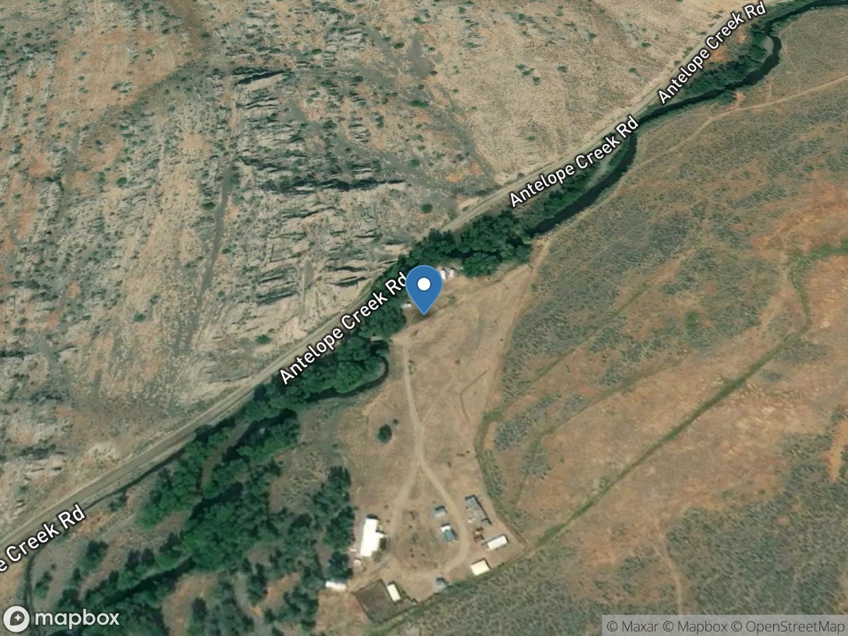
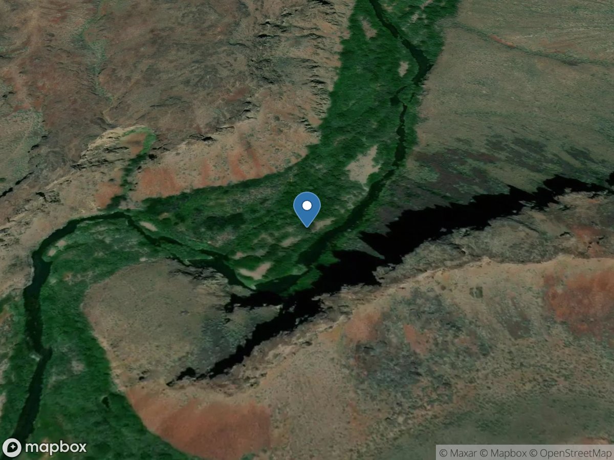
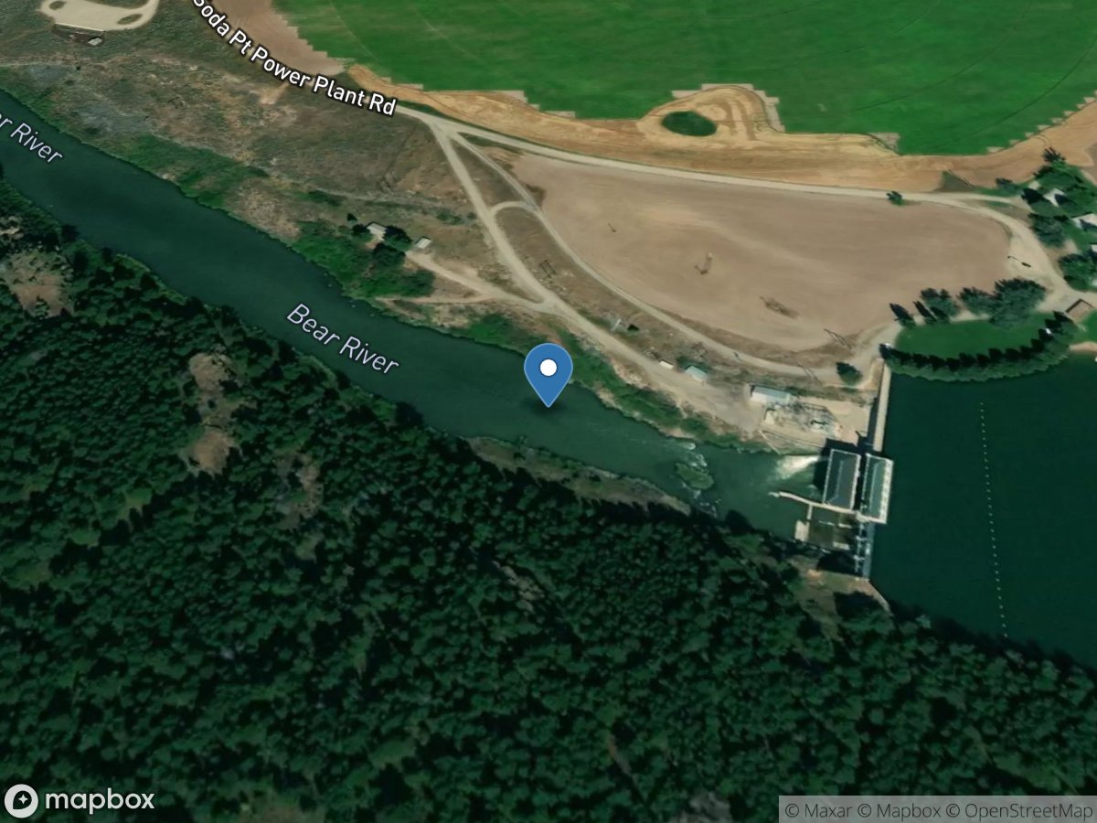
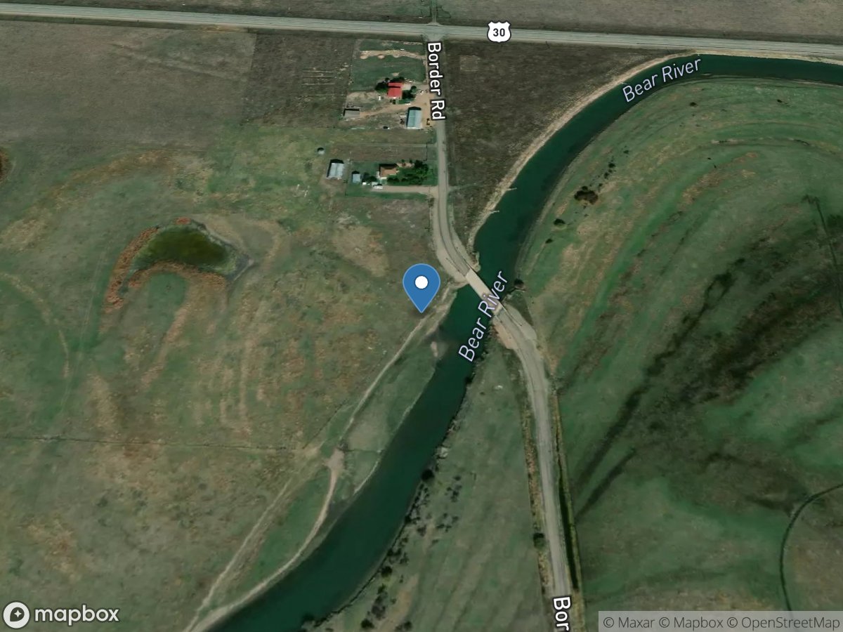
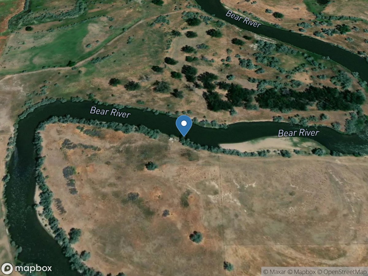
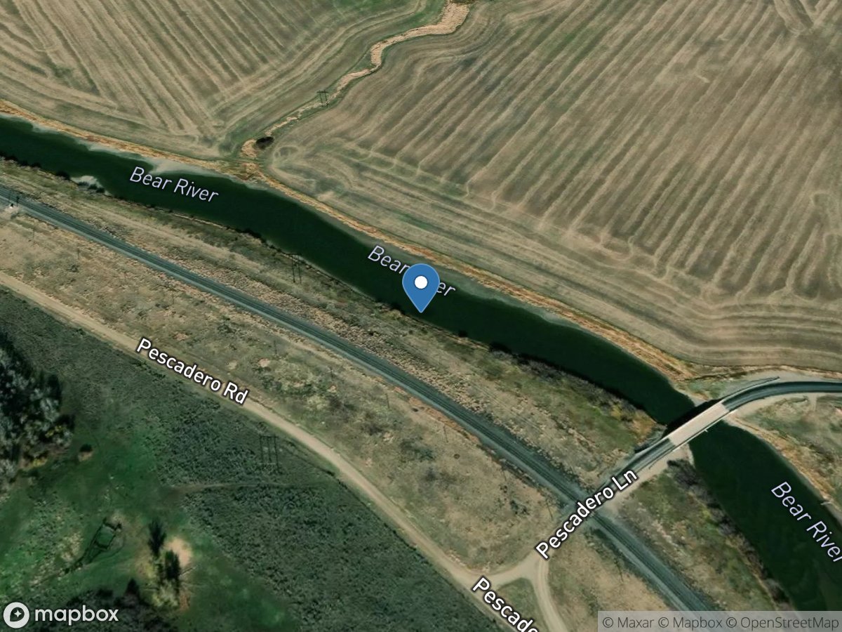
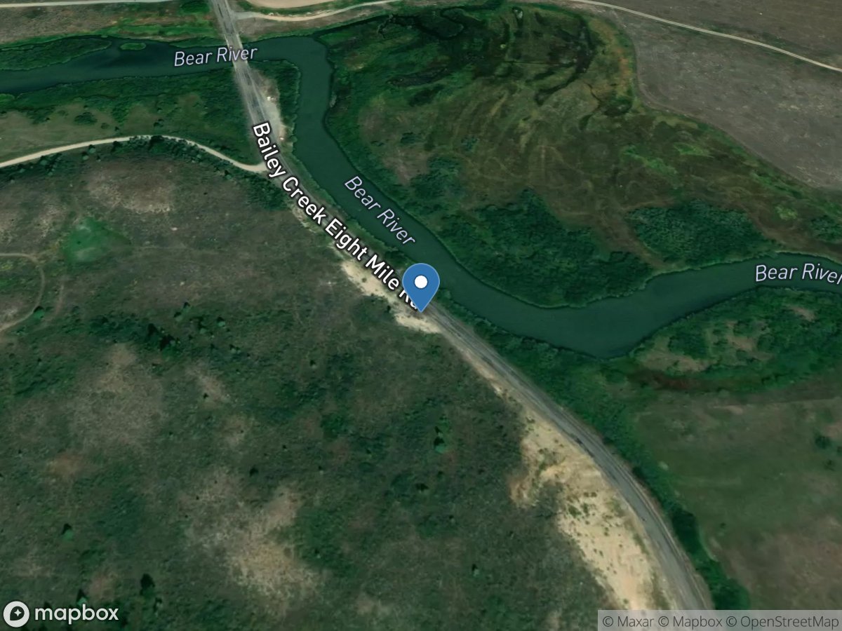
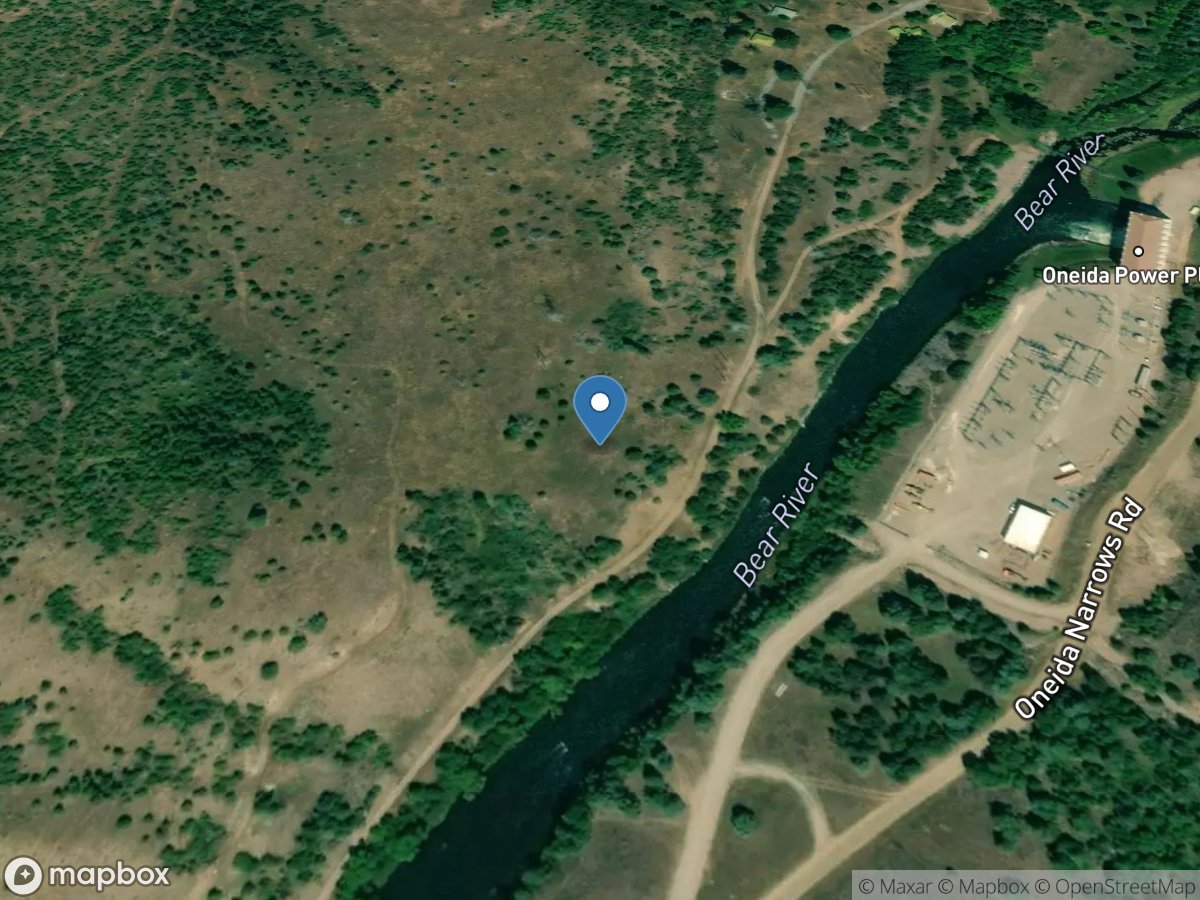
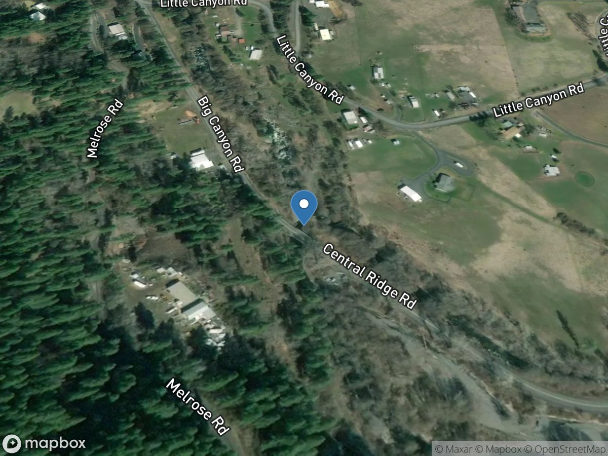
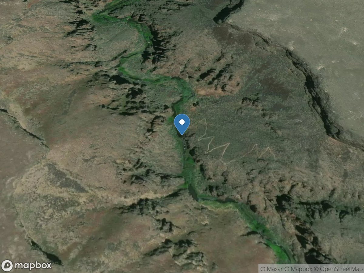
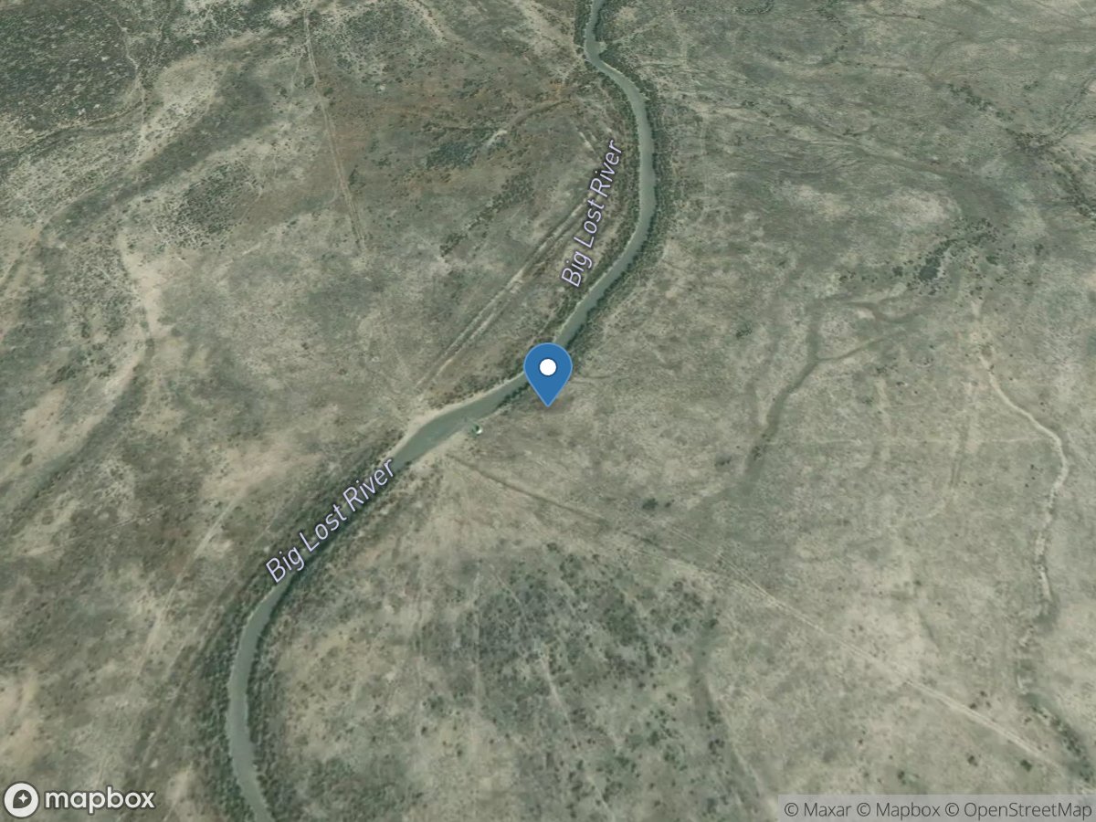
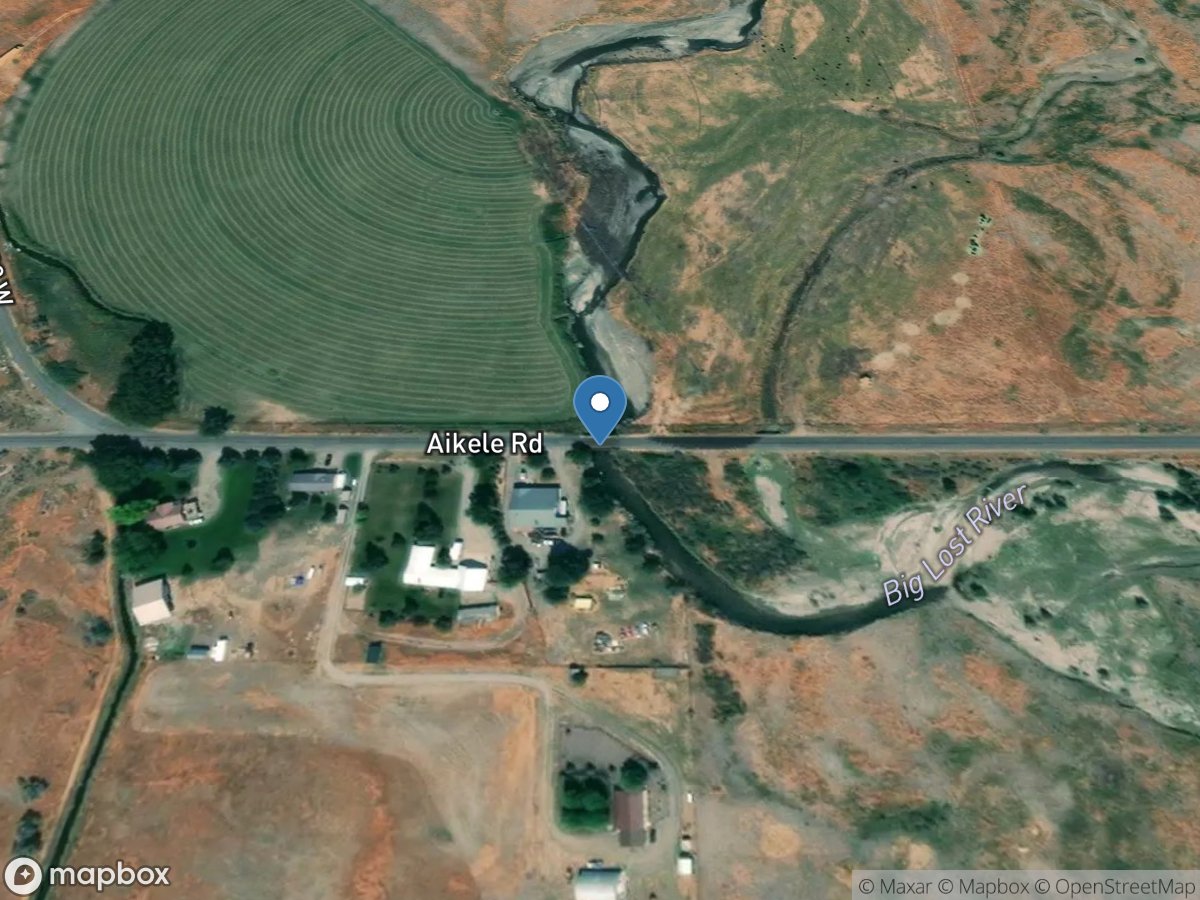
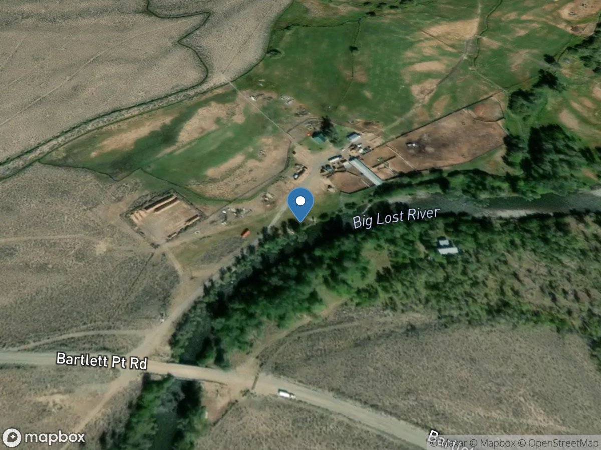
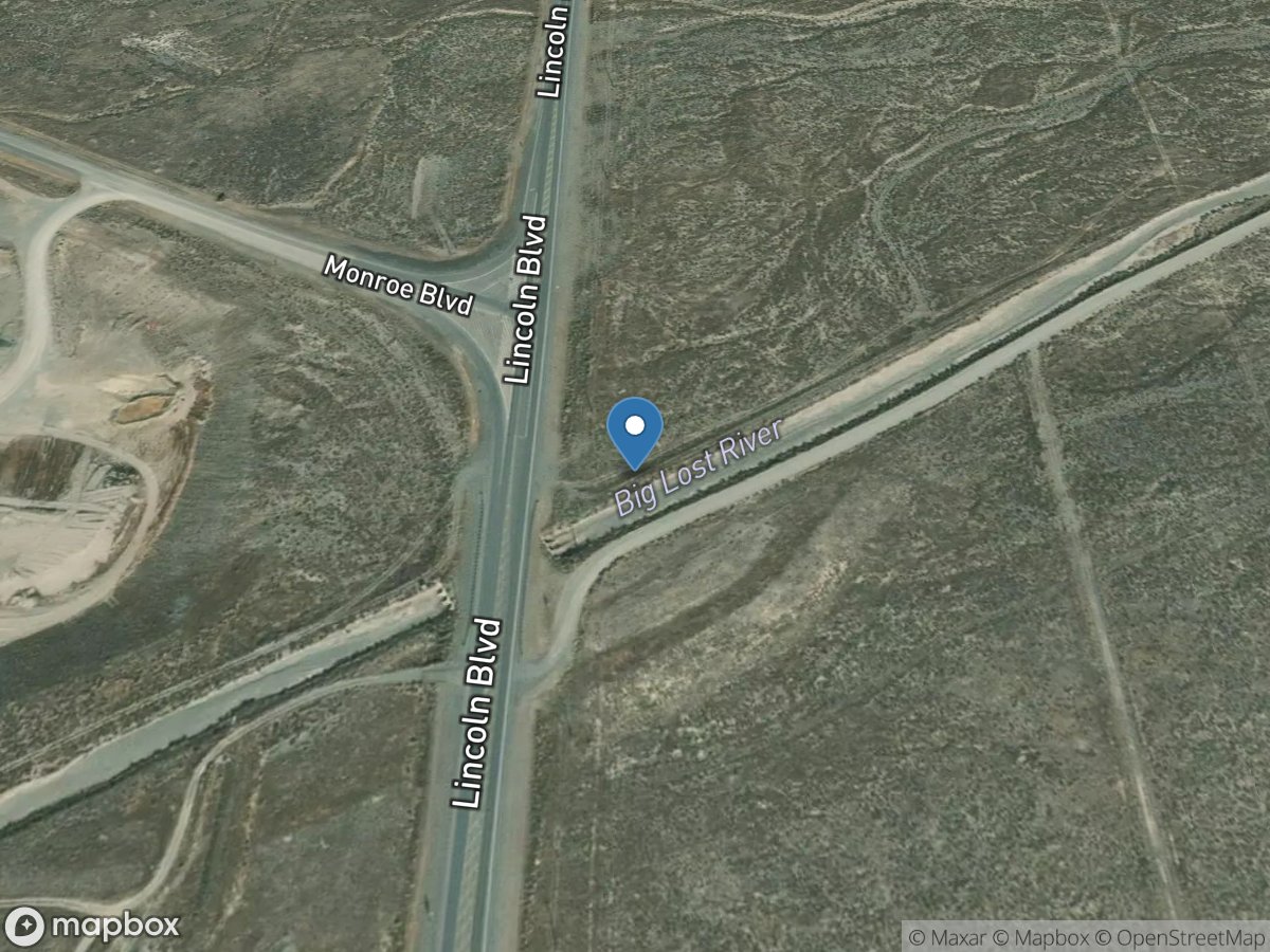
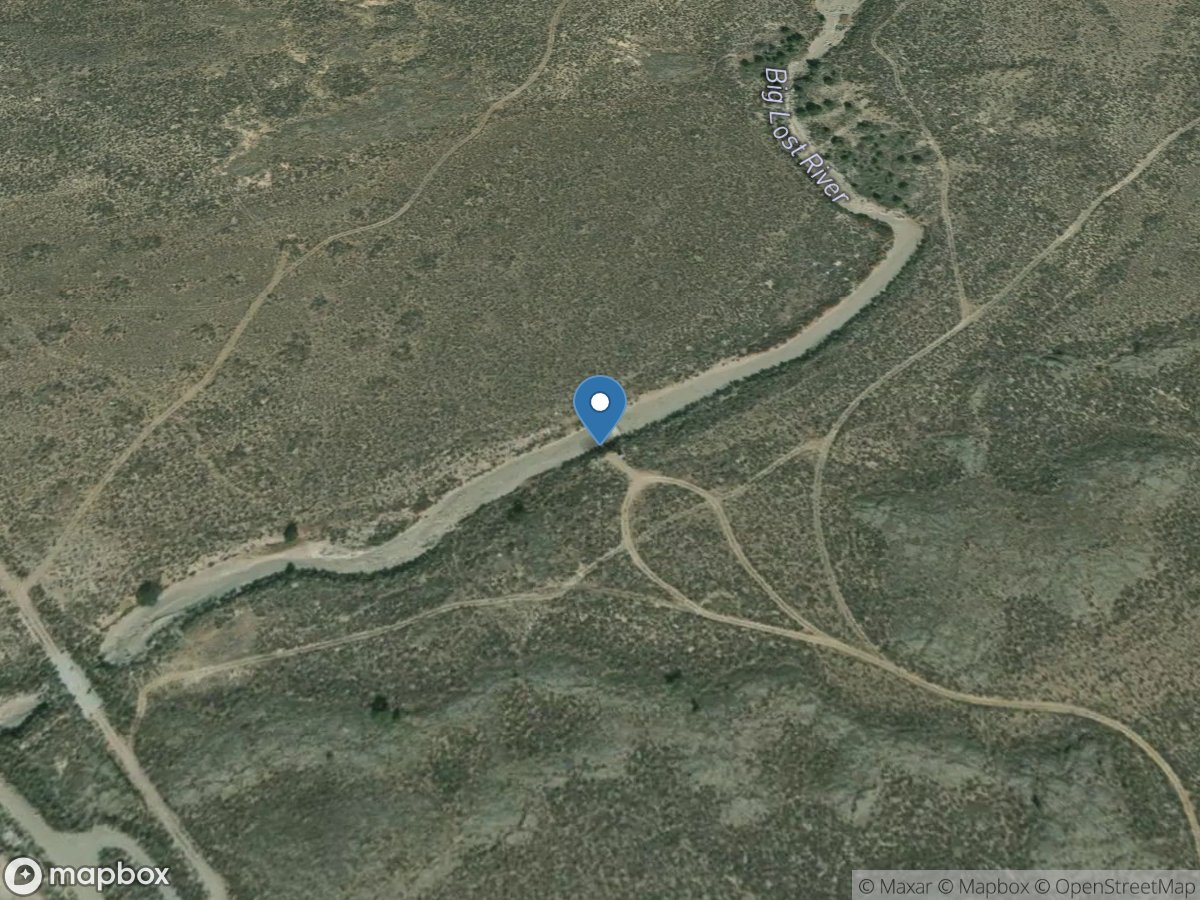
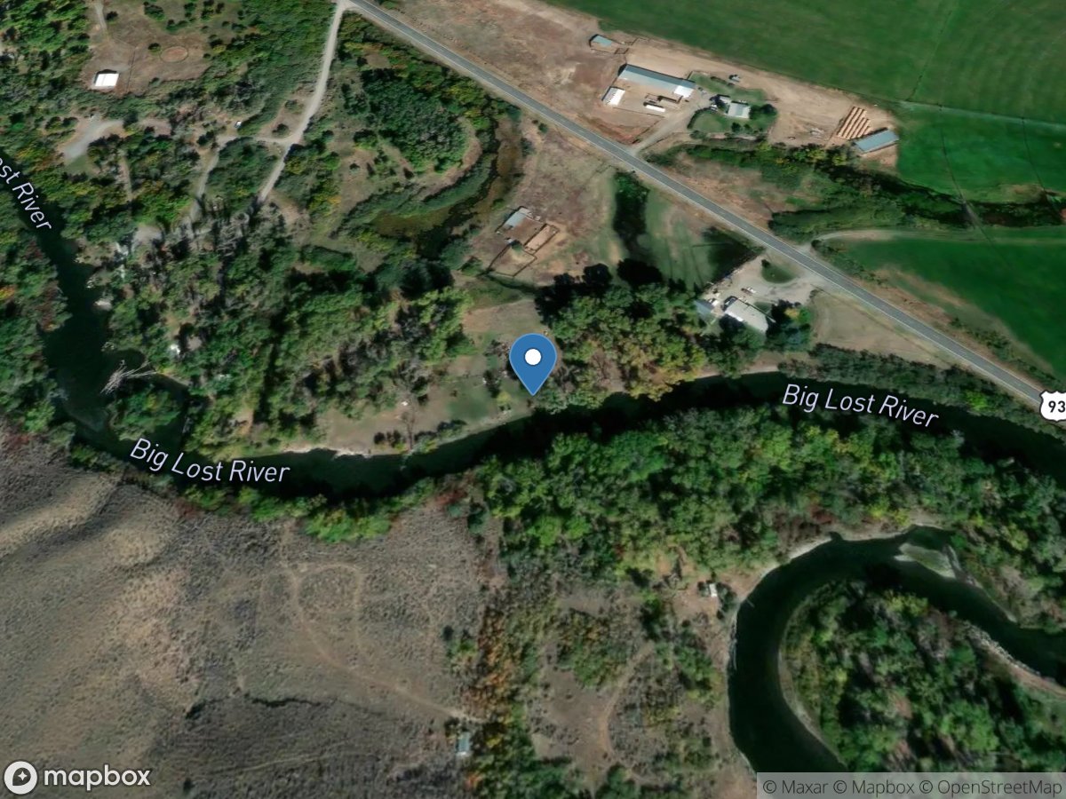
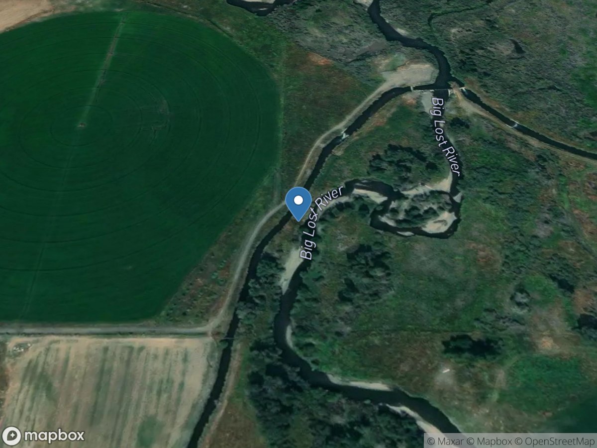
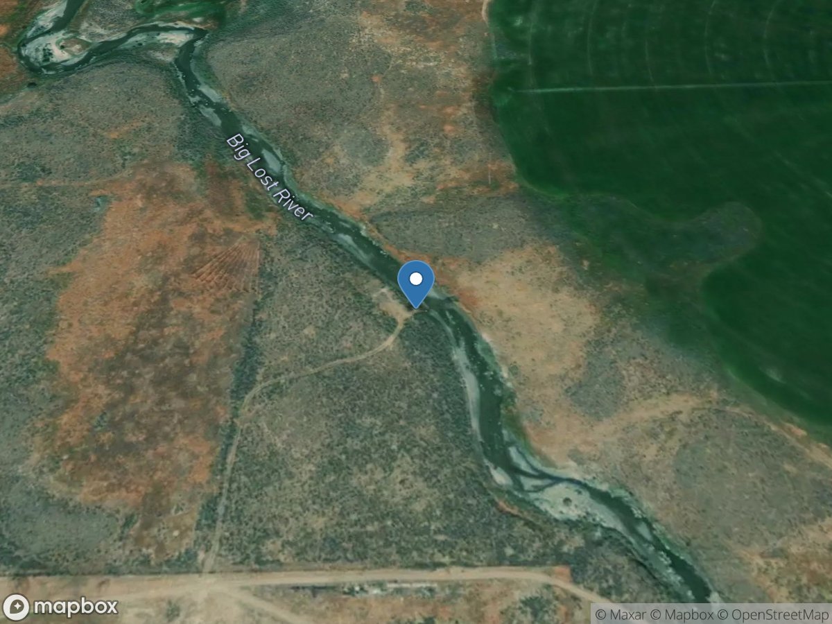
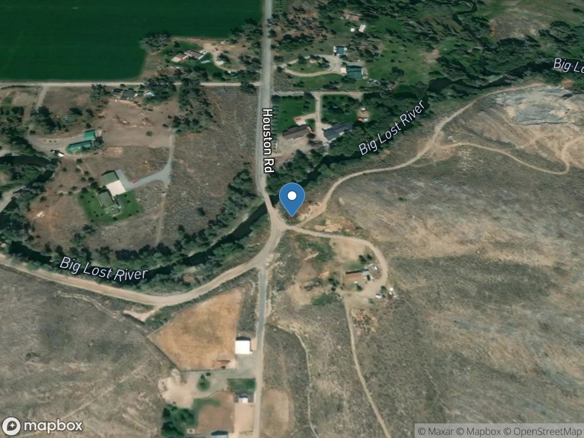
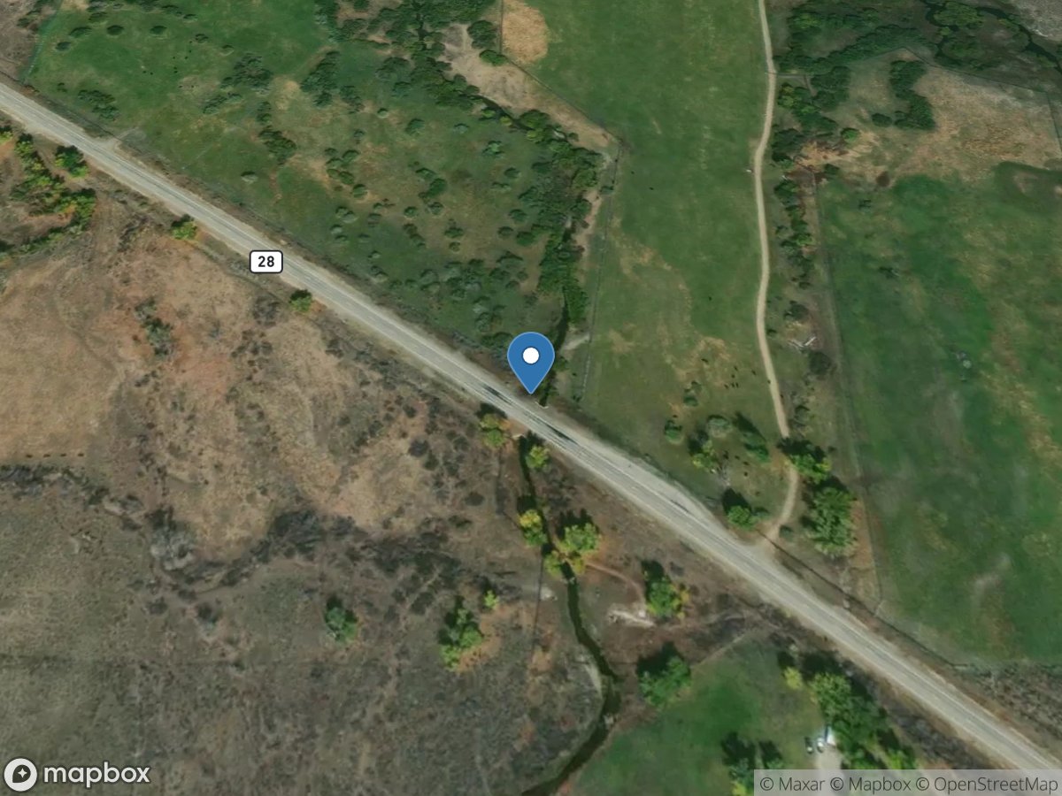
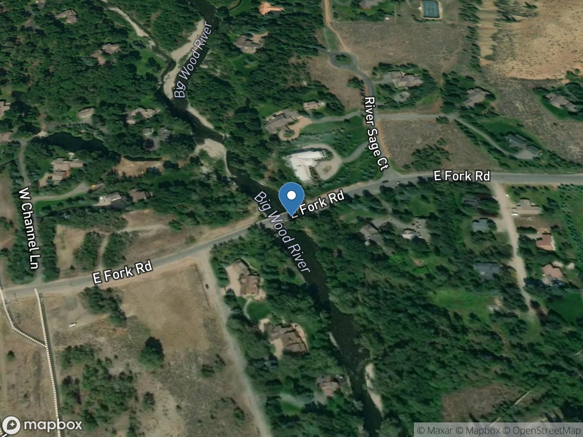
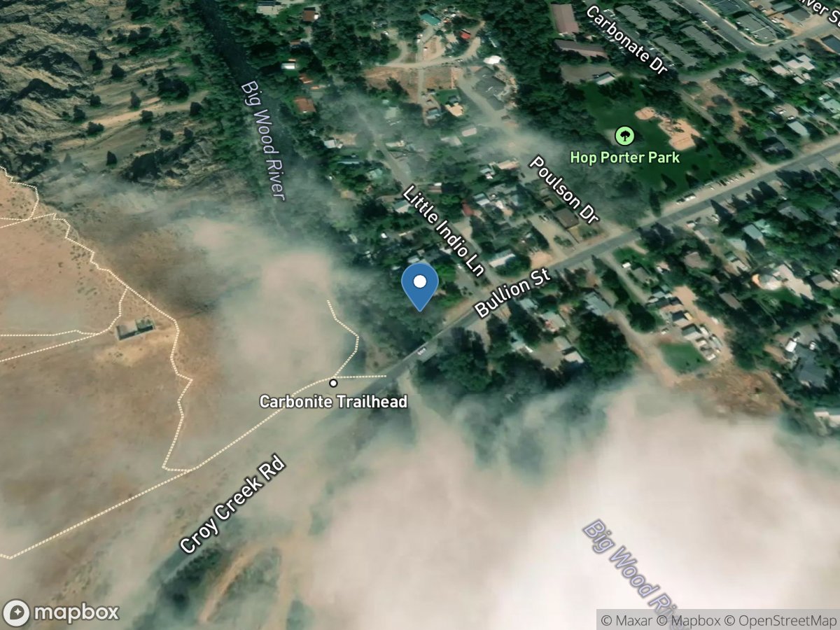
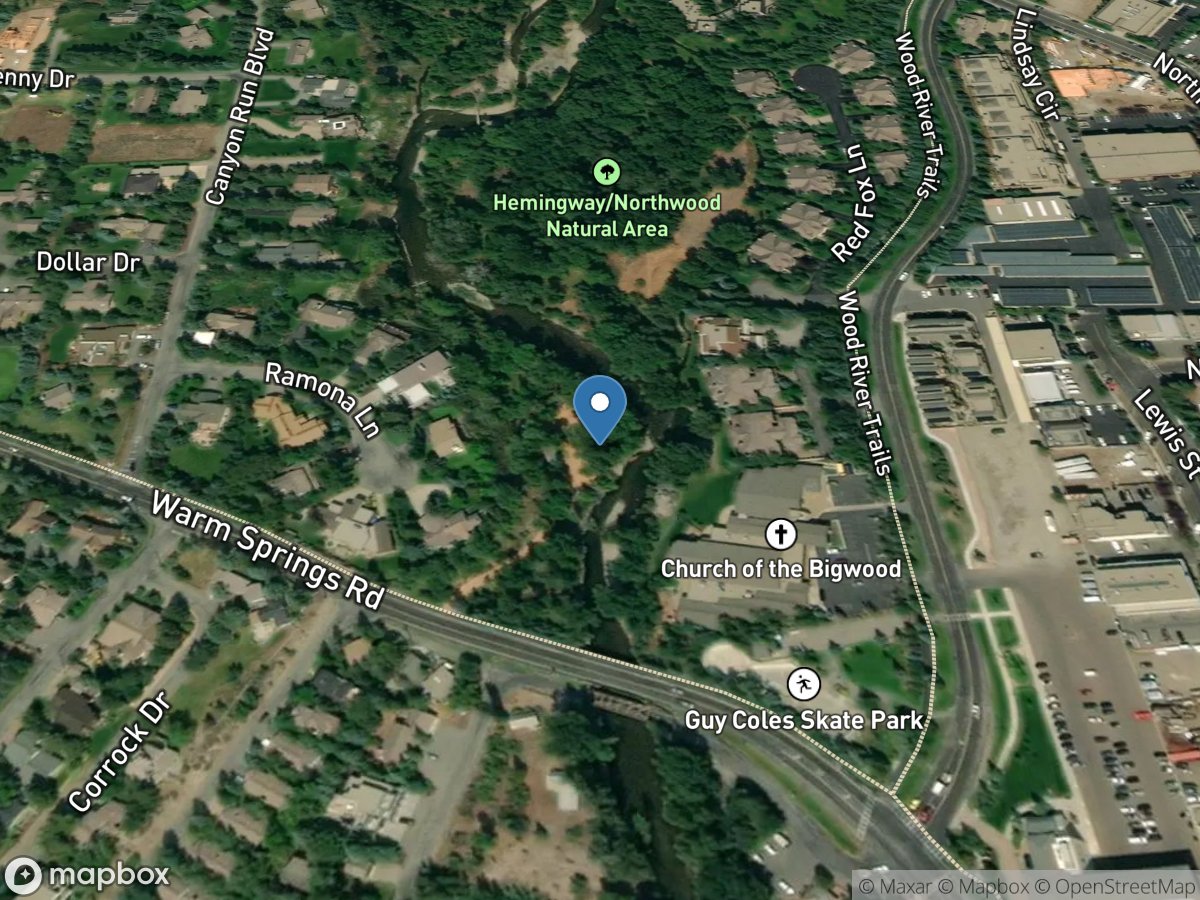
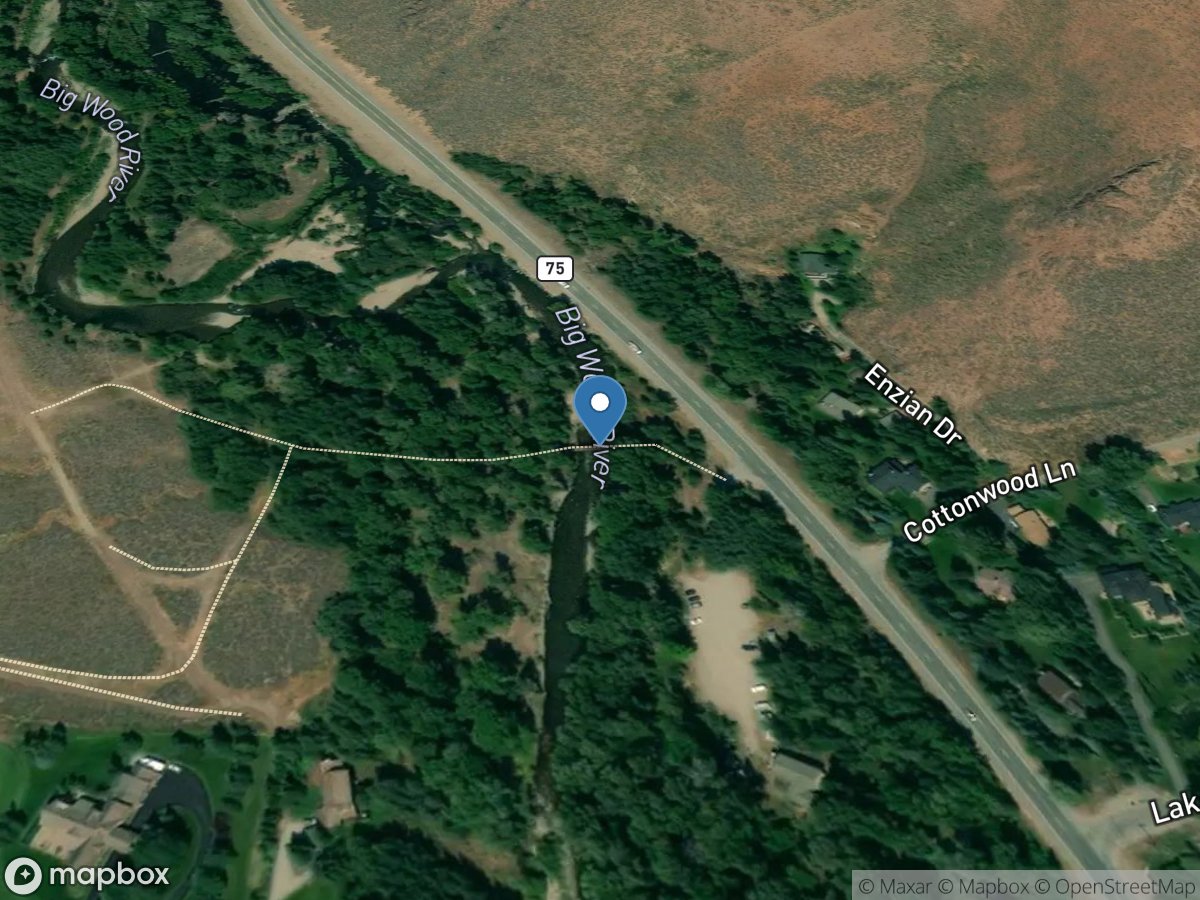
Map view
Idaho gauge network
Open a station for its latest available readings and source details.
USGS Gauges
Rivers & Streams
Directory results
Gauge stations
Page 1 of 13. Search this page or select any station on the map.