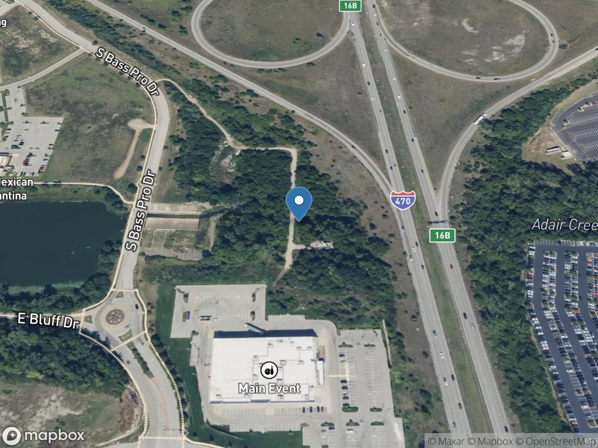
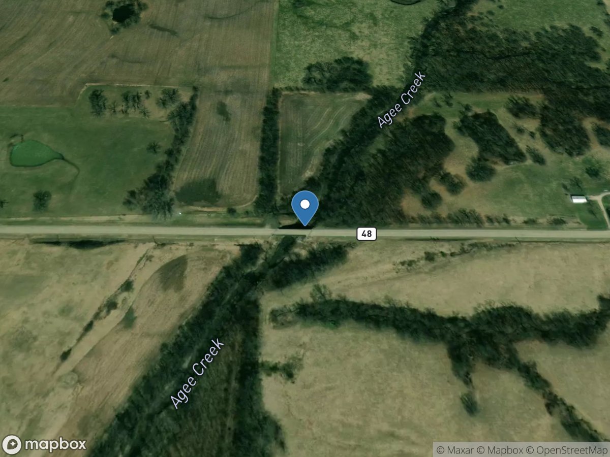
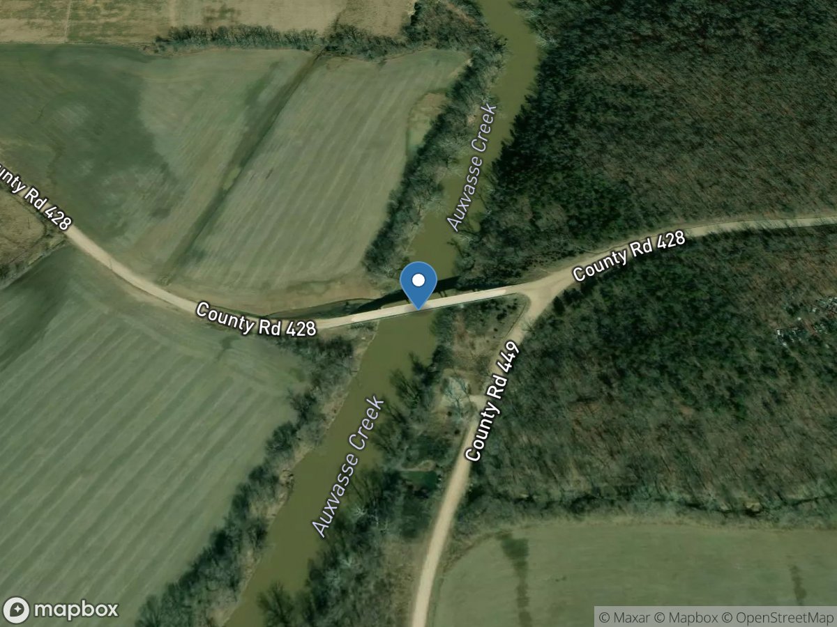
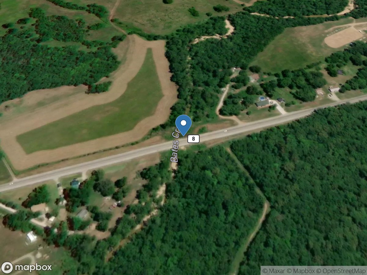
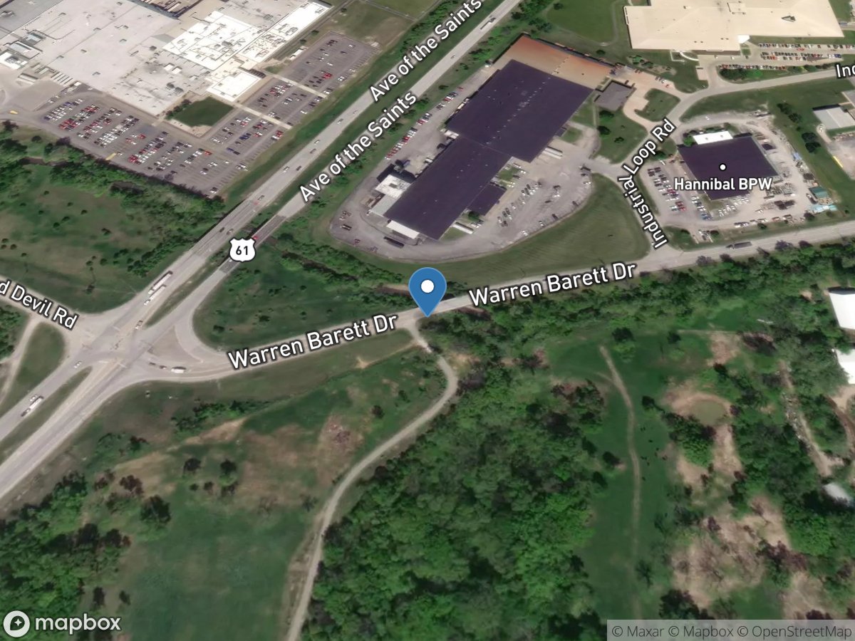
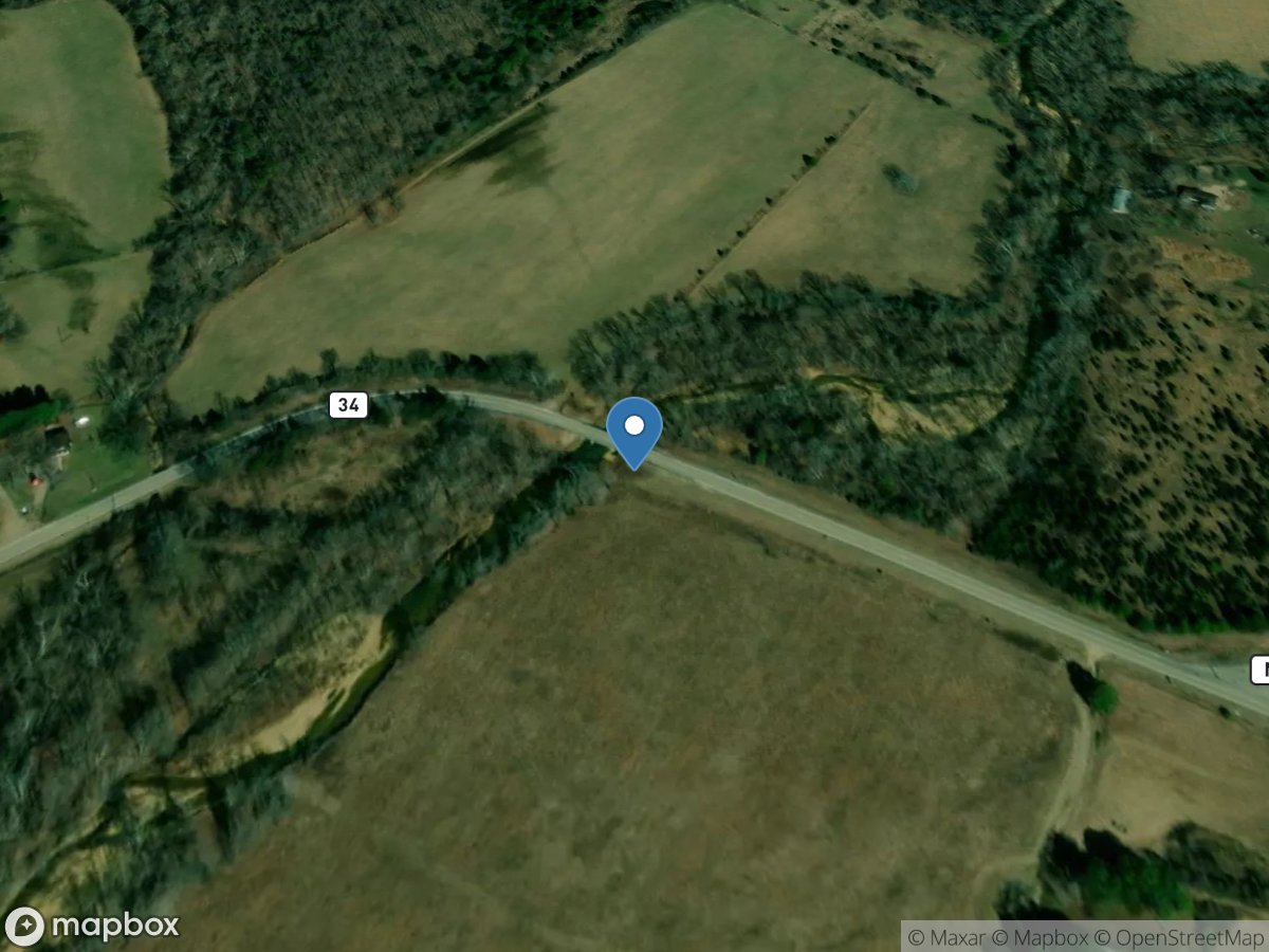
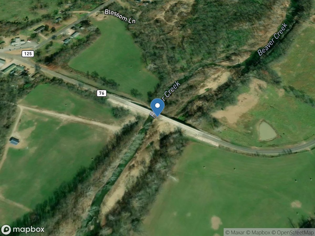
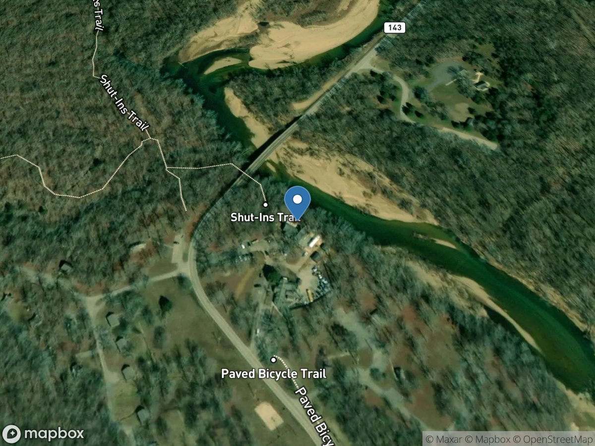
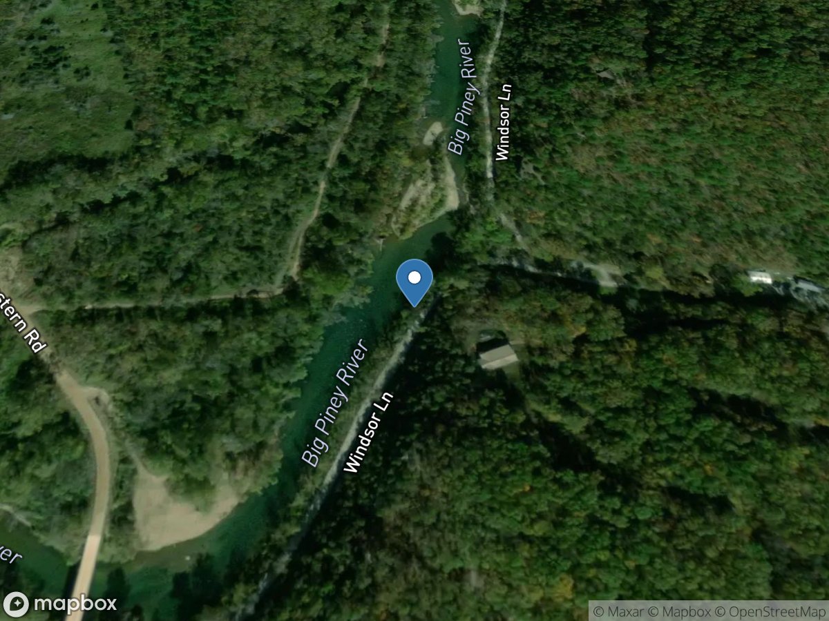
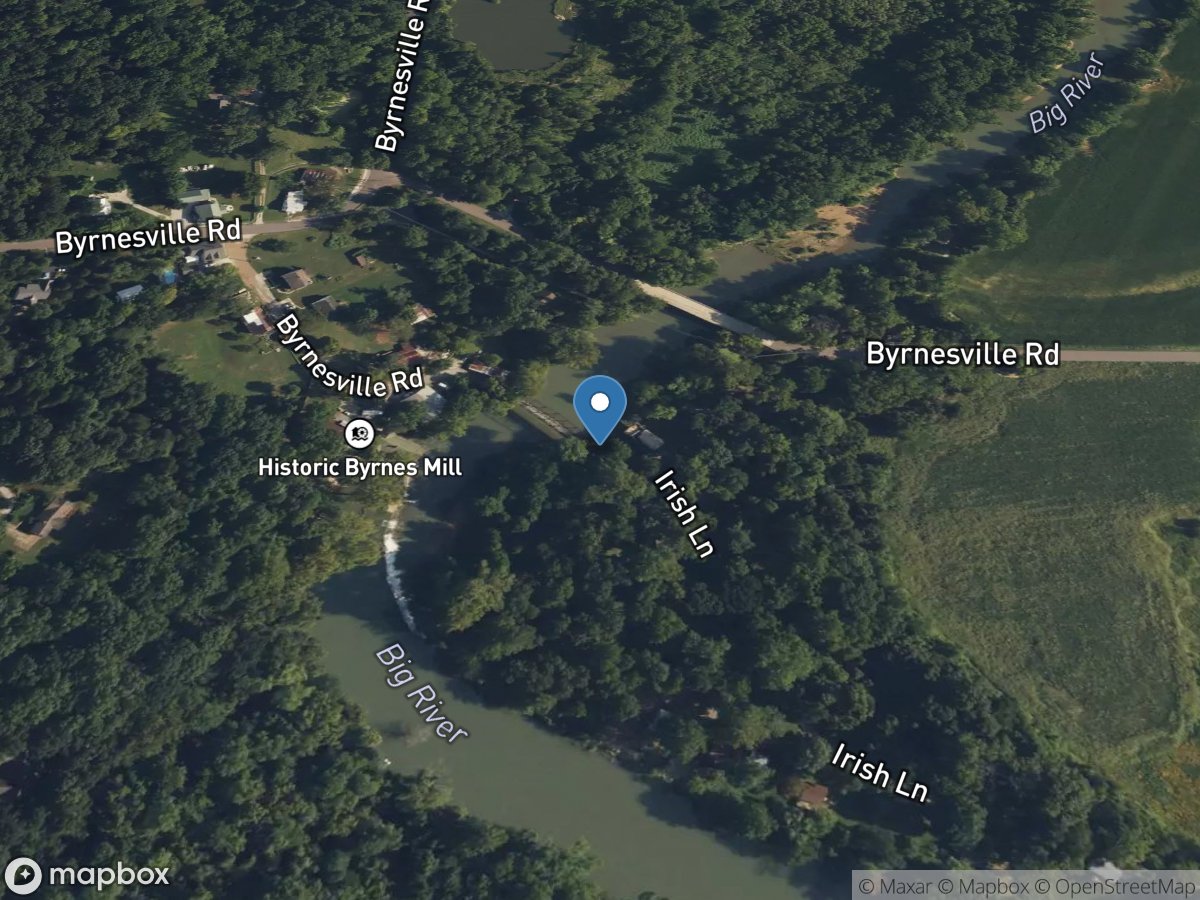
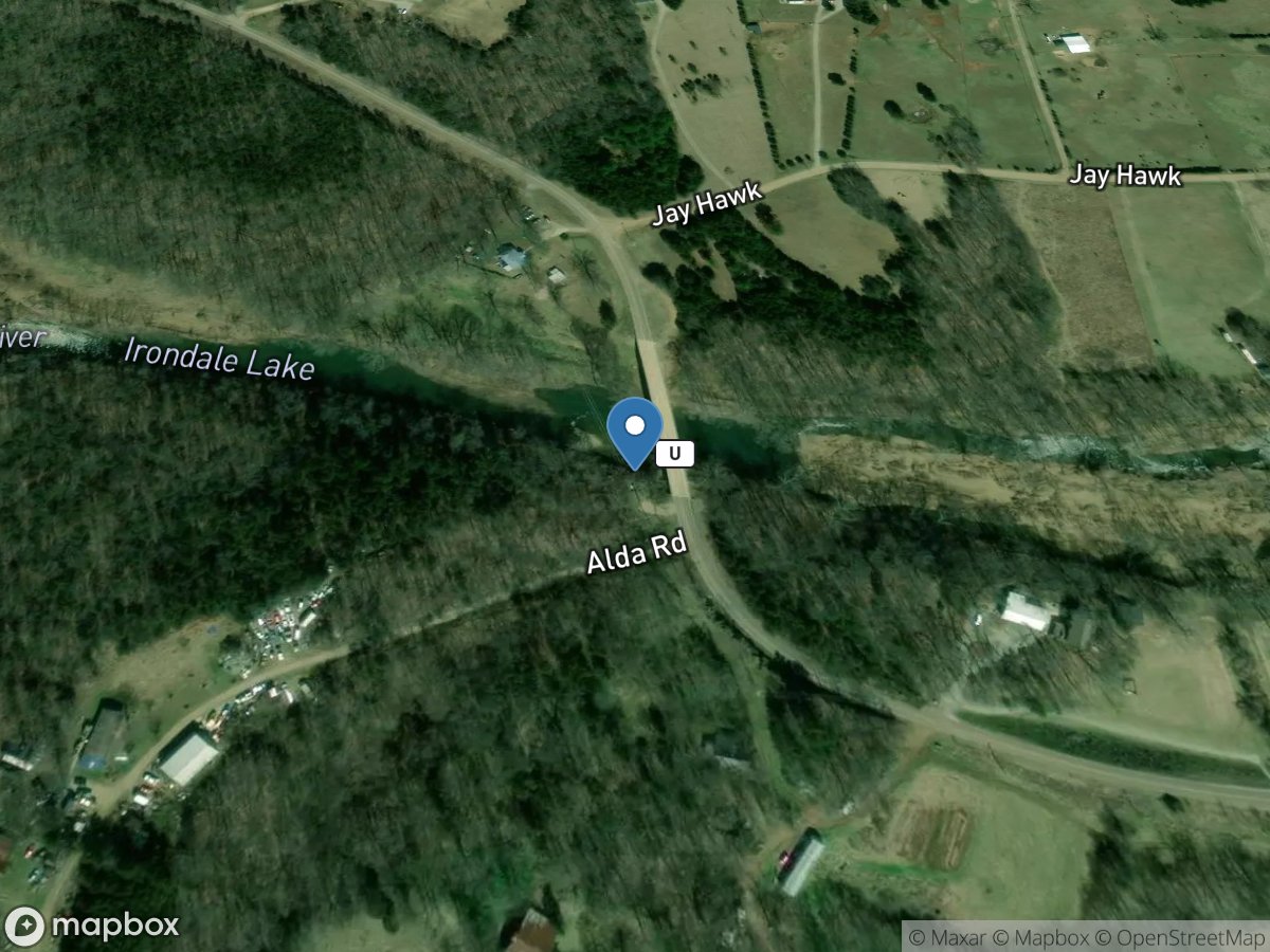
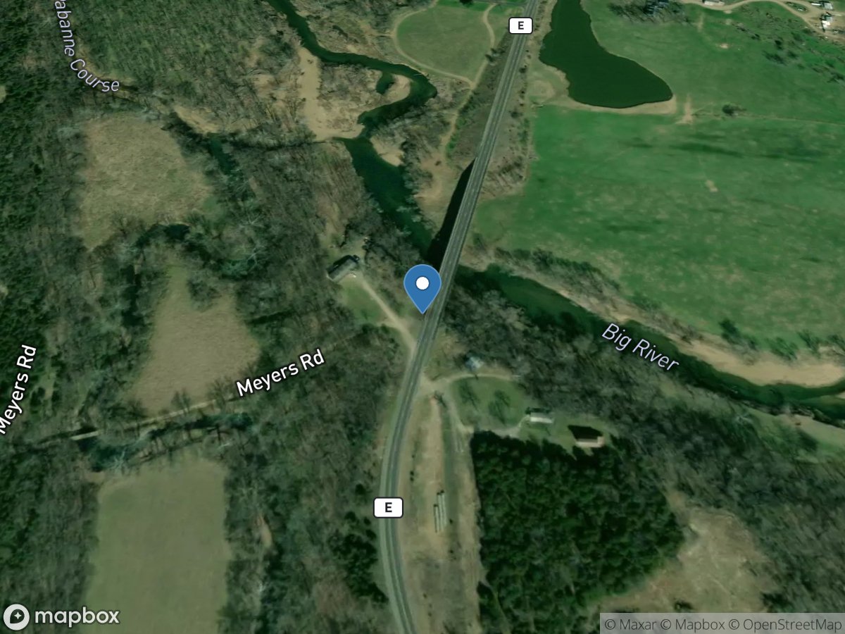
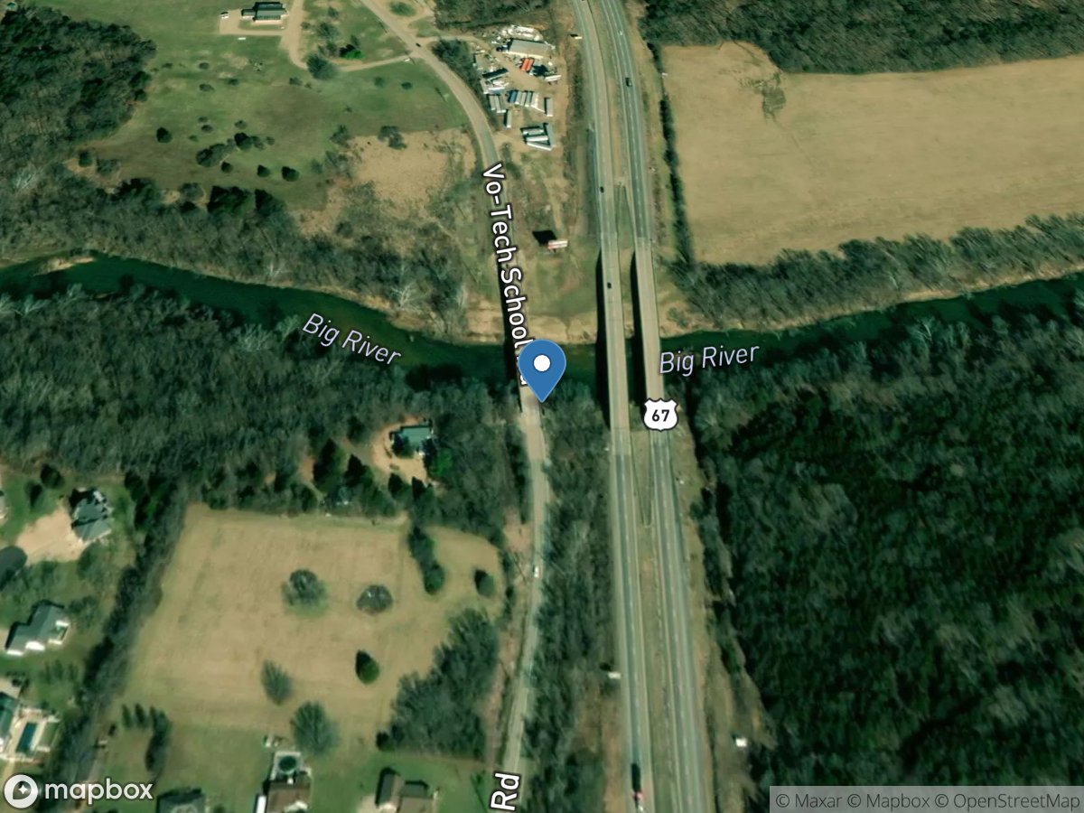
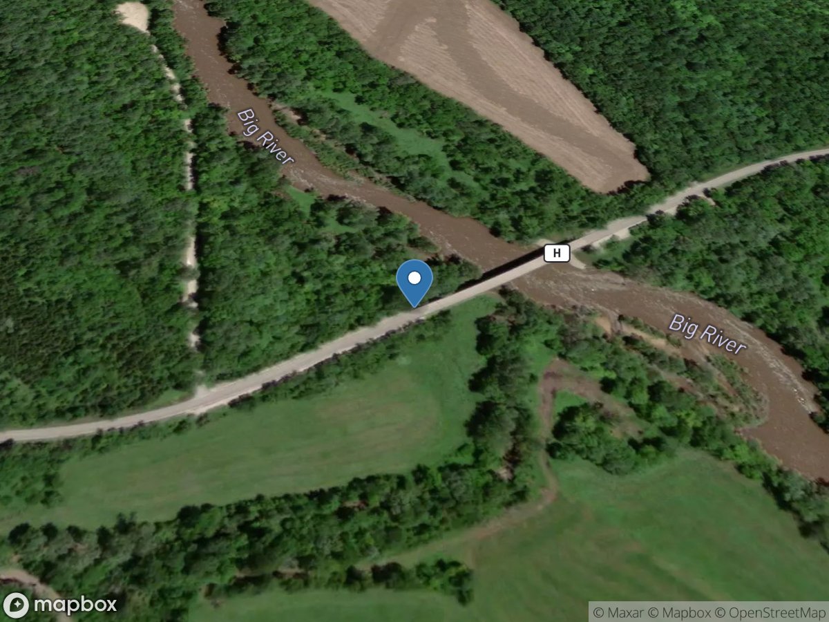
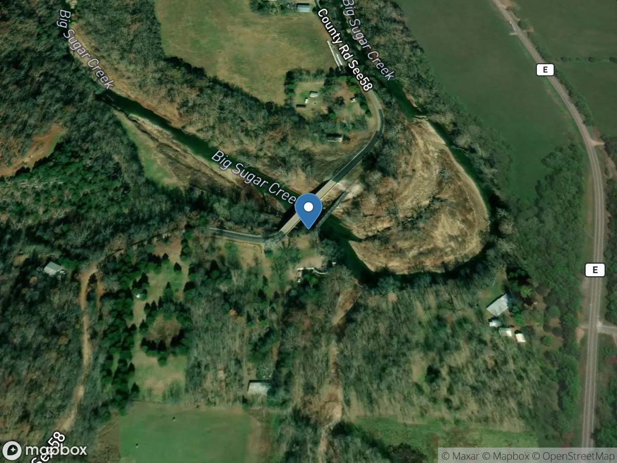
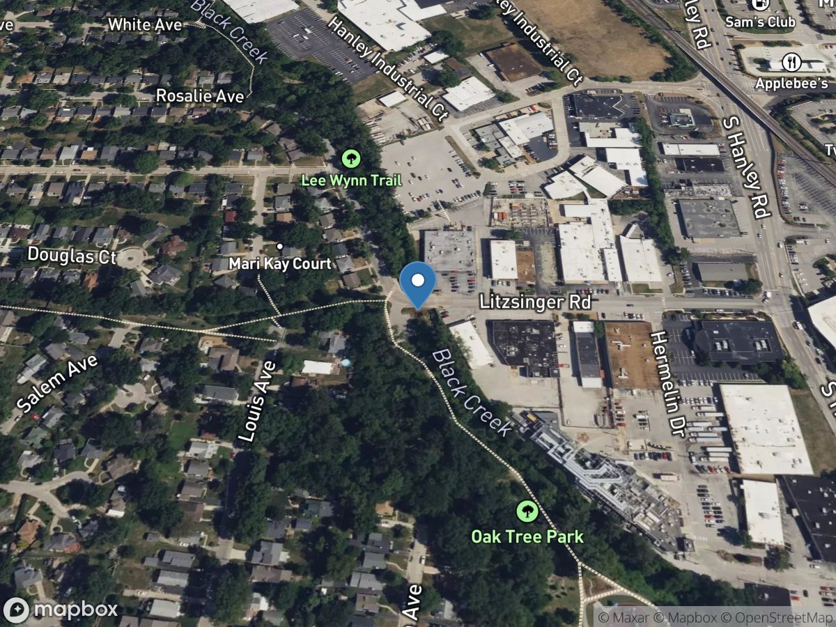
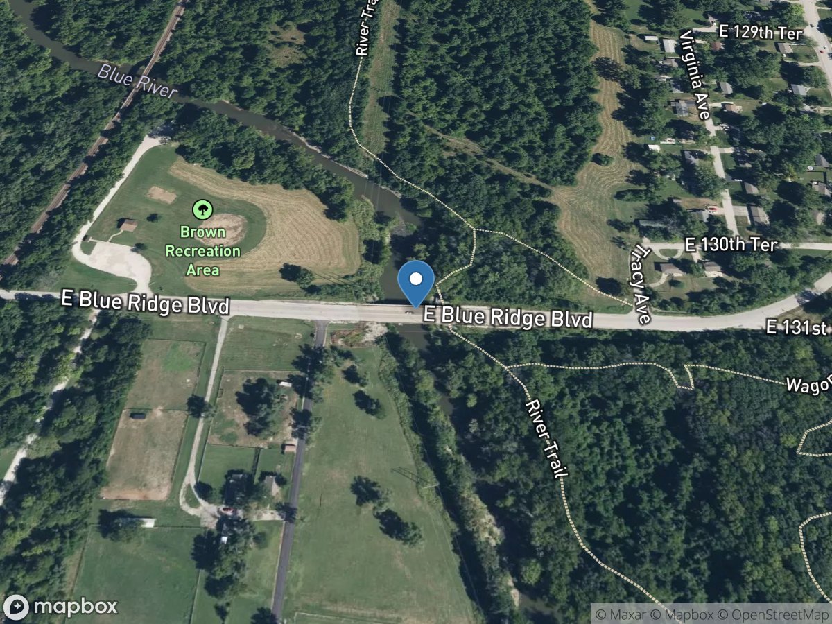
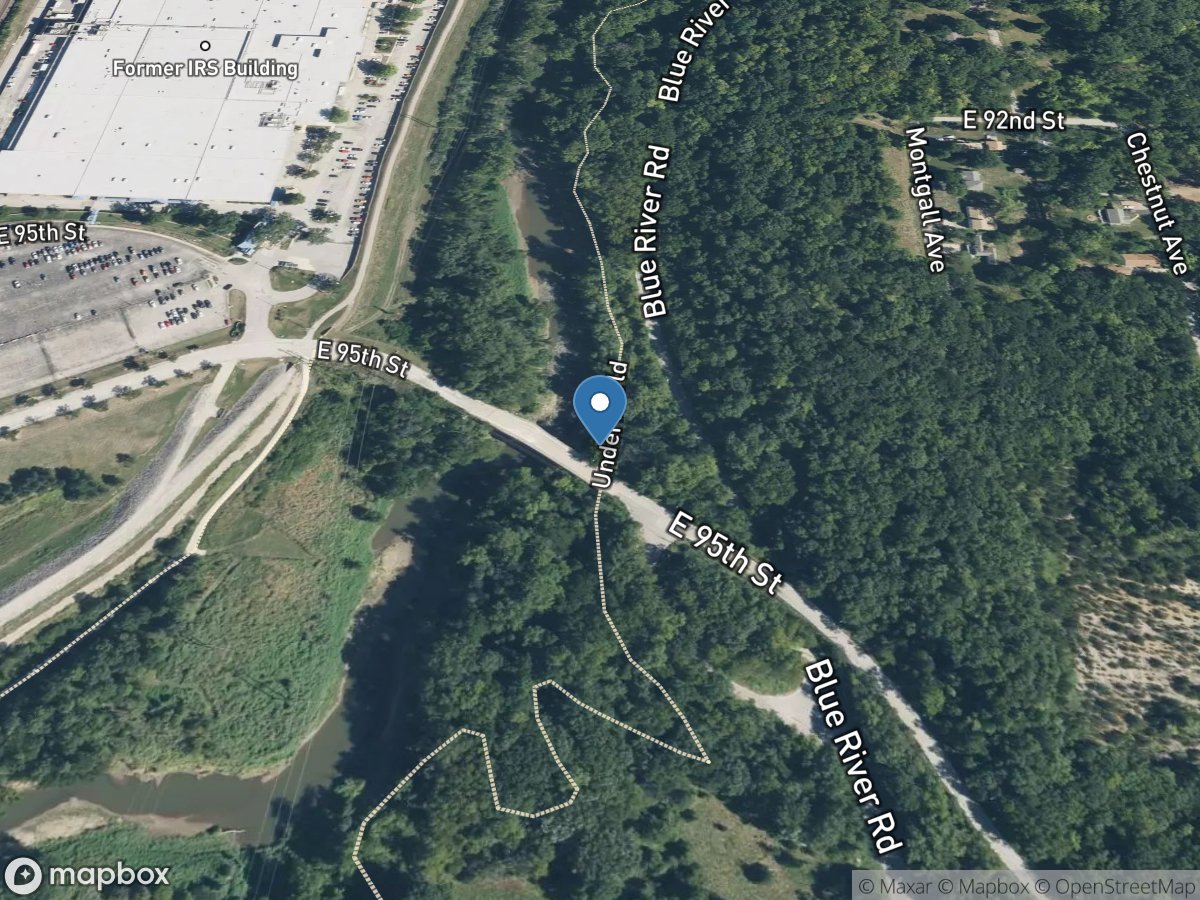
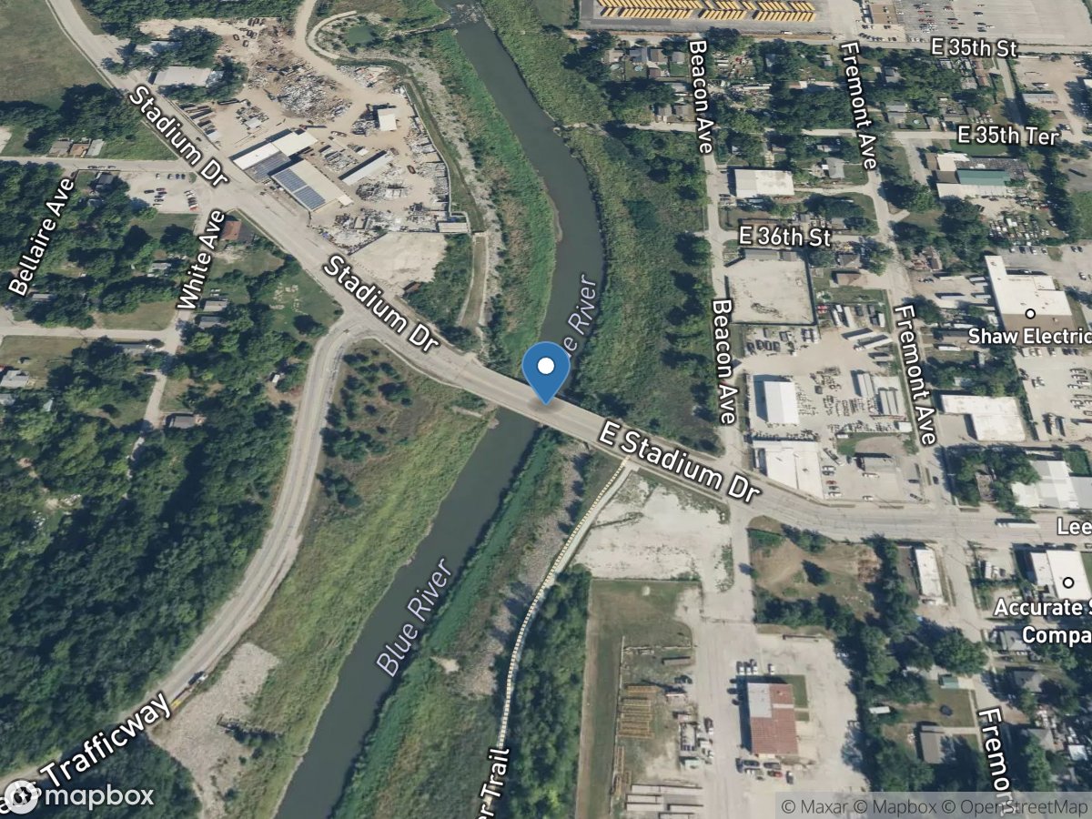
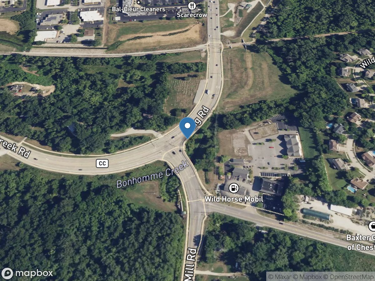
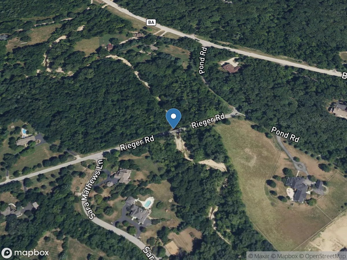
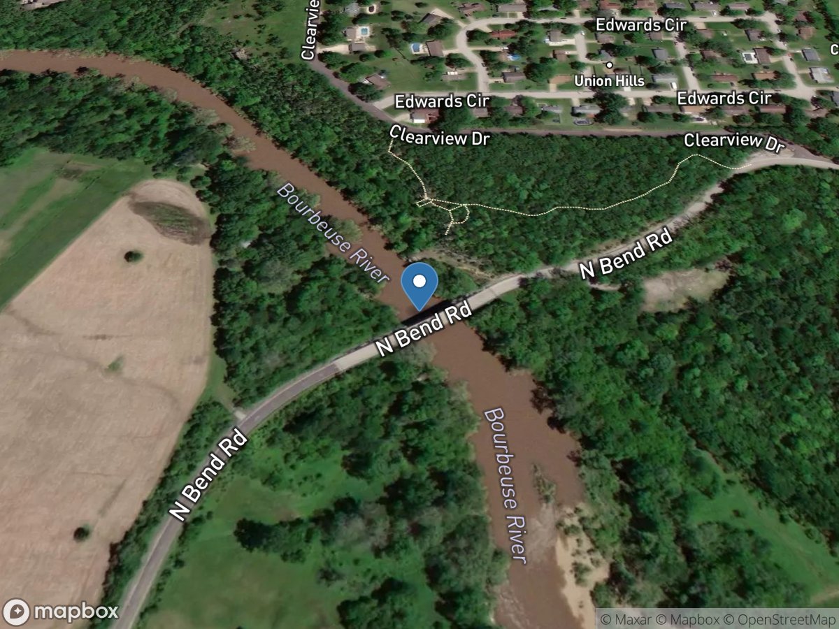
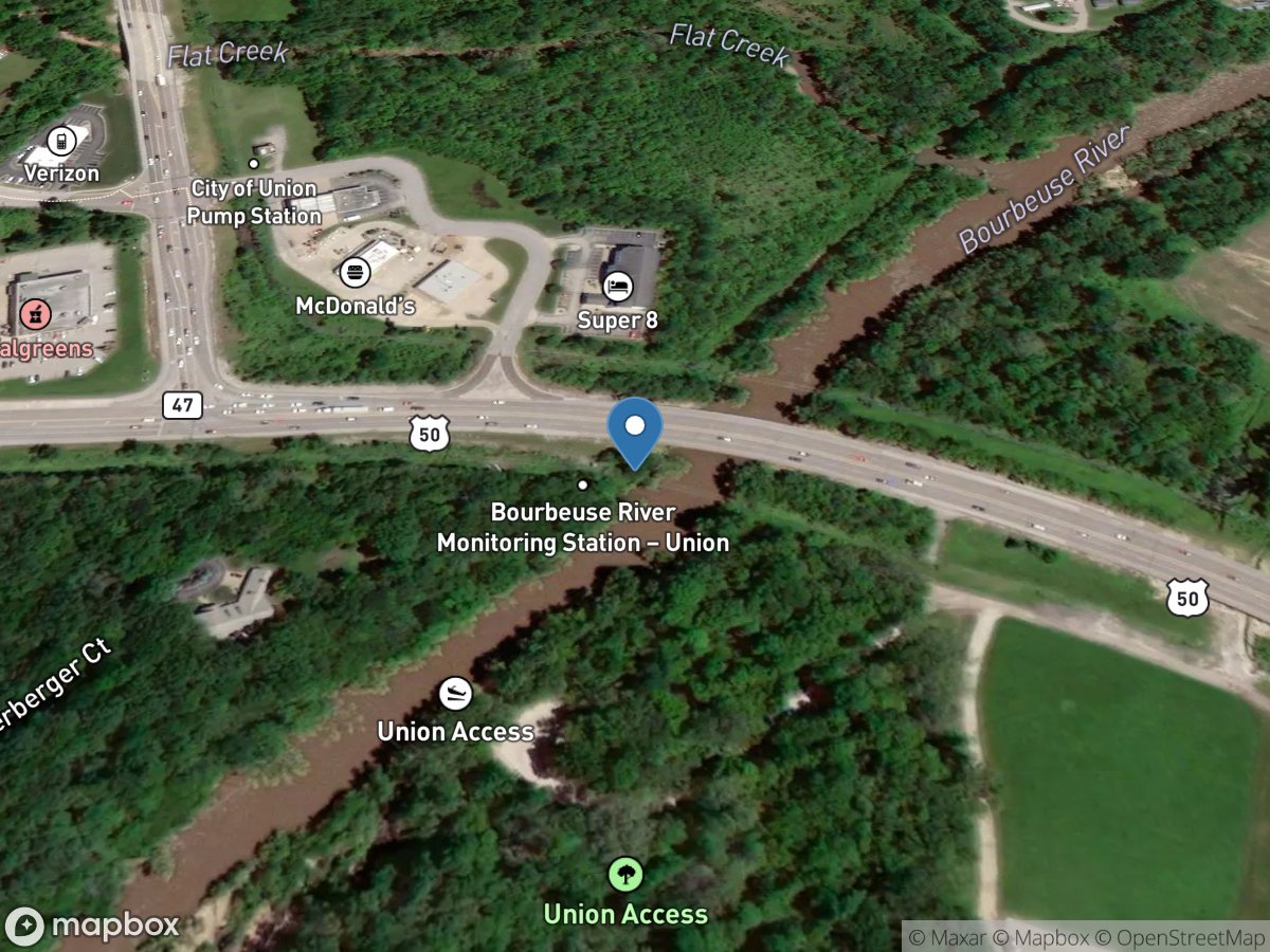
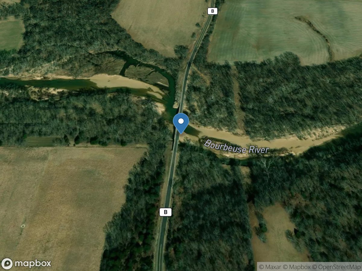
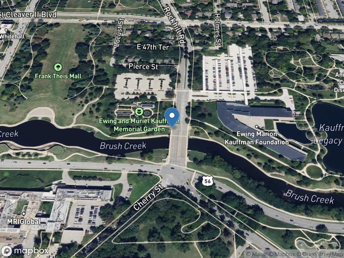
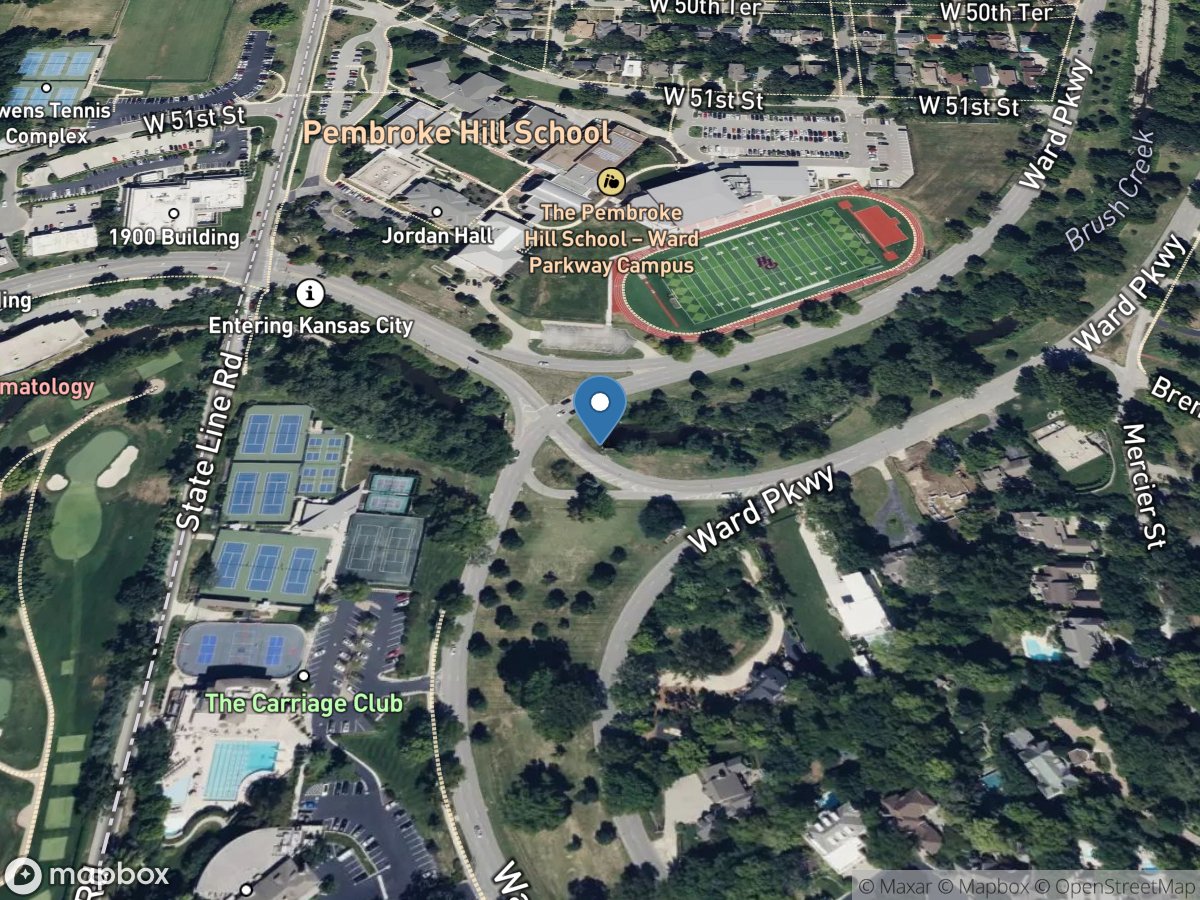
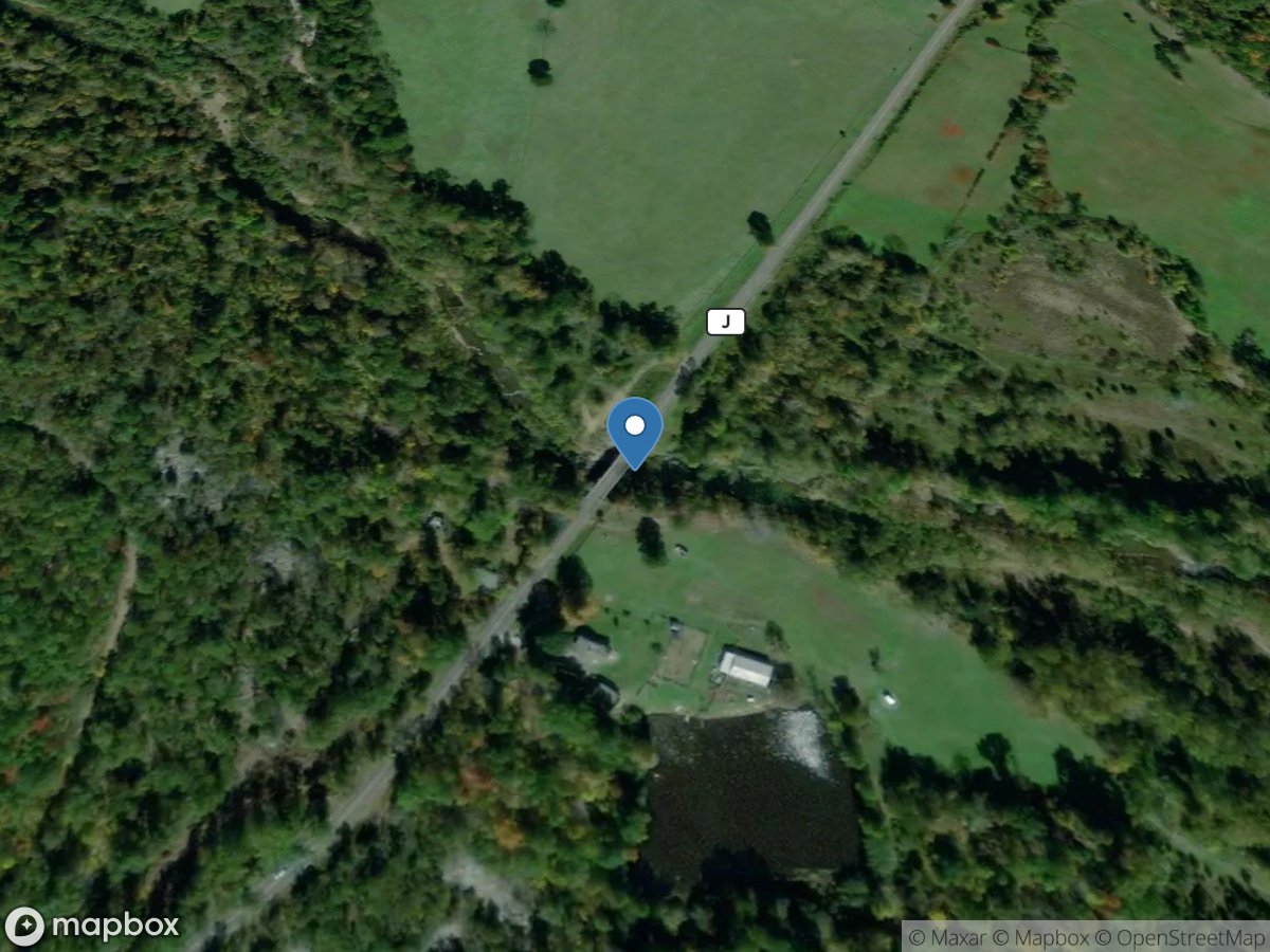
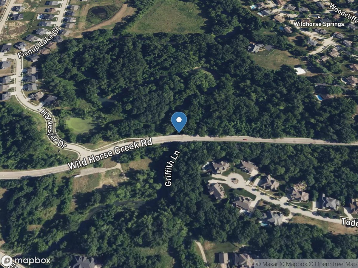
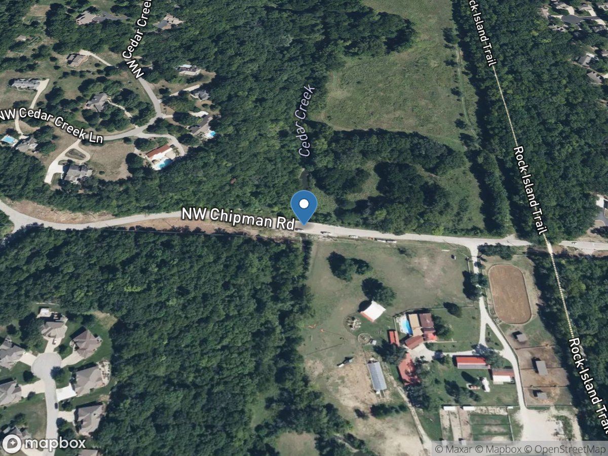
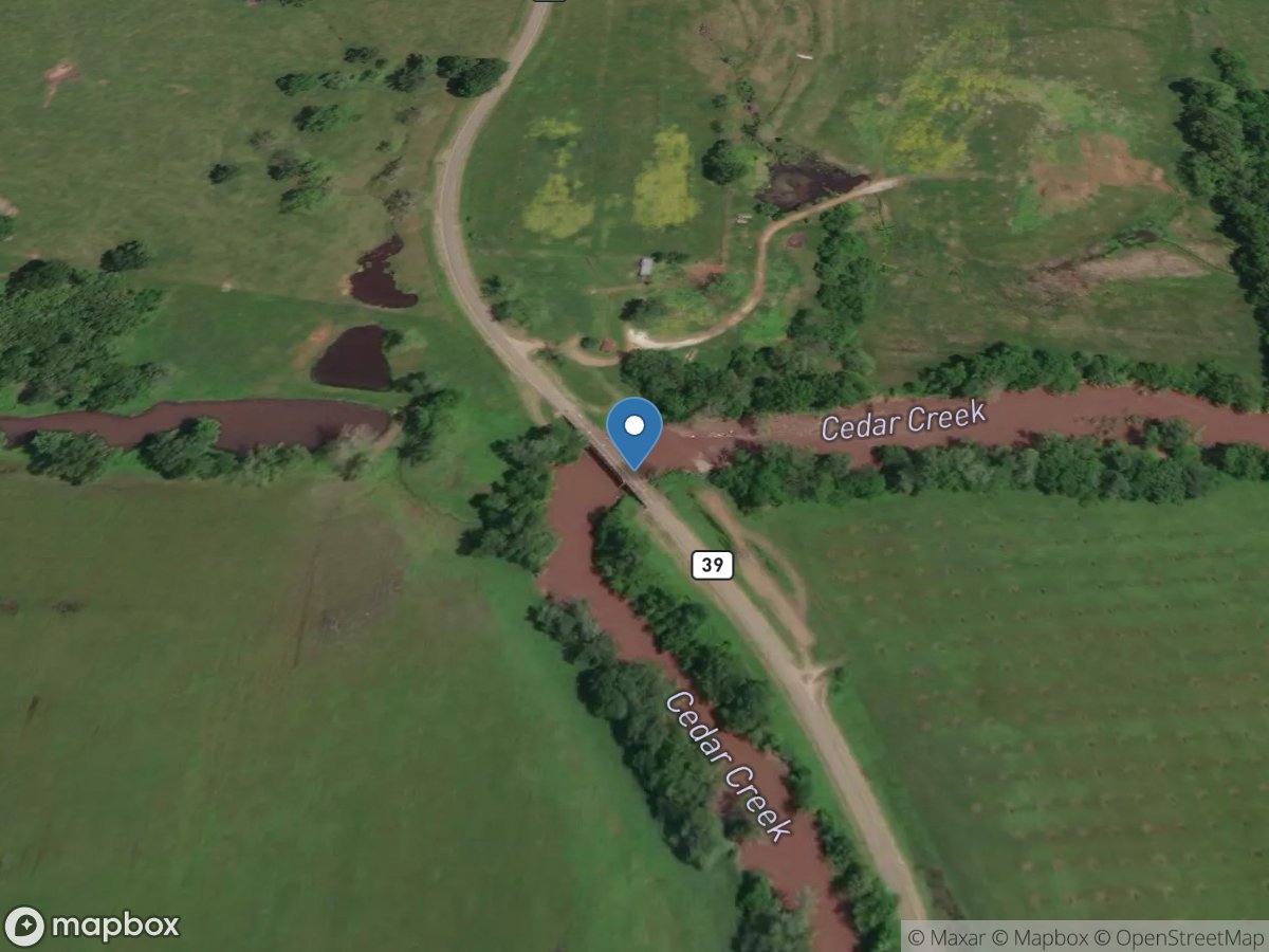
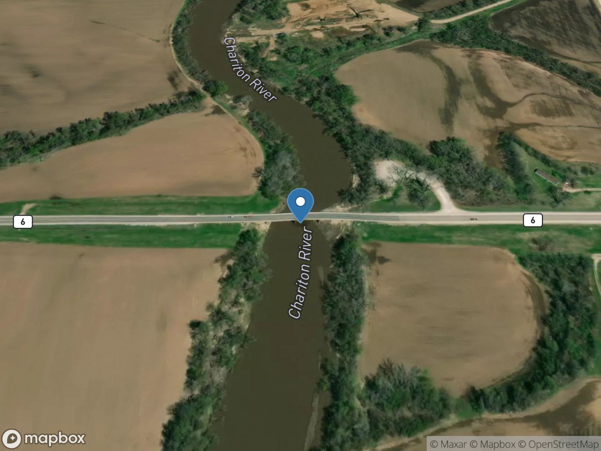
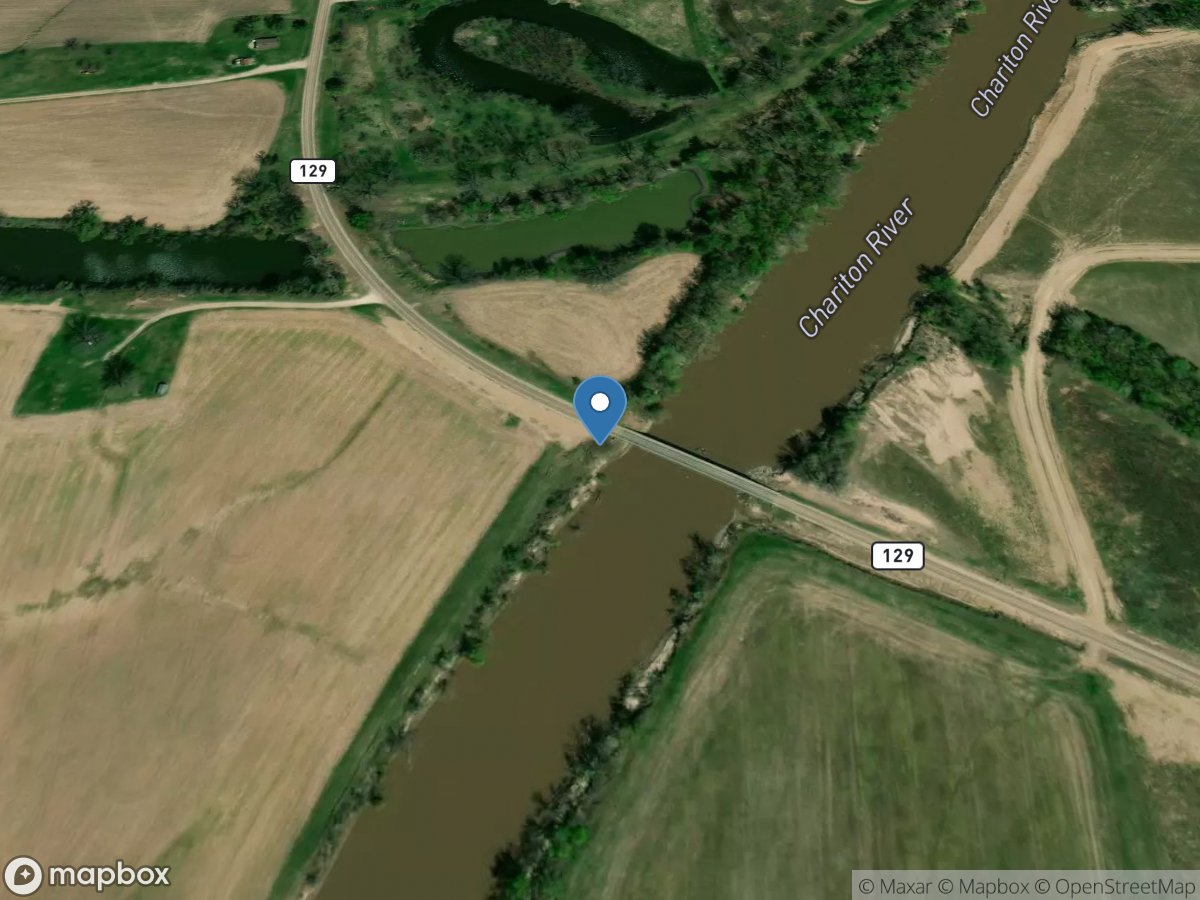
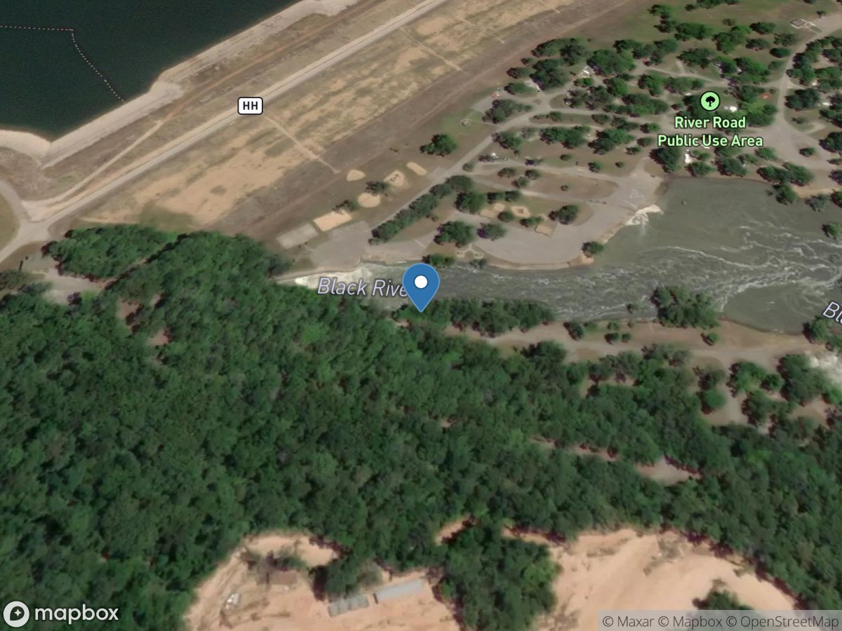
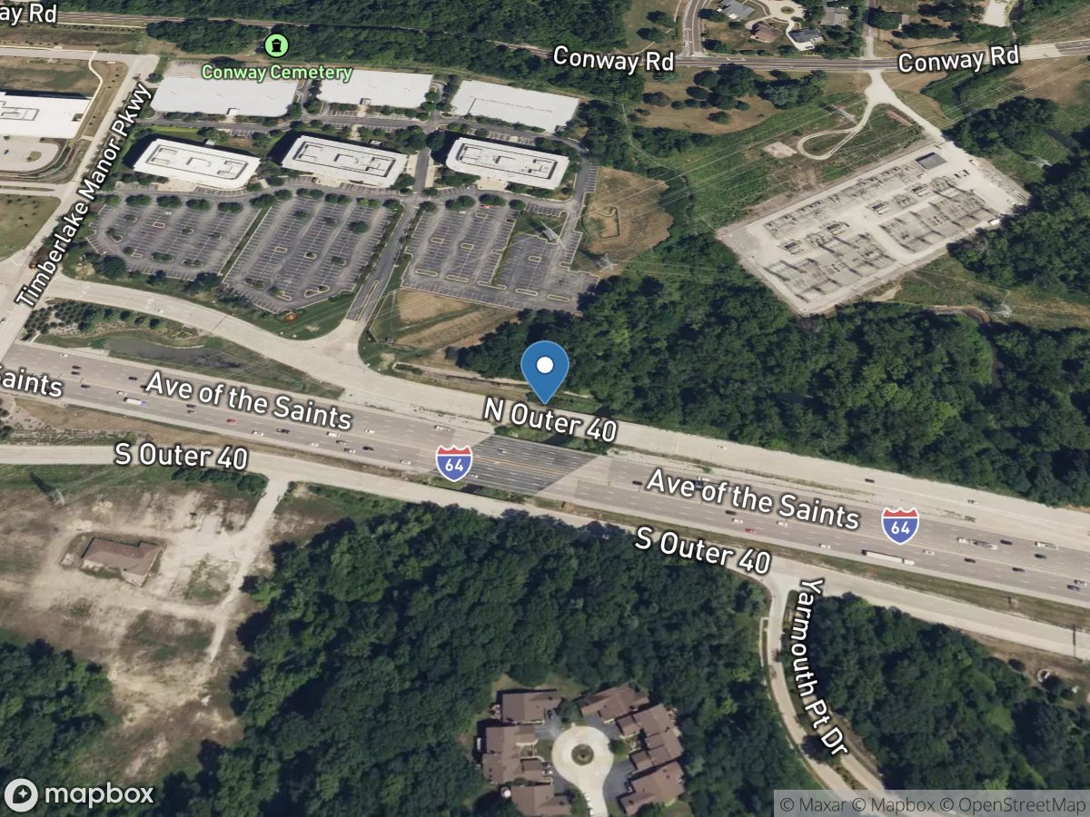
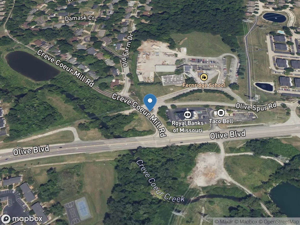
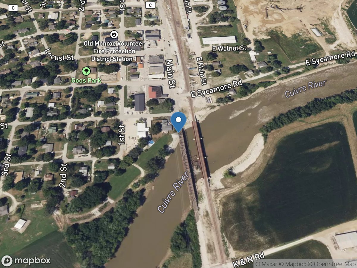
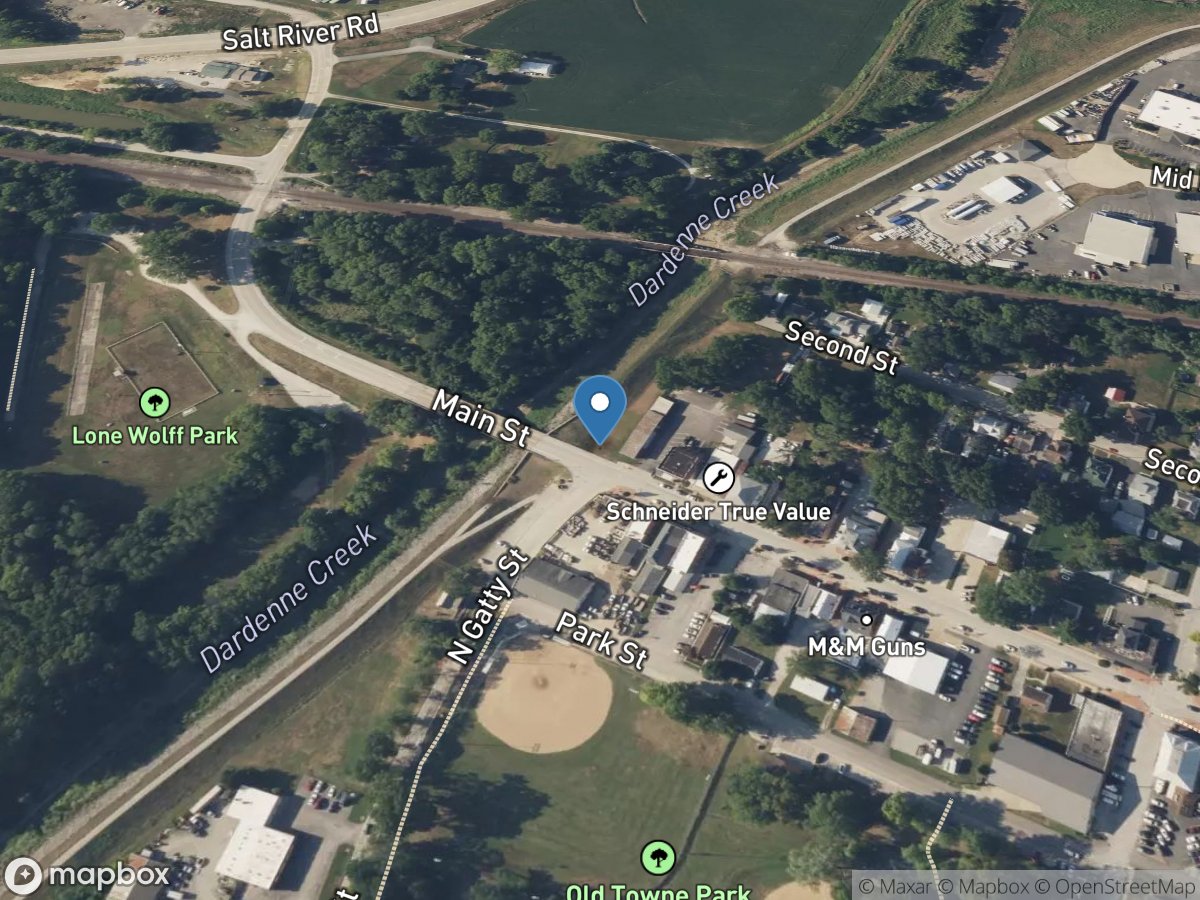
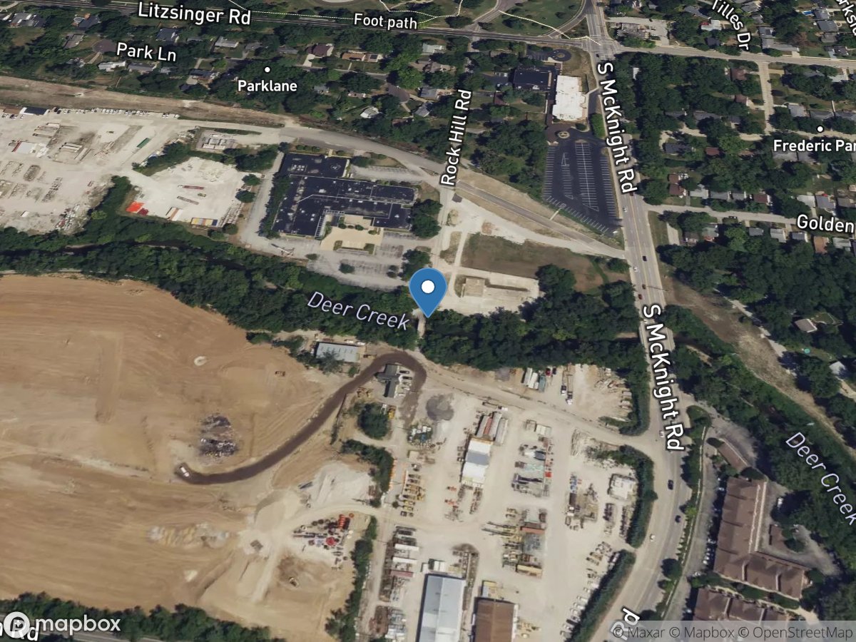
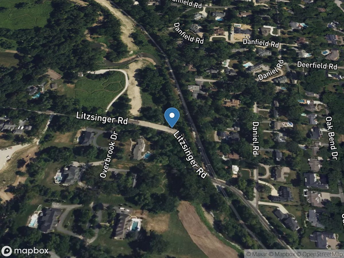
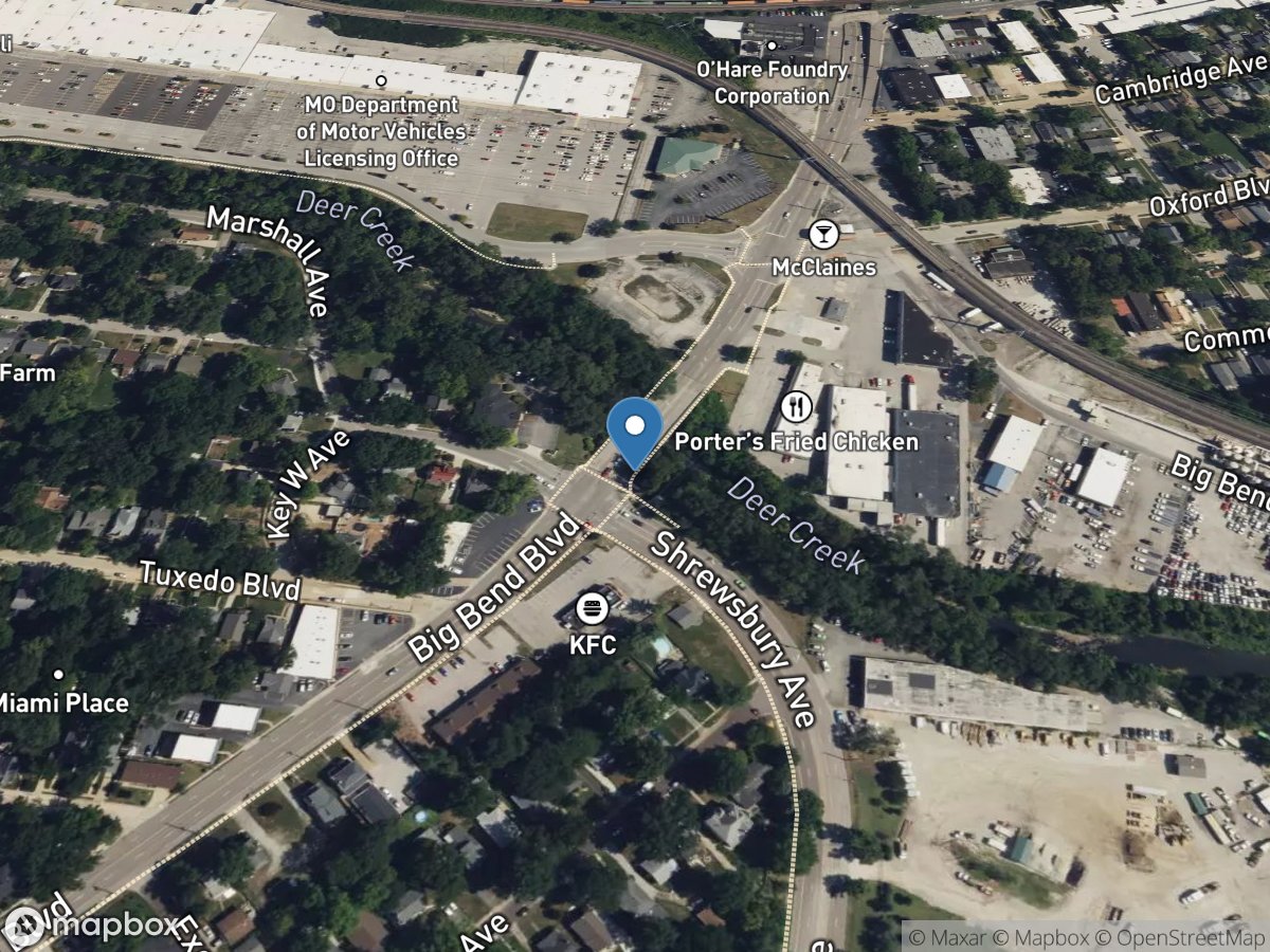
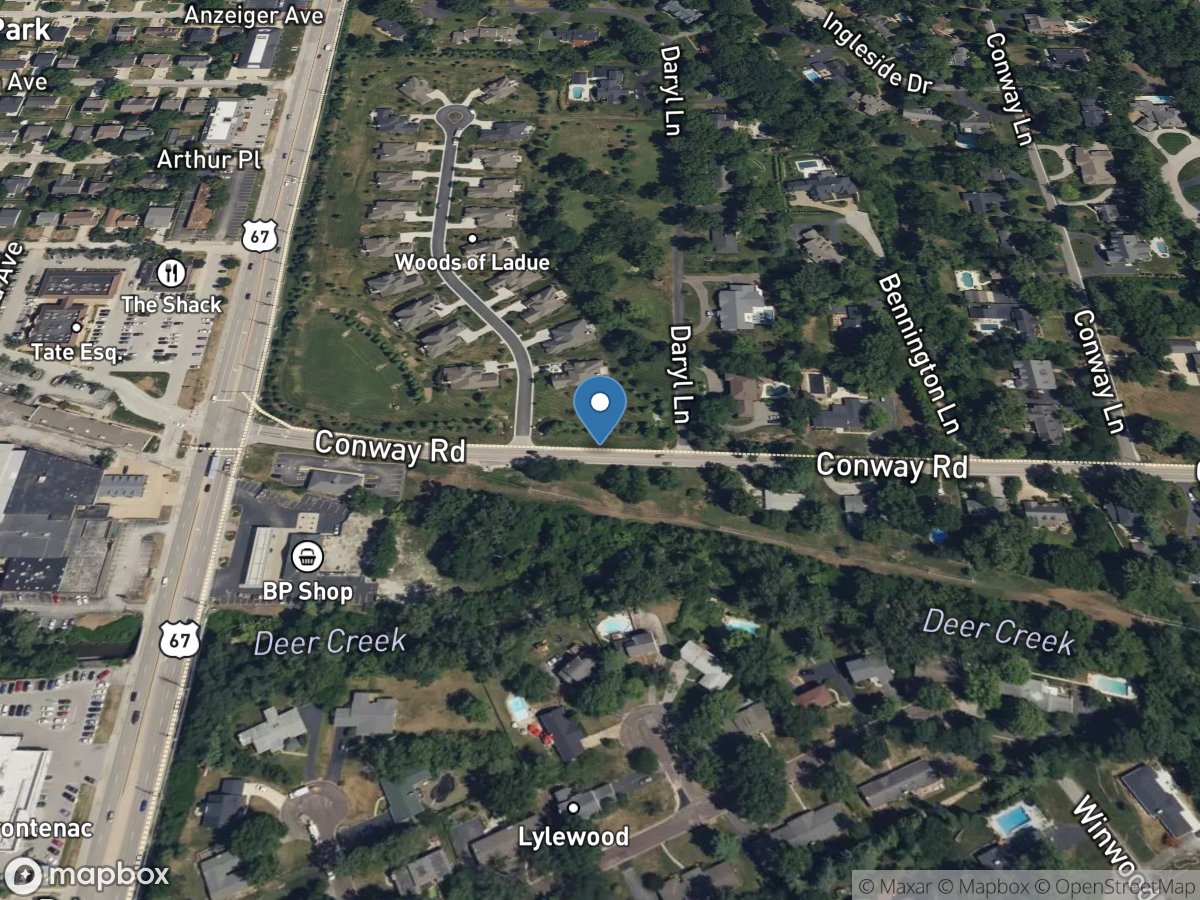
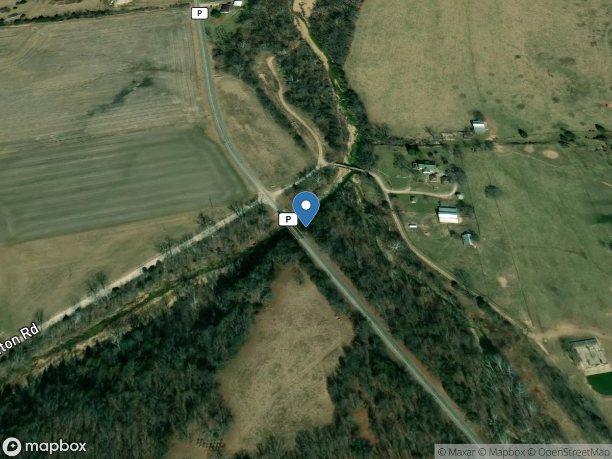
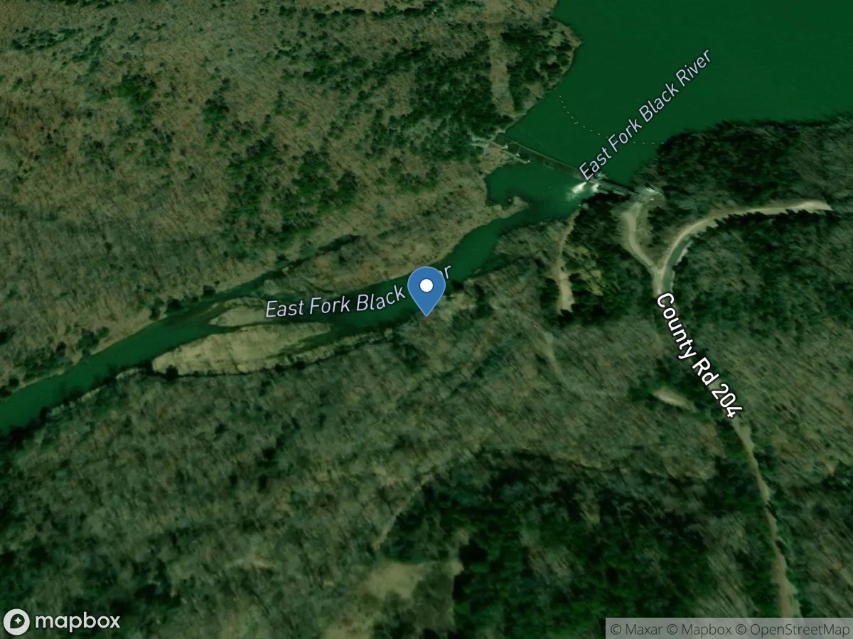
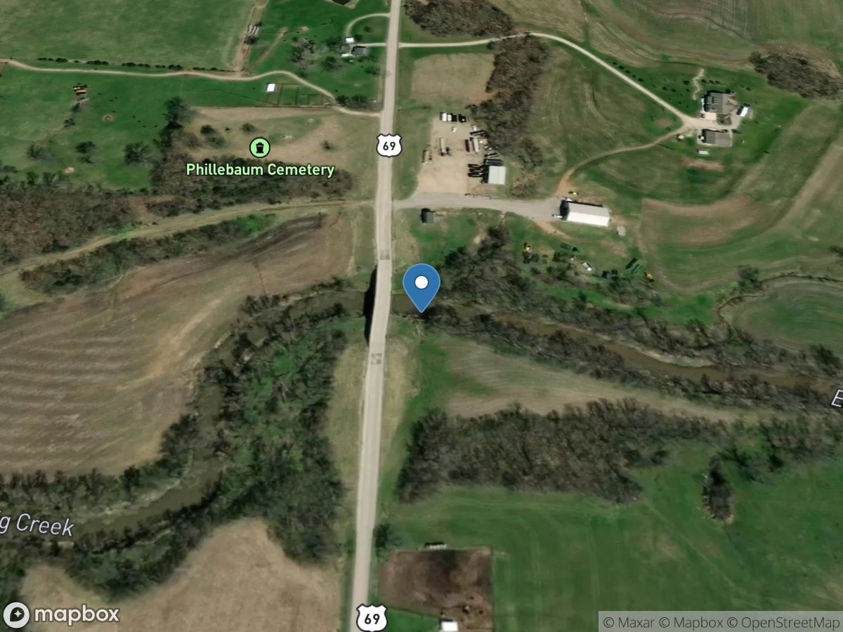
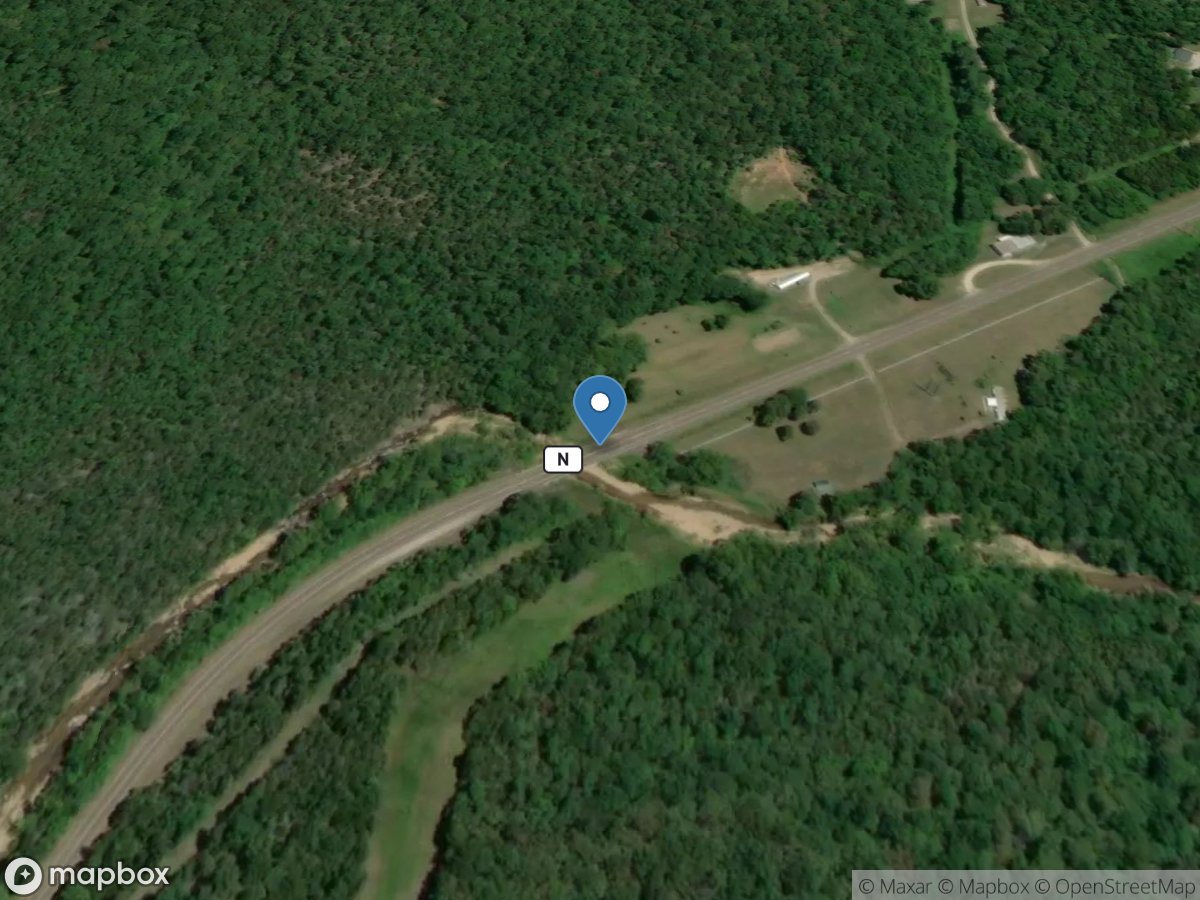
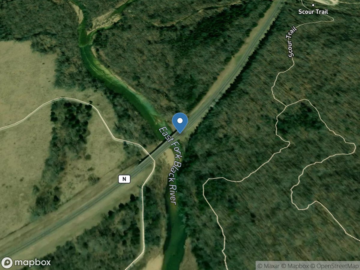
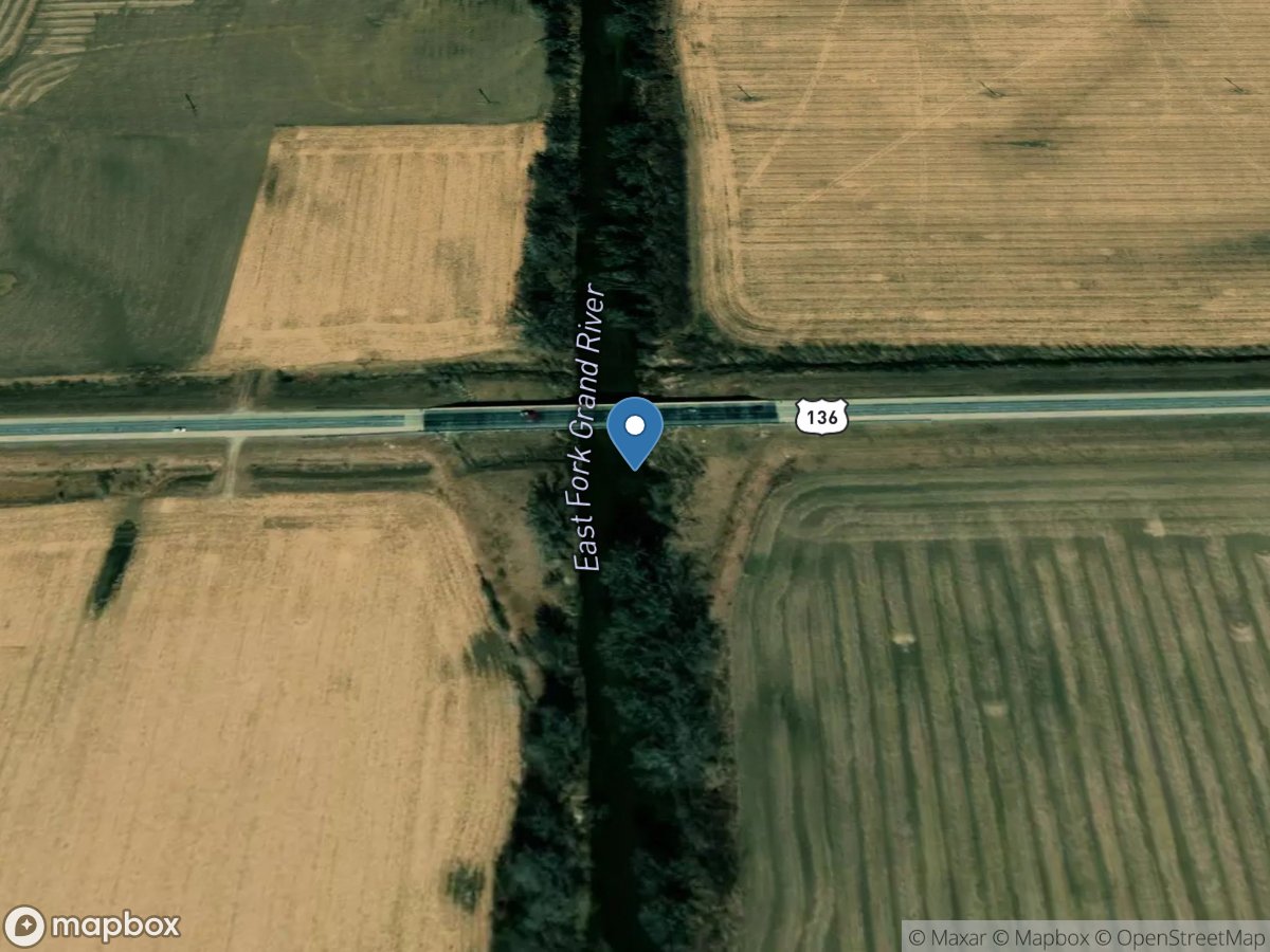
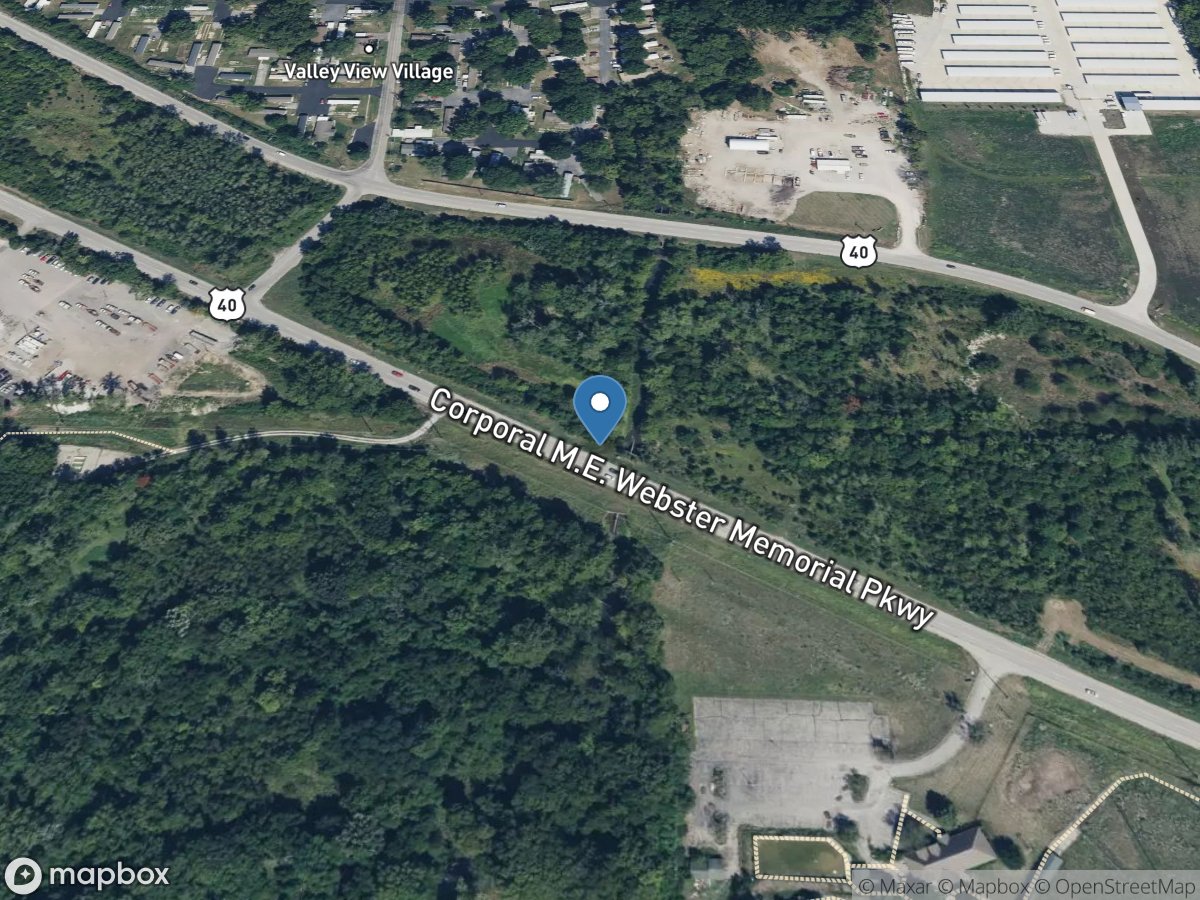
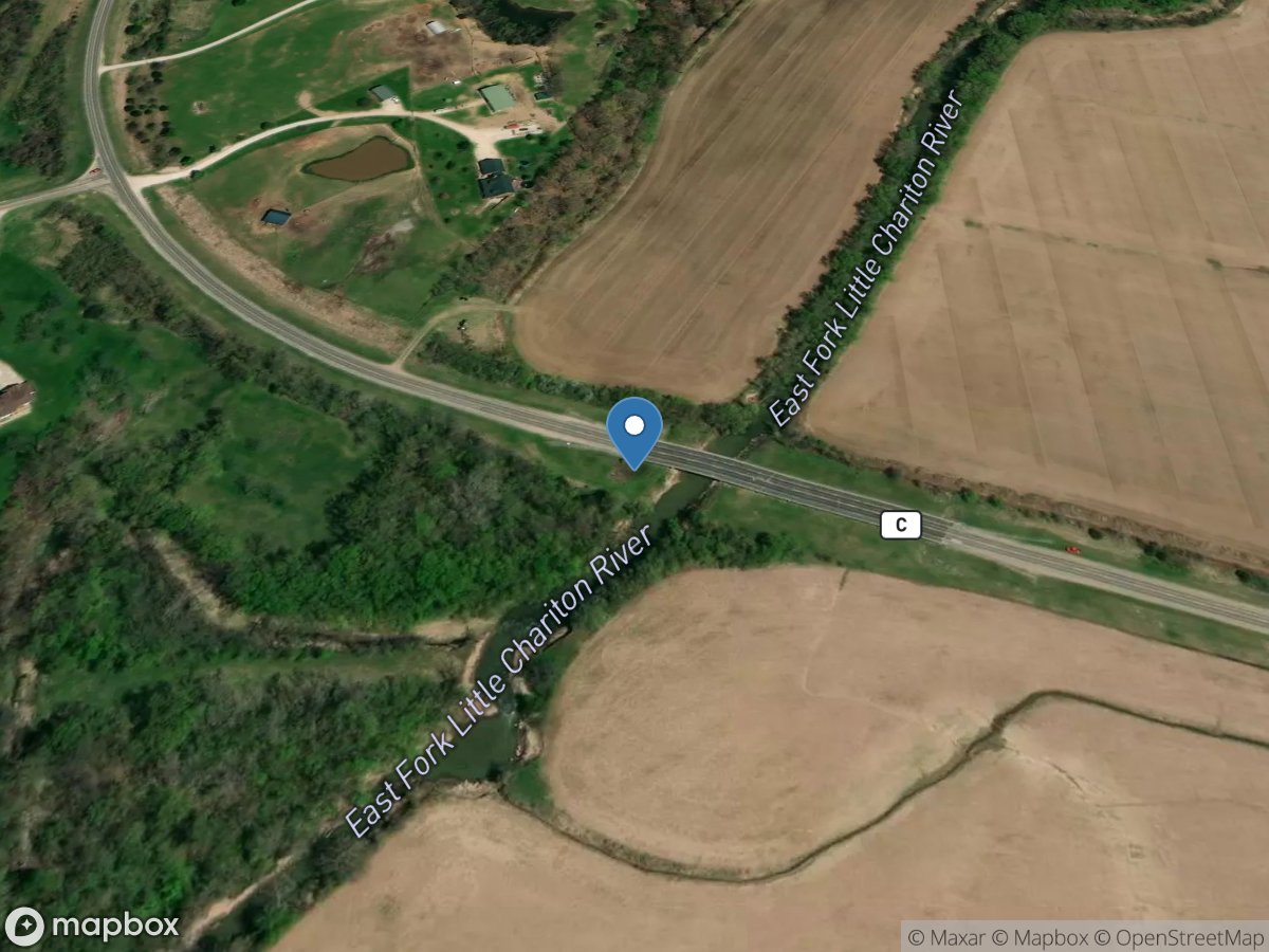
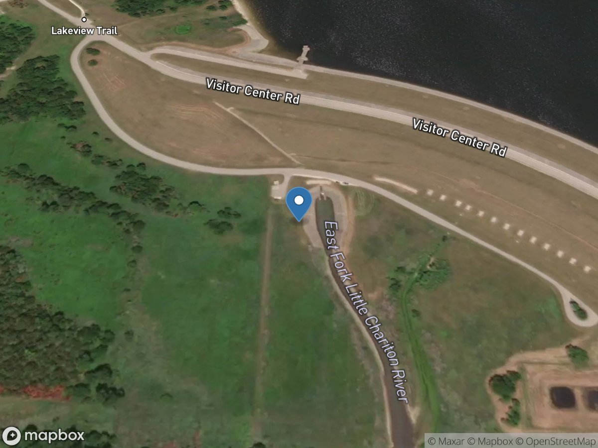
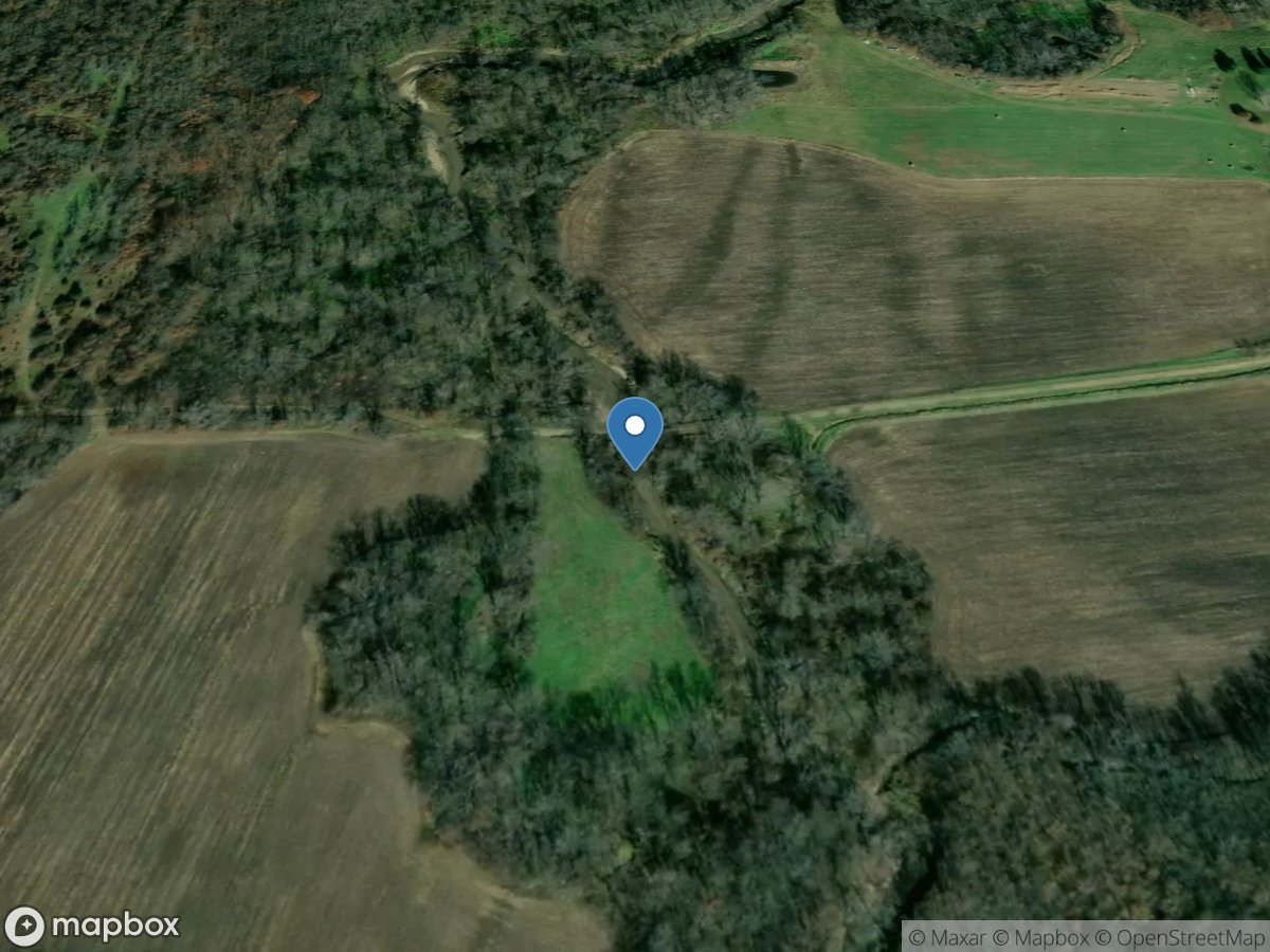
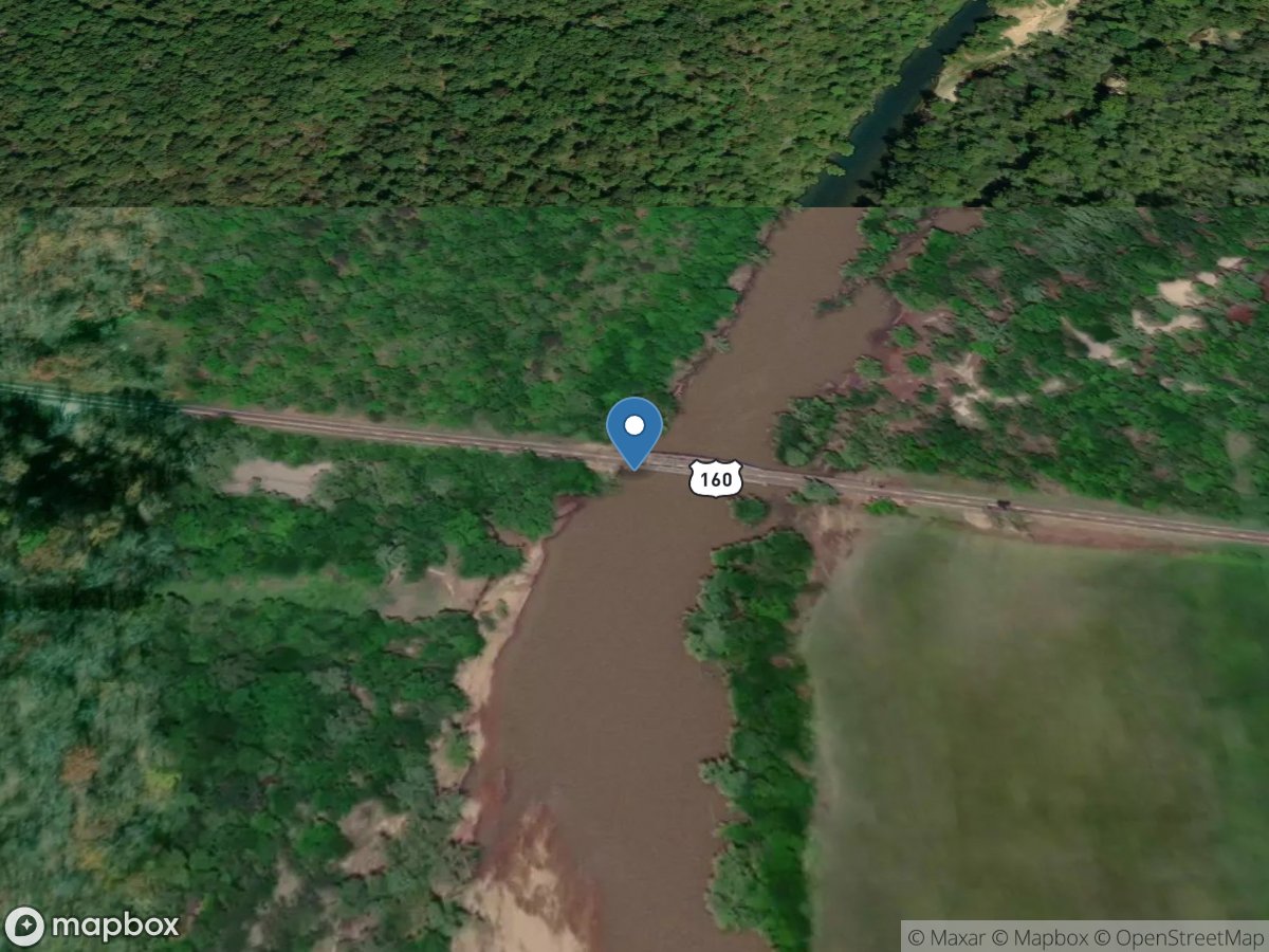
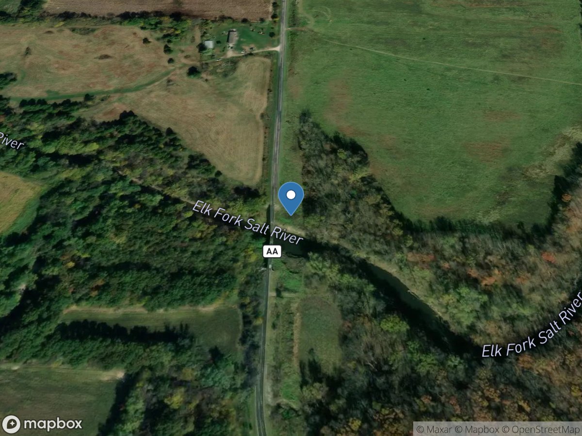
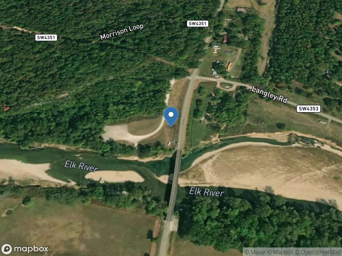
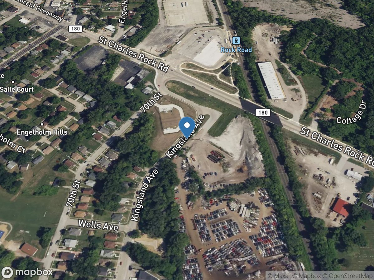
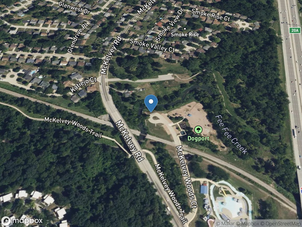
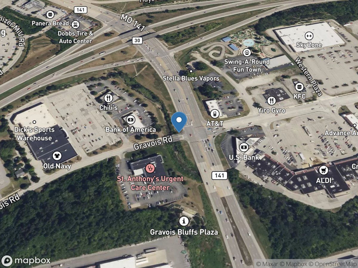
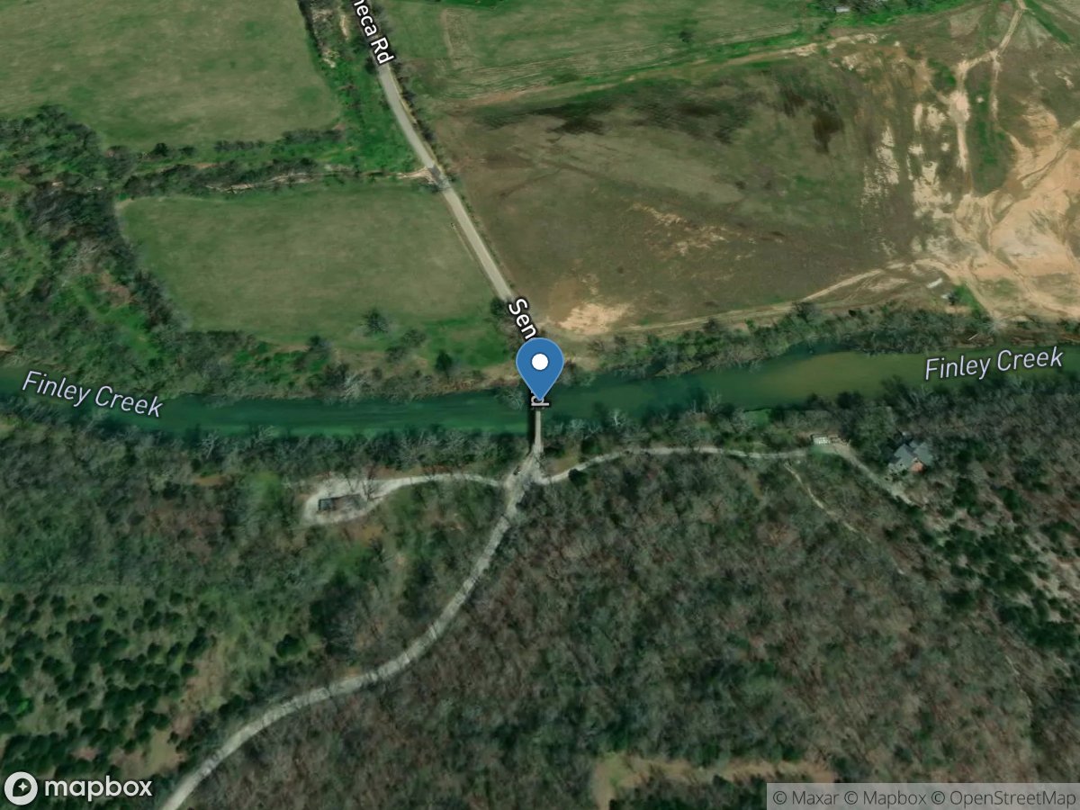
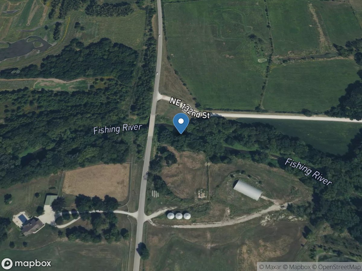
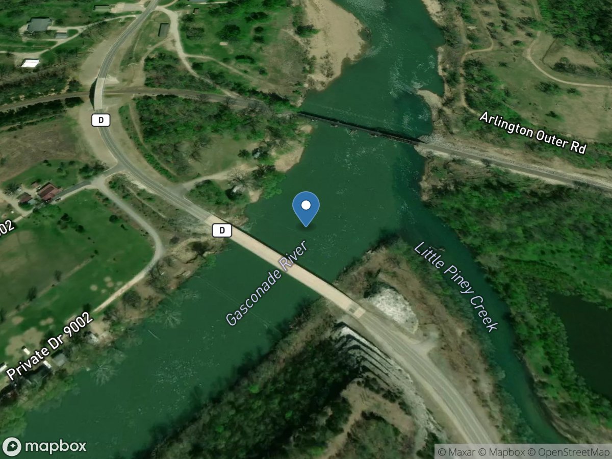
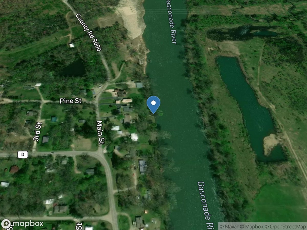
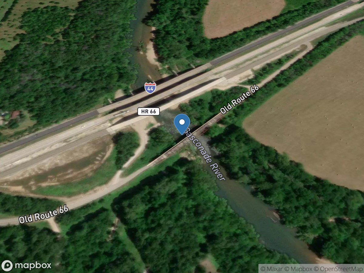
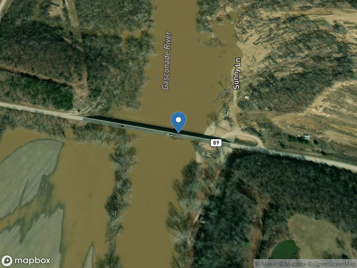
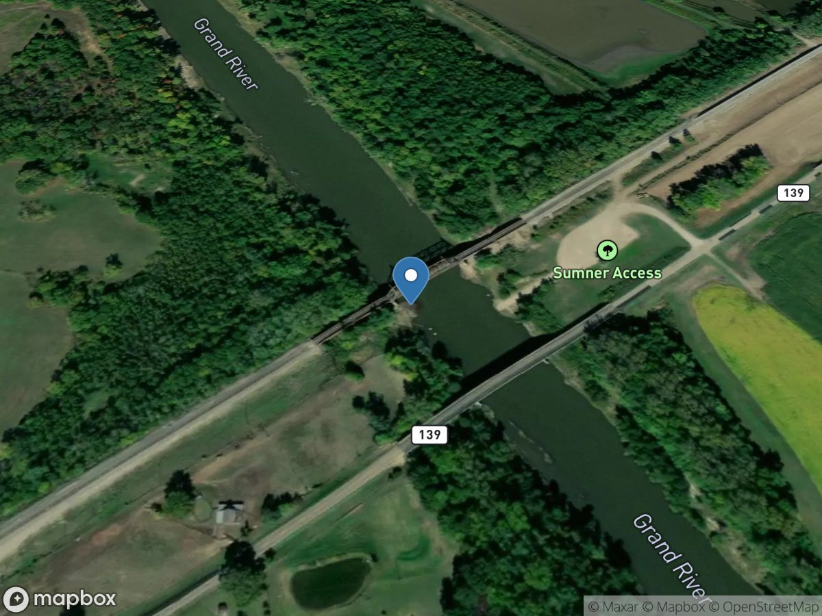
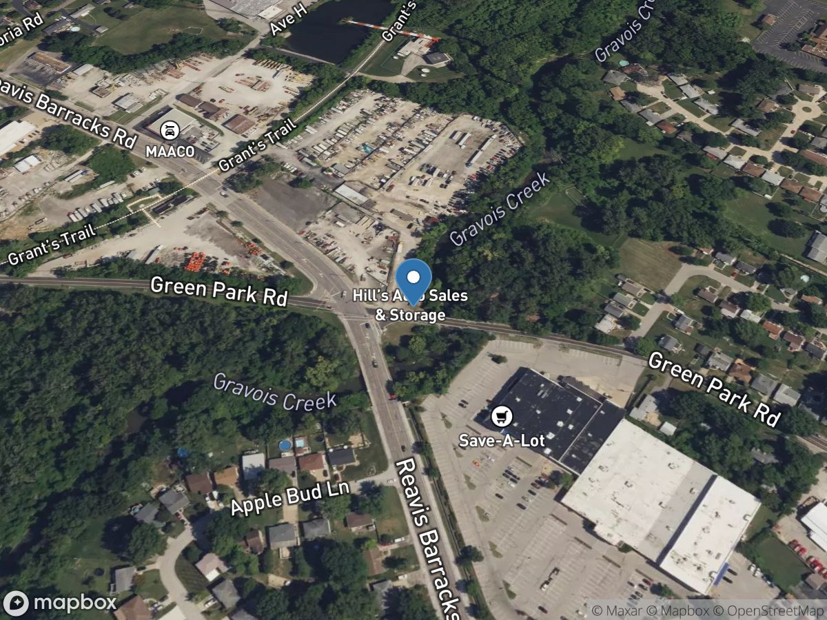
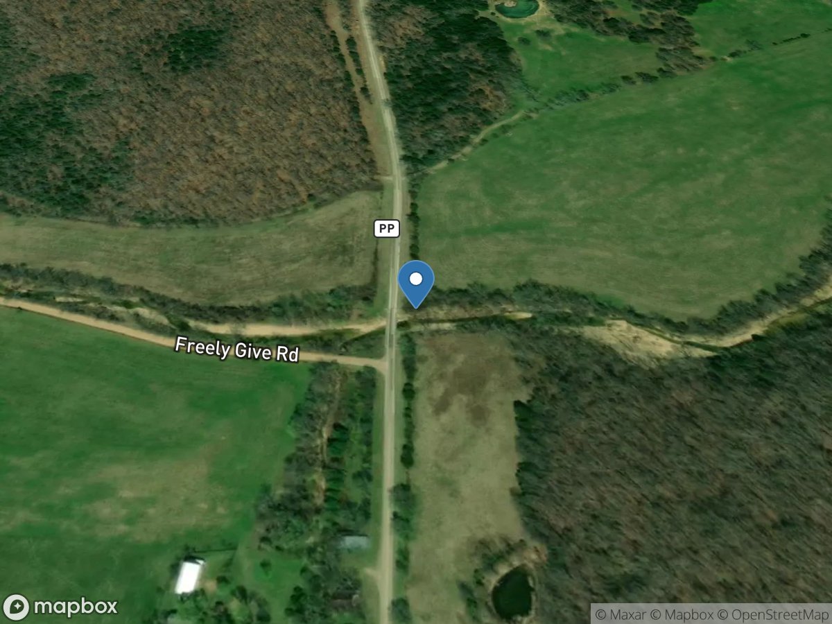
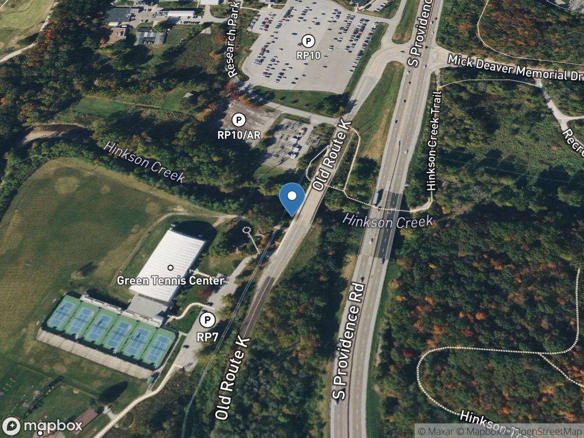
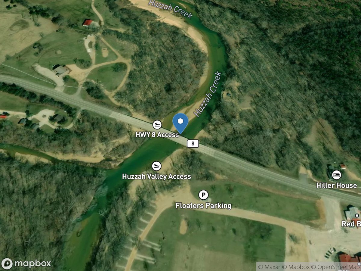
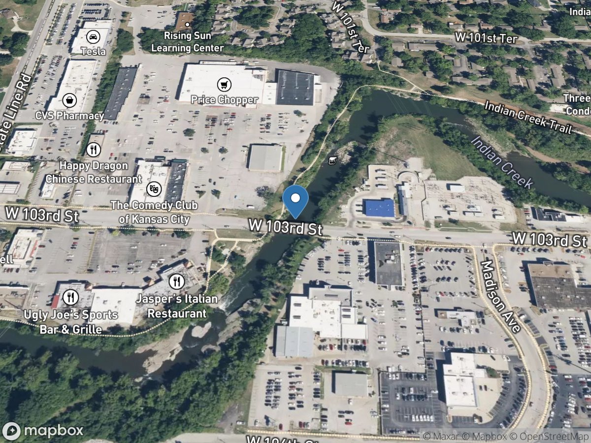
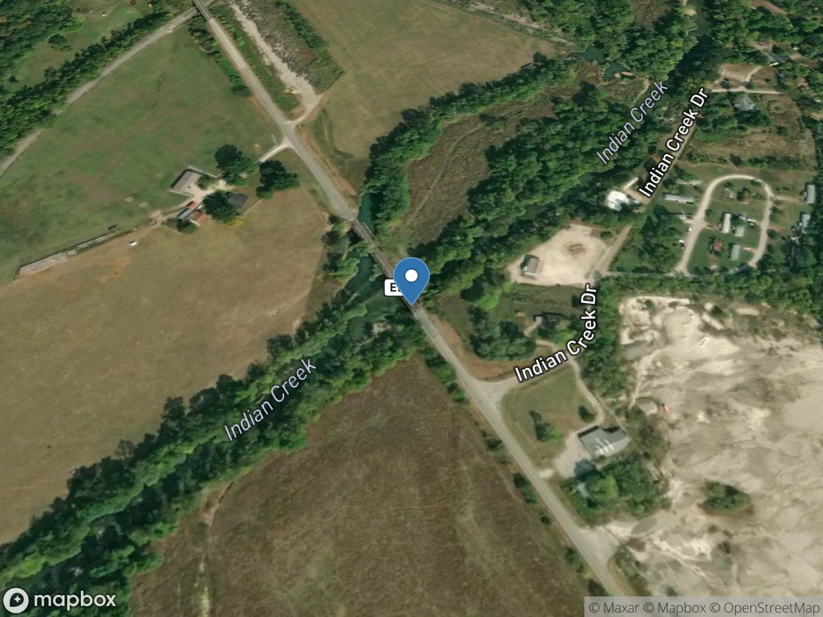
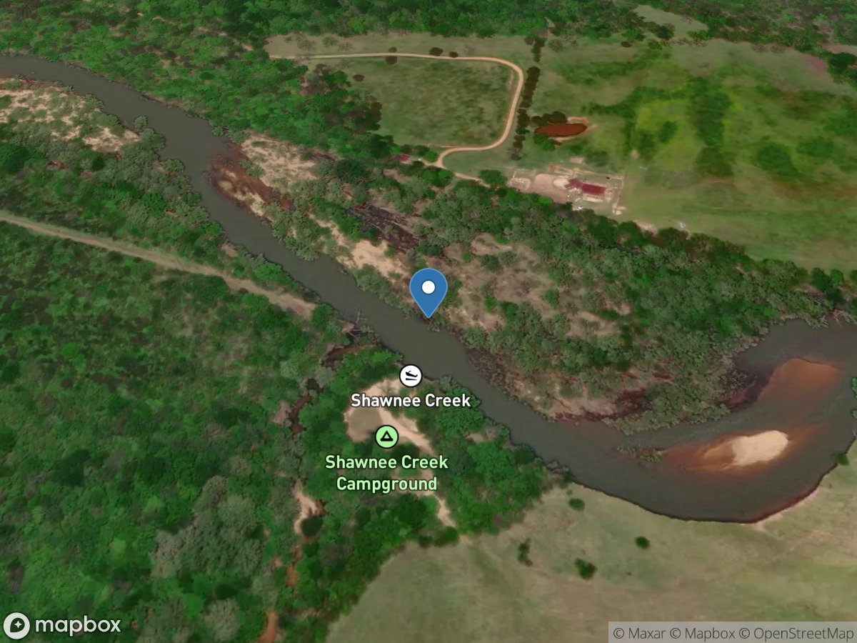
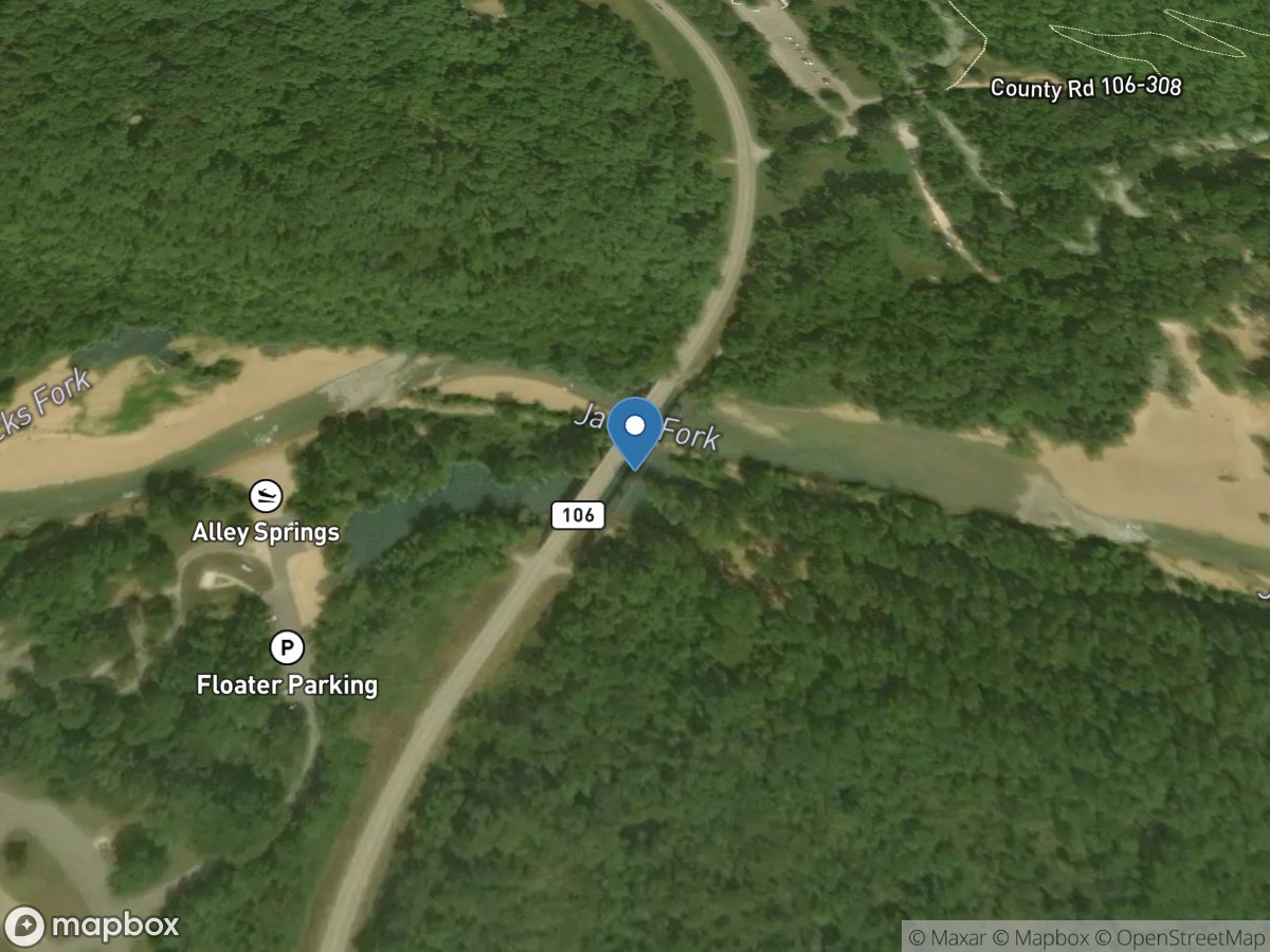
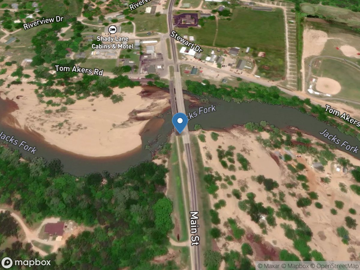
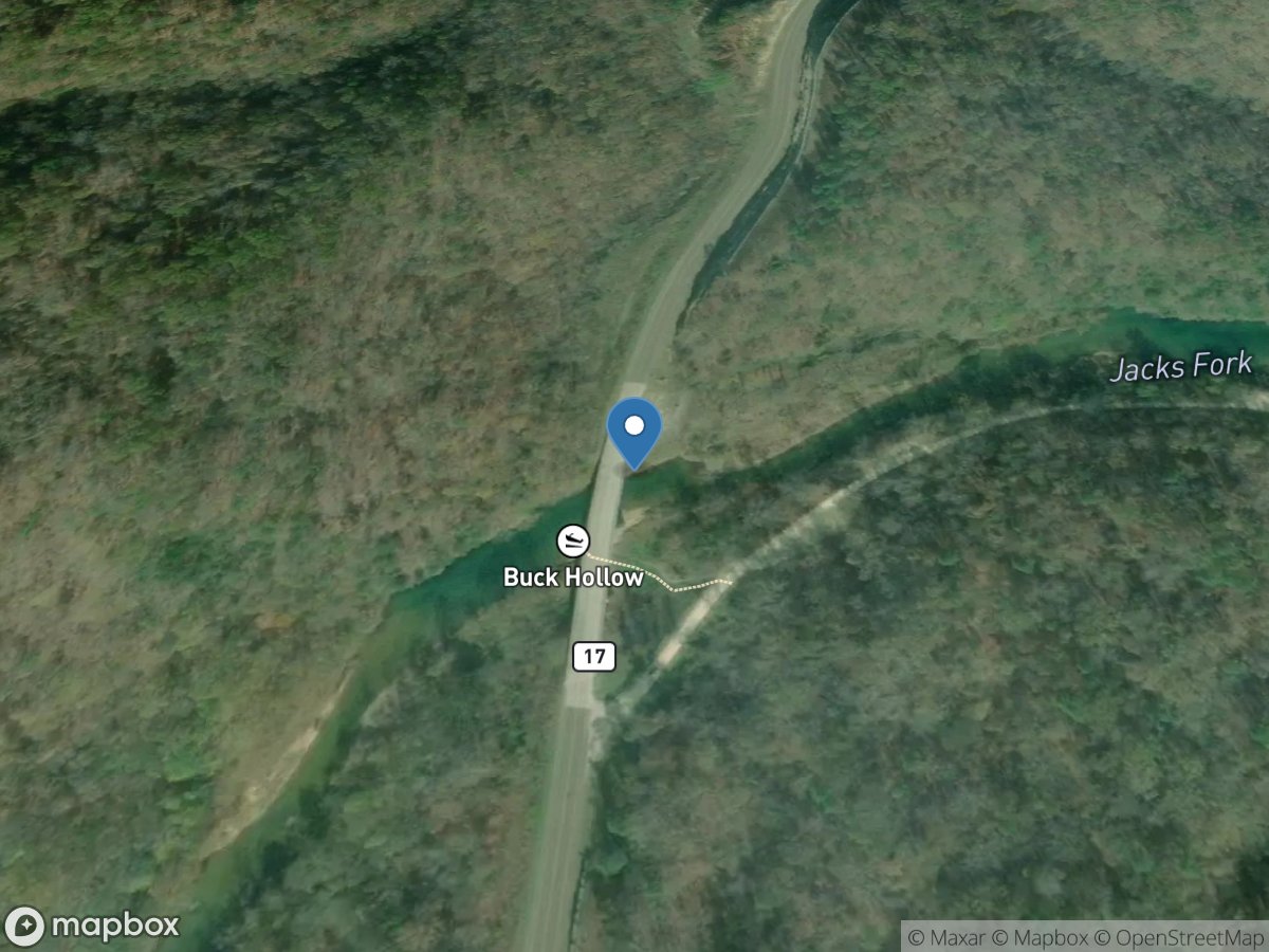
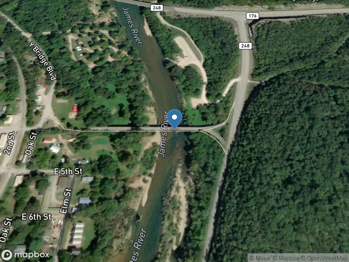
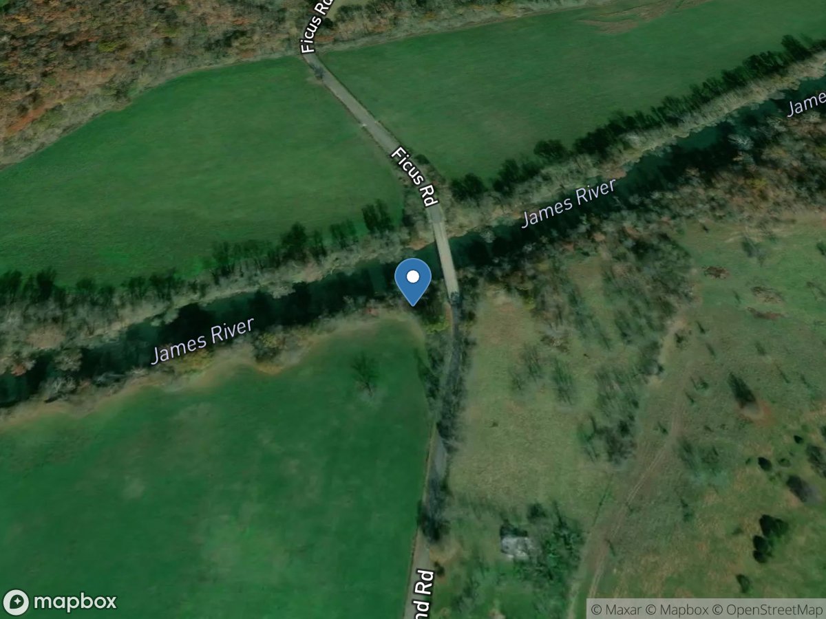
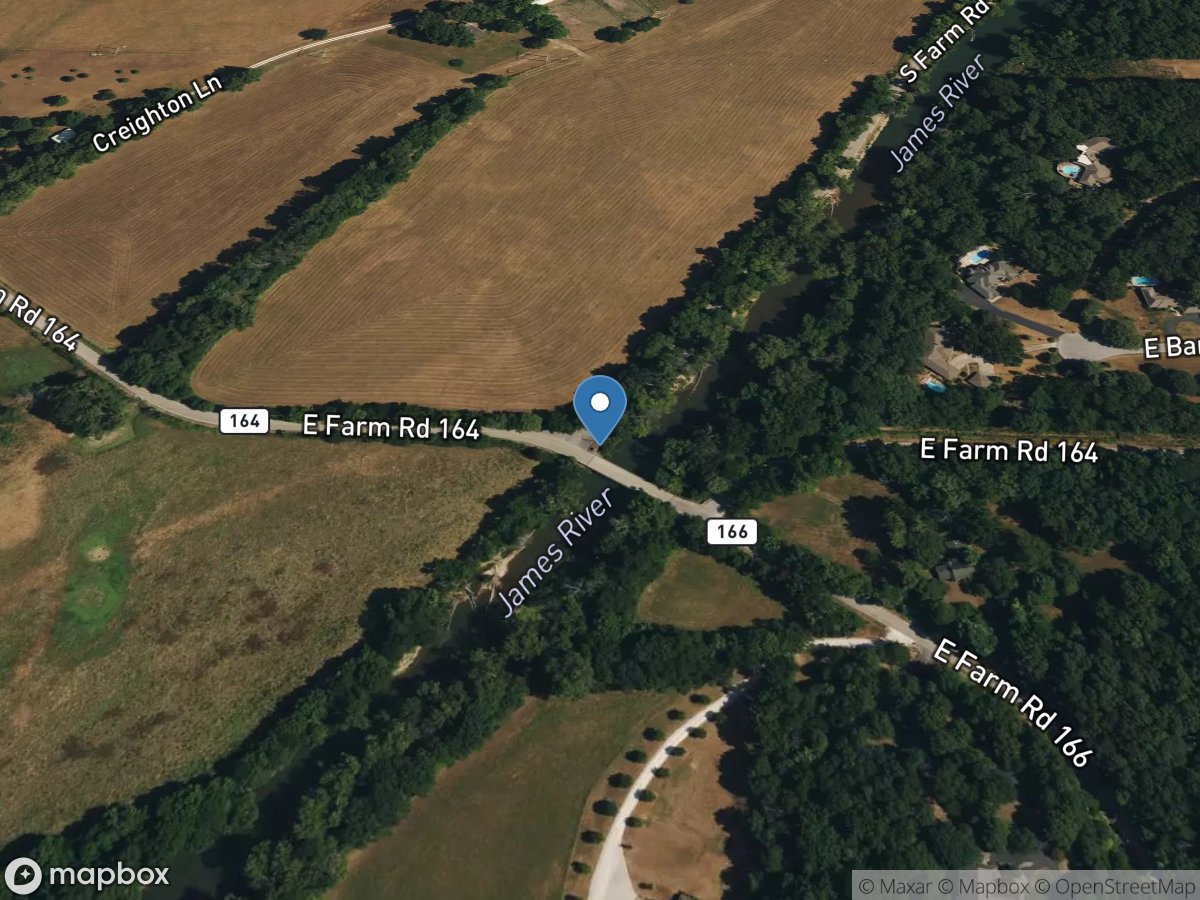
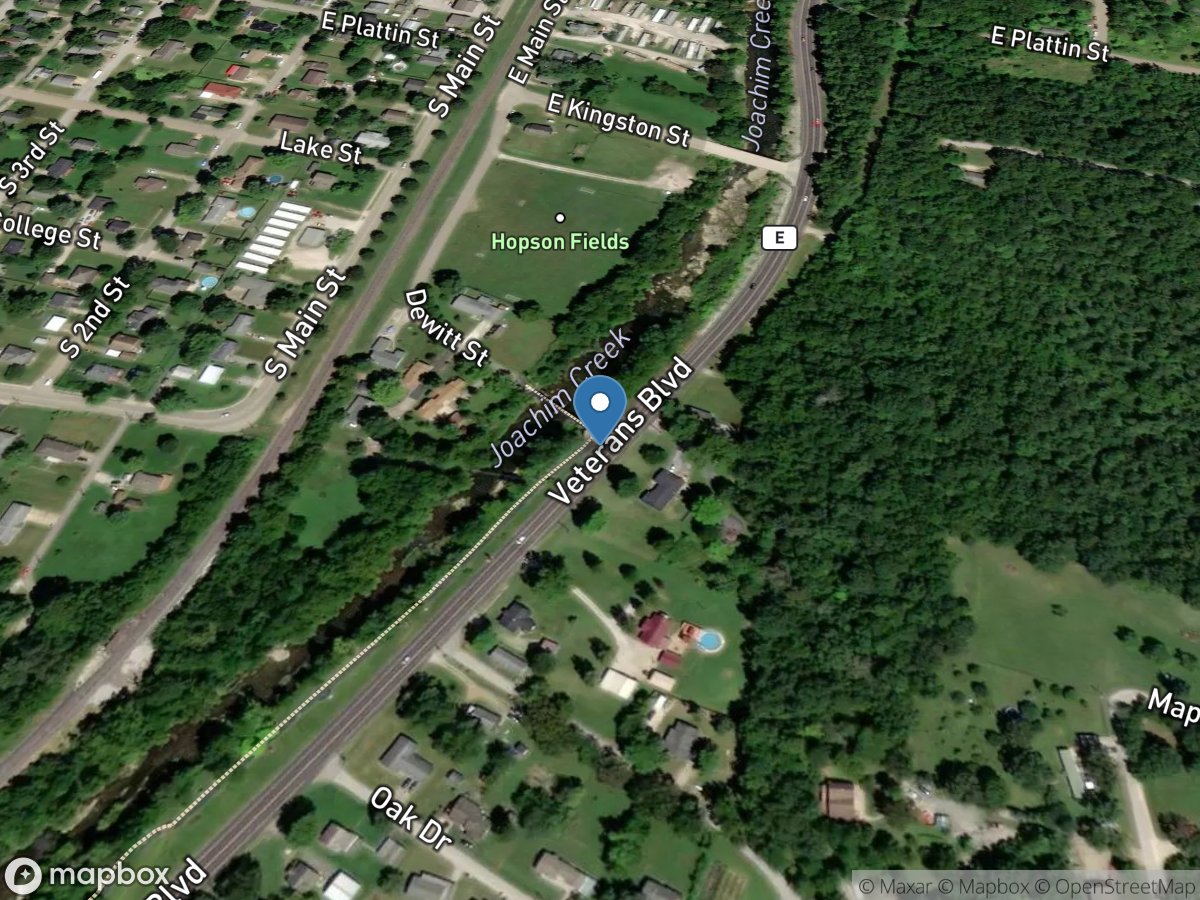
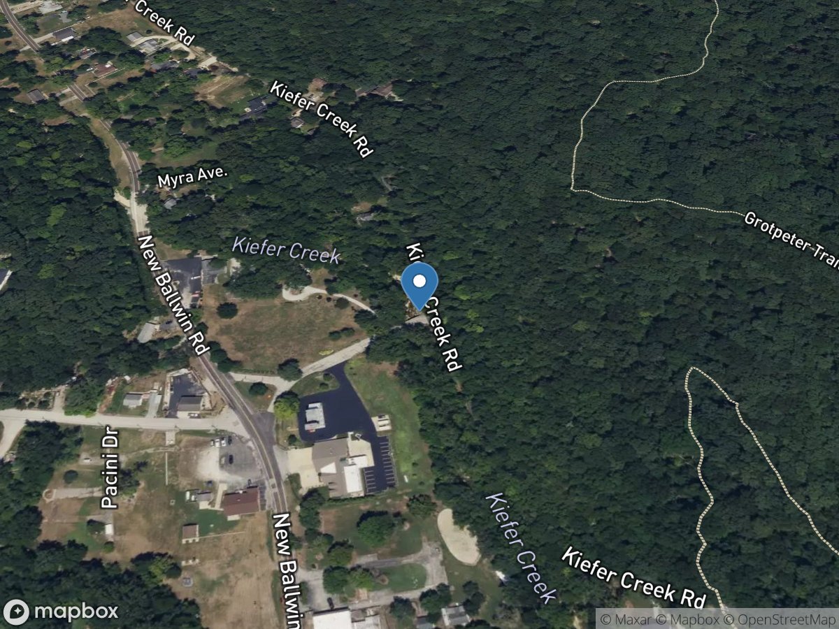
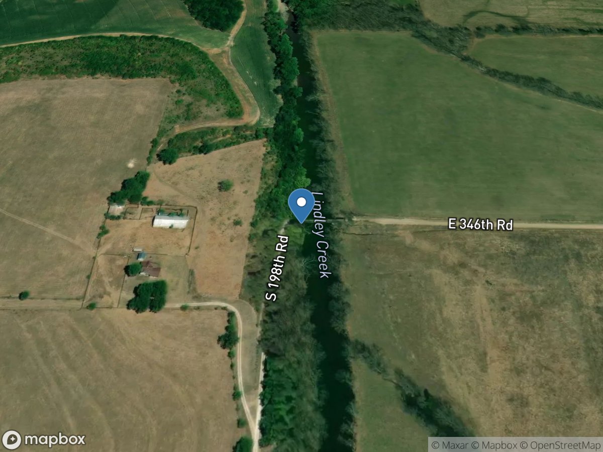
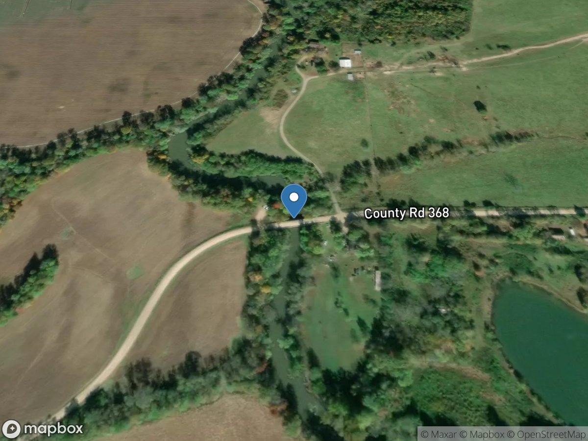
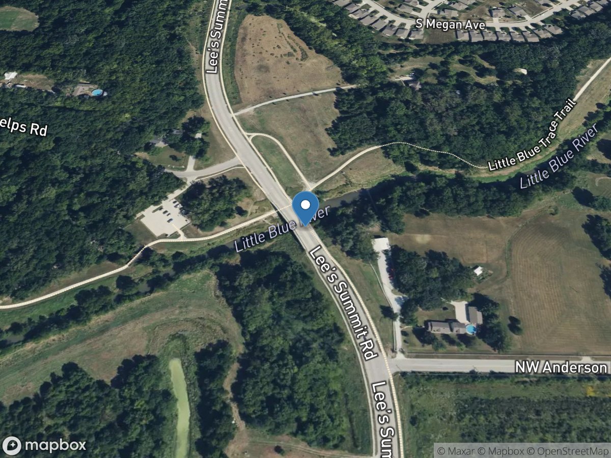
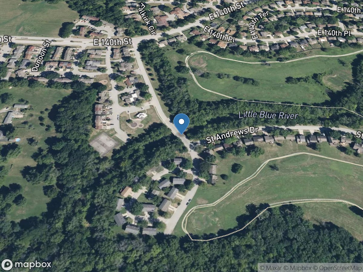
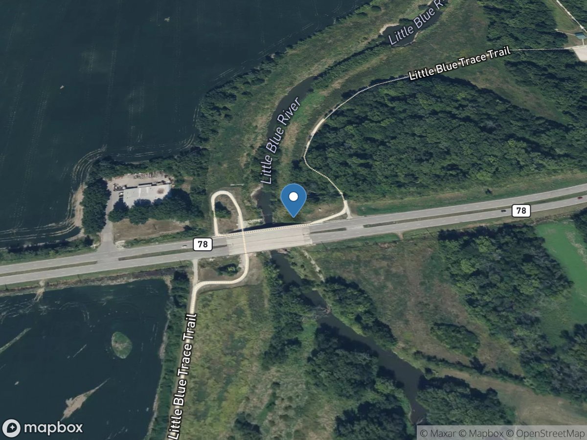
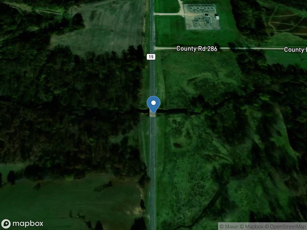
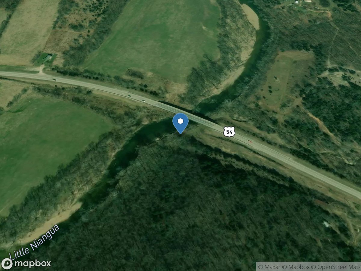
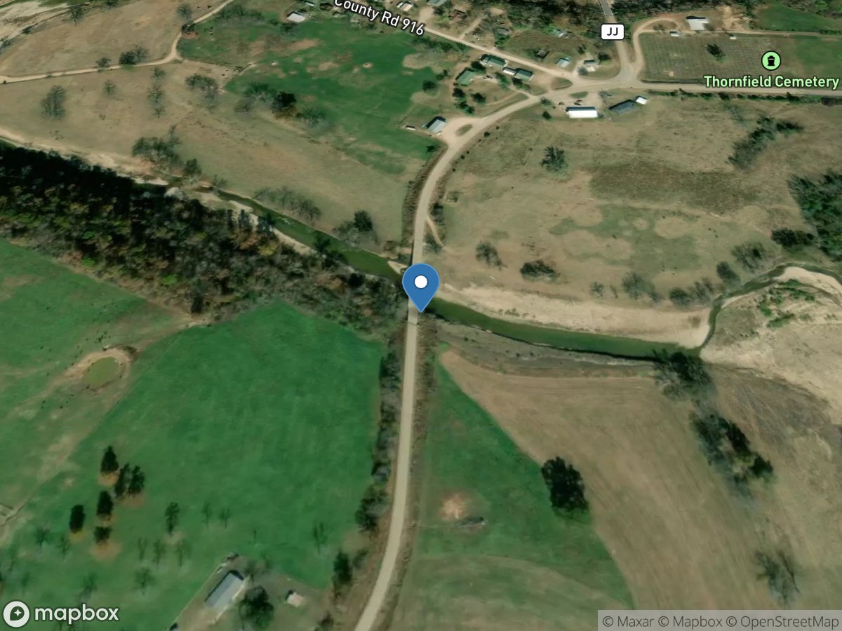
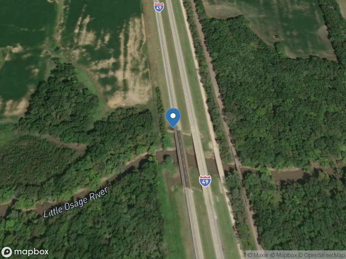
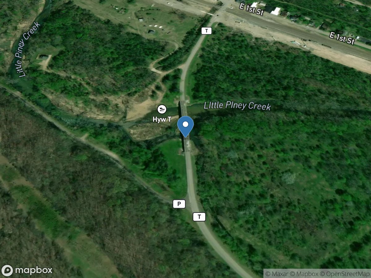
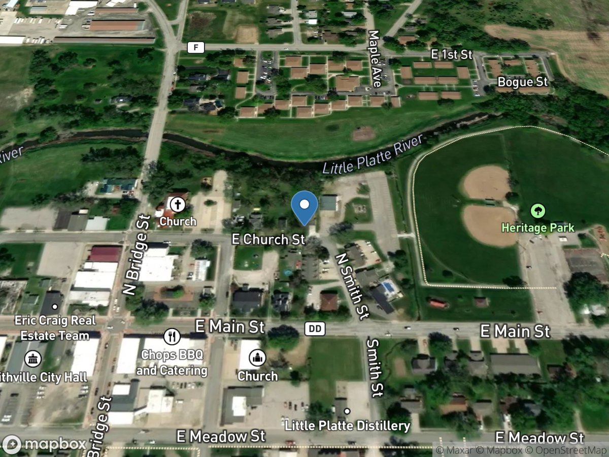
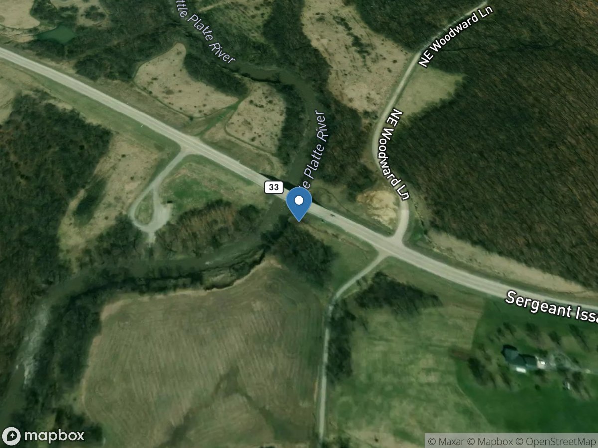
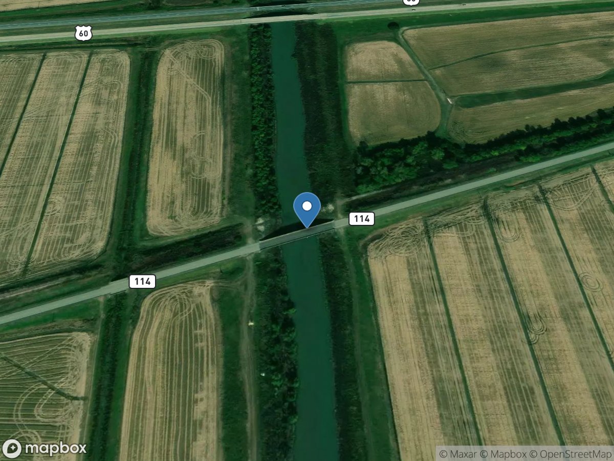
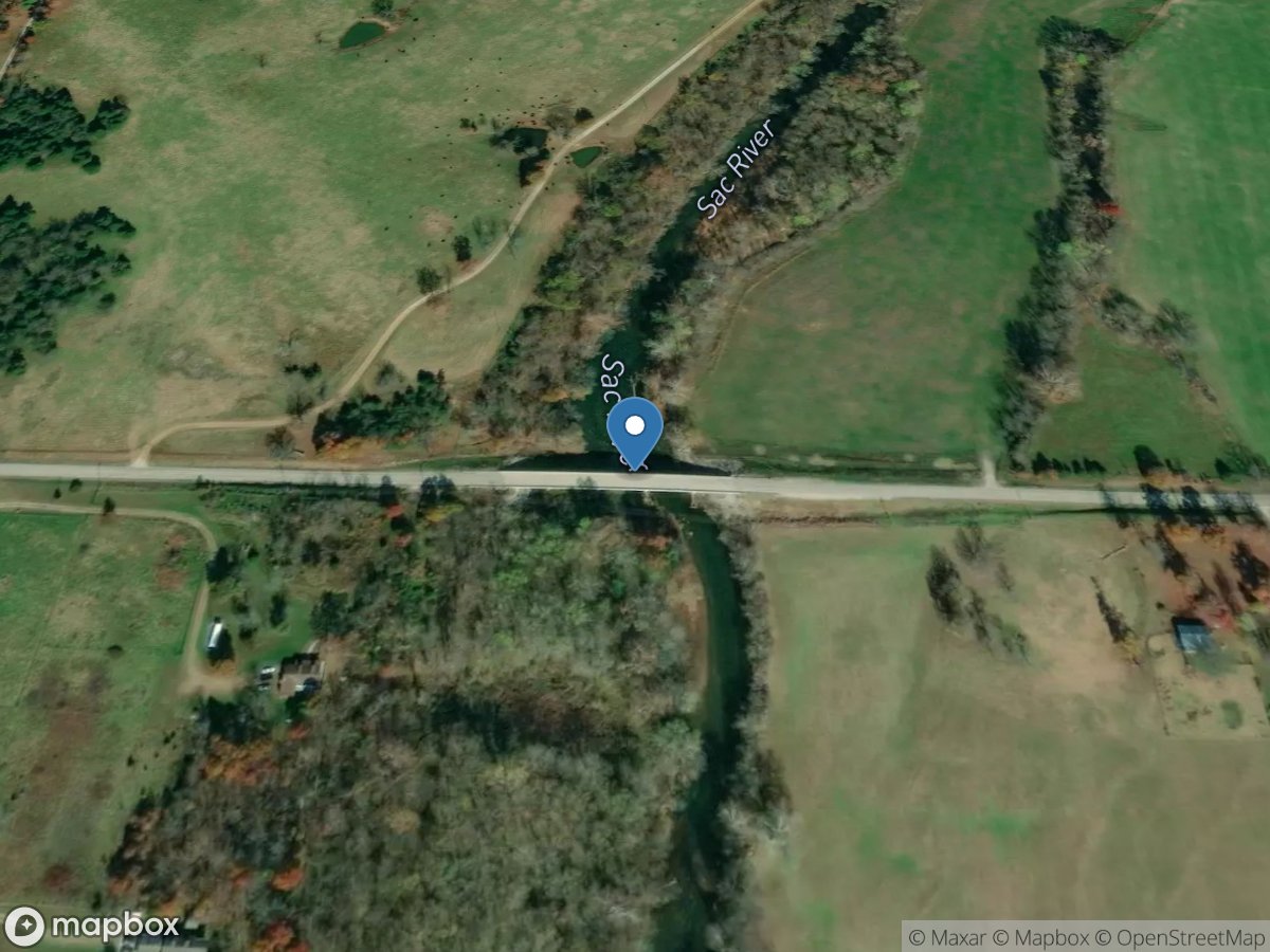
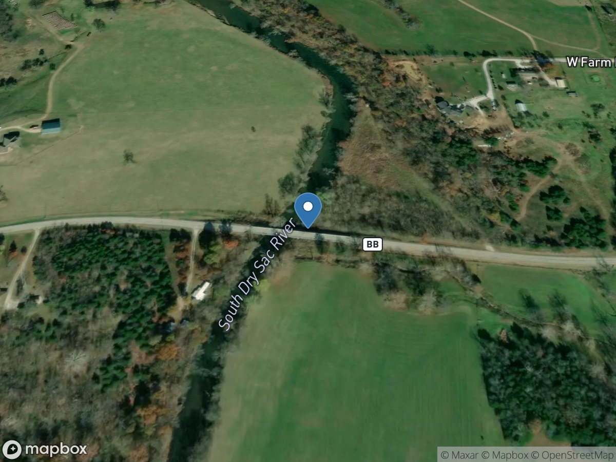
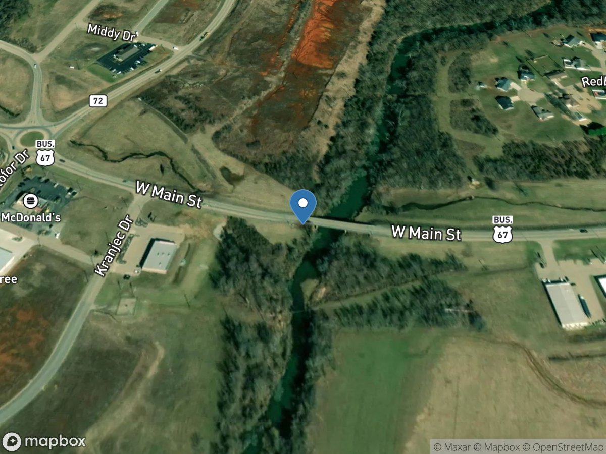
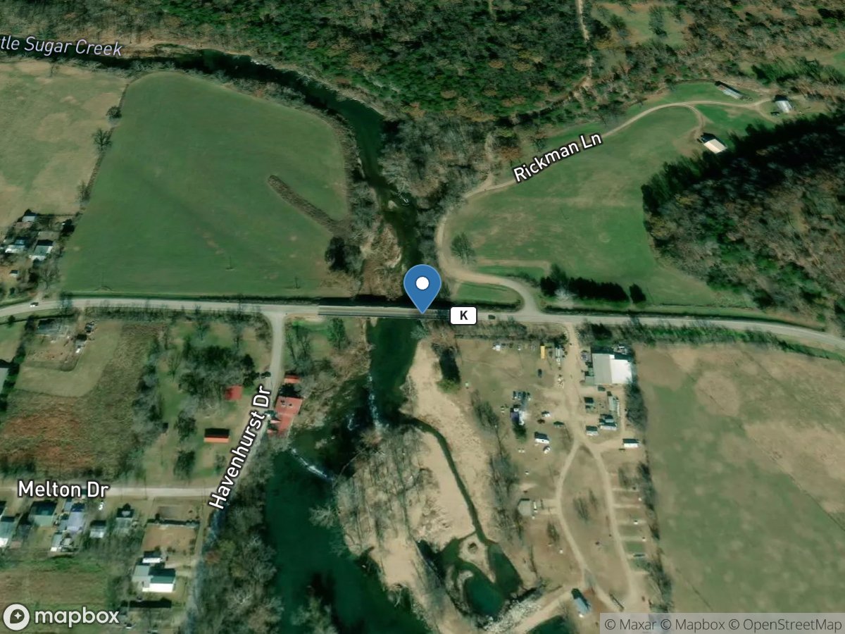
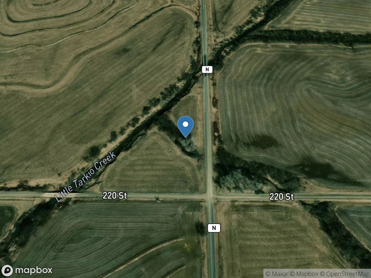
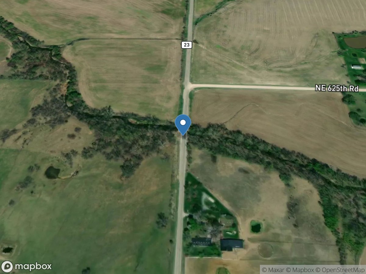
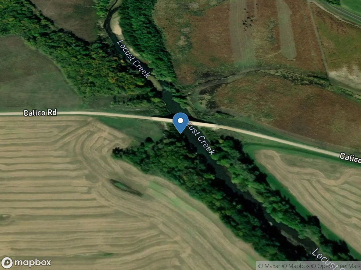
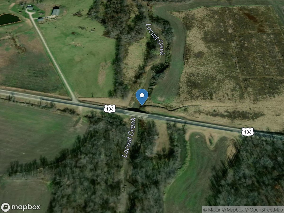
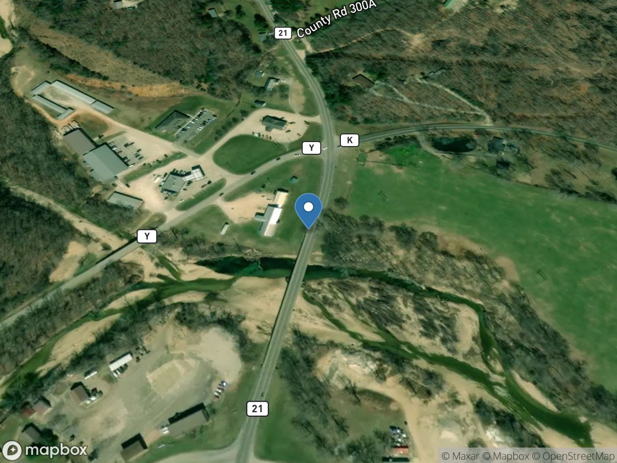
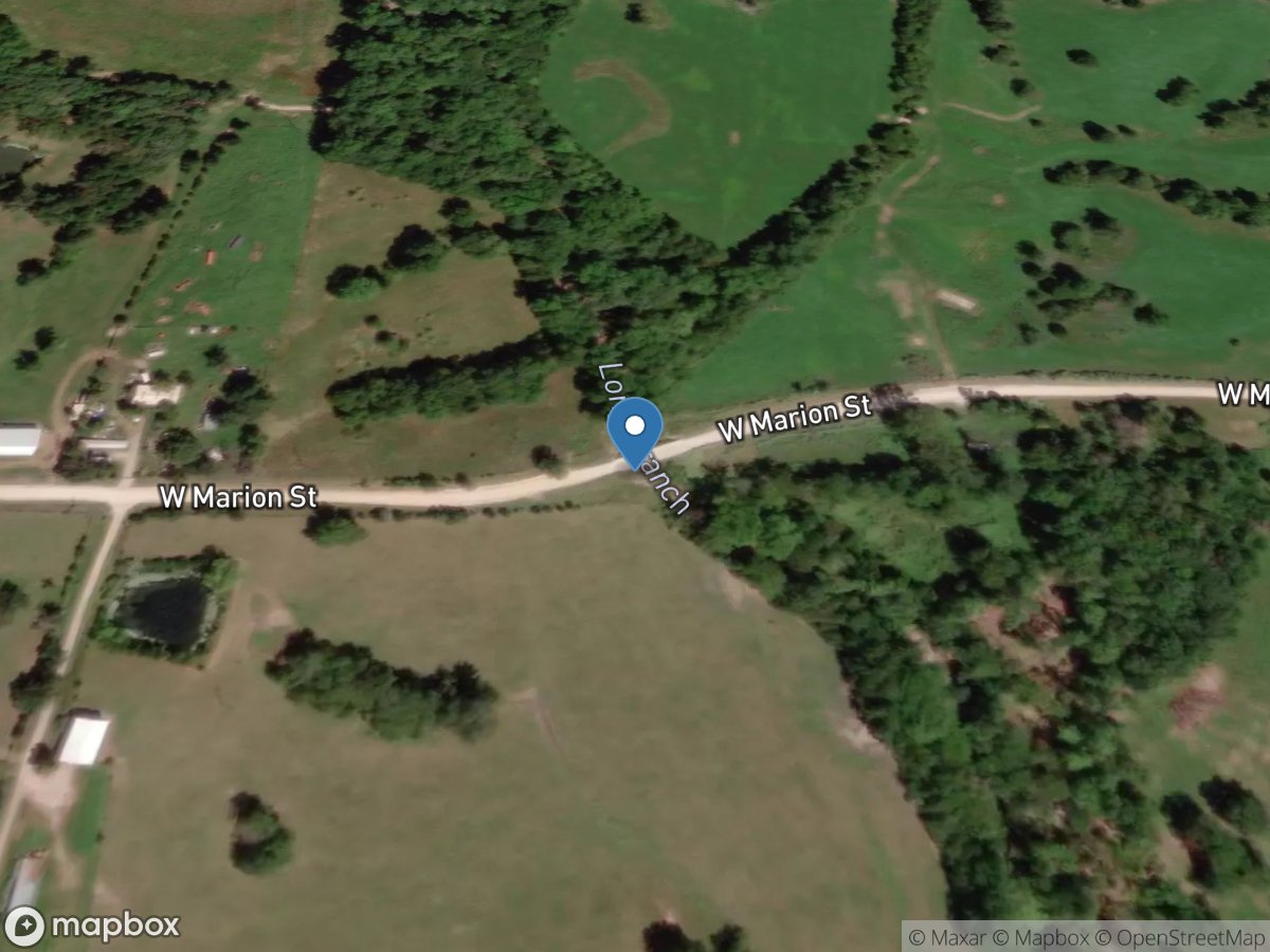
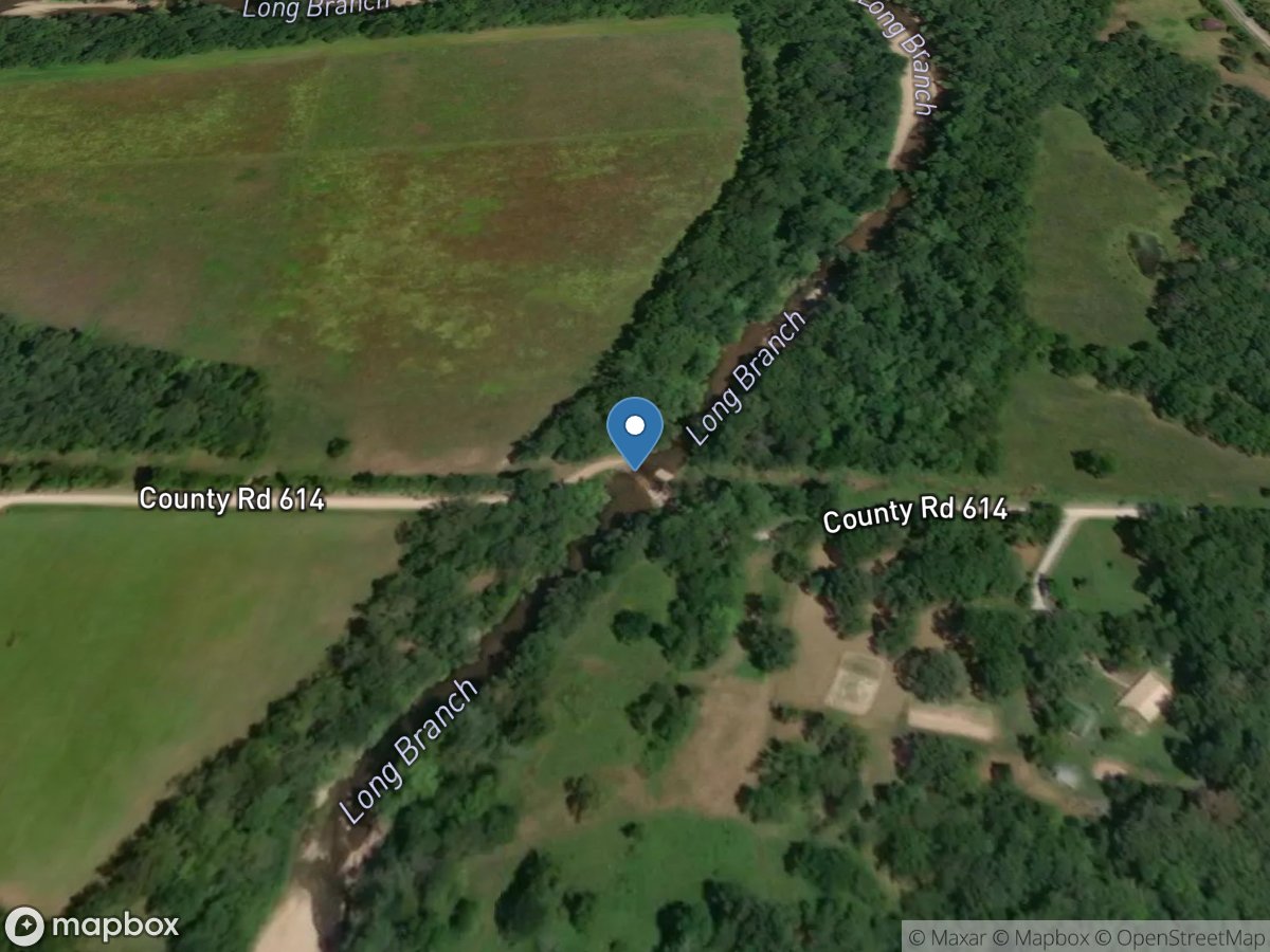
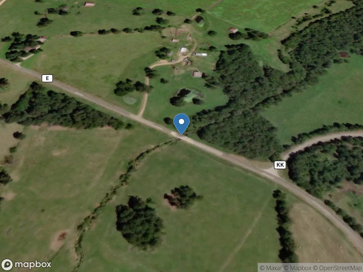
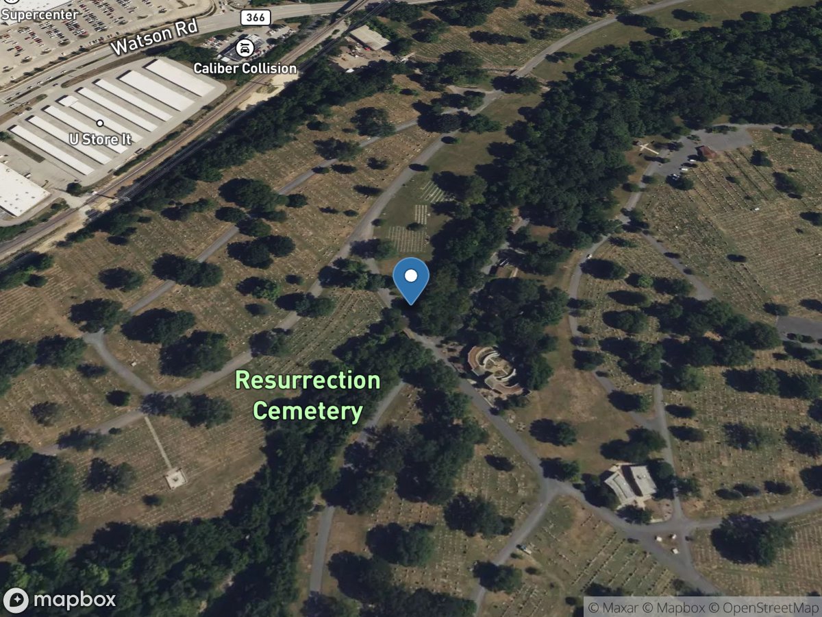
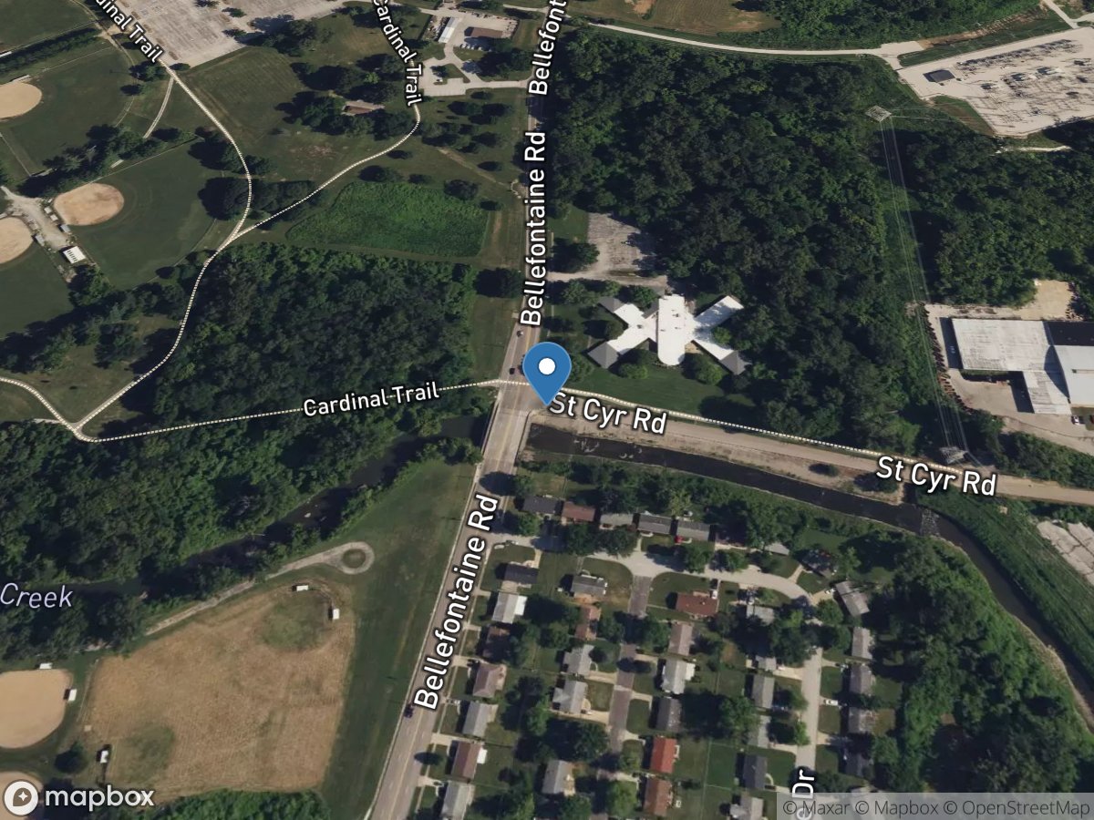
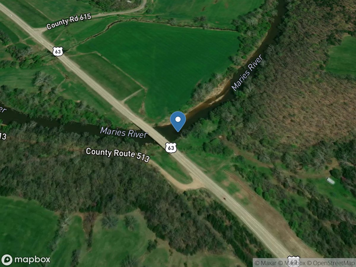
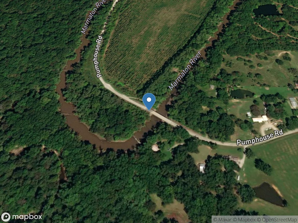
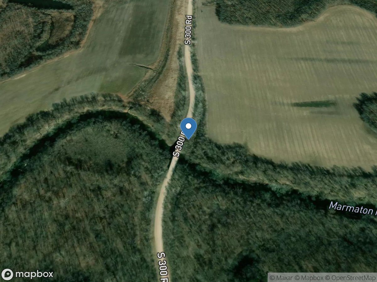
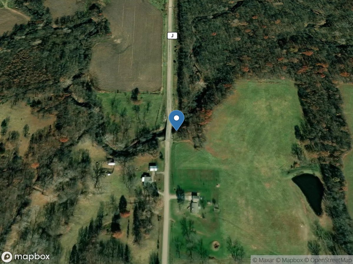
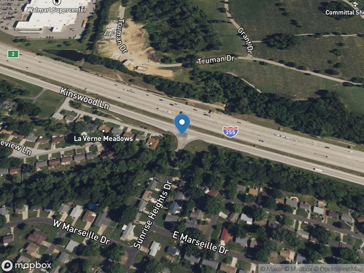
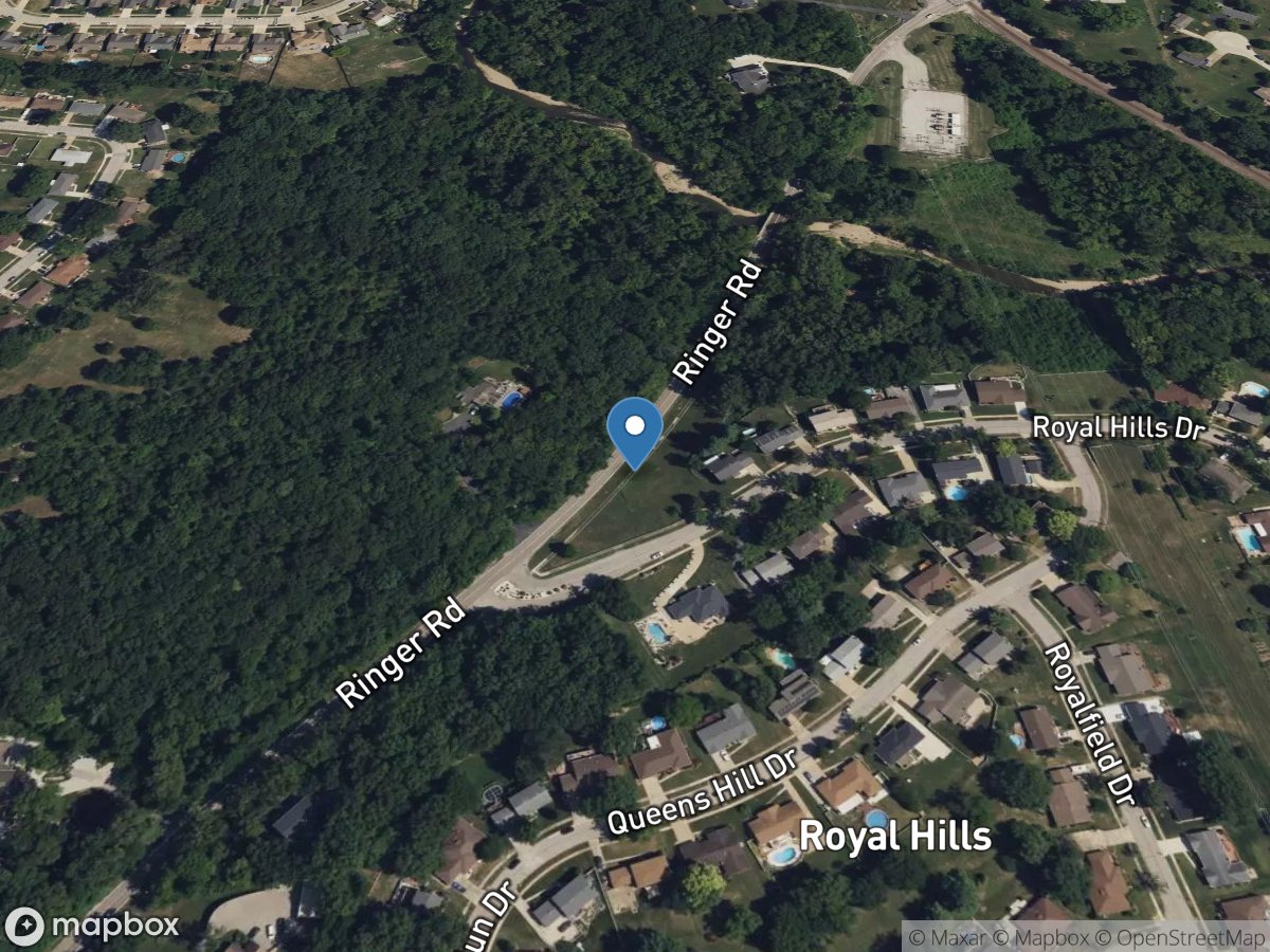
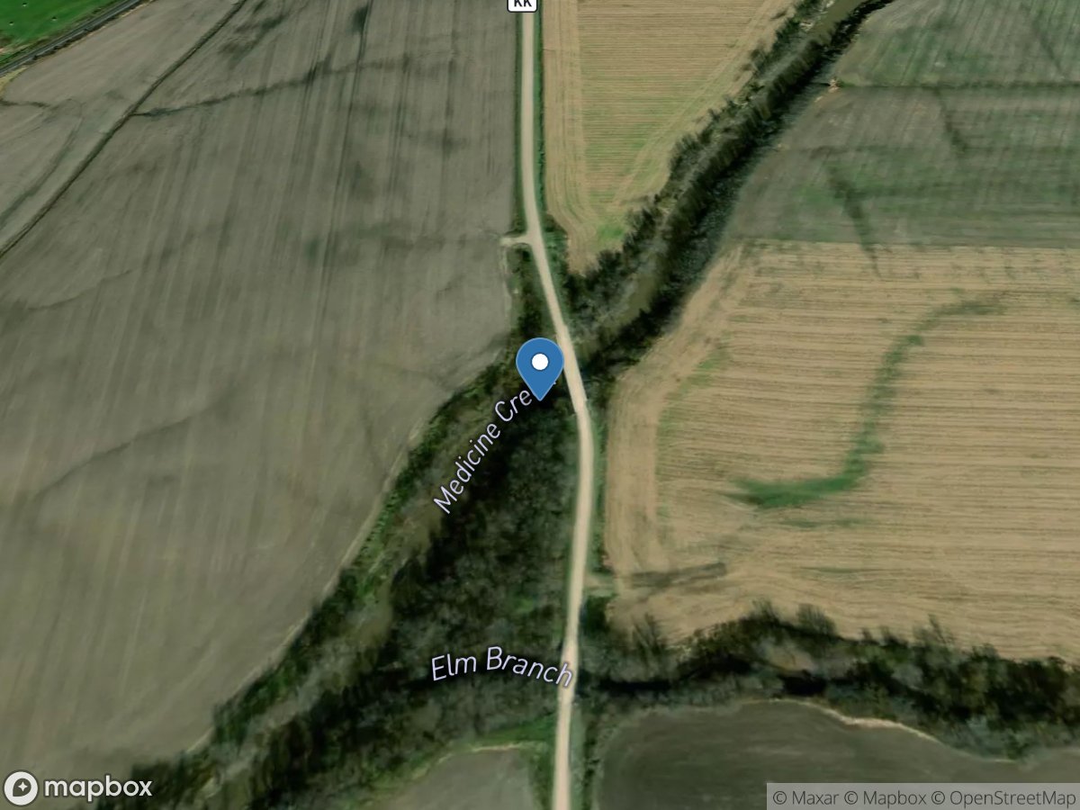
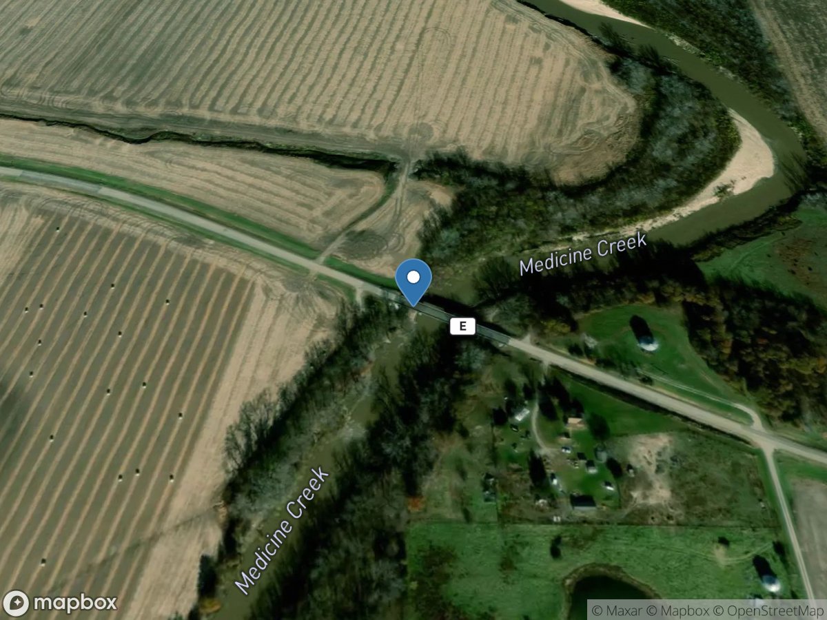
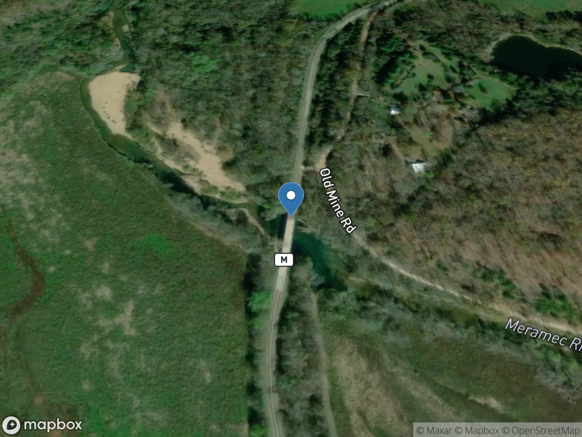
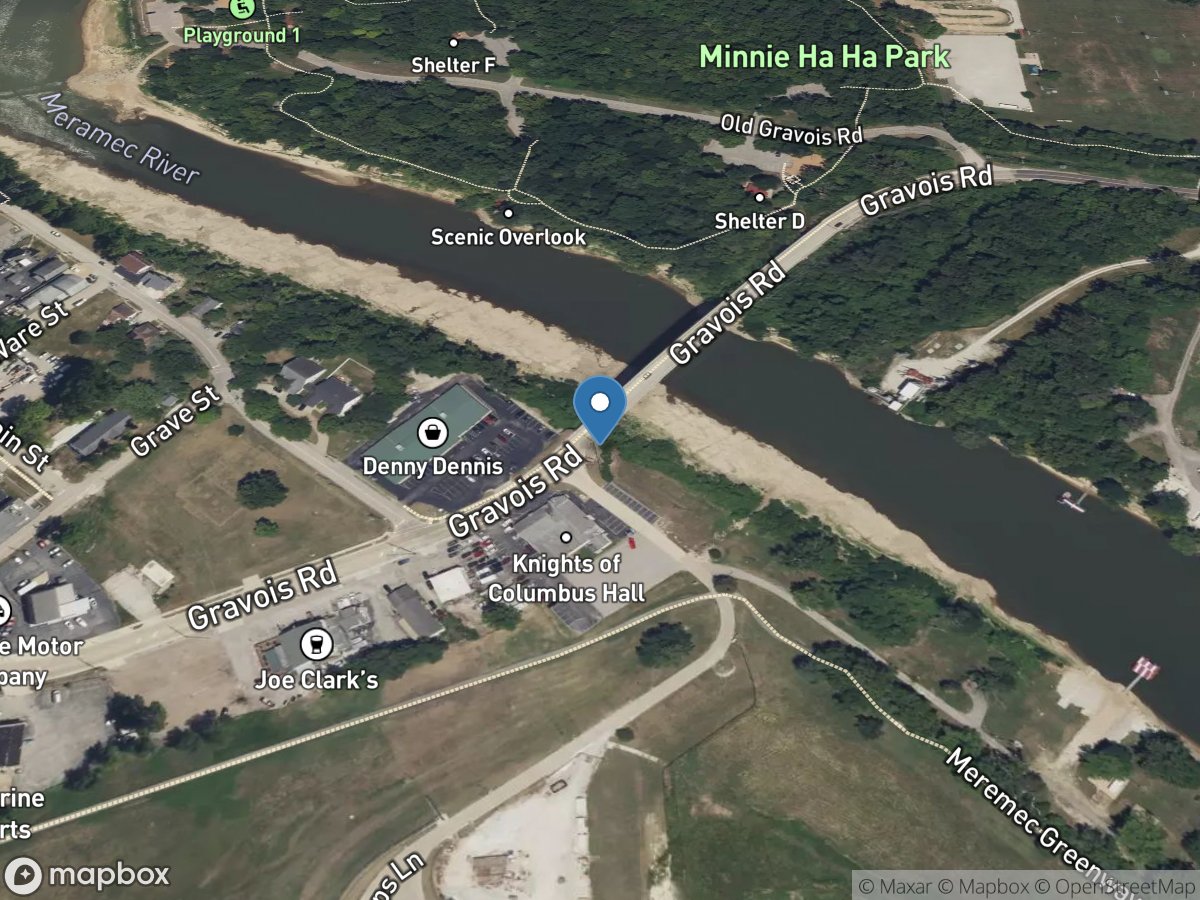
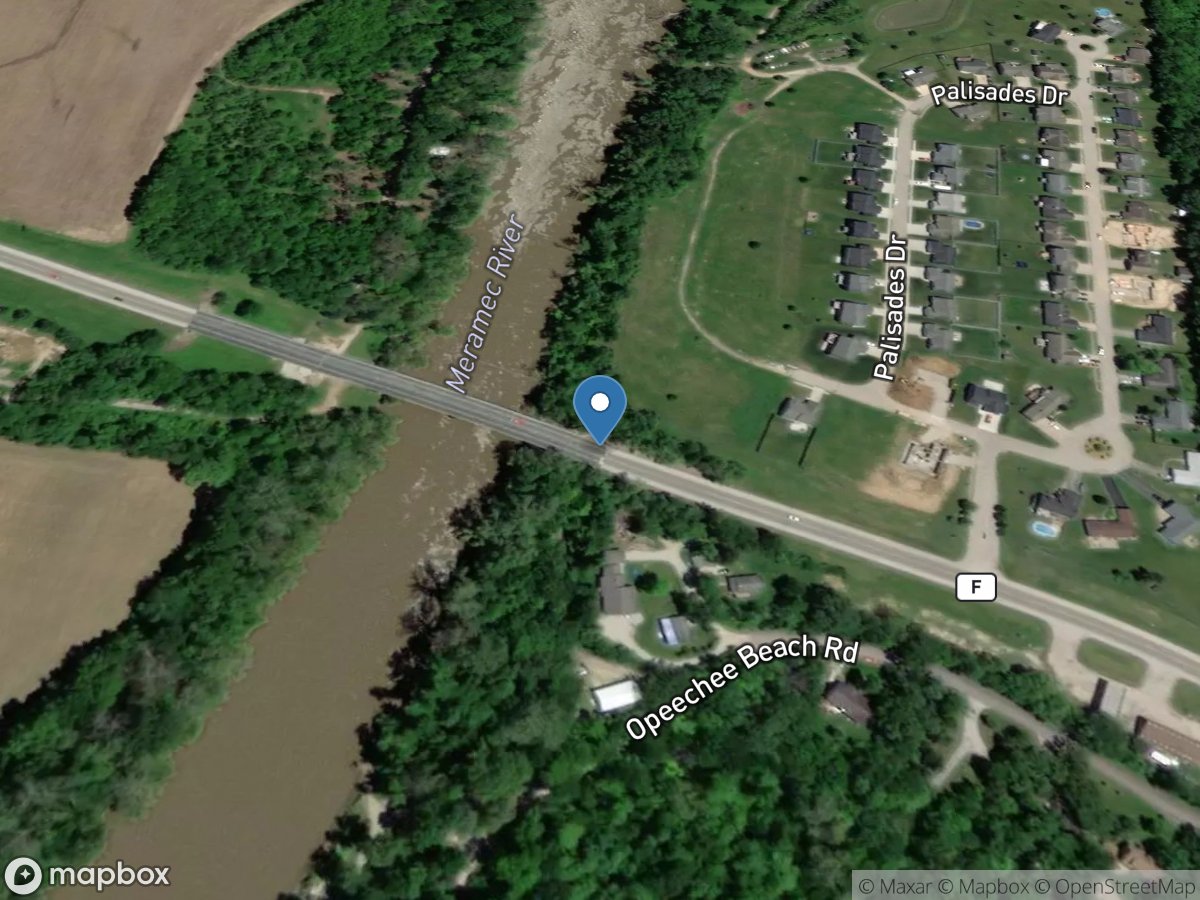
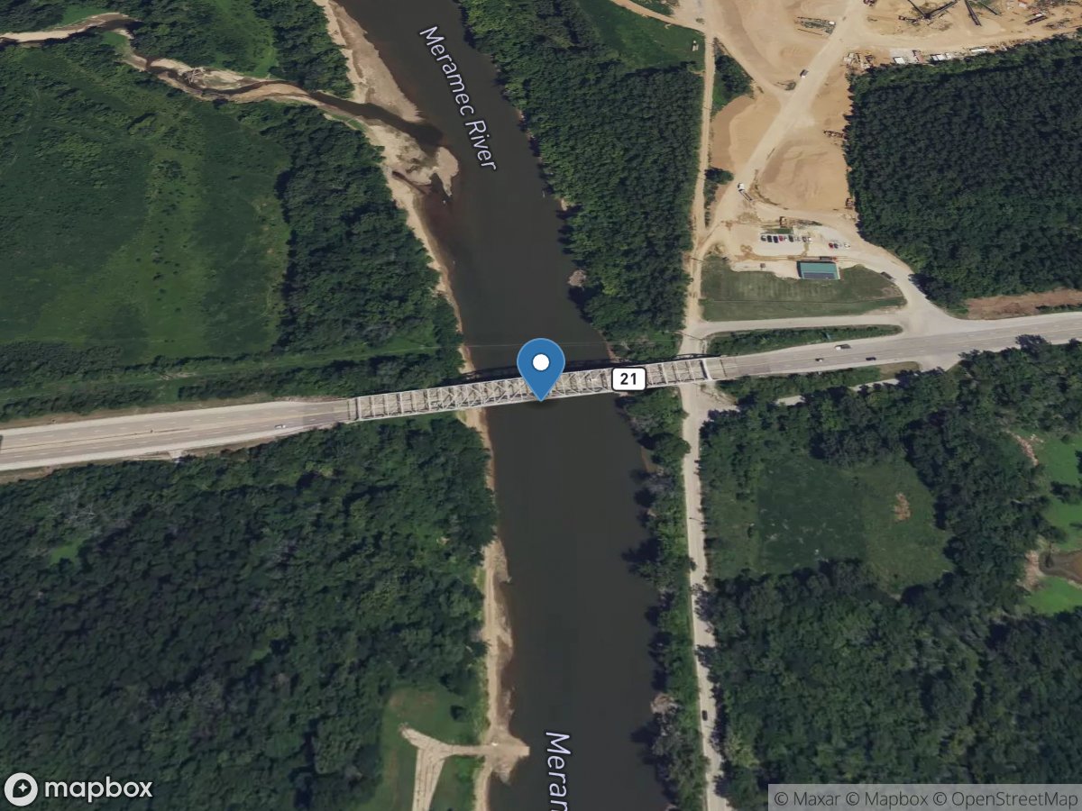
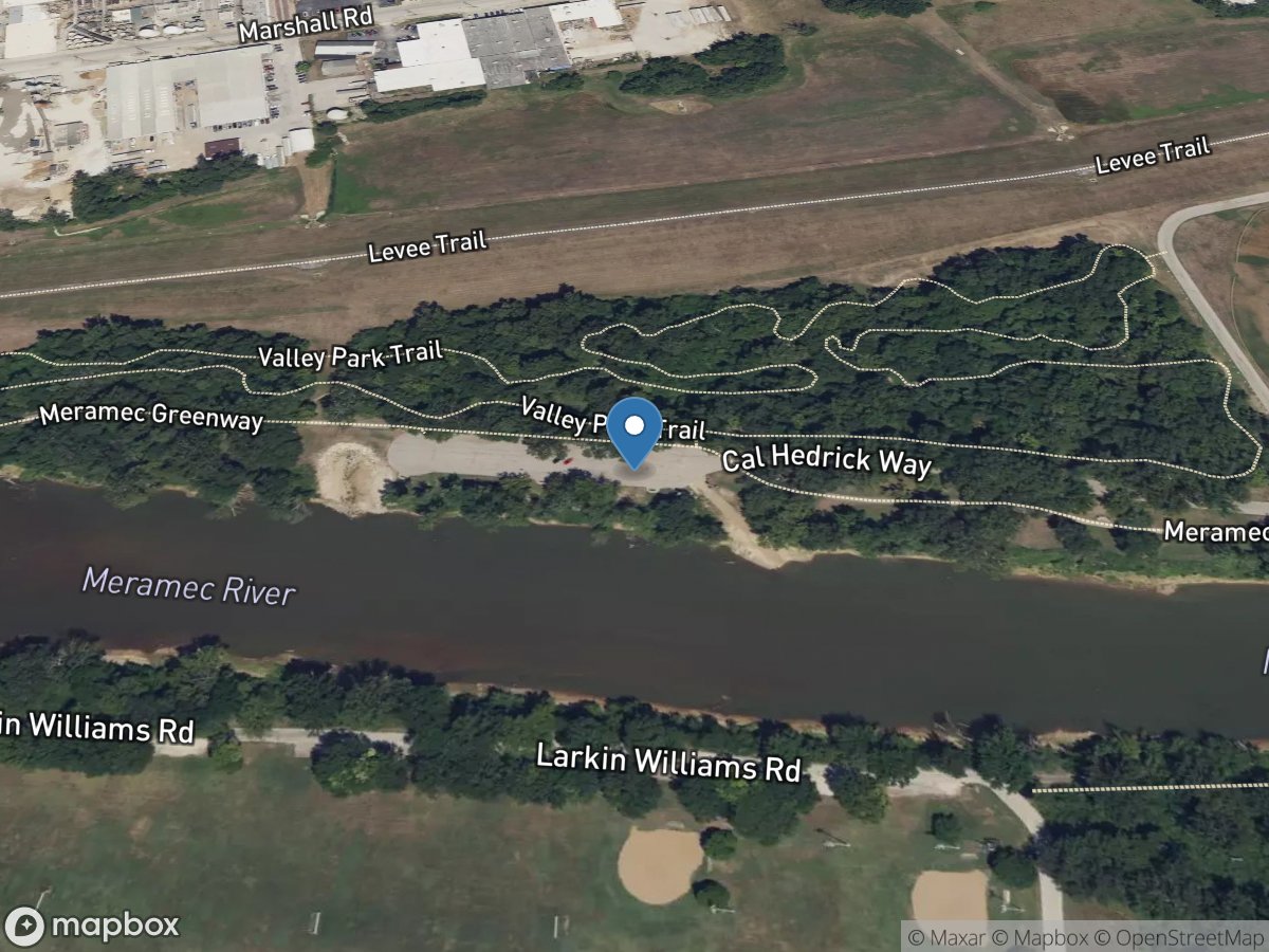
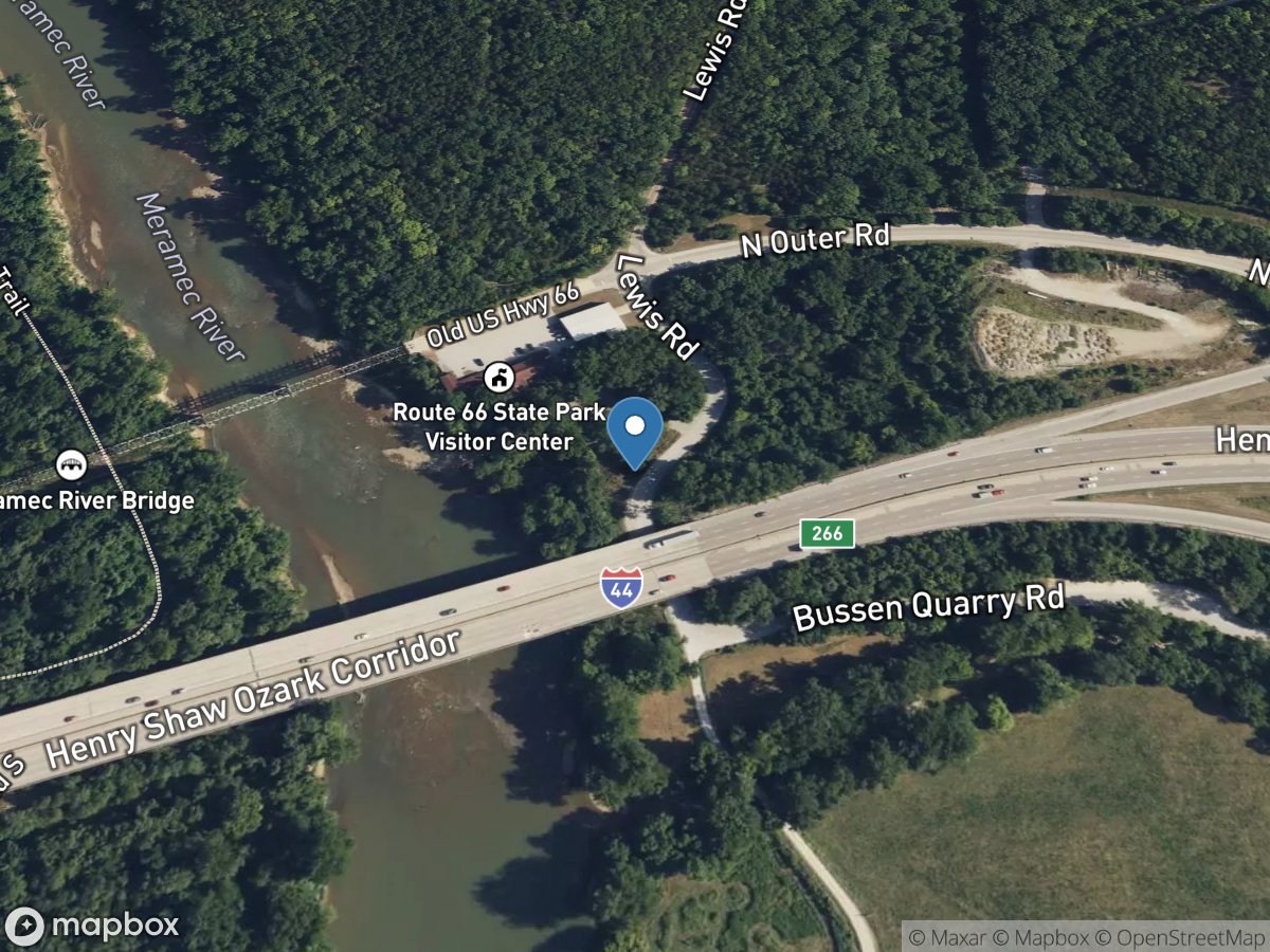
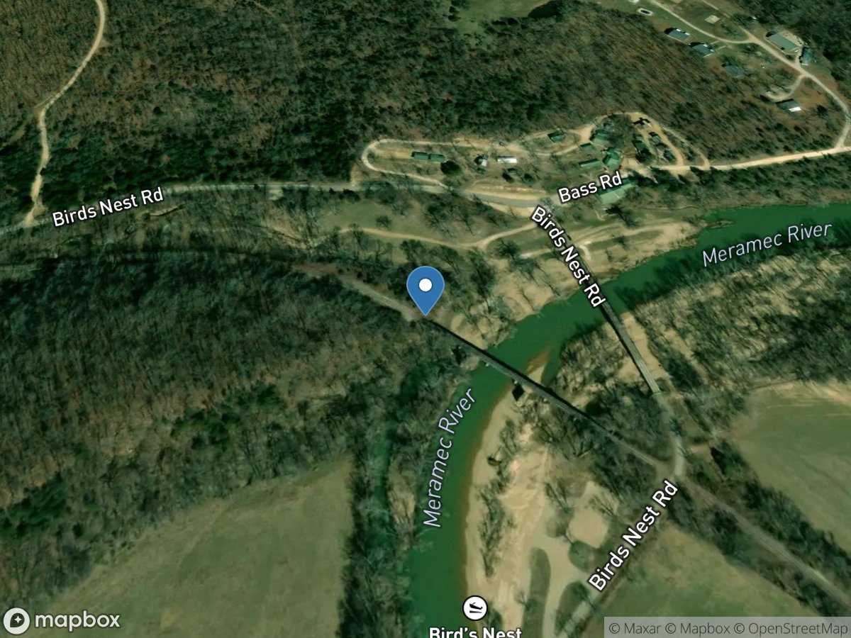
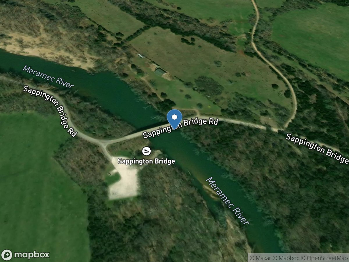
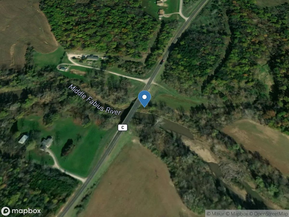
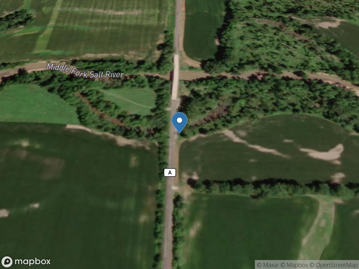
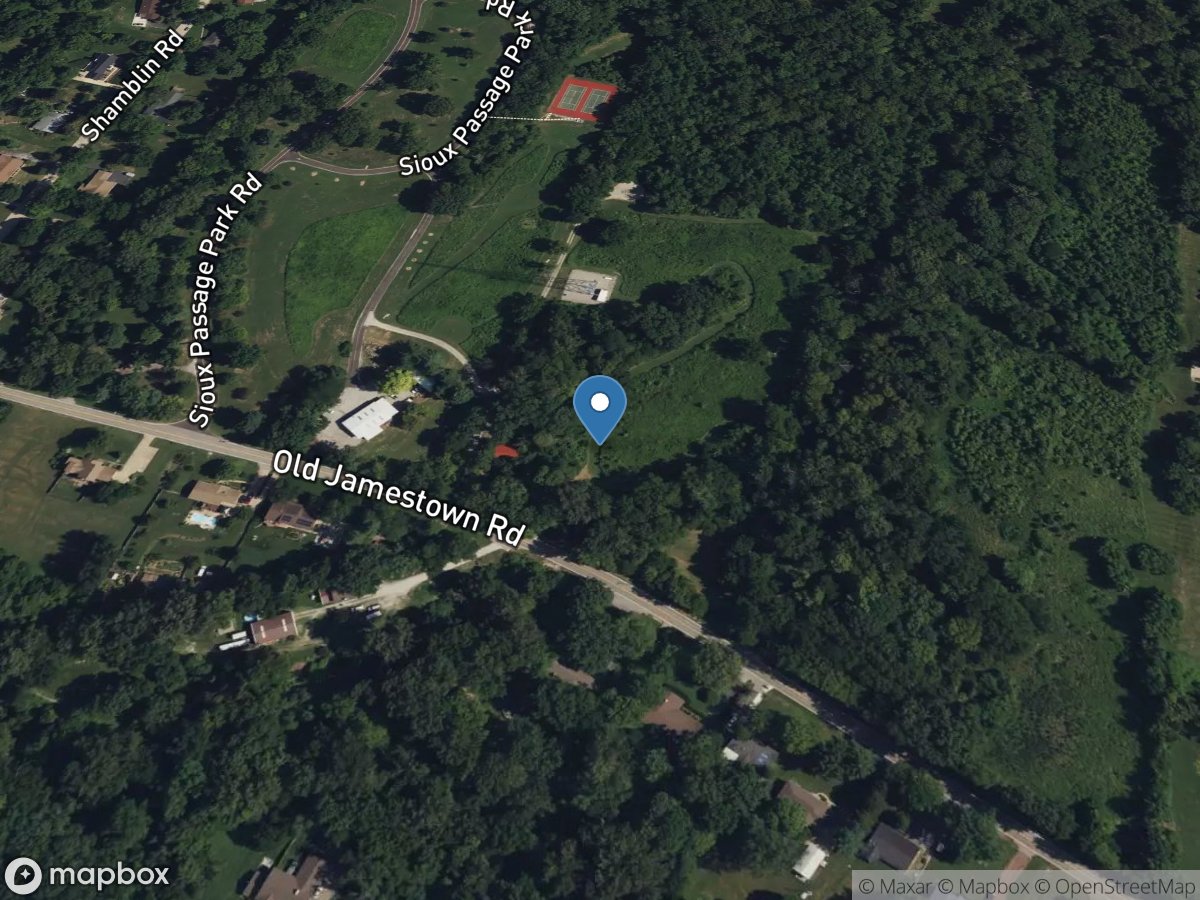
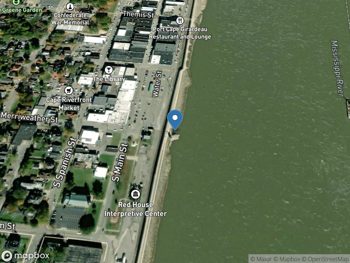
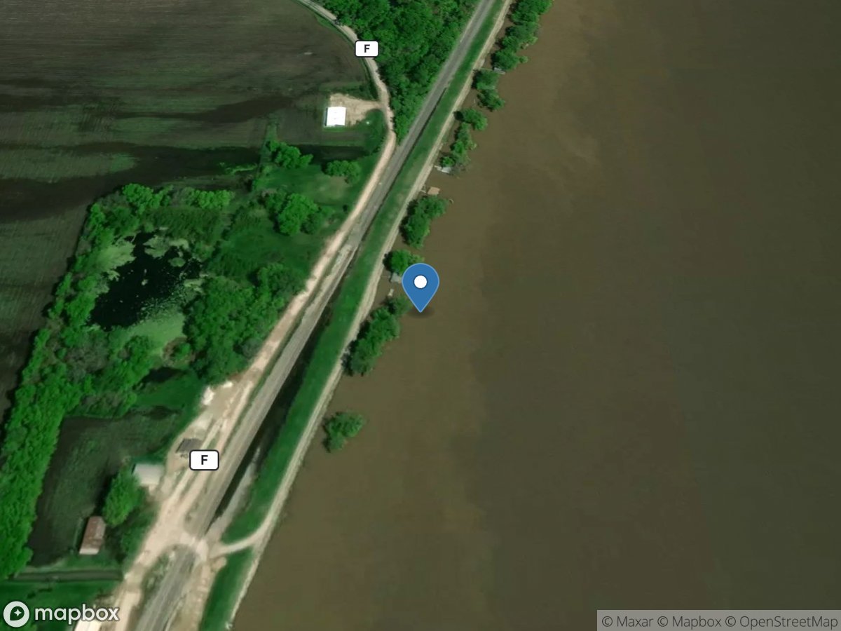
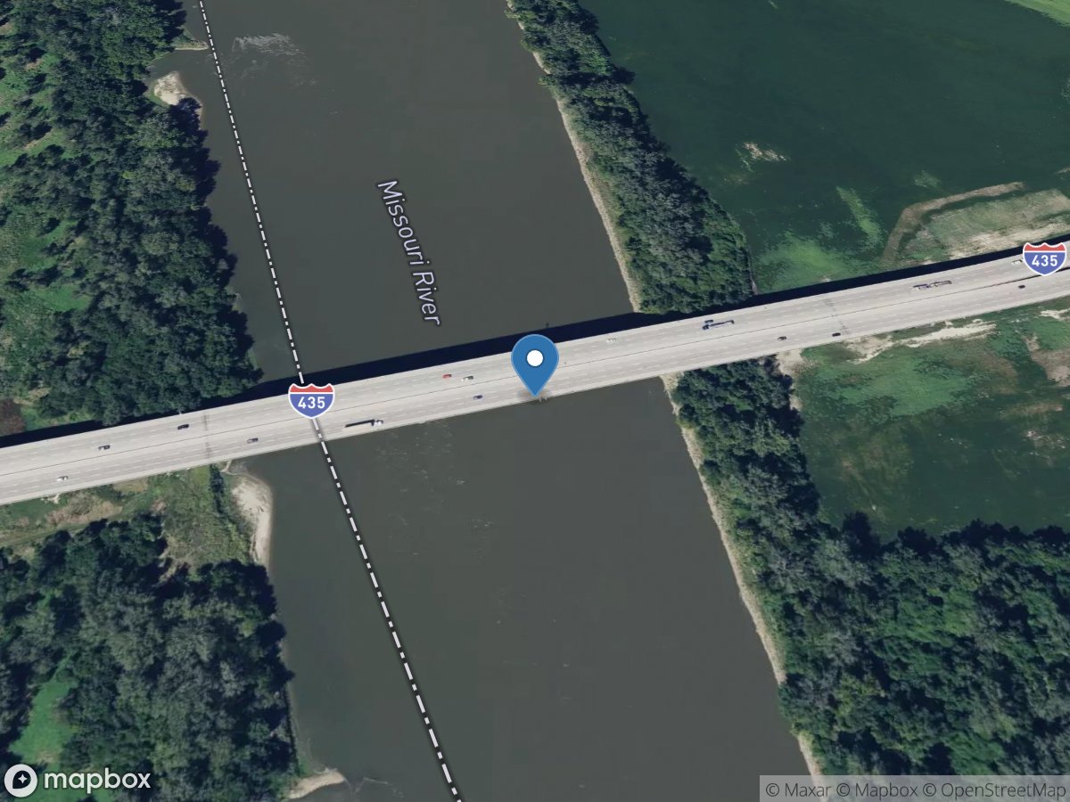
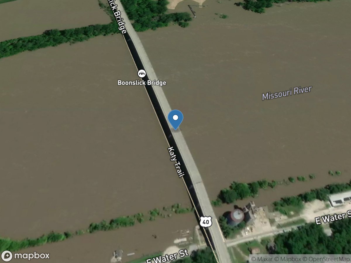
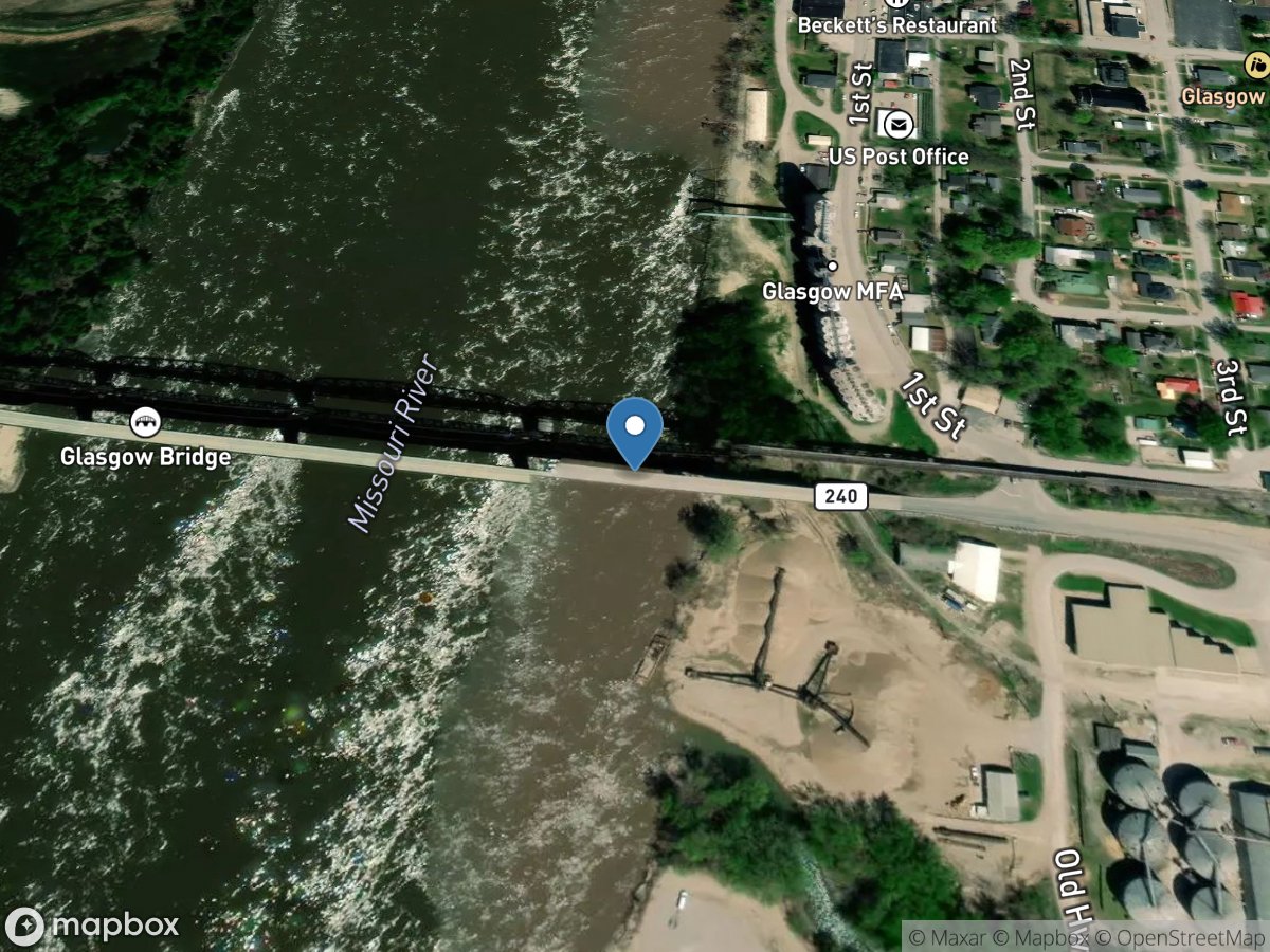
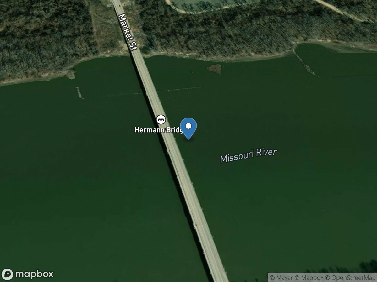
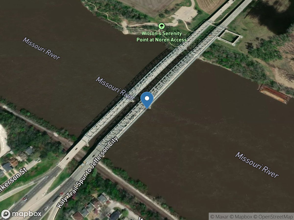
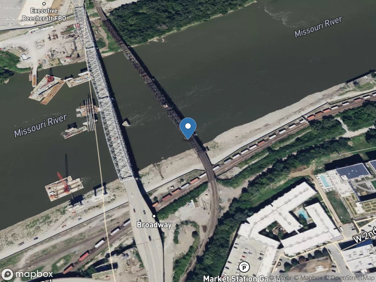
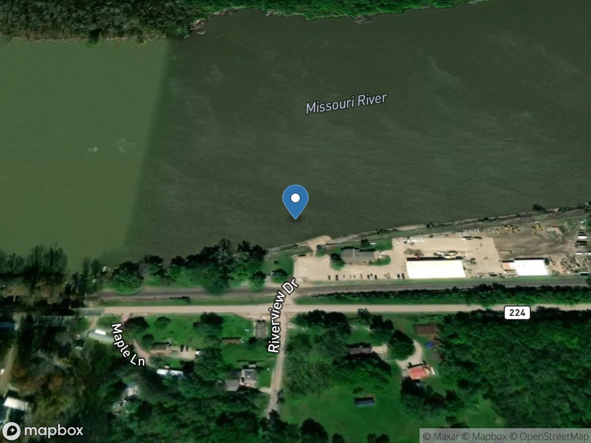
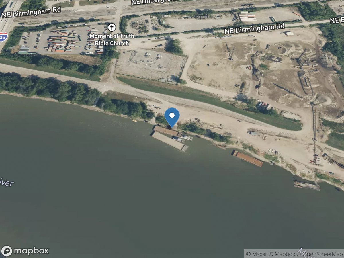
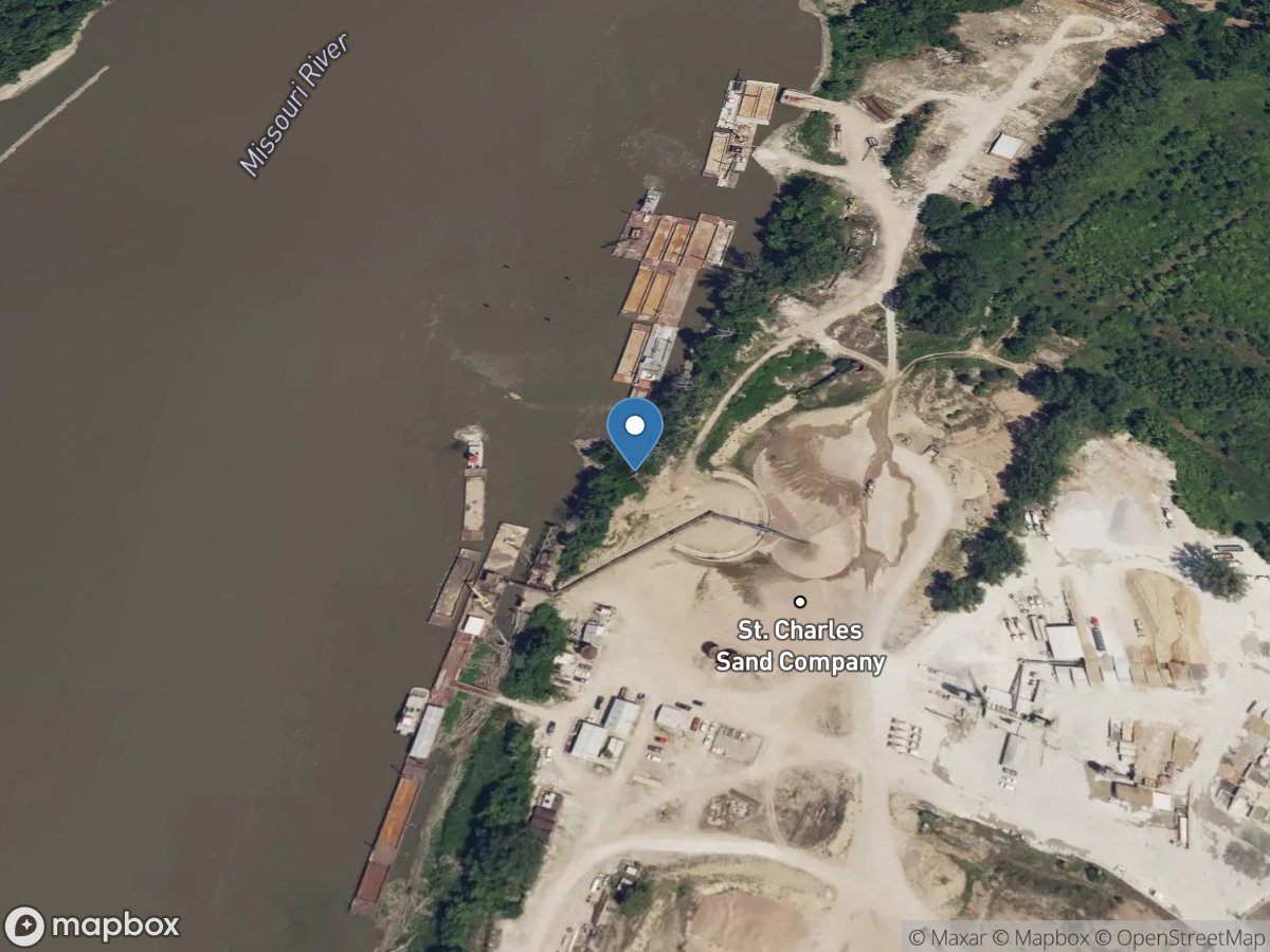
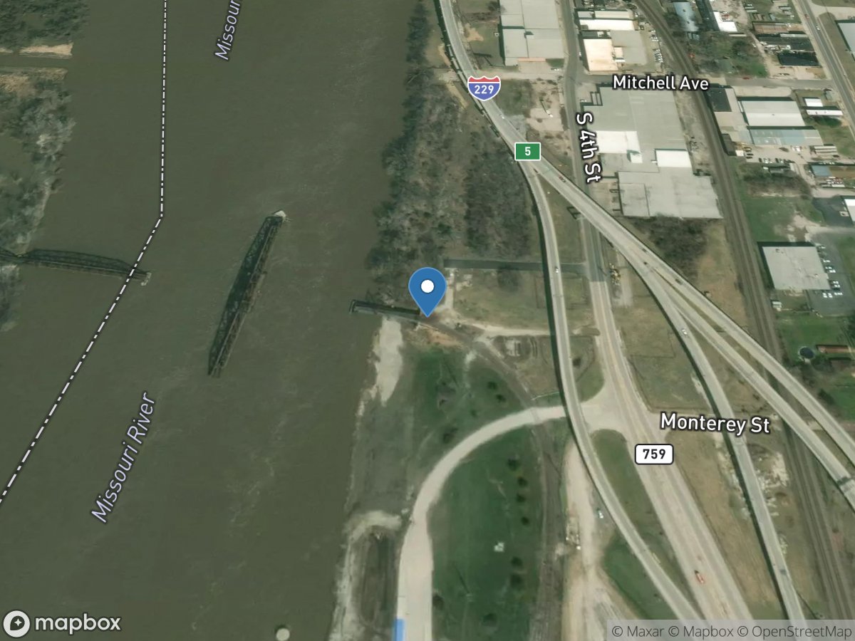
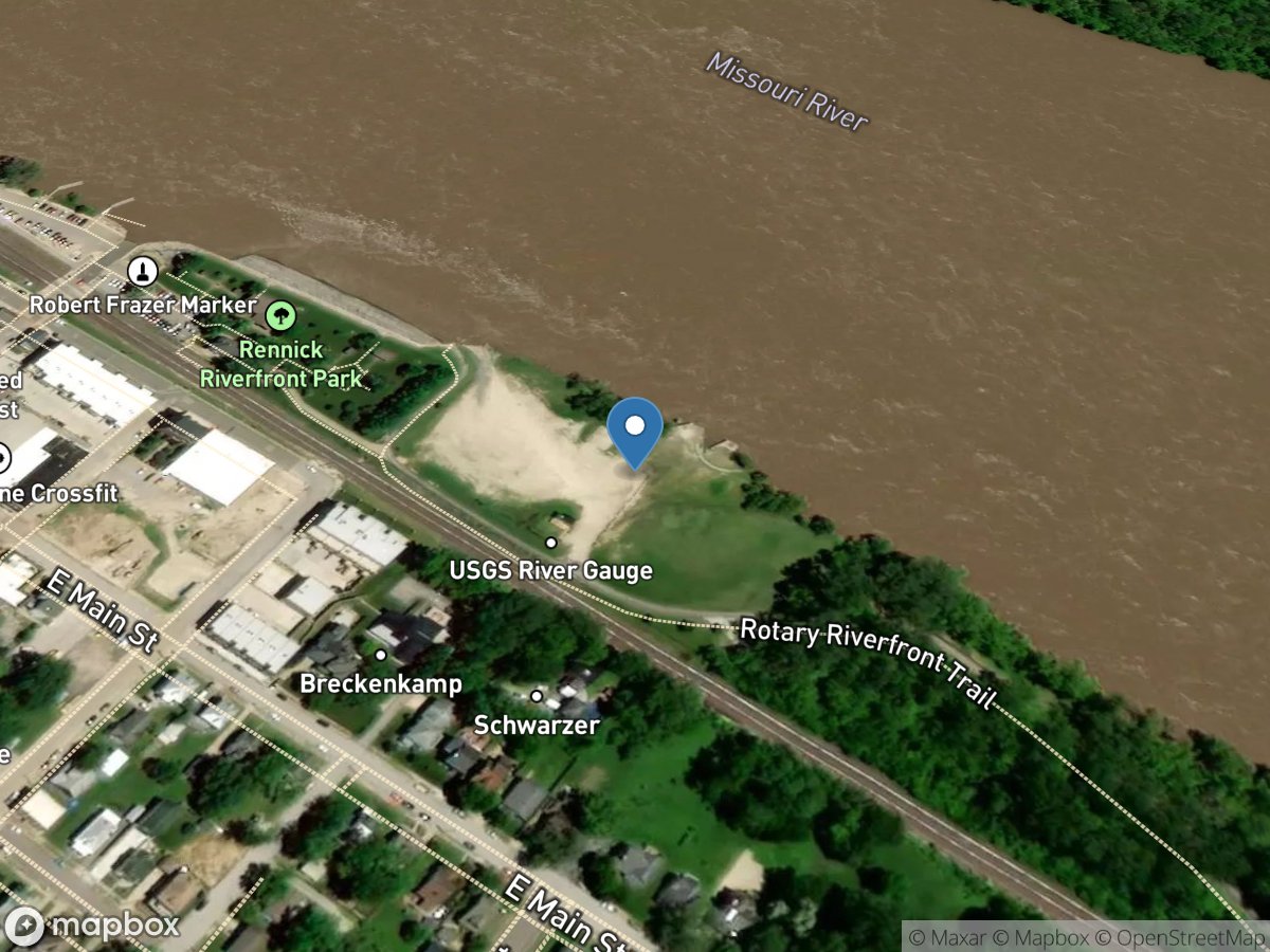
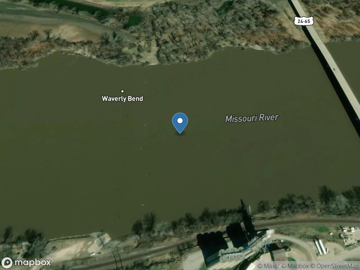
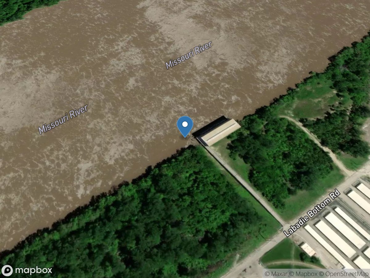
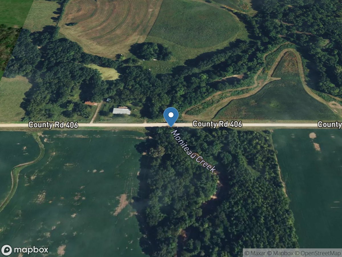
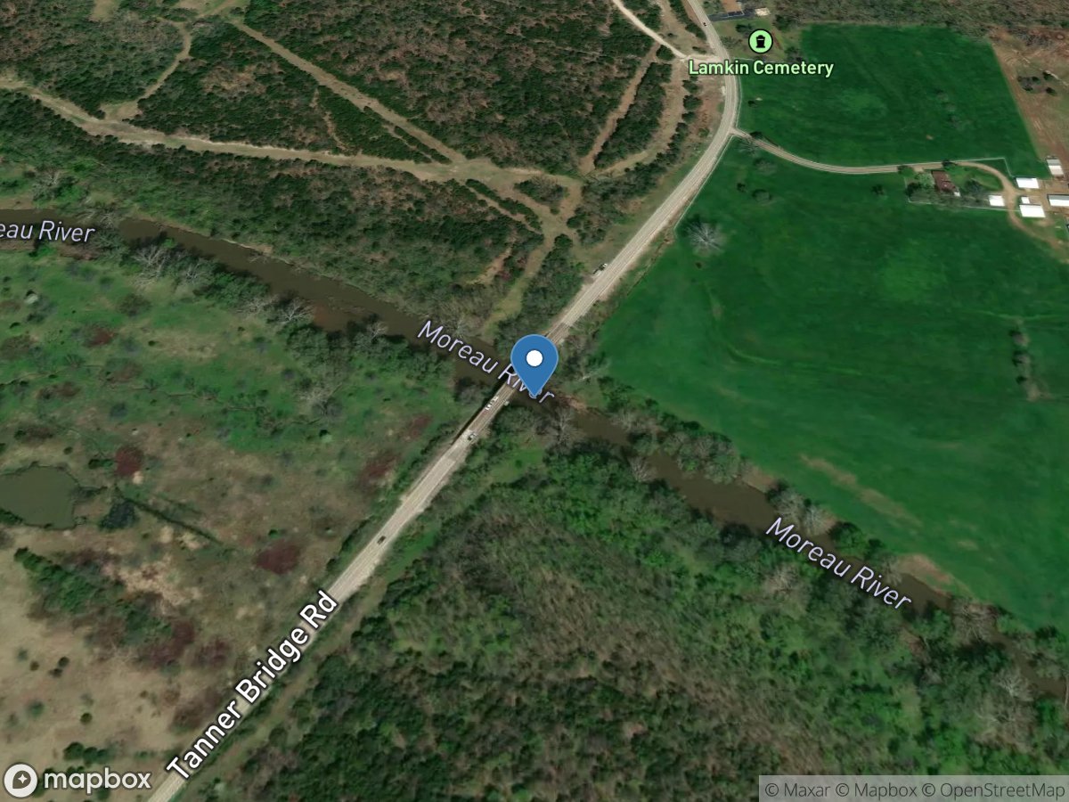
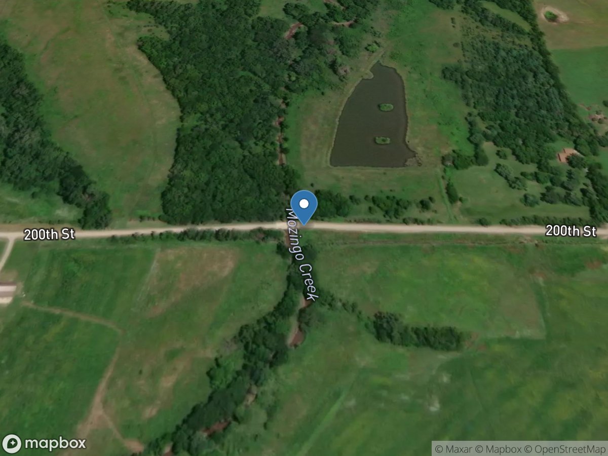
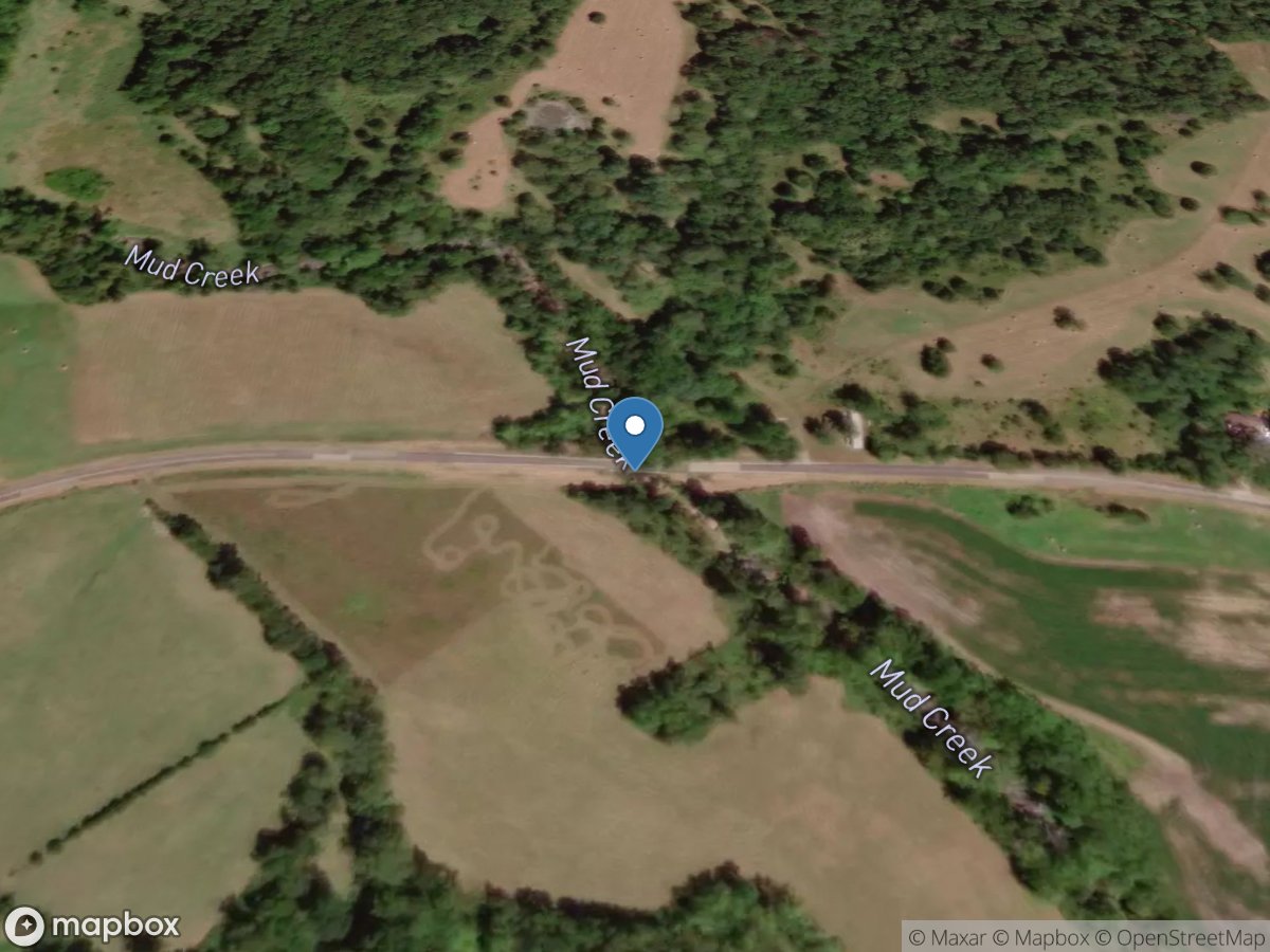
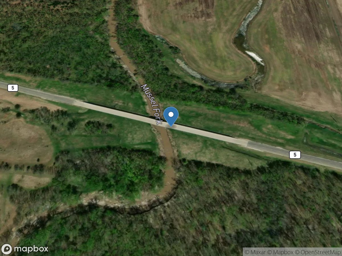
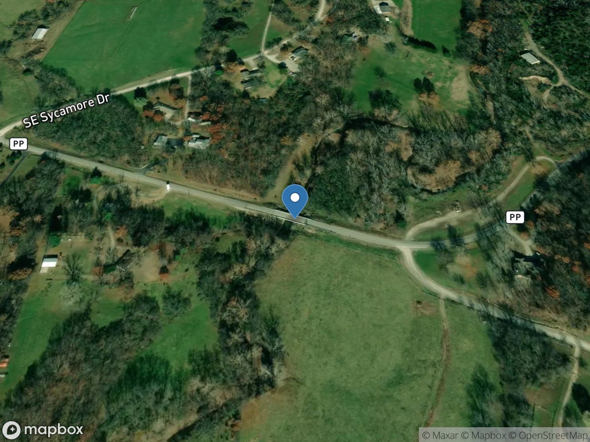
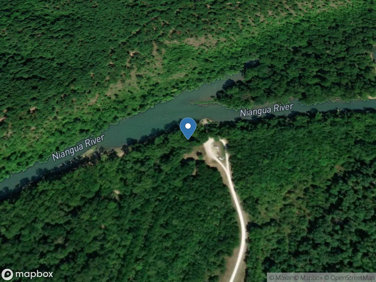
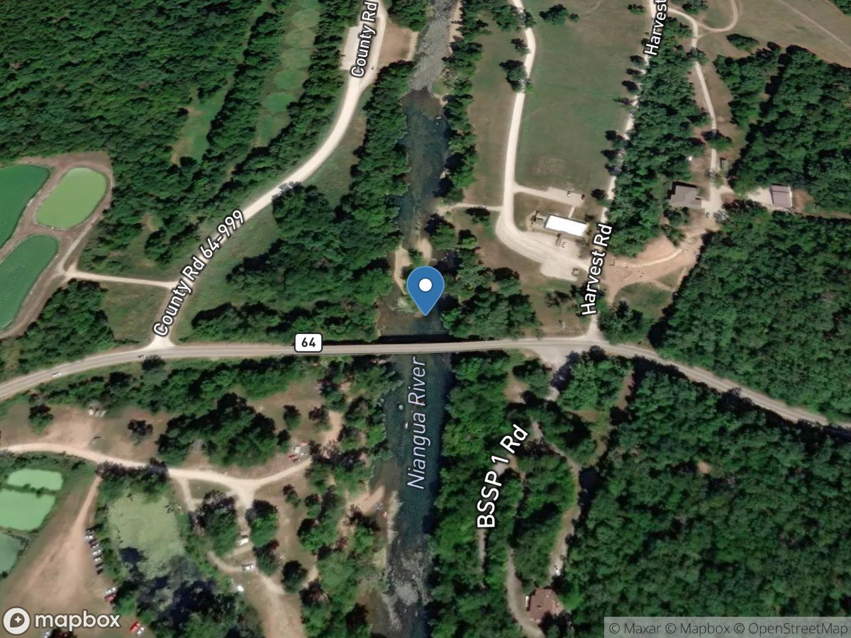
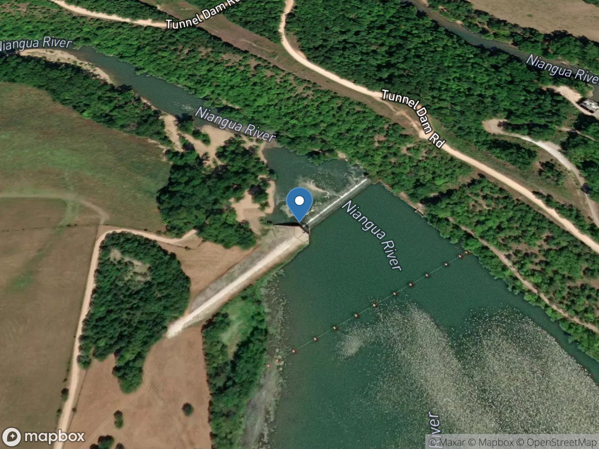
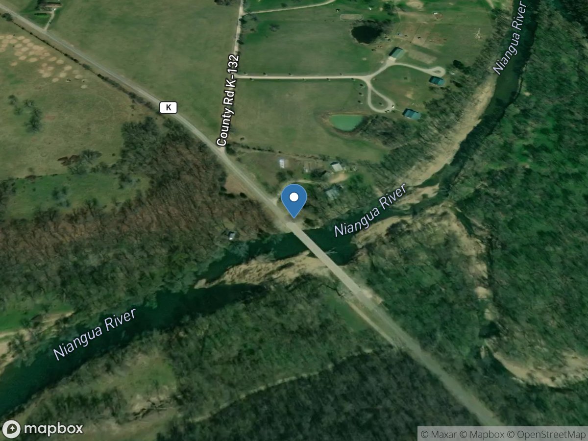
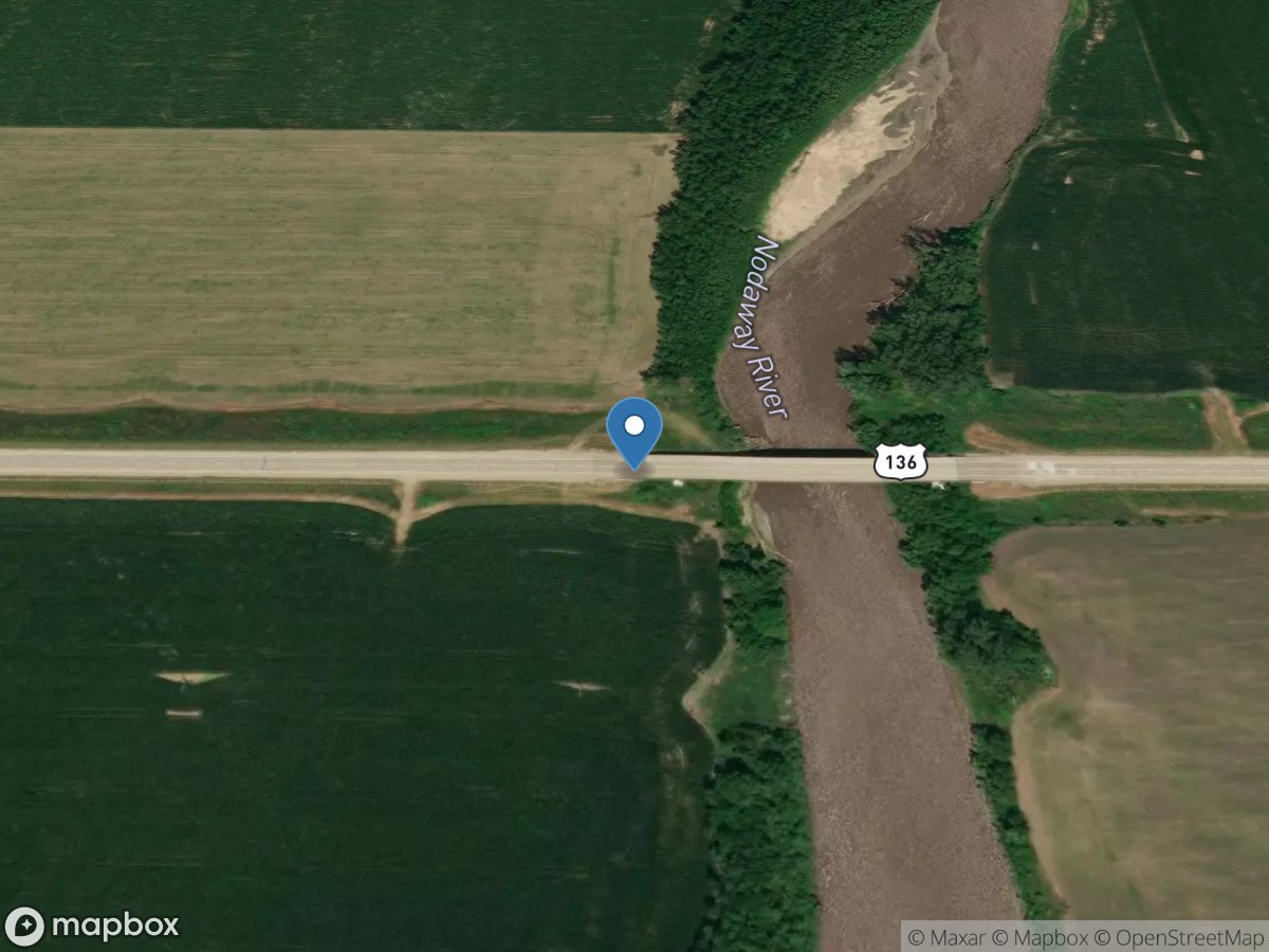
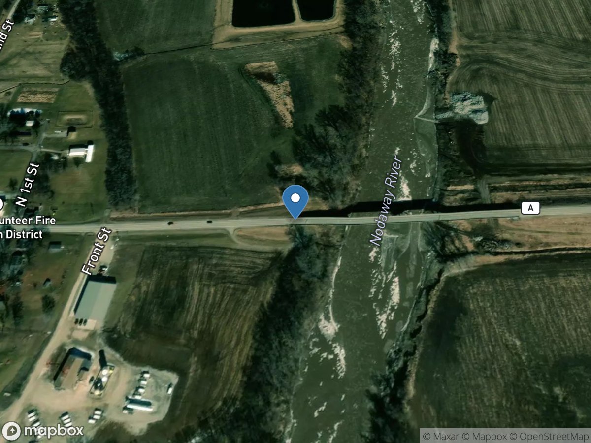
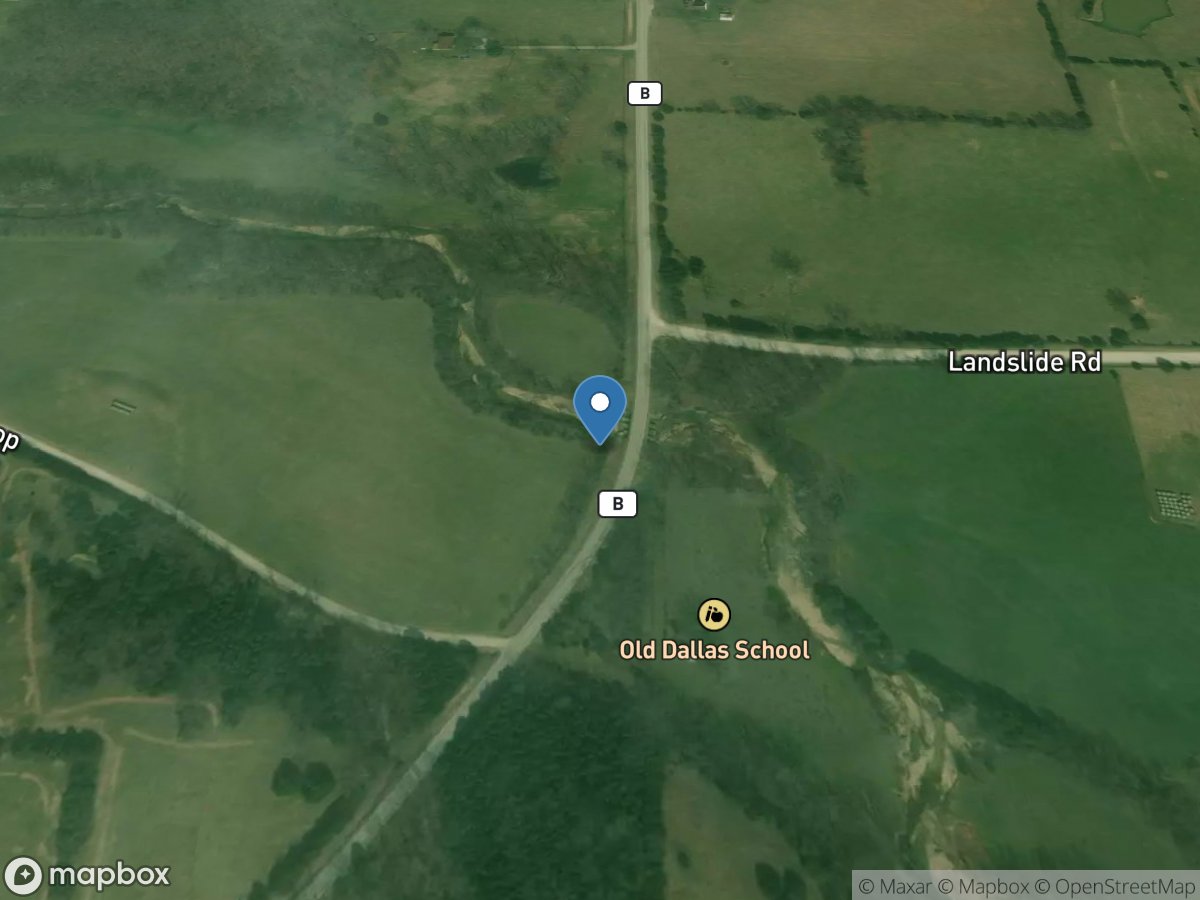
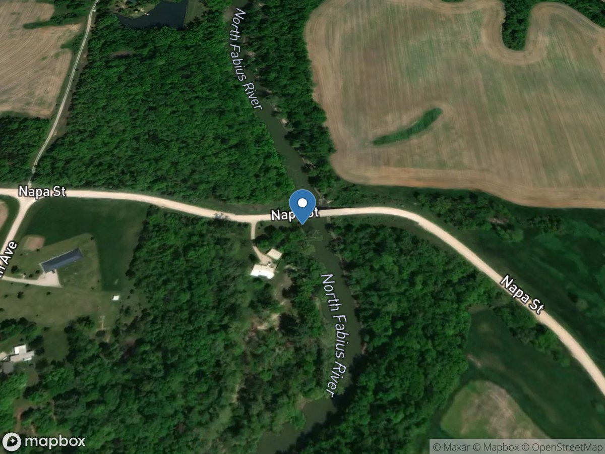
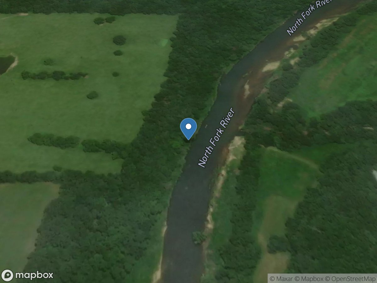
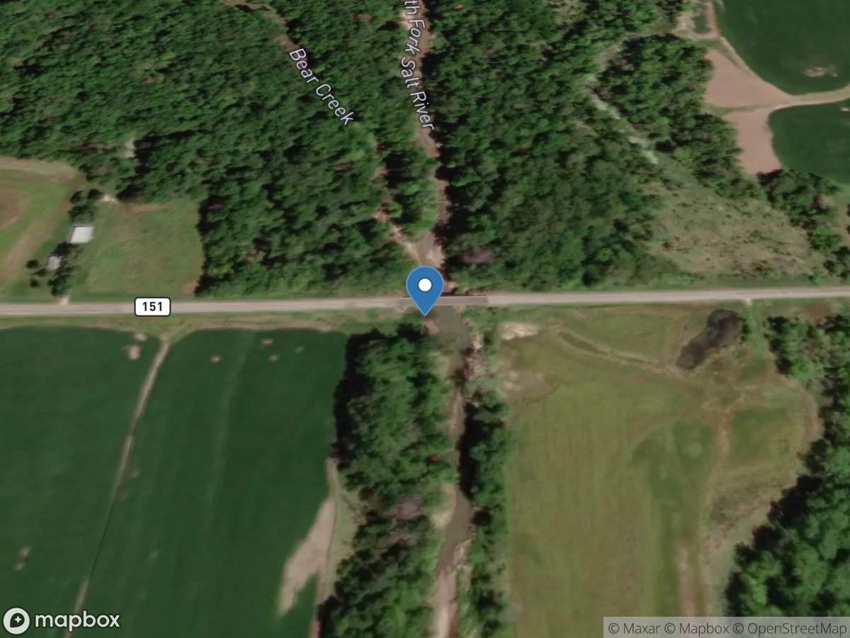
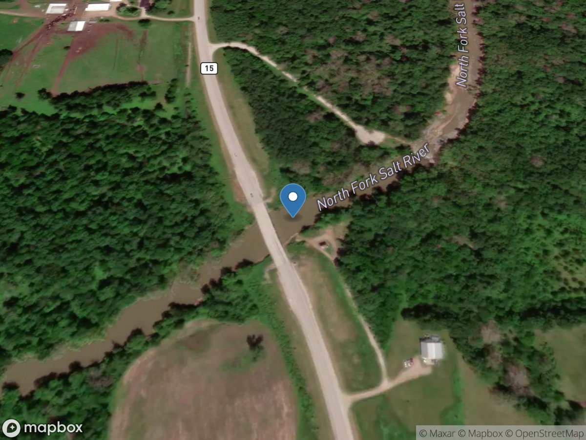
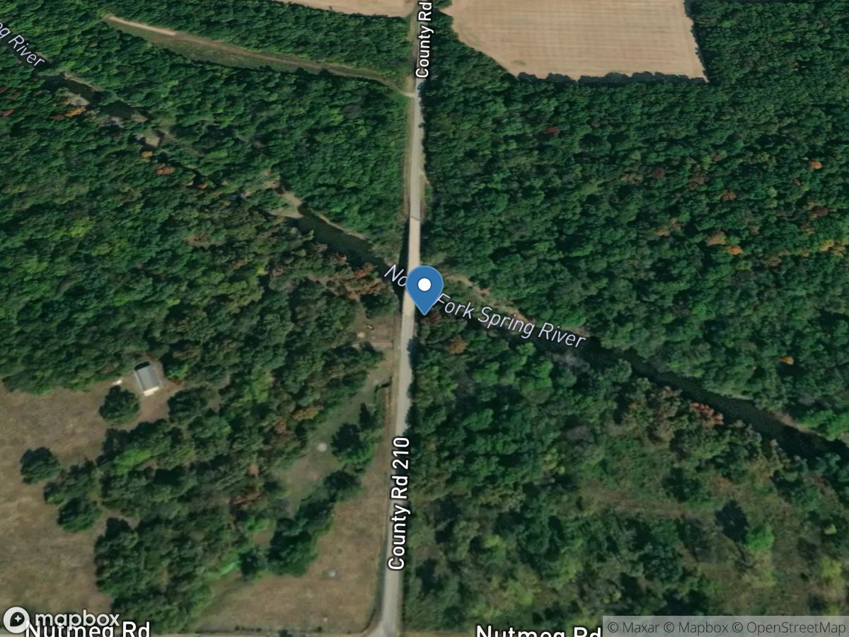
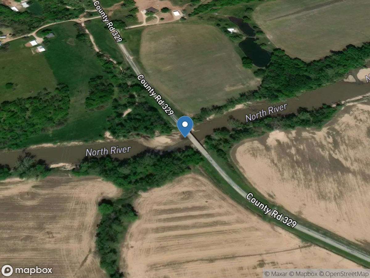
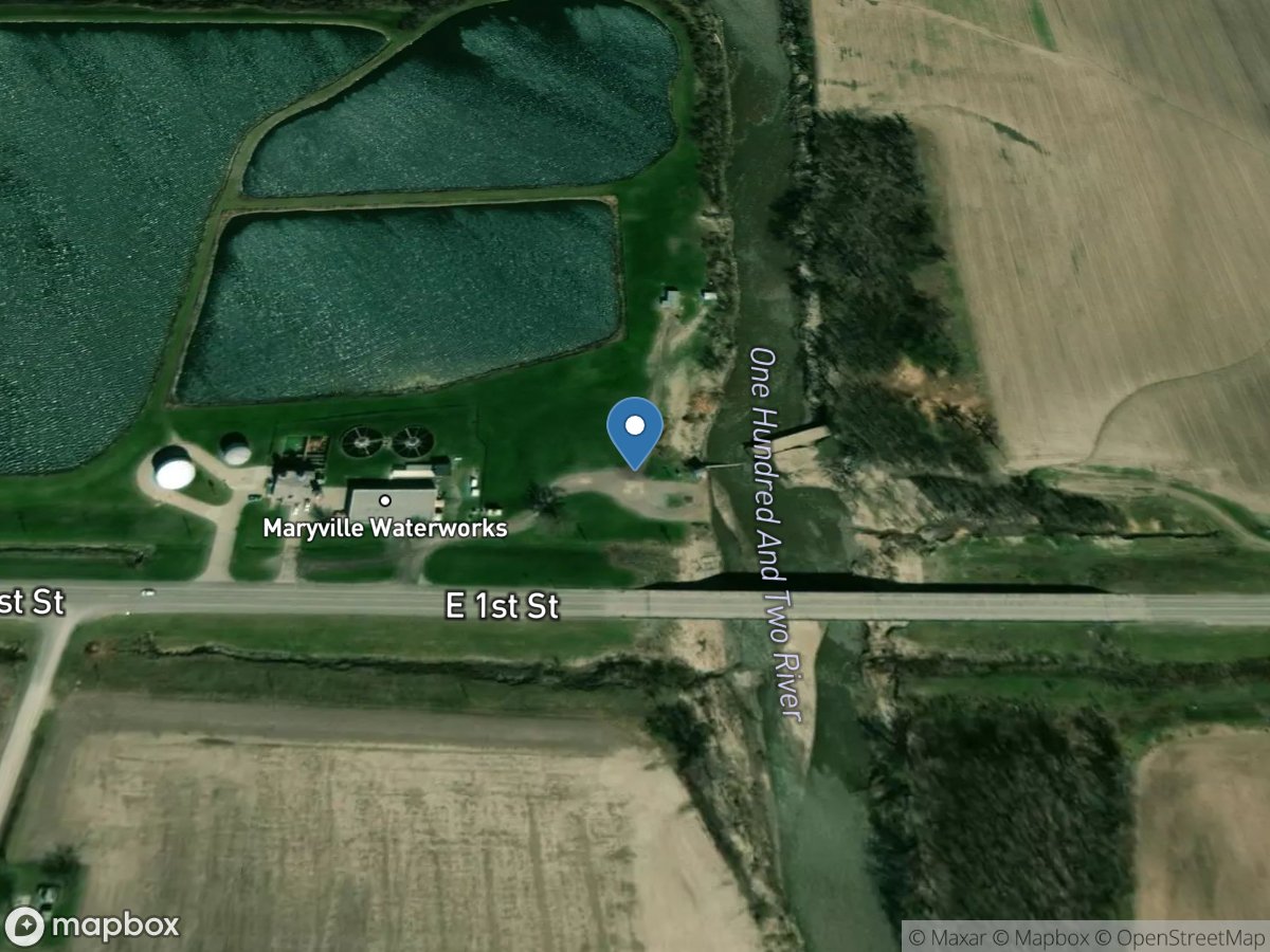
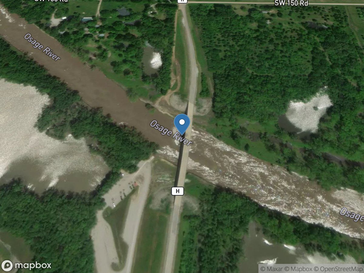
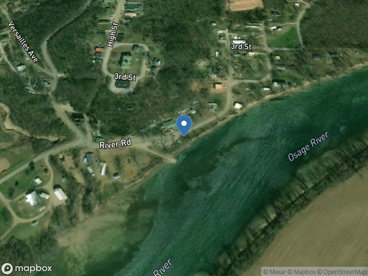
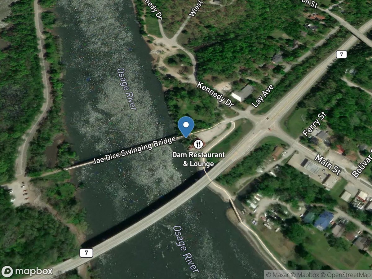
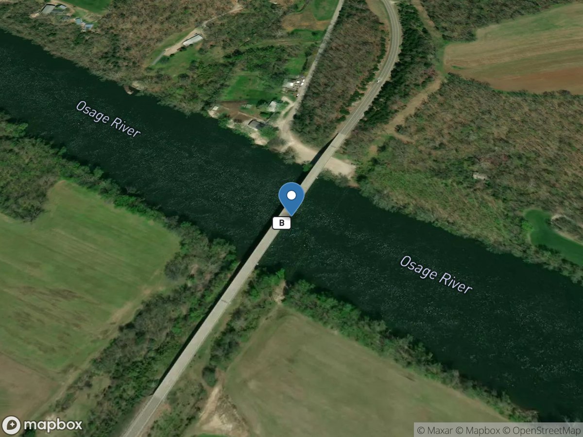
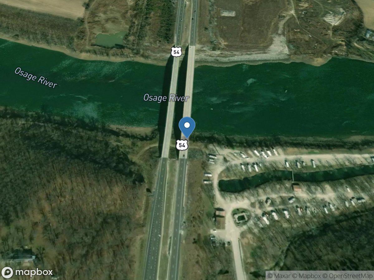
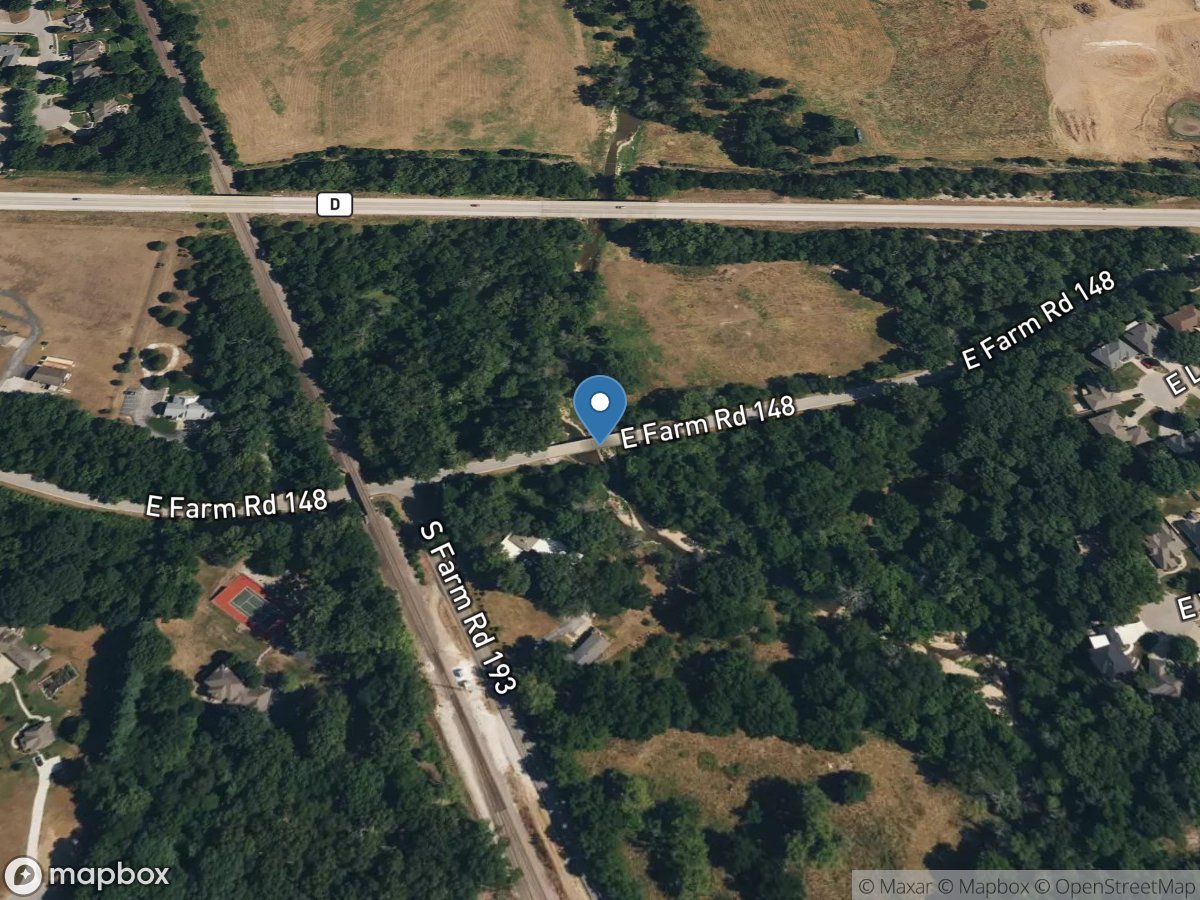
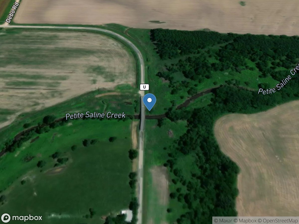
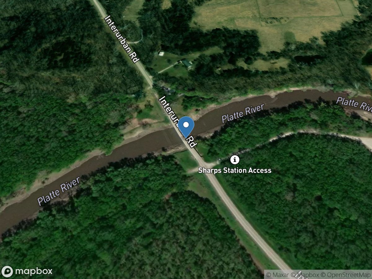
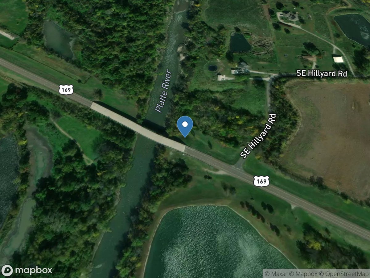
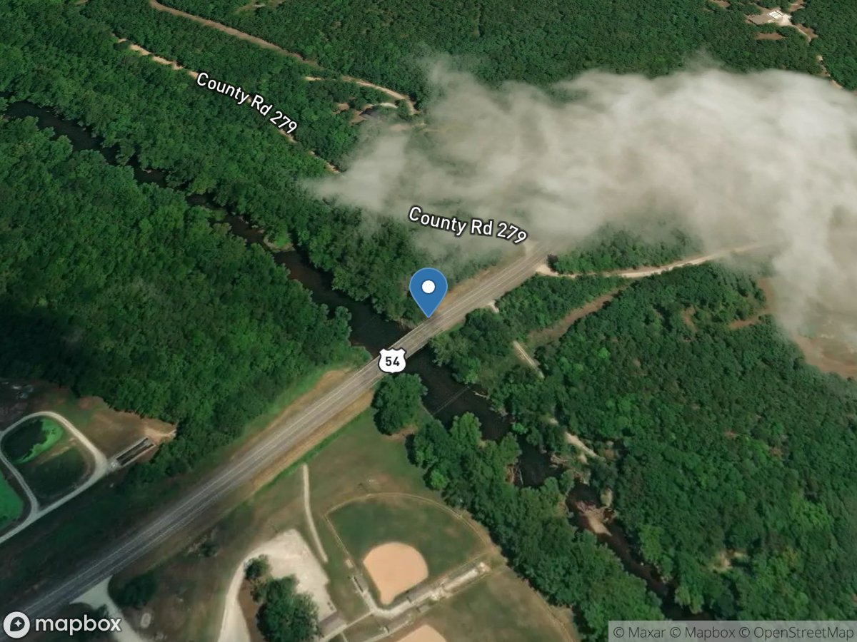
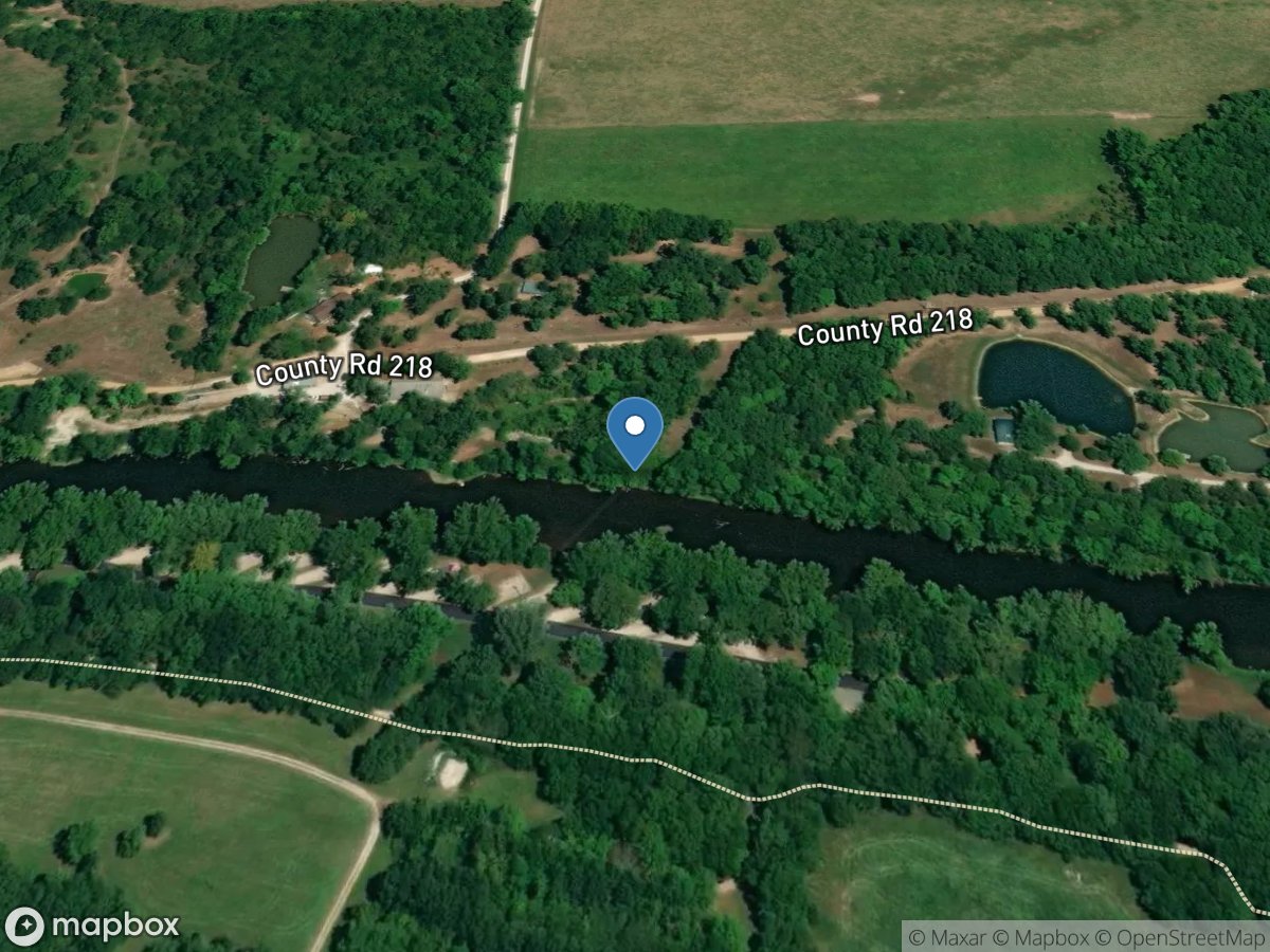
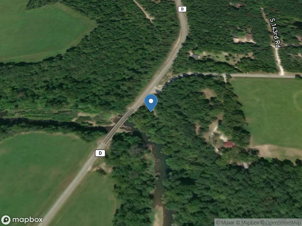
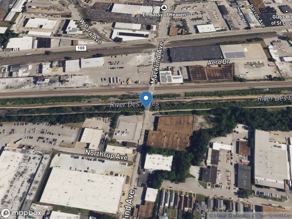
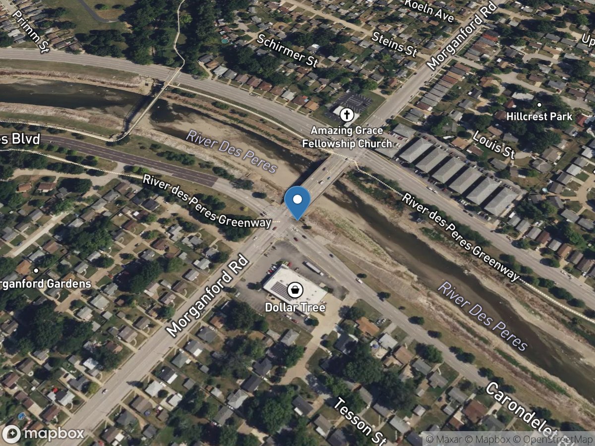
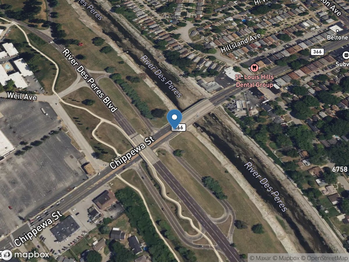
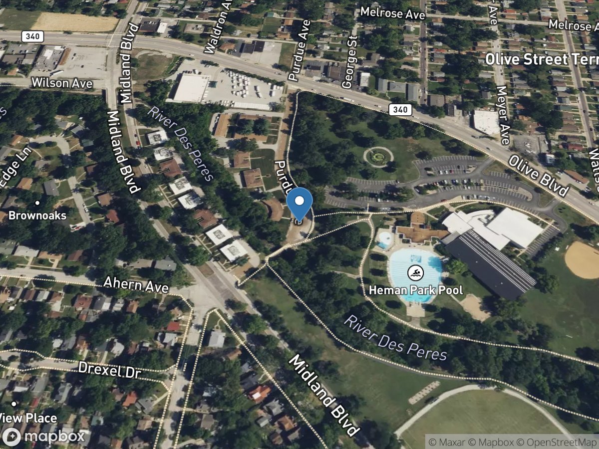
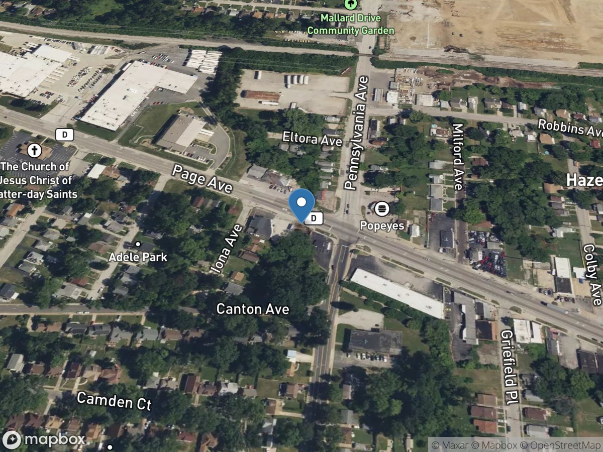
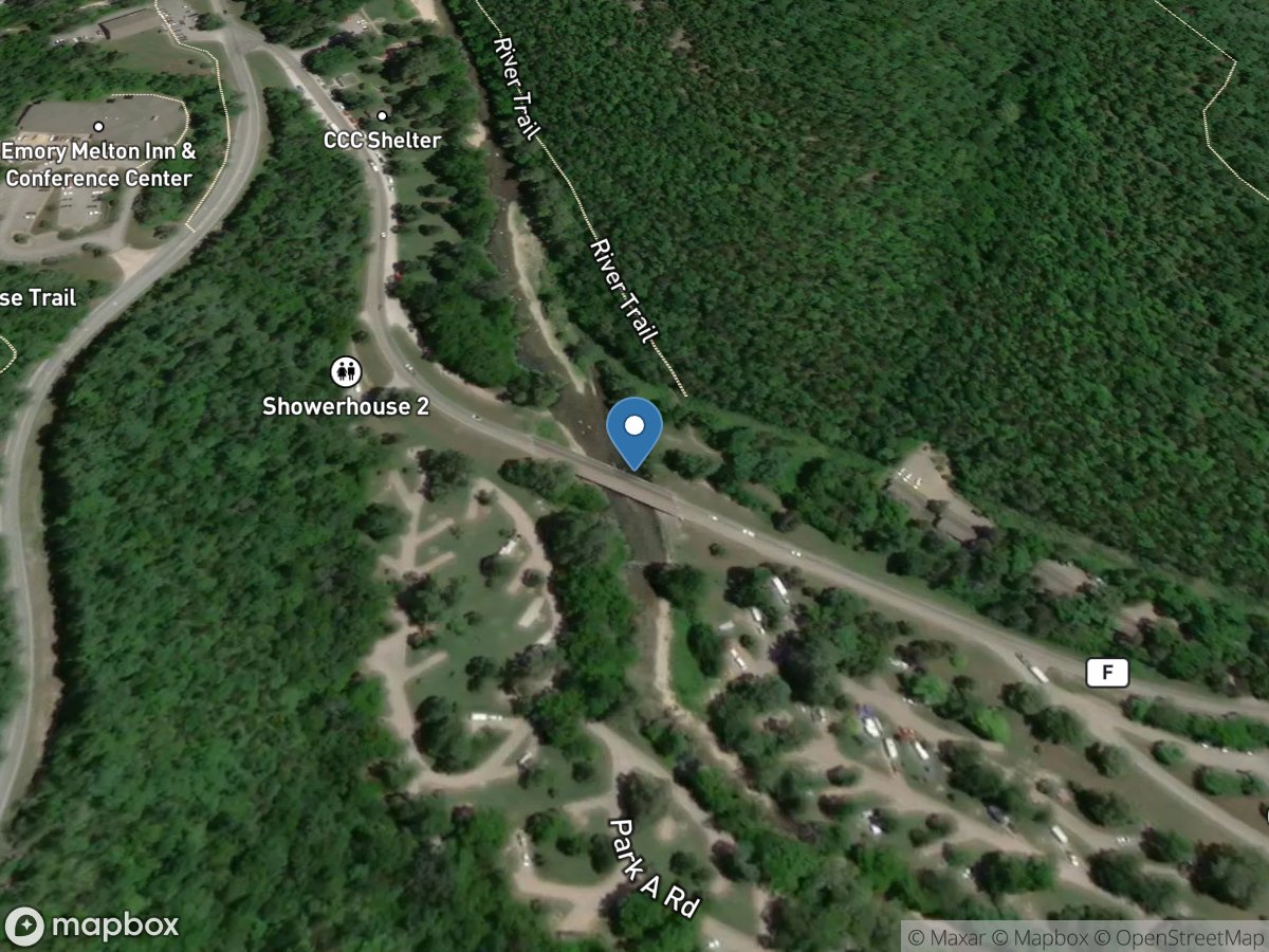
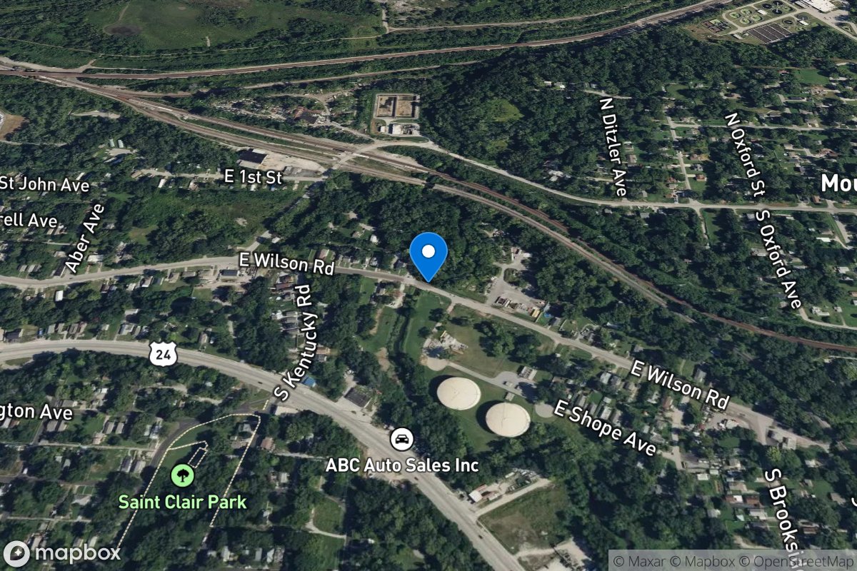
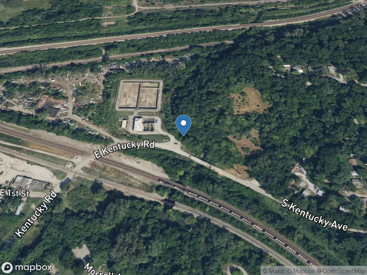
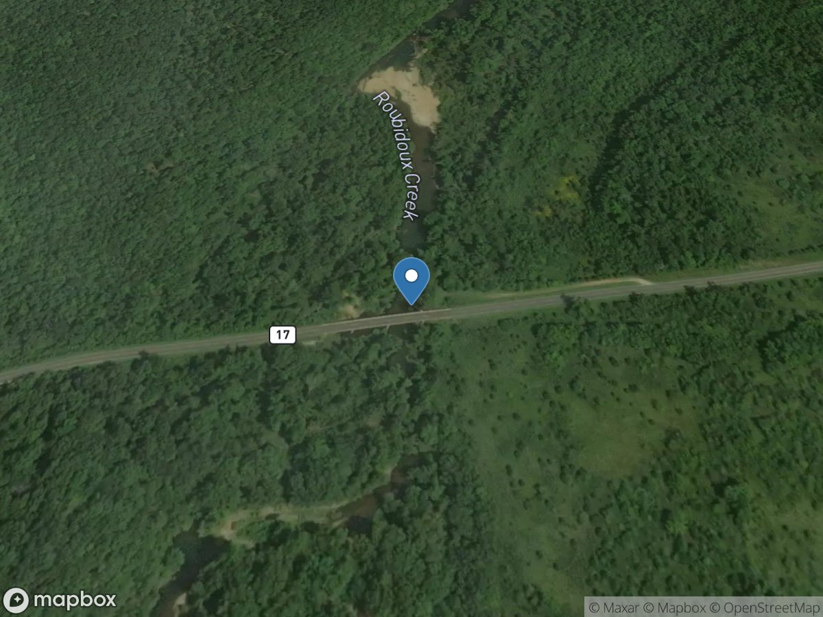
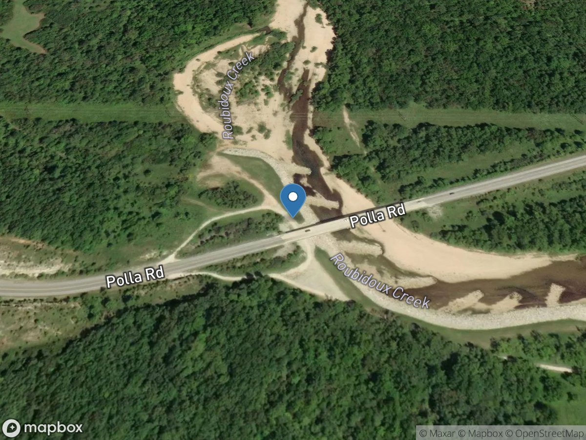
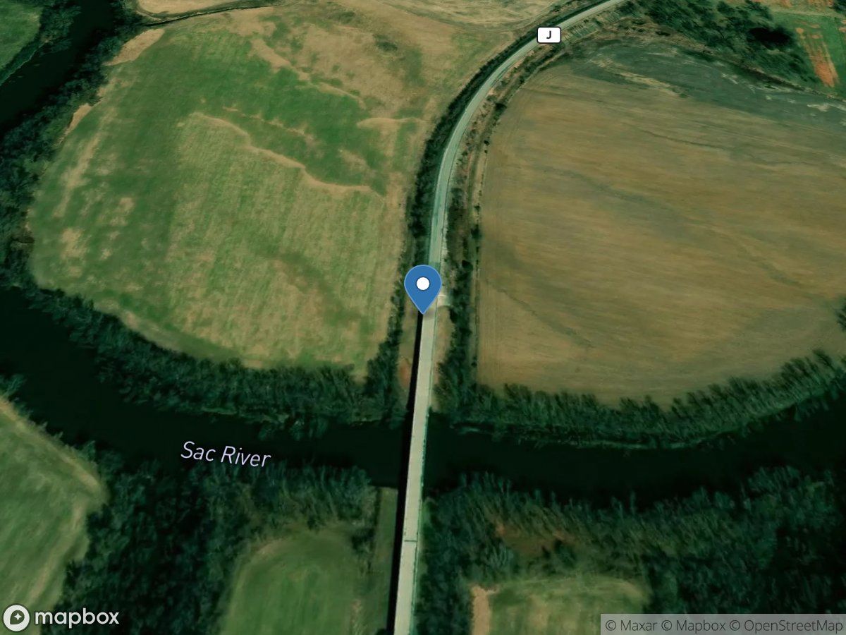
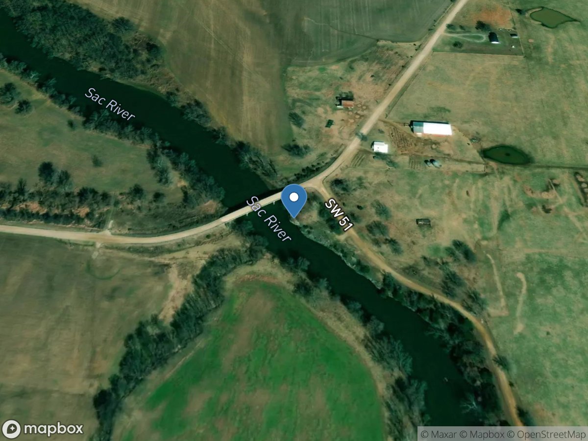
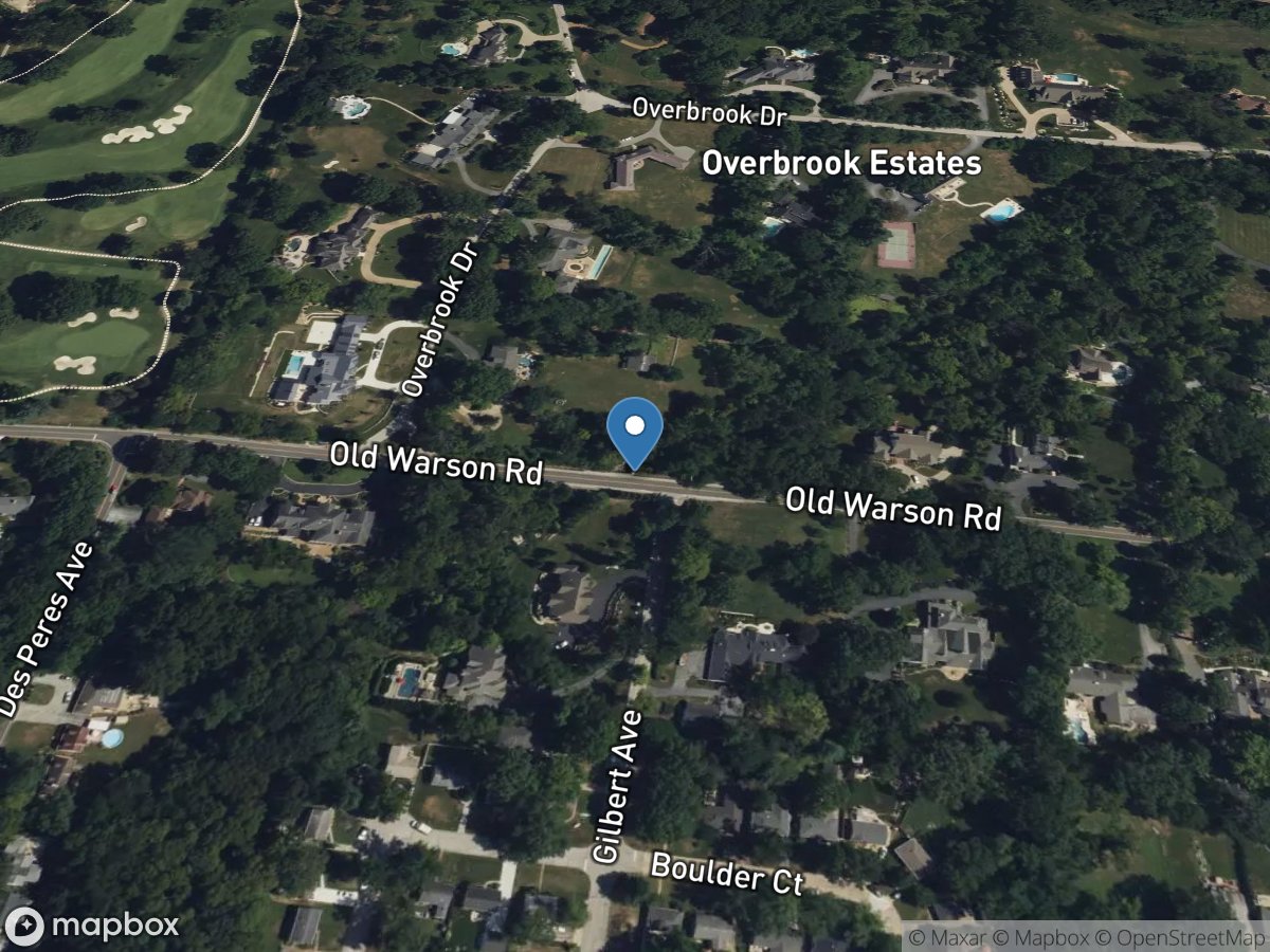
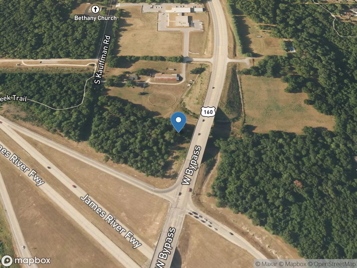
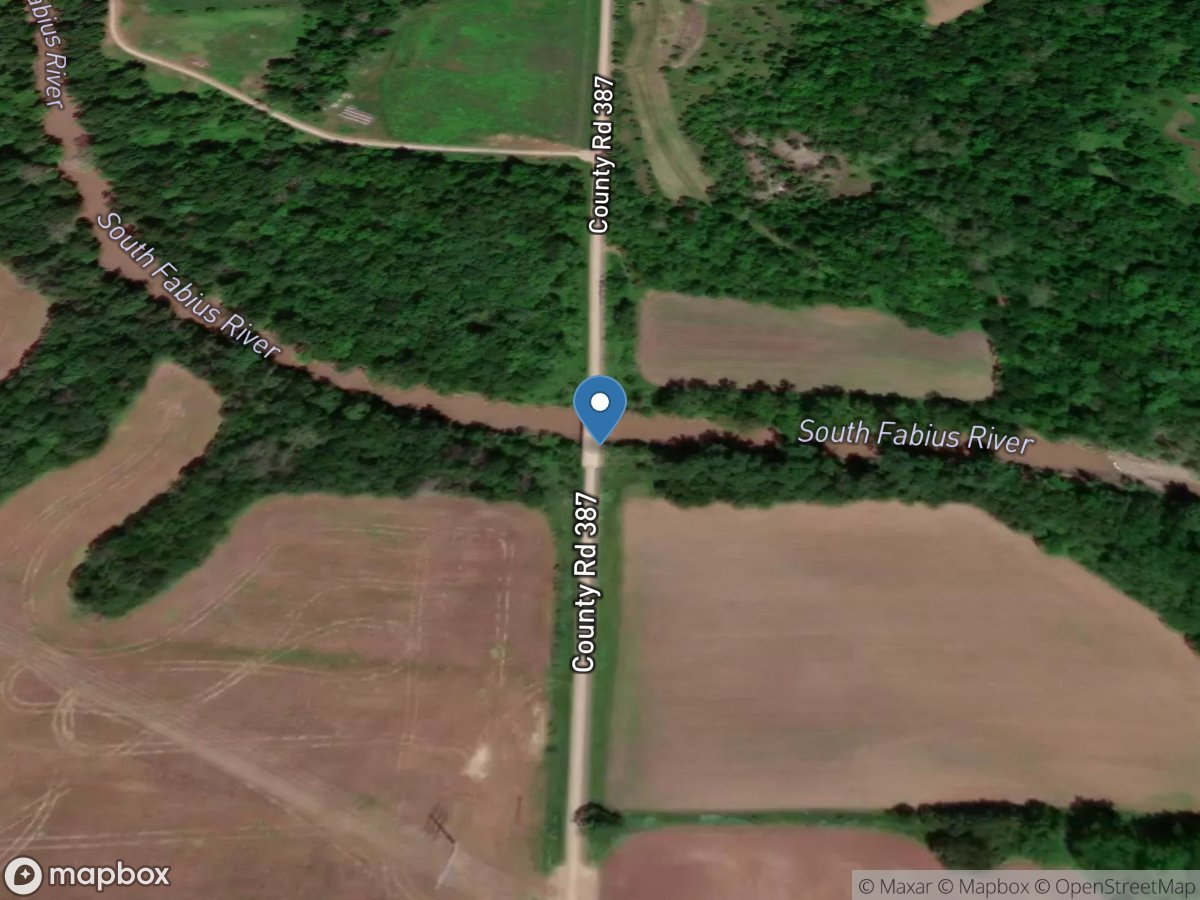
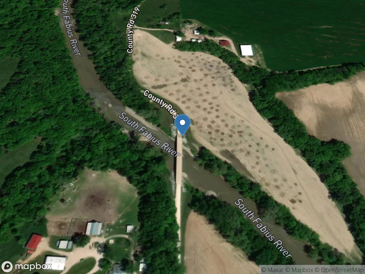
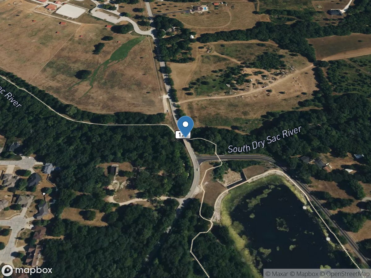
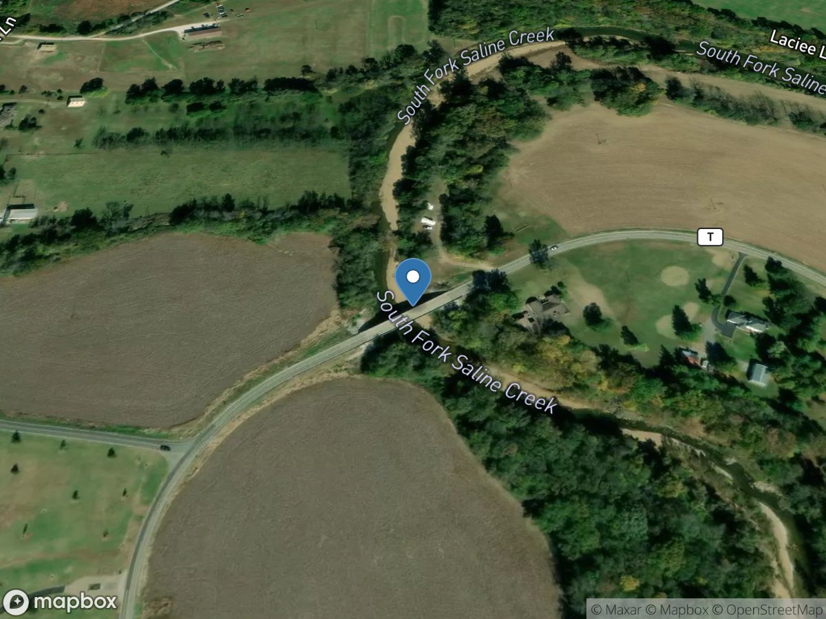
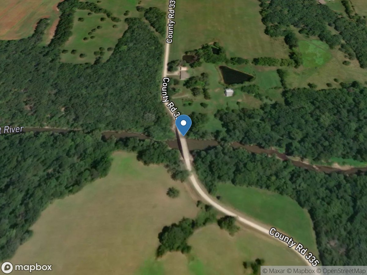
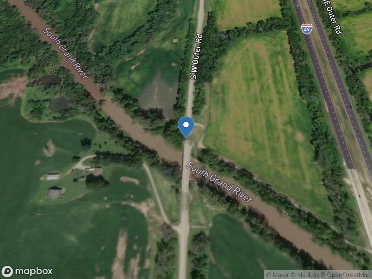
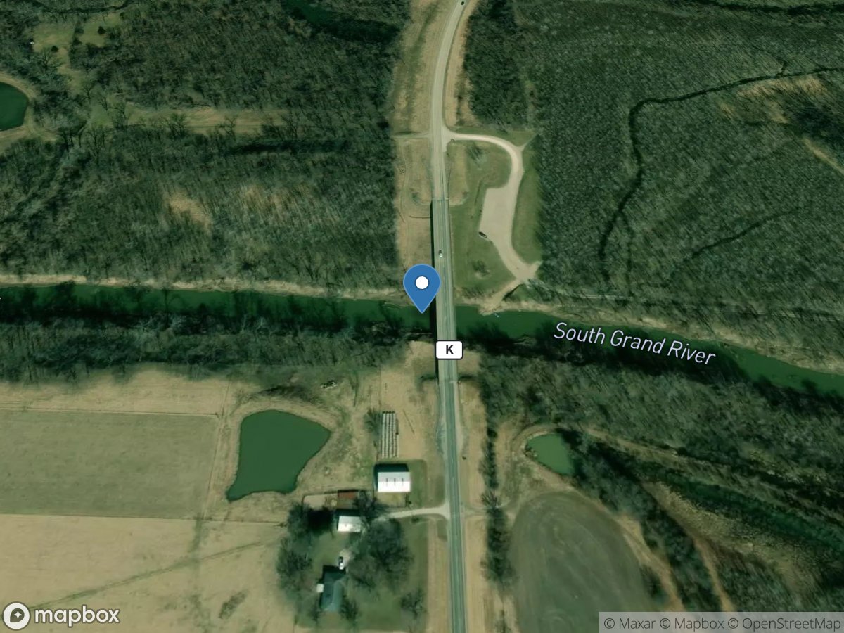
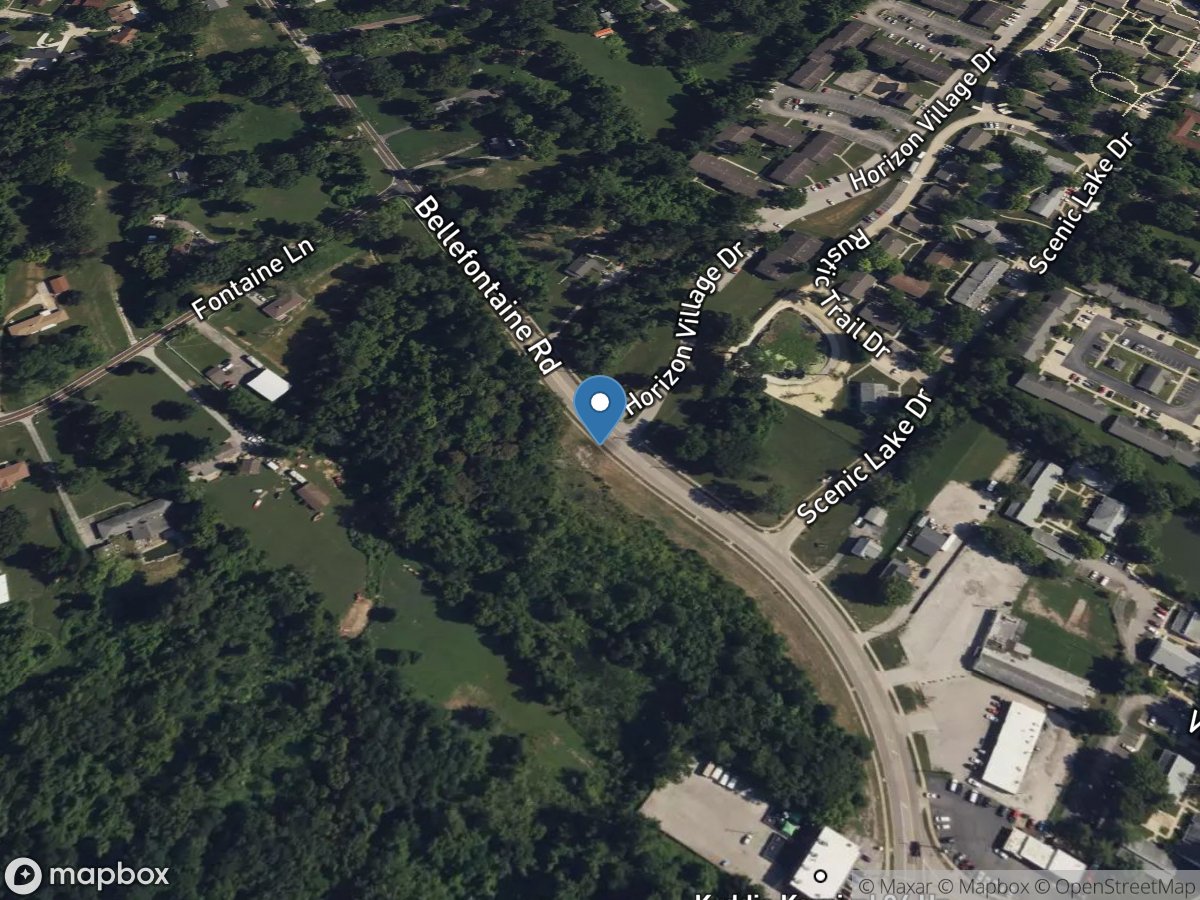
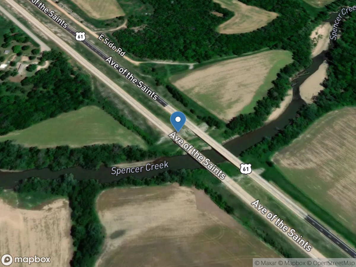
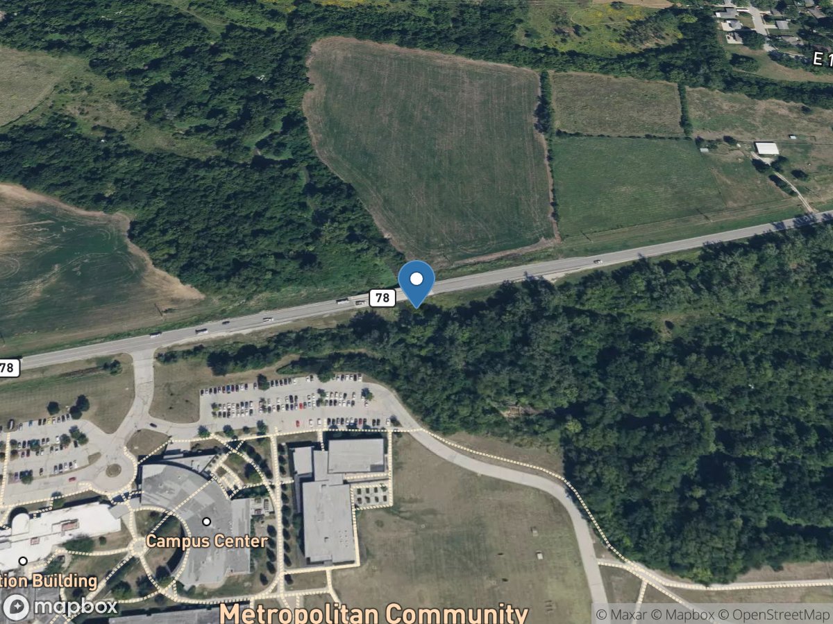
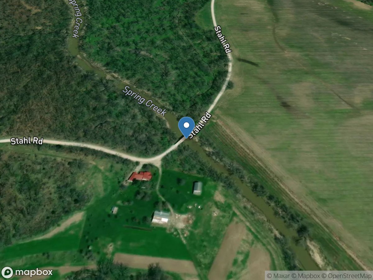
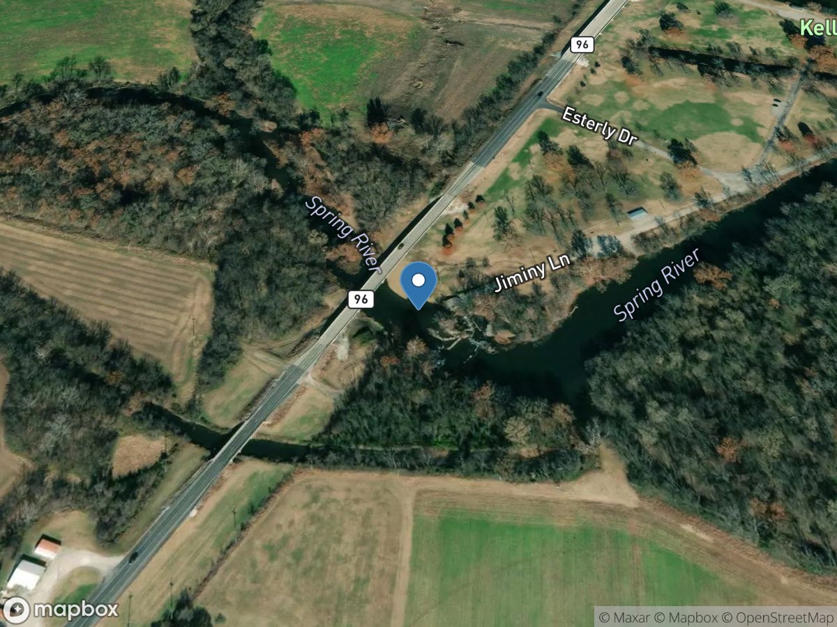
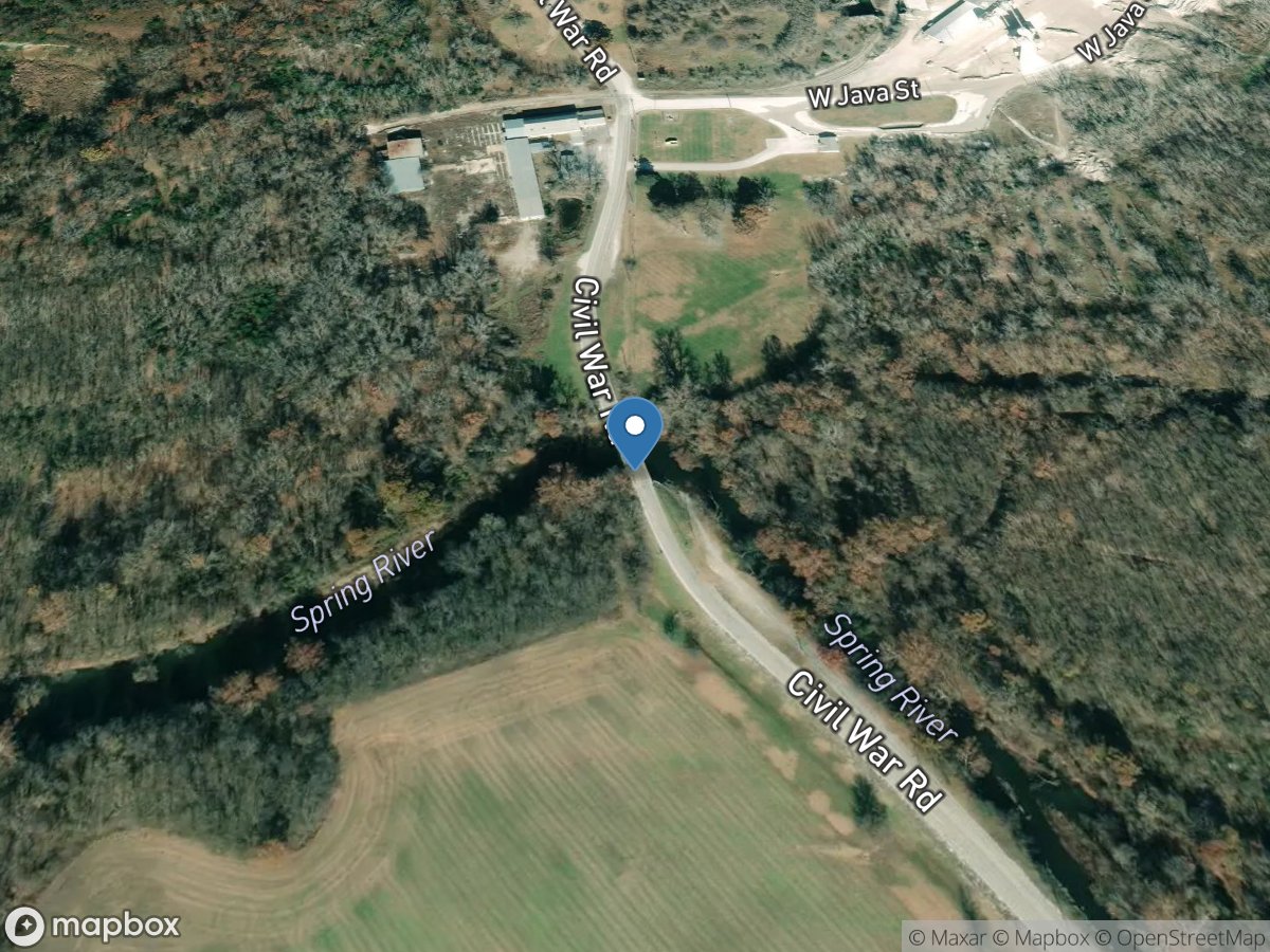
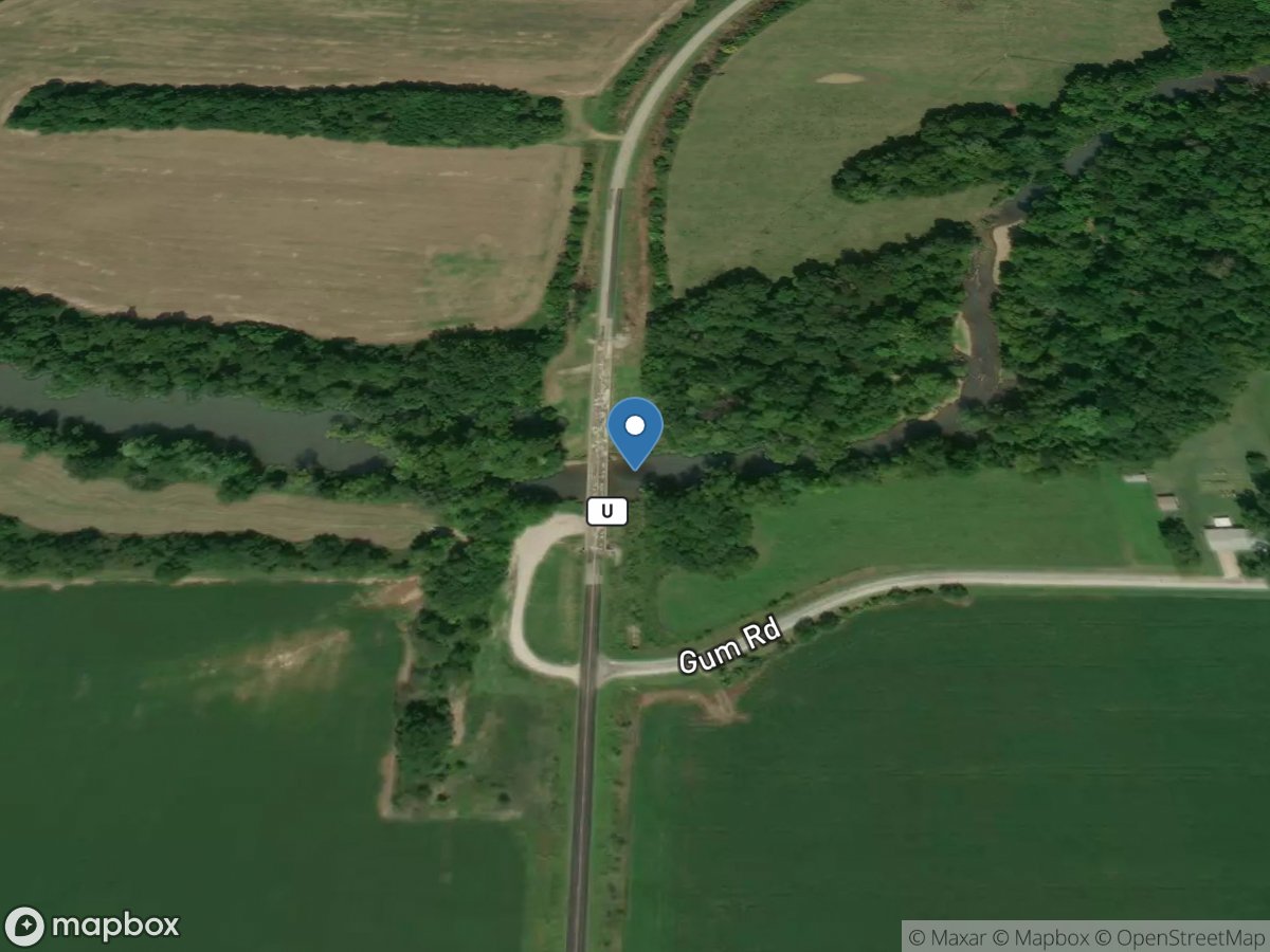
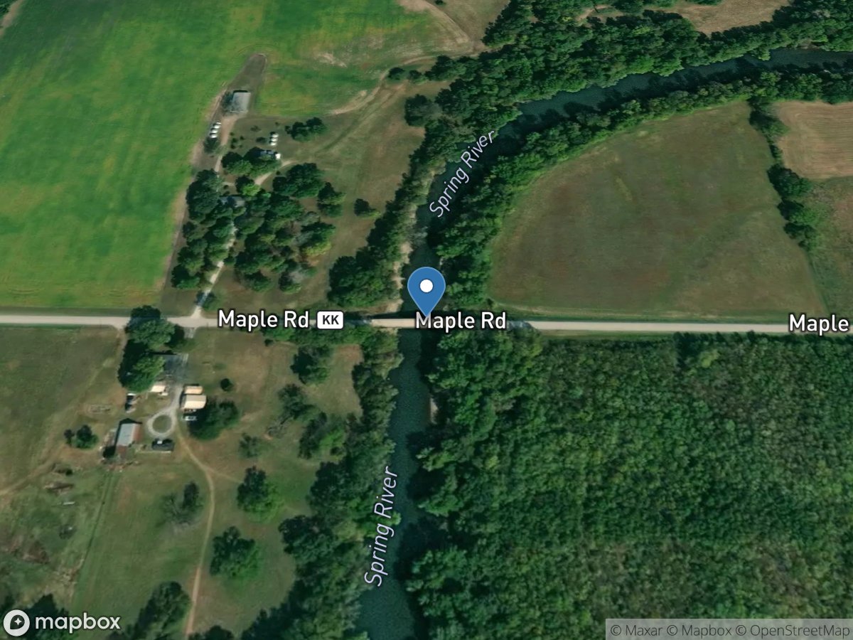
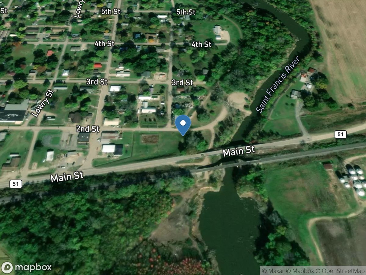
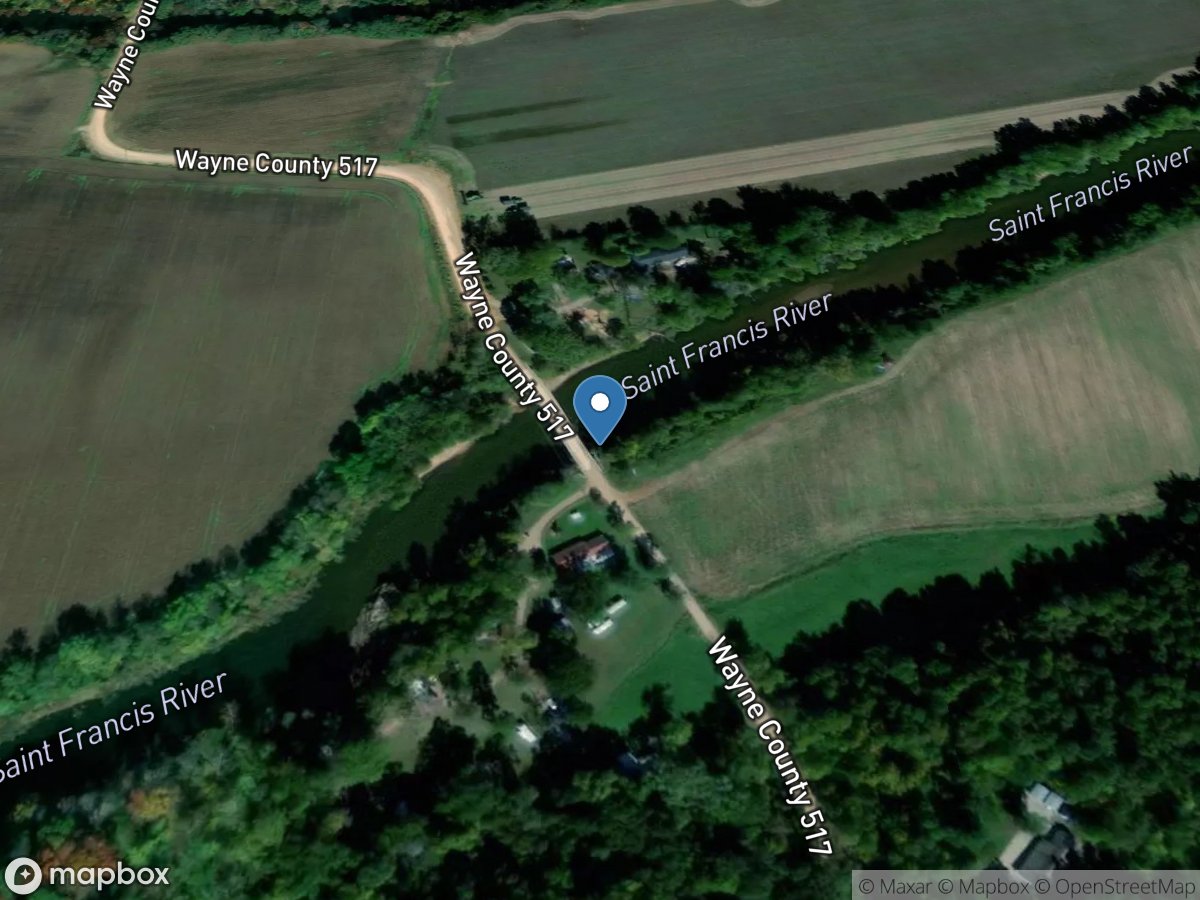
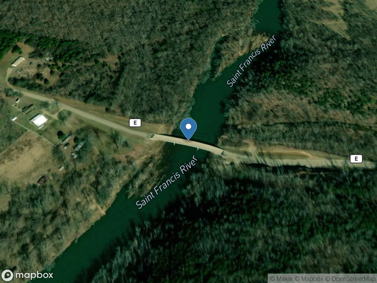
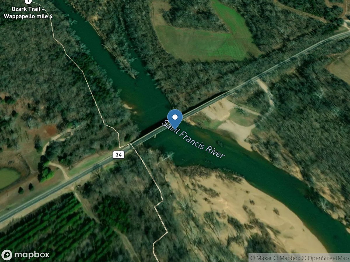
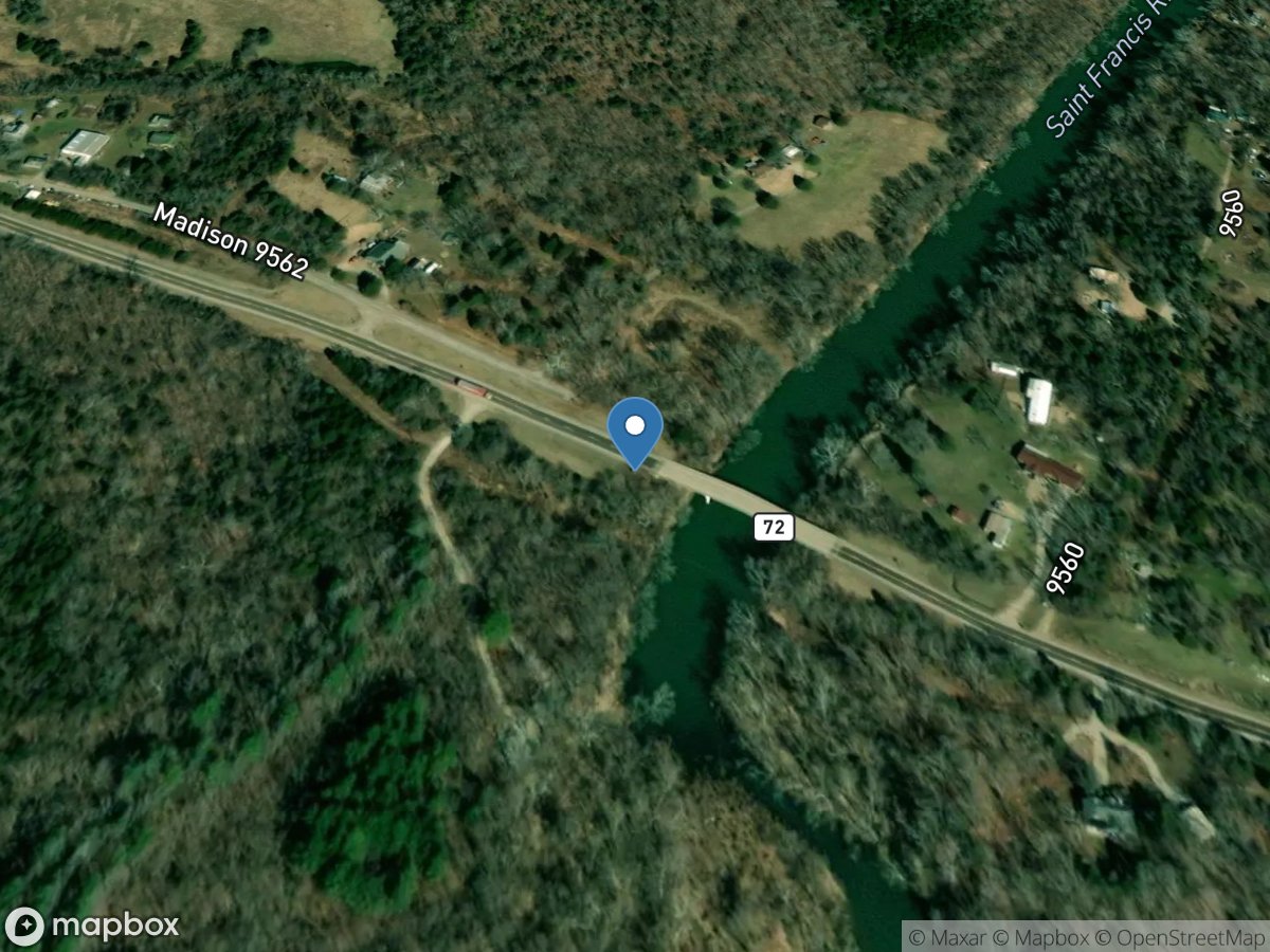
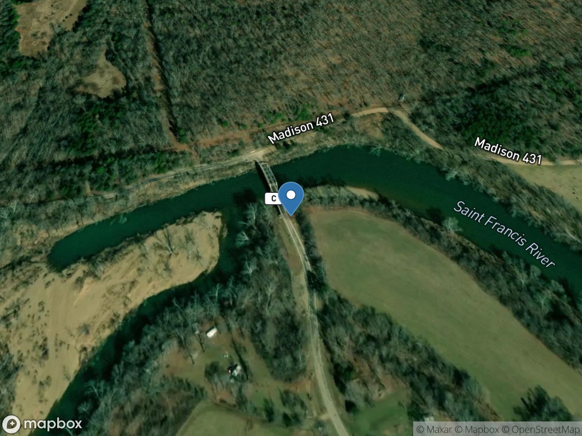
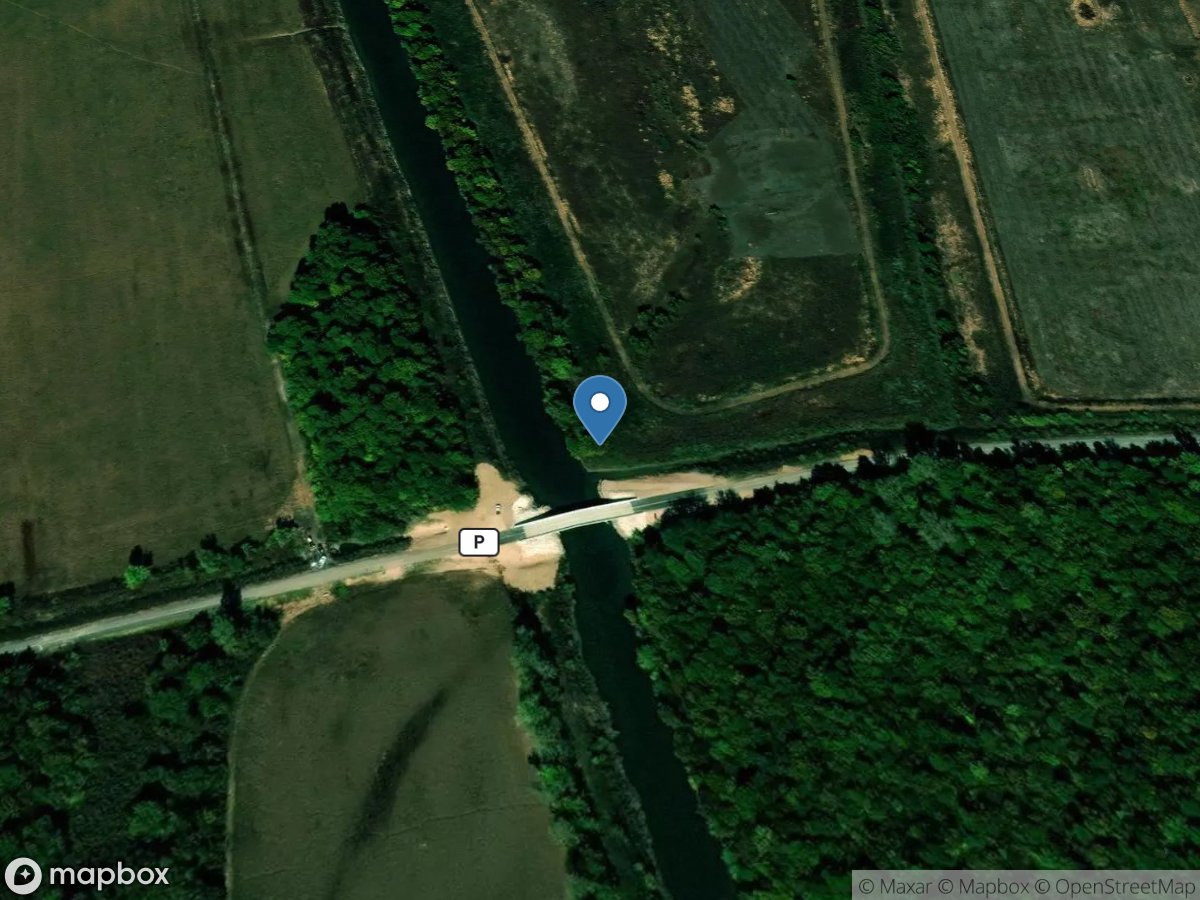
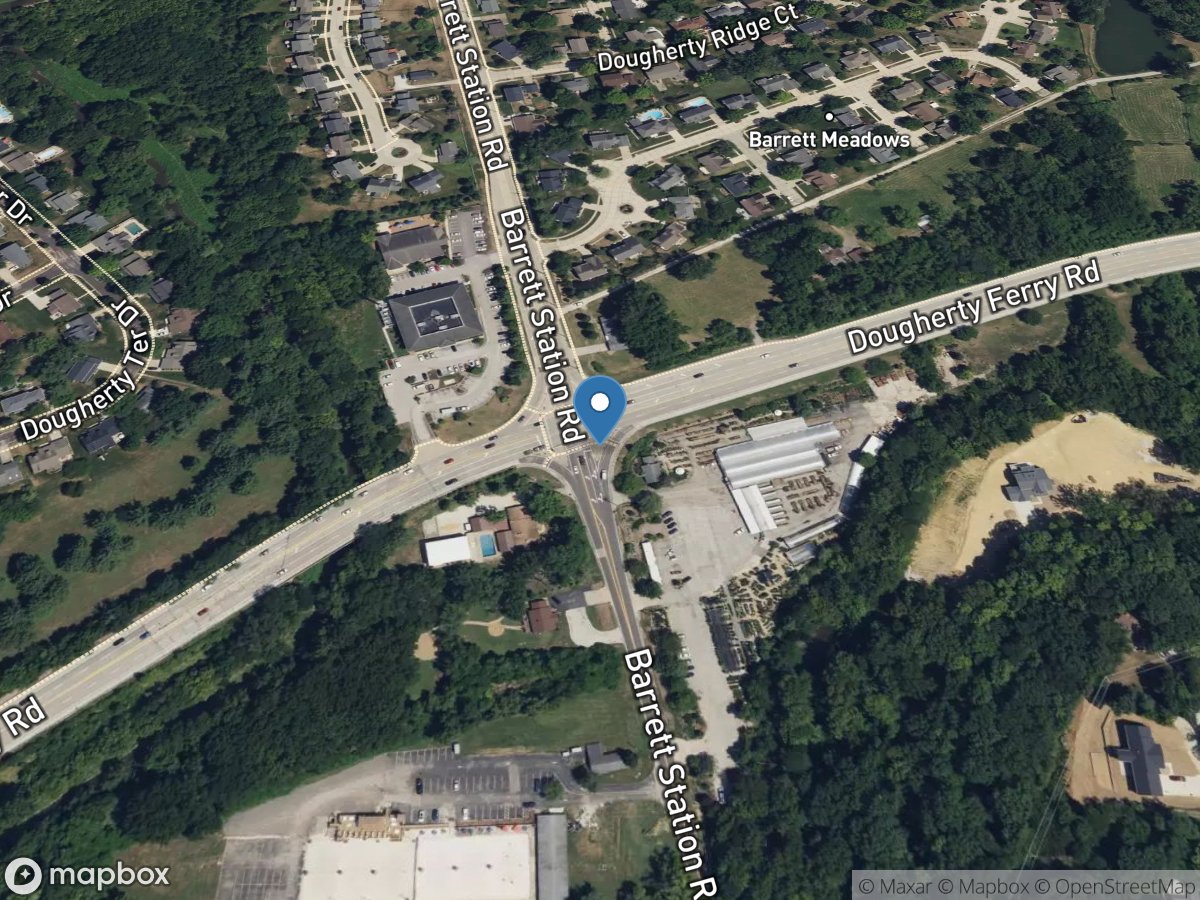
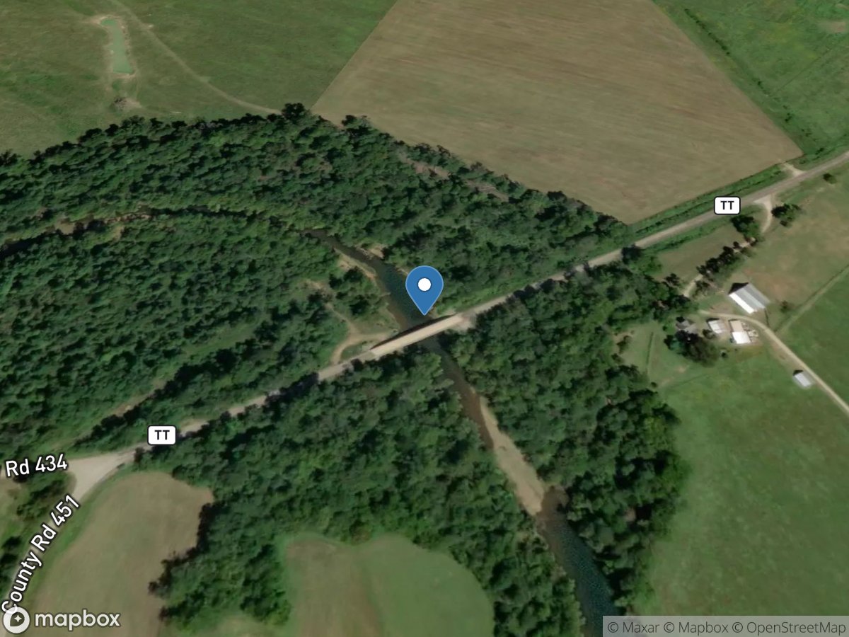
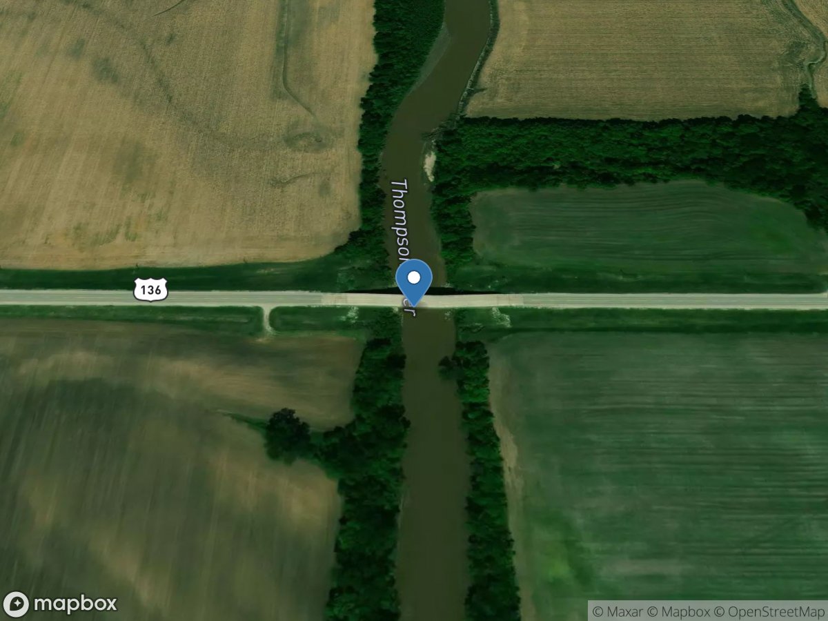
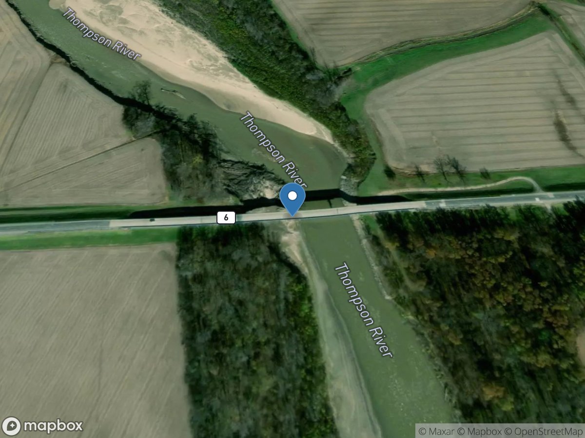
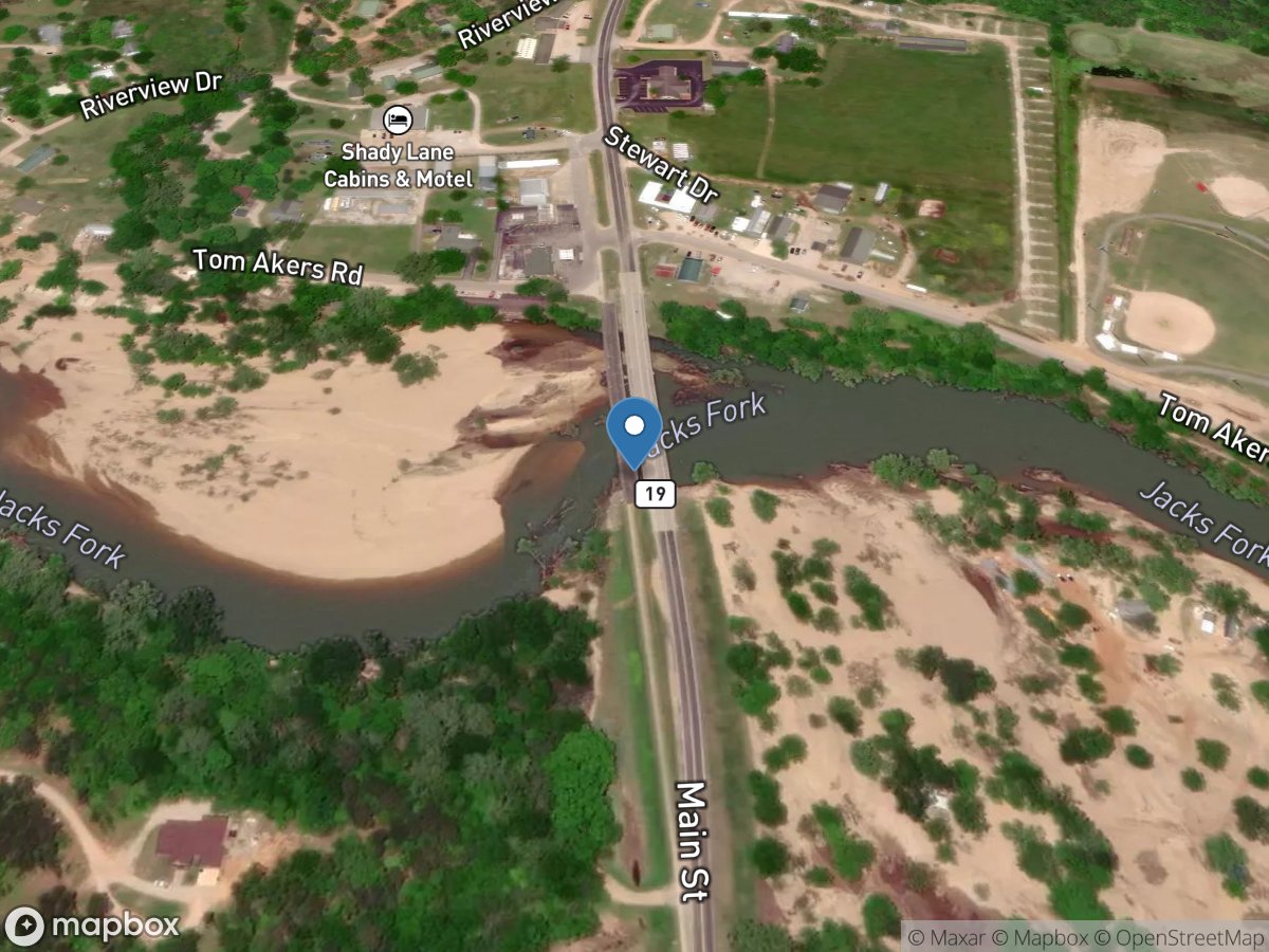
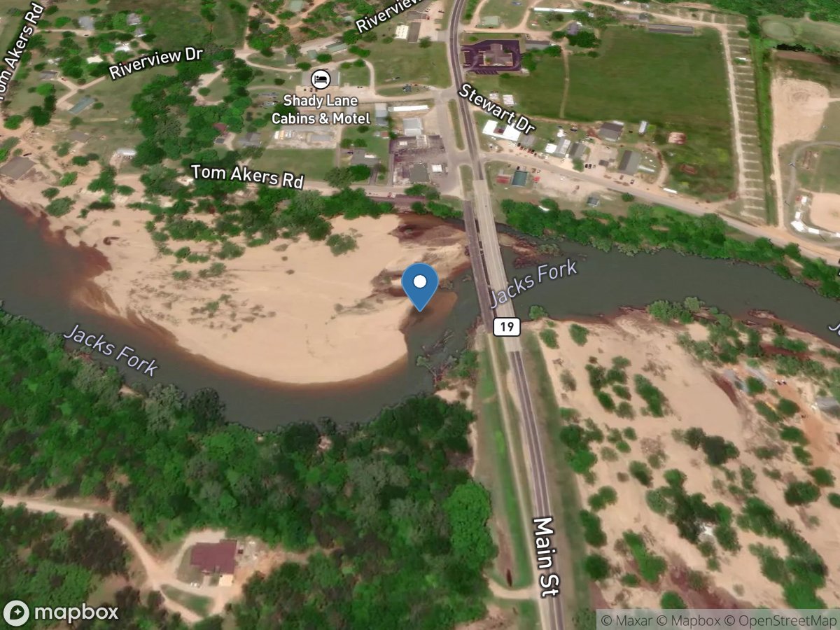
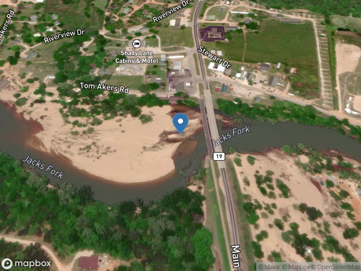
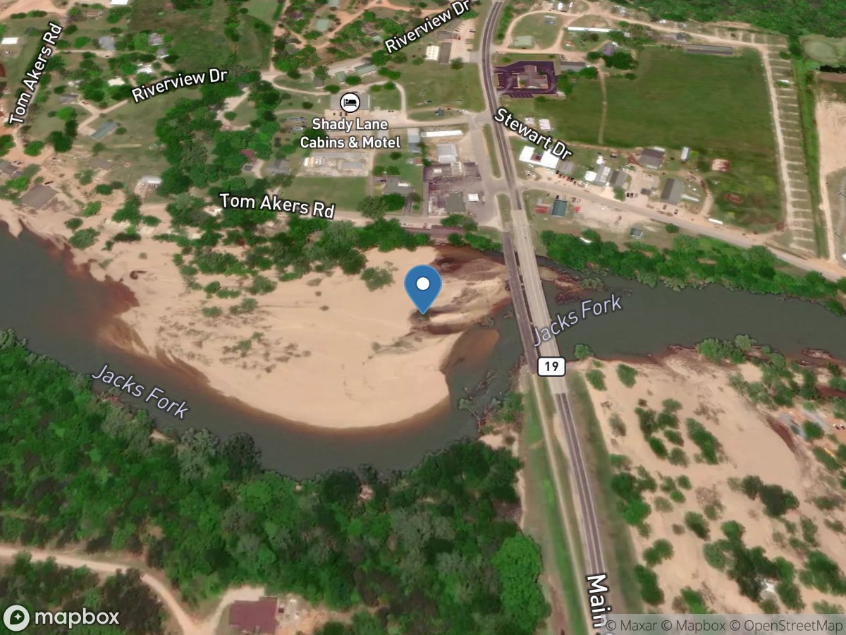
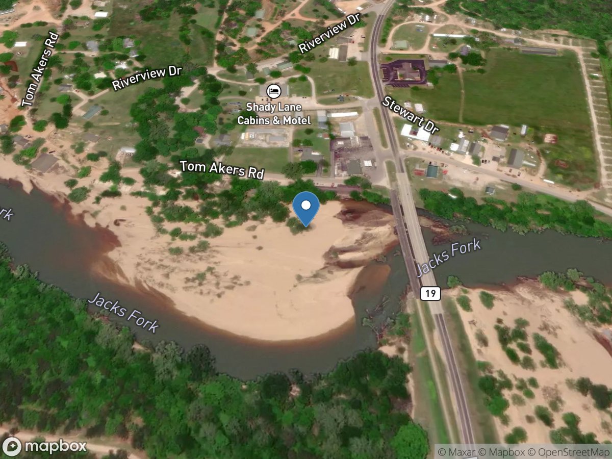
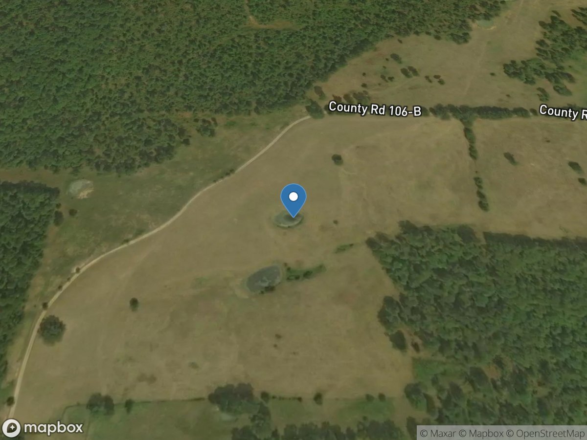
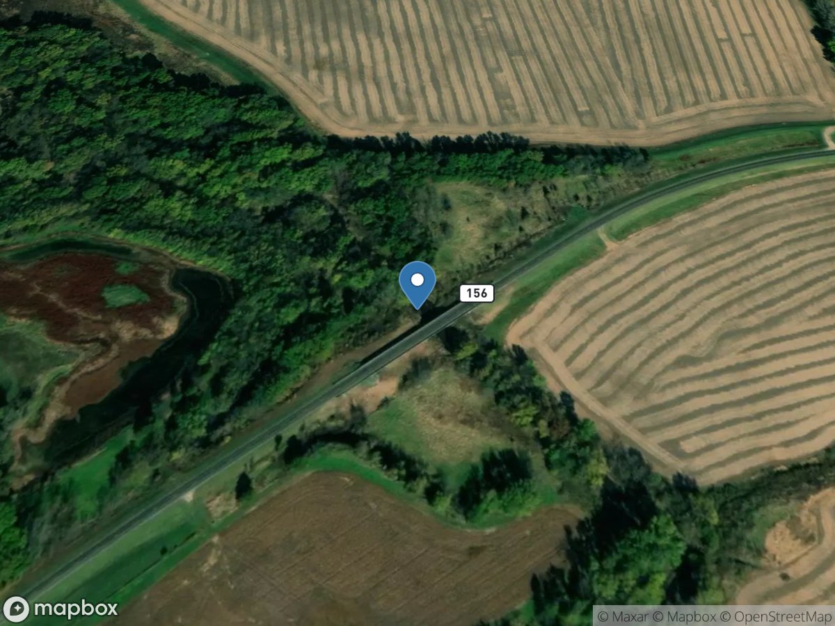
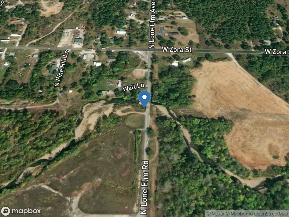
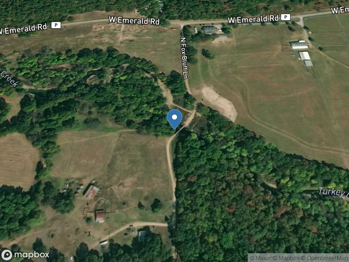
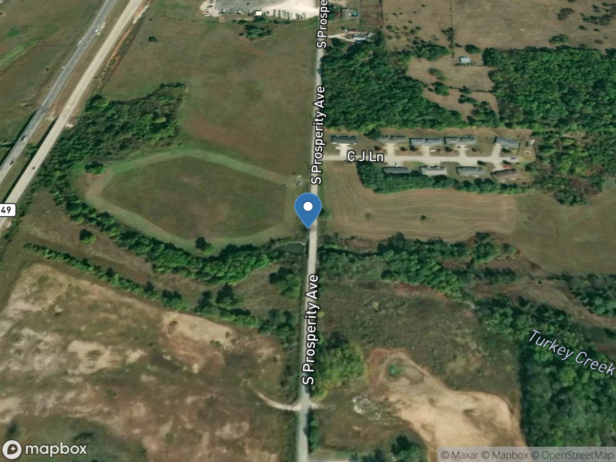
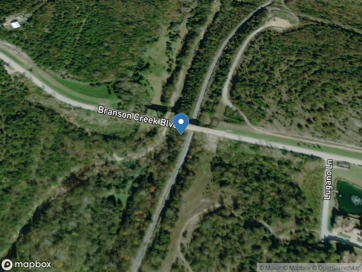
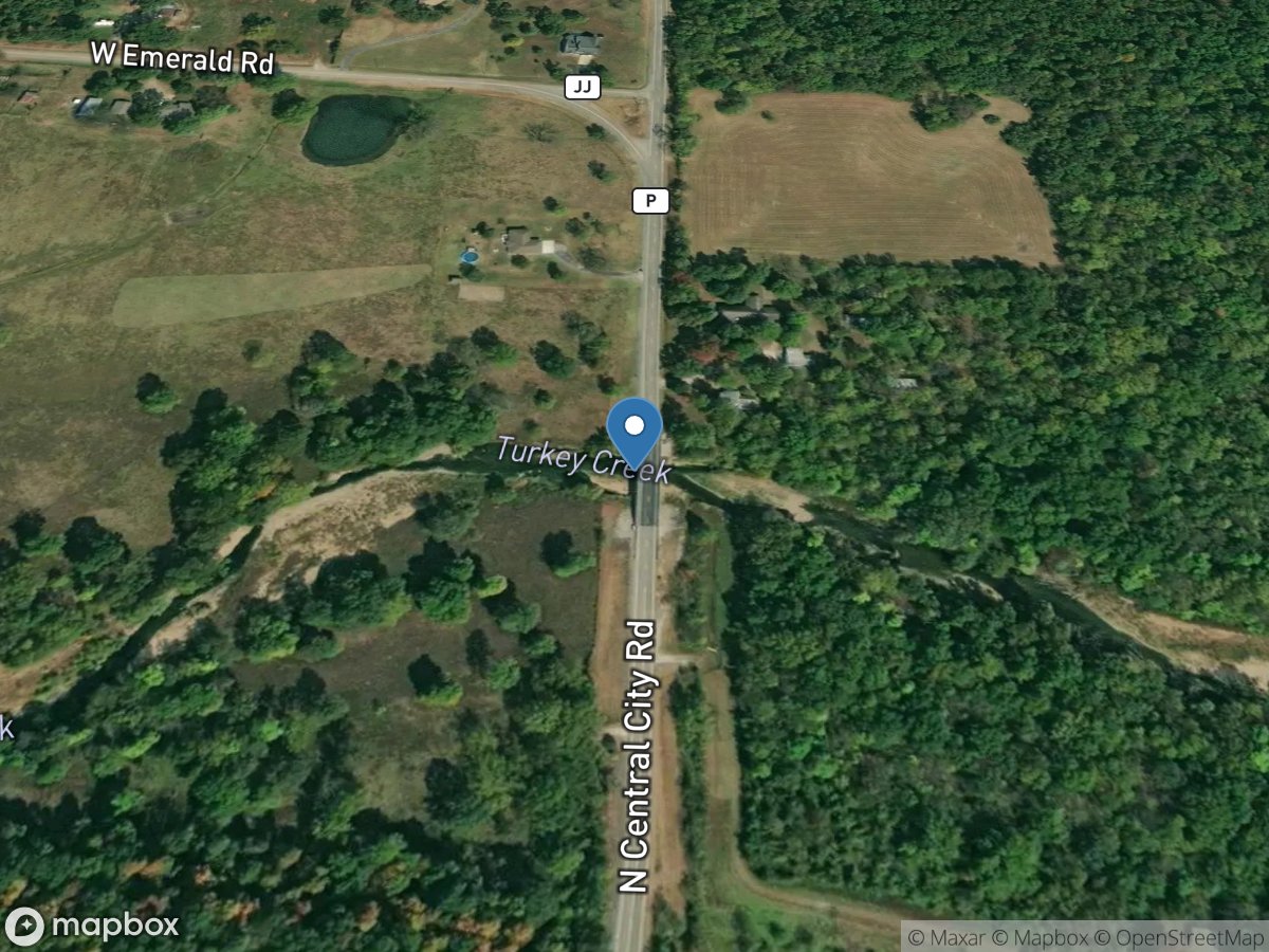
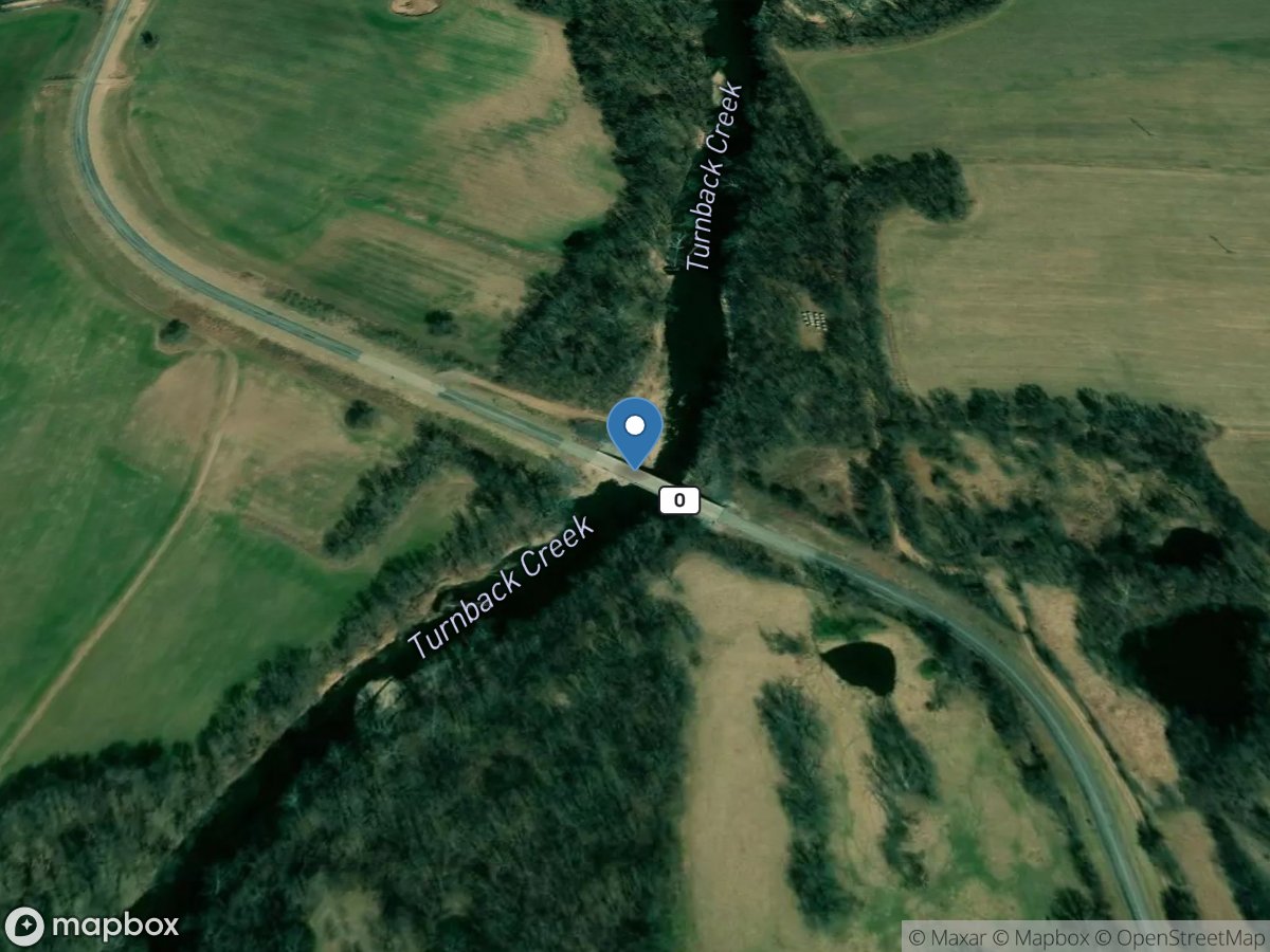
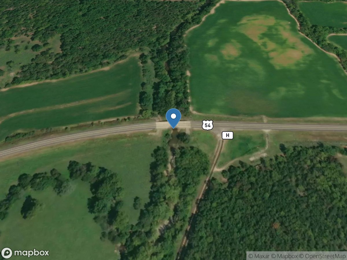
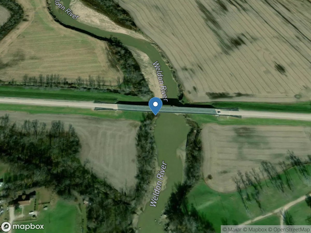
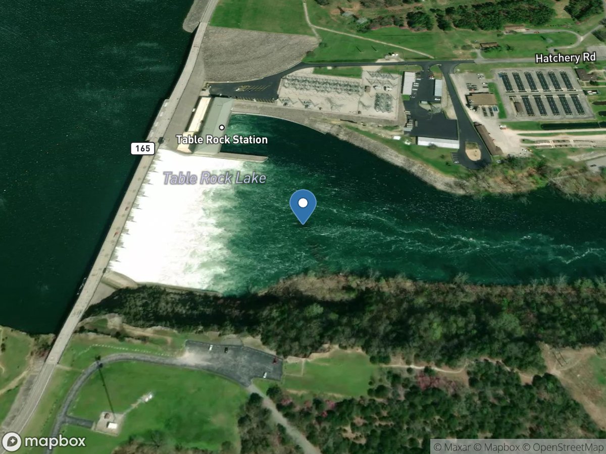
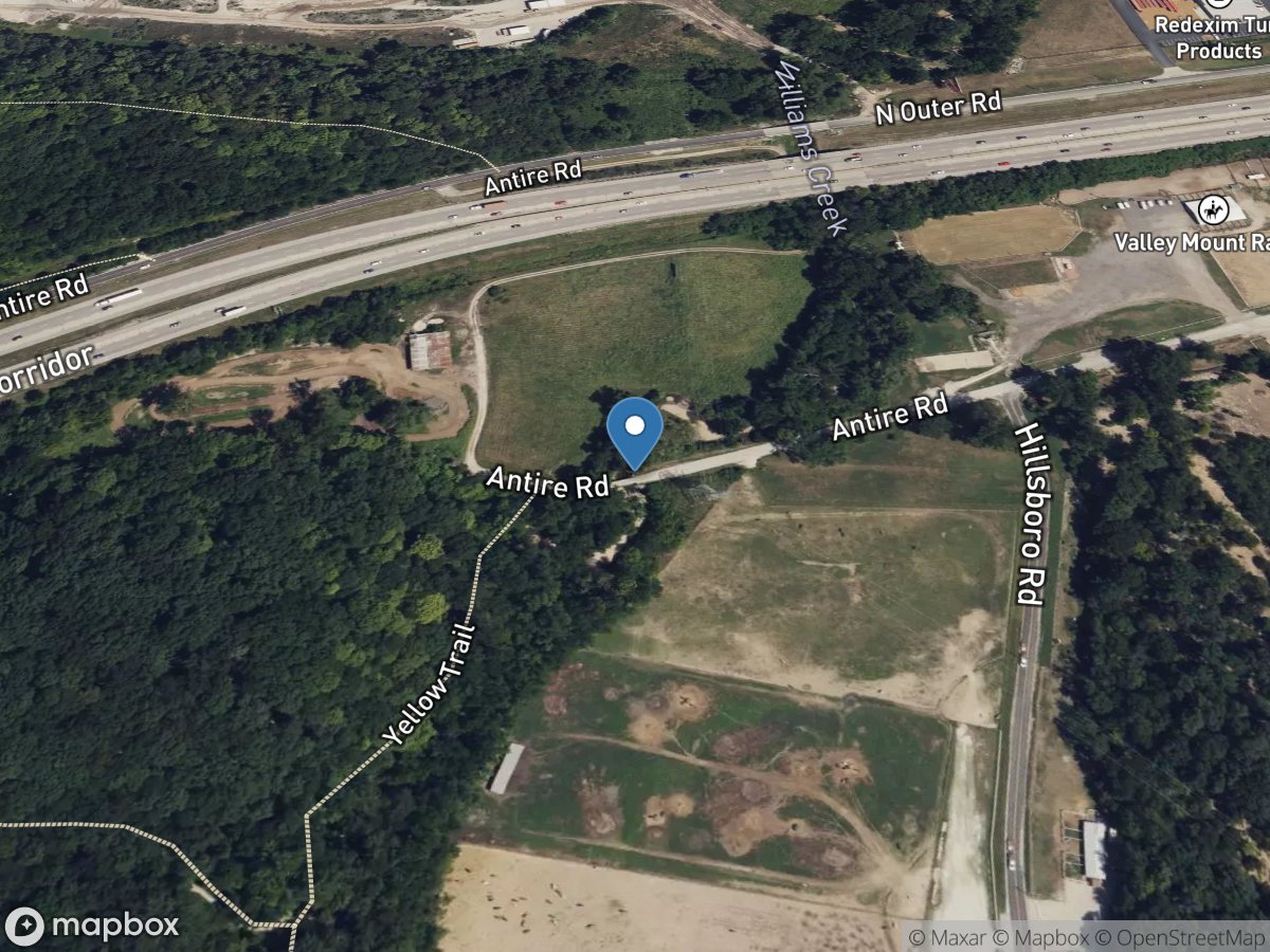
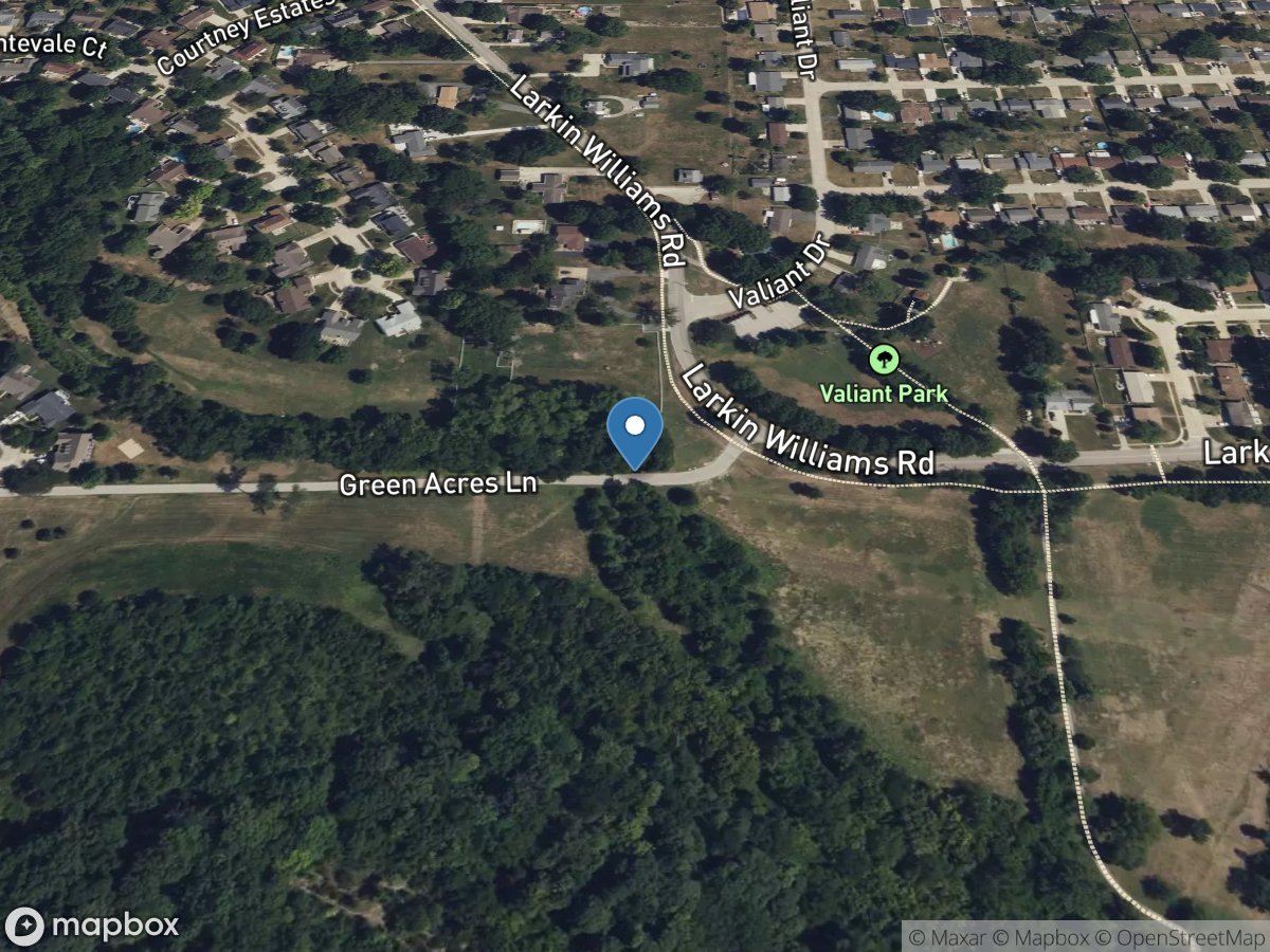
15,028
Total Gauges
53
States/Territories
314
Gauges in MO
Clear Filter
USGS Gauges
Rivers & Streams

Missouri 314 gauges

Adair Creek at Independence, MO location

Adair Creek at Independence, MO

Site: 06893830
USGS Gauge
Agee Creek near Savannah, MO location

Agee Creek near Savannah, MO

Site: 06819025
USGS Gauge
Auxvasse Creek near Reform, MO location

Auxvasse Creek near Reform, MO

Site: 06927240
USGS Gauge
Bates Creek at Potosi, Mo location

Bates Creek at Potosi, Mo

Site: 07017733
USGS Gauge
Bear Creek at Hannibal, MO location

Bear Creek at Hannibal, MO

Site: 05502000
USGS Gauge
Bear Creek near Patterson, MO location

Bear Creek near Patterson, MO

Site: 07020965
USGS Gauge
Beaver Creek at Bradleyville, MO location

Beaver Creek at Bradleyville, MO

Site: 07054080
USGS Gauge
Big Creek near Blairstown, MO location

Big Creek near Blairstown, MO

Site: 06921720
USGS Gauge
Big Muddy Creek near Bethany, MO location

Big Muddy Creek near Bethany, MO

Site: 06896370
USGS Gauge
Big Piney River near Big Piney, MO location

Big Piney River near Big Piney, MO

Site: 06930000
USGS Gauge
Big River at Byrnesville, MO location

Big River at Byrnesville, MO

Site: 07018500
USGS Gauge
Big River at Irondale, MO location

Big River at Irondale, MO

Site: 07017200
USGS Gauge
Big River below Bonne Terre, MO location

Big River below Bonne Terre, MO

Site: 07017610
USGS Gauge
Big River below Desloge, MO location

Big River below Desloge, MO

Site: 07017260
USGS Gauge
Big River near Richwoods, MO location

Big River near Richwoods, MO

Site: 07018100
USGS Gauge
Big Sugar Creek near Powell, MO location

Big Sugar Creek near Powell, MO

Site: 07188653
USGS Gauge
Black Creek near Brentwood, MO location

Black Creek near Brentwood, MO

Site: 07010082
USGS Gauge
Black River at Leeper, MO location

Black River at Leeper, MO

Site: 07062500
USGS Gauge
Black River at Poplar Bluff, MO location

Black River at Poplar Bluff, MO

Site: 07063000
USGS Gauge
Black River below Annapolis, MO location

Black River below Annapolis, MO

Site: 07061600
USGS Gauge
Black River near Annapolis, MO location

Black River near Annapolis, MO

Site: 07061500
USGS Gauge
Blackwater River at Blue Lick, MO location

Blackwater River at Blue Lick, MO

Site: 06908000
USGS Gauge
Blue River at Kansas City, MO location

Blue River at Kansas City, MO

Site: 06893500
USGS Gauge
Bonhomme Creek near Ellisville, MO location

Bonhomme Creek near Ellisville, MO

Site: 06935755
USGS Gauge
Bourbeuse River above Union, MO location

Bourbeuse River above Union, MO

Site: 07016400
USGS Gauge
Bourbeuse River at Union, MO location

Bourbeuse River at Union, MO

Site: 07016500
USGS Gauge
Bourbeuse River near High Gate, MO location

Bourbeuse River near High Gate, MO

Site: 07015720
USGS Gauge
Bryant Creek below Evans, MO location

Bryant Creek below Evans, MO

Site: 07057750
USGS Gauge
Bryant Creek near Tecumseh, MO location

Bryant Creek near Tecumseh, MO

Site: 07058000
USGS Gauge
Buffalo Creek at Tiff City, MO location

Buffalo Creek at Tiff City, MO

Site: 07189100
USGS Gauge
Bull Creek near Walnut Shade, MO location

Bull Creek near Walnut Shade, MO

Site: 07053810
USGS Gauge
Castor River at Greenbriar, MO location

Castor River at Greenbriar, MO

Site: 07021020
USGS Gauge
Castor River at Zalma, MO location

Castor River at Zalma, MO

Site: 07021000
USGS Gauge
Caulks Creek at Chesterfield, MO location

Caulks Creek at Chesterfield, MO

Site: 06935830
USGS Gauge
Cedar Creek near Lee's Summit, MO location

Cedar Creek near Lee's Summit, MO

Site: 06893796
USGS Gauge
Cedar Creek near Pleasant View, MO location

Cedar Creek near Pleasant View, MO

Site: 06919500
USGS Gauge
Cedar Fork near Gerald, MO location

Cedar Fork near Gerald, MO

Site: 06935175
USGS Gauge
Center Creek near Airport Drive, MO (CC2) location

Center Creek near Airport Drive, MO (CC2)

Site: 371001094303500
USGS Gauge
Center Creek near Smithfield, MO location

Center Creek near Smithfield, MO

Site: 07186480
USGS Gauge
Chariton River at Novinger, MO location

Chariton River at Novinger, MO

Site: 06904500
USGS Gauge
Clear Creek near Nevada, MO location

Clear Creek near Nevada, MO

Site: 06918270
USGS Gauge
Courtois Creek at Berryman, MO location

Courtois Creek at Berryman, MO

Site: 07014200
USGS Gauge
Cowmire Creek at Bridgeton, MO location

Cowmire Creek at Bridgeton, MO

Site: 06935980
USGS Gauge
Crooked Creek near Paris, MO location

Crooked Creek near Paris, MO

Site: 05503800
USGS Gauge
Crooked River near Richmond, MO location

Crooked River near Richmond, MO

Site: 06895000
USGS Gauge
Cuivre River at Old Monroe, MO location

Cuivre River at Old Monroe, MO

Site: 05514705
USGS Gauge
Cuivre River near Troy, MO location

Cuivre River near Troy, MO

Site: 05514500
USGS Gauge
Current River above Akers, MO location

Current River above Akers, MO

Site: 07064533
USGS Gauge
Current River at Doniphan, MO location

Current River at Doniphan, MO

Site: 07068000
USGS Gauge
Current River at Van Buren, MO location

Current River at Van Buren, MO

Site: 07067000
USGS Gauge
Dardenne Creek at O'Fallon, MO location

Dardenne Creek at O'Fallon, MO

Site: 05514840
USGS Gauge
Deer Creek at Ladue, MO location

Deer Creek at Ladue, MO

Site: 07010075
USGS Gauge
Deer Creek at Maplewood, MO location

Deer Creek at Maplewood, MO

Site: 07010086
USGS Gauge
Denny Creek at Ladue, MO location

Denny Creek at Ladue, MO

Site: 07010040
USGS Gauge
Dry Fork near Montgomery City, MO location

Dry Fork near Montgomery City, MO

Site: 06934680
USGS Gauge
East Locust Creek near Boynton, MO location

East Locust Creek near Boynton, MO

Site: 06901205
USGS Gauge
Elk River near Tiff City, Mo location

Elk River near Tiff City, Mo

Site: 07189000
USGS Gauge
Engelholm Creek near Wellston, MO location

Engelholm Creek near Wellston, MO

Site: 07010035
USGS Gauge
Fee Fee Creek near Bridgeton, MO location

Fee Fee Creek near Bridgeton, MO

Site: 06935955
USGS Gauge
Fenton Creek near Fenton, MO location

Fenton Creek near Fenton, MO

Site: 07019220
USGS Gauge
Finley Creek below Riverdale, MO location

Finley Creek below Riverdale, MO

Site: 07052345
USGS Gauge
Fishing River above Mosby, MO location

Fishing River above Mosby, MO

Site: 06894200
USGS Gauge
Fishpot Creek at Valley Park, MO location

Fishpot Creek at Valley Park, MO

Site: 07019120
USGS Gauge
Flat Creek below Jenkins, MO location

Flat Creek below Jenkins, MO

Site: 07052820
USGS Gauge
Fox River at Wayland, MO location

Fox River at Wayland, MO

Site: 05495000
USGS Gauge
Ganaway Creek near Fayette, MO location

Ganaway Creek near Fayette, MO

Site: 06909220
USGS Gauge
Gasconade River above Jerome, MO location

Gasconade River above Jerome, MO

Site: 06930800
USGS Gauge
Gasconade River at Jerome, MO location

Gasconade River at Jerome, MO

Site: 06933500
USGS Gauge
Grand River at Chillicothe, MO location

Grand River at Chillicothe, MO

Site: 06899680
USGS Gauge
Grand River near Gallatin, MO location

Grand River near Gallatin, MO

Site: 06897500
USGS Gauge
Grand River near Pattonsburg, MO location

Grand River near Pattonsburg, MO

Site: 06896900
USGS Gauge
Grand River near Sumner, MO location

Grand River near Sumner, MO

Site: 06902000
USGS Gauge
Gravois Creek near Mehlville, MO location

Gravois Creek near Mehlville, MO

Site: 07010180
USGS Gauge
Hamilton Creek near Cabool, MO location

Hamilton Creek near Cabool, MO

Site: 06928850
USGS Gauge
Hinkson Creek at Columbia, MO location

Hinkson Creek at Columbia, MO

Site: 06910230
USGS Gauge
Huzzah Creek near Steelville, MO location

Huzzah Creek near Steelville, MO

Site: 07014000
USGS Gauge
Indian Creek near Lanagan, MO location

Indian Creek near Lanagan, MO

Site: 07188885
USGS Gauge
Jacks Fork above Two River, MO location

Jacks Fork above Two River, MO

Site: 07066110
USGS Gauge
Jacks Fork at Alley Spring, MO location

Jacks Fork at Alley Spring, MO

Site: 07065495
USGS Gauge
Jacks Fork at Eminence, MO location

Jacks Fork at Eminence, MO

Site: 07066000
USGS Gauge
Jacks Fork near Mountain View, MO location

Jacks Fork near Mountain View, MO

Site: 07065200
USGS Gauge
James River at Galena, MO location

James River at Galena, MO

Site: 07052500
USGS Gauge
James River near Boaz, MO location

James River near Boaz, MO

Site: 07052250
USGS Gauge
James River near Springfield, MO location

James River near Springfield, MO

Site: 07050700
USGS Gauge
Joachim Creek at De Soto, MO location

Joachim Creek at De Soto, MO

Site: 07019500
USGS Gauge
Keifer Creek near Ballwin, MO location

Keifer Creek near Ballwin, MO

Site: 07019072
USGS Gauge
Lake Creek near Cole Camp, MO location

Lake Creek near Cole Camp, MO

Site: 06906715
USGS Gauge
Lamine River near Otterville, MO location

Lamine River near Otterville, MO

Site: 06906800
USGS Gauge
Lamine River near Pilot Grove, MO location

Lamine River near Pilot Grove, MO

Site: 06907300
USGS Gauge
Lick Creek at Perry, MO location

Lick Creek at Perry, MO

Site: 05507600
USGS Gauge
Lindley Creek near Polk, MO location

Lindley Creek near Polk, MO

Site: 06921200
USGS Gauge
Little Blue River at Grandview, MO location

Little Blue River at Grandview, MO

Site: 06893750
USGS Gauge
Little Fabius River near Edina, MO location

Little Fabius River near Edina, MO

Site: 05499200
USGS Gauge
Little Osage River at Horton, MO location

Little Osage River at Horton, MO

Site: 06917060
USGS Gauge
Little Piney Creek at Newburg, MO location

Little Piney Creek at Newburg, MO

Site: 06932000
USGS Gauge
Little Tarkio Creek near Tarkio location

Little Tarkio Creek near Tarkio

Site: 06815530
USGS Gauge
Locust Creek near Linneus, MO location

Locust Creek near Linneus, MO

Site: 06901500
USGS Gauge
Locust Creek near Unionville, MO location

Locust Creek near Unionville, MO

Site: 06900900
USGS Gauge
Logan Creek at Ellington, MO location

Logan Creek at Ellington, MO

Site: 07061900
USGS Gauge
Long Branch Creek near Atlanta, MO location

Long Branch Creek near Atlanta, MO

Site: 06906150
USGS Gauge
Long Branch near Santa Fe, MO location

Long Branch near Santa Fe, MO

Site: 05506100
USGS Gauge
Louse Creek near Alton, MO location

Louse Creek near Alton, MO

Site: 07071750
USGS Gauge
Maries River at Westphalia, MO location

Maries River at Westphalia, MO

Site: 06927000
USGS Gauge
Marmaton River near Nevada, MO location

Marmaton River near Nevada, MO

Site: 06918060
USGS Gauge
Marmaton River near Richards, MO location

Marmaton River near Richards, MO

Site: 06917560
USGS Gauge
Marrowbone Creek near Gallatin, MO location

Marrowbone Creek near Gallatin, MO

Site: 06897507
USGS Gauge
Martigney Creek near Arnold, MO location

Martigney Creek near Arnold, MO

Site: 07010208
USGS Gauge
Mattese Creek near Mattese, MO location

Mattese Creek near Mattese, MO

Site: 07019317
USGS Gauge
Medicine Creek at Lucerne, MO location

Medicine Creek at Lucerne, MO

Site: 06899900
USGS Gauge
Medicine Creek near Laredo, MO location

Medicine Creek near Laredo, MO

Site: 06900050
USGS Gauge
Meramec River at Cook Station, MO location

Meramec River at Cook Station, MO

Site: 07010350
USGS Gauge
Meramec River at Fenton, MO location

Meramec River at Fenton, MO

Site: 07019210
USGS Gauge
Meramec River at Pacific, MO location

Meramec River at Pacific, MO

Site: 07017020
USGS Gauge
Meramec River at Paulina Hills, MO location

Meramec River at Paulina Hills, MO

Site: 07019280
USGS Gauge
Meramec River at Valley Park, MO location

Meramec River at Valley Park, MO

Site: 07019130
USGS Gauge
Meramec River near Eureka, MO location

Meramec River near Eureka, MO

Site: 07019000
USGS Gauge
Meramec River near Steelville, MO location

Meramec River near Steelville, MO

Site: 07013000
USGS Gauge
Meramec River near Sullivan, MO location

Meramec River near Sullivan, MO

Site: 07014500
USGS Gauge
Middle Fabius River near Ewing, MO location

Middle Fabius River near Ewing, MO

Site: 05498150
USGS Gauge
Mill Creek near Florissant, MO location

Mill Creek near Florissant, MO

Site: 06935997
USGS Gauge
Mississippi River at Lock & DAM 22 (corps) location

Mississippi River at Lock & DAM 22 (corps)

Site: 393810091145601
USGS Gauge
Missouri River above Parkville, MO location

Missouri River above Parkville, MO

Site: 06821250
USGS Gauge
Missouri River at Boonville, MO location

Missouri River at Boonville, MO

Site: 06909000
USGS Gauge
Missouri River at Glasgow, MO location

Missouri River at Glasgow, MO

Site: 06906500
USGS Gauge
Missouri River at Hermann, MO location

Missouri River at Hermann, MO

Site: 06934500
USGS Gauge
Missouri River at Kansas City, MO location

Missouri River at Kansas City, MO

Site: 06893000
USGS Gauge
Missouri River at Napoleon, MO location

Missouri River at Napoleon, MO

Site: 06894650
USGS Gauge
Missouri River at Randolph, MO location

Missouri River at Randolph, MO

Site: 06893060
USGS Gauge
Missouri River at Saint Joseph, MO location

Missouri River at Saint Joseph, MO

Site: 06818000
USGS Gauge
Missouri River at Washington, MO location

Missouri River at Washington, MO

Site: 06935450
USGS Gauge
Missouri River at Waverly, MO location

Missouri River at Waverly, MO

Site: 06895500
USGS Gauge
Missouri River near Labadie, MO location

Missouri River near Labadie, MO

Site: 06935550
USGS Gauge
Moniteau Creek near Fayette, MO location

Moniteau Creek near Fayette, MO

Site: 06909500
USGS Gauge
Mozingo Creek near Pickering, MO location

Mozingo Creek near Pickering, MO

Site: 06819550
USGS Gauge
Mud Creek near Moberly, MO location

Mud Creek near Moberly, MO

Site: 05506193
USGS Gauge
Mussel Fork near Musselfork, MO location

Mussel Fork near Musselfork, MO

Site: 06906000
USGS Gauge
New Hope Creek near Holt, MO location

New Hope Creek near Holt, MO

Site: 06894250
USGS Gauge
Niangua River at Windyville, MO location

Niangua River at Windyville, MO

Site: 06923250
USGS Gauge
No Creek near Dunlap location

No Creek near Dunlap

Site: 06899580
USGS Gauge
Nodaway River near Graham, MO location

Nodaway River near Graham, MO

Site: 06817700
USGS Gauge
North Fabius River near Ewing, MO location

North Fabius River near Ewing, MO

Site: 05497150
USGS Gauge
North Fork River near Tecumseh, MO location

North Fork River near Tecumseh, MO

Site: 07057500
USGS Gauge
North River at Palmyra, MO location

North River at Palmyra, MO

Site: 05501000
USGS Gauge
Osage River above Schell City, MO location

Osage River above Schell City, MO

Site: 06918070
USGS Gauge
Osage River at Taberville, MO location

Osage River at Taberville, MO

Site: 06918250
USGS Gauge
Osage River at Tuscumbia, MO location

Osage River at Tuscumbia, MO

Site: 06926080
USGS Gauge
Osage River at Warsaw, MO location

Osage River at Warsaw, MO

Site: 06922500
USGS Gauge
Osage River below St. Thomas, MO location

Osage River below St. Thomas, MO

Site: 06926510
USGS Gauge
Osage River near Bagnell, MO location

Osage River near Bagnell, MO

Site: 06926000
USGS Gauge
Pearson Creek near Springfield, MO location

Pearson Creek near Springfield, MO

Site: 07050690
USGS Gauge
Platte River at Sharps Station, MO location

Platte River at Sharps Station, MO

Site: 06821190
USGS Gauge
Platte River near Agency, MO location

Platte River near Agency, MO

Site: 06820500
USGS Gauge
Pomme de Terre River near Polk, MO location

Pomme de Terre River near Polk, MO

Site: 06921070
USGS Gauge
River Des Peres at Saint Louis, MO location

River Des Peres at Saint Louis, MO

Site: 07010097
USGS Gauge
River Des Peres at Shrewsbury, MO location

River Des Peres at Shrewsbury, MO

Site: 07010088
USGS Gauge
Sac River near Caplinger Mills, MO location

Sac River near Caplinger Mills, MO

Site: 06919900
USGS Gauge
Sac River near Dadeville, MO location

Sac River near Dadeville, MO

Site: 06918440
USGS Gauge
Sac River near Stockton, MO location

Sac River near Stockton, MO

Site: 06919000
USGS Gauge
Salt River near Center, MO location

Salt River near Center, MO

Site: 05507800
USGS Gauge
Salt River near New London, MO location

Salt River near New London, MO

Site: 05508000
USGS Gauge
Sebago Creek near Rock Hill, MO location

Sebago Creek near Rock Hill, MO

Site: 07010070
USGS Gauge
Shoal Creek above Joplin, MO location

Shoal Creek above Joplin, MO

Site: 07187000
USGS Gauge
Shoal Creek near Braymer, MO location

Shoal Creek near Braymer, MO

Site: 06899700
USGS Gauge
Short Creek near Belle Center, MO (SC4) location

Short Creek near Belle Center, MO (SC4)

Site: 370535094342600
USGS Gauge
Short Creek near Galena, KS  (SC1) location

Short Creek near Galena, KS (SC1)

Site: 370525094365600
USGS Gauge
South Creek near Springfield, MO location

South Creek near Springfield, MO

Site: 07052120
USGS Gauge
South Fabius River near Taylor, MO location

South Fabius River near Taylor, MO

Site: 05500000
USGS Gauge
South Grand River at Archie, MO location

South Grand River at Archie, MO

Site: 06921590
USGS Gauge
South Grand River at Urich, MO location

South Grand River at Urich, MO

Site: 06921600
USGS Gauge
Spring Creek at Stahl, MO location

Spring Creek at Stahl, MO

Site: 06904650
USGS Gauge
Spring River above Carthage, MO location

Spring River above Carthage, MO

Site: 07185764
USGS Gauge
Spring River at Carthage, MO location

Spring River at Carthage, MO

Site: 07185765
USGS Gauge
Spring River at La Russell, MO location

Spring River at La Russell, MO

Site: 07185700
USGS Gauge
Spring River near Waco, MO location

Spring River near Waco, MO

Site: 07186000
USGS Gauge
St. Francis River at Fisk, MO location

St. Francis River at Fisk, MO

Site: 07040000
USGS Gauge
St. Francis River near Roselle, MO location

St. Francis River near Roselle, MO

Site: 07034000
USGS Gauge
St. Francis River near Saco, MO location

St. Francis River near Saco, MO

Site: 07036100
USGS Gauge
Sugar Creek at Kirkwood, MO location

Sugar Creek at Kirkwood, MO

Site: 07019175
USGS Gauge
Swan Creek near Swan, MO location

Swan Creek near Swan, MO

Site: 07053900
USGS Gauge
Tabo Creek near Higginsville location

Tabo Creek near Higginsville

Site: 06895192
USGS Gauge
Tarkio River at Fairfax, MO location

Tarkio River at Fairfax, MO

Site: 06813000
USGS Gauge
Thompson River at Mount Moriah, MO location

Thompson River at Mount Moriah, MO

Site: 06898100
USGS Gauge
Thompson River at Trenton, MO location

Thompson River at Trenton, MO

Site: 06899500
USGS Gauge
Training Site  1 location

Training Site 1

Site: 07066001
USGS Gauge
Training Site 2 location

Training Site 2

Site: 07066002
USGS Gauge
Training Site 3 location

Training Site 3

Site: 07066003
USGS Gauge
Training Site 4 location

Training Site 4

Site: 07066004
USGS Gauge
Training Site 5 location

Training Site 5

Site: 07066005
USGS Gauge
Training Site 6 location

Training Site 6

Site: 07066006
USGS Gauge
Troublesome Creek near Ewing, MO location

Troublesome Creek near Ewing, MO

Site: 05499900
USGS Gauge
Turkey Creek near Belle Center, MO (TC2) location

Turkey Creek near Belle Center, MO (TC2)

Site: 370734094363300
USGS Gauge
Turkey Creek near Duenweg, MO (TC3) location

Turkey Creek near Duenweg, MO (TC3)

Site: 370429094252300
USGS Gauge
Turkey Creek near Hollister, MO location

Turkey Creek near Hollister, MO

Site: 07053690
USGS Gauge
Turkey Creek near Joplin, MO location

Turkey Creek near Joplin, MO

Site: 07186600
USGS Gauge
Two Mile Creek at Ladue, MO location

Two Mile Creek at Ladue, MO

Site: 07010061
USGS Gauge
Wakenda Creek at Carrollton, MO location

Wakenda Creek at Carrollton, MO

Site: 06896000
USGS Gauge
Weaubleau Creek near Weaubleau, MO location

Weaubleau Creek near Weaubleau, MO

Site: 06920520
USGS Gauge
Weldon River near Princeton, MO location

Weldon River near Princeton, MO

Site: 06898800
USGS Gauge
Wilson Creek at Springfield, MO location

Wilson Creek at Springfield, MO

Site: 07052000
USGS Gauge
Wilson Creek near Brookline, MO location

Wilson Creek near Brookline, MO

Site: 07052152
USGS Gauge
Wilson Creek near Springfield, MO location

Wilson Creek near Springfield, MO

Site: 07052100
USGS Gauge
Wyaconda River above Canton, MO location

Wyaconda River above Canton, MO

Site: 05496000
USGS Gauge
Yarnell Creek at Fenton, MO location

Yarnell Creek at Fenton, MO

Site: 07019195
USGS Gauge