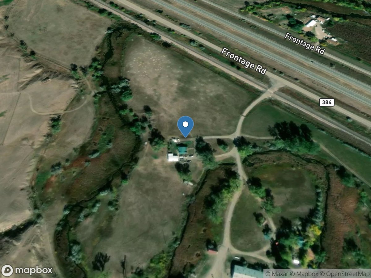
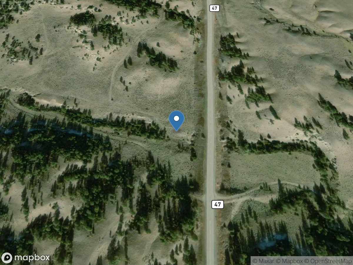
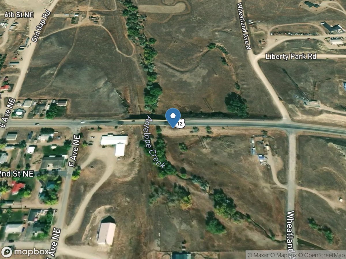
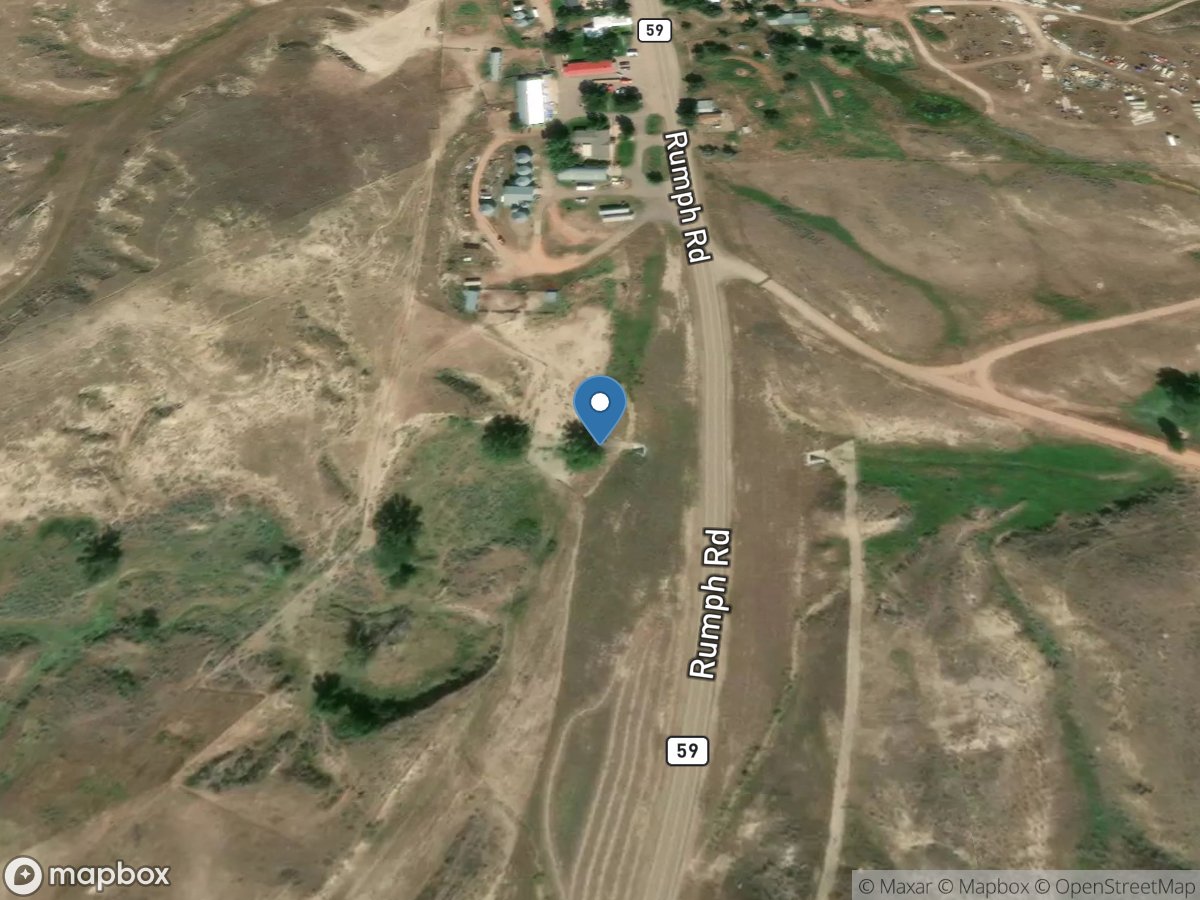
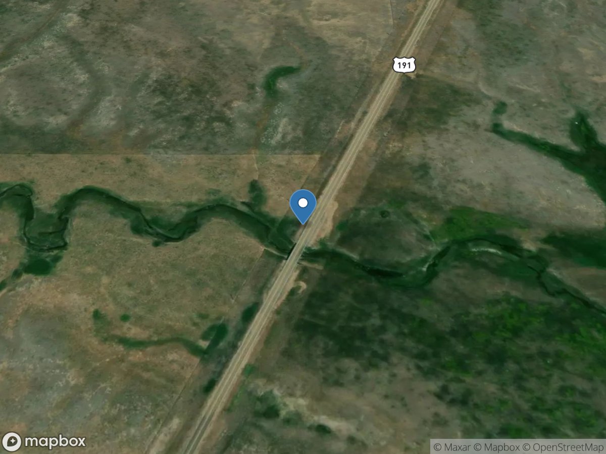
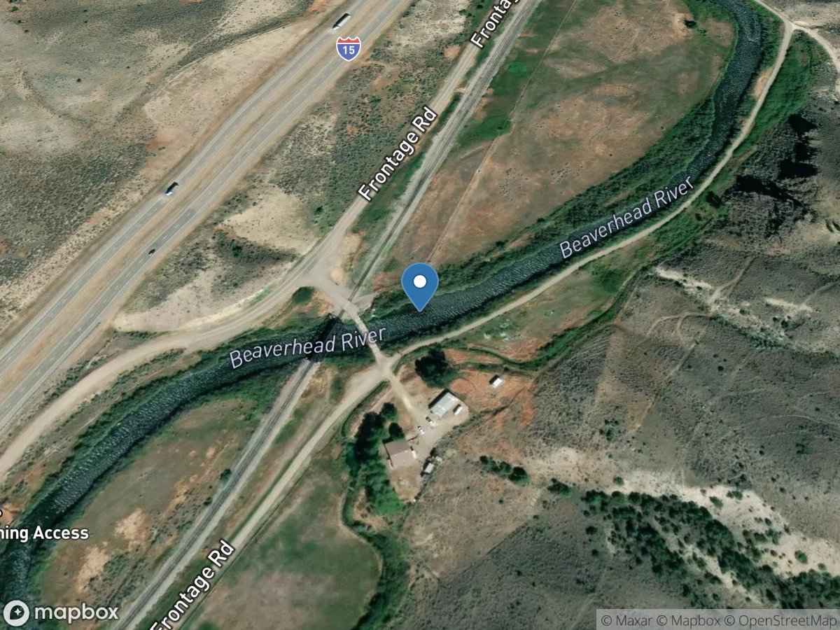
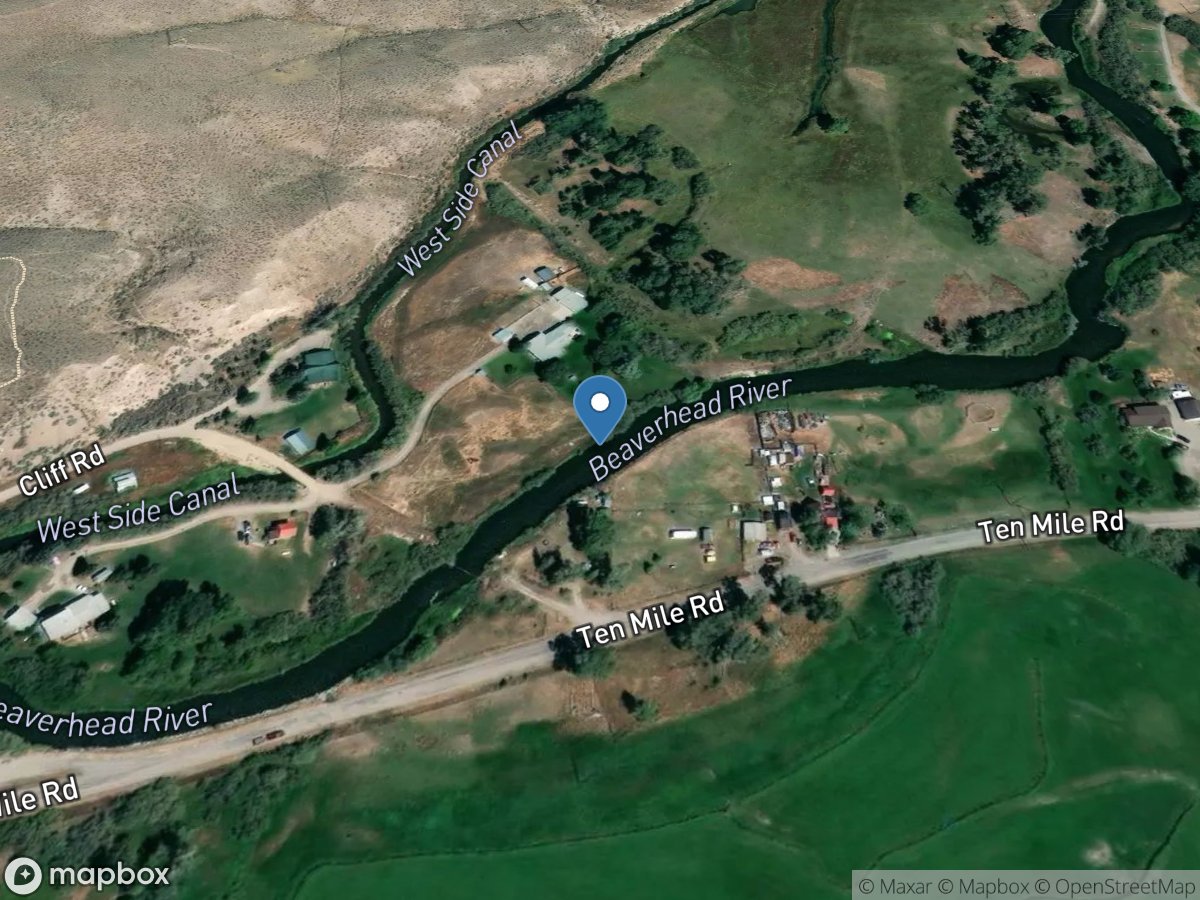
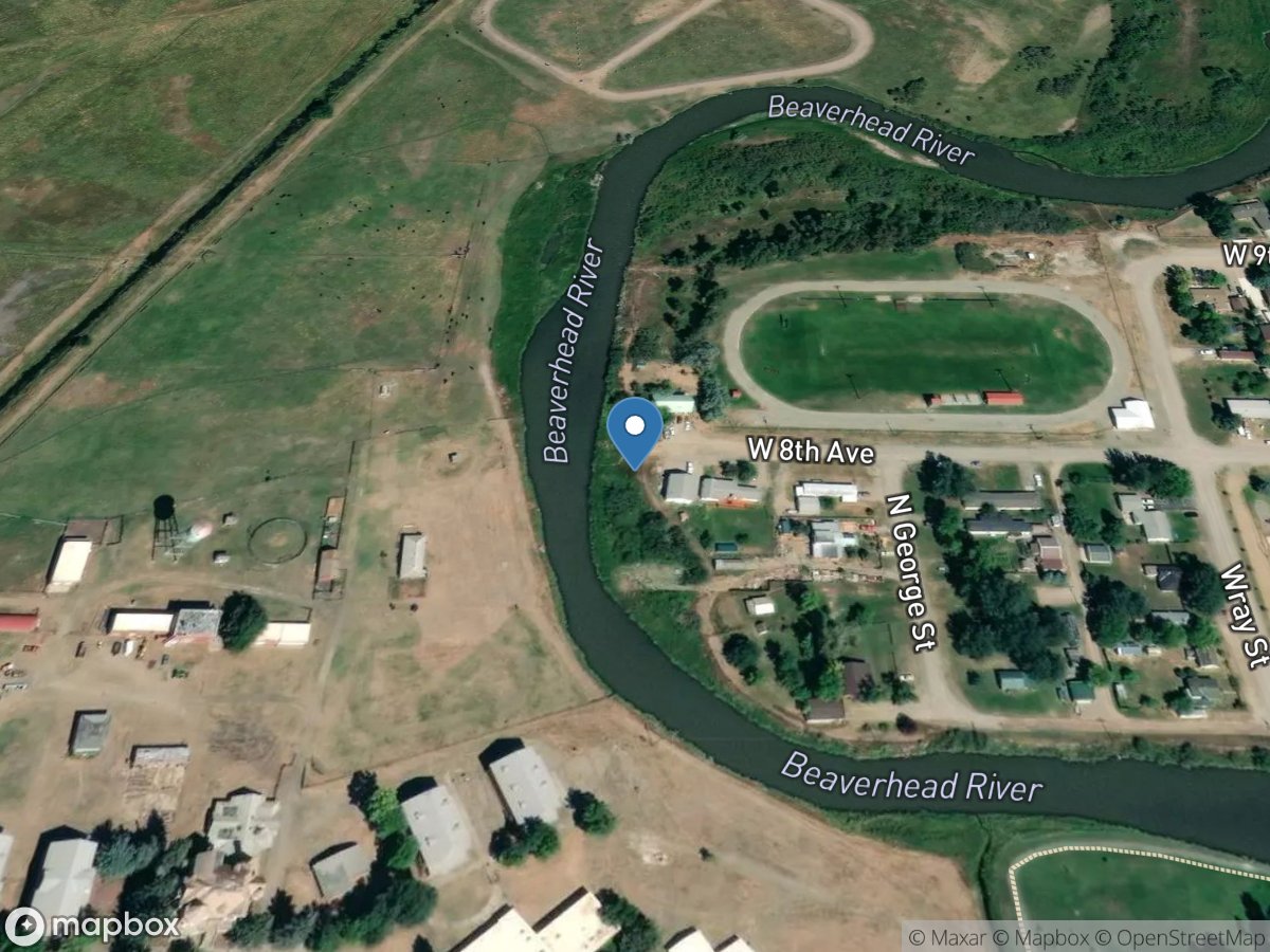
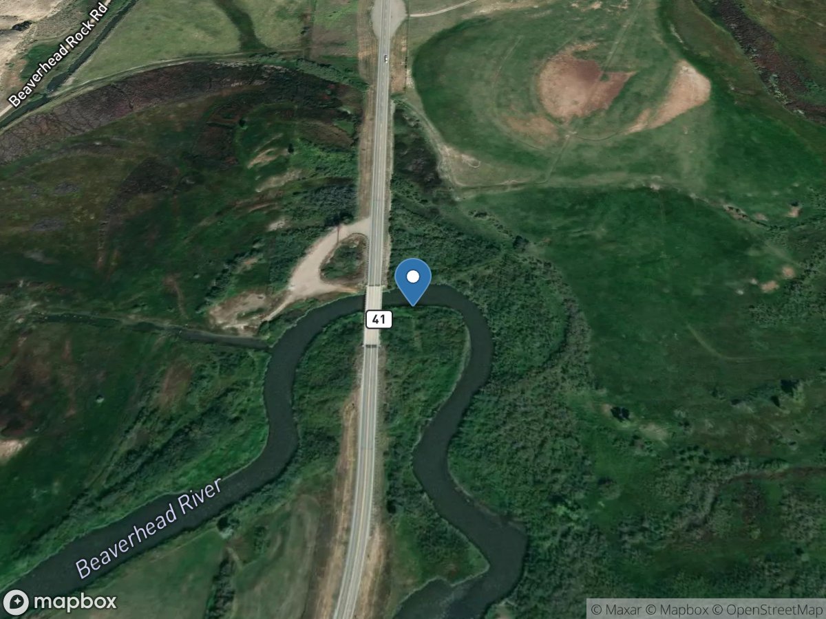
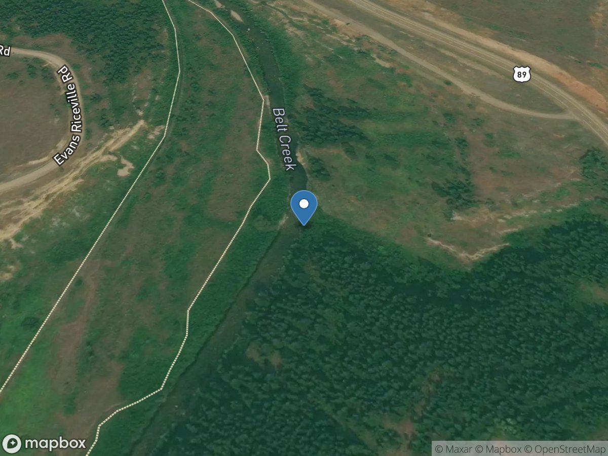
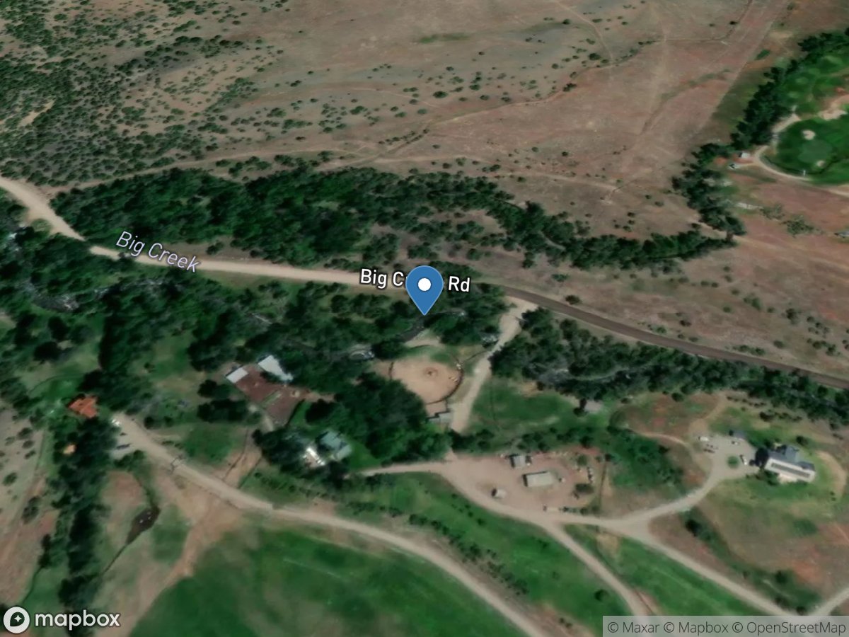
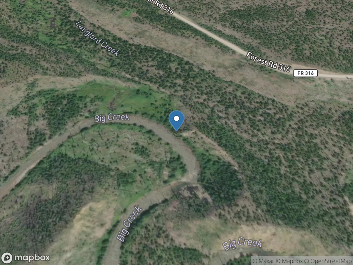
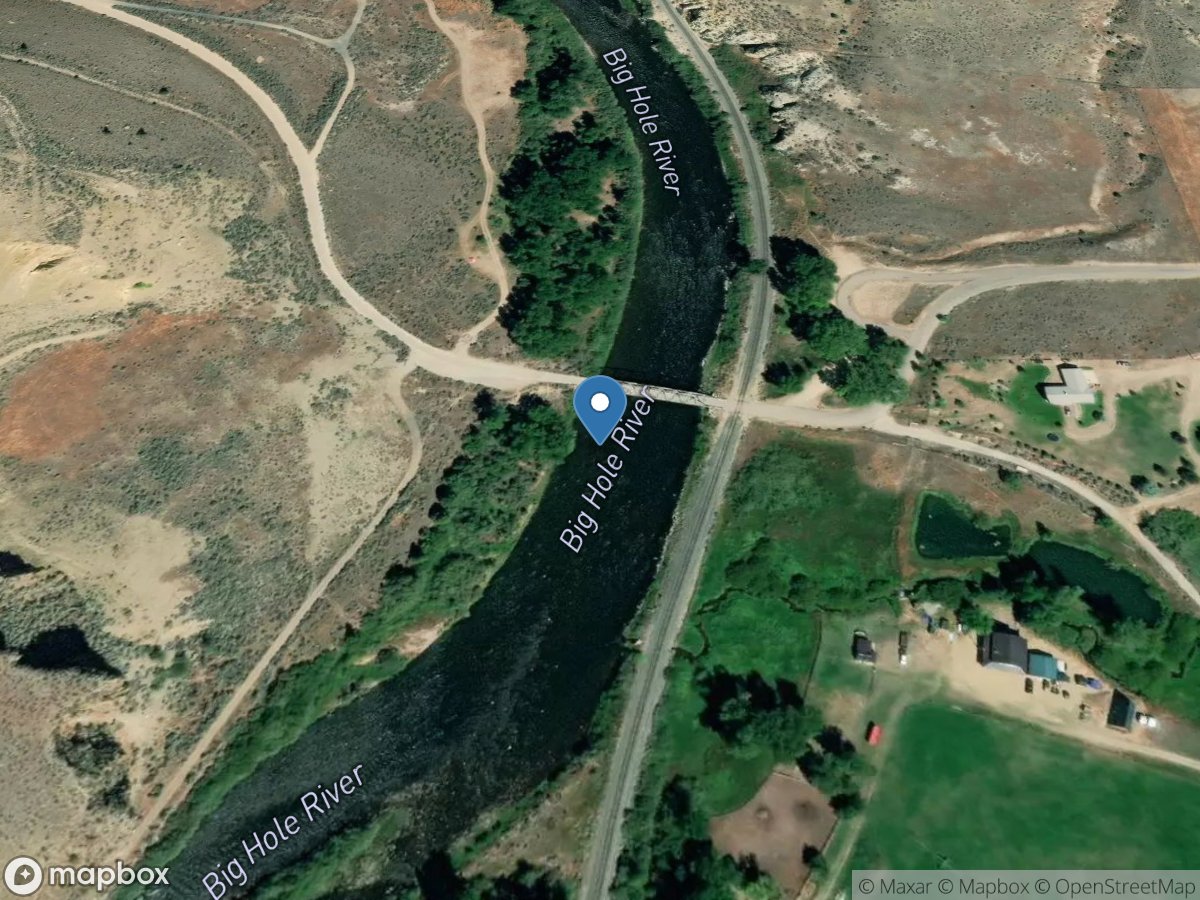
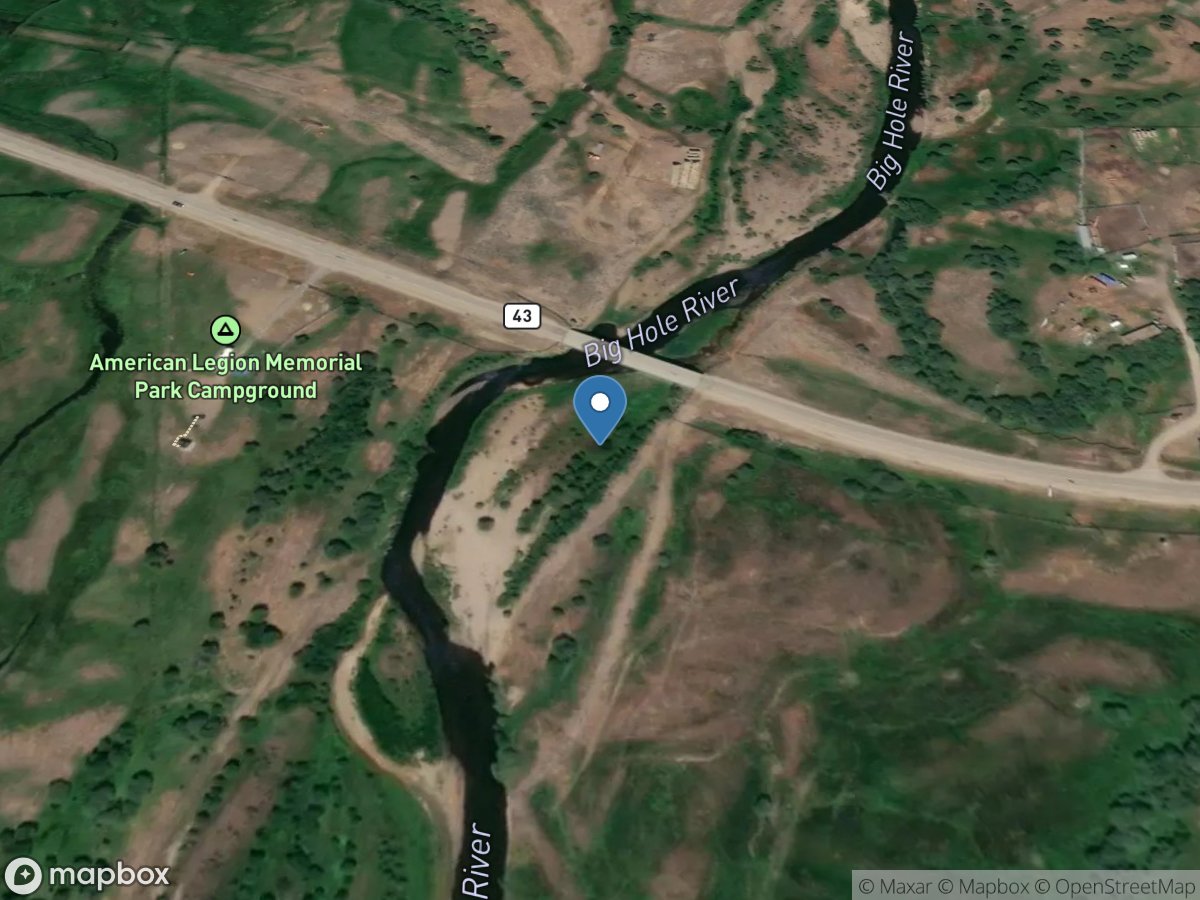
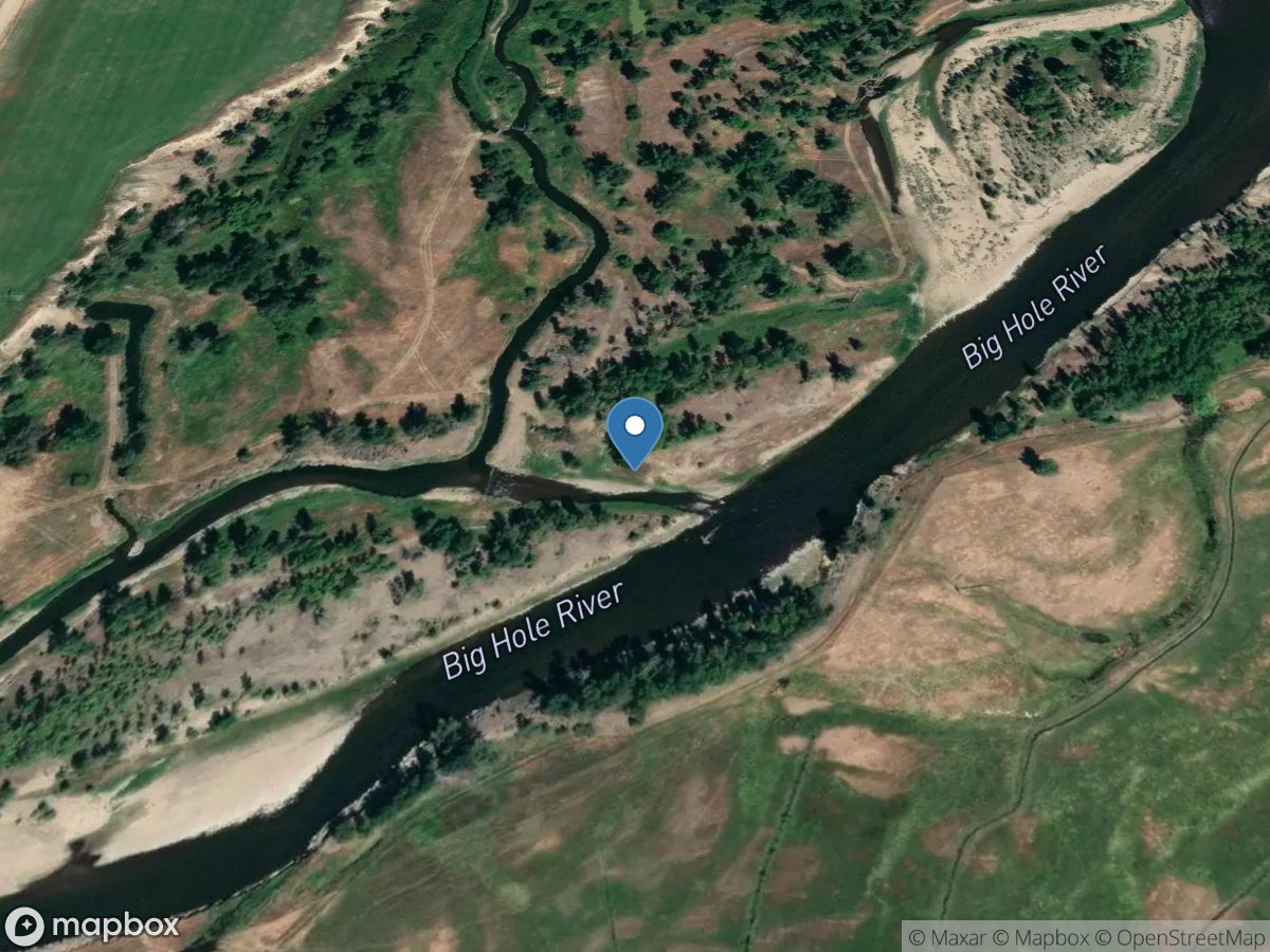
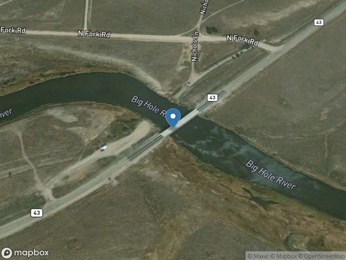
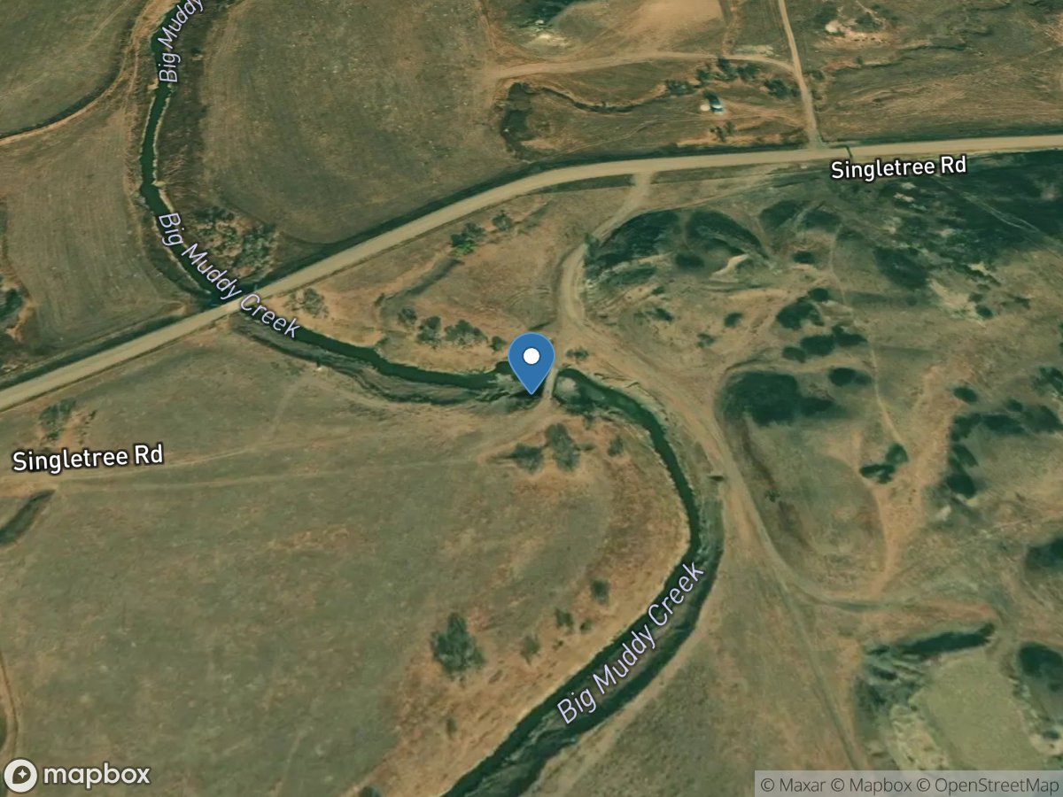
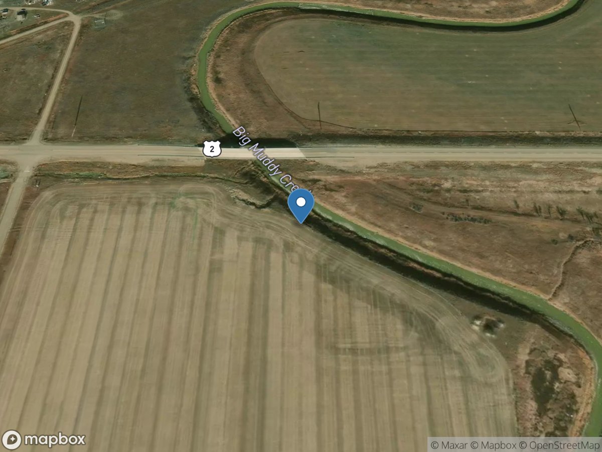
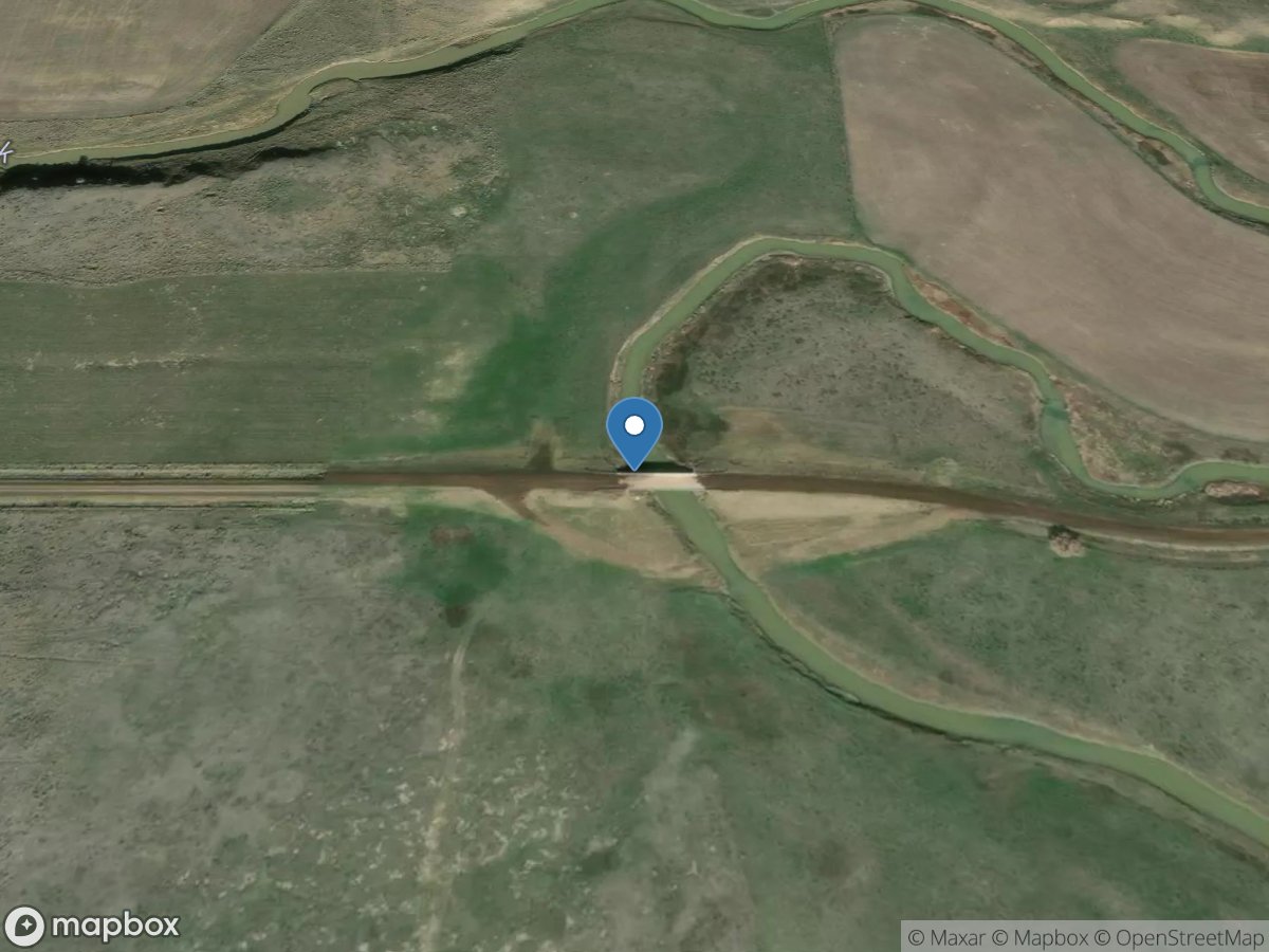
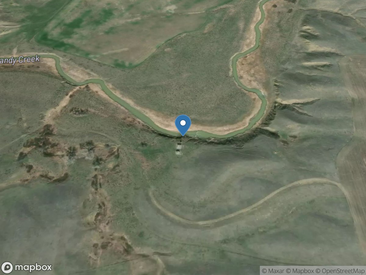
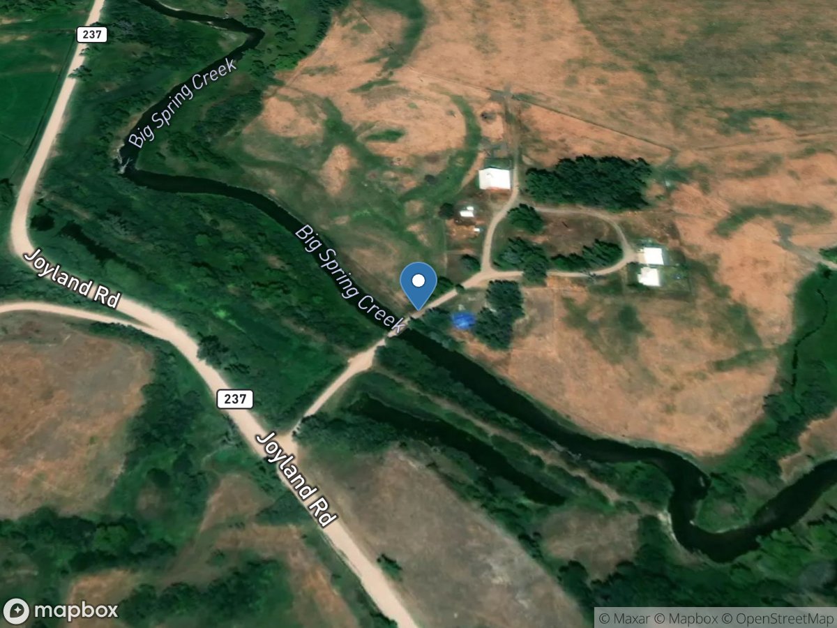
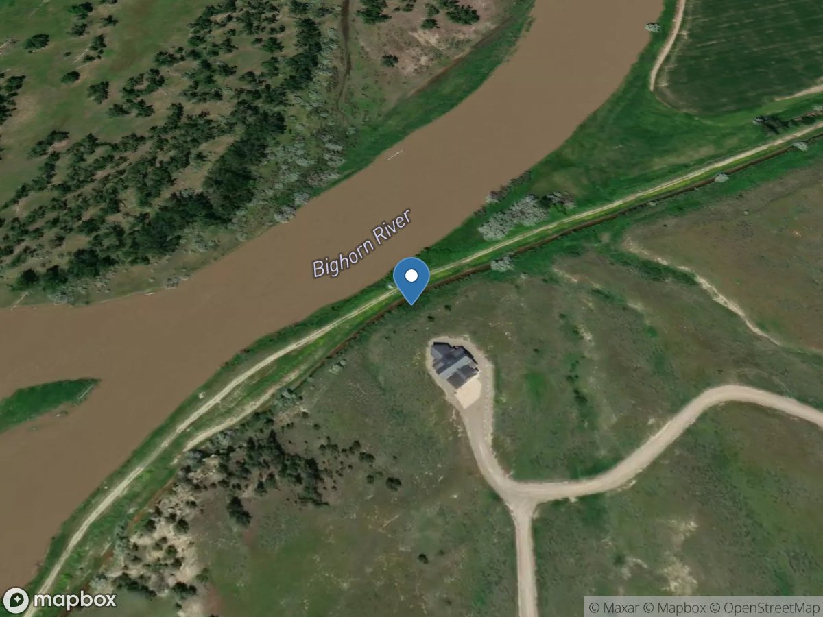
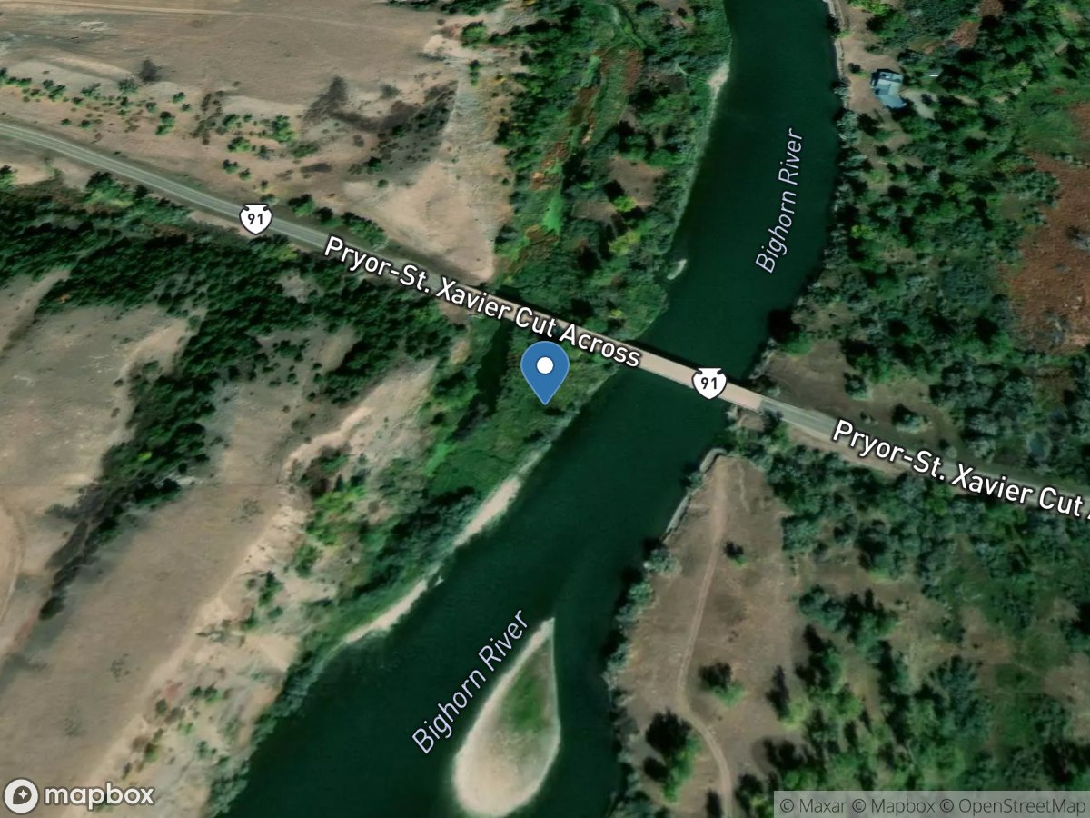
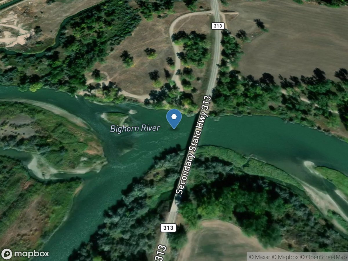
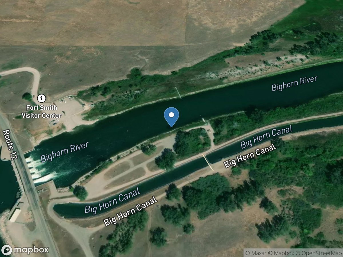
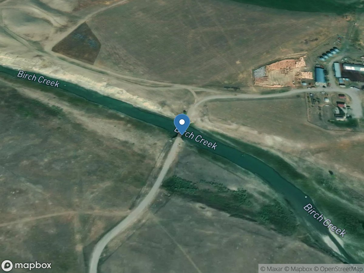
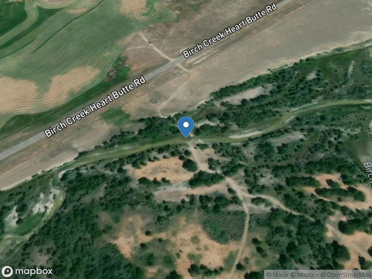
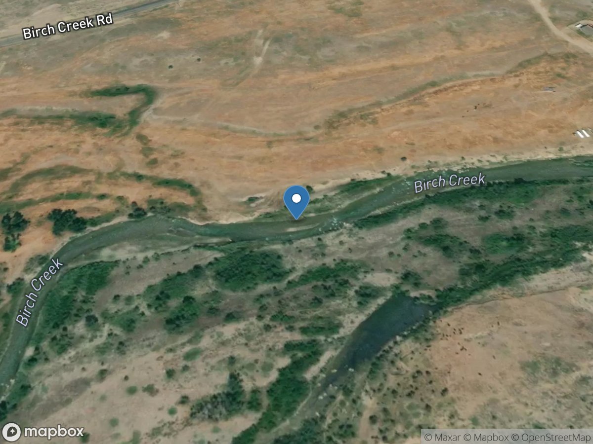
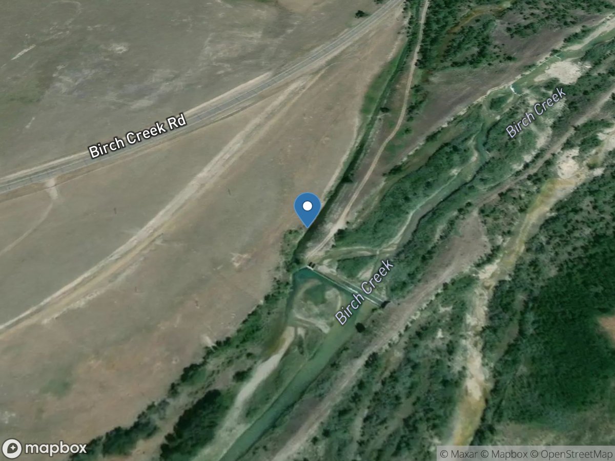
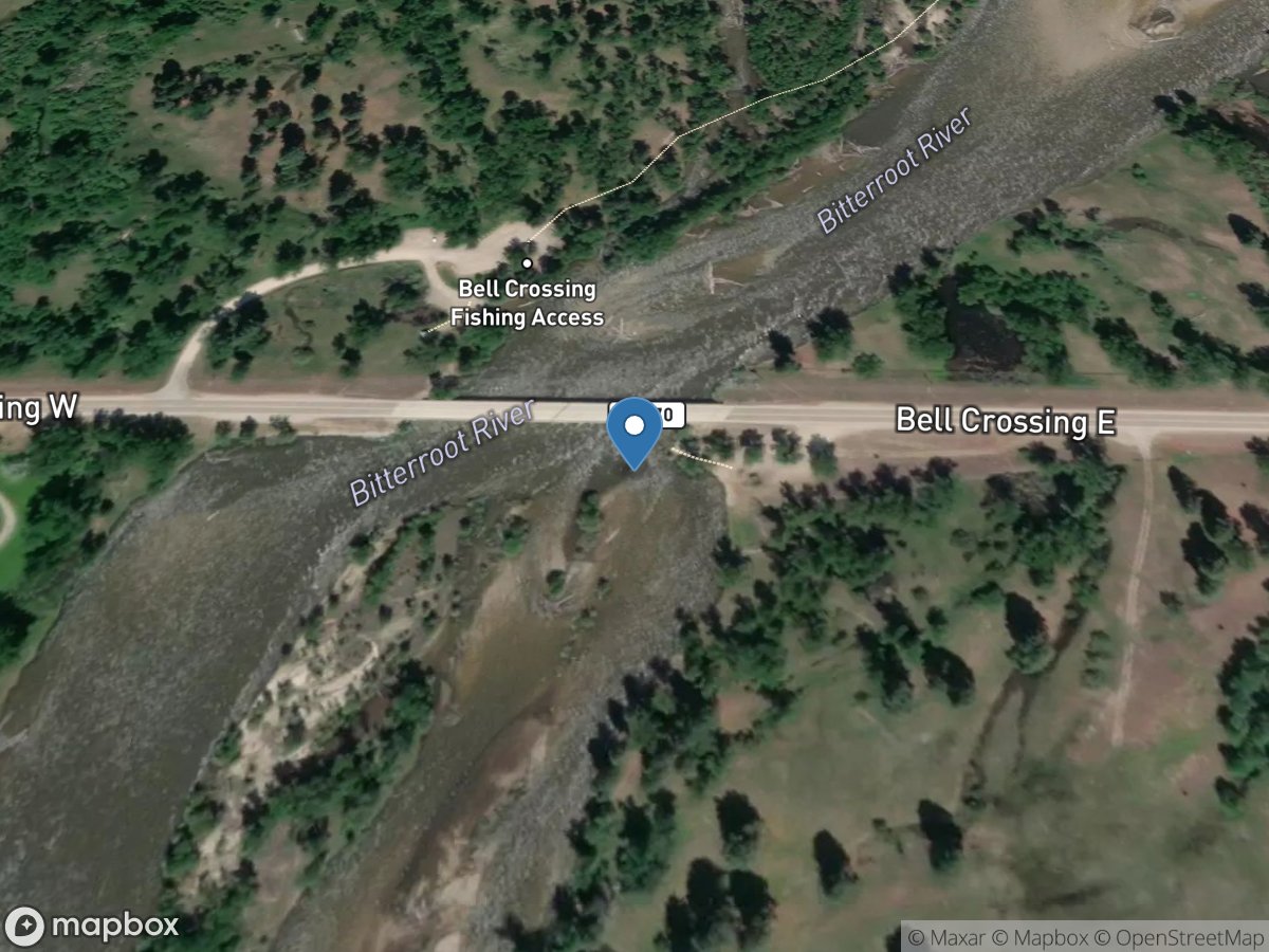
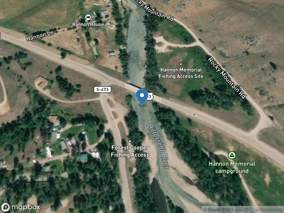
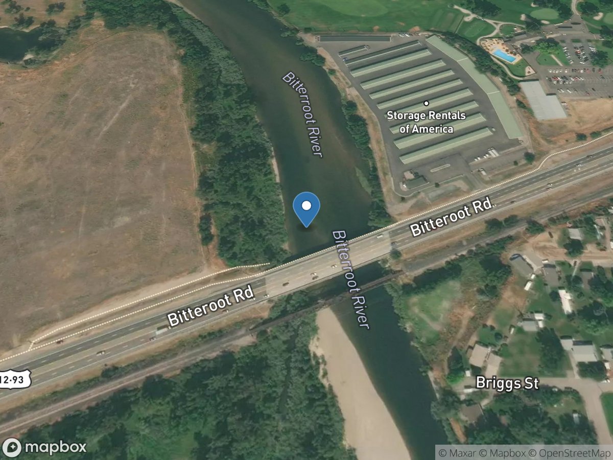
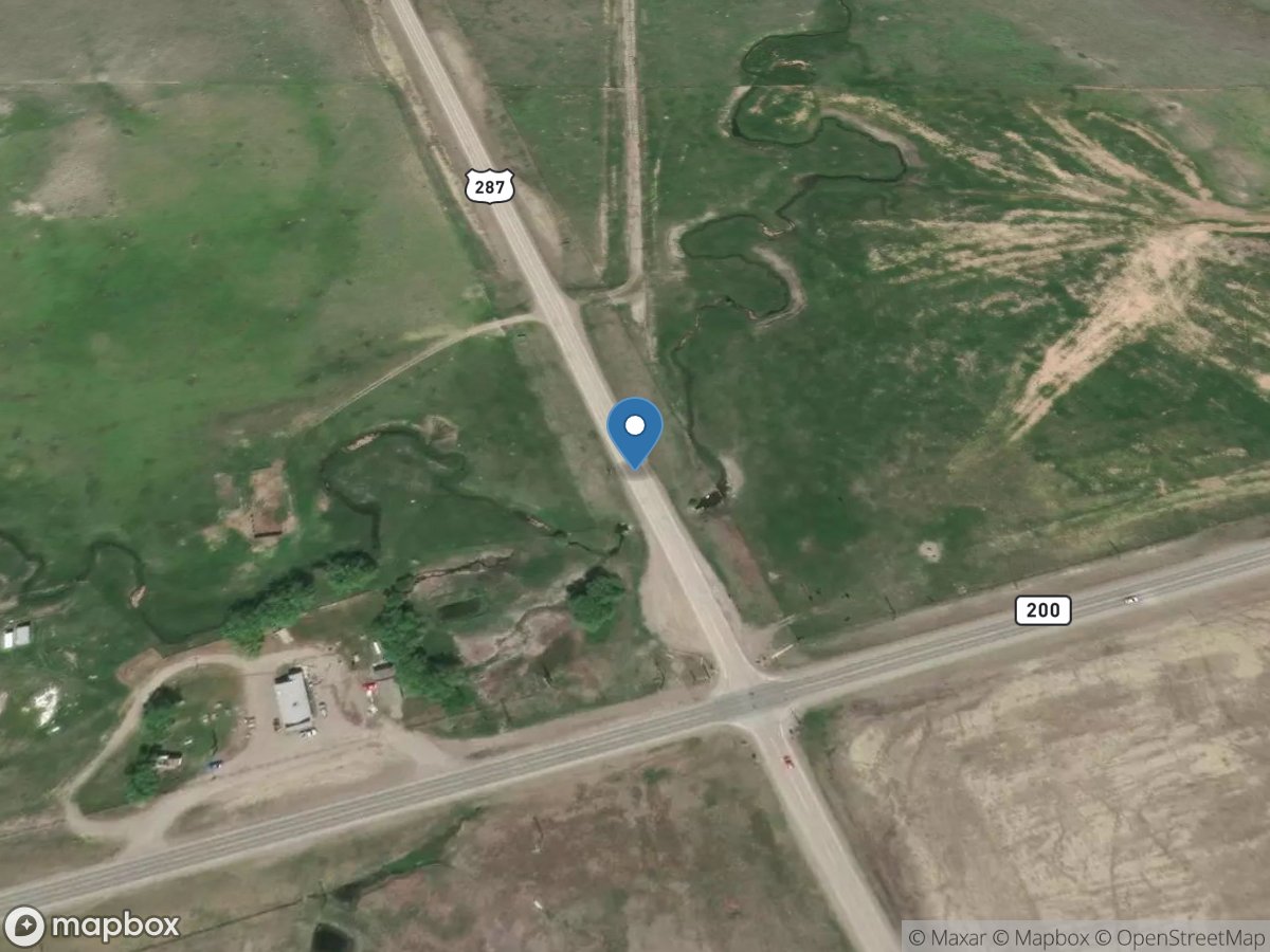
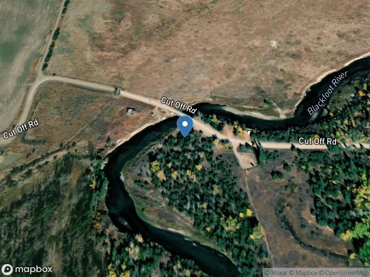
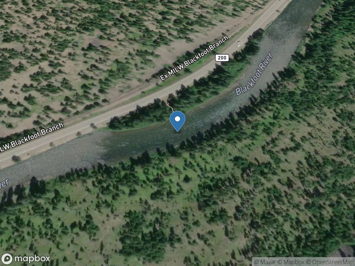
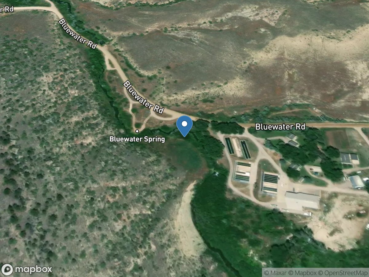
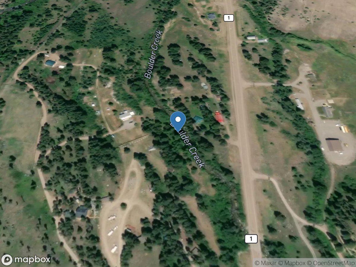
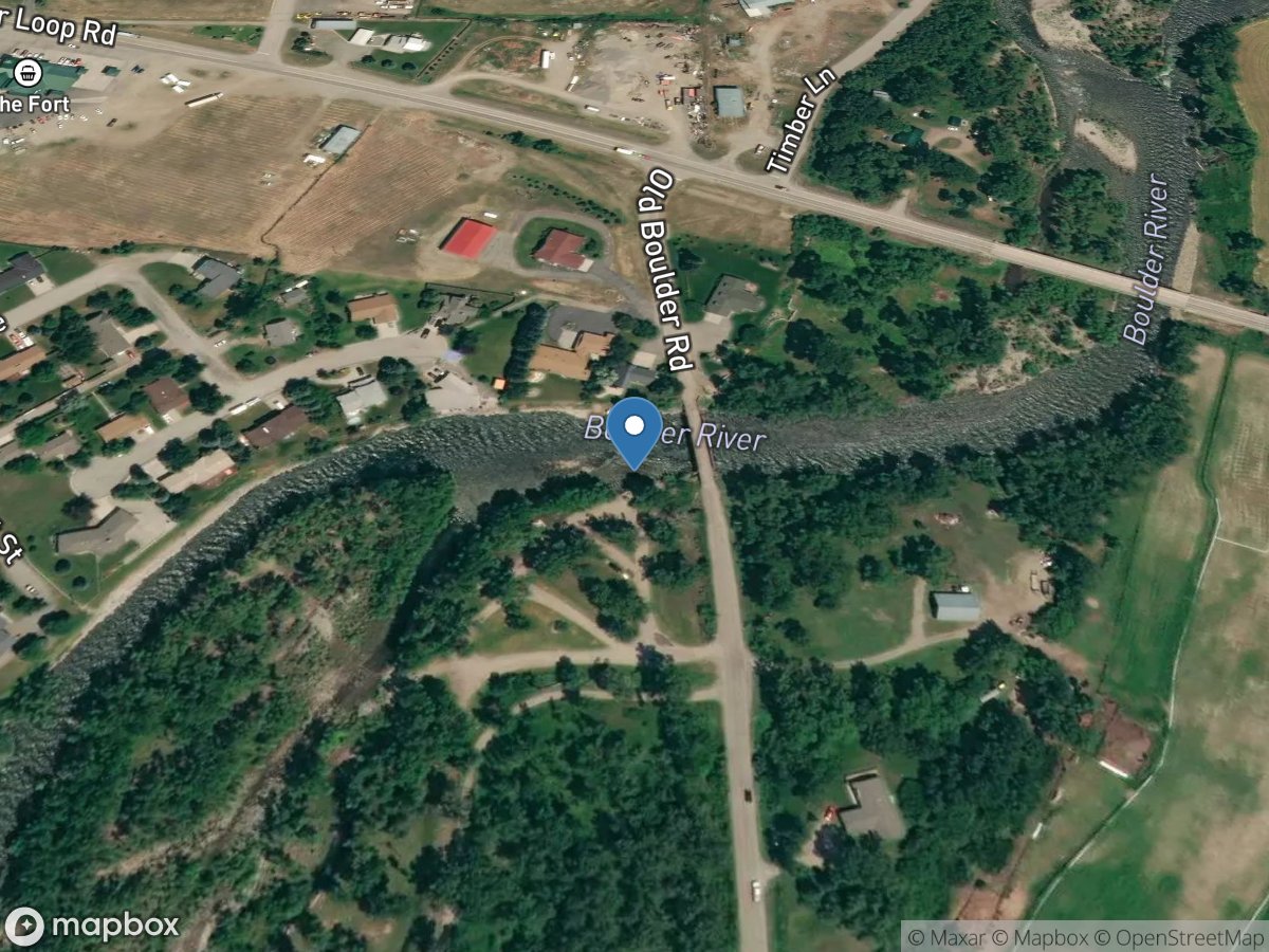
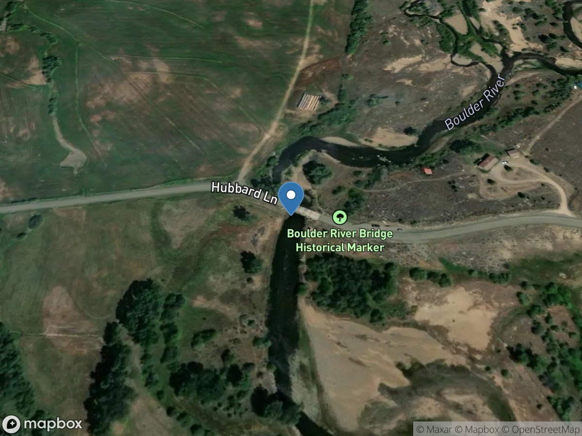
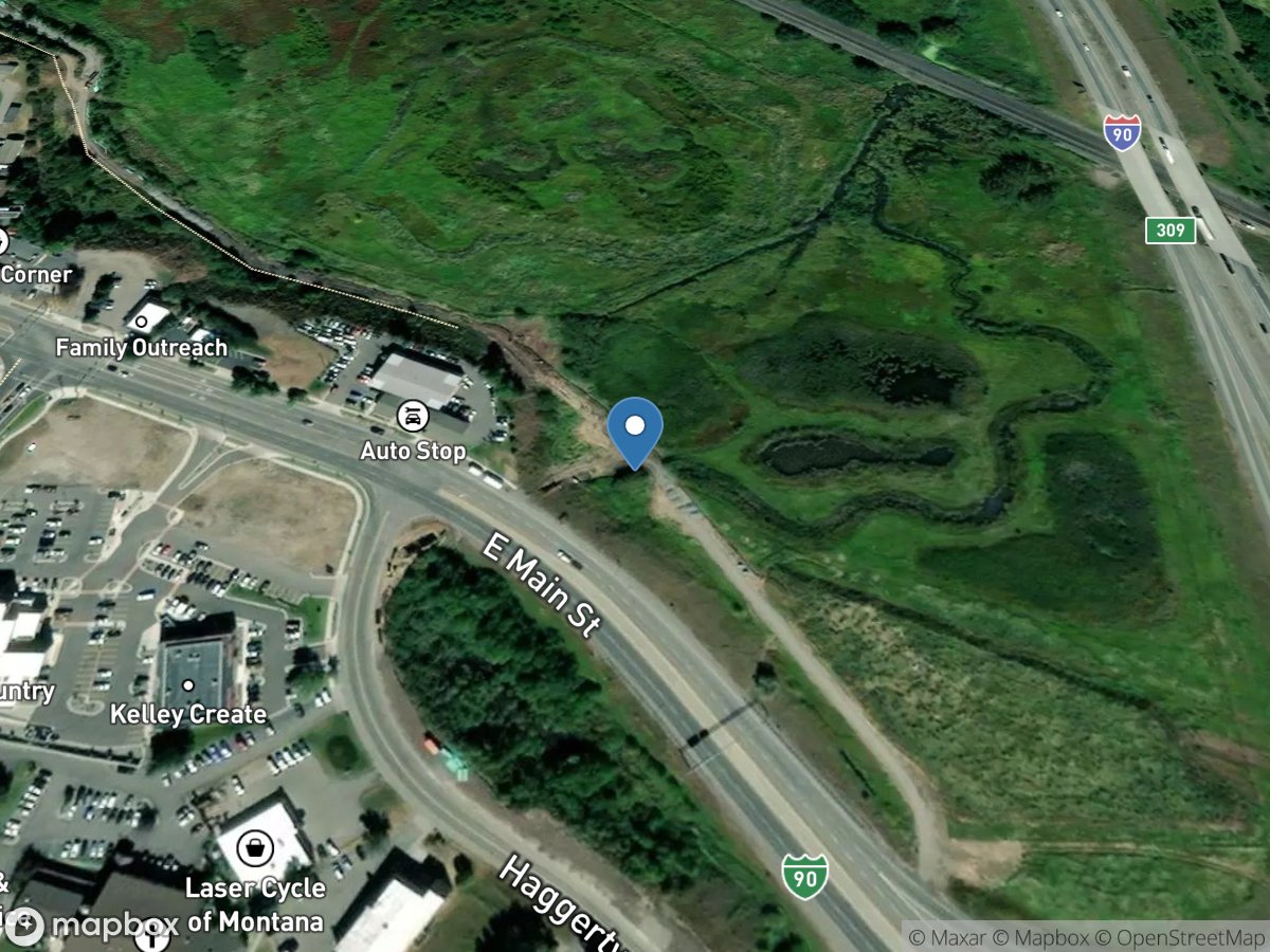
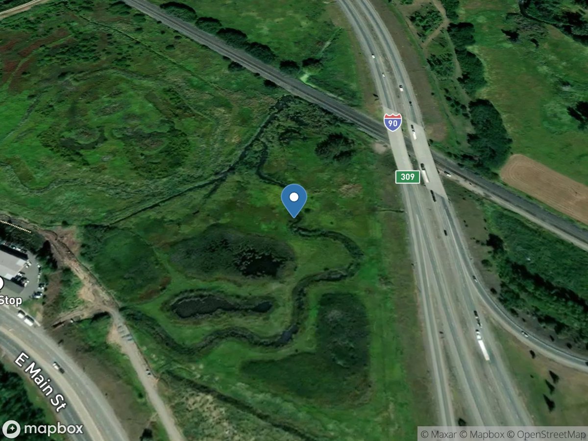
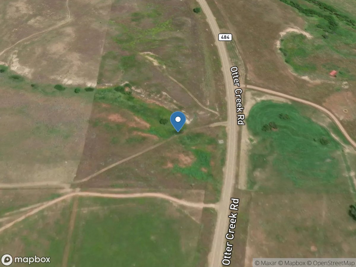
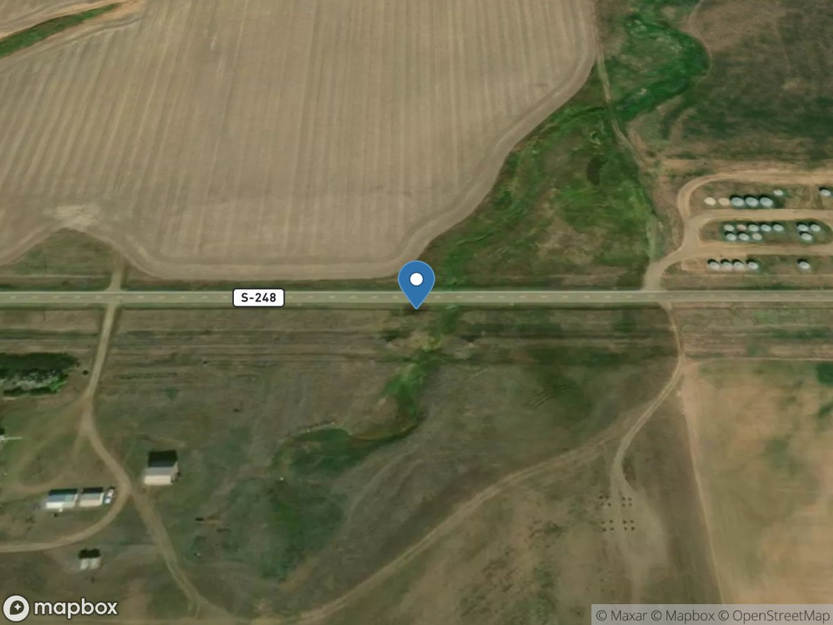
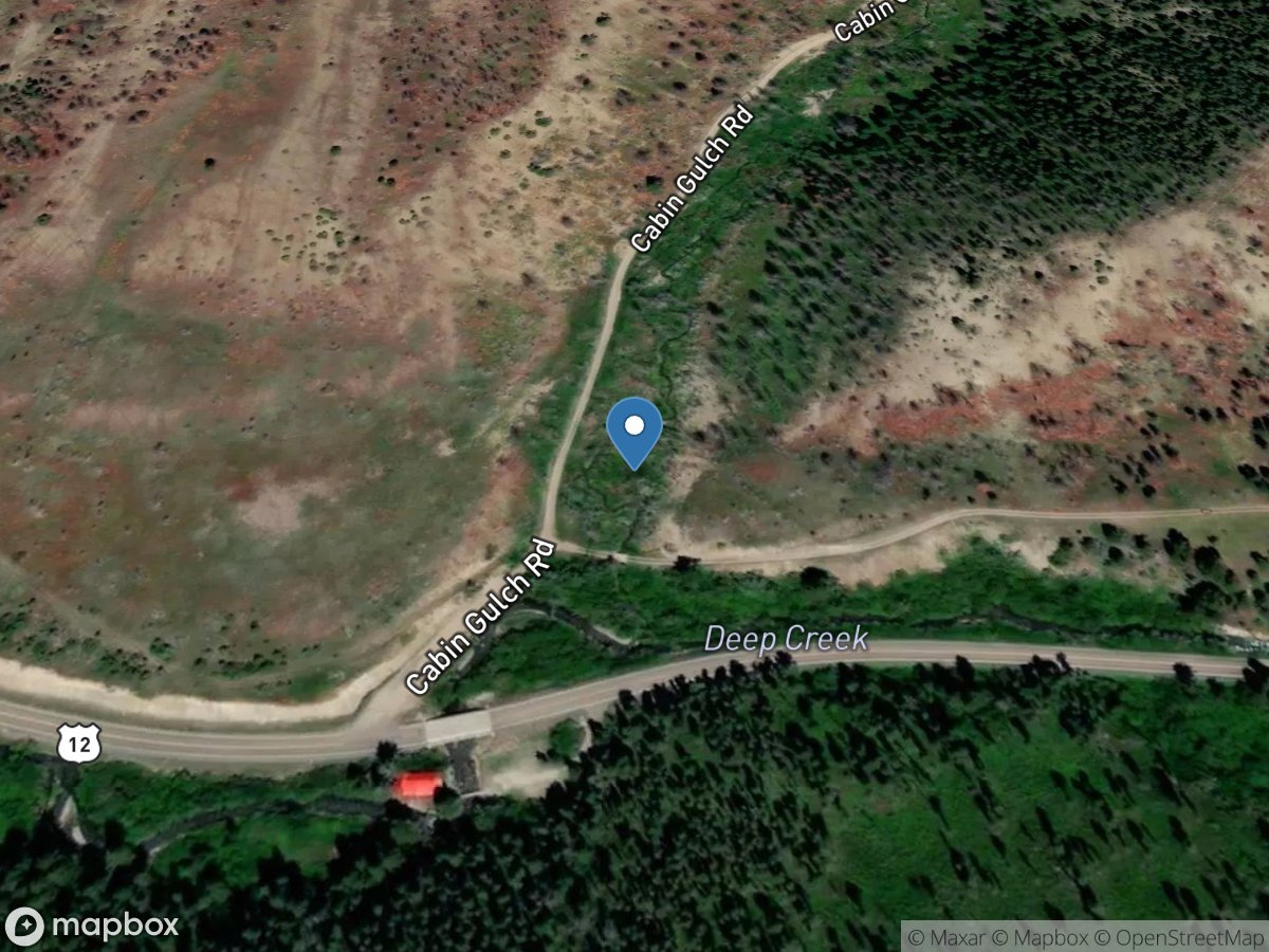
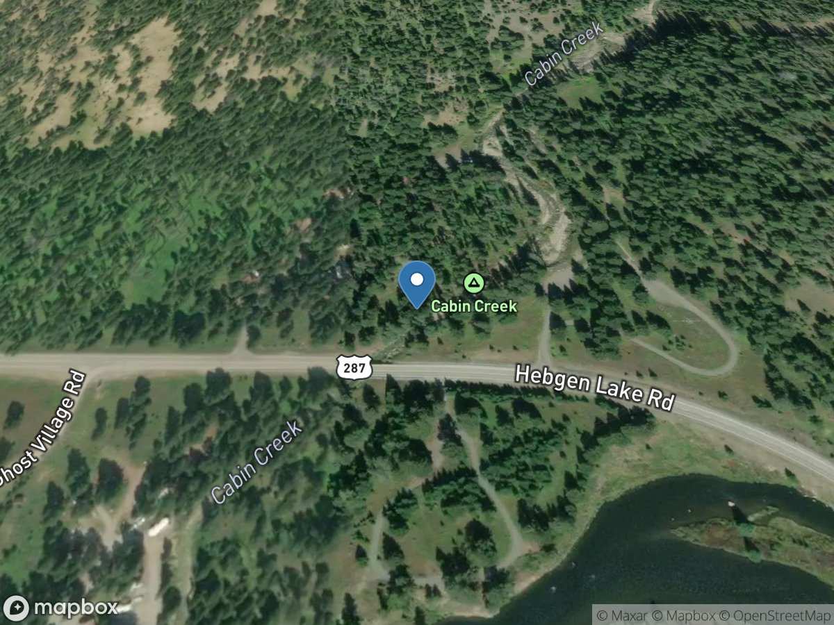
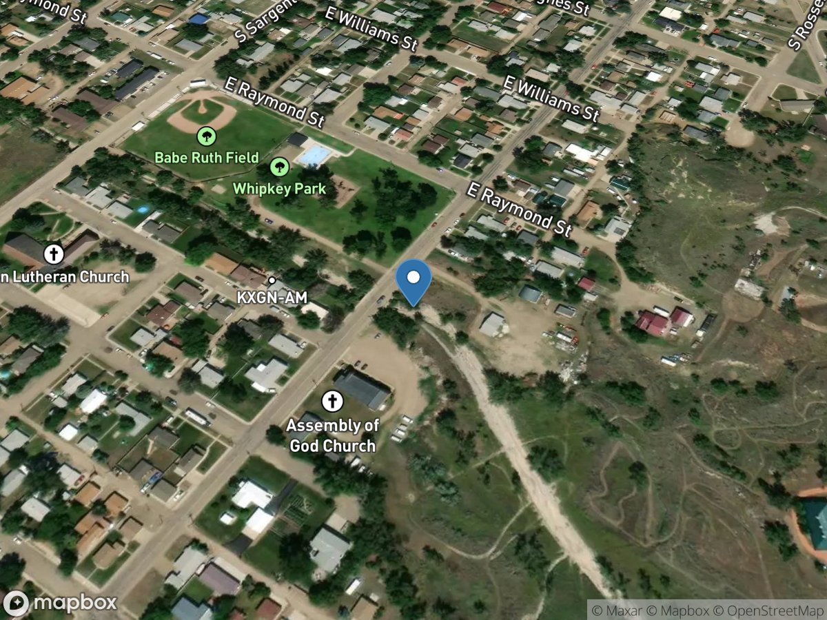
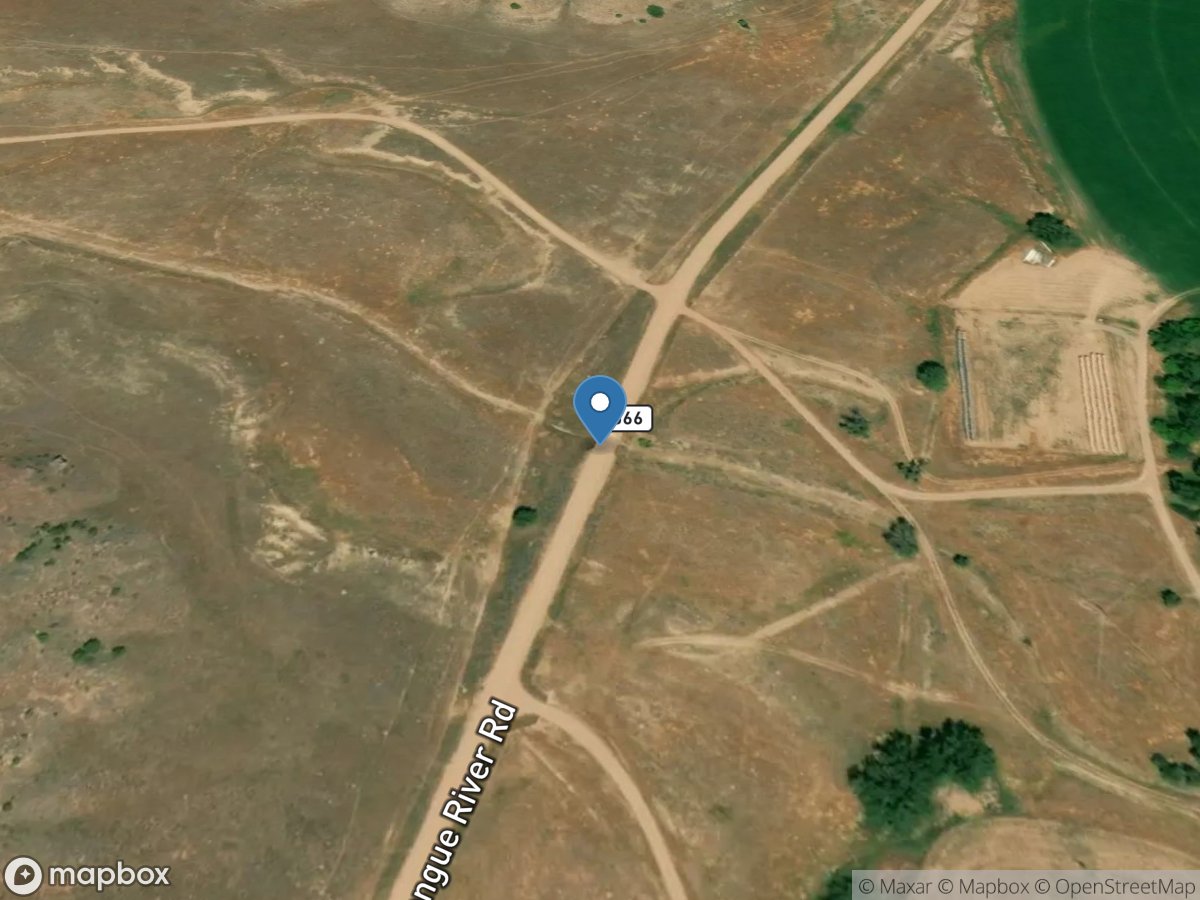
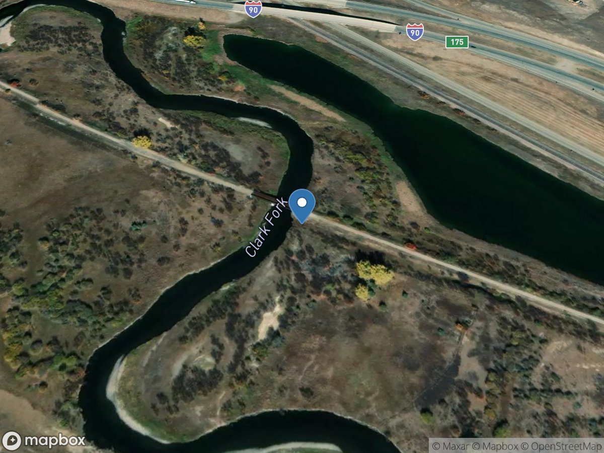
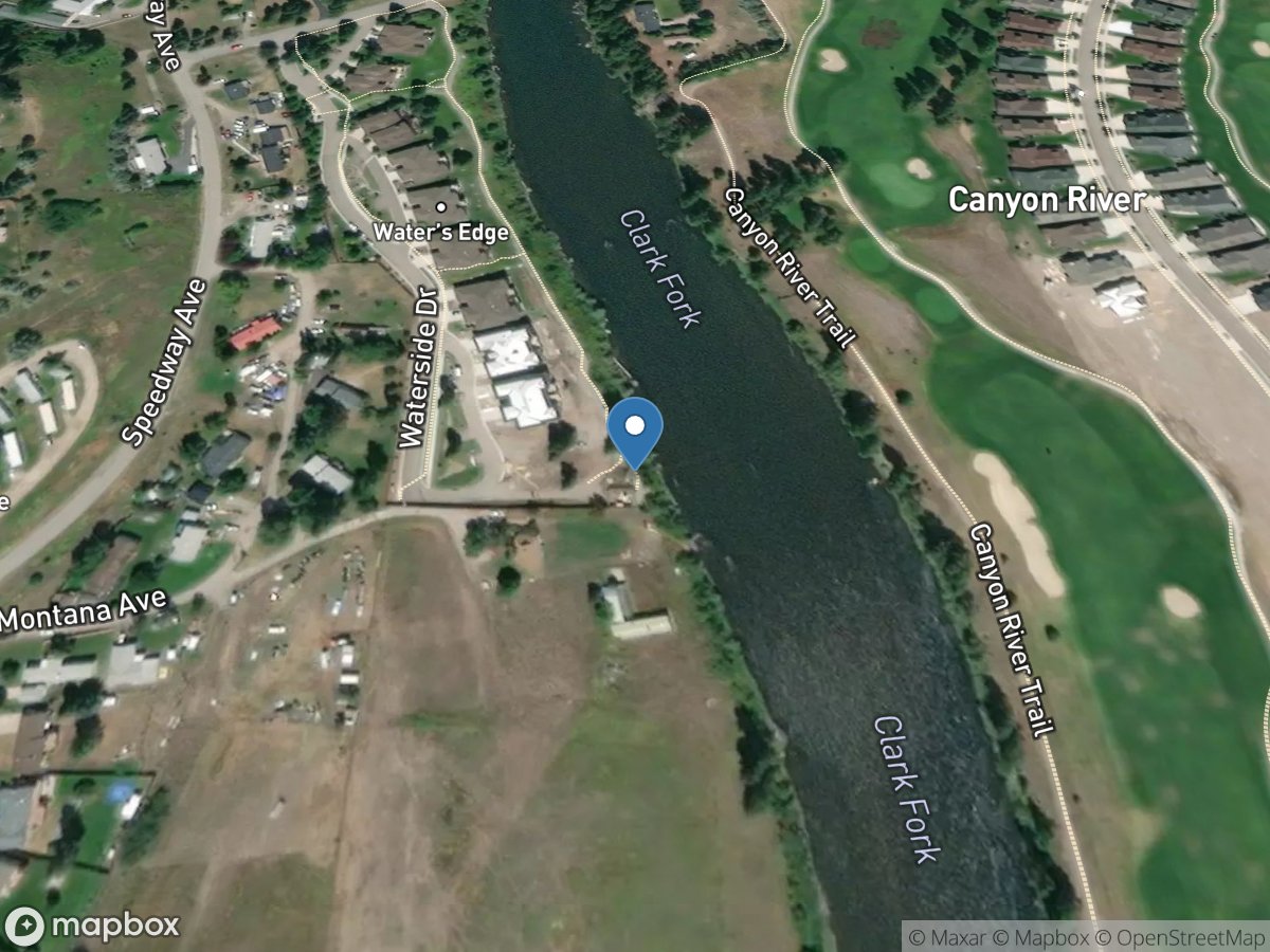
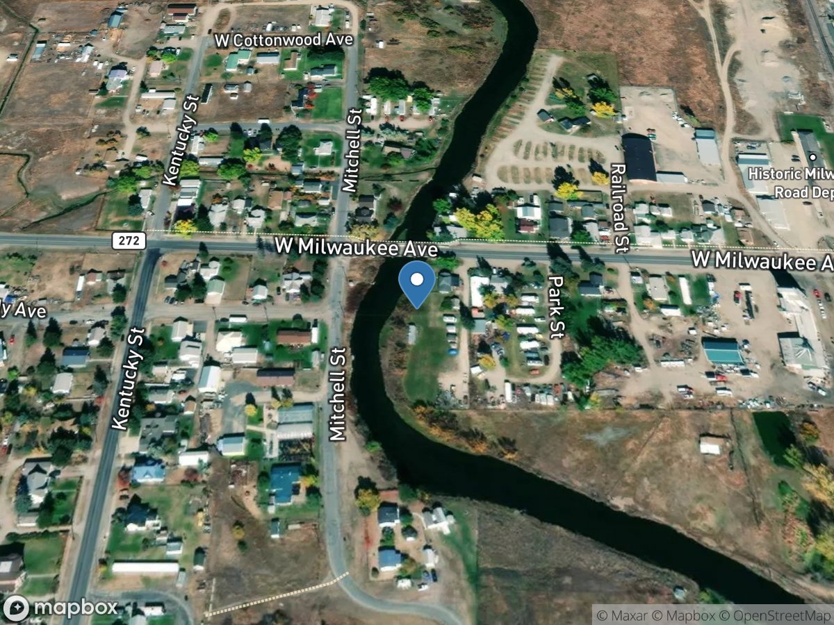
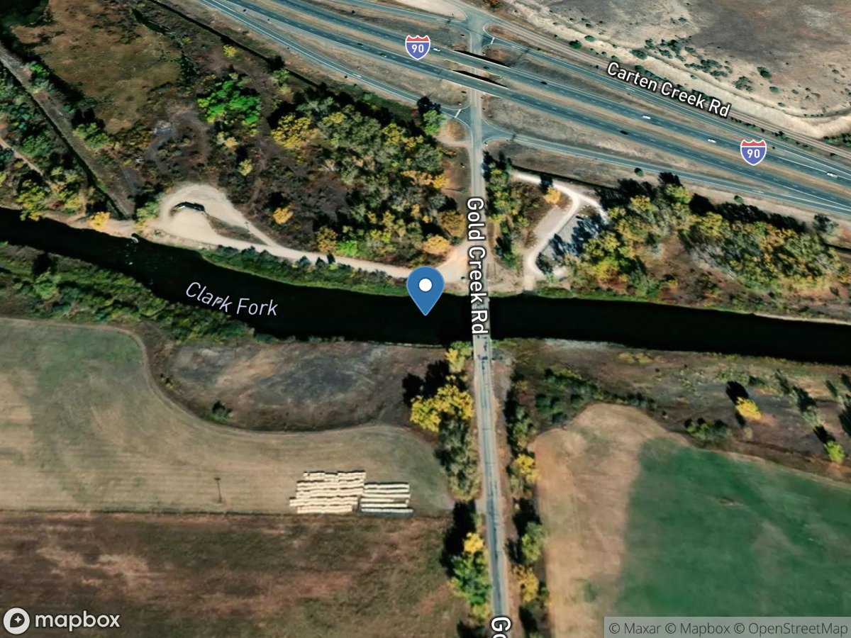
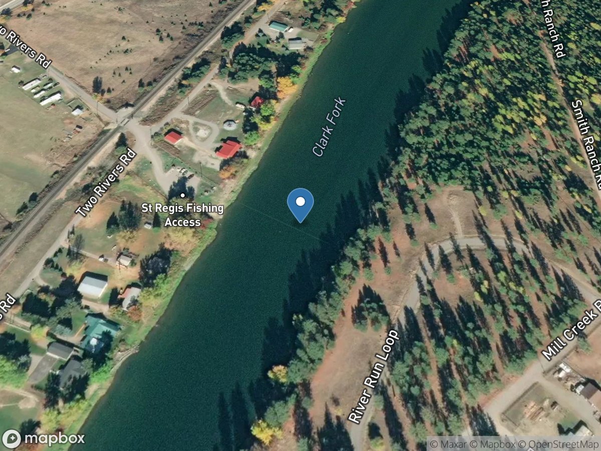
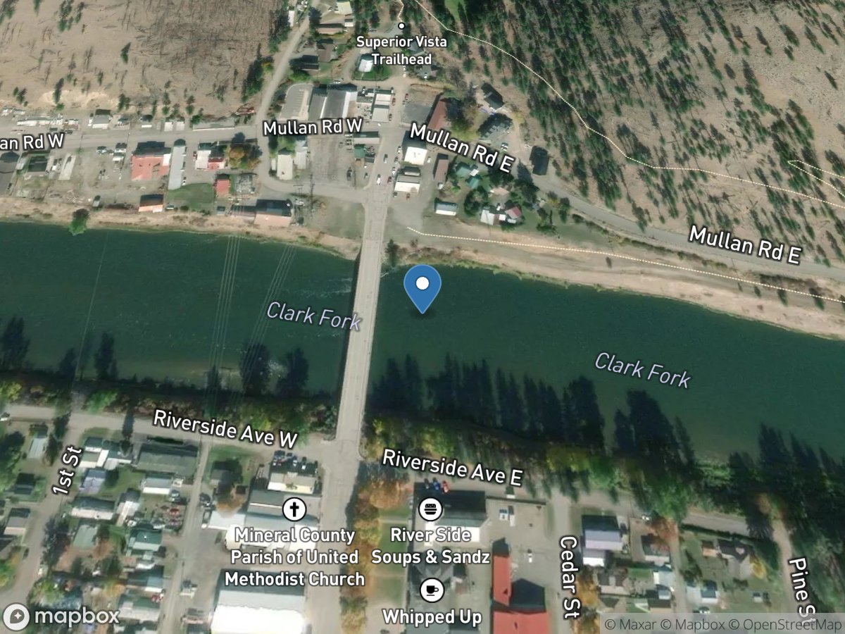
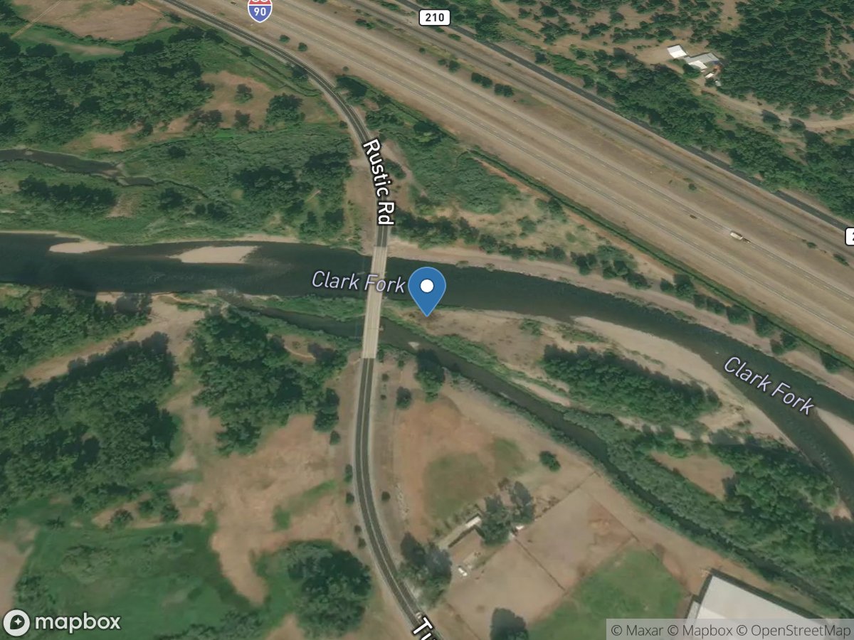
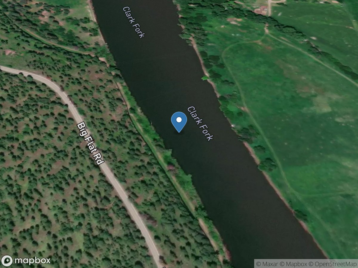
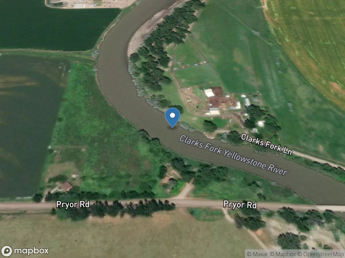
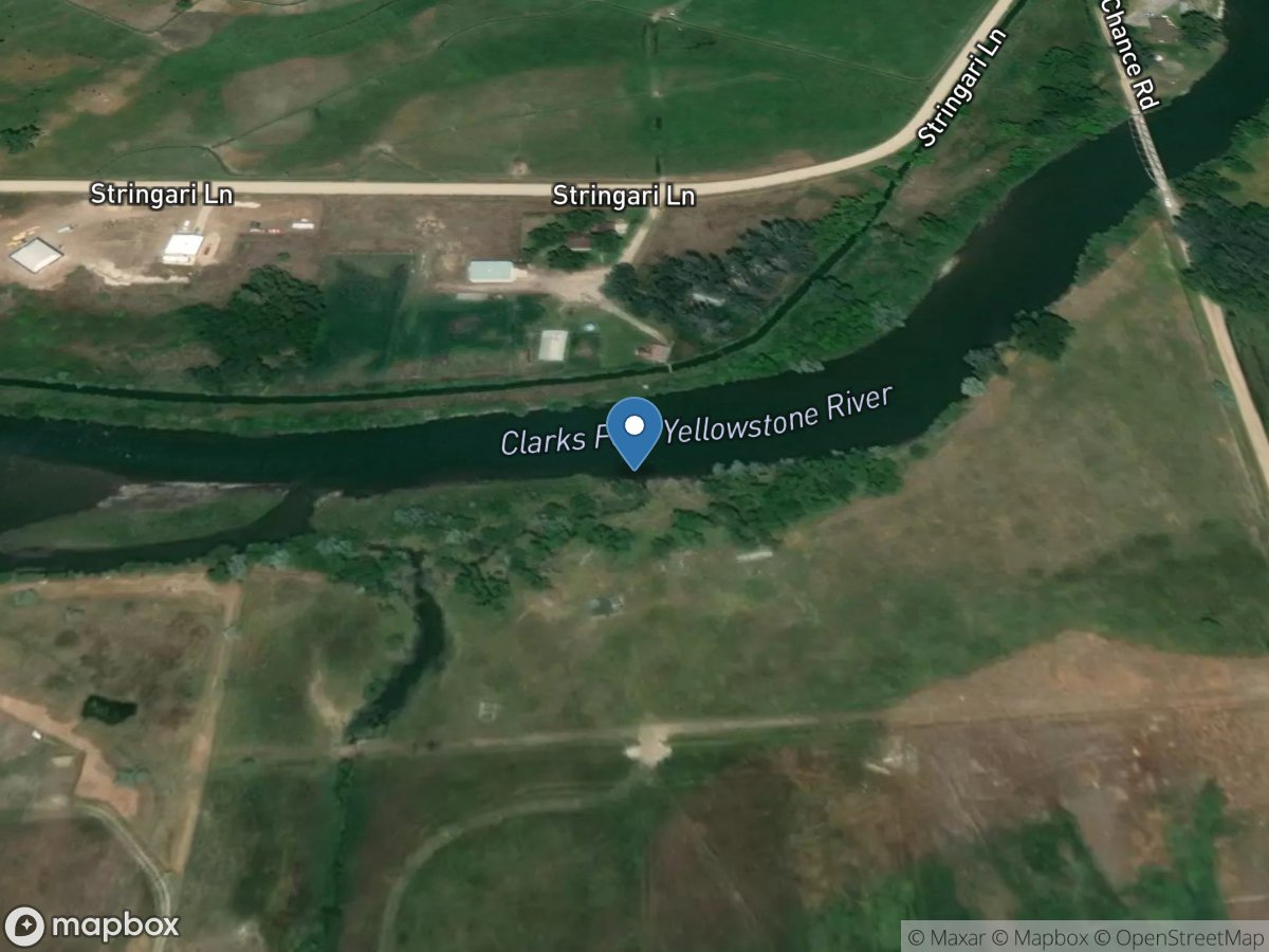
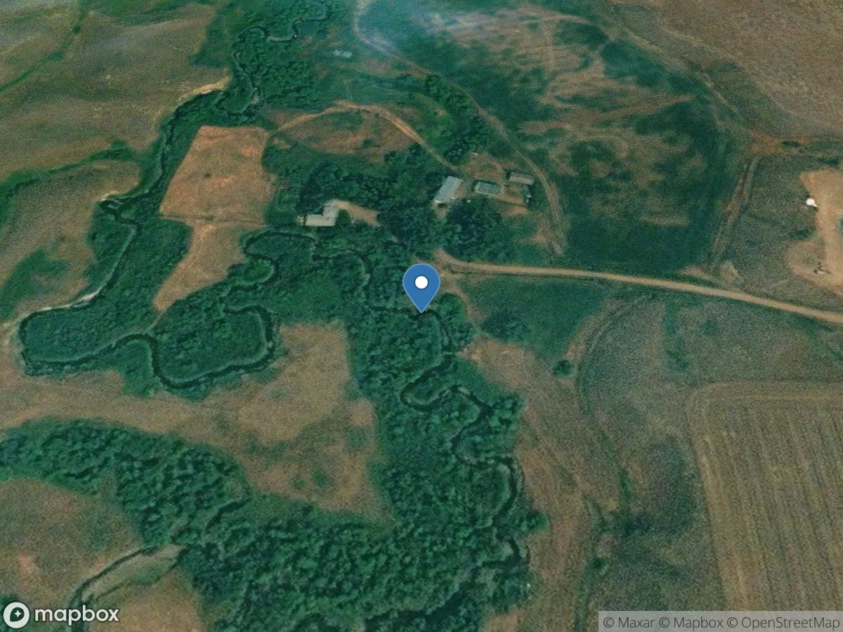
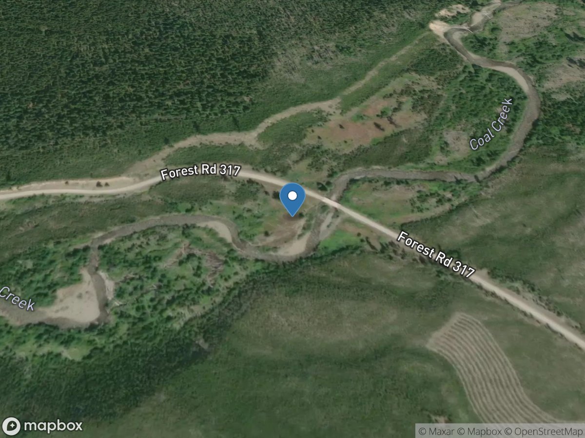
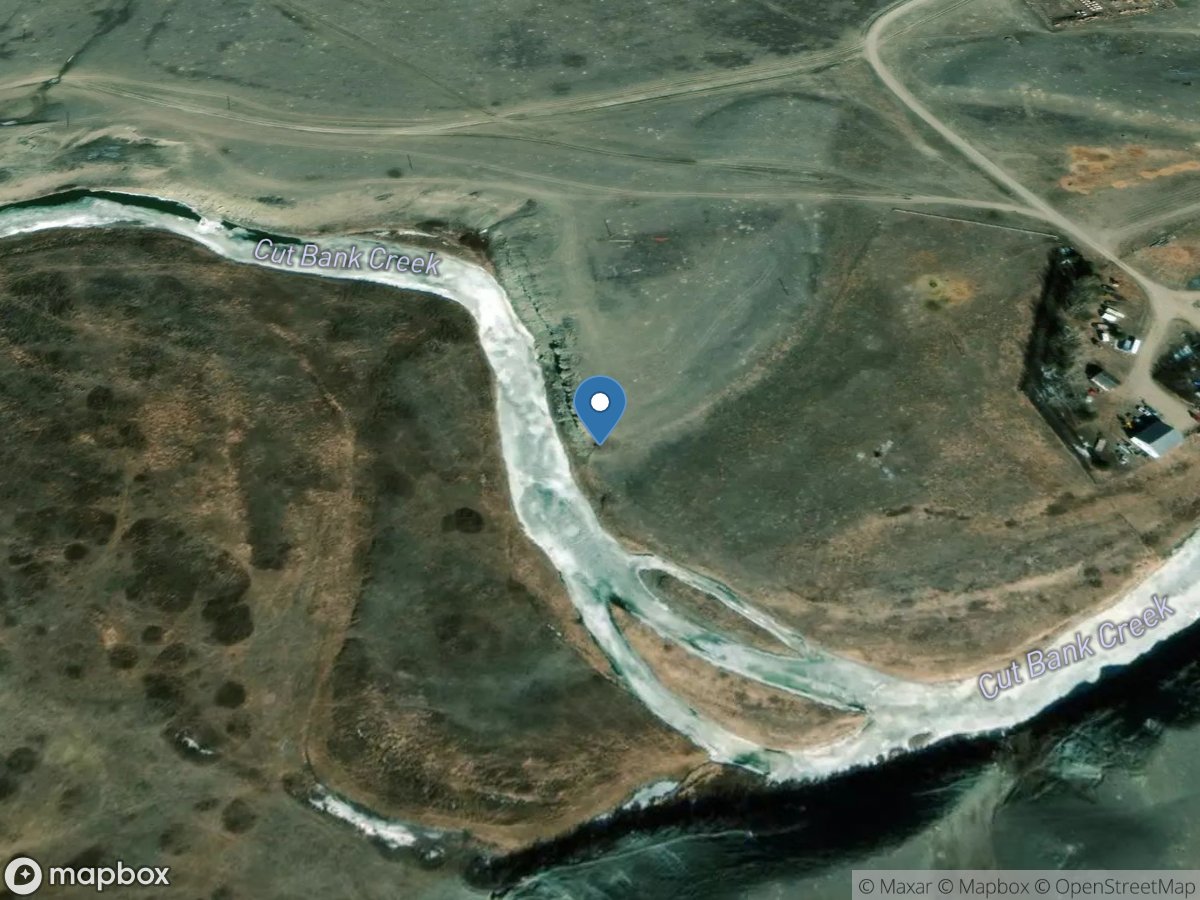
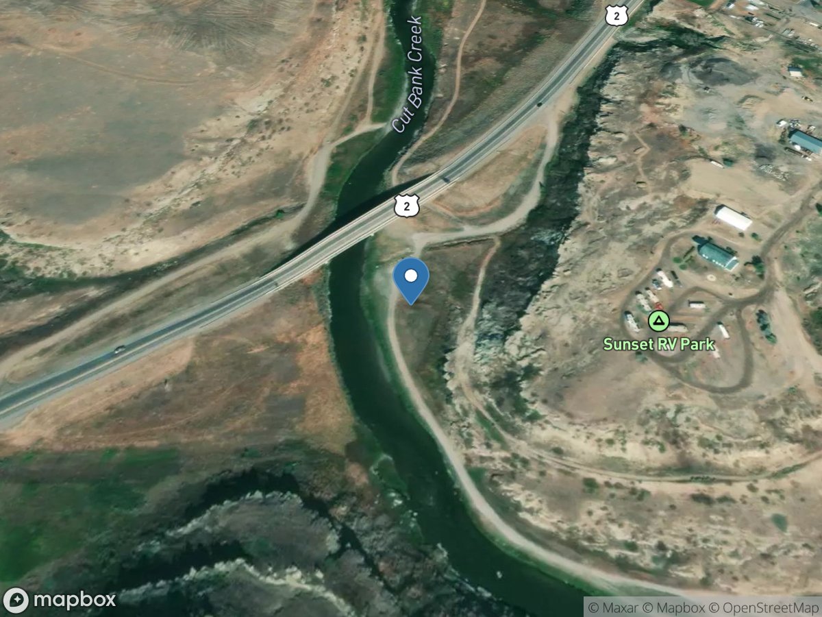
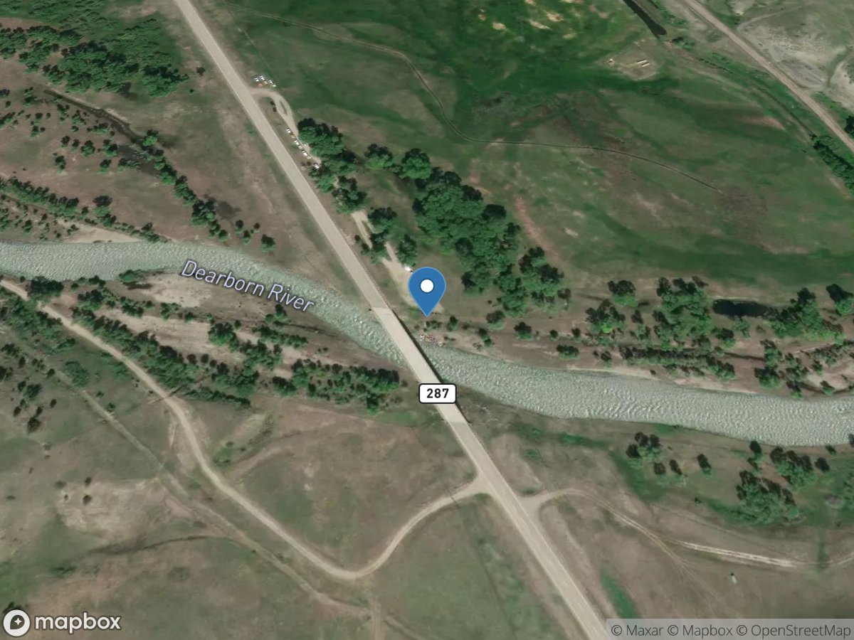
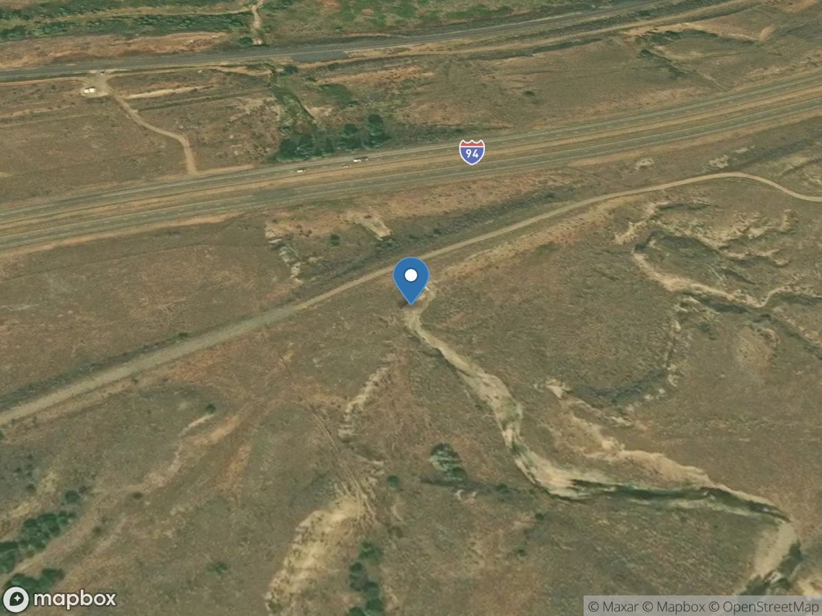
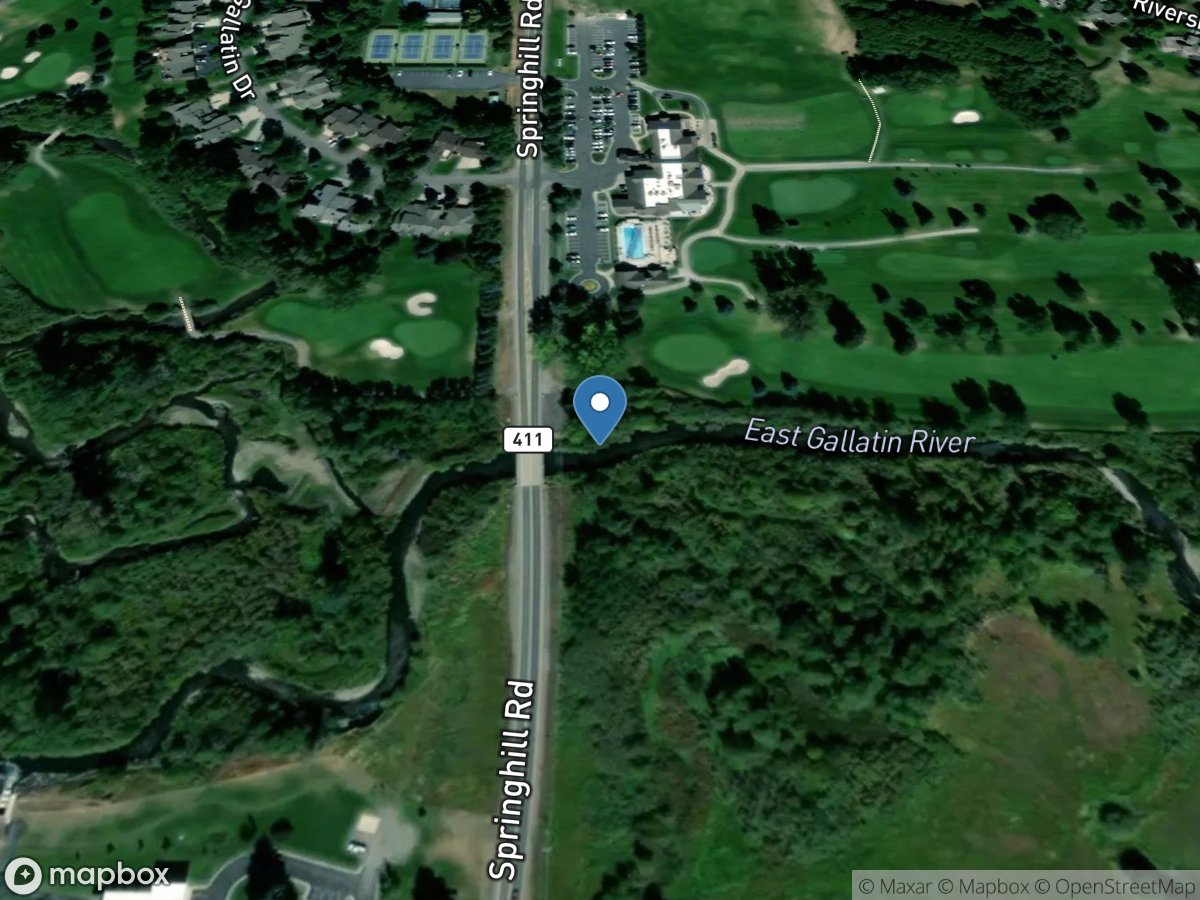
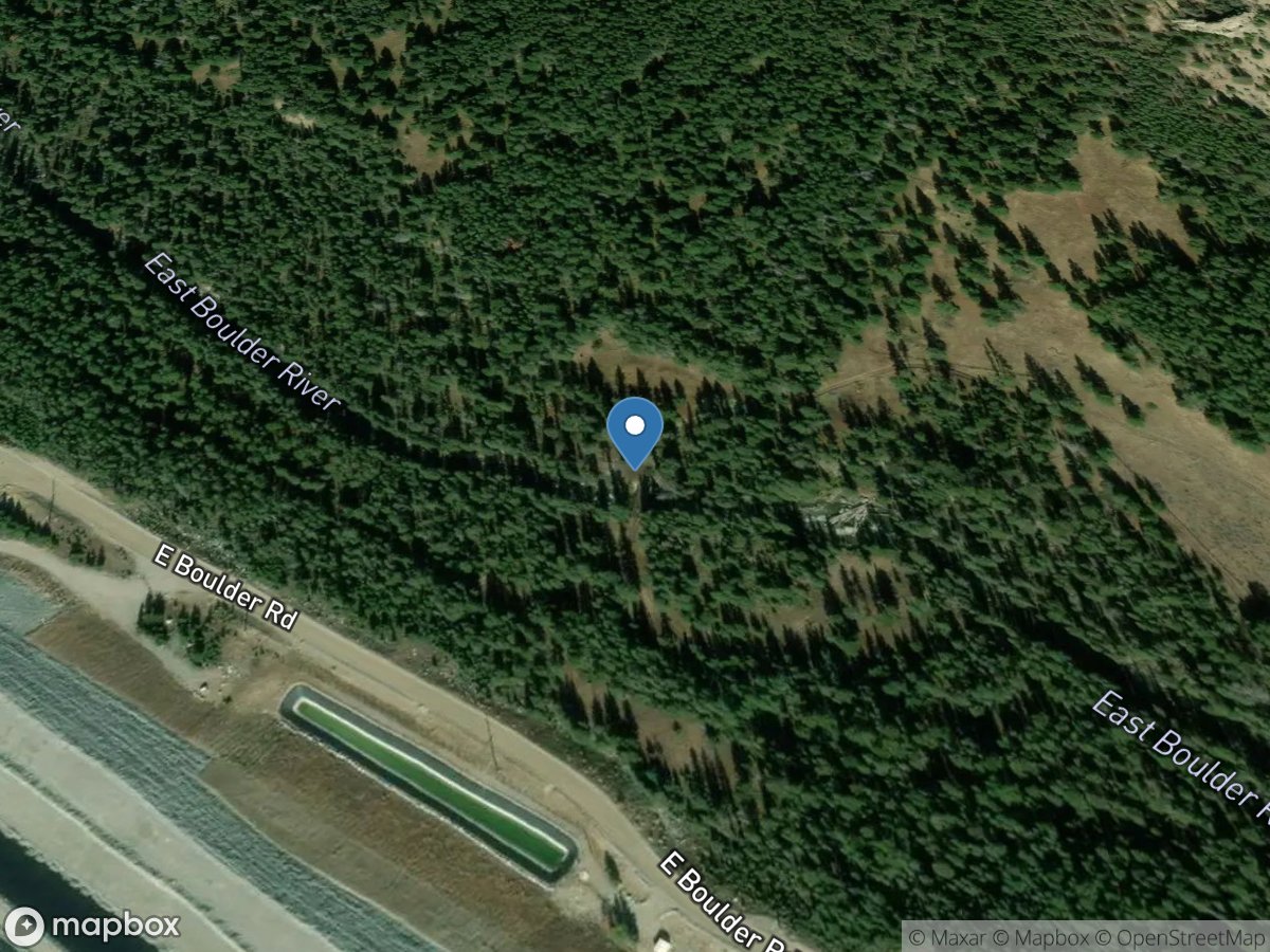
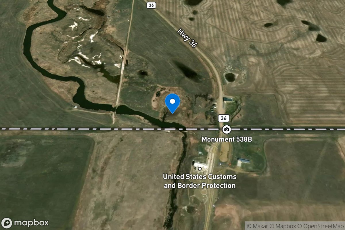
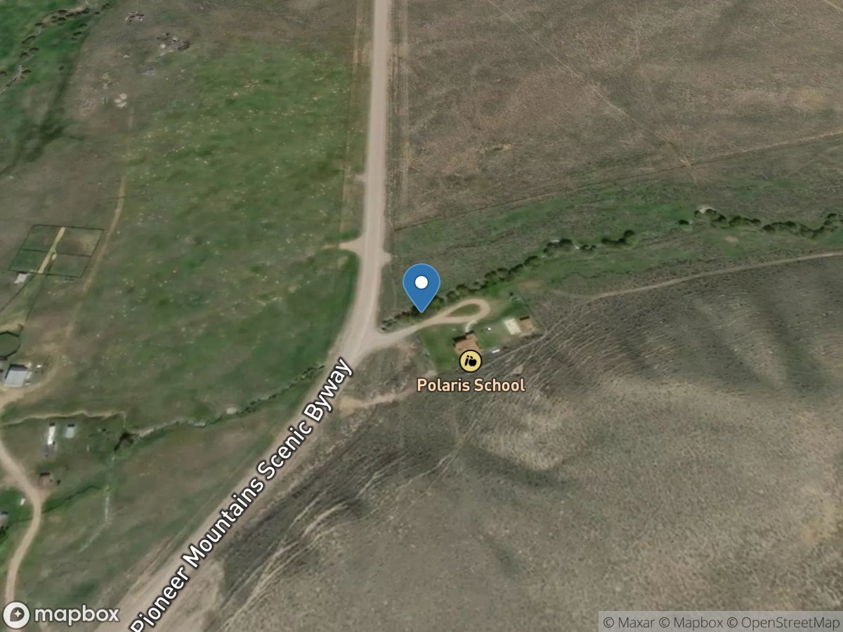
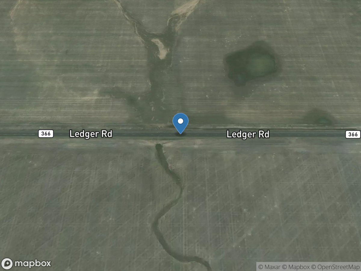
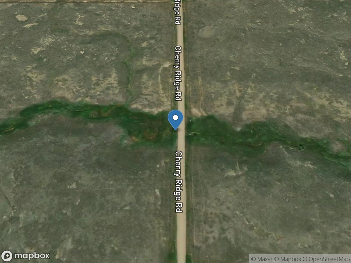
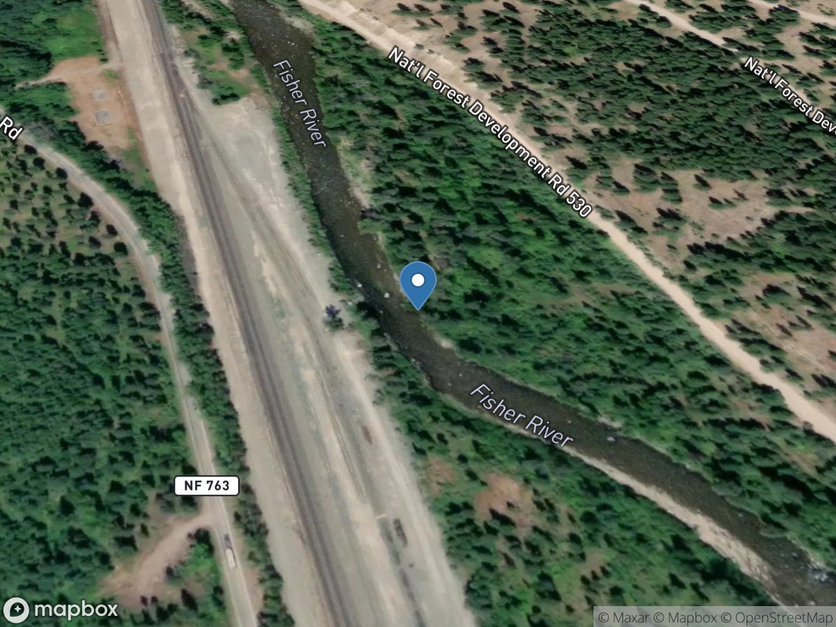
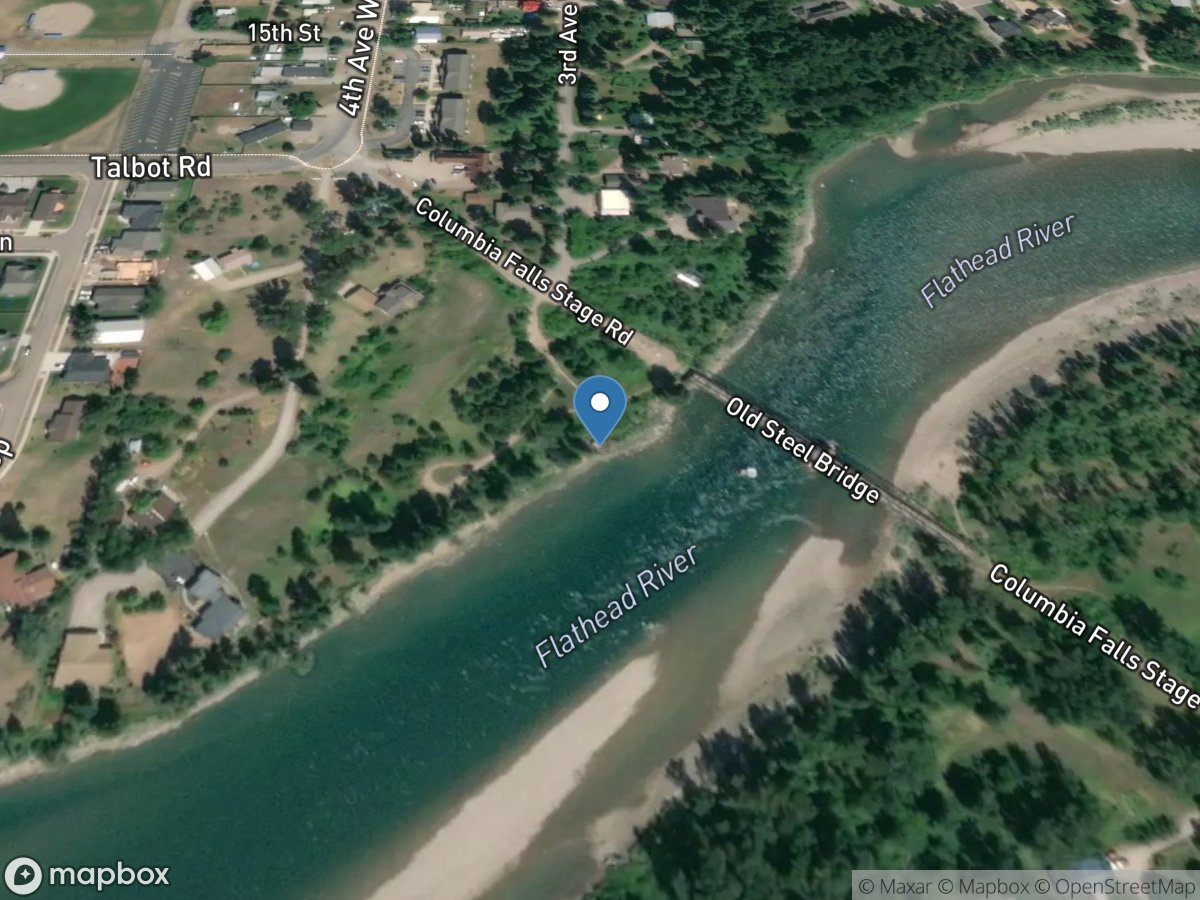
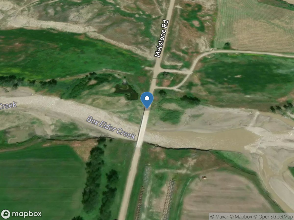
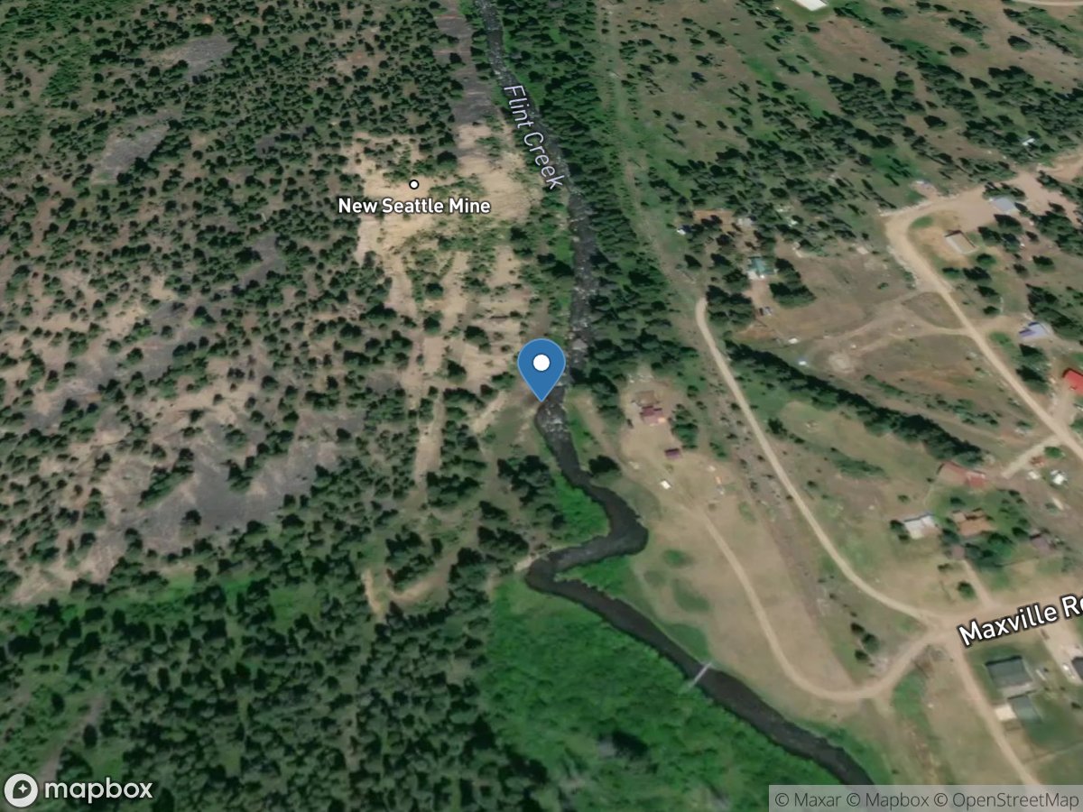
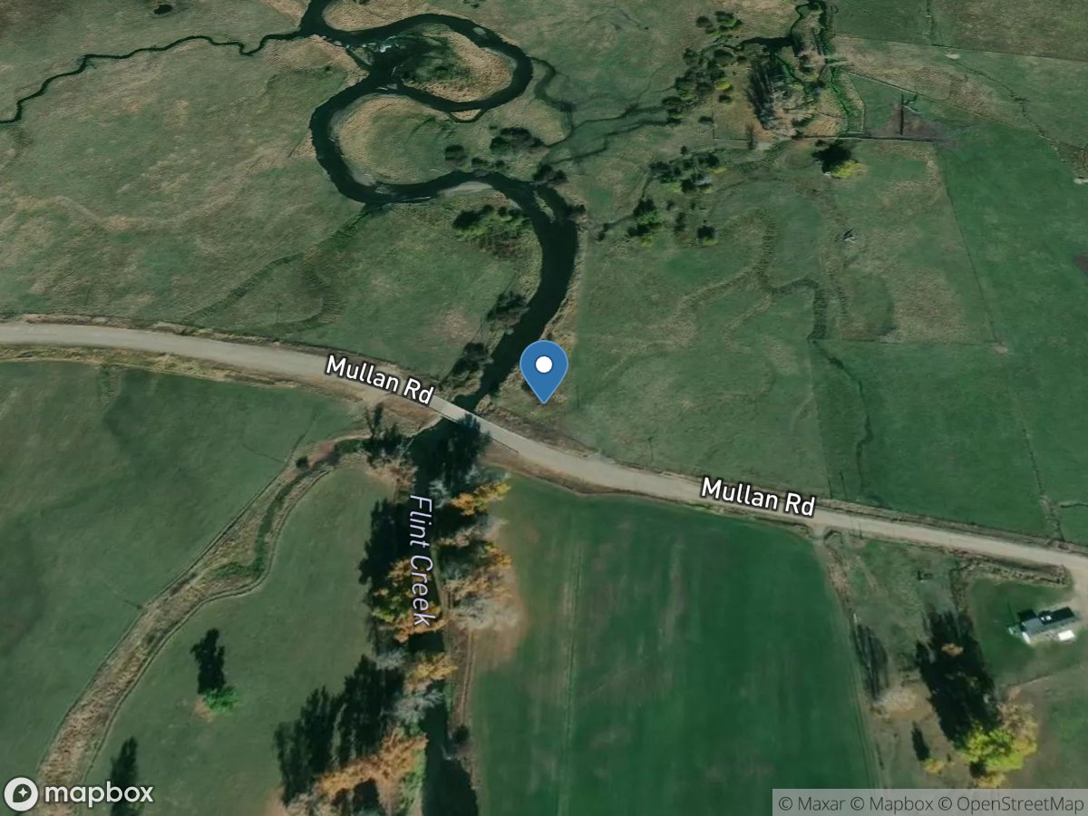
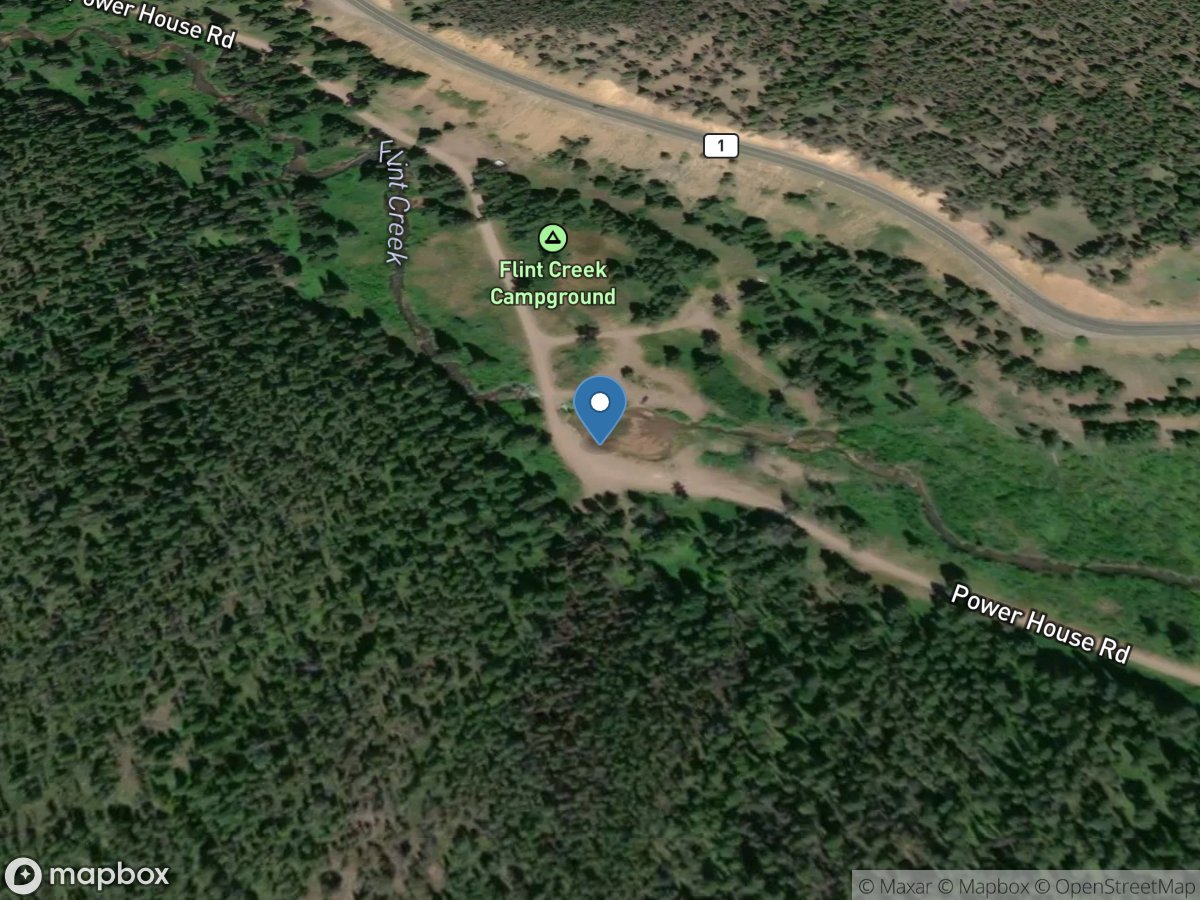
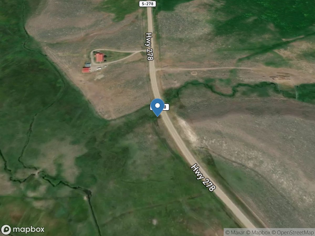
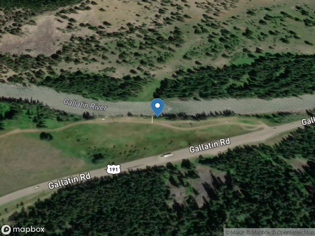
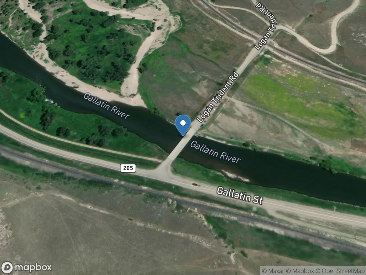
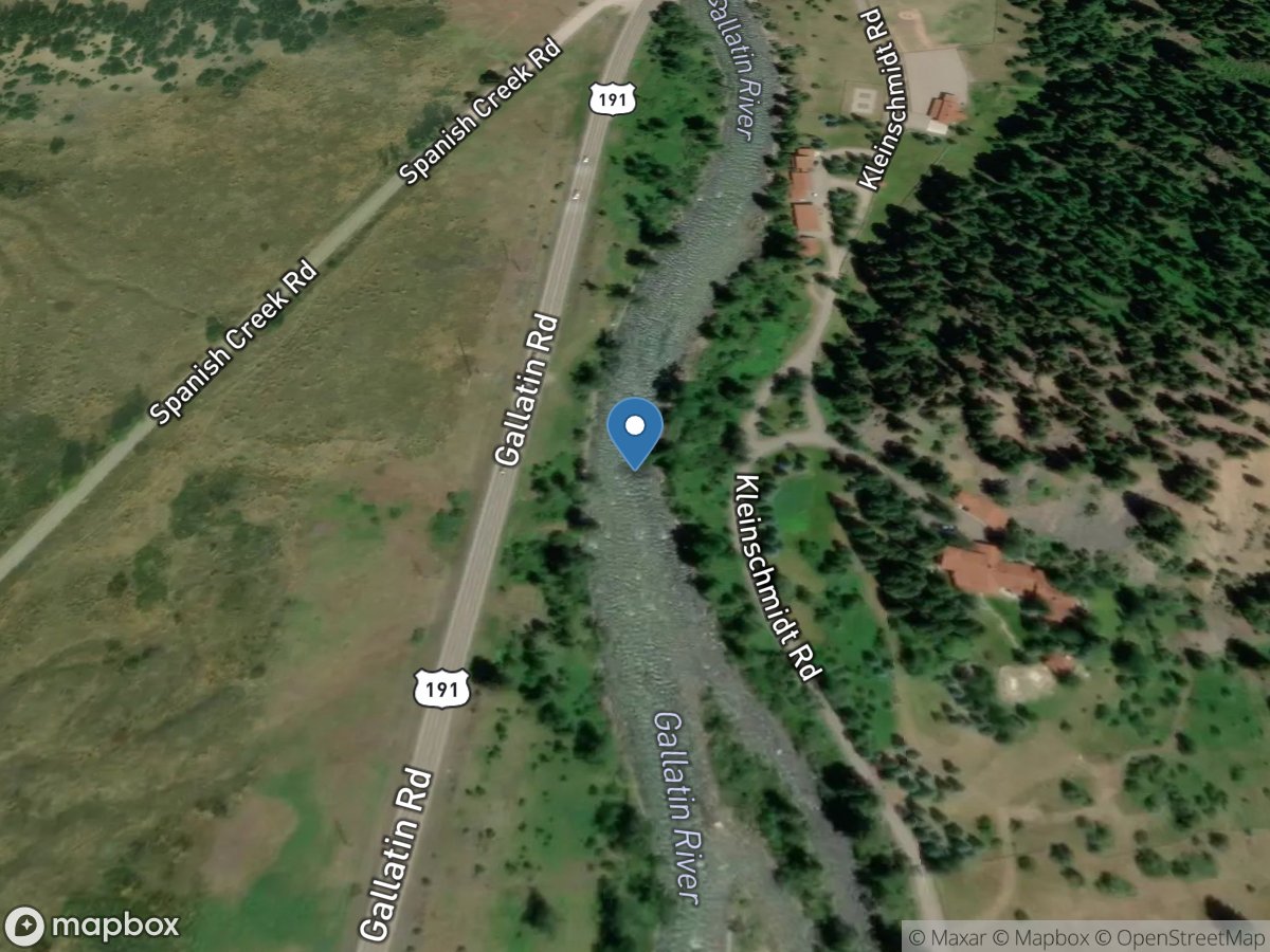
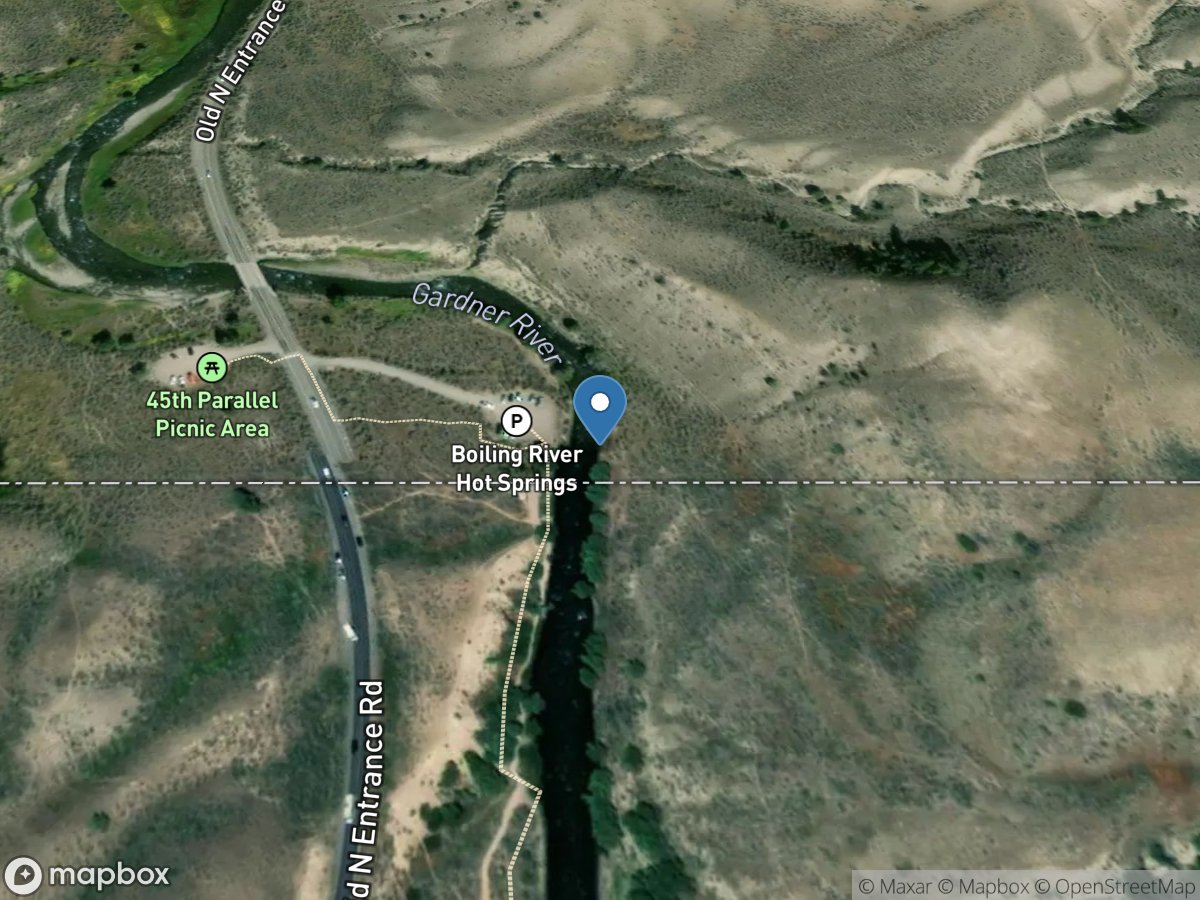
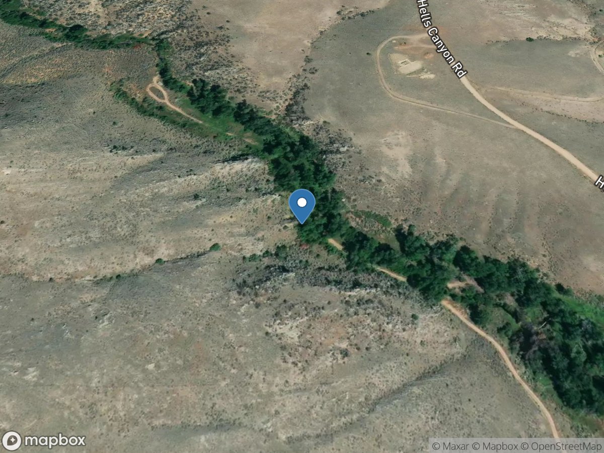
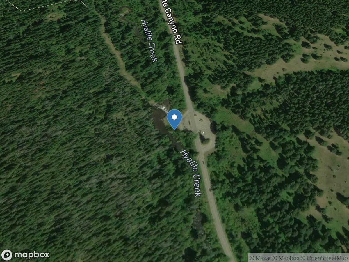
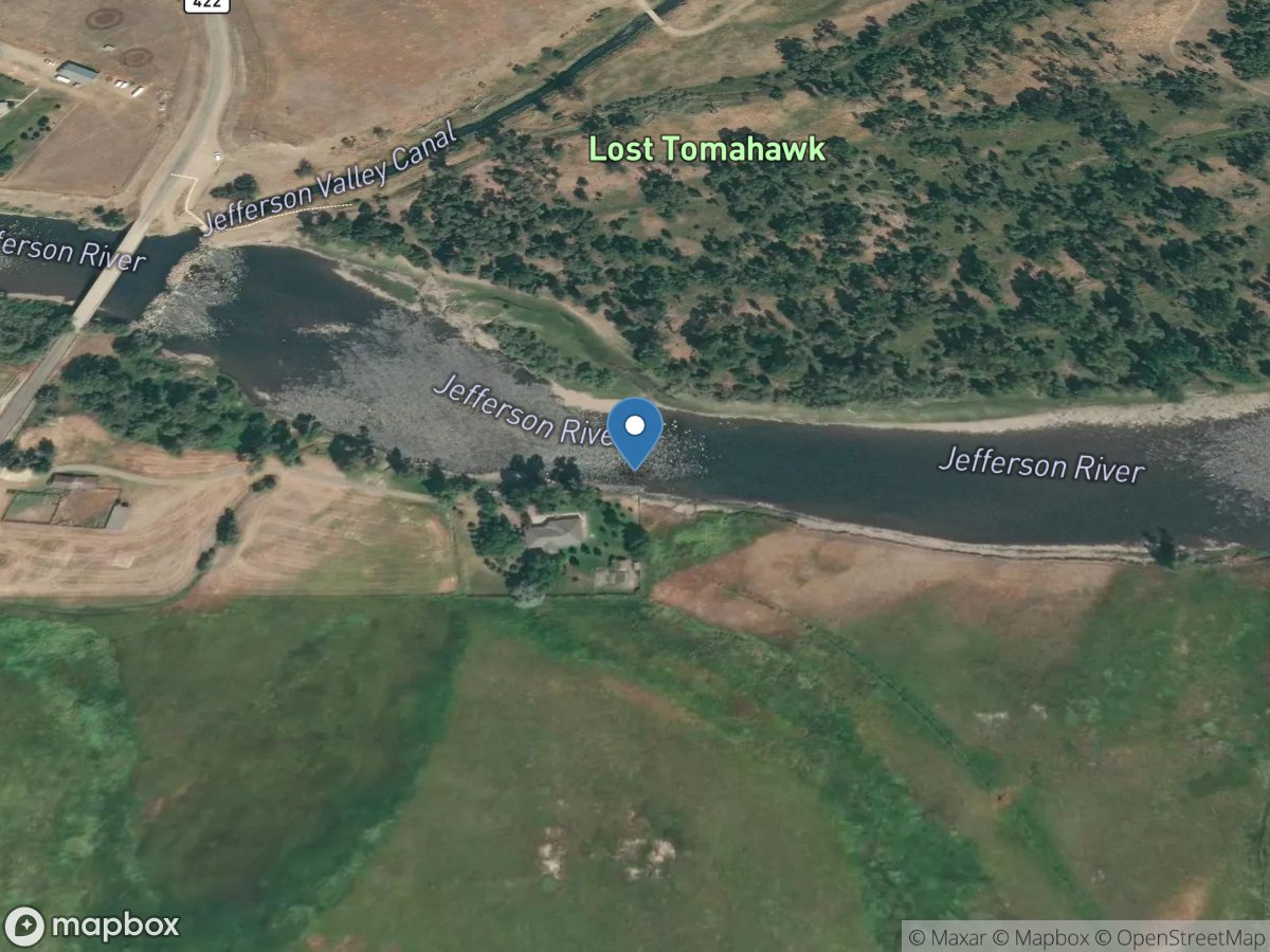
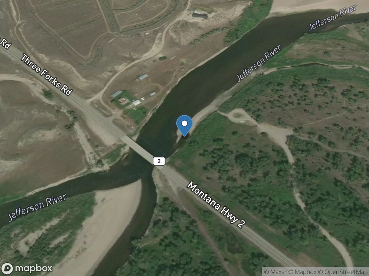
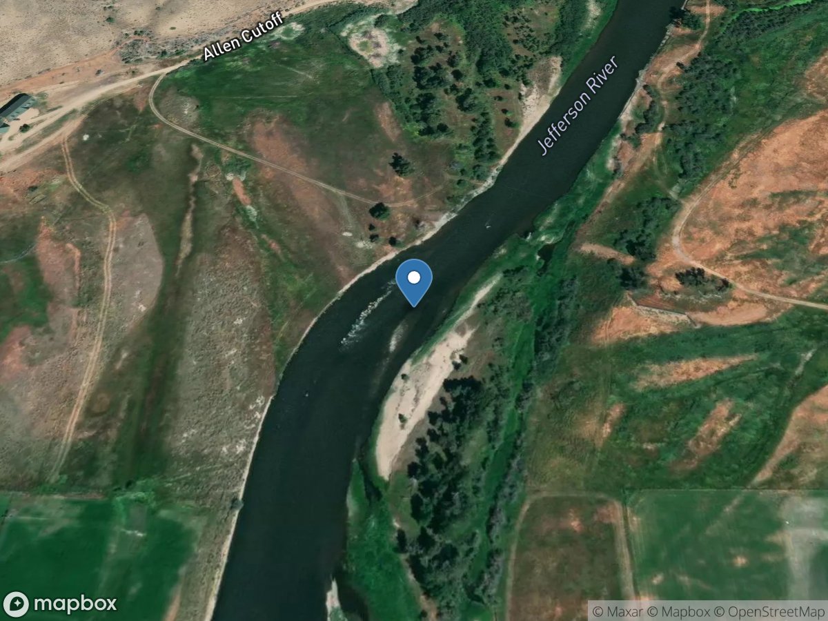
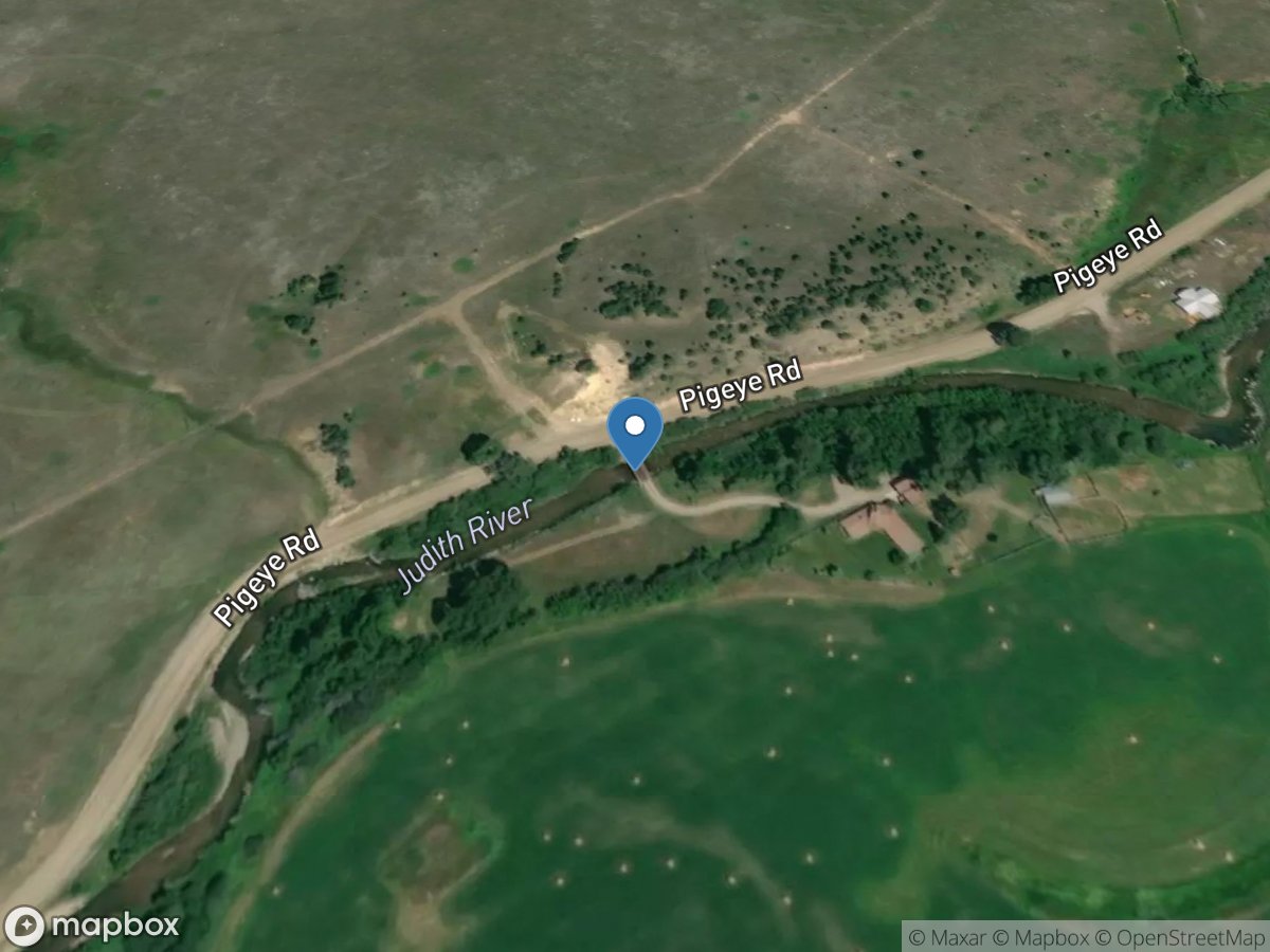
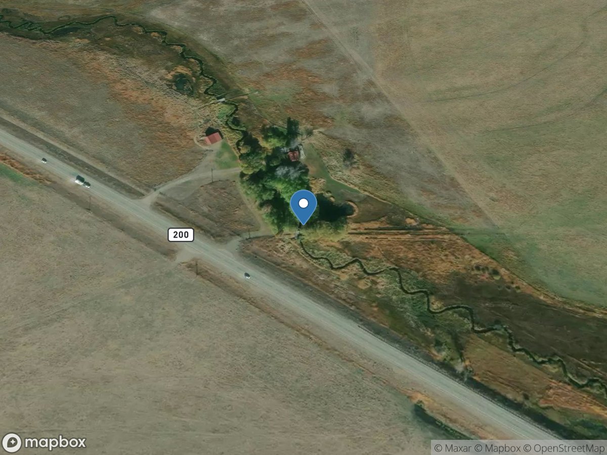
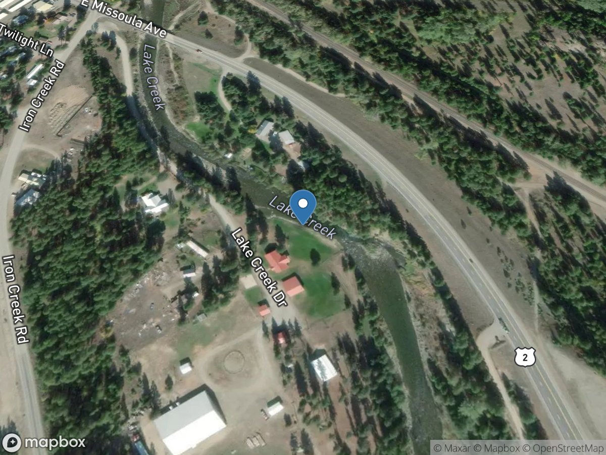
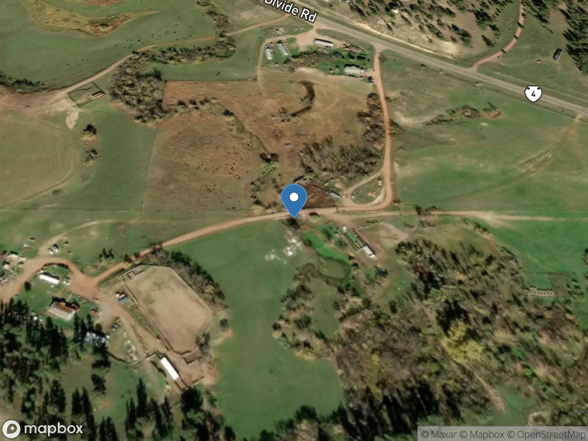
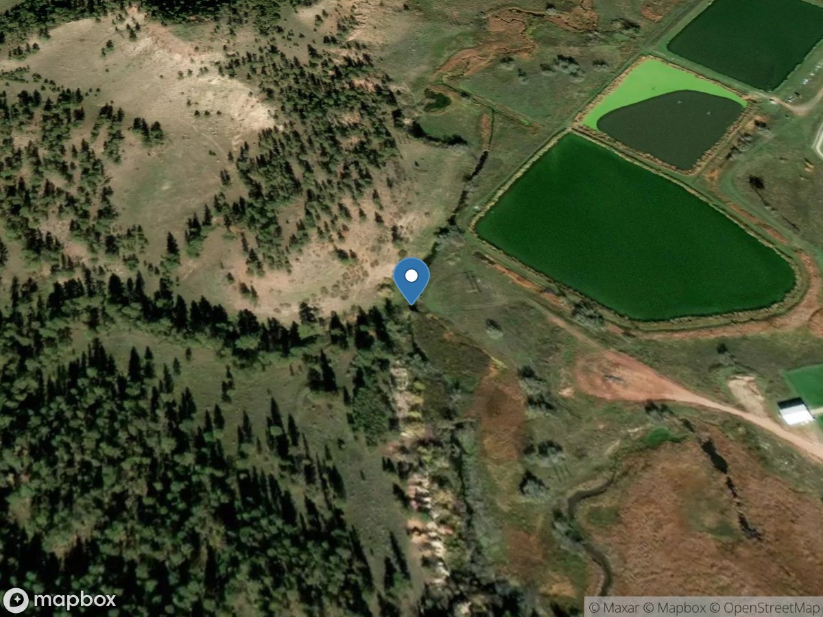
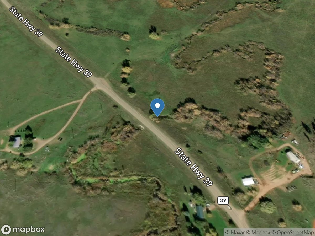
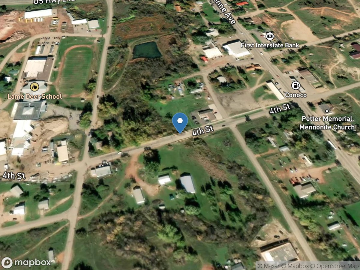
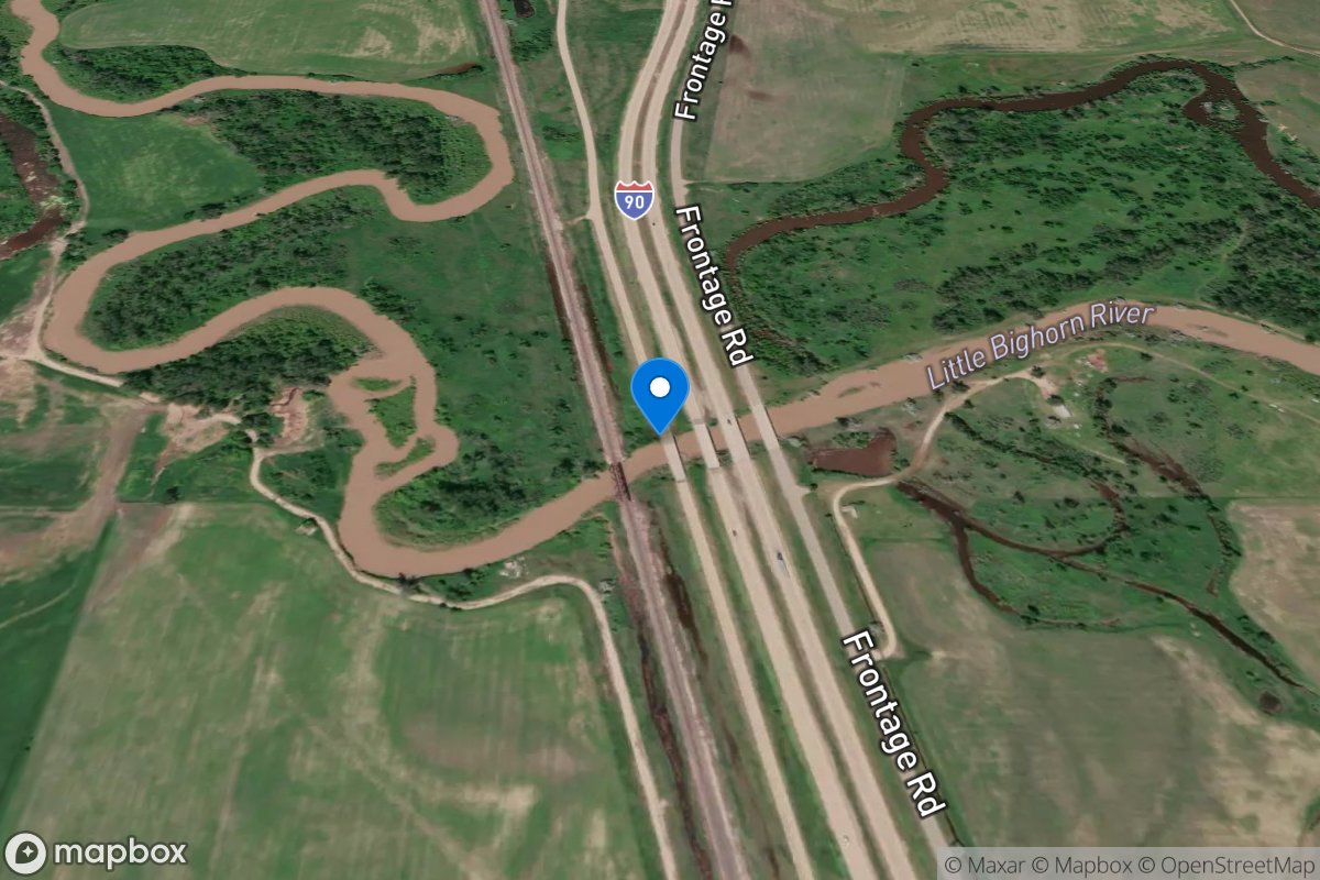
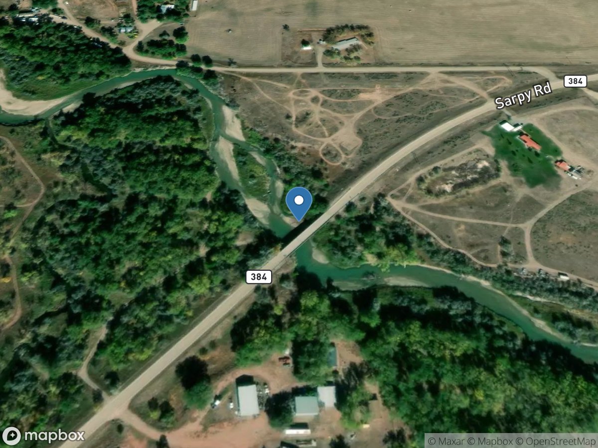
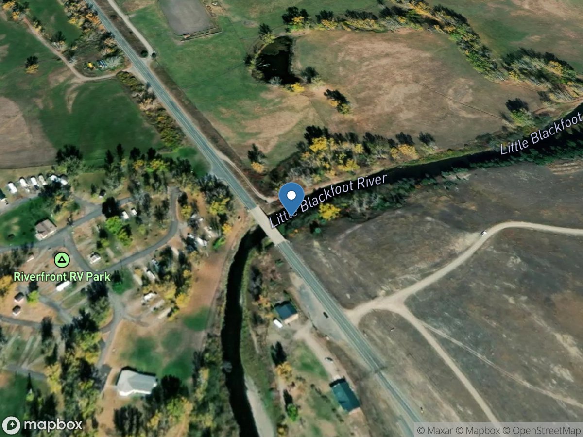
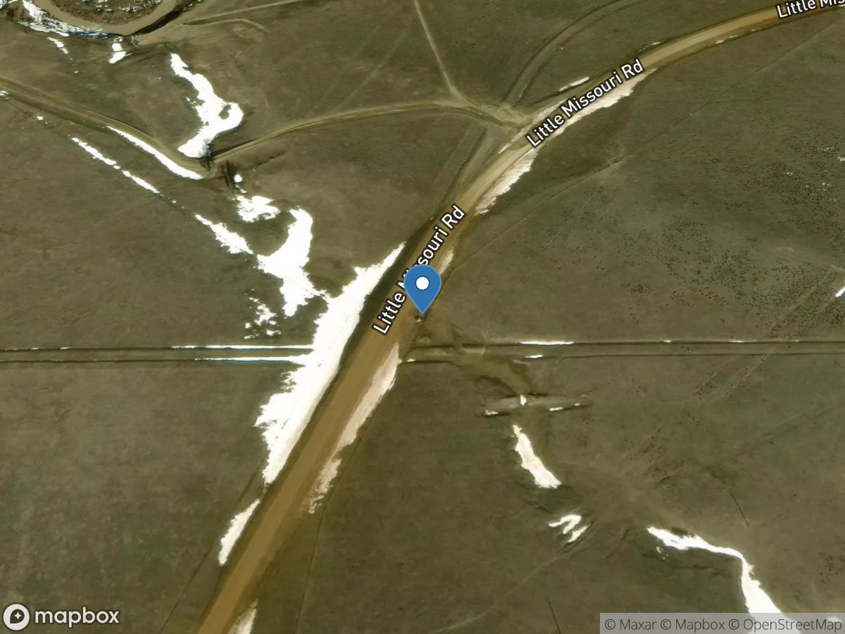
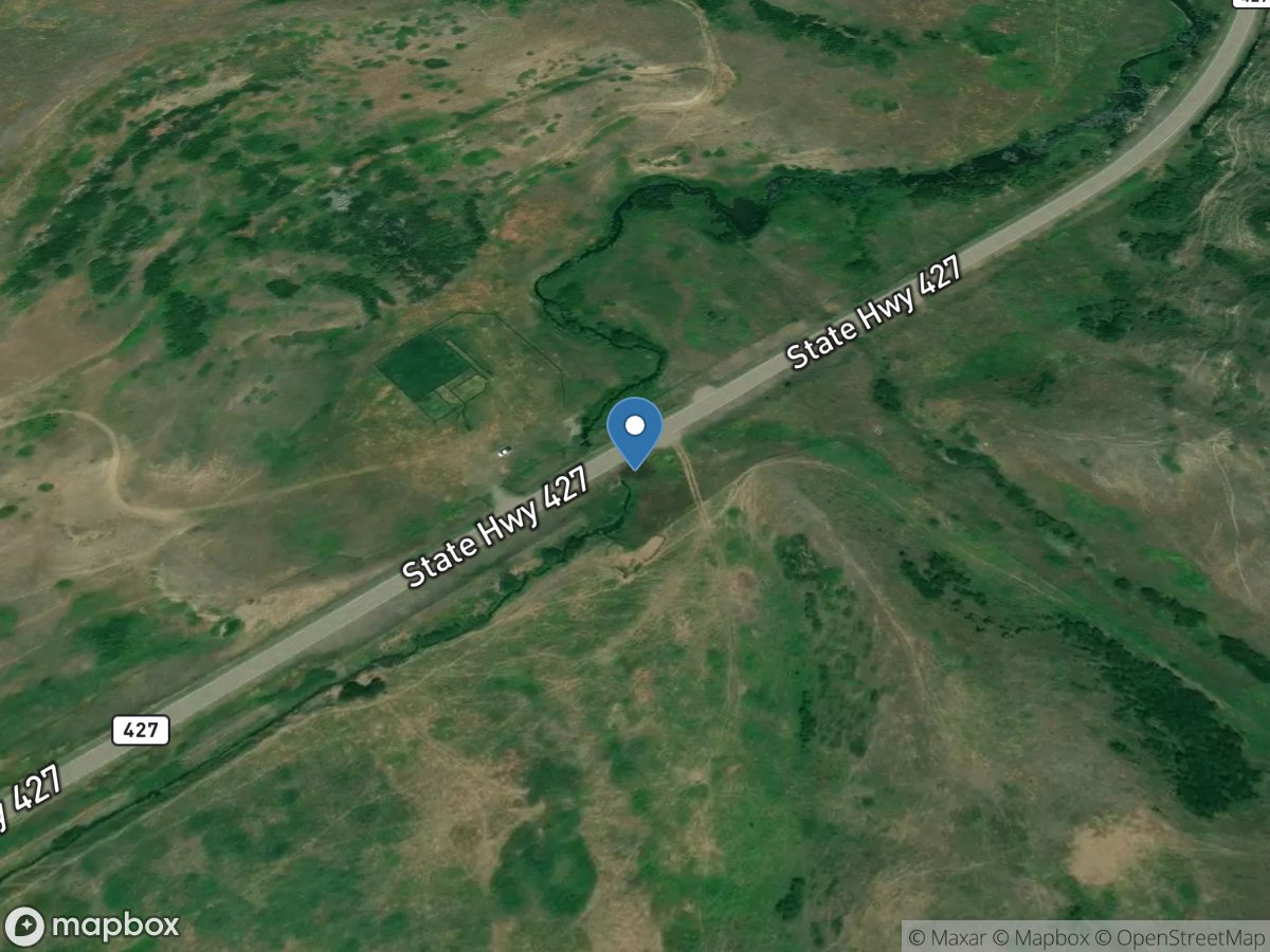
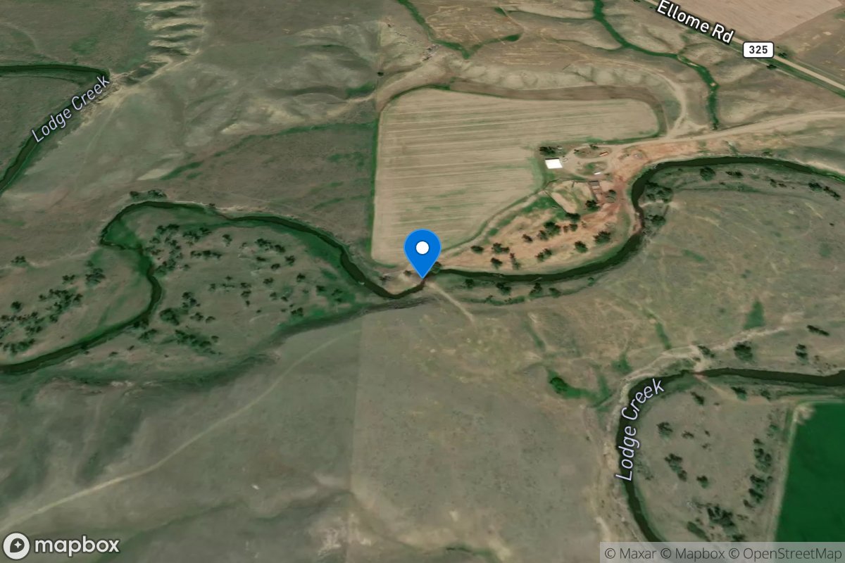
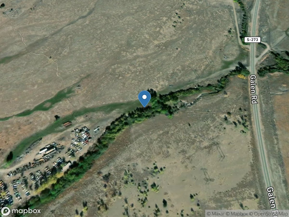
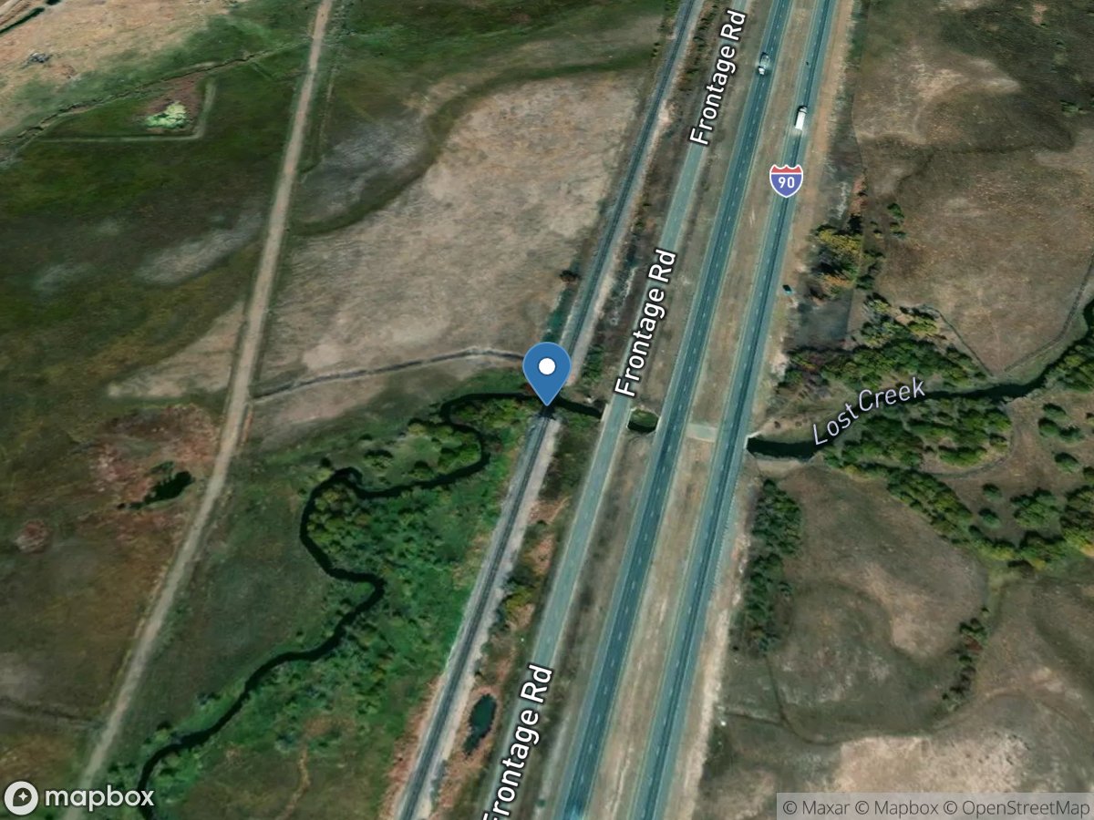
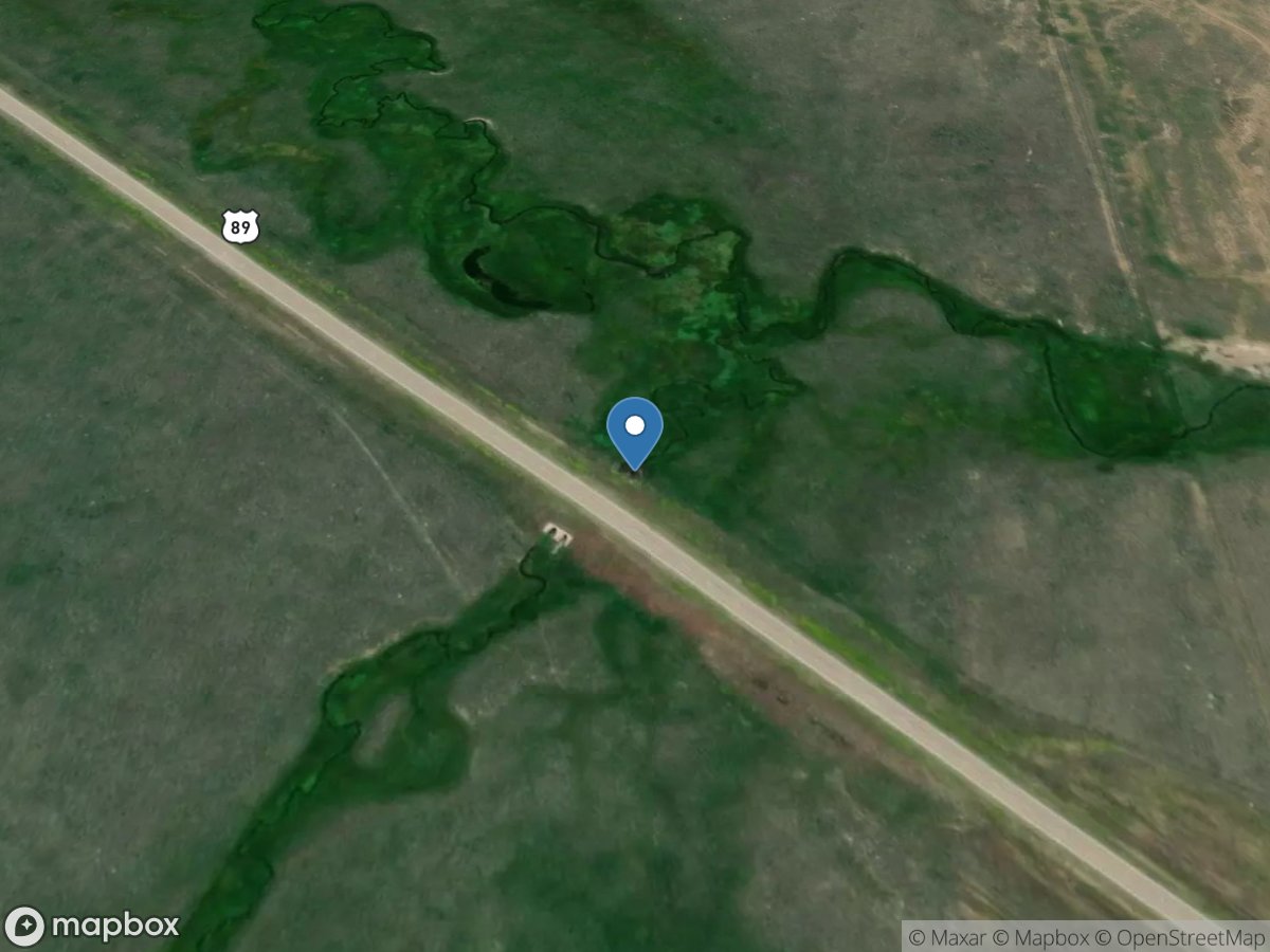
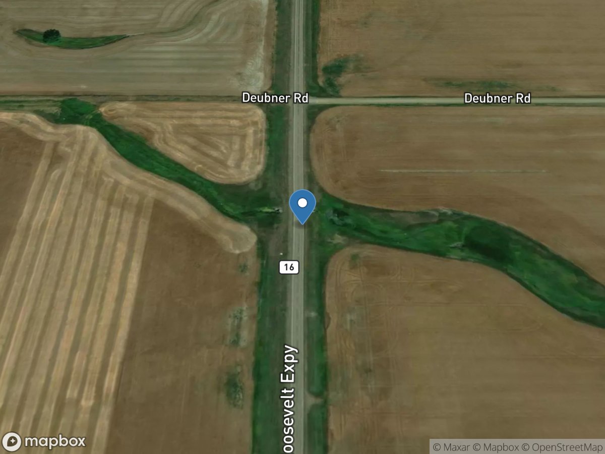
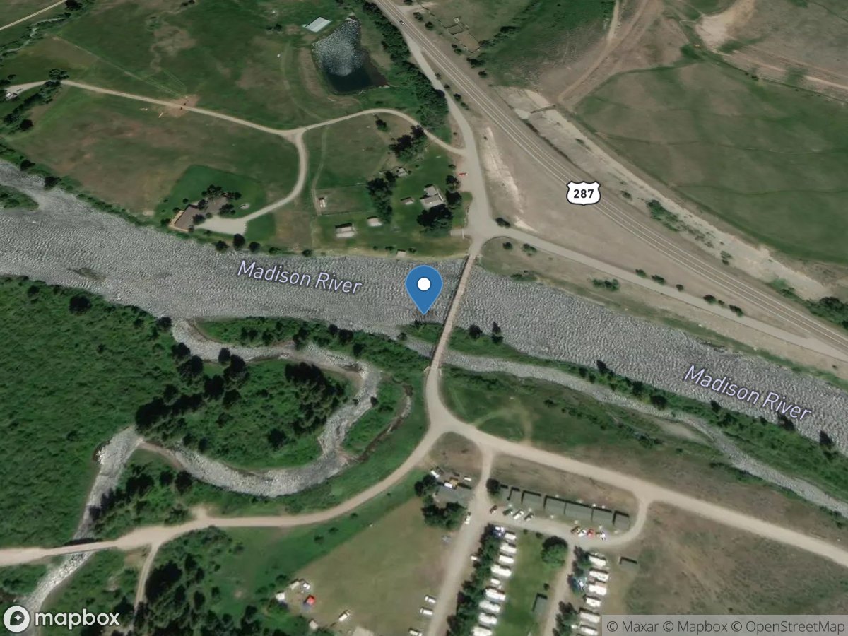
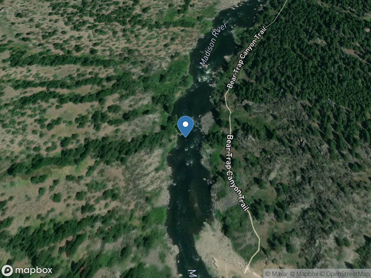
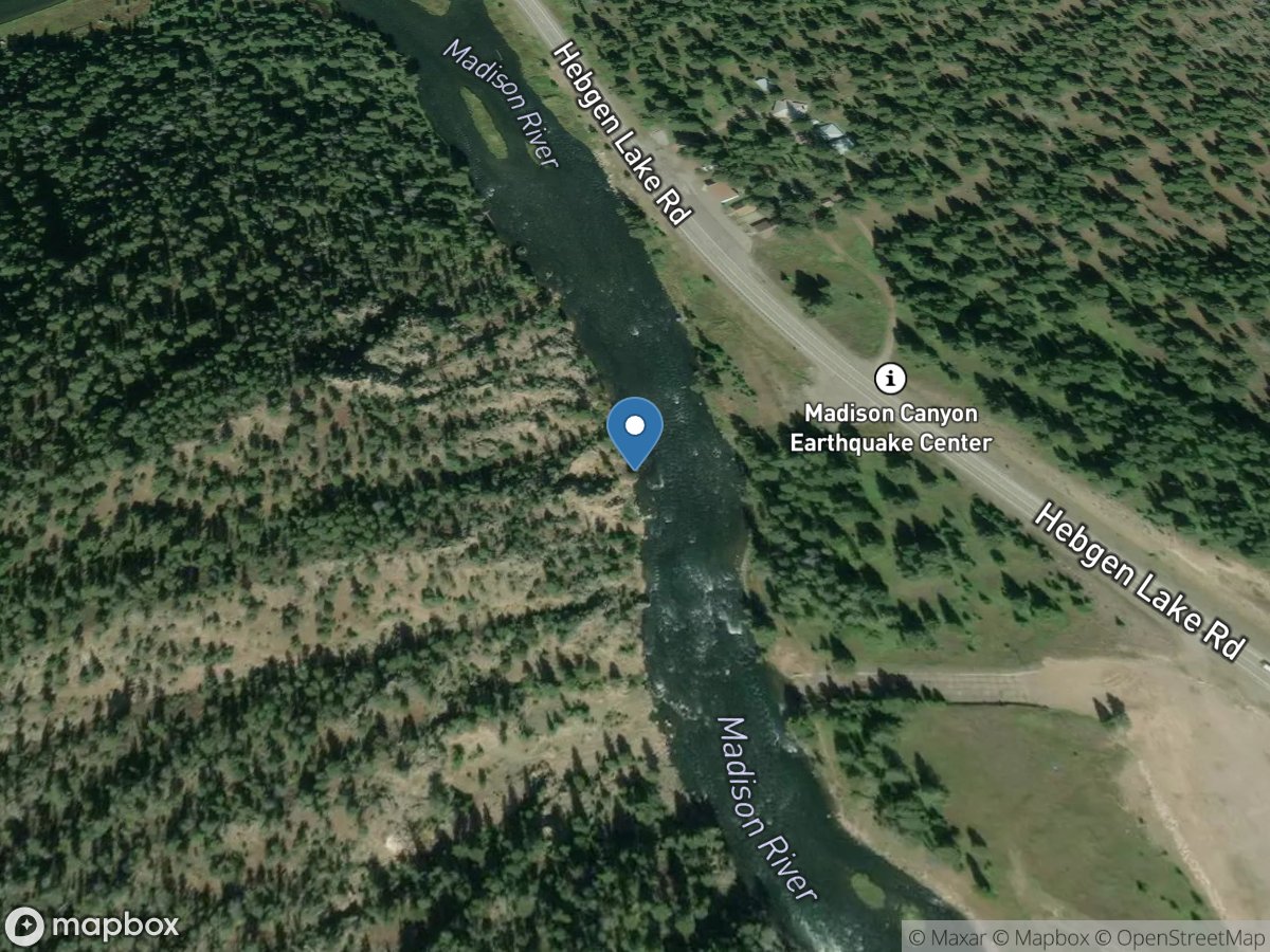
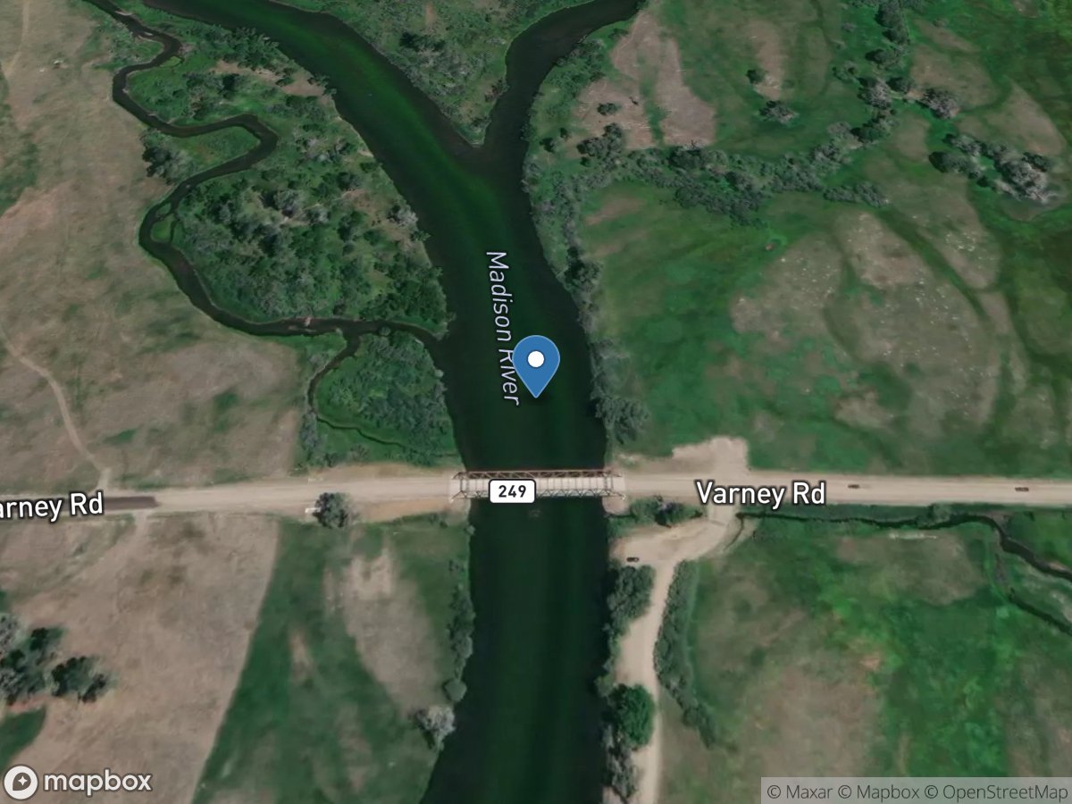
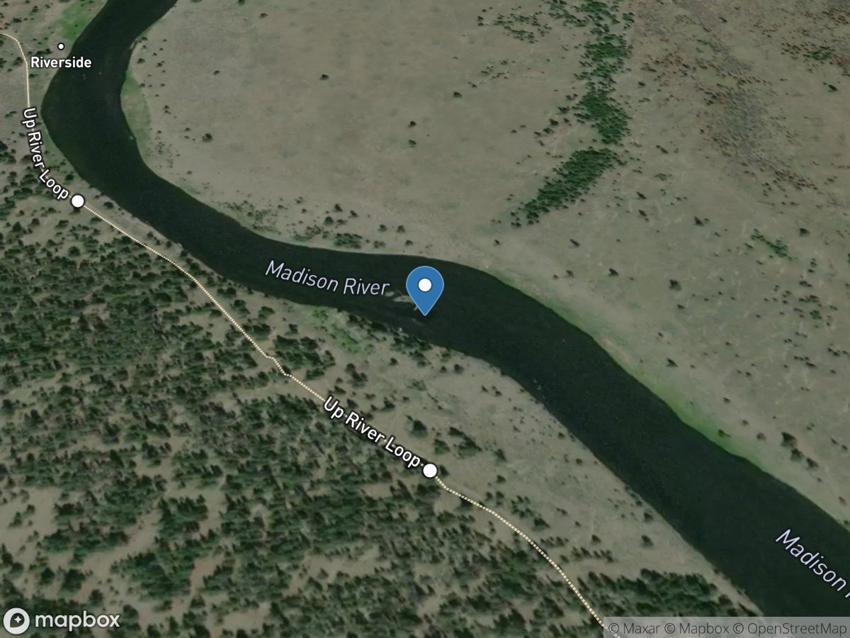
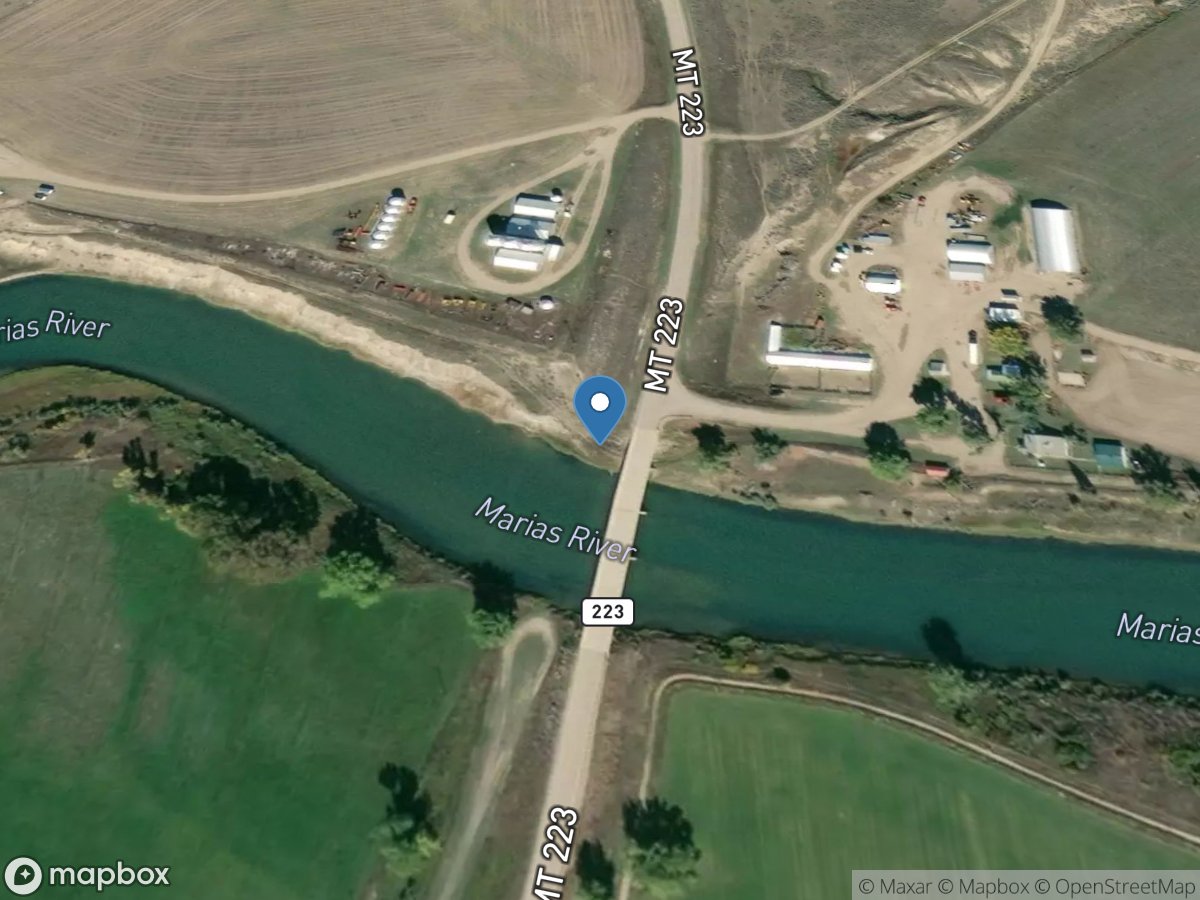
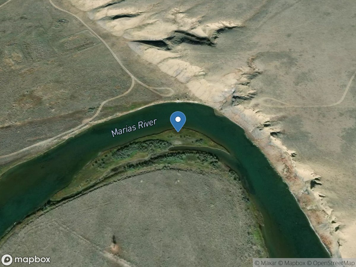
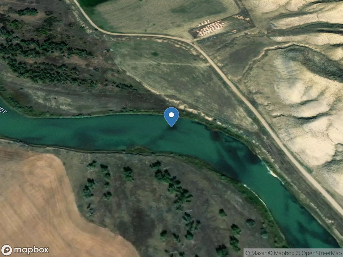
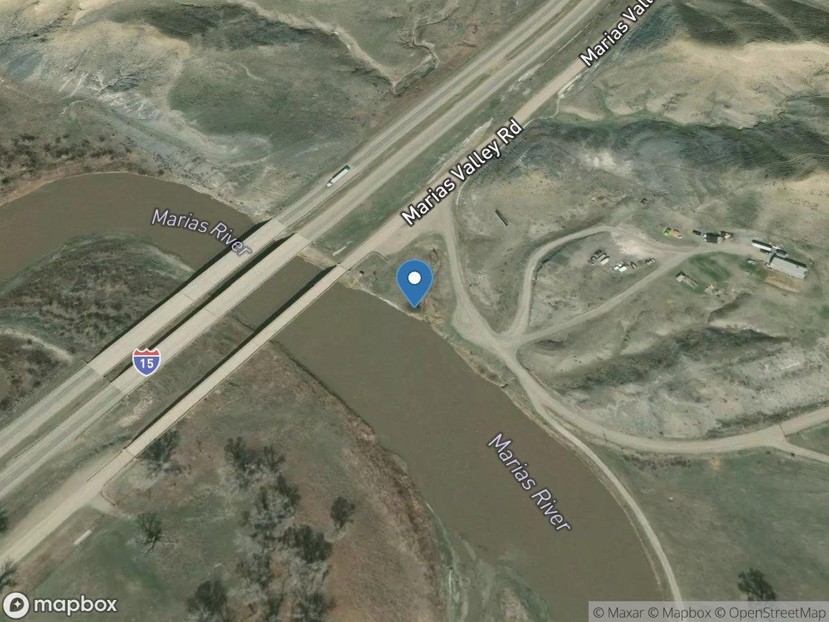
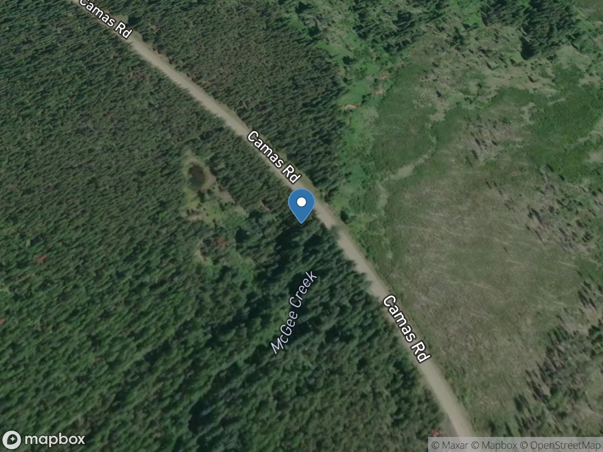
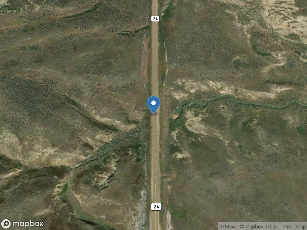
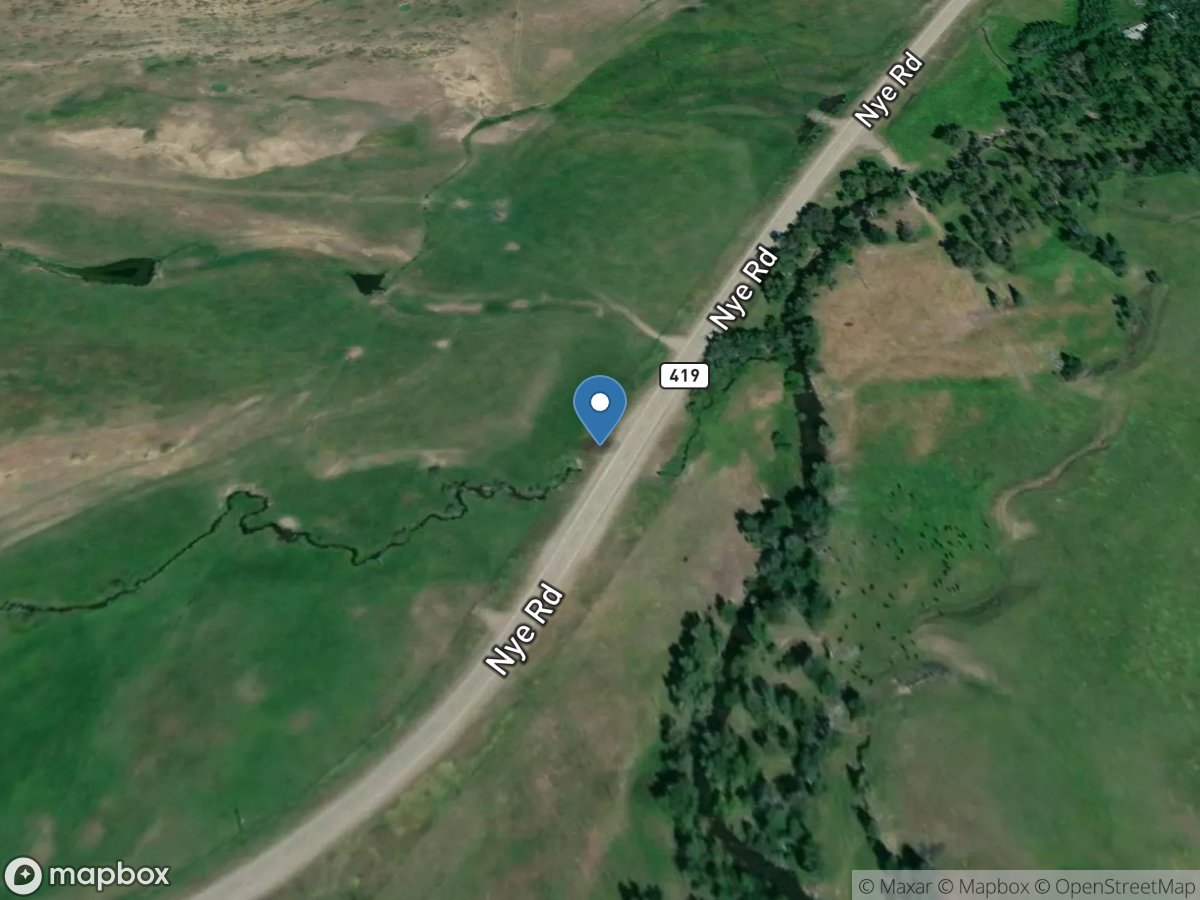
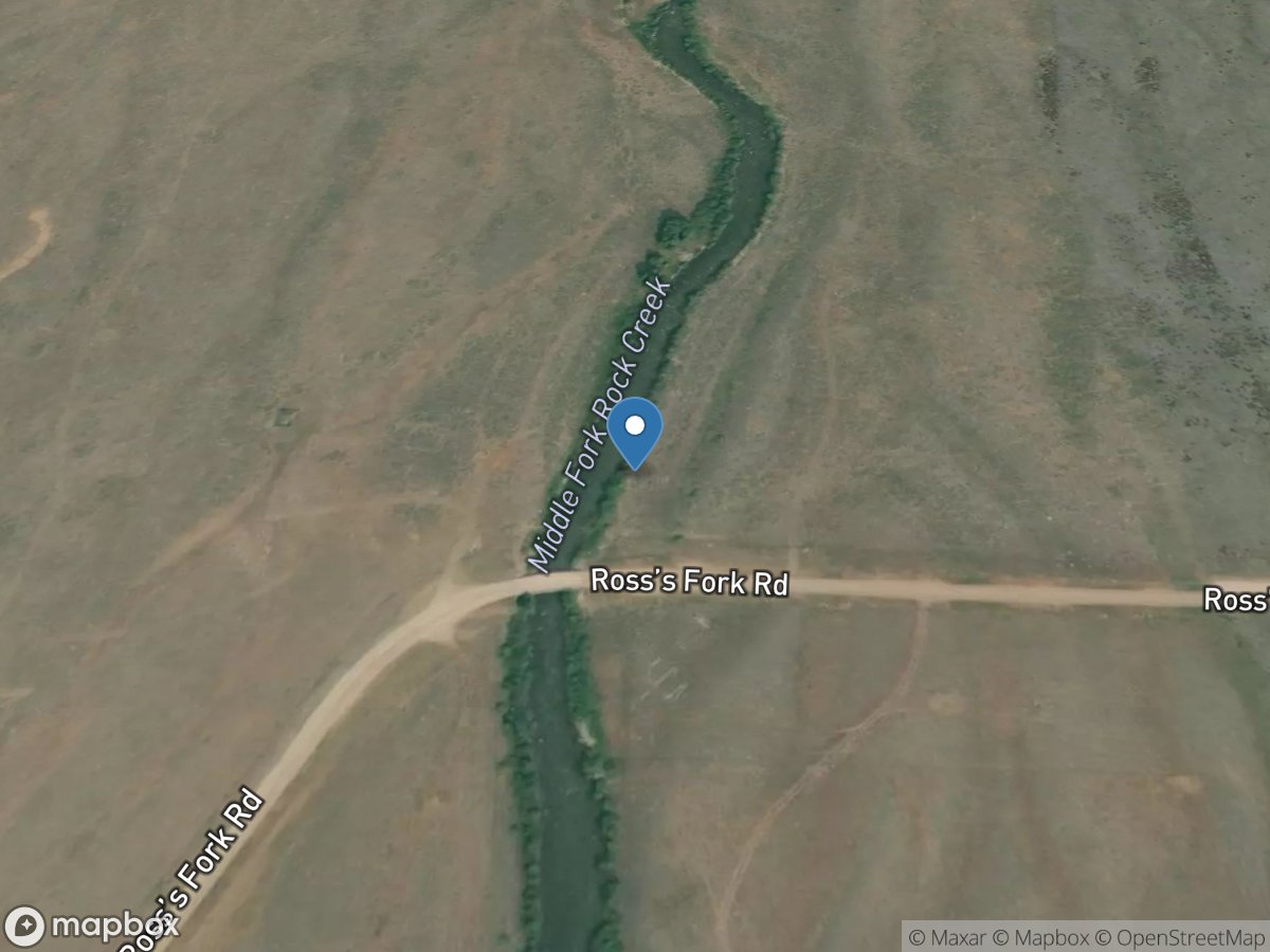
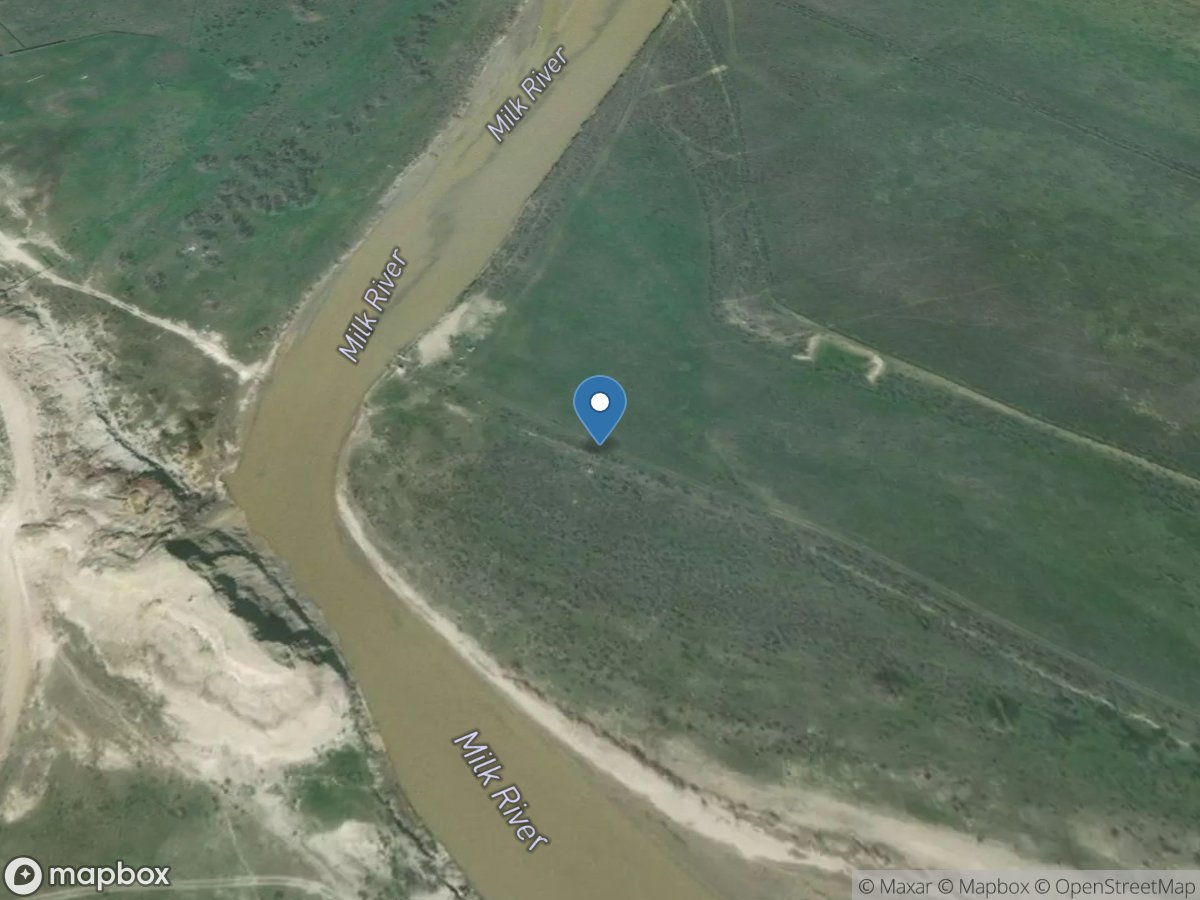
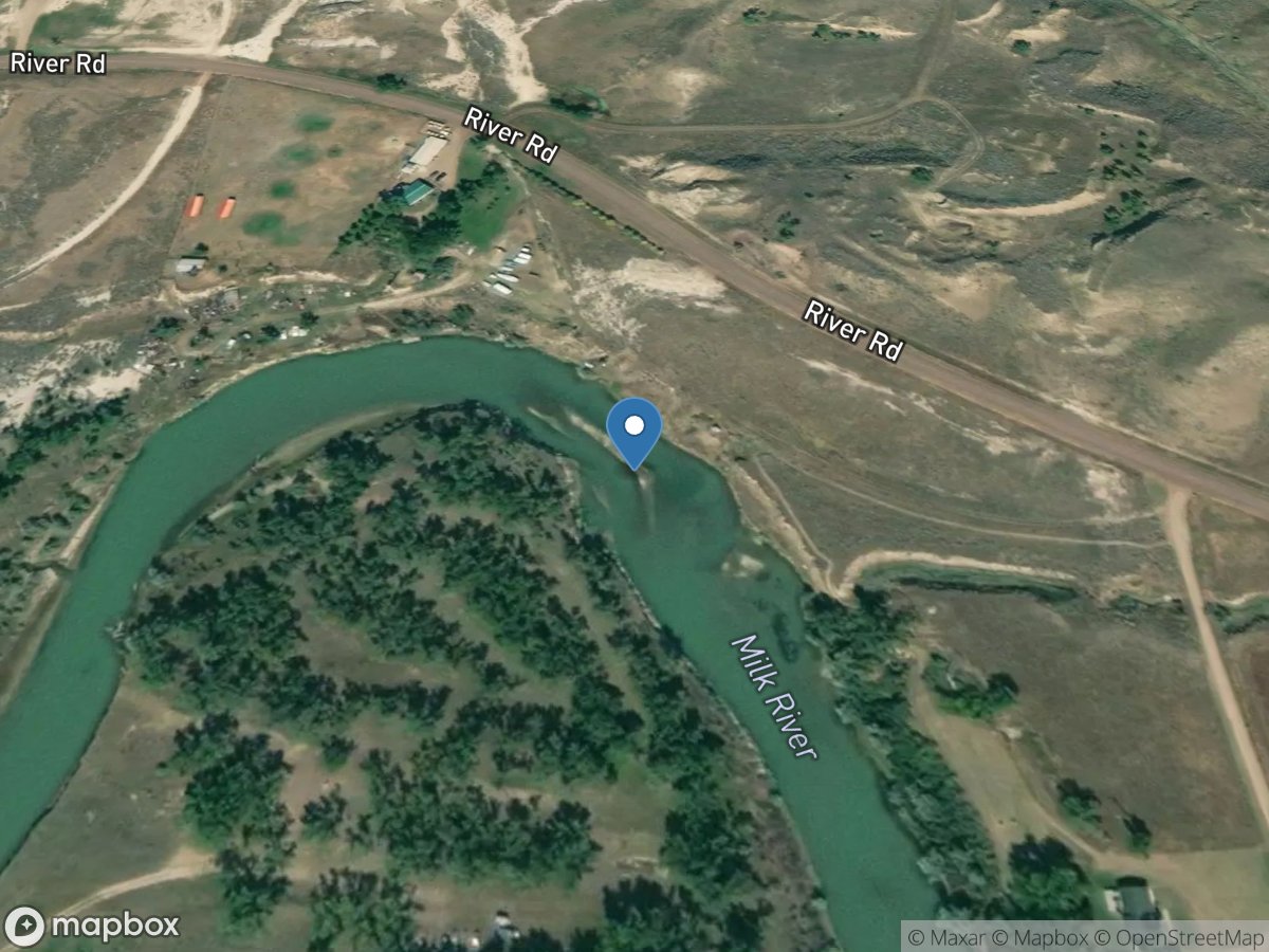
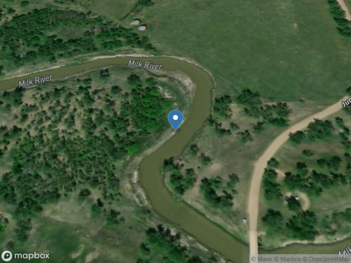
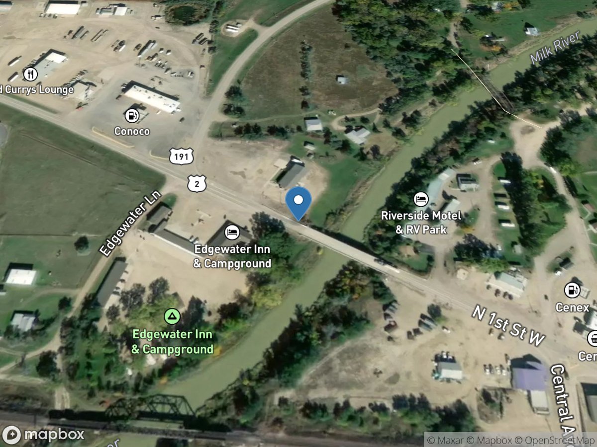
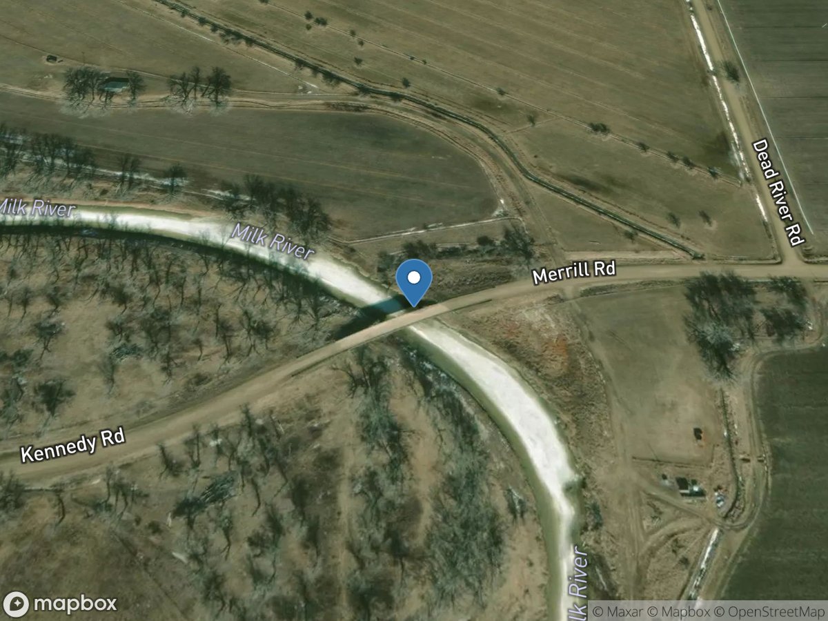
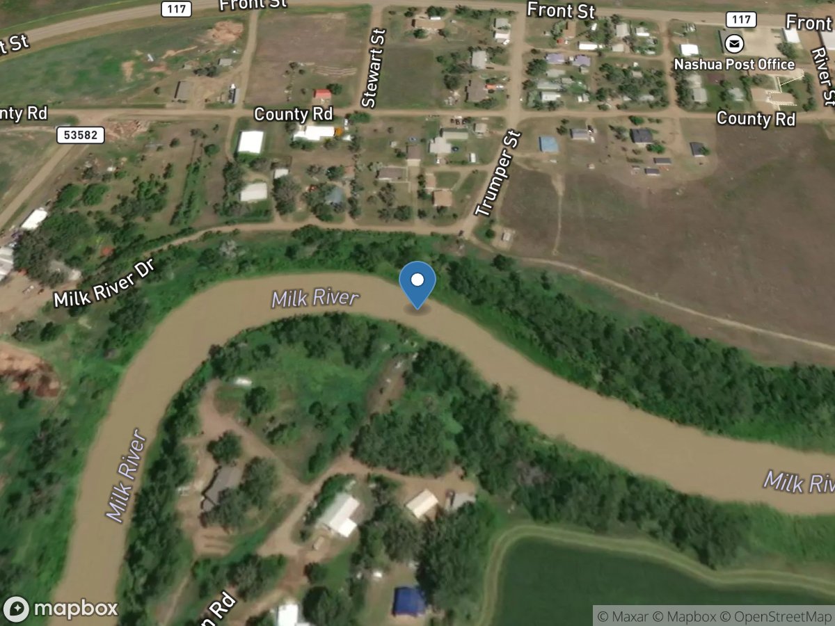
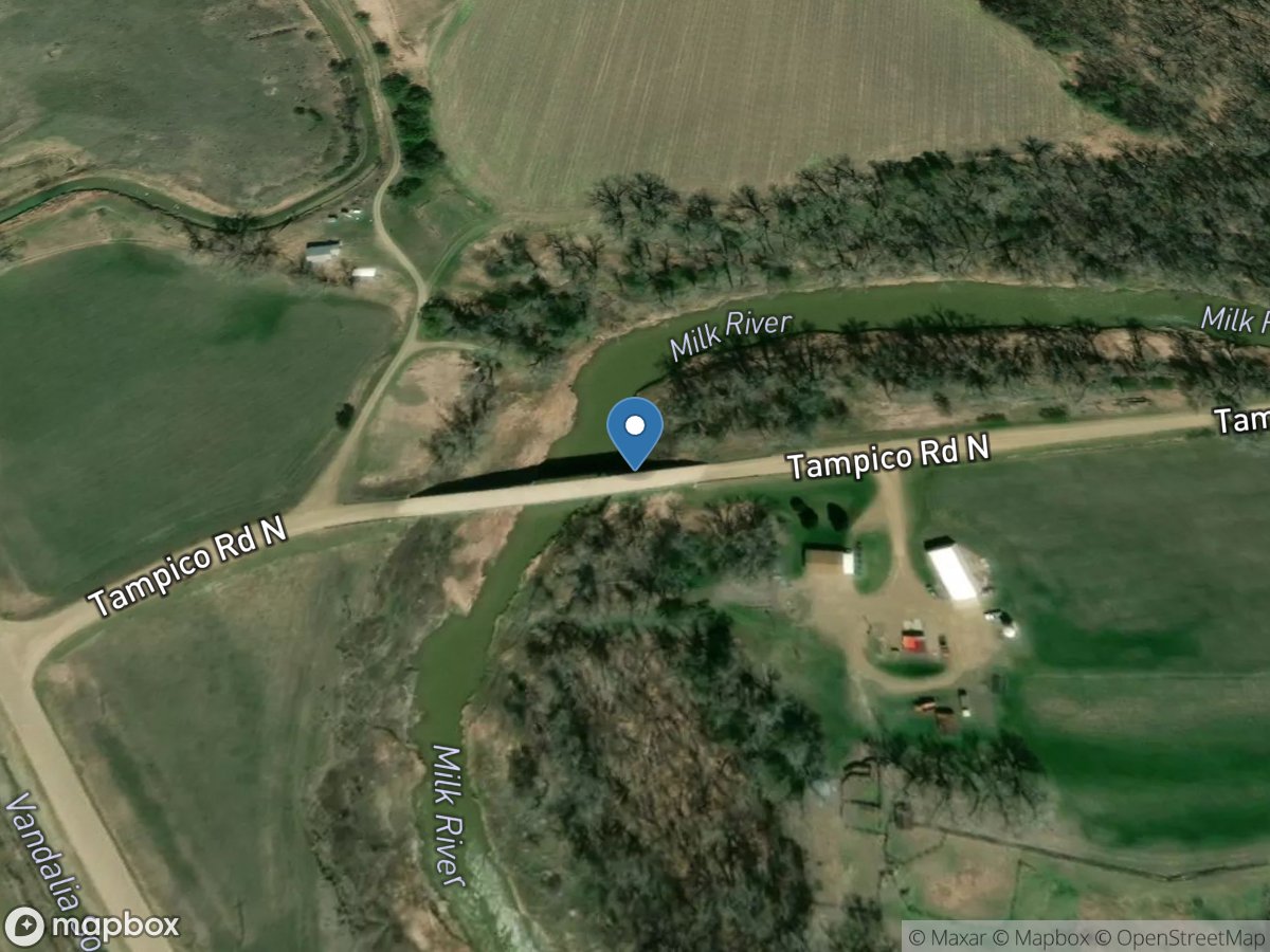
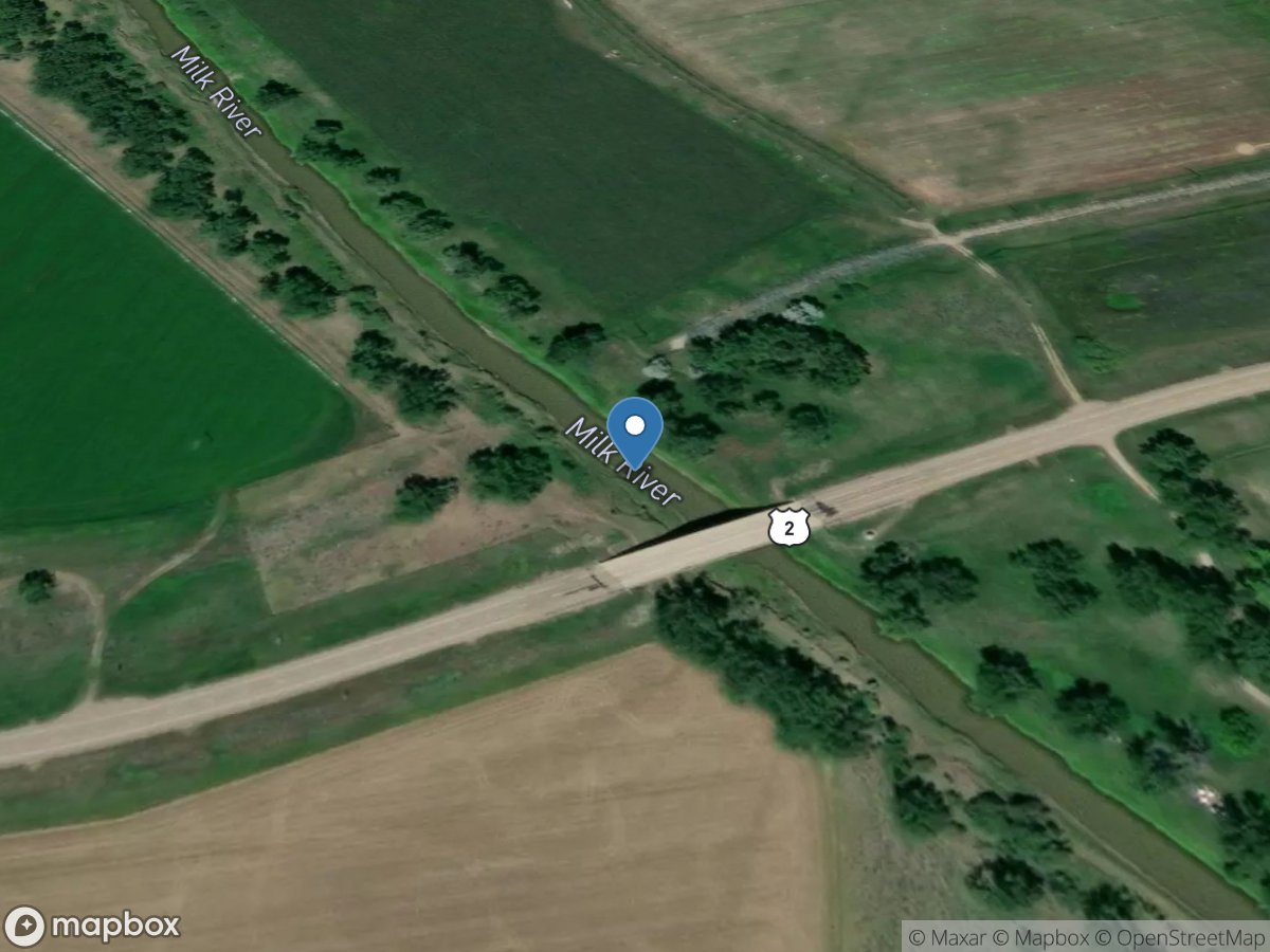
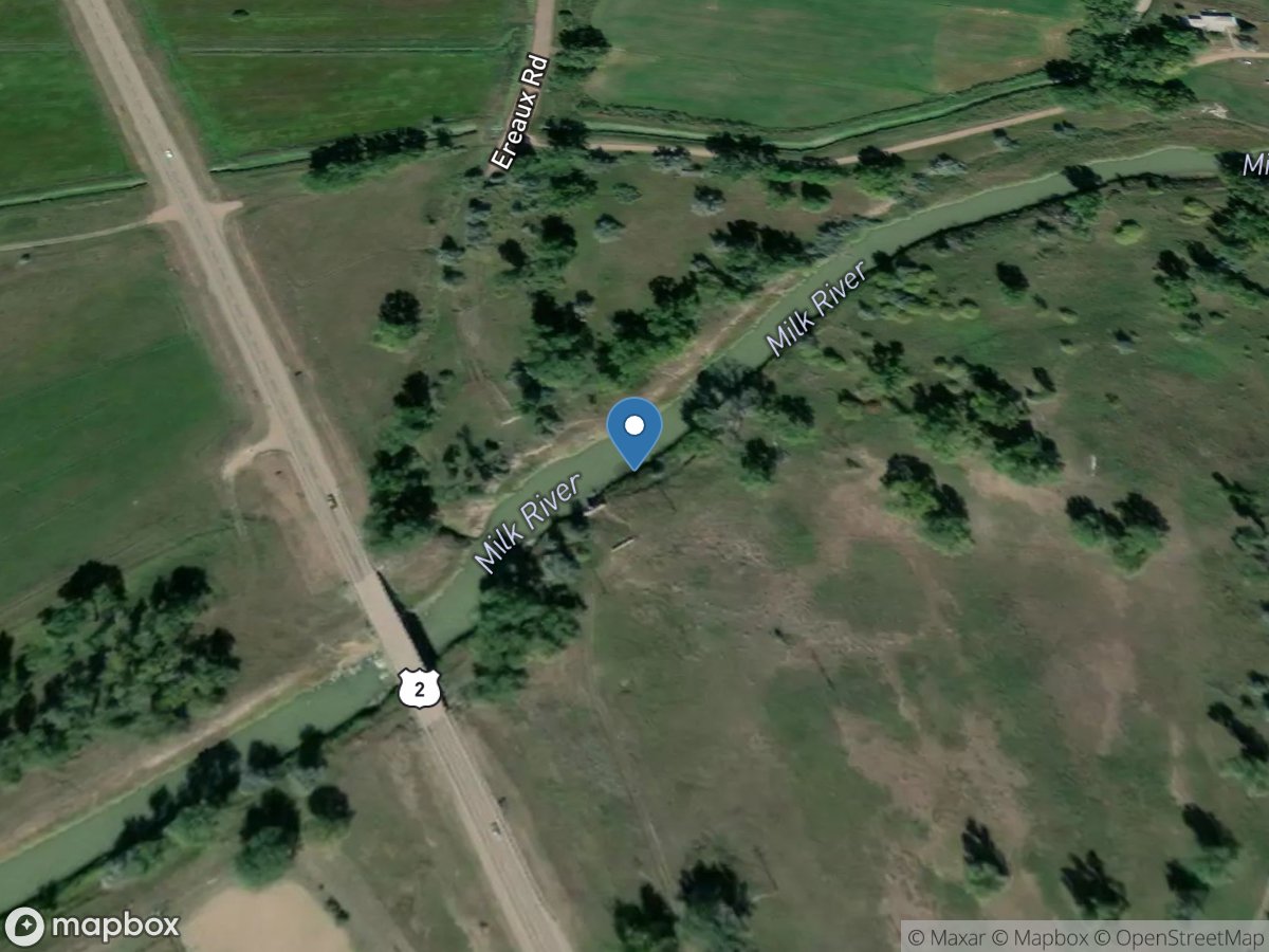
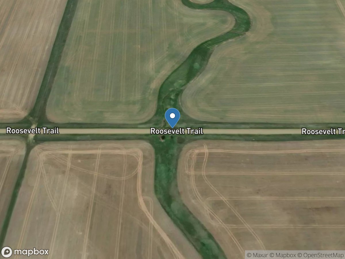
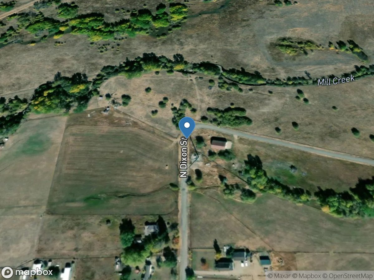
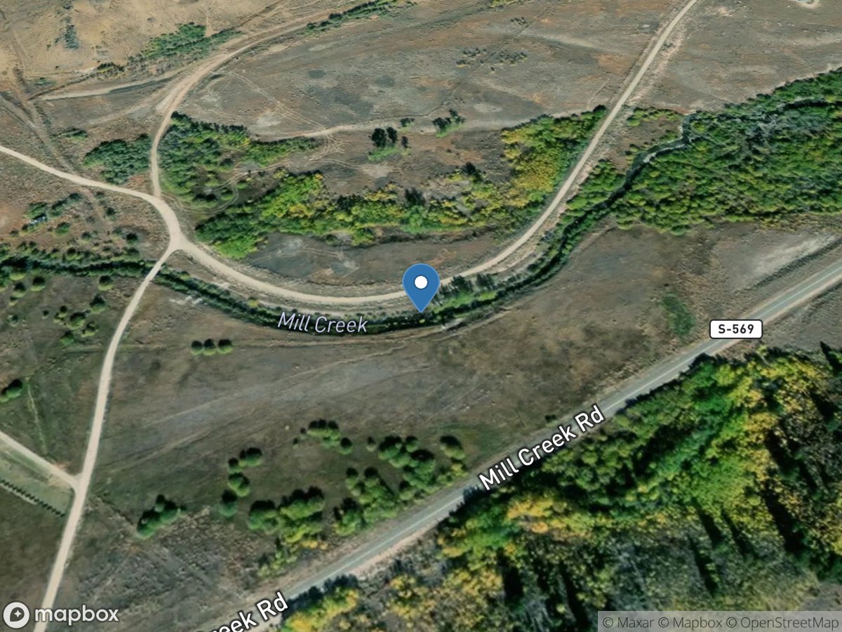
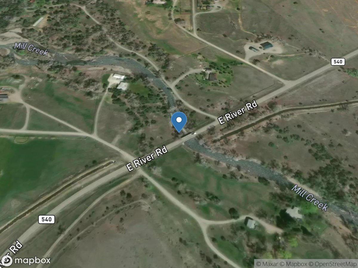
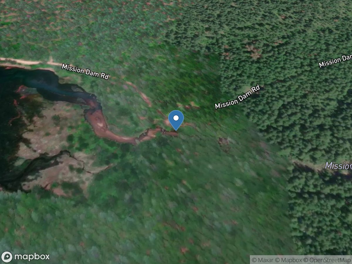
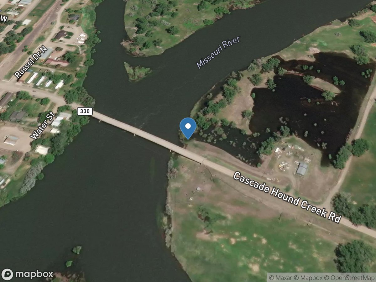
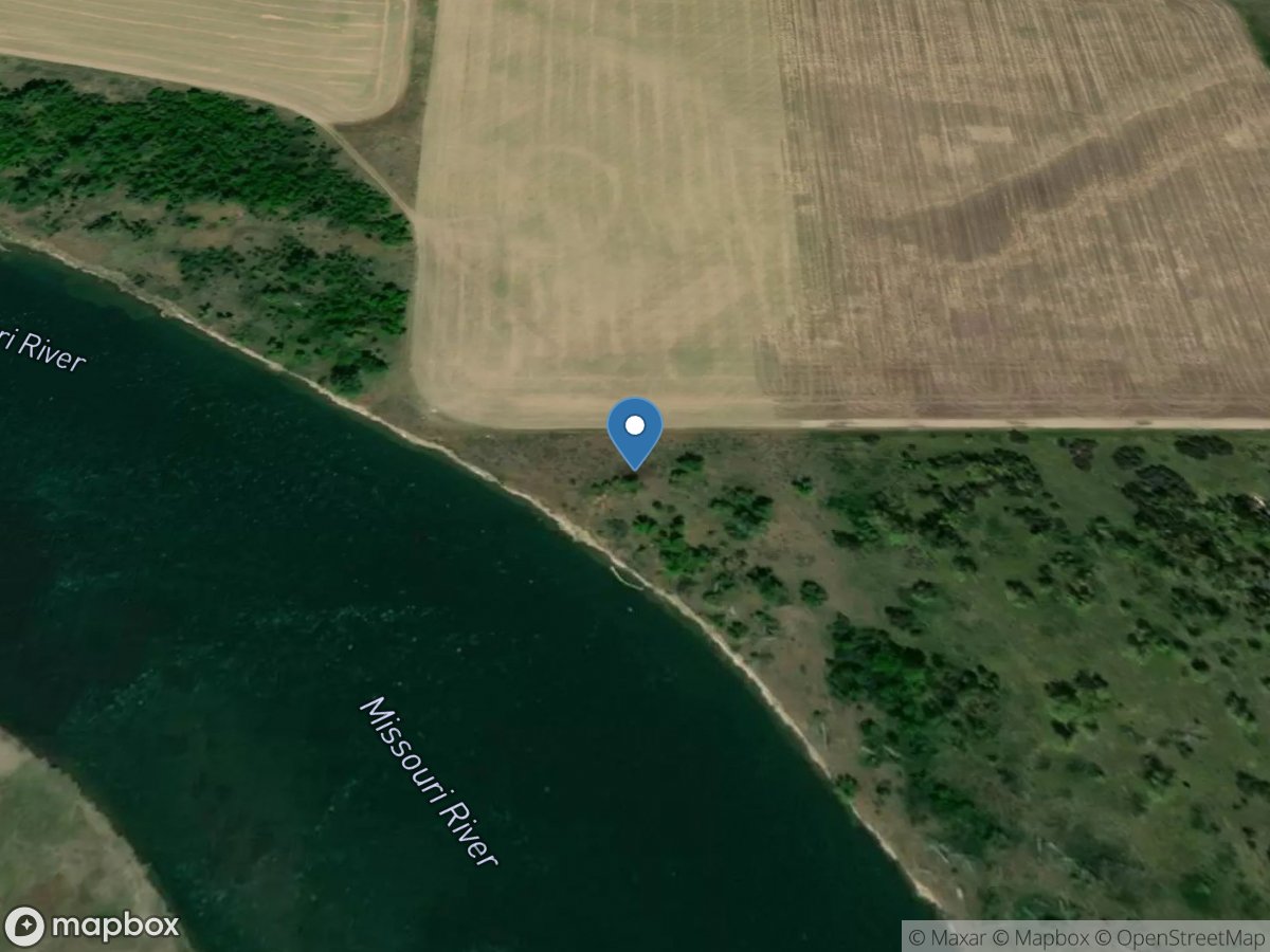
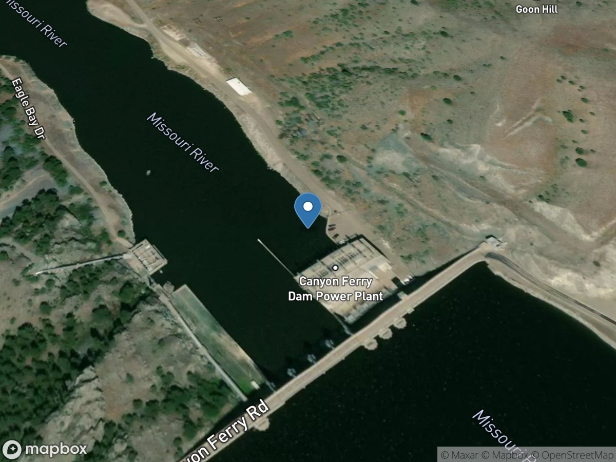
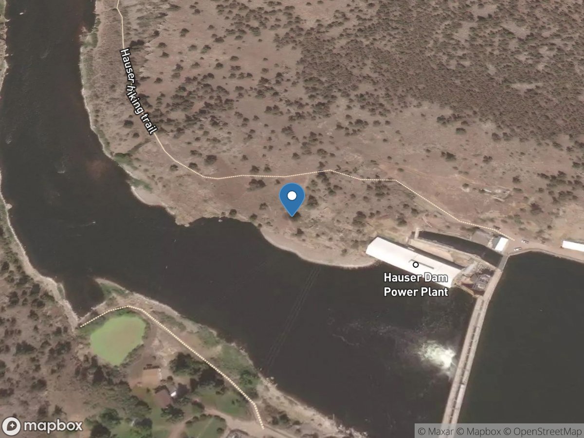
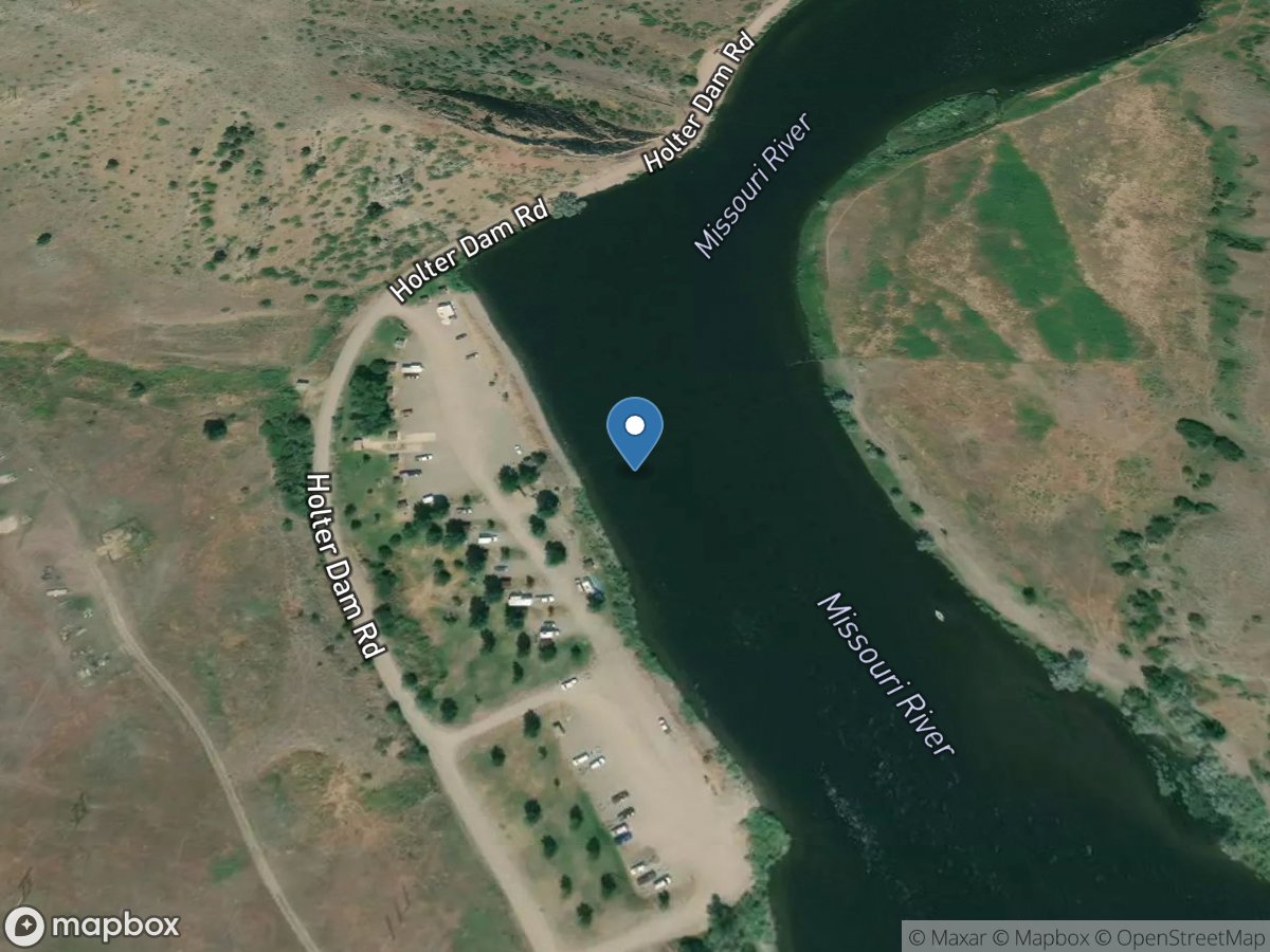
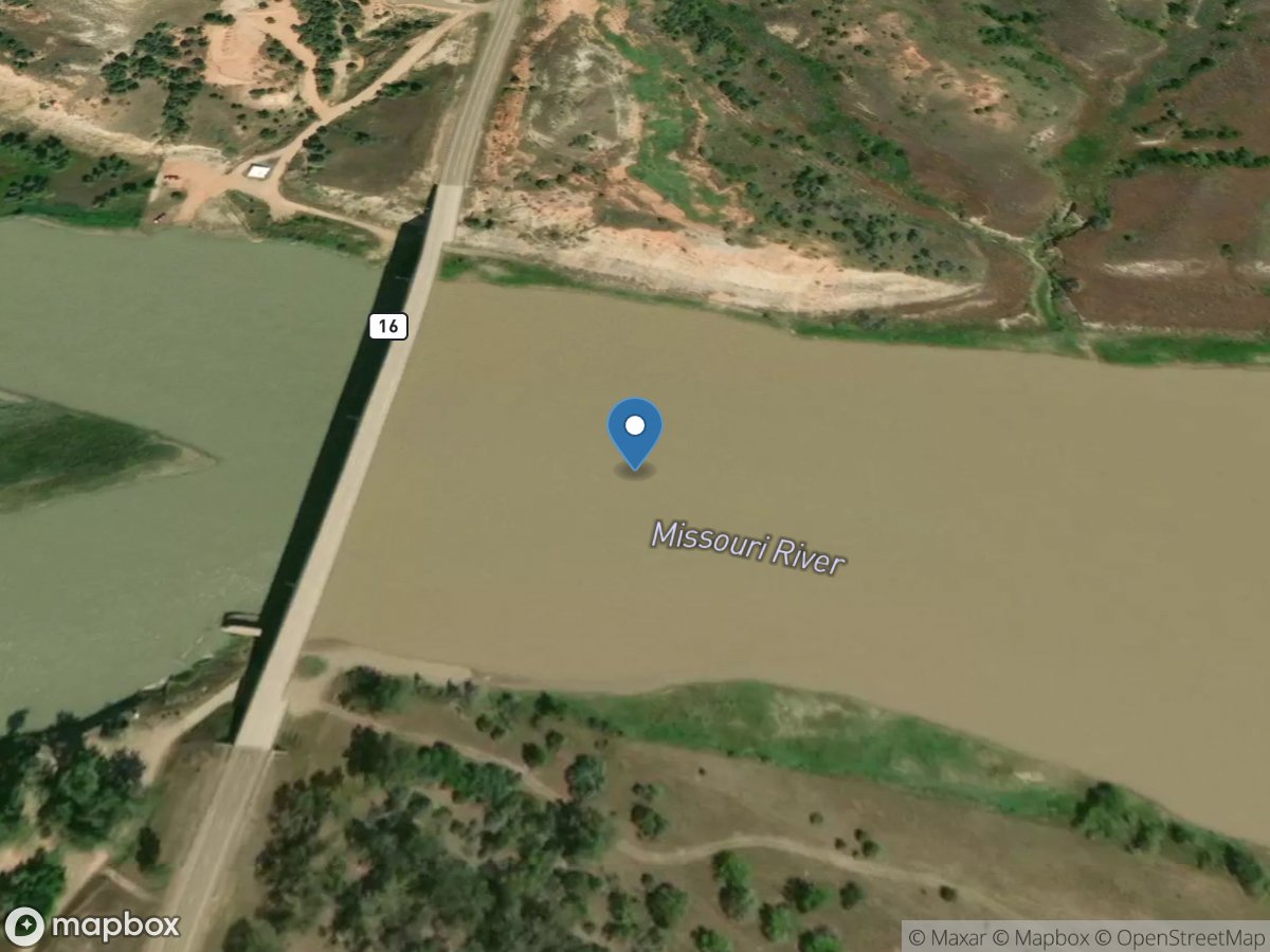
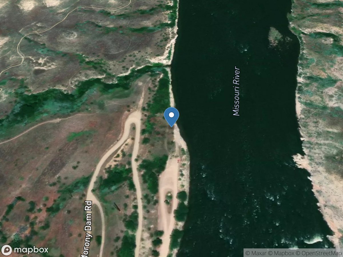
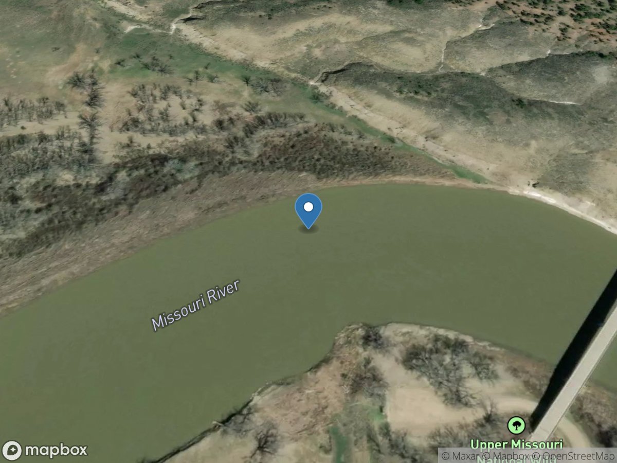
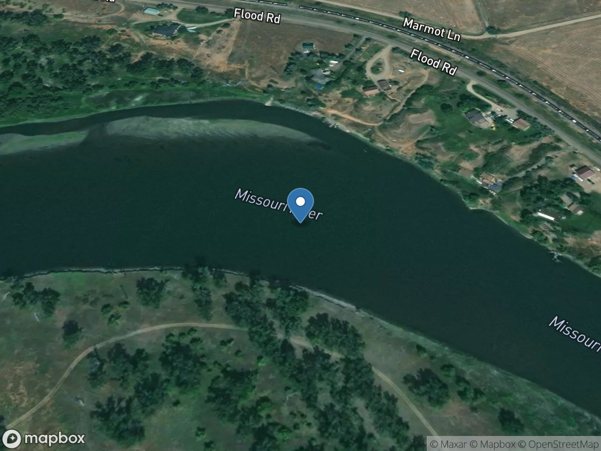
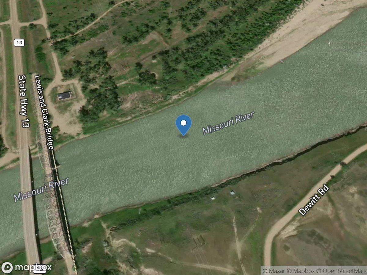
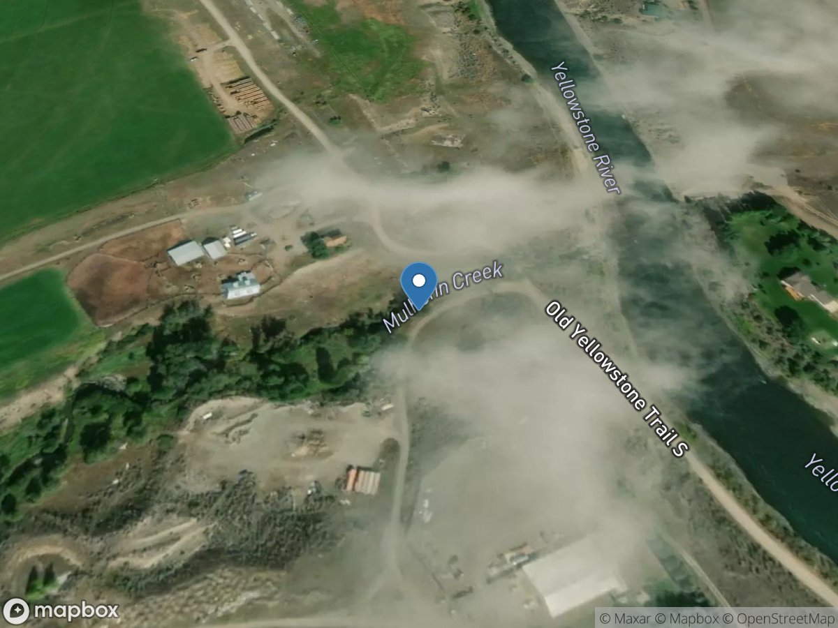
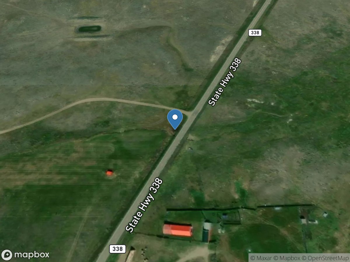
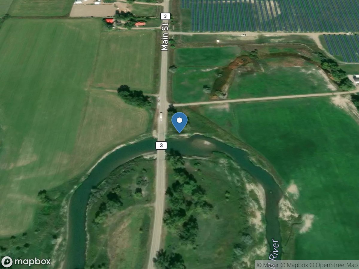
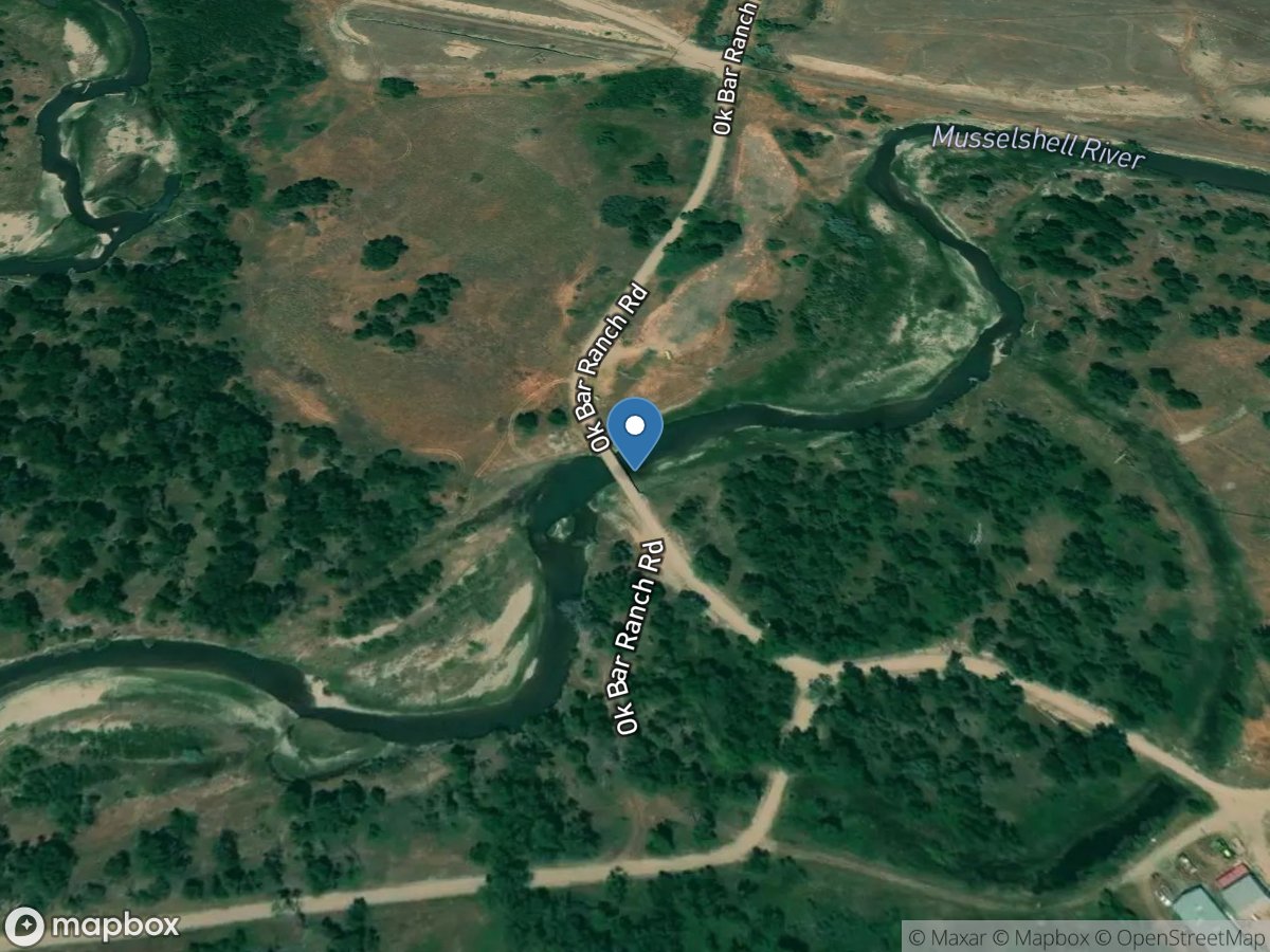
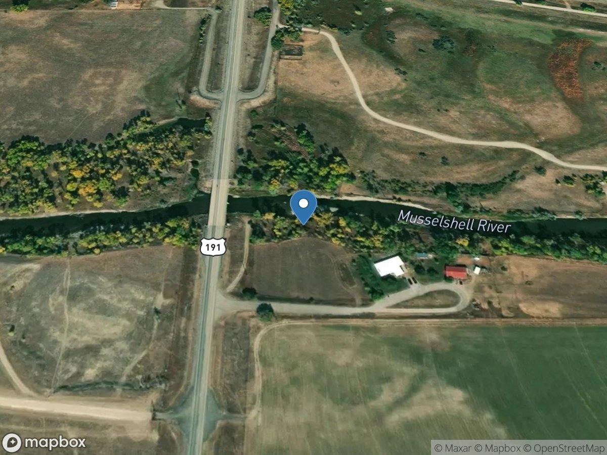
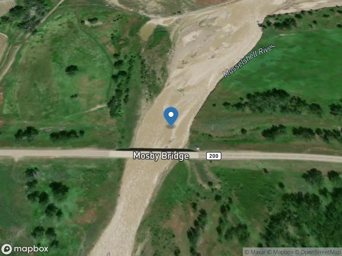
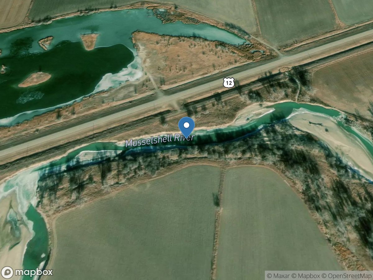
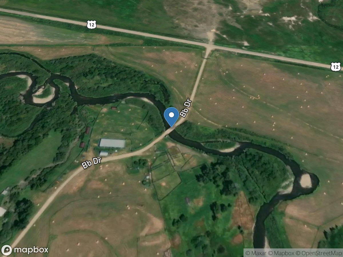
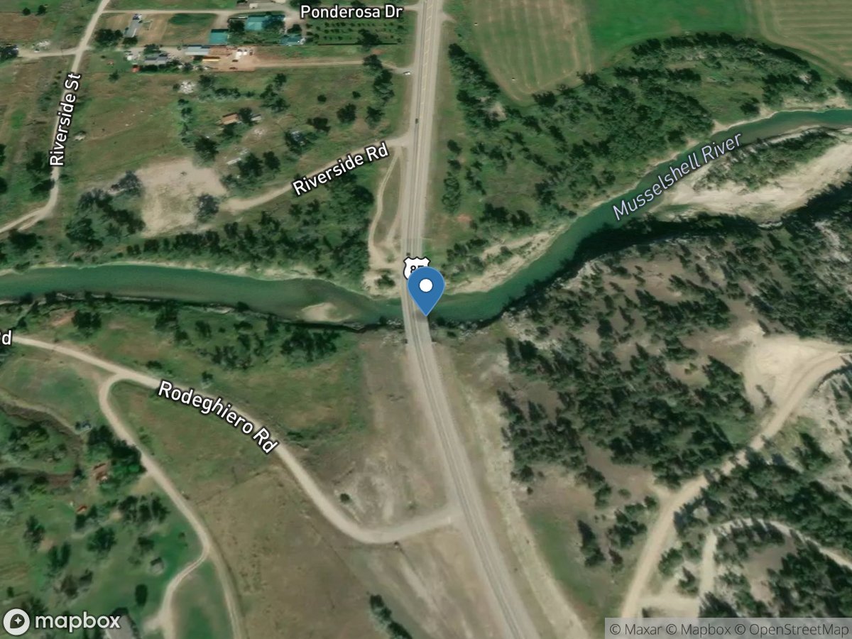
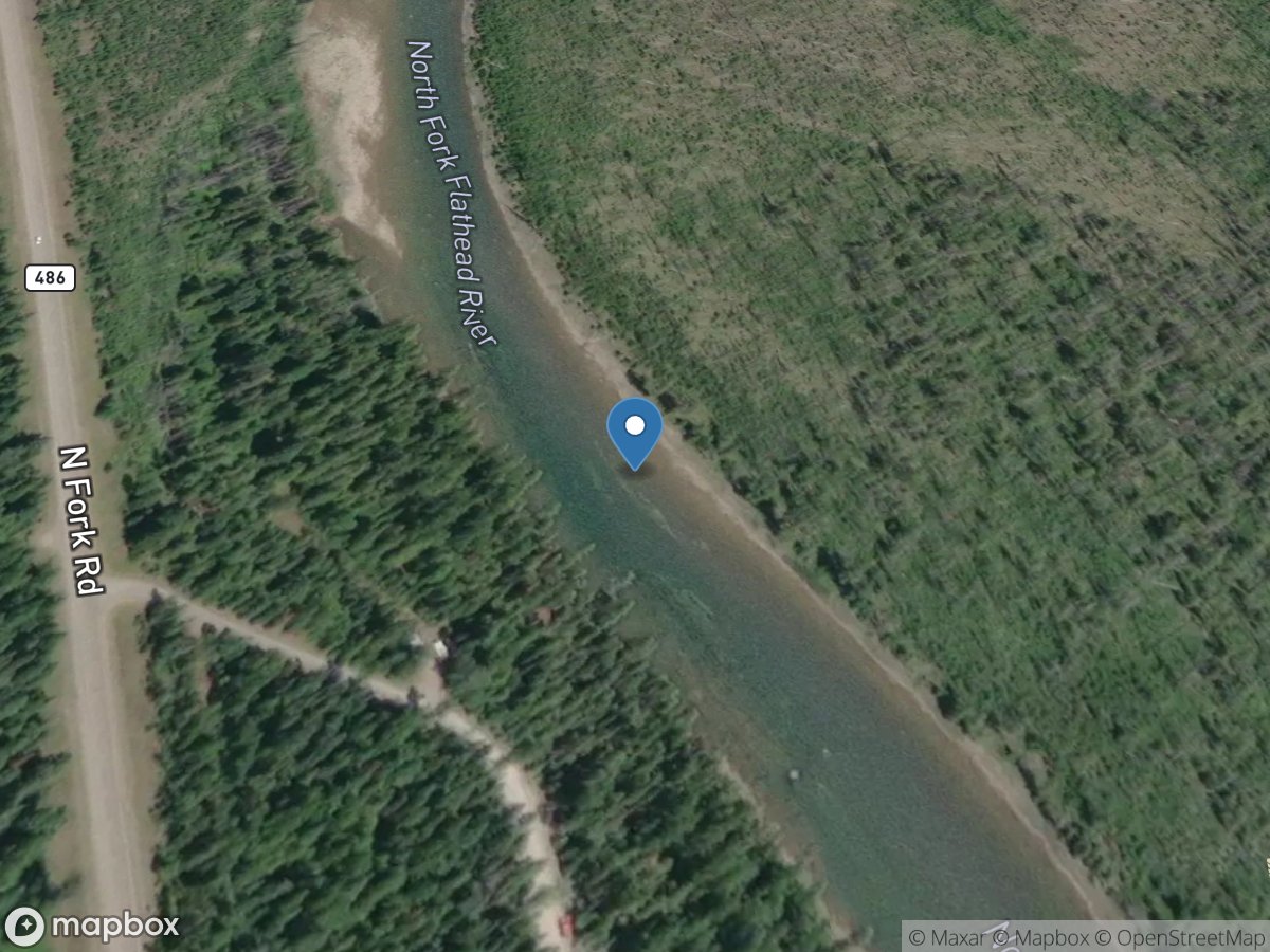
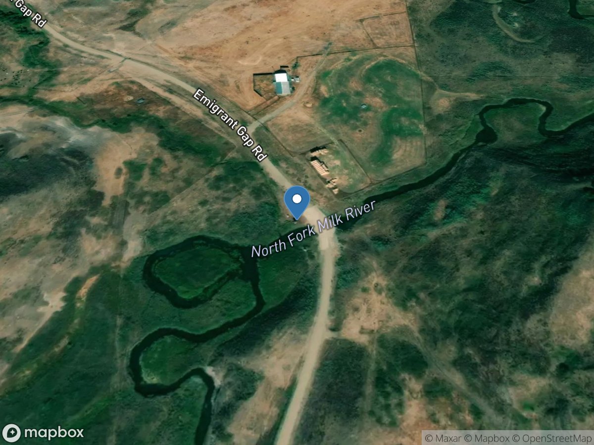
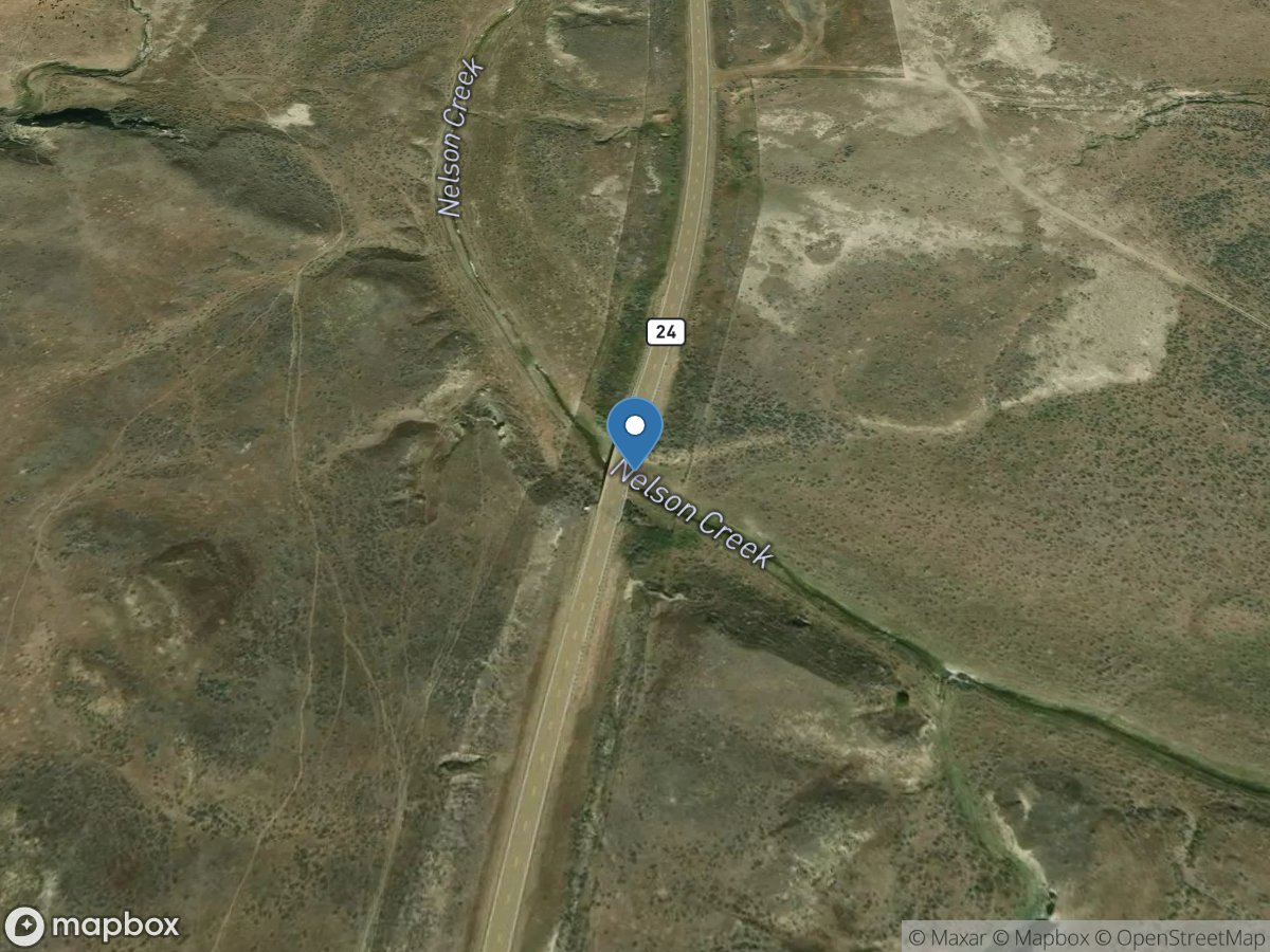
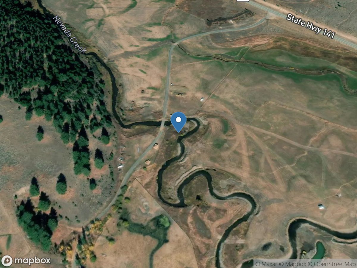
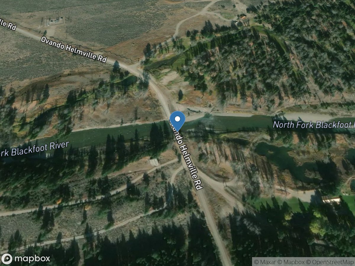
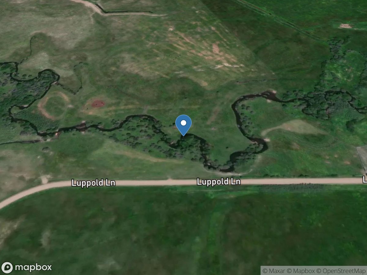
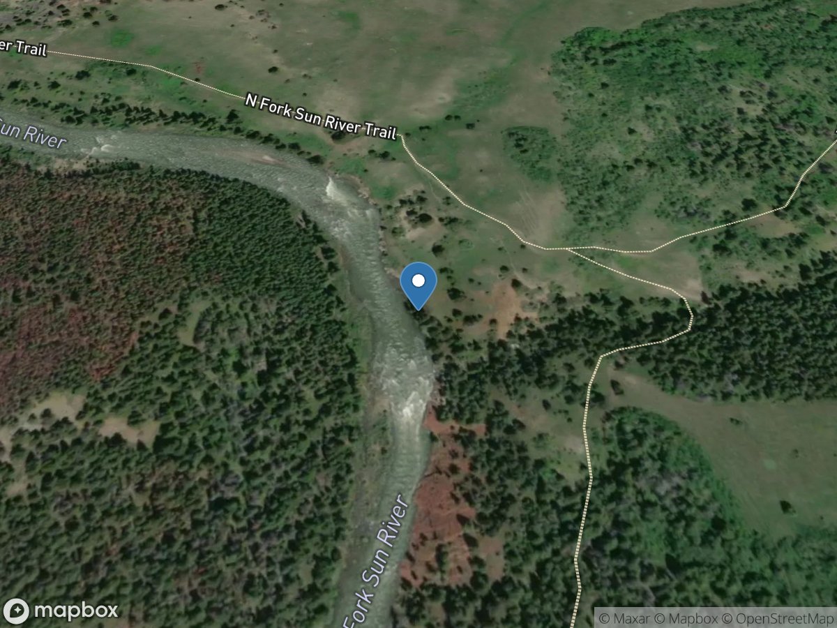
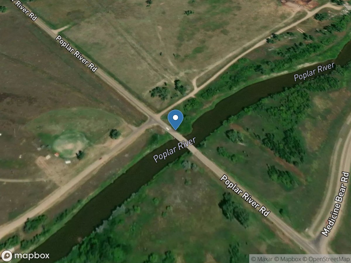
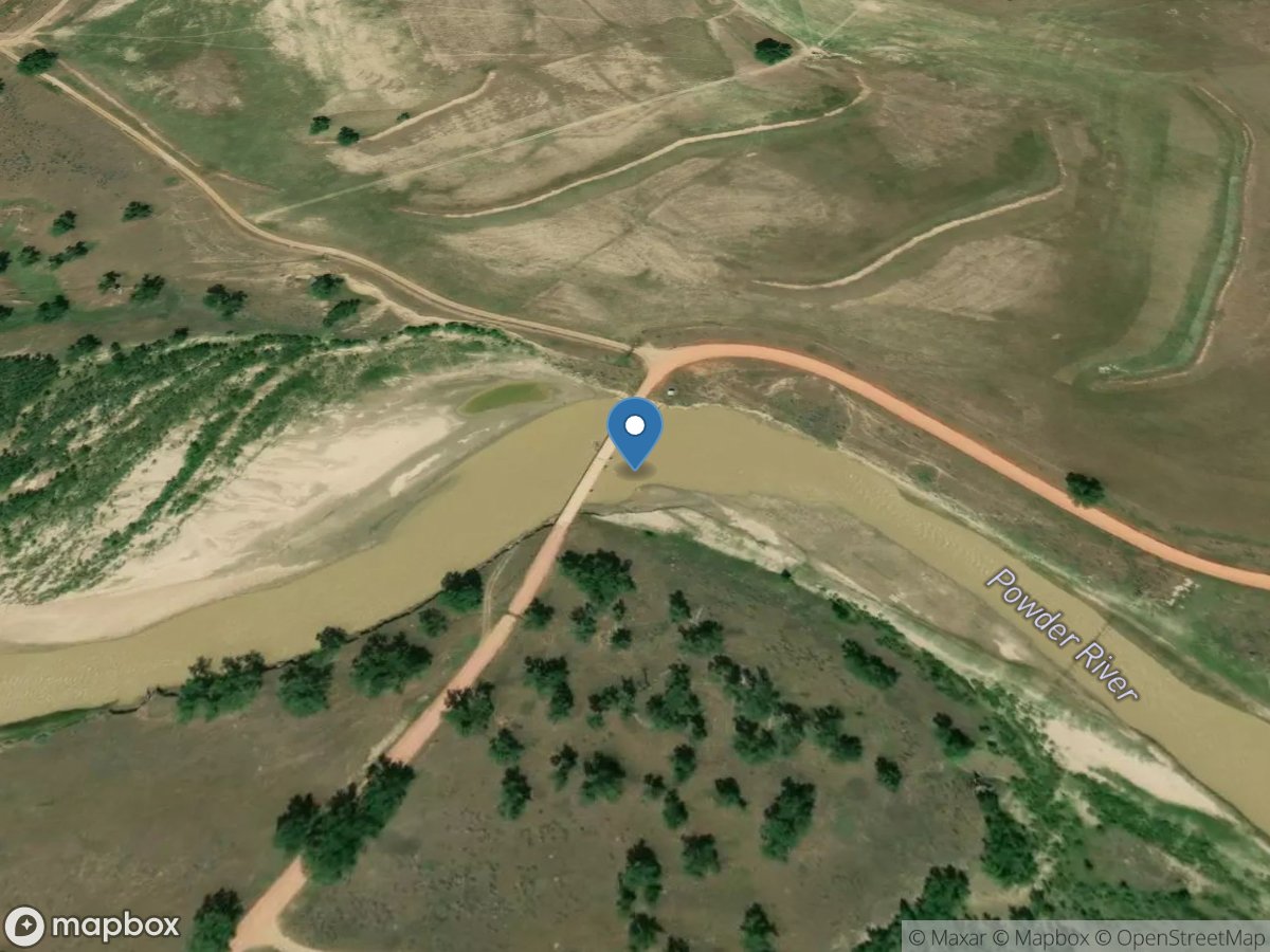
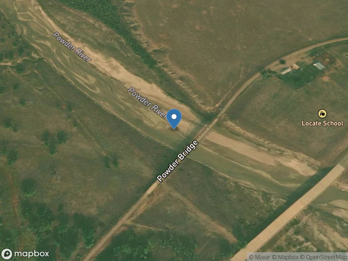
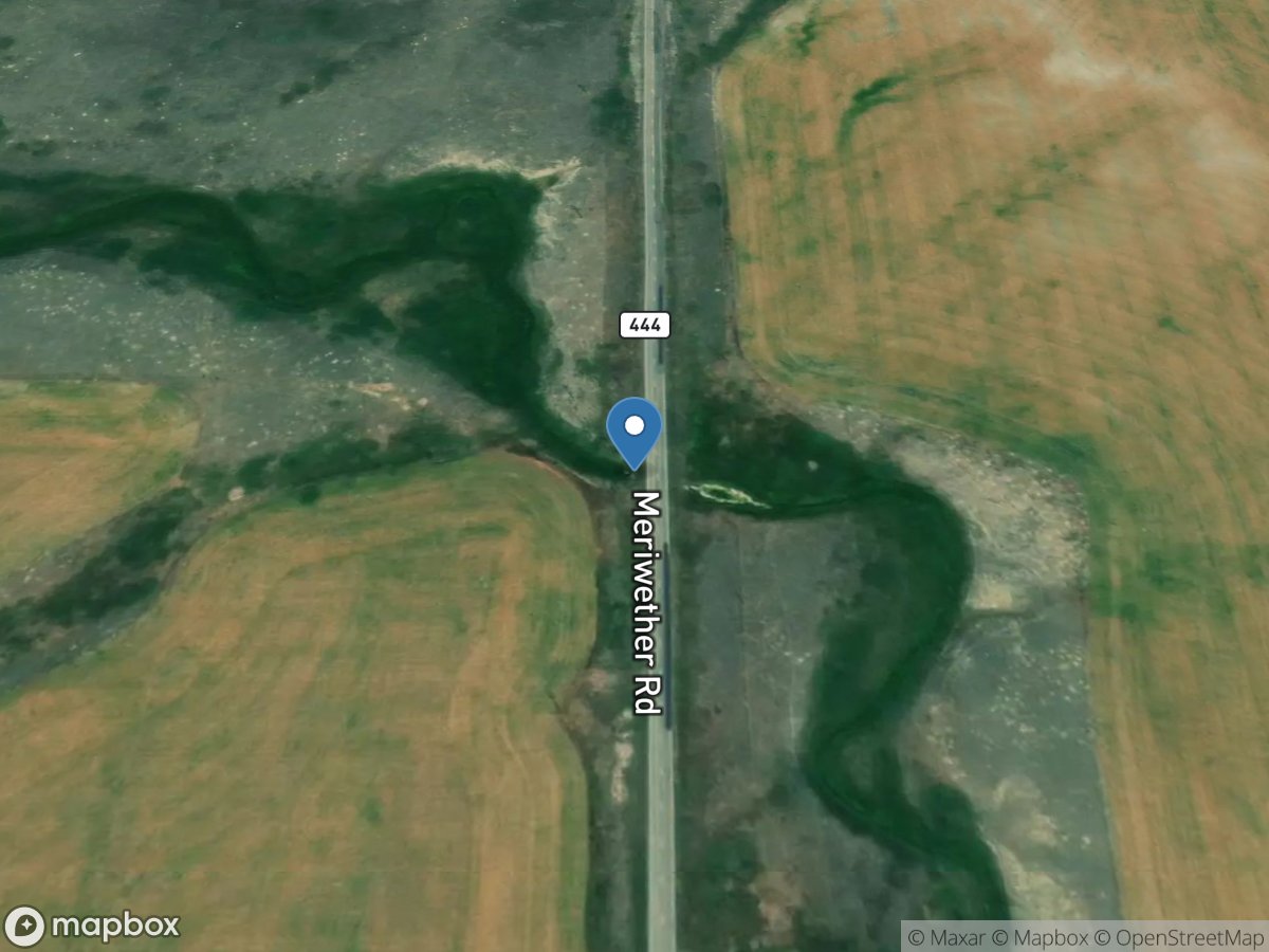
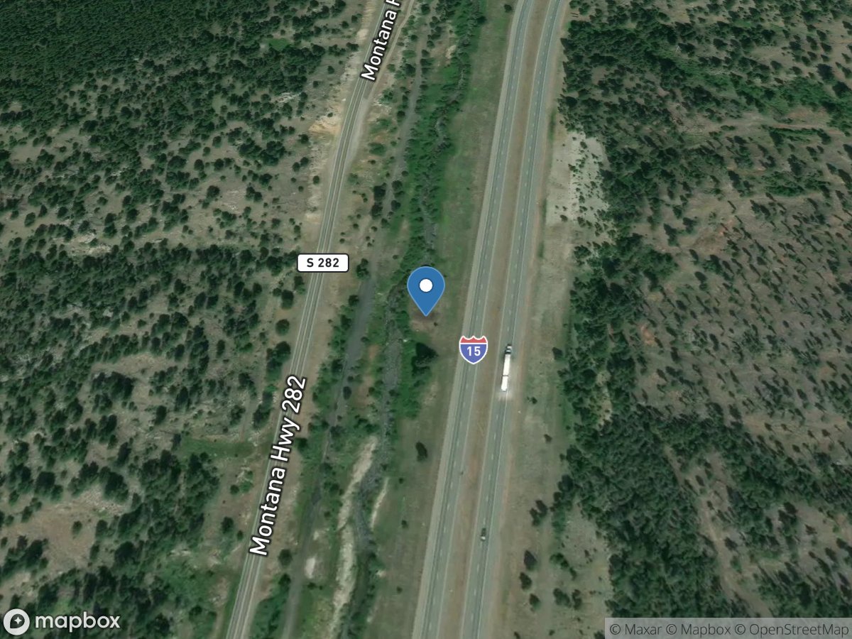
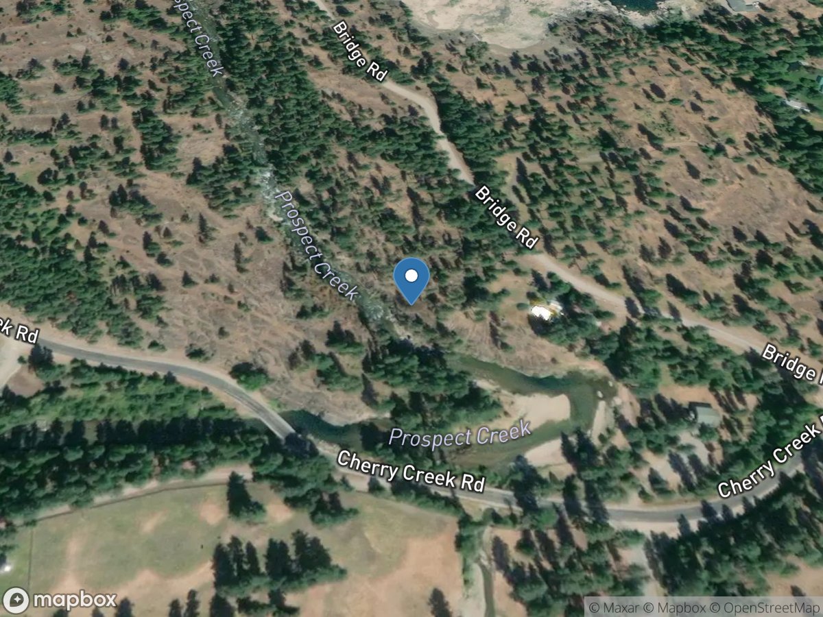
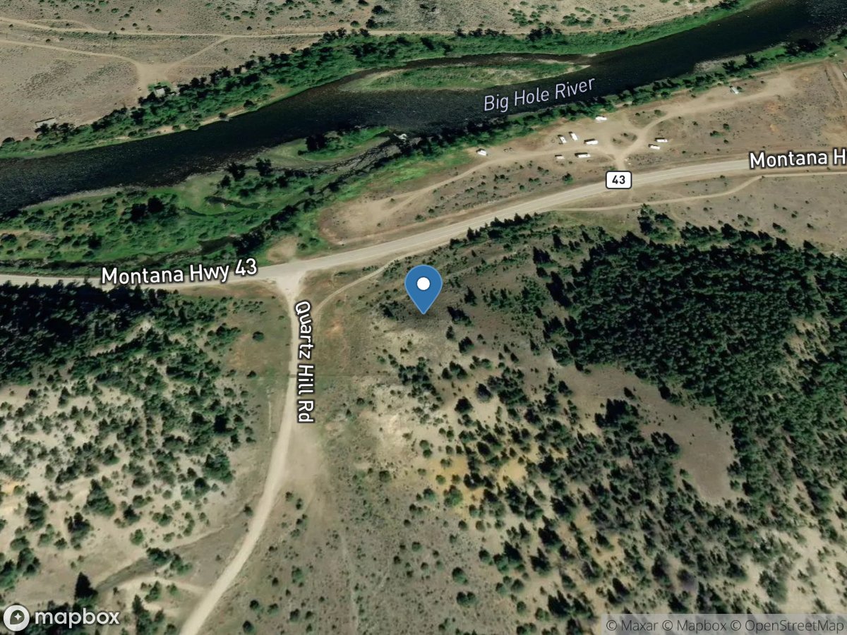
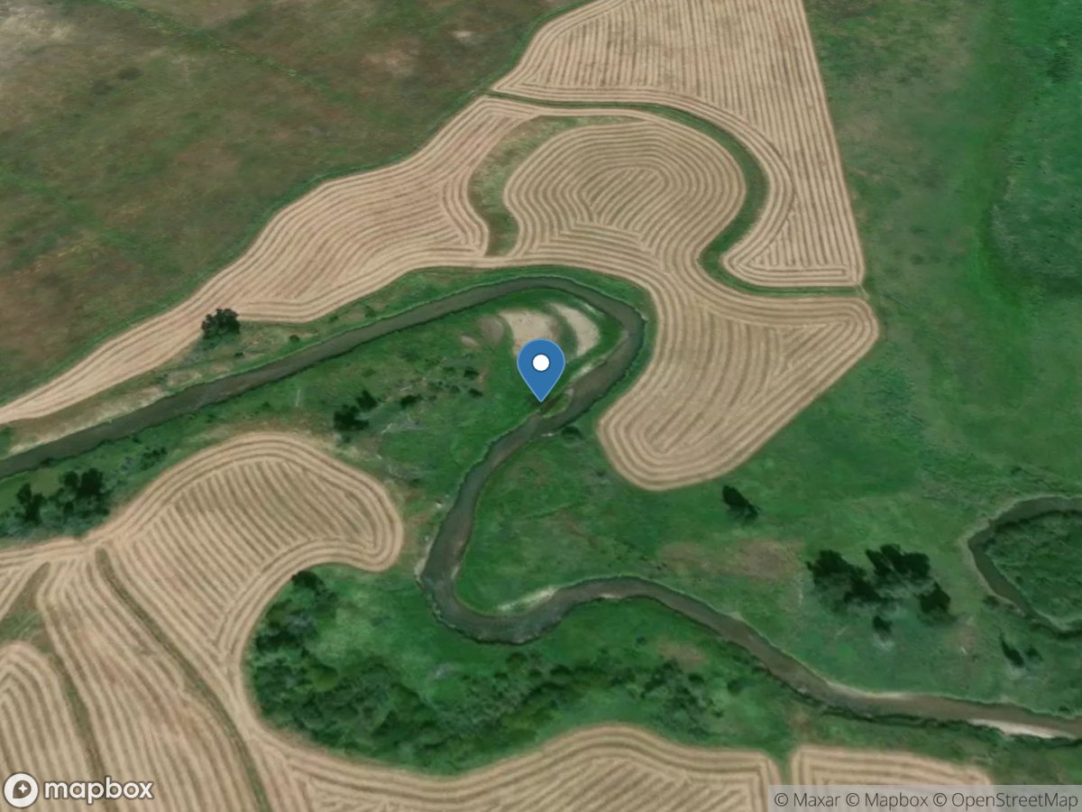
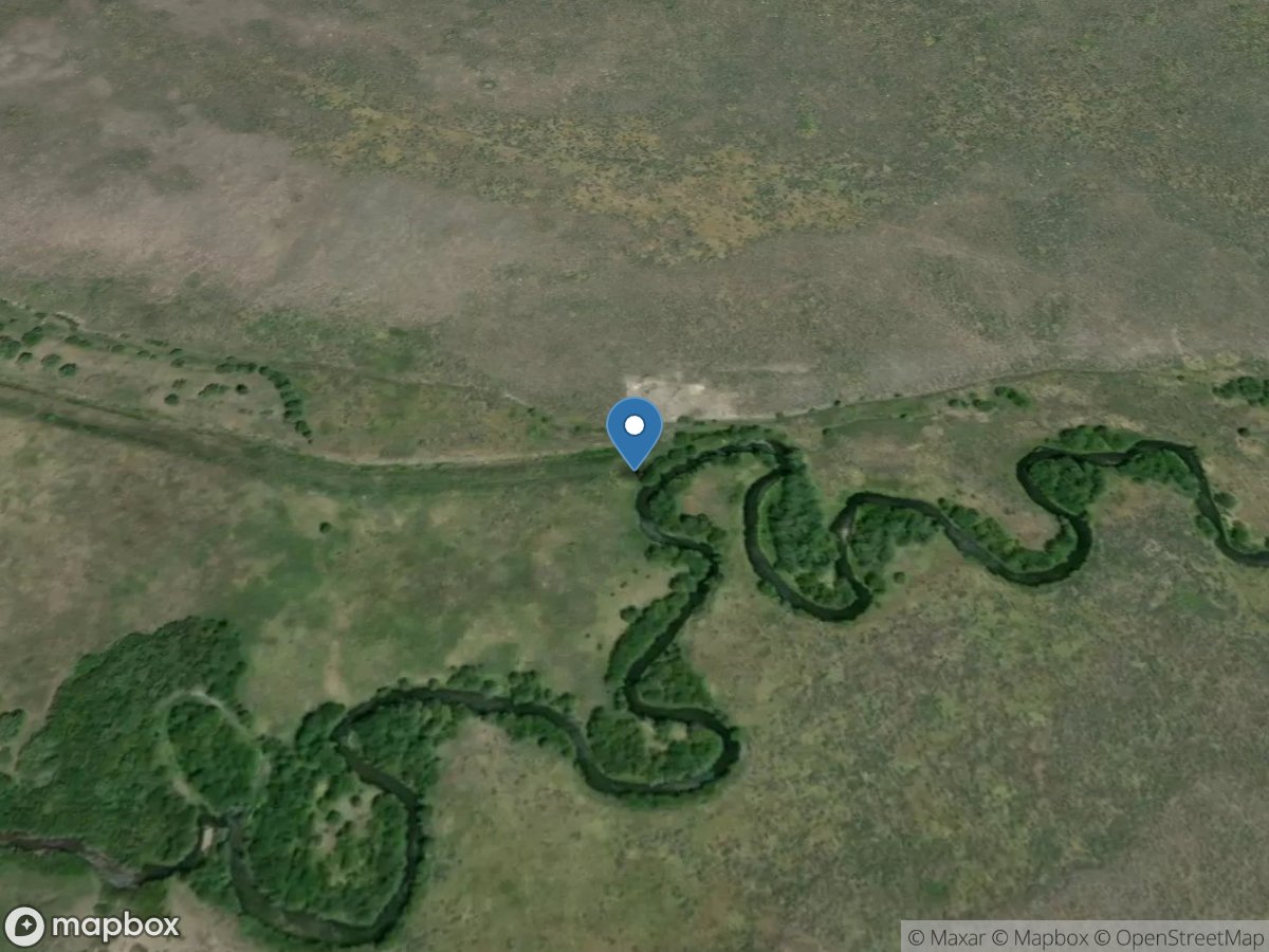
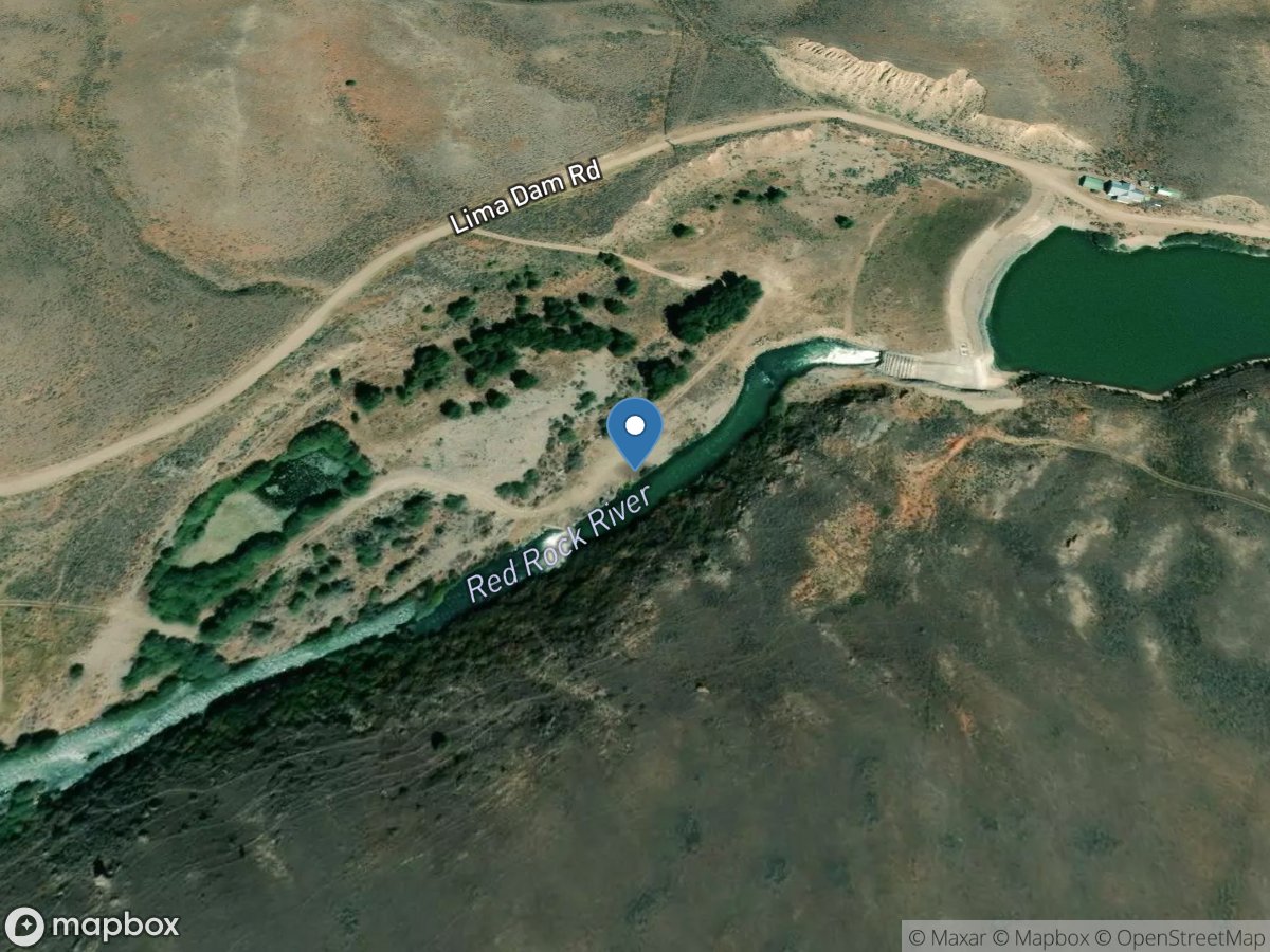
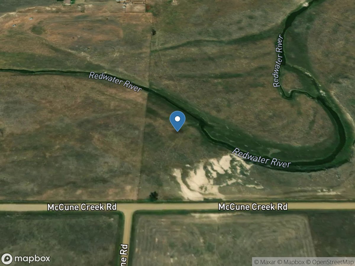
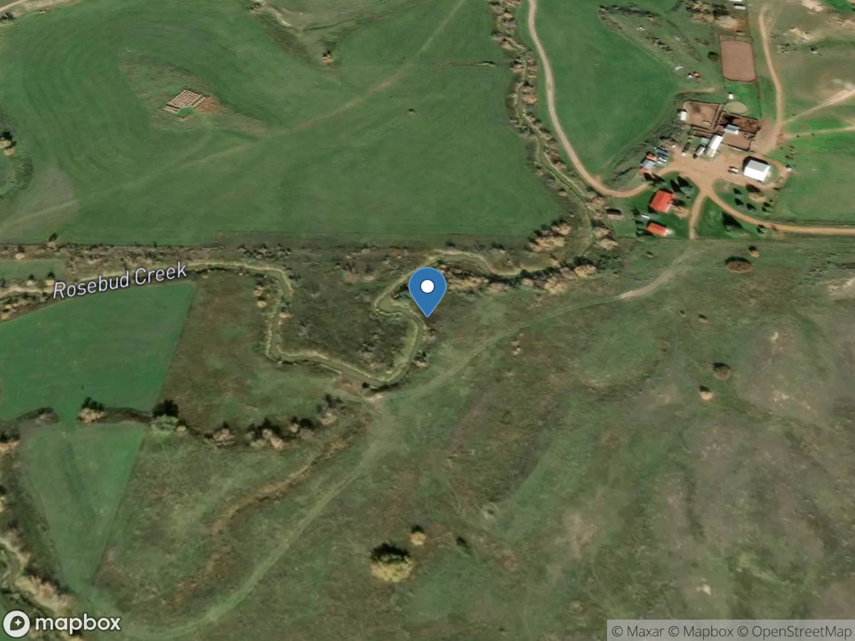
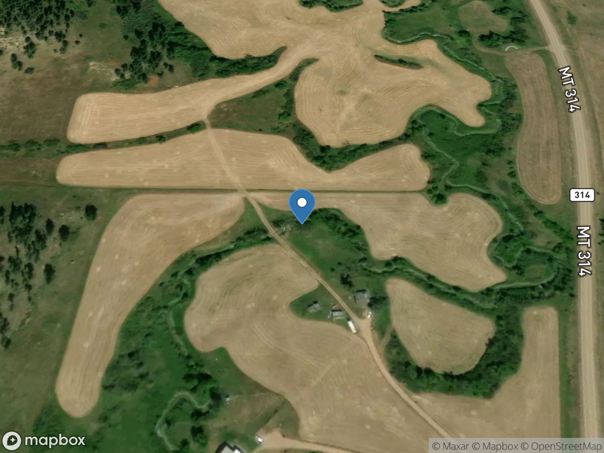
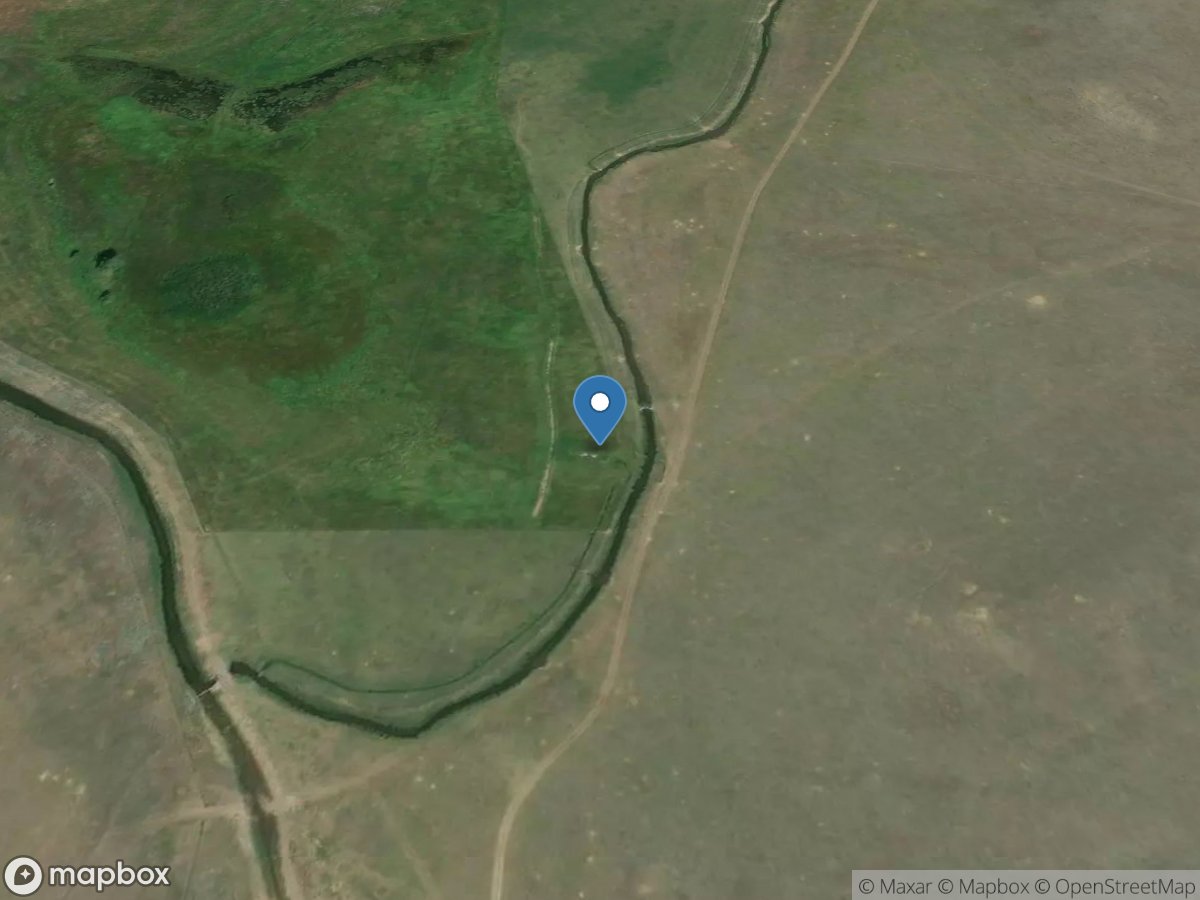
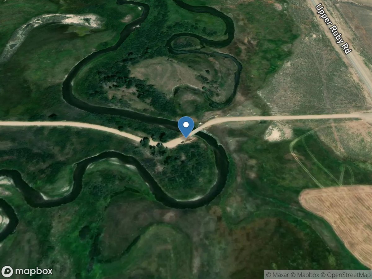
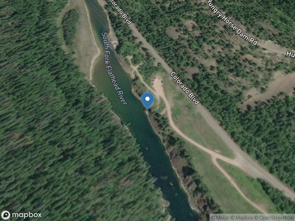
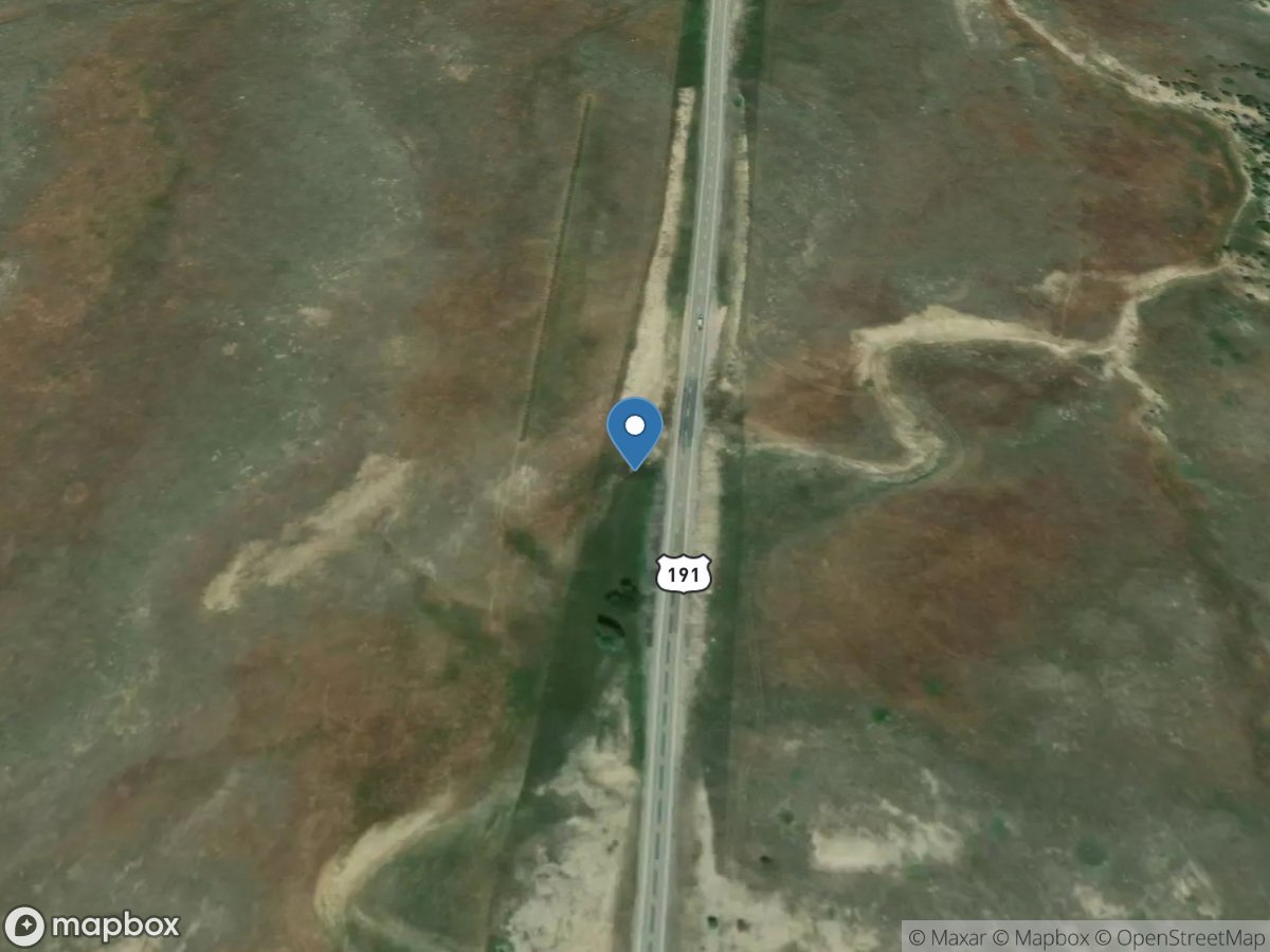
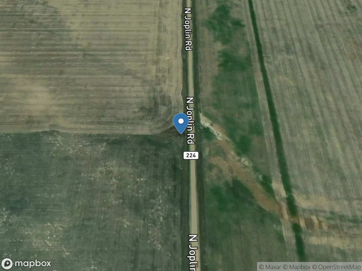
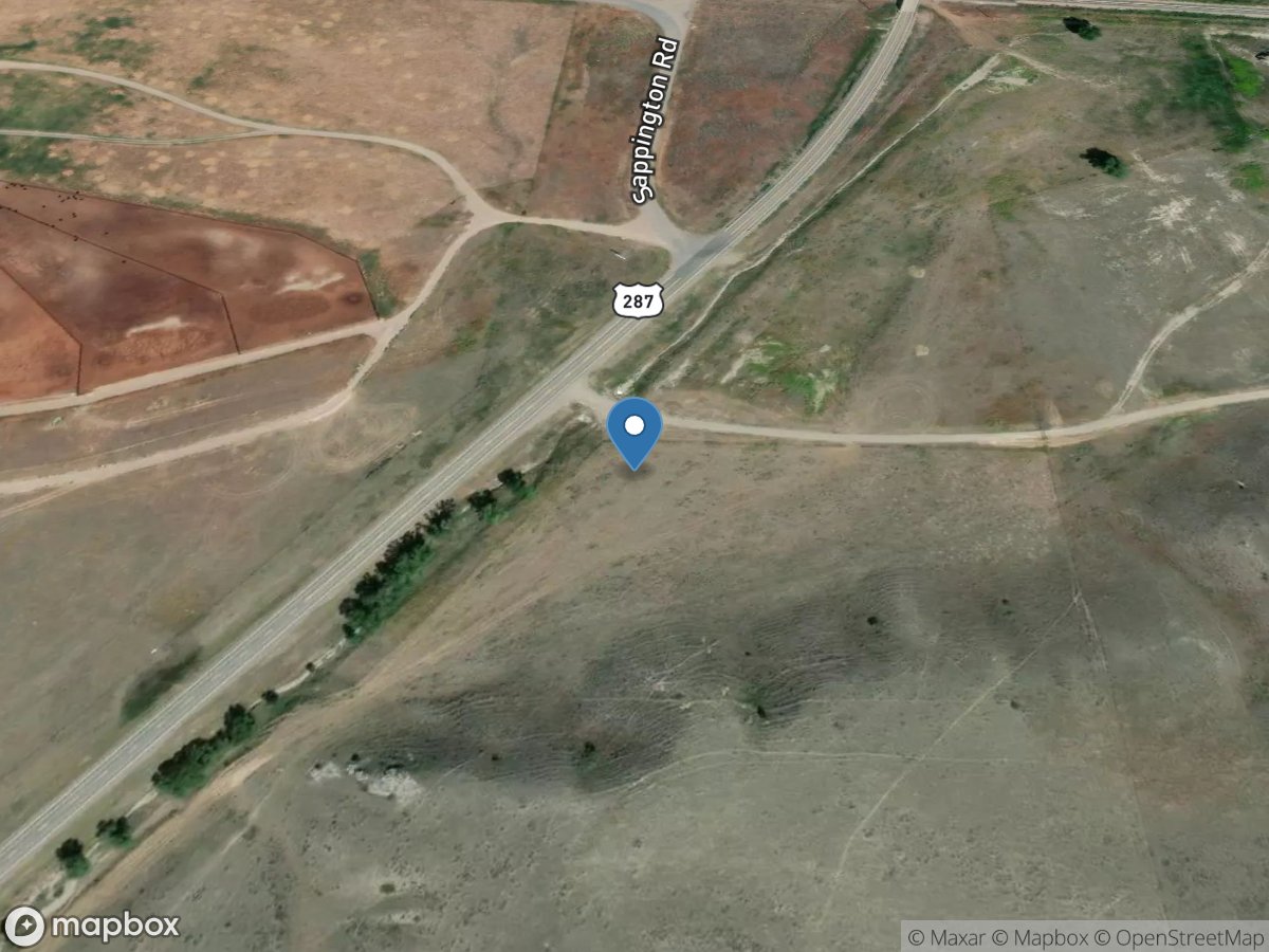
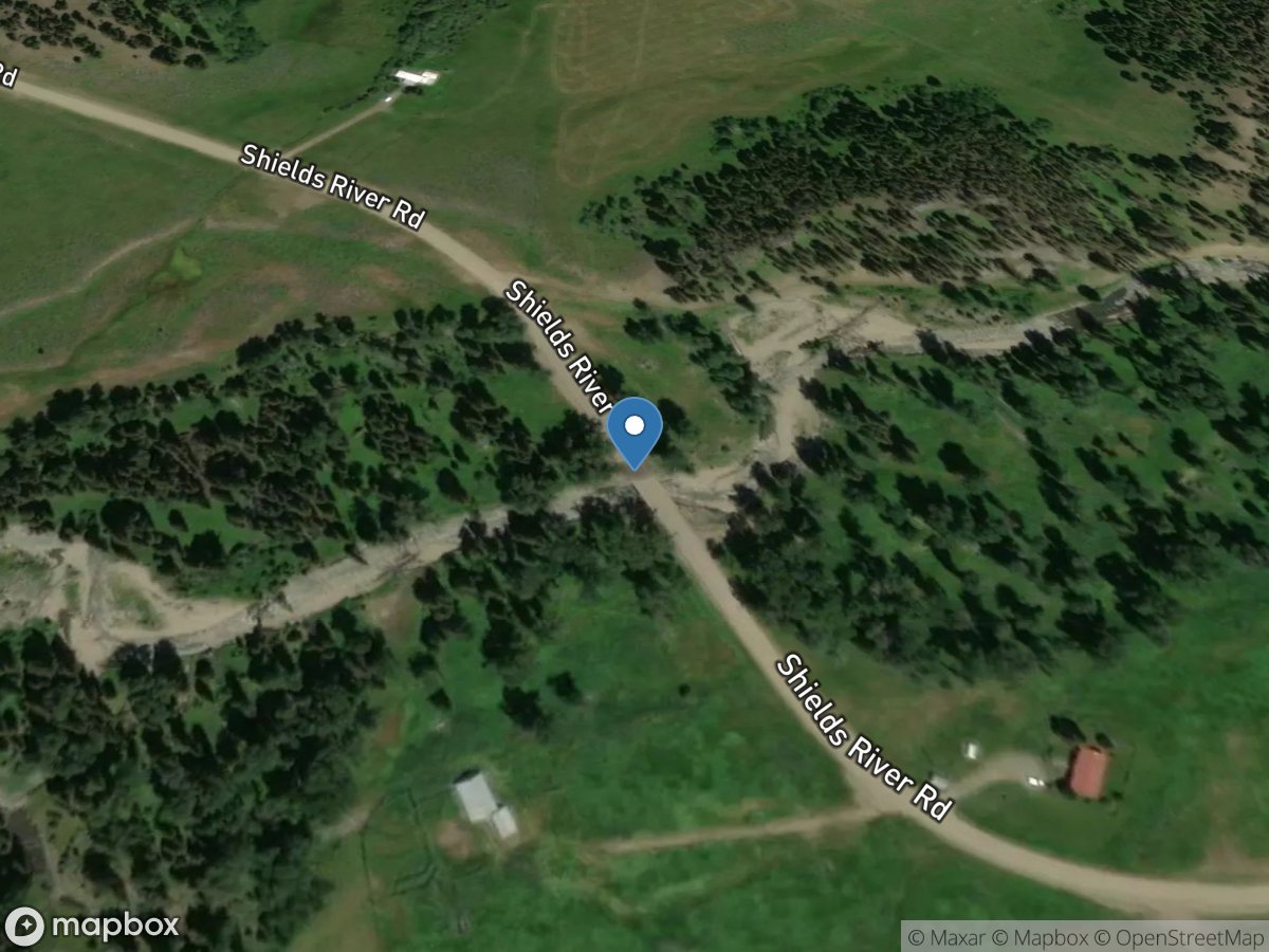
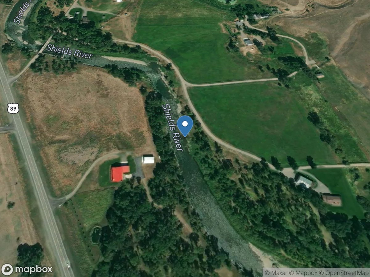
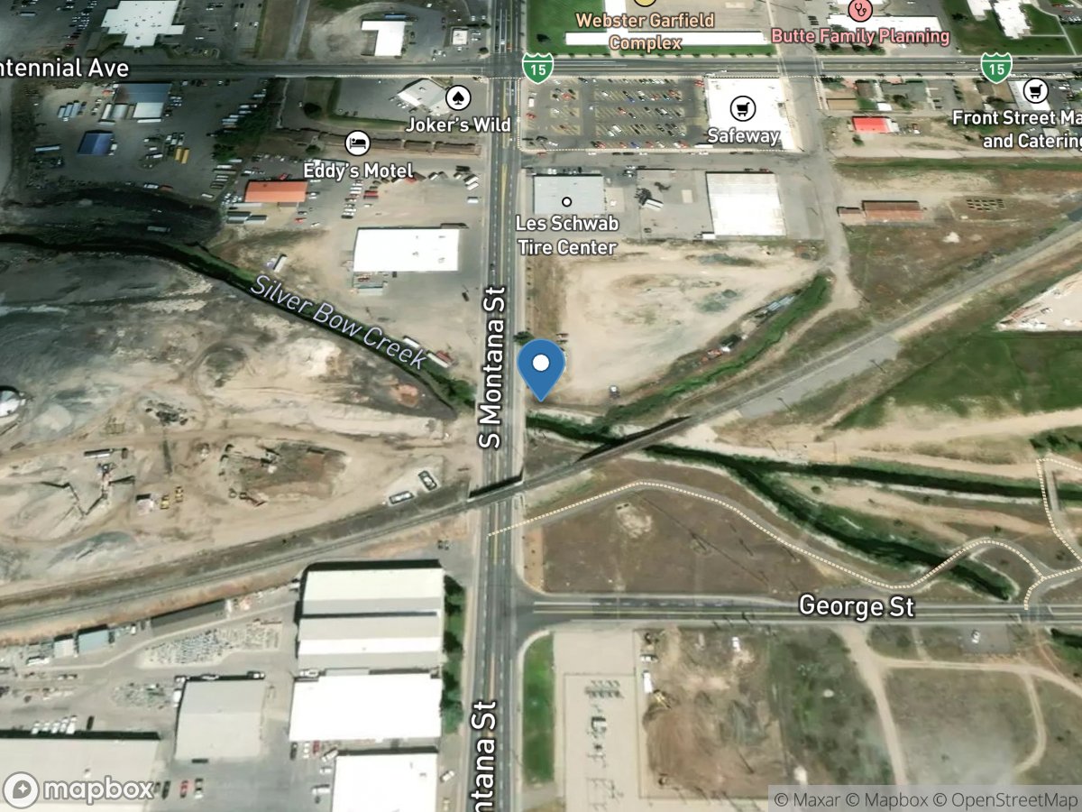
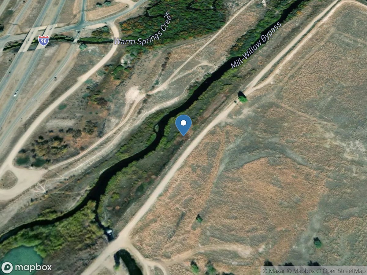
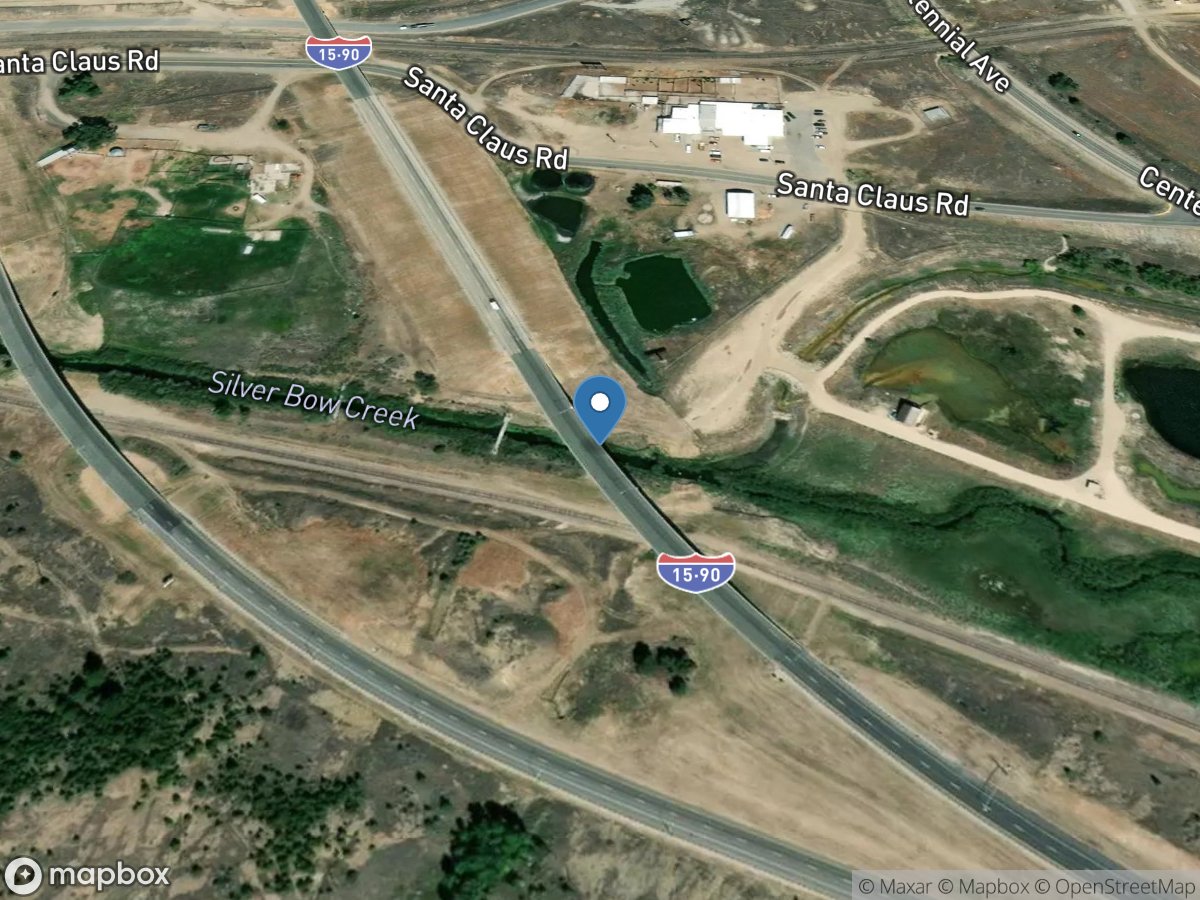
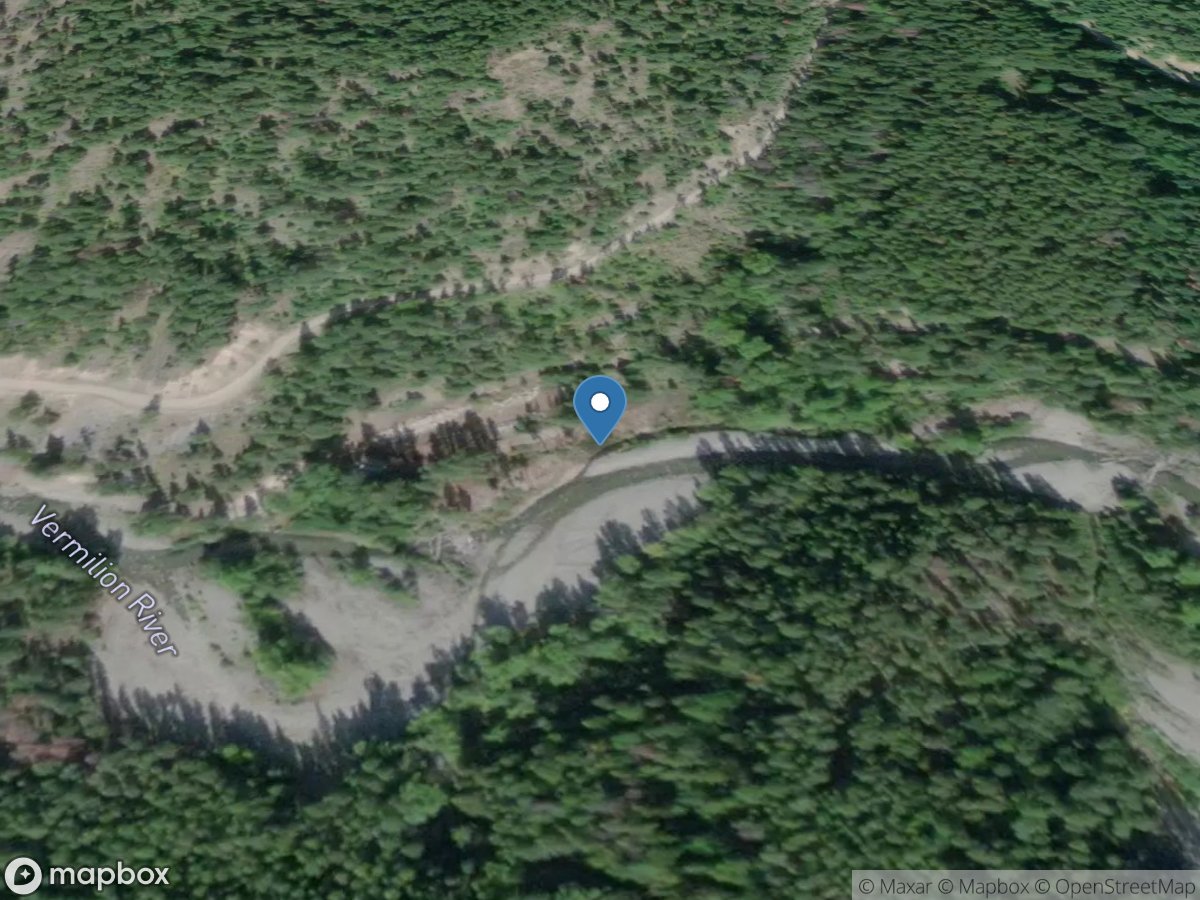
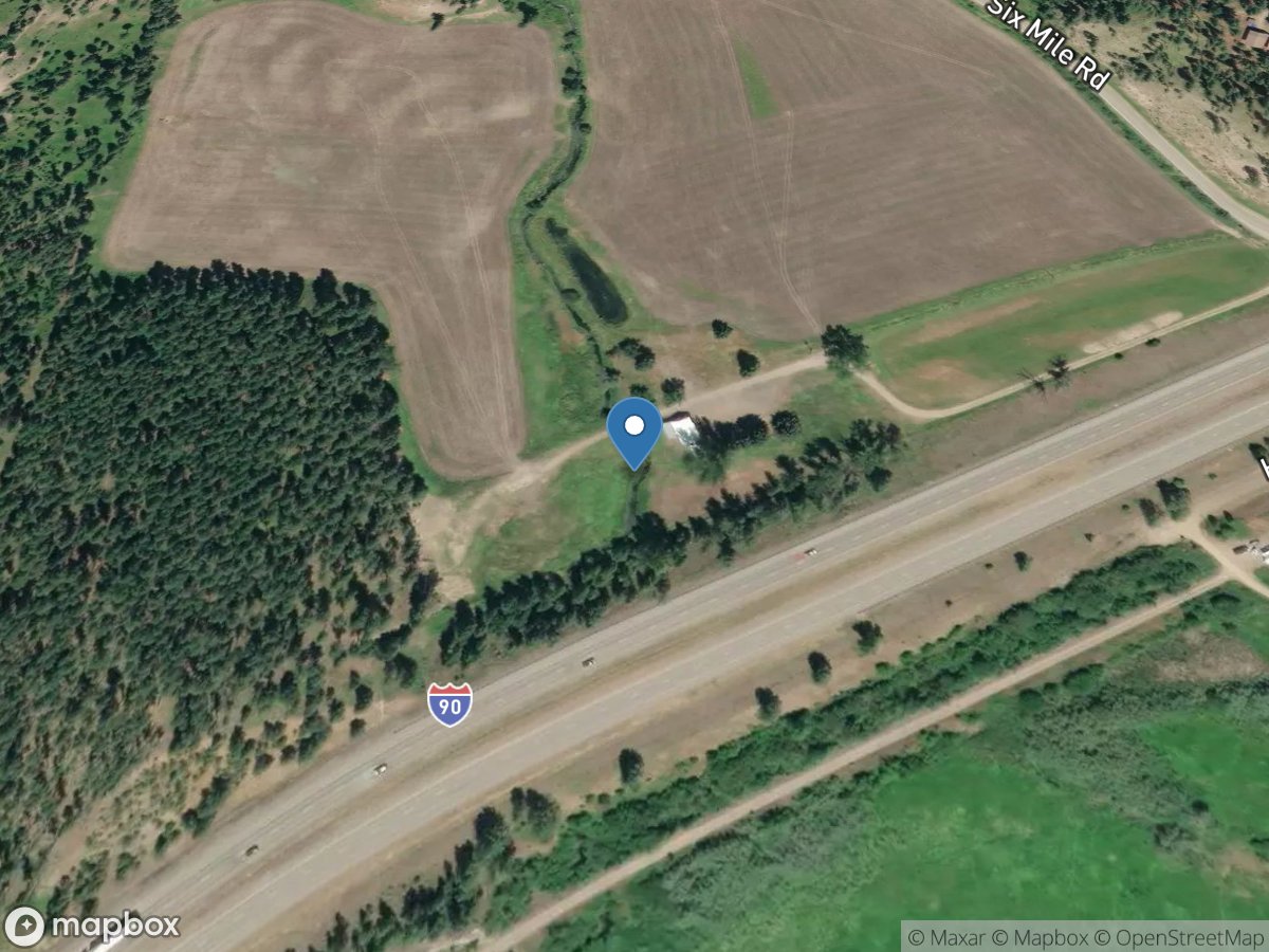
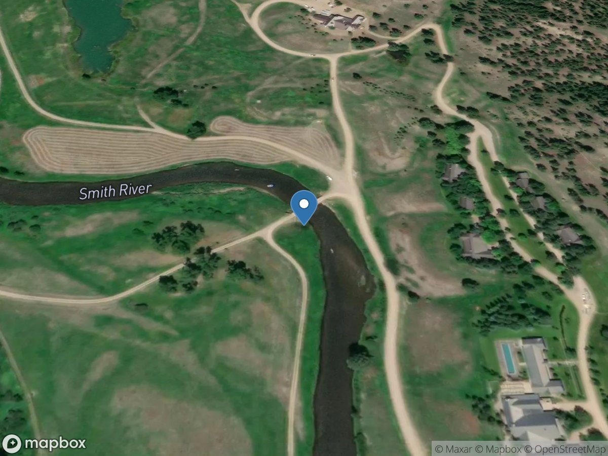
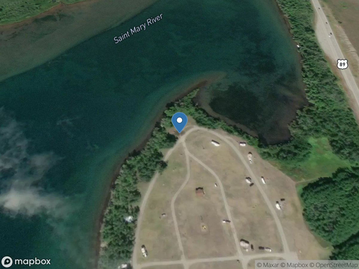
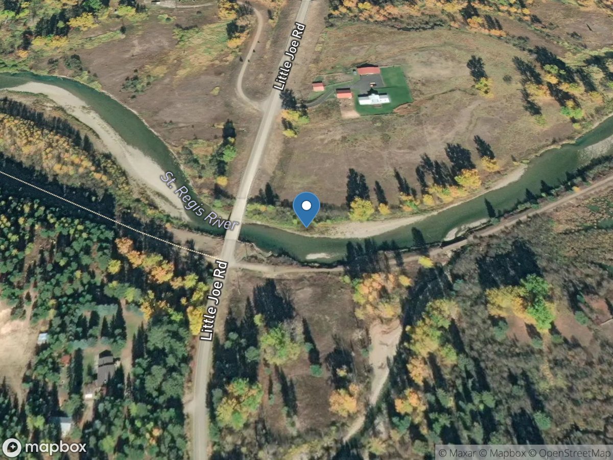
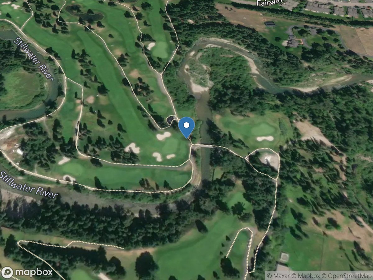
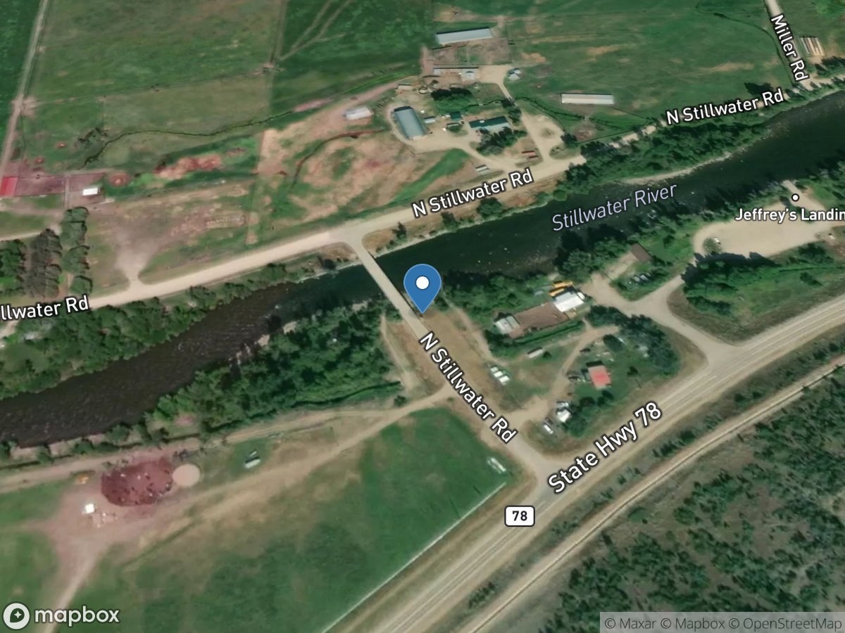
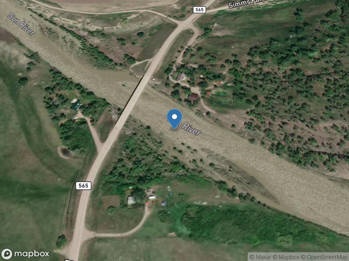
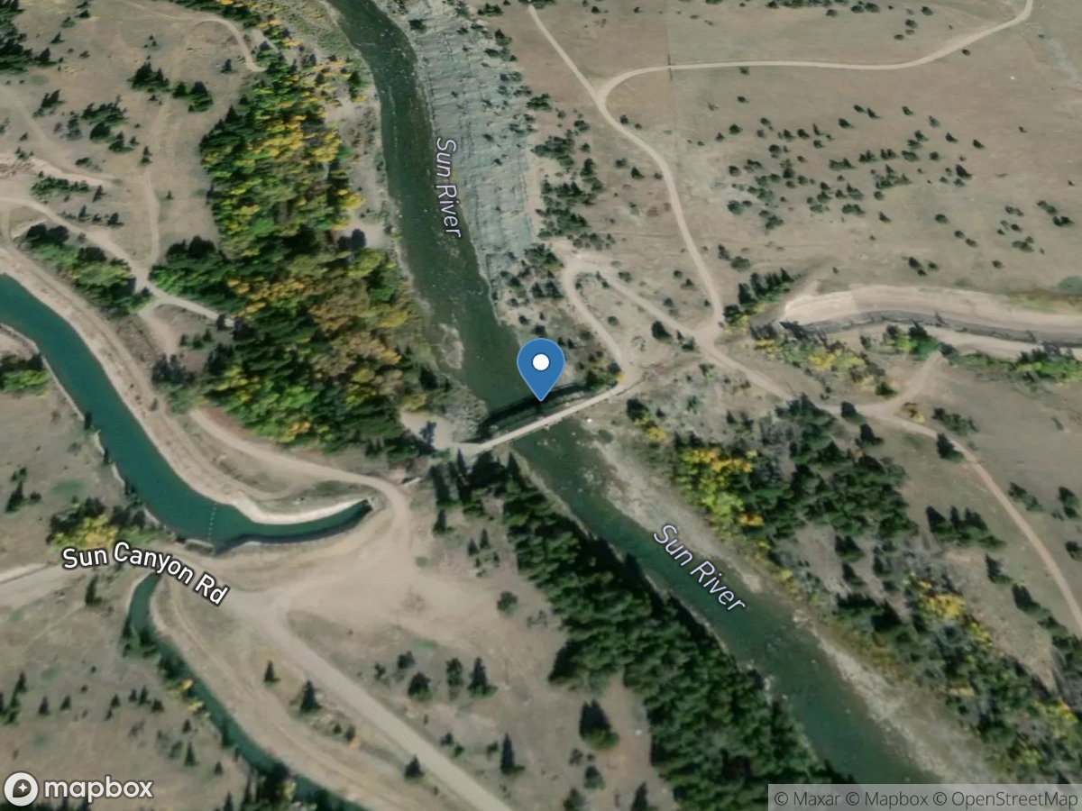
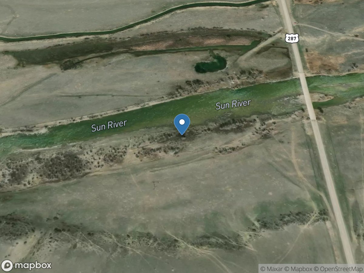
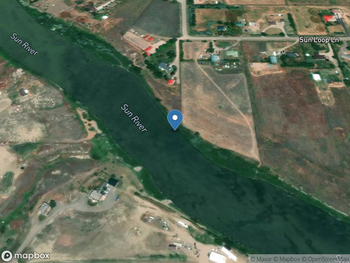
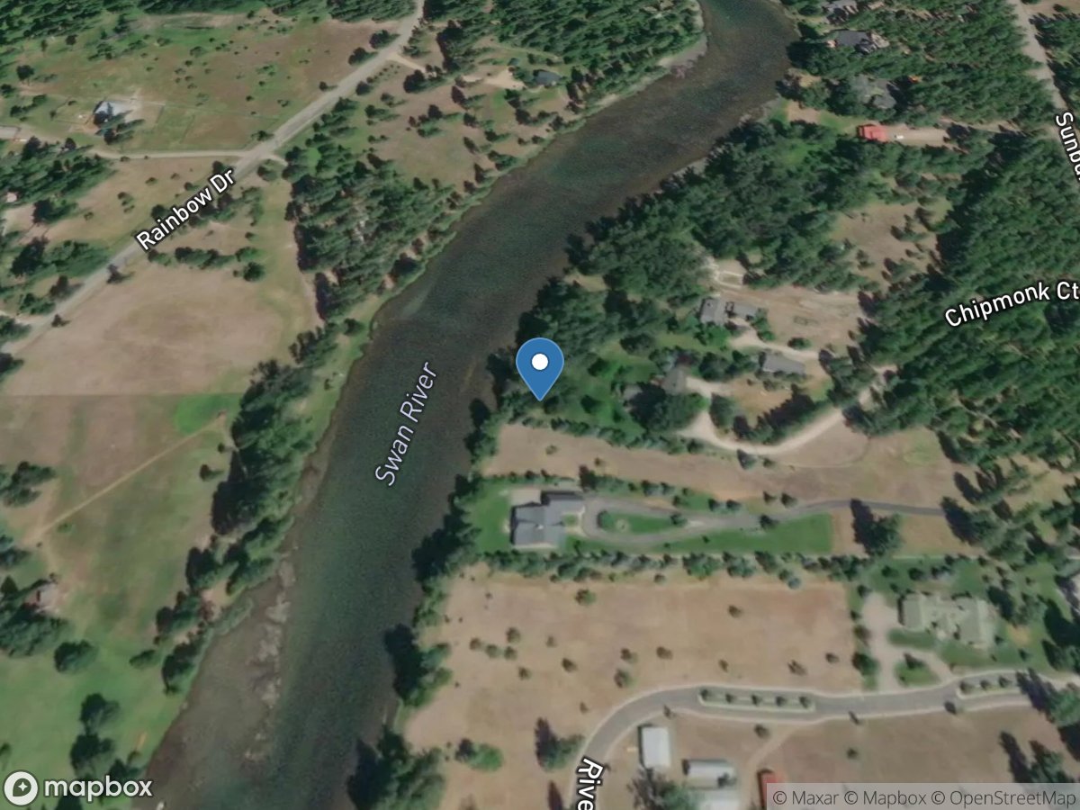
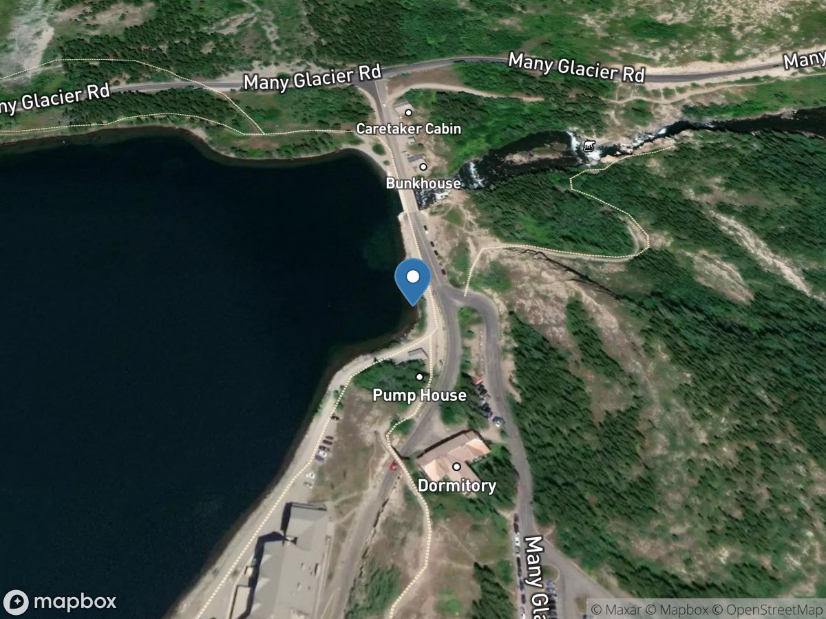
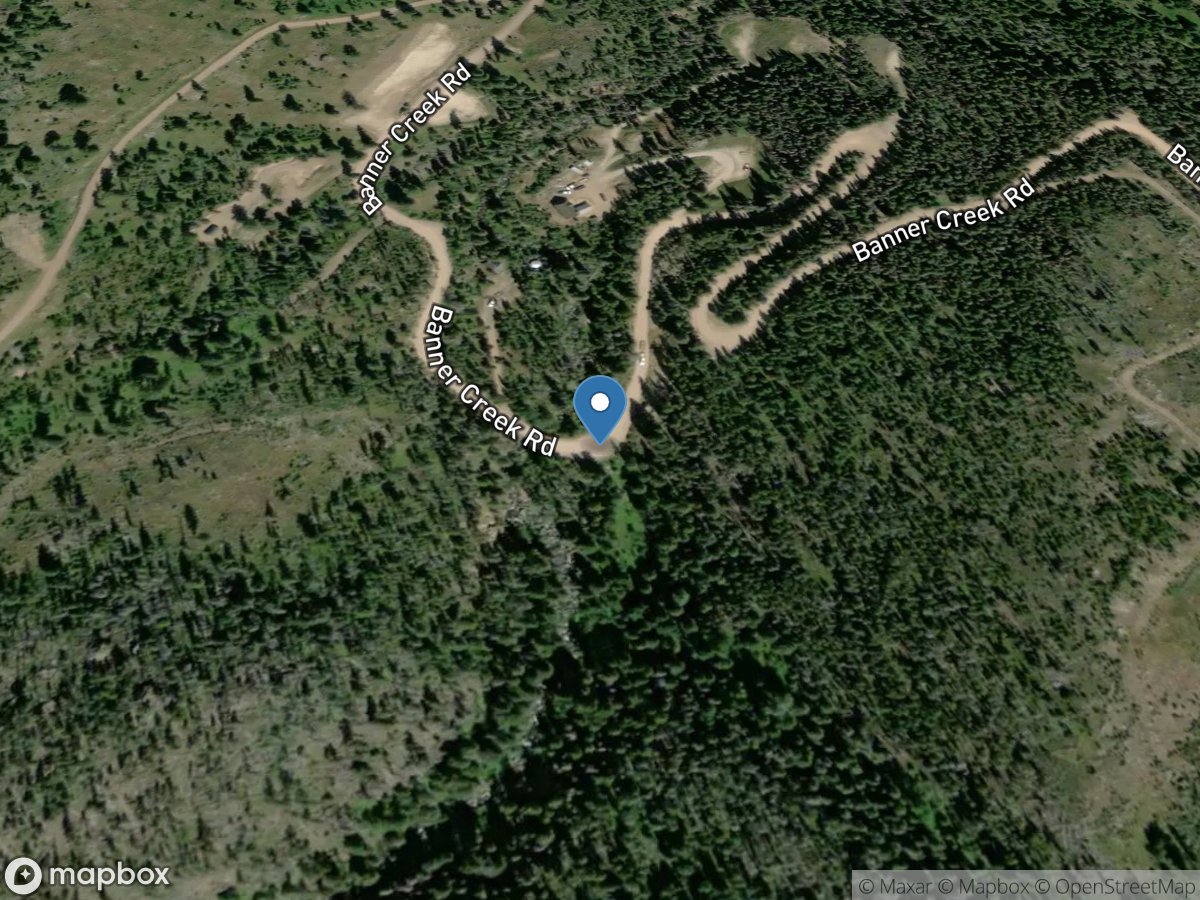
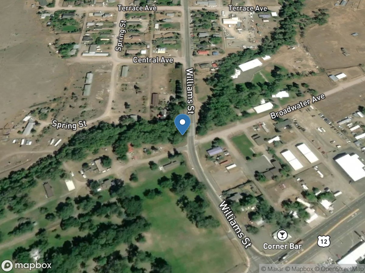
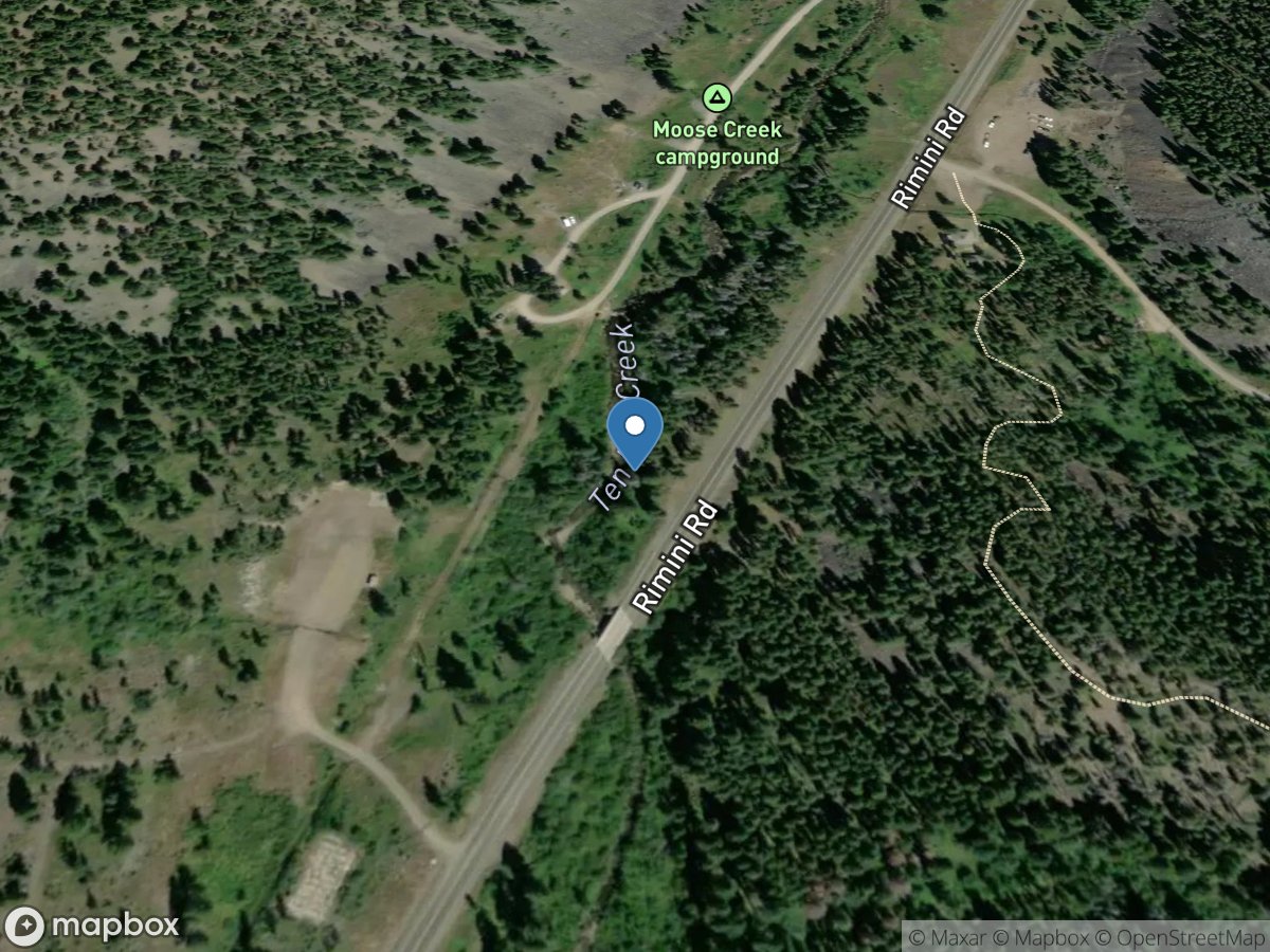
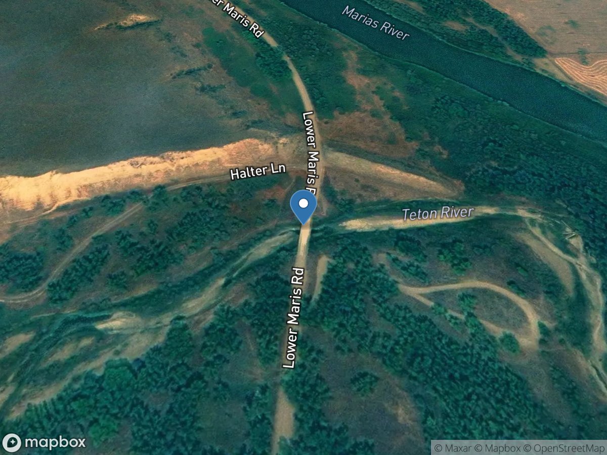
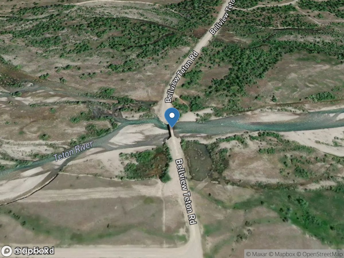
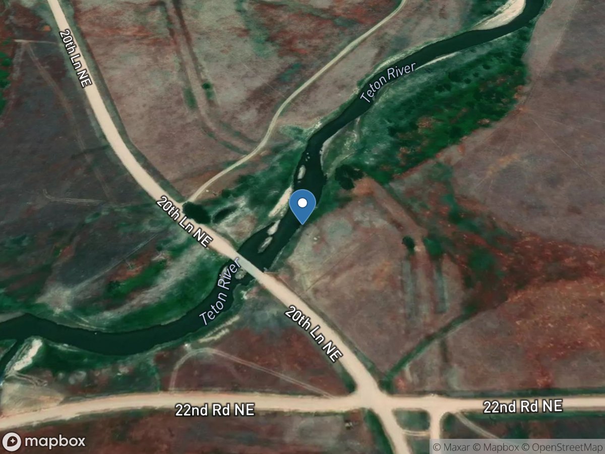
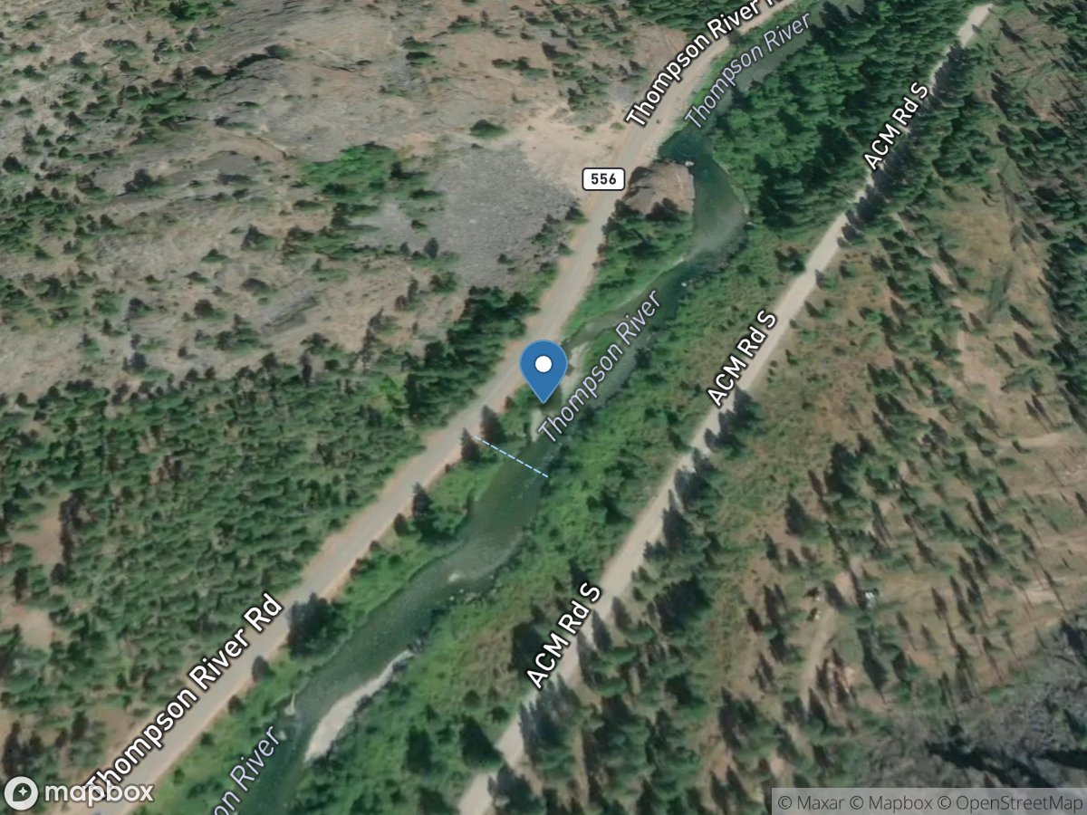
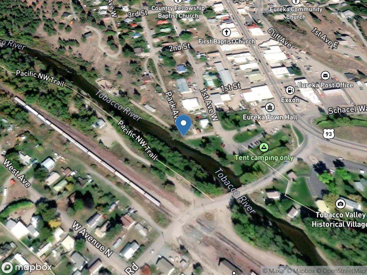
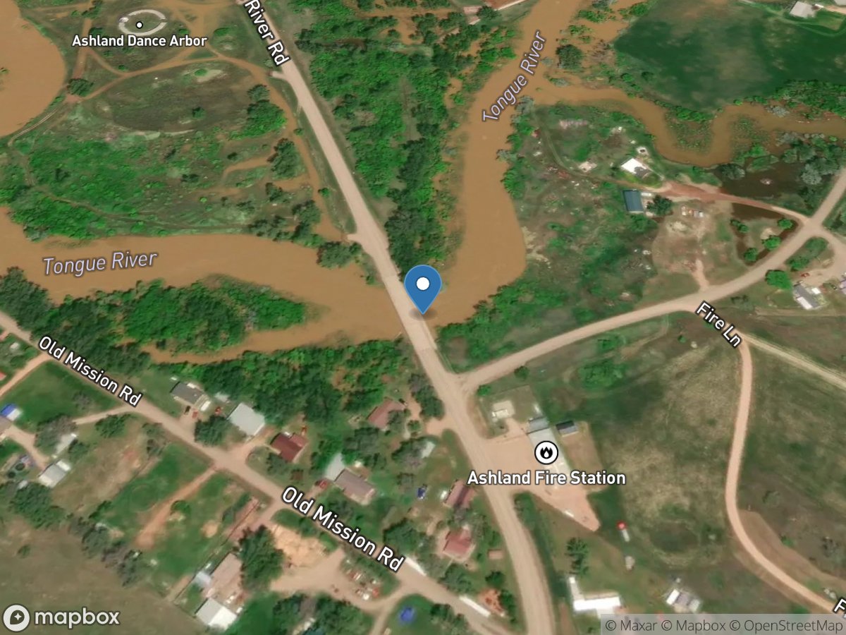
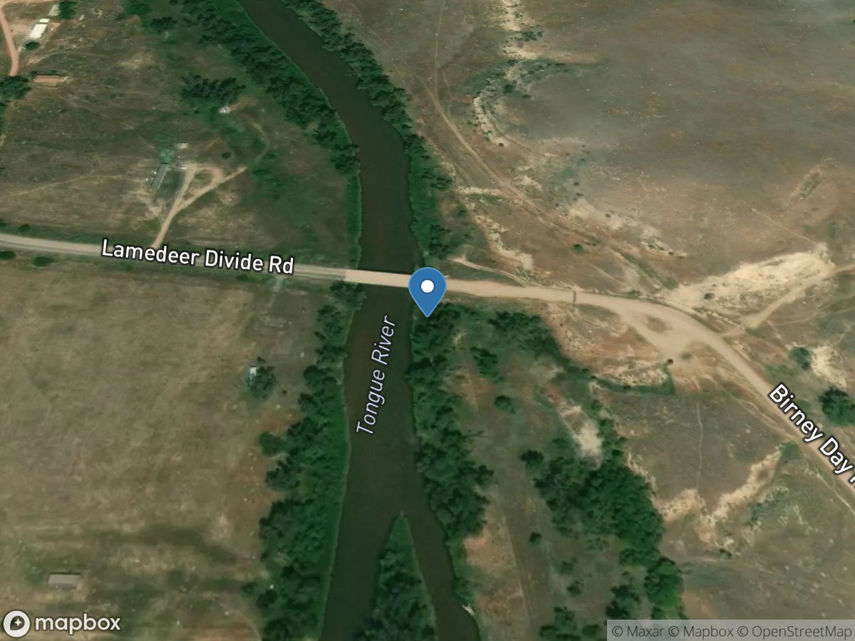
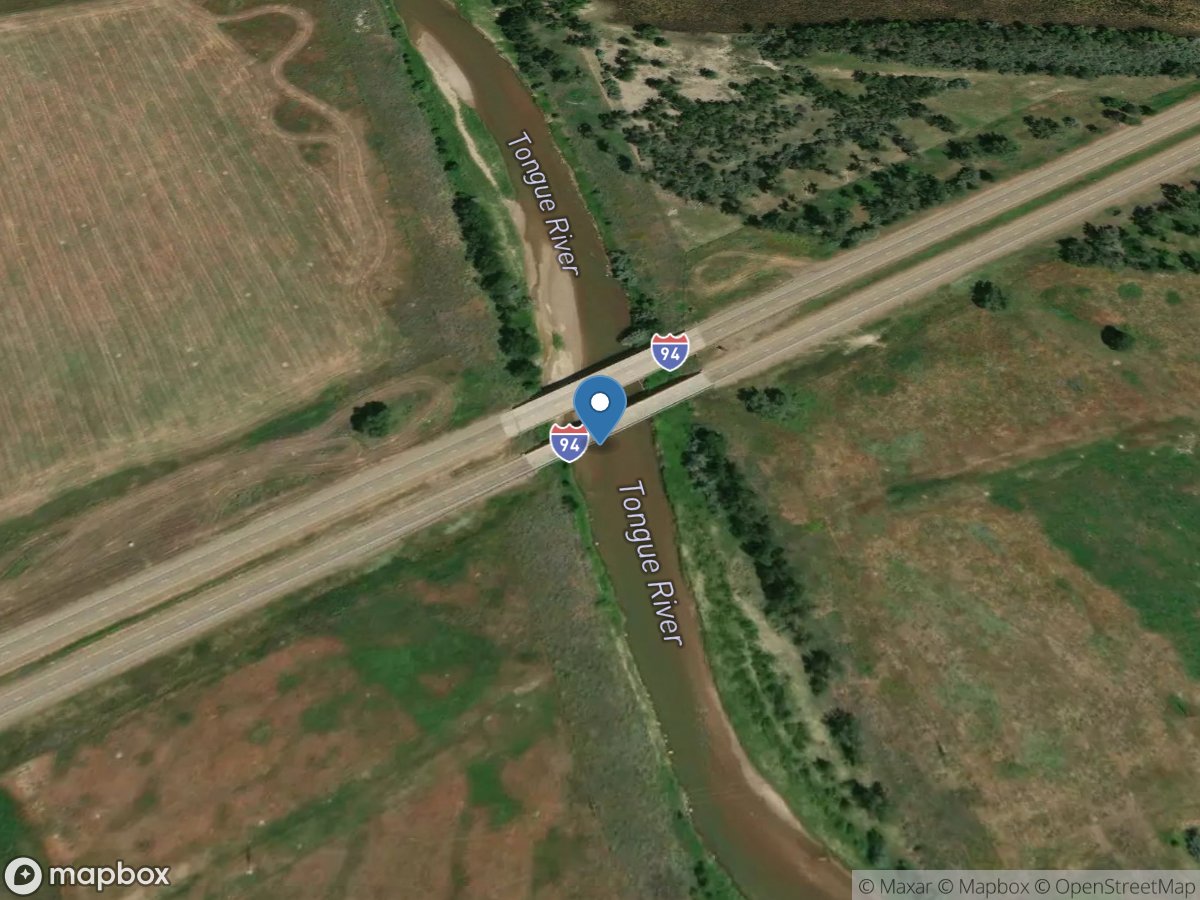
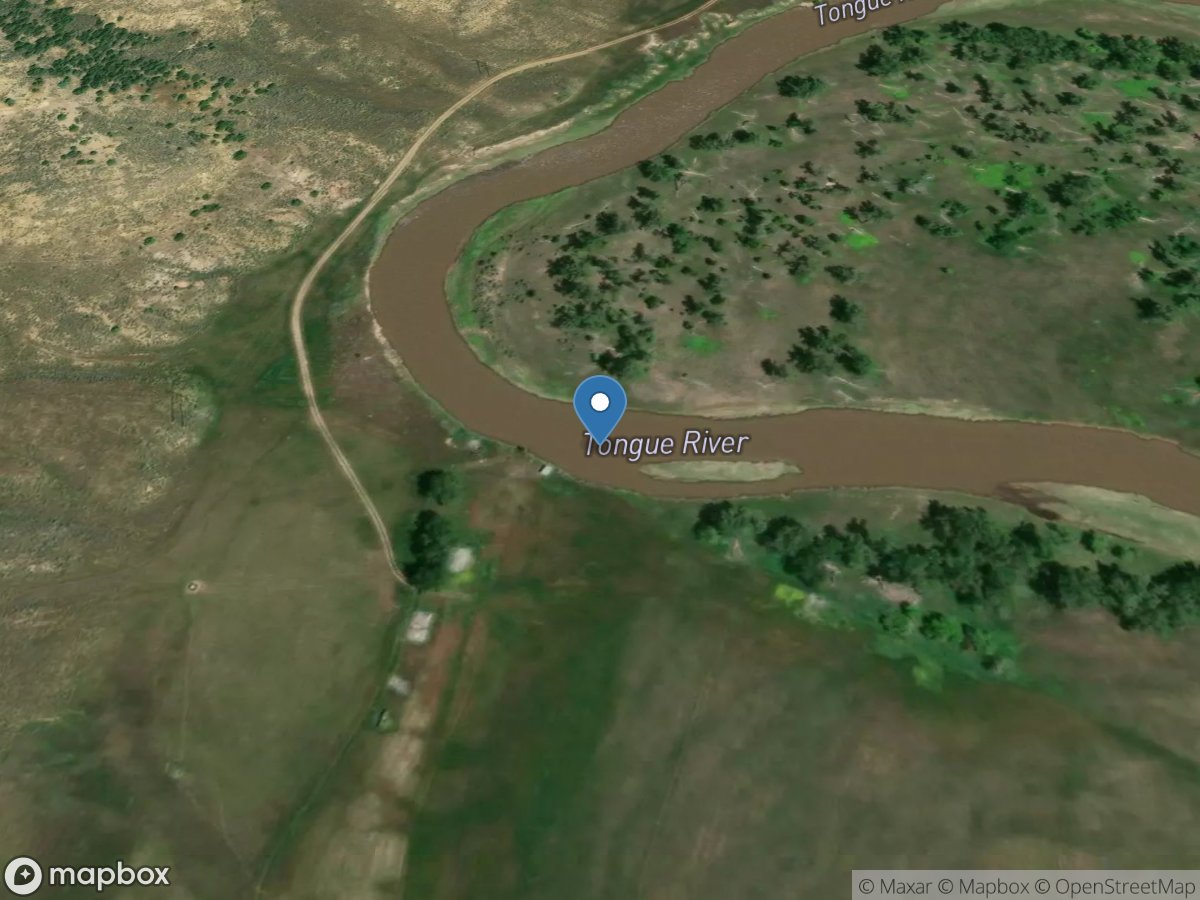
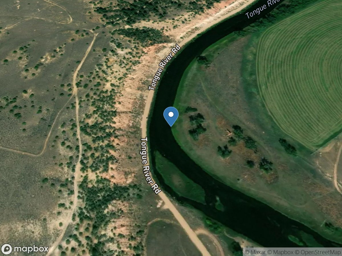
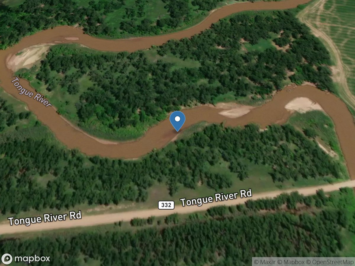
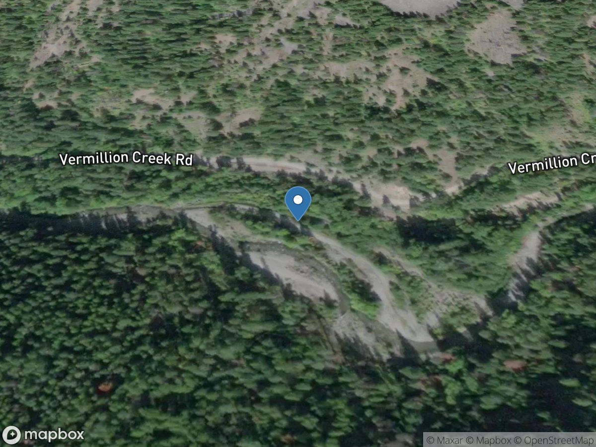
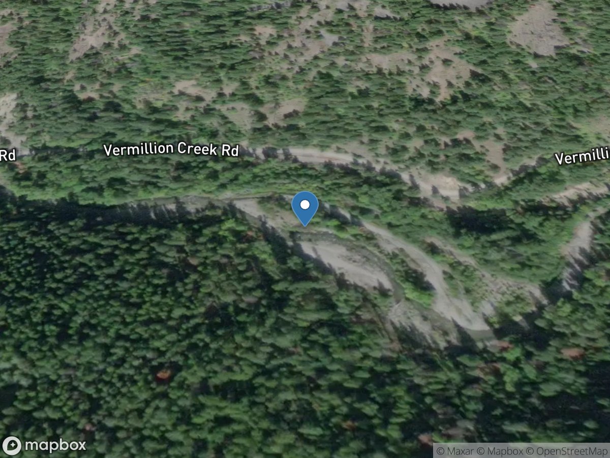
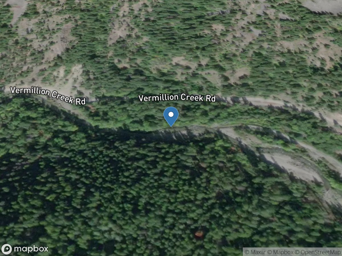
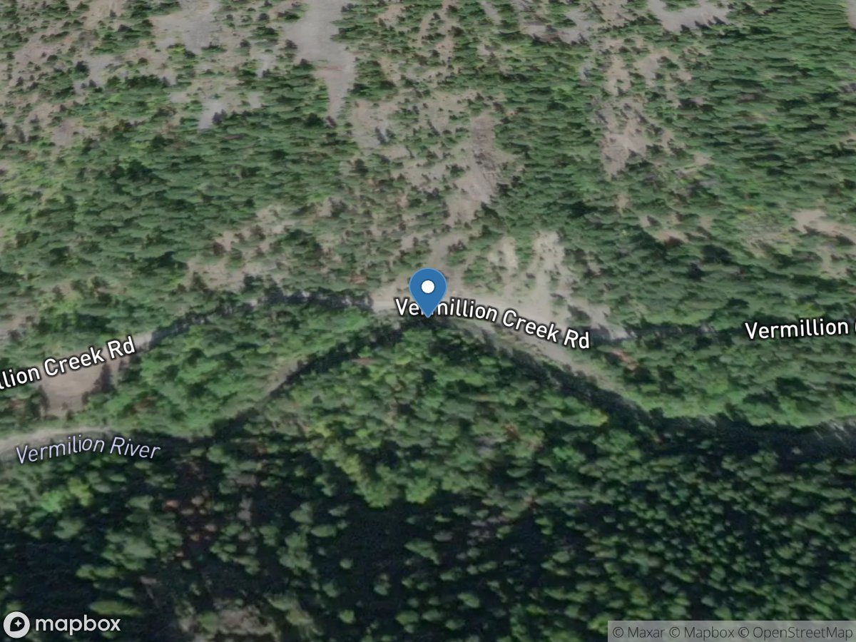
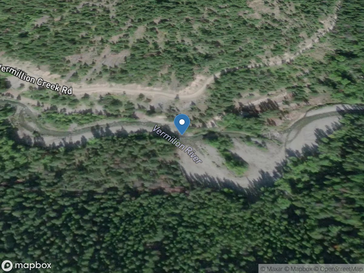
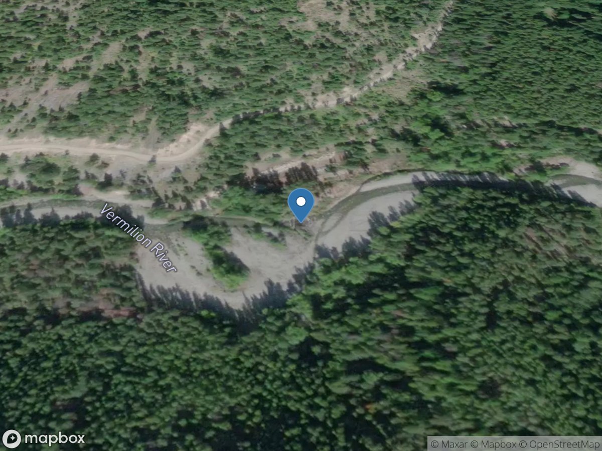
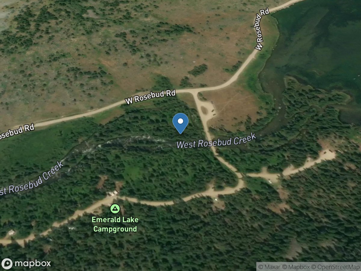
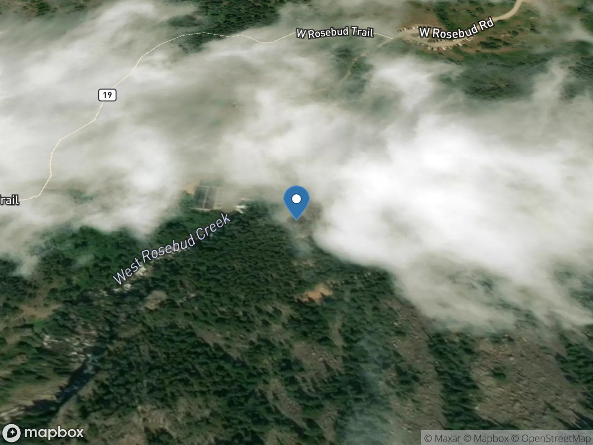
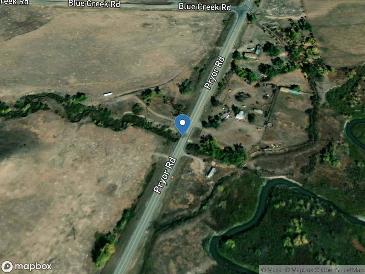
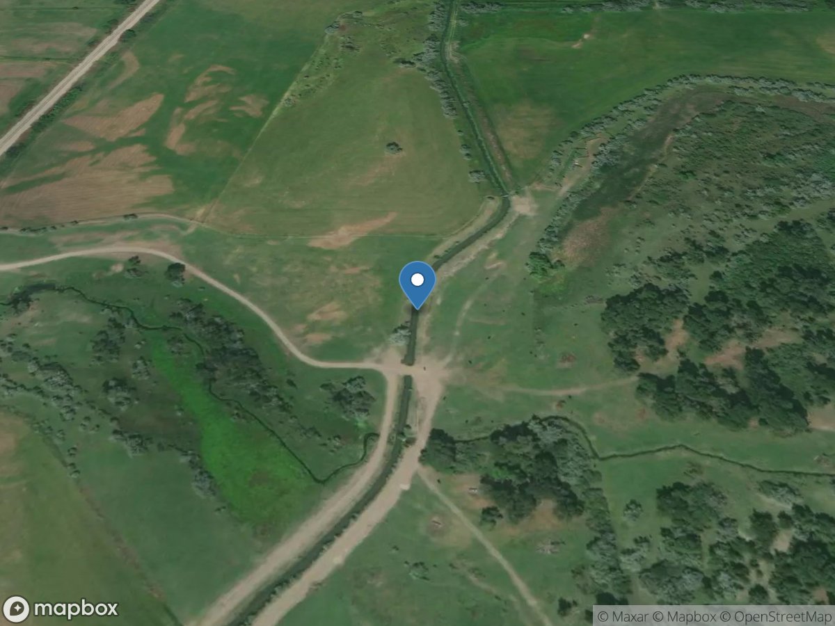
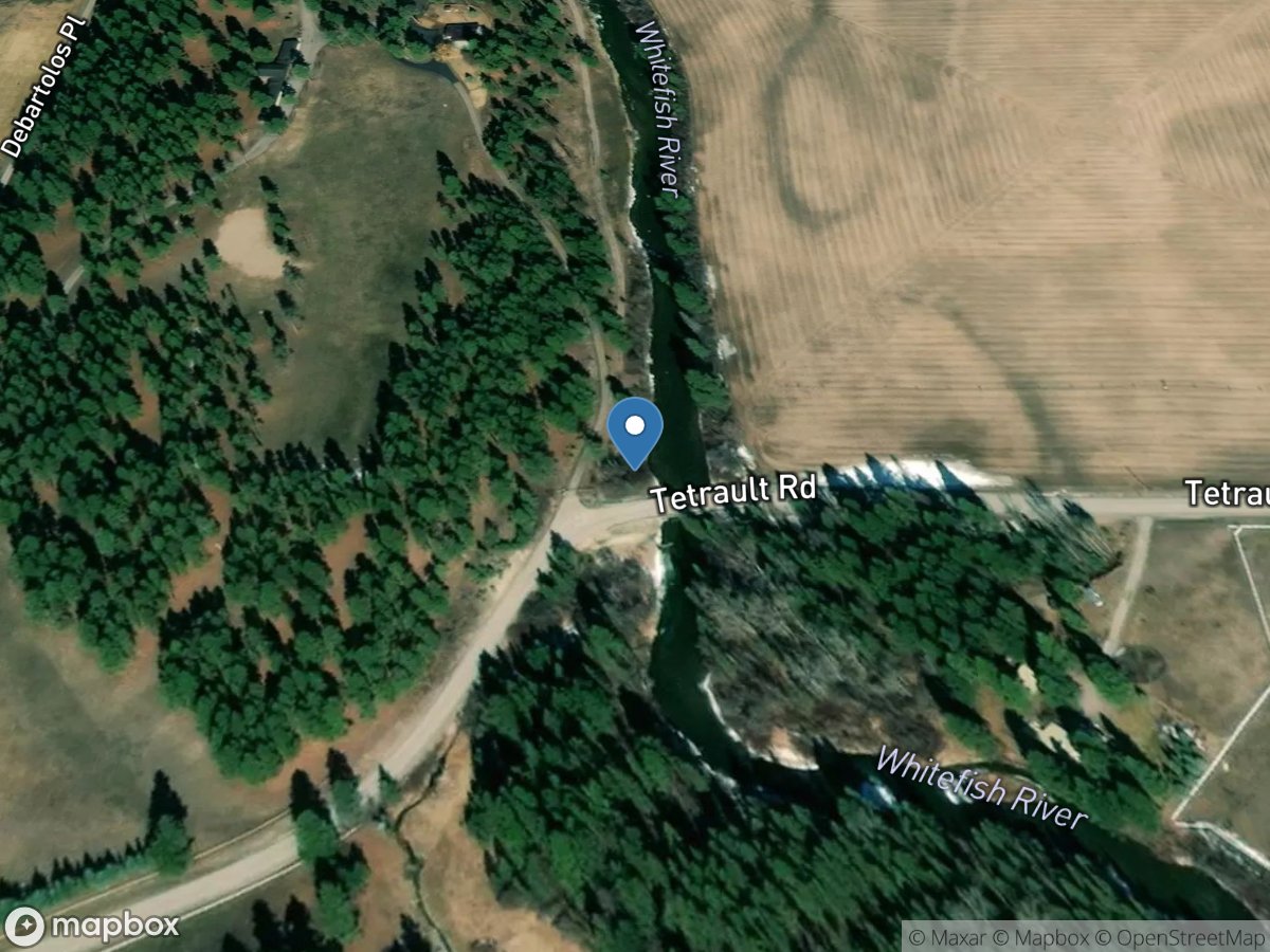
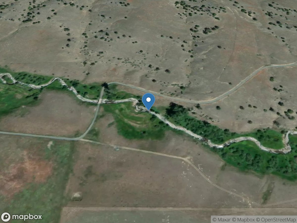
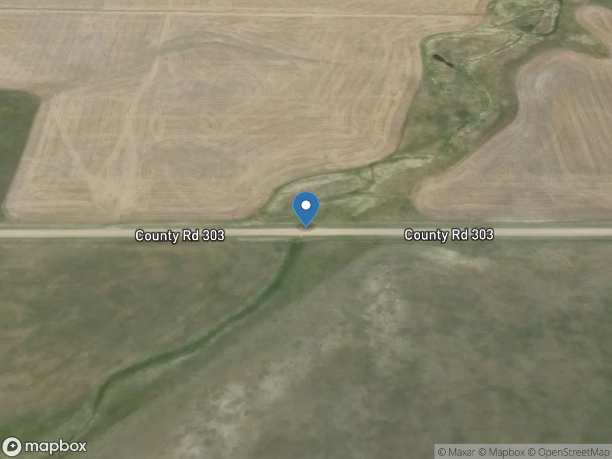
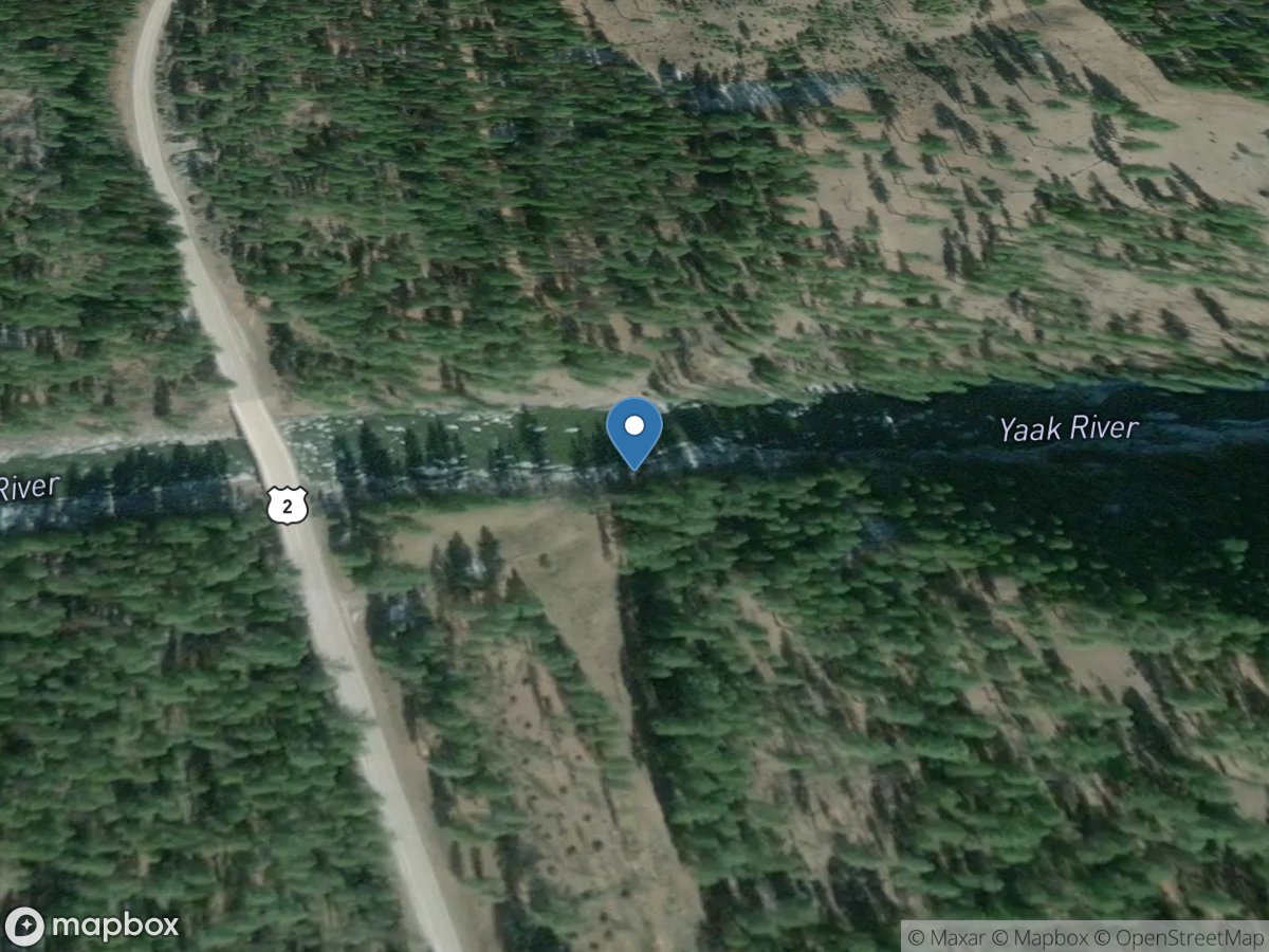
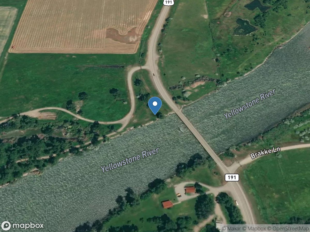
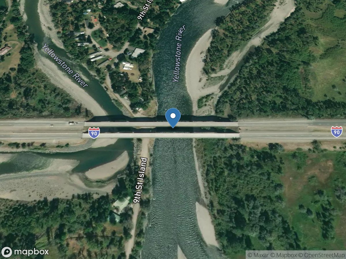
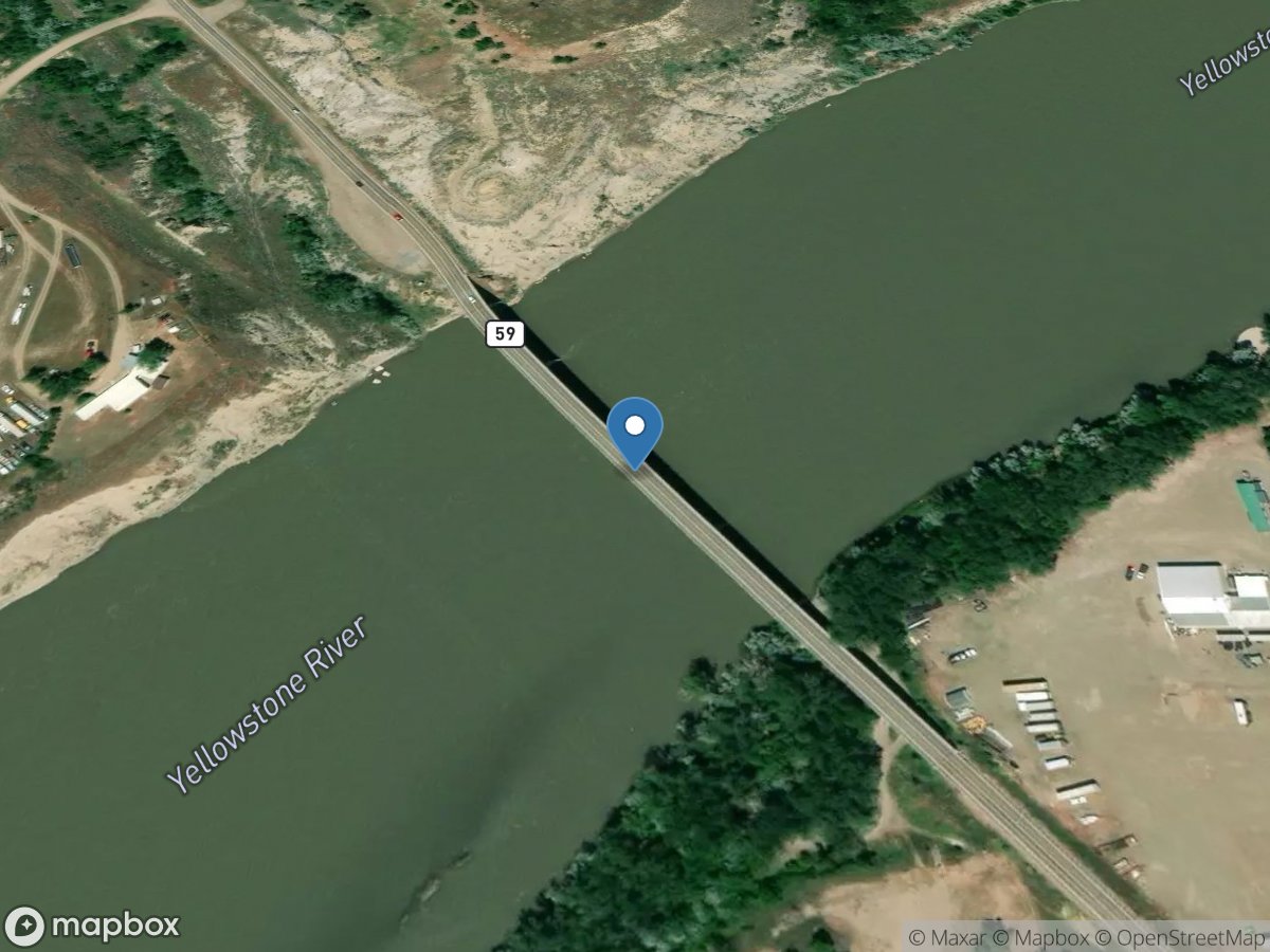
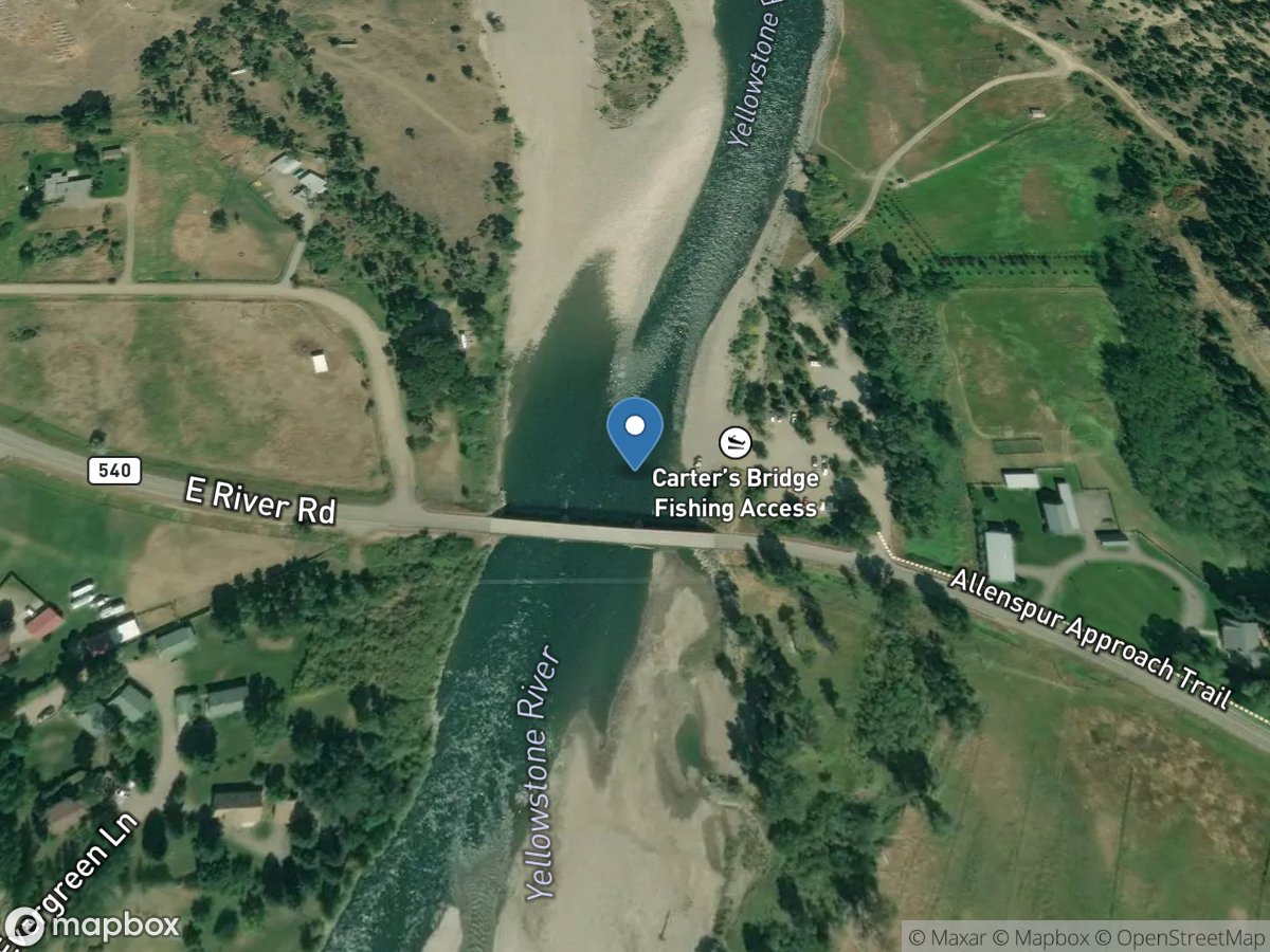
Map view
Montana gauge network
Open a station for its latest available readings and source details.
USGS Gauges
Rivers & Streams
Directory results
Gauge stations
Search the loaded station list or select a marker on the map.
Site: 06293890
USGS Gauge
Site: 06294400
USGS Gauge
Site: 06120900
USGS Gauge
Site: 06324995
USGS Gauge
Site: 06093200
USGS Gauge
Site: 06130610
USGS Gauge
Site: 06308200
USGS Gauge
Site: 06151500
USGS Gauge
Site: 06139850
USGS Gauge
Site: 06139900
USGS Gauge
Site: 06166000
USGS Gauge
Site: 06167500
USGS Gauge
Site: 06164600
USGS Gauge
Site: 06016000
USGS Gauge
Site: 06017000
USGS Gauge
Site: 06023100
USGS Gauge
Site: 06018500
USGS Gauge
Site: 06090500
USGS Gauge
Site: 06191820
USGS Gauge
Site: 483611114111201
USGS Gauge
Site: 06025250
USGS Gauge
Site: 06024450
USGS Gauge
Site: 06026420
USGS Gauge
Site: 06024540
USGS Gauge
Site: 06026210
USGS Gauge
Site: 06025500
USGS Gauge
Site: 06024580
USGS Gauge
Site: 06286490
USGS Gauge
Site: 06183450
USGS Gauge
Site: 06185110
USGS Gauge
Site: 06138580
USGS Gauge
Site: 06139500
USGS Gauge
Site: 06111800
USGS Gauge
Site: 06294500
USGS Gauge
Site: 06287800
USGS Gauge
Site: 06288400
USGS Gauge
Site: 06287000
USGS Gauge
Site: 06098120
USGS Gauge
Site: 06097000
USGS Gauge
Site: 06094900
USGS Gauge
Site: 06096001
USGS Gauge
Site: 12350250
USGS Gauge
Site: 12344000
USGS Gauge
Site: 12352500
USGS Gauge
Site: 06073600
USGS Gauge
Site: 12335100
USGS Gauge
Site: 12340000
USGS Gauge
Site: 12323233
USGS Gauge
Site: 06207800
USGS Gauge
Site: 12330000
USGS Gauge
Site: 06200000
USGS Gauge
Site: 06033000
USGS Gauge
Site: 06137575
USGS Gauge
Site: 06137572
USGS Gauge
Site: 06137574
USGS Gauge
Site: 06137570
USGS Gauge
Site: 454040111005501
USGS Gauge
Site: 454043111004801
USGS Gauge
Site: 06307720
USGS Gauge
Site: 06179100
USGS Gauge
Site: 06056300
USGS Gauge
Site: 06038550
USGS Gauge
Site: 06327450
USGS Gauge
Site: 06307520
USGS Gauge
Site: 06056200
USGS Gauge
Site: 06191620
USGS Gauge
Site: 12338750
USGS Gauge
Site: 06109600
USGS Gauge
Site: 12324400
USGS Gauge
Site: 12340500
USGS Gauge
Site: 12324200
USGS Gauge
Site: 12324680
USGS Gauge
Site: 12354500
USGS Gauge
Site: 12353650
USGS Gauge
Site: 12334550
USGS Gauge
Site: 12353000
USGS Gauge
Site: 12331800
USGS Gauge
Site: 12323800
USGS Gauge
Site: 12354700
USGS Gauge
Site: 12389000
USGS Gauge
Site: 06208500
USGS Gauge
Site: 06207500
USGS Gauge
Site: 06142400
USGS Gauge
Site: 483942114143201
USGS Gauge
Site: 06210950
USGS Gauge
Site: 06177700
USGS Gauge
Site: 06130630
USGS Gauge
Site: 06085510
USGS Gauge
Site: 06098800
USGS Gauge
Site: 06099000
USGS Gauge
Site: 06073500
USGS Gauge
Site: 06309080
USGS Gauge
Site: 06308330
USGS Gauge
Site: 06071400
USGS Gauge
Site: 06309040
USGS Gauge
Site: 06177100
USGS Gauge
Site: 06048650
USGS Gauge
Site: 06197800
USGS Gauge
Site: 06178500
USGS Gauge
Site: 06015460
USGS Gauge
Site: 06101520
USGS Gauge
Site: 06153400
USGS Gauge
Site: 12302055
USGS Gauge
Site: 12363000
USGS Gauge
Site: 12366500
USGS Gauge
Site: 12388700
USGS Gauge
Site: 12363500
USGS Gauge
Site: 12372000
USGS Gauge
Site: 06130000
USGS Gauge
Site: 12329500
USGS Gauge
Site: 12331500
USGS Gauge
Site: 12325500
USGS Gauge
Site: 06024100
USGS Gauge
Site: 06043120
USGS Gauge
Site: 06052500
USGS Gauge
Site: 06043500
USGS Gauge
Site: 06191000
USGS Gauge
Site: 12325000
USGS Gauge
Site: 06015480
USGS Gauge
Site: 06327720
USGS Gauge
Site: 06026600
USGS Gauge
Site: 06050000
USGS Gauge

Site: 460340110381402
USGS Gauge
Site: 06027600
USGS Gauge
Site: 06036650
USGS Gauge
Site: 06026500
USGS Gauge
Site: 06110020
USGS Gauge

Site: 06114700
USGS Gauge
Site: 465934113010401
USGS Gauge

Site: 12301933
USGS Gauge
Site: 12303500
USGS Gauge
Site: 453445106374201
USGS Gauge
Site: 453738106403401
USGS Gauge
Site: 453812106402901
USGS Gauge
Site: 453711106400101
USGS Gauge
Site: 453632106394701
USGS Gauge
Site: 453441106372501
USGS Gauge
Site: 453743106403101
USGS Gauge
Site: 453837106405001
USGS Gauge
Site: 06326580
USGS Gauge
Site: 483613114111401
USGS Gauge
Site: 480608115242901
USGS Gauge
Site: 06289000
USGS Gauge
Site: 06293500
USGS Gauge
Site: 06294000
USGS Gauge
Site: 12324590
USGS Gauge
Site: 06334330
USGS Gauge
Site: 06090550
USGS Gauge
Site: 06154410
USGS Gauge
Site: 06071300
USGS Gauge
Site: 06164623
USGS Gauge
Site: 06146980
USGS Gauge
Site: 06154430
USGS Gauge
Site: 06043300
USGS Gauge
Site: 06100300
USGS Gauge
Site: 12323840
USGS Gauge
Site: 12323850
USGS Gauge
Site: 06053050
USGS Gauge
Site: 06184200
USGS Gauge
Site: 06156100
USGS Gauge
Site: 12358500
USGS Gauge
Site: 06040800
USGS Gauge
Site: 06040050
USGS Gauge
Site: 06038800
USGS Gauge
Site: 06041000
USGS Gauge
Site: 06038500
USGS Gauge
Site: 06040000
USGS Gauge
Site: 06037500
USGS Gauge
Site: 06101630
USGS Gauge
Site: 06101500
USGS Gauge
Site: 06102050
USGS Gauge
Site: 06099500
USGS Gauge
Site: 483554114022201
USGS Gauge
Site: 06131300
USGS Gauge
Site: 06204170
USGS Gauge
Site: 12332000
USGS Gauge
Site: 06135000
USGS Gauge
Site: 06140500
USGS Gauge
Site: 06164510
USGS Gauge
Site: 06155500
USGS Gauge
Site: 06153800
USGS Gauge
Site: 06174500
USGS Gauge
Site: 06172310
USGS Gauge
Site: 06155030
USGS Gauge
Site: 06154100
USGS Gauge
Site: 06174300
USGS Gauge
Site: 12323700
USGS Gauge
Site: 12323670
USGS Gauge
Site: 06192050
USGS Gauge
Site: 12377150
USGS Gauge
Site: 06074000
USGS Gauge
Site: 06175510
USGS Gauge
Site: 06090800
USGS Gauge
Site: 06054500
USGS Gauge
Site: 06109500
USGS Gauge
Site: 06175100
USGS Gauge
Site: 06058502
USGS Gauge
Site: 06065500
USGS Gauge
Site: 06066500
USGS Gauge
Site: 06185500
USGS Gauge
Site: 06090300
USGS Gauge
Site: 06115200
USGS Gauge
Site: 06078200
USGS Gauge
Site: 06177000
USGS Gauge
Site: 06185600
USGS Gauge
Site: 06185650
USGS Gauge
Site: 06088500
USGS Gauge
Site: 06191550
USGS Gauge
Site: 06155600
USGS Gauge
Site: 06125600
USGS Gauge
Site: 06123030
USGS Gauge
Site: 06120500
USGS Gauge
Site: 06130500
USGS Gauge
Site: 06127500
USGS Gauge
Site: 06119600
USGS Gauge
Site: 06126500
USGS Gauge
Site: 12355500
USGS Gauge
Site: 06133500
USGS Gauge
Site: 06131200
USGS Gauge
Site: 12335500
USGS Gauge
Site: 12338300
USGS Gauge
Site: 463138110580001
USGS Gauge
Site: 06078500
USGS Gauge
Site: 06154390
USGS Gauge
Site: 06154400
USGS Gauge
Site: 06154350
USGS Gauge
Site: 06178000
USGS Gauge
Site: 06181000
USGS Gauge
Site: 06324500
USGS Gauge
Site: 06326500
USGS Gauge
Site: 06098700
USGS Gauge
Site: 06061500
USGS Gauge
Site: 12390700
USGS Gauge
Site: 06025100
USGS Gauge
Site: 06211000
USGS Gauge
Site: 06006000
USGS Gauge
Site: 06012500
USGS Gauge
Site: 06143900
USGS Gauge
Site: 06177500
USGS Gauge
Site: 06296115
USGS Gauge
Site: 06169500
USGS Gauge
Site: 12334510
USGS Gauge
Site: 06209500
USGS Gauge
Site: 06295220
USGS Gauge
Site: 06295113
USGS Gauge
Site: 462730110173801
USGS Gauge
Site: 06019500
USGS Gauge
Site: 06020600
USGS Gauge
Site: 06023000
USGS Gauge
Site: 06130915
USGS Gauge
Site: 12359800
USGS Gauge
Site: 12362500
USGS Gauge
Site: 06123200
USGS Gauge
Site: 06137600
USGS Gauge
Site: 06034700
USGS Gauge
Site: 06192978
USGS Gauge
Site: 06195600
USGS Gauge
Site: 12323242
USGS Gauge

Site: 12323600
USGS Gauge
Site: 12323750
USGS Gauge
Site: 12323250
USGS Gauge
Site: 475211115241701
USGS Gauge
Site: 470156114211201
USGS Gauge
Site: 06077200
USGS Gauge
Site: 06077500
USGS Gauge
Site: 06076690
USGS Gauge
Site: 06128500
USGS Gauge
Site: 06327550
USGS Gauge
Site: 12381400
USGS Gauge
Site: 06119200
USGS Gauge
Site: 06079000
USGS Gauge
Site: 05018500
USGS Gauge
Site: 05017500
USGS Gauge
Site: 12354000
USGS Gauge
Site: 12365700
USGS Gauge
Site: 06205000
USGS Gauge
Site: 06085800
USGS Gauge
Site: 06080900
USGS Gauge
Site: 06082200
USGS Gauge
Site: 06089000
USGS Gauge
Site: 12370000
USGS Gauge
Site: 05014500
USGS Gauge
Site: 462739112151101
USGS Gauge
Site: 06063000
USGS Gauge
Site: 06062500
USGS Gauge
Site: 06108800
USGS Gauge
Site: 06102500
USGS Gauge
Site: 06108000
USGS Gauge
Site: 12389500
USGS Gauge
Site: 12301250
USGS Gauge
Site: 06307662
USGS Gauge
Site: 06307616
USGS Gauge
Site: 06308500
USGS Gauge
Site: 06306300
USGS Gauge
Site: 06307500
USGS Gauge
Site: 06307830
USGS Gauge
Site: 06217300
USGS Gauge
Site: 06092020
USGS Gauge
Site: 06091700
USGS Gauge
Site: 06172300
USGS Gauge
Site: 475211115245901
USGS Gauge
Site: 475210115250103
USGS Gauge
Site: 475211115250701
USGS Gauge
Site: 475213115251801
USGS Gauge
Site: 475207115253401
USGS Gauge
Site: 475210115244001
USGS Gauge
Site: 475211115244901
USGS Gauge
Site: 475210115243101
USGS Gauge
Site: 475209115242603
USGS Gauge
Site: 475210115240801
USGS Gauge
Site: 475210115242001
USGS Gauge
Site: 06204070
USGS Gauge
Site: 12323770
USGS Gauge
Site: 12323760
USGS Gauge
Site: 06139800
USGS Gauge
Site: 12342500
USGS Gauge
Site: 06204050
USGS Gauge
Site: 06216200
USGS Gauge
Site: 06208790
USGS Gauge
Site: 12366000
USGS Gauge
Site: 12323720
USGS Gauge
Site: 12323710
USGS Gauge
Site: 06211500
USGS Gauge
Site: 06101200
USGS Gauge
Site: 06035000
USGS Gauge
Site: 06114550
USGS Gauge
Site: 12304500
USGS Gauge
Site: 06195950
USGS Gauge
Site: 06214500
USGS Gauge
Site: 06191500
USGS Gauge
Site: 06295000
USGS Gauge
Site: 06327500
USGS Gauge
Site: 453840110333901
USGS Gauge
Site: 06309000
USGS Gauge
Site: 06195750
USGS Gauge
Site: 06328495
USGS Gauge
Site: 06192500
USGS Gauge
Site: 06329500
USGS Gauge
Site: 06328100
USGS Gauge
Site: 06326950
USGS Gauge