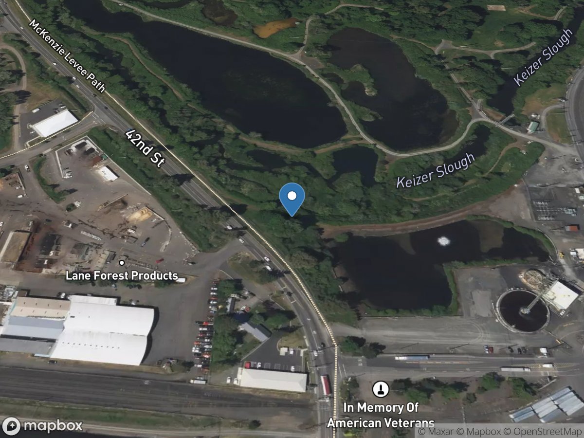
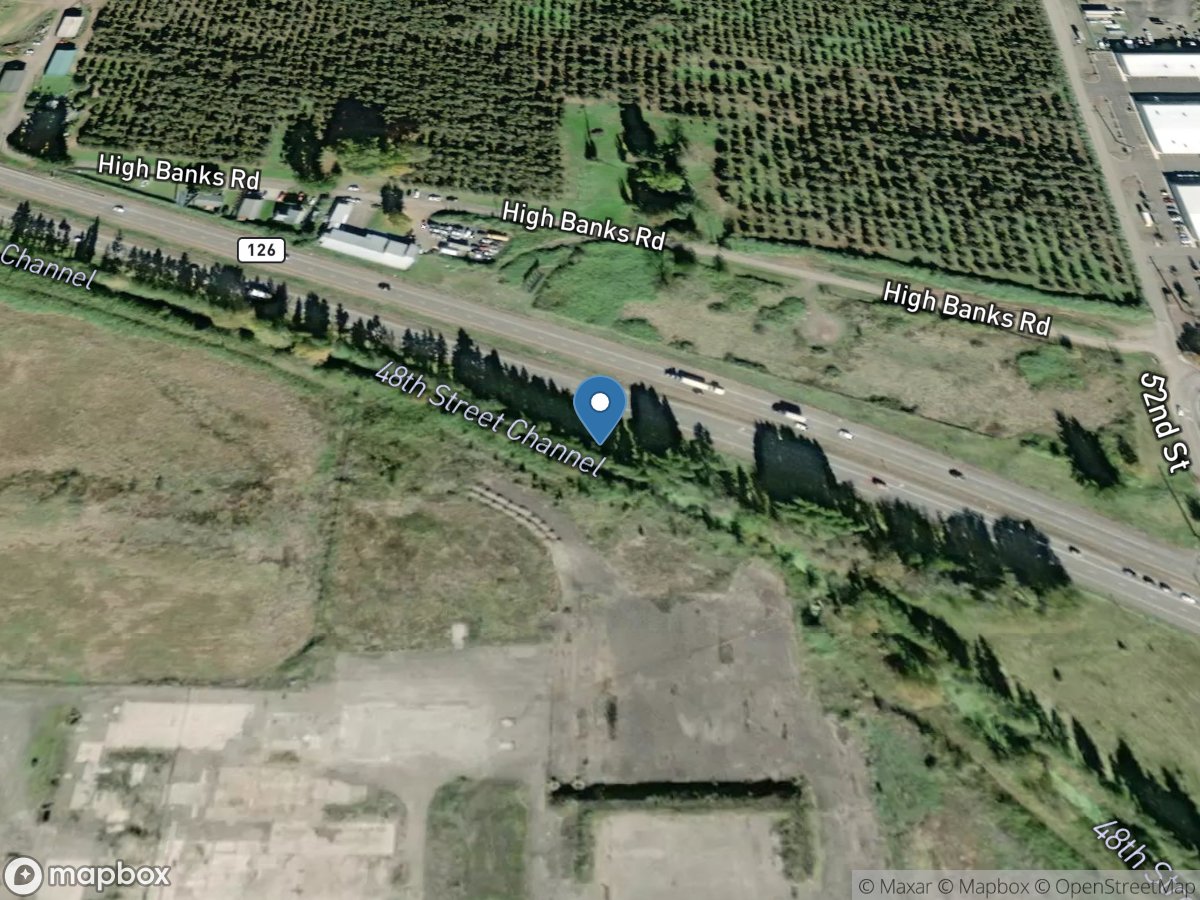
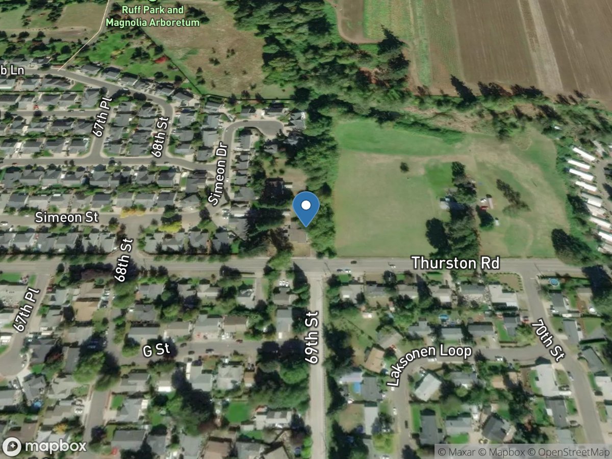
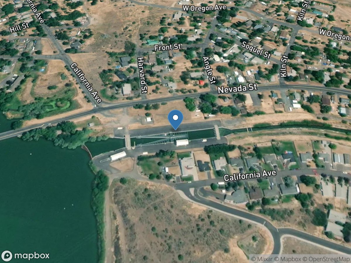
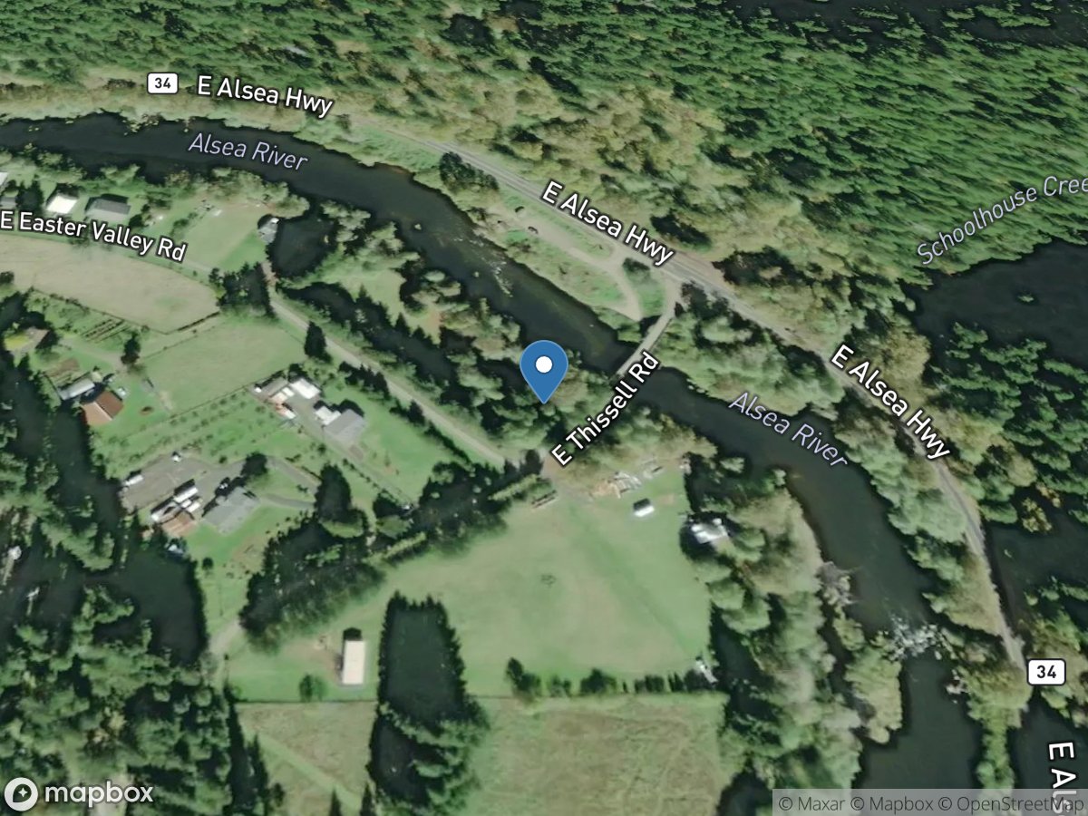
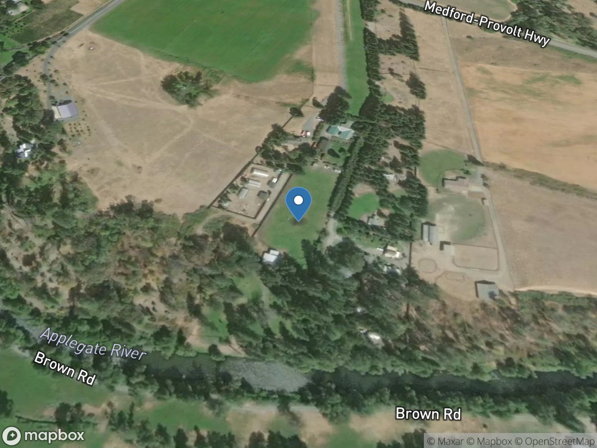
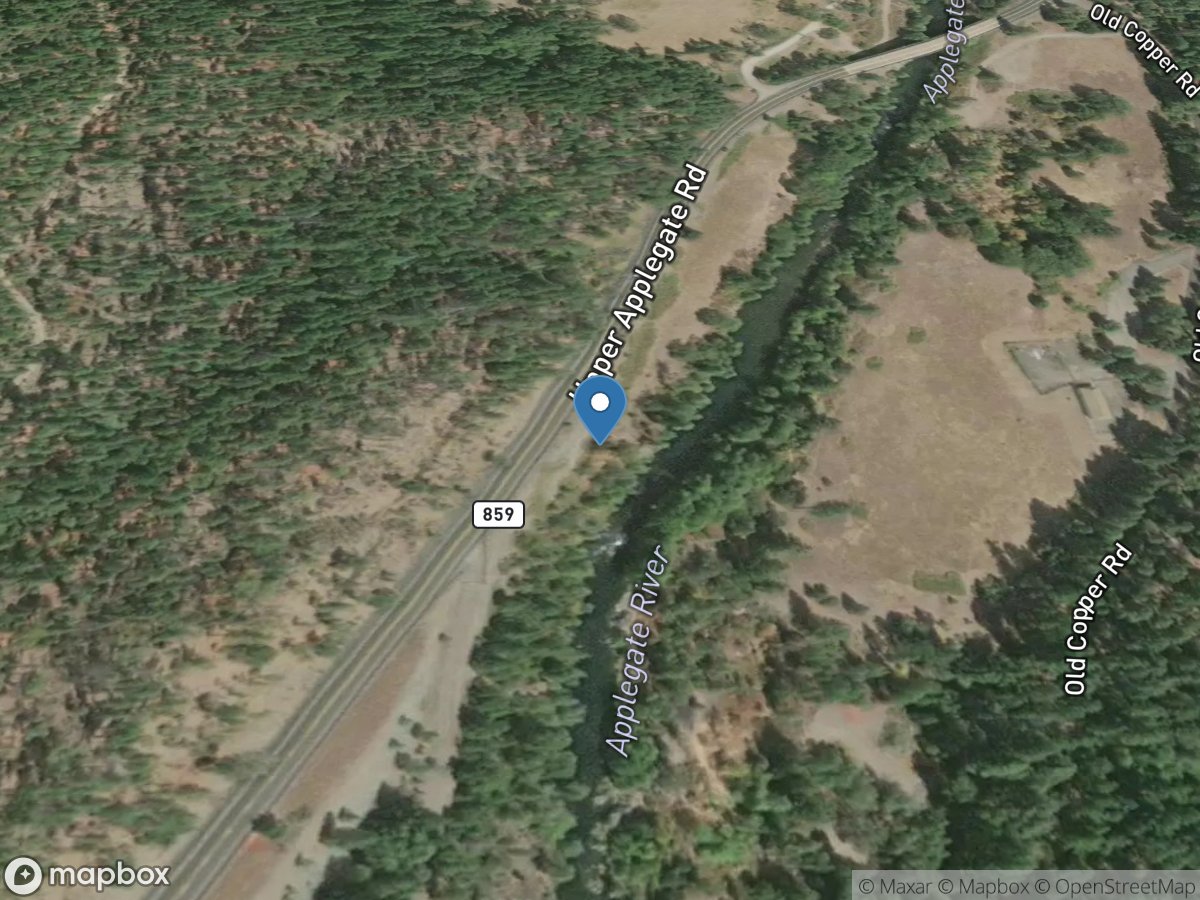
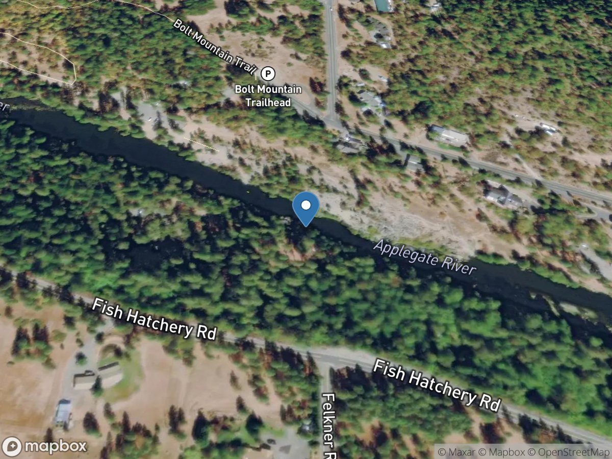
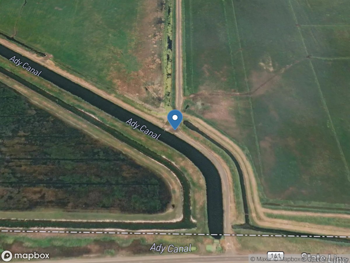
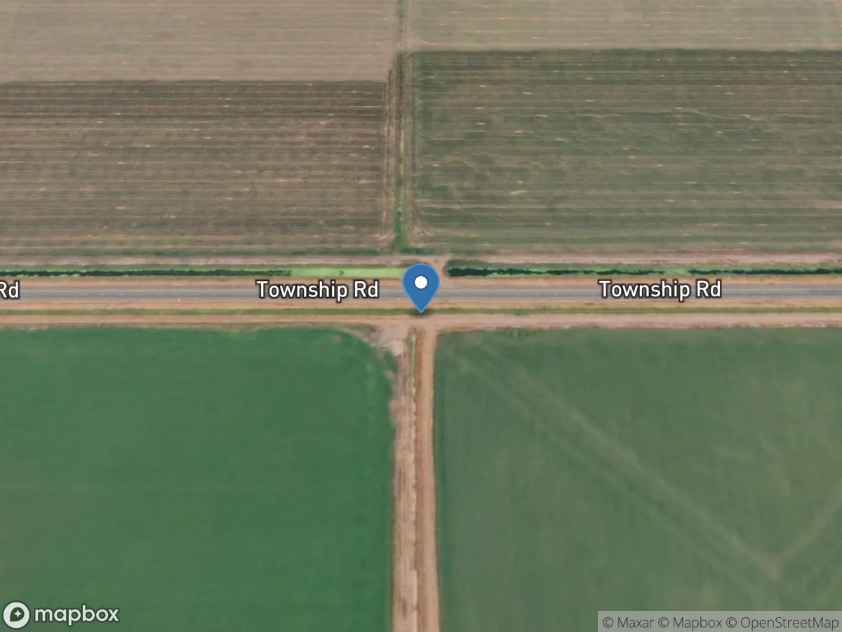
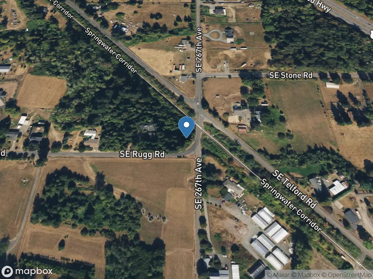
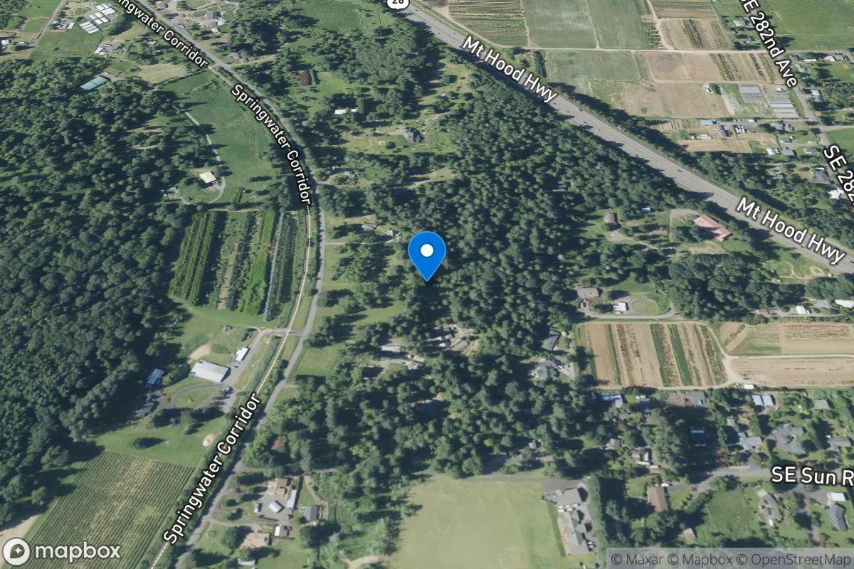
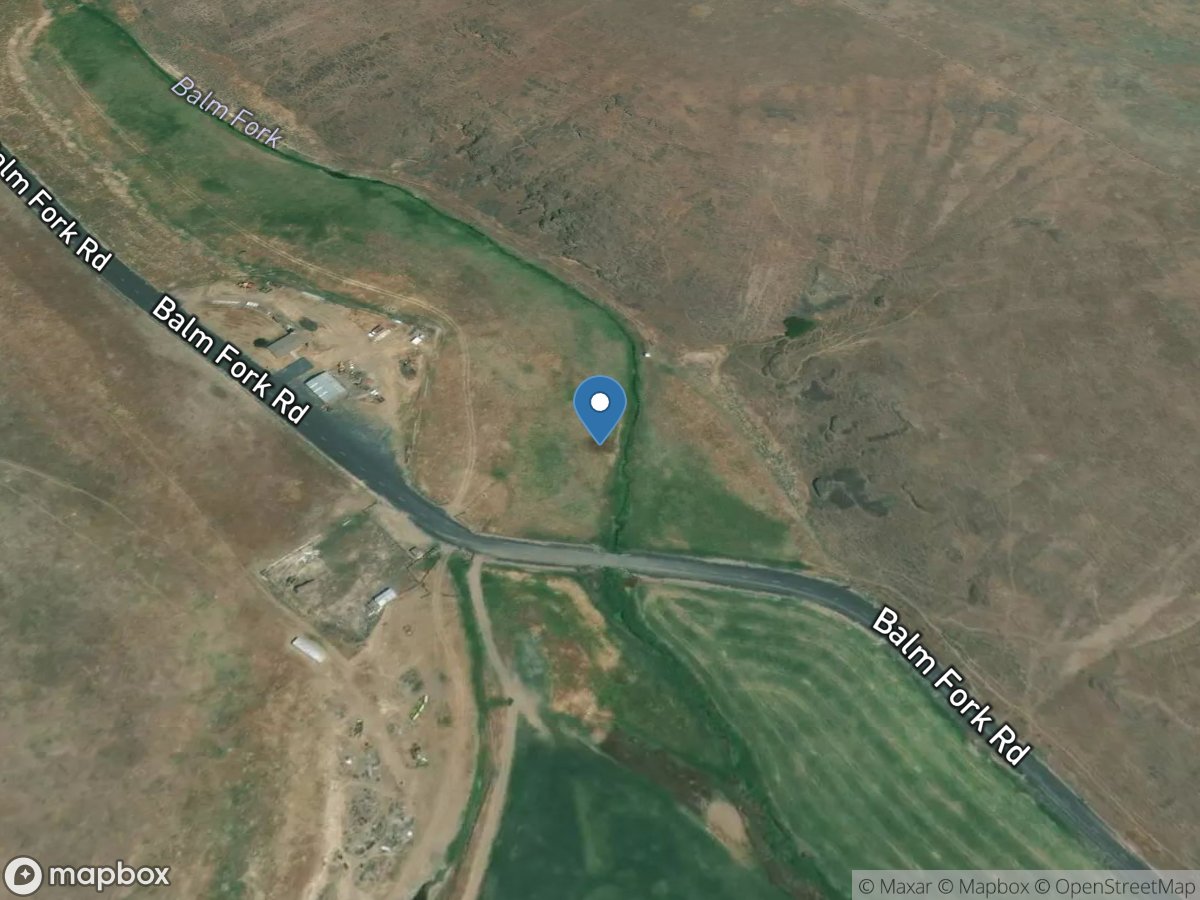
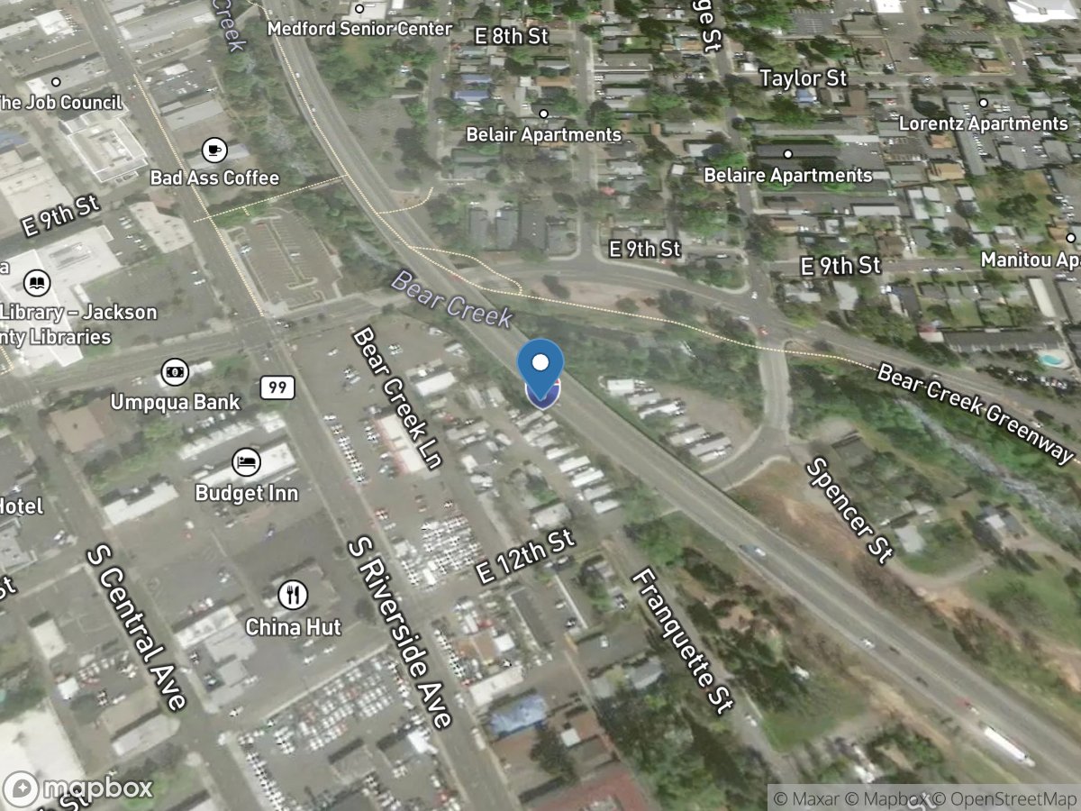
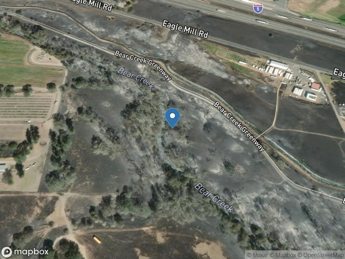
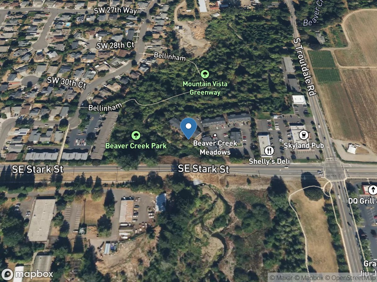
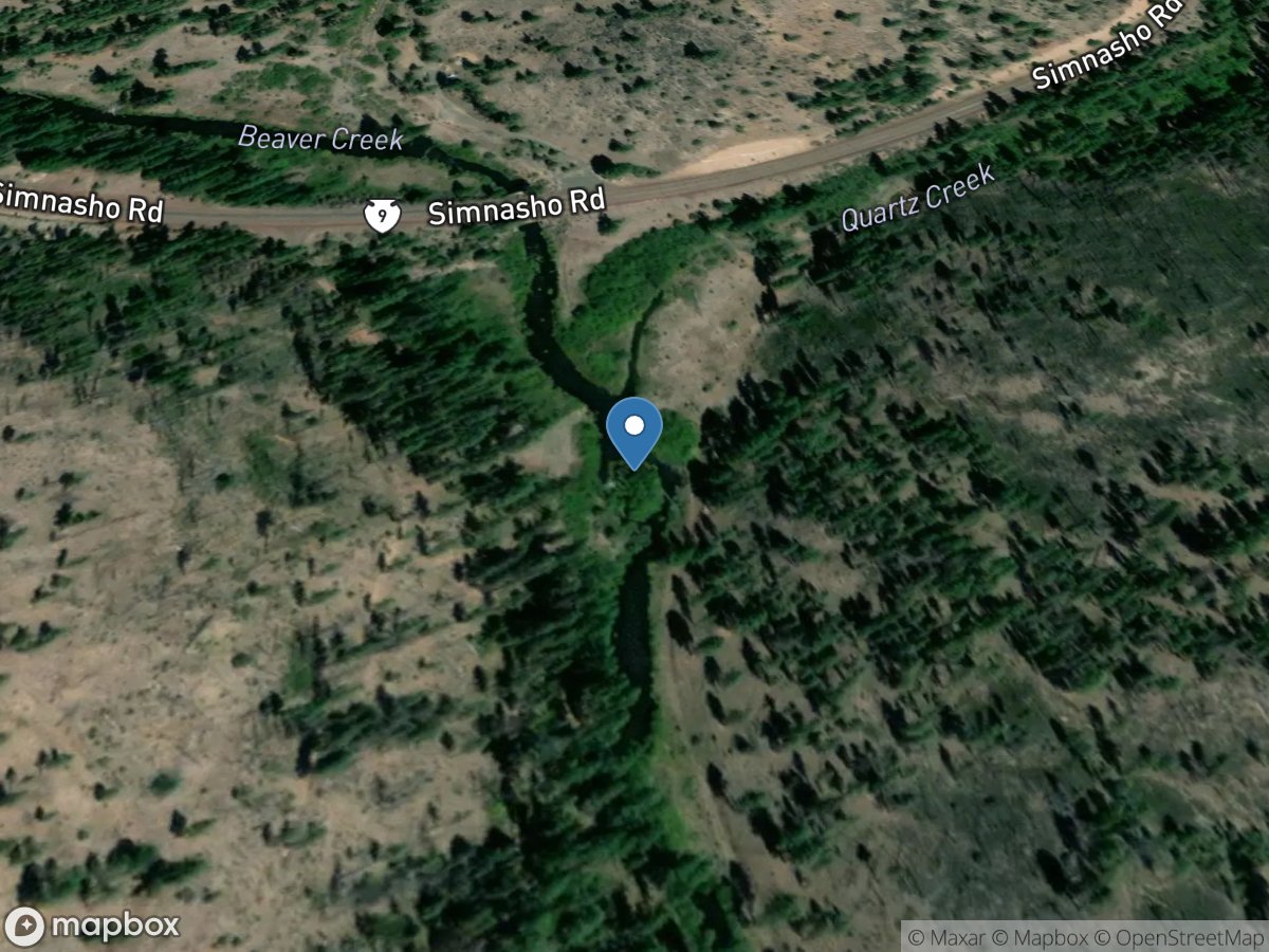
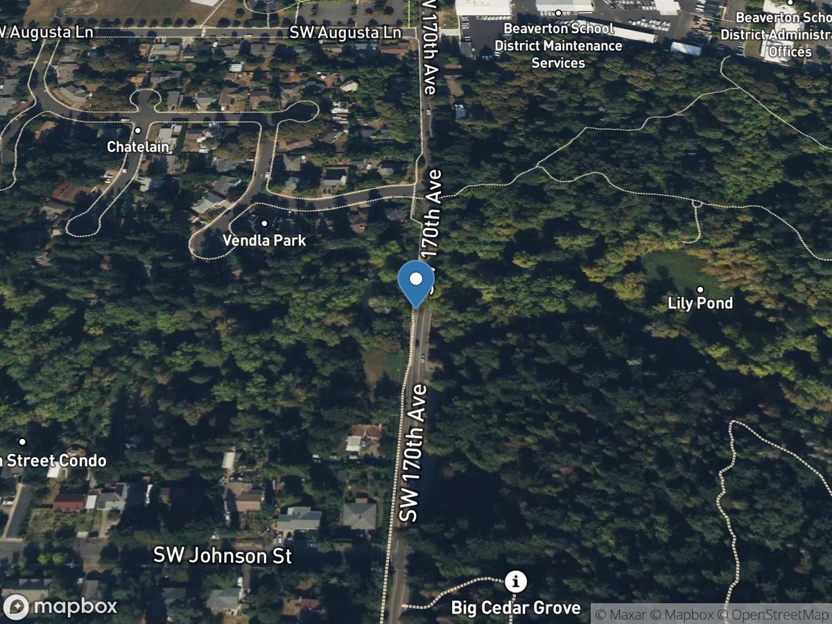
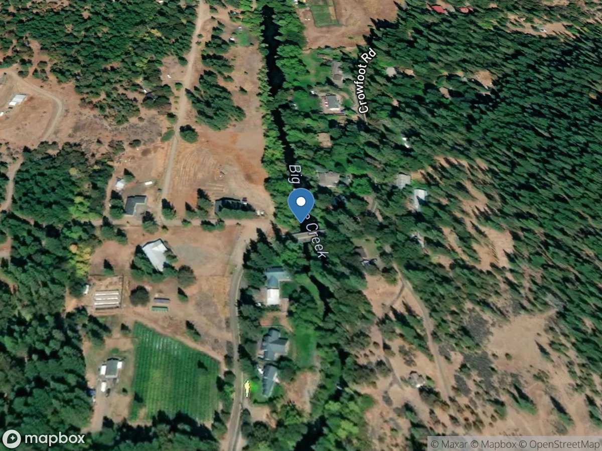
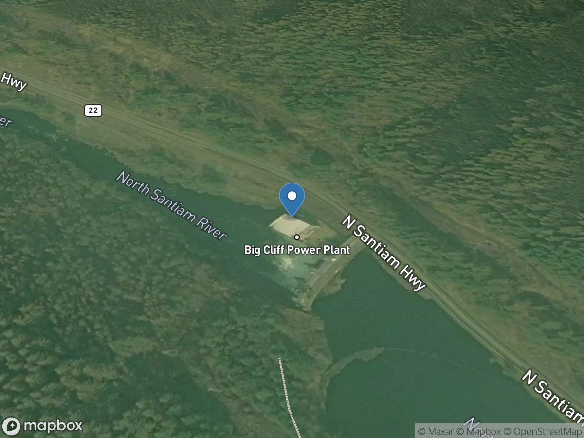
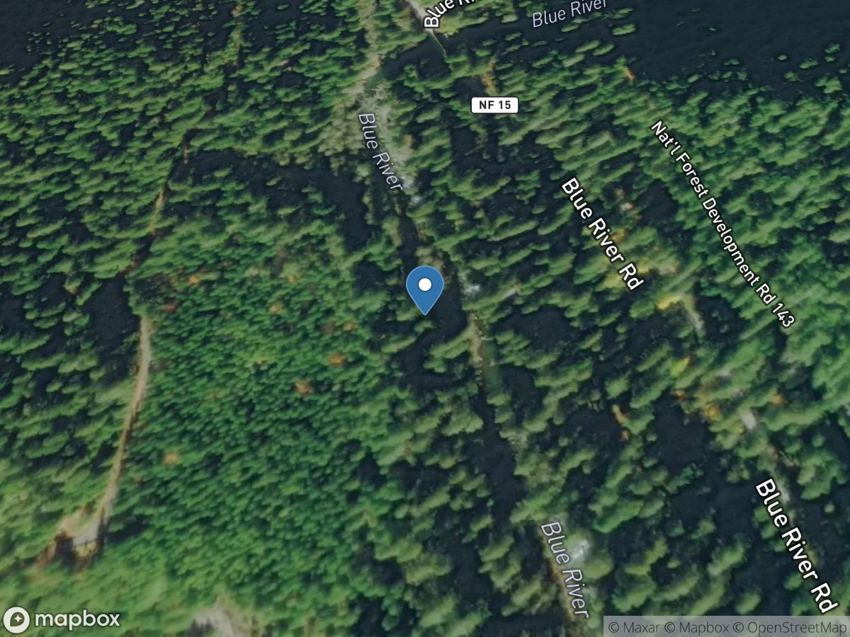
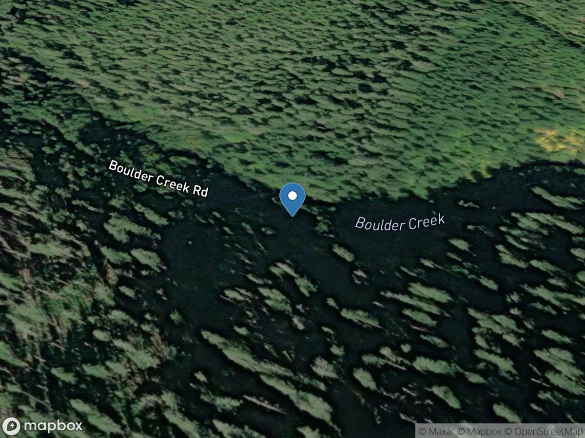
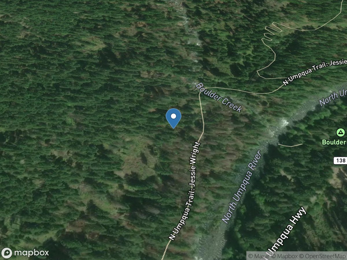
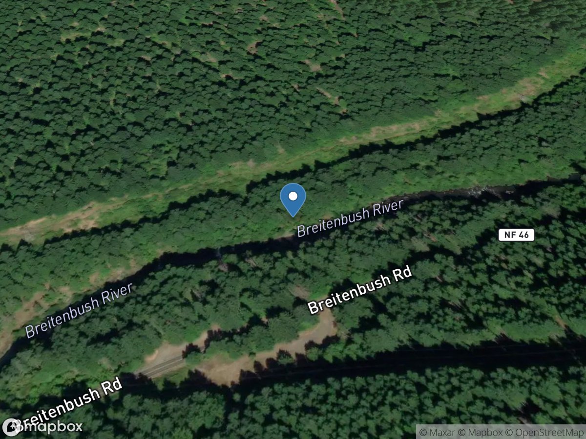
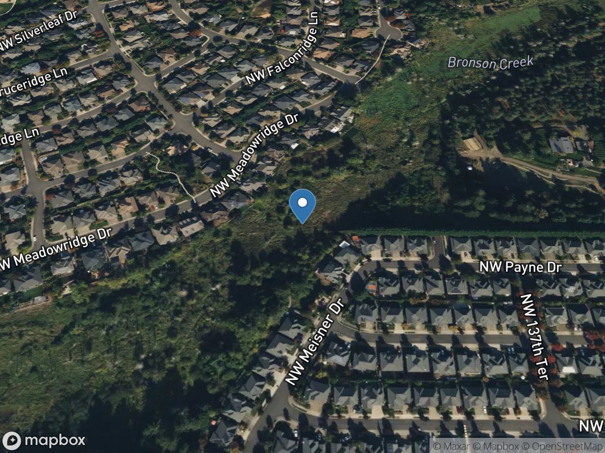
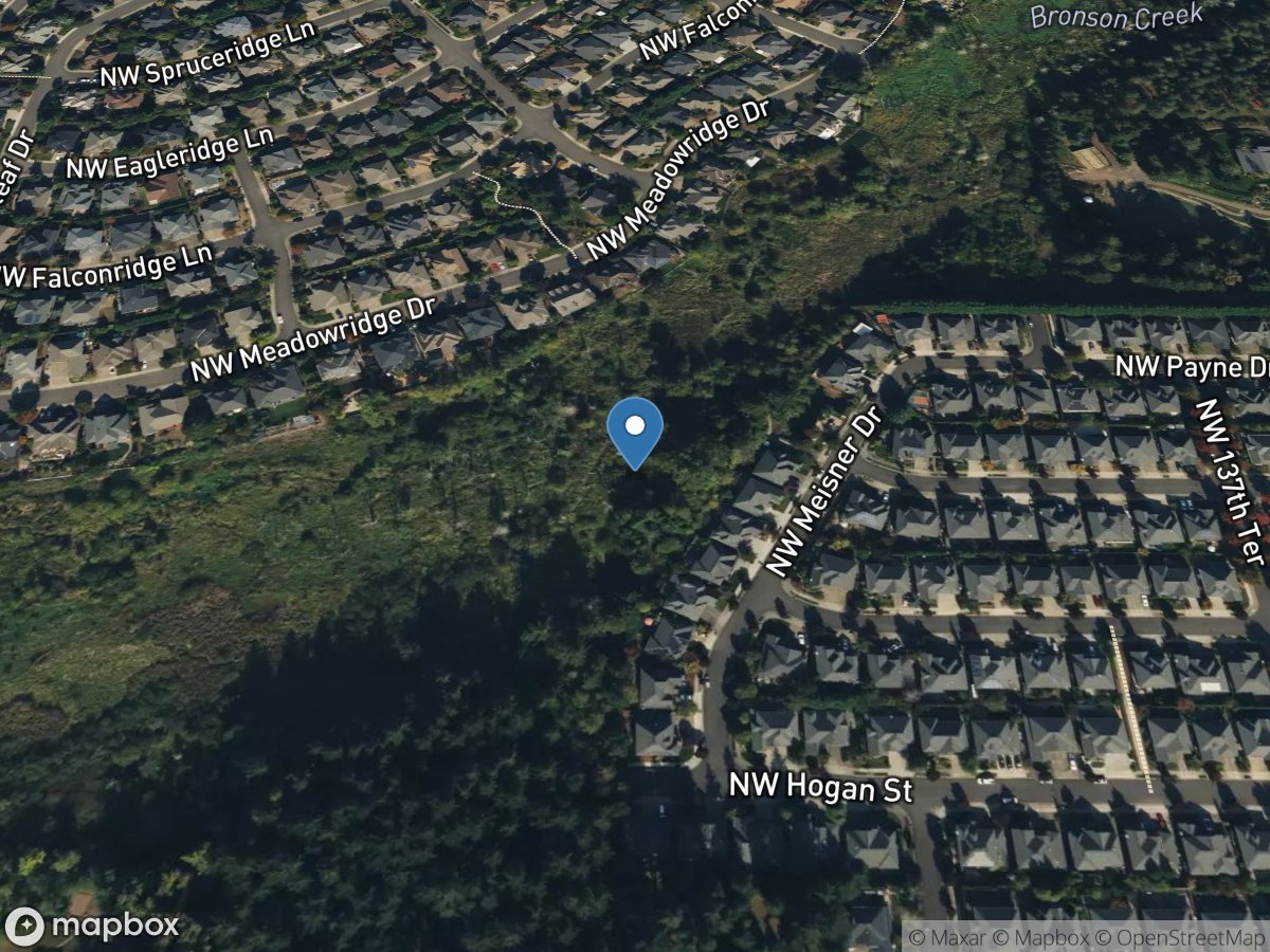
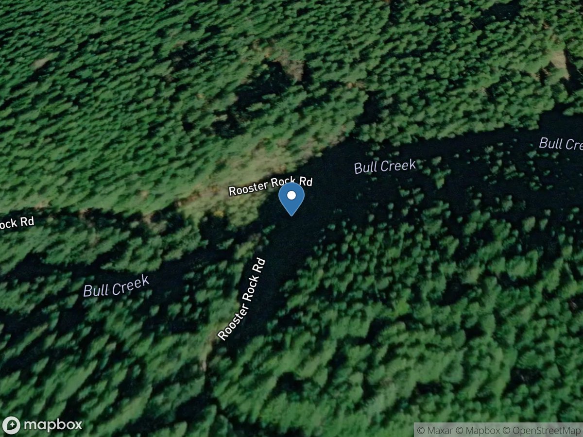
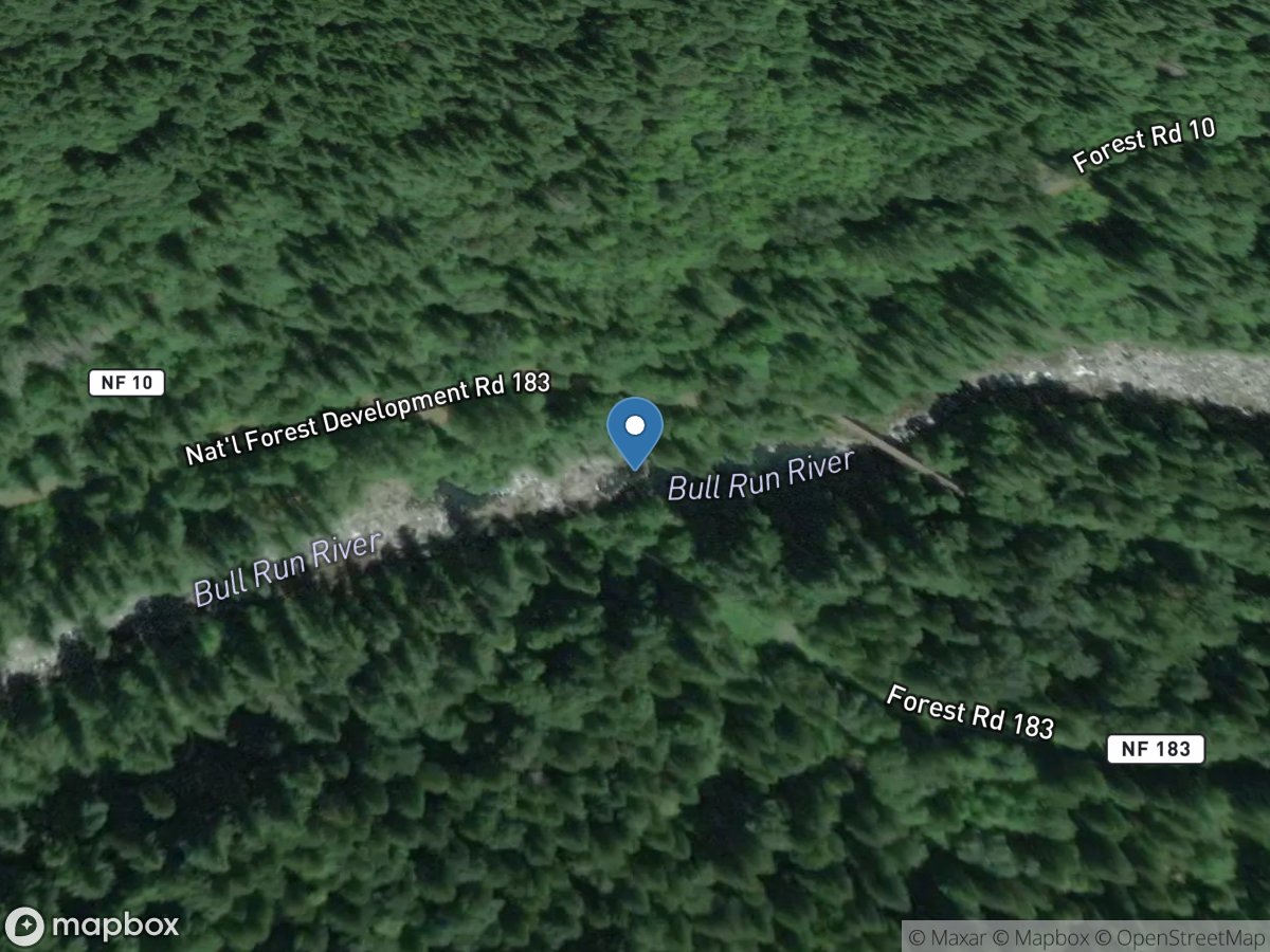
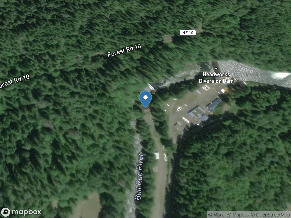
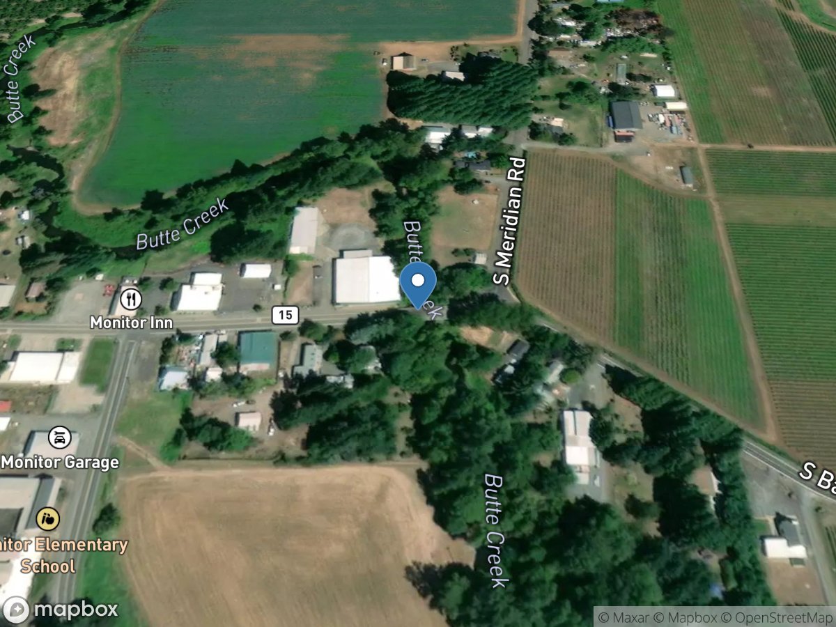
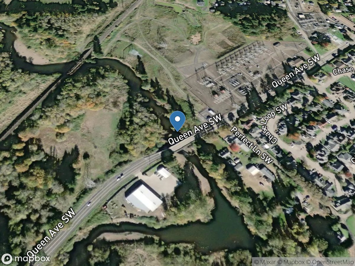
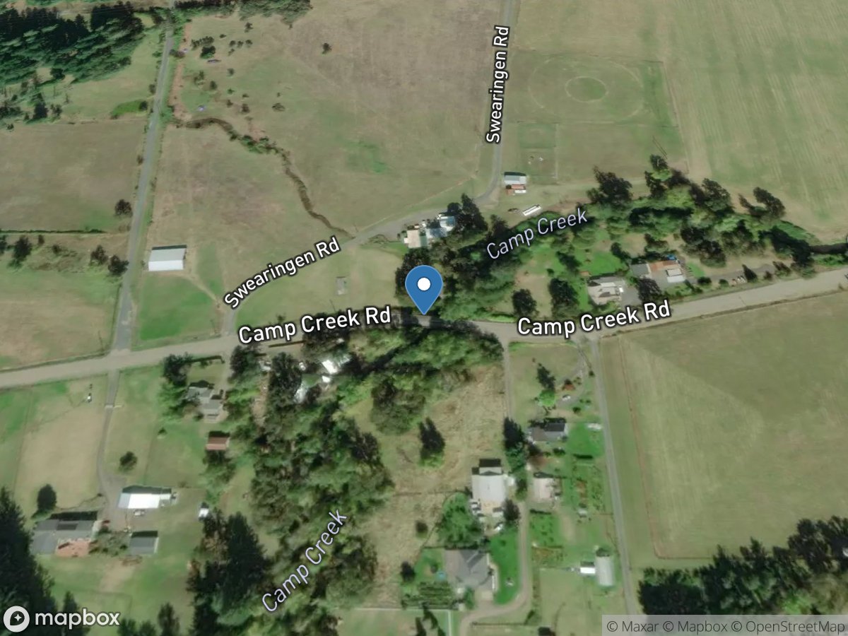
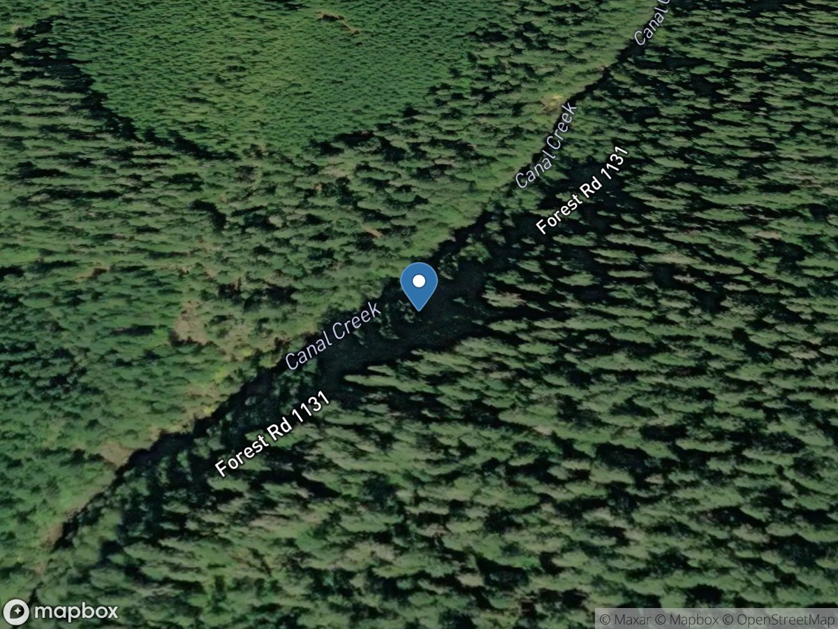
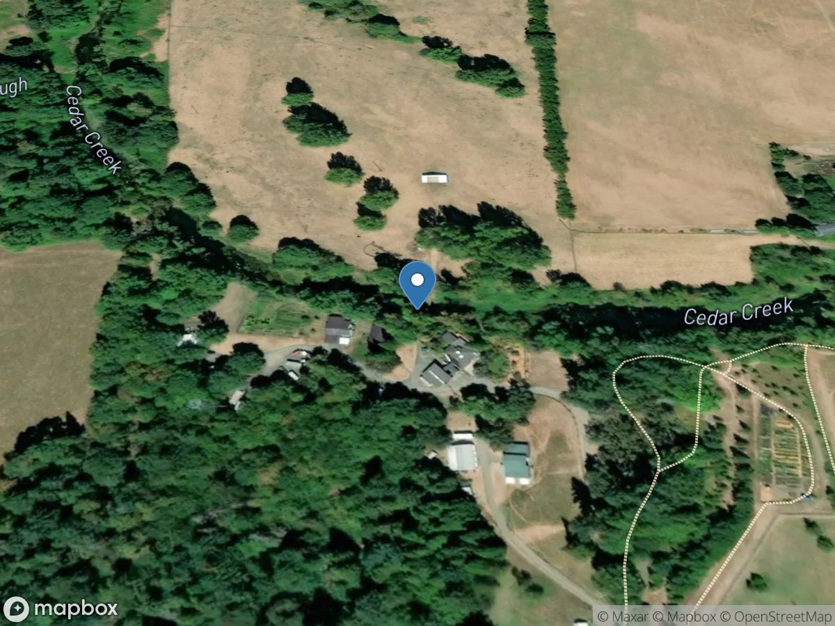
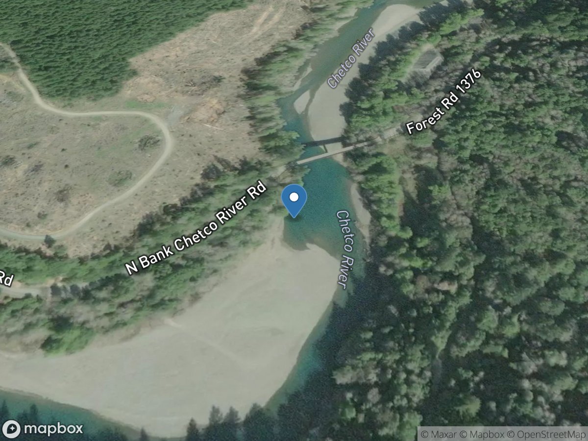
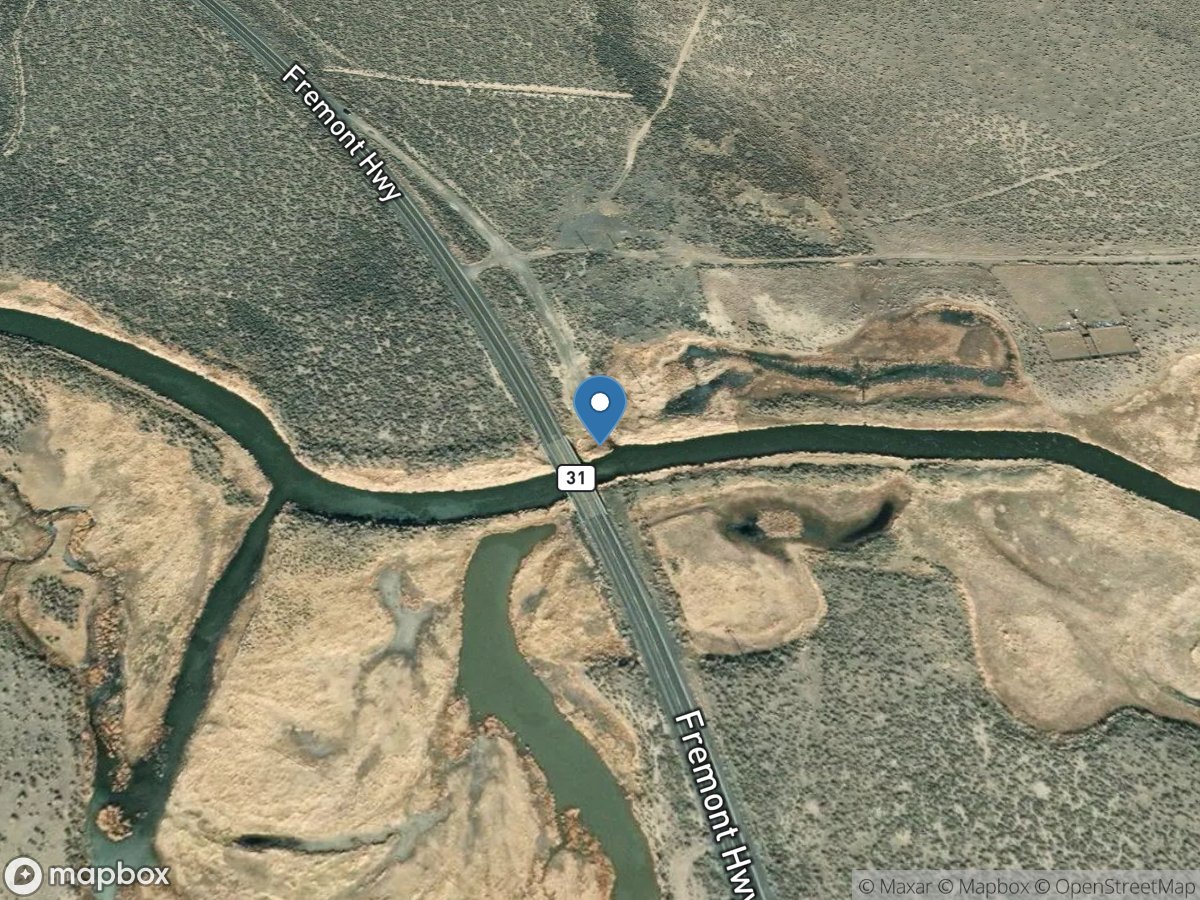
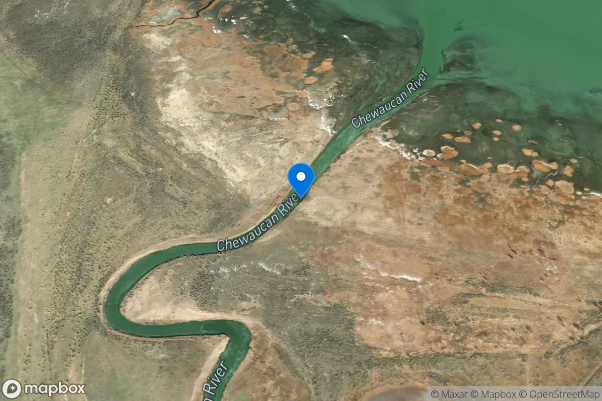
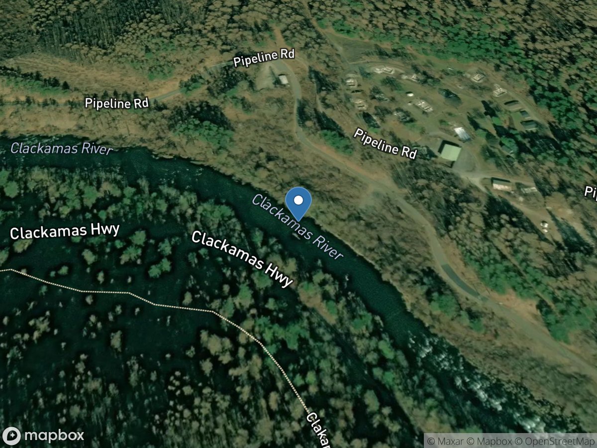
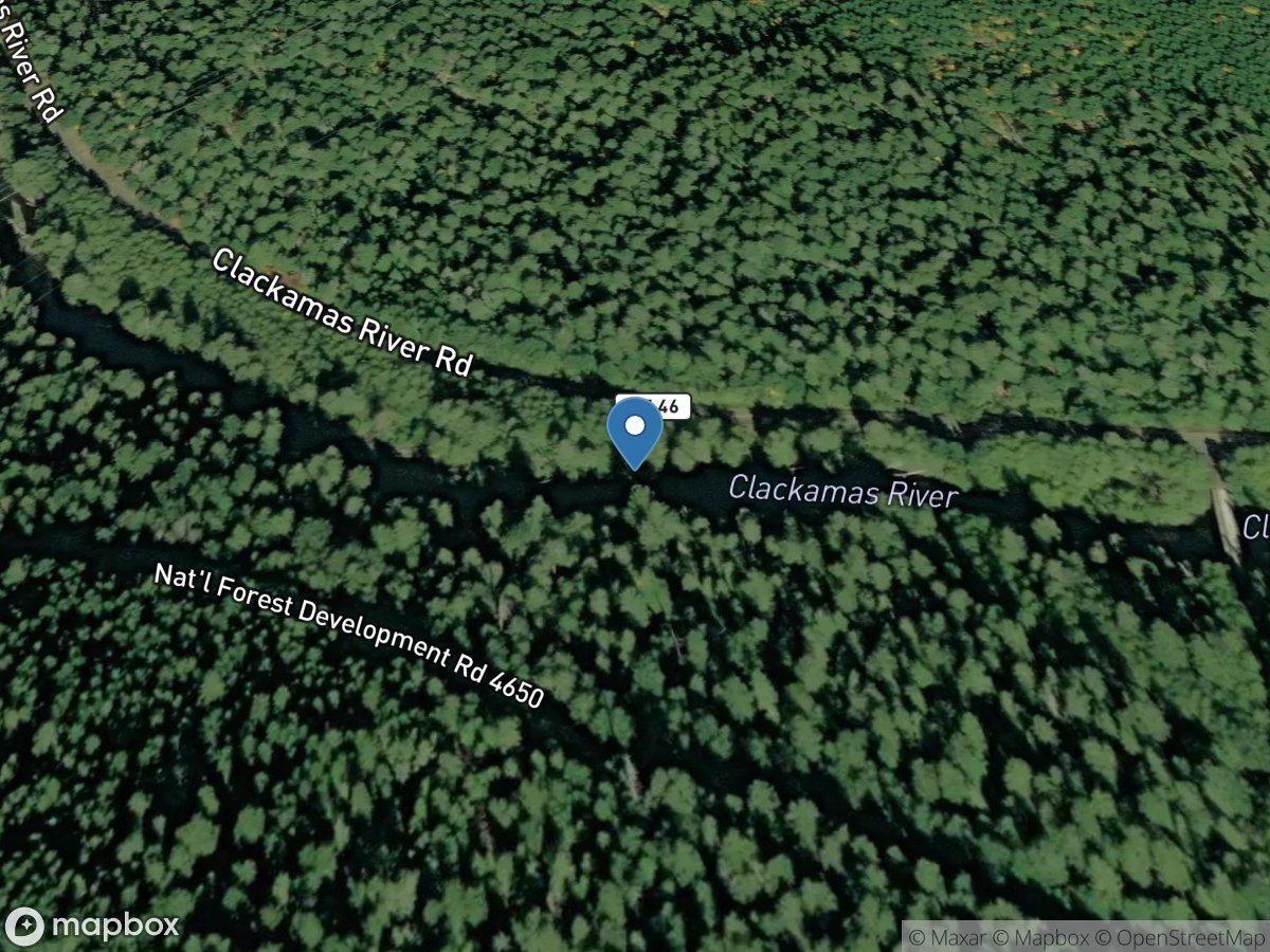
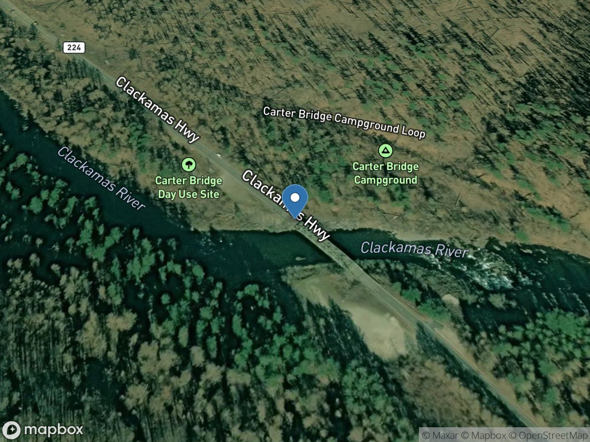
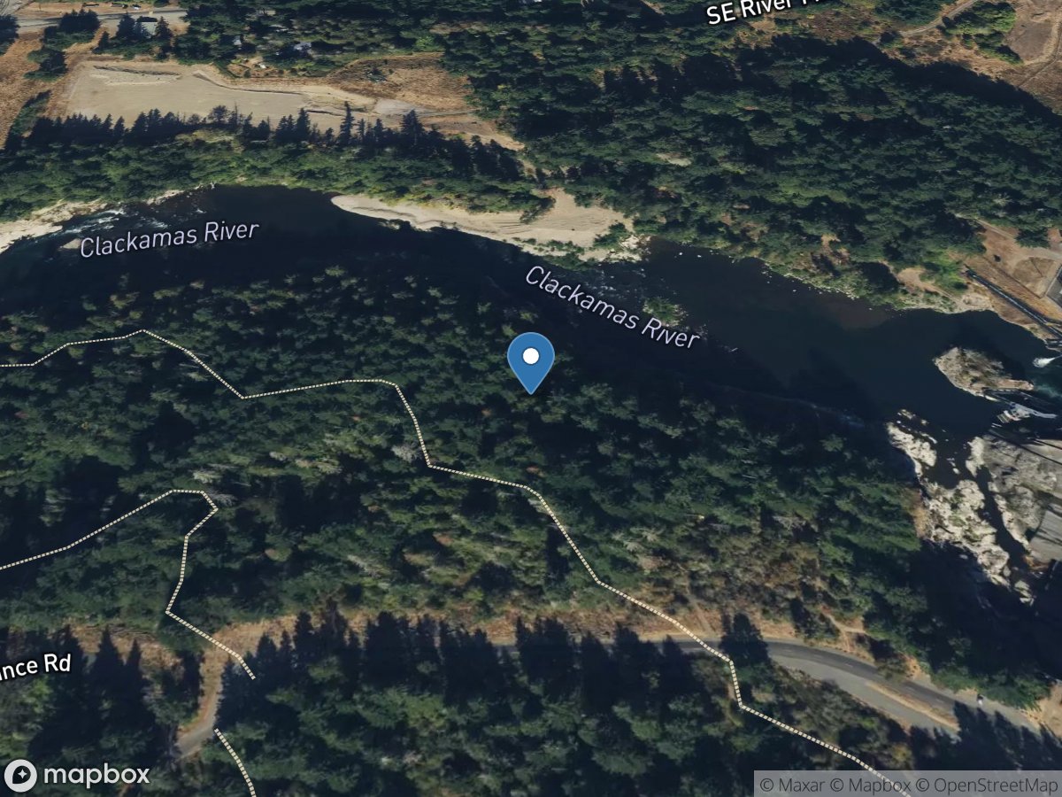
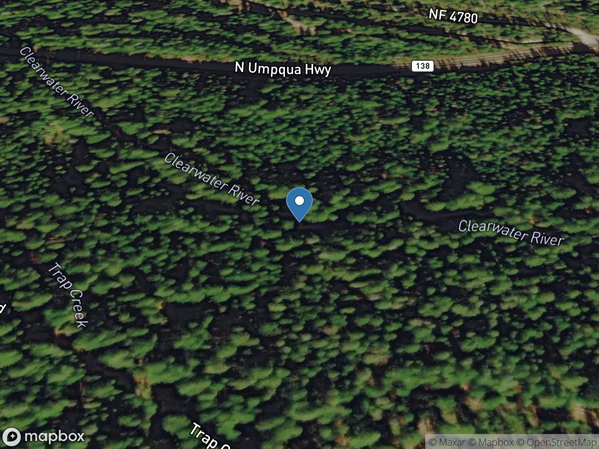
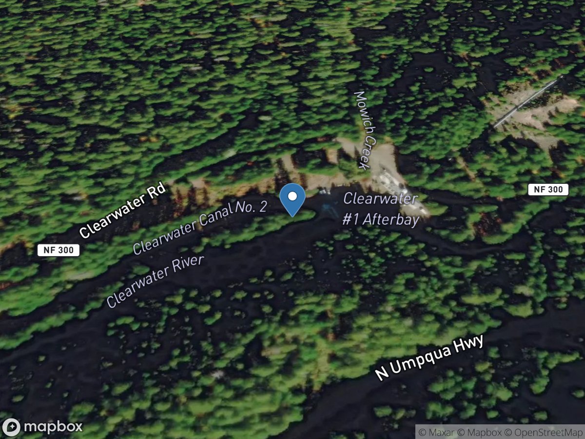
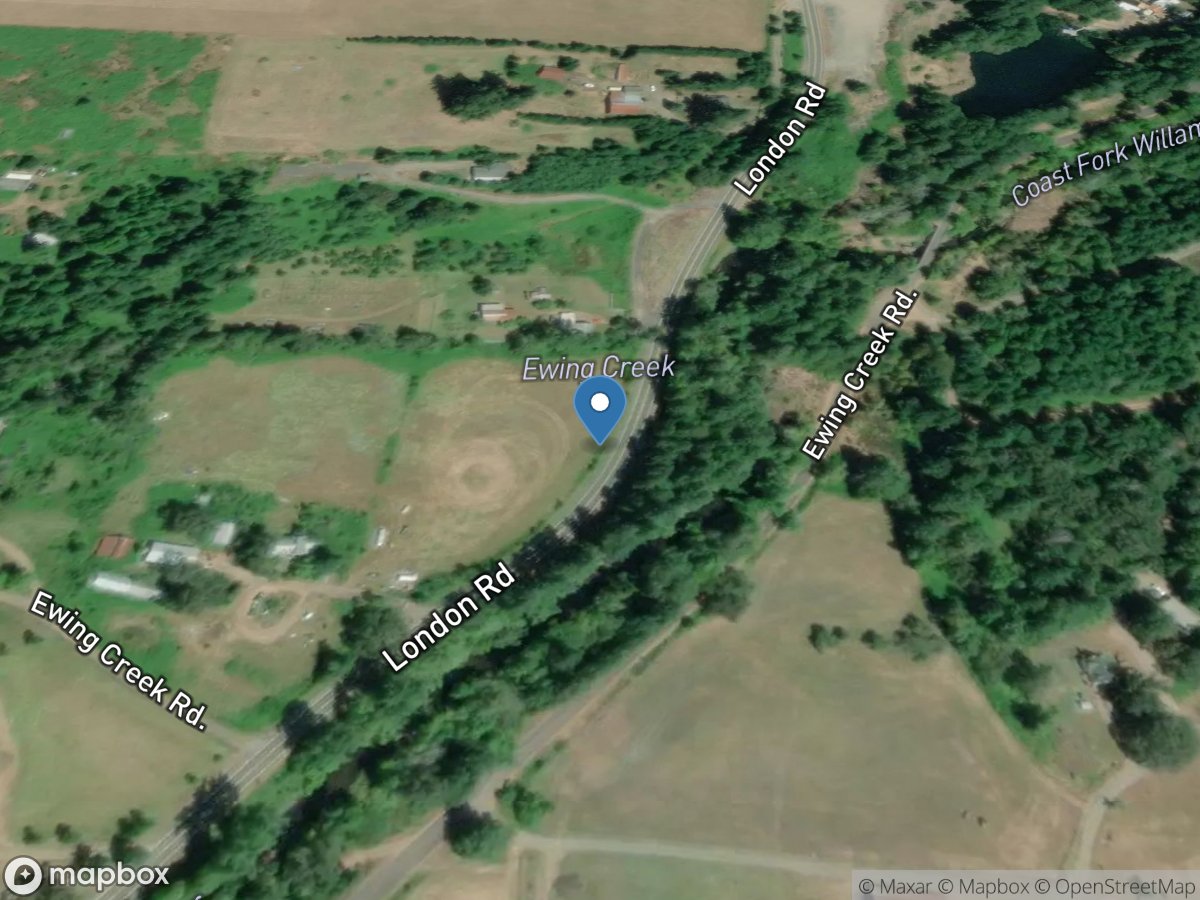
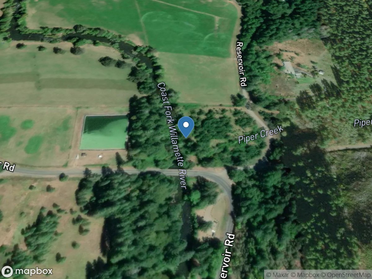
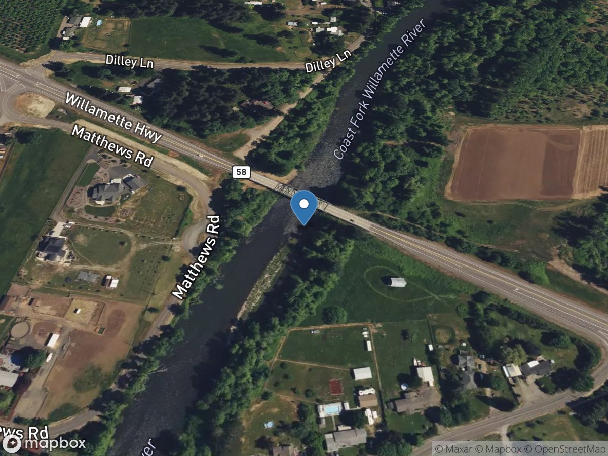
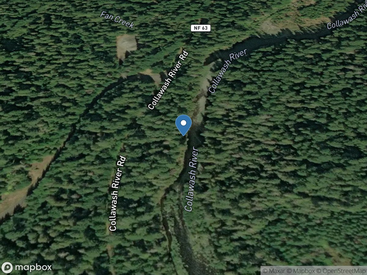
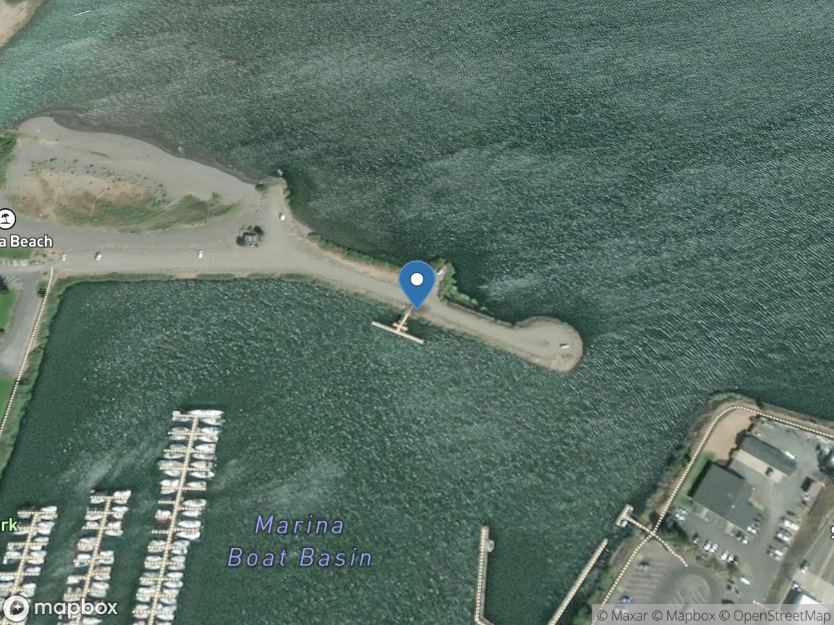
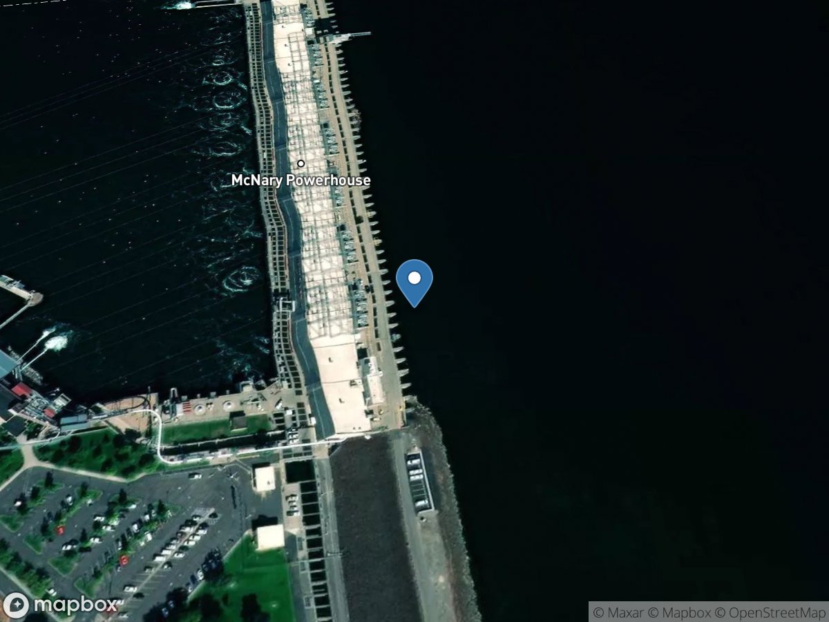
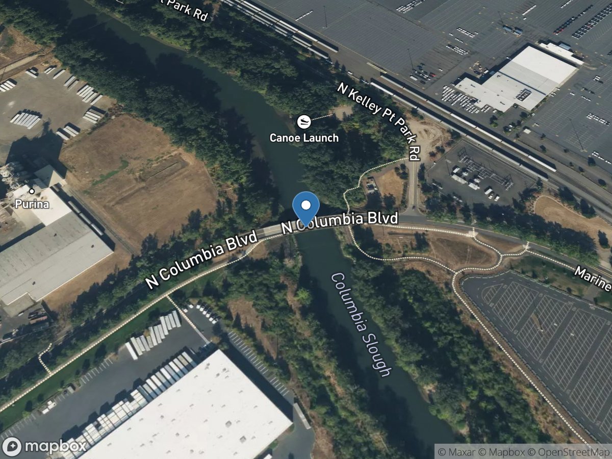
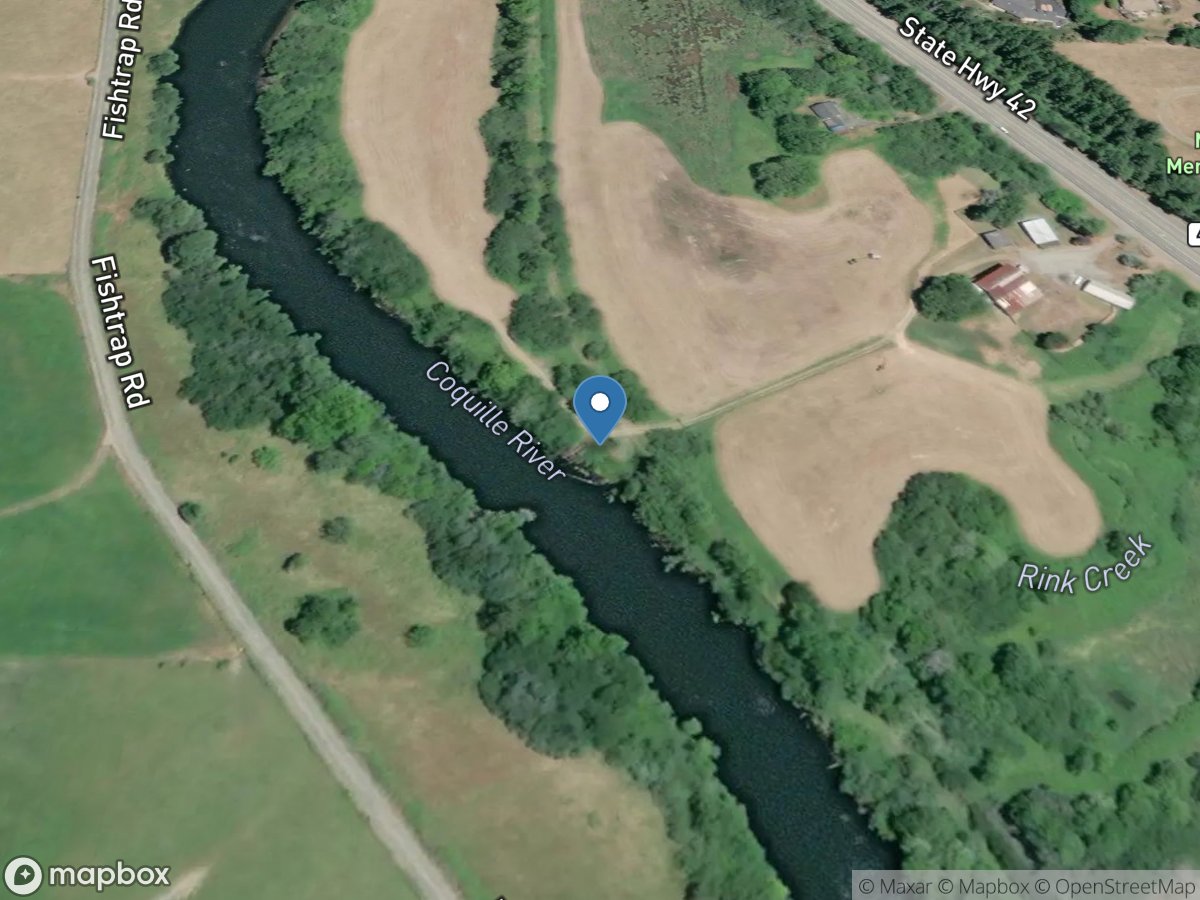
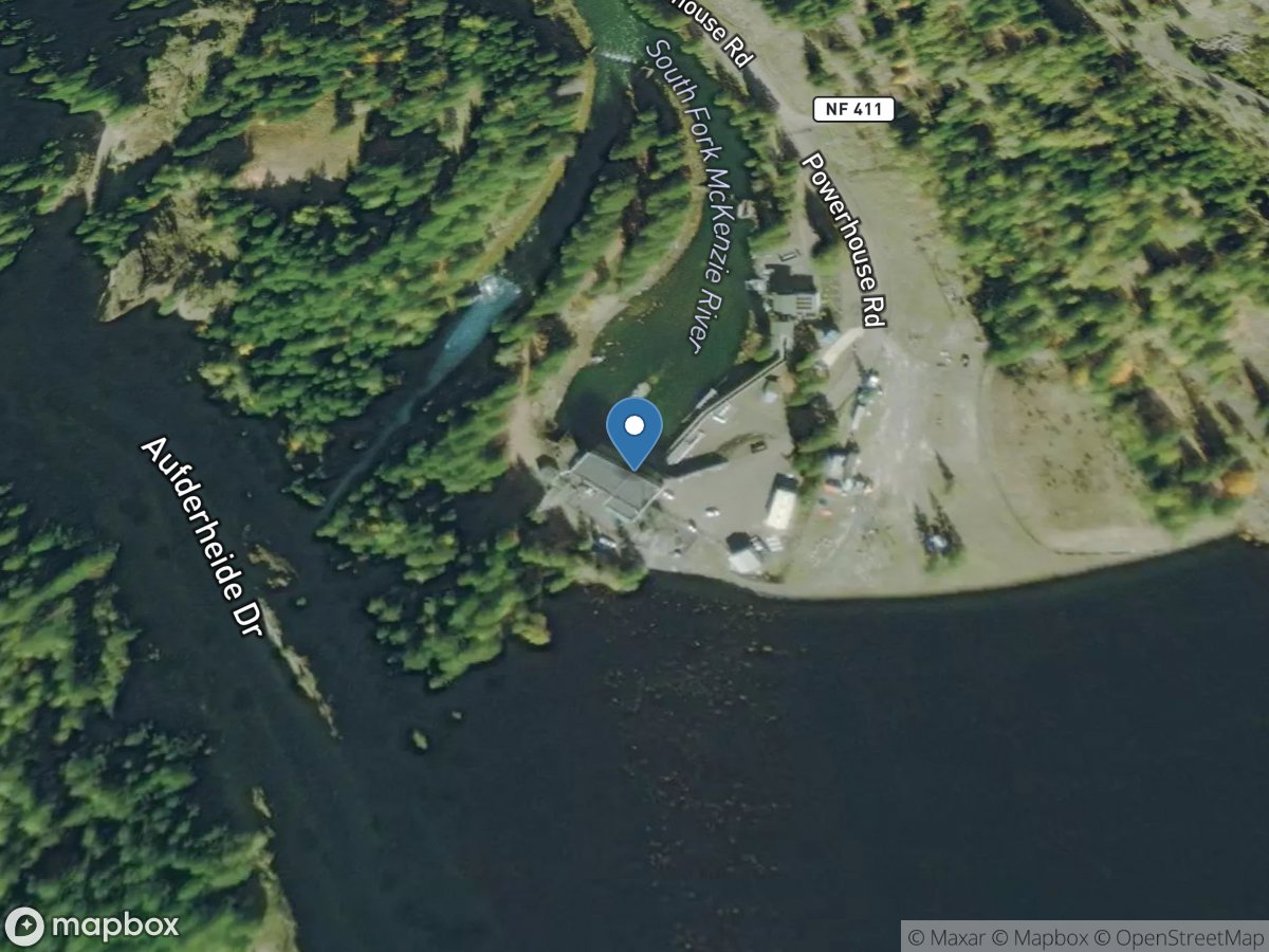
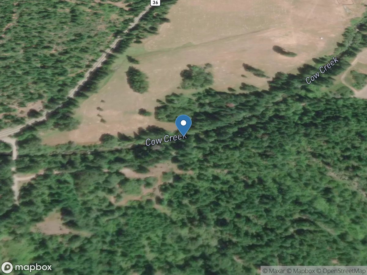
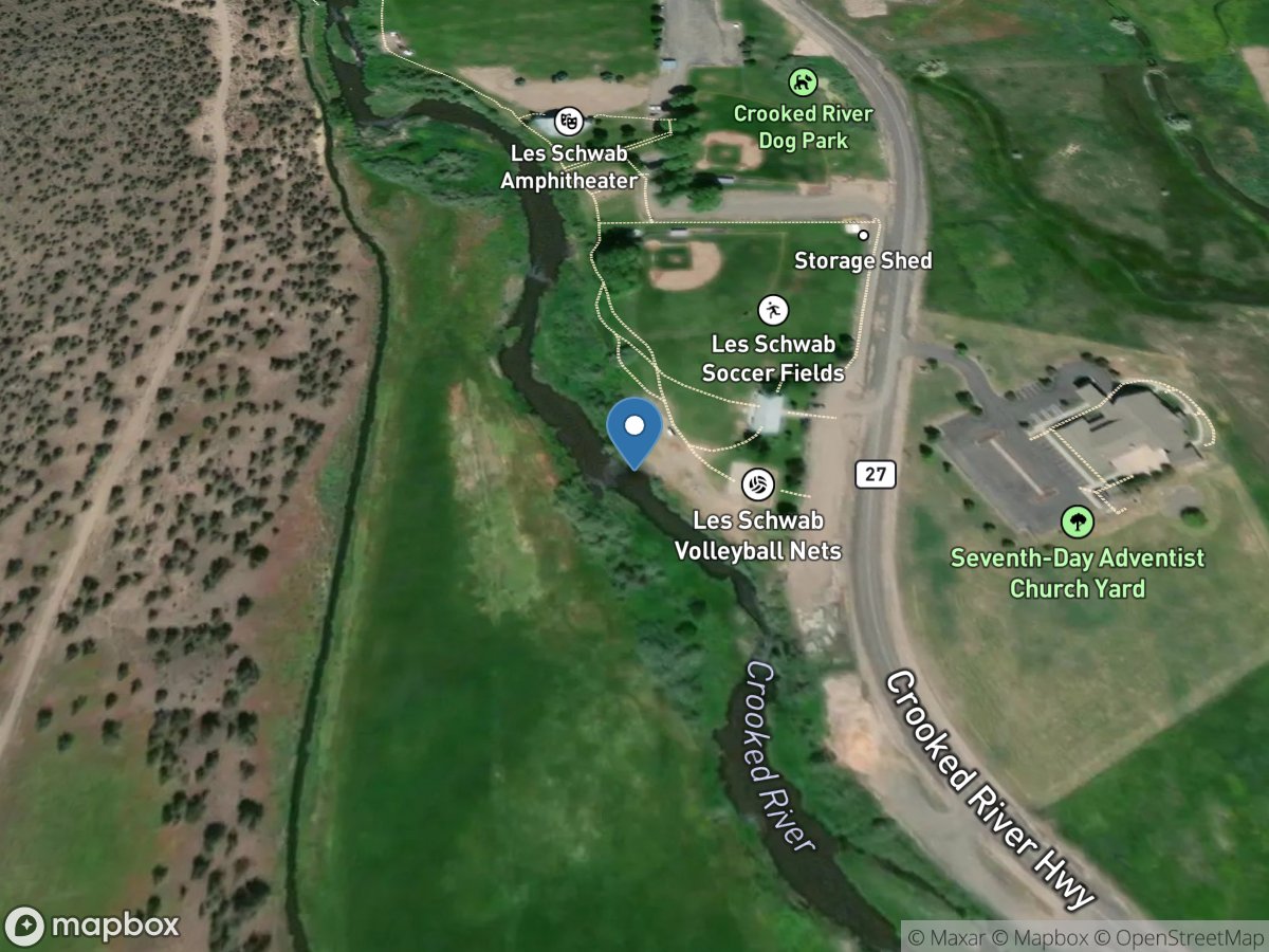
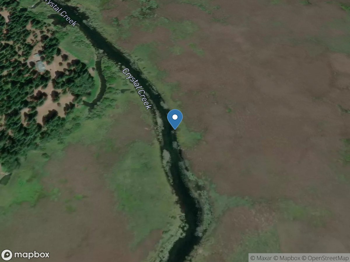
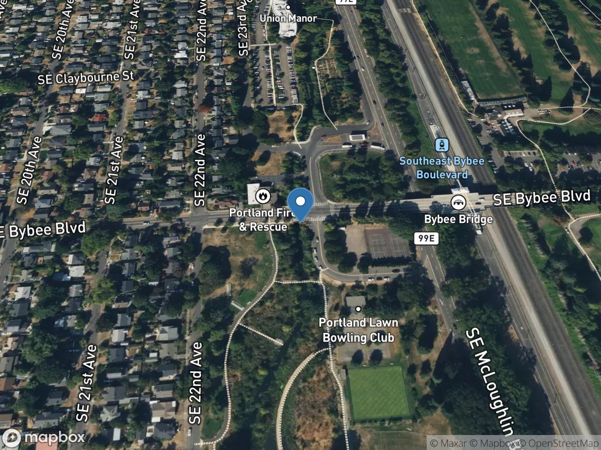
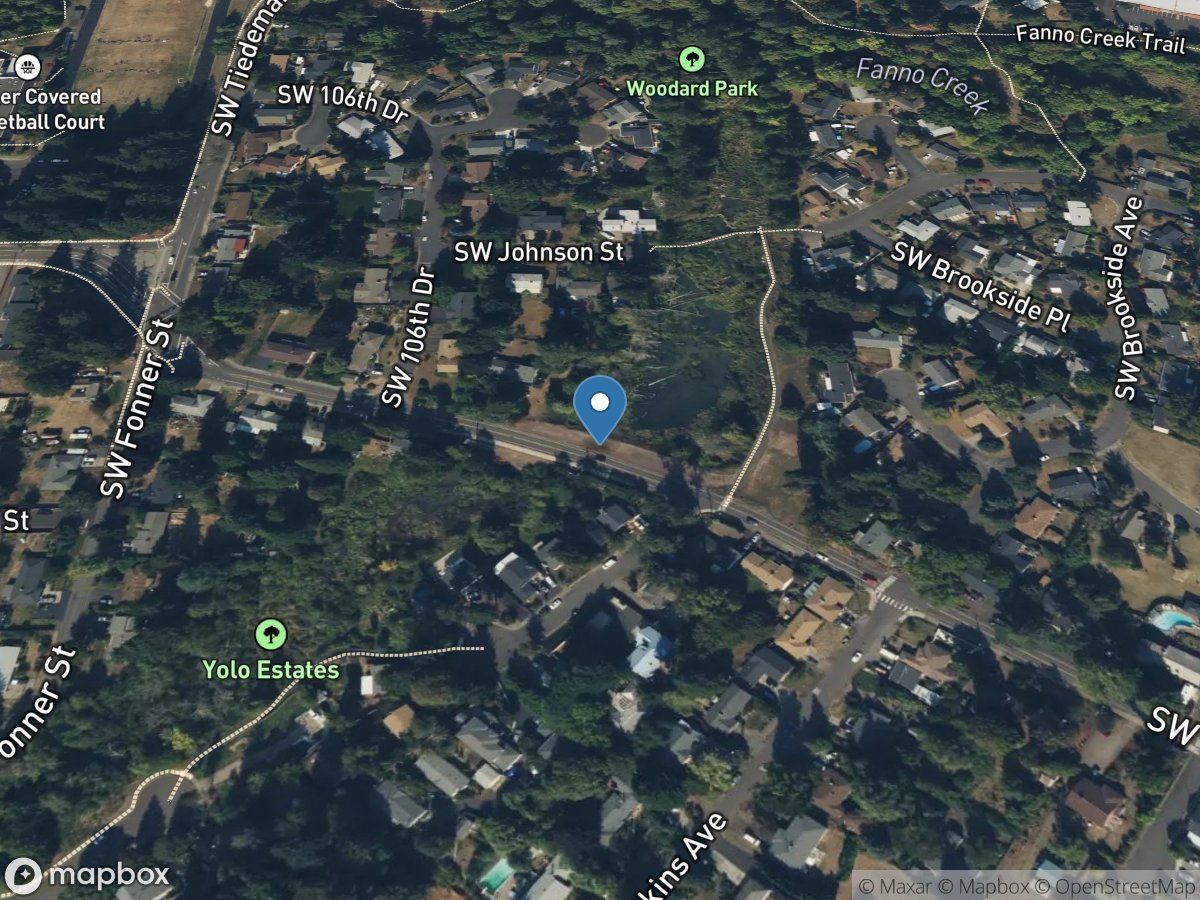
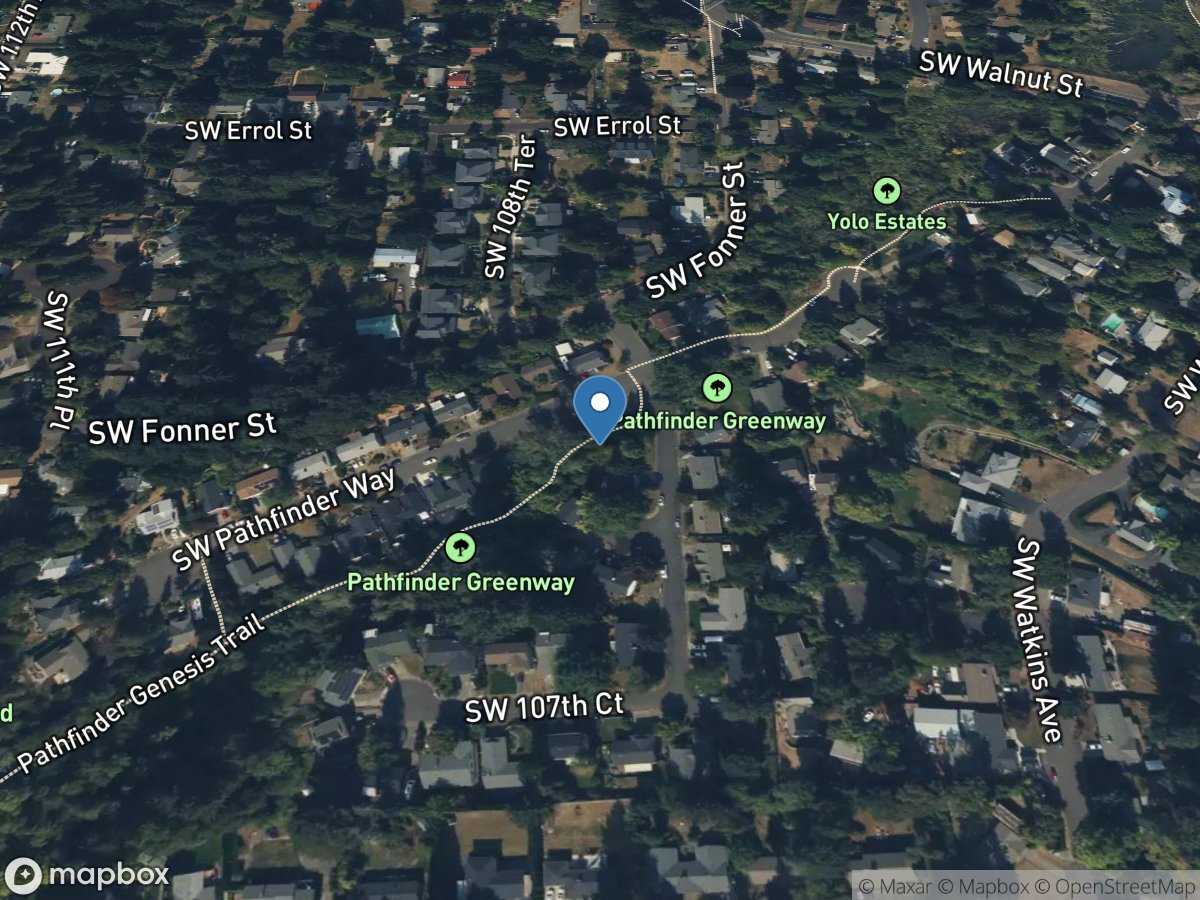
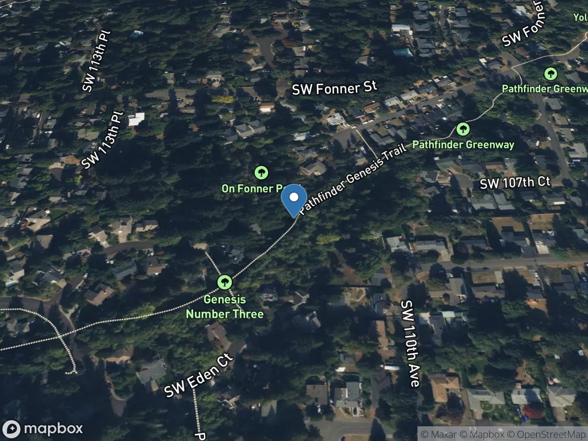
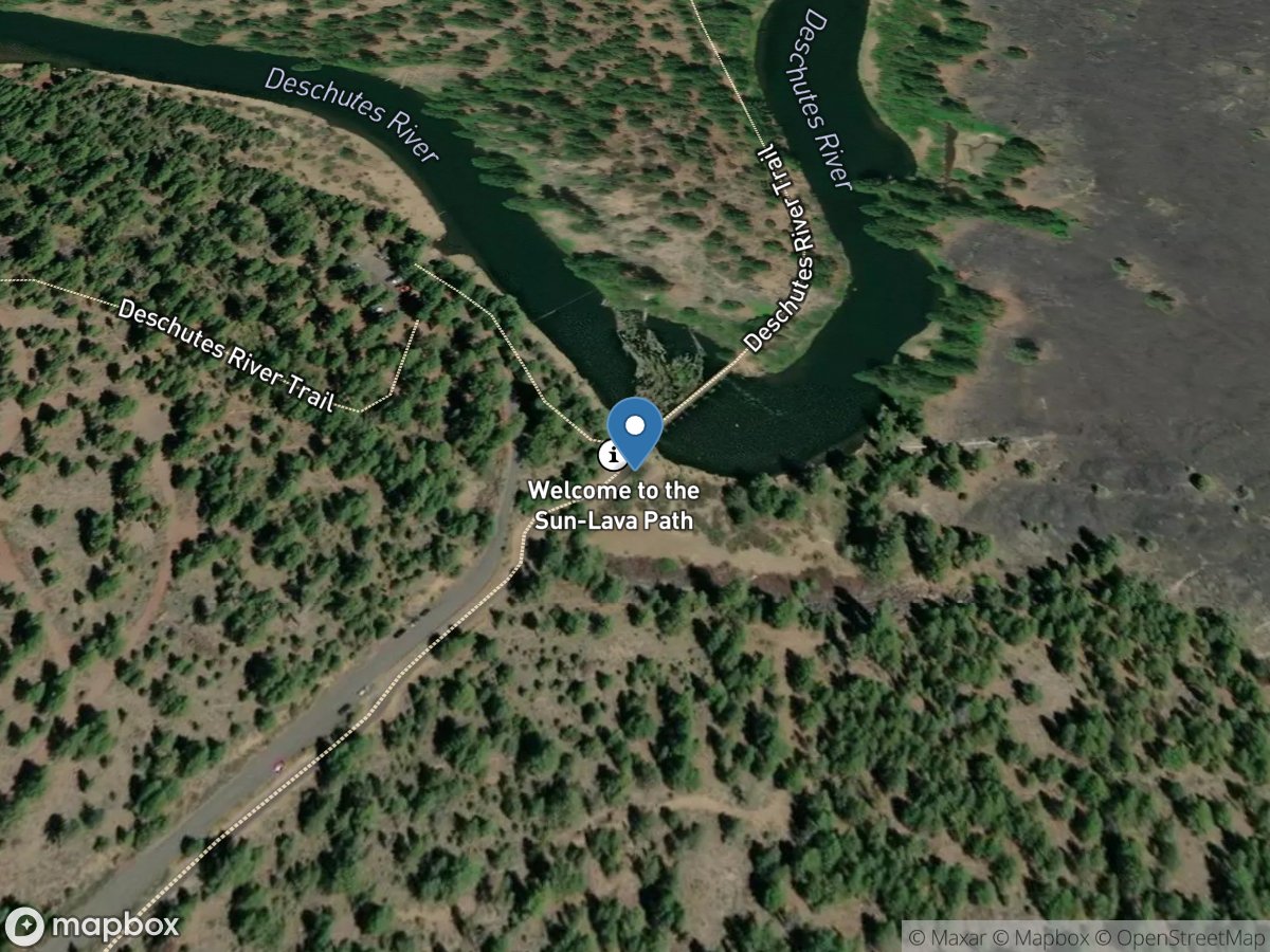
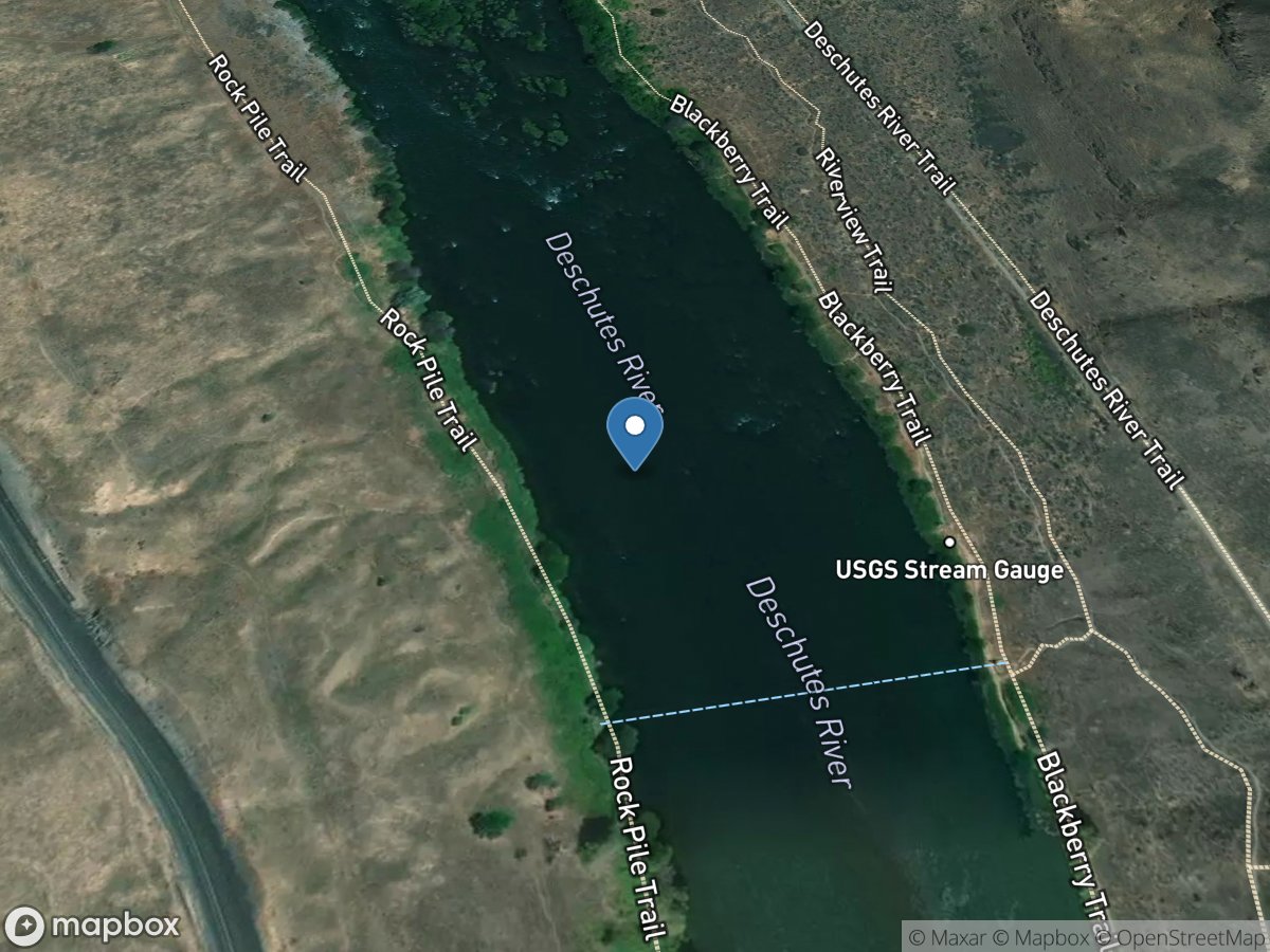
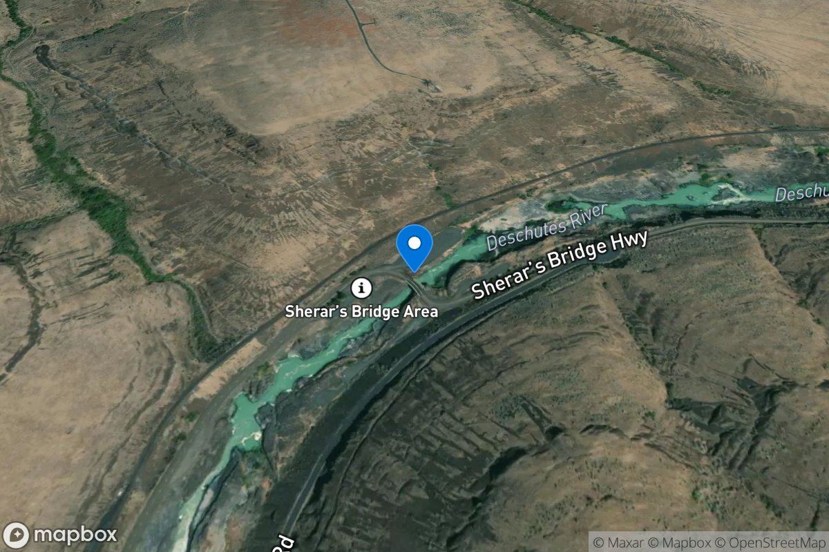
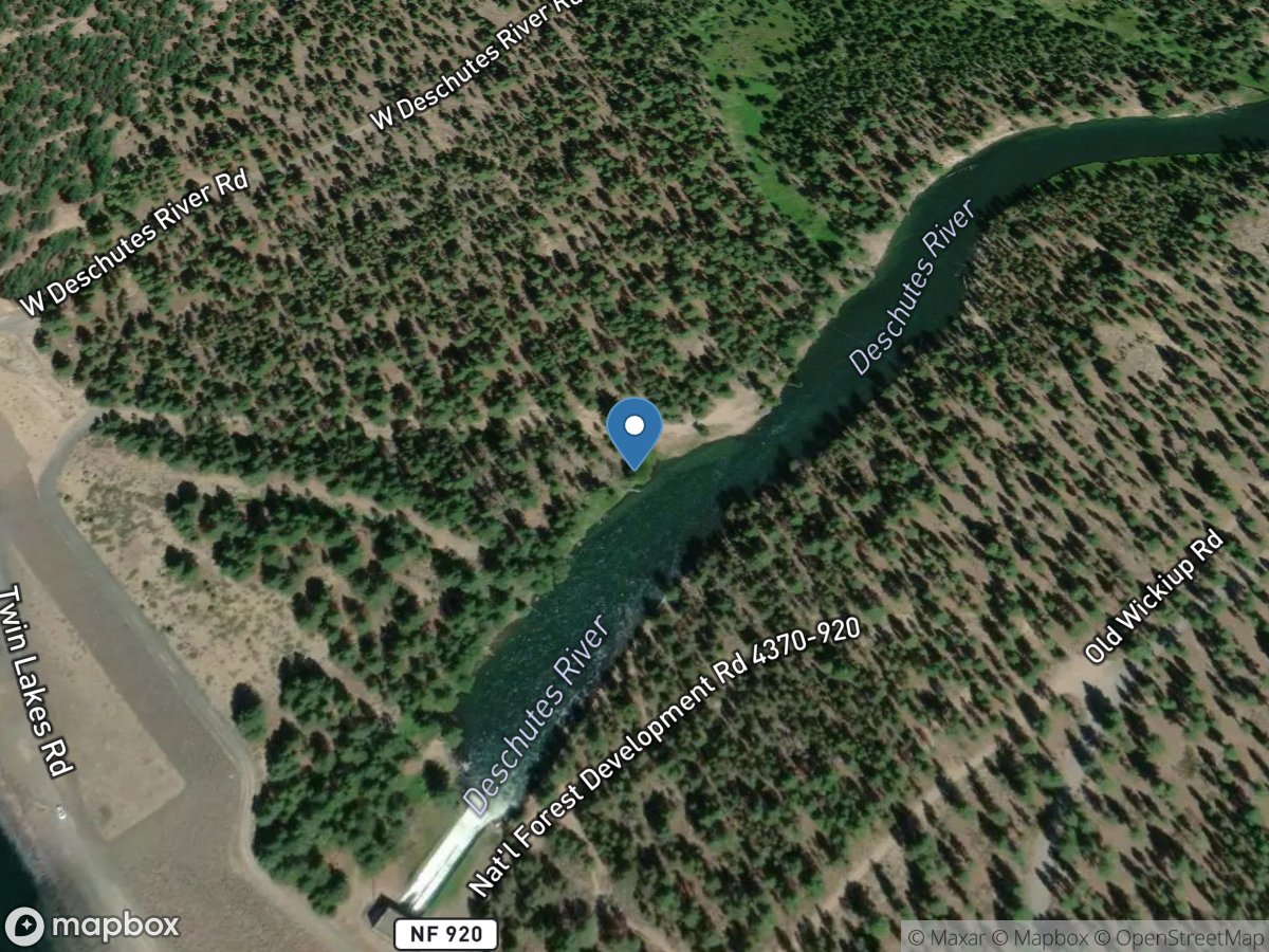
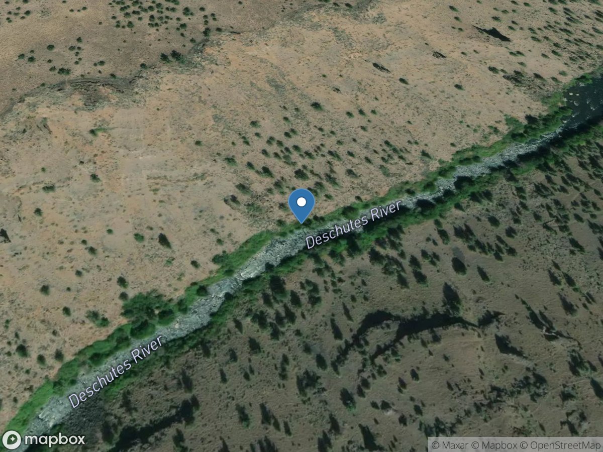
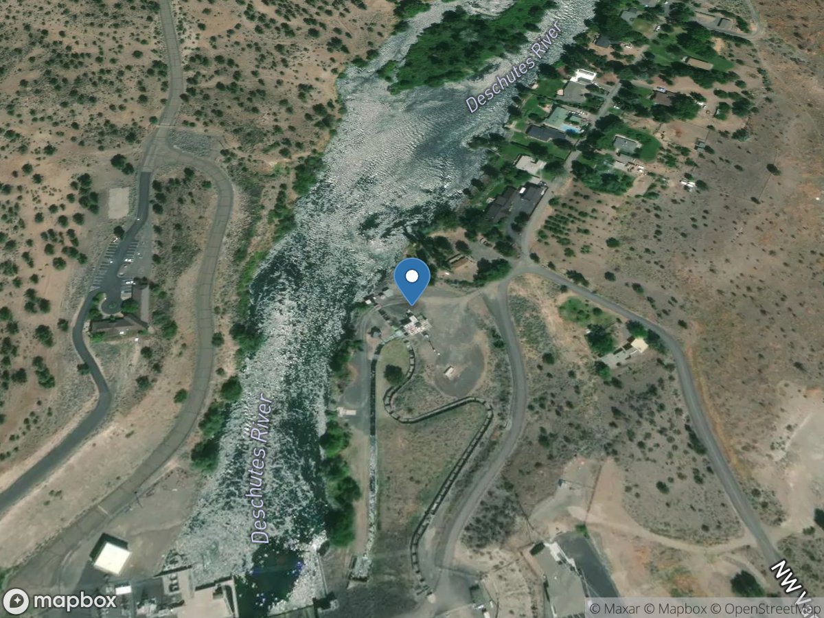
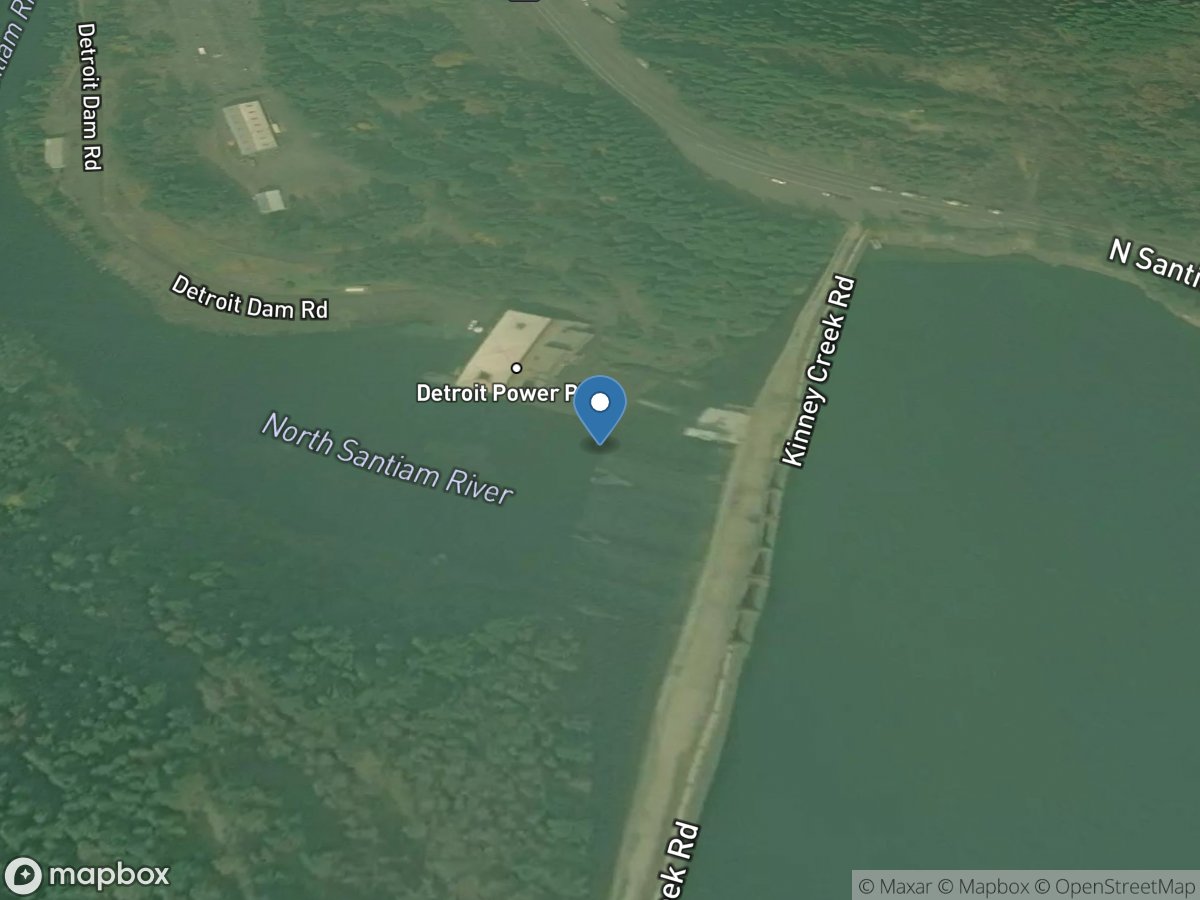
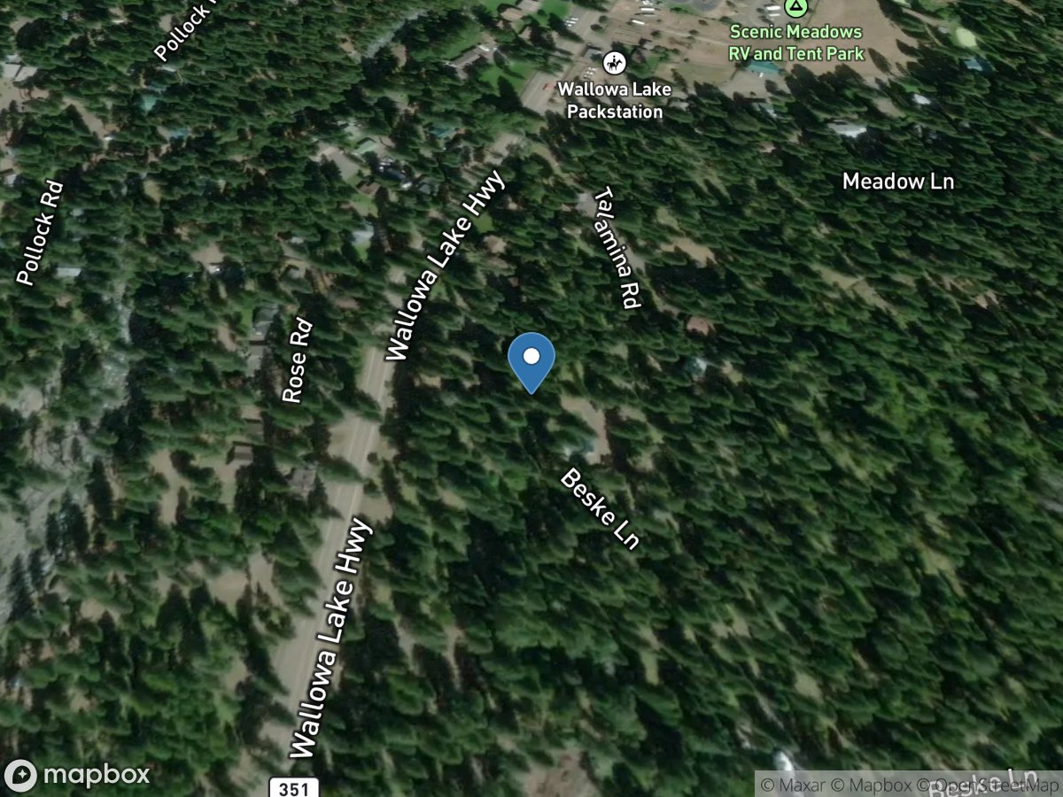
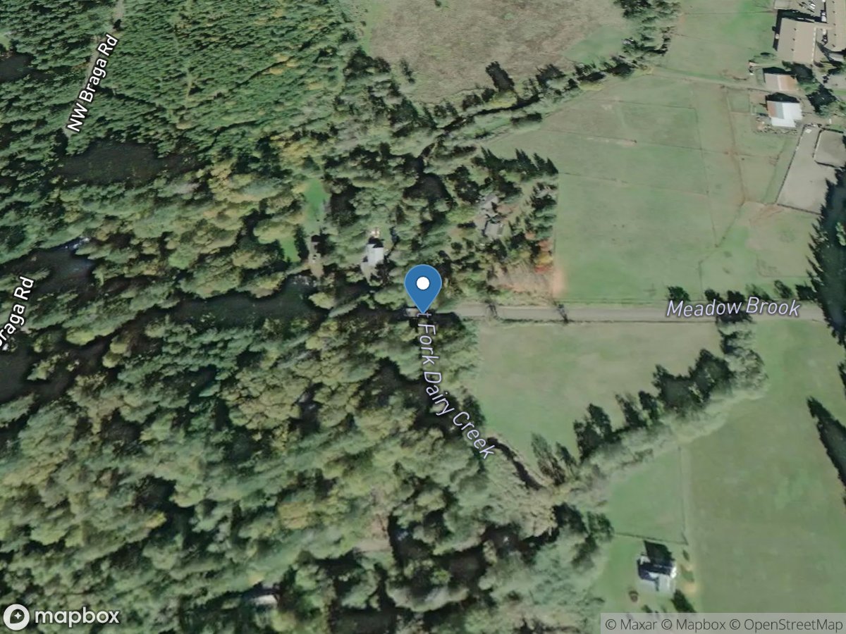
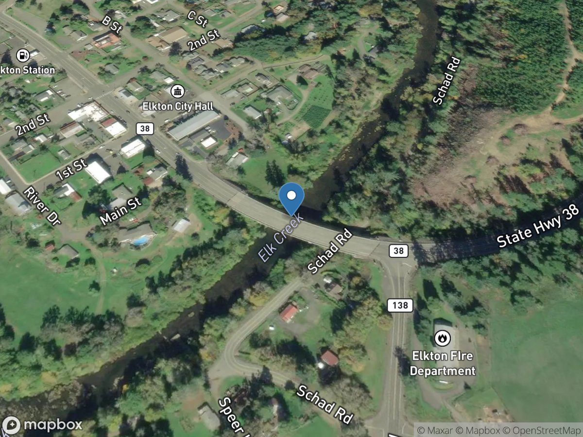
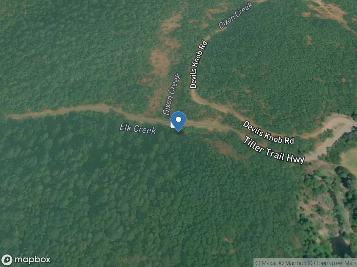
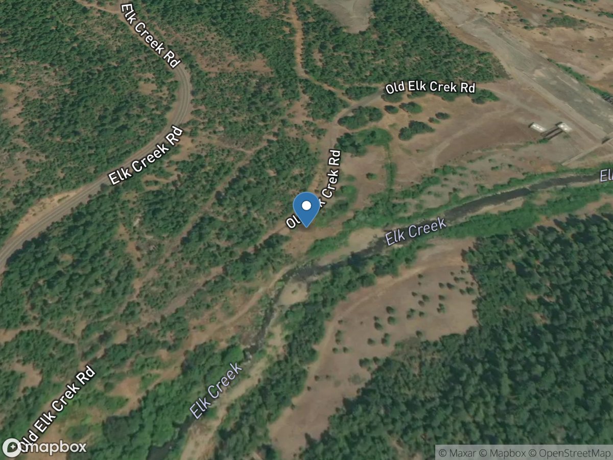
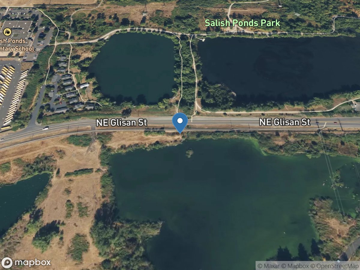
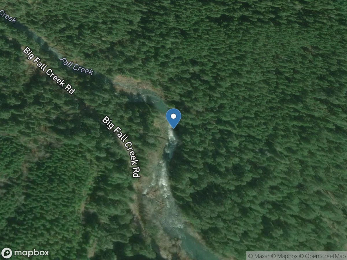
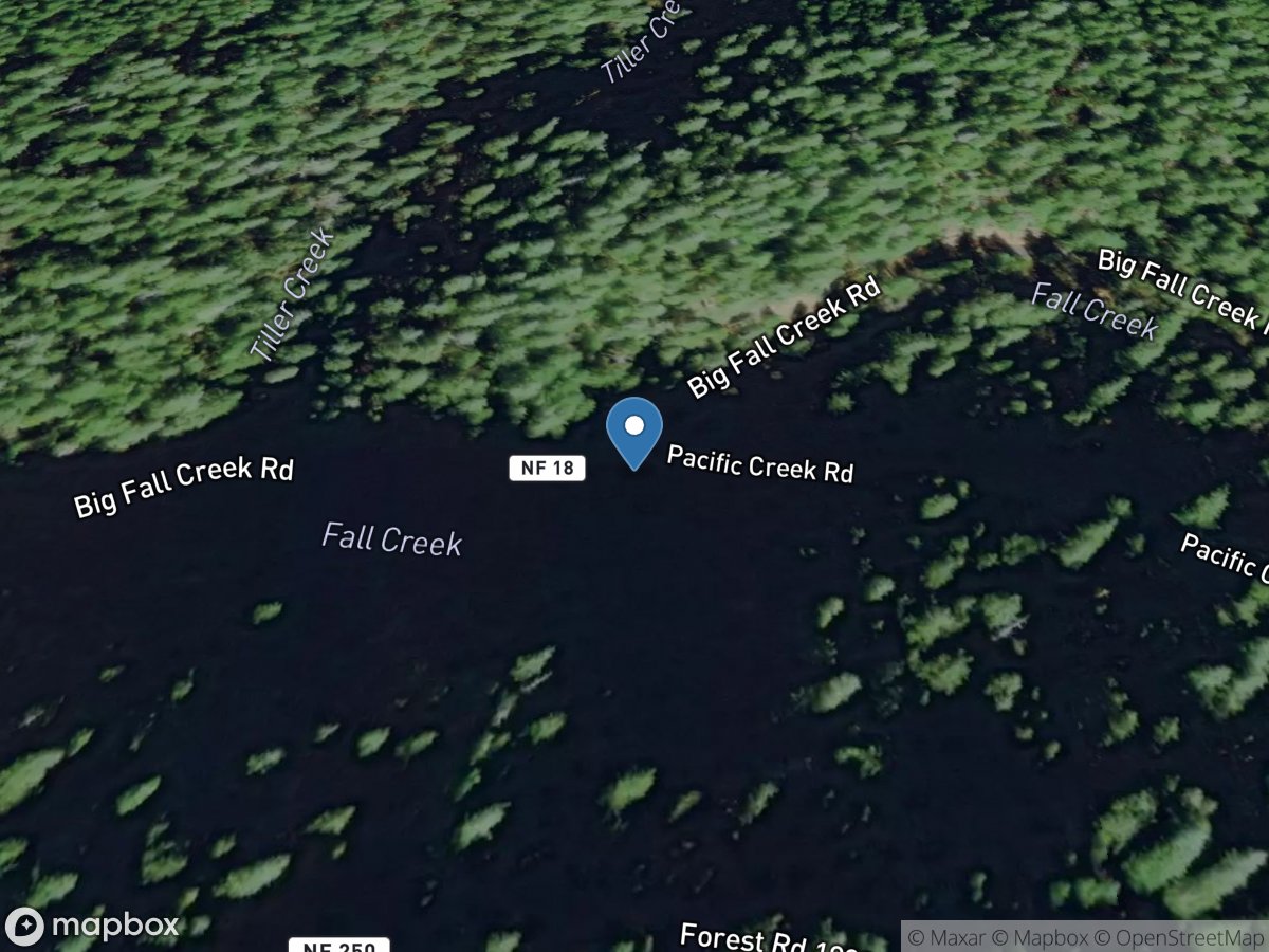
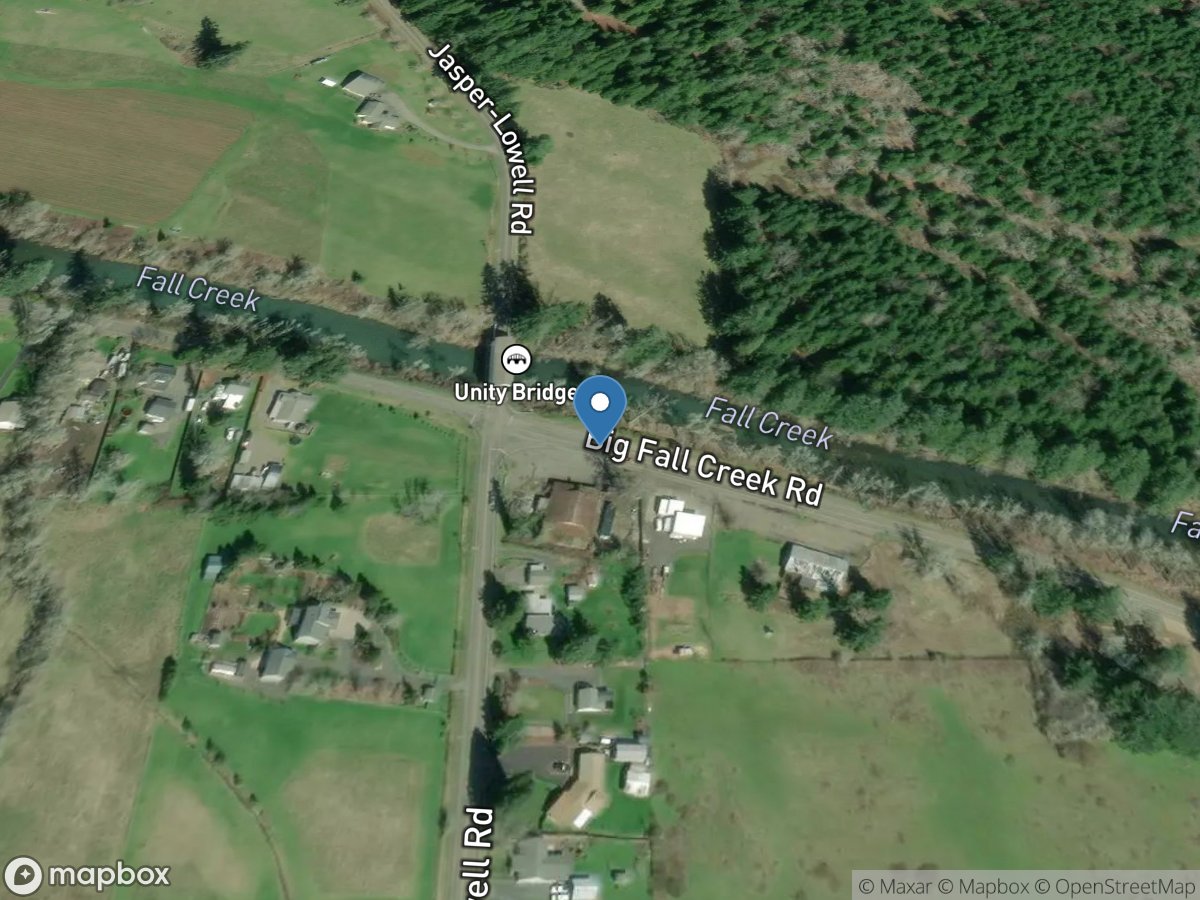
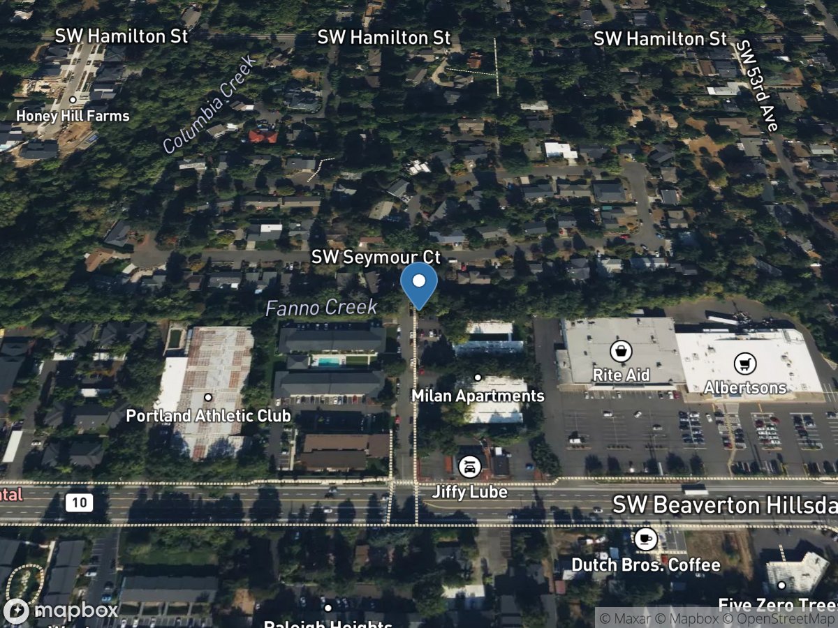
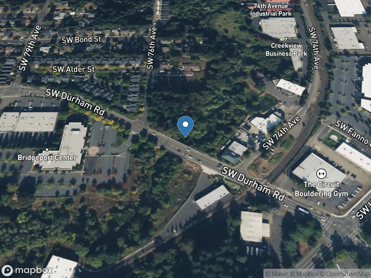
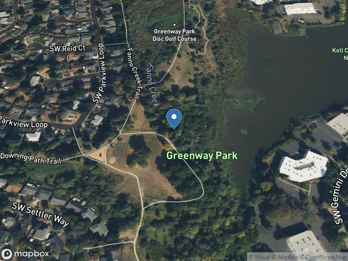
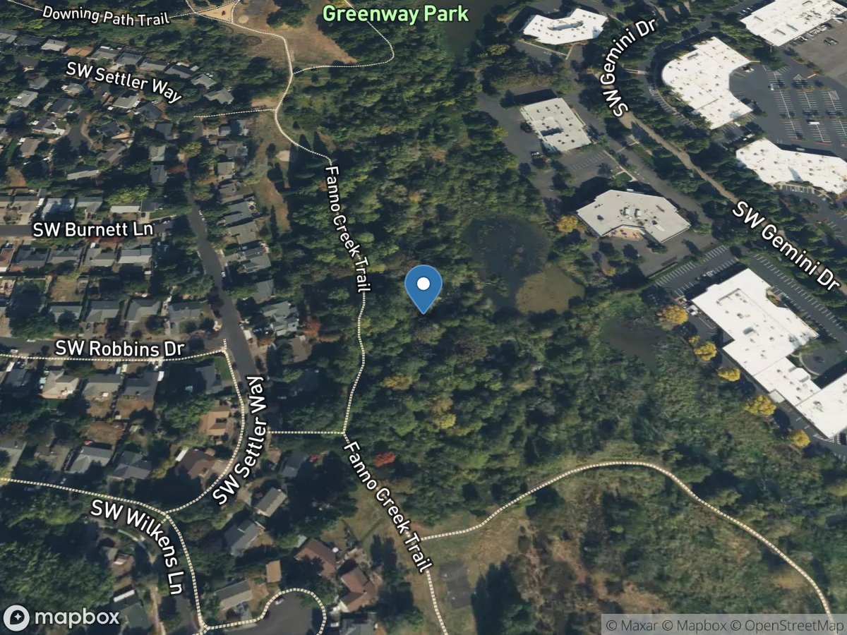
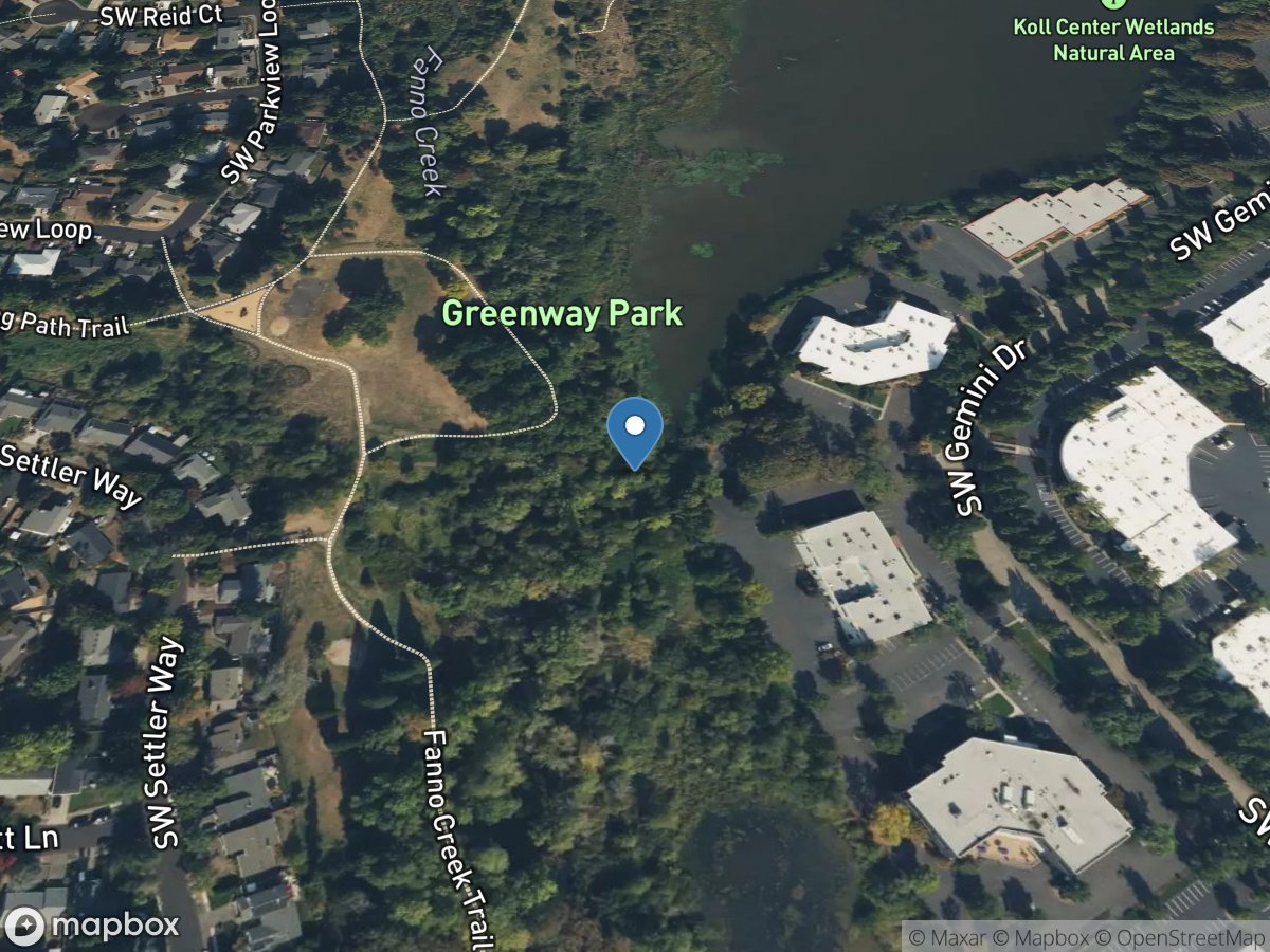
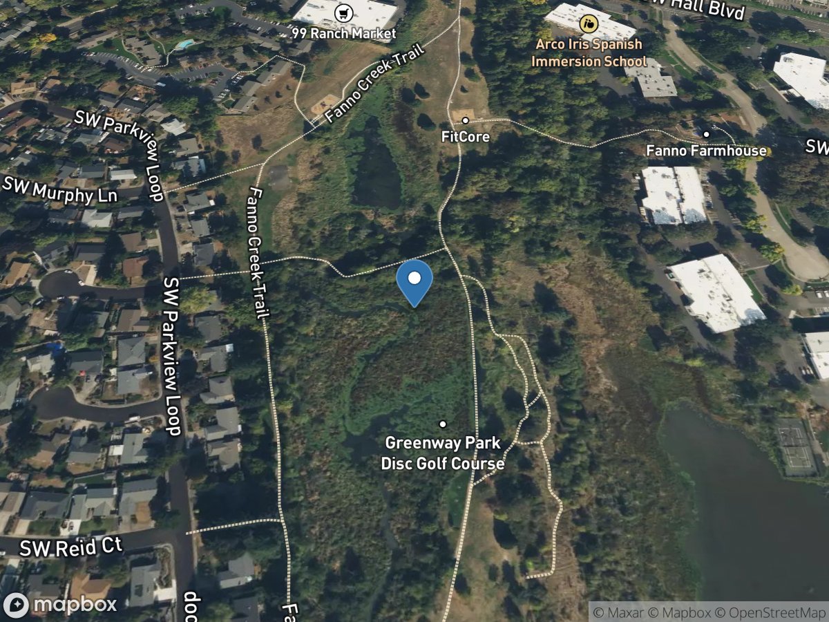
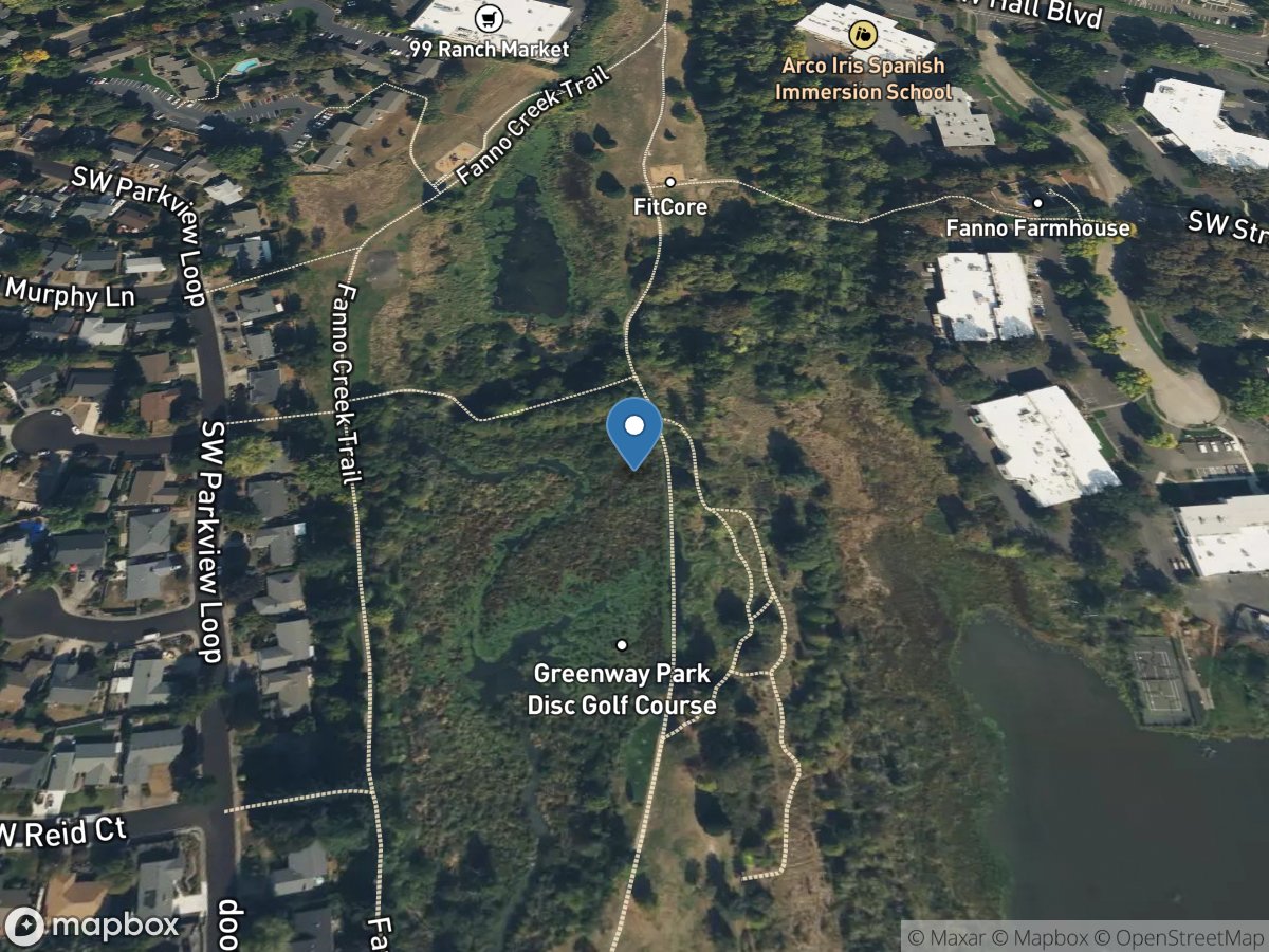
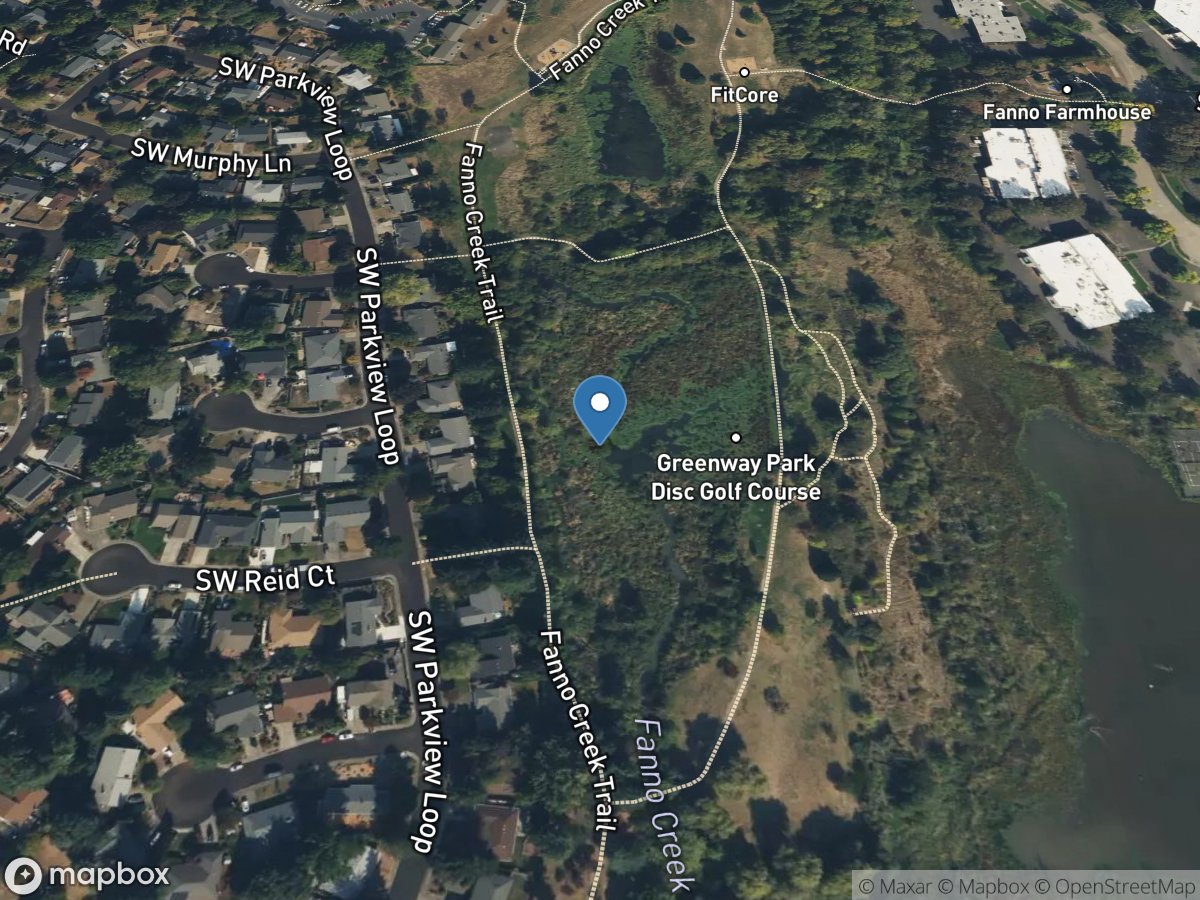
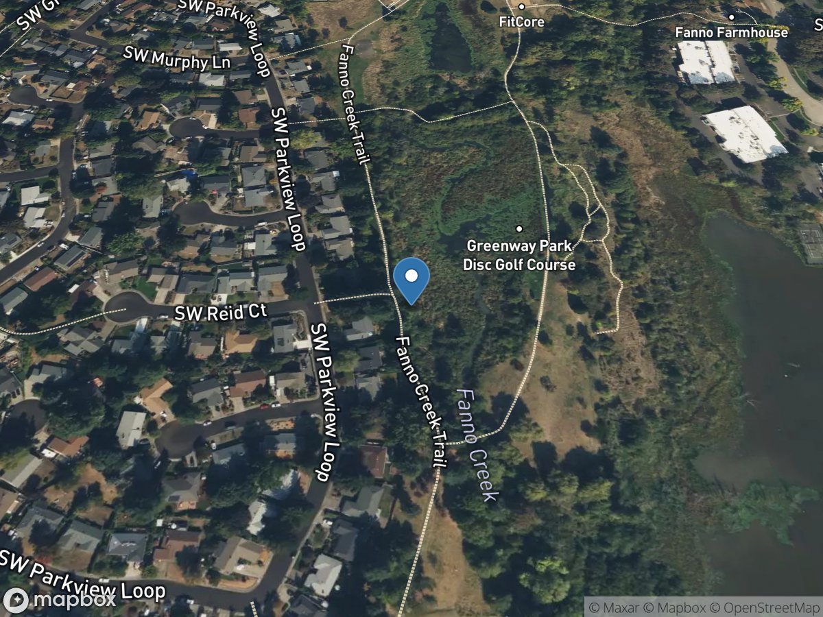
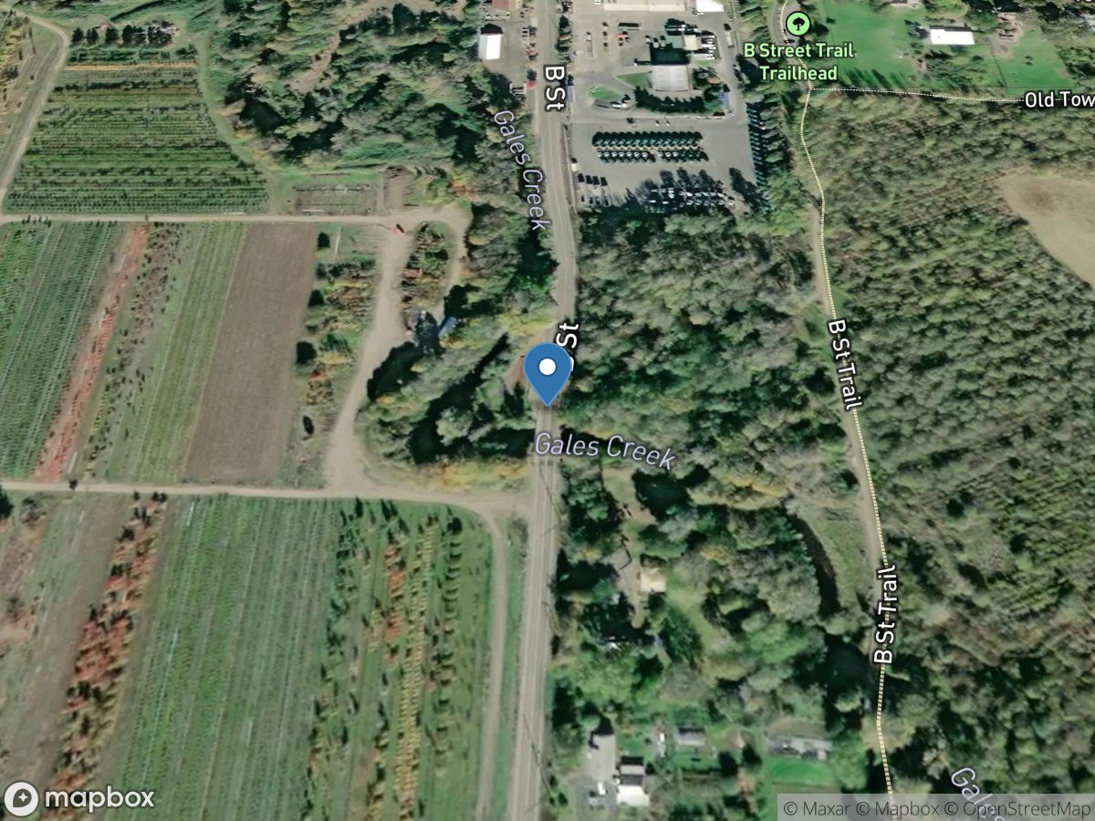
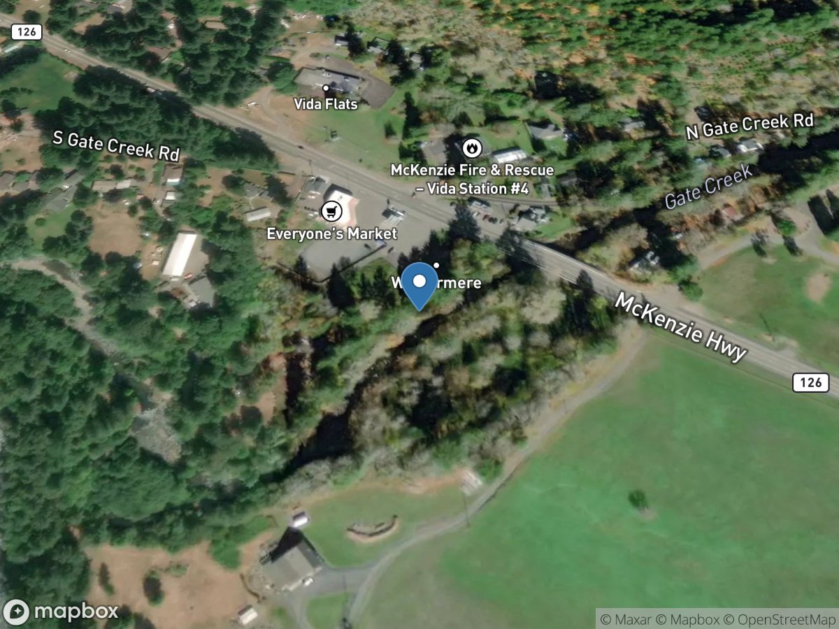
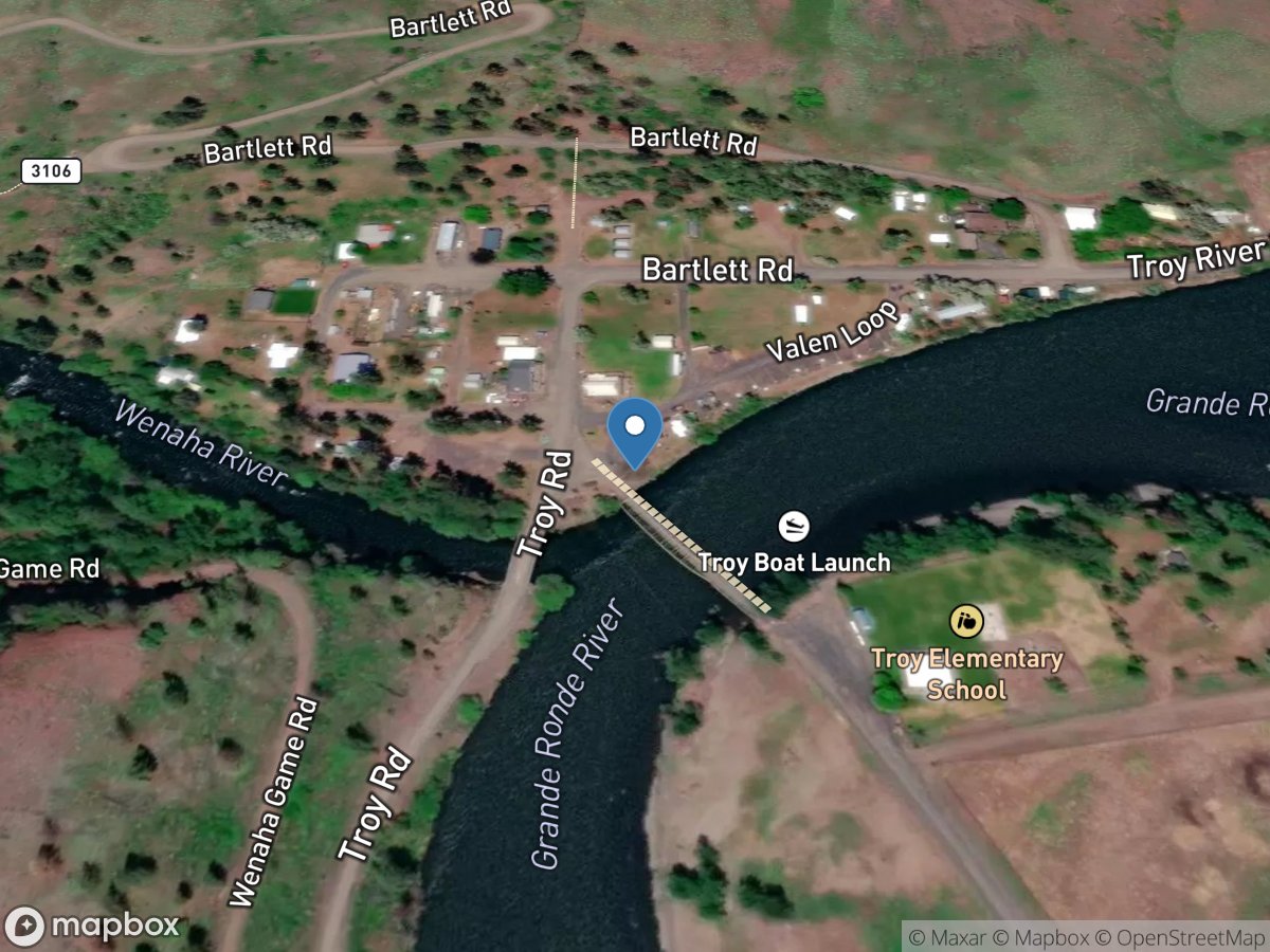
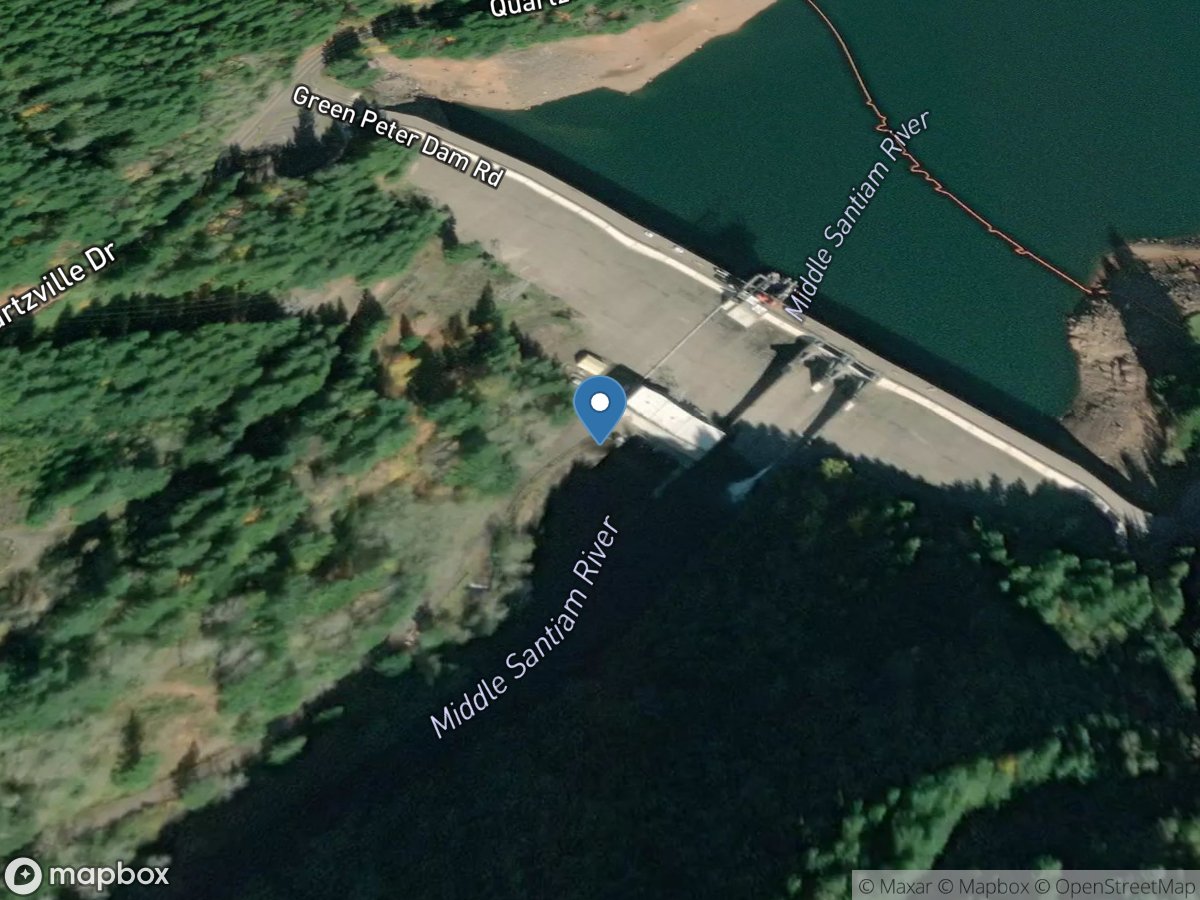
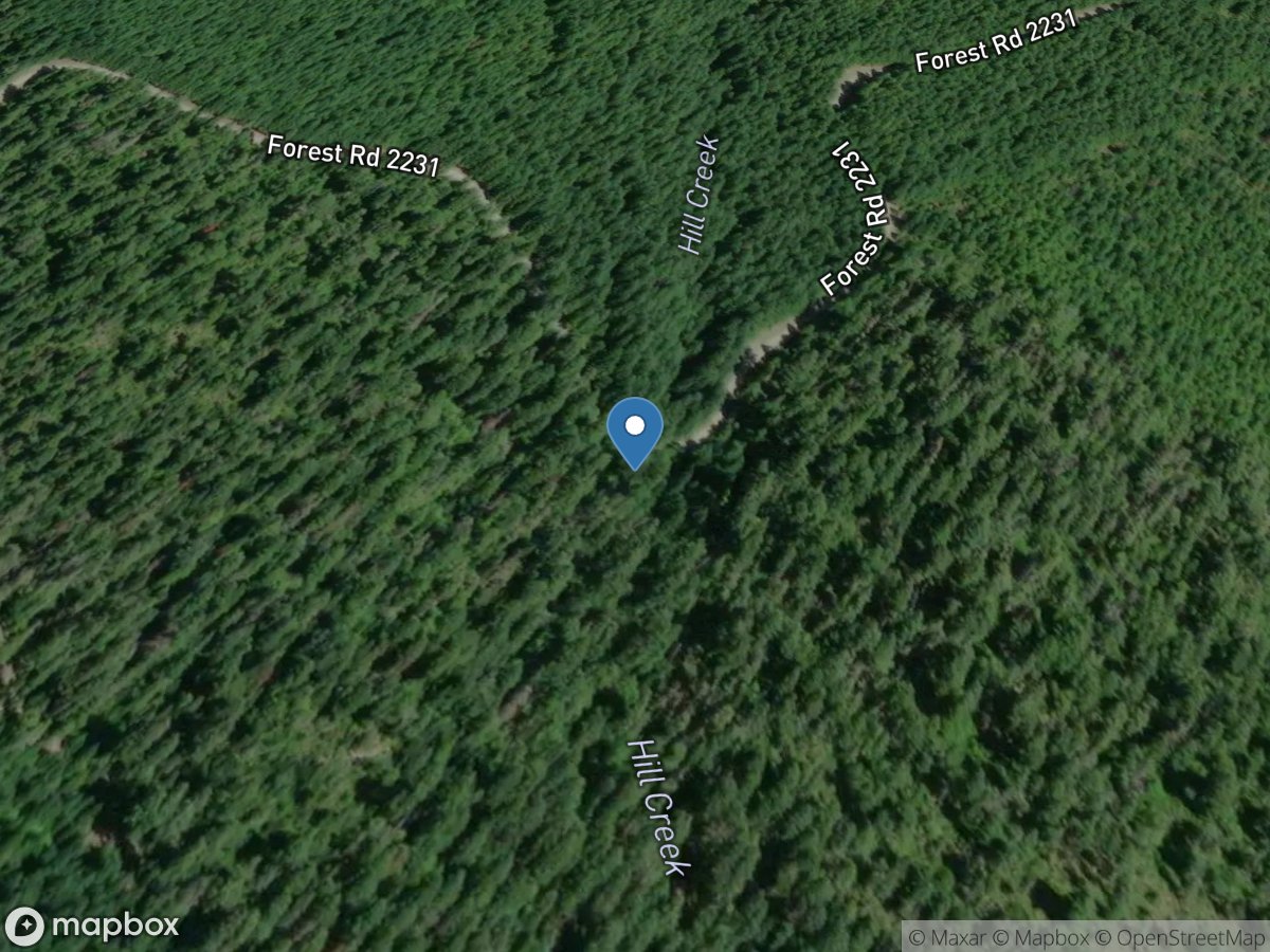
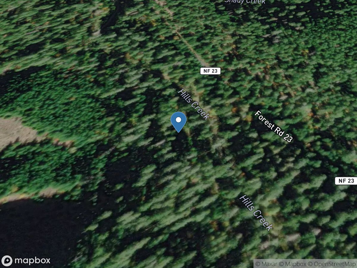
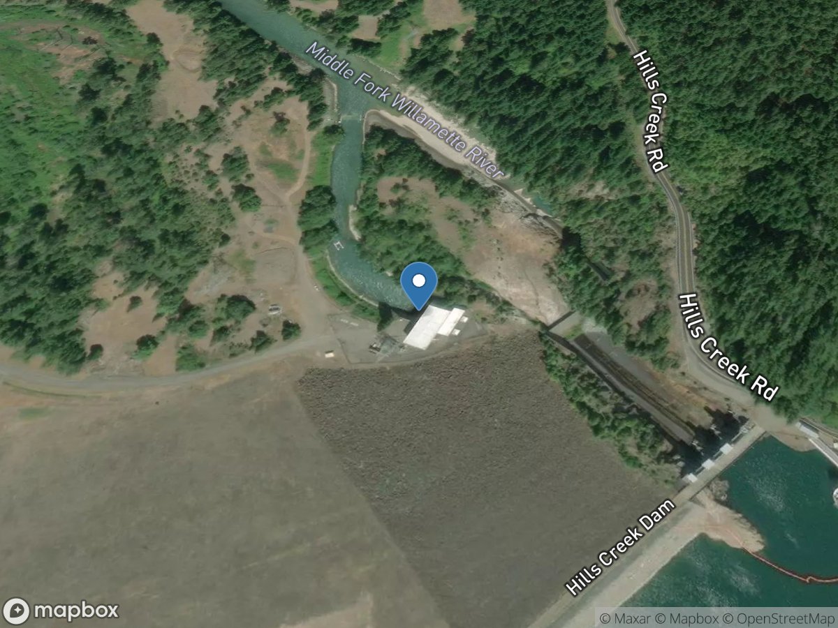
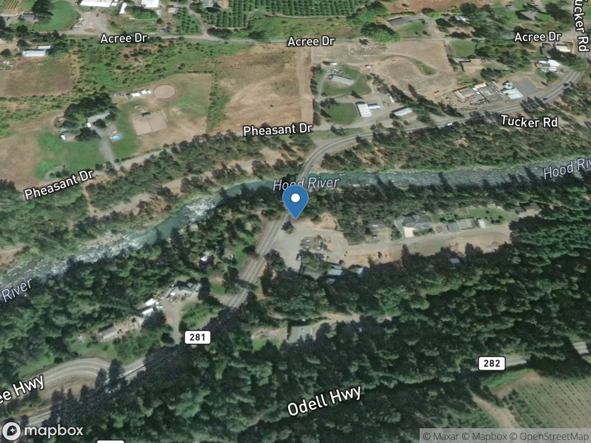
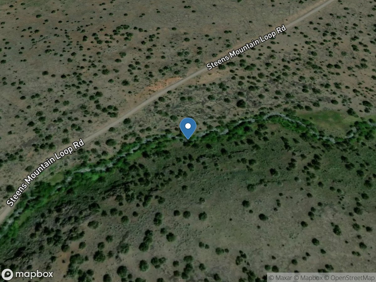
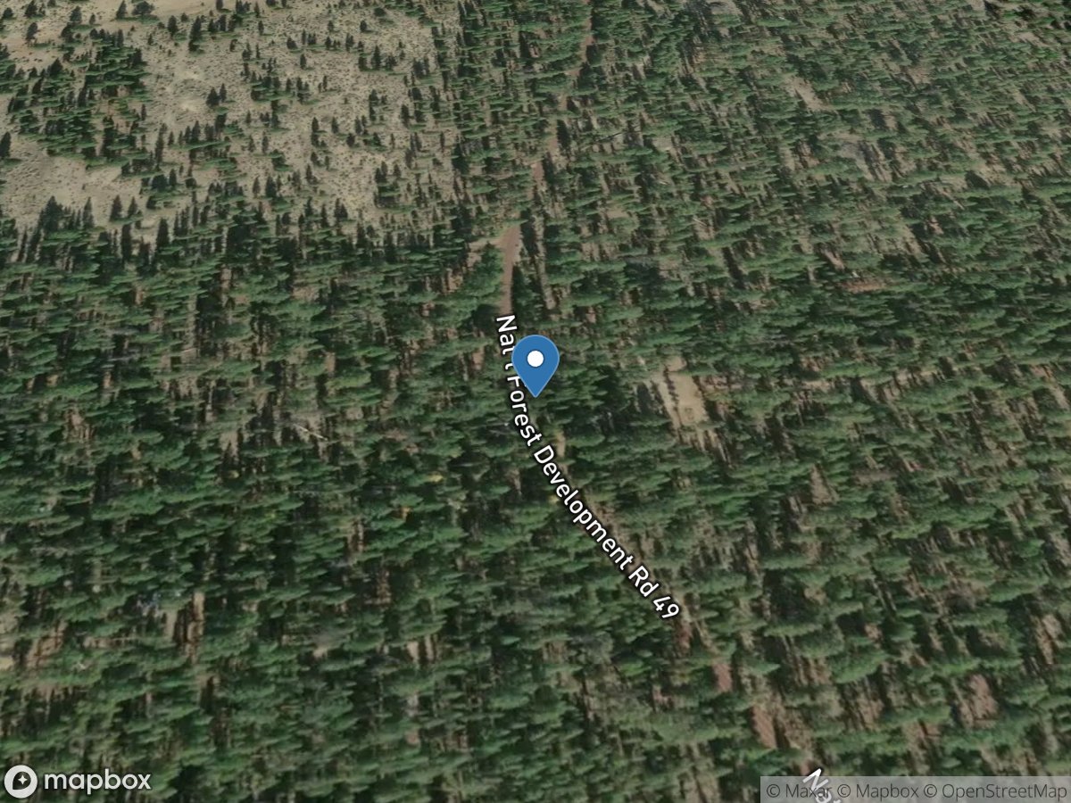
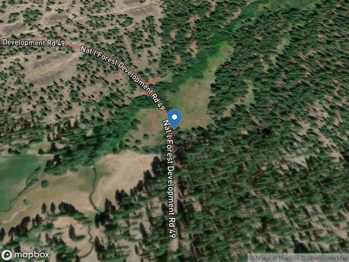
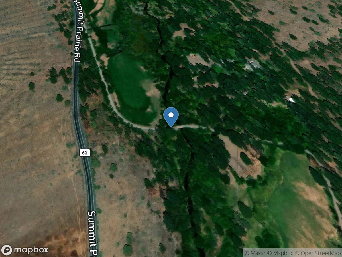
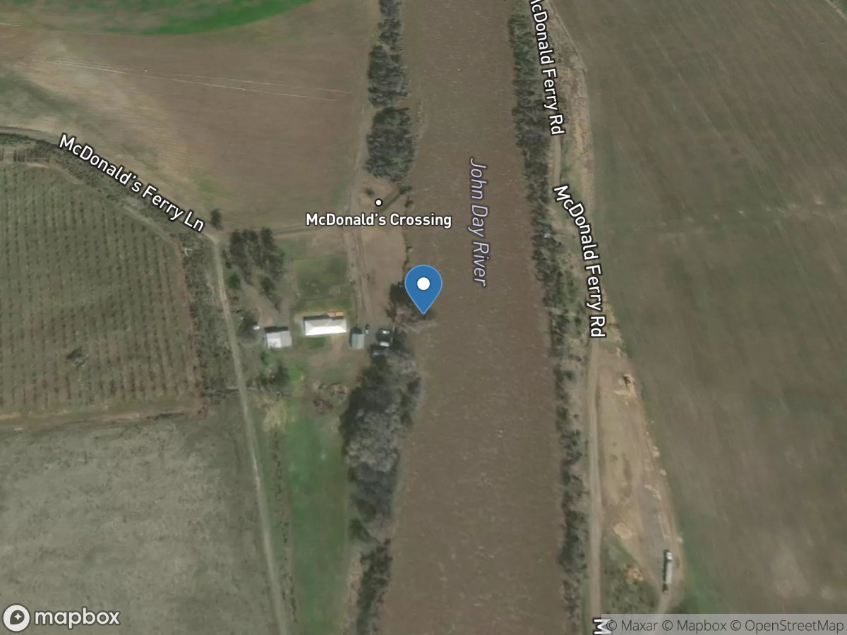
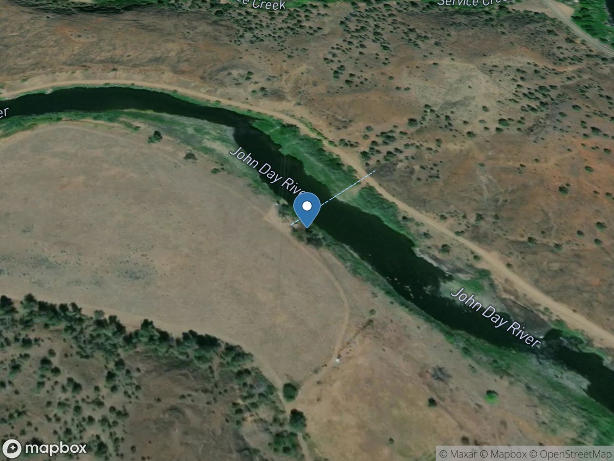
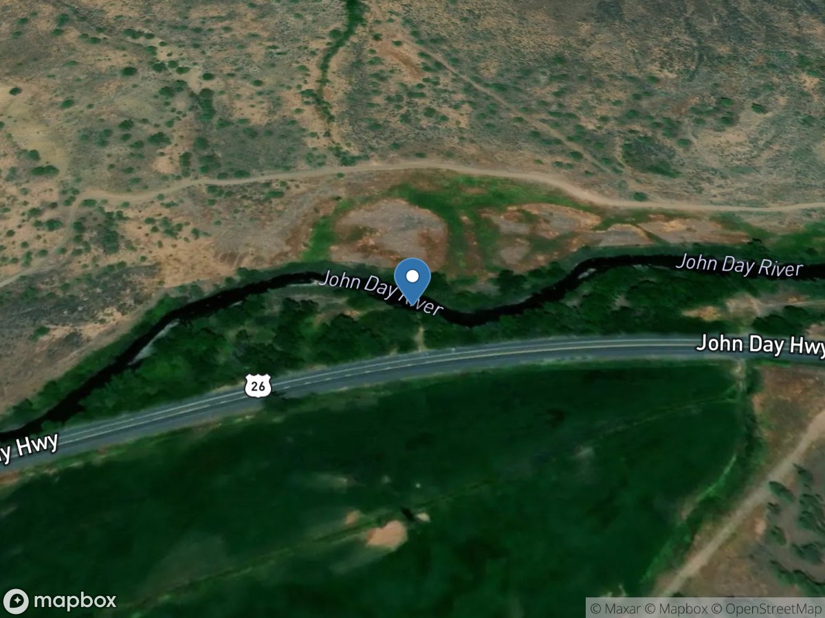
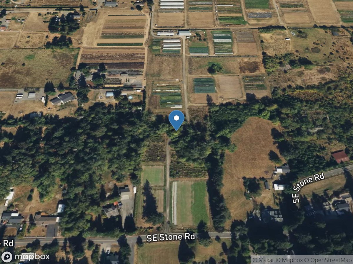
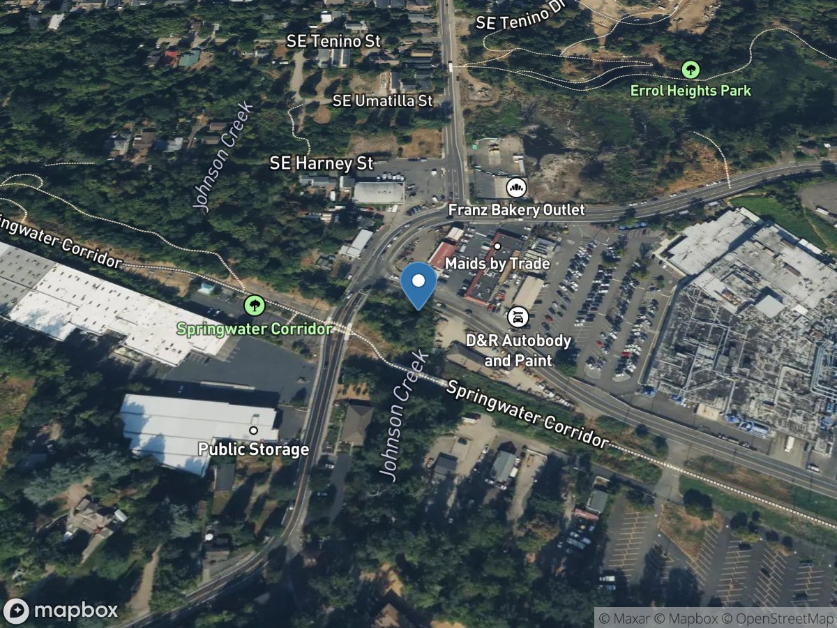
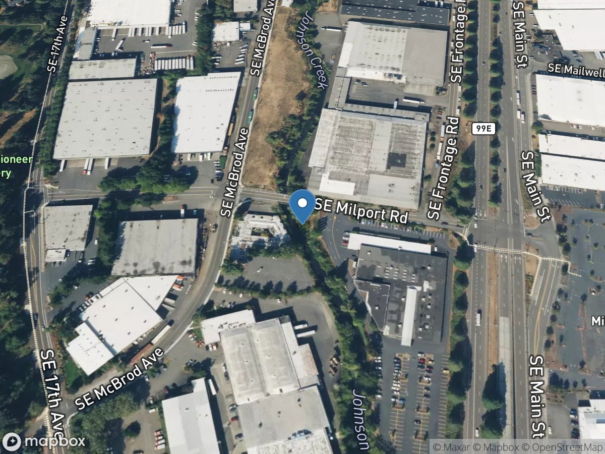
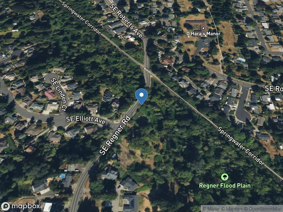
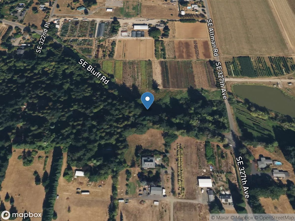
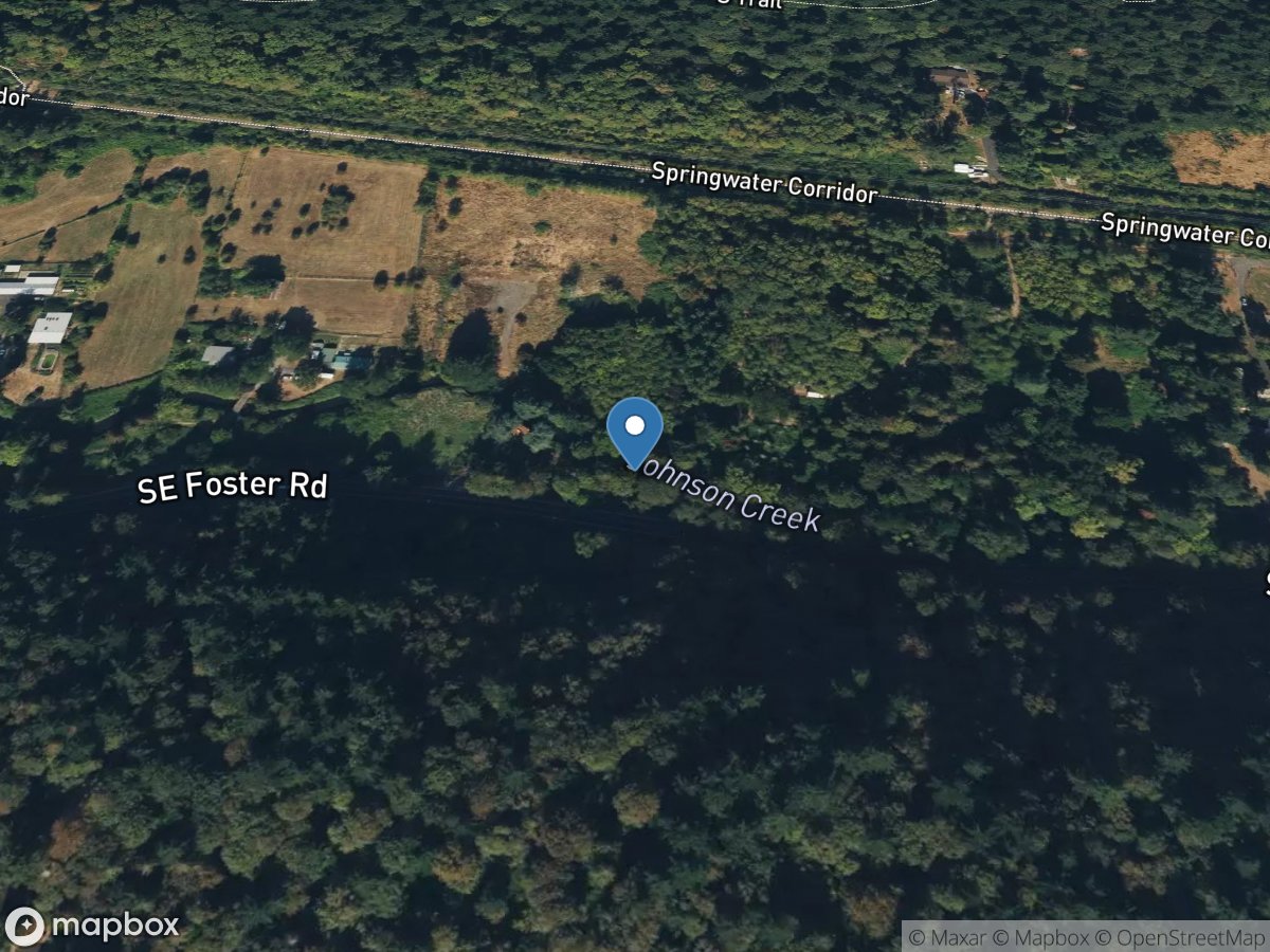
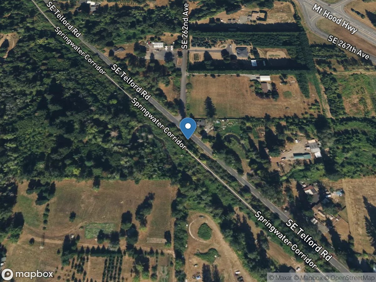
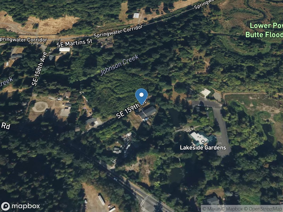
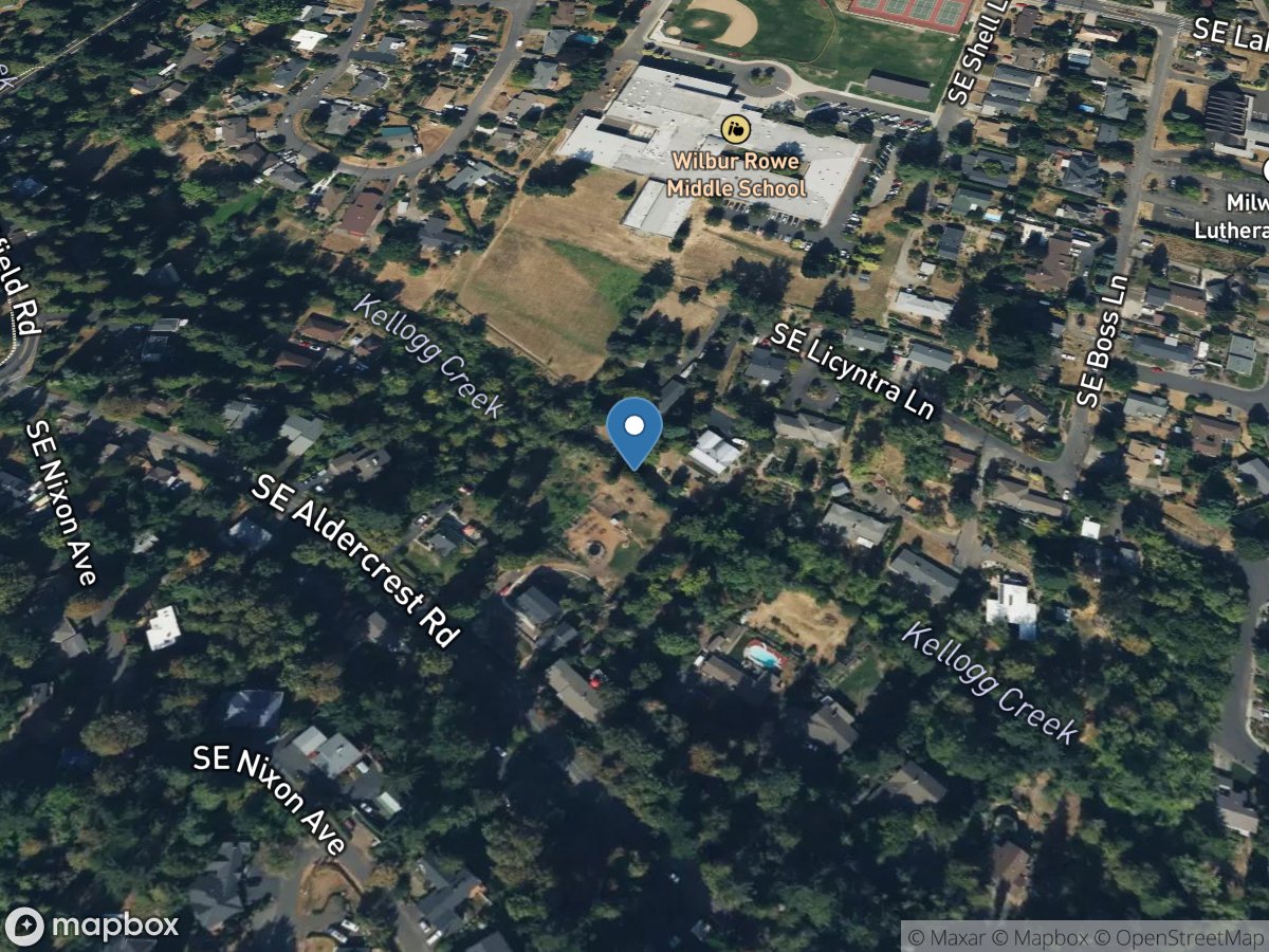
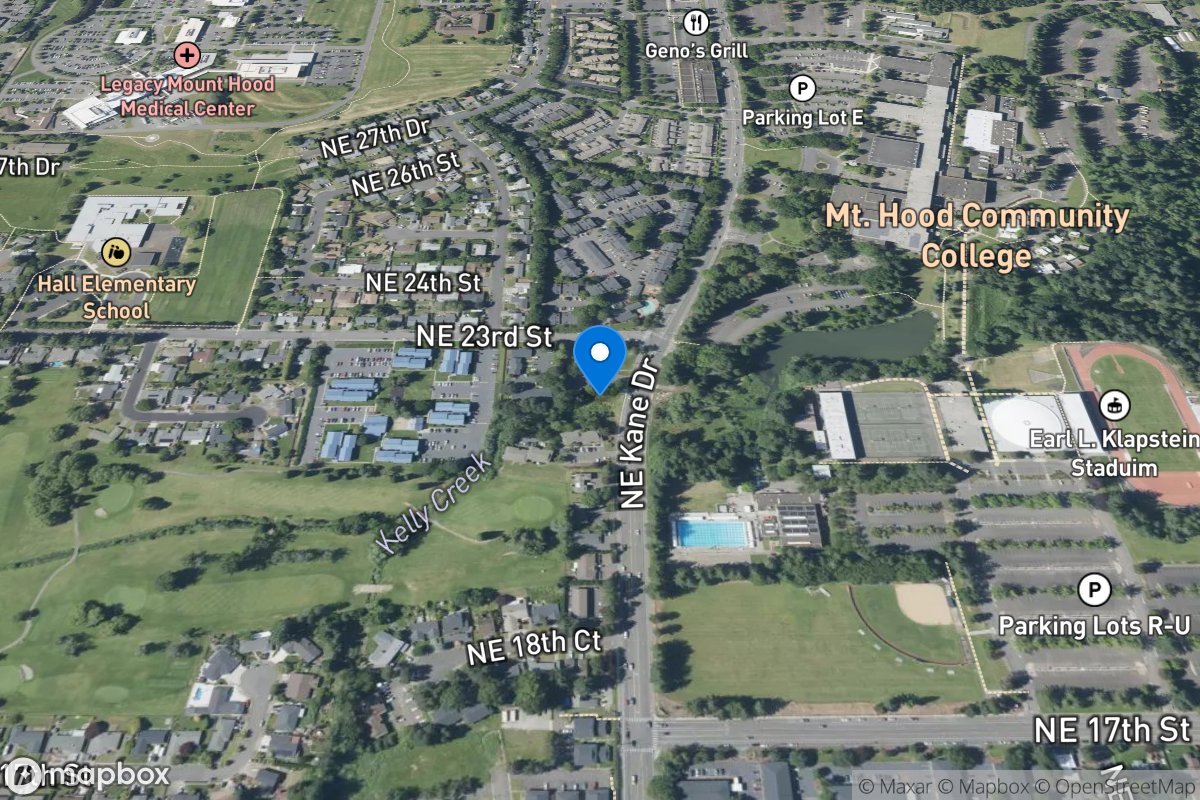
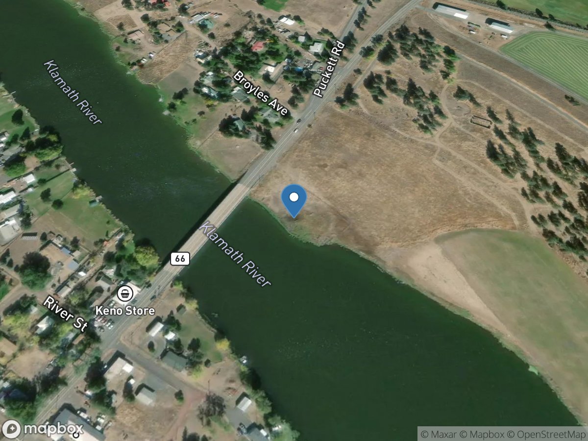
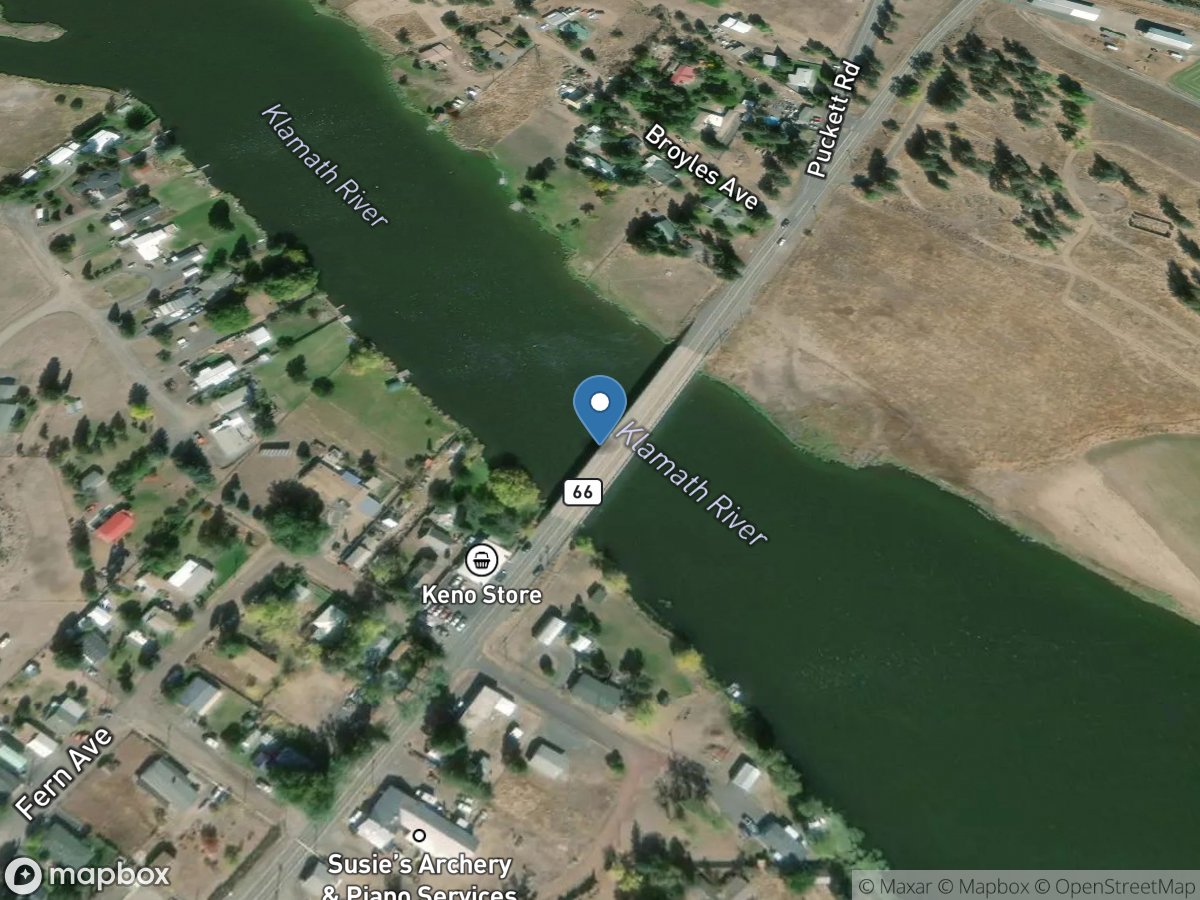
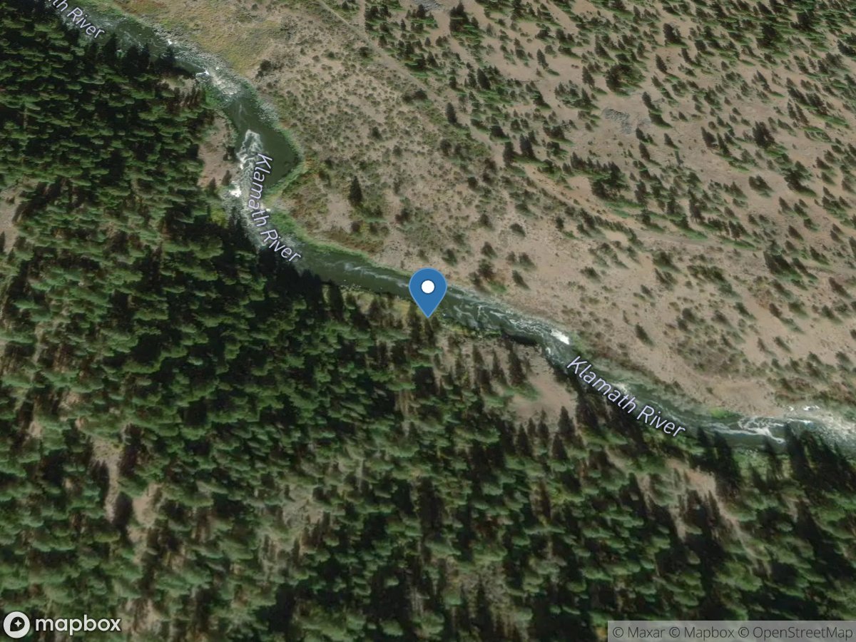
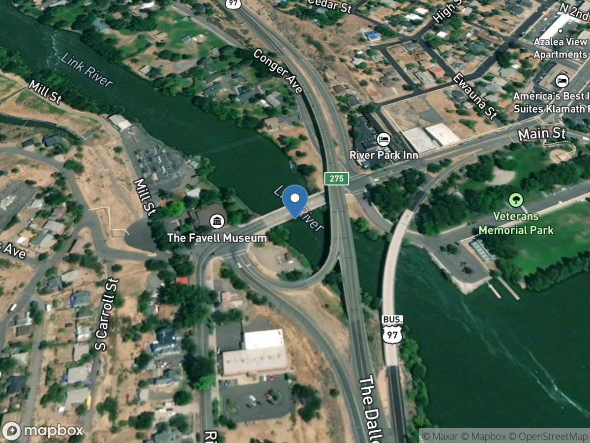
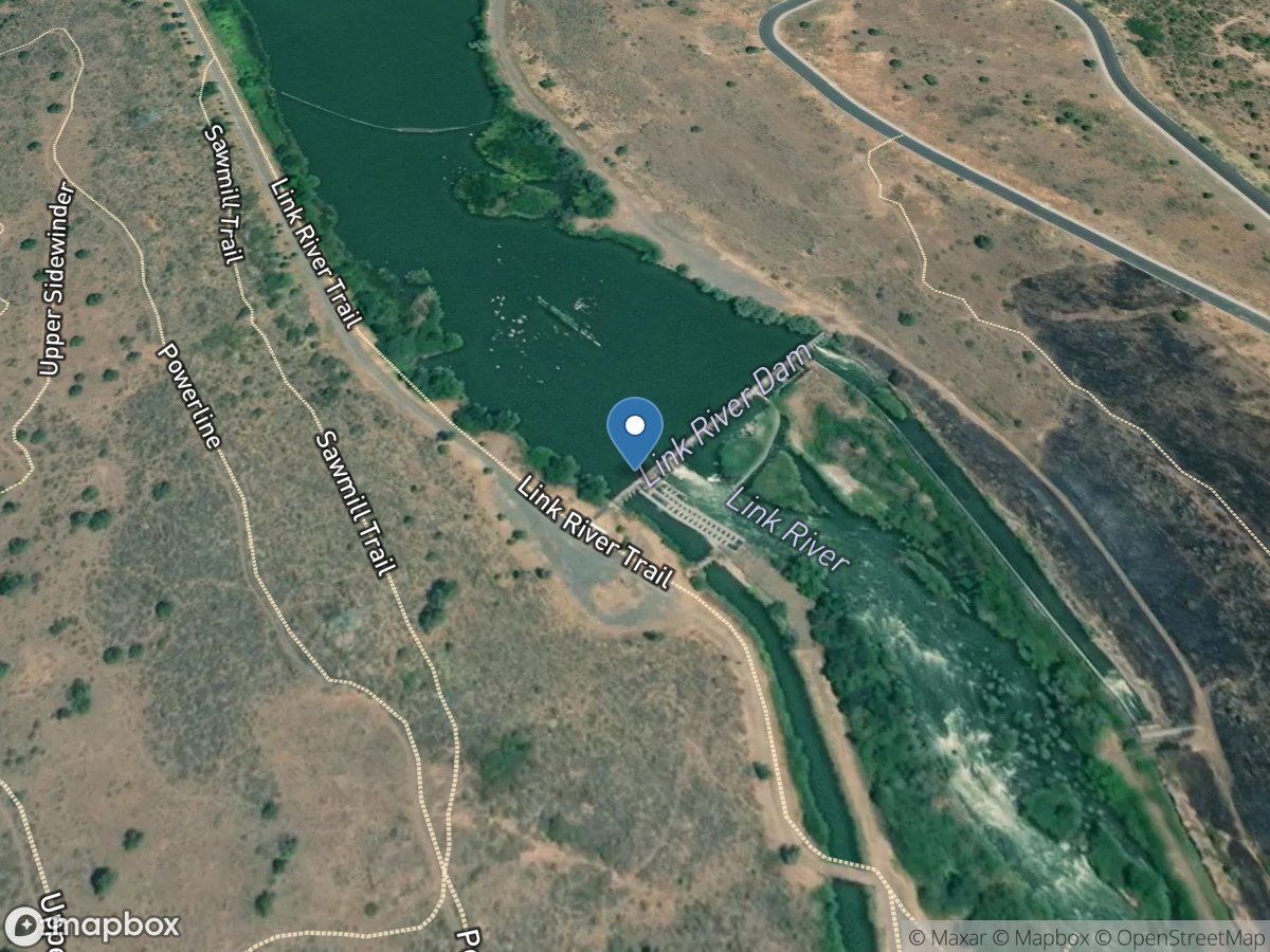
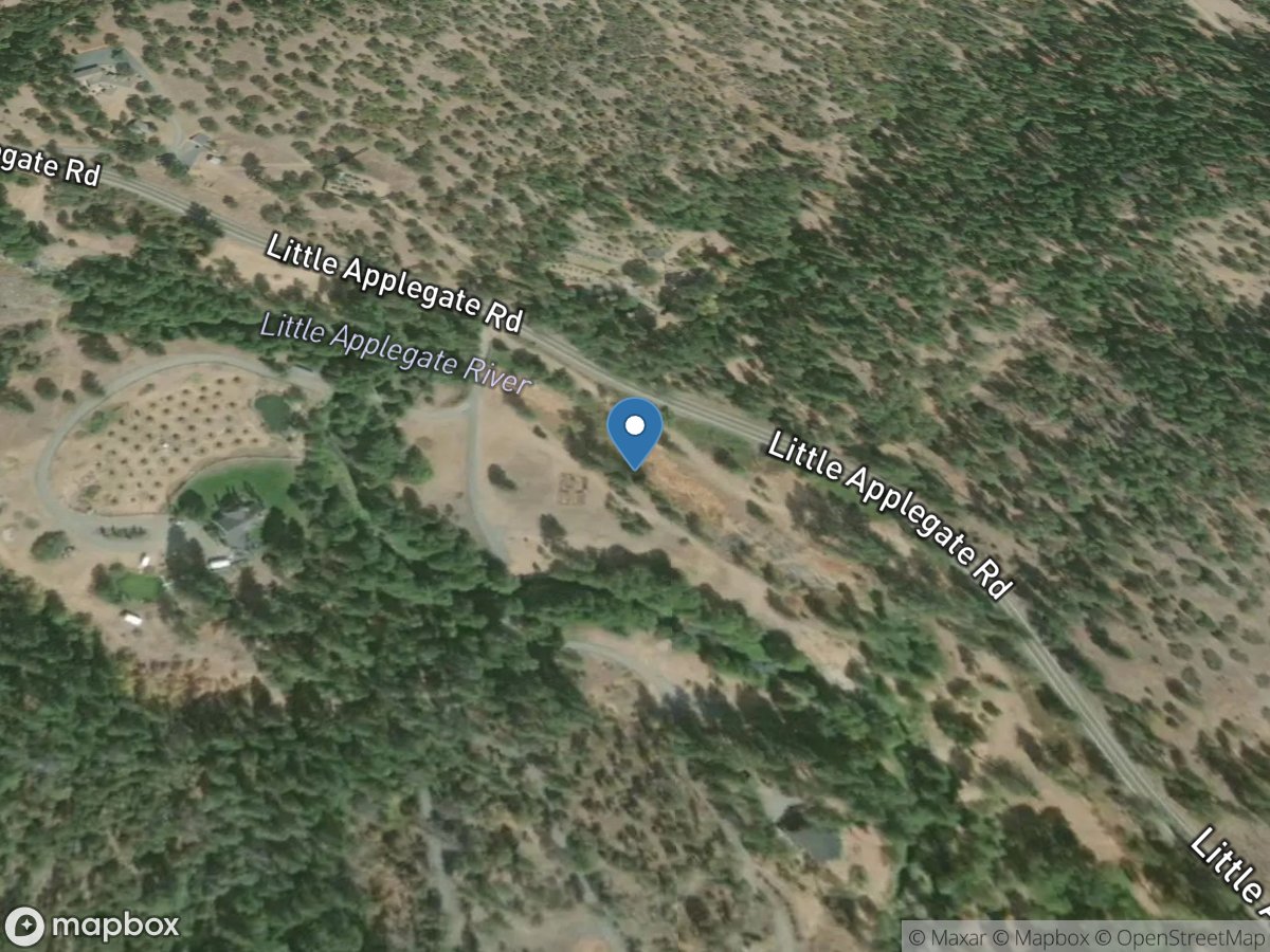
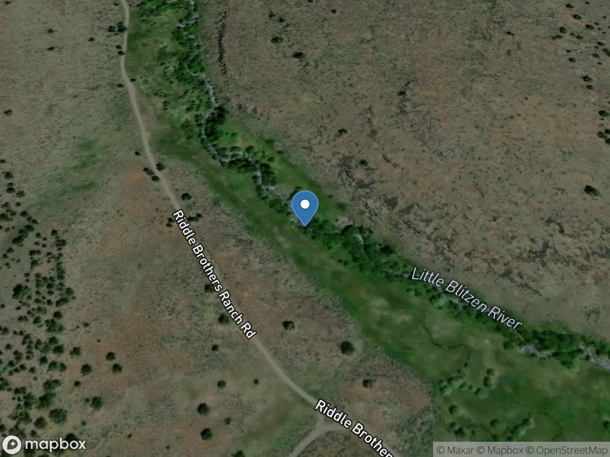
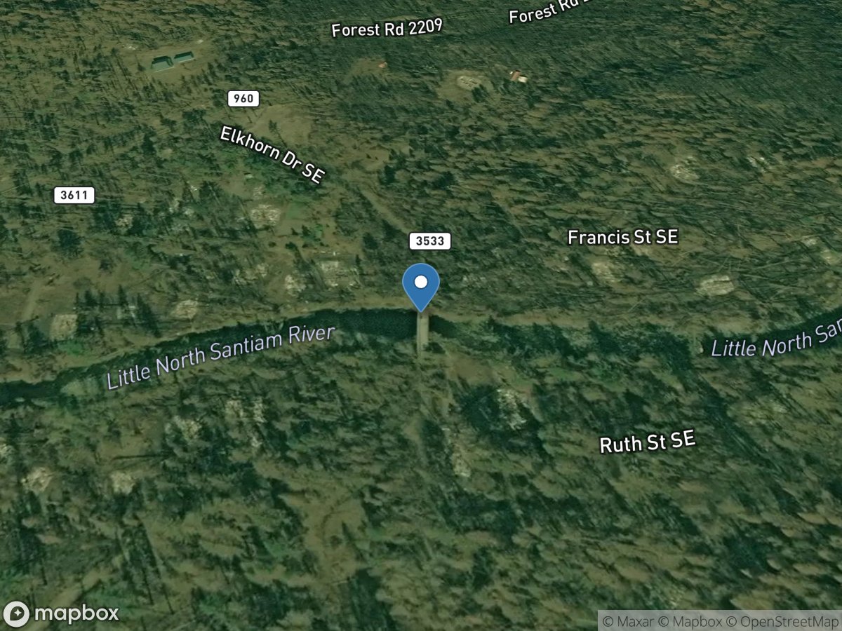
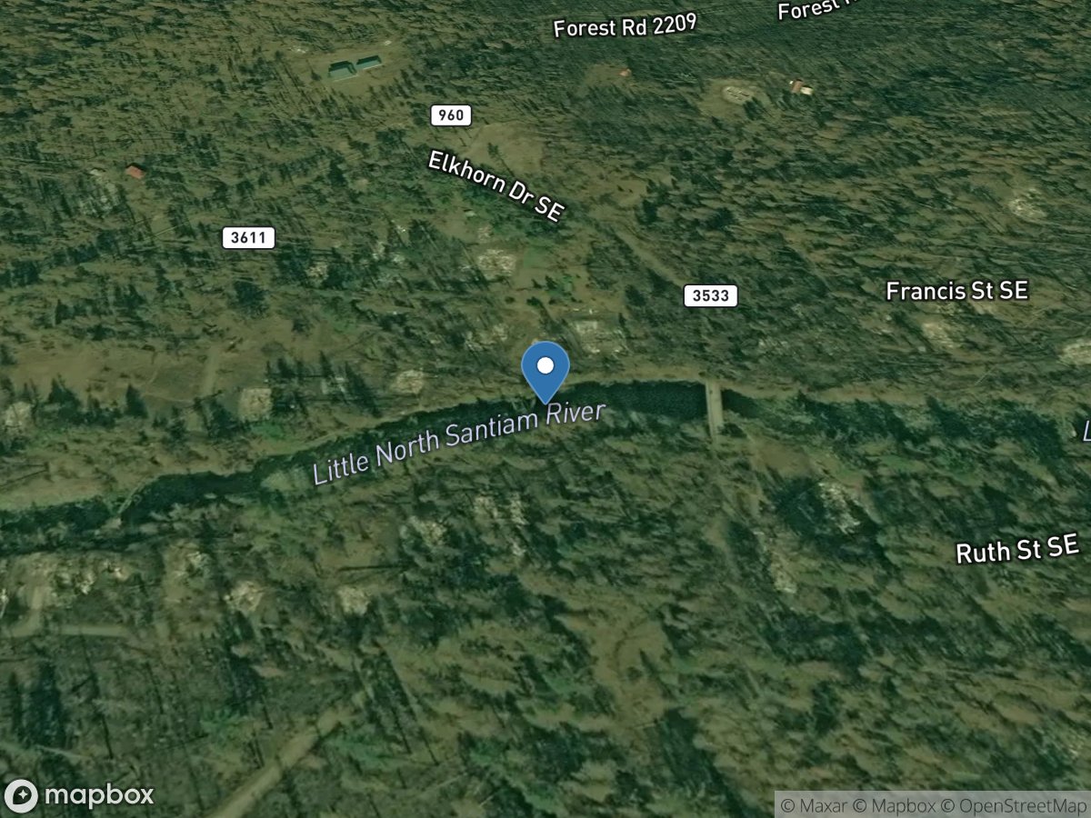
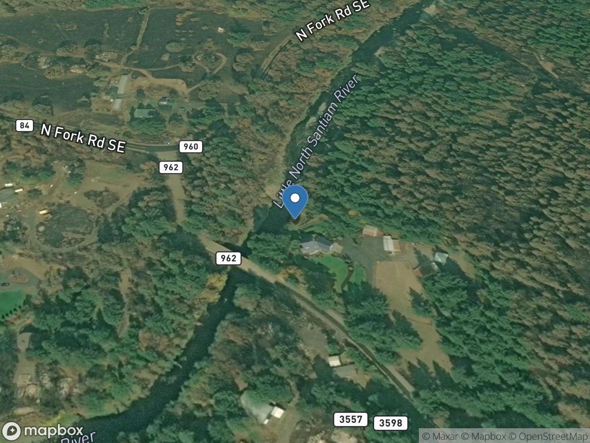
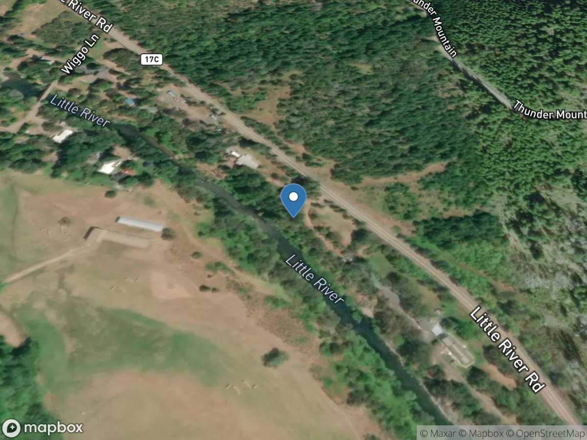
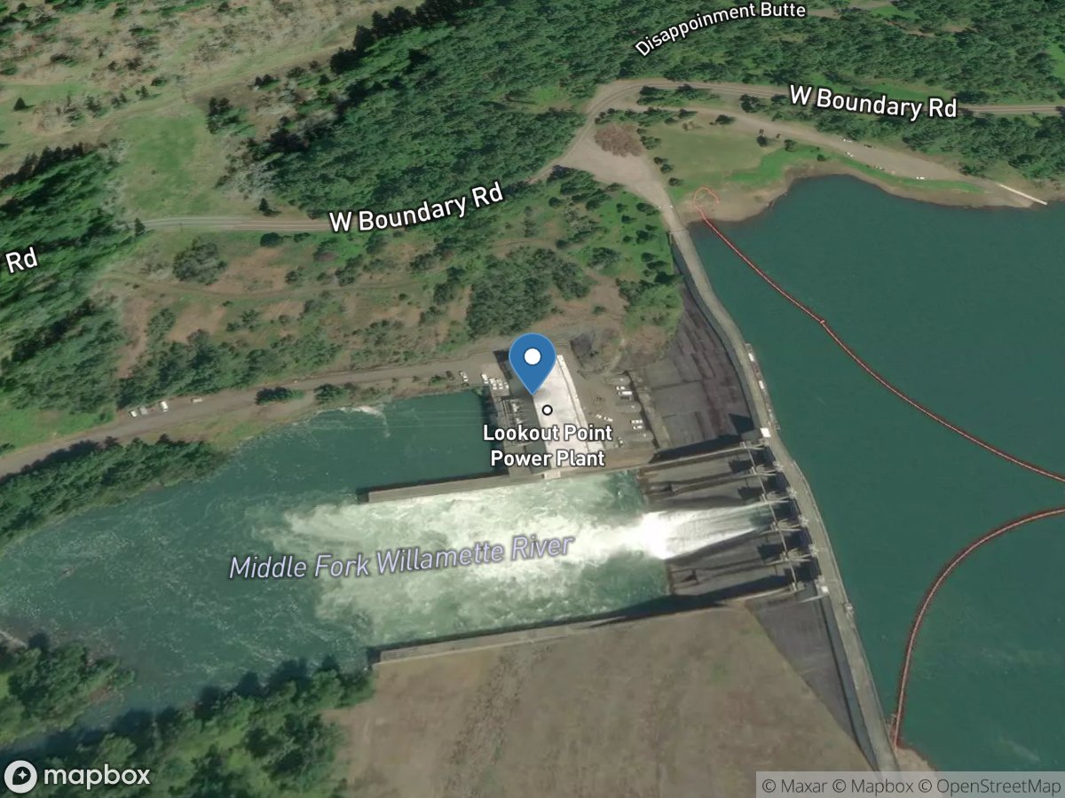
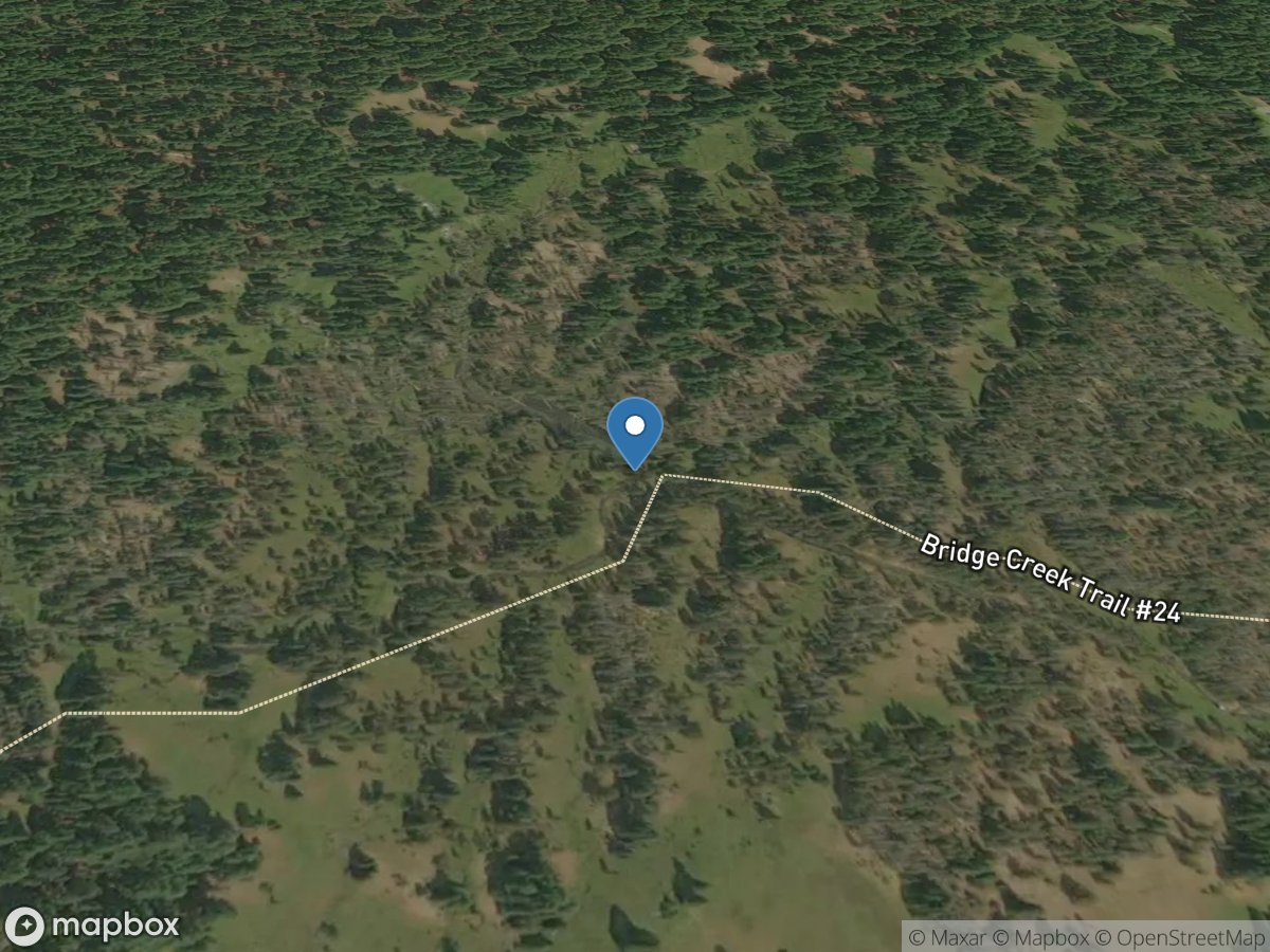
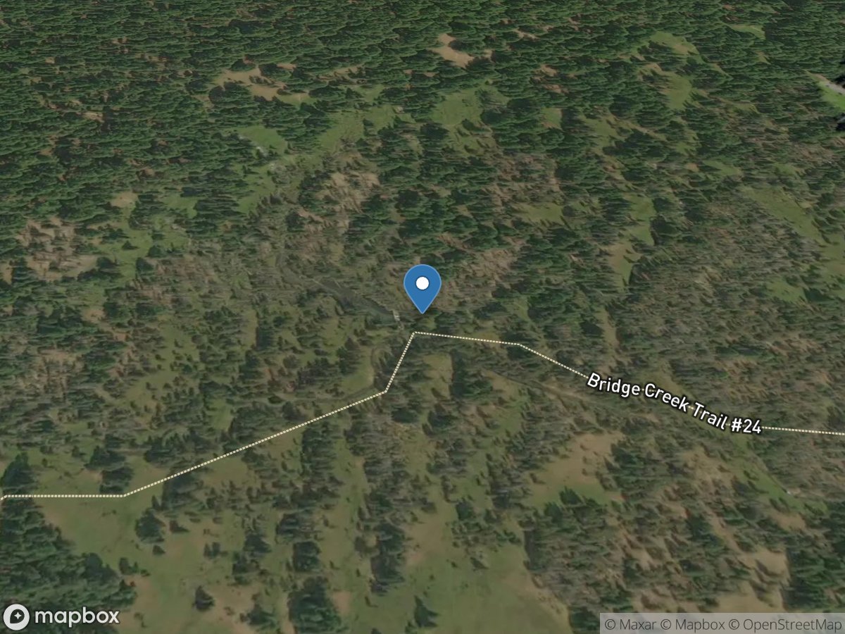
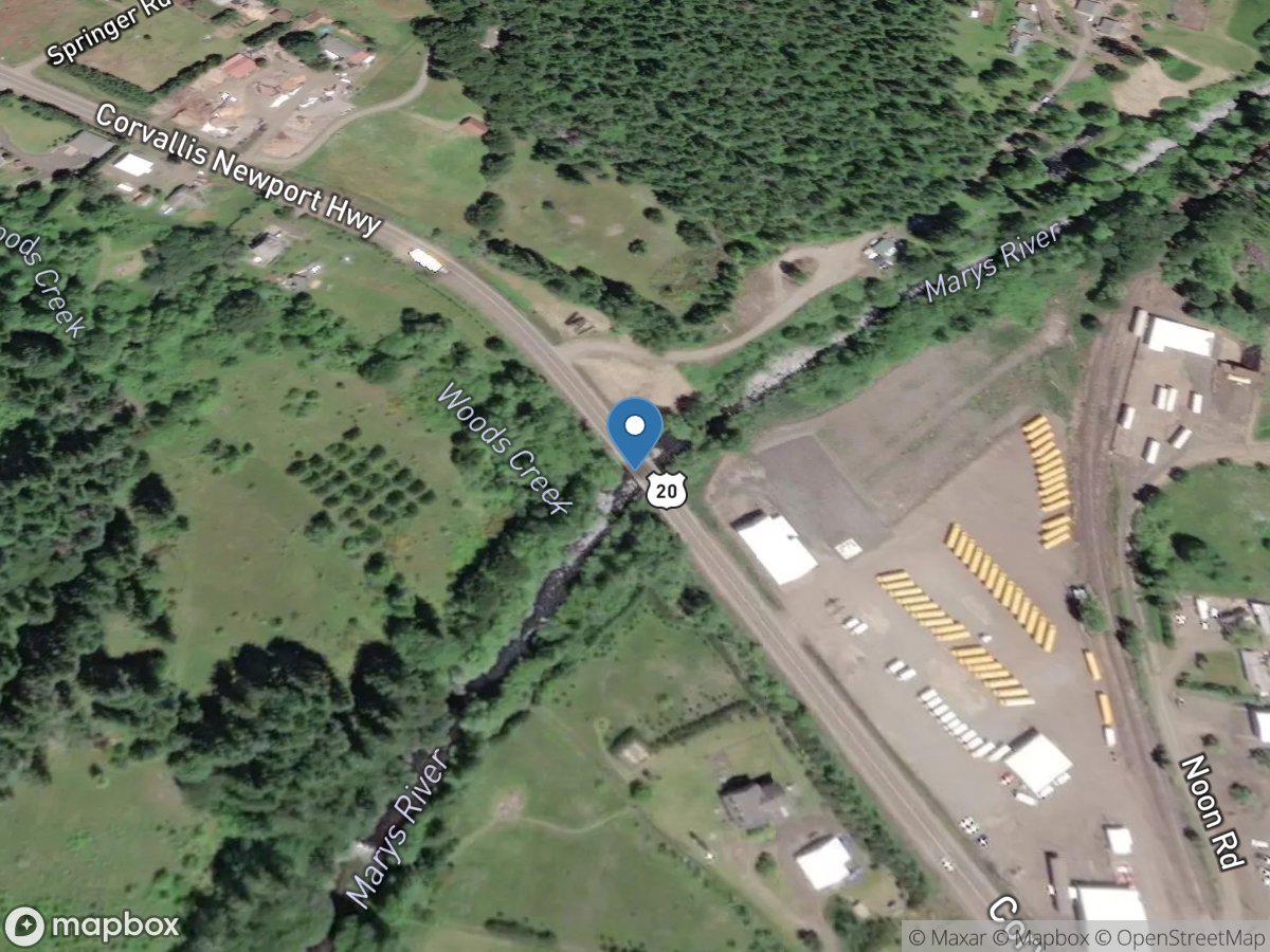
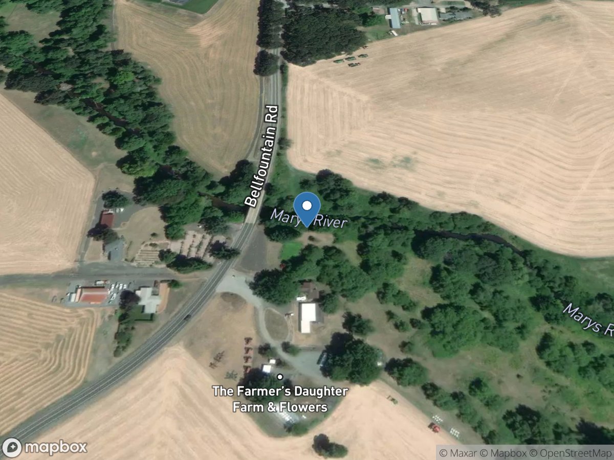
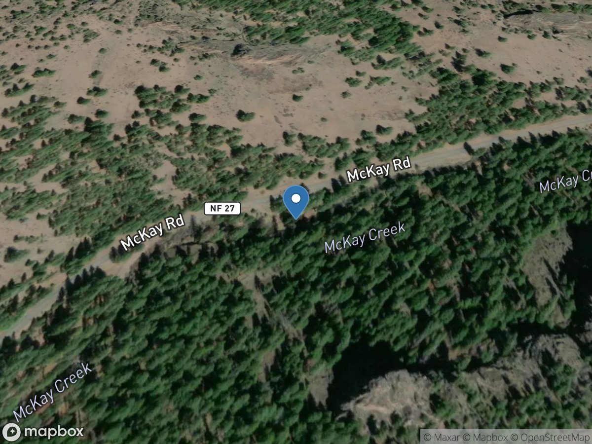
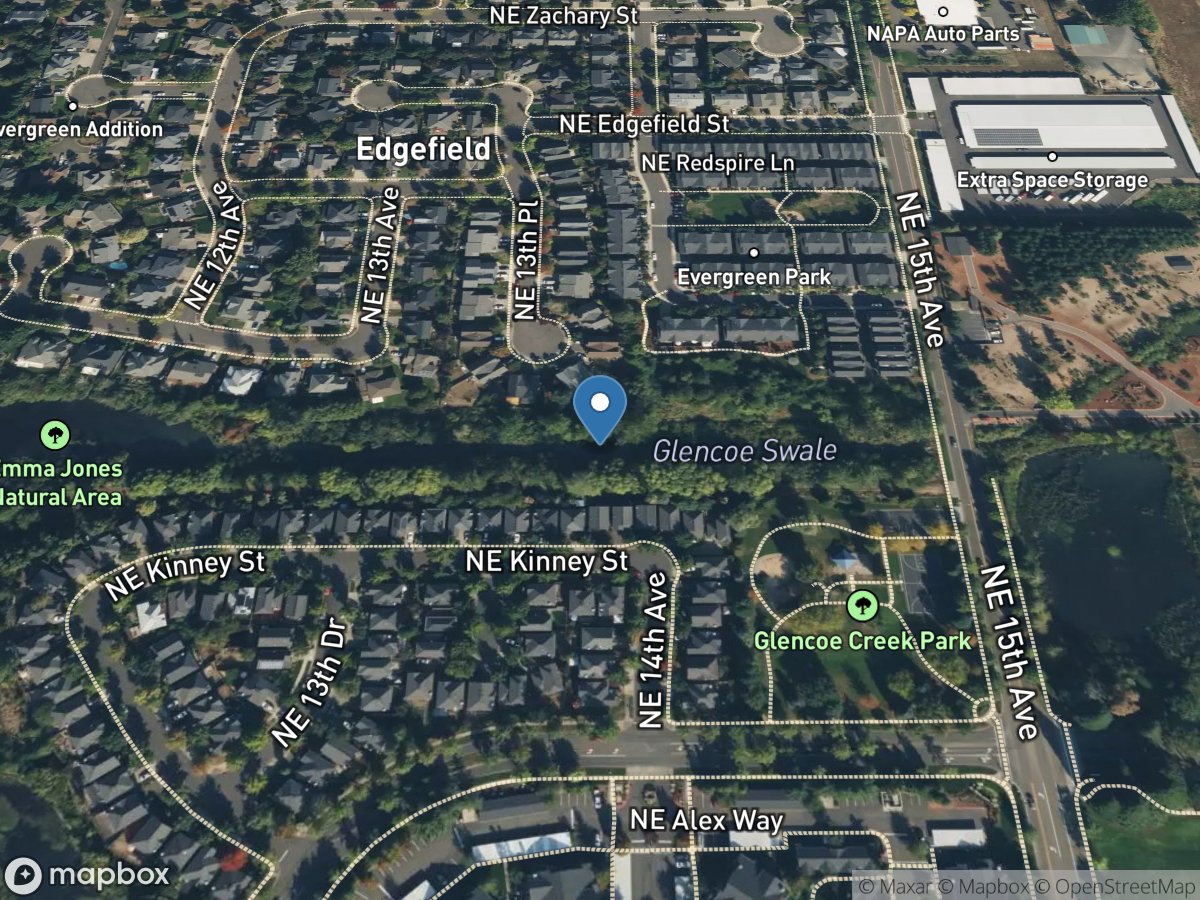
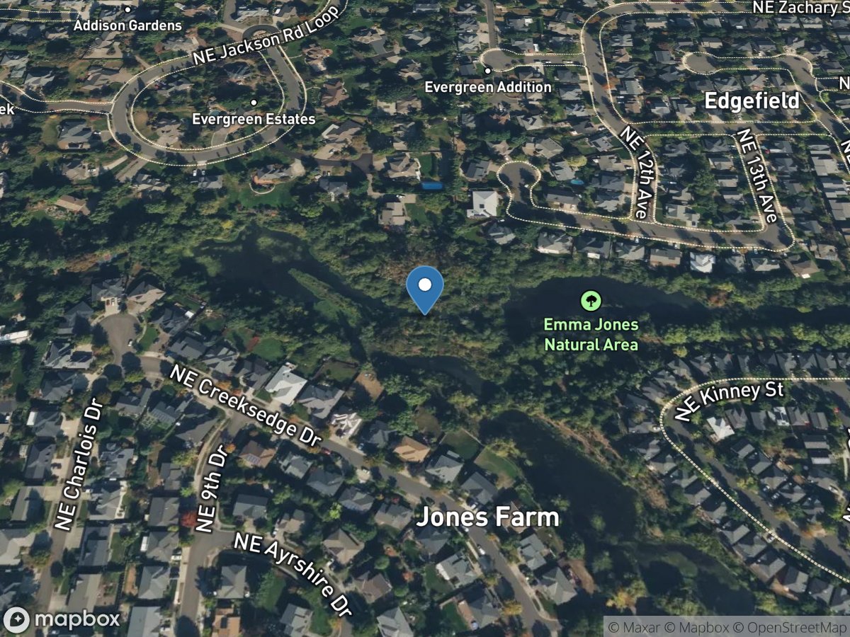
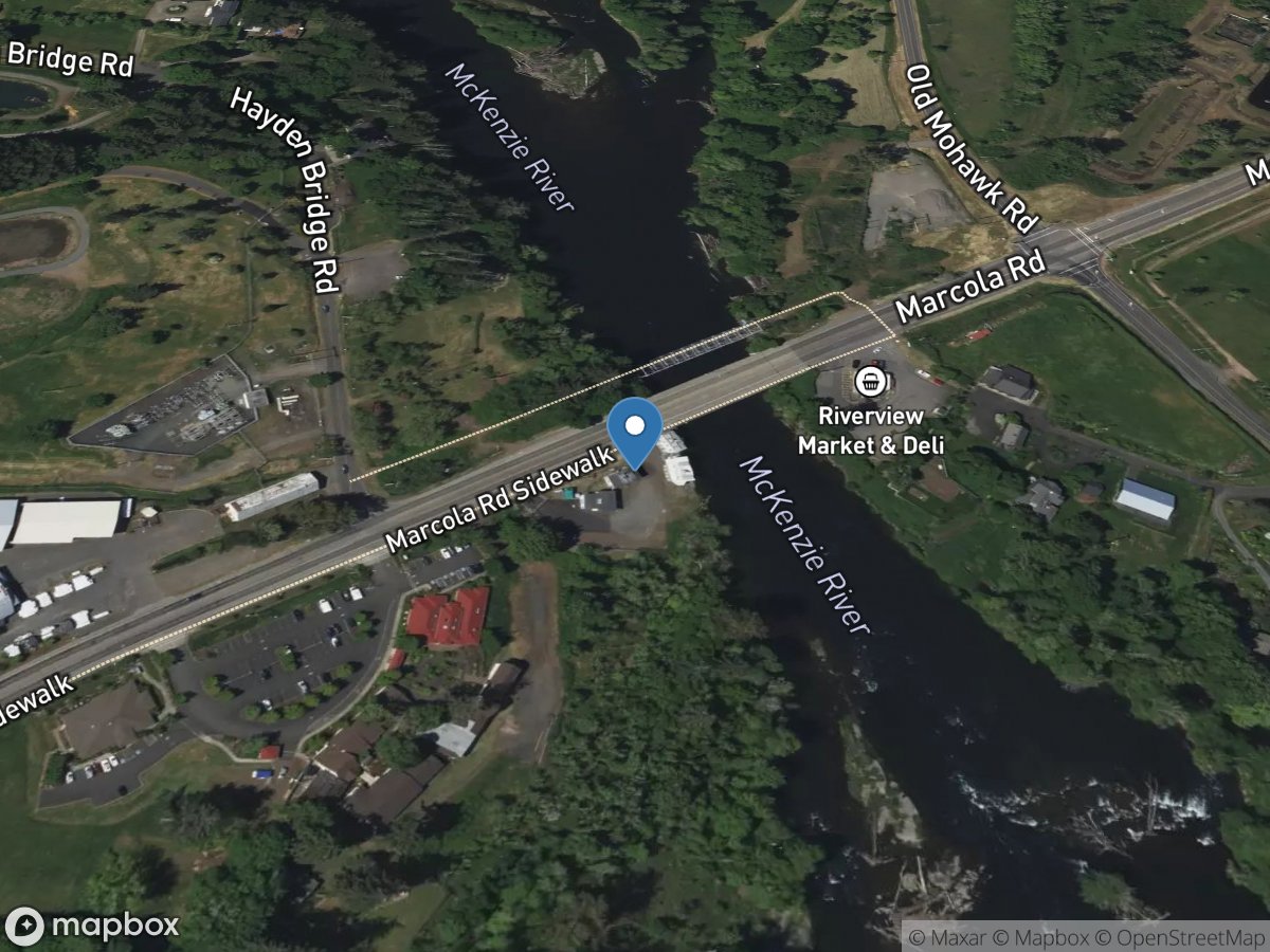
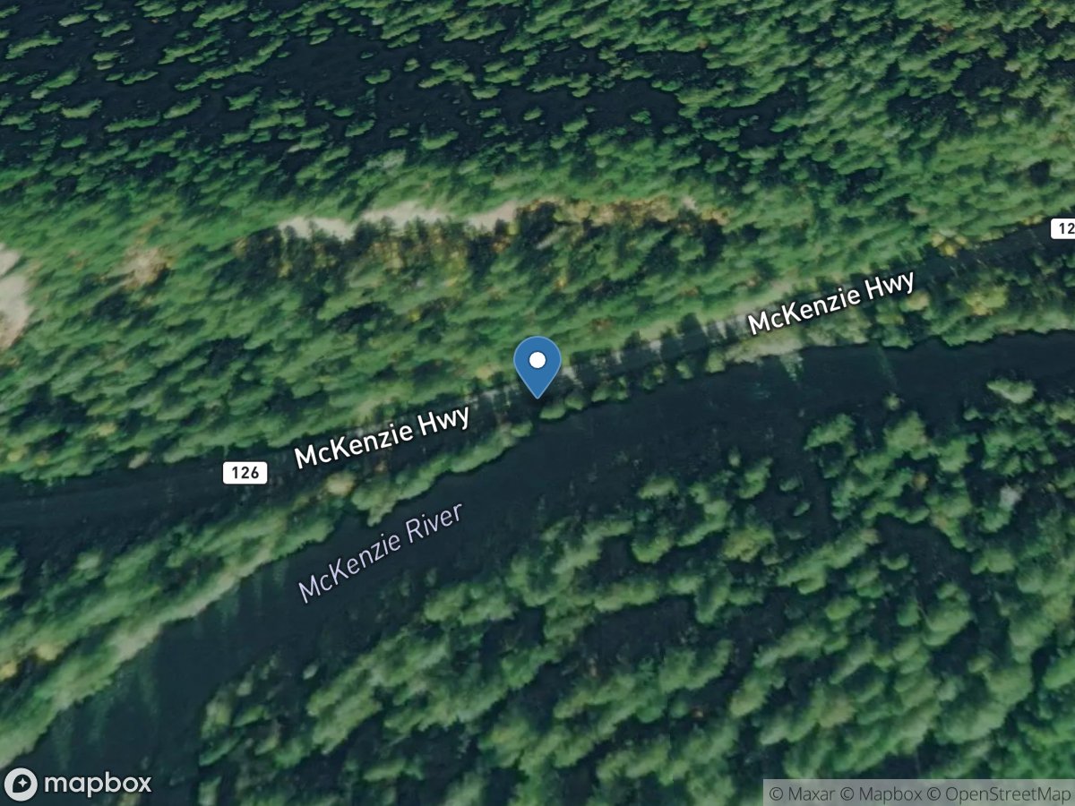
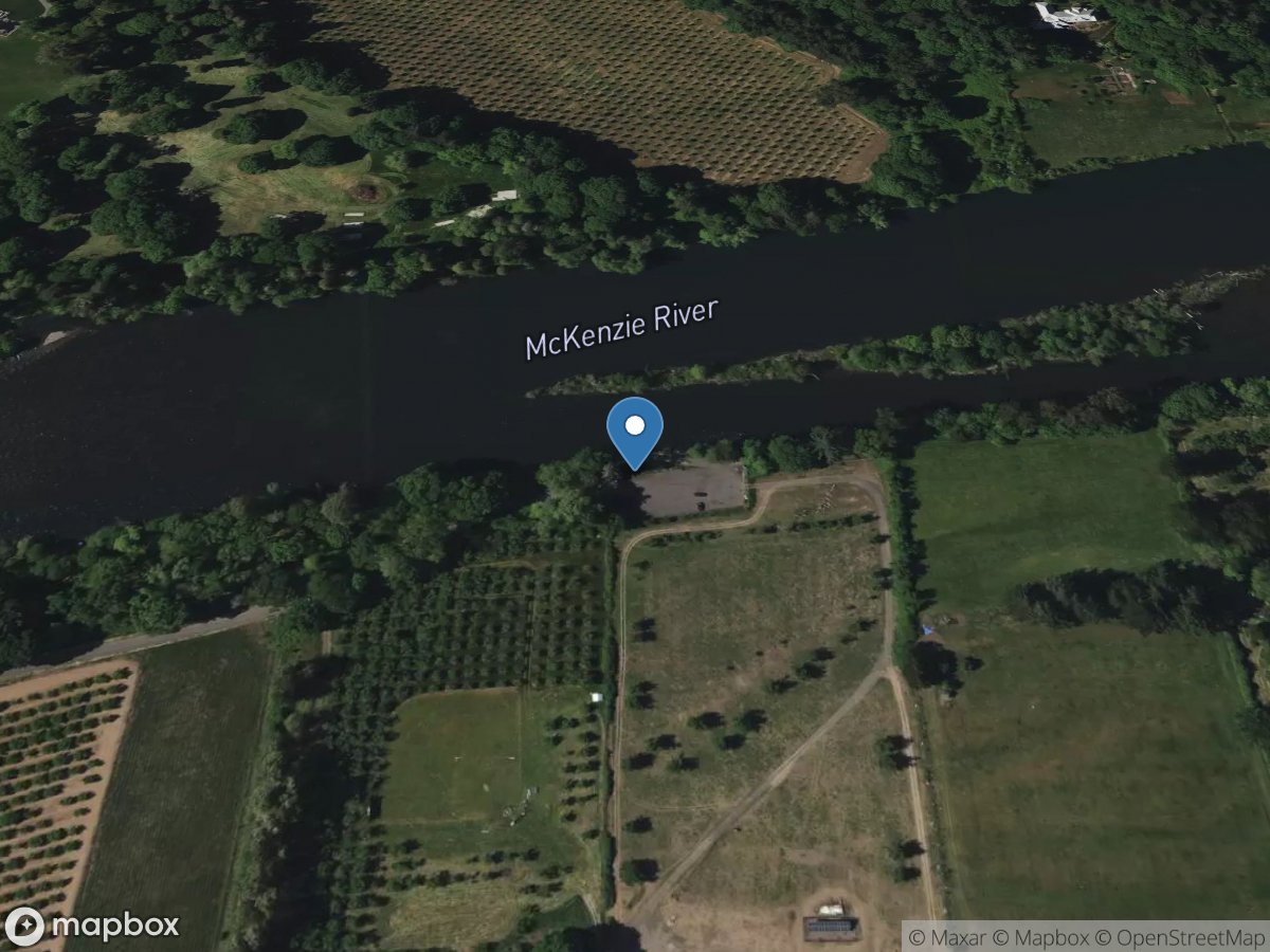
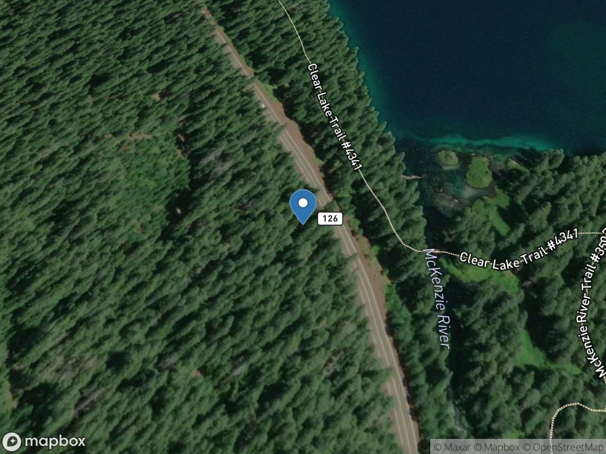
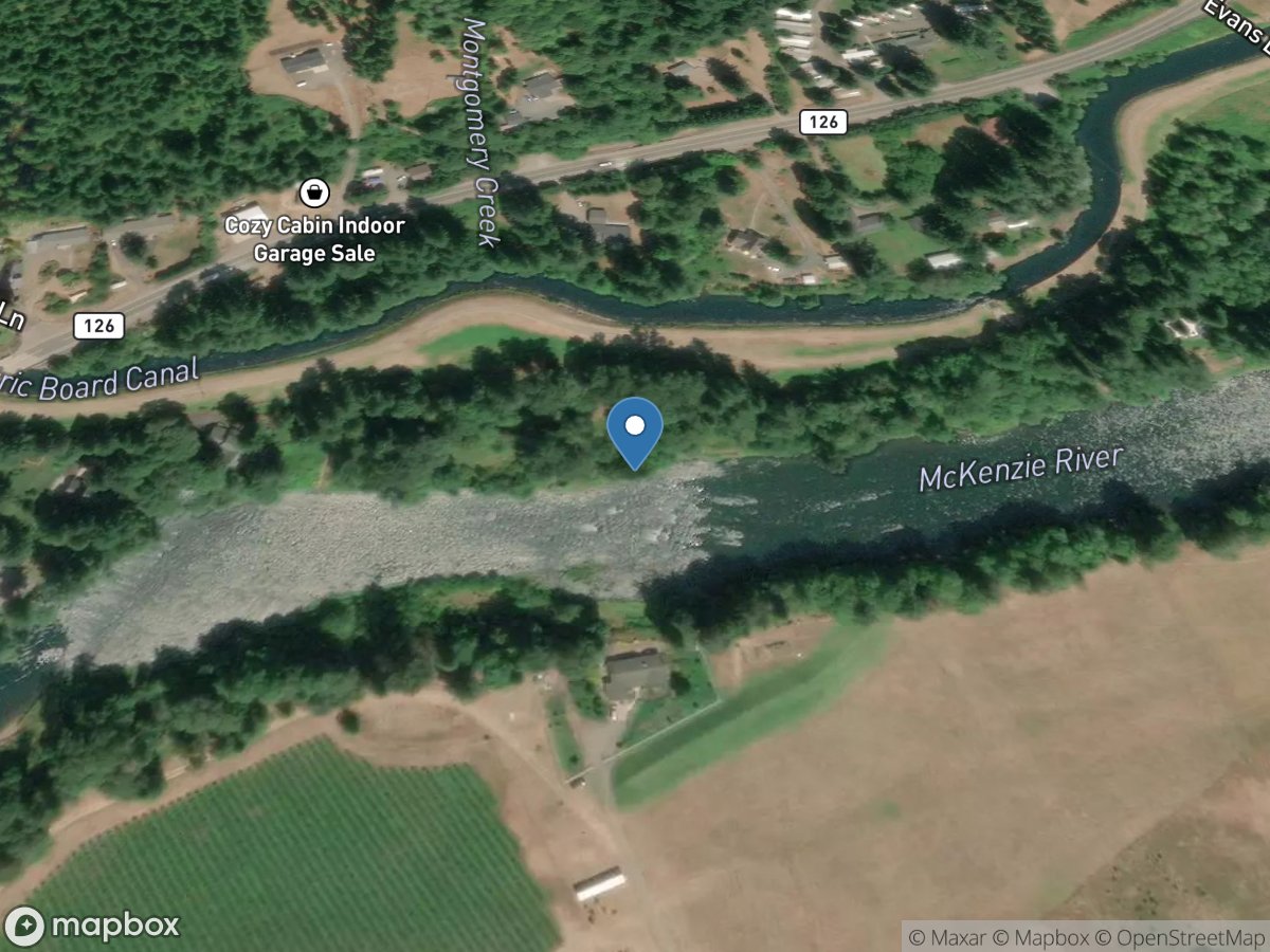
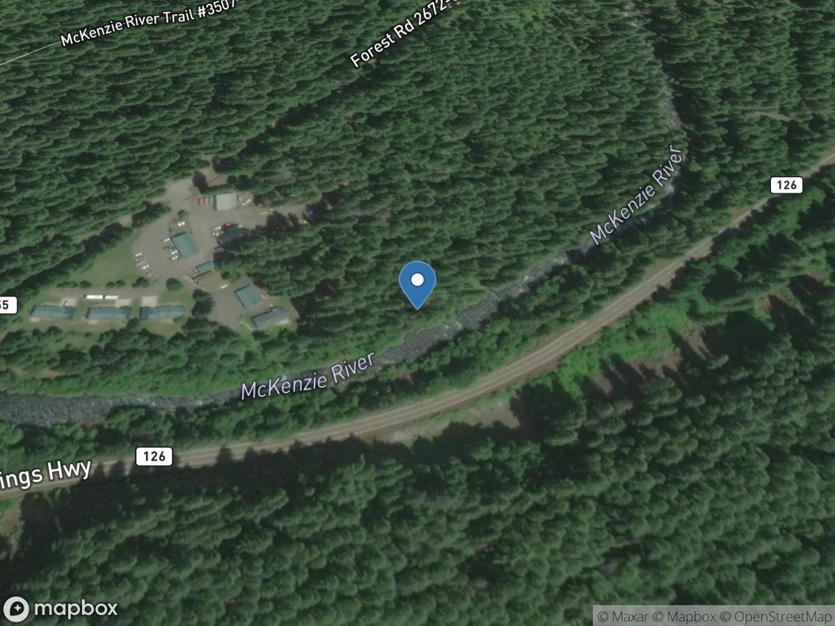
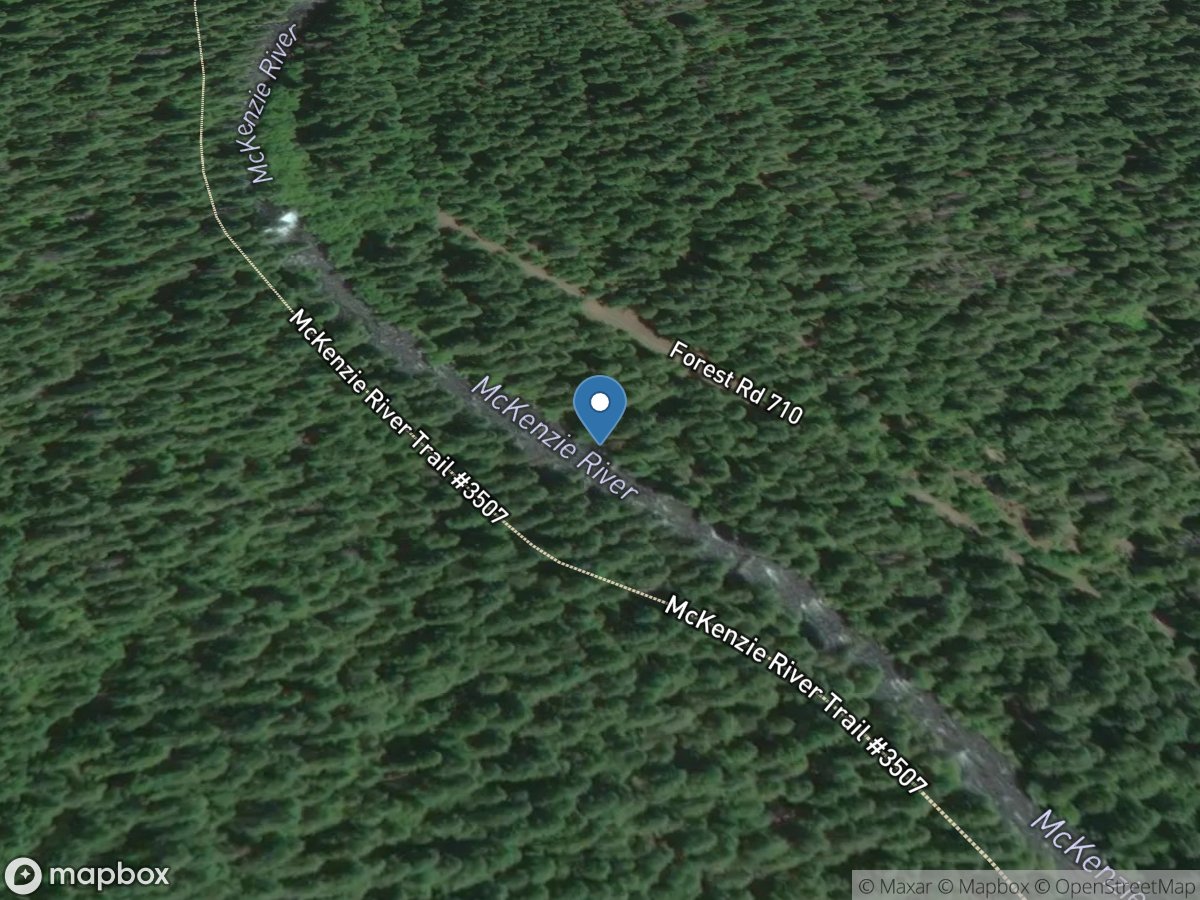
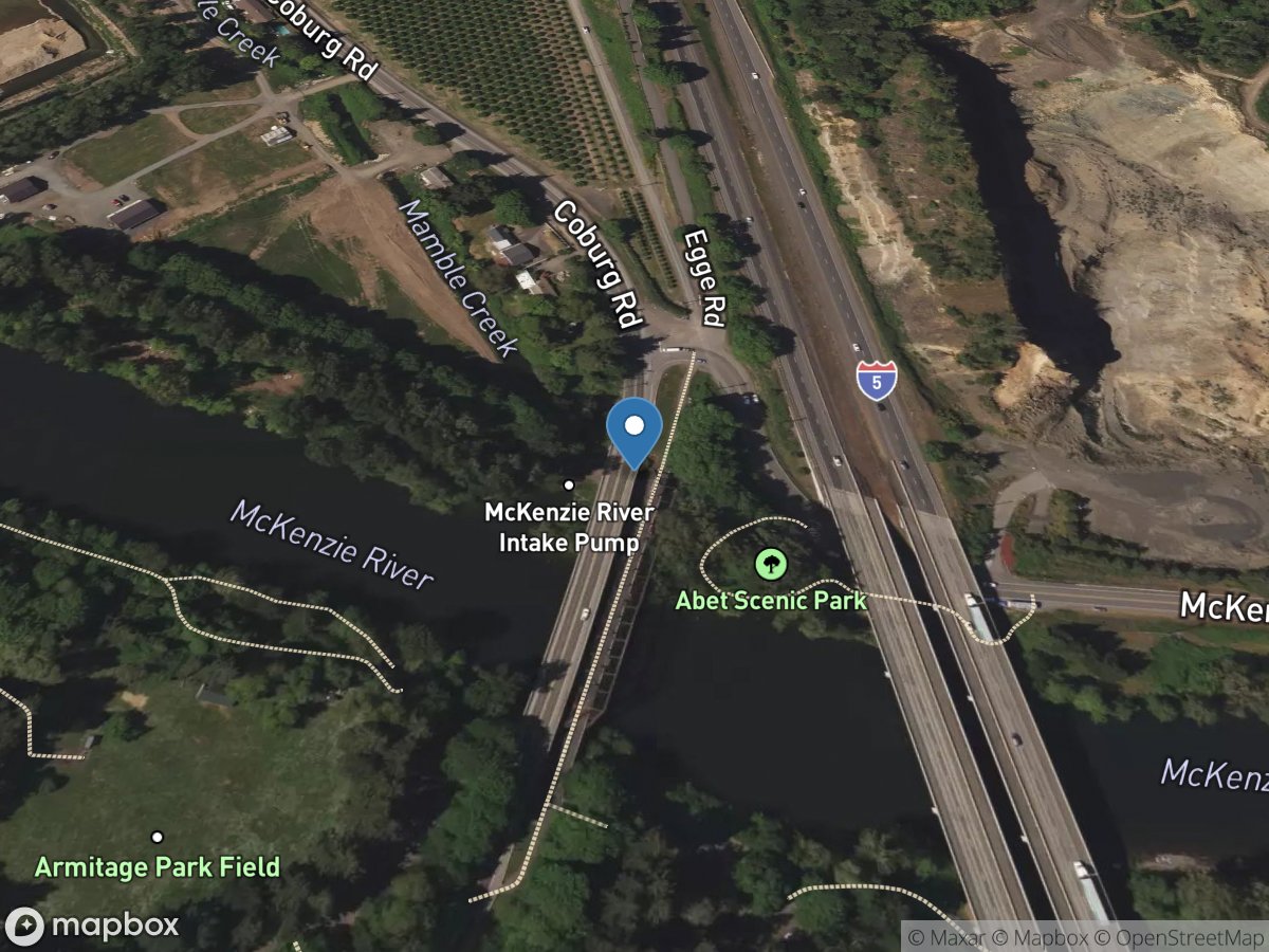
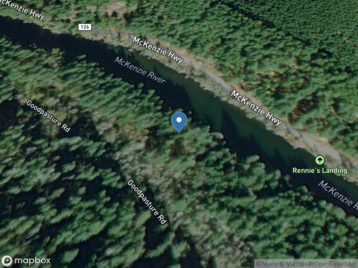
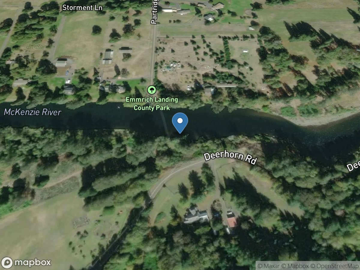
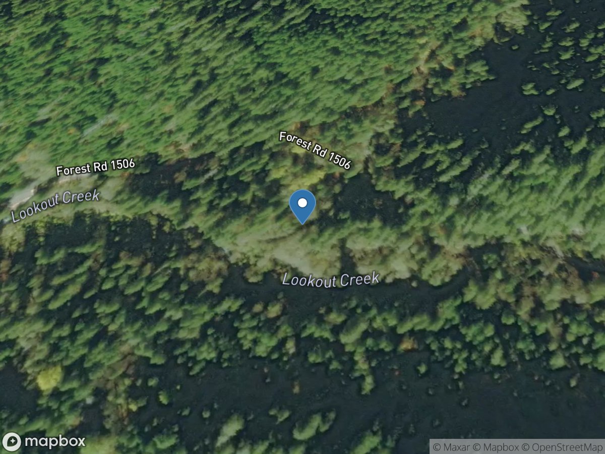
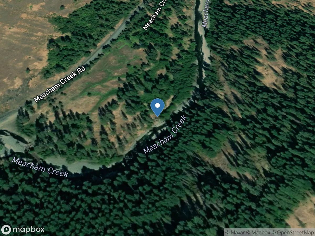
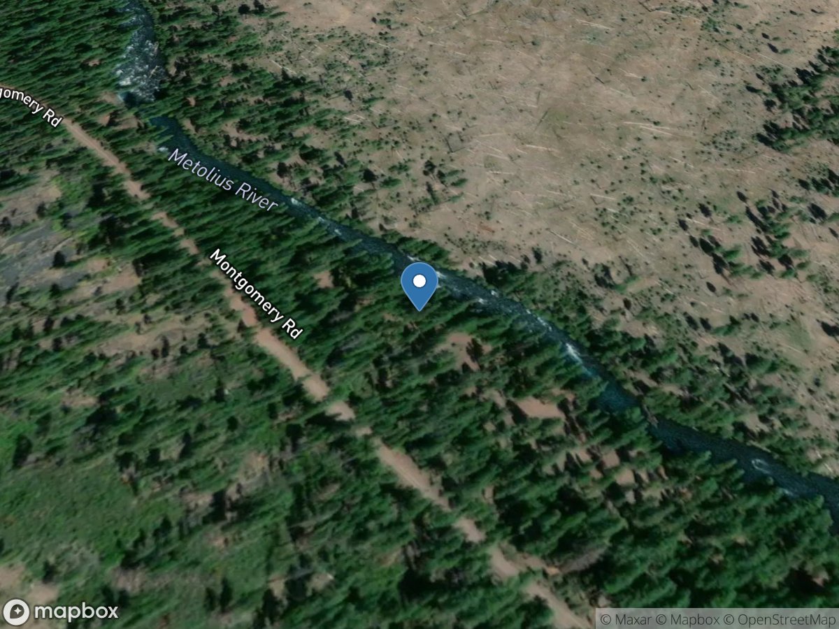
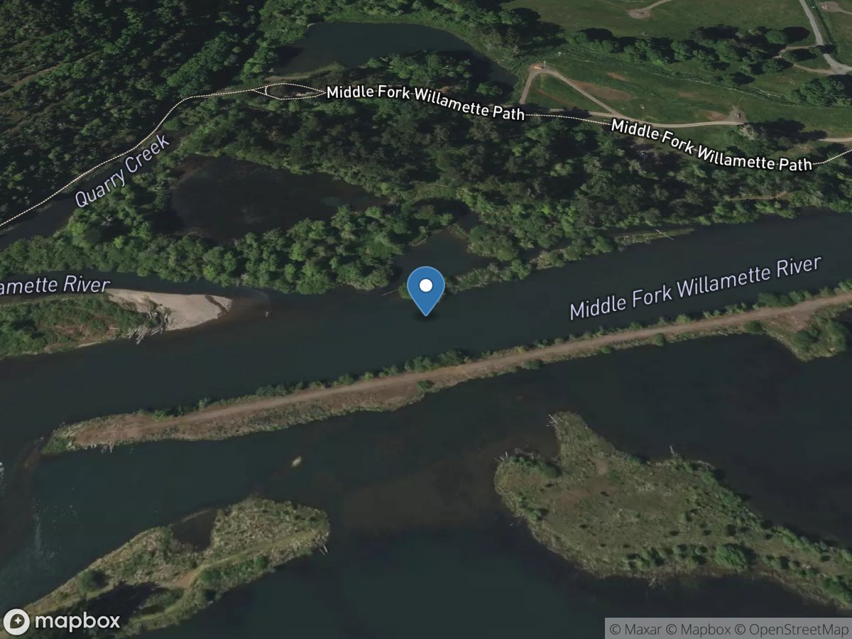
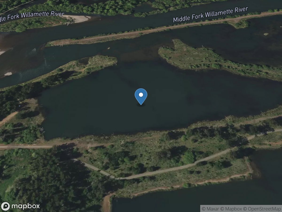
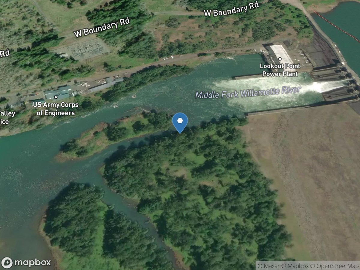
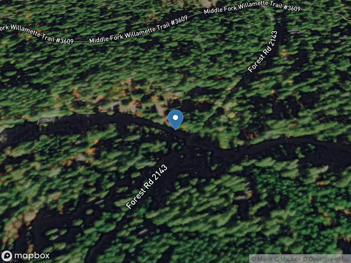
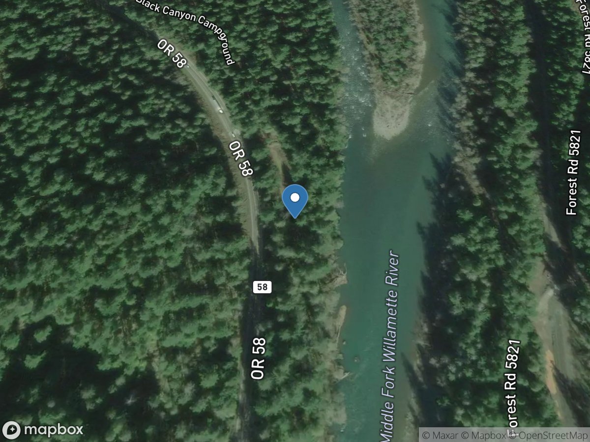
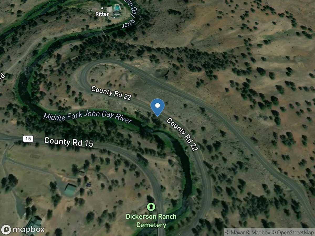
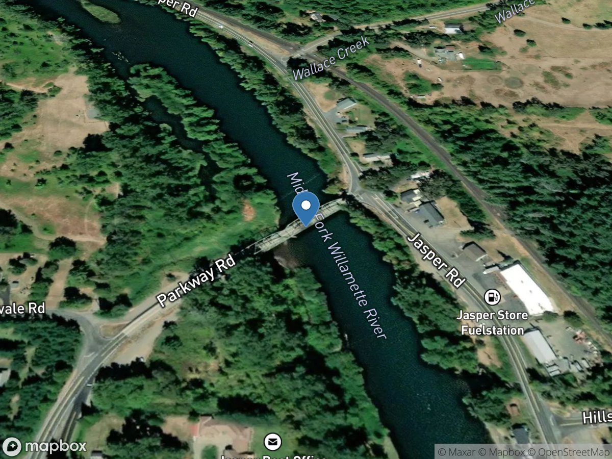
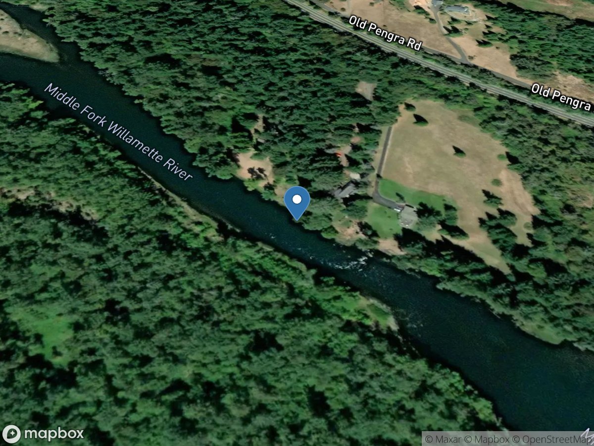
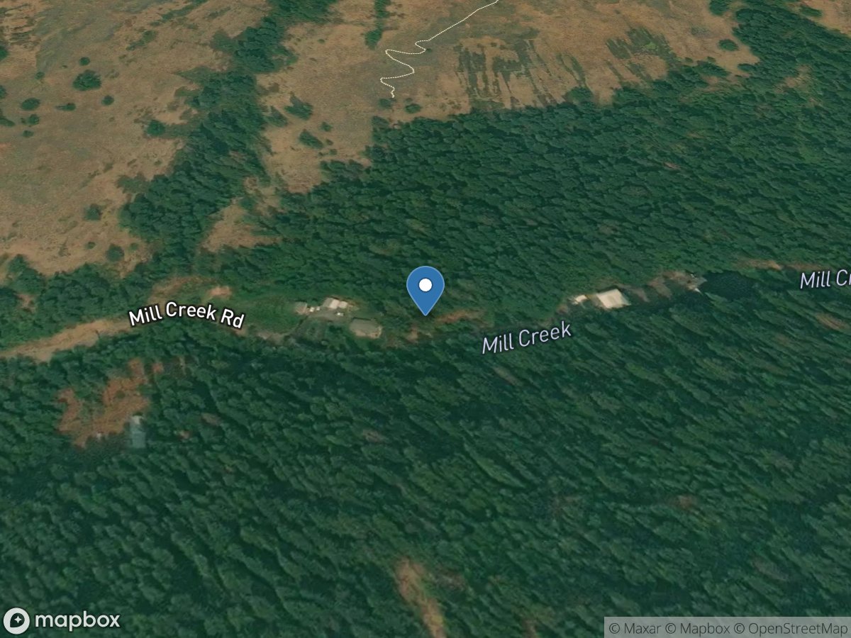
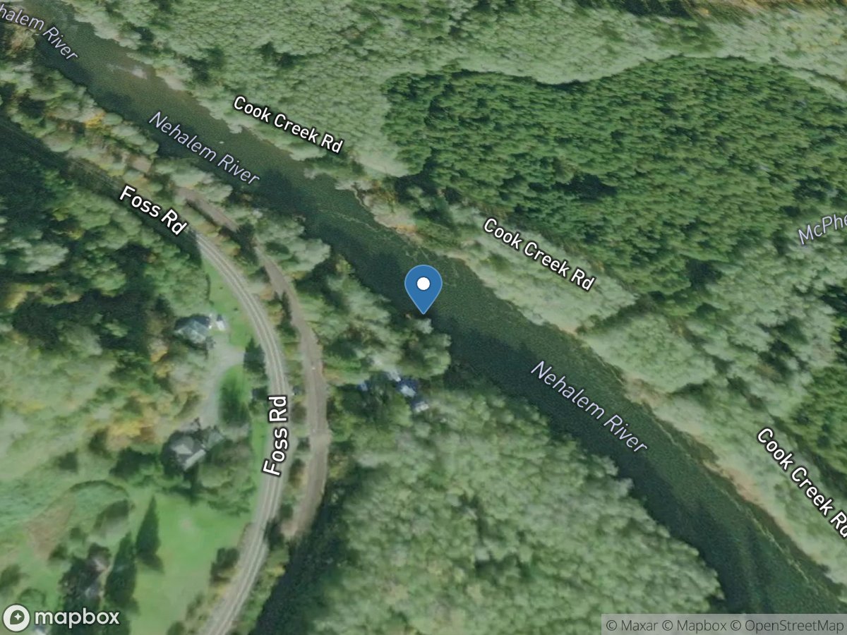
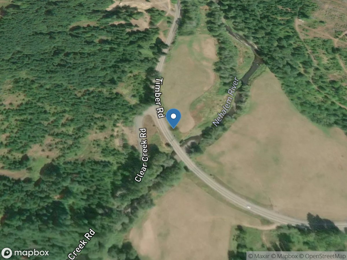
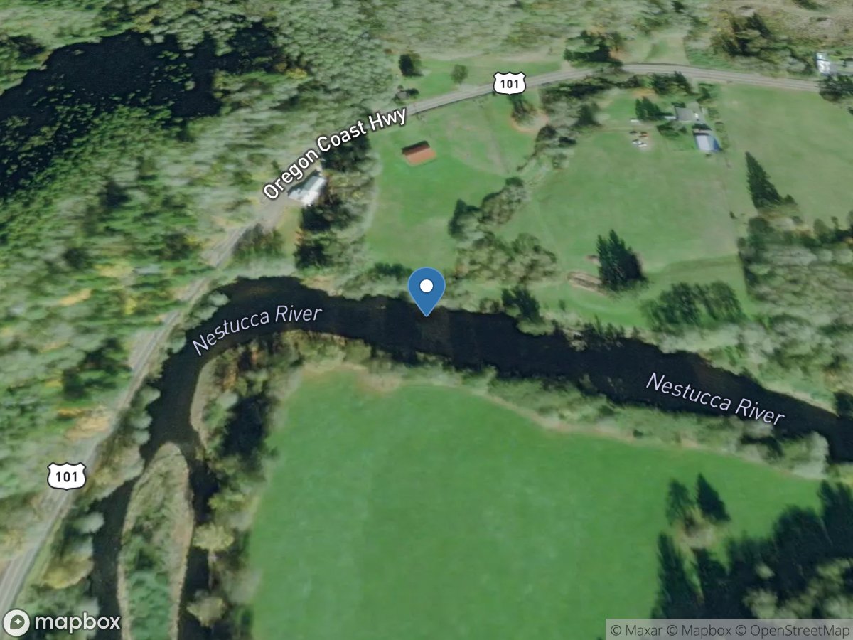
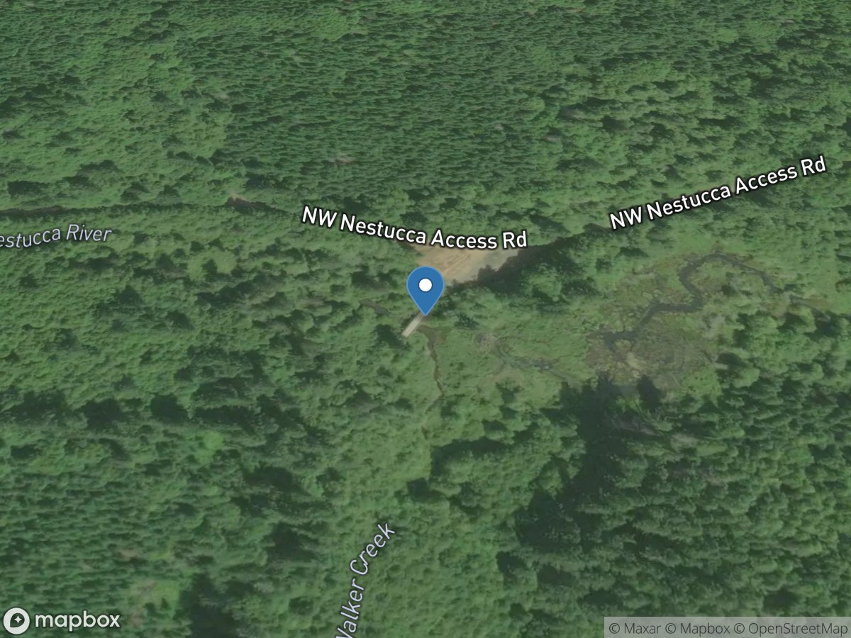
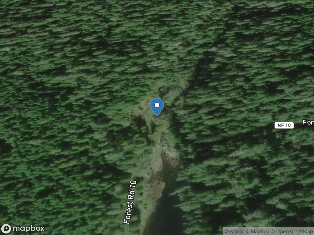
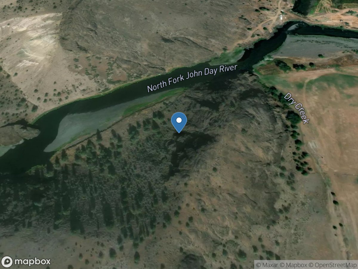
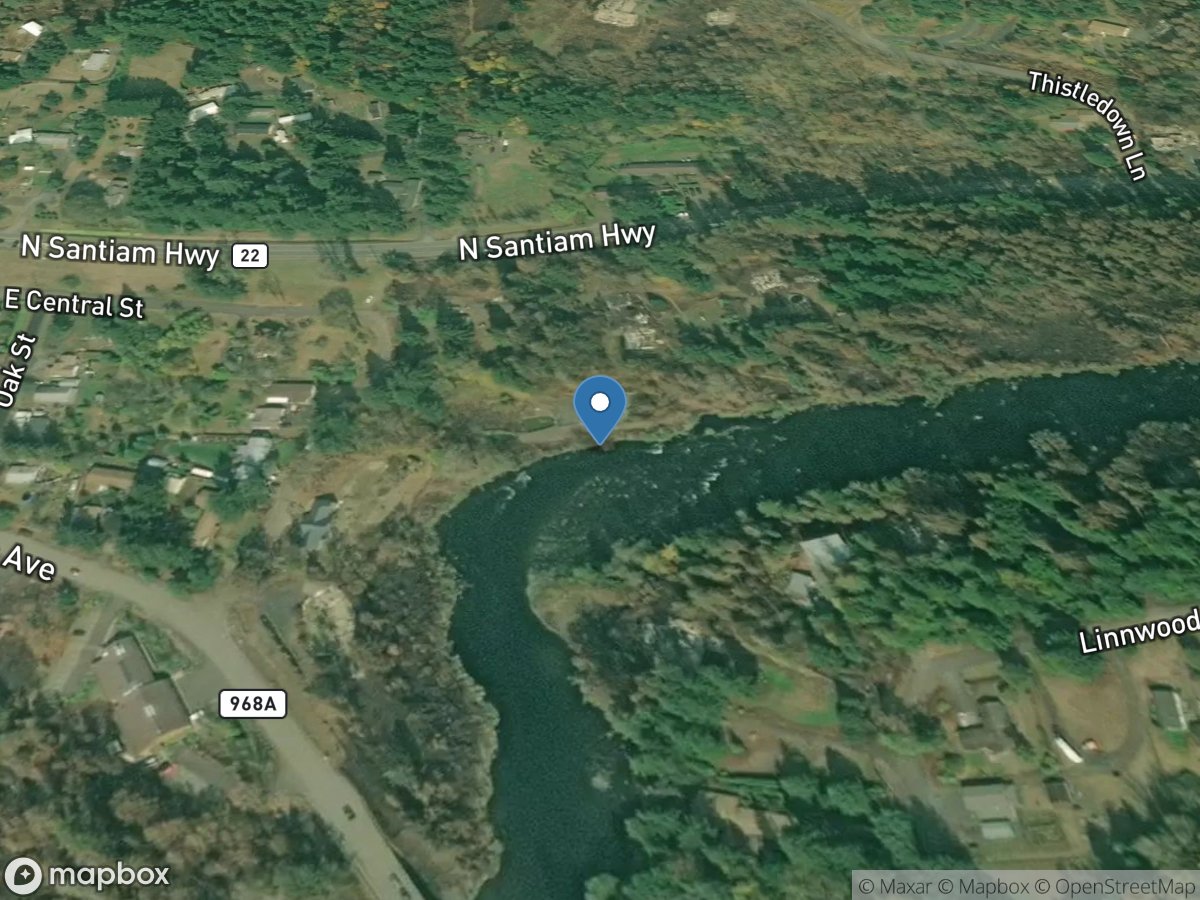
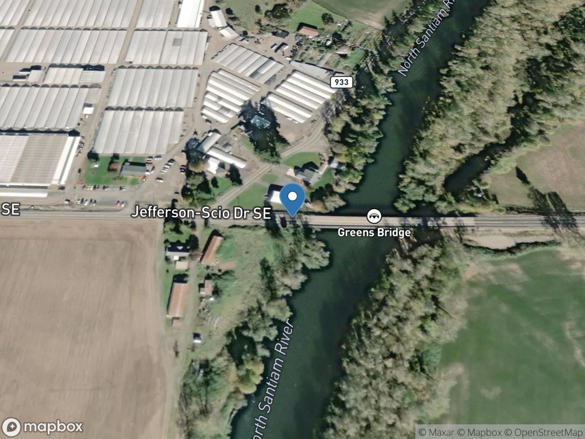
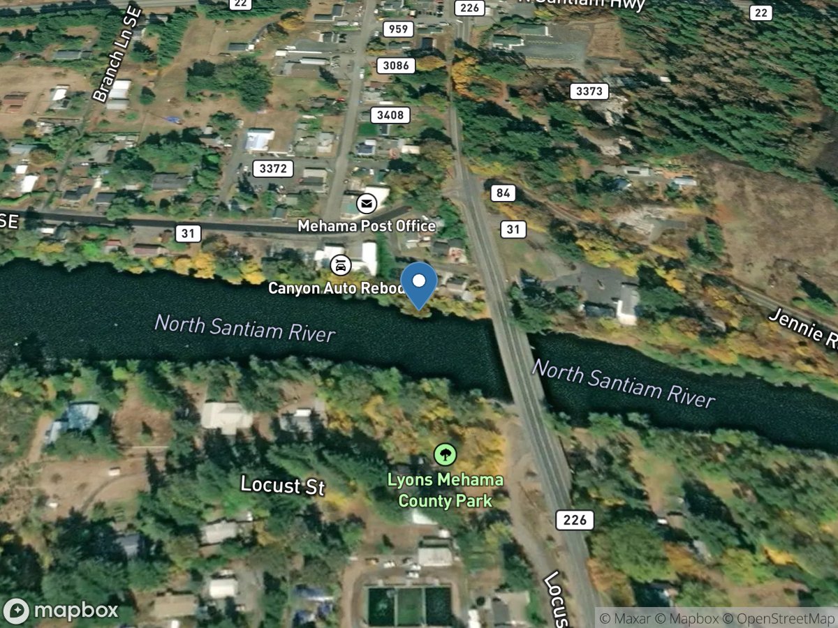
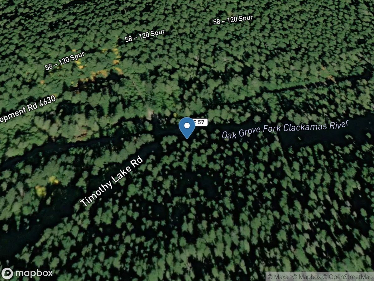
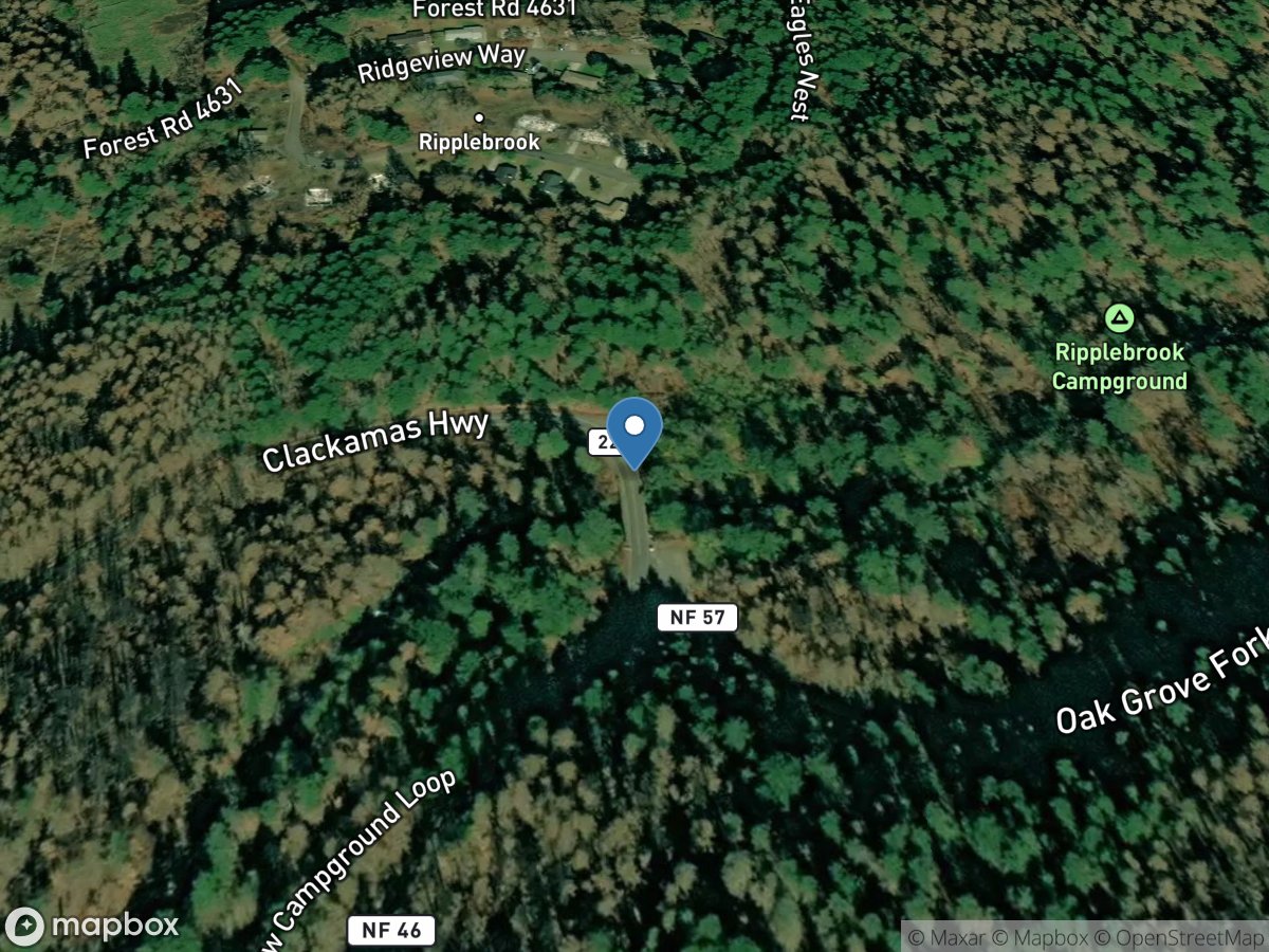
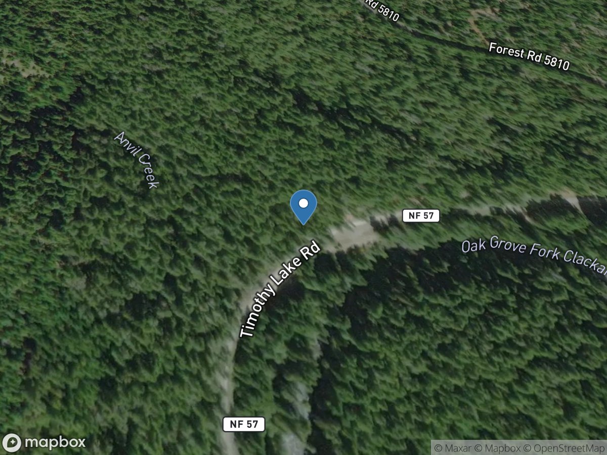
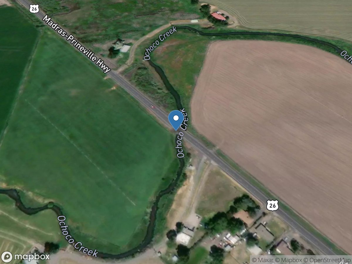
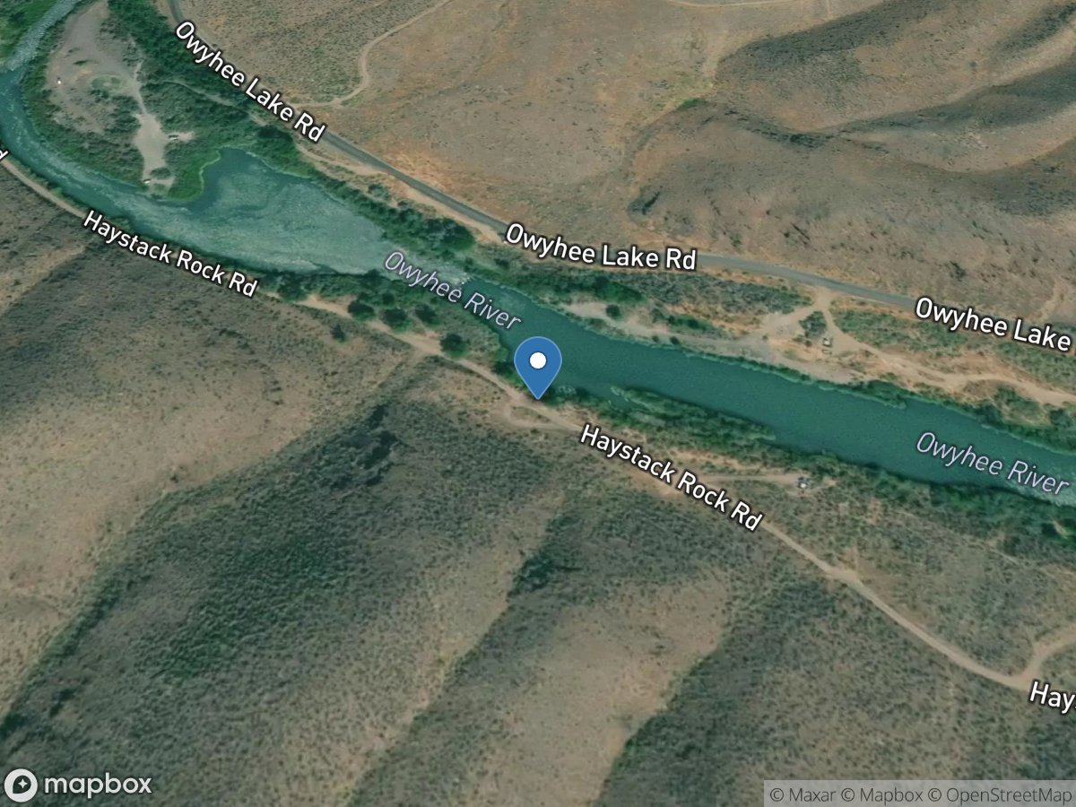
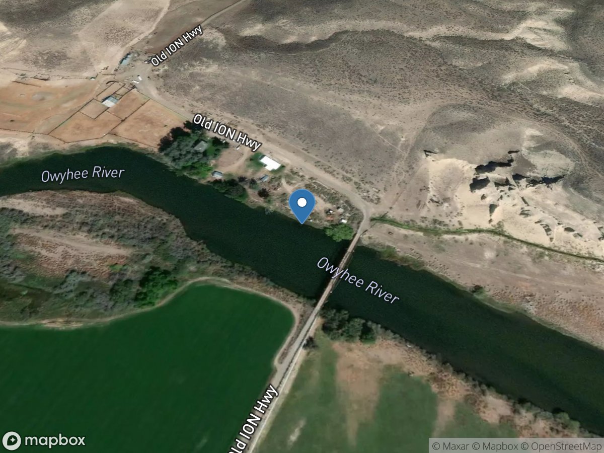
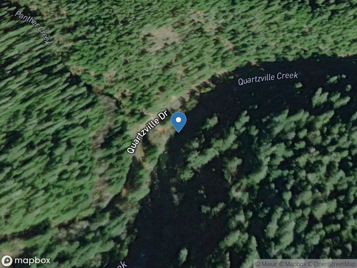
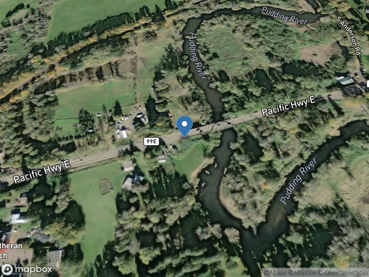
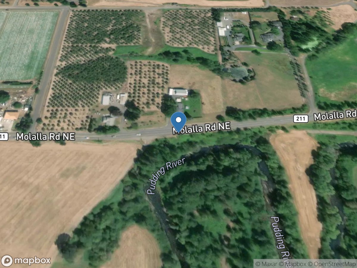
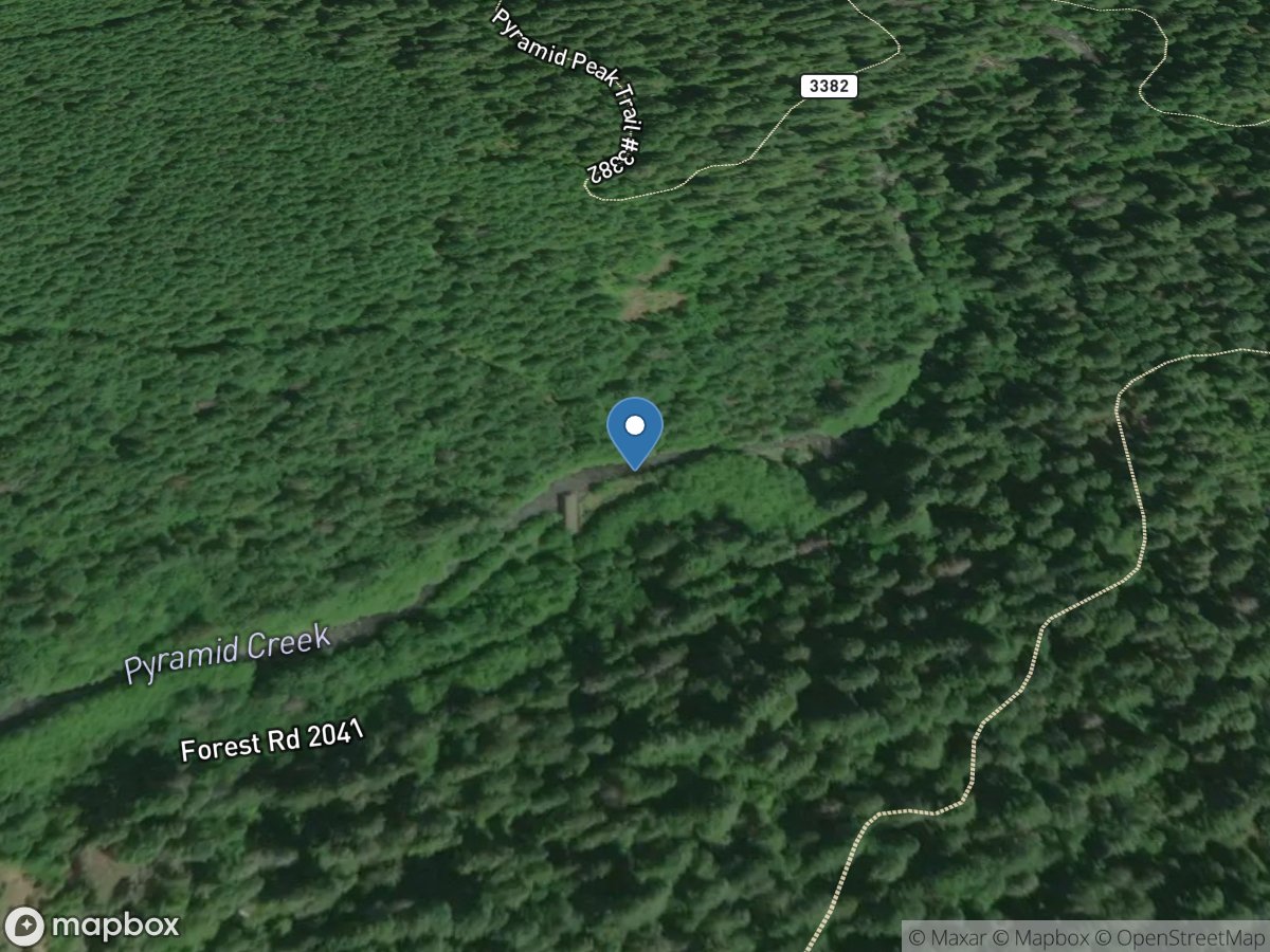
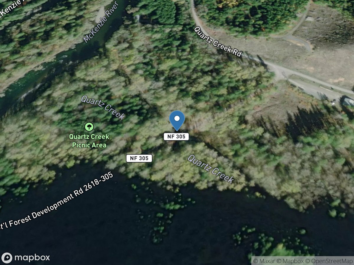
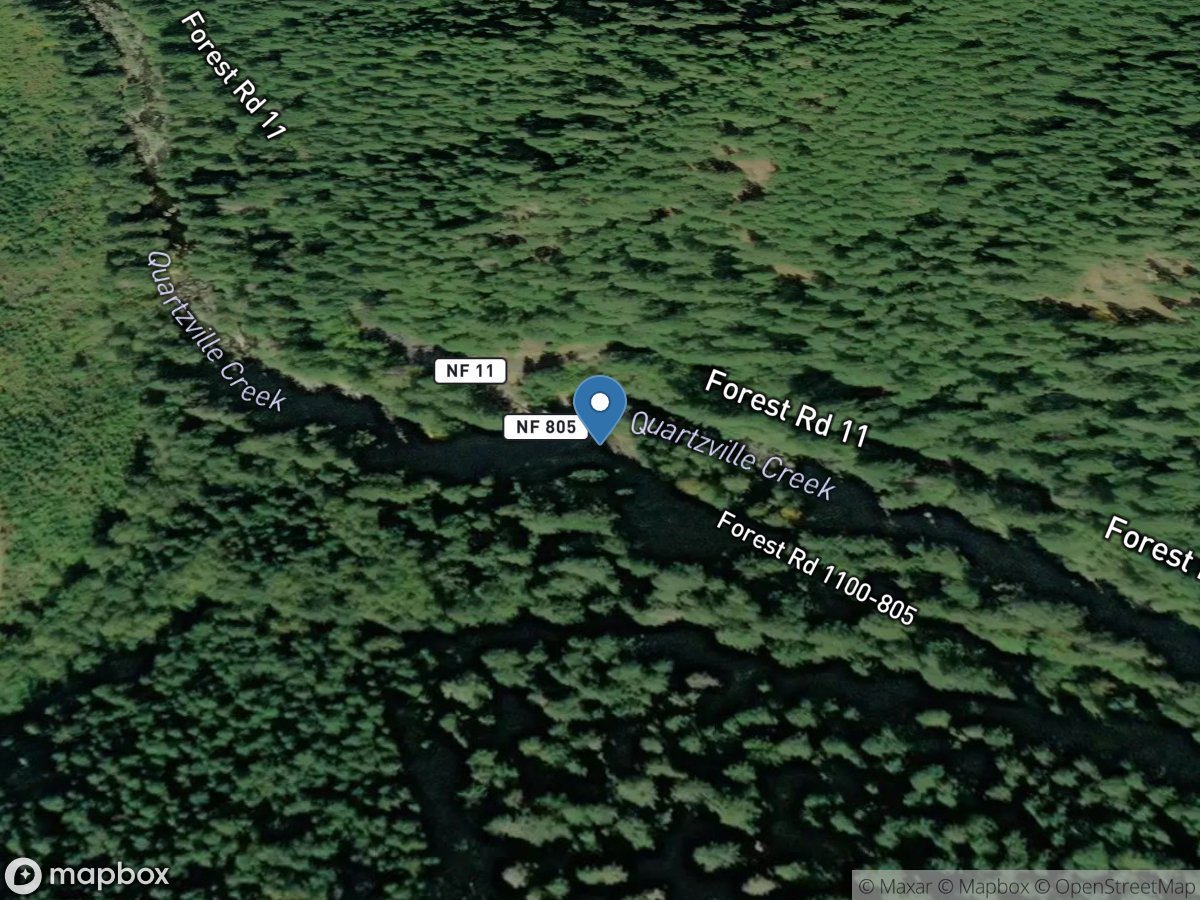
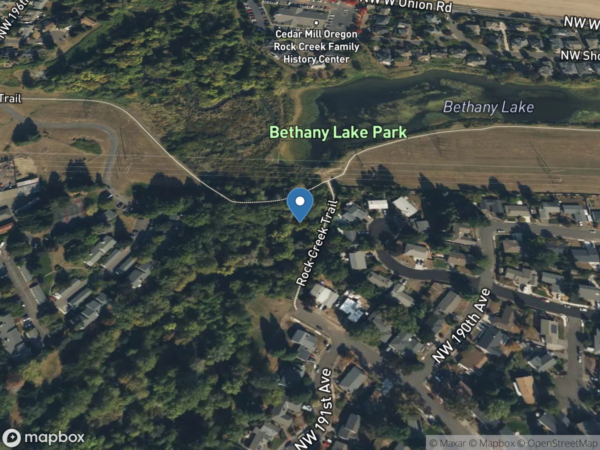
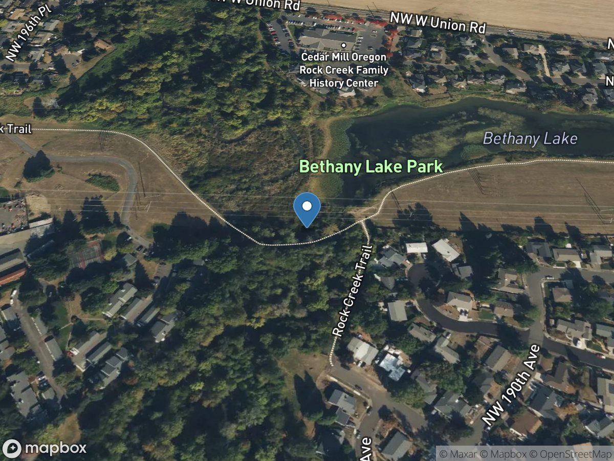
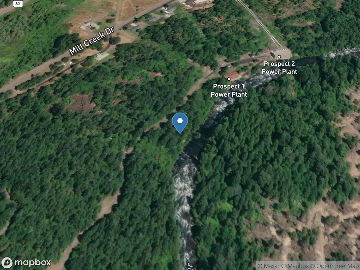
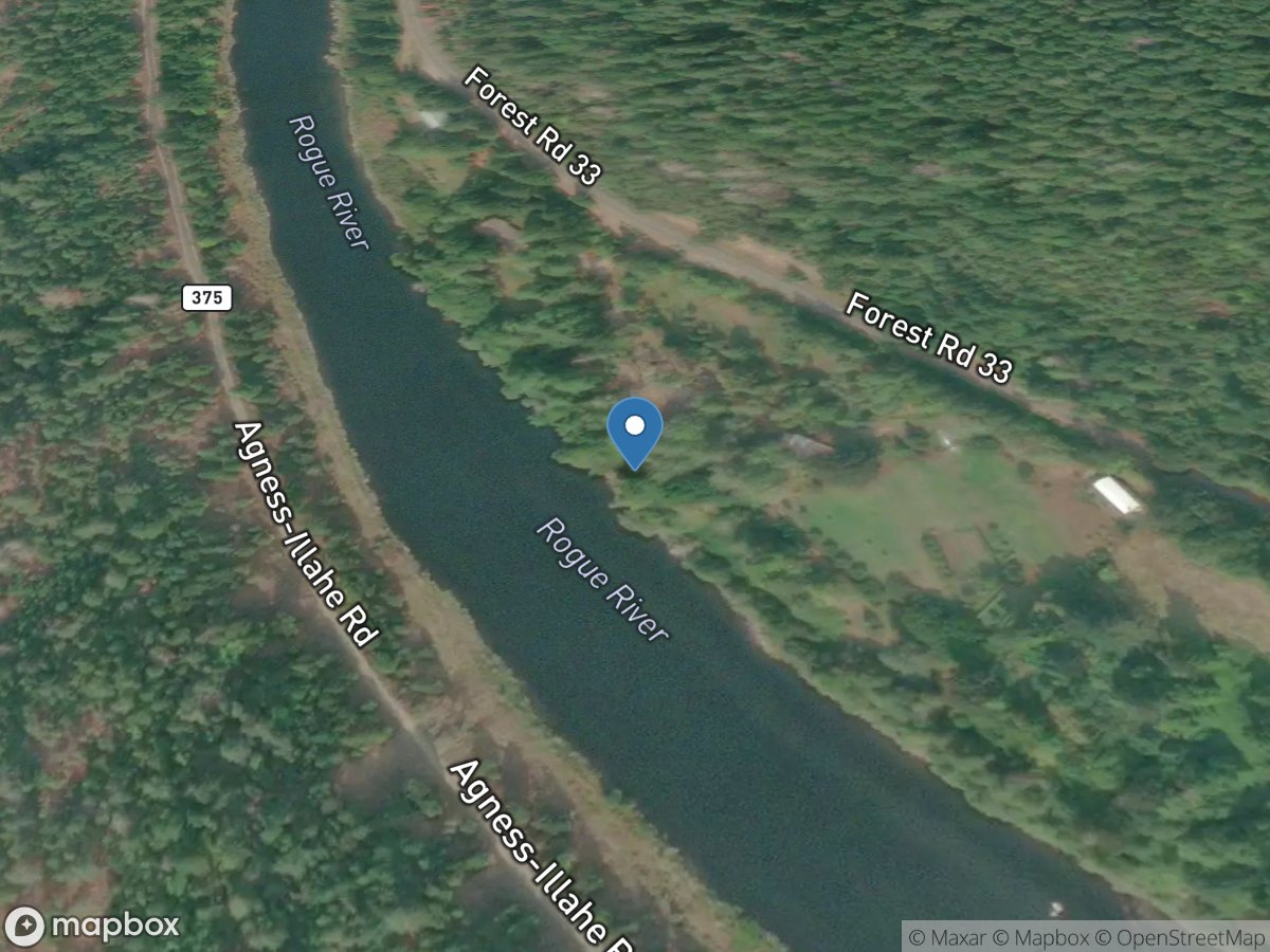
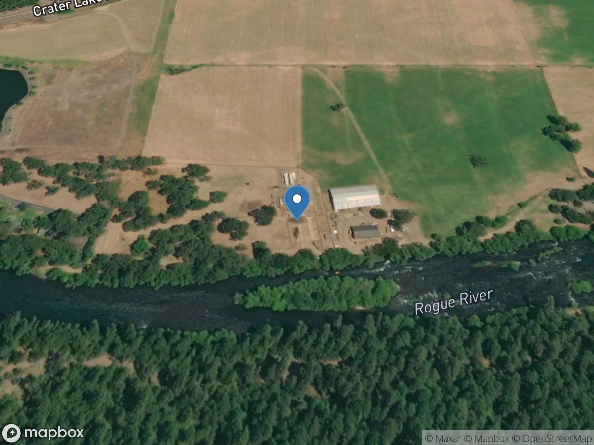
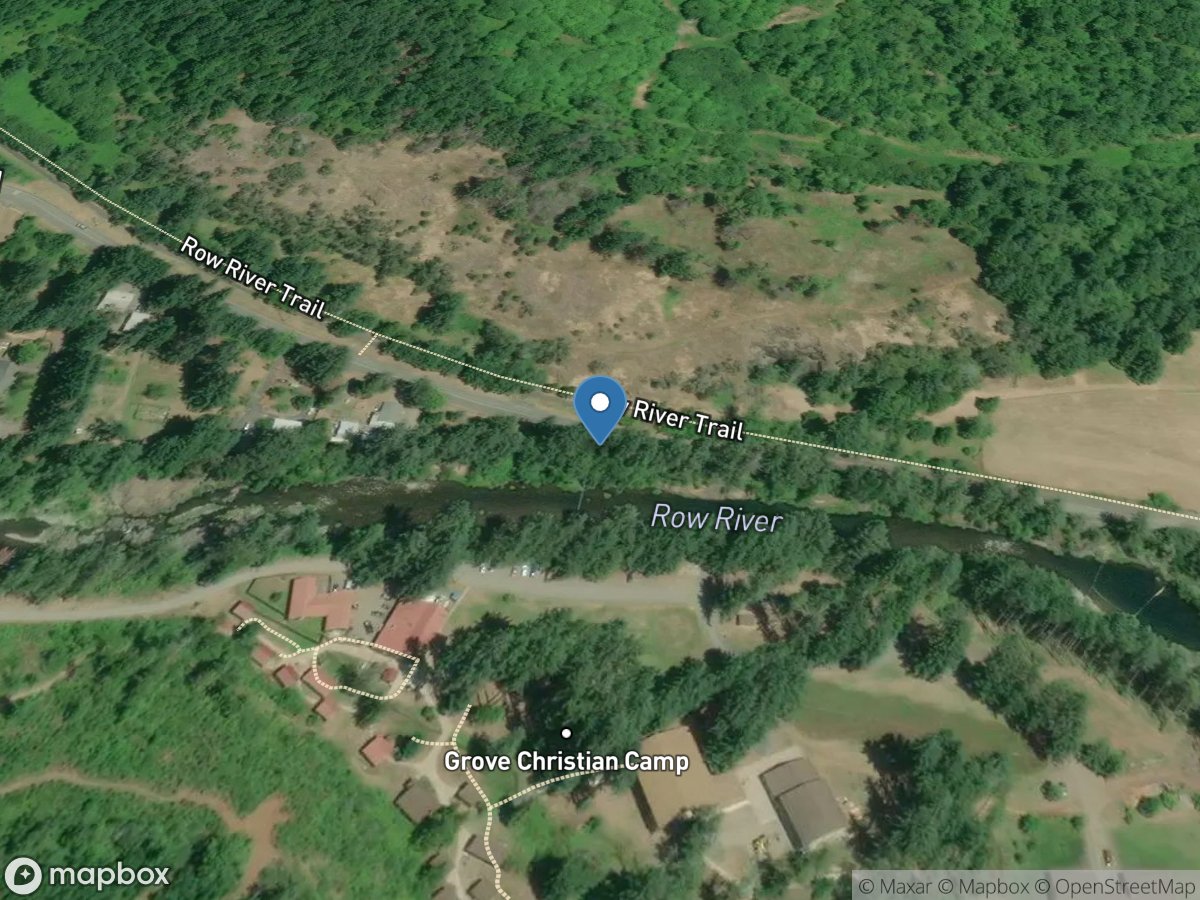
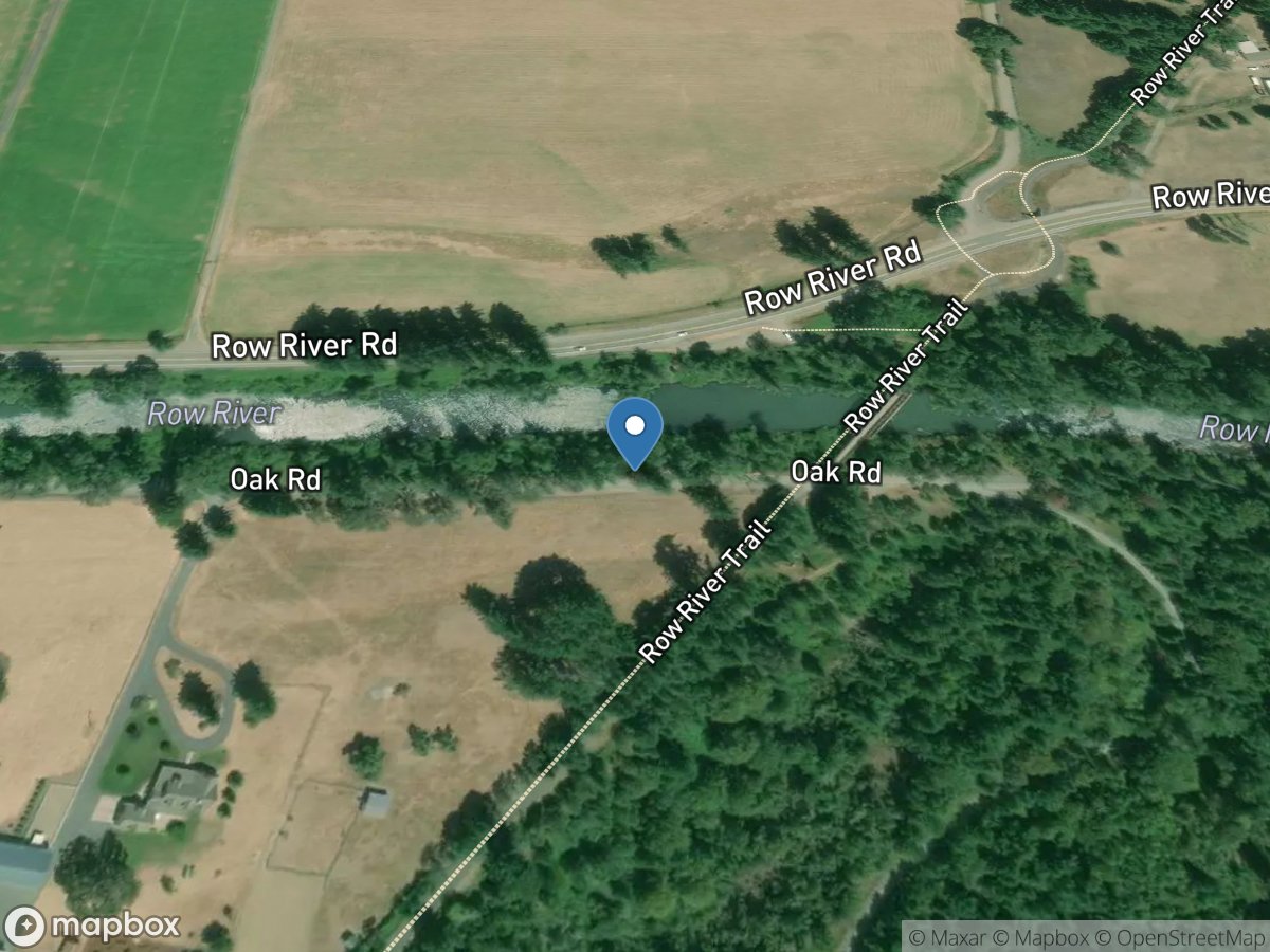
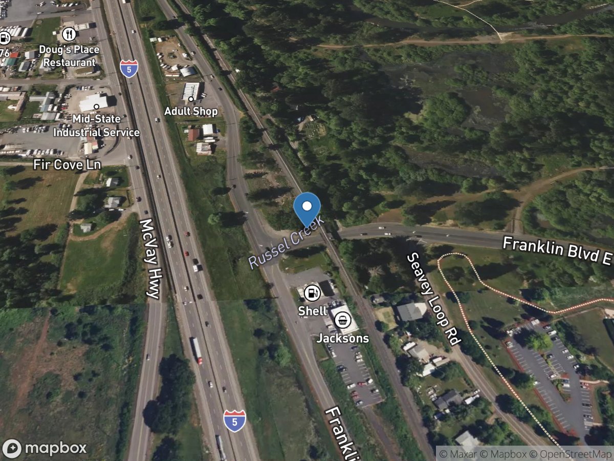
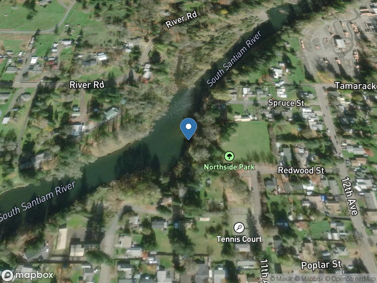
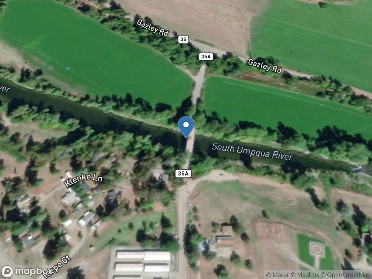
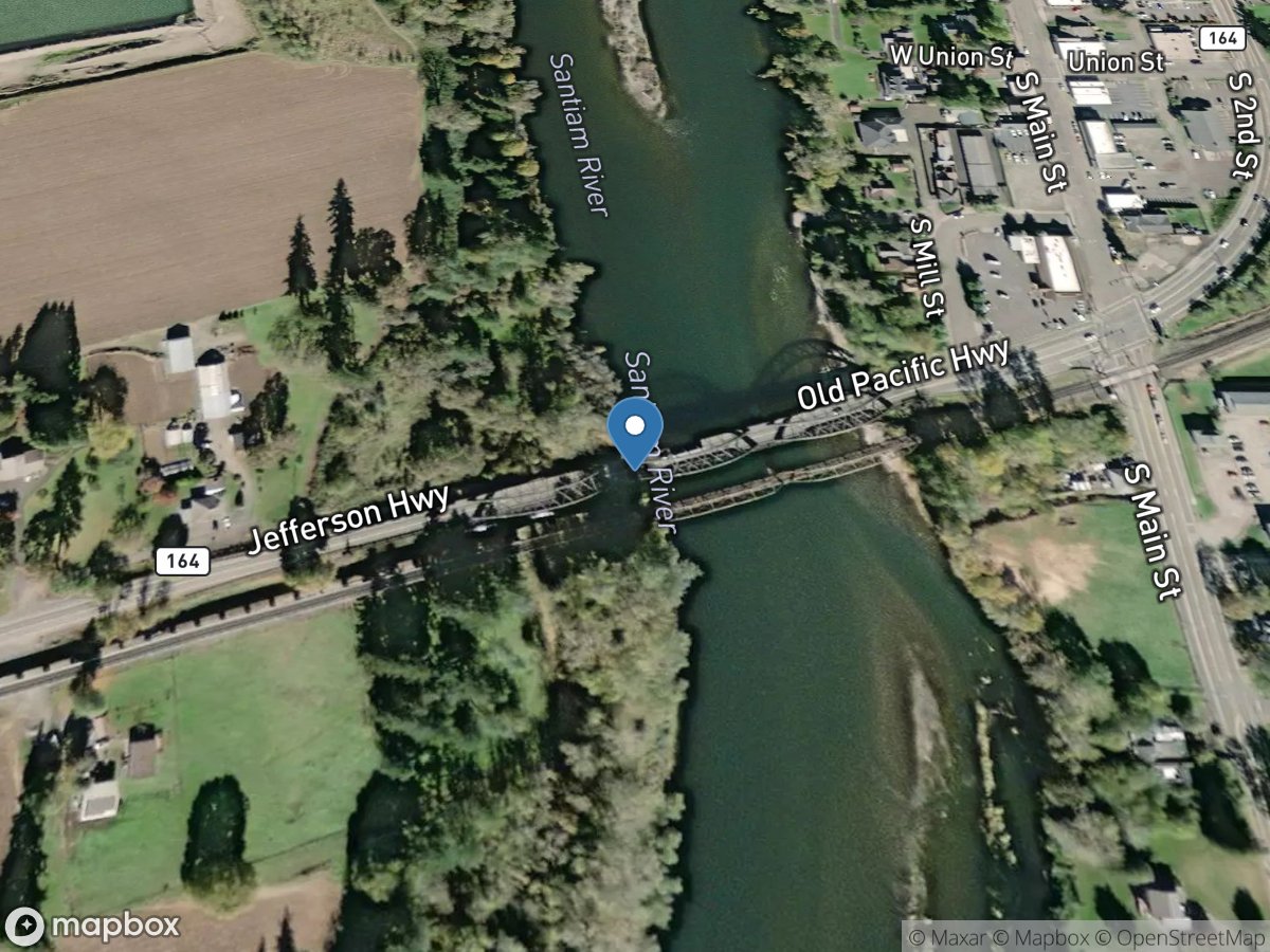
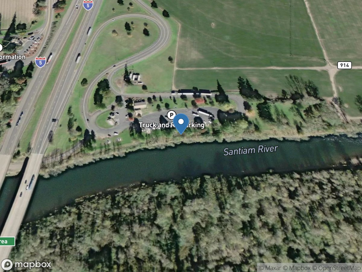
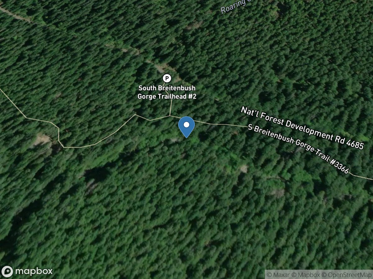
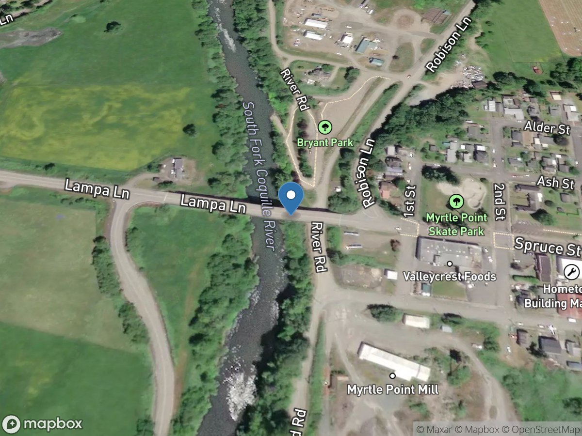
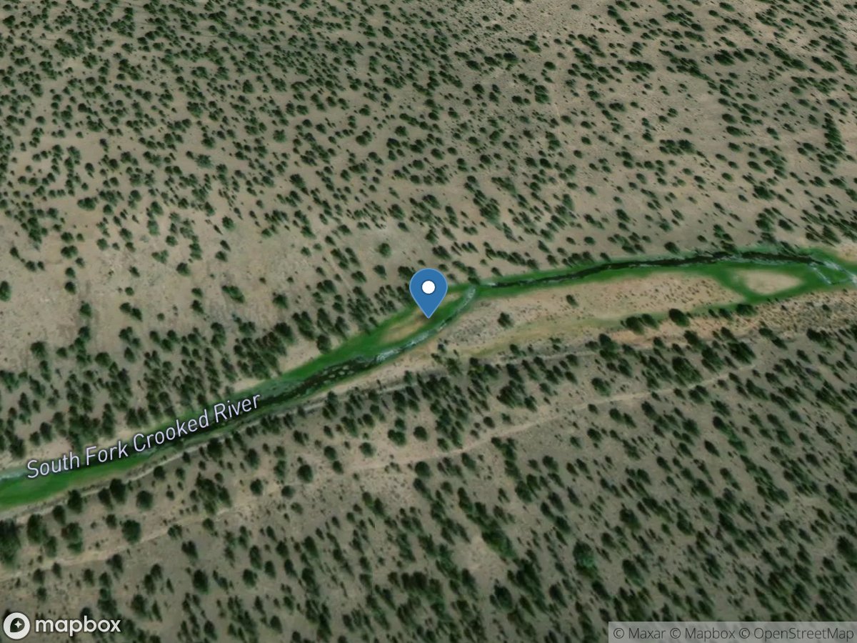
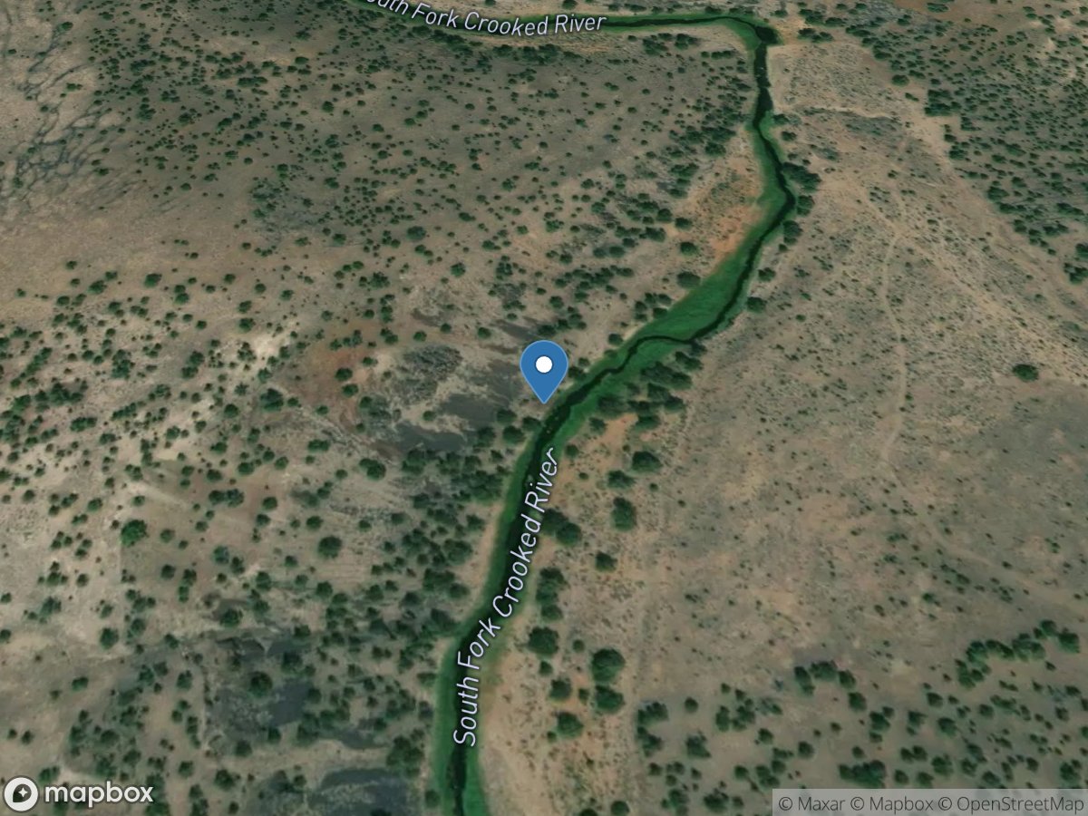
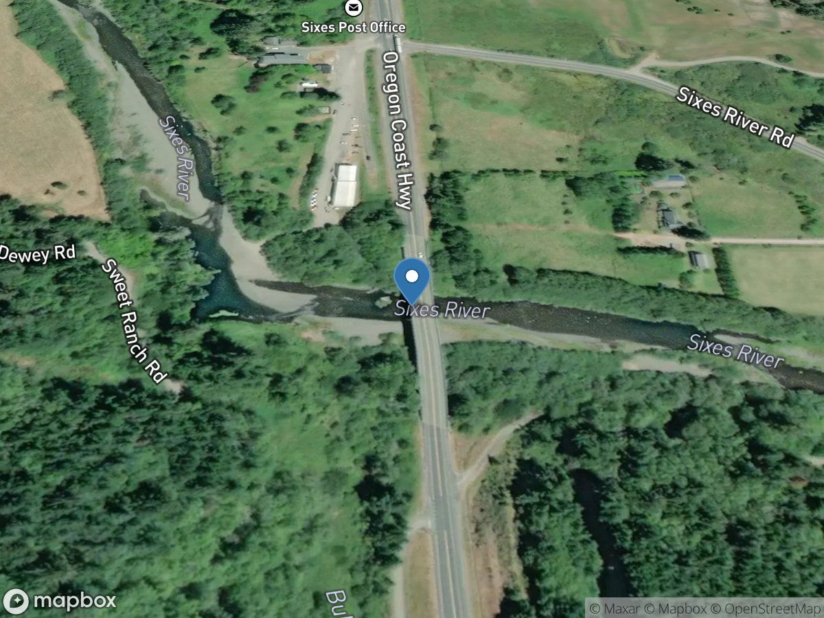
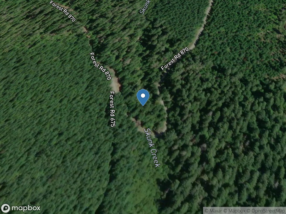
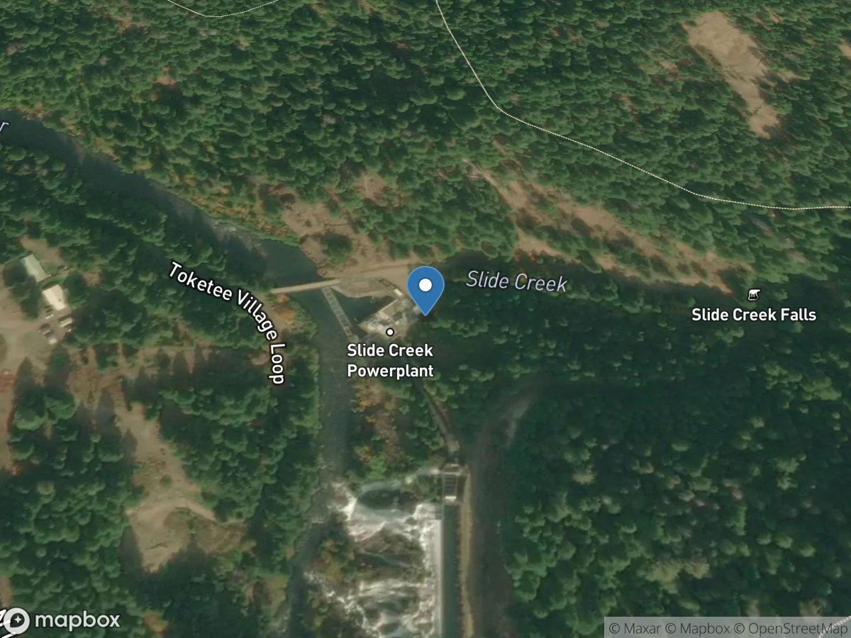
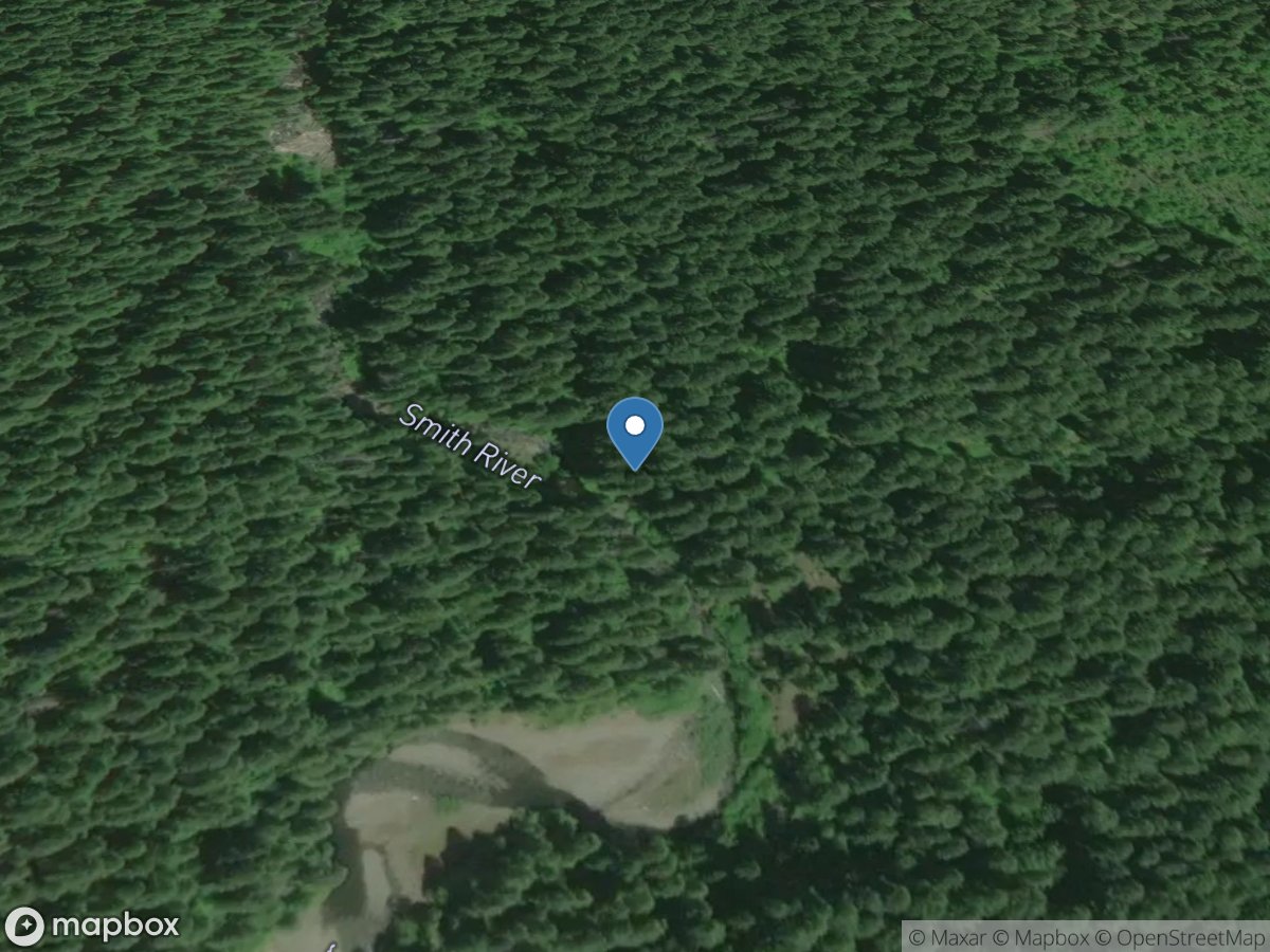
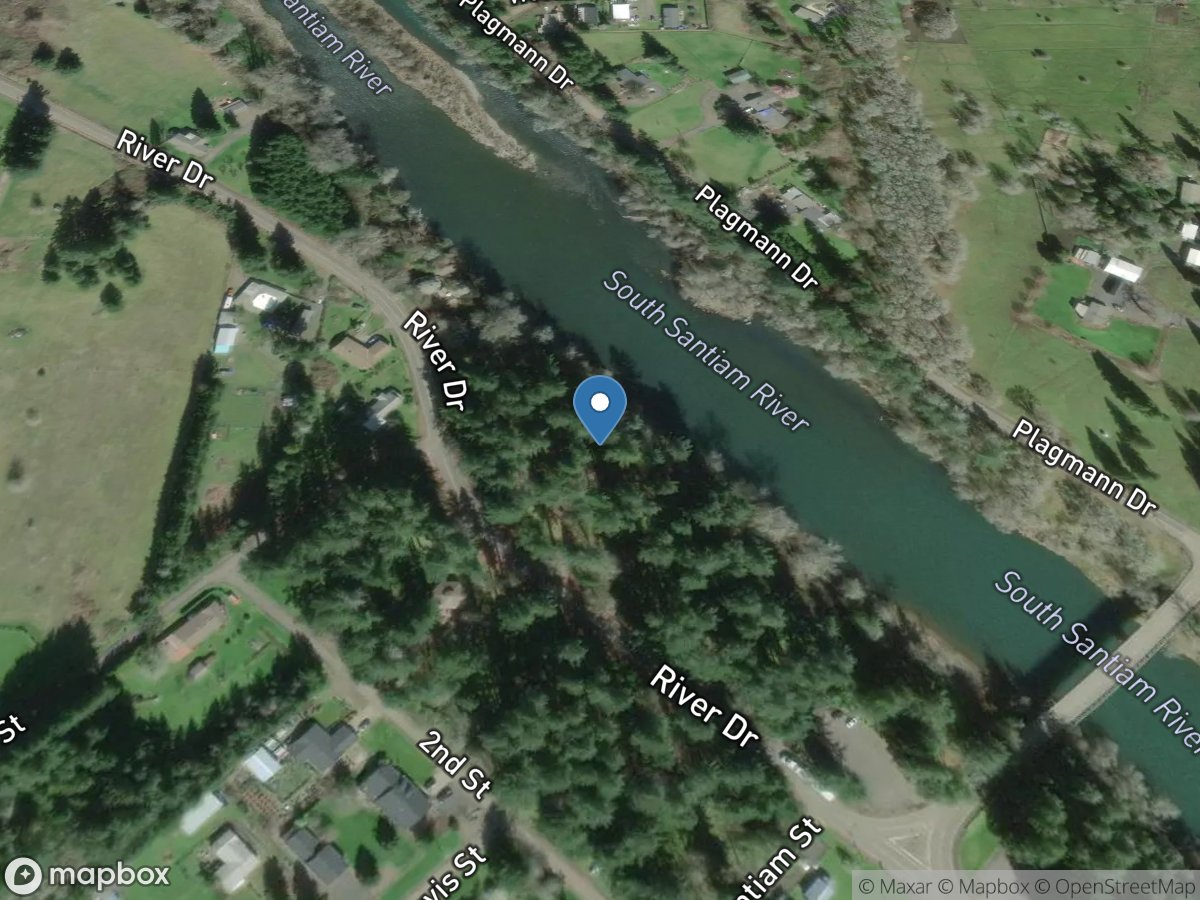
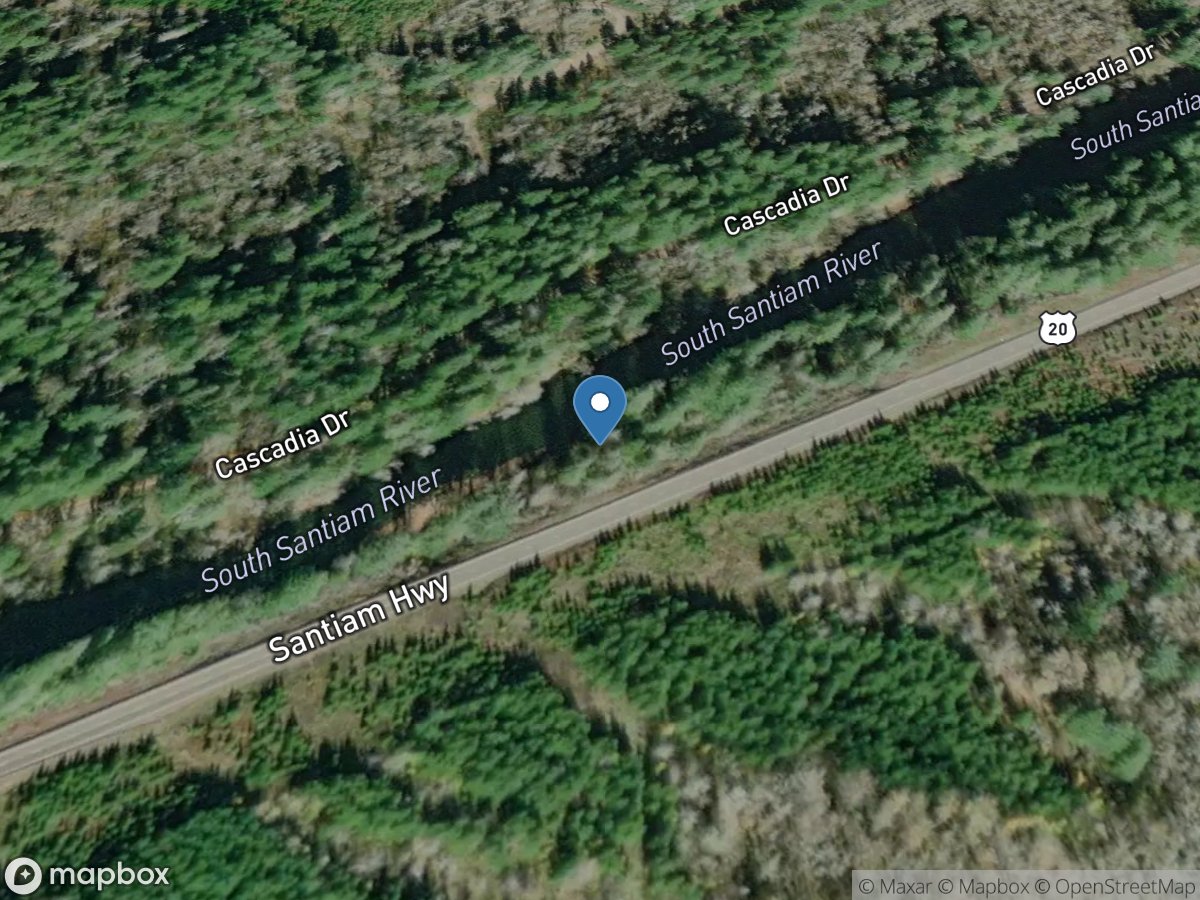
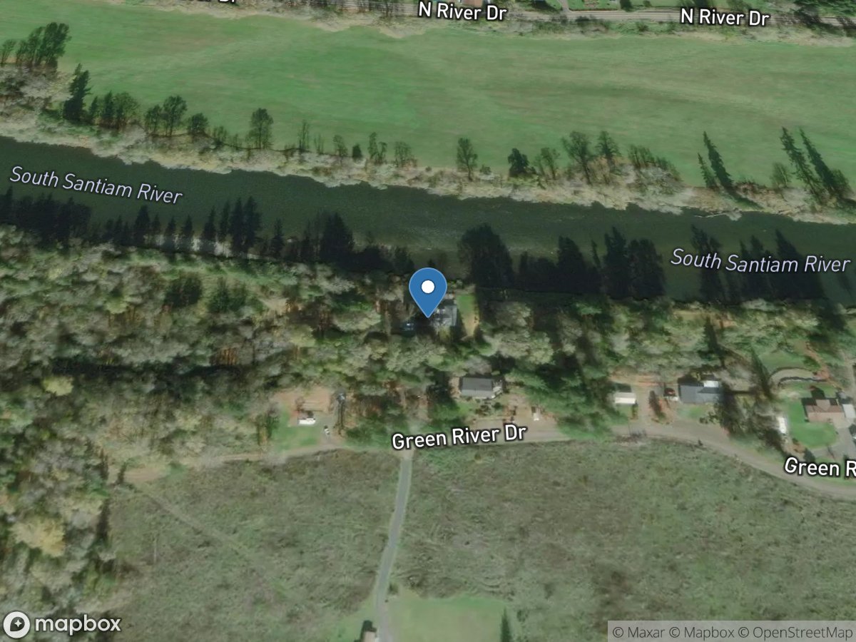
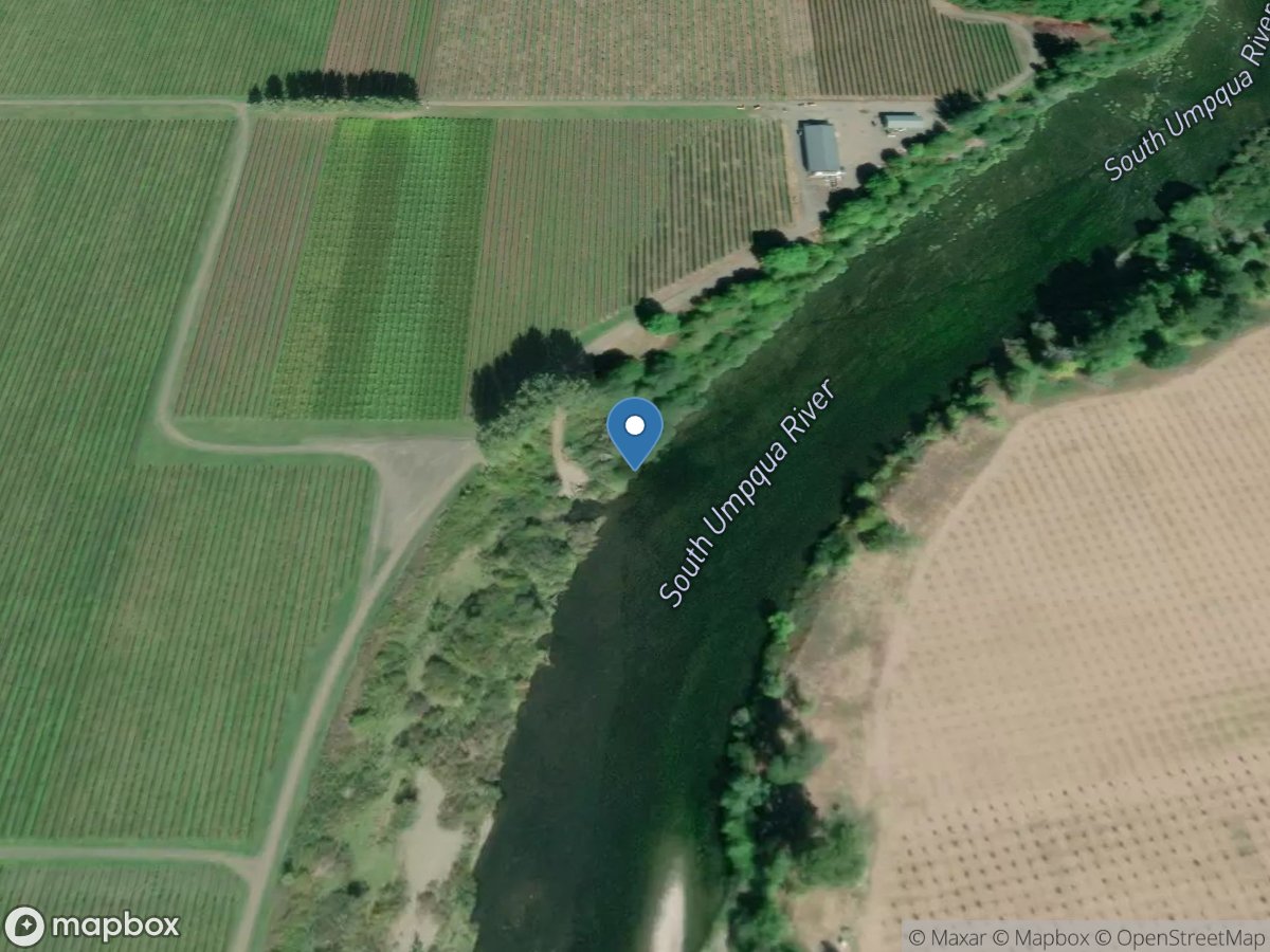
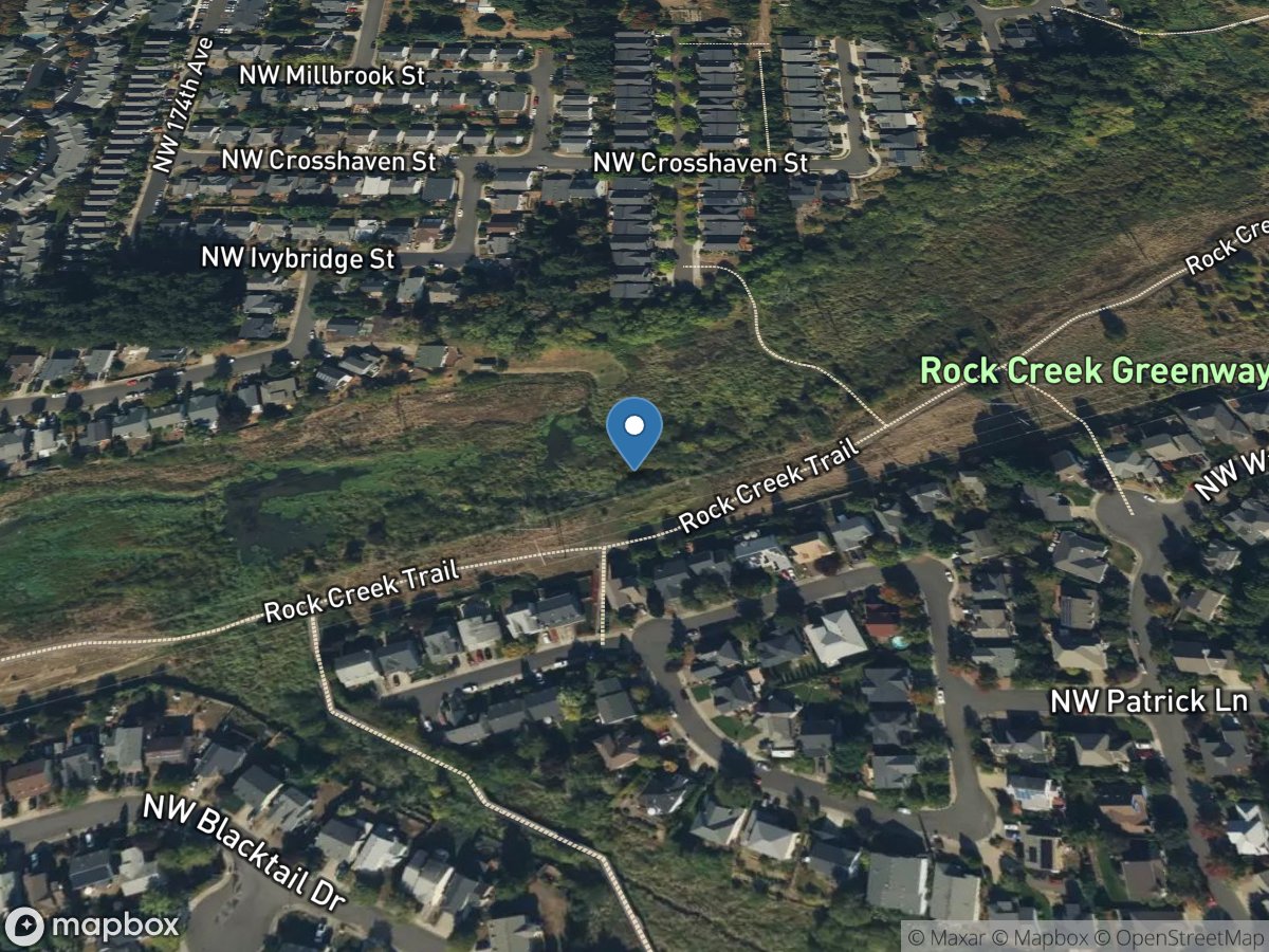
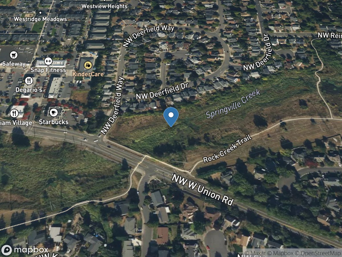
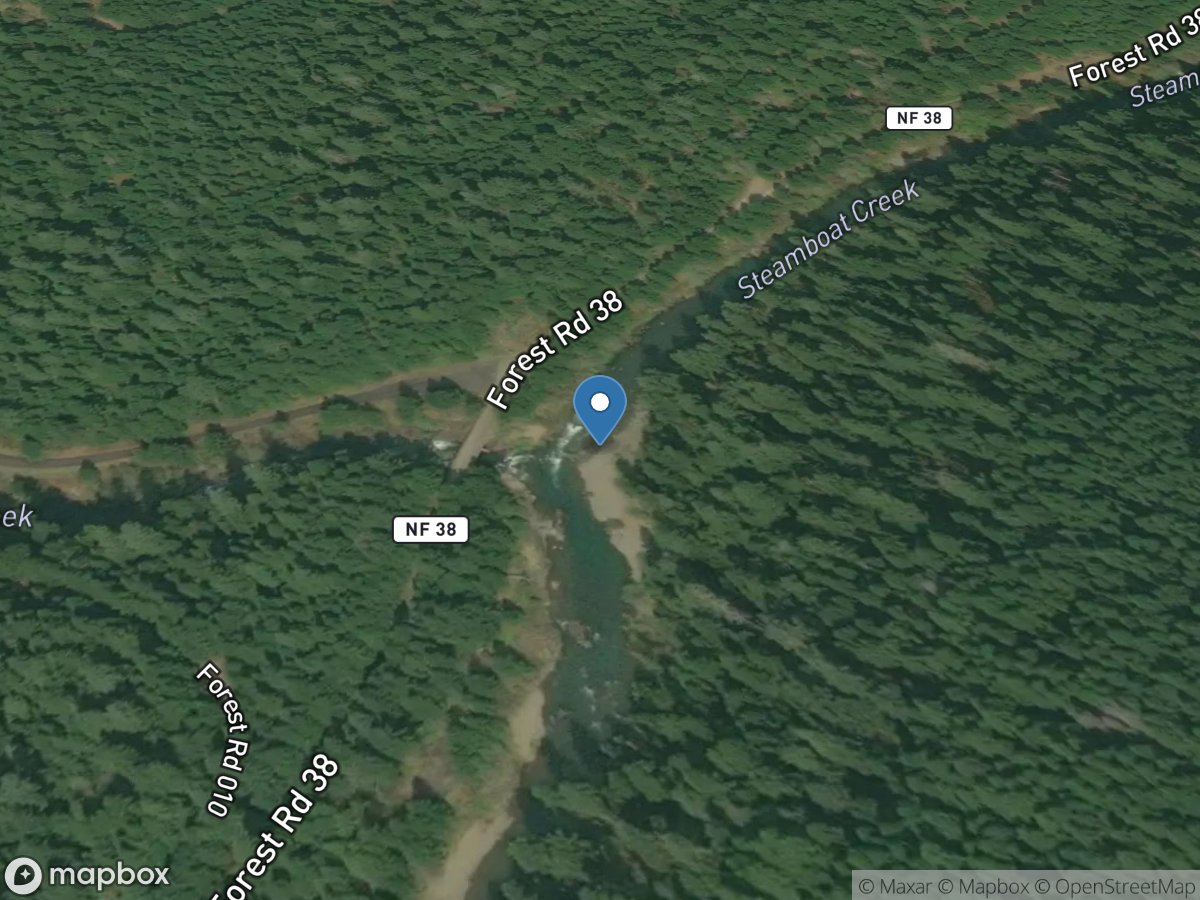
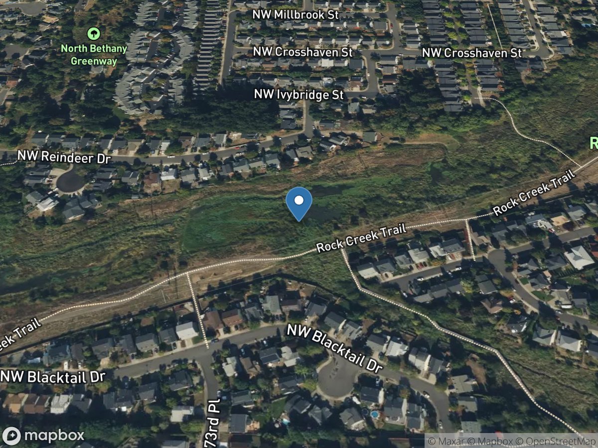
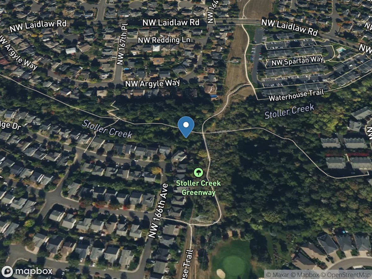
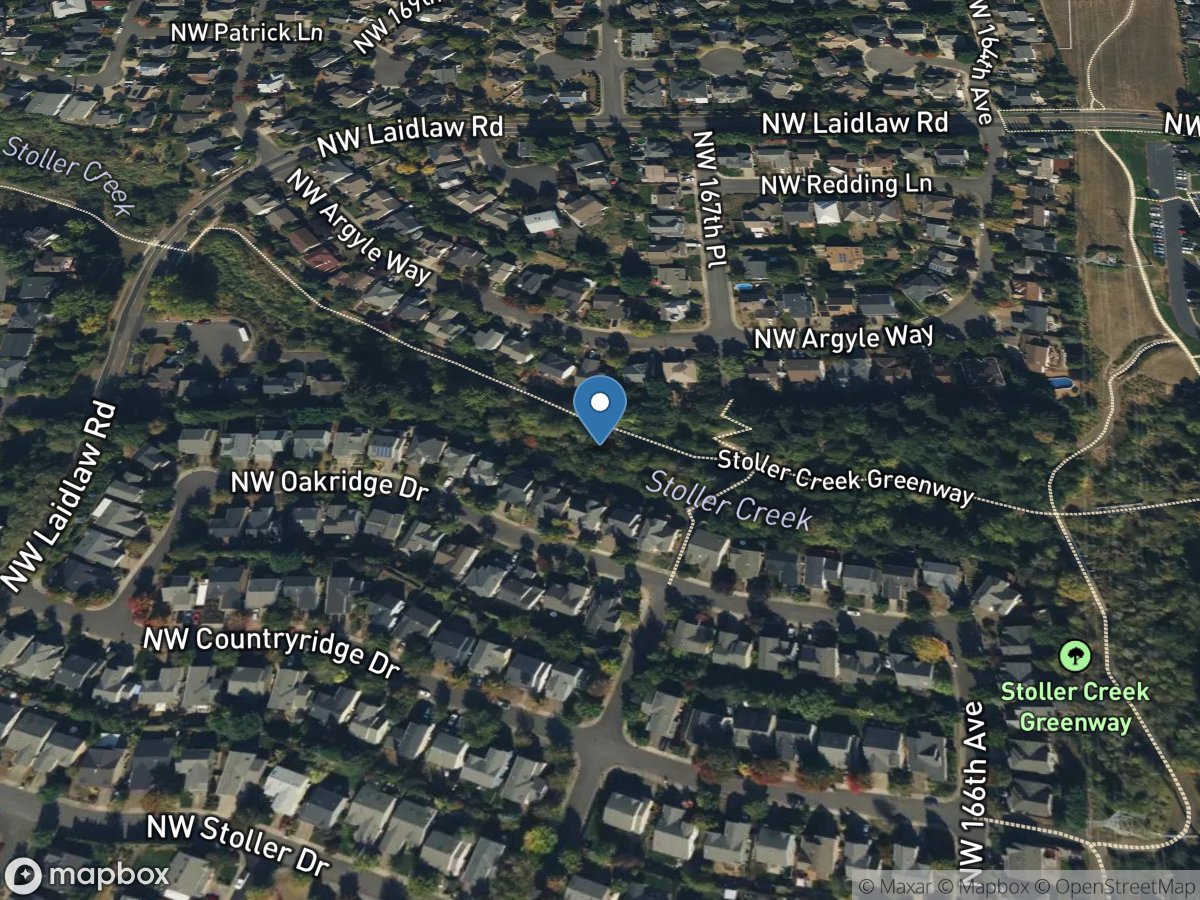
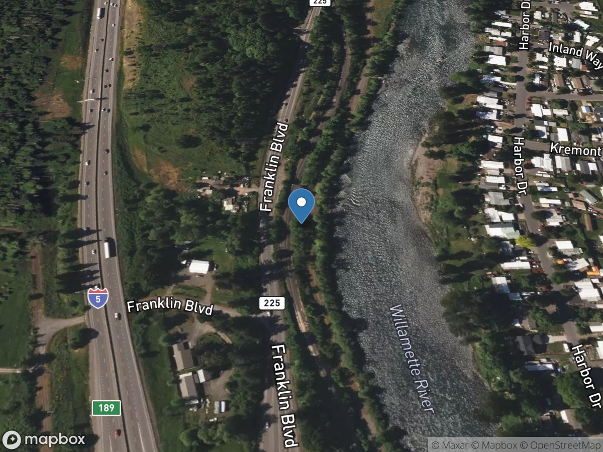
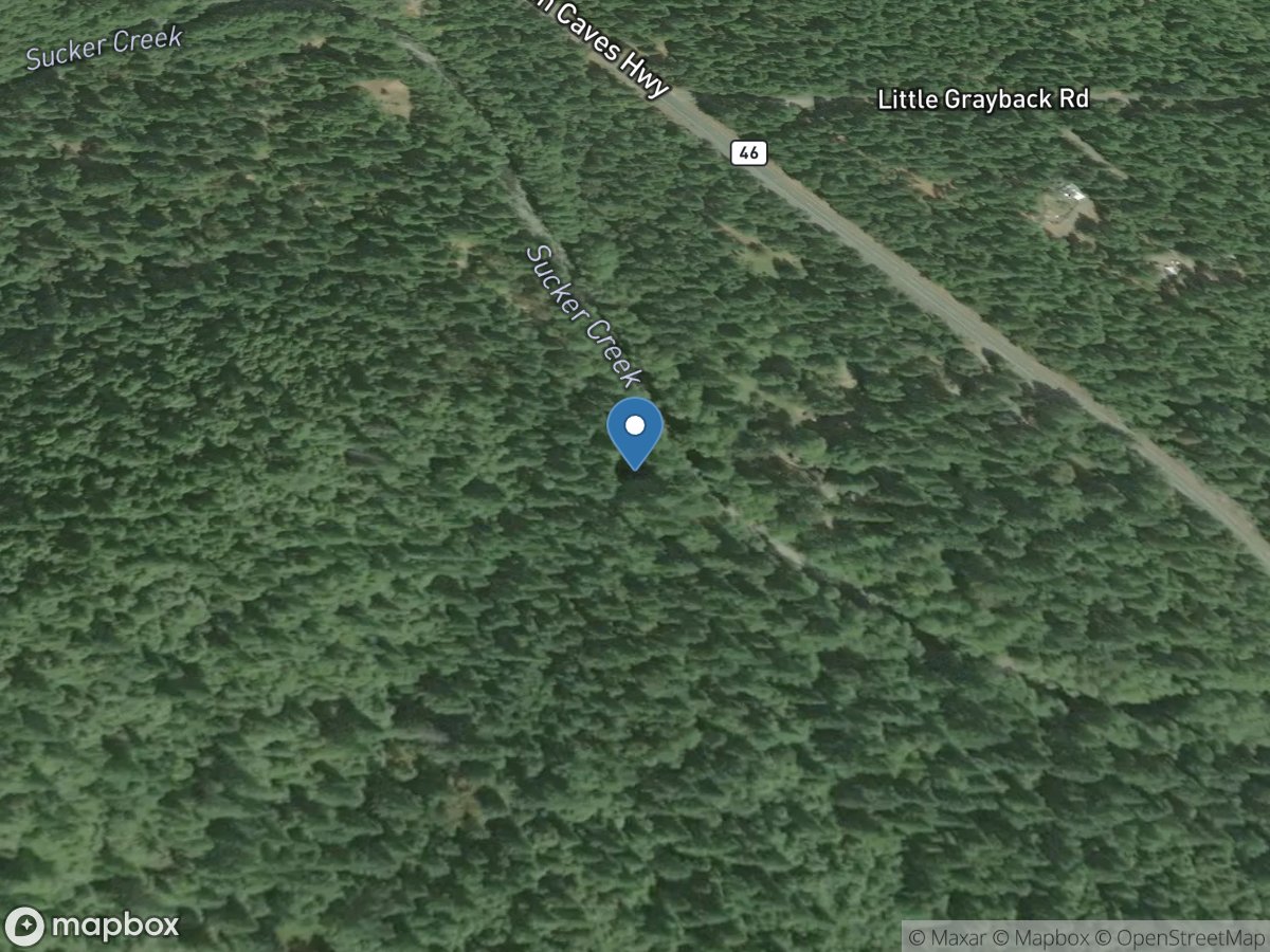
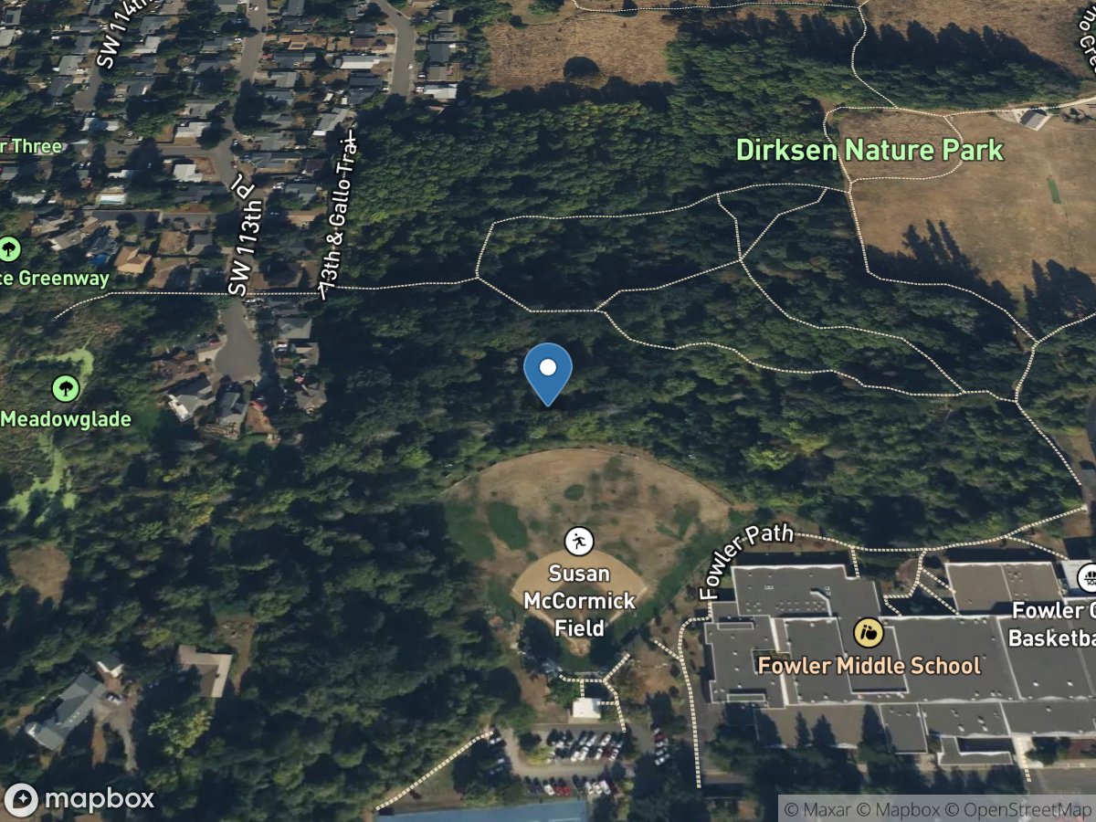
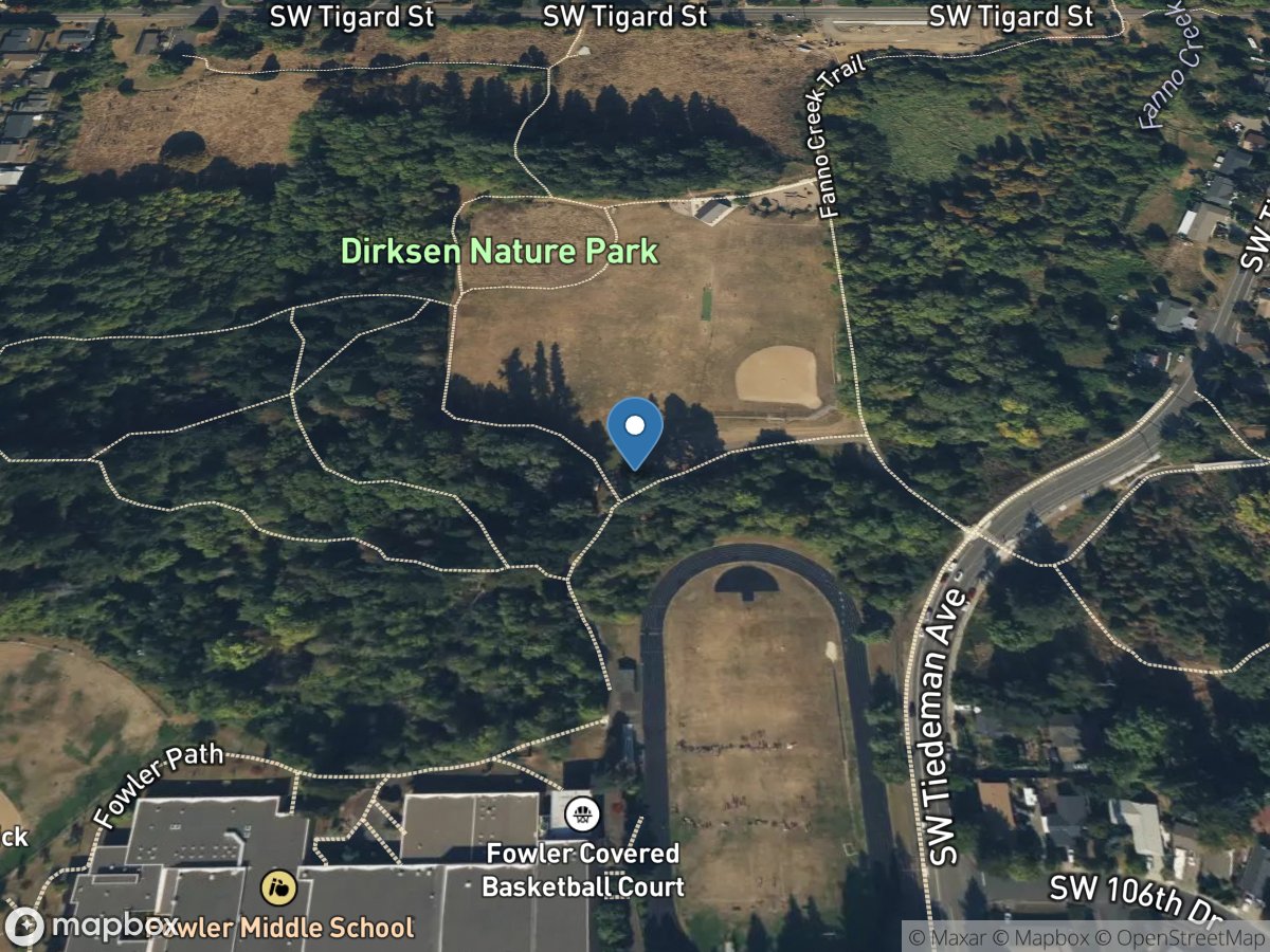
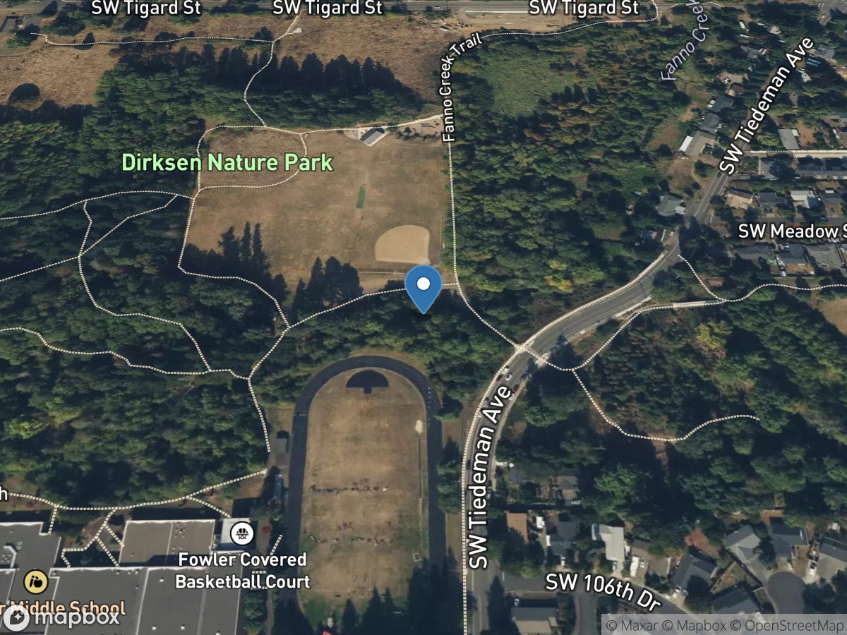
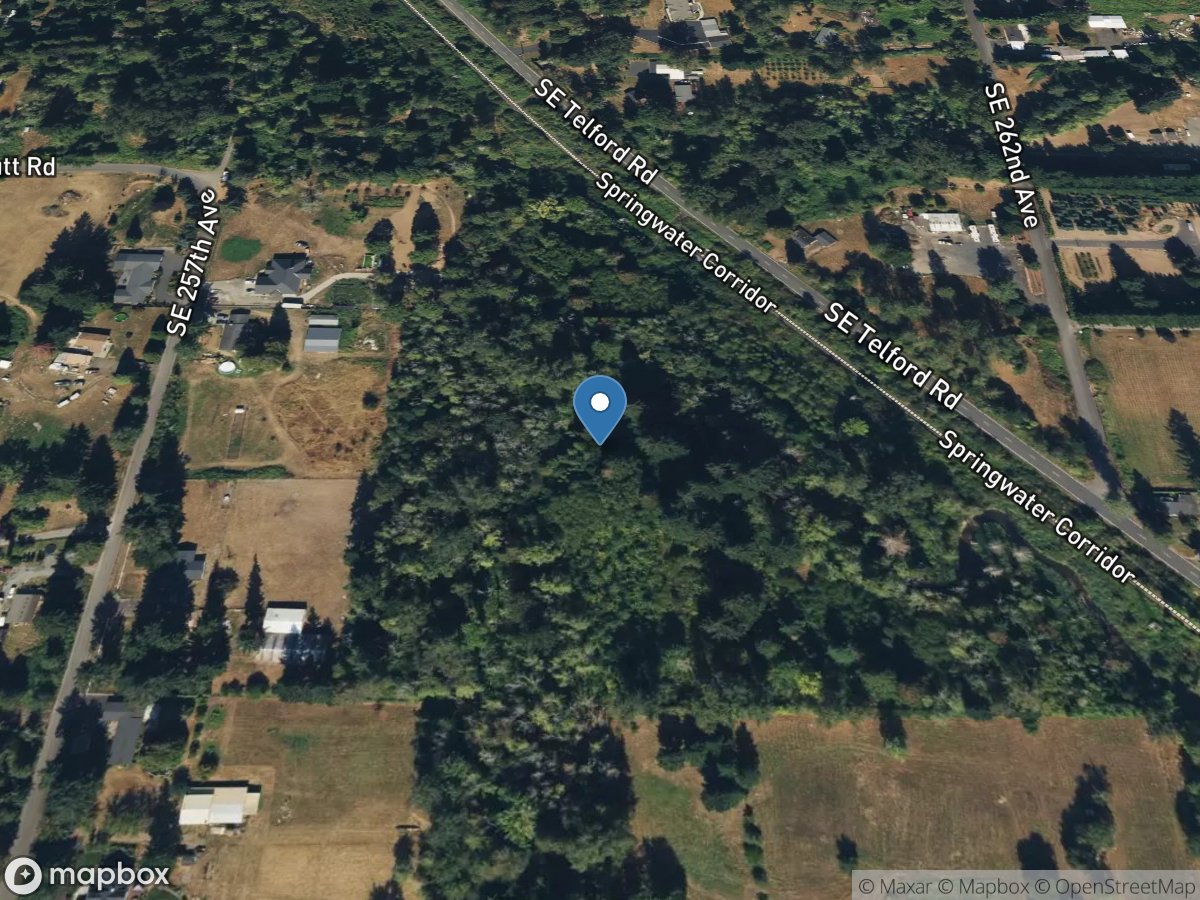
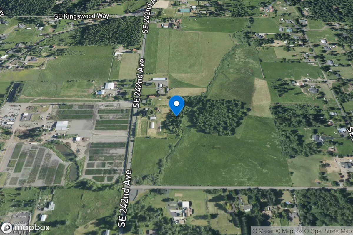
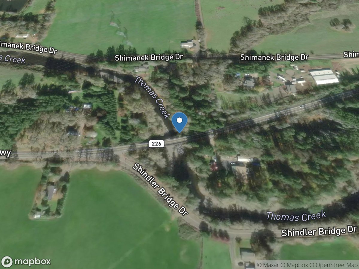
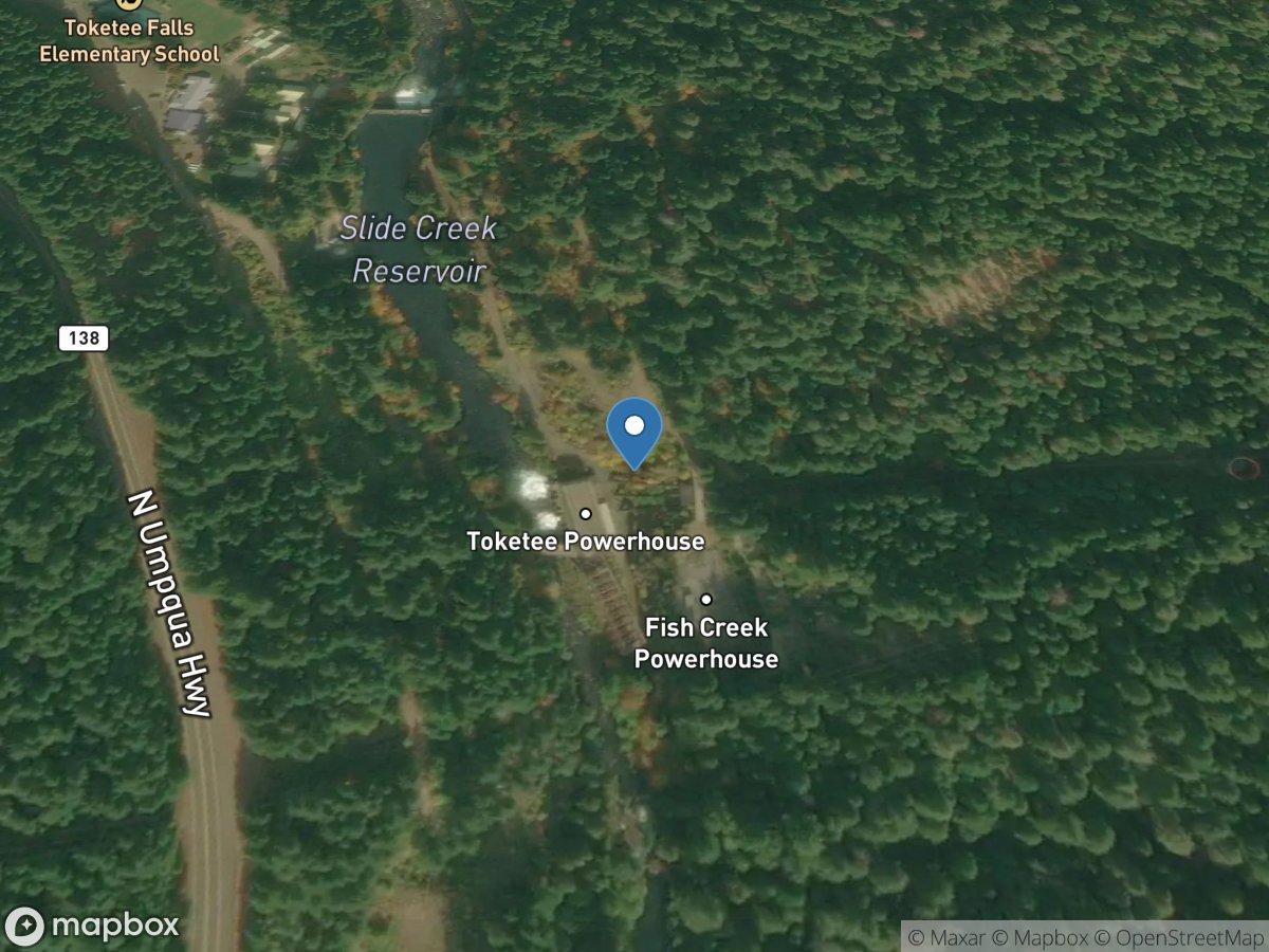
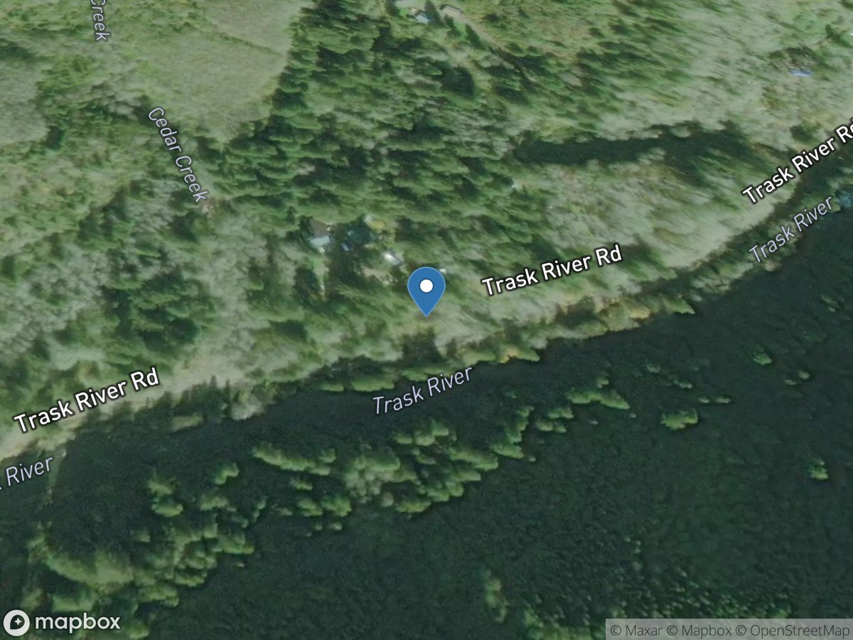
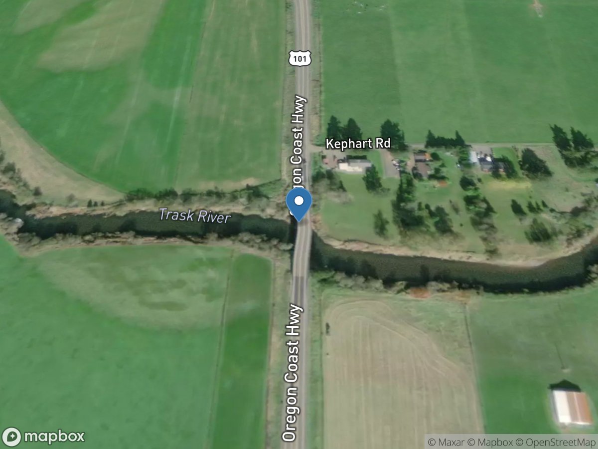
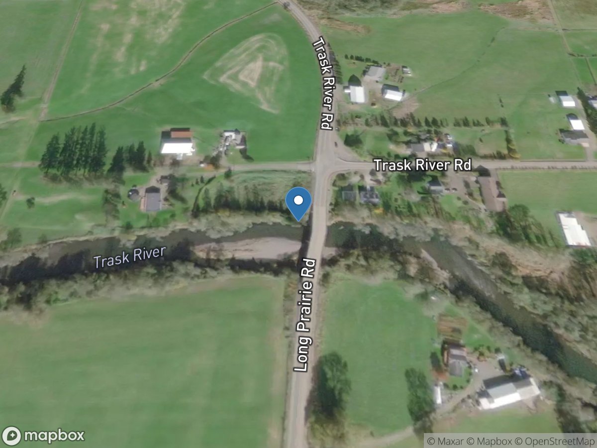
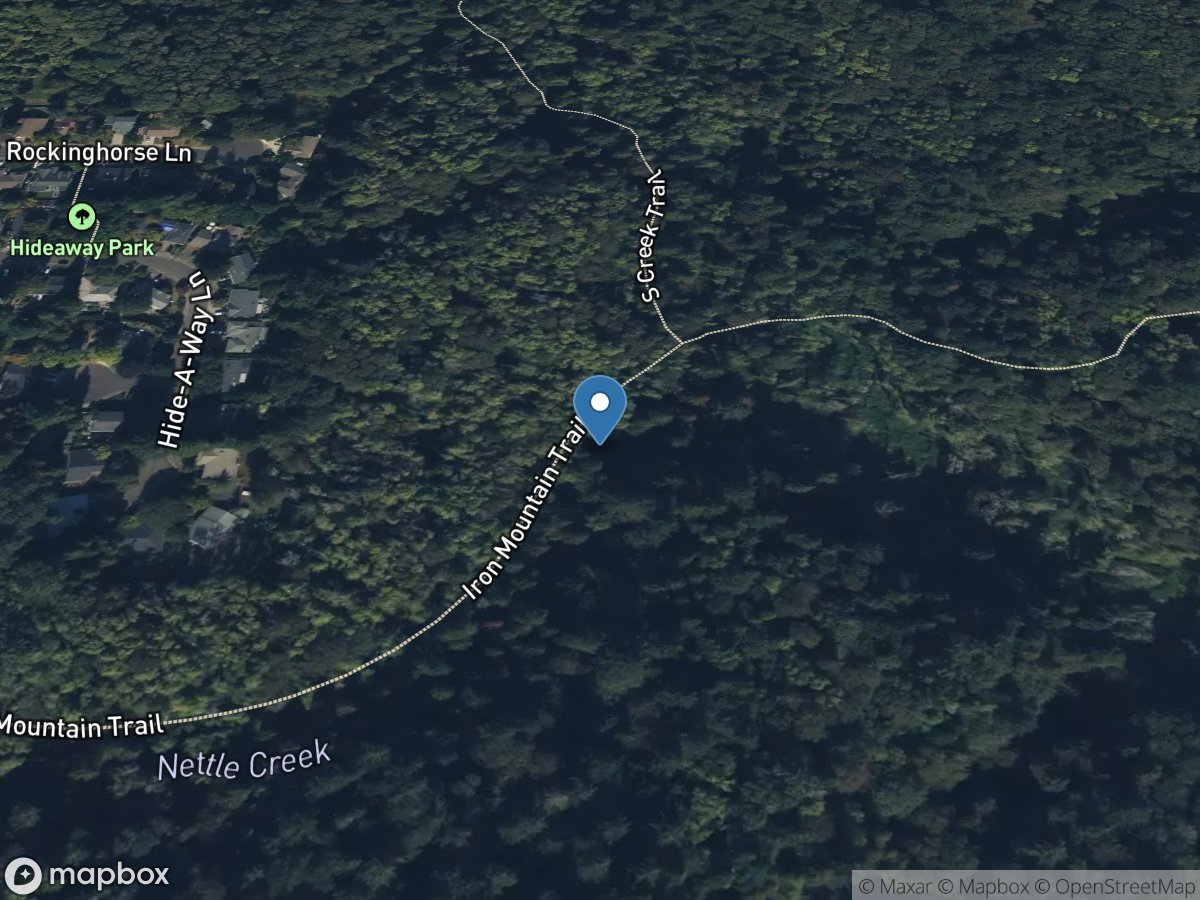
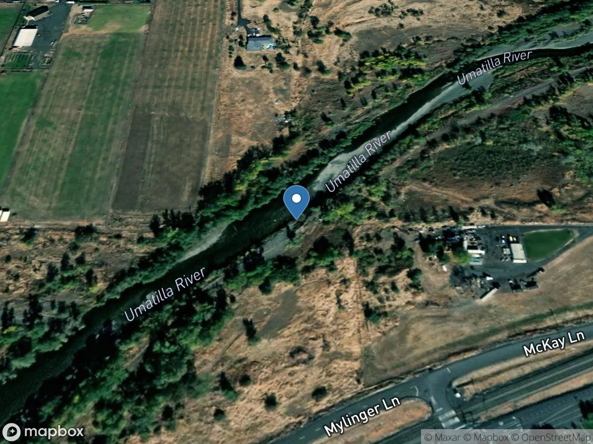
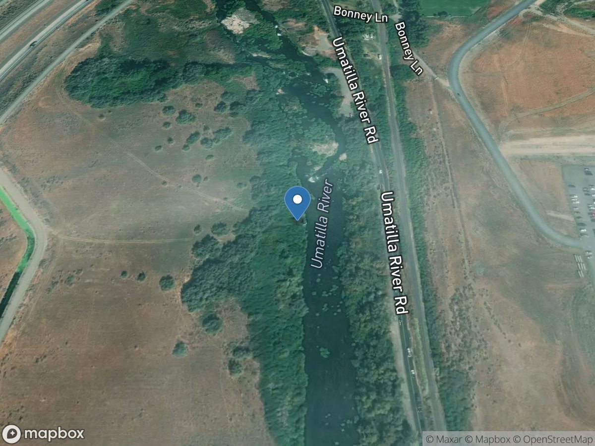
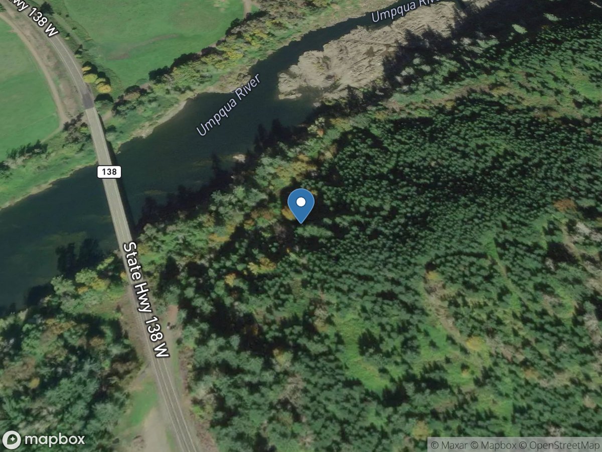
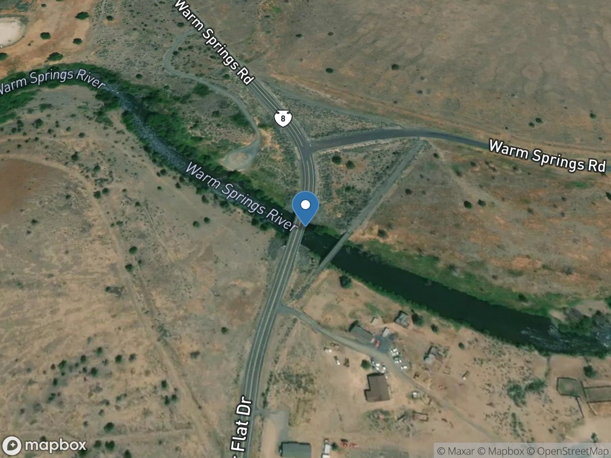
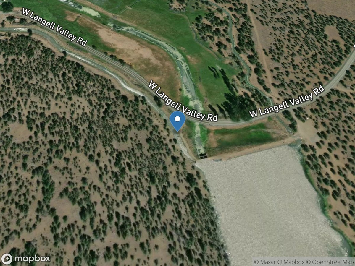
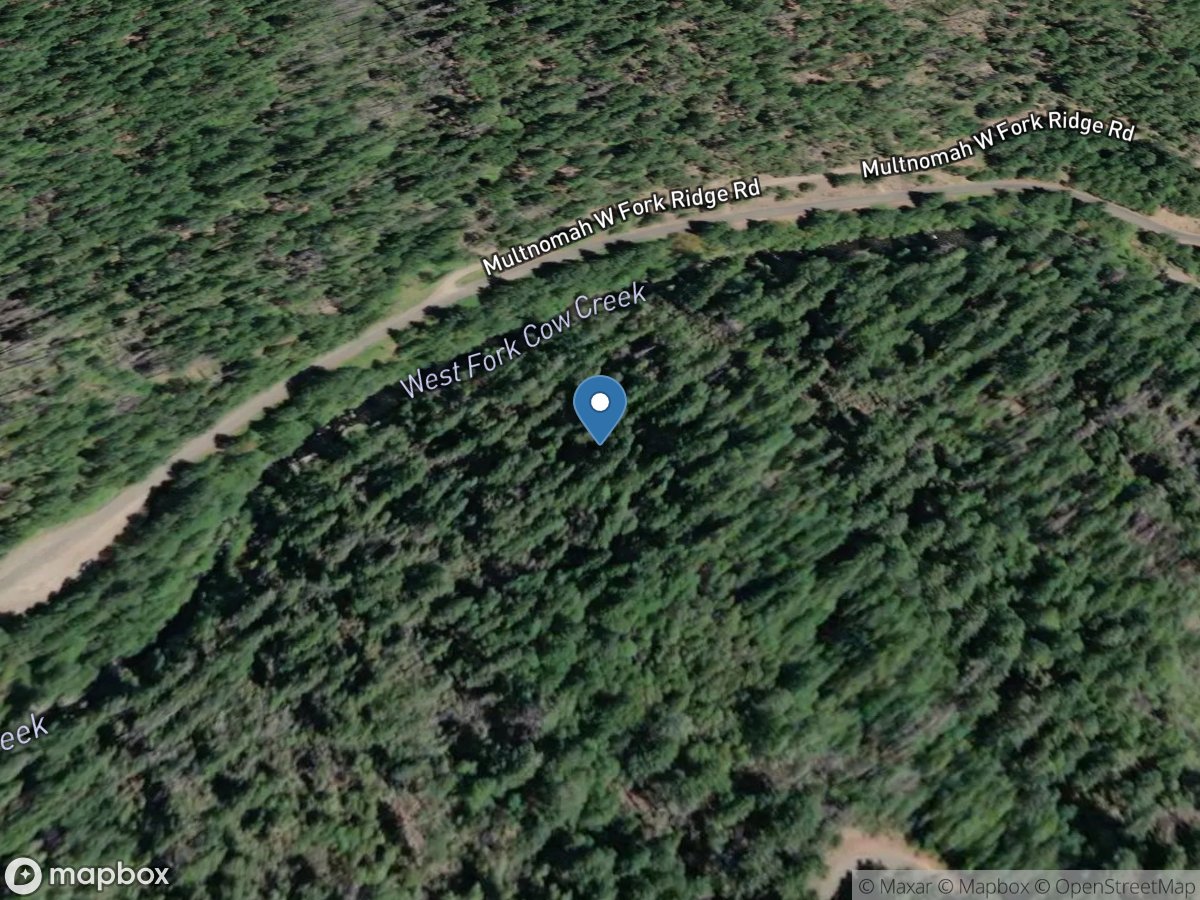
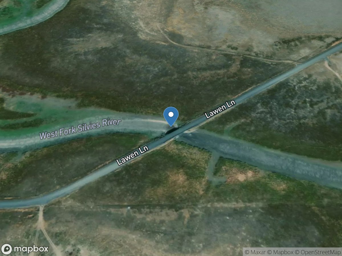
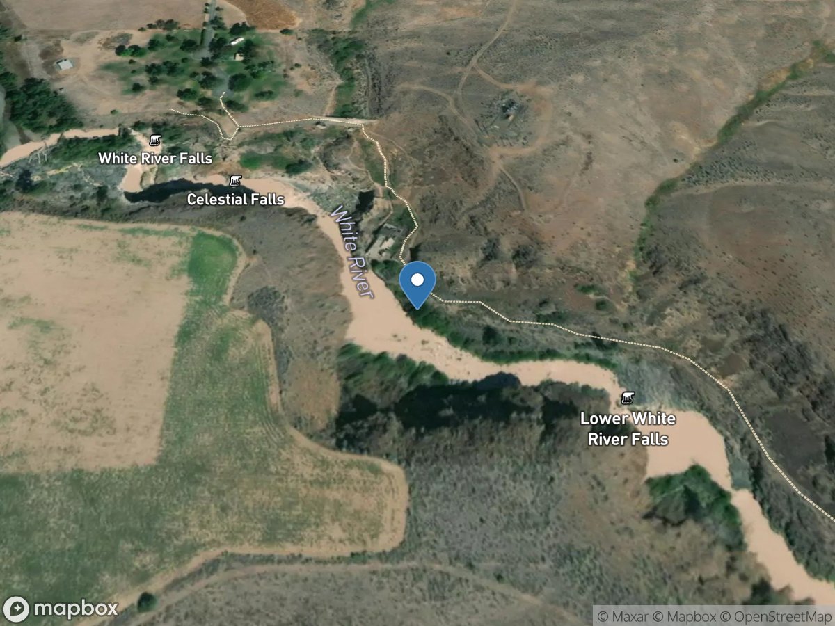
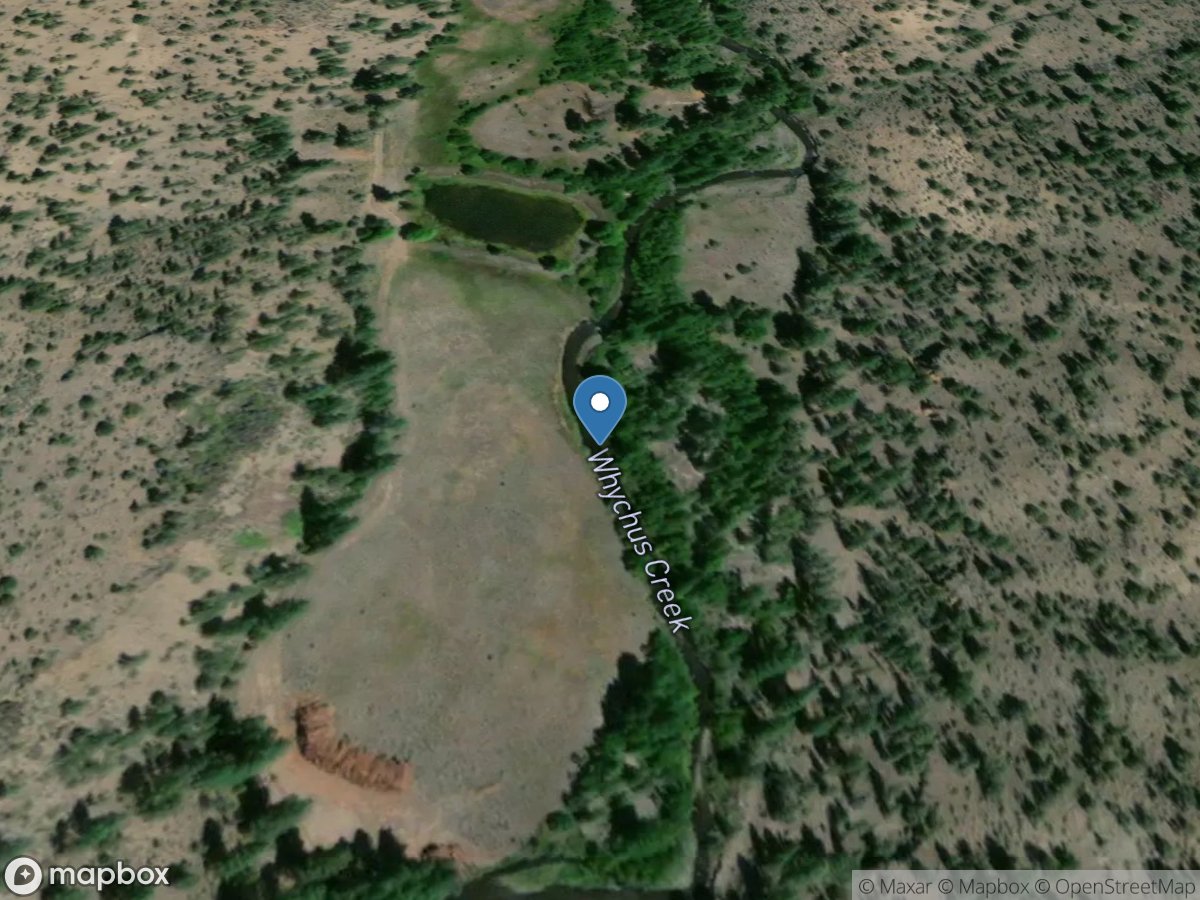
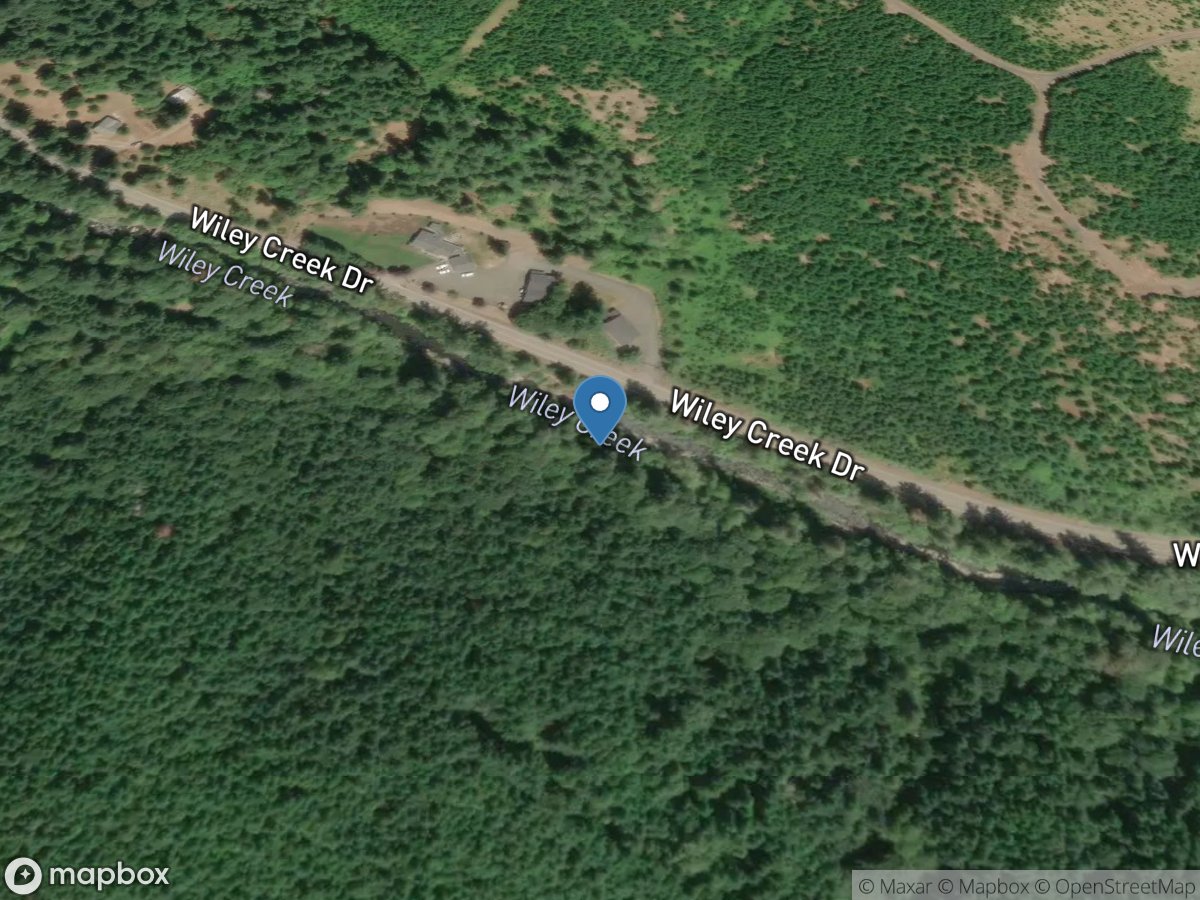
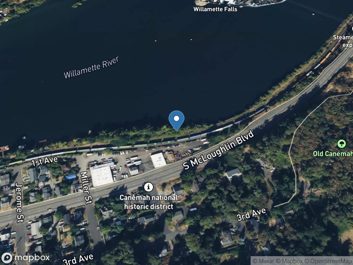
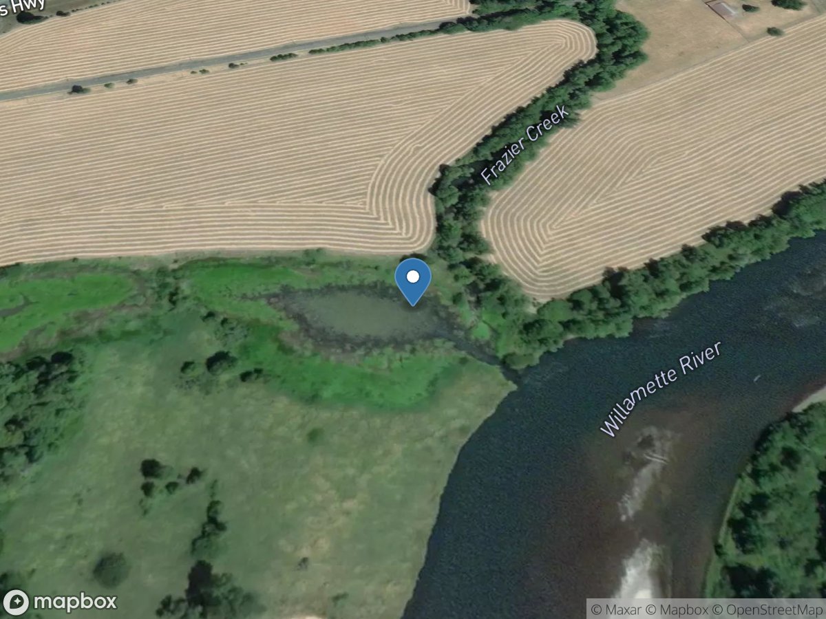
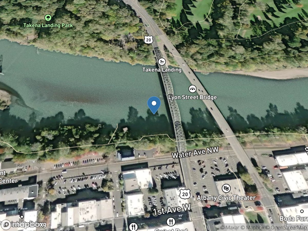
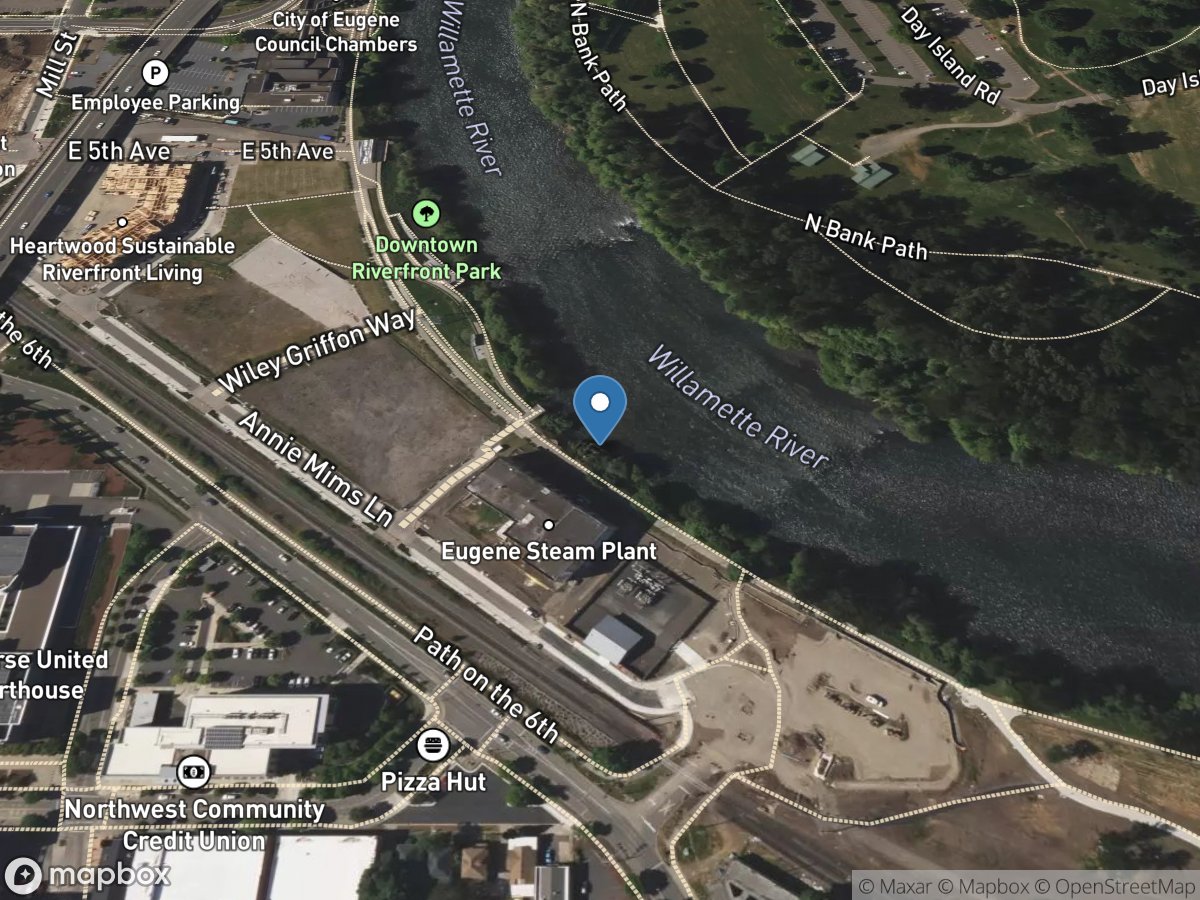
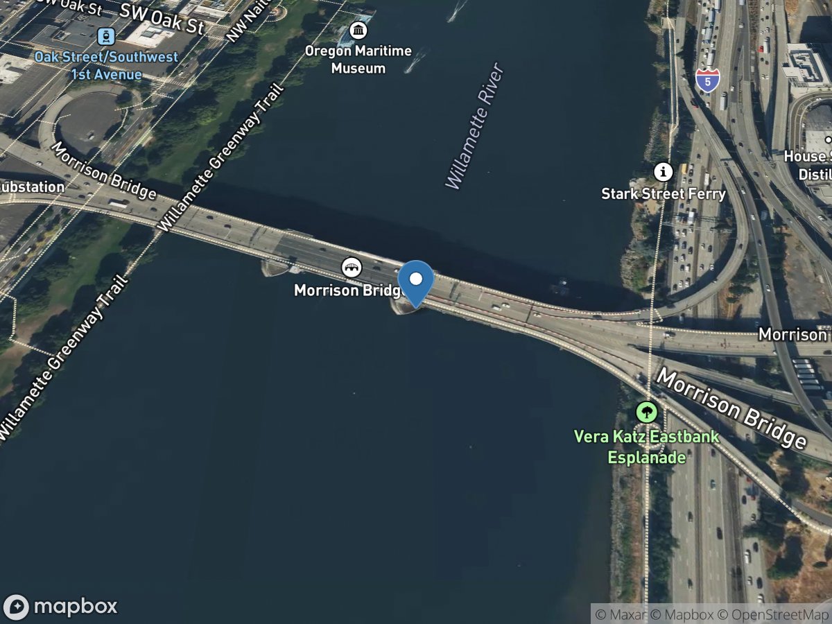
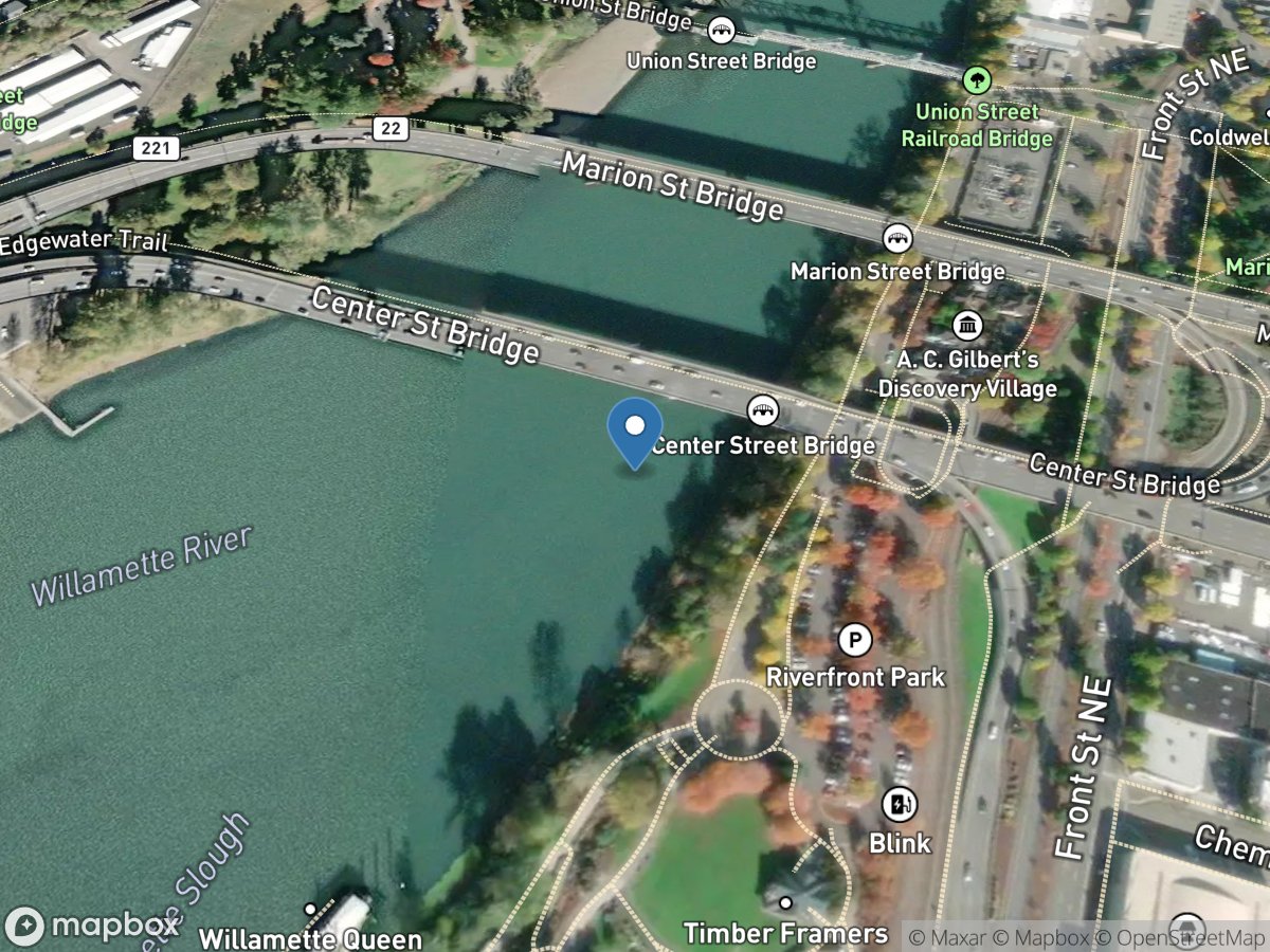
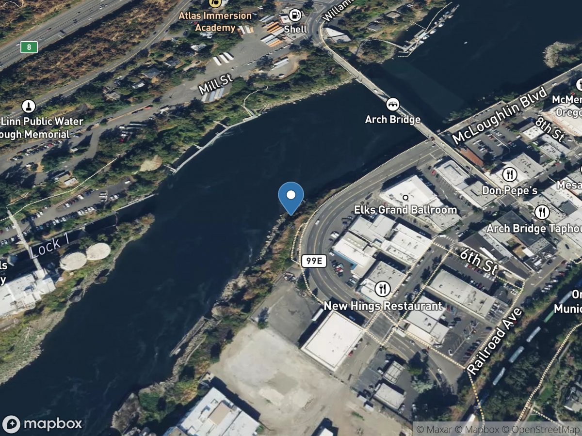
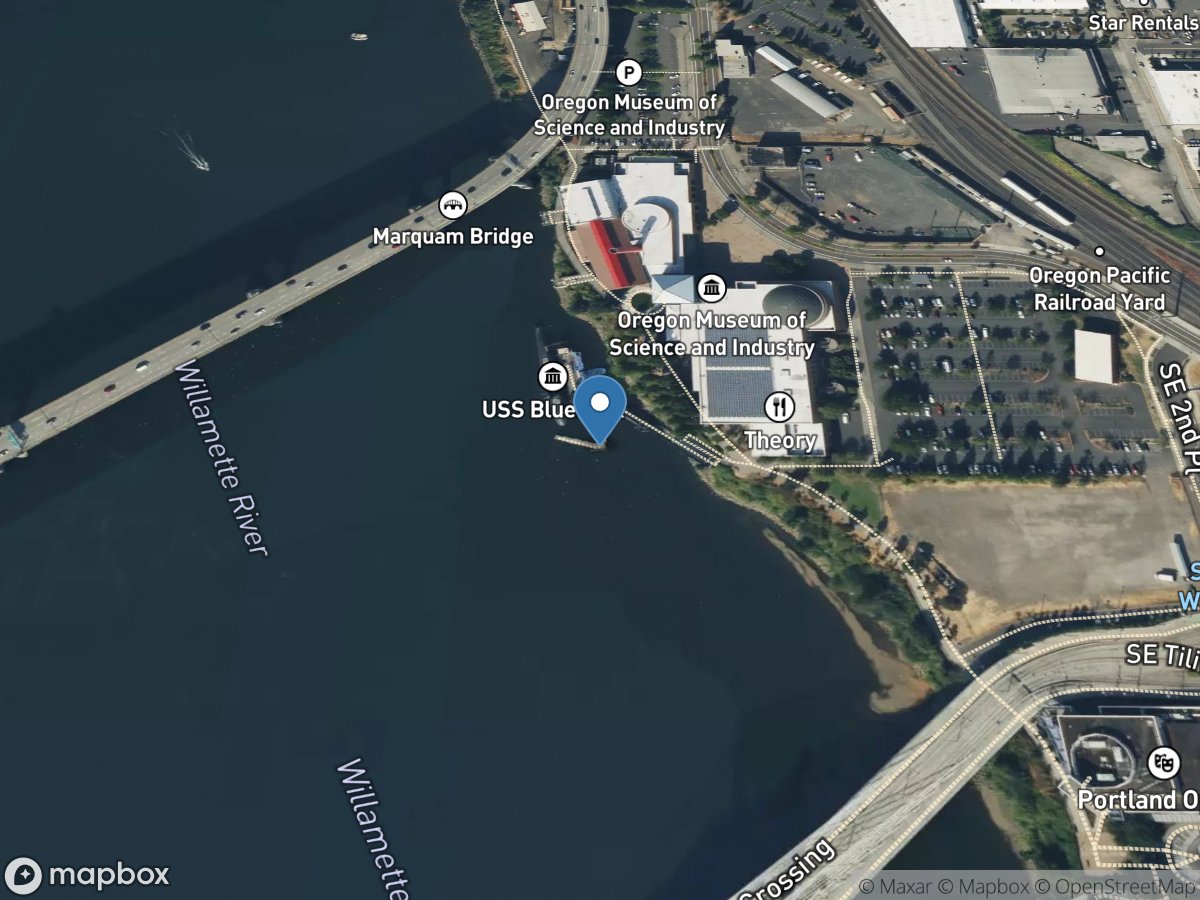
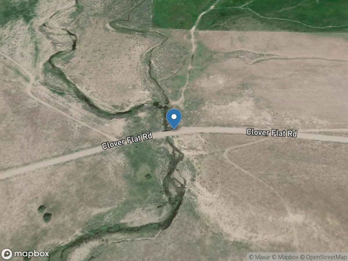
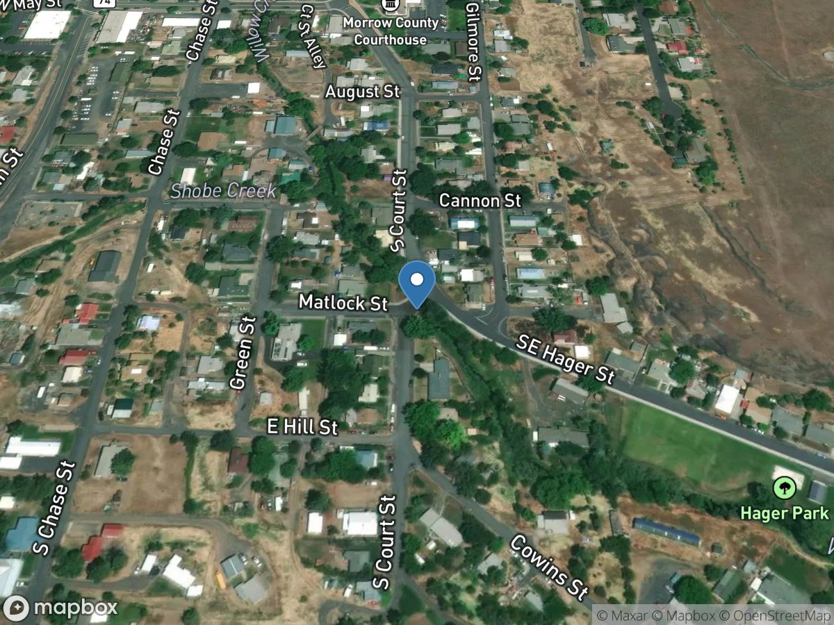
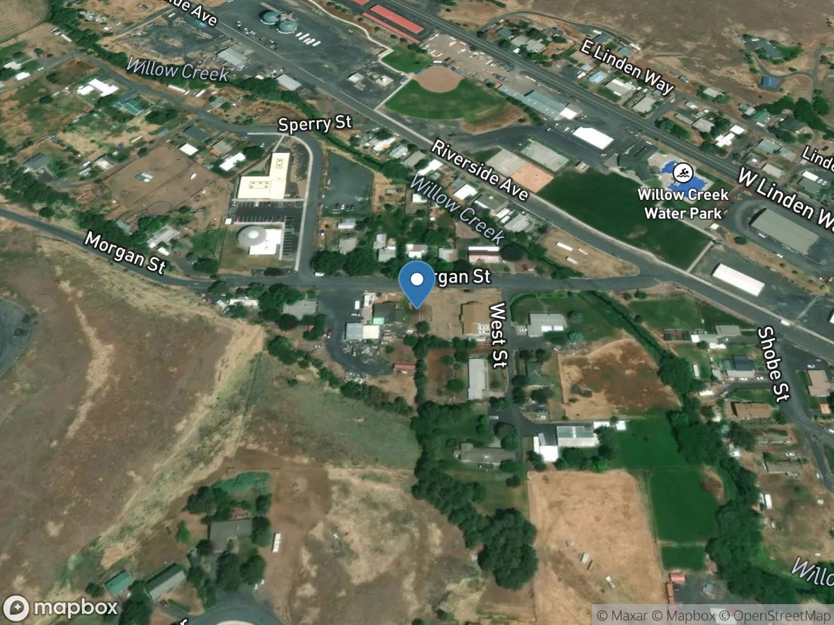
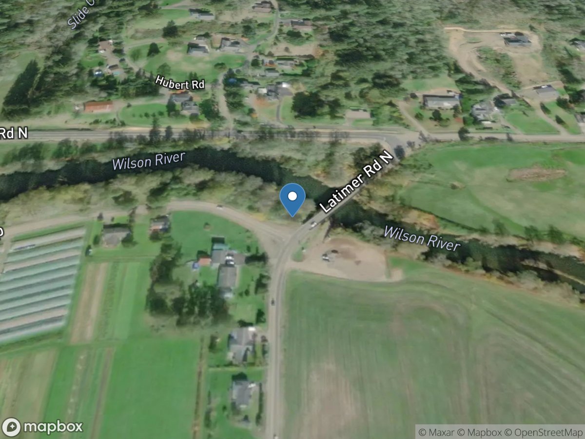
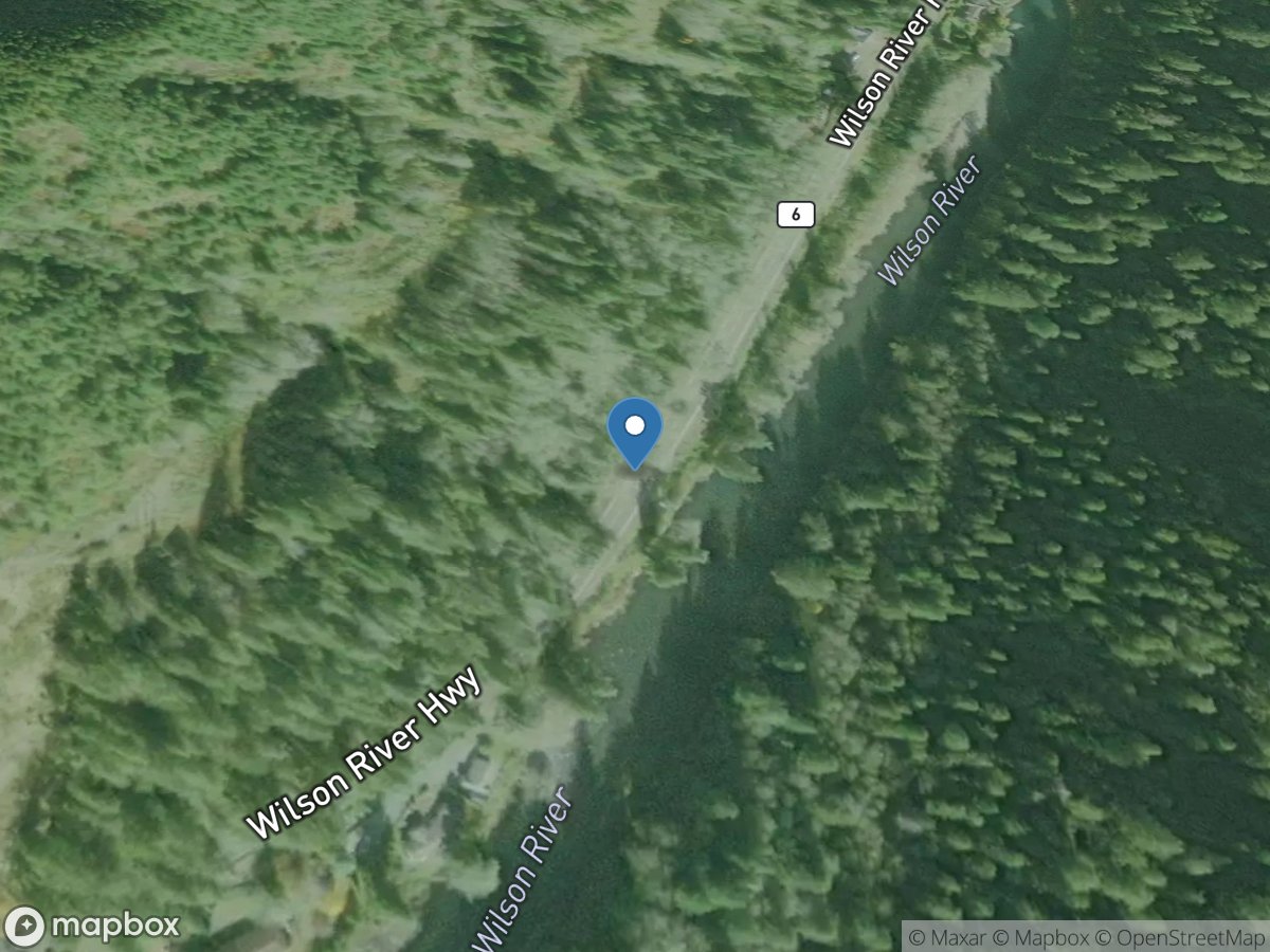
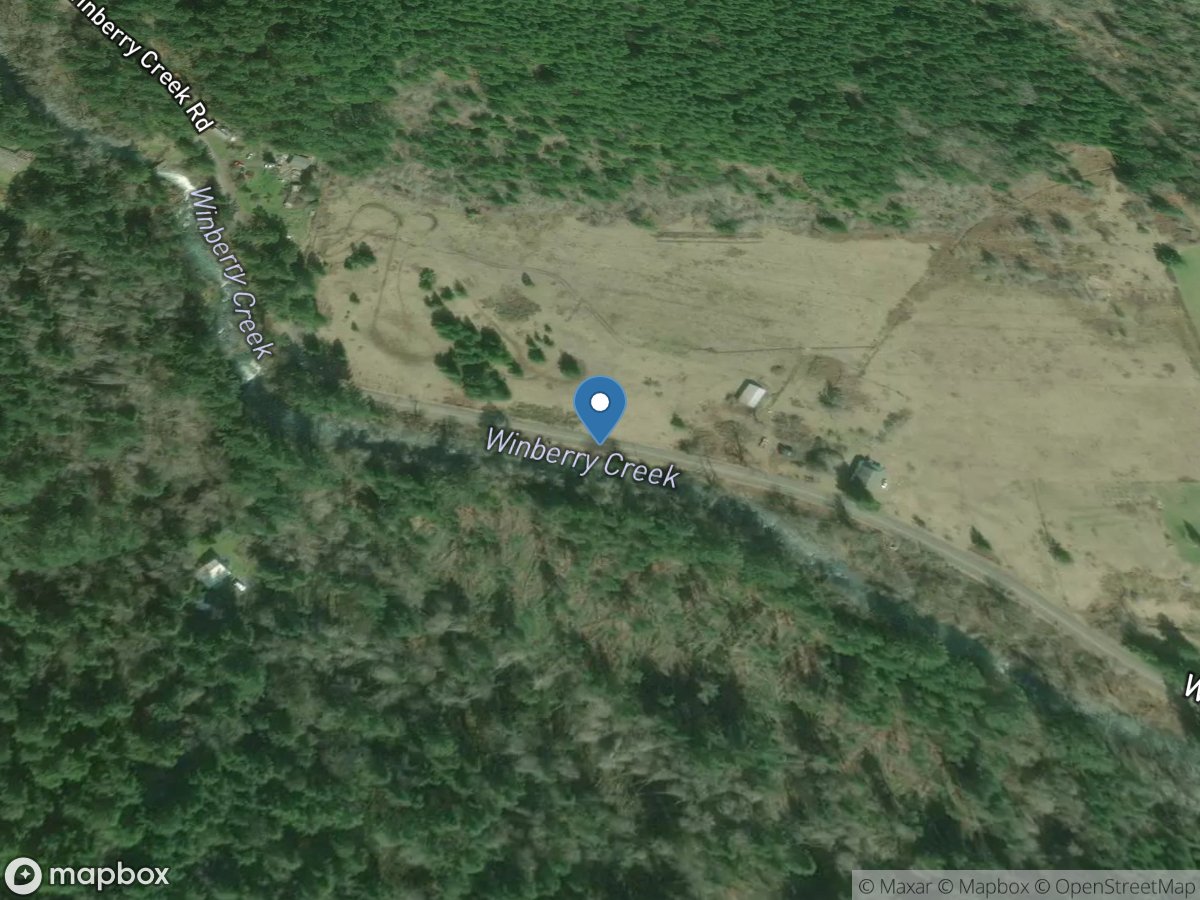
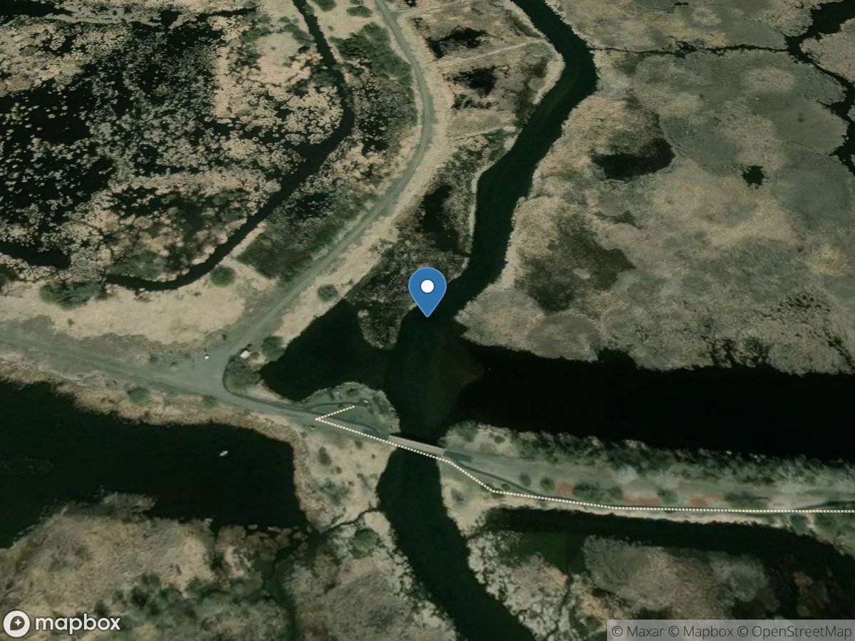
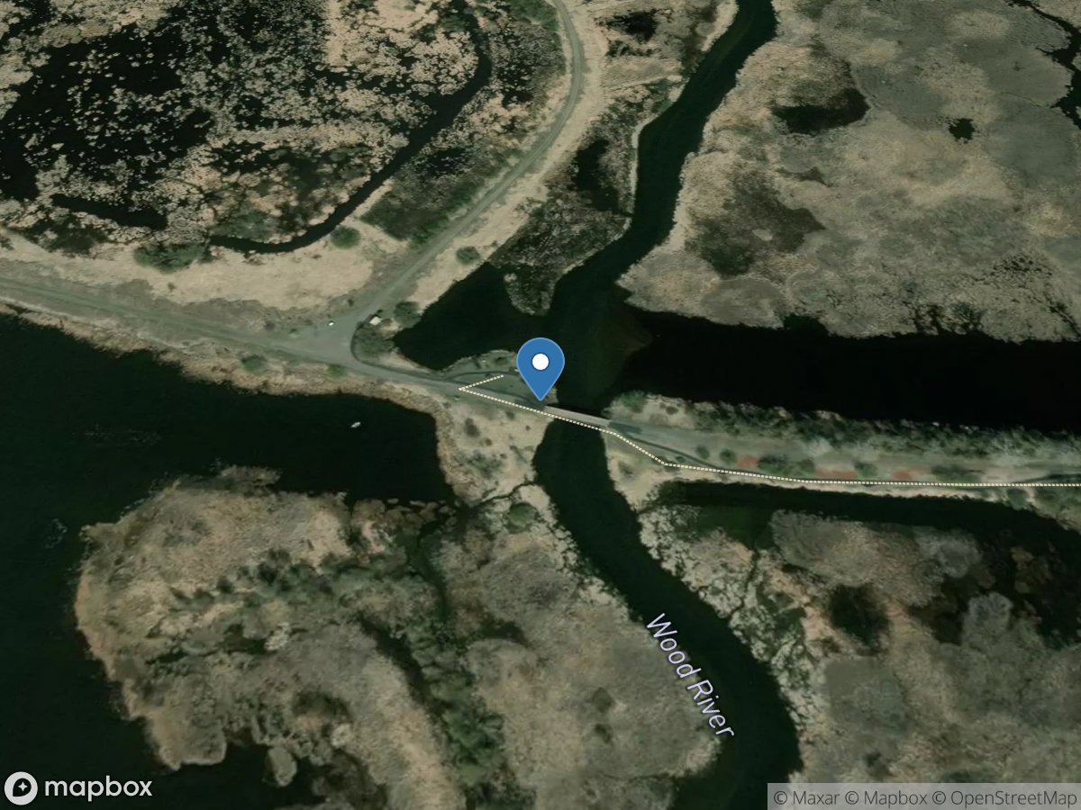
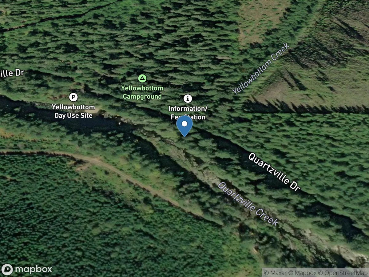
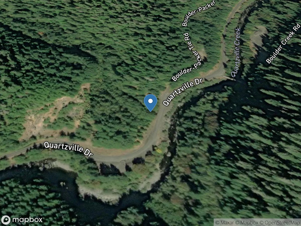
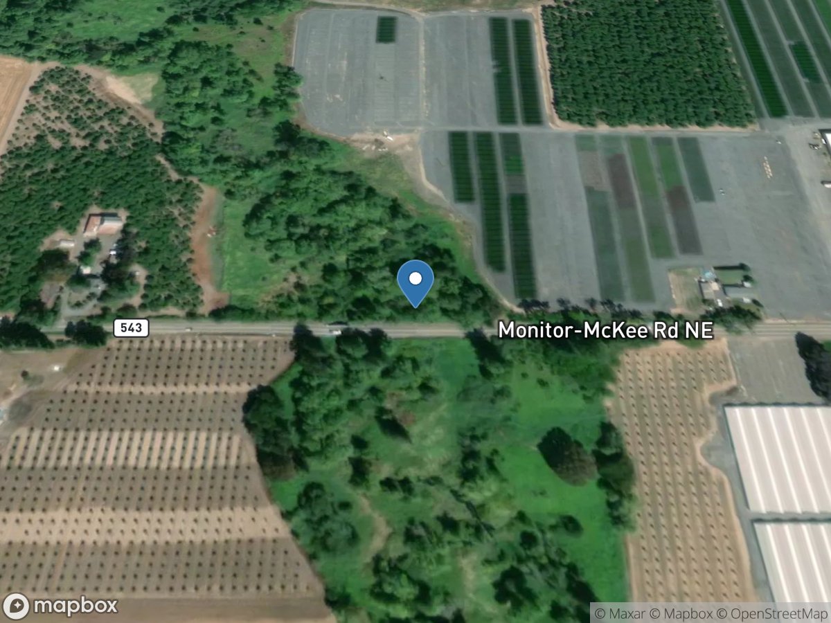
Map view
Oregon gauge network
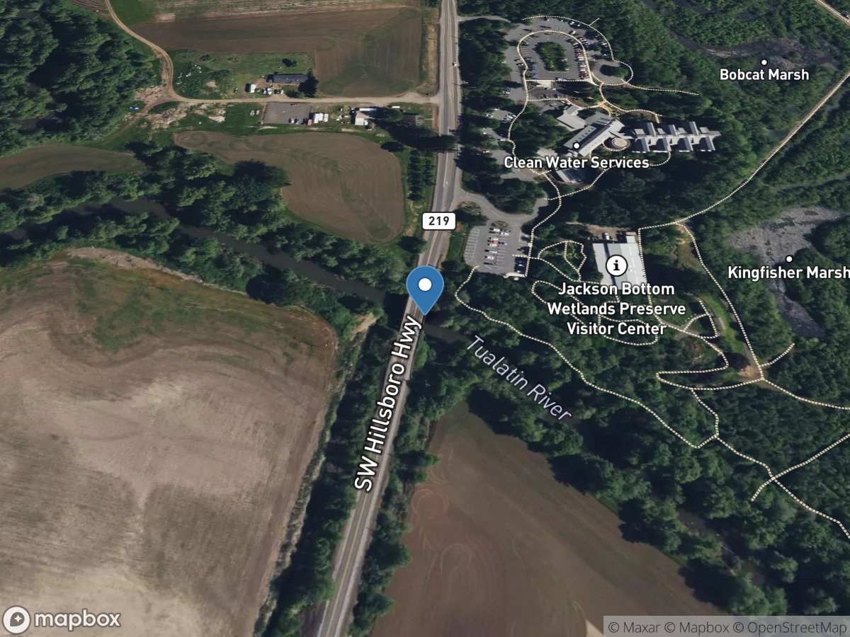
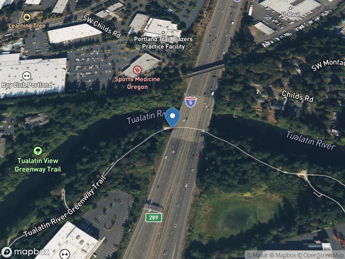
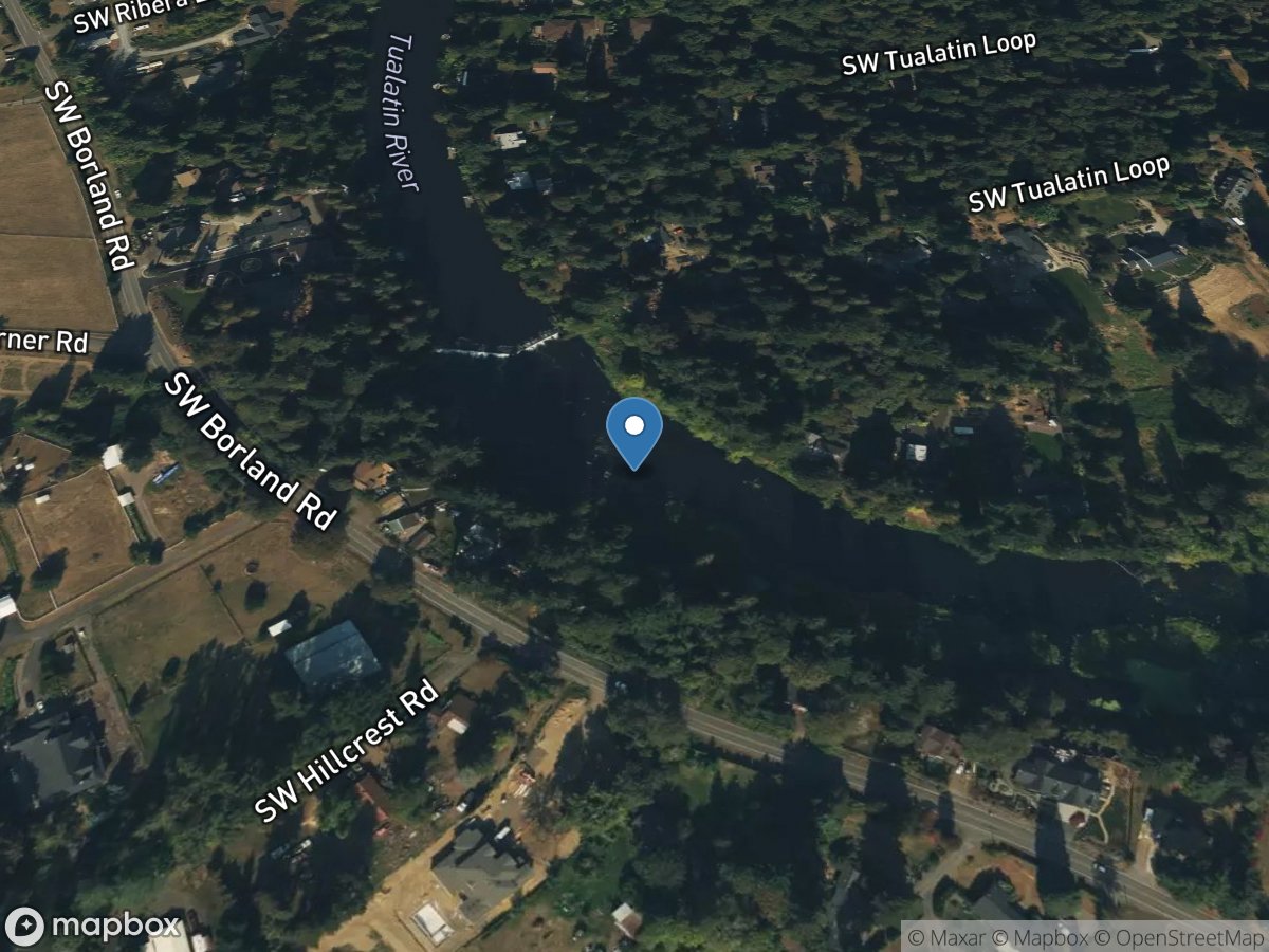
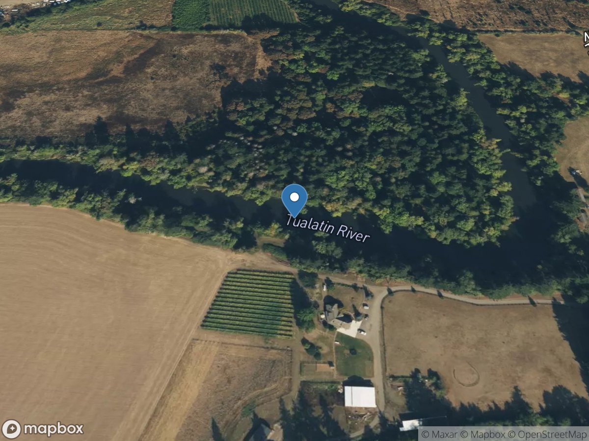
Open a station for its latest available readings and source details.
USGS Gauges
Rivers & Streams
Directory results
Gauge stations
Search the loaded station list or select a marker on the map.
Site: 440317122574900
USGS Gauge
Site: 440325122563600
USGS Gauge
Site: 440314122541500
USGS Gauge
Site: 11507200
USGS Gauge
Site: 14200700
USGS Gauge
Site: 14200500
USGS Gauge
Site: 11509250
USGS Gauge
Site: 11509200
USGS Gauge
Site: 14306500
USGS Gauge
Site: 14366000
USGS Gauge
Site: 14362000
USGS Gauge
Site: 14369500
USGS Gauge
Site: 420134121444800
USGS Gauge
Site: 420218121455900
USGS Gauge
Site: 420029121461700
USGS Gauge
Site: 420028121461700
USGS Gauge
Site: 420014121493200
USGS Gauge
Site: 420219121465200
USGS Gauge
Site: 452737122231400
USGS Gauge
Site: 452710122224800
USGS Gauge
Site: 14034480
USGS Gauge
Site: 14357500
USGS Gauge
Site: 14354200
USGS Gauge
Site: 14142800
USGS Gauge
Site: 14096850
USGS Gauge
Site: 453004122510301
USGS Gauge
Site: 14337500
USGS Gauge
Site: 14181410
USGS Gauge
Site: 14306032
USGS Gauge
Site: 14138800
USGS Gauge
Site: 14180300
USGS Gauge
Site: 14162200
USGS Gauge
Site: 14161100
USGS Gauge
Site: 443404122240500
USGS Gauge
Site: 14316495
USGS Gauge
Site: 14179000
USGS Gauge
Site: 14178610
USGS Gauge
Site: 14046778
USGS Gauge
Site: 14070900
USGS Gauge
Site: 453320122483701
USGS Gauge
Site: 453304122491300
USGS Gauge
Site: 453303122491300
USGS Gauge
Site: 453303122491400
USGS Gauge
Site: 453302122491300
USGS Gauge
Site: 453301122491600
USGS Gauge
Site: 14198400
USGS Gauge
Site: 14140020
USGS Gauge
Site: 14138720
USGS Gauge
Site: 14139940
USGS Gauge
Site: 14140000
USGS Gauge
Site: 14140001
USGS Gauge
Site: 14138850
USGS Gauge
Site: 14201500
USGS Gauge
Site: 14173500
USGS Gauge
Site: 14164550
USGS Gauge
Site: 443531122203900
USGS Gauge
Site: 14164700
USGS Gauge
Site: 14400000
USGS Gauge
Site: 423229120175100
USGS Gauge
Site: 10387110
USGS Gauge
Site: 423126120145400
USGS Gauge
Site: 10386000
USGS Gauge
Site: 14206752
USGS Gauge
Site: 452230122512201
USGS Gauge
Site: 14209500
USGS Gauge
Site: 14208000
USGS Gauge
Site: 14209710
USGS Gauge
Site: 14210000
USGS Gauge
Site: 14211010
USGS Gauge
Site: 14210750
USGS Gauge
Site: 14314400
USGS Gauge
Site: 14314600
USGS Gauge
Site: 14314500
USGS Gauge
Site: 14314700
USGS Gauge
Site: 14152500
USGS Gauge
Site: 14153500
USGS Gauge
Site: 14157500
USGS Gauge
Site: 14208300
USGS Gauge
Site: 14113290
USGS Gauge
Site: 14019200
USGS Gauge
Site: 14246900
USGS Gauge
Site: 14105700
USGS Gauge
Site: 14128870
USGS Gauge
Site: 453630122021400
USGS Gauge
Site: 14211820
USGS Gauge
Site: 14327055
USGS Gauge
Site: 14159410
USGS Gauge
Site: 14308990
USGS Gauge
Site: 14309000
USGS Gauge
Site: 14310000
USGS Gauge
Site: 14188750
USGS Gauge
Site: 422014120160900
USGS Gauge
Site: 422903120172400
USGS Gauge
Site: 422309120182500
USGS Gauge
Site: 422828120165500
USGS Gauge
Site: 442013120553700
USGS Gauge
Site: 441712120503800
USGS Gauge
Site: 442206121081900
USGS Gauge
Site: 14087400
USGS Gauge
Site: 14087380
USGS Gauge
Site: 11504270
USGS Gauge
Site: 14211542
USGS Gauge
Site: 452547122465900
USGS Gauge
Site: 452538122471600
USGS Gauge
Site: 452533122472600
USGS Gauge
Site: 14064500
USGS Gauge
Site: 14103000
USGS Gauge
Site: 14102000
USGS Gauge
Site: 14056500
USGS Gauge
Site: 14076500
USGS Gauge
Site: 14092500
USGS Gauge
Site: 14180510
USGS Gauge
Site: 14178470
USGS Gauge
Site: 14178500
USGS Gauge
Site: 14149510
USGS Gauge
Site: 14070621
USGS Gauge
Site: 431500118512800
USGS Gauge
Site: 423815118453900
USGS Gauge
Site: 424833118521200
USGS Gauge
Site: 431258118523900
USGS Gauge
Site: 430242118502100
USGS Gauge
Site: 425818118520500
USGS Gauge
Site: 430506118505600
USGS Gauge
Site: 431605118510600
USGS Gauge
Site: 10396000
USGS Gauge
Site: 14200100
USGS Gauge
Site: 14353500
USGS Gauge
Site: 14306340
USGS Gauge
Site: 13325000
USGS Gauge
Site: 14205350
USGS Gauge
Site: 14322810
USGS Gauge
Site: 14308500
USGS Gauge
Site: 14338000
USGS Gauge
Site: 14211814
USGS Gauge
Site: 14150290
USGS Gauge
Site: 14150250
USGS Gauge
Site: 14151000
USGS Gauge
Site: 14206900
USGS Gauge
Site: 14206950
USGS Gauge
Site: 452715122474500
USGS Gauge
Site: 452704122474200
USGS Gauge
Site: 452711122474100
USGS Gauge
Site: 452726122474500
USGS Gauge
Site: 452726122474600
USGS Gauge
Site: 452723122474700
USGS Gauge
Site: 452723122474600
USGS Gauge
Site: 452722122474600
USGS Gauge
Site: 452721122474800
USGS Gauge
Site: 452722122474800
USGS Gauge
Site: 14138870
USGS Gauge
Site: 14315950
USGS Gauge
Site: 14209700
USGS Gauge
Site: 14315900
USGS Gauge
Site: 14186610
USGS Gauge
Site: 443317122252600
USGS Gauge
Site: 11504260
USGS Gauge
Site: 453040123065201
USGS Gauge
Site: 14163000
USGS Gauge
Site: 13333000
USGS Gauge
Site: 14186110
USGS Gauge
Site: 14178620
USGS Gauge
Site: 14144900
USGS Gauge
Site: 14145110
USGS Gauge
Site: 14120000
USGS Gauge
Site: 14159040
USGS Gauge
Site: 14159100
USGS Gauge
Site: 14378200
USGS Gauge
Site: 14377100
USGS Gauge
Site: 423830118453200
USGS Gauge
Site: 11491450
USGS Gauge
Site: 11491470
USGS Gauge
Site: 14036860
USGS Gauge
Site: 14048000
USGS Gauge
Site: 14046500
USGS Gauge
Site: 14038530
USGS Gauge
Site: 452746122220200
USGS Gauge
Site: 452743122365400
USGS Gauge
Site: 14211550
USGS Gauge
Site: 14211400
USGS Gauge
Site: 452737122194200
USGS Gauge
Site: 14211500
USGS Gauge
Site: 452753122233100
USGS Gauge
Site: 14211499
USGS Gauge
Site: 452552122373700
USGS Gauge
Site: 14142580
USGS Gauge
Site: 420741121554001
USGS Gauge
Site: 11509370
USGS Gauge
Site: 11509500
USGS Gauge
Site: 420853121505501
USGS Gauge

Site: 420853121505500
USGS Gauge
Site: 11508700
USGS Gauge
Site: 11510700
USGS Gauge
Site: 11509390
USGS Gauge
Site: 11508600
USGS Gauge
Site: 420448121503100
USGS Gauge
Site: 420450121504500
USGS Gauge
Site: 420219121474500
USGS Gauge
Site: 420451121510000
USGS Gauge
Site: 11509340
USGS Gauge
Site: 14307605
USGS Gauge
Site: 14187600
USGS Gauge
Site: 14312950
USGS Gauge
Site: 14312900
USGS Gauge
Site: 14313600
USGS Gauge
Site: 11507500
USGS Gauge
Site: 11507501
USGS Gauge
Site: 421401121480900
USGS Gauge
Site: 14365400
USGS Gauge
Site: 424003118453700
USGS Gauge
Site: 14181900
USGS Gauge
Site: 445009122212100
USGS Gauge
Site: 14182500
USGS Gauge
Site: 14318000
USGS Gauge
Site: 14141500
USGS Gauge
Site: 14320934
USGS Gauge
Site: 14170000
USGS Gauge
Site: 14169000
USGS Gauge
Site: 14166500
USGS Gauge
Site: 441344122095400
USGS Gauge
Site: 14161500
USGS Gauge
Site: 14149010
USGS Gauge
Site: 14158977
USGS Gauge
Site: 421010121271200
USGS Gauge
Site: 11485000
USGS Gauge
Site: 415954121312100
USGS Gauge
Site: 420833121402000
USGS Gauge
Site: 420535121143800
USGS Gauge
Site: 421015121471800
USGS Gauge
Site: 420037121334100
USGS Gauge
Site: 420036121333700
USGS Gauge
Site: 14190610
USGS Gauge
Site: 444650123134500
USGS Gauge
Site: 14190500
USGS Gauge
Site: 14070615
USGS Gauge
Site: 14070624
USGS Gauge

Site: 13233300
USGS Gauge
Site: 14170350
USGS Gauge
Site: 14171000
USGS Gauge
Site: 442709120443200
USGS Gauge
Site: 453248122580600
USGS Gauge
Site: 453248122582100
USGS Gauge
Site: 14164900
USGS Gauge
Site: 14159110
USGS Gauge
Site: 14165250
USGS Gauge
Site: 14158500
USGS Gauge
Site: 14163150
USGS Gauge
Site: 14158740
USGS Gauge
Site: 14158850
USGS Gauge
Site: 14165500
USGS Gauge
Site: 14162500
USGS Gauge
Site: 14163900
USGS Gauge
Site: 441400122123000
USGS Gauge
Site: 14020300
USGS Gauge
Site: 14091500
USGS Gauge
Site: 14326300
USGS Gauge
Site: 14043840
USGS Gauge
Site: 14145500
USGS Gauge
Site: 14144790
USGS Gauge
Site: 440139122592000
USGS Gauge
Site: 440131122594500
USGS Gauge
Site: 14149011
USGS Gauge
Site: 14144780
USGS Gauge
Site: 14148000
USGS Gauge
Site: 14044000
USGS Gauge
Site: 14152000
USGS Gauge
Site: 14150000
USGS Gauge
Site: 14144800
USGS Gauge

Site: 14186200
USGS Gauge
Site: 443056122221700
USGS Gauge
Site: 14185800
USGS Gauge
Site: 14185600
USGS Gauge
Site: 14012990
USGS Gauge
Site: 14178490
USGS Gauge
Site: 11491950
USGS Gauge
Site: 13331500
USGS Gauge
Site: 452736122294900
USGS Gauge
Site: 14165000
USGS Gauge
Site: 14198500
USGS Gauge
Site: 14200000
USGS Gauge
Site: 14113200
USGS Gauge
Site: 14327000
USGS Gauge
Site: 452758122234300
USGS Gauge
Site: 452806122231900
USGS Gauge
Site: 452807122215001
USGS Gauge
Site: 14147500
USGS Gauge
Site: 14181650
USGS Gauge
Site: 14181415
USGS Gauge
Site: 14180520
USGS Gauge

Site: 14316500
USGS Gauge
Site: 14313200
USGS Gauge
Site: 14315700
USGS Gauge
Site: 14316455
USGS Gauge
Site: 14313700
USGS Gauge
Site: 14199704
USGS Gauge
Site: 14300350
USGS Gauge
Site: 14301340
USGS Gauge
Site: 14301000
USGS Gauge
Site: 14299800
USGS Gauge
Site: 14303600
USGS Gauge
Site: 14302900
USGS Gauge
Site: 14147200
USGS Gauge
Site: 14162050
USGS Gauge
Site: 14178000
USGS Gauge
Site: 11509105
USGS Gauge
Site: 14138900
USGS Gauge
Site: 14046000
USGS Gauge
Site: 444516122243900
USGS Gauge
Site: 14184100
USGS Gauge
Site: 14183000
USGS Gauge
Site: 14181500
USGS Gauge
Site: 14183020
USGS Gauge
Site: 14174450
USGS Gauge
Site: 14316460
USGS Gauge
Site: 14315500
USGS Gauge
Site: 14319500
USGS Gauge
Site: 14317450
USGS Gauge
Site: 14209000
USGS Gauge
Site: 14209250
USGS Gauge
Site: 14208700
USGS Gauge
Site: 441922120530100
USGS Gauge
Site: 13183000
USGS Gauge
Site: 13181000
USGS Gauge
Site: 443226122260700
USGS Gauge
Site: 14202000
USGS Gauge
Site: 14201340
USGS Gauge
Site: 443016122095400
USGS Gauge

Site: 14162440
USGS Gauge
Site: 14162450
USGS Gauge
Site: 14185865
USGS Gauge
Site: 14185900
USGS Gauge
Site: 14178440
USGS Gauge
Site: 14206339
USGS Gauge
Site: 453030122560101
USGS Gauge
Site: 14206340
USGS Gauge
Site: 142063391
USGS Gauge
Site: 14317600
USGS Gauge
Site: 14328000
USGS Gauge
Site: 14335072
USGS Gauge
Site: 14339000
USGS Gauge
Site: 14361500
USGS Gauge
Site: 14359000
USGS Gauge
Site: 14330000
USGS Gauge
Site: 14372300
USGS Gauge
Site: 14337600
USGS Gauge
Site: 14154500
USGS Gauge
Site: 14155500
USGS Gauge
Site: 440059123012400
USGS Gauge
Site: 14187300
USGS Gauge
Site: 14308910
USGS Gauge
Site: 420007121464200
USGS Gauge
Site: 11492550
USGS Gauge
Site: 14142500
USGS Gauge
Site: 14137000
USGS Gauge
Site: 14189000
USGS Gauge
Site: 14189050
USGS Gauge
Site: 14181350
USGS Gauge
Site: 14188610
USGS Gauge
Site: 14202980
USGS Gauge
Site: 452731123092100
USGS Gauge
Site: 11493100
USGS Gauge
Site: 11504290
USGS Gauge
Site: 14178430
USGS Gauge
Site: 14326510
USGS Gauge
Site: 14078250
USGS Gauge
Site: 14078260
USGS Gauge
Site: 14039320
USGS Gauge
Site: 14159130
USGS Gauge
Site: 14093000
USGS Gauge
Site: 14092750
USGS Gauge
Site: 14305500
USGS Gauge
Site: 14305800
USGS Gauge
Site: 14306950
USGS Gauge
Site: 14307620
USGS Gauge
Site: 14327150
USGS Gauge
Site: 14178480
USGS Gauge
Site: 14315650
USGS Gauge
Site: 14158790
USGS Gauge
Site: 14158798
USGS Gauge
Site: 13290450
USGS Gauge
Site: 13290460
USGS Gauge
Site: 14159200
USGS Gauge
Site: 14316350
USGS Gauge
Site: 14139800
USGS Gauge
Site: 14325000
USGS Gauge
Site: 14078240
USGS Gauge
Site: 13215480
USGS Gauge
Site: 14159500
USGS Gauge
Site: 425047123225600
USGS Gauge
Site: 425055123225600
USGS Gauge
Site: 14332000
USGS Gauge
Site: 14186700
USGS Gauge
Site: 14188570
USGS Gauge
Site: 14184300
USGS Gauge
Site: 14187500
USGS Gauge
Site: 14185000
USGS Gauge
Site: 14187200
USGS Gauge
Site: 14312330
USGS Gauge
Site: 14308000
USGS Gauge
Site: 14312000
USGS Gauge
Site: 14194150
USGS Gauge
Site: 11501000
USGS Gauge
Site: 453334122511500
USGS Gauge
Site: 453328122514600
USGS Gauge
Site: 14362250
USGS Gauge
Site: 14316700
USGS Gauge
Site: 453322122512200
USGS Gauge
Site: 453319122505000
USGS Gauge
Site: 453320122505700
USGS Gauge
Site: 440136123013700
USGS Gauge
Site: 14375100
USGS Gauge
Site: 452559122472401
USGS Gauge
Site: 452600122471700
USGS Gauge
Site: 452600122471400
USGS Gauge
Site: 452755122234100
USGS Gauge
Site: 452657122244500
USGS Gauge
Site: 14188800
USGS Gauge
Site: 14315300
USGS Gauge
Site: 14302480
USGS Gauge
Site: 452546123492700
USGS Gauge
Site: 14302510
USGS Gauge
Site: 14211315
USGS Gauge
Site: 14206241
USGS Gauge
Site: 452314122450400
USGS Gauge
Site: 14207200
USGS Gauge
Site: 14206694
USGS Gauge
Site: 14207500
USGS Gauge
Site: 14203500
USGS Gauge
Site: 14303200
USGS Gauge
Site: 14020000
USGS Gauge
Site: 14020850
USGS Gauge
Site: 14033500
USGS Gauge
Site: 14321000
USGS Gauge
Site: 14178625
USGS Gauge
Site: 441504122105500
USGS Gauge
Site: 425125123230600
USGS Gauge
Site: 425125123230500
USGS Gauge
Site: 425118123234900
USGS Gauge
Site: 425125123231100
USGS Gauge
Site: 425051123225801
USGS Gauge
Site: 14202630
USGS Gauge
Site: 14202650
USGS Gauge
Site: 14097100
USGS Gauge
Site: 420024121132800
USGS Gauge
Site: 14353000
USGS Gauge
Site: 14309500
USGS Gauge
Site: 432257118500800
USGS Gauge
Site: 14101500
USGS Gauge
Site: 14076300
USGS Gauge
Site: 14187000
USGS Gauge
Site: 14207740
USGS Gauge
Site: 443806123102200
USGS Gauge
Site: 14174000
USGS Gauge

Site: 14171600
USGS Gauge
Site: 14158050
USGS Gauge
Site: 14166000
USGS Gauge
Site: 14192015
USGS Gauge
Site: 14197900
USGS Gauge
Site: 14158100
USGS Gauge
Site: 14211720
USGS Gauge
Site: 14191000
USGS Gauge
Site: 14207770
USGS Gauge
Site: 453027122400000
USGS Gauge
Site: 440143123013300
USGS Gauge
Site: 11502500
USGS Gauge
Site: 11493500
USGS Gauge
Site: 14034470
USGS Gauge
Site: 423047120195100
USGS Gauge
Site: 14034500
USGS Gauge
Site: 14034608
USGS Gauge
Site: 14302020
USGS Gauge
Site: 14301500
USGS Gauge
Site: 14150800
USGS Gauge
Site: 423456121562900
USGS Gauge
Site: 11504115
USGS Gauge
Site: 443517122221800
USGS Gauge
Site: 443348122244400
USGS Gauge
Site: 14201300
USGS Gauge