Gauge Conditions
Data from American Whitewater & USGS
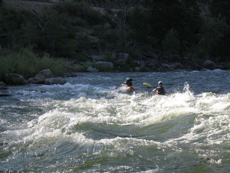
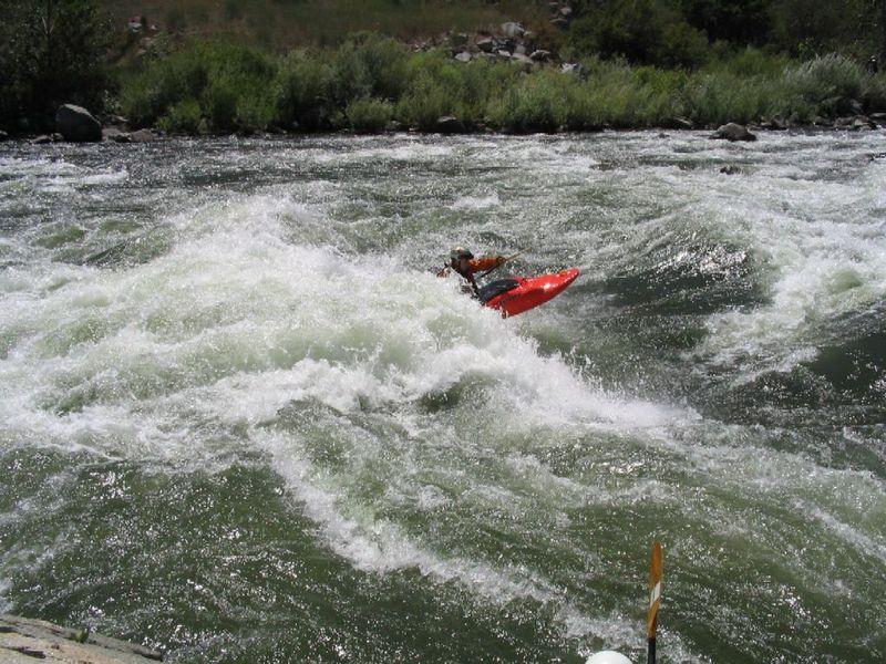
Photo
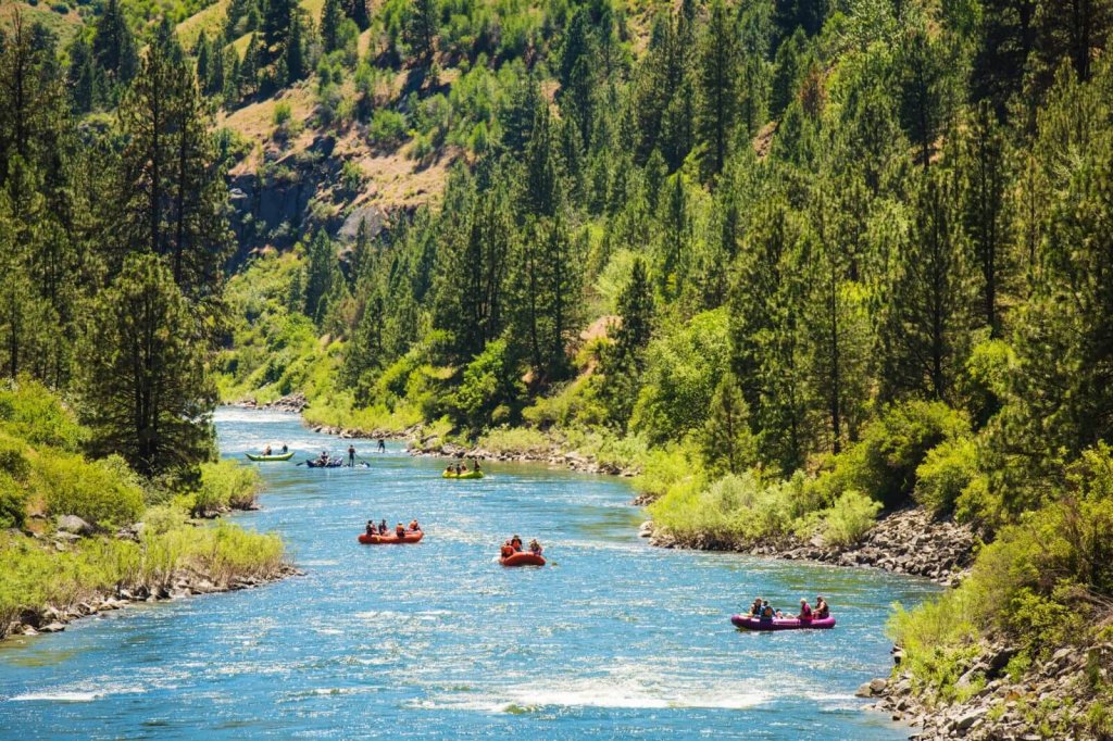
Photo courtesy of American Whitewater
Description
The Horseshoe Dam Boat Ramp Take Out marks the end of the Beehive Bend section, offering a straightforward exit point for paddlers coming off the Payette River. Positioned directly at Highway 55 mile 66.2, this take-out provides easy vehicle access and a clear transition point for boaters completing their downstream run.
Location
View Full Run
2. Beehive Bend to Jet Boat Ramp
Payette
II+(III)
5.5 mi
Current Conditions
5-Day Forecast
Whitewater data from
American Whitewater
American Whitewater