Put-in
AK
Put In
Save this feature with the run it belongs to.
No live gauge linked. This feature record has no verified USGS or CDEC source for current flow. Use the parent run and local sources before making a trip decision.
Photo
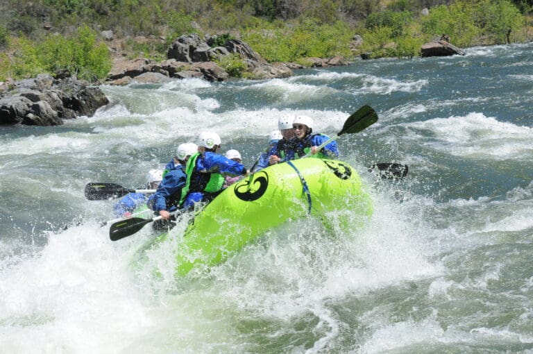
Photo courtesy of American Whitewater
Description
The Put In rapid marks the start of the Fortymile River descent, offering paddlers an immediate introduction to the river's remote and rugged character. While specific details about the rapid's features are limited, boaters should anticipate potential obstacles typical of Alaskan wilderness rivers, such as shifting rocks, shallow sections, and potential log hazards that can complicate navigation.
Location
Other Rapids on This Run (1)
View Full Run
Joseph Airstrip to Taylor Hwy Fortymile Bridge
Fortymile, Middle Fork and North Fork
II(III)
46.0 mi
Current Conditions
5-Day Forecast
Whitewater data from
American Whitewater
American Whitewater