Gauge Conditions
Runnable: ? – ? CFS
Approximate - nearest available gauge. Use as general reference only.
Data from American Whitewater & USGS
Photo
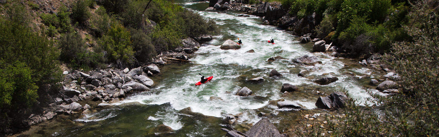
Photo courtesy of American Whitewater
Description
The Put In rapid marks the beginning of the Middle Fork Salmon River run, serving as an initial gauge of the river's character and technical demands. While specific details are limited, paddlers should anticipate an entry point that likely requires careful navigation through potential rock gardens or initial gradient changes typical of this alpine river system.
Location
Other Rapids on This Run (1)
View Full Run
State Highway 21 to Middle Fork Salmon
Marsh Creek
III+
18.8 mi
Current Conditions
5-Day Forecast
Whitewater data from
American Whitewater
American Whitewater