Gauge Conditions
Runnable: ? – ? CFS
Approximate - nearest available gauge. Use as general reference only.
Data from American Whitewater & USGS
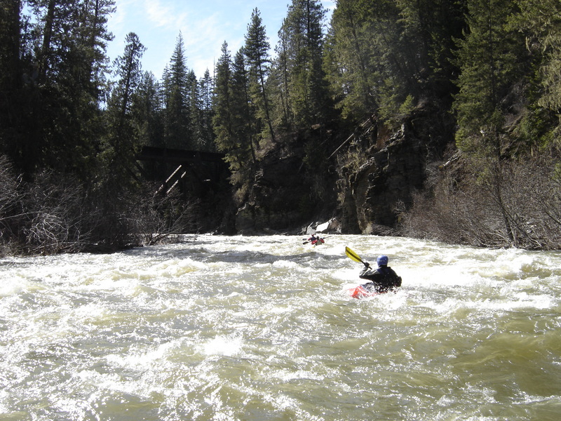
Photo
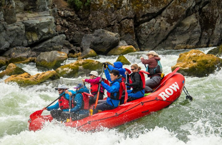
Photo courtesy of American Whitewater
Description
Take Out rapid marks the final challenge before the confluence with the St. Joe River, featuring a complex boulder garden that requires precise maneuvering between partially submerged rocks. Paddlers should be prepared for potential pinning hazards and maintain a sharp line through the scattered obstructions, with the best route typically requiring careful scouting from the bank.
Location
Other Rapids on This Run (1)
View Full Run
Camp 3 to St. Joe Confluence
Marble Creek (Tributary of St. Joe River)
III-IV
13.9 mi
Current Conditions
5-Day Forecast
Whitewater data from
American Whitewater
American Whitewater