Take-out
AK
Take Out
Save this feature with the run it belongs to.
Gauge Conditions
Runnable: ? – ? CFS
Approximate - nearest available gauge. Use as general reference only.
Data from American Whitewater & USGS
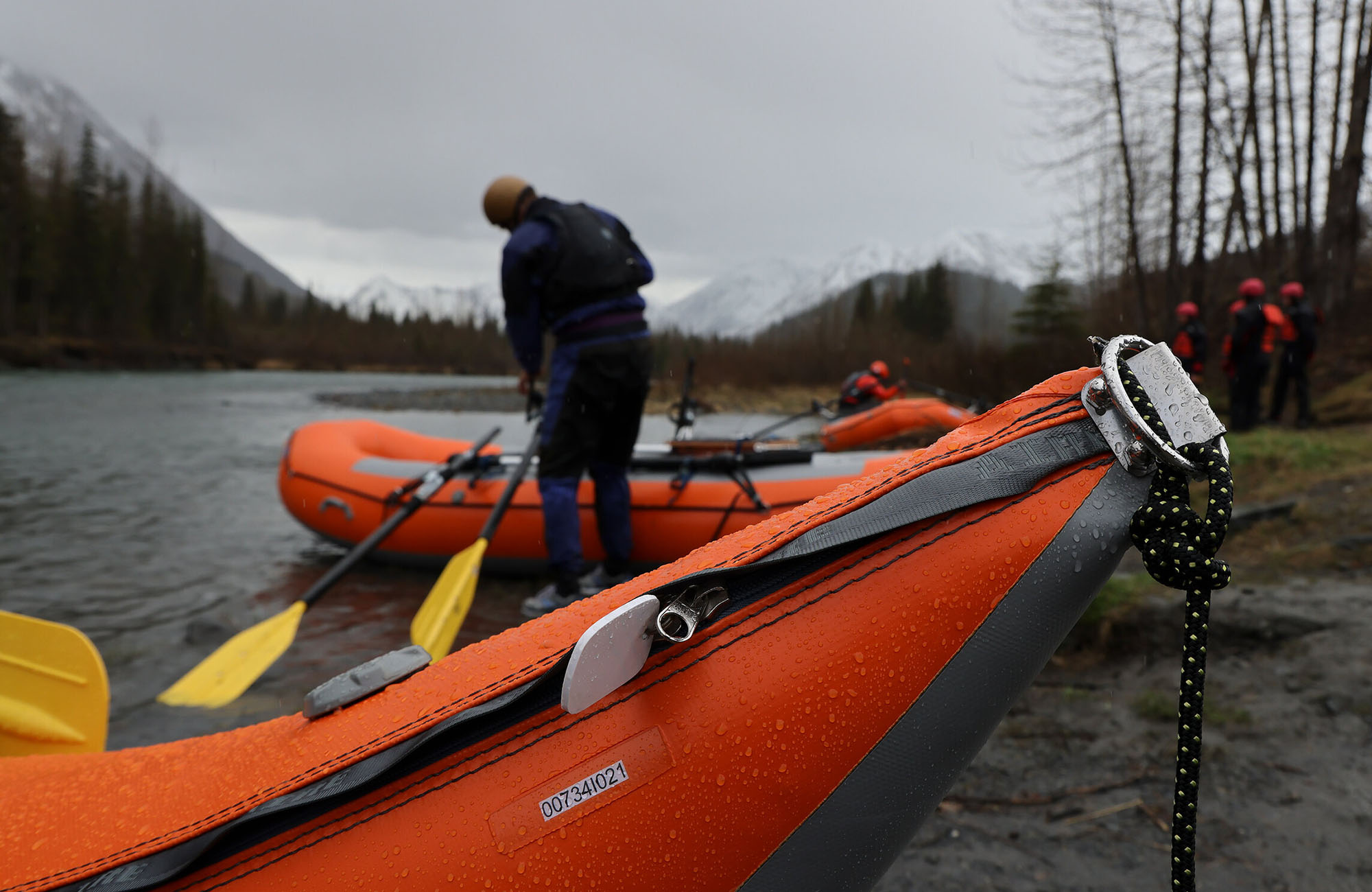
Photo

Photo courtesy of American Whitewater
Description
Take Out rapid on Coal Creek features a straightforward descent with minimal technical challenges, but paddlers should be aware of potential debris and shallow rocky sections near the river's exit point. The rapid serves primarily as a transition zone between the upper Glacier section and the Matanuska River confluence, requiring careful navigation to avoid potential strainers or unseen underwater obstacles.
Location
Other Rapids on This Run (1)
View Full Run
Glacier to Matanuska River
Coal Creek
IV
12.3 mi
Current Conditions
5-Day Forecast
Whitewater data from
American Whitewater
American Whitewater