Gauge Conditions
Data from American Whitewater & USGS
Photo
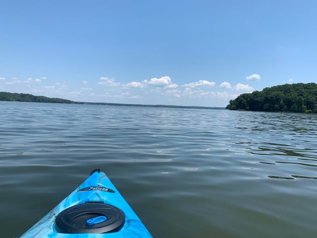
Photo courtesy of American Whitewater
Description
Take Out is a nondescript rapid at the end of this Pohick Creek run, marking the conclusion of the paddling section near the Lorton P.O. with minimal distinguishing features. Due to limited water information and the lack of a specific difficulty rating, paddlers should scout and assess conditions carefully before attempting this segment. The rapid's primary significance is its role as the take-out point, signaling the end of the river trip.
Location
Other Rapids on This Run (1)

View Full Run
Hooes Rd. (Route 636) to Lorton P.O. (Route 1)
Pohick Creek
II-III+
5.6 mi
Current Conditions
5-Day Forecast
Whitewater data from
American Whitewater
American Whitewater