Take-out
AK
Take Out
Save this feature with the run it belongs to.
No live gauge linked. This feature record has no verified USGS or CDEC source for current flow. Use the parent run and local sources before making a trip decision.
Photo
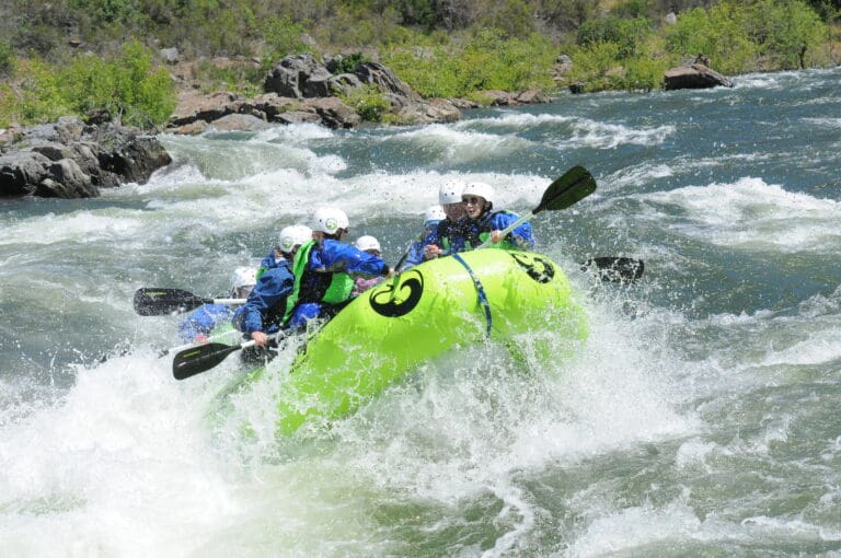
Photo courtesy of American Whitewater
Description
Take Out rapid marks the conclusion of the Middle Fork Fortymile River section, situated near the Taylor Highway bridge with potential for shallow, rocky conditions that demand precise navigation. Paddlers should be prepared for potential low water levels and scattered boulder gardens that can quickly shift boat positioning, requiring careful route selection and technical maneuvering.
Location
Other Rapids on This Run (1)
View Full Run
Joseph Airstrip to Taylor Hwy Fortymile Bridge
Fortymile, Middle Fork and North Fork
II(III)
46.0 mi
Current Conditions
5-Day Forecast
Whitewater data from
American Whitewater
American Whitewater