Gauge Conditions
Runnable: ? – ? CFS
Approximate - nearest available gauge. Use as general reference only.
Data from American Whitewater & USGS
Photo
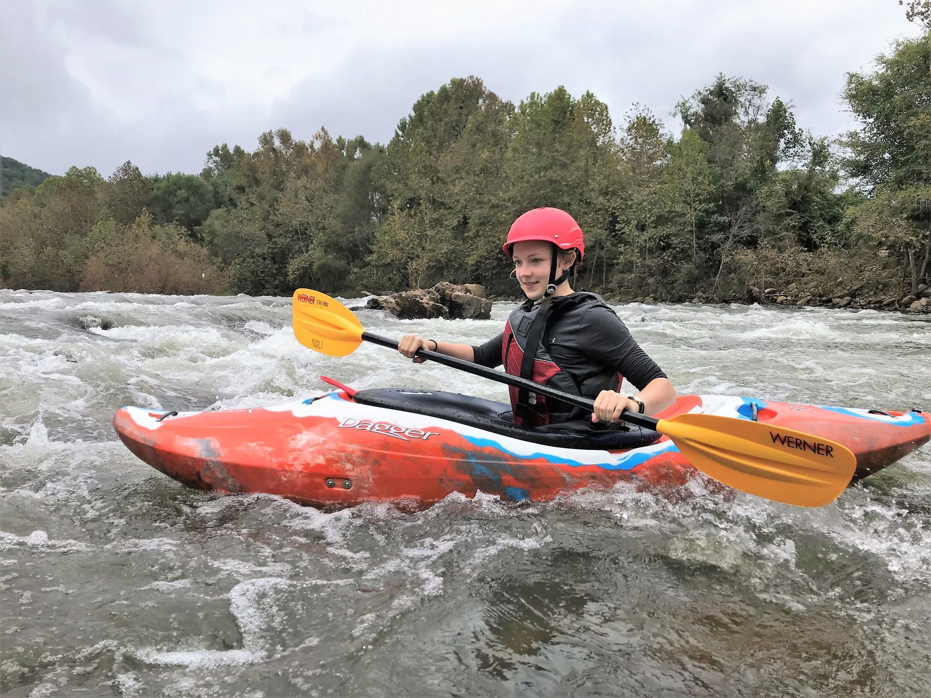
Photo courtesy of American Whitewater
Description
Take Out rapid marks the end of the Loon Creek run, situated at the confluence with the Middle Fork Salmon River. The rapid's characteristics are not well-documented, suggesting it may require careful navigation or scouting depending on current water levels. Paddlers should be prepared for potential hazards typical of remote wilderness river environments.
Location
Other Rapids on This Run (1)

View Full Run
Loon Creek Ranger Station to confluence with M. F. Salmon
Loon Creek
IV-V
22.2 mi
Current Conditions
5-Day Forecast
Whitewater data from
American Whitewater
American Whitewater