Take-out
AK
Take Out
Save this feature with the run it belongs to.
No live gauge linked. This feature record has no verified USGS or CDEC source for current flow. Use the parent run and local sources before making a trip decision.
Photo
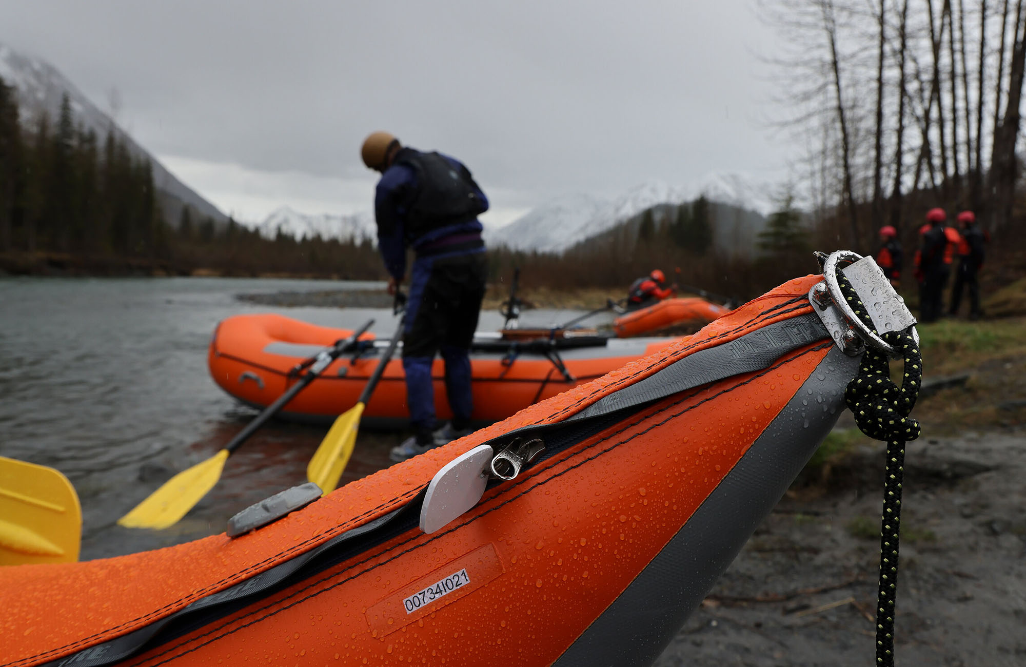
Photo courtesy of American Whitewater
Description
Take Out marks the terminal point of a remote Arctic river descent, transitioning from river to tundra landscape near the Beaufort Sea. Given the extreme latitude and lack of documented river beta, paddlers should expect unpredictable conditions and be prepared for self-rescue in a wilderness environment with minimal external support options.
Location
Other Rapids on This Run (1)
View Full Run
Margaret Lake to Beaufort Sea
Firth
III-IV
99.0 mi
Current Conditions
5-Day Forecast
Whitewater data from
American Whitewater
American Whitewater