Take-out
WY
Take Out
Save this feature with the run it belongs to.
Gauge Conditions
Runnable: ? – ? CFS
Approximate - nearest available gauge. Use as general reference only.
Data from American Whitewater & USGS
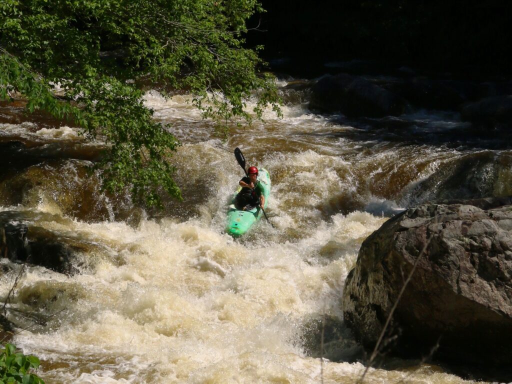
Photo
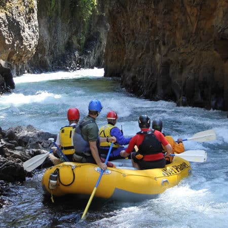
Photo courtesy of American Whitewater
Description
Take Out marks the final descent from the North Fork section, characterized by a narrow constriction that funnels water through a technical boulder garden with limited maneuvering room. Paddlers should be prepared for potential undercut rocks and shifting hydraulics that can quickly complicate navigation, particularly during varying water levels.
Location
Other Rapids on This Run (1)
View Full Run
North Fork to the Valley floor
Paintrock Creek
V+
14.7 mi
Current Conditions
5-Day Forecast
Whitewater data from
American Whitewater
American Whitewater