0.3 Pinnacles Power Plant to Claudville
Gauge Conditions
Runnable: 200.0 – 2,000.0 CFS
Due to the release schedule and proximity of the gauge to the reach, correlations are difficult and unconfirmed.
Data from American Whitewater & USGS
Run Map
Run Time Estimate
Select put-in and take-out to estimate time.
Plan This Trip
See wind-adjusted speed maps, forecast planning, and detailed time estimates.
Sign in to generate an AI timing estimate for this run.
Whitewater timing varies with scouting, portages, and group pace. Use as a planning baseline.
Description
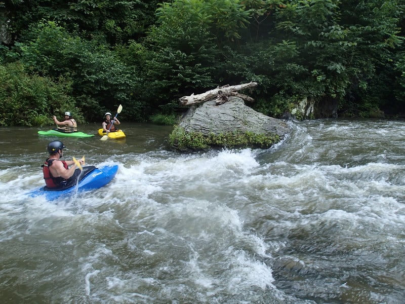
The Kibler Valley is a popular summer tailrace run beginning at the Pinnacles Powerplant downstream of Townes Reservoir. While the water is plenty cold during generation, it is not shockingly frigid like the Nantahala or nearby Smith River. Boaters are encouraged to call the powerplant (276-215-5141) for release schedule as there is rarely enough 'freestone' water to paddle without a major precipitation event. (See flow and gauge info). 7500kW is considered a minimum by most local paddlers.
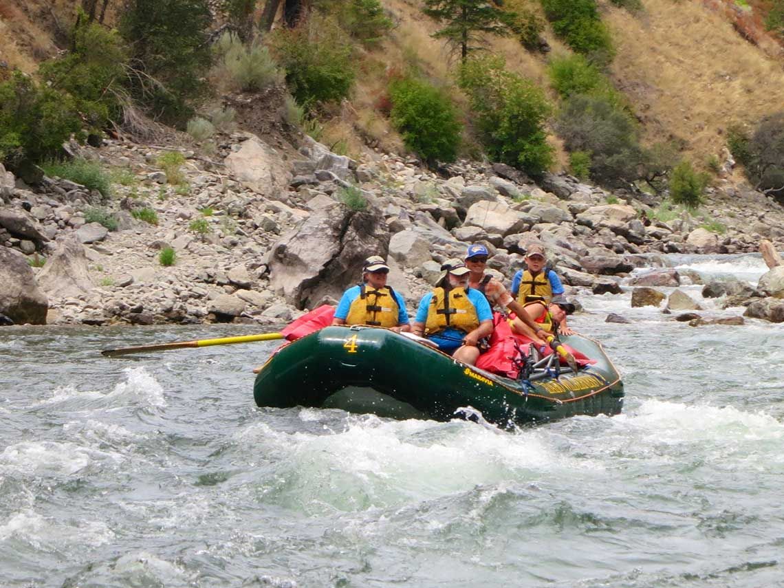
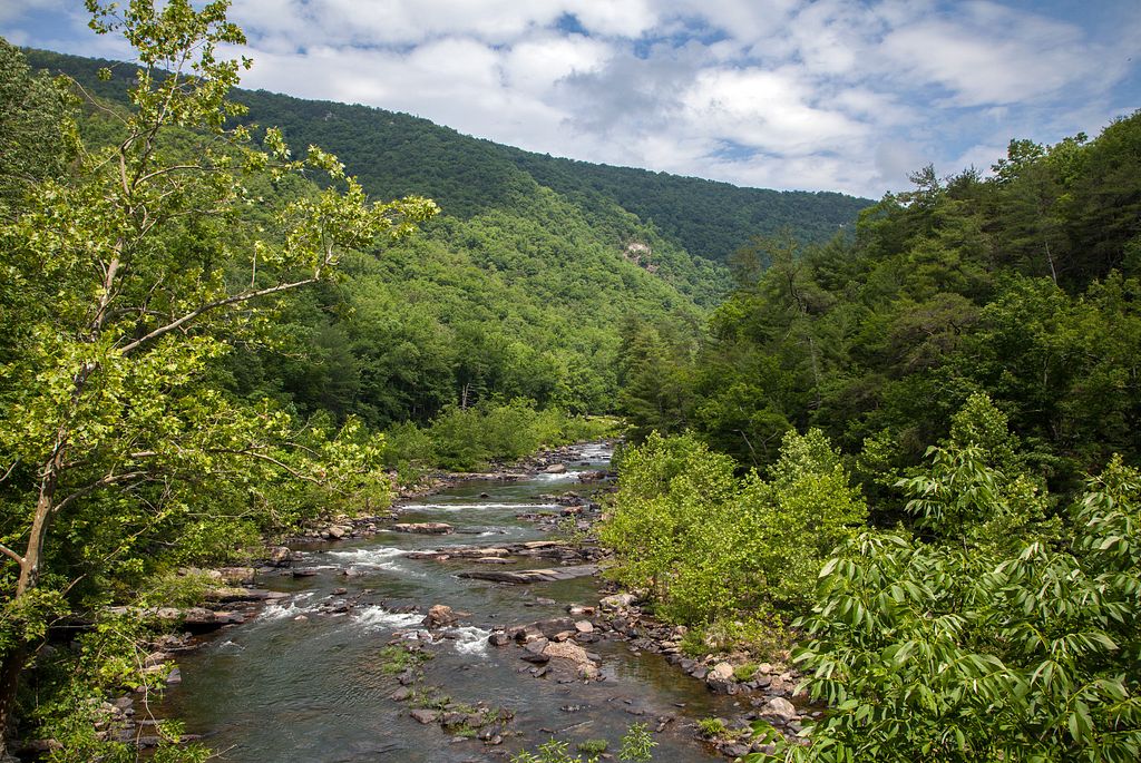
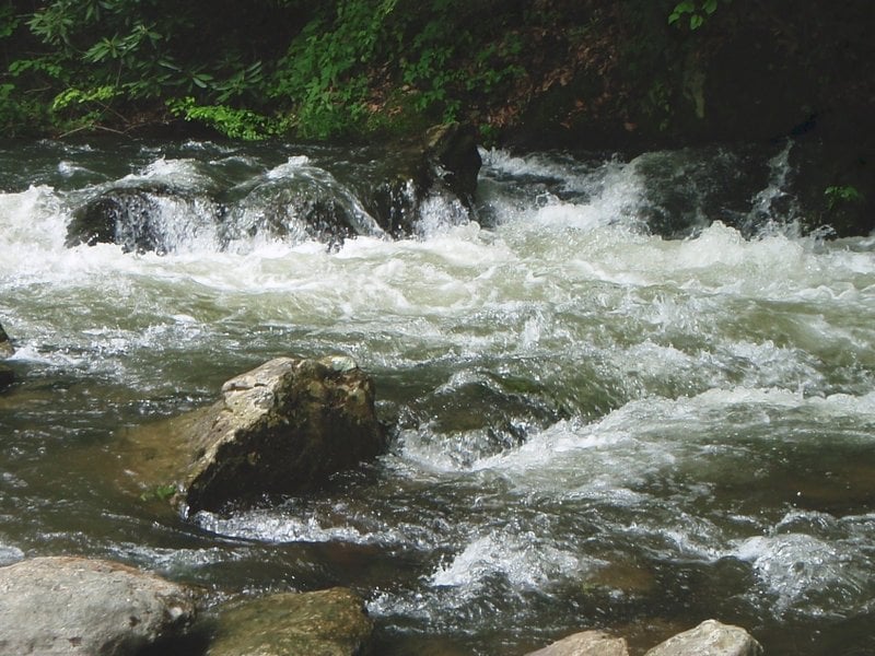
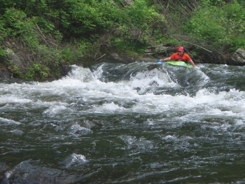
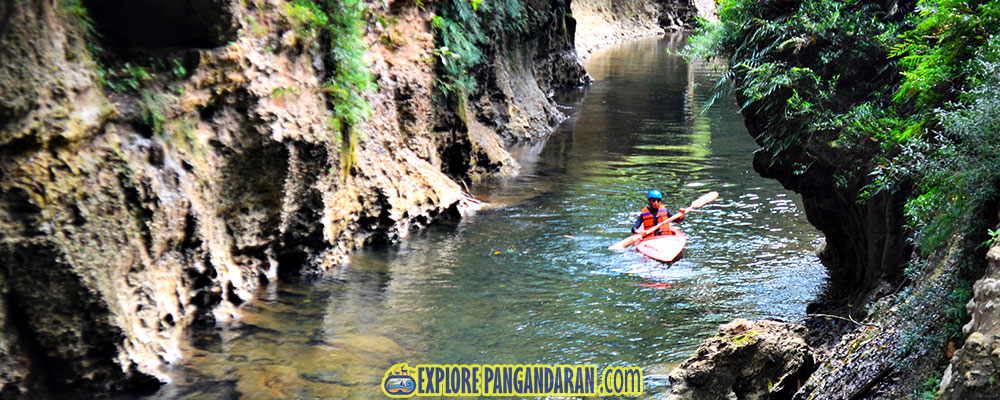
There are several nice whitewater features near the top, and the narrow boulder-laden channel provides a few strong eddy lines, hidden rocks, and tricky currents. The river gradually gentles with each mile and significant rapids all but dissappear after 3 miles (4th bridge) under normal conditions. The lower segments attract large numbers of both recreational paddlers and tubers, particularly during hot weekends when water is released.
While the road follows the river very closely on the upper half of this run, much of the riverbank property is prominently posted against trespass. Please respect private property rights and only park in non-posted pulloffs. Paddler's can expect a mixed reception as some landowners will wave and smile while others think that paddling should be banned entirely on this stretch. Though the Danube Church is a well-known meeting spot, locals are requesting boaters not to keep vehicles in the parking lot. Simply pull out and park on the shoulder. -BLP Aug. 2014
As of June 2016, the 'public' campsites are not available for use.
_Eric O'Connell provides (2003-10-12):_
_I ran Dan 'Creek', Saturday October 12 at 1:00. The Level was 152 CFS which is about 13cfs too low, however it still was a great class 2 with three rapids rating class 3. I took my girlfriend on this trip for her first river expedition and she had a blast. I recomend this trip for beginners and intermediates wanting to sharpen their skills. With a bit more water this would be a prime river run. I advise you to call before driving to see if the water level is sufficent to run the river. If so try it out and you will not be let down._
_Put In: The Pinnacles Power Plant is very good at allowing boaters to park at their facility. They also know the river really well and can answer many questions about the trip._ _The first half mile in my opinion is the best, in fact we got out and ran that section twice. The road runs right along the river for the entire run and is very accessible._
_100 yards from the put in is a good class 3 rapid that is easliy run from river right around two medium boulders that will flip you if given the opportunity. If you do get flipped there is a small pool below this rapid that you can roll before the next rapids._
_Another 100 yards downstream there is a good class 3 rapid on river left that is run easily if you start river right and work river left. If is very fun and usually there are people on the bridge watching you blast the rapid._
_From here you will take a 2 mile journey filled with fast, steady whitewater with two or three more good class 3 rapids. There were no hazards on my trip but still be cautious because this creek is very fast and there is little time to scout and very few places to relax. This is a very quiet creek and all the landowners are very polite and enjoy having our company, please be polite. (section removed, BLP 2016)_
See Also:
_Virginia Whitewater_, Roger Corbett (2000 ed.), p. 505.
_Exploring Virginia's Waterways_, Ed Gertler (2022 ed.), p. 266.
Rapids in this Run (2)

Difficulty
Class I-III
Length
11.2 mi
Gradient
35 ft/mi
max 75
Rapids
2
Access Points
Difficulty Classes
I Easy
II Novice
III Intermediate
IV Advanced
V Expert/Extreme
VI Unrunnable
Current Conditions
5-Day Forecast
Whitewater data from
American Whitewater
American Whitewater