0.6 Shepherdstown, WV to Dargans Bend Boat Ramp
Gauge Conditions
Runnable: 2.7 – 7.5 FT
Runnable: 1.5 – 7.6 FT
Data from American Whitewater & USGS
Run Map
Run Time Estimate
Select put-in and take-out to estimate time.
Plan This Trip
See wind-adjusted speed maps, forecast planning, and detailed time estimates.
Sign in to generate an AI timing estimate for this run.
Whitewater timing varies with scouting, portages, and group pace. Use as a planning baseline.
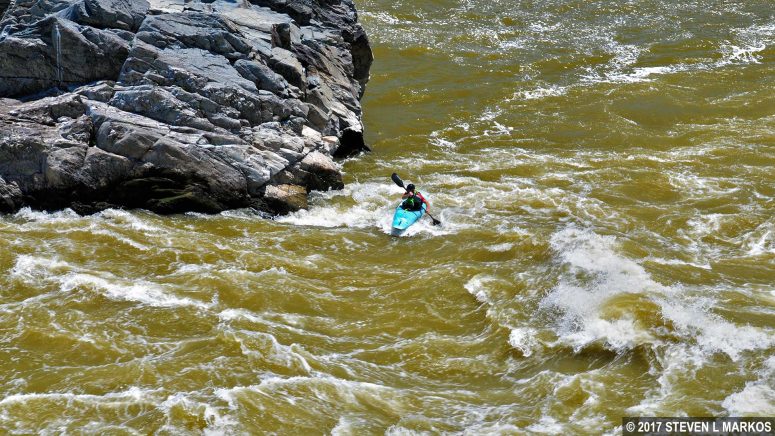
Description
Put in at the Princess Street boat ramp in Shepherdstown, WV; there is also access on the Maryland side of the Shepherdstown bridge at C&O Canal Lock 38. Antietam Creek C&O hiker/biker campground is about 3 miles downstream from Shepherdstown, WV and the mouth of Antietam Creek is about 0.3 miles below that. Take-out is on the Maryland side at the Dargans Bend boat ramp about 7.9 miles below Shepherdstown, WV.
Rapids in this Run (1)
Difficulty
Class I
Length
8.0 mi
Rapids
1
Access Points
Difficulty Classes
I Easy
II Novice
III Intermediate
IV Advanced
V Expert/Extreme
VI Unrunnable
Current Conditions
5-Day Forecast
Whitewater data from
American Whitewater
American Whitewater