0. Newcomb to Indian River confluence
Gauge Conditions
Runnable: 400.0 – 3,000.0 CFS
400 CFS reportedly lets you "just scrape by". Upper is a guess for intermediates.
Data from American Whitewater & USGS
Run Map
Interactive run map
Loads as you approach this section.
Run Time Estimate
Select put-in and take-out to estimate time.
Plan This Trip
See wind-adjusted speed maps, forecast planning, and detailed time estimates.
Sign in to generate an AI timing estimate for this run.
Whitewater timing varies with scouting, portages, and group pace. Use as a planning baseline.
Description
This section is just becoming practically accessible, thanks to recent property acquisitions by New York State. For now this information can be considered less than completely reliable.
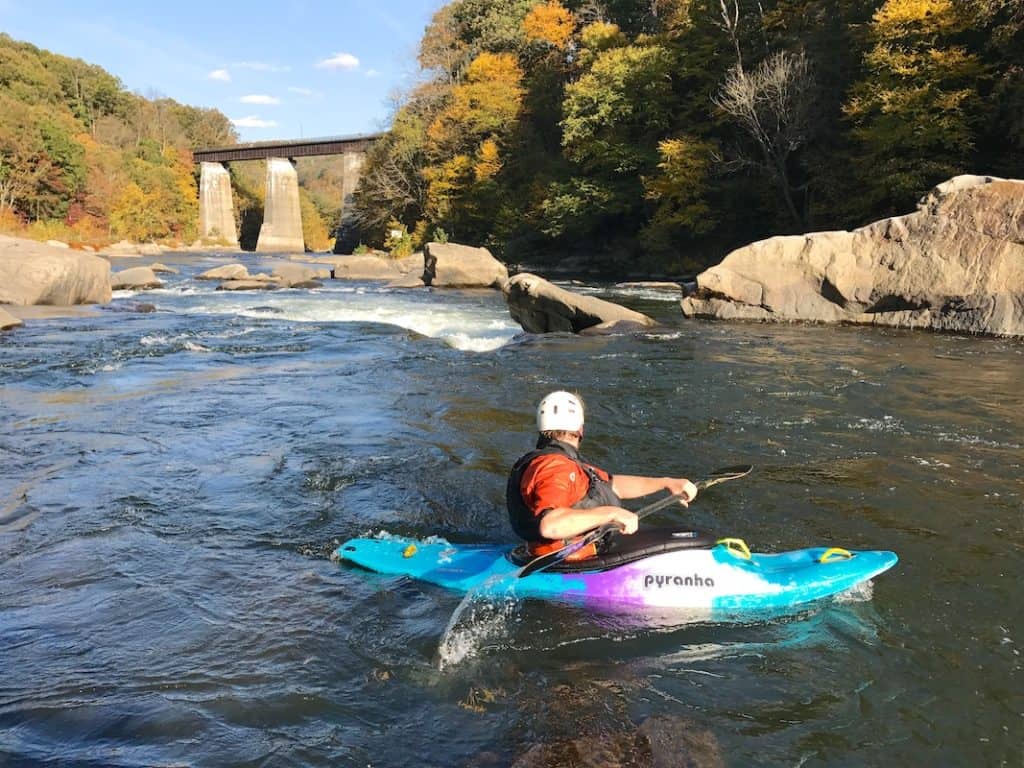
This section can be treated as a single run of about 12.5 miles, or as two sections, from Newcomb to slightly downstream of the Goodnow River (7 miles), and from there to the confluence with the Indian River (5.5 miles). The entire stretch is very remote, and at modest levels will range from calm to class 2, with short stretches possibly aproaching class 3. Access at the Goodnow River is from the north, by way of a road that is mostly at least 1 mile from the river. Access to the lower parts of this section is from the south via Chain Lakes Road (same as for the gorge), and perhaps by other roads depending on the final managment plan for the newly acquired lands.
The mileage is based on putting in at a public boat launch on Harris Lake and paddling about 1.25 miles to the Hudson River. Since much of the river will usually be fairly placid the 12.5 miles will probably feel even longer than the 15 mile Hudson gorge section. The listed take out is for the first 7 miles. See the directions on the Hudson gorge (Indian River to North Creek) section for info on the take out near the confluence with the Indian.
Eastern Adirondacks Reaches
Ausable, E. Branch Ausable, W. Branch (1.) Ausable, W. Branch (2.) Balm of Gilead Brook
Boquet (2.) Boquet (3.) Boquet, N. BranchBoquet, S. Branch
Boreas (1.) Branch, The (Boquet trib.) Branch, The (Schroon trib.) Cedar (1.)
Cedar (2.) Cold Deer Creek (Hudson Trib.)Glen Creek
Hague Brook Hudson (0.) Hudson (1. Indian River to North River) Hudson (2. North River to Riparius)
Hudson (3. Riparius to the Glen) Indian (Hudson trib.) John's BrookLa Chute
MettaweeMill Creek (Essex County) Mill Creek (Hudson trib.) North Creek
Pike Brook PoultneyPutnam Creek Raquette (1.)
Rock River Schroon (North Hudson to Schroon Falls) Schroon (Starbuckville to Riverbank)Schroon (Warrensburg to Thurman Station)
Squaw Brook Styles Brook Thirteenth Brook Trout brook (Schroon trib)
West Mill Brook
Google Map of New York Whitewater
New York Whitewater Paddlers Facebook Group
Rapids in this Run (2)
Difficulty
Class II(III)
Length
7.2 mi
Gradient
9 ft/mi
max 30
Rapids
2
Access Points
Shuttle Info
The best put in option appears to be at the Newcomb boat launch on Harris Lake, about 1 mile west of the Hudson itself, and just north of route 28N. To reach the access below the Goodnow River continue west on 28N for about 1.25 miles and take Goodnow Flow Road south (left). After passing the east end of the Goodnow Flowage (just a large lake), stay left on Gooley Club Road and then stay left until reaching a steel bridge over the Hudson. Actual parking location is not known as of yet.
To reach the take out follow 28N west for 25 miles to route 28 at Blue Mountain lake. Turn left (east) on route 28 and go 12.5 miles to left on Chain Lakes Rd. Follow Chain Lakes Road about 3.5 miles to suitable parking.
Difficulty Classes
I Easy
II Novice
III Intermediate
IV Advanced
V Expert/Extreme
VI Unrunnable
Current Conditions
5-Day Forecast
Whitewater data from
American Whitewater
American Whitewater