01. Conoco Station to Bilk Creek
Gauge Conditions
Runnable: ? – ? CFS
Approximate reading: This gauge is 14.2 miles away on San Miguel. Use as a general reference only.
Data from American Whitewater & USGS
Run Map
Description
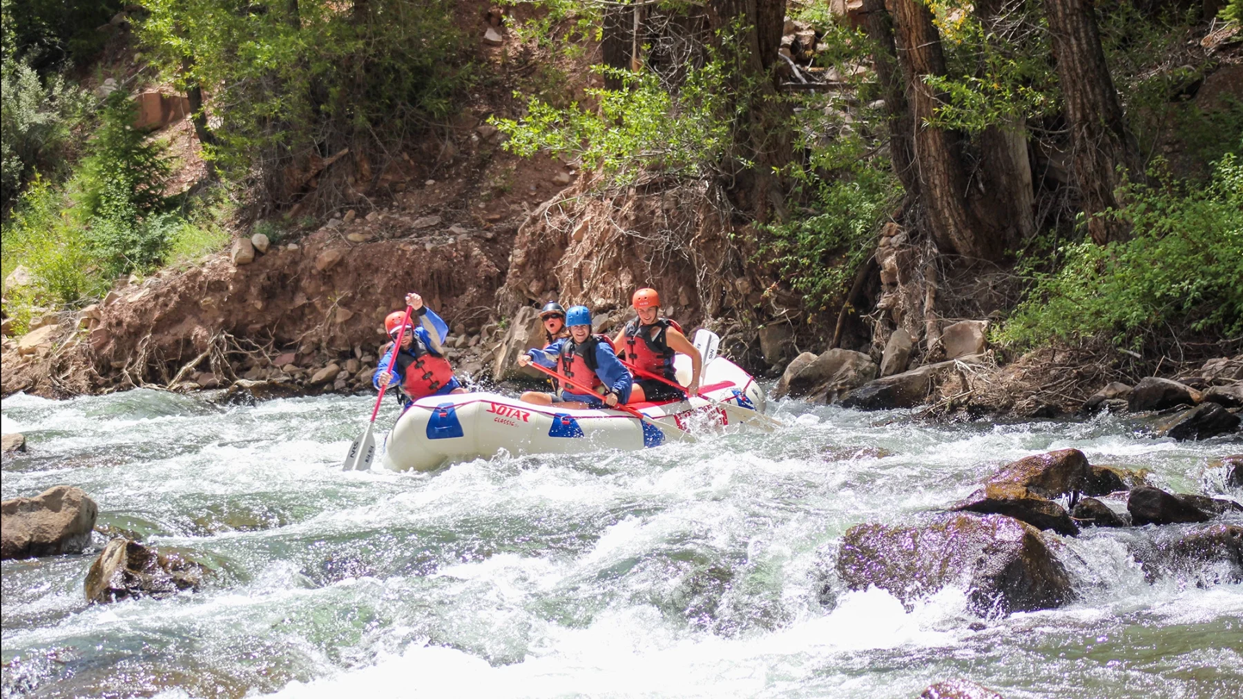
From the baseball field parking lot (37.947, -107.876), put on and float 5 minutes downstream to the start of keystone falls.
Rapids in this Run (1)
Difficulty
Class V
Length
3.1 mi
Rapids
1
Access Points
Difficulty Classes
I Easy
II Novice
III Intermediate
IV Advanced
V Expert/Extreme
VI Unrunnable
Current Conditions
5-Day Forecast
Whitewater data from
American Whitewater
American Whitewater