01. Hot Sulphur Springs to Hwy 40 bridge
Gauge Conditions
Runnable: 400.0 – 2,000.0 CFS
Data from American Whitewater & USGS
Run Map
Run Time Estimate
Select put-in and take-out to estimate time.
Plan This Trip
See wind-adjusted speed maps, forecast planning, and detailed time estimates.
Sign in to generate an AI timing estimate for this run.
Whitewater timing varies with scouting, portages, and group pace. Use as a planning baseline.
Description
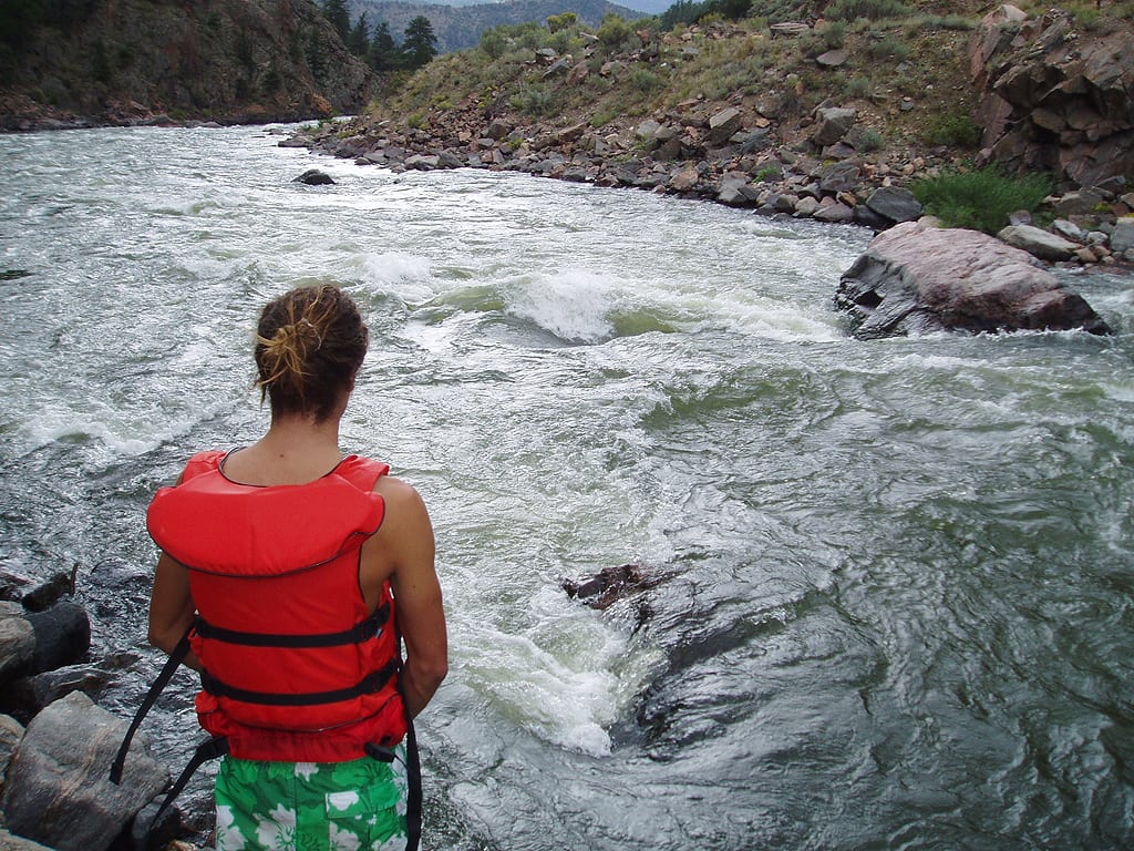
The Colorado River cuts a short gorge just downstream of the town of Sulfur Hot Springs. As with almost every roadside or train-side river in the Rockies the riverbed is full of sharp blast rock and the occasional piece of man-made debris. All of the rapids can be scouted from the road, but be careful both for falling rocks and vehicles, and most are pretty easy to scout from the river depending on the flow.
From the put in at a nice riverside park in Hot Sulfur Springs the first half mile or so is a mellow mostly flat warm up. The river soon enters the canyon and after a couple of very small rapids you will encounter the largest drop on the river and the only real class IV. The canyon is constricted and there is a clear horizon line. The majority of the flow ramps down a tongue on center right through several large boulders. After the first large rapid there are three or four smaller but still interesting rather straightforward probably class III to III+ rapids. After three or four progressively smaller rapids the canyon opens and the takeout is just after the bridge on the left. The entire run is pretty short and multiple laps would be easy to do if one was motived to run them.
Byers Canyon was being run by Rick Stock and Craig Irwin in 1992 and probably earlier.
Its a quick few miles in steep talus slopes and carved canyon with easy logistics.
Based on comments this river can be navigated at flows down to 190 CFS.
Rapids in this Run (1)
Difficulty
Class IV
Length
2.7 mi
Gradient
42 ft/mi
Rapids
1
Access Points
Difficulty Classes
I Easy
II Novice
III Intermediate
IV Advanced
V Expert/Extreme
VI Unrunnable
Current Conditions
5-Day Forecast
Whitewater data from
American Whitewater
American Whitewater