01. Hwy 515 to Dunn Bridge Recreational
Gauge Conditions
Runnable: 140.0 – 1,000.0 CFS
Flow range for best boatability uncertain. Please help your fellow boaters with a comment or report.
Data from American Whitewater & USGS
Run Map
Put-in
Take-out
Rapids/Hazards
Recreational
Run Time Estimate
Select put-in and take-out to estimate time.
Plan This Trip
See wind-adjusted speed maps, forecast planning, and detailed time estimates.
Sign in to generate an AI timing estimate for this run.
Whitewater timing varies with scouting, portages, and group pace. Use as a planning baseline.
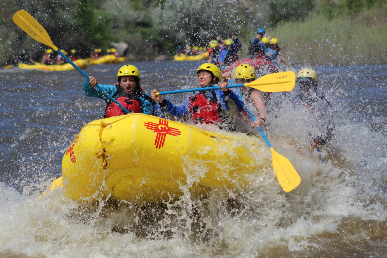
Description
The Red River flows 3 1/2 miles through a scenic gorge to the conflunce with the Rio Grande. From there it is 8 1/2 miles to a take out at County Road B-007.
Put in: Highway 515 ends at the Red River Fish Hatchery on the Red River.
Wild Rivers Recreation Area
The reaches of the Taos Box area are...
Ute Mountain (Class II),
Razors (Class III/IV),
Upper Box (Class V/V+),
Lower Box (Class III/IV),
Pilar (Class III/IV),
Otowi Bridge (Class III),
Red River (Class IV),
Rio Pueblo (Class V+), and
Rio Embudo (Class V+).
Rapids in this Run (1)
Difficulty
Class IV+
Length
3.6 mi
Rapids
1
Access Points
Difficulty Classes
I Easy
II Novice
III Intermediate
IV Advanced
V Expert/Extreme
VI Unrunnable
Current Conditions
5-Day Forecast
Whitewater data from
American Whitewater
American Whitewater