01. I-70 to Hanksville
Gauge Conditions
Data from American Whitewater & USGS
Run Map
Run Time Estimate
Select put-in and take-out to estimate time.
Plan This Trip
See wind-adjusted speed maps, forecast planning, and detailed time estimates.
Sign in to generate an AI timing estimate for this run.
Whitewater timing varies with scouting, portages, and group pace. Use as a planning baseline.
Description
SEASON: Seldom runnable, but keep an eye on the gauge during late
May to June.
FUN FACT: The best way to experience the San Rafael Swell.
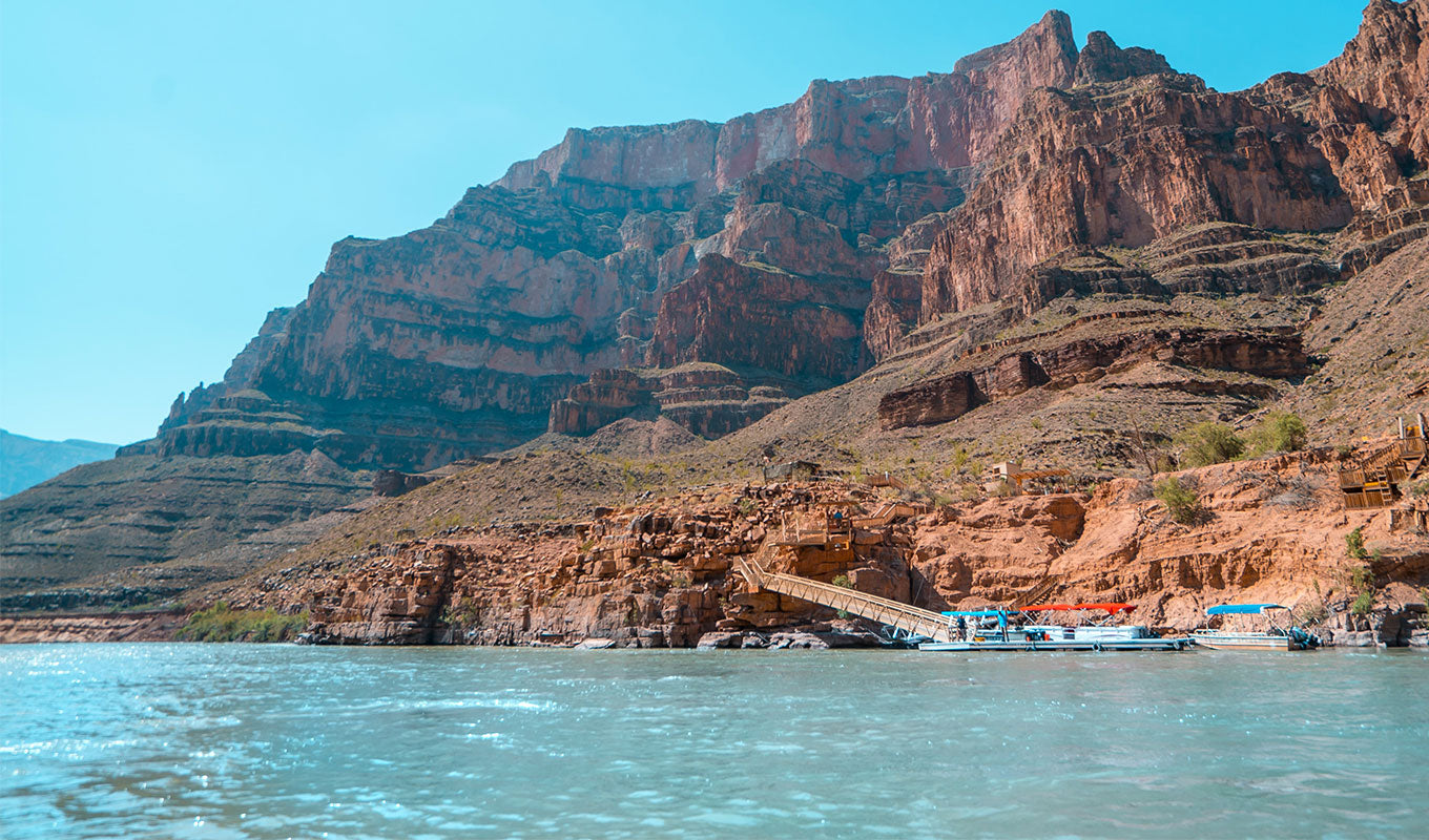
ACCESS: The long run (3 days) starts at the Highway I-70 bridge
across Muddy Creek less than a mile east of exit 97. Alternative access
points exist at Lone Tree Crossing, Tomisch Butte, Chimney Canyon, Salt
Wash, and the final take-out at the Highway 24 bridge in Hanksville. Keep
in mind that your shuttle can take several hours.
DESCRIPTION: Muddy Creek can be boated as a multiday trip, but
The Chute is often boated as a day trip.
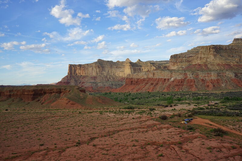
Starting from I-70 Muddy Creek flows through ranch land as it cuts a
course across the desert. This first 11 mile section contains some class
II/III rapids.
The next section starts at Lone Tree Crossing. This infrequently
boated section has some great camping along the river as the river
begins to cut a course through the impressive geology of the San Rafael
Swell. There are few rapids in this 19 mile class I/II section.
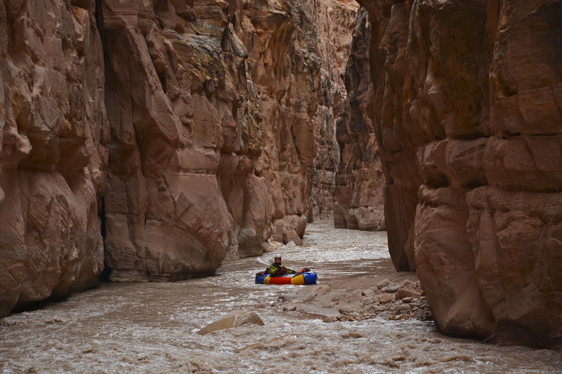
The most popular section begins at Tomisch Butte. It's a long drive
from Highway I-70 exit 129. Follow the frontage road as it heads west
along the south side of I-70 and make sure you have a good map. There
is camping at the put-in and in the rare years when flows are good
floaters gather to paddle this 15 mile section that includes The Chute.
There are a few class II rapids along this section until you enter The
Chute which is a very impressive canyon up to 300' deep and only 7' wide
in places. This narrow box canyon is approximately 4 miles. There is an
access point at the end of this section at the Chimney Canyon trailhead
near the Hidden Splendor Mine.
Once you leave the access at the Chimney Canyon trailhead you will
leave the day trippers behind. It's another 5 miles of class I/II water to an
access point downstream from Salt Wash where a spur road off Highway
24 ends at the river.
The final 22 miles is class I that cuts across the desert.
for additional information see:
- Nichols, G.C. 1993. River Runners' Guide to Utah. University of Utah
Press, includes an excellent and comprehensive description
- National Geographic's Trails Illustrated map (712) of
the San Rafael Swell.
Rapids in this Run (5)
Difficulty
Class II-III
Length
81.7 mi
Gradient
19 ft/mi
Rapids
5
Access Points
Difficulty Classes
I Easy
II Novice
III Intermediate
IV Advanced
V Expert/Extreme
VI Unrunnable
Current Conditions
5-Day Forecast
Whitewater data from
American Whitewater
American Whitewater