01. Left Fork to Utah P&L Experimental Farm
Gauge Conditions
Runnable: ? – ? CFS
Approximate reading: This gauge is 14.4 miles away on Huntington Creek. Use as a general reference only.
Data from American Whitewater & USGS
Run Map
Run Time Estimate
Select put-in and take-out to estimate time.
Plan This Trip
See wind-adjusted speed maps, forecast planning, and detailed time estimates.
Sign in to generate an AI timing estimate for this run.
Whitewater timing varies with scouting, portages, and group pace. Use as a planning baseline.
Description
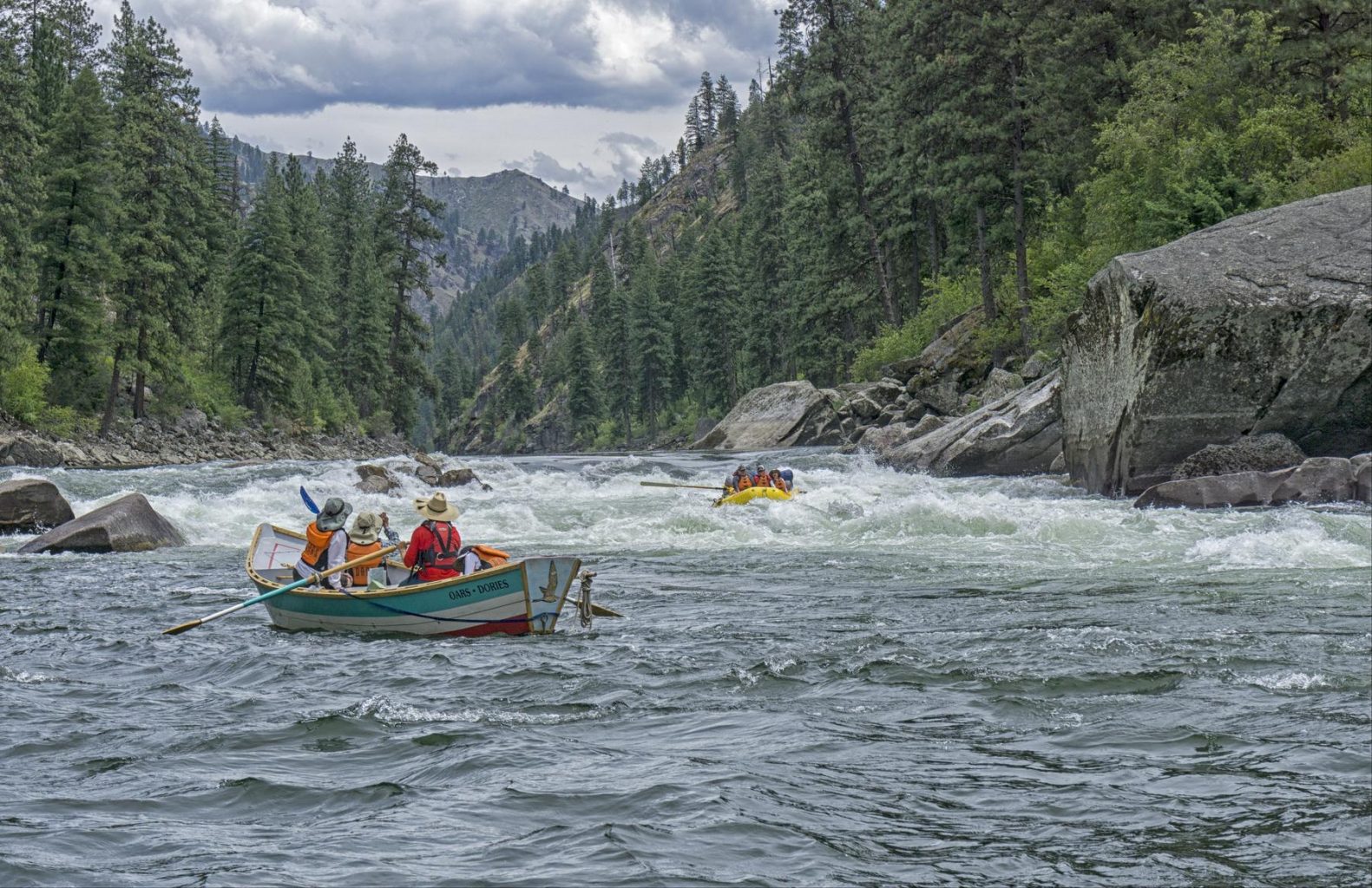
The Main Huntington has a great deal of wood issues, and it appears to have not been run much until it was "rediscovered" during the high water spring of 2011. The upper 1.5 miles has a couple of fun fast "slides", and a strange "haystack" wave, which made this section popular with boaters headed down for Joes Valley high water runs.
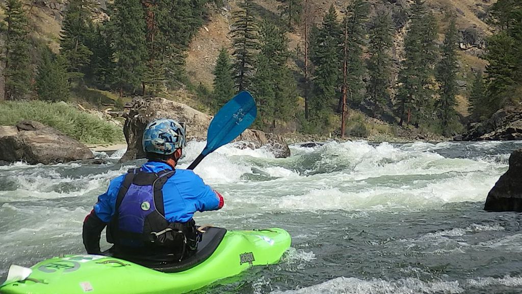
This run is "almost roadside", but in 2011 it was necessary to hike down to the river in spots to fully scout the upper mile. Micro eddies on river right can serve as takeouts before passing under the road. Make sure the drop under the road is free of wood. Spot your takeout eddy well, as there are few eddies in this stretch. A lot of this run looks like it could be good creeking, but there is so much wood its rarely done.
Apparently the river enters a difficult gorge lower down on the run. That has not had many descents.
Rapids in this Run (3)
Difficulty
Class III-IV+(V)
Length
10.4 mi
Rapids
3
Access Points
Difficulty Classes
I Easy
II Novice
III Intermediate
IV Advanced
V Expert/Extreme
VI Unrunnable
Current Conditions
5-Day Forecast
Whitewater data from
American Whitewater
American Whitewater