01. Rangely (CO) to Green River
Gauge Conditions
Runnable: 700.0 – 10,000.0 CFS
Acceptable flow range (flows based on AW's 2014 Colorado Basin Flow Study).
Data from American Whitewater & USGS
Run Map
Run Time Estimate
Select put-in and take-out to estimate time.
Plan This Trip
See wind-adjusted speed maps, forecast planning, and detailed time estimates.
Sign in to generate an AI timing estimate for this run.
Whitewater timing varies with scouting, portages, and group pace. Use as a planning baseline.
Description
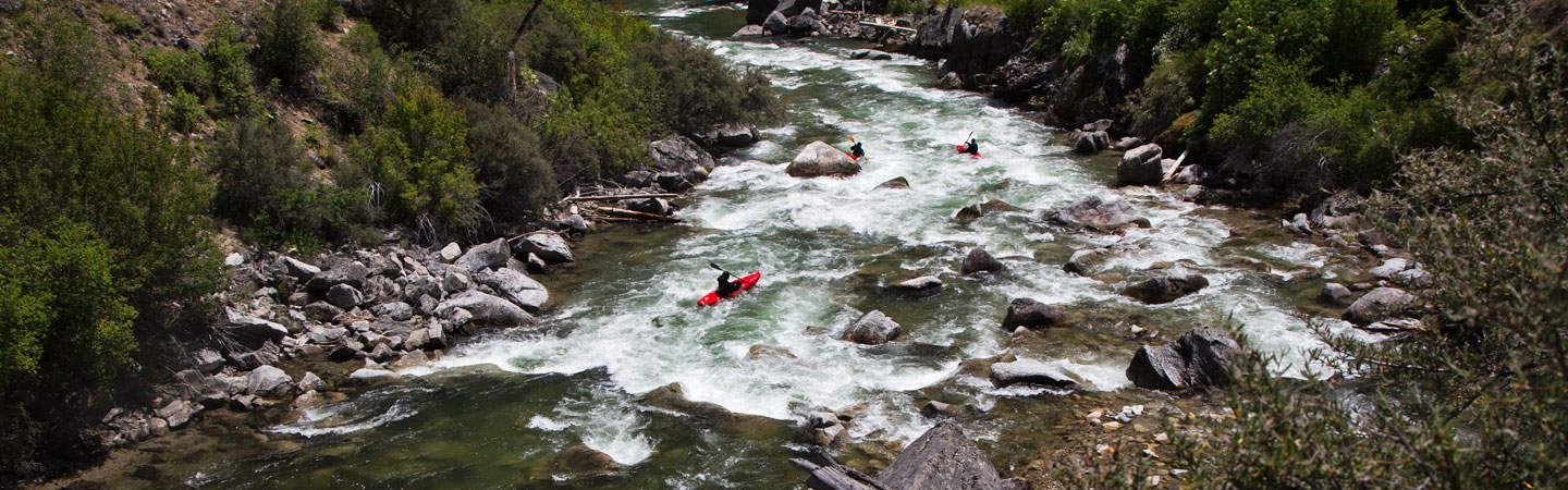
This long, not very steep stretch has at least two dams. Paddlers would probably choose to put in below one or another dam and paddle to the next flatwater.
The BLM publishes a brochure with maps for this river.
Rapids in this Run (1)
Difficulty
Class I-II
Length
96.0 mi
Rapids
1
Access Points
Difficulty Classes
I Easy
II Novice
III Intermediate
IV Advanced
V Expert/Extreme
VI Unrunnable
Permit Required
Continuing past Enron ramp requires a permit from the Uintah and Ouray tribe. As of 2024, permits are not available.
Current Conditions
5-Day Forecast
Whitewater data from
American Whitewater
American Whitewater