01. Rollinsville to Pinecliffe (Alto Alto Section)
Gauge Conditions
Runnable: ? – ? CFS
Approximate reading: This gauge is 10.4 miles away on Boulder Creek. Use as a general reference only.
Data from American Whitewater & USGS
Run Map
Description
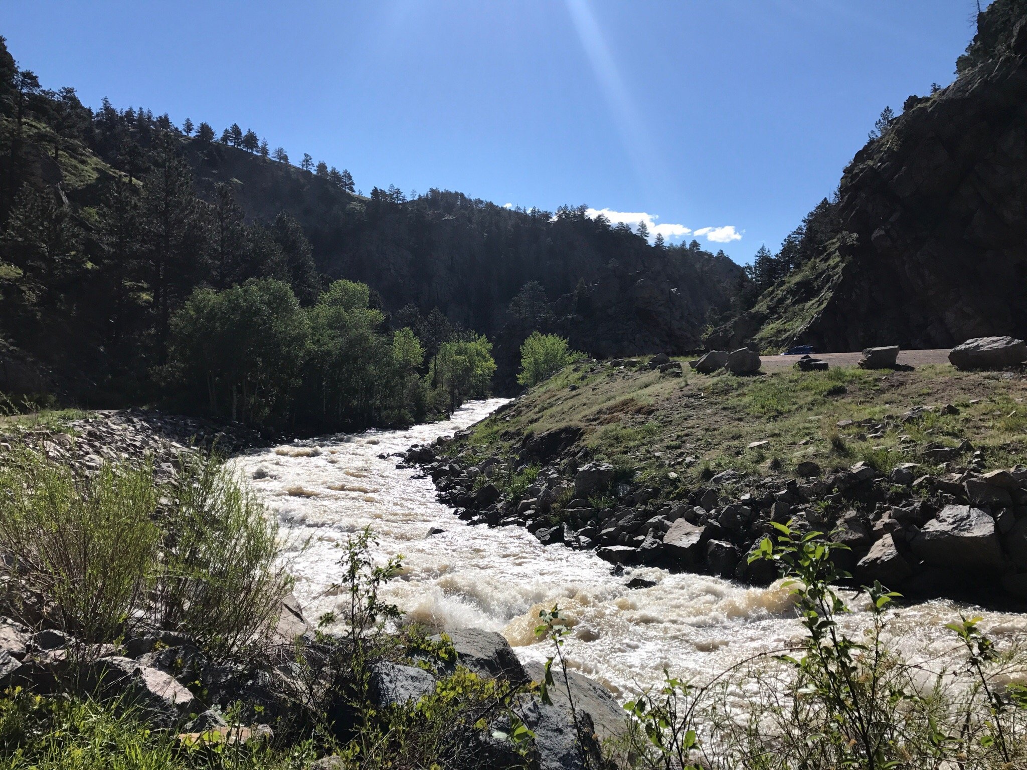
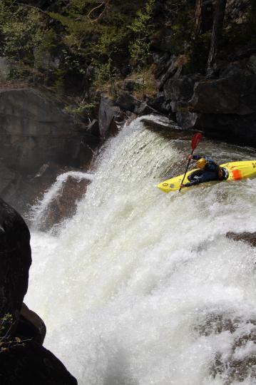
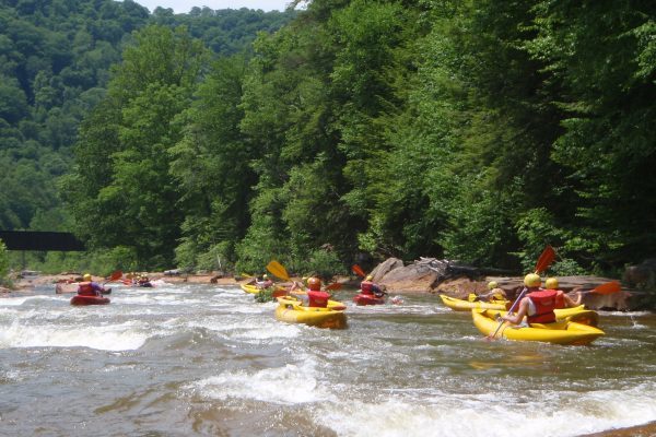
Guaranteed cold and clear! Alto-Alto - Upper South Boulder Creek has great paddling fun from the get-go. This classic Colorado creek run can be accessed from a variety of launch points. Put-ins range from one to four miles above Rollinsville with tricky private land river access issues and a few man-made features. The river is alpine grade steepness near the Moffat Tunnel, rolling and falling away in sections. The river then begins pooling and dropping in stage pools from mining in the Tolland Valley.
After a boater has slid under HWY 119 you will pass the Rollinsville Yacht club on river right through the thick willow then the canyon tightens.
Hit the Opener surf wave then the rapids increase and the train feels like its in the river with you if you have the luck of hitting the rapid when the train is coming.
Rapid of Note: The U.P. Cascade: Eddy out river left to scout before the river turns back to the right and plunges down a cascade with a wall on river right and the train tracks on river left. This rapid differs tremendously between 350 and 600 CFS creating two river-wide ledges at higher flows that stomp. The static and unnatural shoreline on river left mirrors river right shoreline.
Spanky rapid is followed by a few tight turns and river splitting islands.
\*Edge season fun-fact: Long vertical icicles at head height near island splits bring on new meaning to ice cream headache.
In the exit of the canyon section a paddler will notice significant riverbed alteration as entering the private land owner whom has taken liberties with the streambed. The land owners in here (above the Icehouse property river left) have tried to create some trout habitat, apparently without consulting Gary Lacey about boulder placement.
\\*\\* Unique Colorado river hazard: This is the only run in Colorado where kayakers can be run over by Semi Trucks while boating. (private land owner is trucking trailer loads of gravel out of the former Ice House property by crossing the creek daily)
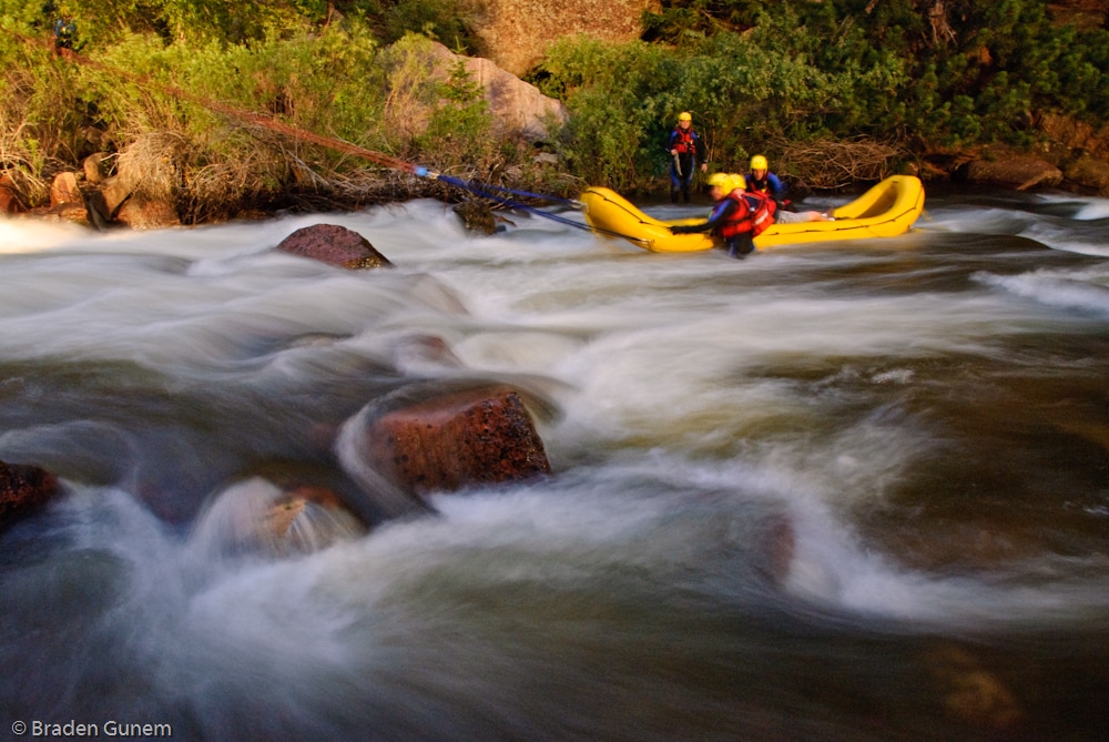
Alto-Alto has a great but little canyon section, the occasional crazy naked gold miner and the front range kitty kat is home to this canyon. Beware metal sieve at railroad track crossing overhead and railroad debris and low bridge in the creekbed near takeout.
Wood frequently moves through this run, so heads up!
See _Colorado Rivers and Creeks II_, by Banks and Eckardt _(The Bible)_, for info on this and most of the other cool runs of Colorado.
The creeks of Boulder County, Jasper Creek (Class V+/VI), The Source (Class V), Upper Boulder Canyon (Class V,V+), Lower Boulder Canyon (Class IV), Boulder Town Run (Class II/III), North Fork Boulder (Class V+/VI), Alto-Alto (Class IV), Upper South Boulder (Class V+/VI), Lower South Boulder (Class IV/V+/VI), Eldorado Canyon (Class V+).
Rapids in this Run (1)

Hazards & Portages (2)
Caution: The following locations may require scouting or portaging. Always check current conditions.
Difficulty
Class IV
Length
5.7 mi
Gradient
80 ft/mi
Rapids
1
2 Hazards
Access Points
Shuttle Info
From Boulder; drive West on HWY 119 toward Nederland, (obey the speed limits entering Nederland or pay!), go South through the traffic circle and pass by the Eldora Ski turnoff and keep climbing up and out of Ned. Enter Gilpin County and finish the climb and coast on down into Rollinsville.
Take a right hand turn toward Moffat Tunnel/ Moffat Pass.
If you turn left toward the historic bar you will find junk food and drinks at the corner store.
(Please drive slow, there are lots of folks and dogs taking it easy in Rollyworld.)
Proceed either to the first river crossing and put-in (the standard), or.... drive the 10 miles toward Moffat Tunnel and explore some steepness and fast, clear and cold Upper South Boulder.
Difficulty Classes
I Easy
II Novice
III Intermediate
IV Advanced
V Expert/Extreme
VI Unrunnable
Current Conditions
5-Day Forecast
Whitewater data from
American Whitewater
American Whitewater