02. Box Canyon to Creede
Gauge Conditions
Runnable: ? – ? CFS
Approximate reading: This gauge is 16.6 miles away on Rio Grande. Use as a general reference only.
Data from American Whitewater & USGS
Run Map
Run Time Estimate
Select put-in and take-out to estimate time.
Plan This Trip
See wind-adjusted speed maps, forecast planning, and detailed time estimates.
Sign in to generate an AI timing estimate for this run.
Whitewater timing varies with scouting, portages, and group pace. Use as a planning baseline.
Description
There are several alternate Put ins and Access points for this stretch:
Hogback Mountain (unimproved): The boat ramp is on the south side of river (river right) about 50 yards downstream of the big lone Ponderosa Pine Tree however, this is not an official boat ramp. 4-wheel drive is needed to access the put-in and there are no restrooms at the launch. It's about 2.1 miles +/- to the Rio Grande C.G. boat ramp.
Rio Grande C.G. (aka Fisherman's): The boat ramp is on the north side of the river (river left) just after a little island. You must either float to the left of island or REALLY hump on the oars at end of island to make the boat ramp. Overnight camping available for a fee in this USFS C.G. Public restrooms. DO NOT park in any of the campground sights, instead park near the outhouse and pump. Having 4-wheel drive might be helpful but is not necessary. 4.9 miles +/- to Marshal Park CG boat ramp.
Marshall Park C.G. Boat Ramp: The boat ramp is on the south side of the river (river right) located between the Hwy 149 bridge and the bridge going to the campground. You are unable to park in the boat ramp so make sure to turn around and park at the top of the hill near pavement. There are no restrooms unless you walk across bridge into the C.G. 7.2 miles +/- to Deep Creek boat ramp.
There are a few low bridge hazards on this reach, as described below. Information was provided by the Rio Grande Headwaters Restoration Project and Trout Unlimited.
The Rio Oxbow Ranch private bridge is always passable with drift boats, however flows > 1,000 cfs (at RIOMILCO gauge) presents issues for rafts with fishing frames. Coordinates: 37.728903, -107.059001
The Kansas Club Bridge is a private walking bridge for a fishing club. At higher flows, boats must stay left and be aware of hanging rope and cables. Coordinates: 37.730691, -107.011209
The Antlers Resort Bridge is another walking bridge farther downstream that presents an extreme hazard to navigation at higher flows. Dories and rafts usually cannot pass at flows > 770 cfs. Coordinates: 37.813558, -106.97722
The Broadacres bridge is passable on river left at all flows and river right at most flows. Coordinates: 37.818125, -106.968126

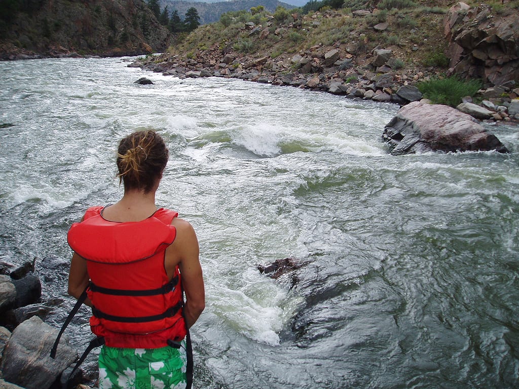

Difficulty
Class II-III
Length
23.7 mi
Gradient
24 ft/mi
Rapids
4
Access Points
Difficulty Classes
I Easy
II Novice
III Intermediate
IV Advanced
V Expert/Extreme
VI Unrunnable
Current Conditions
5-Day Forecast
Whitewater data from
American Whitewater
American Whitewater