02. East Vail Exit (I-70) to Vail
Gauge Conditions
Runnable: 300.0 – 2,000.0 CFS
Data from American Whitewater & USGS
Run Map
Description
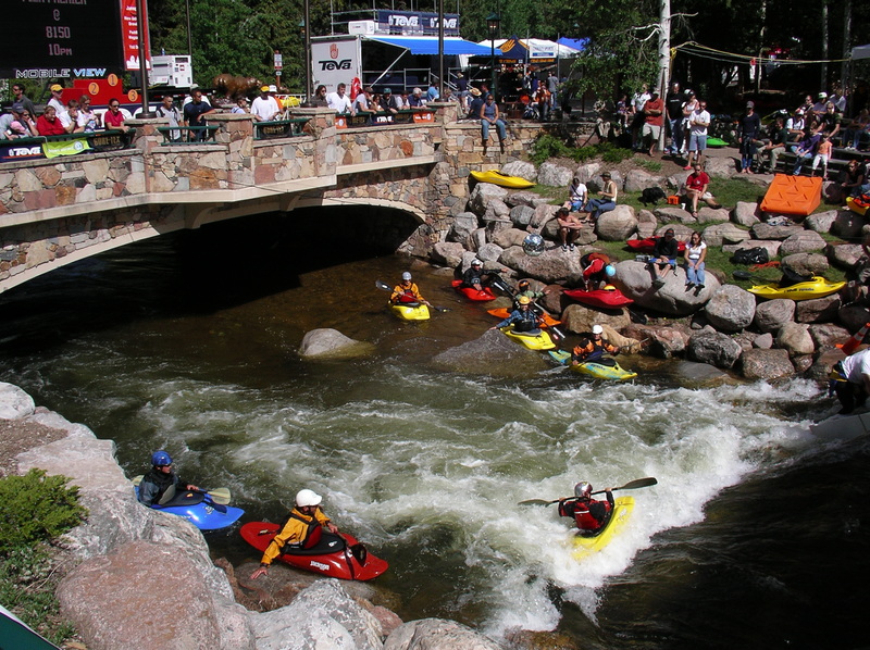
This creek runs right through Vail and there's a great little play spot and rodeo site in the
center of town. Access is relatively straightforward as the creek is paralleled by I-70.
Watch for golf balls in upper part.
Rapids in this Run (1)
Difficulty
Class III-IV
Length
4.5 mi
Gradient
67 ft/mi
Rapids
1
Access Points
Difficulty Classes
I Easy
II Novice
III Intermediate
IV Advanced
V Expert/Extreme
VI Unrunnable
Current Conditions
5-Day Forecast
Whitewater data from
American Whitewater
American Whitewater