02. Numbers Launch to Railroad Bridge Launch
Gauge Conditions
Runnable: 300.0 – 3,500.0 CFS
Runnable: 200.0 – 3,500.0 CFS
Data from American Whitewater & USGS
Run Map
Run Time Estimate
Select put-in and take-out to estimate time.
Plan This Trip
See wind-adjusted speed maps, forecast planning, and detailed time estimates.
Sign in to generate an AI timing estimate for this run.
Whitewater timing varies with scouting, portages, and group pace. Use as a planning baseline.
Description
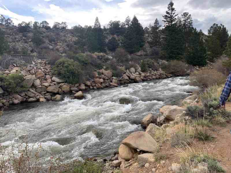
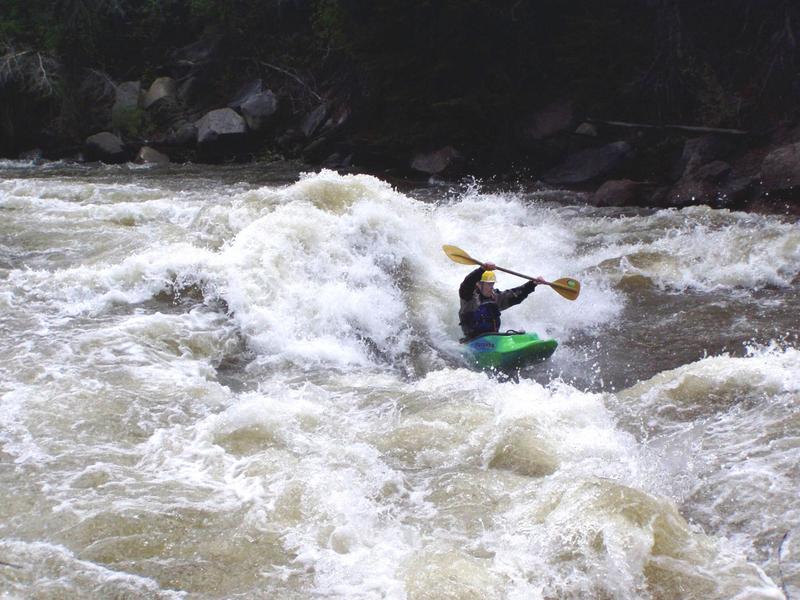
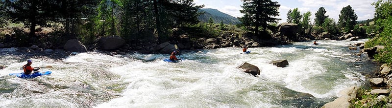
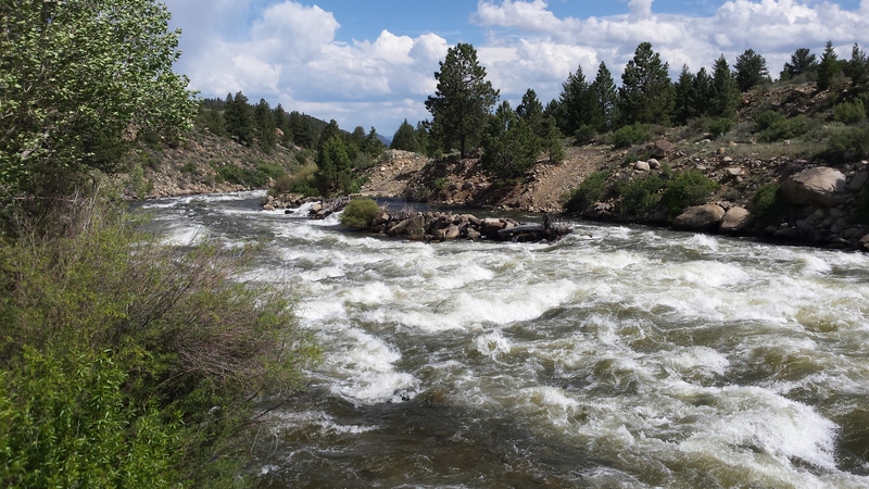
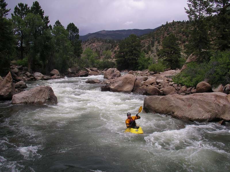
The Numbers is widely considered just about the best Class IV run in the state of Colorado. At low levels, the river channelizes and is fun IV- down to about 300cfs for playboaters. At about 1000cfs the rapids graduate to IV proper, and over 2200cfs they take on a IV+ character.
There are six major Class IV rapids creatively named number 1 through 6, although most takeout shortly after #5. Rapid #1 is the most technical, but #4 and #5 generally have the most carnage. Above 3000cfs, the run takes on a big water character, massive holes abound. At these levels, a powerful 8-foot surfing wave forms at the base of rapid #1.5.
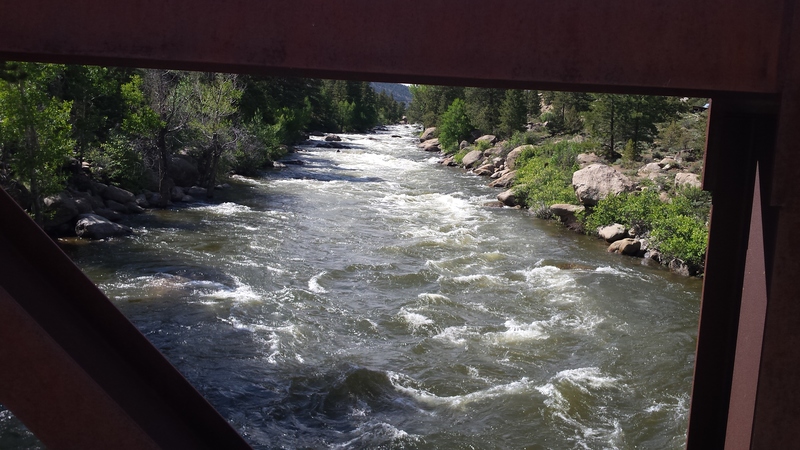
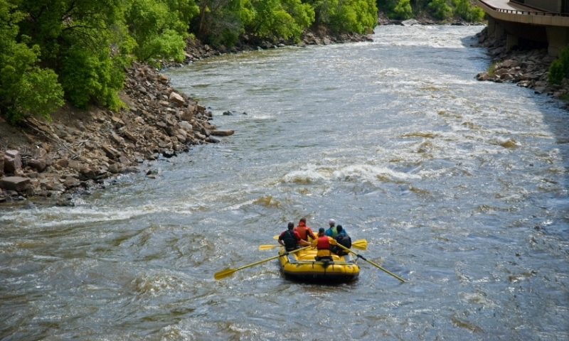
Much of the land on either side of the river is private property, so scouting is most likely illegal. Do what you have to do to be safe. As noted above, most people take out just after #5 where there is an abundance of unofficial takeouts. If the water level is medium to high, consider making the most of a short run and takeout below #6 at the railroad trestle.
Elevations: The river at the launch area is about 8,640 feet, while the take out at the railroad trestle is about 8,247 feet.
Other Information Sources:
_Colorado Rivers and Creeks II_, by Banks and Eckardt _(The Bible)_
See also
Pinecreek (Class IV/V),
The Numbers (Class IV),
Fractions/ Frogrock/ Milkrun (Class III),
Buena Vista (Class III),
Browns Canyon (Class III),
Salida (Class III),
Rincon (Class III),
Pinnacle Rock (Class III),
Royal Gorge (Class III/IV).


Difficulty
Class IV
Length
6.4 mi
Gradient
71 ft/mi
Rapids
11
Access Points
Shuttle Info
**To Get There:** The put-in for the Numbers can be found at Hwy 24 mile 199.9 where a dirt road turns down to the river and Scott's Bridge. Before crossing the bridge turn left headed upstream for about a mile along a road that runs between the river and the railroad tracks. Be prepared to pay a fee for using the launch which is maintained by State Parks.
To get to the takout take Hwy 24 south to mile 201.5 and turn off onto County Road 371. Cross the river and bear right headed downstream along river left. At this point you are now directly next to #5 which is on the downstream side of the bridge. Continuing on down the road you will find a couple of alternative public access sites. For the full run, it's 3.3 miles down this road to the Railroad Bridge access which also has a couple of camp sites.
One alternative for this run is to start out by running the [Pine Creek](http://www.americanwhitewater.org/rivers/id/355/) section.
Difficulty Classes
I Easy
II Novice
III Intermediate
IV Advanced
V Expert/Extreme
VI Unrunnable
Current Conditions
5-Day Forecast
Whitewater data from
American Whitewater
American Whitewater