03. Chiflo Campground to Little Arsenic Trail
Gauge Conditions
Runnable: 300.0 – 3,000.0 CFS
Data from American Whitewater & USGS
Run Map
Description
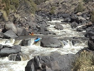
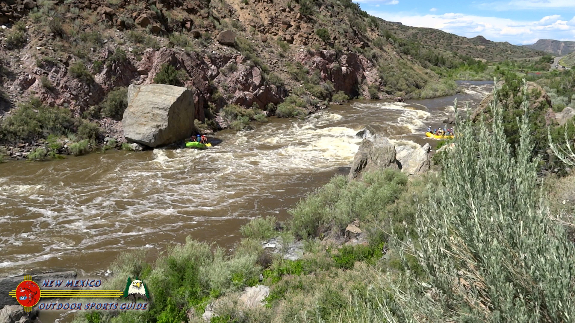
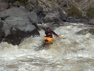
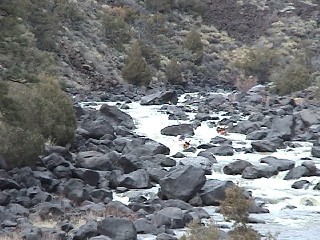
This is truly one of the classic runs in the west. The Taos Box is actually where the Rio Grande has fallen into one of the largest rifts on earth. The entire Taos Box is almost 100 miles long. The Upper Box refers to the 6 mile Class V run from the Chiflo Trail to the Little Arsenic Trail. There is no access at all in between these two points so make sure to bring spare paddles and rescue gear as a hike out in the middle is not an option.
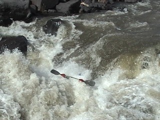
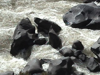
The one major thing you have to watch out for on this run are the sieves, they are everywhere! Some are much worse than others. Don't be fooled by the gradient. This river is the definition of pool-drop and doesn't waste any of its' gradient on easy rapids in between the big rapids. In general the rapids are long technical boulder gardens with lots of sieves. The riverbed is composed of large angular basalt rocks that have fallen from the cliffs above. Keep in mind that this is not Gore Canyon, keep the playboat at home! In fact, this run is always a good solid grade higher in difficulty that Gore at similar levels. The 3 mandatory scouts are NCO, Hell Hole, and Big Arsenic. These rapids have big drops at the entrance, and currents that push hard into sieves below. Swimming is not recommended! Fortunately there is ample opportunity to scout and portage as the cliffs are located high up on the rim, not at river level.
For many the run is defined by the takeout. You have 2 less than appealing options. You can float out on 9 miles of flat water, or take a 45 minute hike to the rim at Little Arsenic Trail. Although the Little Arsenic takeout is by far preferred, it does climb 750 feet up in .8 miles. The best camping is at the end of the takeout trail.
The reaches of the Taos Box area are...
Ute Mountain (Class II),
Razors (Class III/IV),
Upper Box (Class V/V+),
Lower Box (Class III/IV),
Pilar (Class III/IV),
Otowi Bridge (Class III),
Red River (Class IV),
Rio Pueblo (Class V+), and
Rio Embudo (Class V+).
Rapids in this Run (6)
Hazards & Portages (5)
Caution: The following locations may require scouting or portaging. Always check current conditions.

Difficulty
Class V
Length
7.8 mi
Gradient
69 ft/mi
Rapids
6
5 Hazards
Access Points
Difficulty Classes
I Easy
II Novice
III Intermediate
IV Advanced
V Expert/Extreme
VI Unrunnable
Current Conditions
5-Day Forecast
Whitewater data from
American Whitewater
American Whitewater