03. Tunnel Picnic Site to Indian Meadows Bridge Wild
Gauge Conditions
Runnable: ? – ? CFS
Approximate reading: This gauge is 10.3 miles away on Cache La Poudre. Use as a general reference only.
Data from American Whitewater & USGS
Run Map
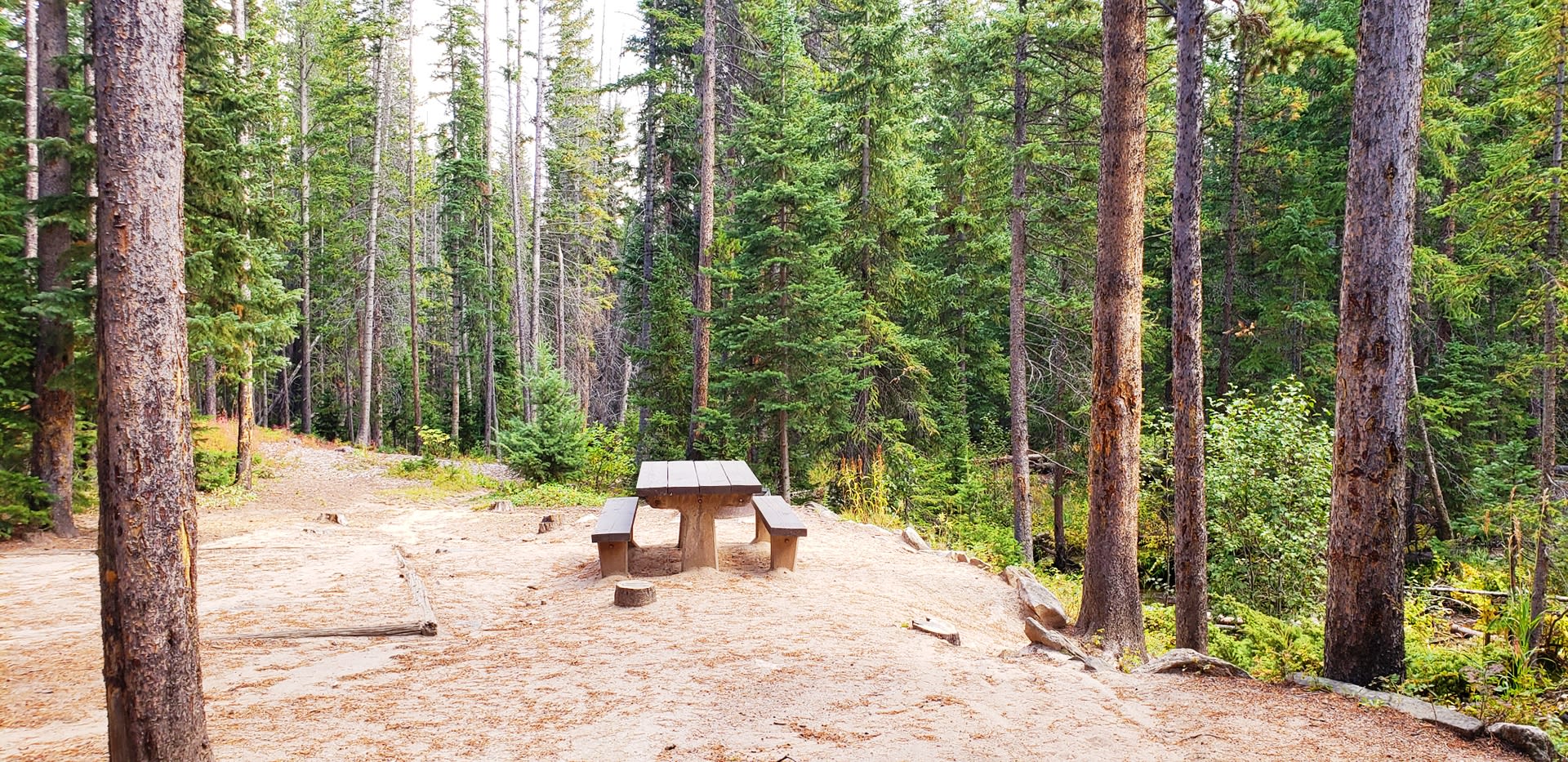
Put-in
Take-out
Rapids/Hazards
Wild
Recreational
Run Time Estimate
Select put-in and take-out to estimate time.
Plan This Trip
See wind-adjusted speed maps, forecast planning, and detailed time estimates.
Sign in to generate an AI timing estimate for this run.
Whitewater timing varies with scouting, portages, and group pace. Use as a planning baseline.
Description
This is a long run that can be divided into shorter sections: from Tunnel Picnic Site to Home Moraine, and from Home Moraine to Indian Meadows Bridge (the Upper Rustic run) but there are multiple roadside access points providing several alternative options.
*Tunnel Picnic Site to Home Moraine*
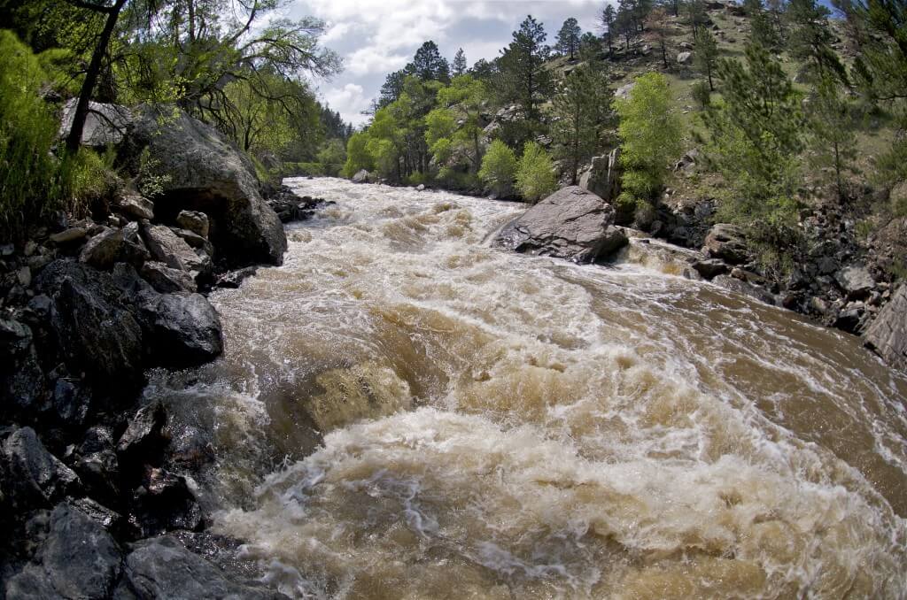
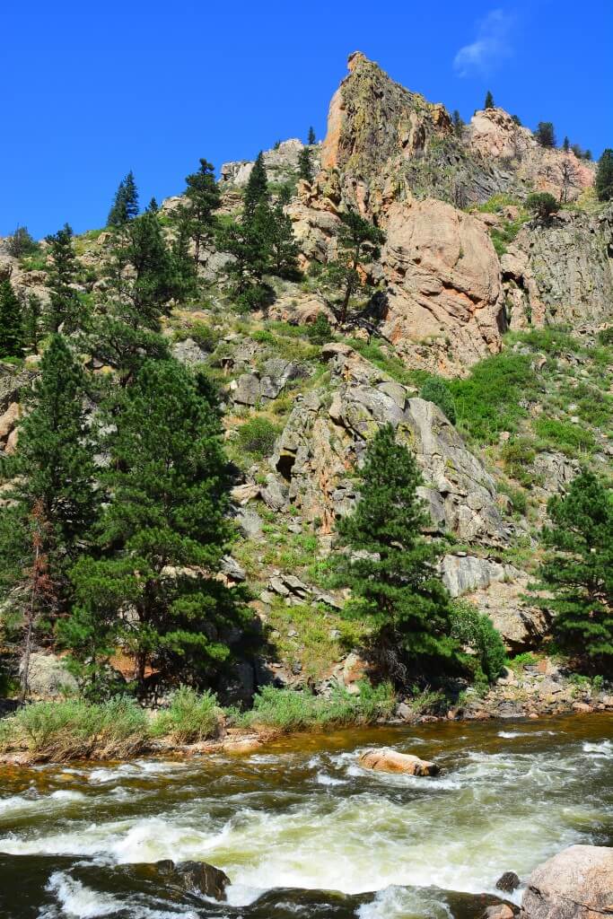
This segment starts out with a fun whitewater for approximately 2.5 miles down to Sleeping Elephant where it mellows a bit. Be aware of the low-head dam just above the fish hatchery another 5 miles downstream that's difficult to spot. At normal water levels, most rapids here are moderate and suitable for intermediate paddlers. The water stays cold year-round in this stretch and throughout the upper river.
The Cameron Peak Fire in 2020 significantly affected the watershed, increasing the likelihood of fallen trees (wood hazards) and landslides along the river.
*Home Moraine to Indian Meadows Bridge (Upper Rustic)*
A fun and energetic Class III run, offering consistent excitement for intermediate paddlers, with the possible exception of the 'White Mile' (more accurately, the 'busy 1/4 mile'). Below here the river mellows considerably. Taking out at Glen Echo Resort in Rustic is an option for those interested in focusing on the best whitewater.
Additional Information: For descriptions of Colorado runs see Whitewater of the Southern Rockies by Stafford and McCutchen, or Colorado Rivers and Creeks by Banks and Eckert. The most reliable flow information, and a calculator for converting CFS to/from the Pineview gauge, is available from the Poudre Rock Report at
Rapids in this Run (3)

Hazards & Portages (1)
Caution: The following locations may require scouting or portaging. Always check current conditions.
Difficulty
Class III-IV
Length
19.0 mi
Gradient
62 ft/mi
Rapids
3
1 Hazard
Access Points
Difficulty Classes
I Easy
II Novice
III Intermediate
IV Advanced
V Expert/Extreme
VI Unrunnable
Current Conditions
5-Day Forecast
Whitewater data from
American Whitewater
American Whitewater