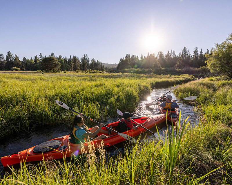
04. Benham Falls to Dillon Falls
Gauge Conditions
Runnable: ? – ? CFS
Approximate reading: This gauge is 0.4 miles away on Deschutes. Use as a general reference only.
Data from American Whitewater & USGS
Run Map
Run Time Estimate
Select put-in and take-out to estimate time.
Plan This Trip
See wind-adjusted speed maps, forecast planning, and detailed time estimates.
Sign in to generate an AI timing estimate for this run.
Whitewater timing varies with scouting, portages, and group pace. Use as a planning baseline.
Description
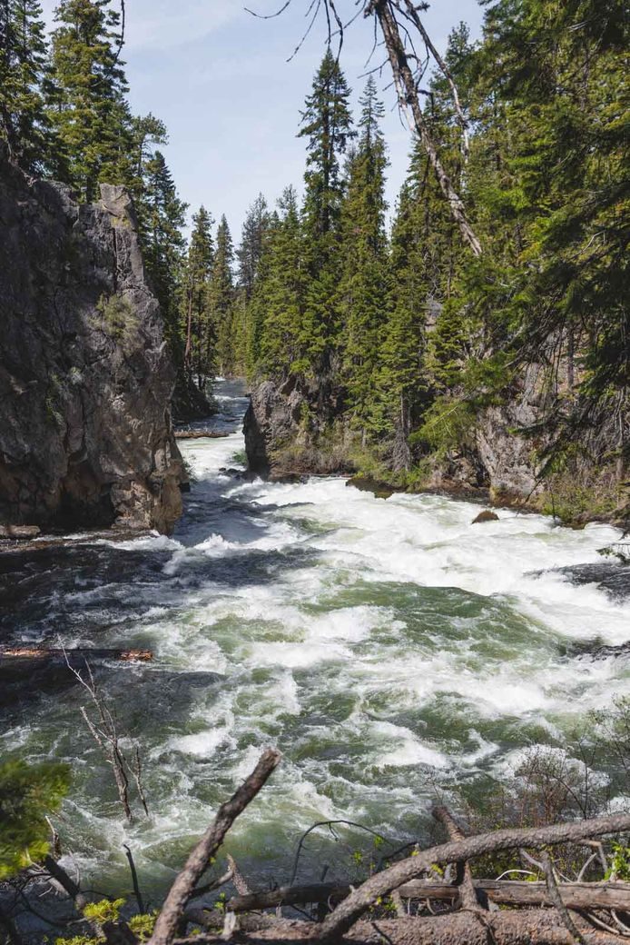
_Benham Falls to Slough Camp, class V, 1.5 miles_
This spectacular section of river formed 7000 years ago when the Lava Butte eruption buried the channel of the Deschutes River in more than 100 feet of lava creating a natural dam. Benham Falls was the outlet from the lake that formed; over time the river cut through the volcanic rock and the lake drained but some impressive whitewater remains.
Benham Falls is a short but steep section of the Deschutes that offers high quality Class IV+ shoulder season boating opportunities (fall/winter). Benham Falls is generally only run when the Deschutes at Benham Falls gag e is below 900-1000 cfs. The most friendly flow is about 600 cfs. The rapid gets more difficult as flows go up and during the summer, when irrigation releases bring the river above 1000 cfs, Benham becomes a challenging Class V section and is rarley run.
The entire section is visible from the trail and careful scouting and setting safety is always a good idea here. The best acsess for boaters is the Benham Falls trailhead on river left located off Century Drive and Rd 41. Paddlers typically hike several laps of the section so there is no shuttle required. Make sure to be respectful of the trail and the area as you gen in and out of the river here.
Scott Baker and Matt King running Benham in a dynamic Duo (high water): https://vimeo.com/53921371
Class III and IV rapids continue for a short distance downstream of Benham Falls as the river flows along the edge of the lava field within Newberry National Volcanic Monument. The river then settles out to class I.
_Slough Camp to Dillon Falls, class I, 1.8 miles_
The short float from Slough Camp to Dillon Falls is class I.
For additional information on recreational opportunities see the Deschutes National Forest web site.
Logistics: The primary access for this section is from river left. Take Highway 372 out of Bend and at mile marker 7.6 turn on to Forest Road 41. At mile 2.6 on Forest Road 41, turn onto Forest Road 4100-600 and continue 0.8 miles to the Dillon Falls Day Use Area marking the end of this section.
To reach Benham Falls, continue on Forest Road 41 to mile 4.0 and turn onto Forest Road 4100-400. At 0.8 miles down Forest Road 4100-400 you will reach the Slough Day Use Area (access for the class I float). At 2.2 miles down Forest Road 4100-400 you will reach the Benham West Trailhead adjacent to the falls. If you are running the falls, hike upstream to find your put-in.
An alternate access to Benham Falls is available on river right. Coming from Bend on Highway 97, turn into the Lava Lands Visitor Center at mile 149.5 (if coming from the south you will need to take Exit 151 to reach the visitor center). From the vistior center drive 4.0 miles down Forest Road 9702 to the Benham Falls East Trailhead. From here it is a 1/2 mile hike across a foot bridge and down to Benham Falls.
Rapids in this Run (1)
Waterfalls (1)
Difficulty
Class IV-V
Length
3.0 mi
Rapids
1
Access Points
Difficulty Classes
I Easy
II Novice
III Intermediate
IV Advanced
V Expert/Extreme
VI Unrunnable
Current Conditions
5-Day Forecast
Whitewater data from
American Whitewater
American Whitewater