04. Indian Meadows Bridge to Lower Narrows Campground Wild
Gauge Conditions
Runnable: ? – ? CFS
Approximate reading: This gauge is 16.2 miles away on Cache La Poudre. Use as a general reference only.
Data from American Whitewater & USGS
Run Map
Put-in
Take-out
Rapids/Hazards
Wild
Recreational
Run Time Estimate
Select put-in and take-out to estimate time.
Plan This Trip
See wind-adjusted speed maps, forecast planning, and detailed time estimates.
Sign in to generate an AI timing estimate for this run.
Whitewater timing varies with scouting, portages, and group pace. Use as a planning baseline.
Description
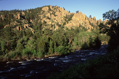
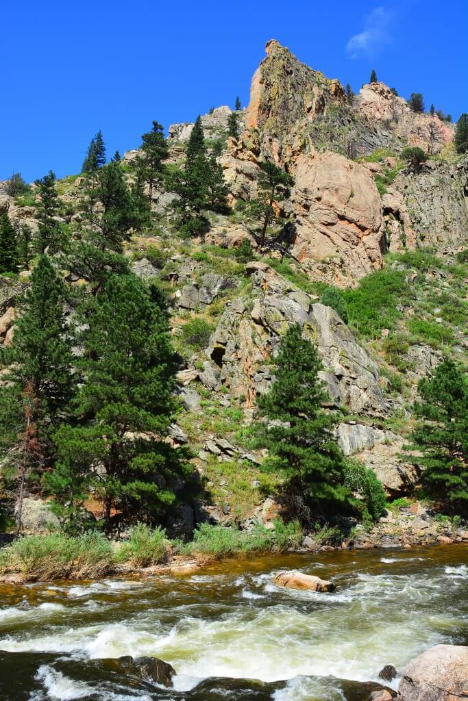
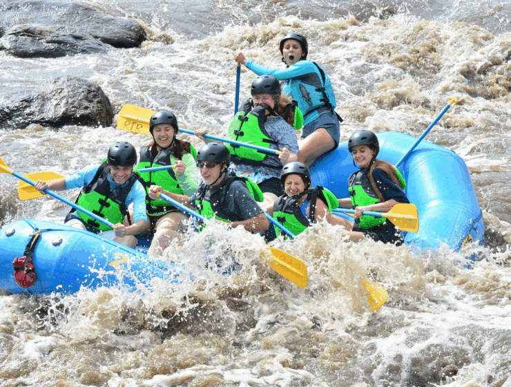
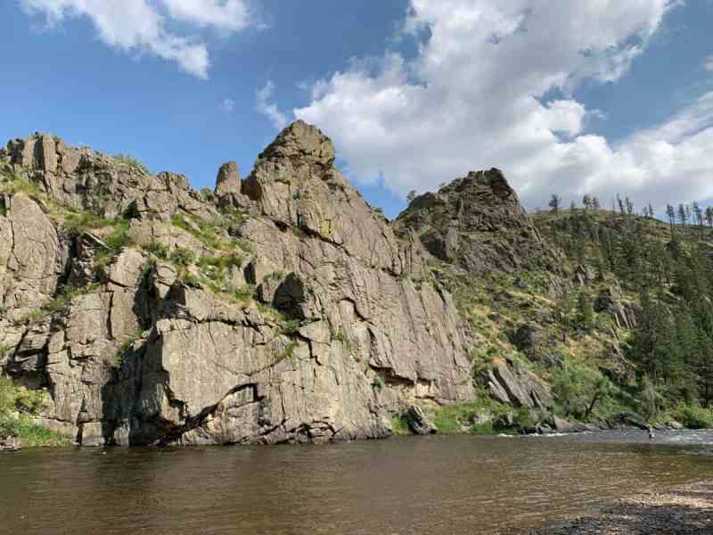
This is an excellent intermediate run at most levels, with a many class 3 drops and a few places where the drops are III+ or IV at moderate and high levels. The first noteworty section is Grandpa's Gorge, which the river enters after crossing under the bridge below Indian Meadows. At moderate to high water, a couple holes in the gorge get sticky - hit them straight and hard or just go around them. Other highlights are the abrupt drop under the bridge just above the Mountain Park campground, a few outstanding surfing waves at the campground, and the two drops below the brige to the campground. The first drop below the bridge is a bit messy, but it has a good (if somewhat thin) line through the middle. A large and tenacious hole forms in the center and right side of the drop at mile marker 99 (which has various dramatic names). Expecially at high water, hit it hard and keep paddling, or just avoid it to the right. You can't see this hole from above, so it's been the source of considerable excitement. At medium flows, there is an exceptional 'beginner play hole' on river right. Also look for the small, but very smooth and eddy-served surfing waves shorty above Century park, where the river merges below an island.
This run is best above 3.5 on the Pineview gauge, and preferably above 4'. At 4' and above, it rolls along nicely without getting overly pushy, but also without any real flatwater.
While most of this run is near the road, it somehow retains the flavor of a run deeper in the woods. Both the upper and lower Rustic runs need a bit more water than those below the narrows, so the season will begin later and end earlier. It's also noticably colder in the upper canyon, and a full day in a play boat up here can be a chilling experience.
To get there: The put-in is the Indian Meadows Low Bridge at mile marker 94. Good take-outs are at the small Century Park picnic area at mile-marker 100, or a bit farther downstream at the Narrows Picnic Area/Campground at mile marker 101.6. As an alternative, strong beginners can put in below the rapid at mm 99 for a short run. This section from mm 99 to Narrows PA/CG is much more interesting than Filter Plant and less difficult than Bridges.
Check out www.allaboutrivers.com description of this reach.
For descriptions of Colorado runs, see Whitewater of the Southern Rockies by Stafford and McCutchen, or Colorado Rivers and Creeks by Banks and Eckert.
The most reliable flow information, and a calculator for converting cfs to/from the Pineview gauge, is available from the Poudre Rock Report at http://www.poudrerockreport.com
Lat/longitude coords are approximate, from TopoZone.
See also,
Big South (Class V/VI),
Joe Wright Creek (Class V),
Spencer Heights (Class V/VI),
South Fork (Class IV/V),
White Mile Run/Upper Rustic (Class III),
Grandpa's Gorge/Lower Rustic (Class III/IV),
The Narrows (Class IV/V/V+),
Upper Mishawaka (Class III/IV),
Lower Mishiwaka (Class III),
Poudre Park (Class IV),
Bridges (Class III/IV),
Upper North Fork (Class IV/V),
Lower North Fork (Class II/III), and
Filter Plant (Class III).

Difficulty
Class III-IV
Length
9.6 mi
Gradient
43 ft/mi
Rapids
5
Access Points
Difficulty Classes
I Easy
II Novice
III Intermediate
IV Advanced
V Expert/Extreme
VI Unrunnable
Current Conditions
5-Day Forecast
Whitewater data from
American Whitewater
American Whitewater