04. Upper Gorge: I-15 at mile 23 to Cedar Pockets Rest Area
Gauge Conditions
Runnable: 250.0 – 5,000.0 CFS
At low water (250 - 600 cfs), the stream has moderate current with some good holes.
Data from American Whitewater & USGS
Run Map
Description
Character of run:
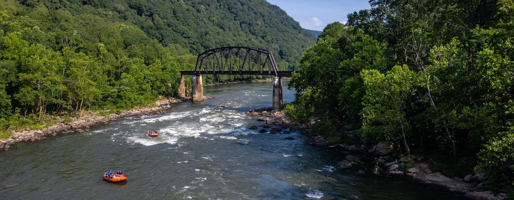
Pools and drops in a spectacular canyon, the Virgin River Gorge is the little sister of the Grand Canyon, 50 miles to the south. The canyon walls are the same geologic sequence as the Grand Canyon (with some variations) and most of the rapids form at canyon mouths, as they do in the Big Ditch. The banks are lined with tamarisk and grape vines. Barrel, paddle, and cholla cactii, century and yucca plants, mesquite, Joshua trees, and an array of desert wildflowers cover the slopes back from the river. Since 1986 the flows from Quail Lake Reservoir have kept water in the channel all summer and the tamarisk growing onto the sandbars have narrowed and deepened the channel in most places, allowing boating on lower flows.. The Virgin Gorge does not have boatable water every year. .At low water (250 - 600 cfs) the stream has moderate current with some good holes. Medium water (700 - 1,500 cfs) has the best kayaking. At high flows (2,000 cfs and up) the current becomes very swift with almost no eddies or calm water, and some boat-flipping holes develop. A swim at high water will probably be a long one. Larger rafts (14 to 16 ft) like this level.
Take out: Most rafter choose to take out at Cedar Pockets Recreation Area. Mile marker 18. As of 2023 there is a day use fee of $2. At pay station turn right to access the lower loop. Most of these sites are online reservation only, so please only park and pay for the first come first serve sites. There are a few single vehicle parking spots. You'll notice a chainlink fence and a steep rocky trail down to accss the river. Pay attention to the large sandstone rock jetting out into the river and the swirling eddy, this will be helpful later when you get here after your run. Most boaters take out just past the rock. While finishing your run, the campground will come into view about a mile before you get to here and while you can exit earlier, this location will be the shortest hike out.
Put in: Most river runners put-in where I-15 crosses the Virgin at mile 23. From Cedar Pockets head Northbound towards mile marker 23. Just before mile marker 23, you'll cross the Virgin River. Look at the small bluff on your right that overlooks the bridge and the river below, this is the parking area. Accessing this parking area is extremely dangerous and has a blind turn off. Vehicles will not be expecting you to stop right here so please make sure there is no traffice behind you. About 200 yards past the bridge crossing the roadcut on your right will drop down to road level and there will be a very small turn off with a 180 turn back around and a small road heading up the hill. Take this small road to the bluff end. Park and find the small trail that heads down through a fence pass through, then walk under the bridge and down to the large debris fan to find a small eddy and beech to launch at.
Another option for the put in is at Man O War bridge in Bloomington. This add between one to two hours depending on the flow but you get to see more of the canyon and is Class II. There is a fish ladder that is a straight 10 foot drop to cement that should be avoided. At low flows you can stop on the side right at the lip and lower your boat down. At high flows you will have to take out well before it. It is almost directly under power lines so plan accordingly.
_Bridge Rapid:_ Immediately below the bridge/Put In, you'll find the first feature. Start center and work your way right to avoid some larger rocks that are below the bridge on river left. At flows below 1500 CFS these rocks will be exposed. At flows above 2000 CFS they form large holes that can flip smaller rafts.
At the first right bend the river has taken a new channel, this is obvious at flows below 2000 CFS but at higher flows the river splits here and will continue straight, taking the wide bend and runs along the cliff face. Take a right at all levels and follow the flow.
The river straightens out an we find out quickly what the rest of this run is going to feel like.
At flows below 1000 CFS this will be a boney bumpy ride as you pick your way through the river avoiding any larger rocks as you go. At flows around 1000-2000 CFS small holes will start to form and you'll notice how quickly they sneak up on you. At flows above 2500 CFS the smaller holes will blow out and this will just be a wave train down. Most rapids in the gorge start out like this and eventually funnel into a restriction and a tight turn to avoid a wall shot then there will be some squirrely water as the river figures out which way to go. There is a large rock that is at the start of this splashy section on river left. It is exposed below 3500 and will swallow smaller rafts above 4000 CFS.
_Table Top:_ After that splashy straight away and quick left turn along a wall you'll find yourself heading into the next rapid known as table top. This has several submerged boulders scattered throughout the river channel. There is large submerged flat rock bottom center that forms a large hole at flows above 1000 CFS. This will flip smaller boats at flows above 1500 CFS. To avoid these holes you can skirt the rivers edge on your left.
After a few more bend the river turns back and heads closer to the freeway, you'll get close to it and notice a large drainage culvert, then the river takes a left turn and heads back out away from the freeway again. A splashy decent leads you straight into a wall with a tight turn to the right. A half a mile down is Keyhole Rapid.
_Keyhole Rapid:_ This rapid is on broad 90 degree right turn. The freeway will be in view again and some large sandstone cliffs are now in view off in the distance. You'll notice a break in the canyon on your left with a debris fan dumping into the river. This forms Keyhole rapid. The river will have an abrupt drop here. The left side is full of large boulders. Stay right and ride the wave train down. This has some of the largest waves on the river.
_Haystack Rapid:_ You'll once again come near the freeway and be right next to a man made concrete and boulder fill slope for the freeway above. The river will constrict again as you make a slow left turn. This leads right into haystack rapid. A few hard to miss holes lead right into a large standing wave at the bottom of this at flows above 1000 CFS. Go big and be ready to take a hard left turn to avoid the large, 'rock of shock' waiting for you at the bottom. This rock can cause some concerns for swimmers.
The next few bends are a mix of small rapids, holes and wall shots which then lead into a ledgy limestone canyon. The canyon walls will restrict and be more intimate now.
_Aztec Rapid:_ A half mile into this canyon Aztec Rapid appears from debris deposited from the hanging canyon on your left. Straight forward rapid blow 1500 CFS. At higher flows above 1500 CFS you can skirt the left side and avoid the big waves that run the center of this rapid.
As the canyon ends, Grand Wash Fault crosses the river and the canyon opens back up.
_Go-for-the-Hole Rapid:_ Another outwash boulder field with several good holes.
_Tree Rapid:_ A move to the inside of a right-hand bend with a lonely juniper sitting on the sandstone cliff are in the next mile. A swath of Joshua trees covers the slopes on both sides of the river here.
A couple of miles of riffles, gravel bars, and some surf holes lead to the rest area take-out.
At flows above 1000 CFS the final 1/2 mile will be a splashy decent through a tamarisk choked corridor which leads to a large swirling eddy that is your take out.
Other Sections of the Virgin:
Virgin, N. Fork— Sinawava to South Campground (Zion NP) Utah
Virgin— 1) South Campground (Zion NP) or Springdale to Virgin Utah
Virgin— 2) Timpoweap Canyon: Virgin to LaVerkin Utah
Virgin— 3) LaVerkin to Hurricane Utah
Virgin— 5) Lower Gorge: I-15 at Cedar Pockets Rest Area to Littlefield Arizona
Other Information Sources:
Virgin River Campground BLM area.
Virgin River Runners Coalition
Falcon Guide description of I-15 at Weather.com
Virgin River Gorge; Boundary between the Colorado Plateau and the Great Basin in northwestern Arizona - Geology Society article. Abstract \| PDF (723K)


Difficulty
Class III
Length
6.2 mi
Gradient
30 ft/mi
Rapids
7
Access Points
Difficulty Classes
I Easy
II Novice
III Intermediate
IV Advanced
V Expert/Extreme
VI Unrunnable
Current Conditions
5-Day Forecast
Whitewater data from
American Whitewater
American Whitewater