05. Burns to Dotsero
Gauge Conditions
Runnable: 800.0 – 8,800.0 CFS
Acceptable flow range - no maximum identified (Flows based on 2012 WFET Basin Report).
Data from American Whitewater & USGS
Run Map
Run Time Estimate
Select put-in and take-out to estimate time.
Plan This Trip
See wind-adjusted speed maps, forecast planning, and detailed time estimates.
Sign in to generate an AI timing estimate for this run.
Whitewater timing varies with scouting, portages, and group pace. Use as a planning baseline.
Description
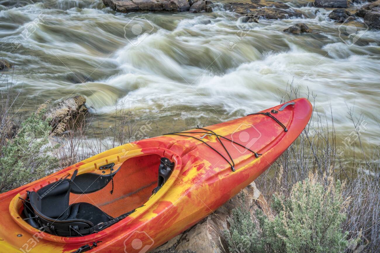
Usually associated with optimal Burns hole levels, this run is likely a park and play for most kayakers. This feature is not worth a big drive, rather, if you are en-route to other nearby attractions, Burns could dial in a session. Great 3-day trip for beginner packrafters (we hitchhiked) or intermediates who like solitude/scenery.
Scene of a few rodeos and epic beat downs, Burns has potential for good surf, and is otherwise a Class II section.
Playspots (1)
Difficulty
Class II(III)
Length
24.9 mi
Rapids
0
Access Points
Shuttle Info
Strangely, Google Maps takes you on a roundabout route. It's an interstate, which is easy and gives high speed, but Google says it's a _longer drive_ than the [Shuttle by Colorado River Road](http://tinyurl.com/ShuttleByColoradoRRoad). Pick your shuttle, and enjoy!
Difficulty Classes
I Easy
II Novice
III Intermediate
IV Advanced
V Expert/Extreme
VI Unrunnable
Current Conditions
5-Day Forecast
Whitewater data from
American Whitewater
American Whitewater