05. Slickrock to Bedrock
Gauge Conditions
Runnable: 800.0 – 5,000.0 CFS
These flows are for rafts - other crafts may enjoy flows outside this range (See Dolores 2011 Flow-Evaluation Report for more information).
Data from American Whitewater & USGS
Run Map
Run Time Estimate
Select put-in and take-out to estimate time.
Plan This Trip
See wind-adjusted speed maps, forecast planning, and detailed time estimates.
Sign in to generate an AI timing estimate for this run.
Whitewater timing varies with scouting, portages, and group pace. Use as a planning baseline.
Description
FUN FACT: Some sections of beautiful desert scenery.
SEASON: April to early June depending on snowpack and release from McPhee Dam.
ISSUES: Recreational users have traditionally been the last to be considered in the management plan for McPhee Dam. A proposal to construct additional diversions designed to capture even more of the spring melt will only make the situation worse. Check with the Dolores River Boating Advocates for the latest information on this issue.
LOGISTICS: To reach the put-in, take Highway 141 to the bridge across the Dolores at Slickrock. There is a launch site downstream river left of the bridge. This is private property. The landowner allows river access and parking for $10 a day. The first 15 miles or so of this section pass through mostly private ranch lands so this section is less frequently paddled unless its part of a long multi-day trip. A common and alternate launch at the Gypsum Valley Boat Ramp is near the end of this first part and just above the point where the river enters Slick Rock Canyon. You can reach it by taking Highway 20 off Highway 141. The take-out at Bedrock is on river left just upstream of the Highway 90 Bridge.
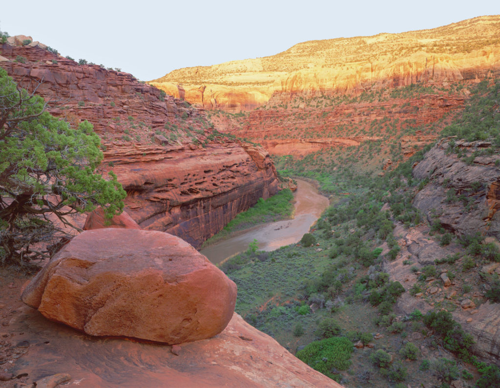
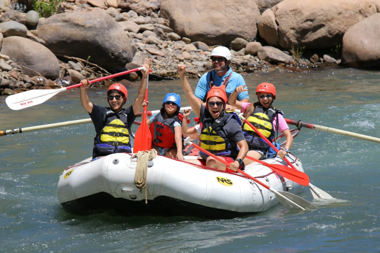
DESCRIPTION: This section of the Dolores starts with a mellow float through ranch land before entering Slick Rock Canyon which contains a few easy rapids. You're not going on this run for the whitewater action, but rather the beautiful scenery, desert campsites, and side canyon hikes. That being said there are still a couple of spots where solid intermediate paddling skills are required, and once you're committed to this remote canyon opportunities to exit are limited. While McPhee dam upstream limits the days you can float this river its still a great desert river trip. Low flows have caused encroached vegetation making eddying out and getting to camp somewhat difficult. The Dolores is managed by the BLM and they maintain a web page with information on the river. Although permits are not currently required, you will still need your firepan, portable toilet, and dishwater strainer.
From the Slickrock Launch at mile 47 the river winds through ranch land and the short Little Glen Canyon. It's mostly a mellow float but there's some beautiful desert scenery that displays a sharp contrast for those who have floated down from the upper sections of the river. Campsites are very limited in this first section (although there are a couple) and much of the land is private. The bugs can be pretty bad in early spring so if you've got raft support bring the bug tent. Once you pass the Gypsum Valley Launch (mile 61) it's only a couple miles until you pass under a bridge and enter Slickrock Canyon. This is a wilderness study area and there are several opportunities for great side hikes, several of which lead to Ancestral Puebloan rock art. Although the river flows through a constrained canyon there is some good camping, but if you're on the river with good flows on weekends during dam releases you'd better grab your site early. When setting up camp or setting off on a side hike keep your eyes open for poison ivy.
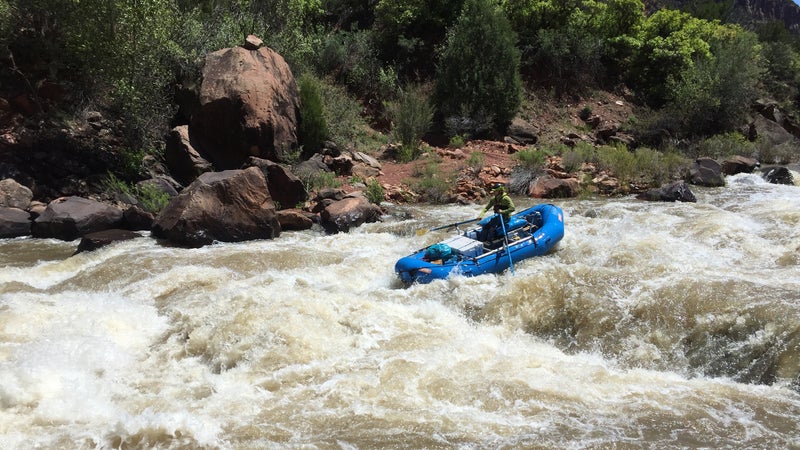
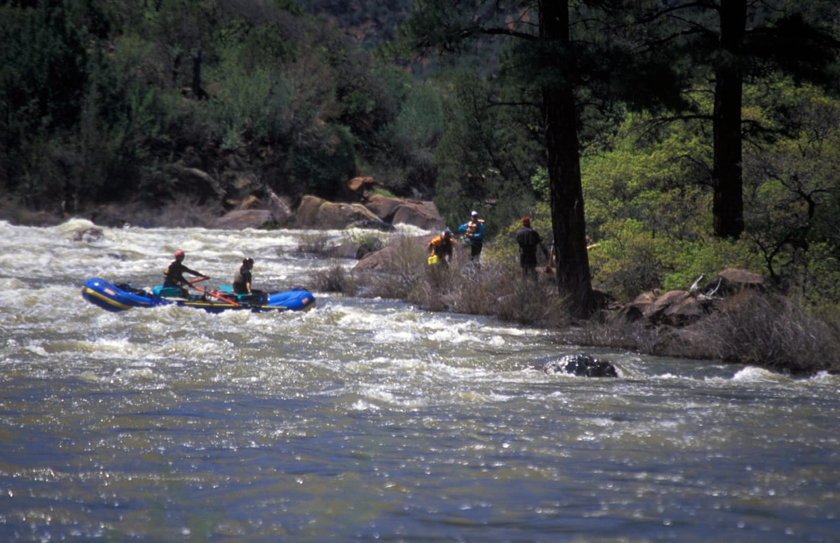
The best whitewater comes near the end where you get some decent class III rapids as you approach the take-out. Before passing under the Highway 90 Bridge you'll find an access on river left that serves as a take-out.
Boaters can start from further upstream or continue their trip downstream by taking advantage of boating opportunities on the following sections of the Dolores and Colorado:
- 1) Dolores River, Bradfield Launch to Dove Creek Pump Station, 19 miles, II-III
- 2) Dolores River, Dove Creek Pump Station to Slickrock, 28 miles, II-III+(IV)
- 3) Dolores River, Slickrock to Bedrock, 50 miles, this page
- 4) Dolores River, Bedrock to Gateway, 44 miles, II+
- 5) Dolores River, Gateway to Colorado River, 30 miles, II+(IV)
- 6) Colorado River, Cisco to Moab, 47 miles, I-III
- 7) Colorado River, Moab to Lake Powell (Cataract Canyon), 112 miles, I-IV


Difficulty
Class II+(III)
Length
49.0 mi
Gradient
10 ft/mi
Rapids
8
Access Points
Difficulty Classes
I Easy
II Novice
III Intermediate
IV Advanced
V Expert/Extreme
VI Unrunnable
Current Conditions
5-Day Forecast
Whitewater data from
American Whitewater
American Whitewater