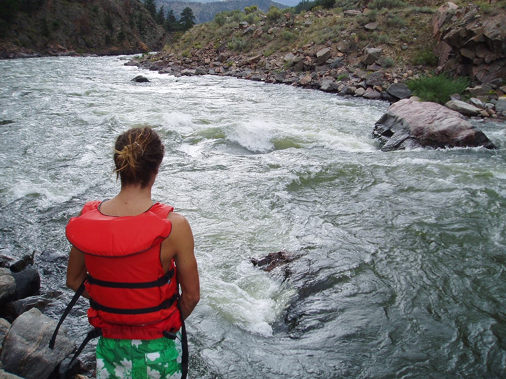
06. Alamosa to Lasauses
Gauge Conditions
Runnable: ? – ? CFS
Approximate reading: This gauge is 19.3 miles away on Rio Grande. Use as a general reference only.
Data from American Whitewater & USGS
Run Map
Run Time Estimate
Select put-in and take-out to estimate time.
Plan This Trip
See wind-adjusted speed maps, forecast planning, and detailed time estimates.
Sign in to generate an AI timing estimate for this run.
Whitewater timing varies with scouting, portages, and group pace. Use as a planning baseline.
Description
Alternate Launch site:
County Road Z: Instead of ending this segment in Lasauses, many boaters choose to take out at County Road Z. There is an unimproved access ramp on river left just upstream of the County Road Z bridge.
There are three known hazards on this segment:
1) Westside ditch diversion dam is not passable regardless of flow. Boaters must portage around. Coordinates: 37.467427, -105.855967
2) Chicago ditch diversion dam is not passable regardless of flow. Boaters must portage around. Coordinates: 37.460512, -105.841062
3) County Rd Z bridge is hazardous at higher flows, although no specific flow threshold has been identified. Coordinates: 37.306702, -105.738562
Hazards & Portages (1)
Caution: The following locations may require scouting or portaging. Always check current conditions.
Difficulty
Class II
Length
20.1 mi
Gradient
15 ft/mi
Rapids
0
1 Hazard
Access Points
Difficulty Classes
I Easy
II Novice
III Intermediate
IV Advanced
V Expert/Extreme
VI Unrunnable
Current Conditions
5-Day Forecast
Whitewater data from
American Whitewater
American Whitewater