06. Stone Bridge to Salida
Gauge Conditions
Runnable: 300.0 – 5,000.0 CFS
Low-moderate to high-moderate flow.
Data from American Whitewater & USGS
Run Map
Run Time Estimate
Select put-in and take-out to estimate time.
Plan This Trip
See wind-adjusted speed maps, forecast planning, and detailed time estimates.
Sign in to generate an AI timing estimate for this run.
Whitewater timing varies with scouting, portages, and group pace. Use as a planning baseline.
Description
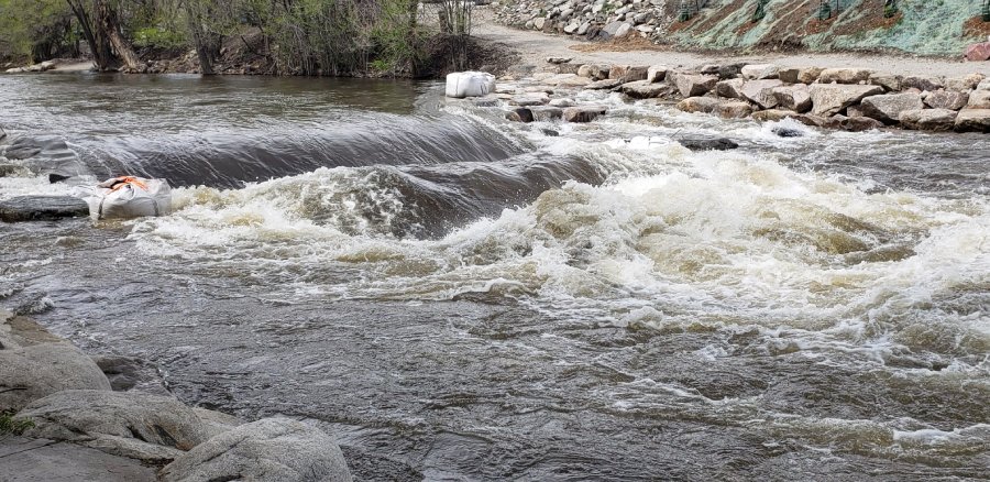
Most of the action on this stretch occurs in the town of Salida at the F Street Bridge.
It's a great place to hook up with local paddlers or get in some quick park and play. In
recent years this section of river has been significantly cleaned up and enhanced. It's the
site of a slalom course, play features, and a great beginner training site. This is also the
site of FIBArk, the nation's longest running whitewater festival.
For additional information on the background behind these projects check out the Arkansas River Trust website.
Logistics: The section from Stone Bridge to Rincon is not typically run as a single trip,
as there a few different access points that allow you to customize your trip. The Stone
Bridge is located at the north end of Highway 291 just before its junction with
US 285. The access is on river right on the upstream side of the Highway 291 Bridge. Big
Bend is an access 3.1 miles downstream on river right and can be reached off US
285\. The Salida F Street Bridge access is located where Highway 291 crosses F Street in
the middle of town. From this intersection follow F Street a couple blocks towards the
river. This access is 9.3 miles downstream from Stone Bridge. Salida East access makes
a good alternative for a beginner trip starting in Salida. Spend some time warming up at
the bridge and continue 2.5 miles to this access on river right. This access is off Highway
50 downstream of the intersection with Highway 291. The Rincon access is at Highway
50 mile 231.1 and 18.7 miles downstream from the Stone Bridge and a short distance
upstream of the Howard Creek confluence.
See _Colorado Rivers and Creeks II_, by Banks and Eckardt _(The Bible)_, for
info on this and most of the other kewl runs of Colorado.
Lat/longitude coords are approximate, from TopoZone.
See also Pinecreek
(Class IV/V),
The Numbers (Class IV),
Fractions/ Frogrock/ Milkrun (Class III),
Buena Vista (Class III),
Browns Canyon (Class III),
Salida (Class
III),
Rincon (Class
III),
Pinnacle Rock (Class III),
Royal Gorge (Class III/IV).
Rapids in this Run (1)
Difficulty
Class II-III
Length
9.5 mi
Rapids
1
Access Points
Difficulty Classes
I Easy
II Novice
III Intermediate
IV Advanced
V Expert/Extreme
VI Unrunnable
Current Conditions
5-Day Forecast
Whitewater data from
American Whitewater
American Whitewater