08. Iron Gate to Sarah Totten CG
Gauge Conditions
Runnable: 500.0 – 50,000.0 CFS
Data from American Whitewater & USGS
Run Map
Run Time Estimate
Select put-in and take-out to estimate time.
Plan This Trip
See wind-adjusted speed maps, forecast planning, and detailed time estimates.
Sign in to generate an AI timing estimate for this run.
Whitewater timing varies with scouting, portages, and group pace. Use as a planning baseline.
Description
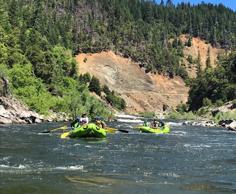
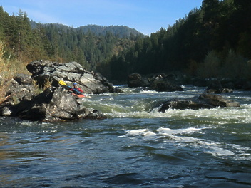
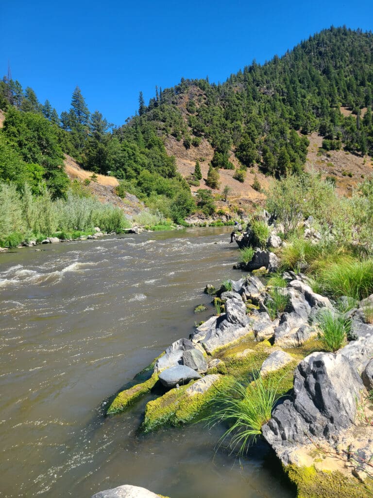
This section of the river begins just below the site of the Iron Gate Dam, which was removed in 2024, and contines through rural residential areas and ranch land before crossing under Interstate 5 and entering the Klamath National Forest at Ash Creek. It is along this reach that the river exits the Cascade Range and begins its long journey through the Klamath Mountains. Upon entering the Klamath Mountains, the river canyon becomes more forested and there are only a few homes and settlements along its course. A number of access points allow for day trips or a longer multi-day adventure. The run is roadside but traffic tends to be light along the roads that parallel this stretch.
Before the four hydroelectric dams upstream were removed in 2024, this section of the Klamath was plagued with blue-green algae originating in the reservoirs behind the dams. The algae released a toxic substance, microcyctin, after it died and began to decay. It was a serious public health issue most summers, and sometimes the river was posted with health advisories all the way to the ocean. Dam removal will considerably improve the water quality on this section and likely eliminate the algal toxins entirely (check current conditions and alerts).
*Iron Gate to Tree of Heaven (18 miles with intermediate access points, Class I/II)*
From Iron Gate down to Ager Road the river passes through rural residential areas and ranch land on a stretch that is utilized by fishermen. Over the next few miles the river winds through Hornbrook and under Interstate 5 and then parallels Highway 96 that continues down the Klamath River.
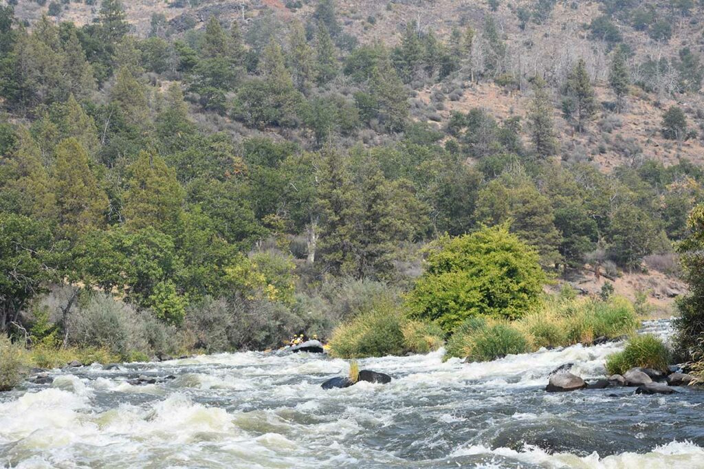
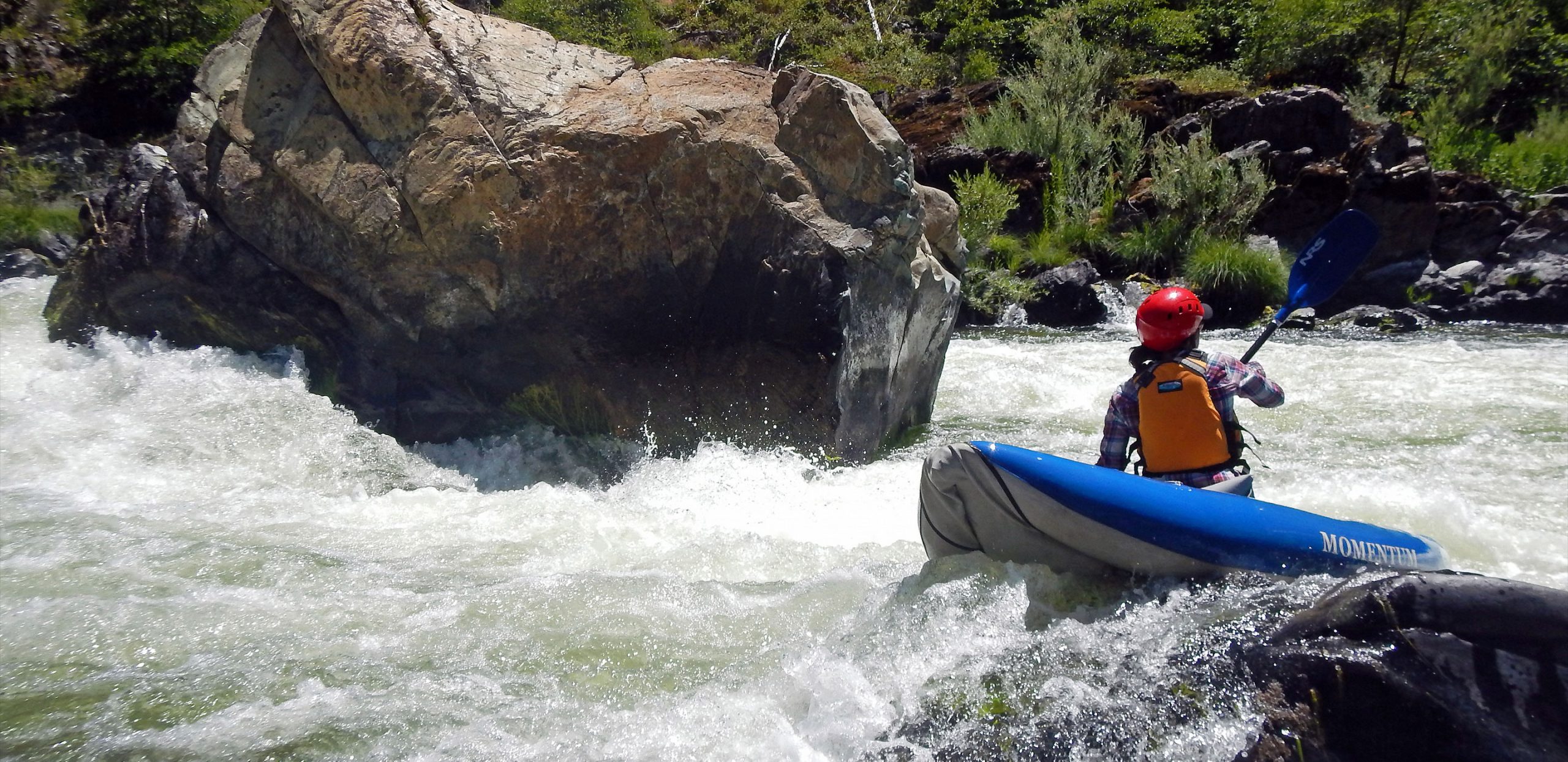
*Tree of Heaven to Gottville (6 miles, Class II-III)*
The Klamath River enters the Klamath National Forest a few miles upstream of Tree of Heaven Campground. The run from Tree of Heaven to Gottville is a very good beginner run with many Class II rapids, three Class II+ rapids, and one Class III- rapid at Lumgrey Creek. It is also home to the Schoolhouse Wave, a favorite summer playspot sometimes accessed as park-n-play. It's located just downstream of milepost 93.5 where you will find space for a couple cars and a short trail to the river. Friendly flows for Schoolhouse are 900 to 1,150 cfs (Iron Gate gage reading plus Shasta River flow). It may be a narrow range but most summers it's in from July through September. In dry years the flow may not be optimal for the wave by mid summer.
*Gottville to Brown Bear Access (15 miles, Class I-II)*
A handful of Class II rapids through a forested river corridor with some residential development and an intermediate access point at Funny Girl, just upstream of Quigley's General Store.
*Brown Bear Access to Sarah Totten Campground (8.5 miles, Class I-II(III))*
Only one Class II rapid at Cabin Rapid and a Class III at the end at Tom Martin Creek. The final rapid can be avoided if you take out at Blue Heron.
Other information sources:
Klamath National Forest website (Google Earth map of rapids, access points, and campsites)
CaCreeks
Wikipedia
Rapids in this Run (23)
 Rapid
Rapid
Ager Road Bridge Access
 Rapid
II
Rapid
II
Rapid
 Rapid
Rapid
Collier River Access at I-5 Bridge
 Rapid
Rapid
Snag Hole River Access
 Rapid
II
Rapid
II
Ash Creek Rapid
 Rapid
Rapid
Ash Creek River Access
 Rapid
II
Rapid
II
Badger Creek Rapid
 Rapid
II
Rapid
II
A Frame Rapid
 Rapid
Rapid
Tree of Heaven Campground & River Access
 Rapid
II
Rapid
II
Humbug Rapid
 Rapid
Rapid
Cayuse River Access
 Rapid
Rapid
Skeahan Bar River Access
 Rapid
II
Rapid
II
Dutch Creek (aka Kanaka Bar or Zig Zag) Rapid
 Rapid
II
Rapid
II
Schoolhouse Rapid
 Rapid
III
Rapid
III
Lumgrey Creek (aka Honolulu) Rapid
 Rapid
Rapid
Gottville River Access
 Rapid
II
Rapid
II
Rapids
 Rapid
Rapid
Funny Girl River Access
 Rapid
Rapid
Brown Bear River Access
 Rapid
II
Rapid
II
Cabin Rapid
 Rapid
Rapid
Blue Heron River Access
 Rapid
II
Rapid
II
Rapid
 Rapid
III
Rapid
III
Lens Crafters Rapid
Difficulty
Class I-II
Length
49.0 mi
Gradient
13 ft/mi
Rapids
23
Access Points
Difficulty Classes
I Easy
II Novice
III Intermediate
IV Advanced
V Expert/Extreme
VI Unrunnable
Current Conditions
5-Day Forecast
Whitewater data from
American Whitewater
American Whitewater