08. Poudre Park Picnic Site to below Pineview Falls Wild
Linked via: Proximity 100% confidence Synced 6mo ago
Gauge Conditions
Runnable: ? – ? CFS
Approximate reading: This gauge is 15.2 miles away on Cache La Poudre. Use as a general reference only.
Data from American Whitewater & USGS
Run Map
Put-in
Take-out
Rapids/Hazards
Wild
Recreational
Run Time Estimate
Select put-in and take-out to estimate time.
Unlock Advanced Trip Planning
See wind-adjusted speed maps, forecast planning, and detailed time estimates.
Sign in to generate an AI timing estimate for this run.
Whitewater timing varies with scouting, portages, and group pace. Use as a planning baseline.
Description
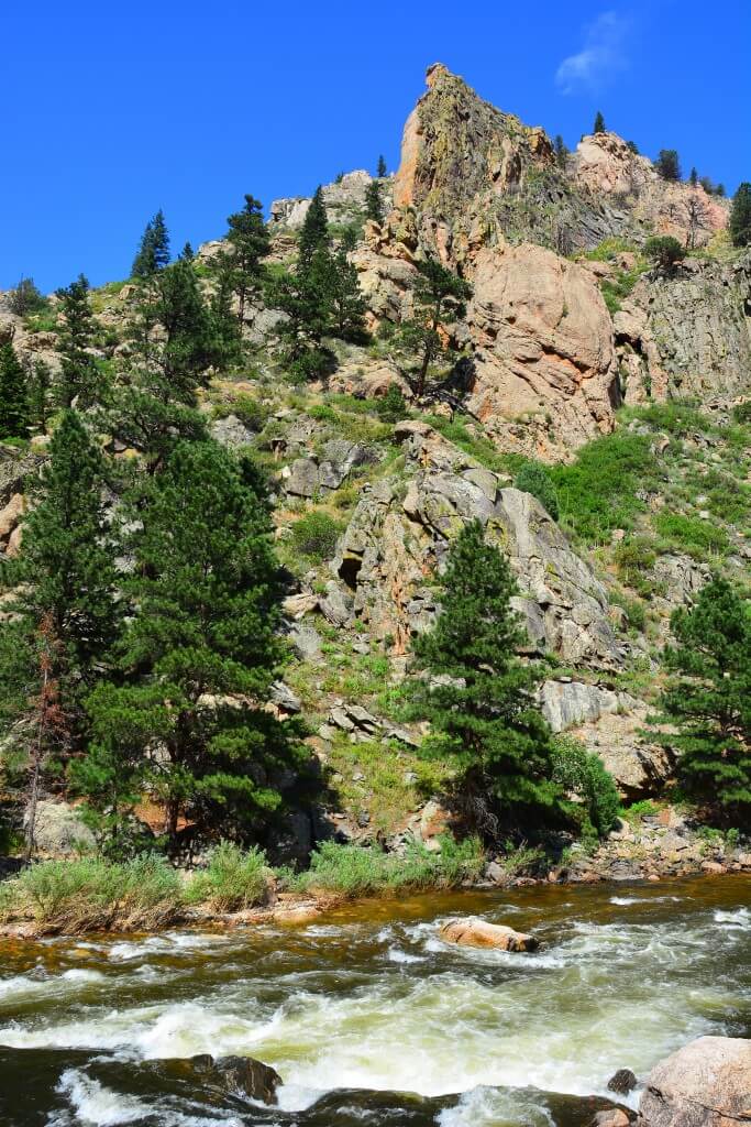
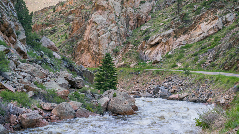
This reach of the Poudre River flows through the community of Poudre Park and there are several bridges that you will need to avoid.
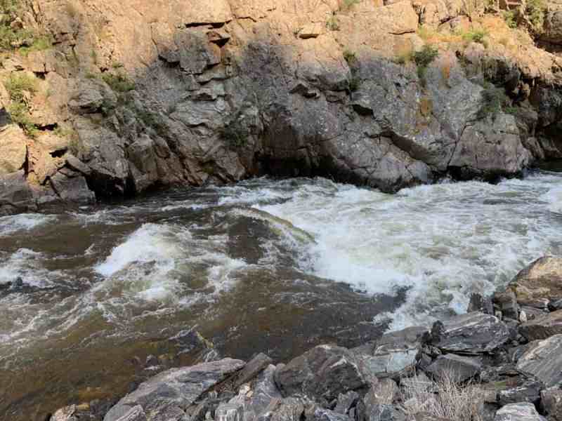
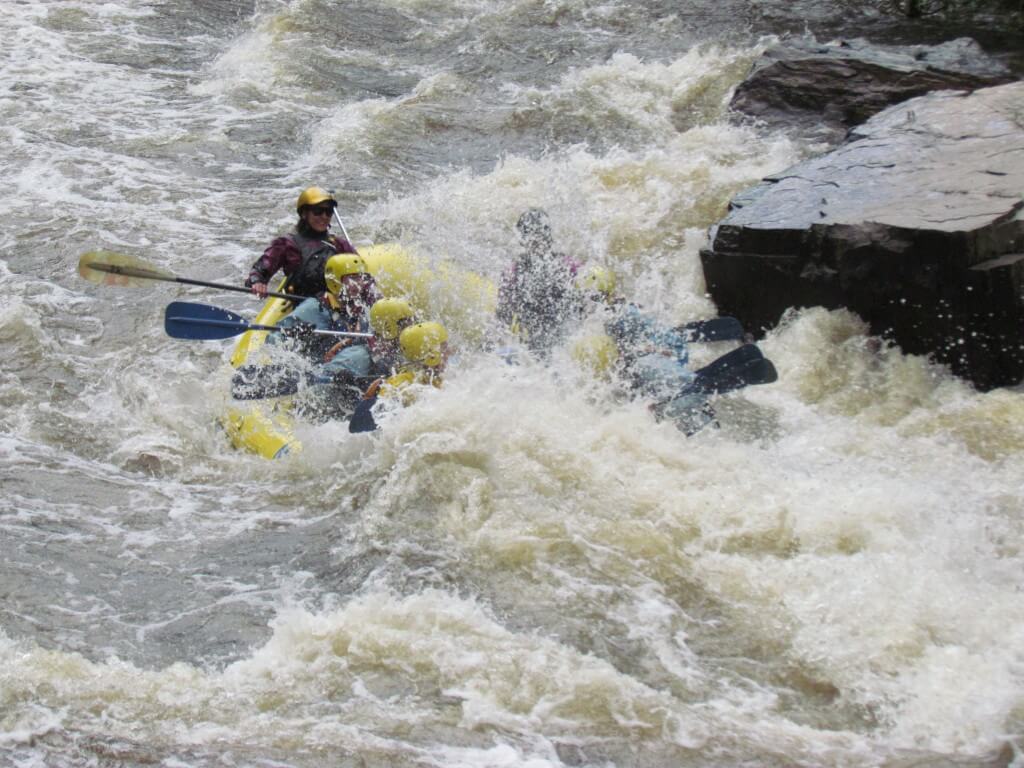
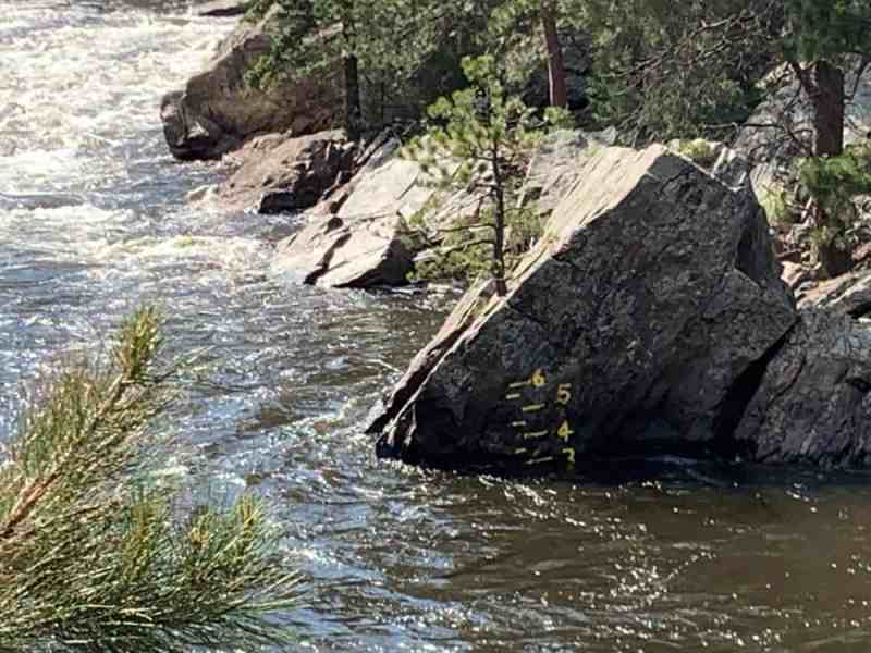
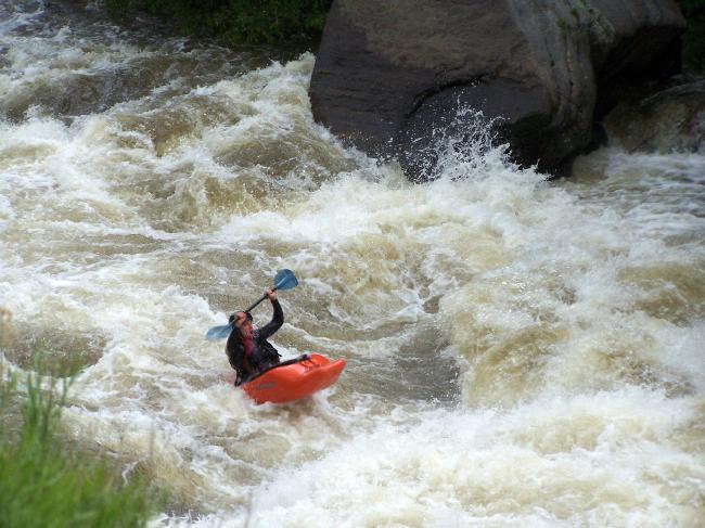
The two largest rapids are in the last mile just above the takeout. The first is Cardiac Corner (IV), which boats easier than it looks like from upstream. This rapid cannot be seen from the road, and it has a scary looking overhanging/undercut rock at the bottom, and it tends to intimidate intermediates and paddlers who float into it unaware. Shortly downstream is Pineview Falls (IV), just upstream of the falls on river left is the Poudre River Pineview gauge. This gauge is hand-painted on a rock on river left above Pineview Falls. A local boater reads the gauge and posts it on his website at www.poudrerockreport.com most mornings during the boating season. Pineview Falls has a couple of large holes, so pick your line carefully and hang on for the ride! Above 4', Pineview is a powerful rapid and the big hole is best avoided by a right to left line.
For descriptions of Colorado runs, see Whitewater of the Southern Rockies by Stafford and McCutchen, or Colorado Rivers and Creeks by Banks and Eckert.
See also: Big South (Class V/VI), Joe Wright Creek (Class V), Spencer Heights (Class V/VI), South Fork (Class IV/V), White Mile Run/Upper Rustic (Class III), Grandpa's Gorge/Lower Rustic (Class III/IV), The Narrows (Class IV/V/V+), Upper Mishawaka (Class III/IV), Lower Mishiwaka (Class III), Poudre Park (Class IV), Bridges (Class III/IV), Upper North Fork (Class IV/V), Lower North Fork (Class II/III), and Filter Plant (Class III).

Difficulty
Class III-IV+
Length
2.3 mi
Gradient
67 ft/mi
Rapids
8
Access Points
Difficulty Classes
I Easy
II Novice
III Intermediate
IV Advanced
V Expert/Extreme
VI Unrunnable
Current Conditions
5-Day Forecast
Whitewater data from
American Whitewater
American Whitewater