09. Below Pineview Falls to Bridges Take-out Wild
Gauge Conditions
Runnable: ? – ? CFS
Approximate reading: This gauge is 13.5 miles away on Cache La Poudre. Use as a general reference only.
Data from American Whitewater & USGS
Run Map
Put-in
Take-out
Rapids/Hazards
Wild
Recreational
Run Time Estimate
Select put-in and take-out to estimate time.
Plan This Trip
See wind-adjusted speed maps, forecast planning, and detailed time estimates.
Sign in to generate an AI timing estimate for this run.
Whitewater timing varies with scouting, portages, and group pace. Use as a planning baseline.
Description
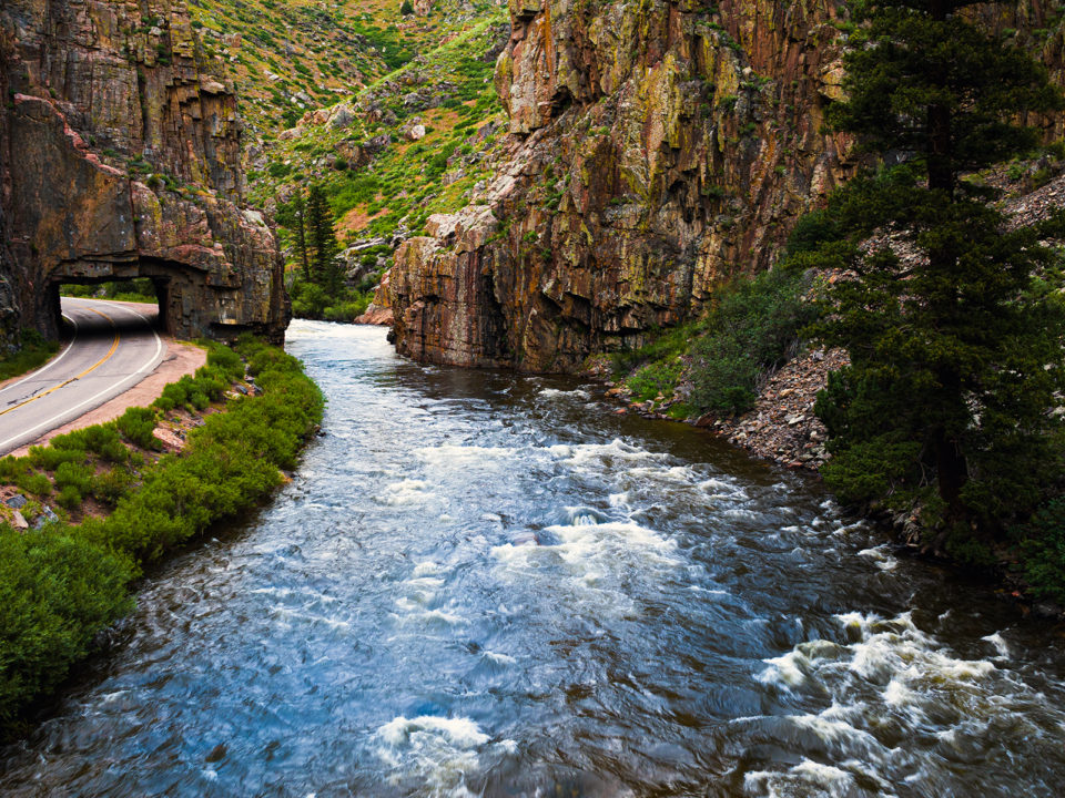
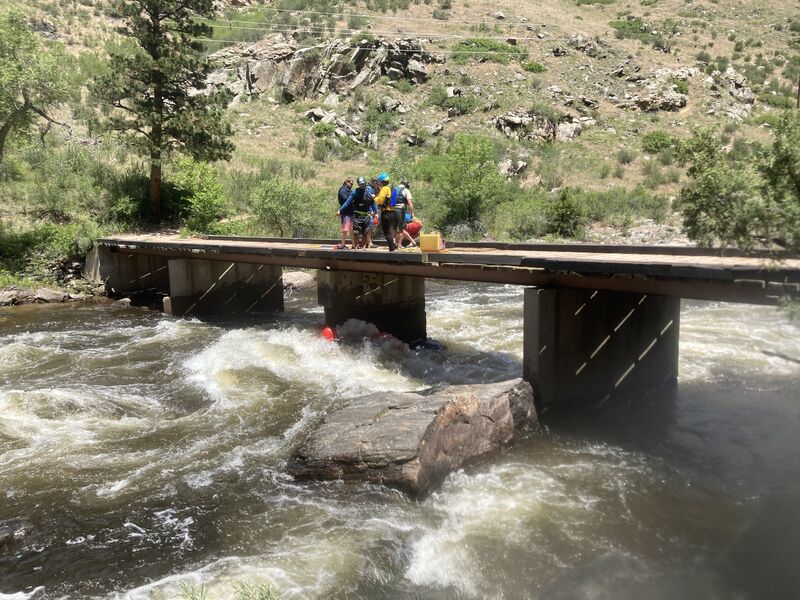
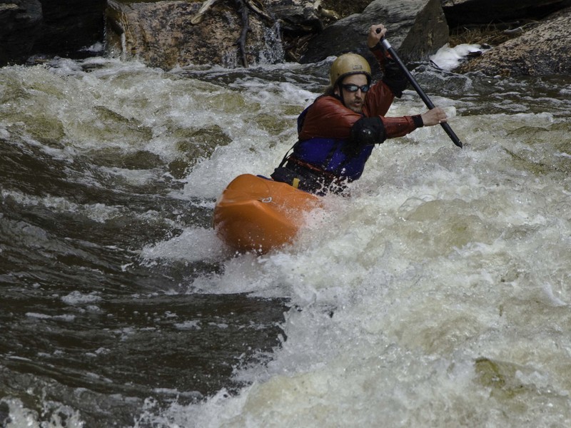
The Bridges section of the Cache la Poudre River, nestled in the scenic Poudre River Canyon near Fort Collins, Colorado, offers a classic Class III whitewater experience. Named for the bridges spanning its path, this stretch requires careful maneuvering around bridge pillars, particularly at Killer Bridge Rapid.
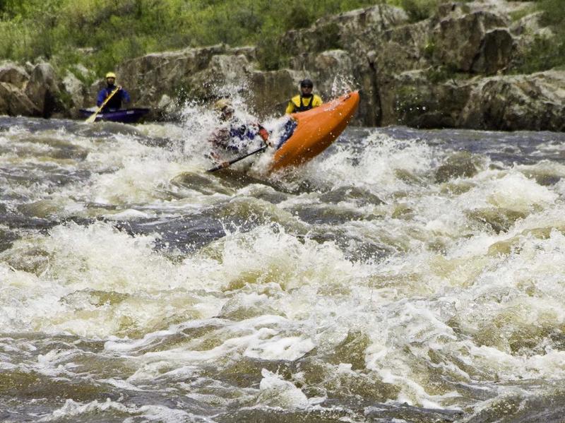
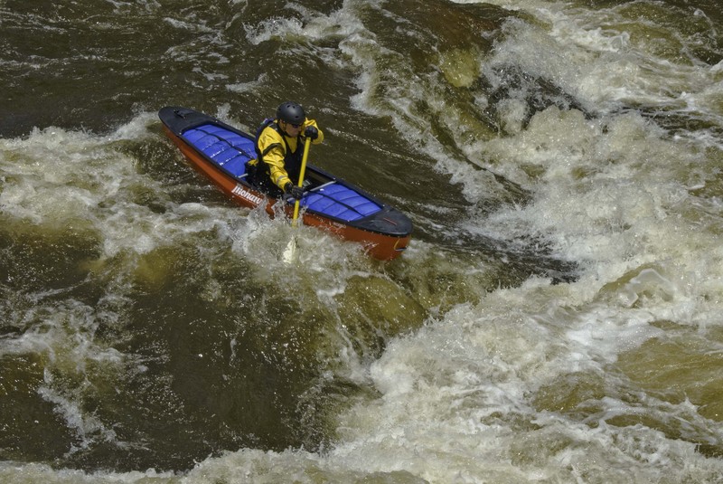
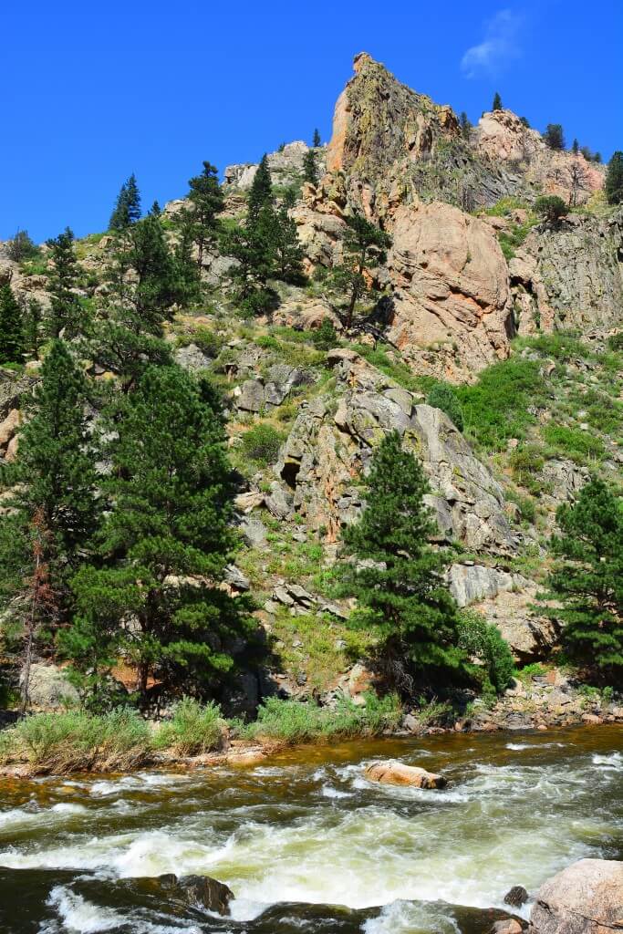
The river flows through a scenic, steep-walled granite gorge, offering continuous rapids with short pools in between. During medium flows (approximately 1,200–1,800 cfs), boaters encounter fast-paced, technical whitewater, dotted with boulder gardens and play spots. Spring runoff and cold water amplify the challenge. Unlike other sections, Bridges maintains navigability at lower flows due to its narrower, deeper channel.
Popular among local paddlers for after-work outings, Bridges suits those with solid Class III skills. For a more demanding adventure, enthusiasts often launch upstream at Hewlett Access, incorporating additional Class IV rapids from the Poudre Park run and continuing downstream through Bridges.
Locals reference water levels using a painted rock above Pineview Falls, located about half a mile upstream of the put-in. Gauge readings are regularly updated on www.poudrerockreport.com throughout the boating season.
For more detailed descriptions of Colorado's whitewater runs, consult resources like 'Whitewater of the Southern Rockies' by Stafford and McCutchen, or 'Colorado Rivers and Creeks' by Banks and Eckert.
Additional Nearby Runs: Big South (Class V/VI), Joe Wright Creek (Class V), Spencer Heights (Class V/VI), South Fork (Class IV/V), White Mile Run/Upper Rustic (Class III), Grandpa's Gorge/Lower Rustic (Class III/IV), The Narrows (Class IV/V/V+), Upper Mishawaka (Class III/IV), Lower Mishiwaka (Class III), Poudre Park (Class IV), Bridges (Class III/IV), Upper North Fork (Class IV/V), Lower North Fork (Class II/III), and Filter Plant (Class III).
Rapids in this Run (6)

Hazards & Portages (2)
Caution: The following locations may require scouting or portaging. Always check current conditions.
Difficulty
Class III
Length
1.9 mi
Gradient
33 ft/mi
Rapids
6
2 Hazards
Access Points
Shuttle Info
Put-in at the long narrow pullout below Pineview Falls at mile marker 112.7.
Make sure you don't park in the commercial bus territory or your car may be towed.
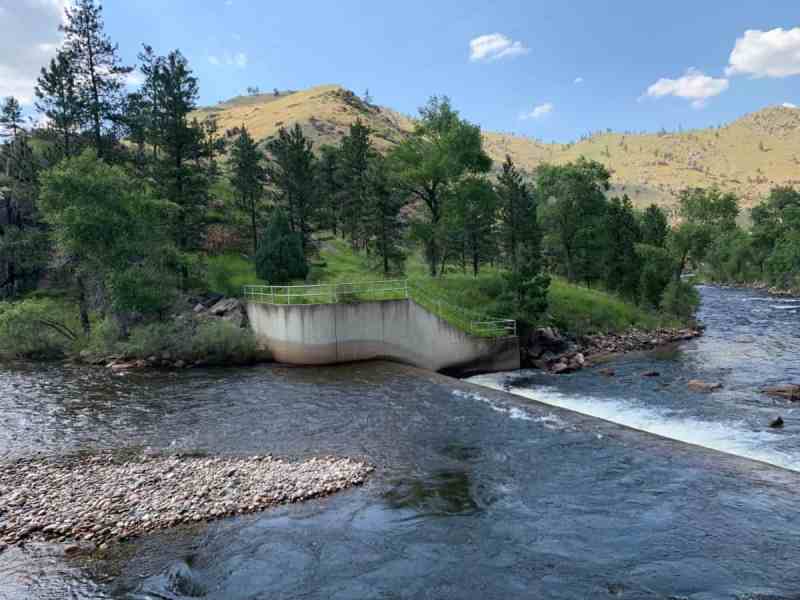
Takeout is a pull-out at mile marker 114.7.
\\* If you haven't used this takeout before make sure to scout it so you know where to get out, just downstream is a low-head dam.
Difficulty Classes
I Easy
II Novice
III Intermediate
IV Advanced
V Expert/Extreme
VI Unrunnable
Current Conditions
5-Day Forecast
Whitewater data from
American Whitewater
American Whitewater