1. Banks to Beehive Bend
Gauge Conditions
Runnable: 800.0 – 12,000.0 CFS
Data from American Whitewater & USGS
Run Map
Run Time Estimate
Select put-in and take-out to estimate time.
Plan This Trip
See wind-adjusted speed maps, forecast planning, and detailed time estimates.
Sign in to generate an AI timing estimate for this run.
Whitewater timing varies with scouting, portages, and group pace. Use as a planning baseline.
Description
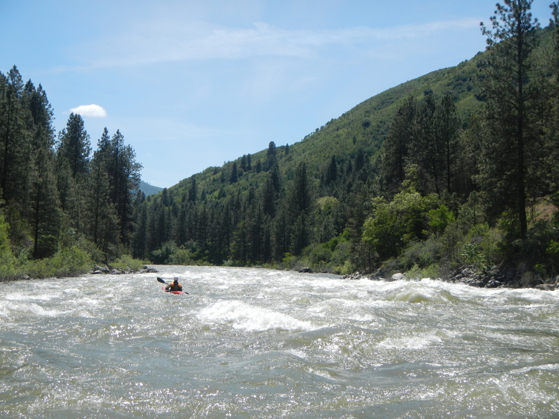
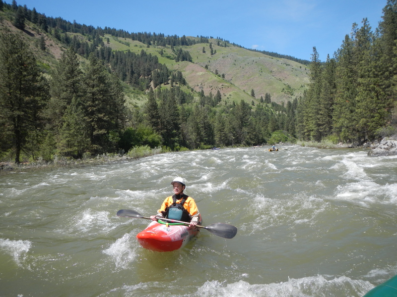
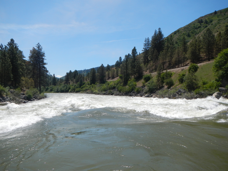
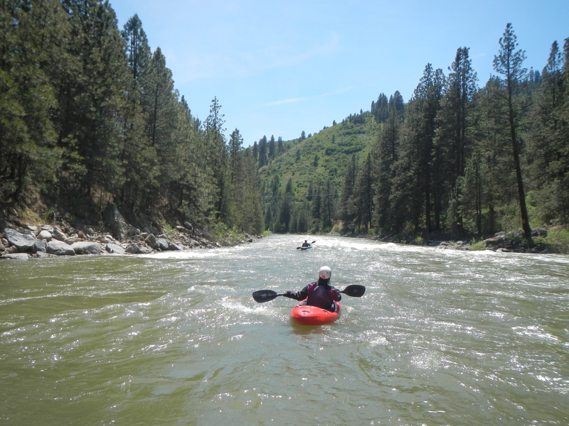
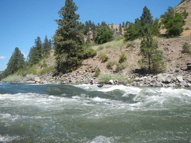
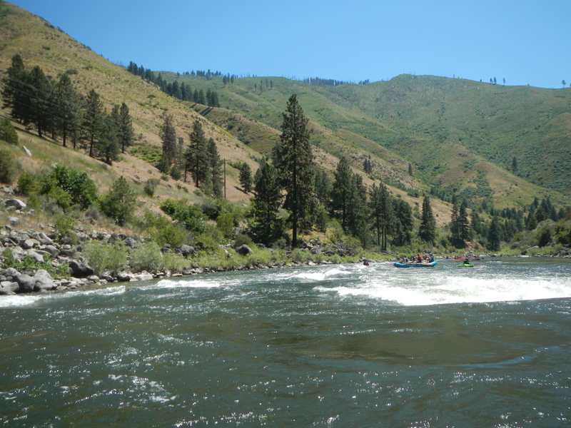
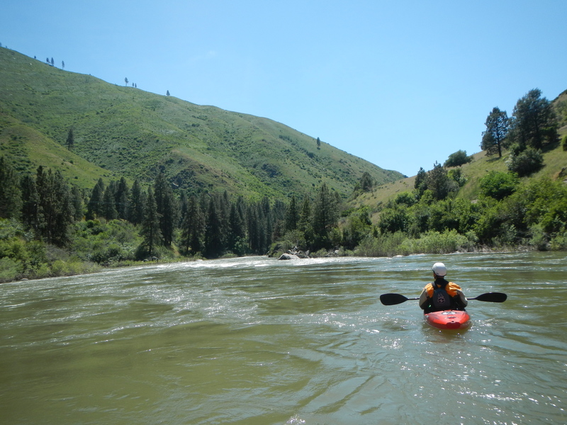
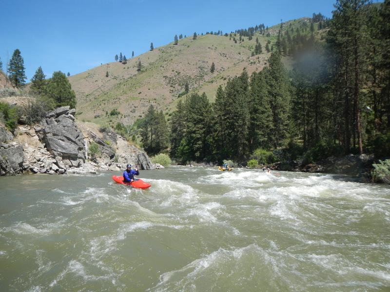
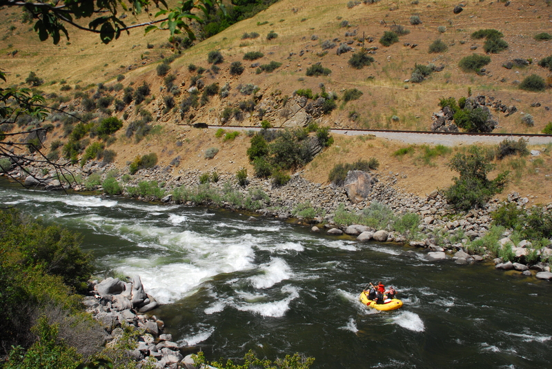
The Payette's Upper Main is classic Idaho whitewater. Less than an hour from Boise, Banks is 'River Central' for the Payette system and lies at the confluence of the Payette's North Fork and South Fork. Banks serves as the take-out for North Fork (class V) and South Fork (class IV) runs and the put-in for the class III section know locally as 'The Main'. There are several class III rapids and plenty of class II rapids (described in detail below). Big bouncy drops will keep experienced paddlers entertained and it's a great training run for intermediate paddlers honing their skills. Advanced paddlers can begin their run on the South Fork Staircase run or the Lower Five on the North Fork Payette and join the group in Banks. Commercial traffic can get heavy on this run during late spring or early summer weekends. This section is recommended for paddlers with at least the basic river-running skills--The Main is the 'real-thang'!
WHEN TO RUN: The Upper Main is runnable most of the year - best Spring through Fall. Be warned that this may become a larger volume river in the spring (June/July) and can reach 15,000cfs. But most of the summer it starts at about 5,000cfs and works it's way down to about 2,000cfs by September. October flows dip to around 800 to 1200. The river is still runnable at this level, but it IS low and a very different river.
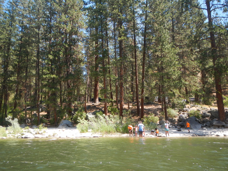
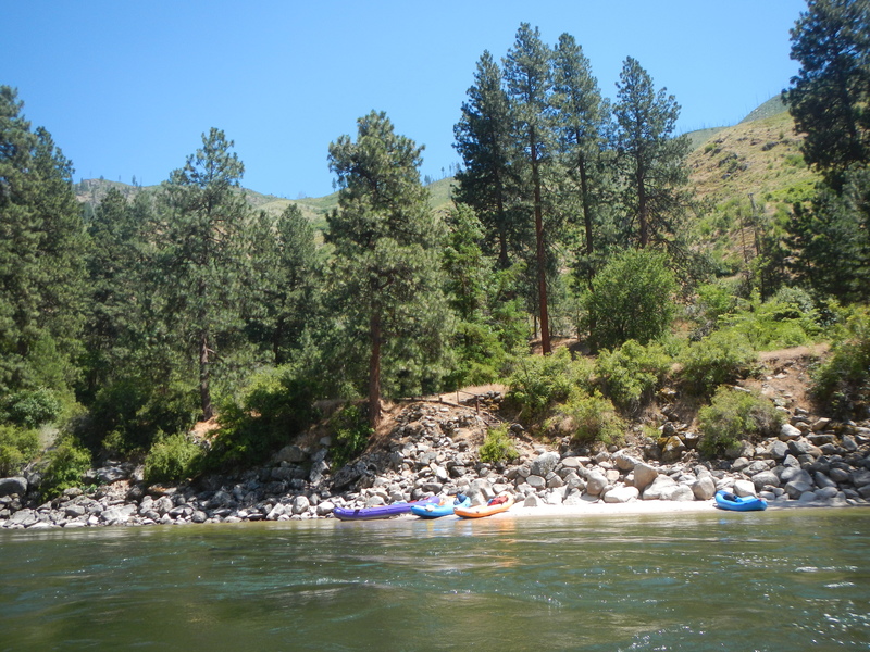
HOW TO GET THERE: From Boise take state hwy 55 north about 32 miles to Banks (Highway 55 mile 78.8) and turn left across the North Fork. This is a fee parking area - $3.00/day or $20.00 season pass for the Payette system. Season passes can be purchased at the USDA Forest Service/Bureau of Land Management Interagency Visitor Center in Boise, Boise National Forest District Offices (Emmett, Lowman, and Garden Valley), Alpenglow Sports (Bogus Basin Rd.), Ponderosa Sports (between Horseshoe Bend and Gardina), Banks Cafe and Store; Garden Valley Store, Boise Army Navy Store, Cascade Outfitters, Cascade Raft Company (about 1.5 miles south of Beehive Bend), Idaho River Sports, and REI. Day passes can be purchased at the river access sites Restrooms and changing rooms available. An alternate put-in is at Milepost 77 - this puts you just downstream from GLOYF, a bony class III+. Another alternate is to put-in at Chief Parrish (Hwy 55 mile 74.2) and run MixMaster and AMF - and pull-out at Beehive Bend (Hwy 55 mile 71.5) or continue down the Lower Main.
SHUTTLE: Leave a shuttle at Beehive Bend (25 miles north of Boise - about 7 miles north of Horseshoe Bend at Highway 55 mile 71.5) or at Chief Parrish (Highway 55 mile 74.2) if you want out prior to MixMaster and AMF. These are also fee parking areas.
OPTIONAL PUT-IN/TAKE-OUTS : If you want to miss GoLeft you can put in at MilePost-77. There is a large pullout you can park in. If you would like to miss Mixmaster and AMF, you can pull pull out at Chief Parrish Campground. With these changes you really only have one class III, Mikes Hole, and lots of great II and II+ action.
WHAT ELSE IS IN THE AREA: LOTS!
-The Payette South Fork (Canyon, Swirly Canyon and Staircase runs)
-Payette North Fork ( Cabarton's class III and Smiths Ferry-Banks class V sections)
-Payette Middle Fork runs - Here and Here.
- Payette Lower Main \- Includes the Climax Wave.
-Also the Gutter for 'park-n-play'.
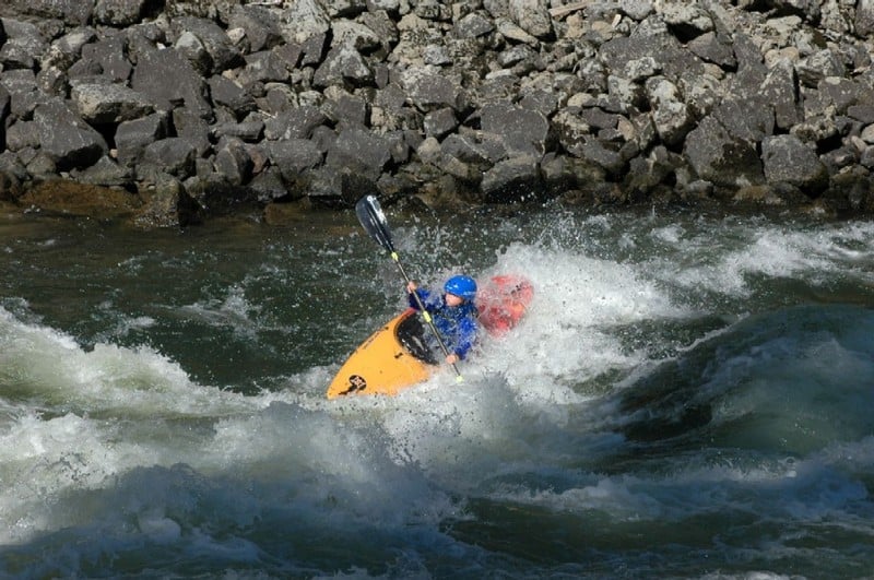
Rapids in this Run (14)
 Rapid
II
Rapid
II
Whitewater 101
 Rapid
II
Rapid
II
Whitewater 102
 Rapid
Rapid
Banks Beach (aka Bikini Beach)
 Rapid
III+
Rapid
III+
Go Left or You're Fired
 Rapid
II+
Rapid
II+
Lunch Counter
 Rapid
III
Rapid
III
Bennnett's Rock
 Rapid
III
Rapid
III
Mike's Hole
 Rapid
II
Rapid
II
Mike's Toe
 Rapid
II
Rapid
II
Chief's Headdress
 Rapid
II+
Rapid
II+
Chief Parrish
 Rapid
Rapid
Chief Parrish Access
Rapid
III
MixMaster
 Rapid
II+
Rapid
II+
AMF Playspot
 Rapid
III
Rapid
III
Adios My Friend (AMF)
Difficulty
Class III+
Length
7.2 mi
Gradient
17 ft/mi
Rapids
14
Access Points
Difficulty Classes
I Easy
II Novice
III Intermediate
IV Advanced
V Expert/Extreme
VI Unrunnable
Current Conditions
5-Day Forecast
Whitewater data from
American Whitewater
American Whitewater