1.) Bergton Rd. at Bergton VA (German River/Crab Run conf.) to Little Dry River conf. (Little Dry Rd near Fulks Run)
Linked via: Proximity 93% confidence Synced 6mo ago
Gauge Conditions
Runnable: 3.3 – 6.2 FT
Data from American Whitewater & USGS
Run Map
Run Time Estimate
Select put-in and take-out to estimate time.
Unlock Advanced Trip Planning
See wind-adjusted speed maps, forecast planning, and detailed time estimates.
Sign in to generate an AI timing estimate for this run.
Whitewater timing varies with scouting, portages, and group pace. Use as a planning baseline.
Description
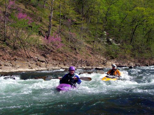
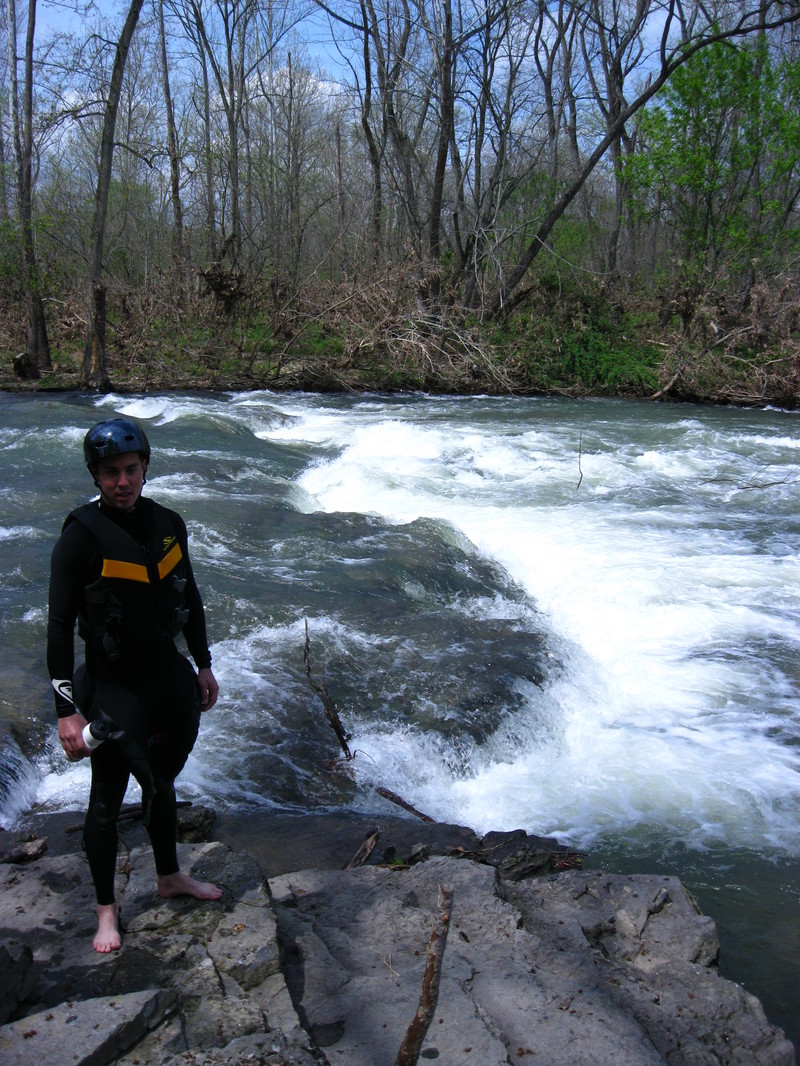
Rt 820 to the confluence with the Little Dry River is a great little run! Ran at 4.3ft. Only hazards are 2 concrete fords (portage), low bridge (fine today, but will be trouble at 6ft), one 2/3 river wide strainer (sneak on right), and a massive river wide strainer pile extravaganza (obvious portage). All visible from a distance. I'd advise against taking a complete beginner due to the small size of the eddies above hazards. An advanced beginner or intermediate paddler would be fine. Approx. 9 miles.
See Also:
_Classic Virginia Rivers,_ Ed Grove (1992 ed), p. 168.
_Virginia Whitewater_, Roger Corbett (2000 ed.), p. 101.
_Exploring Virginia's Waterways_, Ed Gertler (2022 ed.), p. 38.
Rapids in this Run (2)
Difficulty
Class I-III
Length
9.2 mi
Gradient
10 ft/mi
max 29
Rapids
2
Access Points
Difficulty Classes
I Easy
II Novice
III Intermediate
IV Advanced
V Expert/Extreme
VI Unrunnable
Current Conditions
5-Day Forecast
Whitewater data from
American Whitewater
American Whitewater