1. Chisolm Trail Rd to CR 122 (Red Bud Ln) (5.5 miles)
Gauge Conditions
Runnable: 300.0 – 2,000.0 CFS
Actual range of best boatability uncertain. Please help your fellow boaters by submitting a comment or report.
Data from American Whitewater & USGS
Run Map
Run Time Estimate
Select put-in and take-out to estimate time.
Plan This Trip
See wind-adjusted speed maps, forecast planning, and detailed time estimates.
Sign in to generate an AI timing estimate for this run.
Whitewater timing varies with scouting, portages, and group pace. Use as a planning baseline.
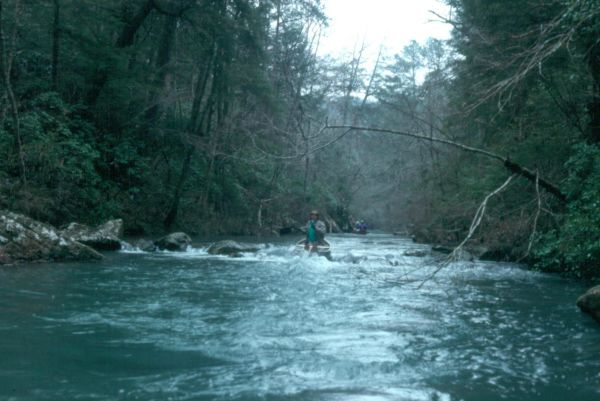
Description
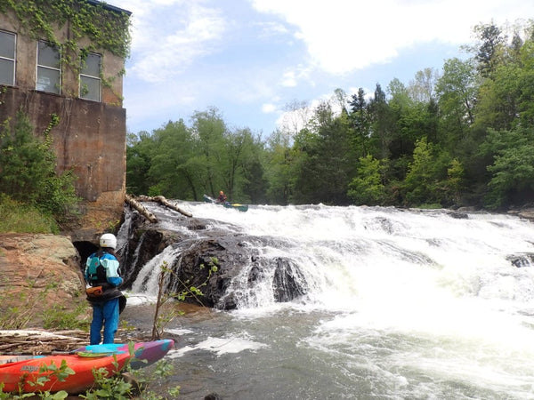
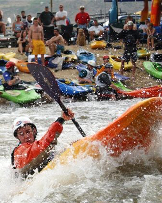
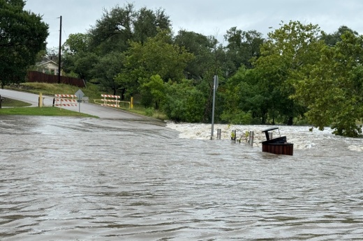
Scenic urban run in Round Rock, north of Austin. The upper part of the run has flat water and a 10-foot runnable dam, but the lower part of the run has some good play at certain levels. Whitewater boaters may choose to put in below the Veterans Park dam to avoid the first mile of mainly flat water. Texas Whitewater describes mostly small rapids but mentions some 'fine surf spots' in the last mile.
Beta from local paddlers suggests that 400 cfs is a fun level, but 200 cfs can get scrapey (especially in a canoe.) Strainers are a danger but not quite as bad as in the upstream section.
Distances and gradient measured using GIS tools in 2015.
Rapids in this Run (7)

Hazards & Portages (3)
Caution: The following locations may require scouting or portaging. Always check current conditions.
Difficulty
Class II+
Length
5.7 mi
Gradient
13 ft/mi
Rapids
7
3 Hazards
Access Points
Difficulty Classes
I Easy
II Novice
III Intermediate
IV Advanced
V Expert/Extreme
VI Unrunnable
Current Conditions
5-Day Forecast
Whitewater data from
American Whitewater
American Whitewater