1) CR 1 (Five Points Rd) to US Route 231
Linked via: Nhdplus discovery 90% confidence Synced 5mo ago
Gauge Conditions
Runnable: 1.5 – 9.0 FT
Data from American Whitewater & USGS
Run Map
Description
Flow Information
For this section to be "fun" (from a whitewater enthusiast point of view) minimum is 3.' For those looking for something to paddle, John Foshee states this section can be run all the way down to 1.5.'
River Description
The putin on CR 1 (Five Points Rd) has been known to have car break-ins, so be aware.
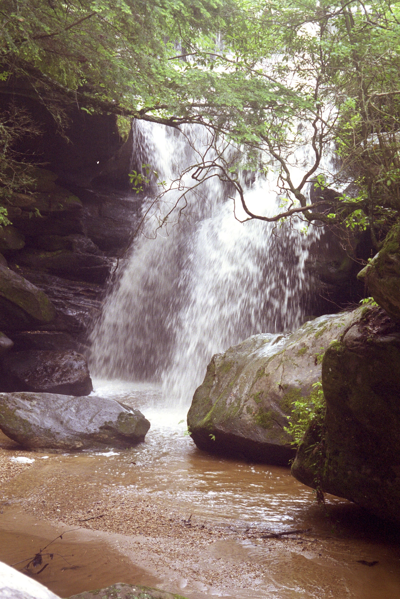
Described by John Foshee as a "pretty stretch of the Locust" and a nice prelude to the whitewater section by "gradually leading you from shallow shoals to harder shoals to rapids." The first 4.8 miles are pretty flat. When you see a large island and a small island, the 5 foot waterfall is coming up. First timers, and at high-water, land on river right to scout. Similar to Powell Falls, the right side forms a stair step and the left side is more of a vertical drop. At higher water a pretty bad recirculating hydraulic develops here and it may be best to portage.
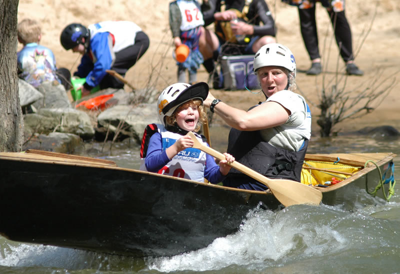
At mile 6.6 is the Graves Creek confluence. Around mile 8 you'll find yourself at Kings Bend which is the sight of the annual Locust Fork Invitational and Classic races. There are a series of shoals next to a rock bluff on river right which make for a scenic paddle through this section. Just below the "slalom shoals" is King's Hole, about a 1.5' drop which makes a great playspot. The take out for this section at mile 10.2 is on RIVER RIGHT. Park your shuttle vehicle on the old road bed. This is the put in for the "whitewater" section. Like most takeouts in Alabama, it's short but steep. \*The river left side at the take-out is off limits to everyone. The owner is not friendly to trespassers. Use river right!\*
Race Information - Locust Fork Invitational and Locust Fork Classic
Races are held in February and March each year. Events include Slalom, Boatercross and Downriver. For more information visit: http://www.alabamacupraces.com/index.html
_Alabama Canoe Rides and Float Trips_, Foshee, John
See also www.alabamawhitewater.com.
Rapids in this Run (2)
Waterfalls (1)
Playspots (1)
Difficulty
Class II
Length
10.1 mi
Gradient
20 ft/mi
Rapids
2
Access Points
Shuttle Info
Take 5 Points road out of Cleveland Al, drive on it for 6.8 miles as it turns into Coal Branch road on Google maps. There is a bend in the Locust where it is close to the road; park here. Be aware of a trend of car break-ins at this putin.
Local boaters may have access to private putins as well.
For the Takeout, go north on Hwy 79 from Cleveland Al, until the Hwy crosses the river. Turn at the next right and go back down the old hwy road bed and park there. You will take out on river right.
Do NOT attempt to use river left, it is fenced and posted no trespassing. The owners are not friendly to trespassers.
Difficulty Classes
I Easy
II Novice
III Intermediate
IV Advanced
V Expert/Extreme
VI Unrunnable
Current Conditions
5-Day Forecast
Whitewater data from
American Whitewater
American Whitewater